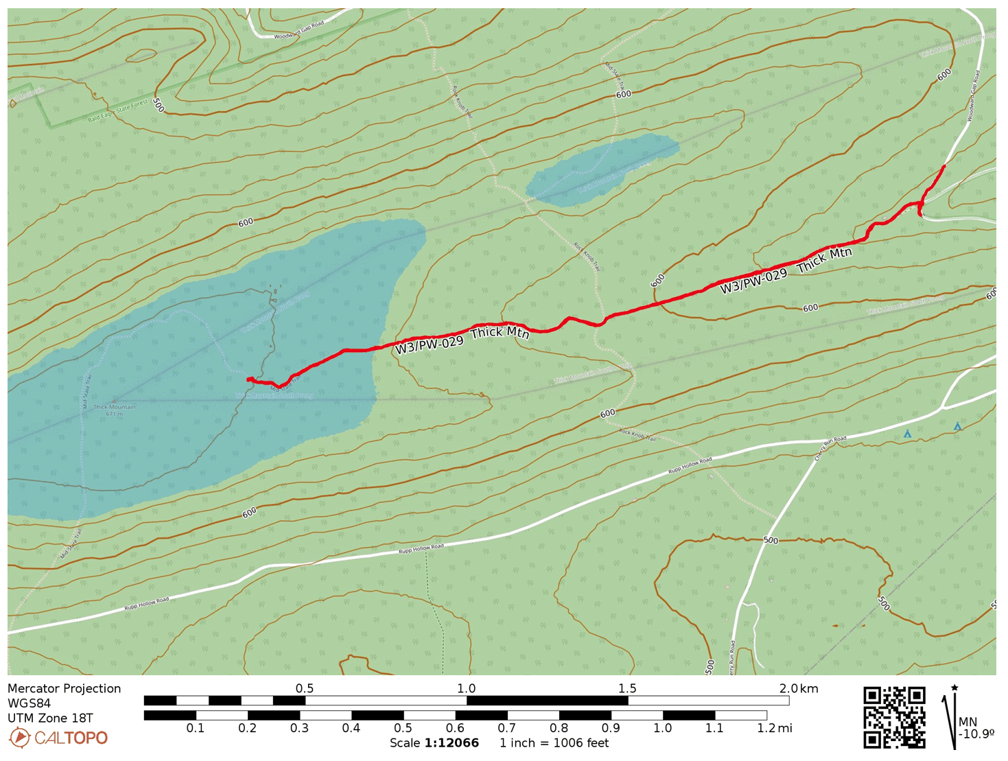
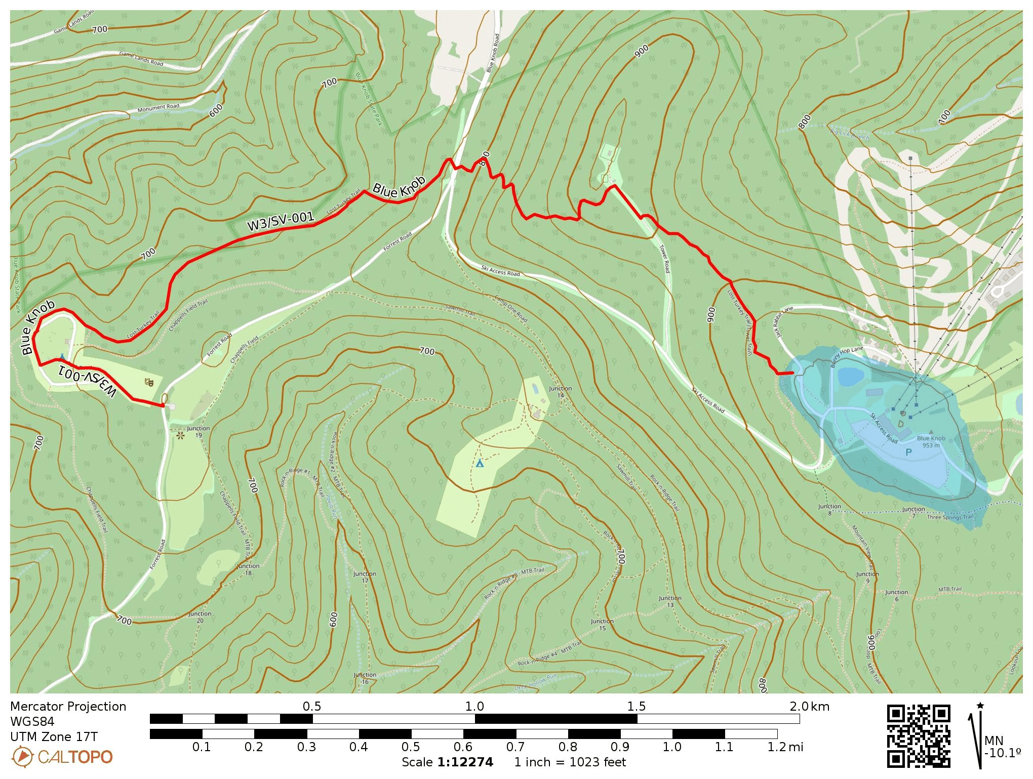
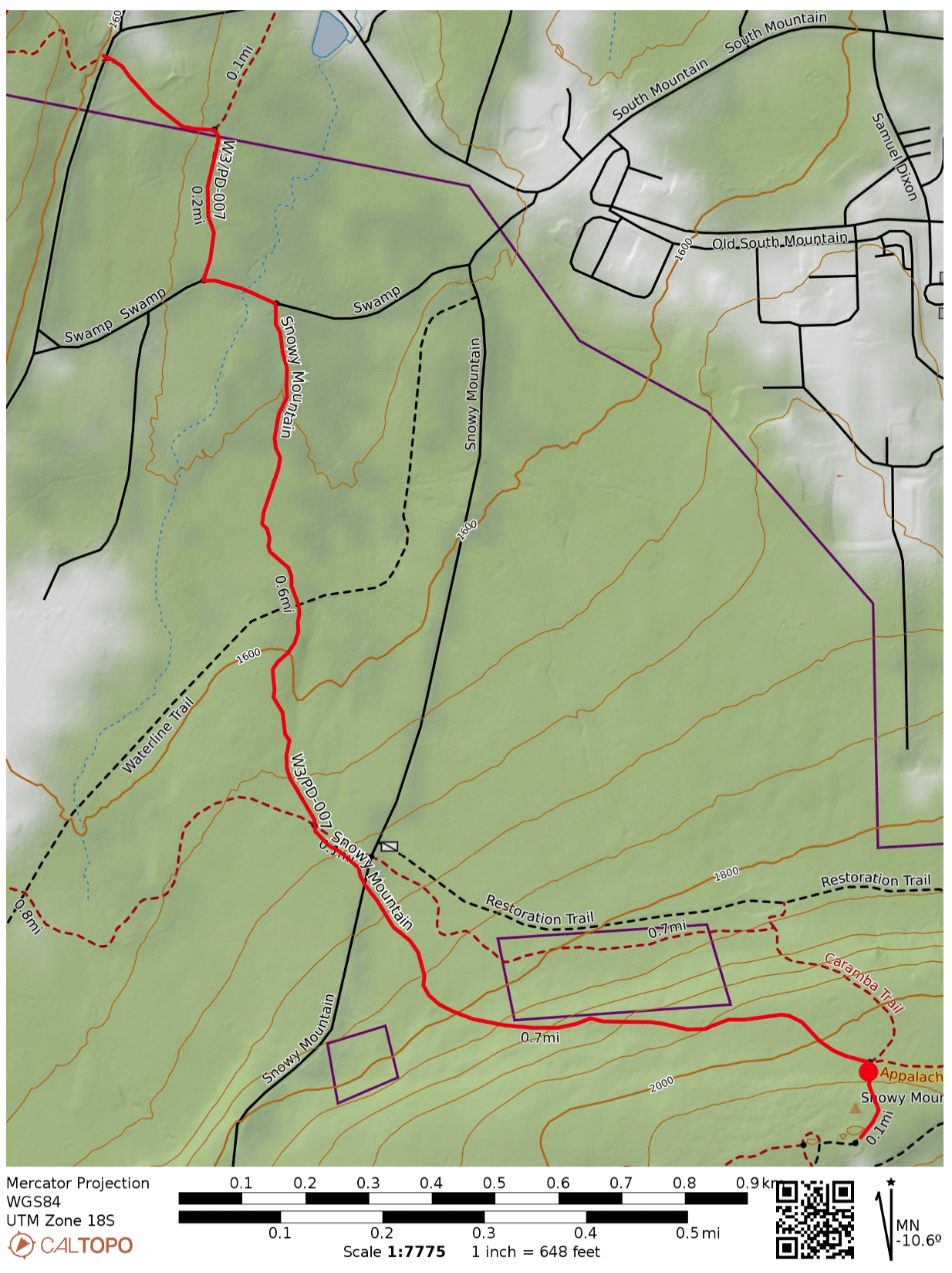
White Mountain has only been activated twice before, by two prolific W3 activators NK8Q and W3QP. It’s probably because of how strenuous the climb is, though I found the activation itself to be more pleasant than the one I just finished, W3/PW-029 Thick Mtn. Driving to this last hike of the day required me to drive past Poe Valley State Park and Poe Paddy State Park in succession along the scenic Penns Creek, which is evidently prime for trout fishing. These looked like nice parks to overnight in, so I’ll definitely be back to the area.
I parked at Havice Valley Road about 1.2 miles down the road from Poe Paddy State Park, as reported by W3QP. Here off the side of the road there was room for 2-3 cars to park, across from the driveway for a cabin. A short walk down this driveway is a bouncy suspension bridge over Swift Run, which continues as Long Path trail along the edge of Peens Creek Wild Area, marked with yellow blazes.


Before long, the hike became a relentless uphill trudge. The first 3/4 of a mile was not too bad, with an average grade of 15-20%. Then, things got ridiculous for the last 1/3 of a mile, with 400 feet of scrambling up a steep boulder field, over 50% grade at times. This was a slog, especially after having done 9 tough, rocky miles throughout the day so far, but coming at it fresh would have been all right.
Once I made it to the junction with the red-blazed White Mountain Ridge Trail, which continues northeast to the summit, I stopped to set up. I did this rather than continue up to the summit because I was now in the activation zone, I was tired, and the trail that way looked overgrown. It was also getting just a couple hours to sunset, so I was eager to get the QSOs rolling.


I had accidentally left my notepad in the car (doh!), so this was my first time using logging software in the field, Ham2K PoLo. I actually enjoyed the experience, and liked how it brought up each chaser’s name. I don’t like entering callsigns on a phone keyboard, but that’s more of a me problem. VA2EO was my only DX, yet again.
I packed things up, then descended slowly. Bring poles! I didn’t, and I fell, accidentally dropping my phone without noticing. I had to come back for it, which was a heartbreaking climb scanning through the boulder fields. Luckily, I did find it after about 10 minutes of searching.
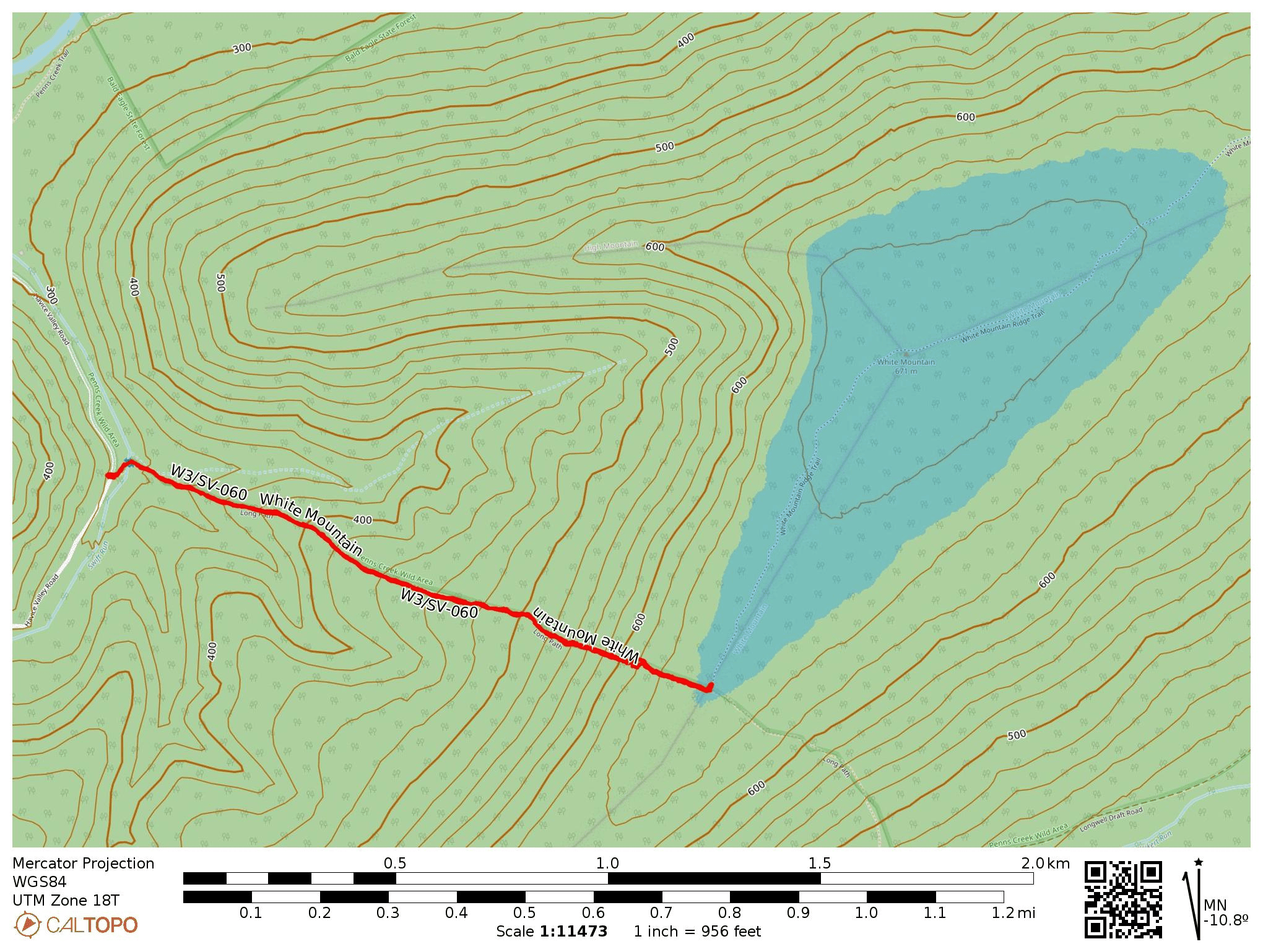
- Trailhead: 40.82389, -77.40512 : A spot off the west side of Havice Valley road.
- Map: [AA3TZ SOTA], some info on the area from Purple Lizard Maps
- Route: 2.3 mile RT hike on Long Path, steep climb of 1100 ft into activation zone at junction of White Mountain Ridge Trail.
- POTA: Bald Eagle State Forest (US-5462)
Then it was off to Reeds Gap State Park (US-1412) where I would camp for the night. I did a late-shift POTA activation, racking up 58 QSOs! By the morning, the coronal mass ejection finally arrived at earth, and the raging G8 geomagnetic storm scuttled my plans for a morning hike up Thick Mtn, W3/SV-022. I’ll be back!