This one has been on my list for a while as it is a 007 summit, and I came here after my early morning activation of Martin Hill. State Game Land 104 is the way to get to this SOTA peak as other routes are gated or private property. I followed the path suggested by Dave K2CZH, taking Tiger Valley Red from Hyndman to SGL 104, where Tiger Run Rd starts. This gameland is on steep terrain and a scenic road winding up along the northeast side of Savage Mountain.
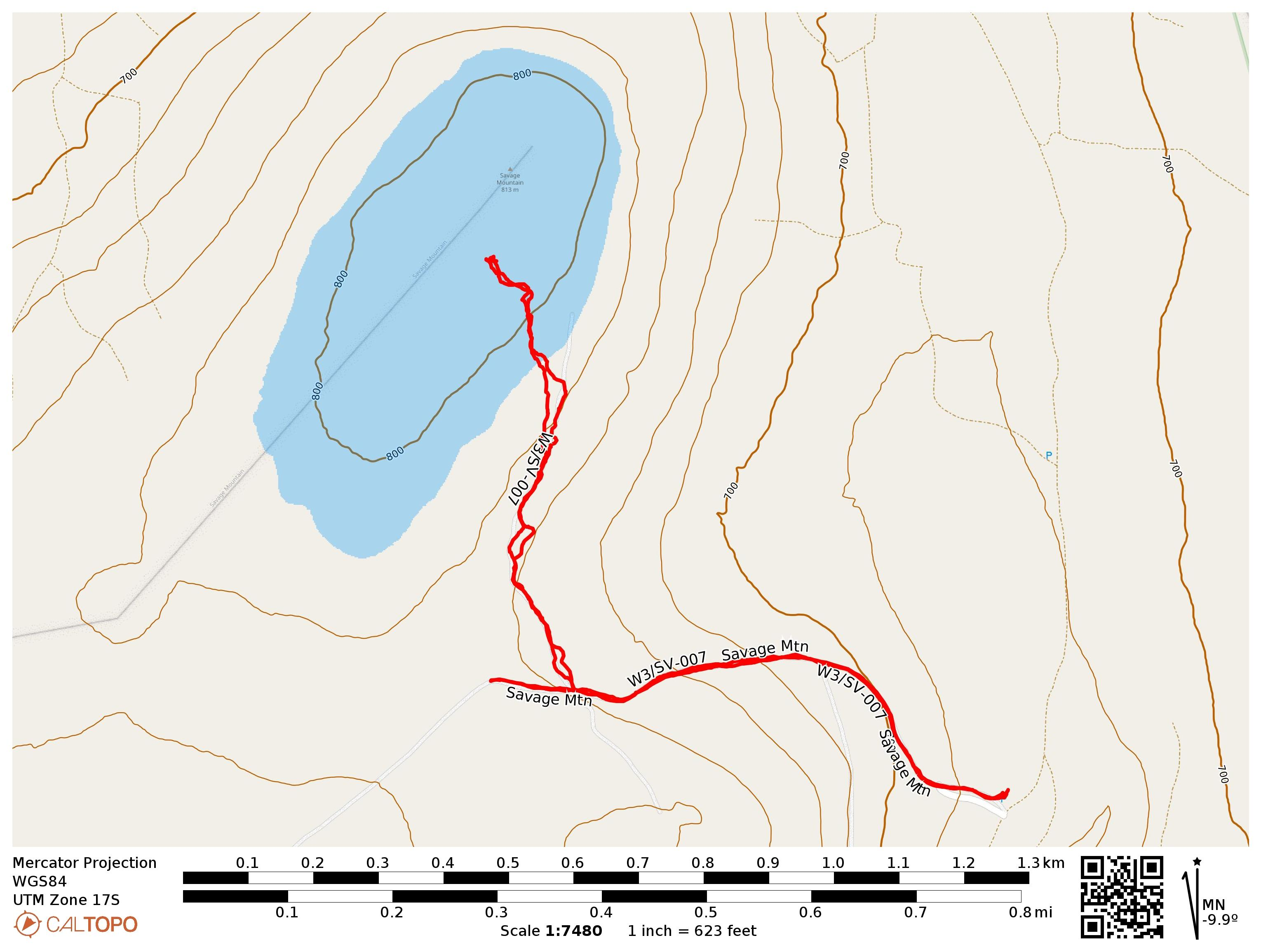
I drove to the parking area suggested by K2CZH. As this was late December, no gates were closed for hunting season. Checking the PA Game Commission’s Seasonal Roads map, there is a gate at 39.87138,-78.72861 that closes Tiger Run Rd seasonally (open from late September to early February), that would have been about 0.5 miles from the next parking area, where I ended up hiking from (39.87781,-78.72723).
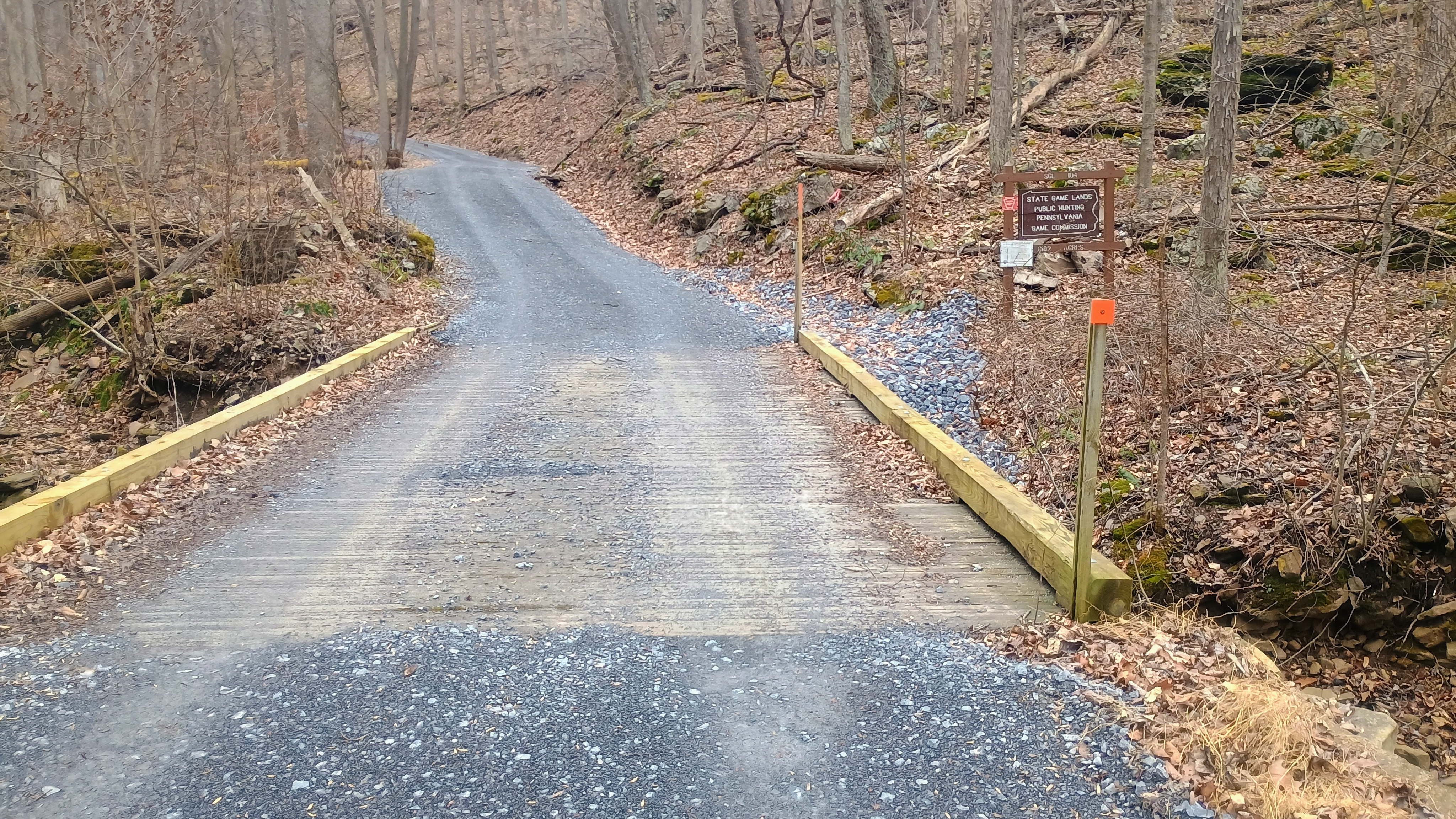
The wind was starting to pick up as I hiked out. After a half mile hiking on a gravel road, I had to go off this path to follow a quasi-trail. A lot like the hikes away from the roads in other game lands, this is somewhere between a cleared trail and open bushwhack.
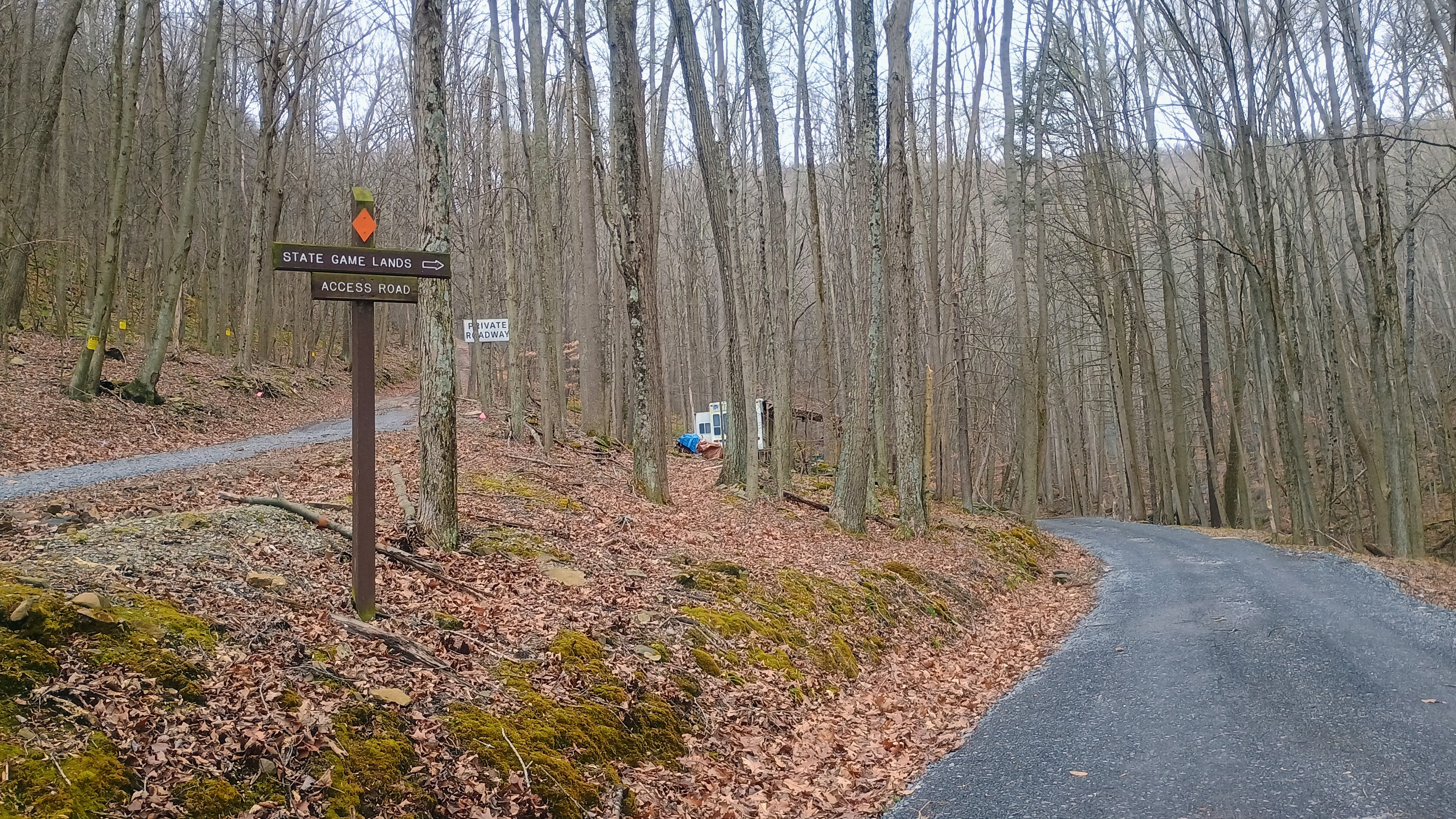
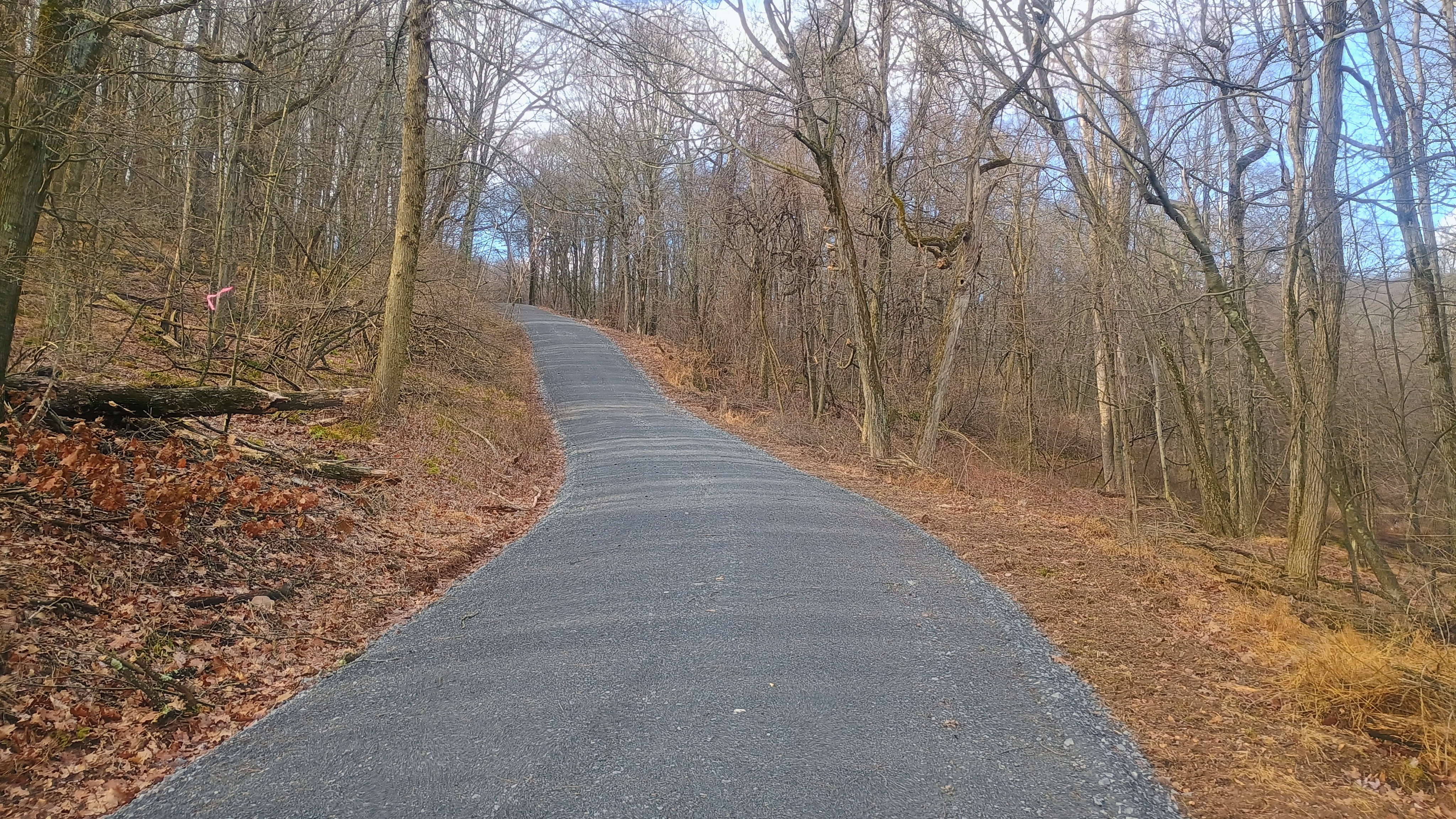
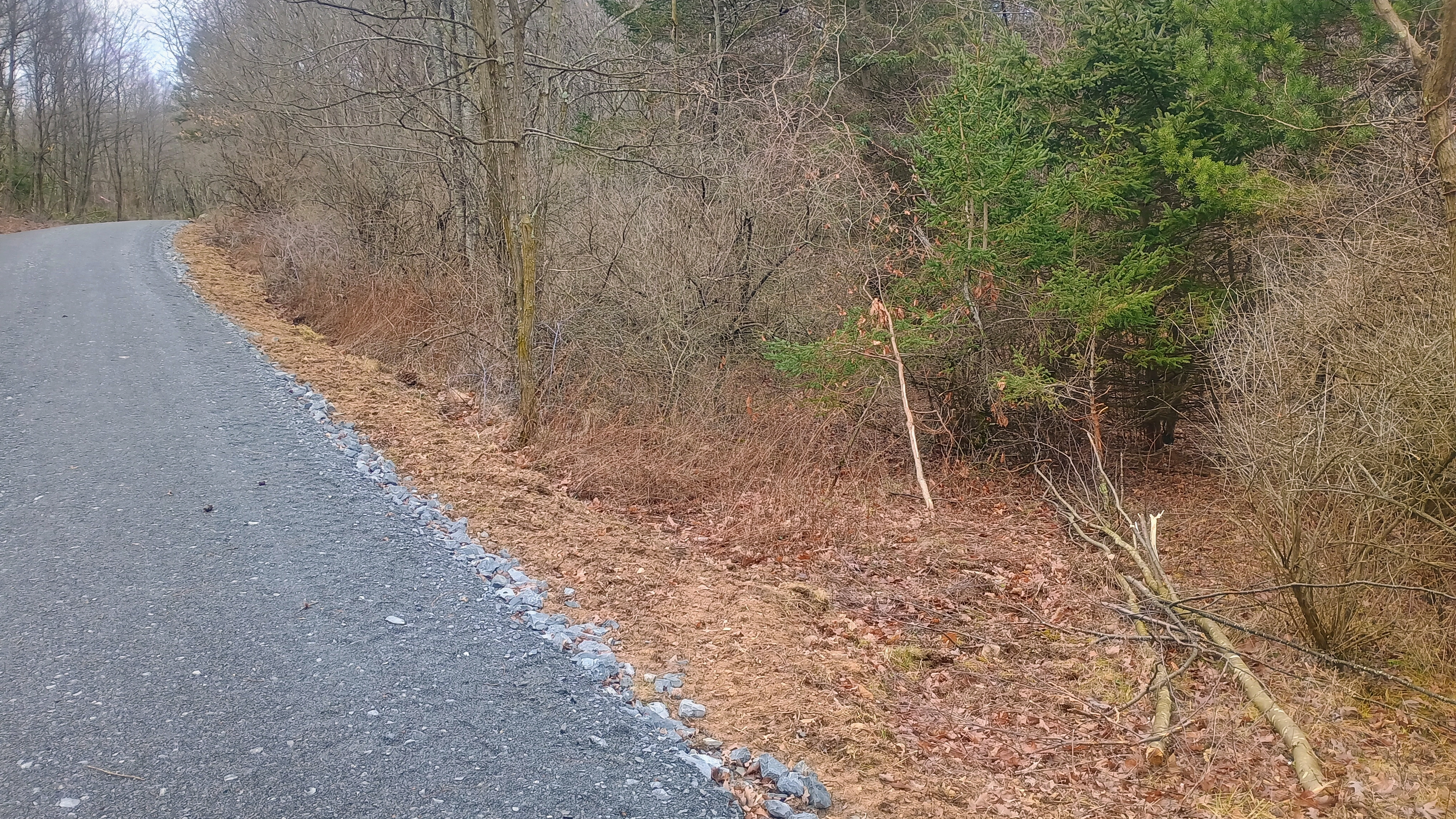
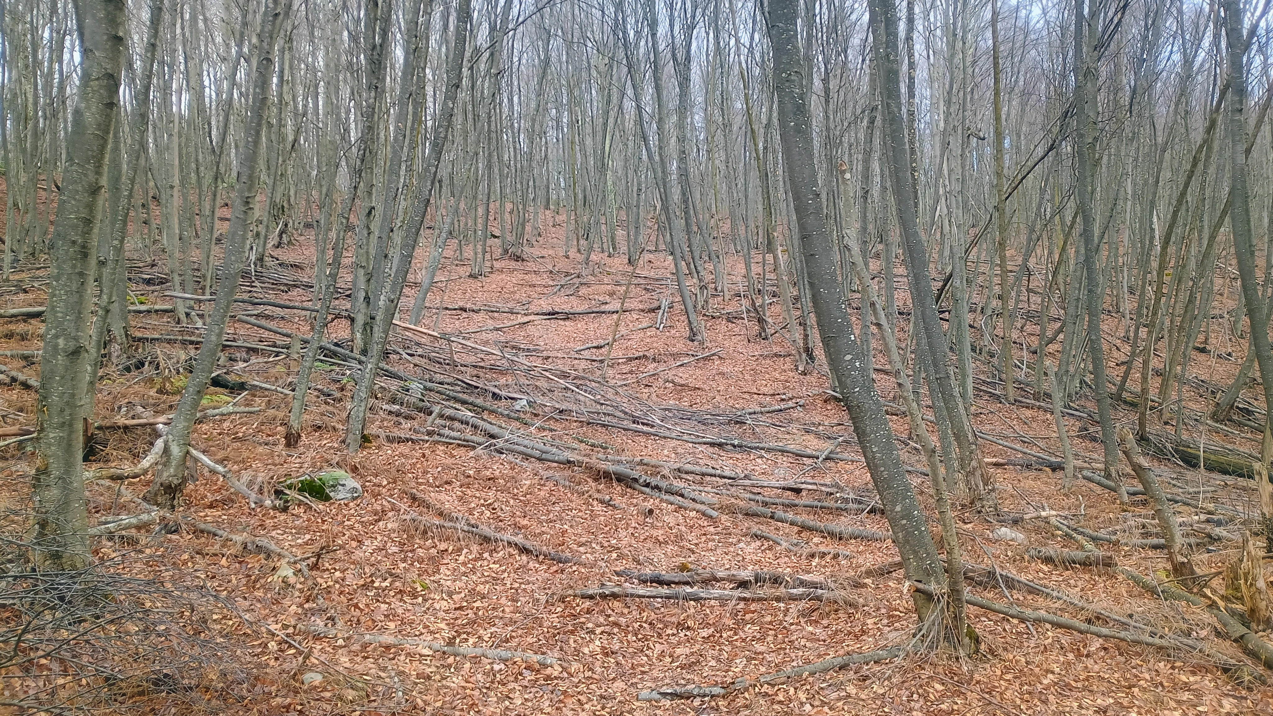
The hike starts by climbing this road for a half mile.To the right is the entrance to the “trail” to the top. It’s easy to miss, and I walked right on by at first and had to backtrack.Further from the road, the clearing for the trail is easier to follow. This really is more of a bushwhack through the forest.
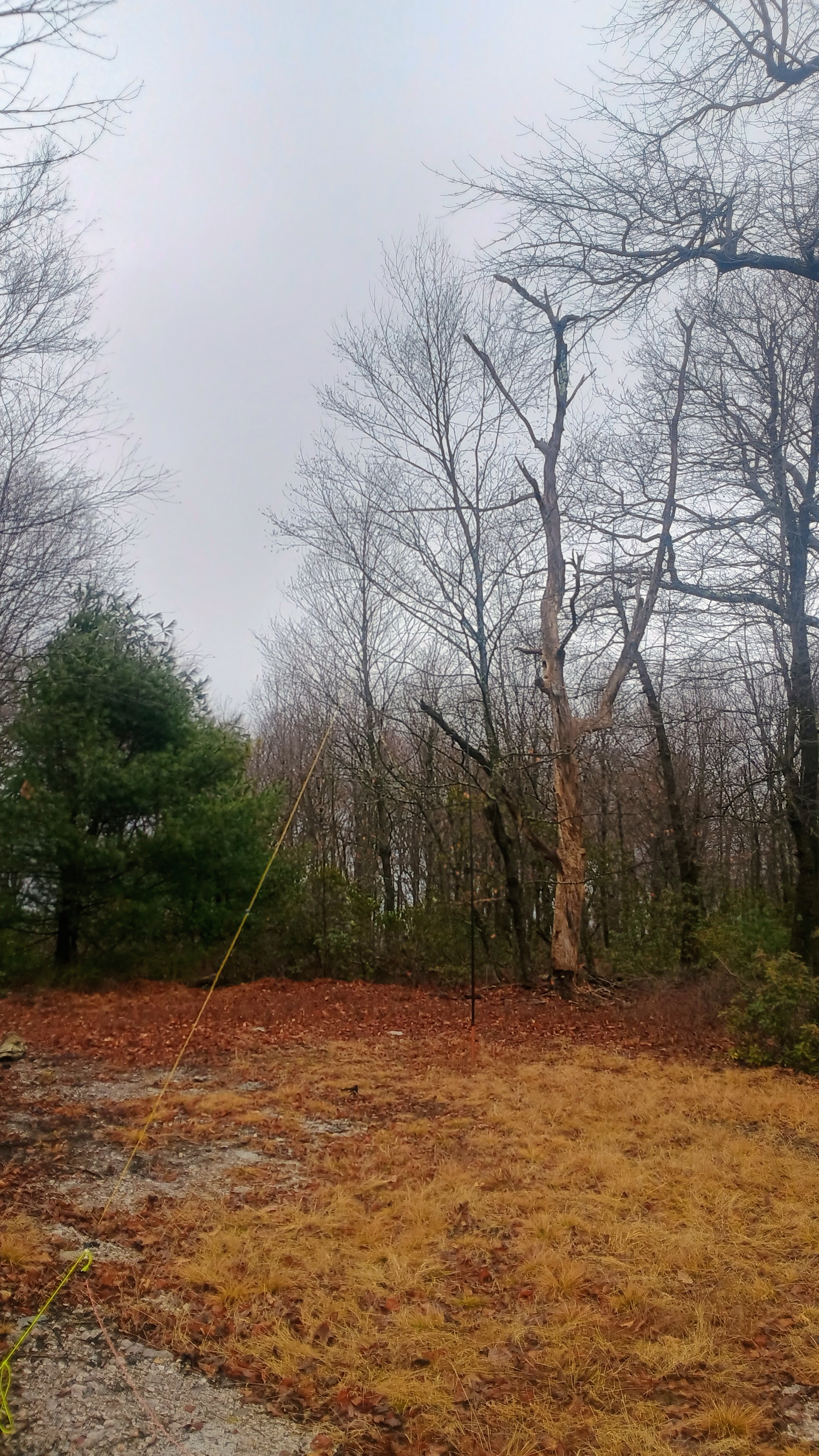
The wind had really started to come in as I set up close to the summit. The trees were swaying a little and a light dusting of snow also came down. It was a dramatic activation, but a successful one with 43 QSOs, including a 17m S2S with KC3TVC on W3/SV-005 Wills Mountain less than 5 miles away and who I had just met on Martin Hill earlier this morning.
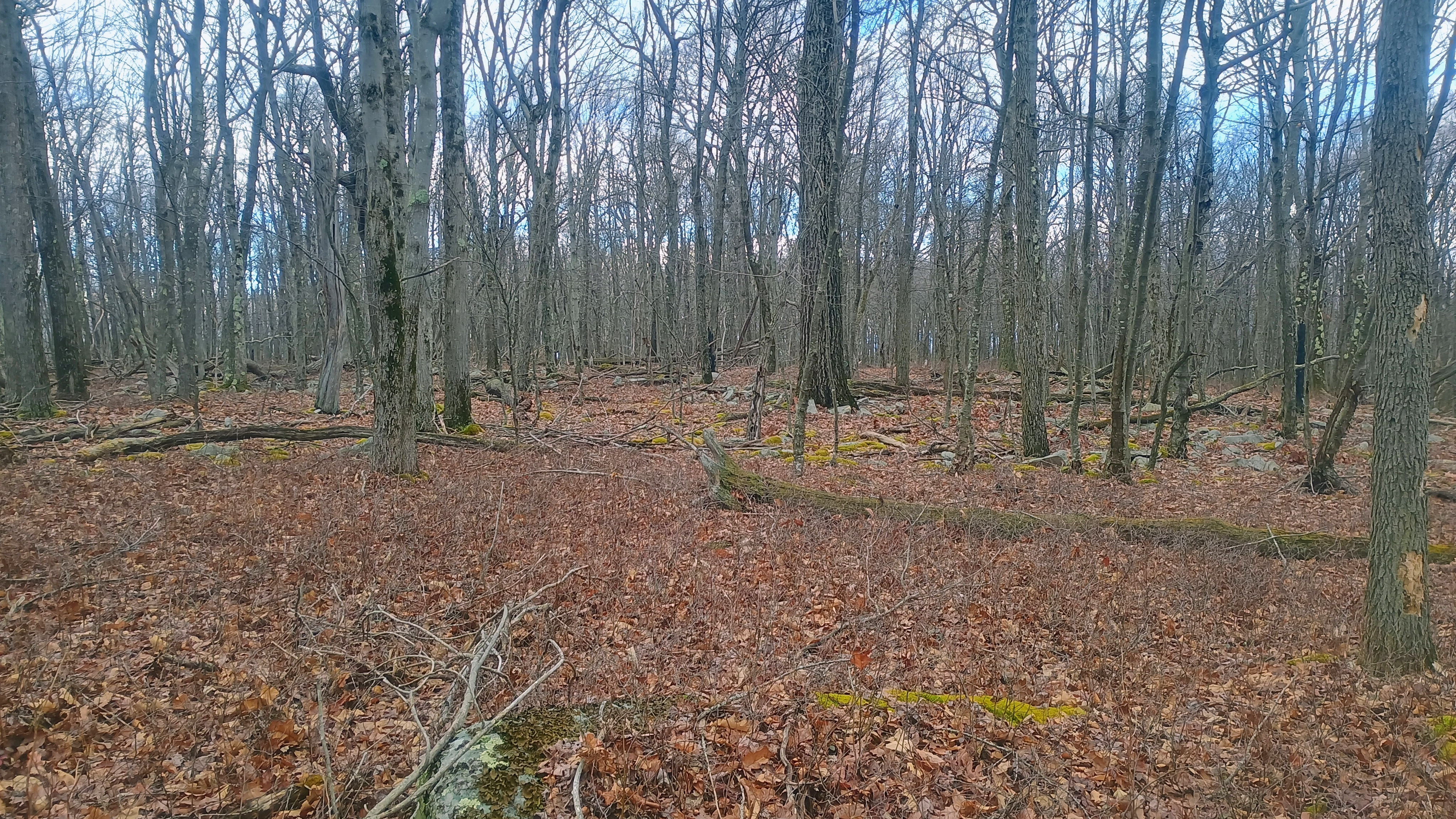
The summit area.A light dusting of snow came down during radio time.
Wills Mtn, Martin Hill, and Savage Mtn are SV-005, -006, and -007 respectively, and make up a good trio of summits south of Bedford. The deep ridge/mountain topology makes it take longer to get from peak to peak, but they’re all worth doing. Savage Mountain was the last of the trio I have activated.
Trailhead: 39.87776, -78.72723 : SGL 104 Parking Area
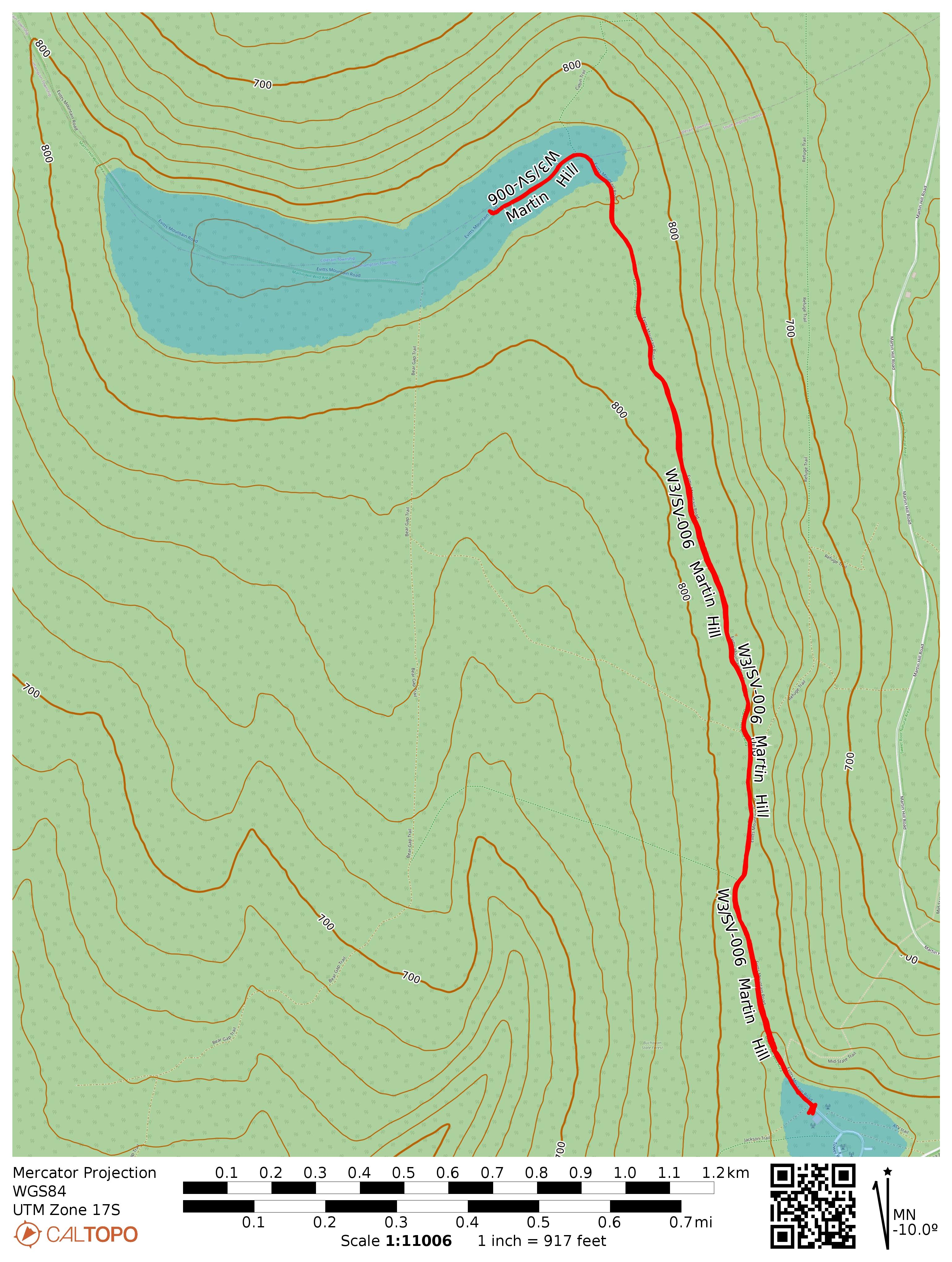
After my evening in Bedford, I returned to this spot in Buchanan State Forest where I failed to activate last winter. I had run out of time after taking a long W3/SV-005 Wills Mtn and operated at a spot called “Martin Hill” on my map that was about a half mile from the AZ. It was time for redemption!
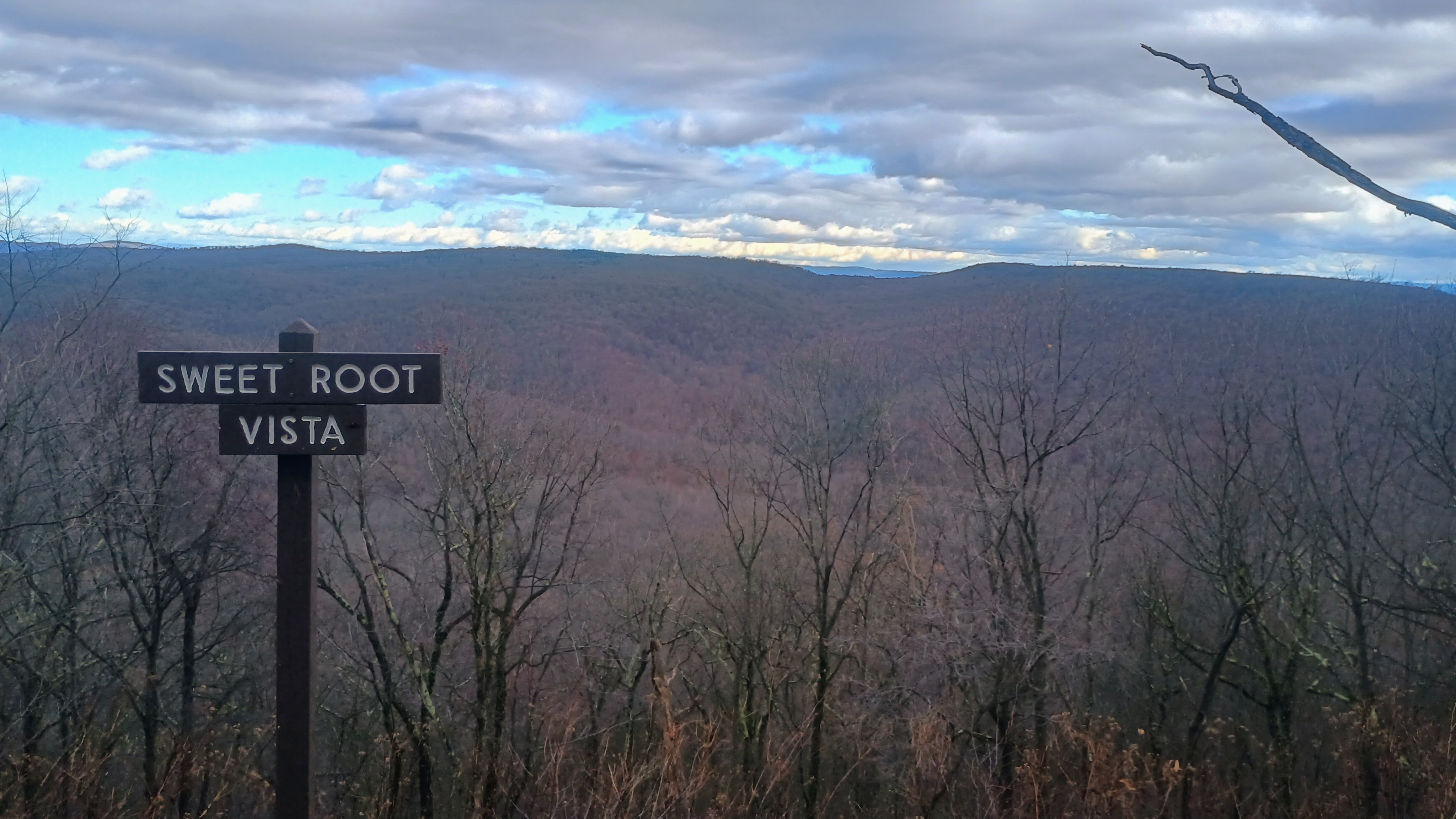
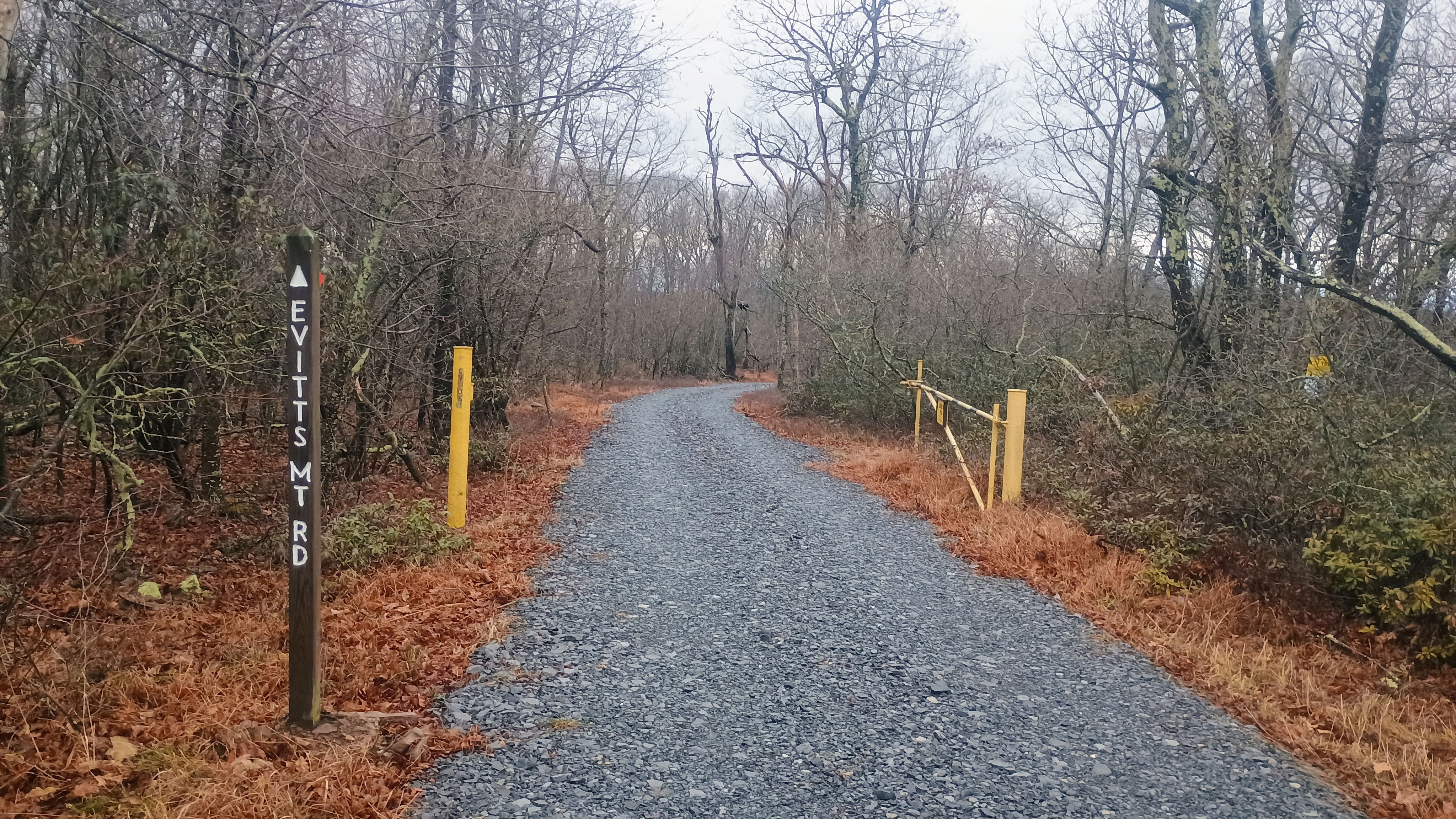
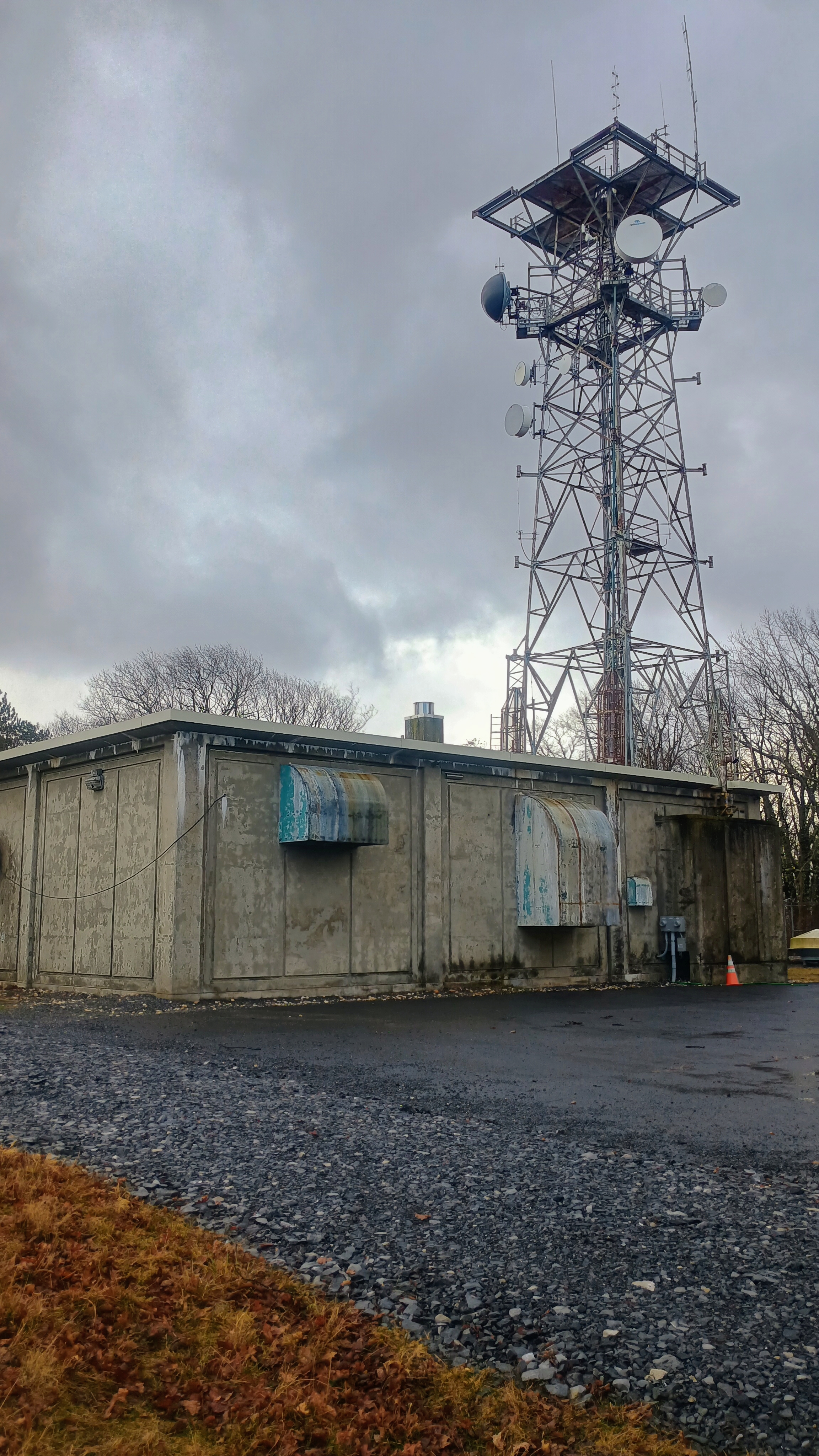
After driving through Sweet Root Natural Area and seeing its alluring vistas, I parked at the end of Tower Road by the radio tower. The gate leading to Evitts Mountain Road was open, so I could have kept driving all the way into the activation zone along the well-maintained gravel road, which is characterized as a “Drivable Trail” on the forest map. I opted to hike in instead, following the same path I did last time.
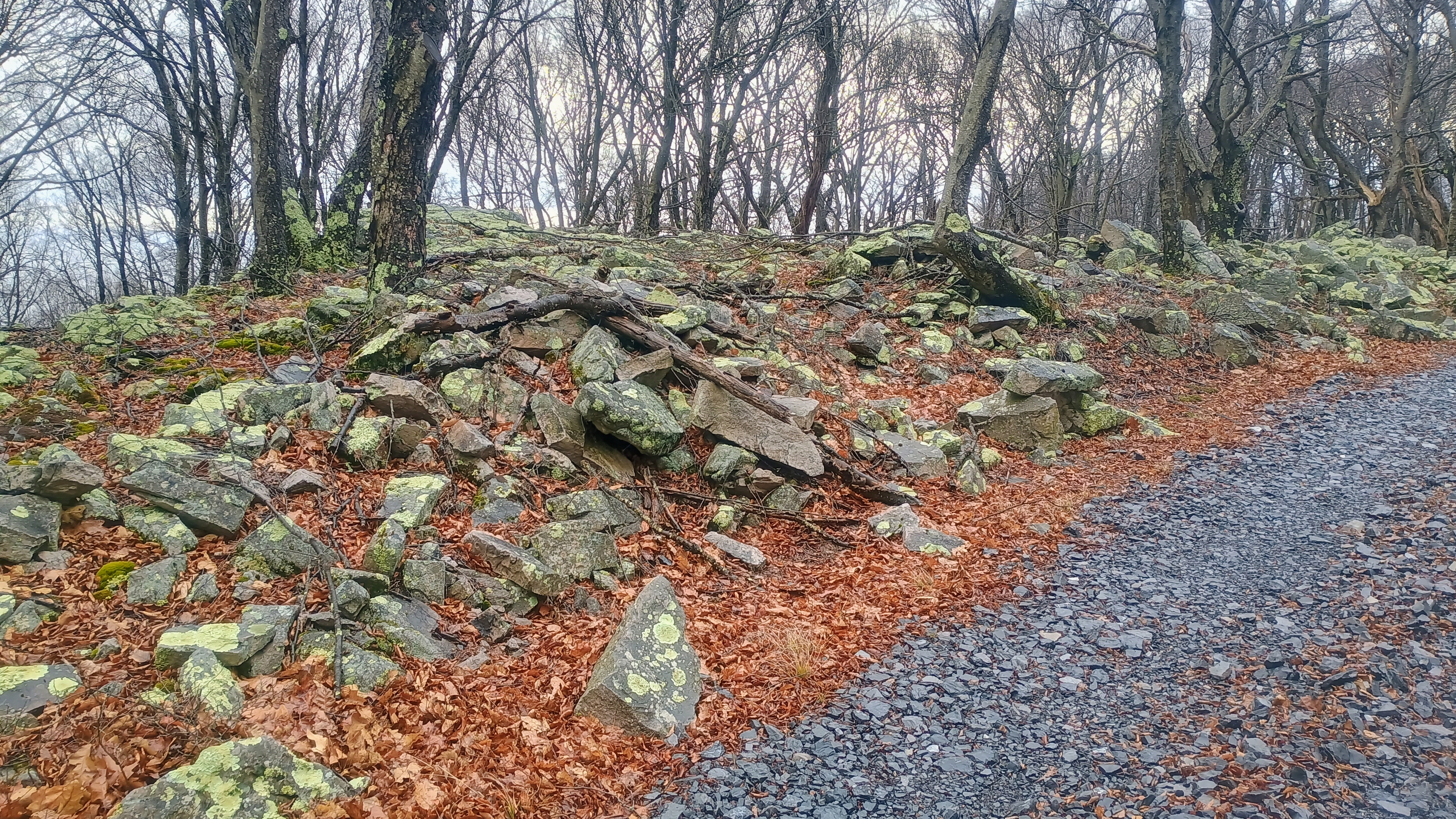
I passed by the Mid-State Trail which briefly follows this gravel road before diverting away shortly after the start of this hike. The last time I was here was my first encounter with this trail. Now I’ve hiked several sections of it on several SOTA outings, and know how rough/rocky it can get! This might be the smoothest section of the MST that I’ve been on so far. This section also happens to be the high point of the MST.
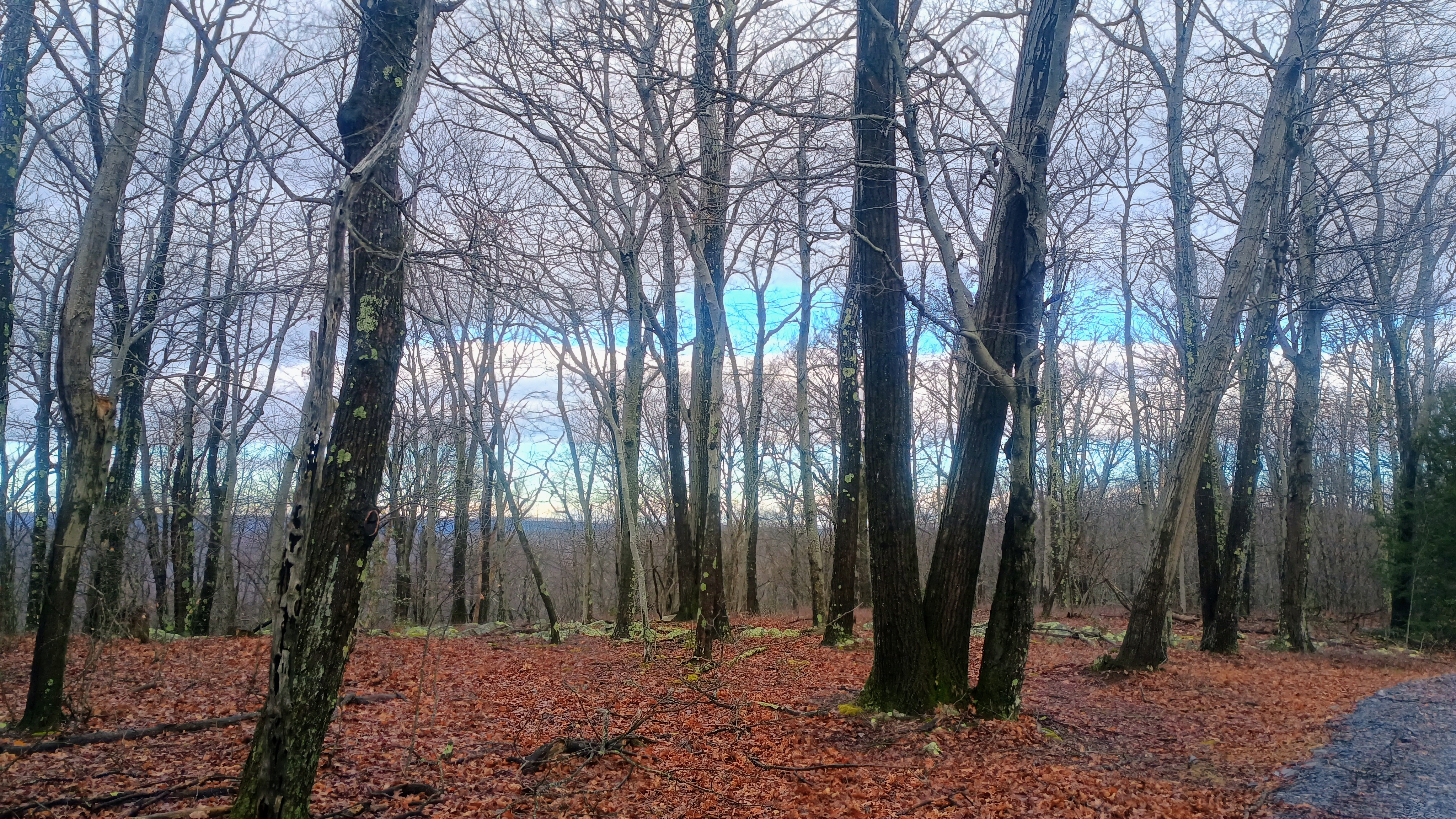
It was a windy day, and I could hear the trees creaking under the strain of the persistent gusts. Some light hail briefly appeared too. I pulled over at a parking area inside the AZ and set up my antenna, maybe a half mile before the actual summit. As I was getting started, Dan KC3TVC was driving by in his truck, on his way to activate as well! He said he normally does the hike, but the road is just so good, so he drove this time. We chatted a bit more, and then he drove along to the other side of the AZ for his activation.
I only operated on 40m for this activation. I kept it to 20 minutes on that band to work the locals, then move on to the next hikes of the day. The wind had died down a bit, and some blue was visible in the sky on the hike back. It would not last too long, as a winter storm was forecast to come in this afternoon.
Trailhead: At the end of Tower Road, by the radio tower, where Evitts Mountain Road begins: 39.79122, -78.43923. If the gate is open, you can just drive up to one of a few parking areas in the activation zone. I operated at 39.84894, -78.55262.
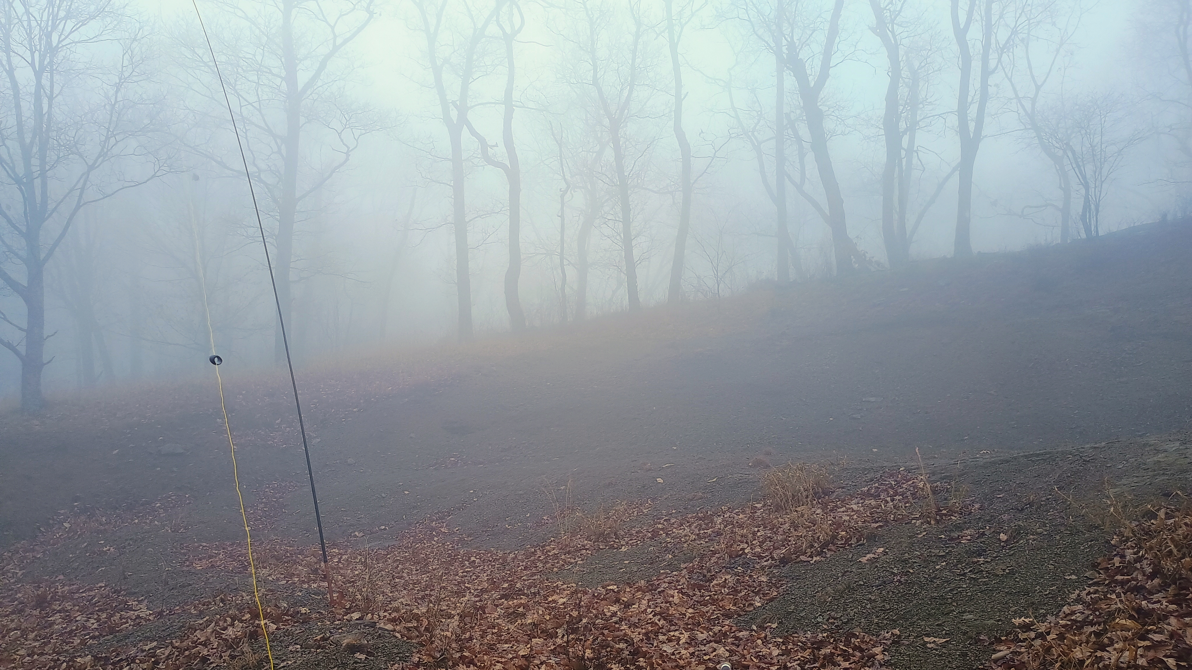
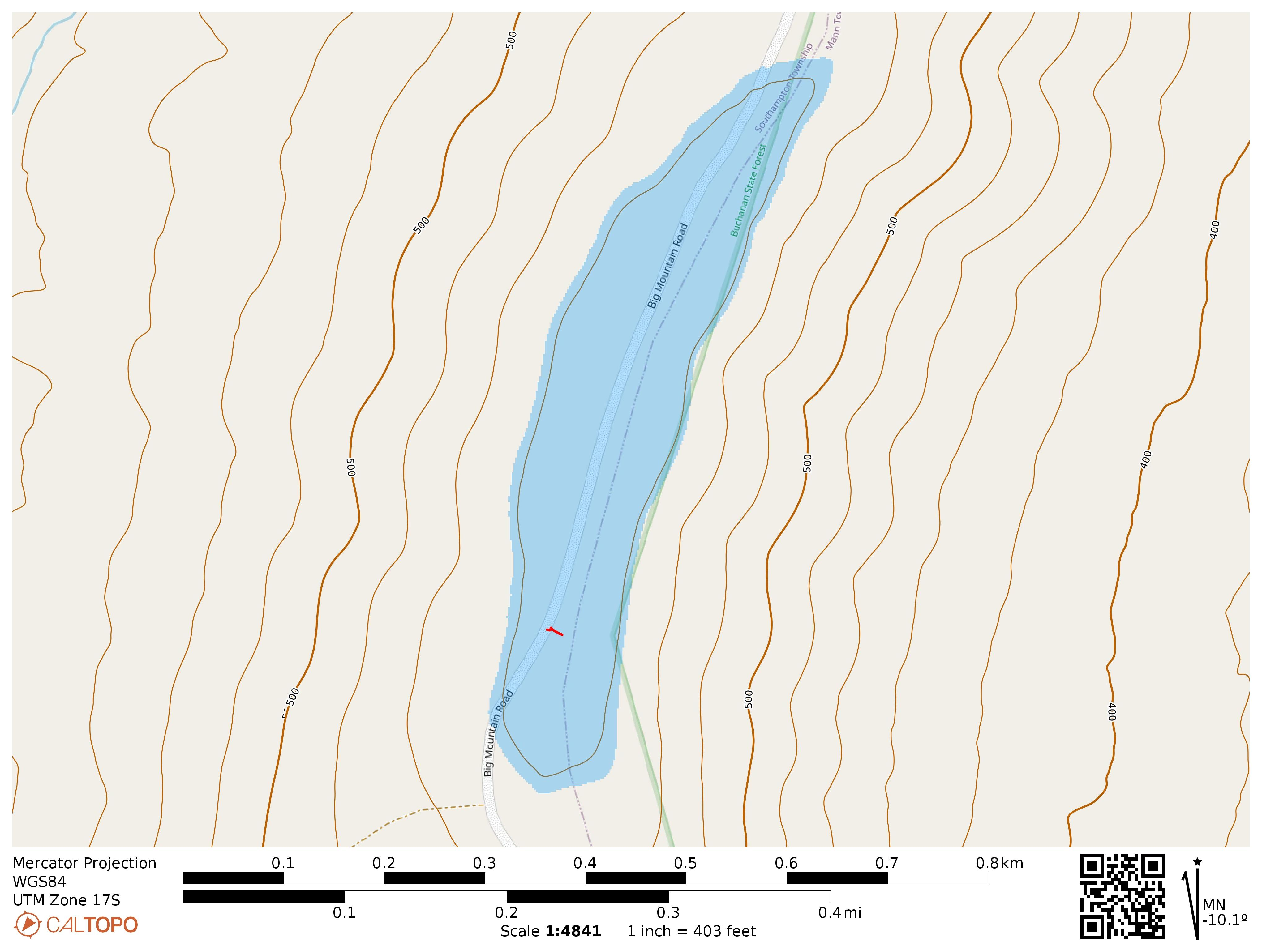
To round off my foggy day of winter activations, I drove to Buchanan State Forest. This peak had only been activated by Jody K3JZD, so it was time to give it love from another activator. This is an easy drive-on with two options for parking points off the side of the road. There is rocky soil that was easy to get a ground stake into to hold up my mast. There are also many trees.
At this point in the afternoon, the fog had let up a bit. Nobody drove by the entire time I was on the summit. I stuck around for a while, walking along the bands: 40m, 60m, 30m, 17m, 15m, and 12m for just over an hour.
This time, 17m was the S2S band, to catch a few west coast activator duos: W6TED and N1CLC on W6/SC-460 WU7H and WW7DF on W7W/SK-163
On 12m, I got N6AN on his home peak of W6/CT-225, as well.
Trailhead: Two parking areas within the activation zone: 39.79122, -78.43923 and 39.79464, -78.43801 . I parked at the former.
Continuing on from the previous drive-on peak W3/SV-019 Bark Benchmark, I moved on to Town Hill in SGL 49, which had only been activated once time, earlier in 2025 by Dave K2CZH. For once, this is a PA summit that Tim W3QP has not yet gotten to (though he activated it in Jan 2026, not long after this trip!).
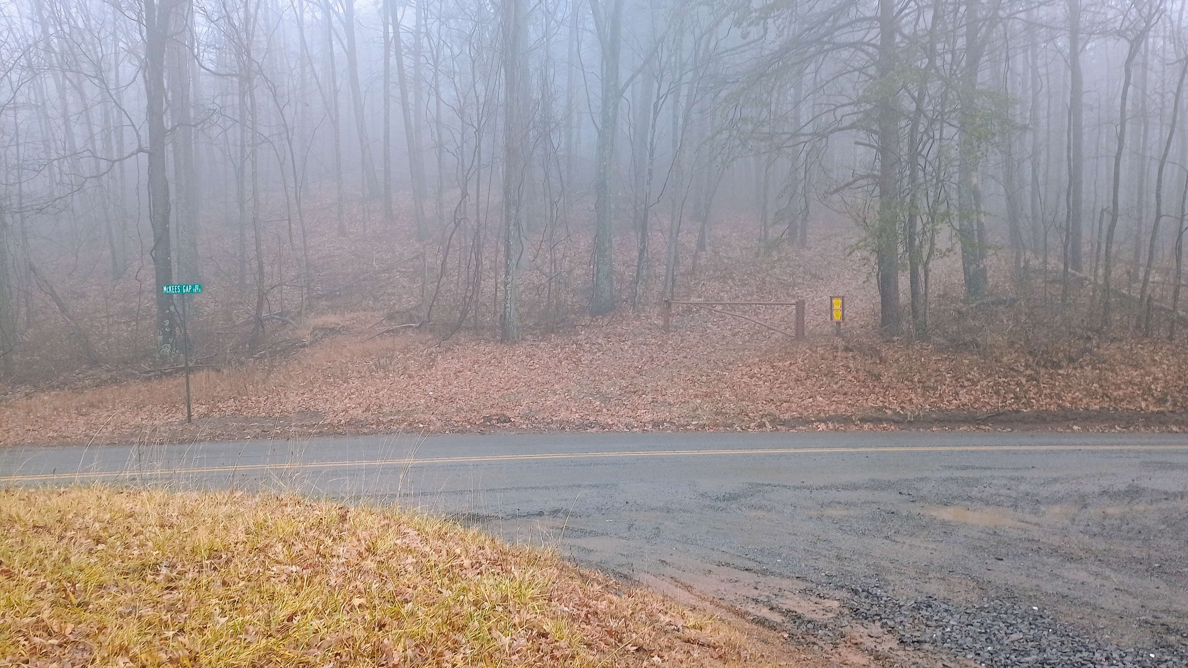
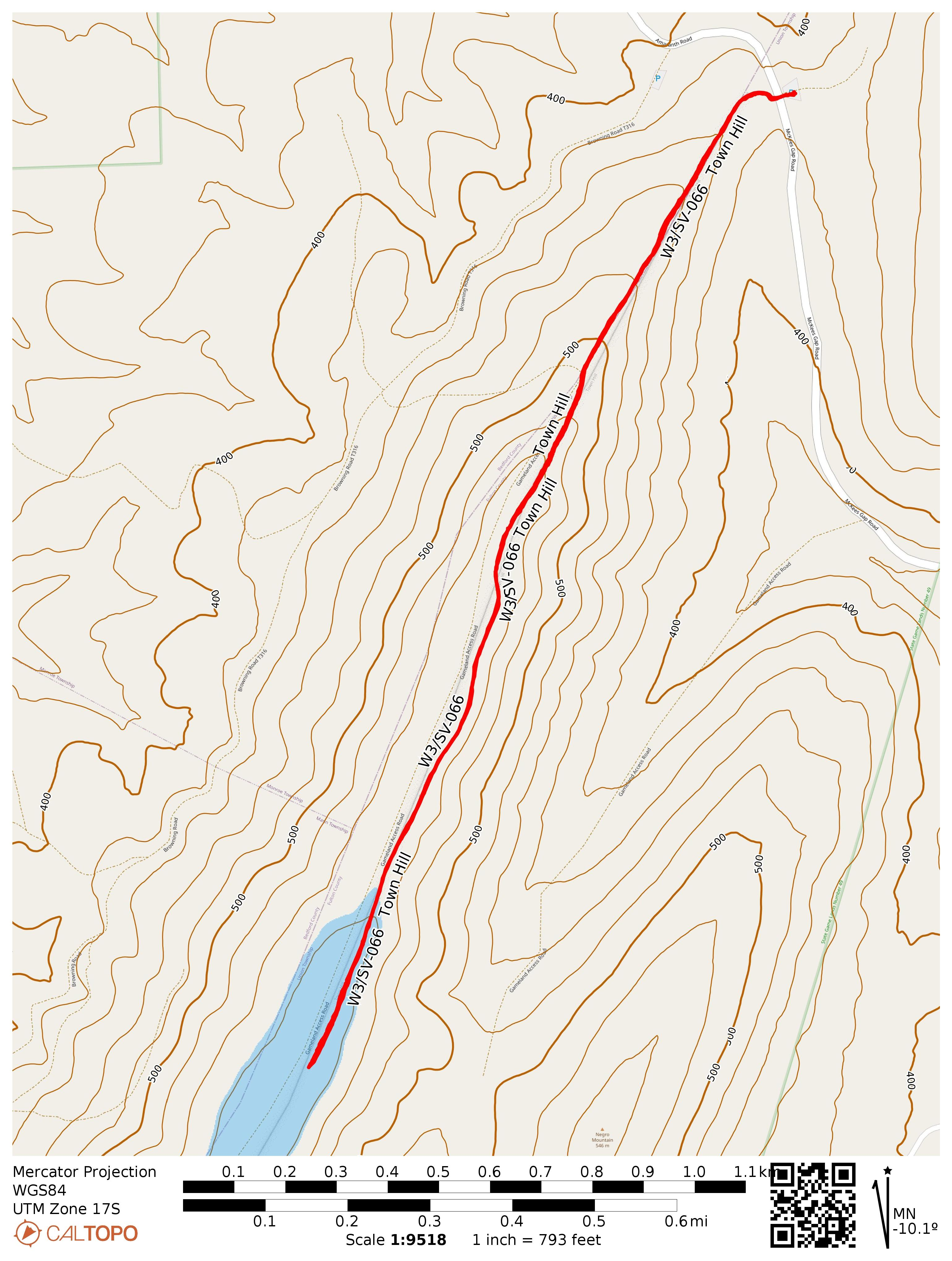
I parked on the side of McKees Gap Road and hiked the 1.4 mile climb into the activation zone along a gated gameland access road.
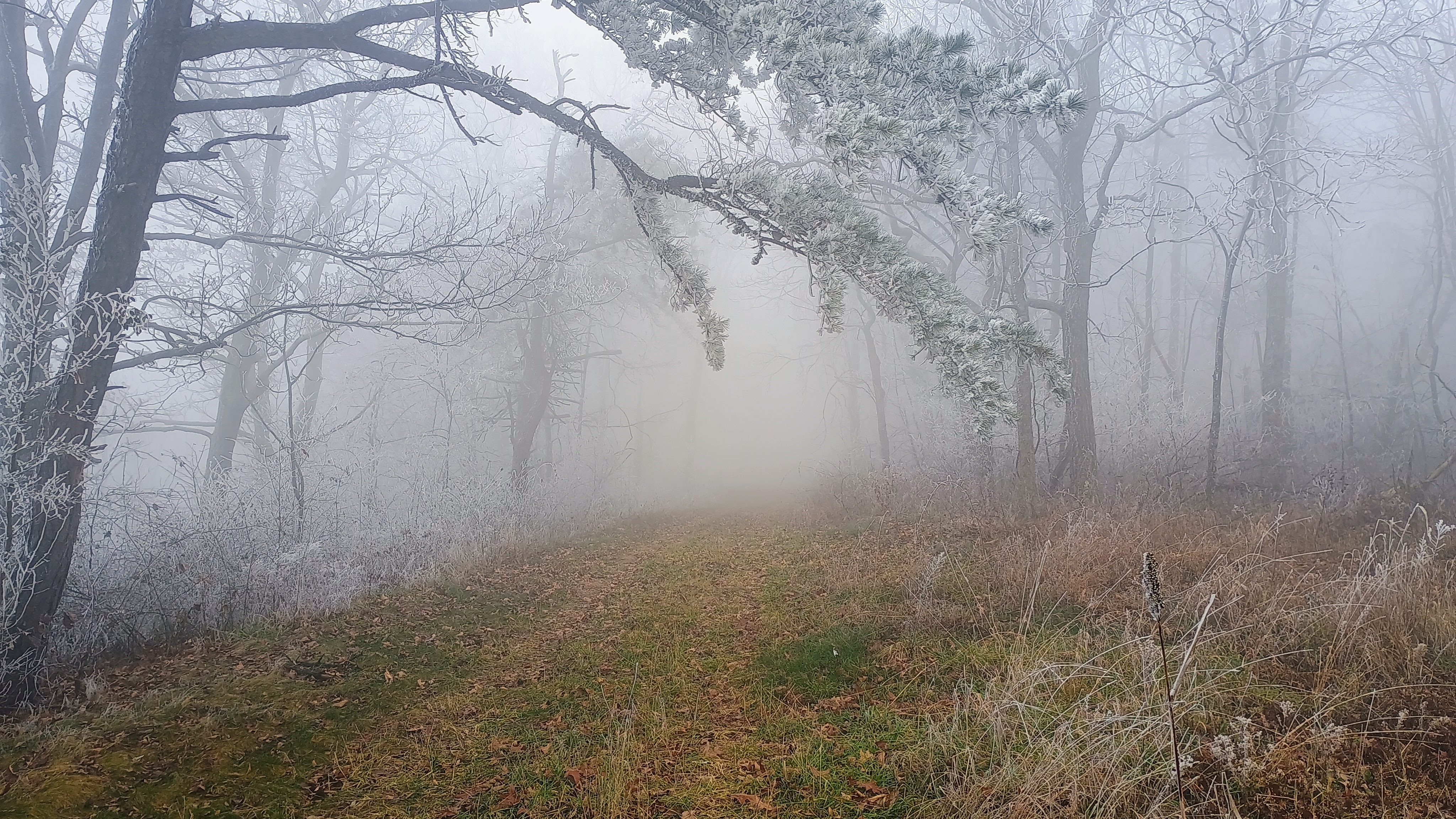
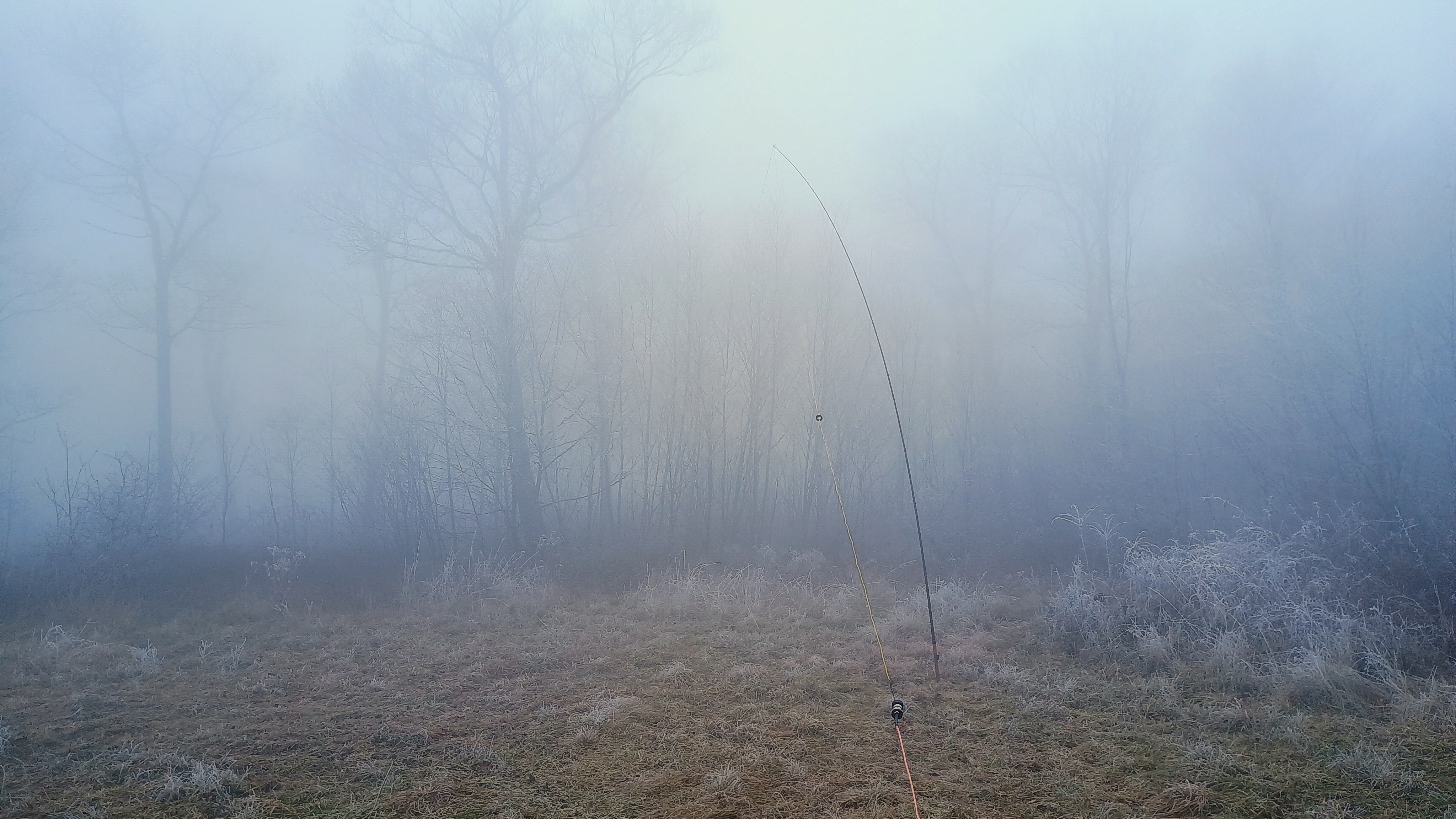
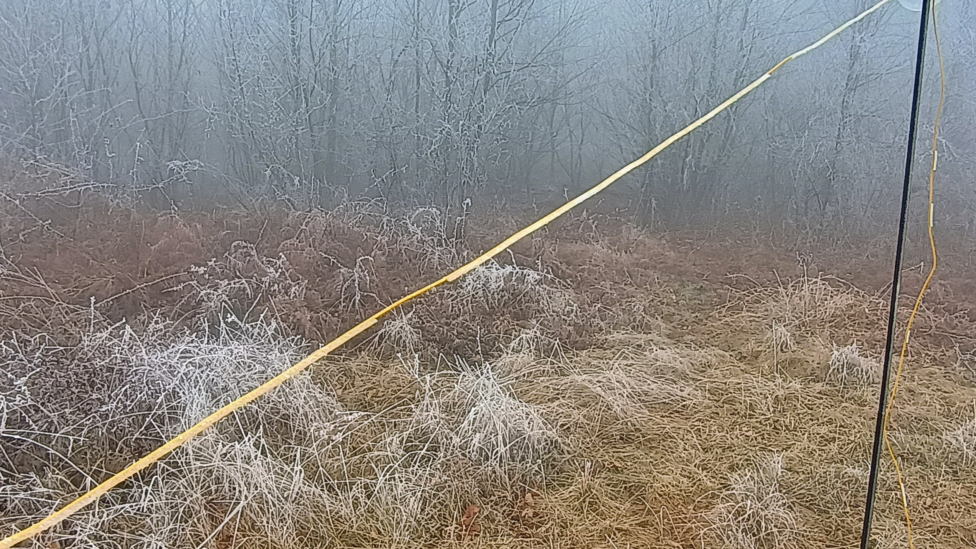
Freezing fog was still present and the trees were covered in rime ice.
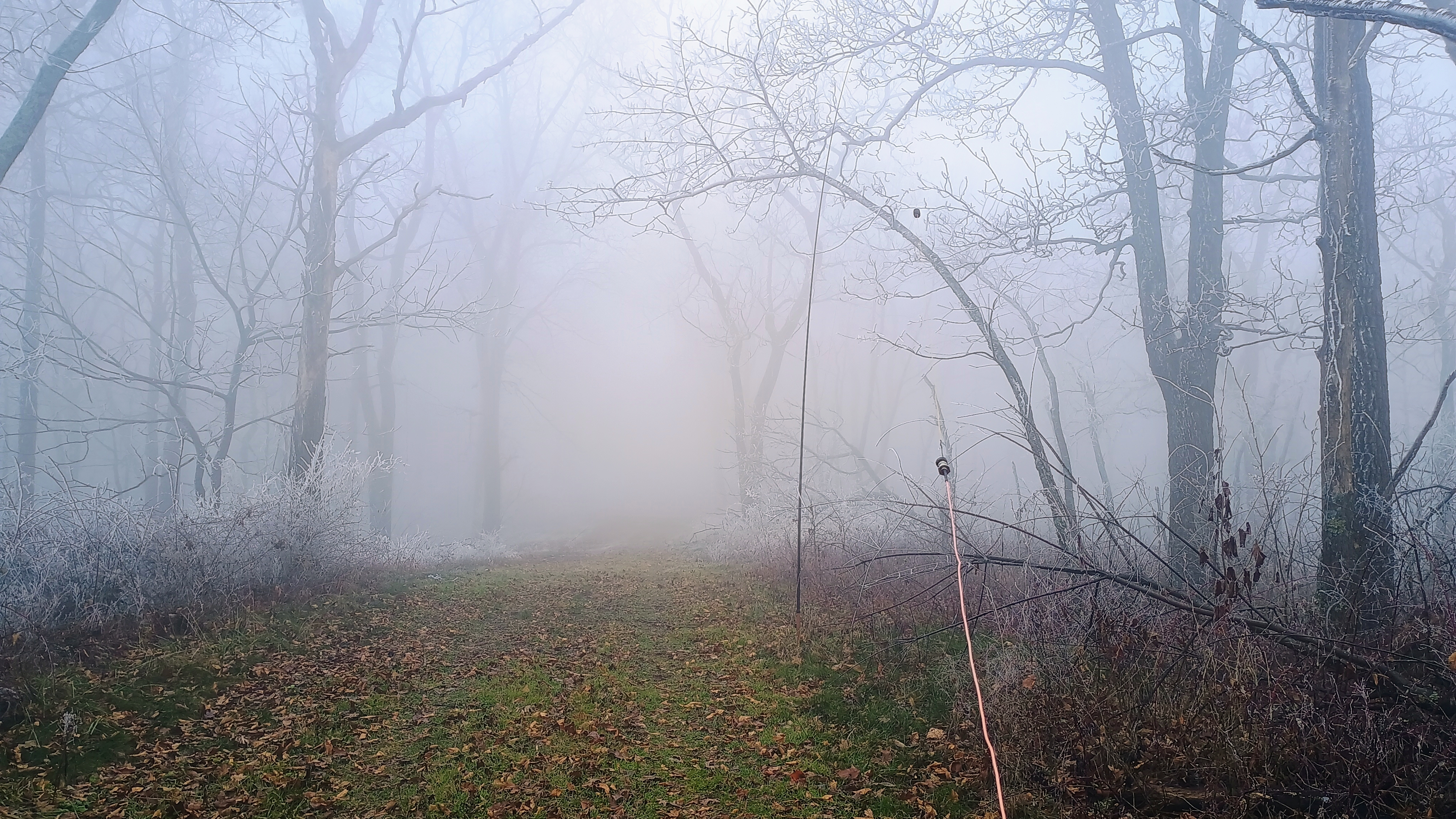
I set up my wire along the wide gravel trail and chased a bit of S2S before working a brief 40m pileup.
My S2S QSOs (many in the NH mountains!): KC1MXB on W1/HA-021, a second S2S with JB today! N1CMD on W1/HA-010 W1CMC on W1/HA-018 WB2LJK/P on W2/GC-090
The next and last stop of the day was to be W3/SV-065 Big Mountain in Buchanan State Forest.
POTA: US-8748 PA 049 State Game Land
Trailhead: 39.80249, -78.31459 : SGL 49 parking area off of McKees Gap Road
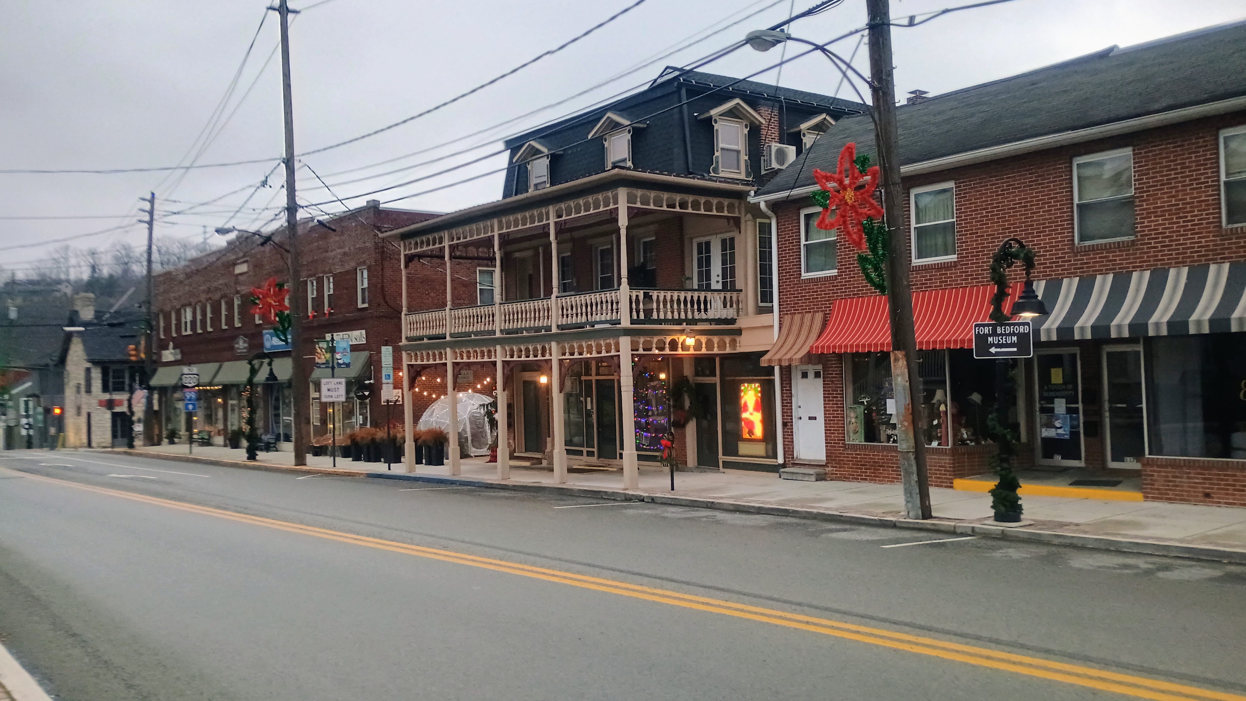
I’m a bit overdue writing up this trip, but it’s probably still better late than never! In late-December I took a trip to Bedford, PA for SOTA. The idea was to pass Bedford on I-76, then take I-70 south and do most of the summits along the way, stopping in Bedford, then working my way back home to Pittsburgh the following day.
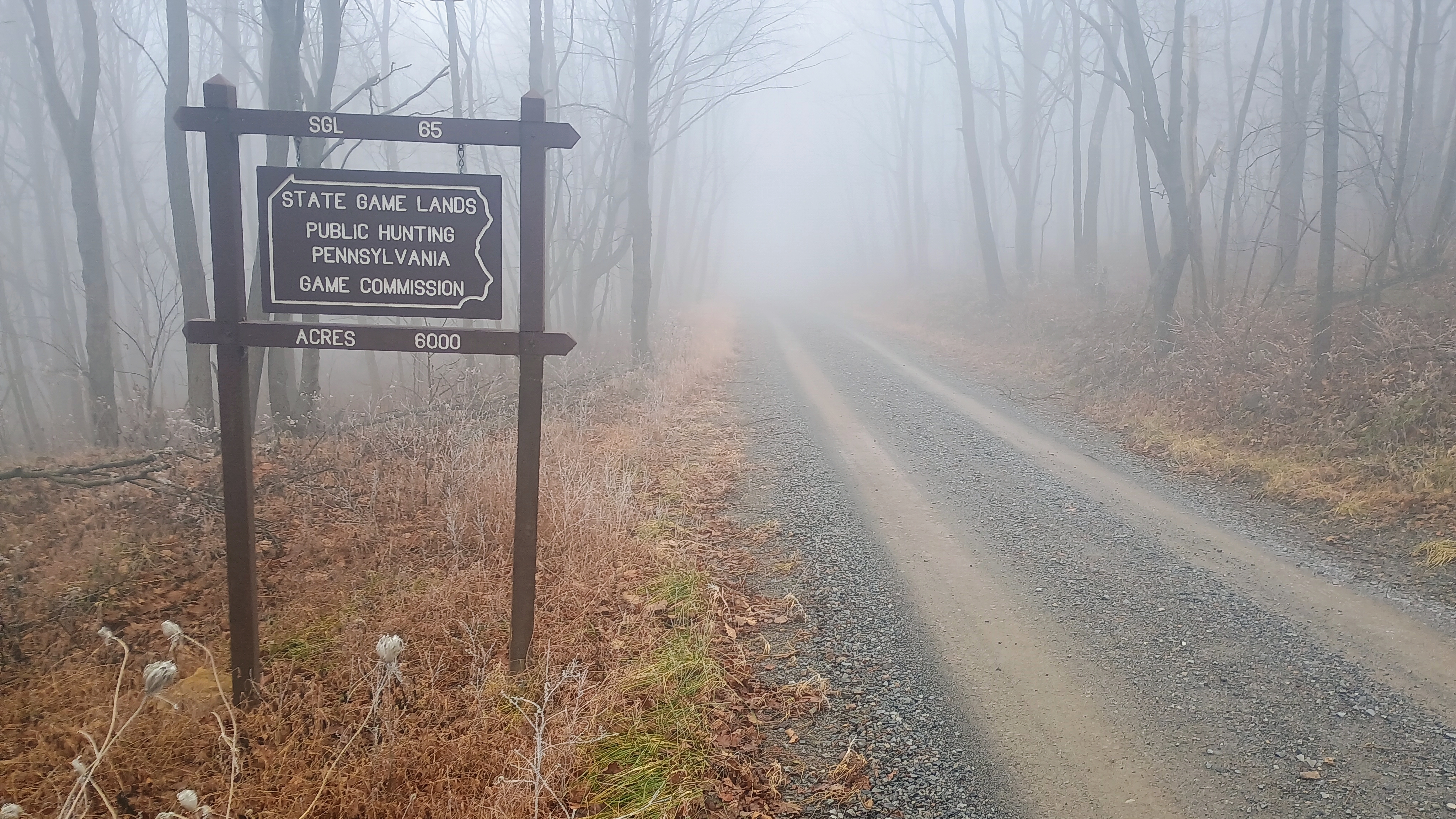
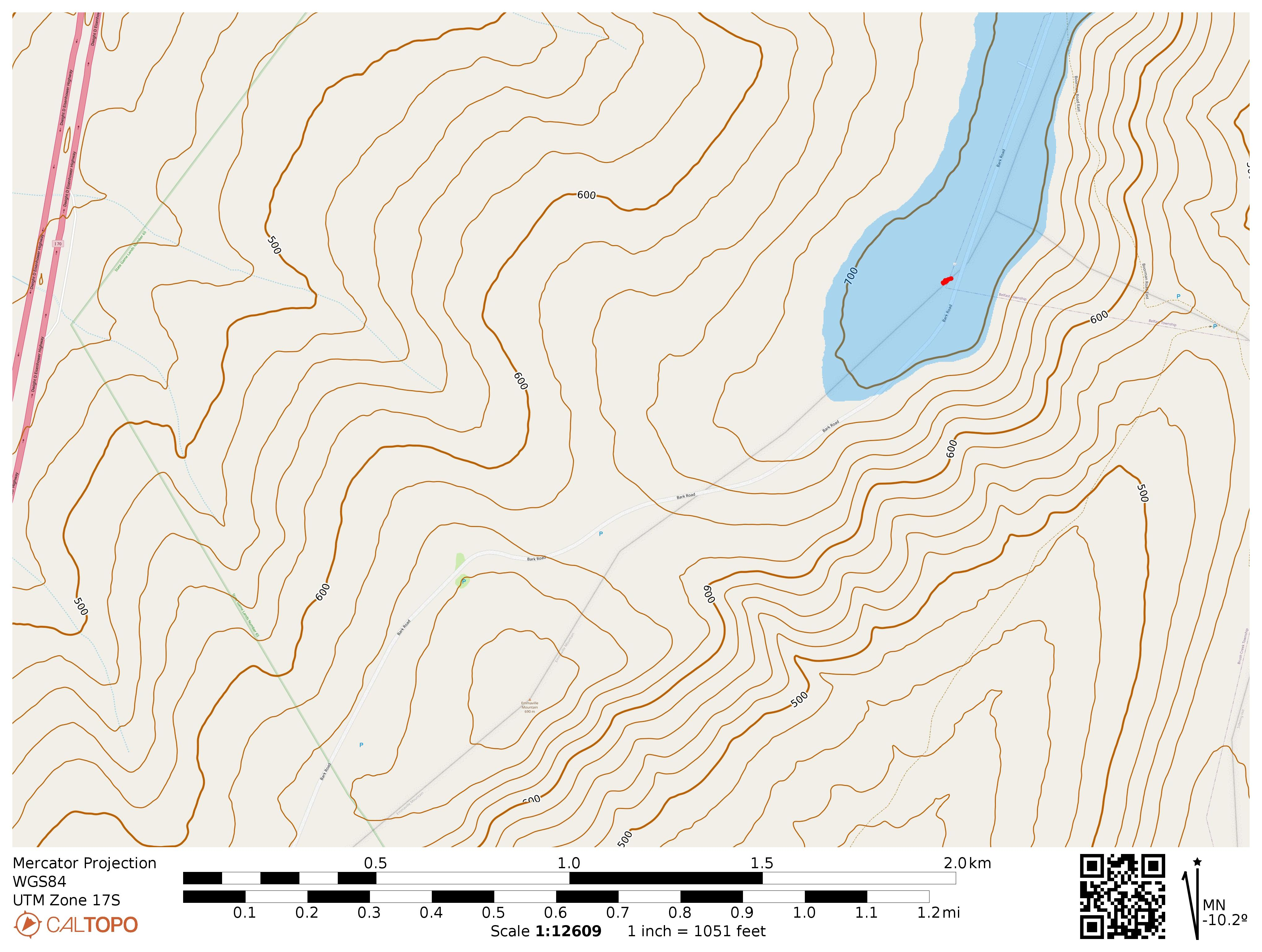
The first stop was Bark Benchmark, a drive-up in SGL 65. At first, Google maps navigated me south along Boorman Rd, but this road is in poor condition, and there was a PA Game Commission sign that said the road was closed (no gate) with 1.5 mi more to go, so I turned around.
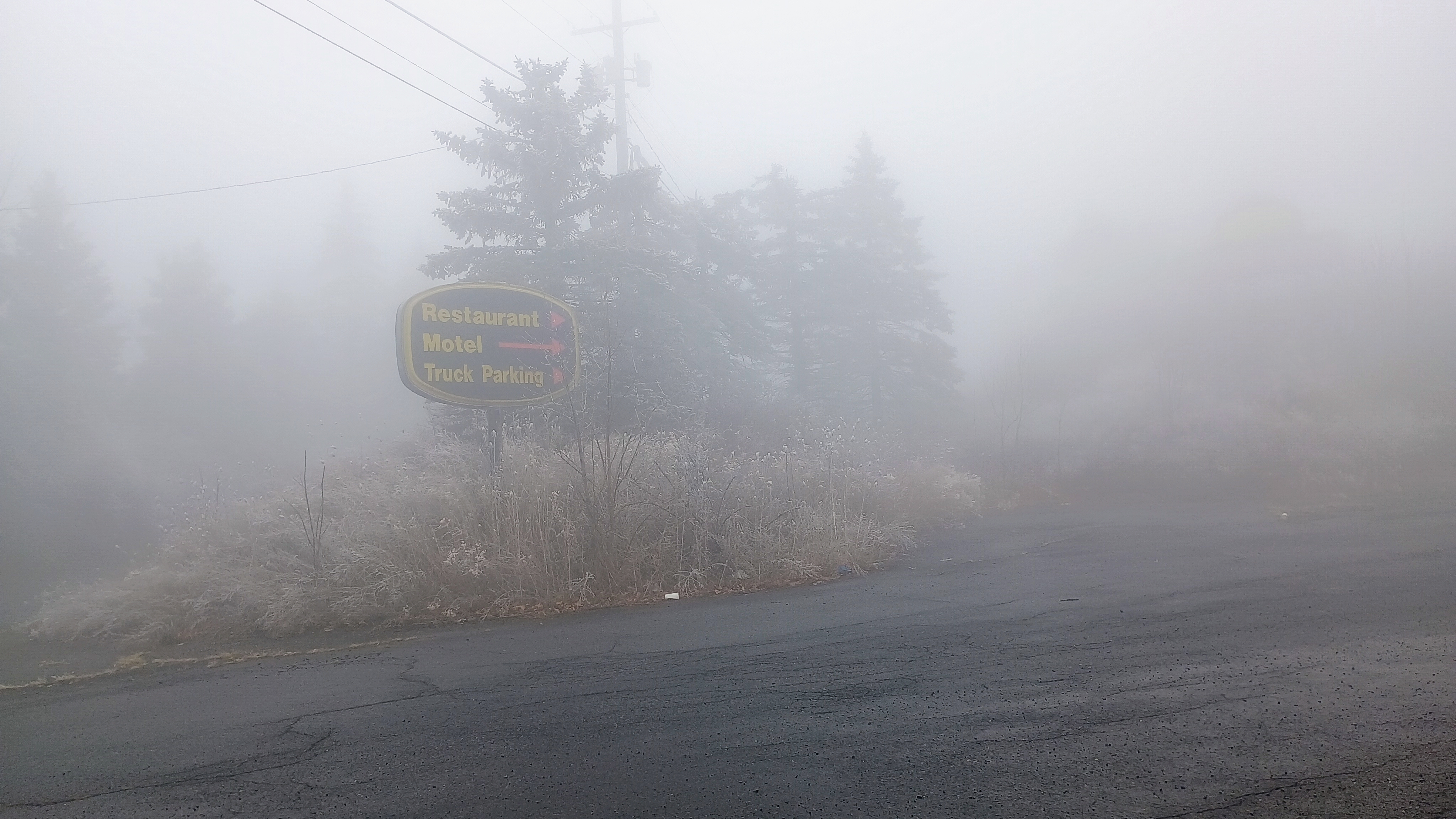
The way to approach is from the south, along Bark Rd. There is an exit to access the road from I-70 S, and you’ll pass a shut-down Days Inn hotel and a large parking lot. There was a thick fog looming over everything. Bark Rd is well-maintained through SGL 65, so I had no trouble getting up to the activation zone.
There was plenty of space to set up with a parking area right by the summit point. This was my first encounter with freezing fog. A few mm of ice crystals had formed around my antenna wire when I was finished due to the fog!
Since this was the first of 3 summits for the day, I just operated for about 30 minutes, but managed to get a couple of S2S on 40m: KC1MXB on W1/HA-021, inching ever closer to his mountain goat on 100% uniques! KR4CEL on W8V/PH-098, Snyder Knob in WV
I also logged some FB DX on 15m CW: F4WBN, M1GEO, IK4IDF, SM5LNE, HB9BQB, IU1KGS.
The next stop was W3/SV-066 Town Hill, which had only been activated one time by Dave K2CZH in Feb 2025, one of the more prolific W3 activators.
Trailhead: 39.90505, -78.21074 : SGL 65 parking area just south of the high point
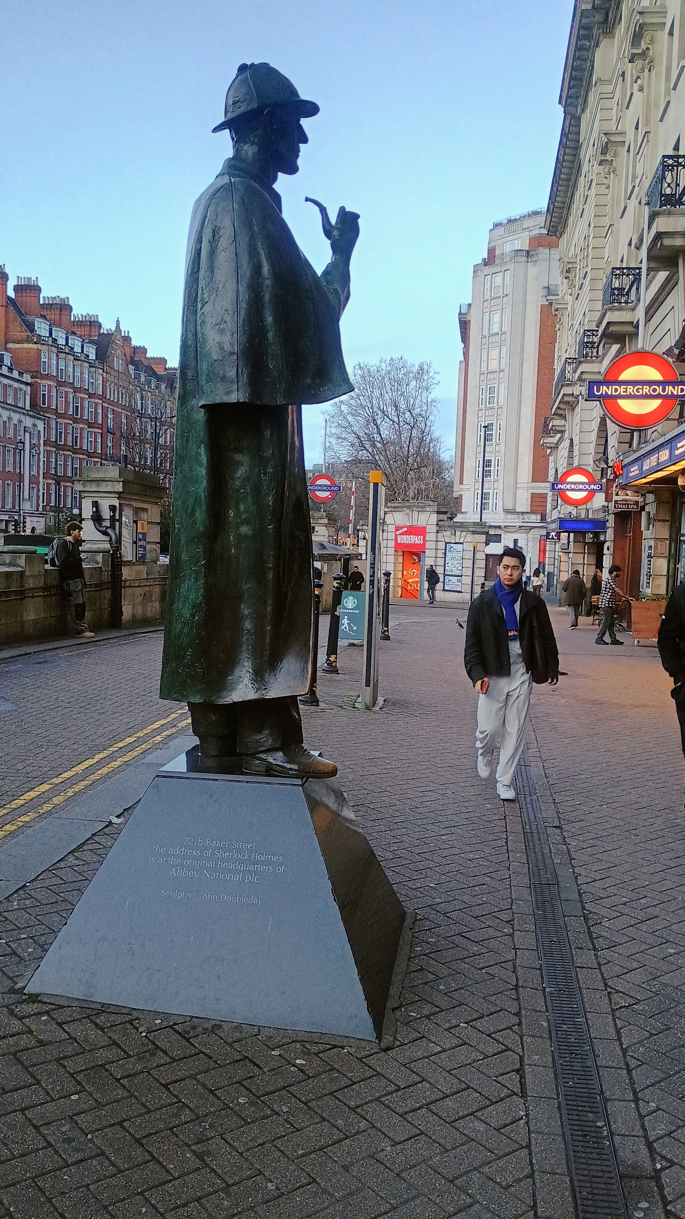
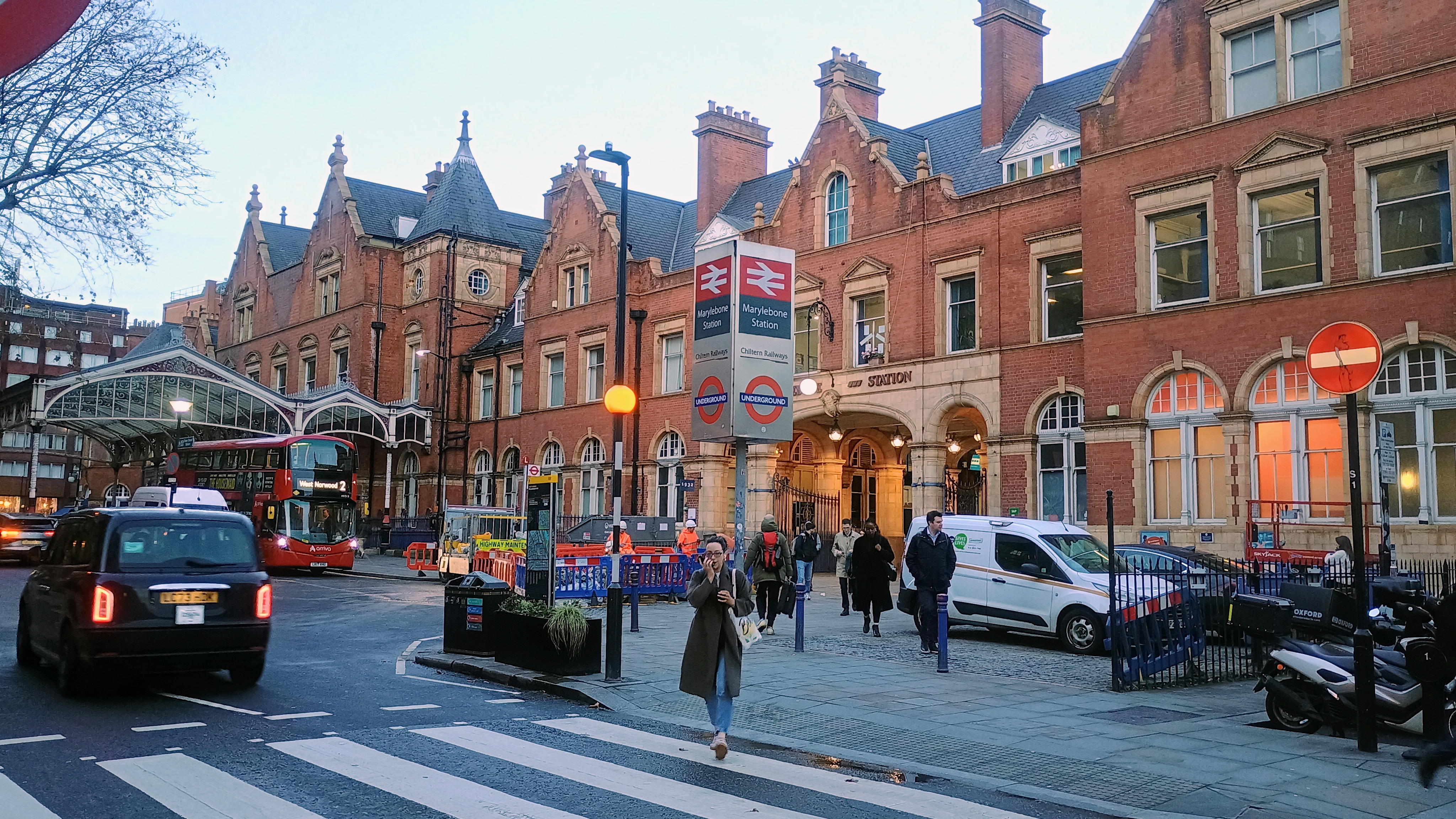
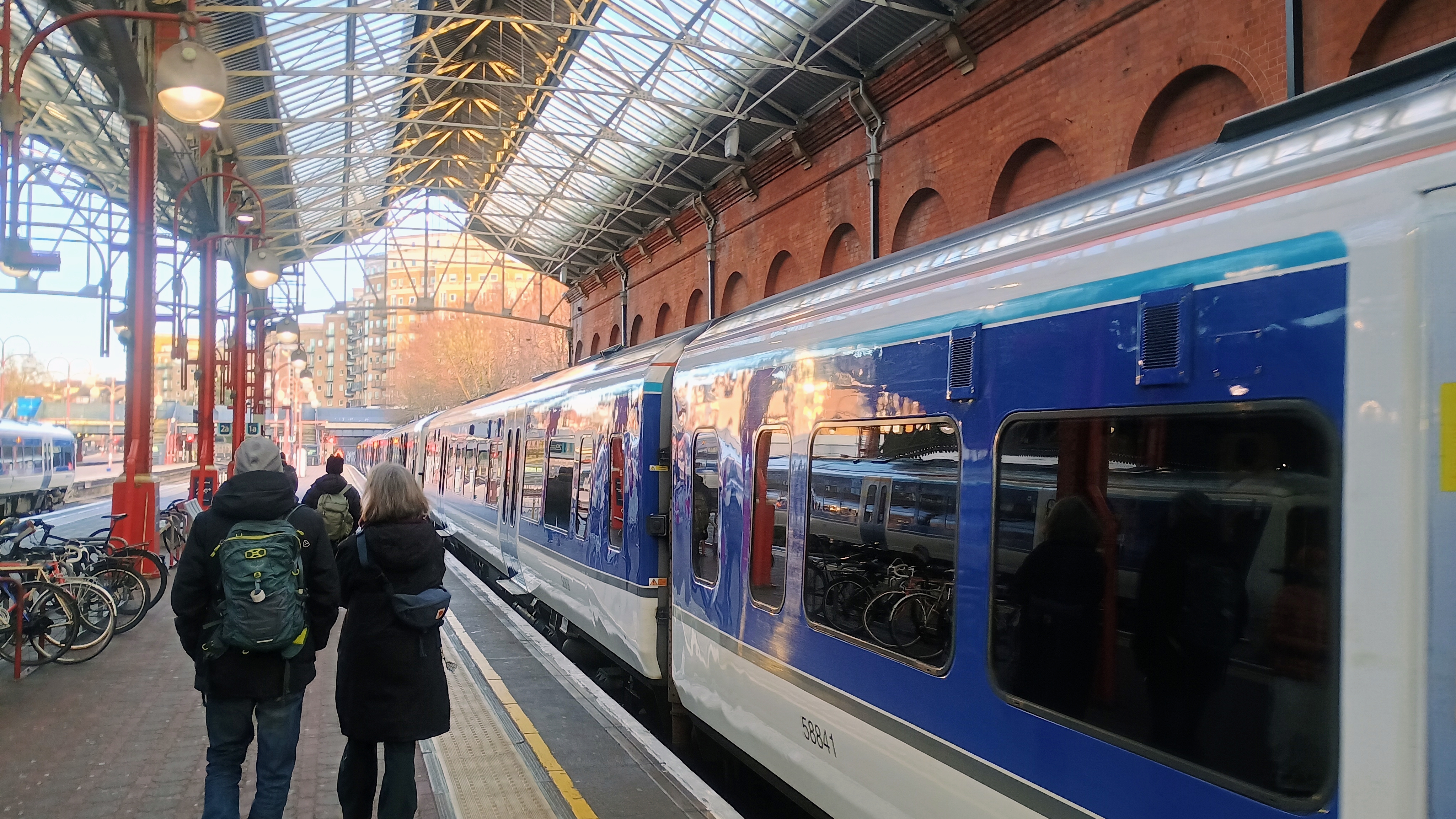
On a recent trip to London before the holidays, I set aside the sunniest forecast day to get away for a SOTA activation. I chose to go to Wendover Woods, as N8PEM reported it as a combined SOTA/POTA that can be reached from London by mass transit and walking. I booked a ticket with Chiltern Railways that operates the train line to Wendover (en route to Aylesbury). I got on at Marylebone, which is a short walk from the Baker Street Underground station, not far from where the literary detective Sherlock Holmes had his residence.
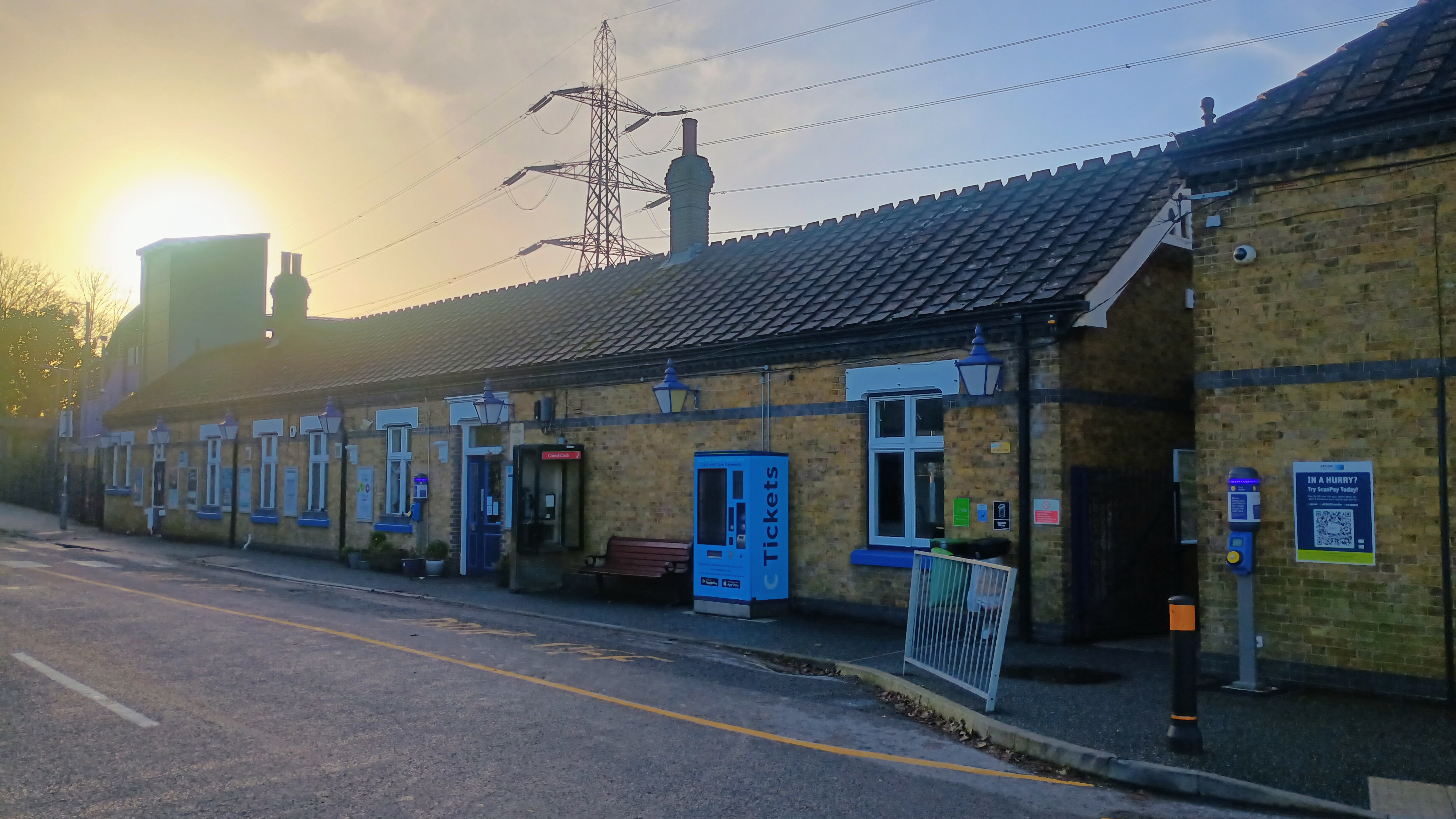
Trains on this line depart every 30 minutes and the ride was about 50 minutes to Wendover. I had booked my ticket in advance, but I could have gotten away with buying the ticket at the station. I was leaving the city just before 09:00 on a Friday morning, so I surely had missed any commuting rush. Only a handful of other riders were in my train car. The village just before Wendover, Great Missenden, was once the home of the writer Roald Dahl, and this looked like it would have been an interesting stop.
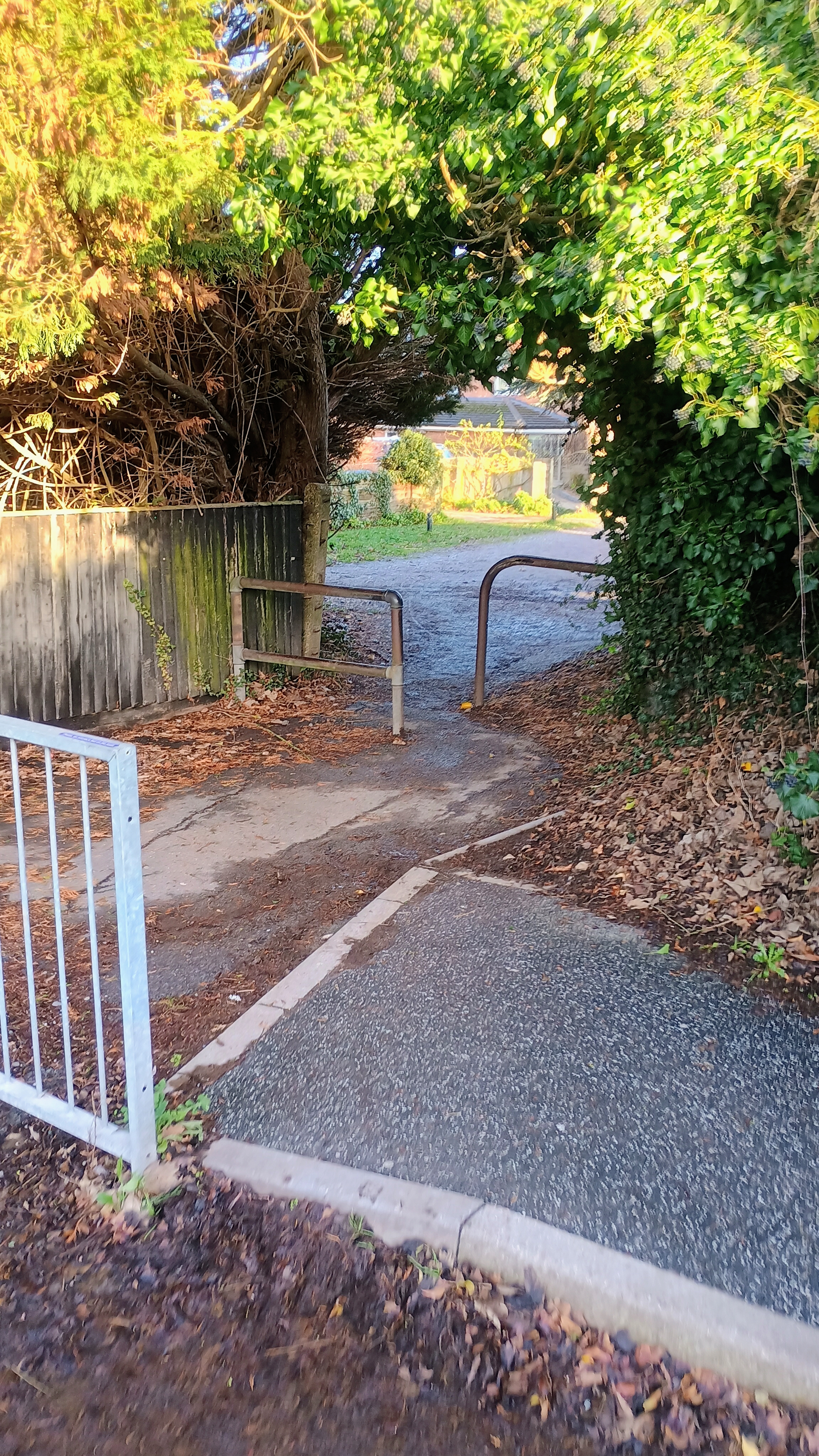
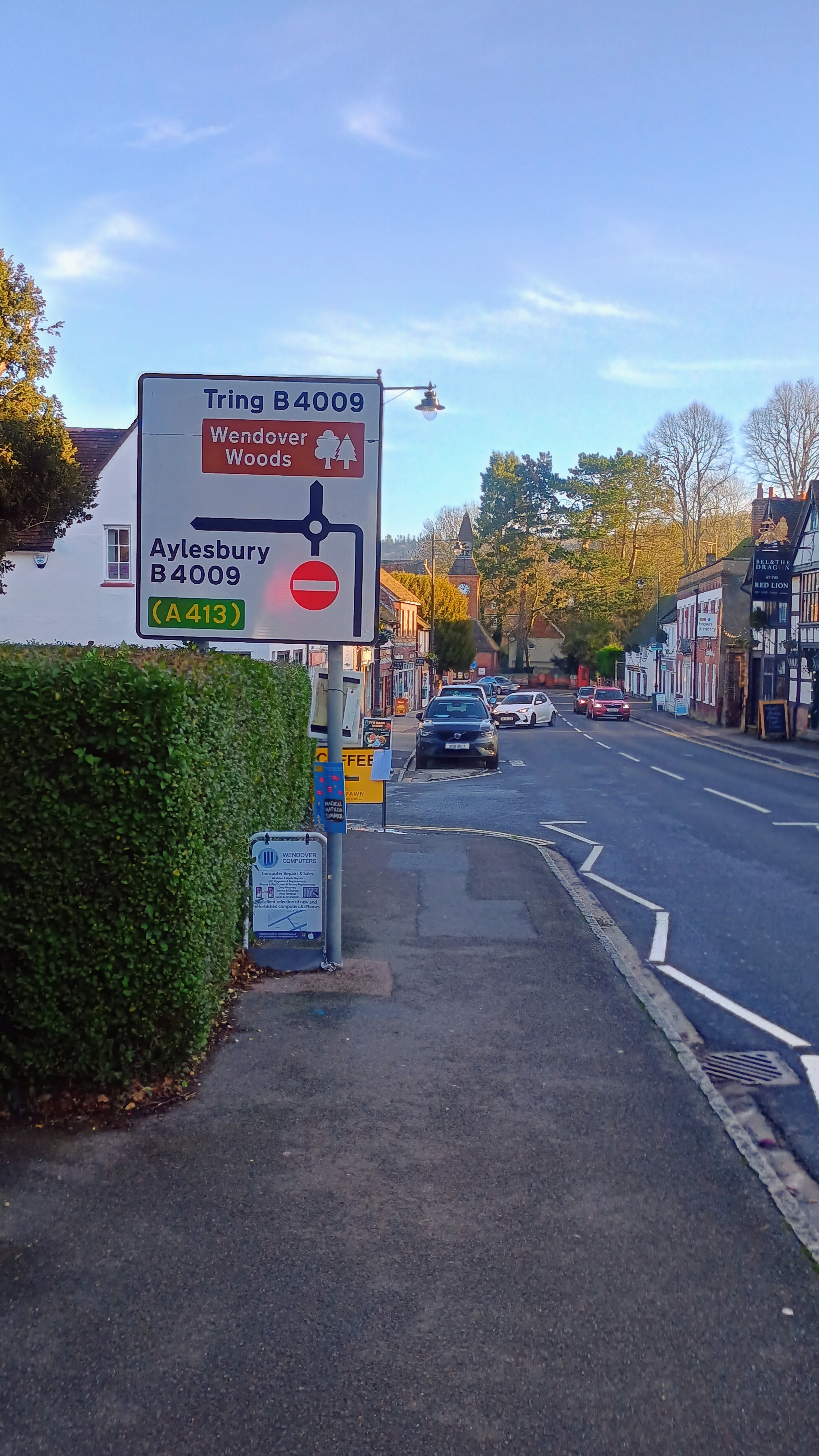
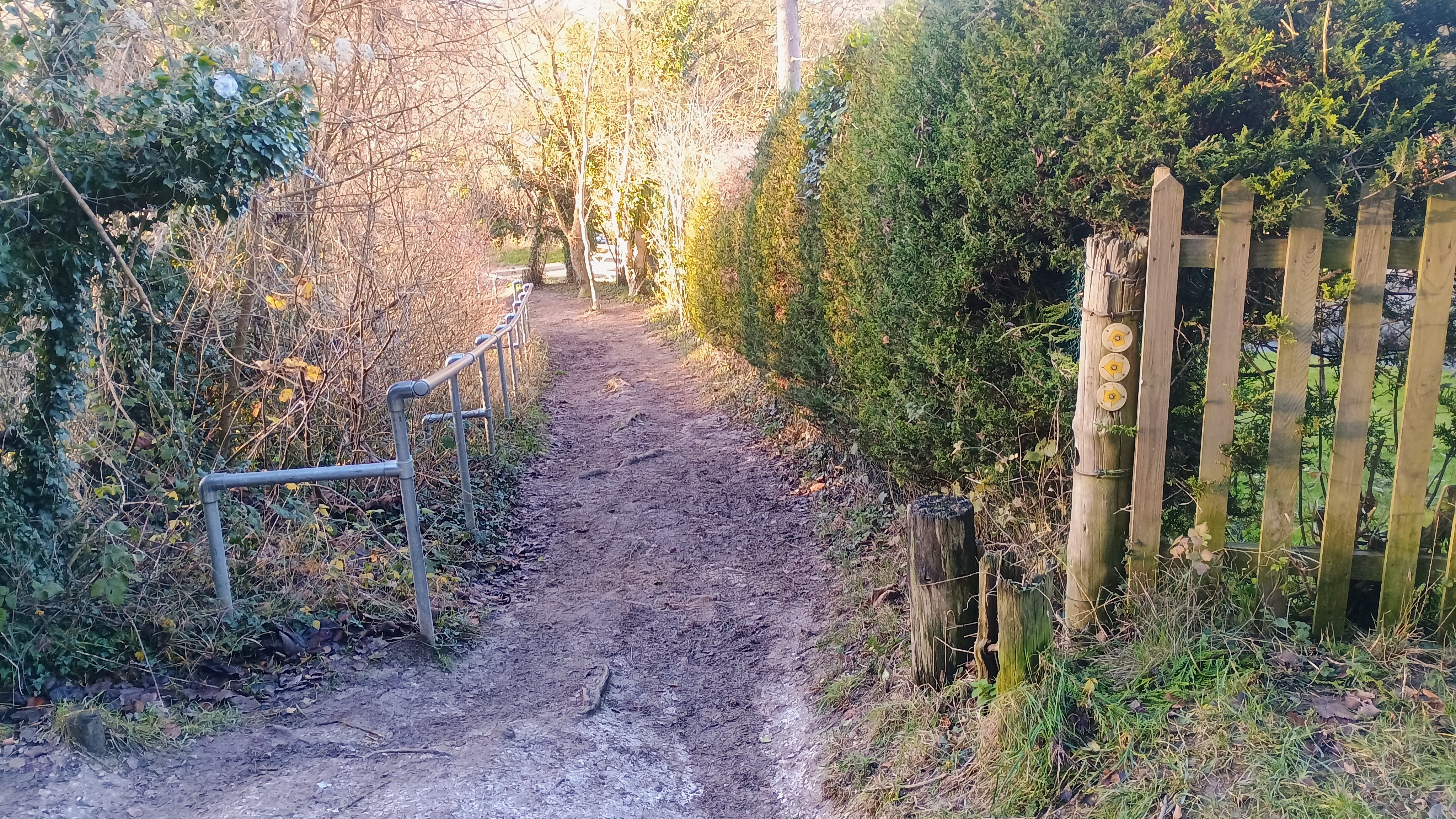
I walked through the town of Wendover along Tring Road, then headed east through a residential area to find Babington Road. Several access trails from this road lead into Wendover Woods. There is a large network of trails here for hiking and biking so there were many ways to go. It was about 2.25 miles altogether from the train station to a pair of vista points off of the one-way road.
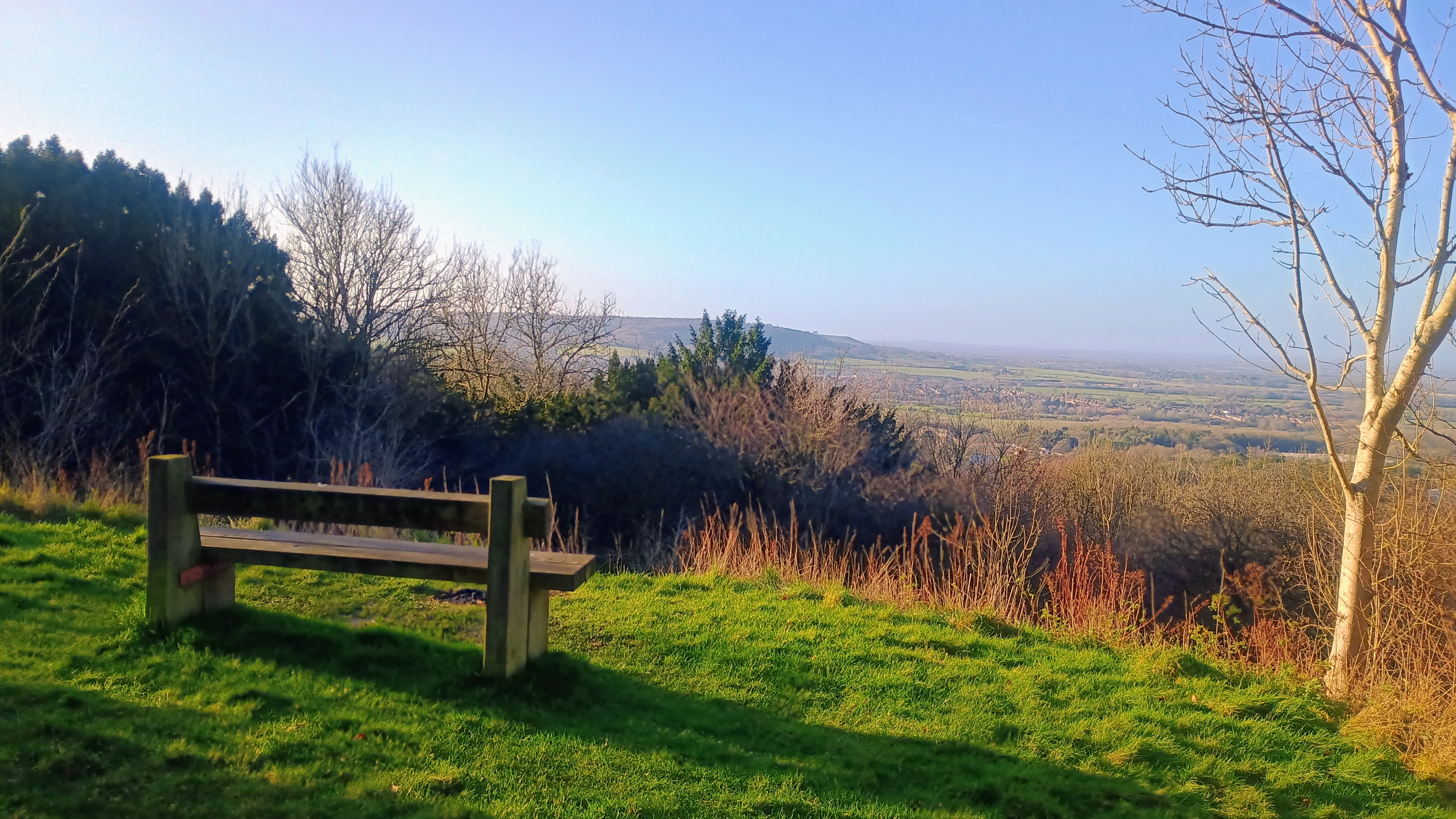
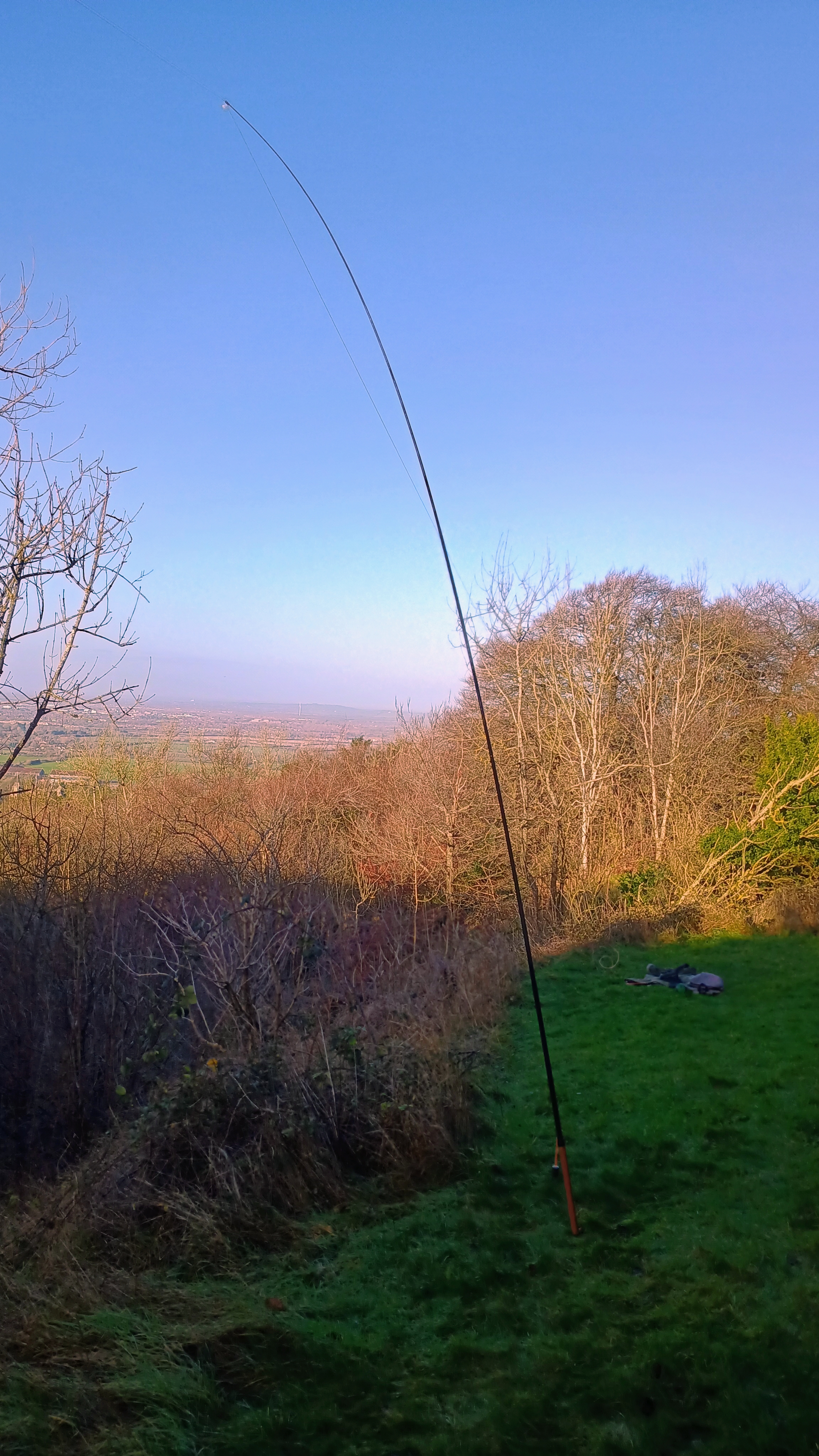
Wendover Woods has a fairly large activation zone, so there are many potential operating points. The nature trails attract many hikers, dog walkers, and families, so I wanted a place I could deploy my 40m wire antenna without being in the way. I had scoped out an operating point at a pair of overlooks just inside the activation zone (around 51.77830, -0.71303). An Ordnance Survey topo map confirmed that this would be the case. The smaller of the vista points has a bench while the other, wider one once had two benches (according to Google Street data) but that no longer seems to be the case. I chose this wider plot and just put down my winter jacket as a blanket as I was rather hot from the hike. It wasn’t too cold today, maybe 8 °C. I set up my mast and settled in for what would be my most prolific QRP SOTA activation to date, with 77 QSOs altogether!
The last time I had operated in Europe was on my trip to the Netherlands last year working Signaal Imbosch, and it had been my first time doing a SOTA activation in about two years. I was rusty, and struggled sending my multi-stroke callsign (PA/AI6CU/P) so many times. I had over 60 activations between that experience and this one, and that made a big difference. I still wasn’t prepared for just how much more active SOTA chasers are in Europe than in the US. There were just as many people calling over each other as I am used to hearing doing POTA on the east coats. It was a good problem to have, and I worked people as efficiently as I could. I got 9 S2S contacts all over Europe. It seems to be the norm over there to send “/P” instead of “S2S” to get the caller’s attention on CW. I even got to work a couple US stations: W4DKS and KG8CO on 20m. It was good fun working 21 DXCC entities during a single activation!
I am so glad that I brought my mic as well! It was wonderful hearing people call in from all over England, speaking with various new (to me) regional accents wishing me well on my travels. A number of folks apologized for the cold weather, but London was a balmy 10 °C every day relative to Pittsburgh, which was -10 °C the day I flew out! I think I’m going to do more SSB on activations where I can, as there is something delightfully human about phone QSOs.
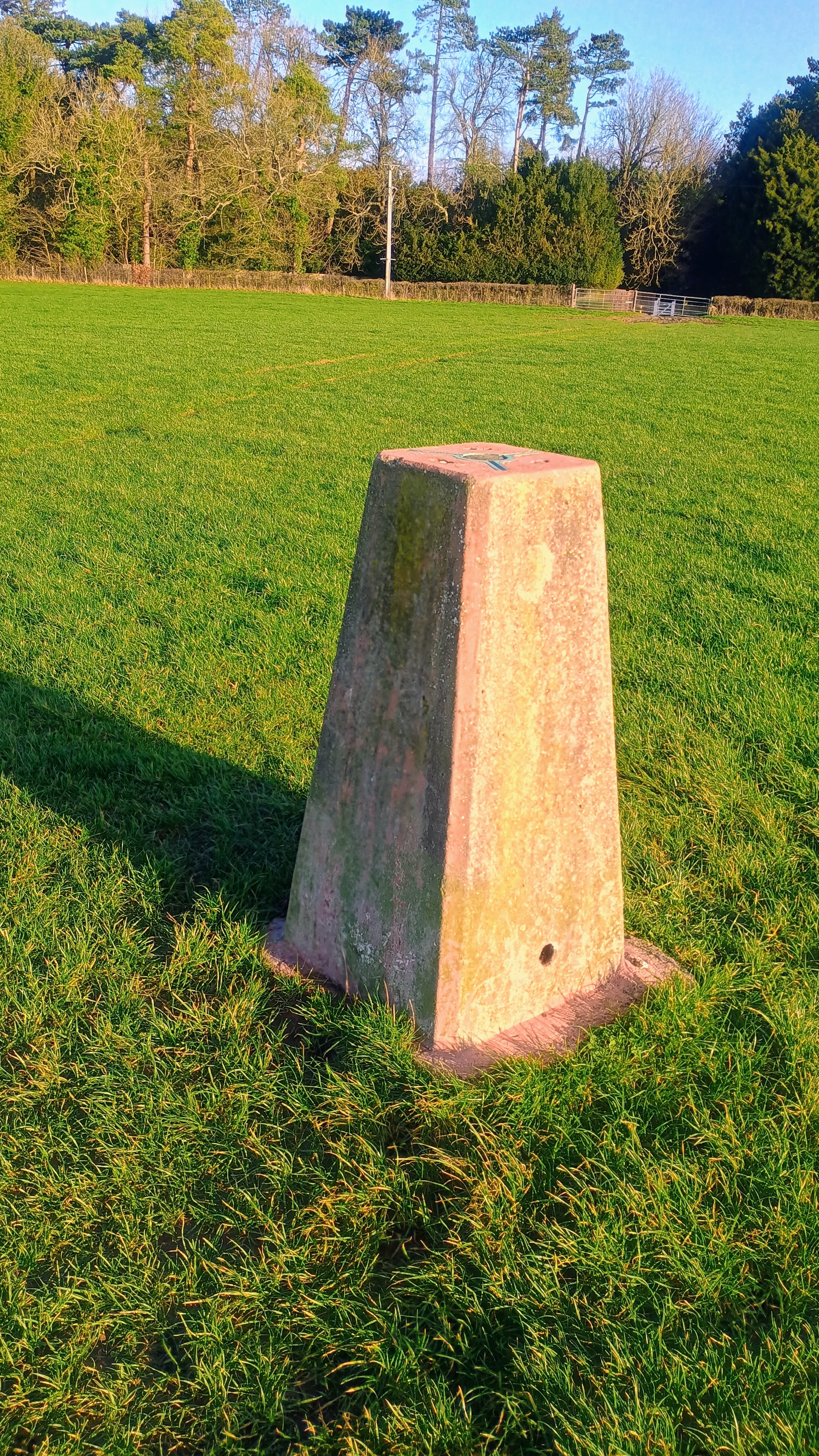
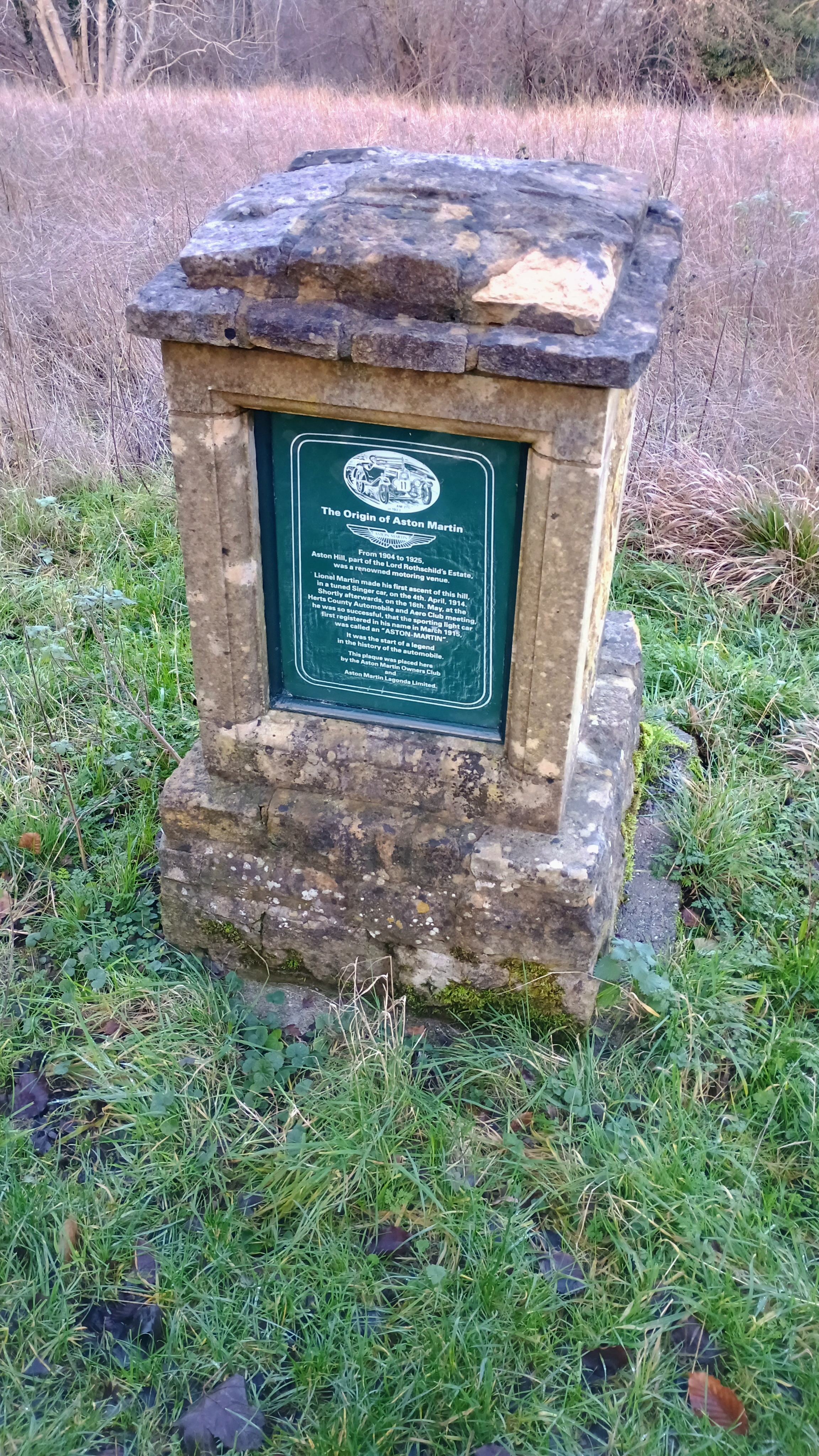
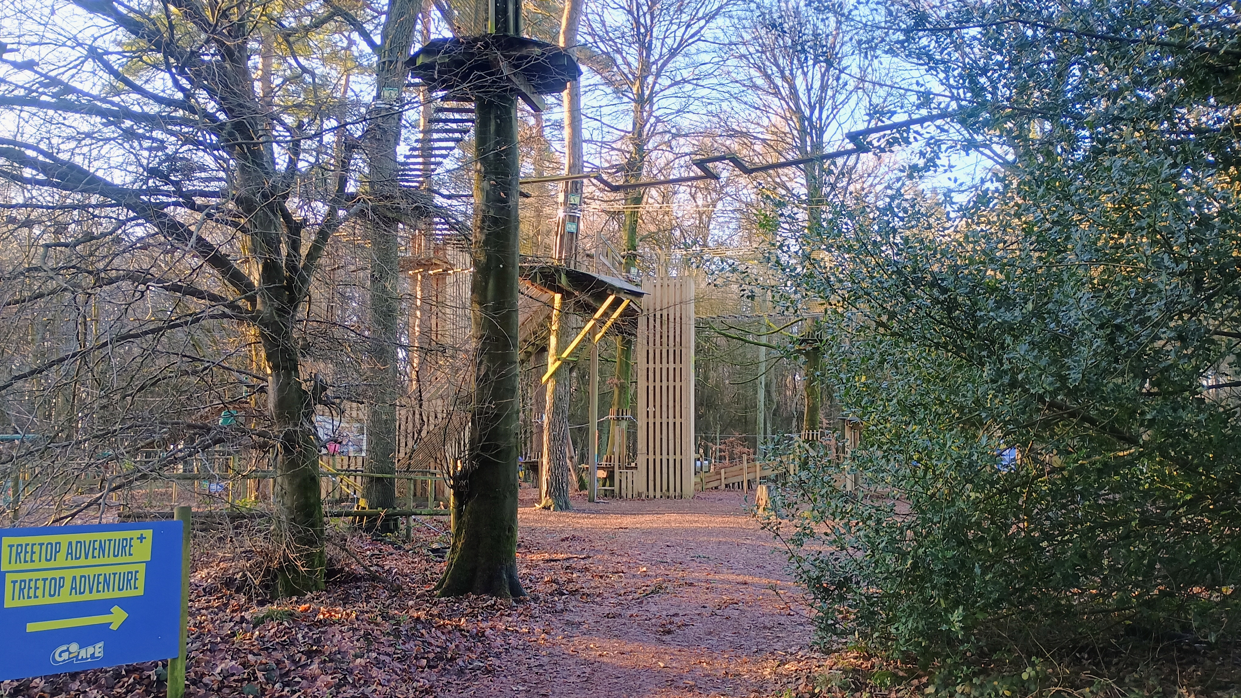
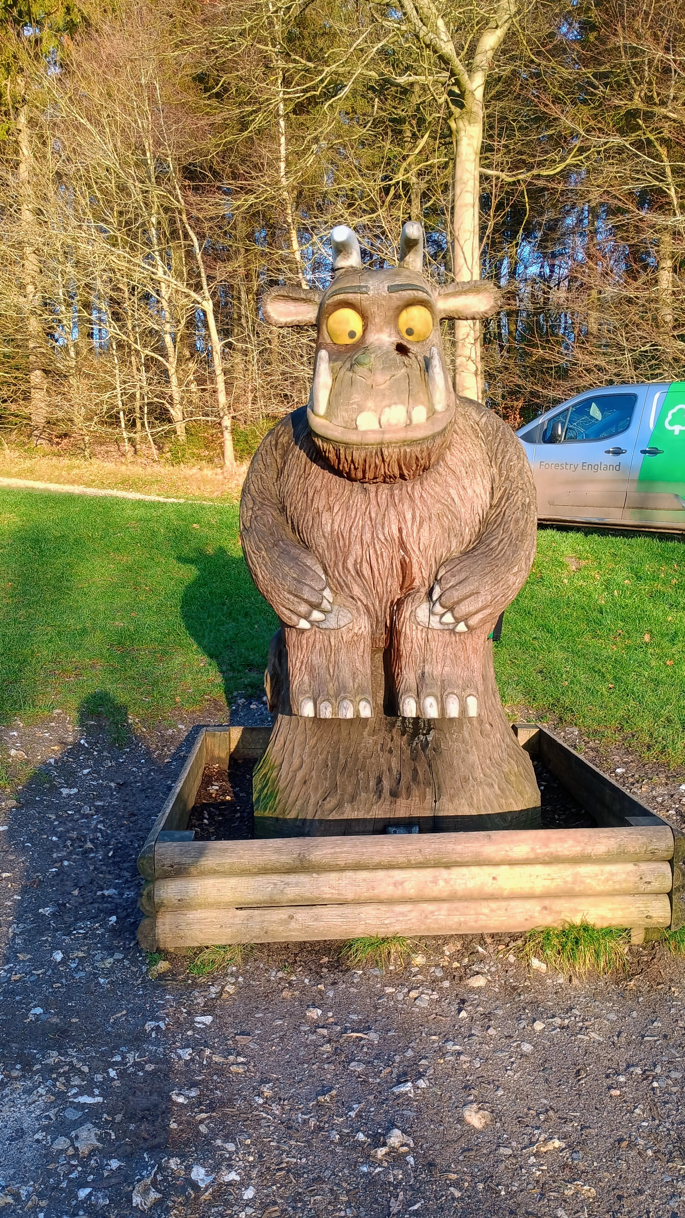
On the way back, I continued north to see the Trig Point in the farmer’s field mentioned by so many other trip reports. Just a bit north of the field is a plaque commemorating the Aston Hill Climb, a motor race that ran from 1904 to 1925. A certain Lionel Martin had such a successful run there one year that he named his fledgling car company “Aston-Martin.” Returning to Wendover Woods, I stopped to see the Go Ape ropes course and wooden Gruffalo sculpture. A couple of park employees were gluing purple prickles into holes in the back of the statue, which I assume get ripped out constantly.
I hiked back along the Fitness Trail and ended up on a quiet street called Beechwood Lane, which brought me back to the town center. There’s a neat bookstore and a place to get some cheese. I picked up a hunk of Christmas Wensleydale and got back on the train home. This outgoing train (4pm) was absolutely packed! Lots of people were coming into London for holiday festivities. I was surprised to see a family sharing a few bottles of wine during the ride in, but I guess you’ve got to get in the spirit!
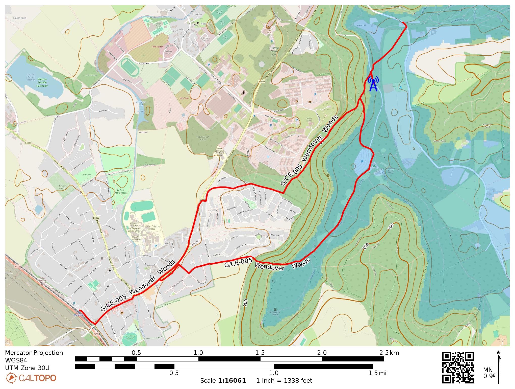
My route. The blue AZ is approximate as Caltopo’s data are not as accurate in UK. The blue radio tower was my operating location, of course!
Trailhead: 51.76191, -0.74728 : Wendover Railway Station
Route: I took a 5.5 mile RT hike through town of Wendover and park, seeing a couple of interesting sites. Direct route to operating site about 2.25 mi; about 130m elevation gain.
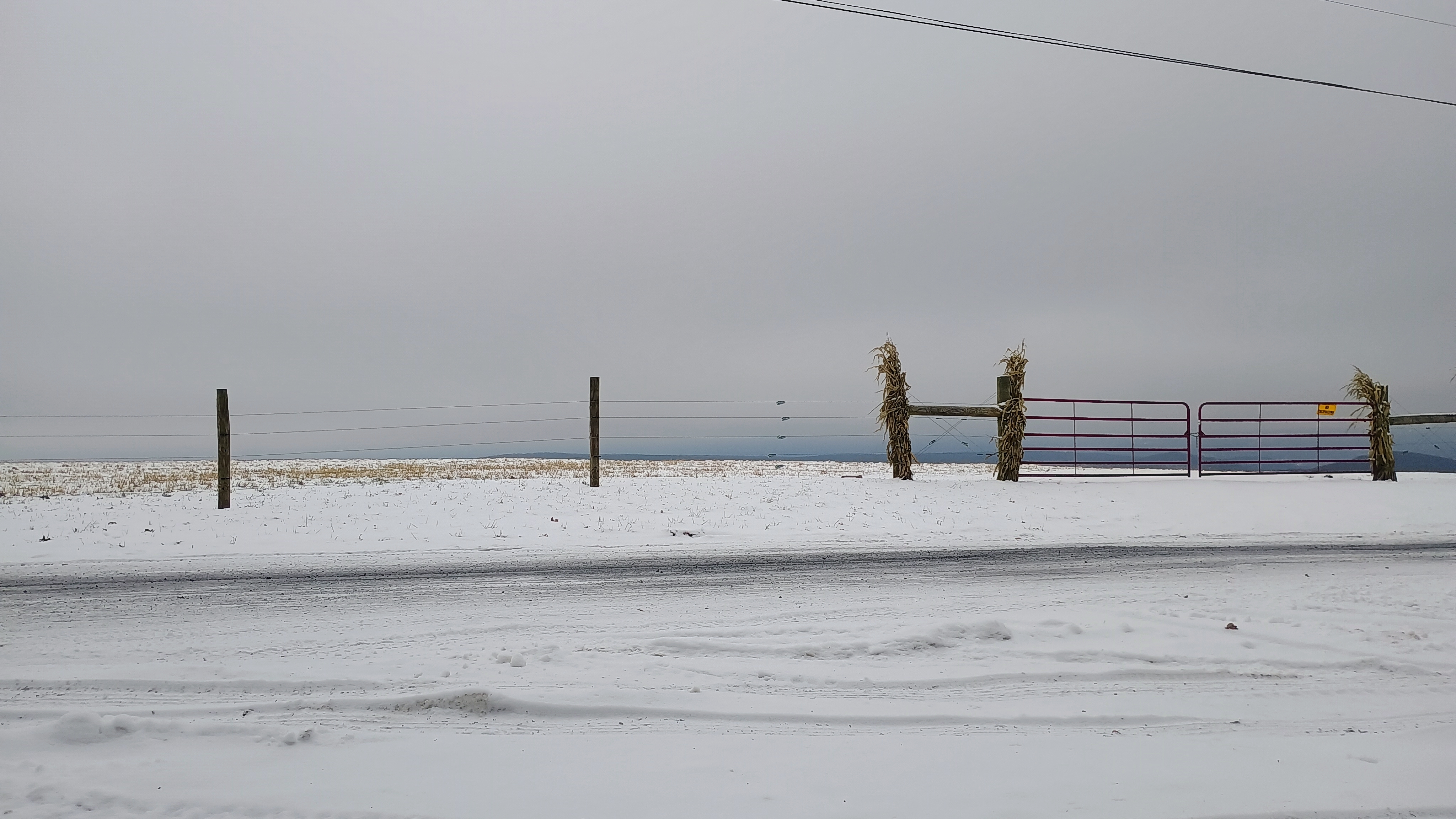
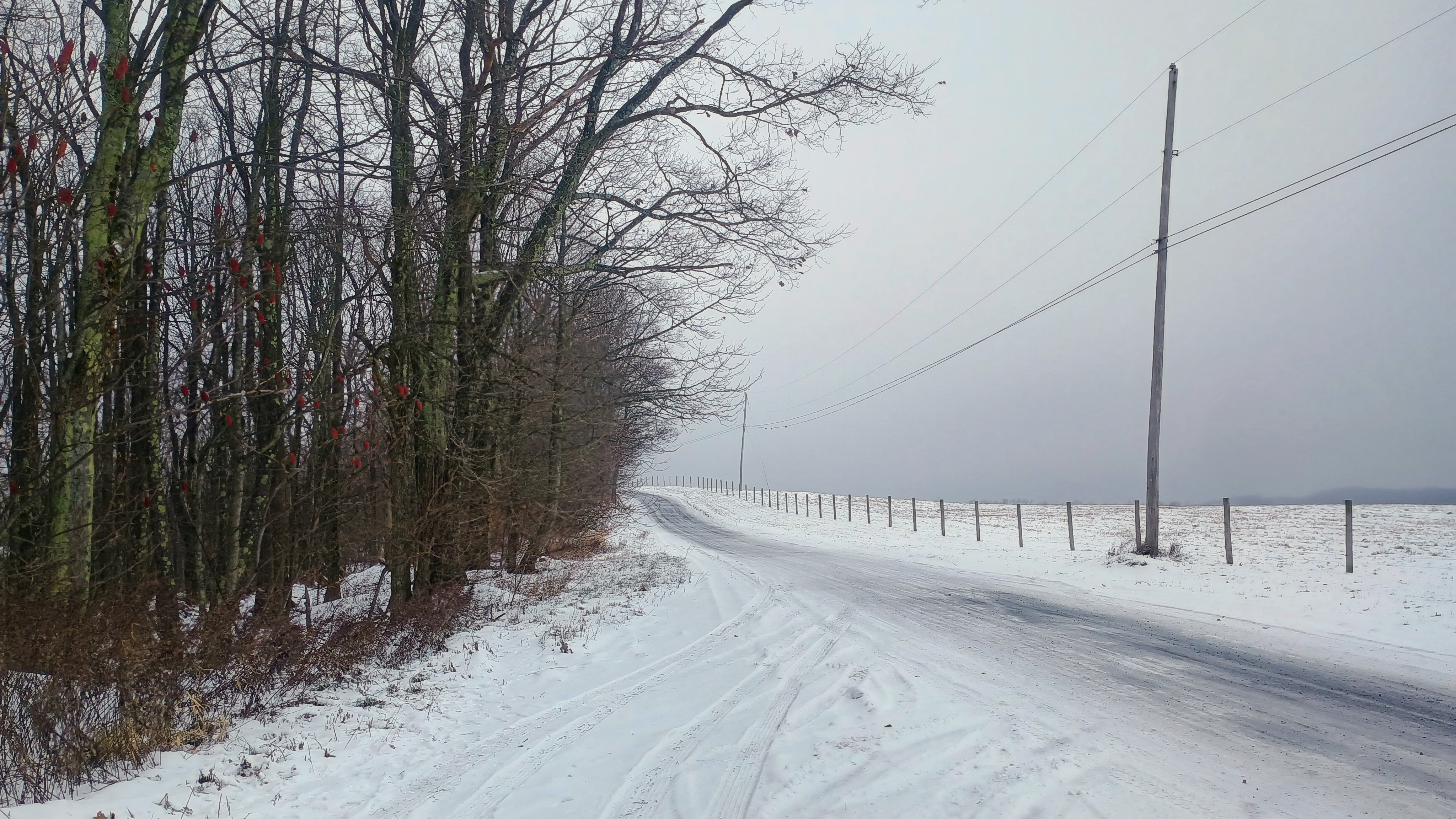
This unnamed peak is on a farmer’s property. N2GBR reports getting permission from the landowner, but Jody K3JZD found a roadside gravel parking area within the activation zone along Fairview Road. This gravel road is not busy (it was snow-covered) and faces a farm field. One truck with a couple hunters (today was the last day of deer rifle season) stopped to check if my car had broken down, but nobody else passed by. Dan NM3A activated this very site the previous day, and I could see his tire treads and footprints left behind in the snow.
This was another roadside SOTA “adventure”. I packed it in after 20 QSOs to move on to the next one of the day, W3/PT-003 Seven Springs. The activation was good for the winter bonus, but I’m not sure I’ll come back to this one regularly. Maybe coming back with permission to get to the actual hilltop will make this more fun. A bit of DX on 15m: F4WBN, SM5LNE, G3VXJ, DL1HBT, and G0OOG/P.
Trailhead: 40.03652, -79.48277: Parked in pullover alongside Fairview Rd across from farm field





 Tom Zajdel