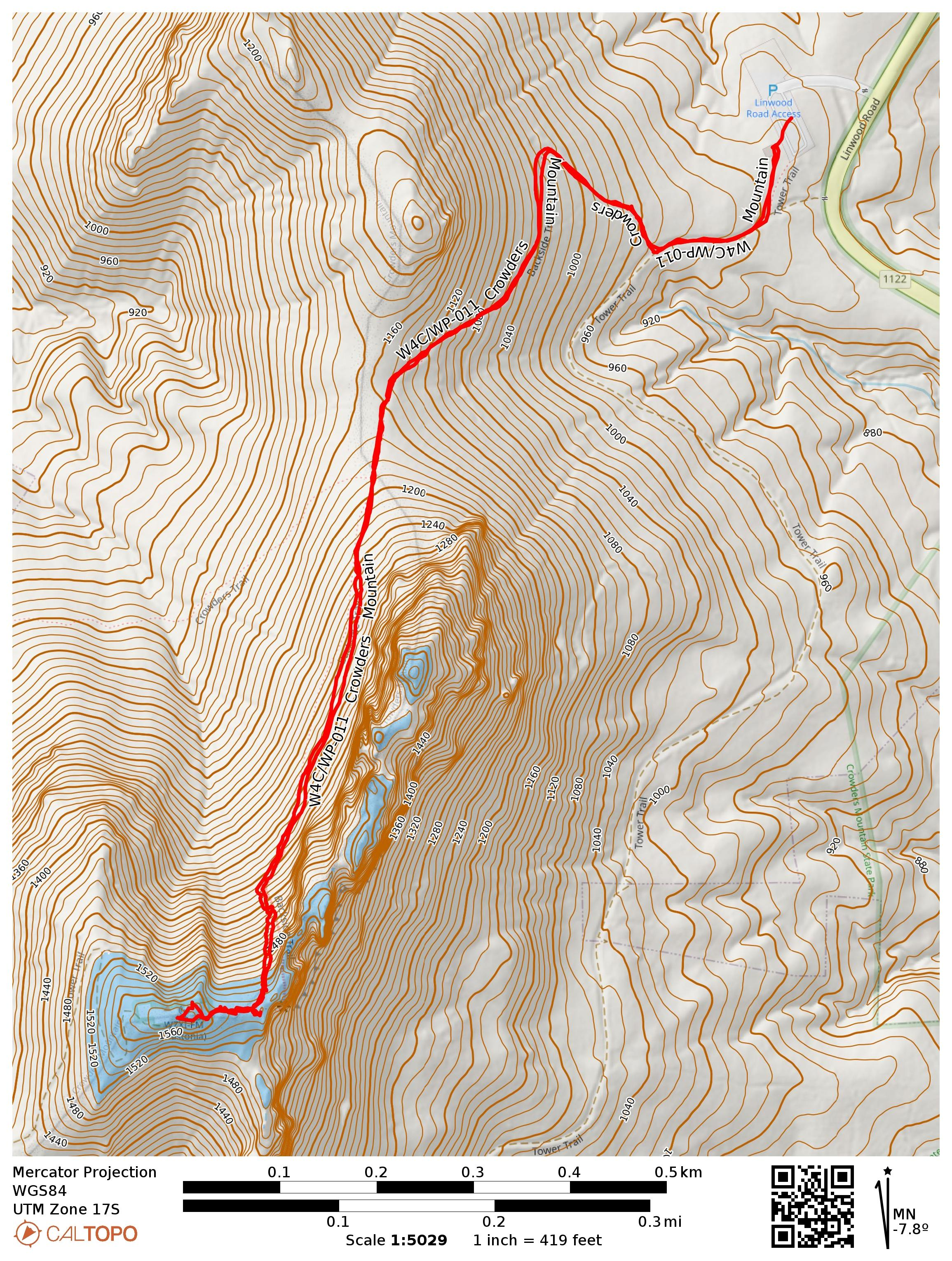
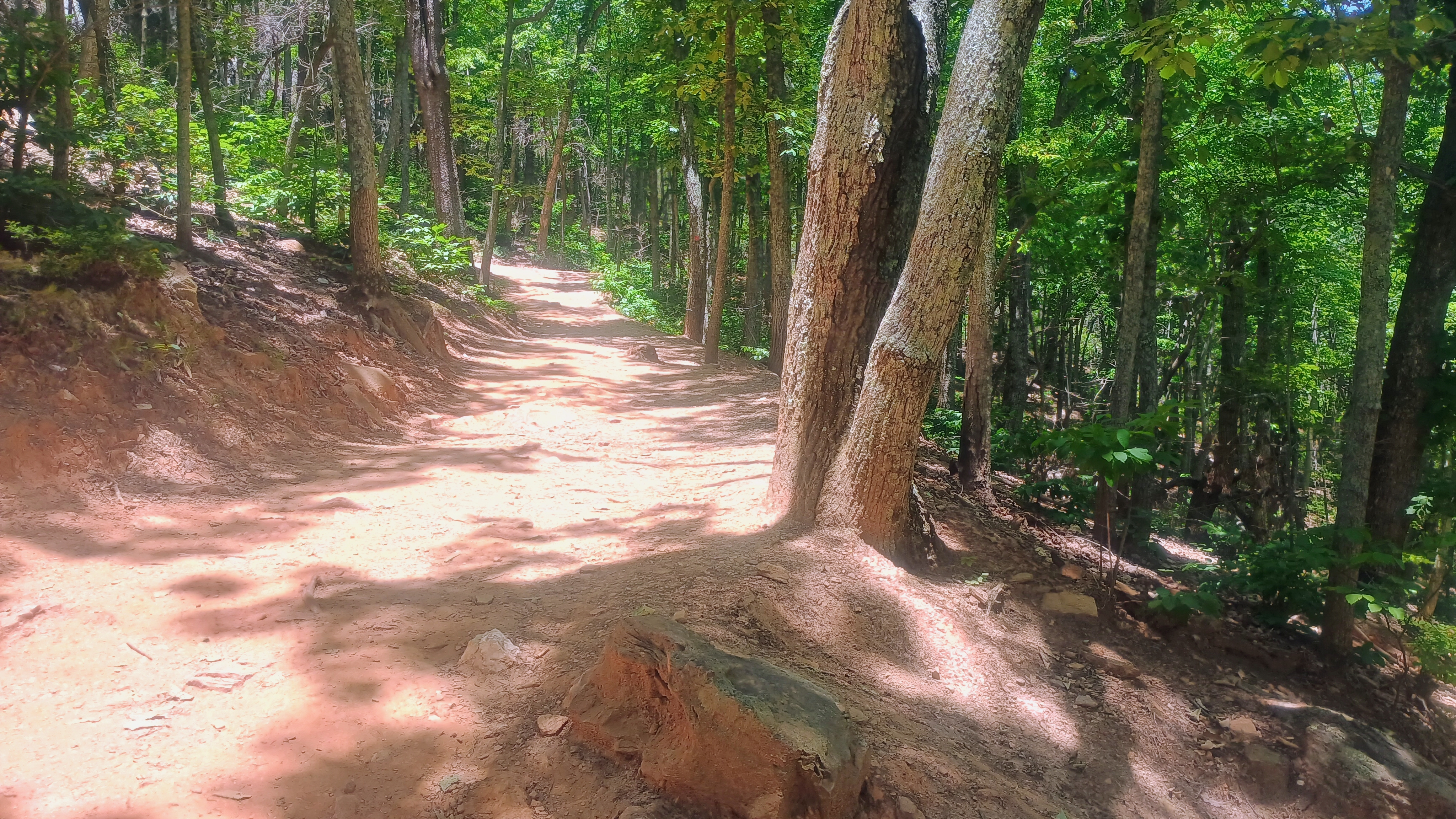
I had an evening to slip away from Charlotte to return and complete the second SOTA peak in Crowders Mountain State Park. Luna and I parked at the Linwood Road Access area and started up the Backside Trail, which is blazed with orange hexagons. The trail was still busy for a Tuesday evening, and we saw at least two dozen other hikers along the hike.
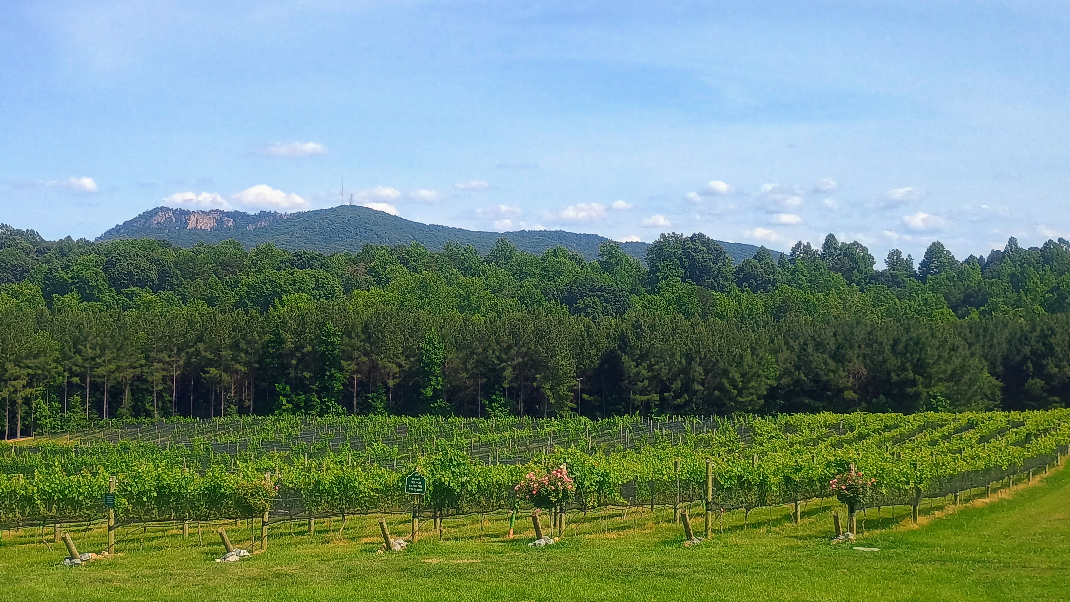
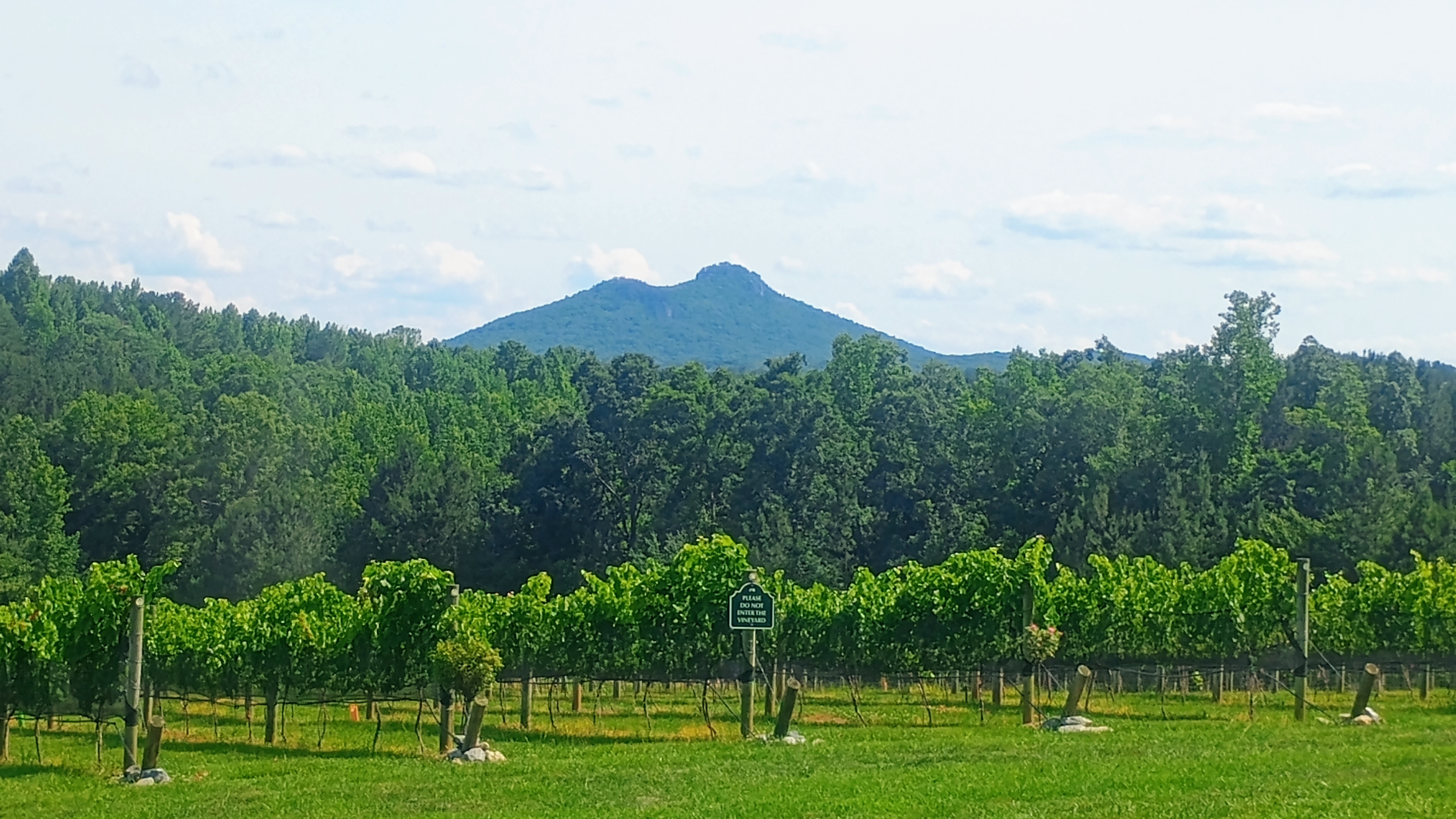
View of Crowders Mountain from Veronét Vineyards.
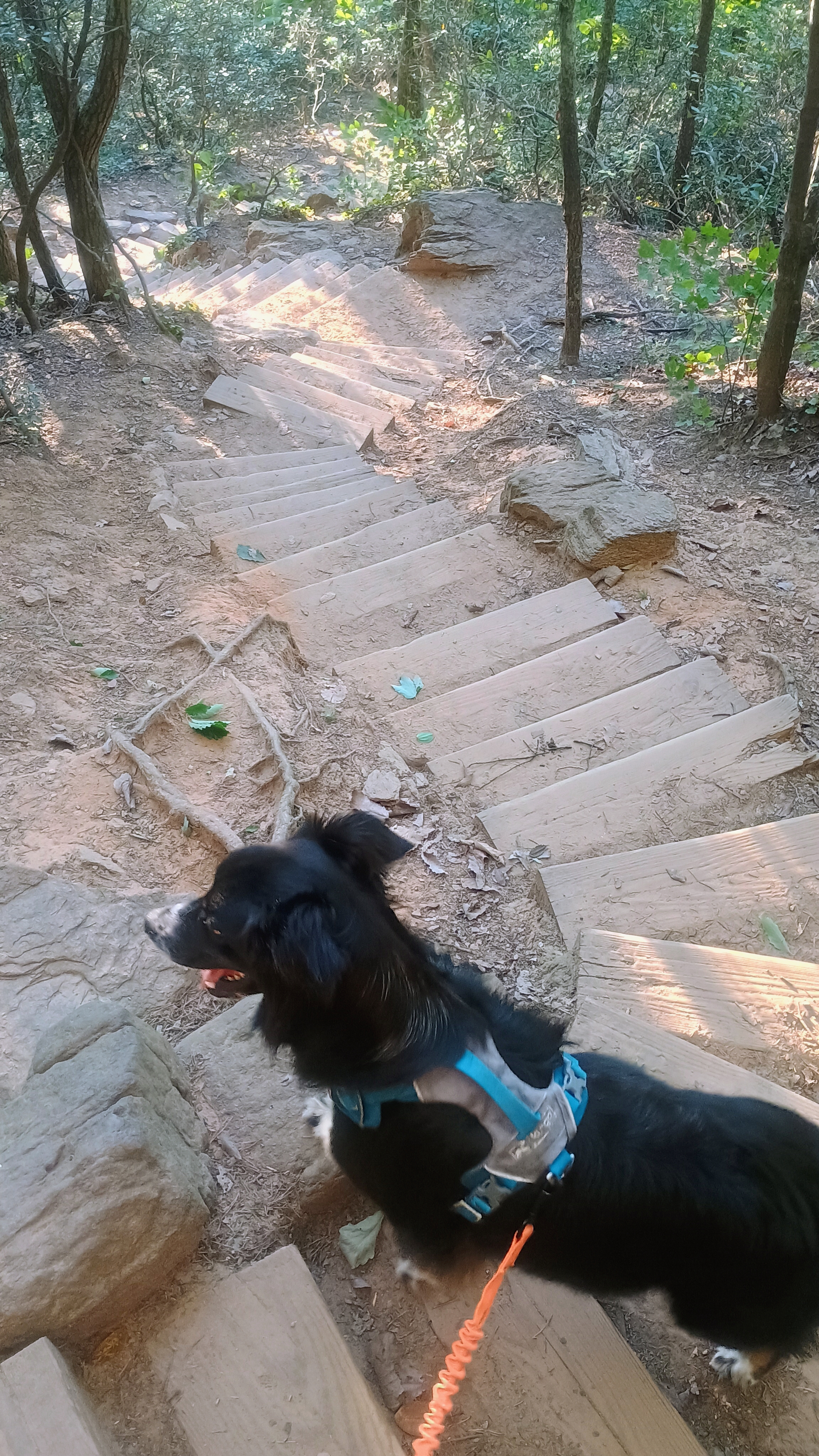
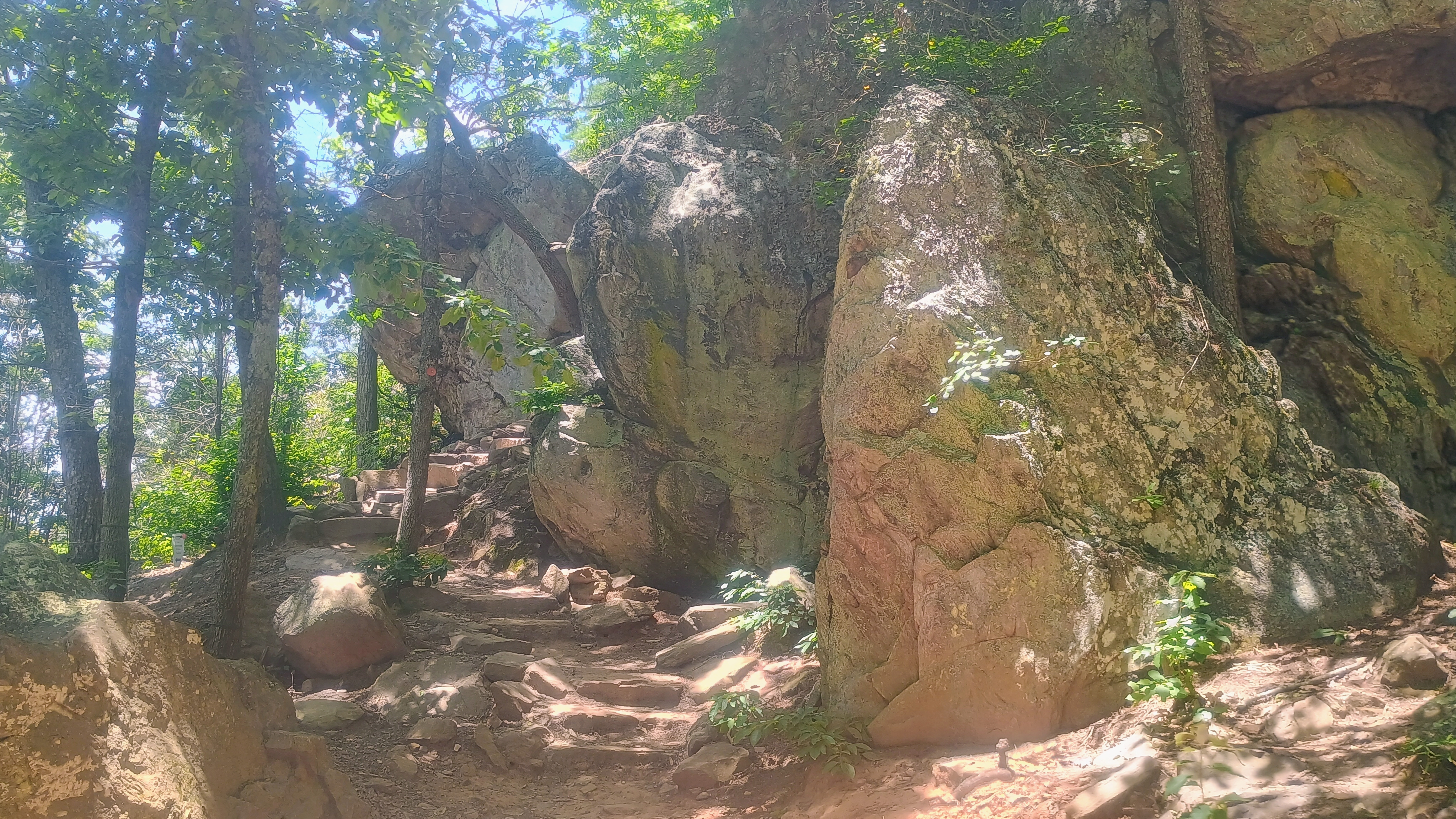
This one is a steep but short climb, about 0.8 miles to get to the rocky scrambles at the top. The last bit of the ascent takes you up a wooden staircase.
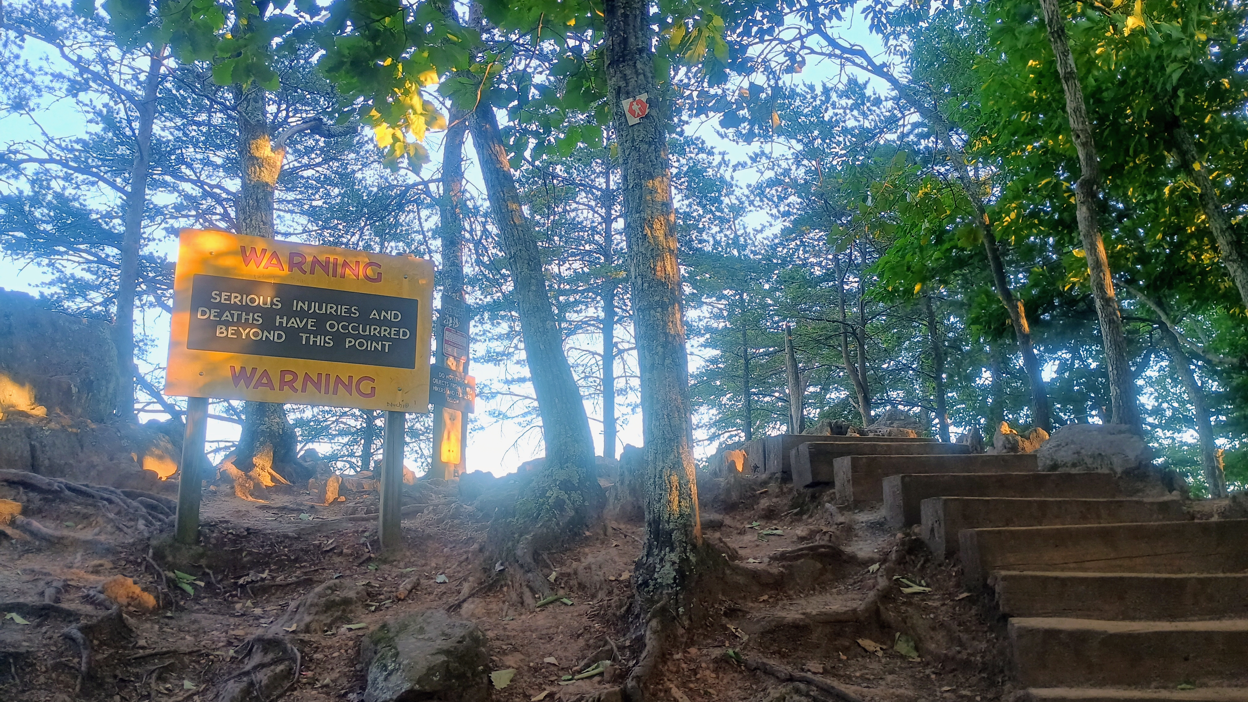
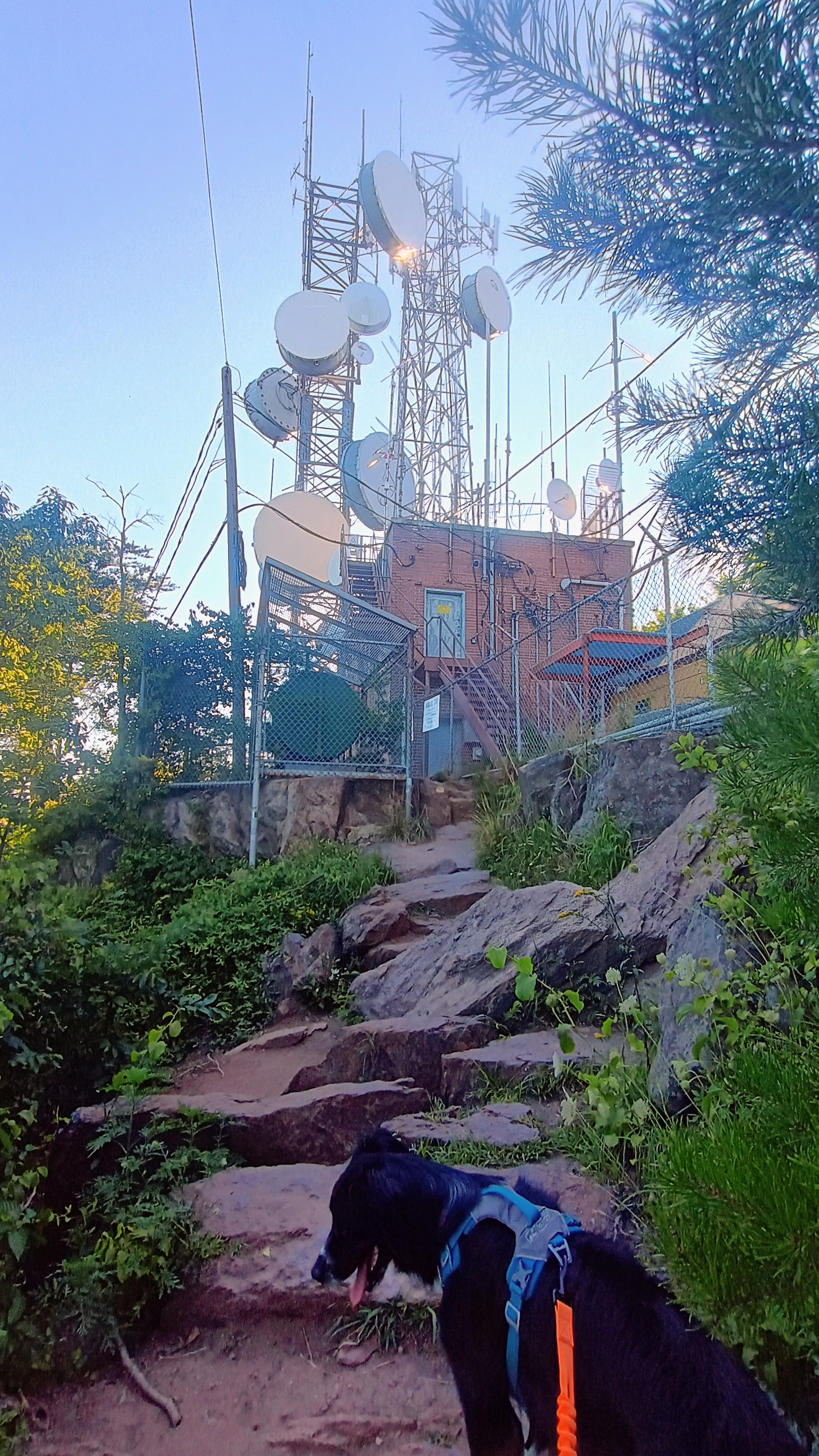
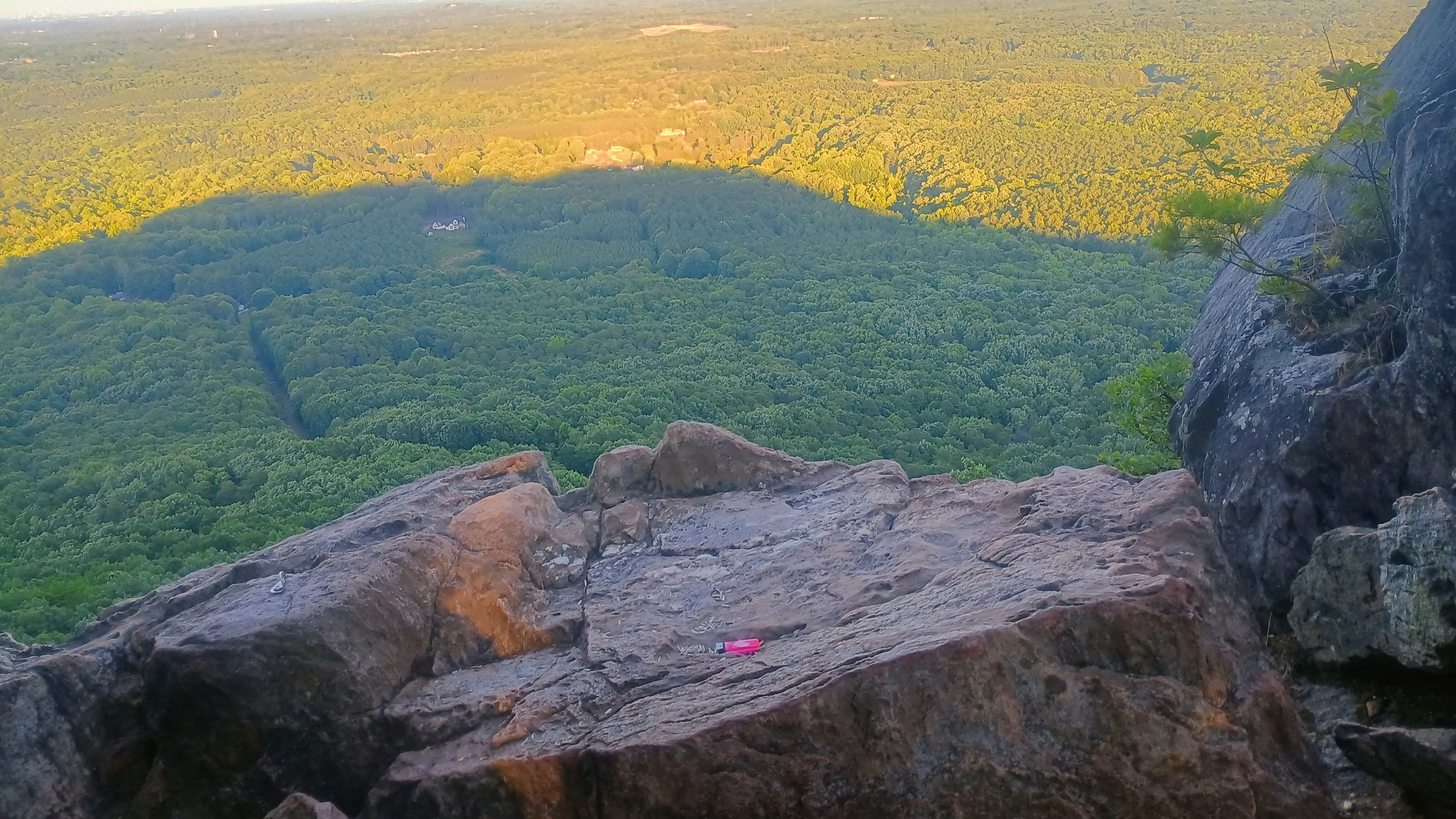
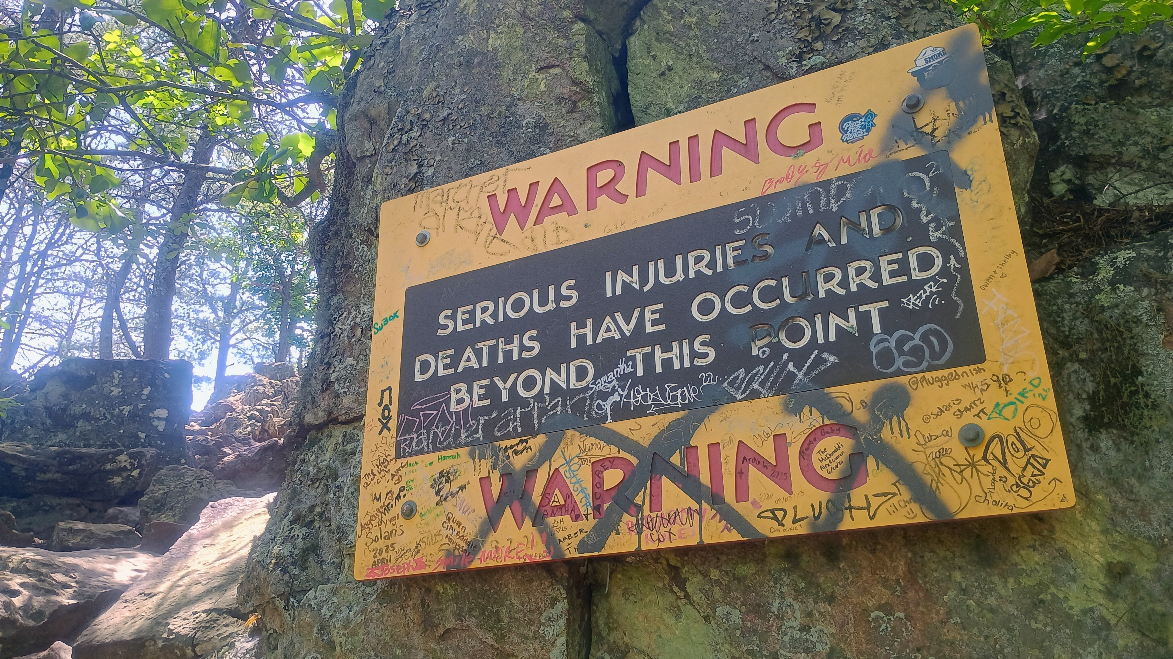
Looking down at the staircase.There is a warning sign here, and you should heed the warning. Some of the rocks drop down sheer cliffs suitable for rope climbing.Checking out the radio tower. I encountered a large amount of QRM on 2m.This rock is the edge ofa cliff. Very nice views with late evening sun lengthening the summit’s shadow.
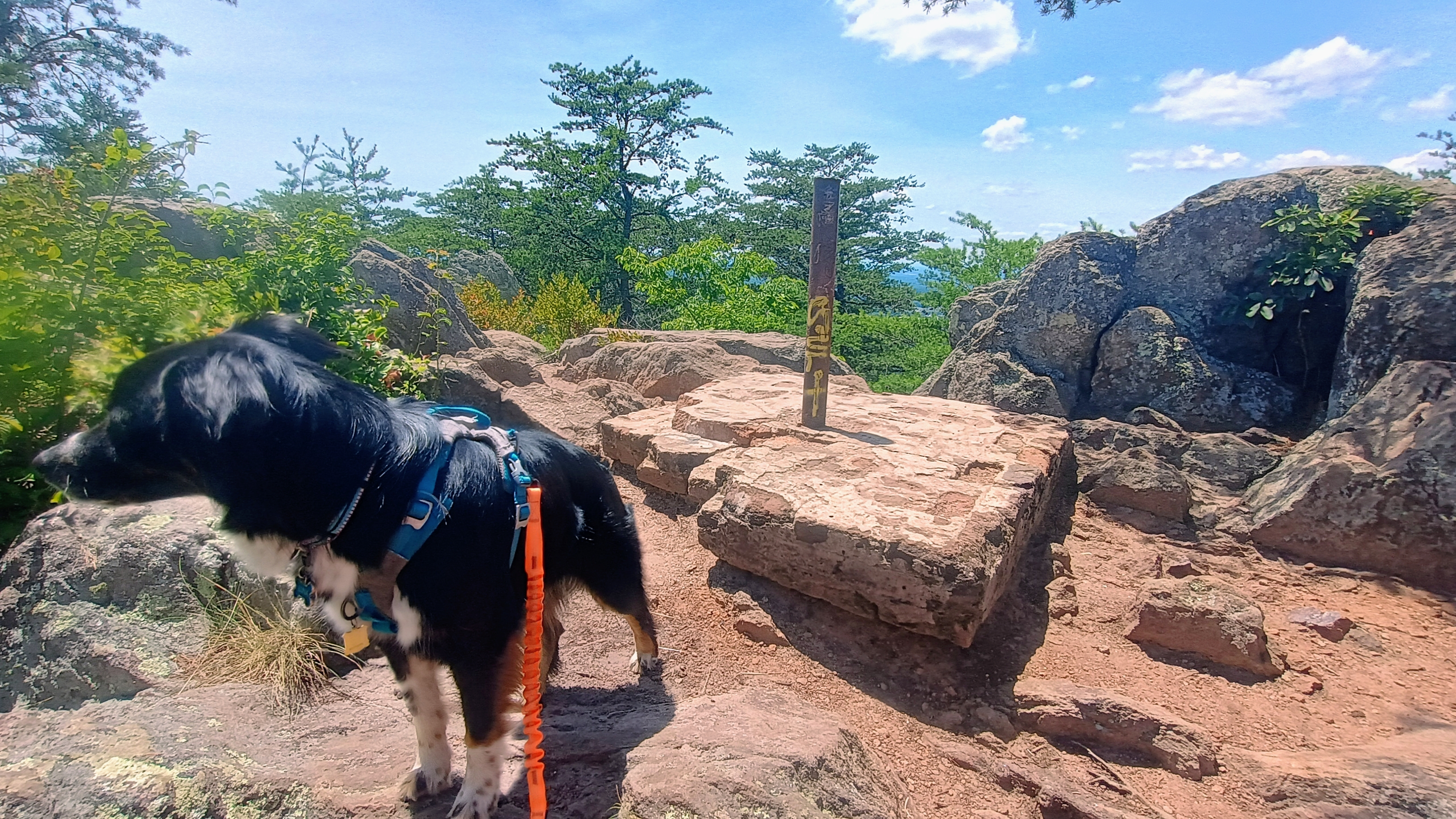
I found a side trail that I could string my EFHW along and hunkered down with Luna for some operating. There was a strong breeze keeping things cool. I had good luck on 40m and 20m, working 28 QSOs in quick succession. The new UTC day was approaching quickly, so I decided to pack up HF after only 20 minutes, and called on 2m. I got W4MW again on FM from his QTH in Boone (I worked him on my activation of W4C/WP-010 The Pinnacle a couple days ago), but had trouble hearing anybody else as I was still close to the tower. I walked a bit further from the tower and was able to hear KO4AXL, who was mobile. That was it for 2m FM. I’m going to have to get one of those 2m BPF filters that N6ARA is about to release!
Trailhead: 35.24099, -81.26946 : Crowders Mountain State Park – Linwood Road Access
What good fortune to be in Charlotte, NC the day before a conference! My wife Stefanie KK6STE is attending too, along with our dog Luna, and it was crucially important to tire her out so we could leave her in our hotel room while we went out to dinner this evening. After getting her to sprint around a dog park in the morning, I took her on this hike in Crowders Mountain State Park, about 25 miles west of Charlotte.
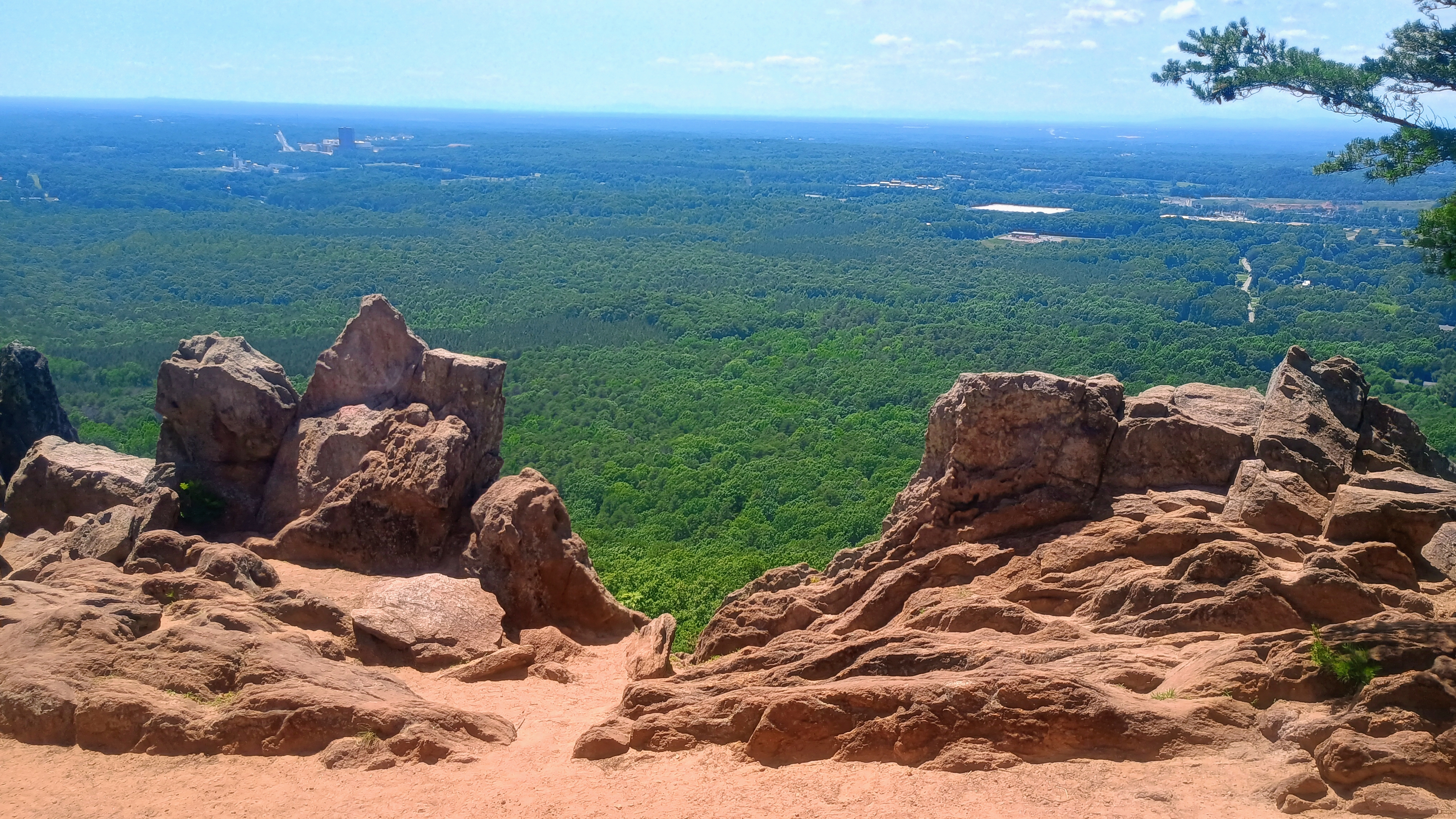
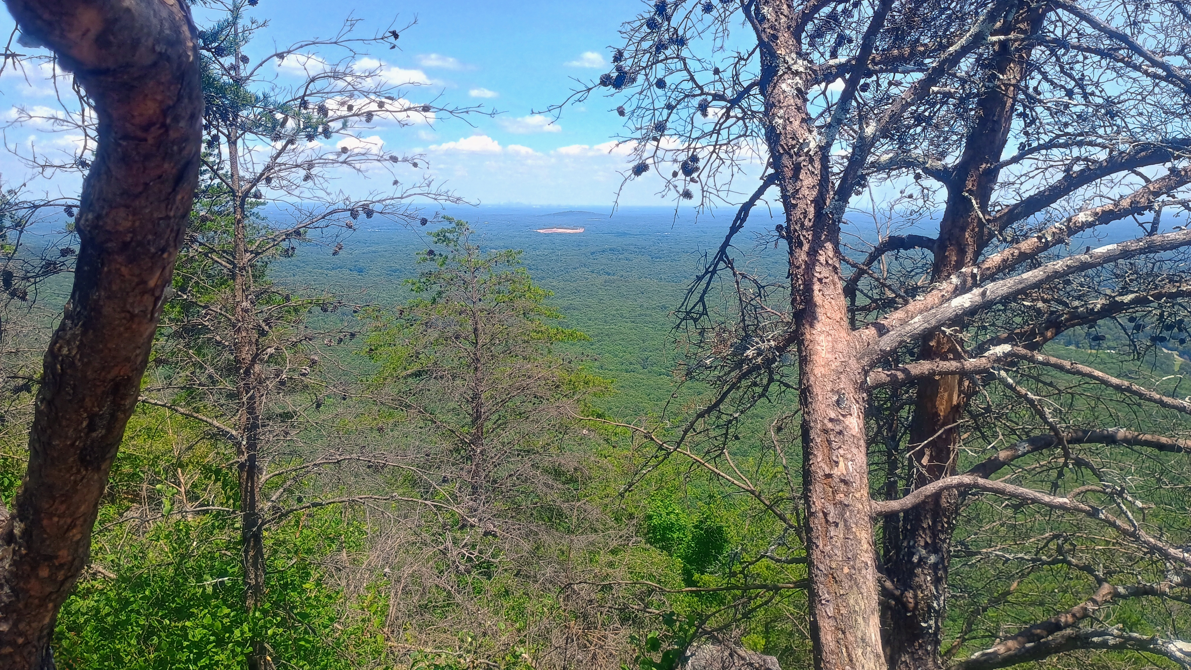
This hike is a local gem, taking you up The/King’s Pinnacle, a monadnock of 800 feet rising far above anything else in the vicinity, with some light scrambling near the end. At the top, I was able to see the skyline of downtown Charlotte and the southern rim of the Blue Ridge Mountains, as it was a hot but clear day. This was a very busy trail on father’s day, with many families, children, and dogs all hiking up the Pinnacle.
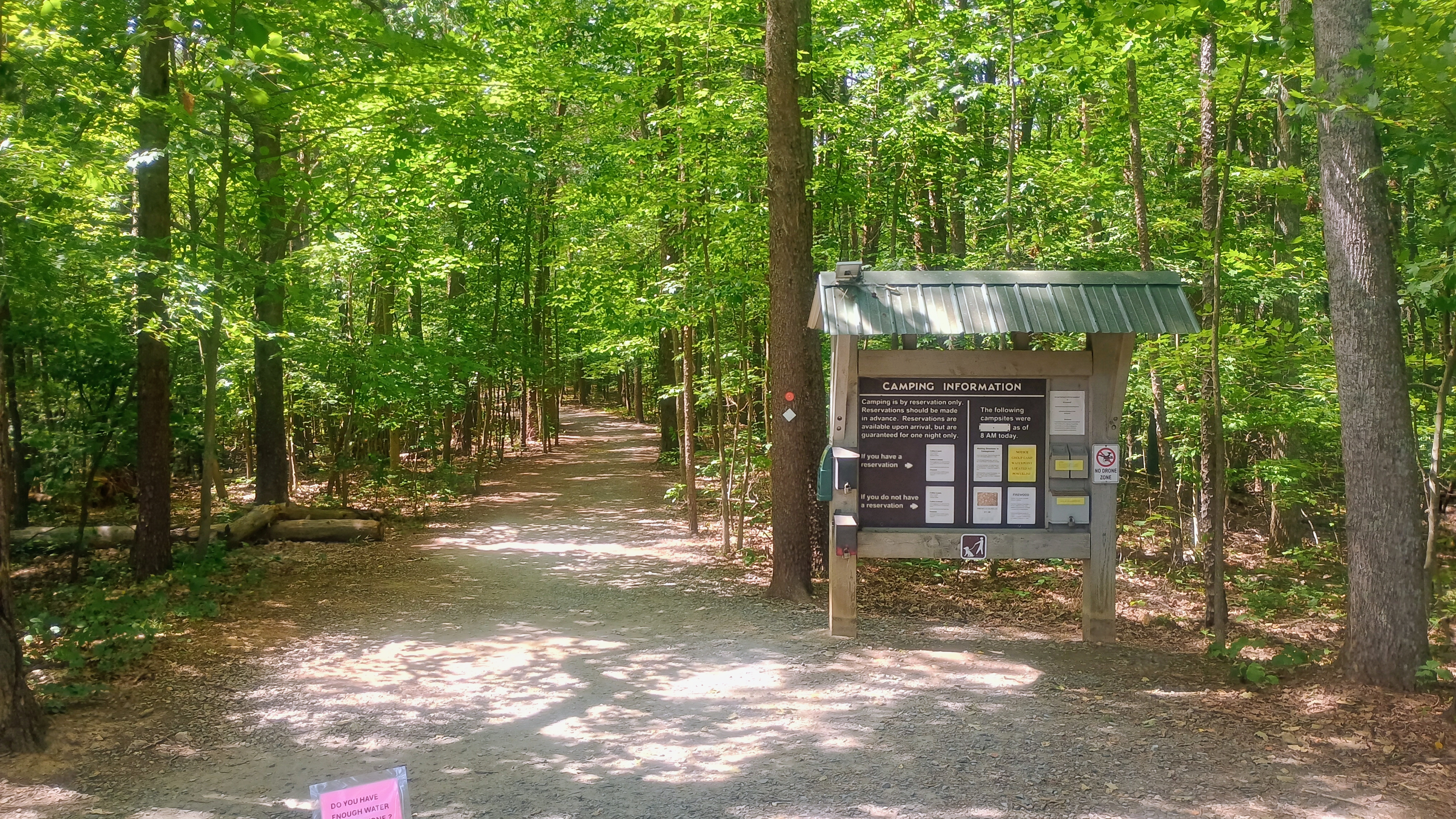
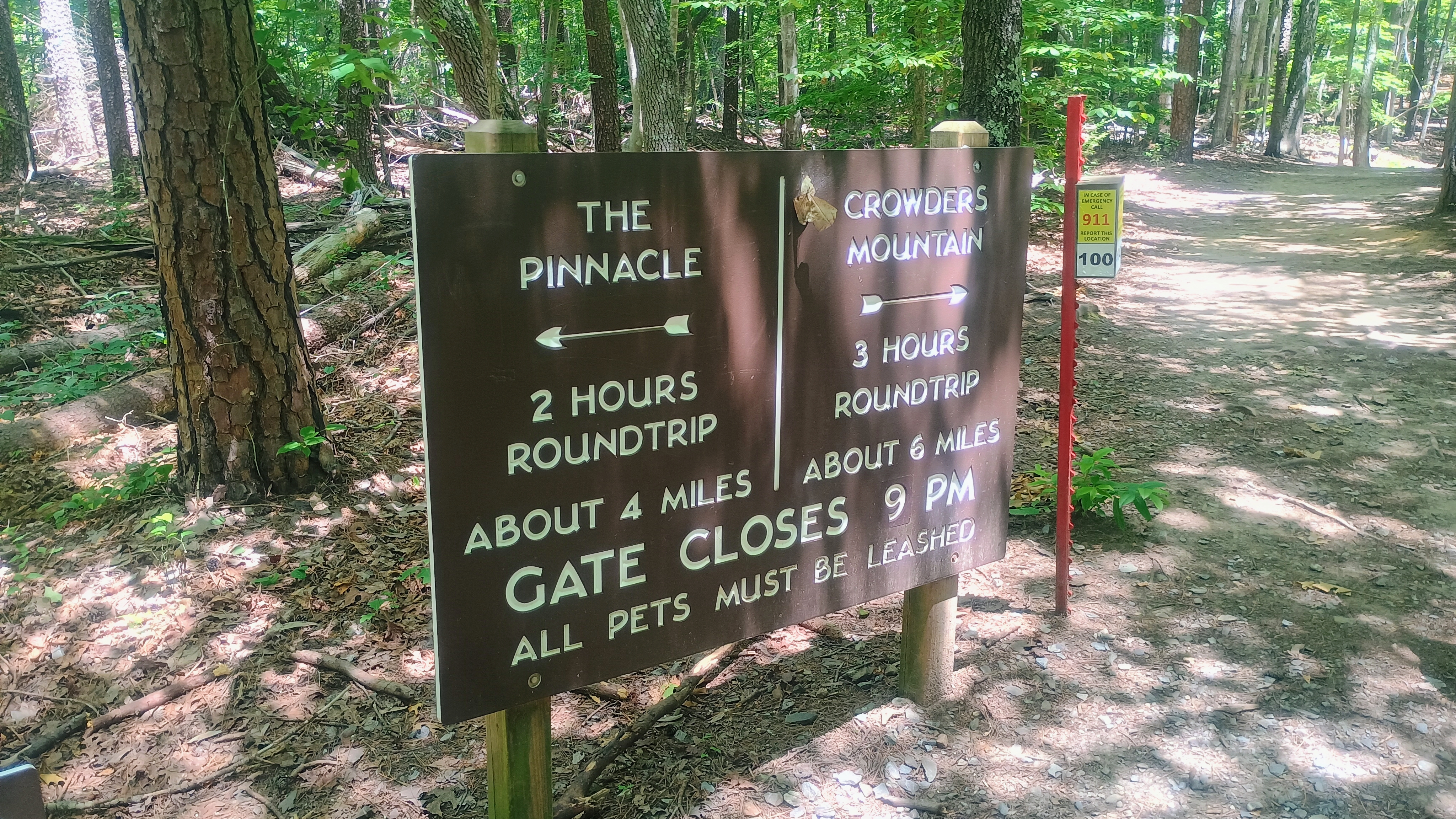
The trailhead has a signpost with camping information. Just see where other visitors are walking if you go on a weekend, as they’re probably headed here.Crowders Mountain is SOTA peak W4C/WP-011, but there is a shorter hike from the Linwood Road access area. I elected to go with the Pinnacle today. I might be able to slip back for Crowders Mountain later in the week.
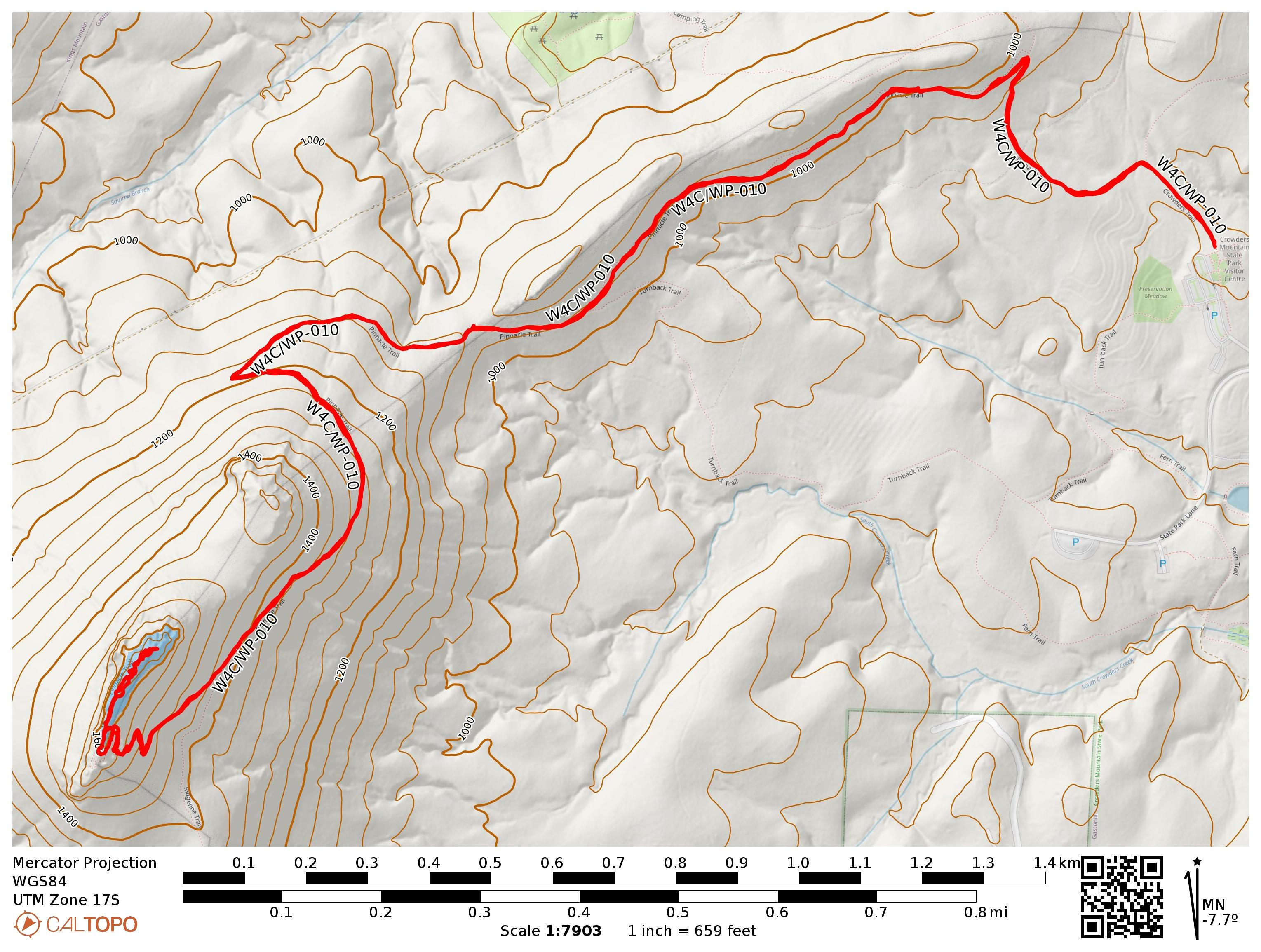
The hike starts at the Crowders Mountain Visitor Center, Sparrow Springs Access. Just off the parking lot is a trail towards the park’s campsites. Before long, there are helpful signs guiding you along the Pinnacle Trail, which is also blazed with orange circular reflectors. The paths are wide and well-used. Even with the heat and the just after noontime start, I probably passed by over 200 other hikers today on the just over 4-mile round trip.
Wide, well-worn dirt paths switchback up the mountain.
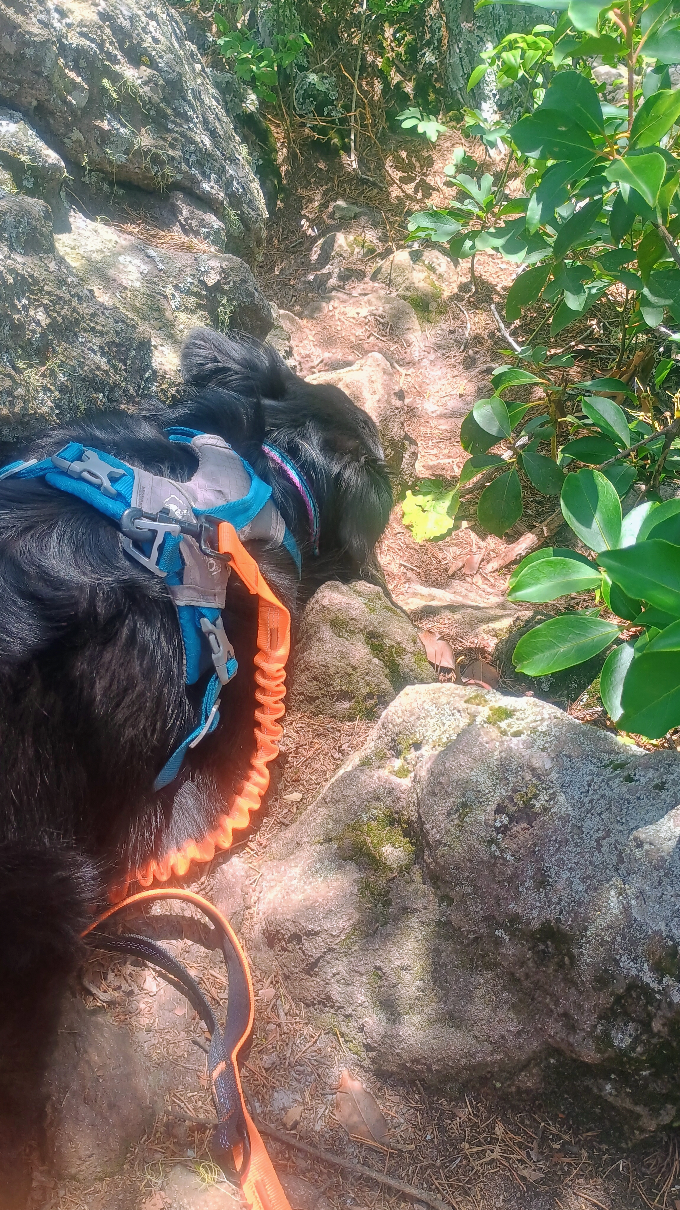
Close to the summit ridge, there is a staircase hewn into the rock, and then there is a junction. There are some scary signs to the right warning you about the pitfalls of rock scrambling, but there is an easier path up that requires less steep scrambling to the left. I took this way, and Luna had no problem bounding up and down the narrow, rocky paths.
Rock staircase means you’re getting close!If the climb up this rock face looks intimidating, just move to the left and you’ll find an easier way up.At the summit marker.Appalachian mountain’s southern rim was also visible. This wide, flat part is a popular place for group pictures.
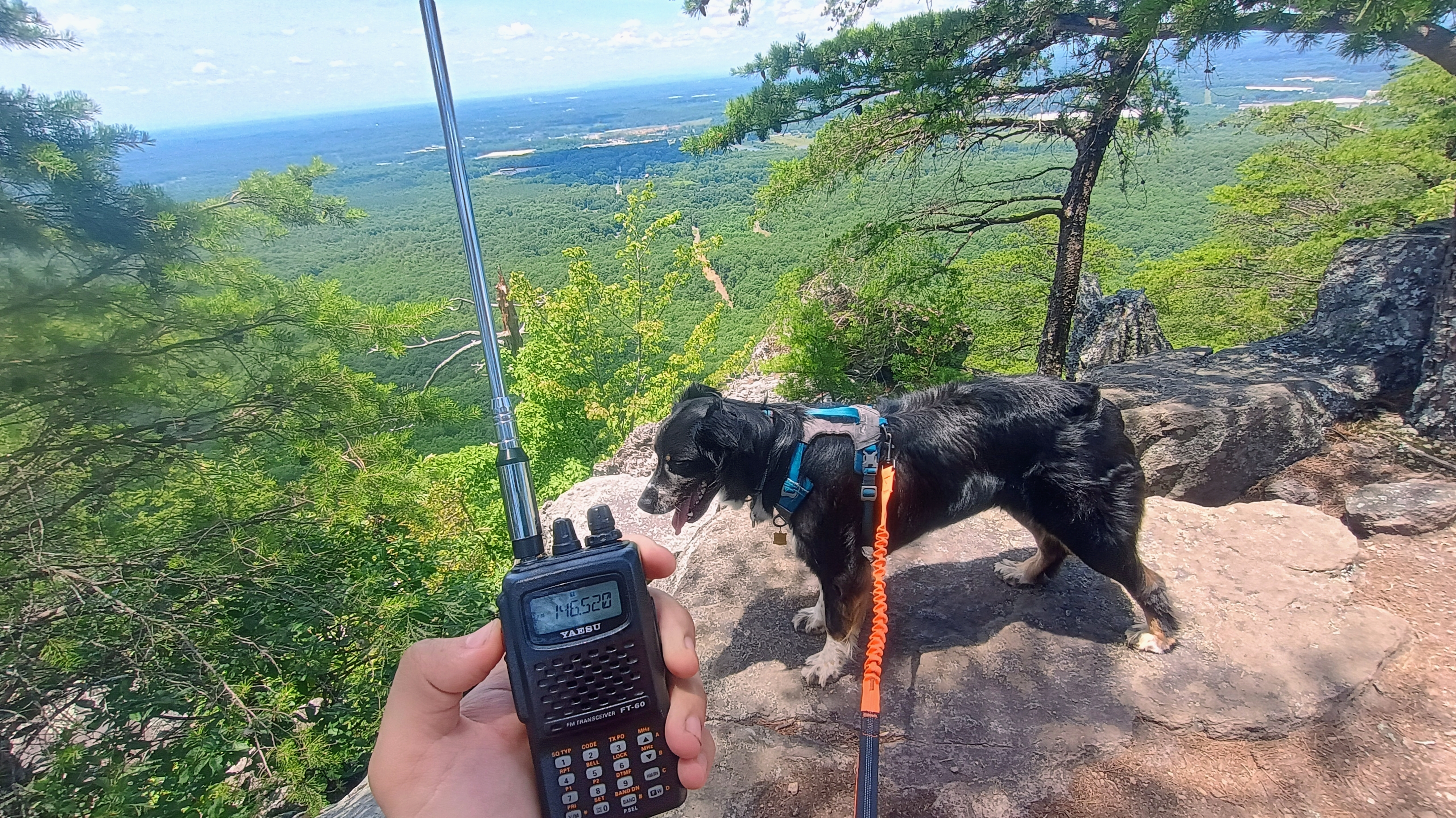
It was a bit crowded here, but I took my time getting my EFHW at the edge of the trail with a less popular vista so I would interfere with as few hikers as possible. Luna huddled down in the shade with me, clearly pooped from all the activity. I brought my half-wave collapsible whip for my HT and managed four QSOs on 2m FM, which was amazing! Thanks to KM5E, KM4DWY, W4MW, and KD4RAM for the local contacts. I also managed three S2S, all on 20m: El K6EL on W6/NC-423 (Mt Davidson, where else?), W0XC on W0C/SP-058, and N4DD on W4V/GC-013.
It was FB getting some 2m FM QSOs in the log!You can just barely see downtown Charlotte from here.Luna was very tired!
Luna and I got up, dusted ourselves off, then rejoined Stefanie at the nearby Veronét Vineyards, where she was working on some writing for her dissertation work. Some helpful folks pointed out Crowders Mountain, which dominates the horizon.
View of the saddle of The Pinnacle from Veronét Vineyards.I took the Pinnacle Trail both ways. There is an option to extend the loop very slightly through the Fallback trail, so goes the track by KI4SVM.
Trailhead: 35.21350, -81.29362 : Crowders Mountain State Park Visitor Center

 Tom Zajdel