First Activation of W3/SV-073 1670 

On a weekend trip to Huntington, PA with Luna, I got out for this first activation near Trough Creek State Park and Raystown Lake. While the peak is unnamed in the SOTA database, it is part of Terrace Mountain. It was late March and the temperature was a chilly 30F at the start of the day, but I welcomed that since my route would require 4 mi of bushwhacking round trip along the ridge. I parked at “Area 5,” not far from the famous Ice Mine, a small stairwell into a prospecting hole where cool air gets trapped underground and ice forms on humid days. It was cold enough today, so I refrained from climbing into the dark shaft at this time.

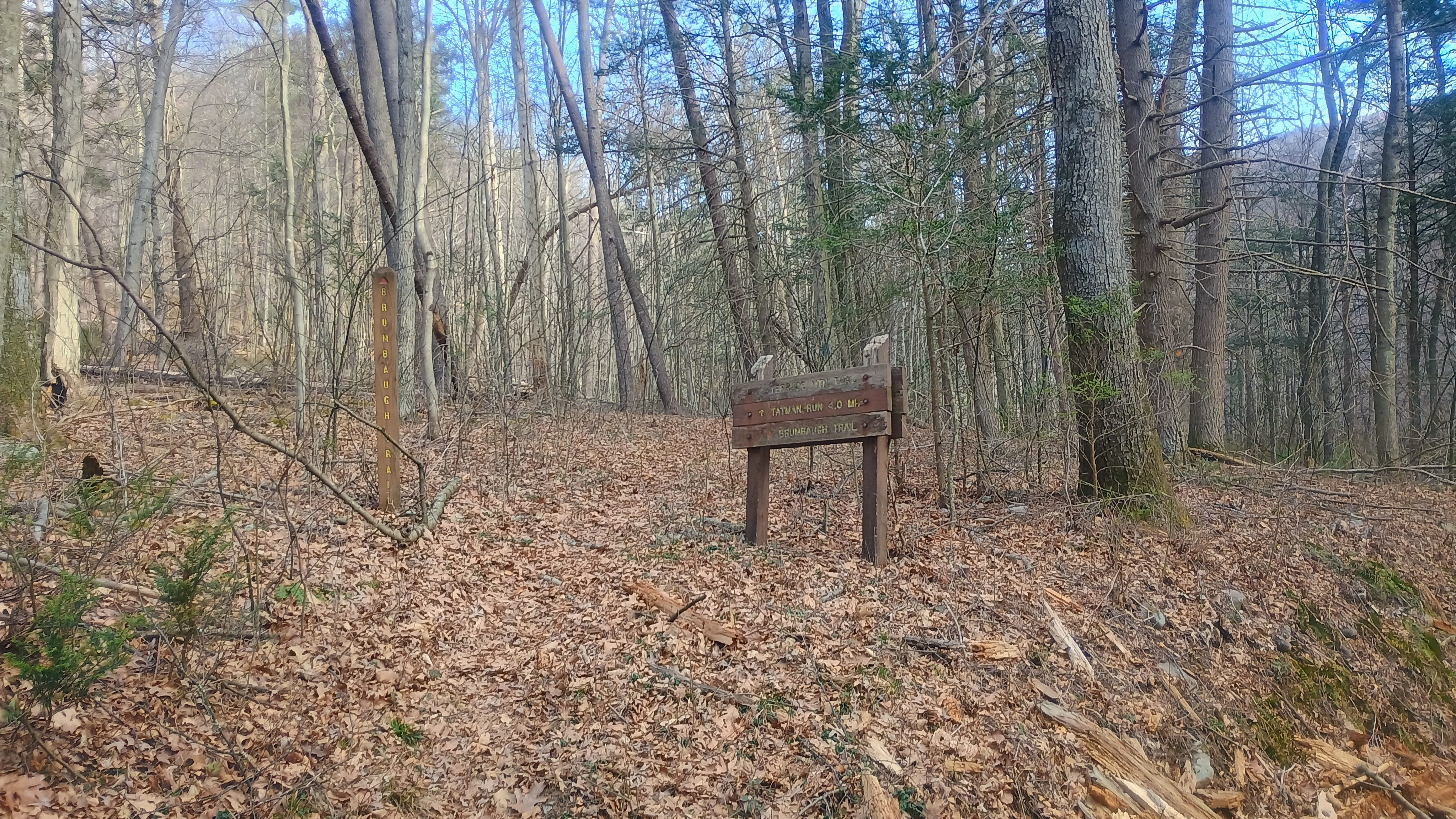
We crossed the bridge to Old Forge Road, and soon made it to the trailhead for Brumbaugh Trail.
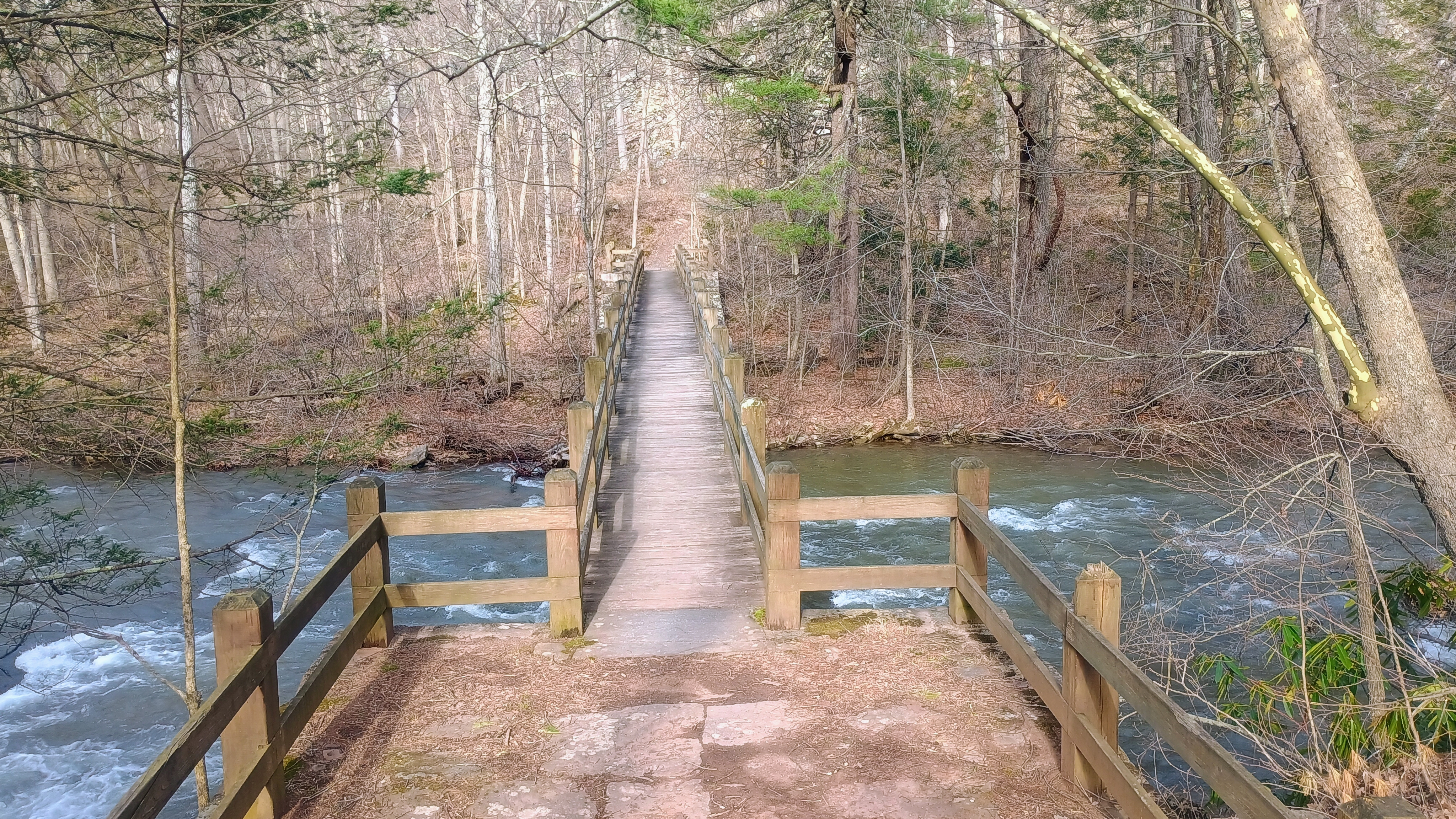
Bridge from the parking area to cross the creek.
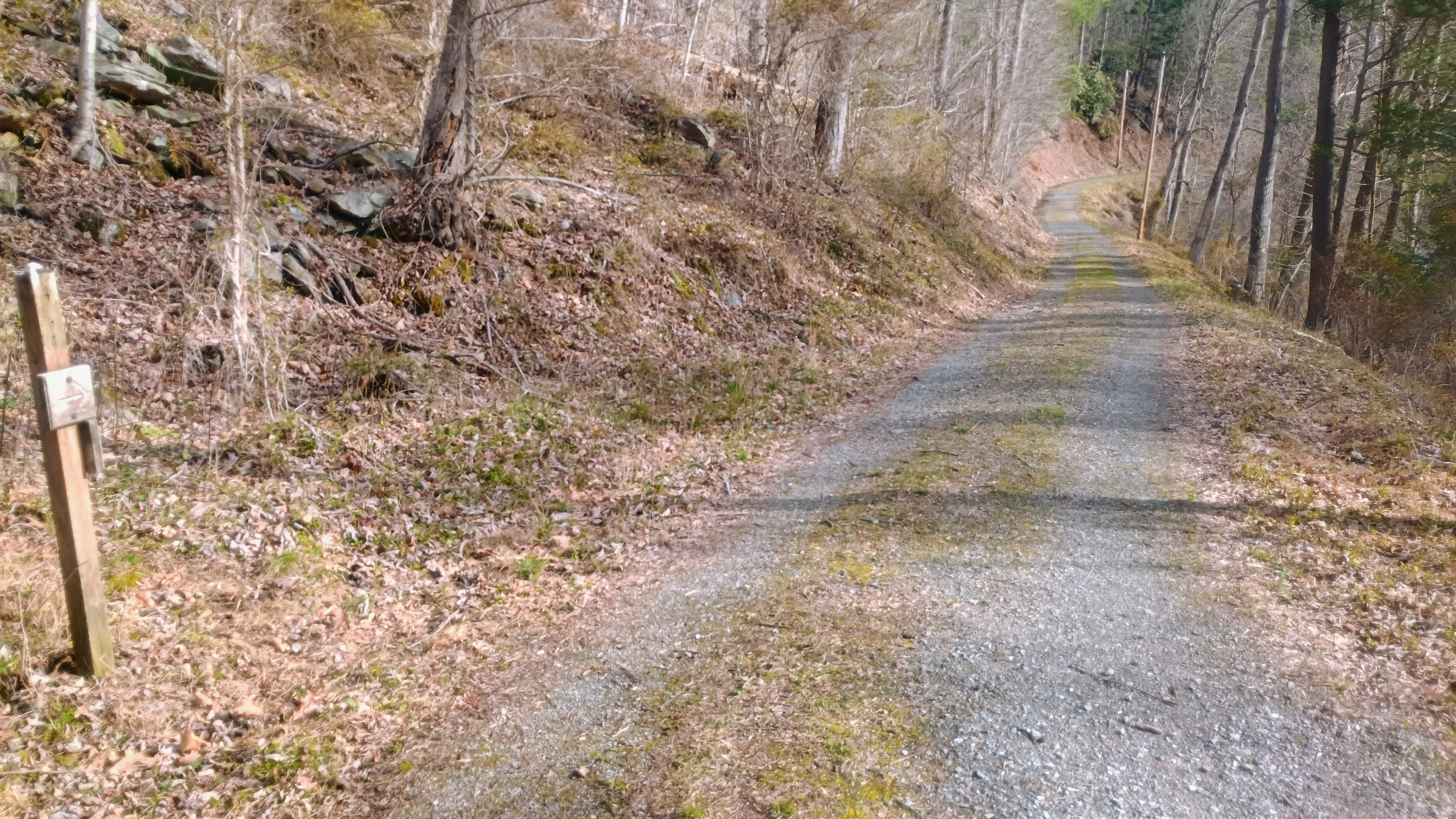
Old Forge Road
Start of Brumbaugh Trail

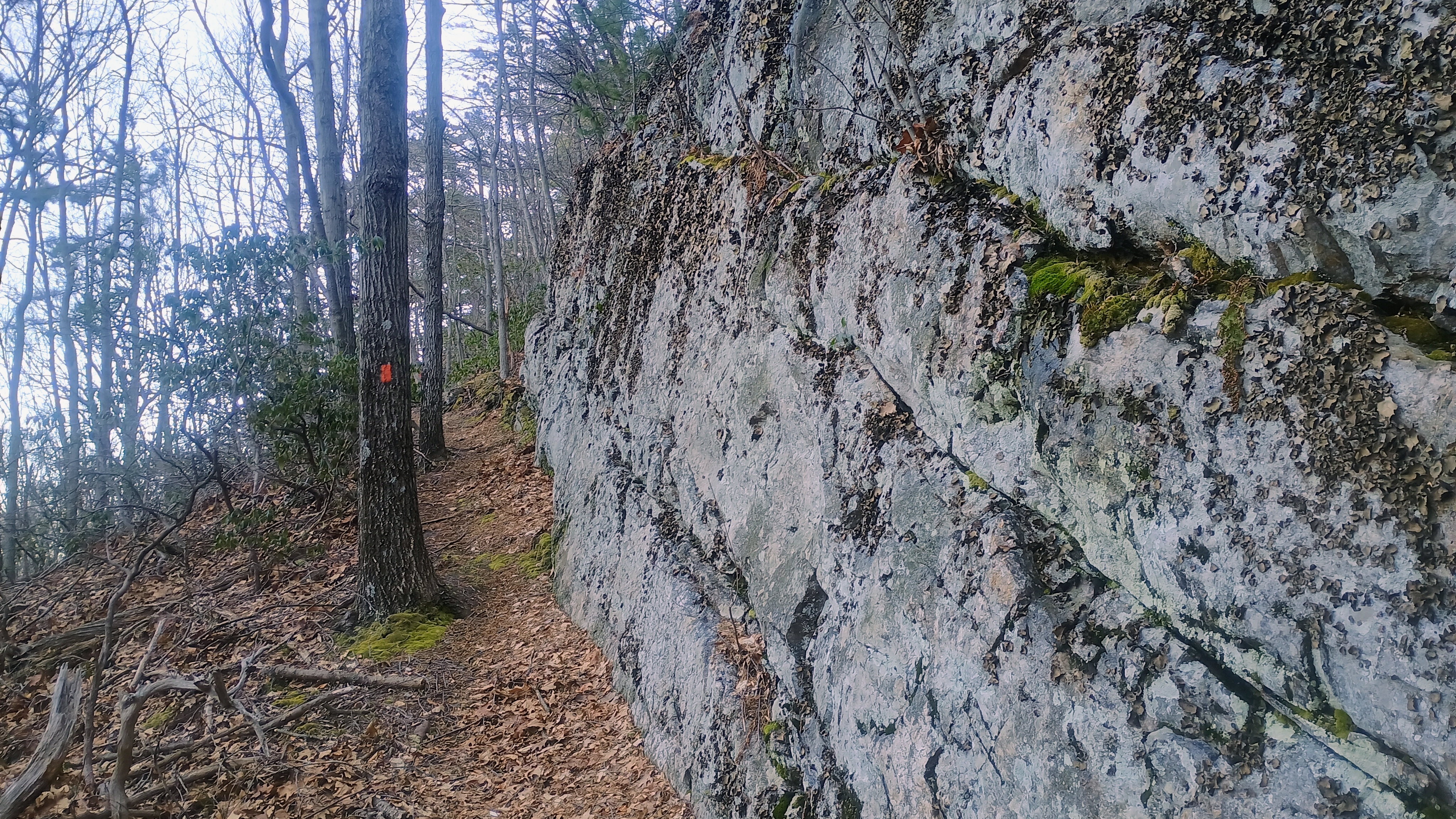
We climbed 750 feet of gain across just over mile on Brumbaugh Trail to get to the ridge of Terrace Mountain. The trail is marked with faded fed blazes. At this ridgeline, we were in the Trough Creek Wild Area of Rothrock State Forest, and about 2 miles of a bushwhack ridge walk was left to get into the AZ. It was a bit of a slog. There wasn’t much brush growing in early spring and the forest is fairly open, so it was pretty easy going, though Luna and I still kept getting her leash twisted around trees.
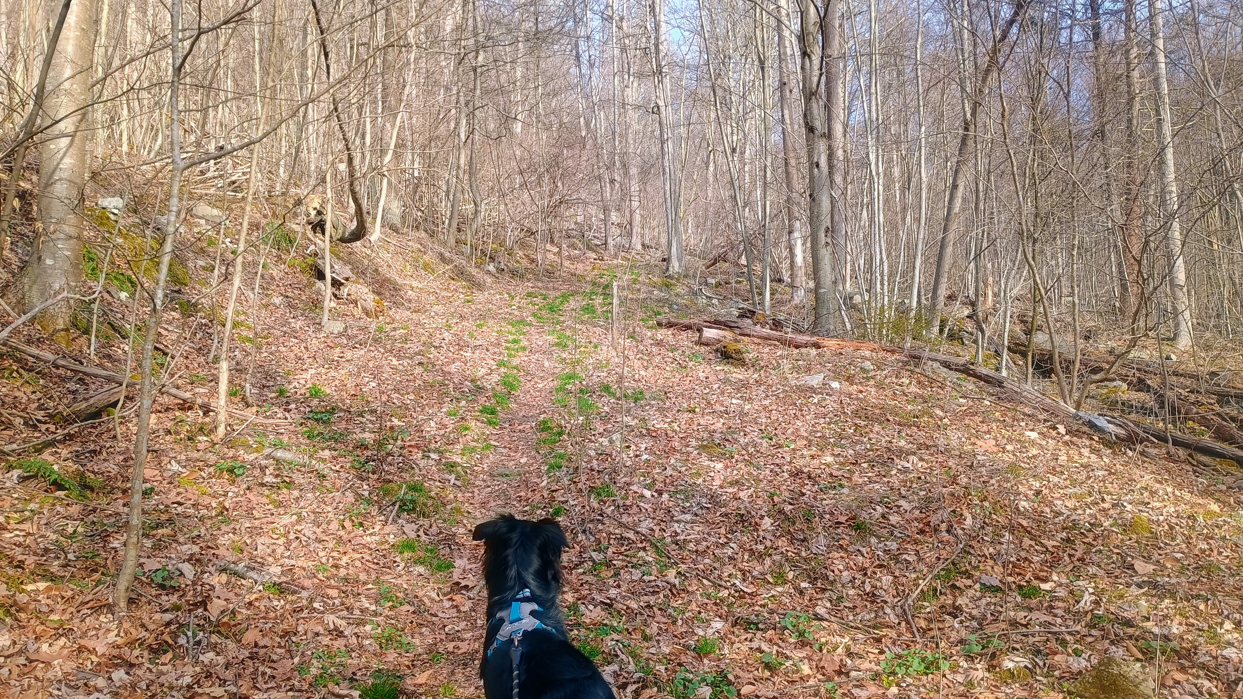
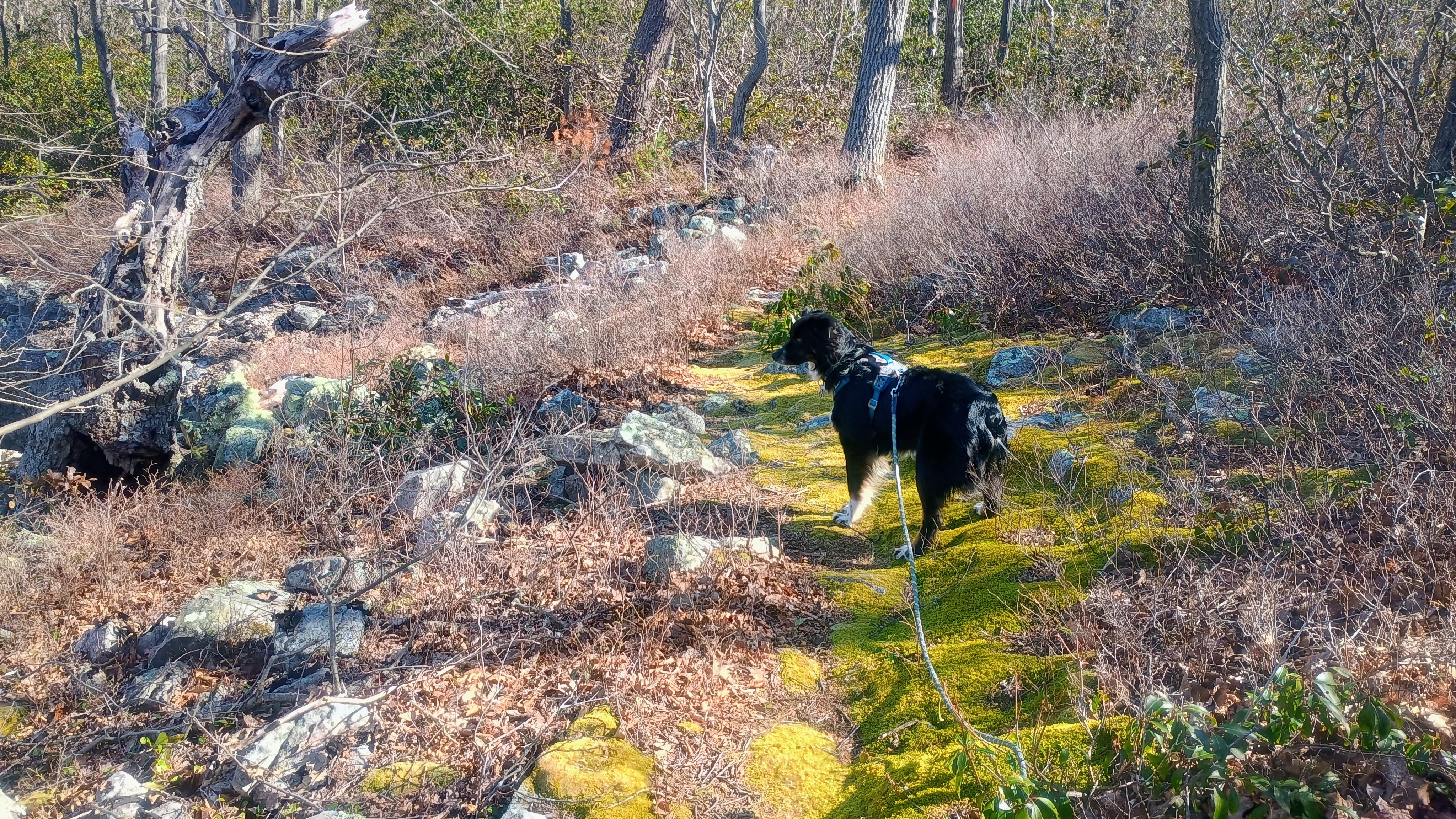
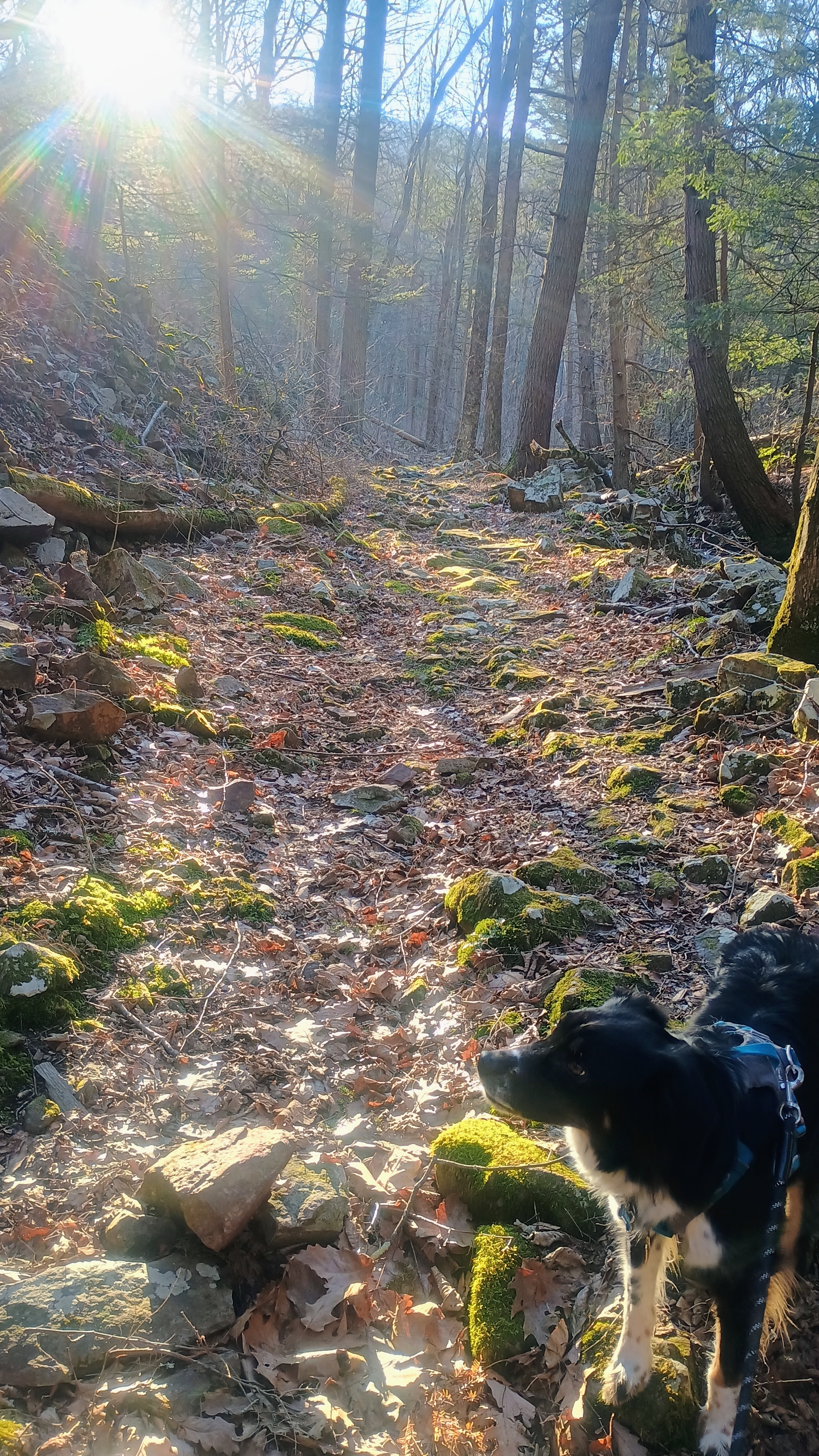
Luna looking up the trail.
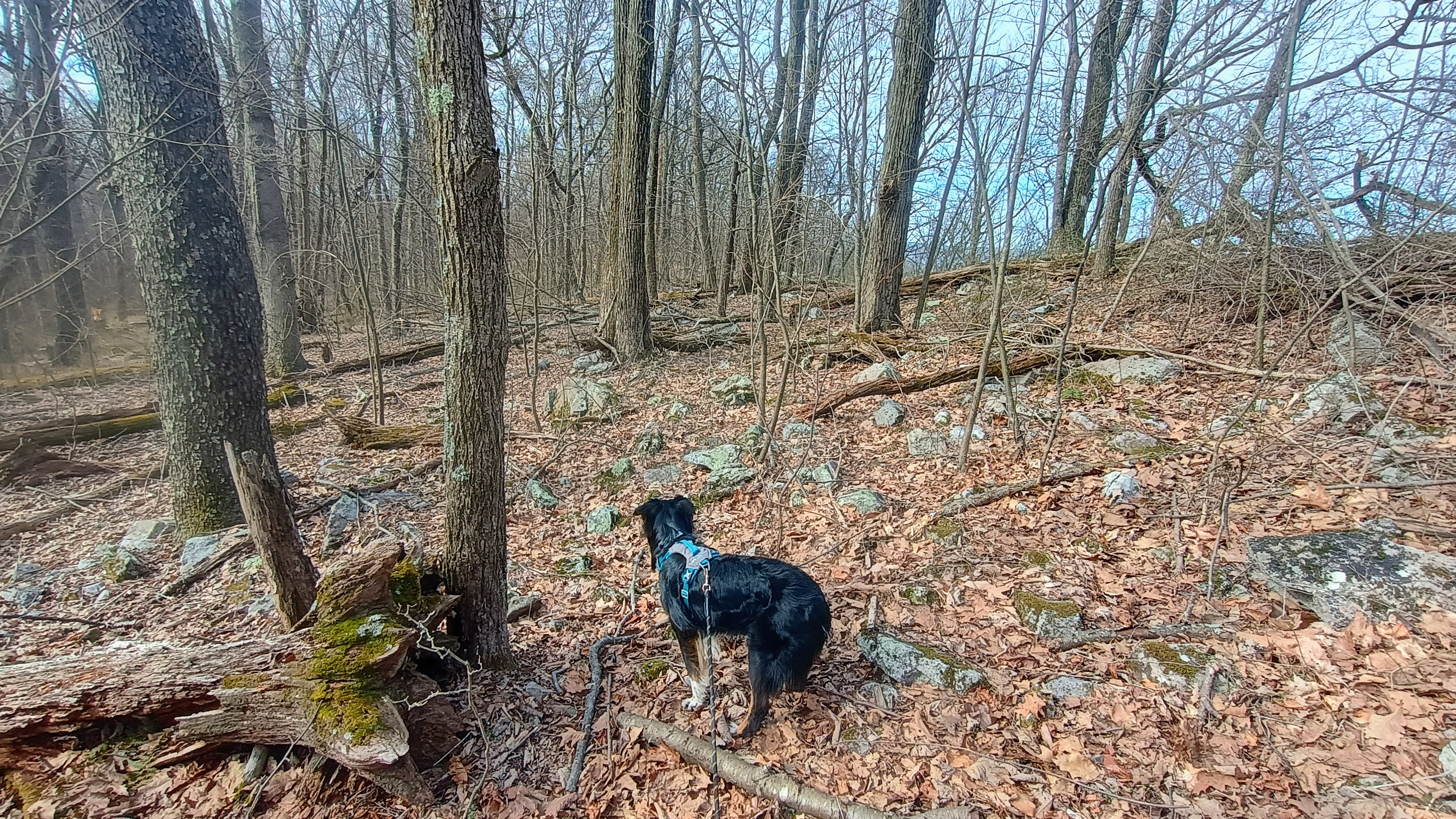
Heading off trail along the rocky ridge.
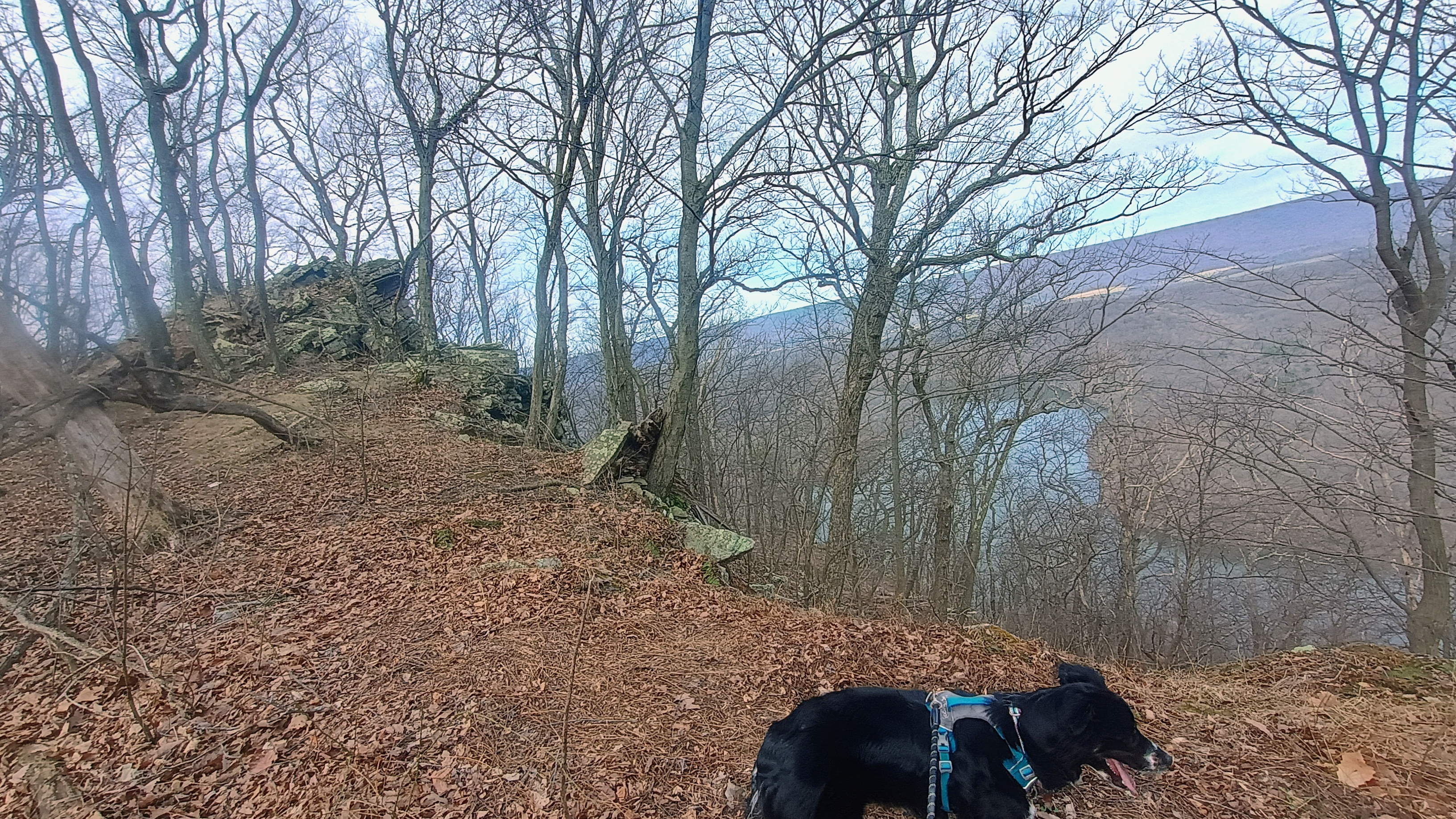
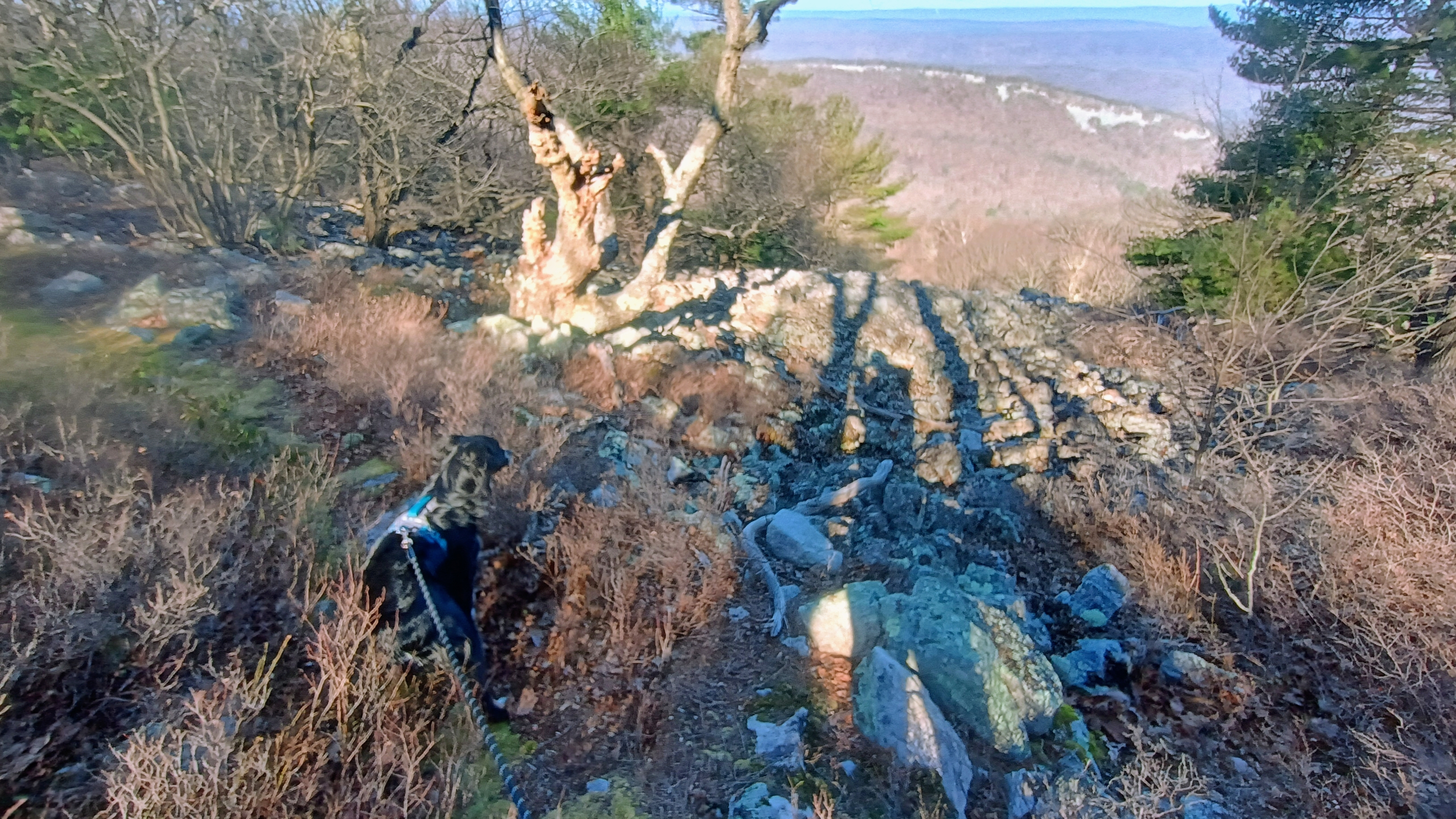
Along the way are some nice views of Raystown Lake.
Getting close to the AZ here.

It had started to warm up to about 40F once we made it to my operating point. Luna was quite tuckered, so she laid down after eating a snack and let me get going with the radio stuff. After working F4WBN and EA1AER on 15m, I switched to 40m and stayed there the rest of the activation, since it was still fairly early in the day. I really do enjoy working the locals!
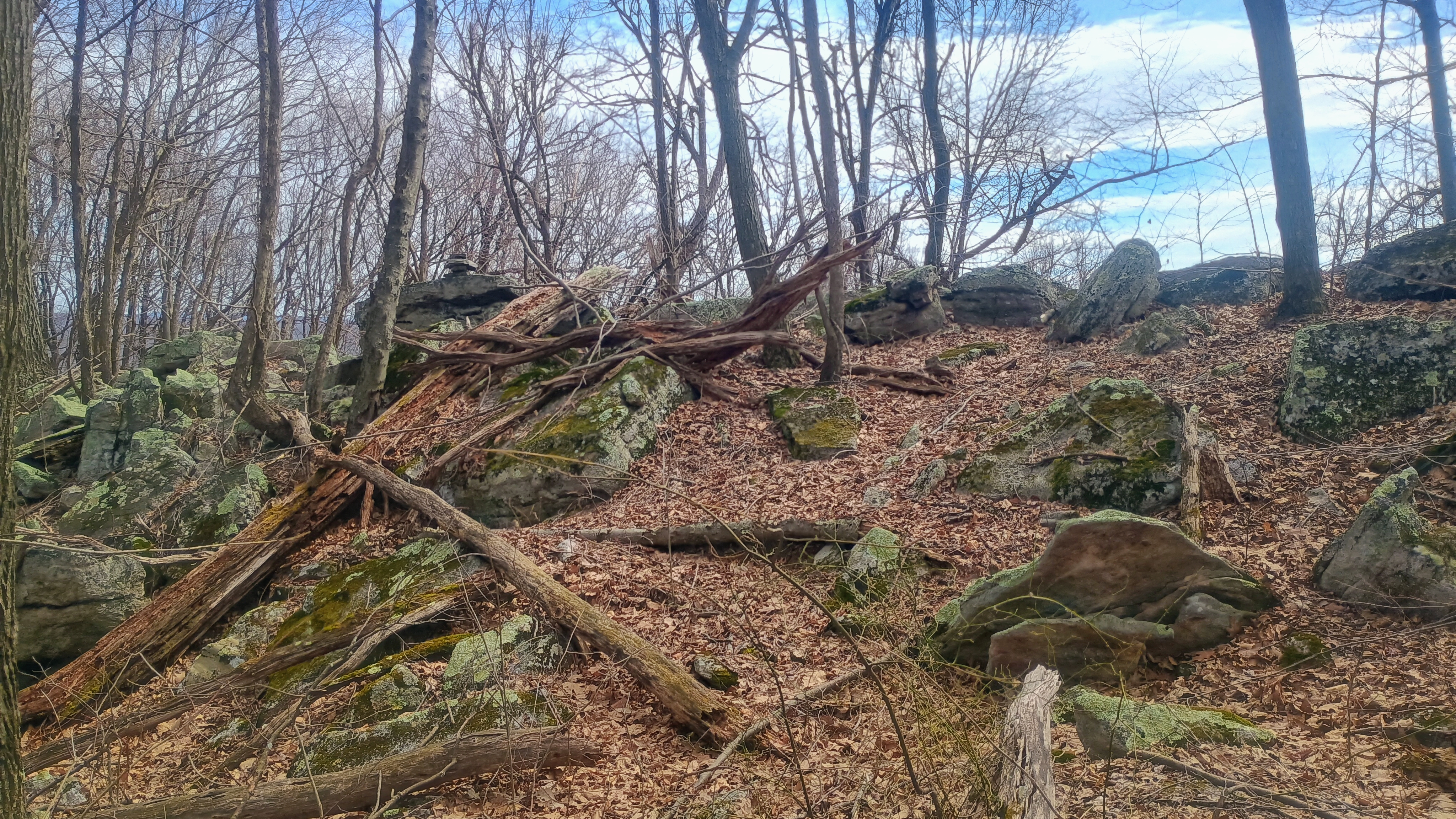
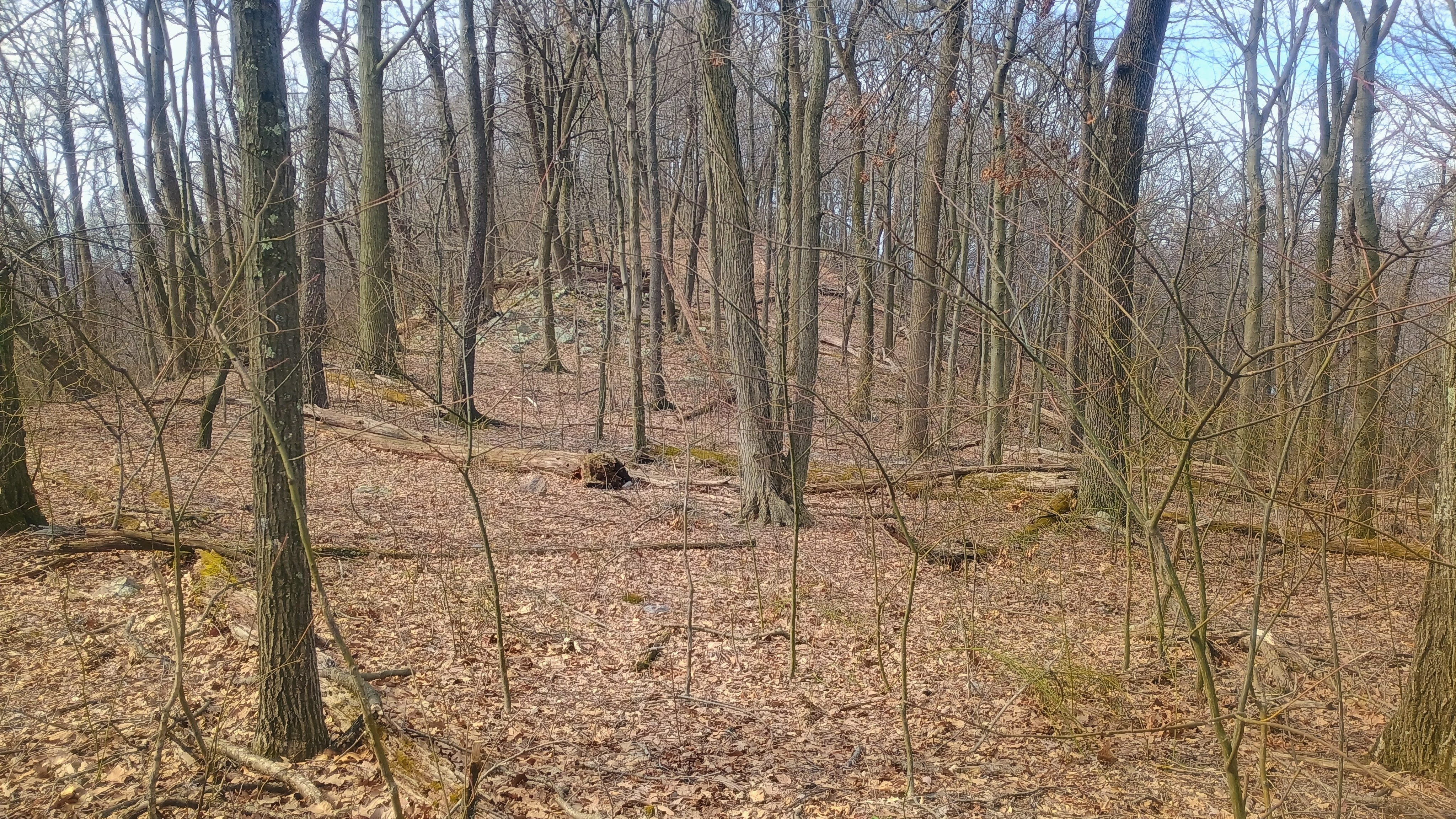
View of the activation zone.

I got three S2S: Ron NR3E on W4K/EC-001 Black Mountain, the high point of KY, Roy WN3F on W4V/SH-012 Old Rag, a famous hike in Shenandoah, and Eric VA2EO on VE2/ES-014 in QC. Luna, no doubt emboldened by her success following our track back from Backlog Mountain the day before, took the lead on our return hike. She lost our trail almost immediately (or perhaps decided to follow the scent of some woodland critter), but I am glad we had my GPS as backup.
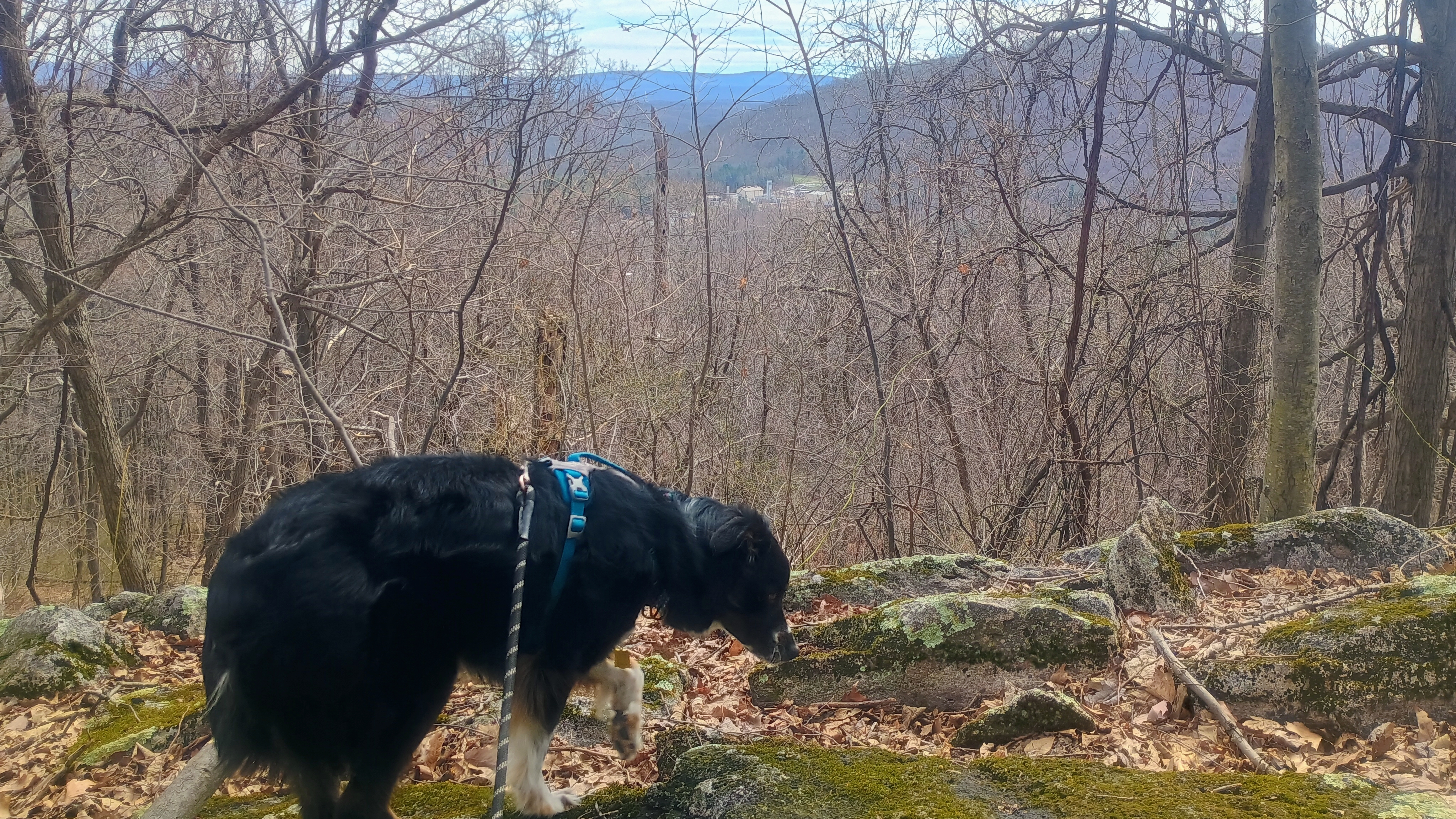
Luna’s trying to sniff out our path for the return hike, but I think this track was a little long for her nose. That, or she started tracking a chipmunk instead.

There aren’t many SOTA first activation candidates like this left in PA. The entire approach and AZ are on public lands, and only real obstacle is to bushwhack a while. It was nice to get this one activated for W3 SOTA, and for Luna to notch her first FA as well!
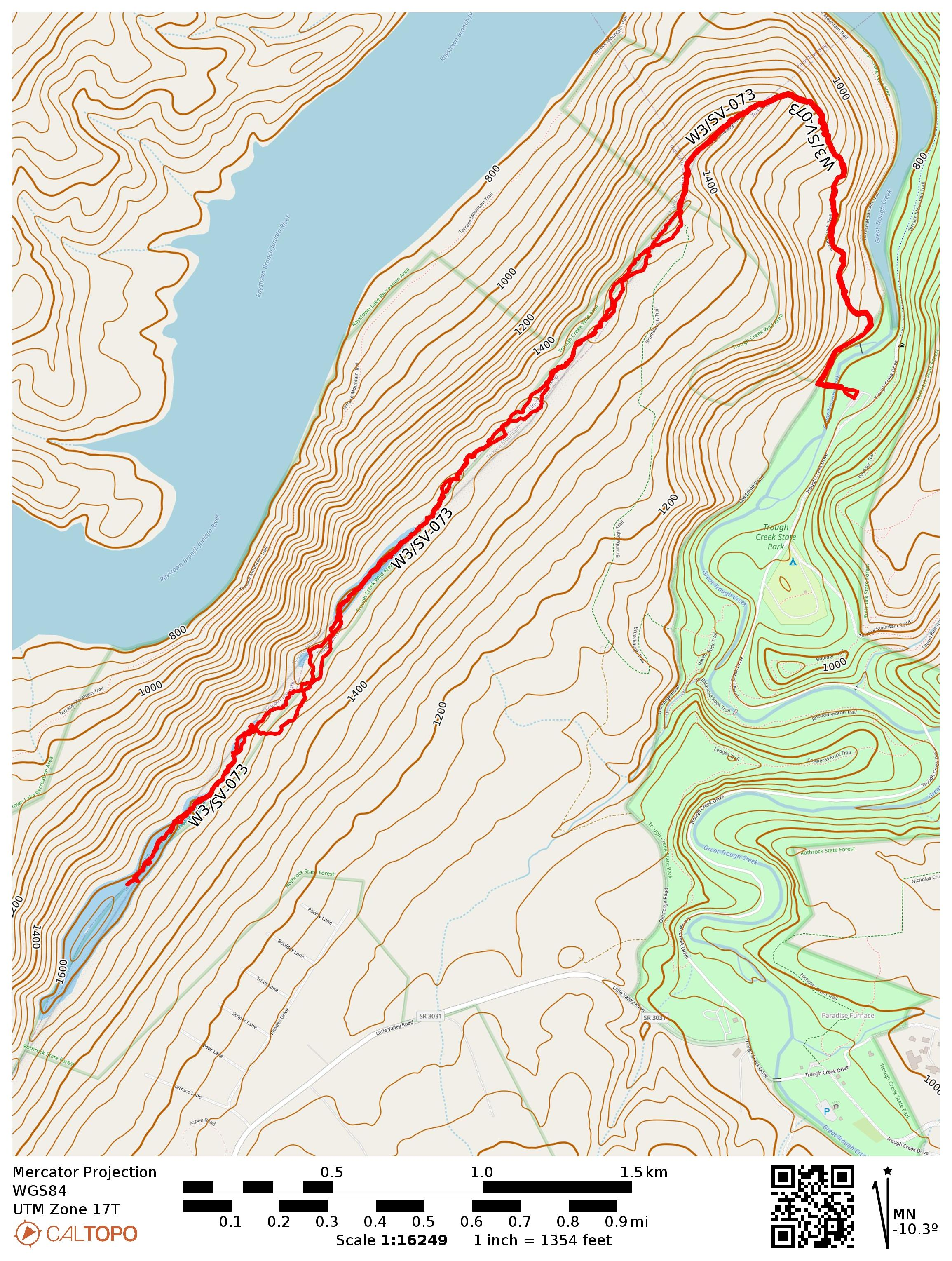
  • Trailhead: 40.3308,-78.12498 : Parking Area 5 in Trough Creek State Park
  • Maps: [AA3TZ SOTA] [Trough Creek State Park Map]
  • Route: Brumbaugh Trail to Terrace Mountain ridge, then ridgeline bushwhack for 2 miles. Nearly 7.0 miles RT.
  • POTA: Rothrock State Forest (US-5474)
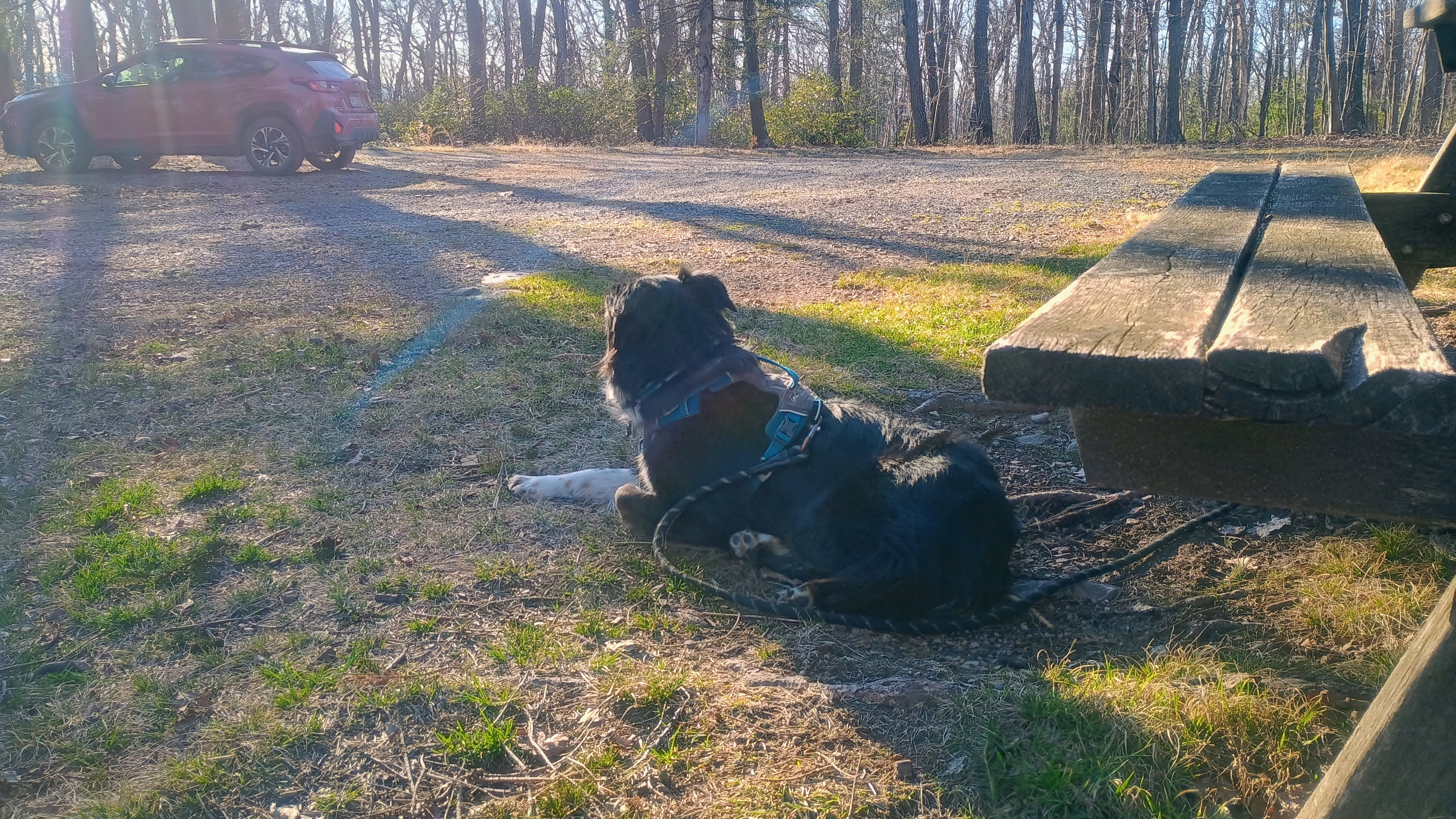
W3/SV-024 Shade Mtn

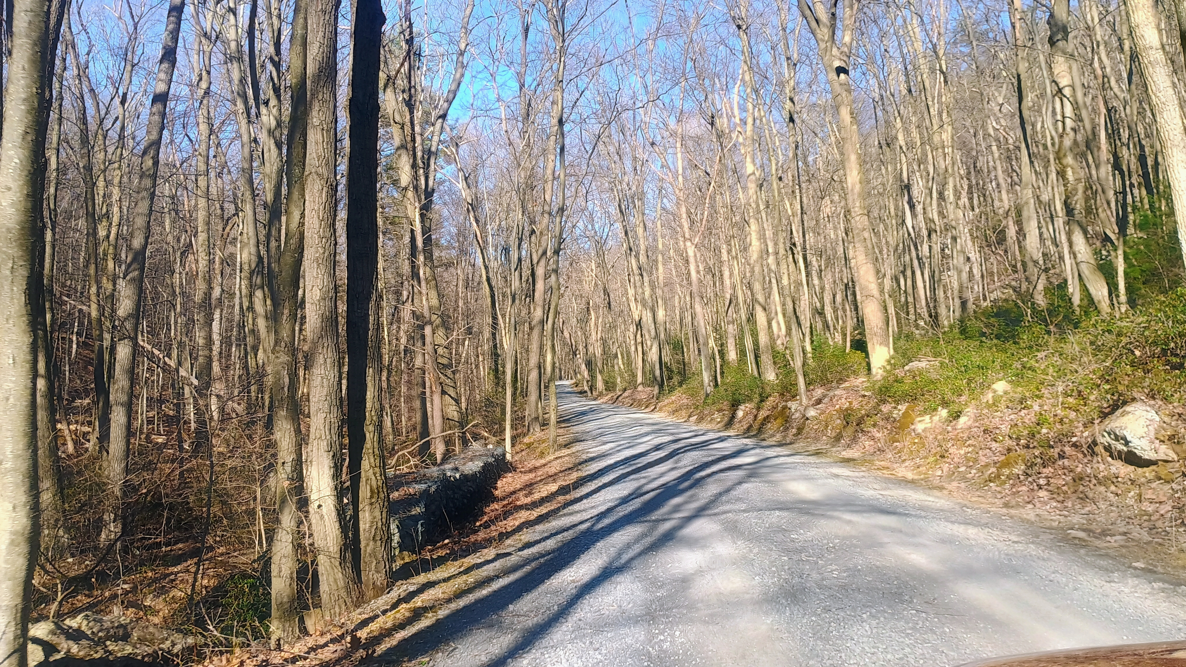
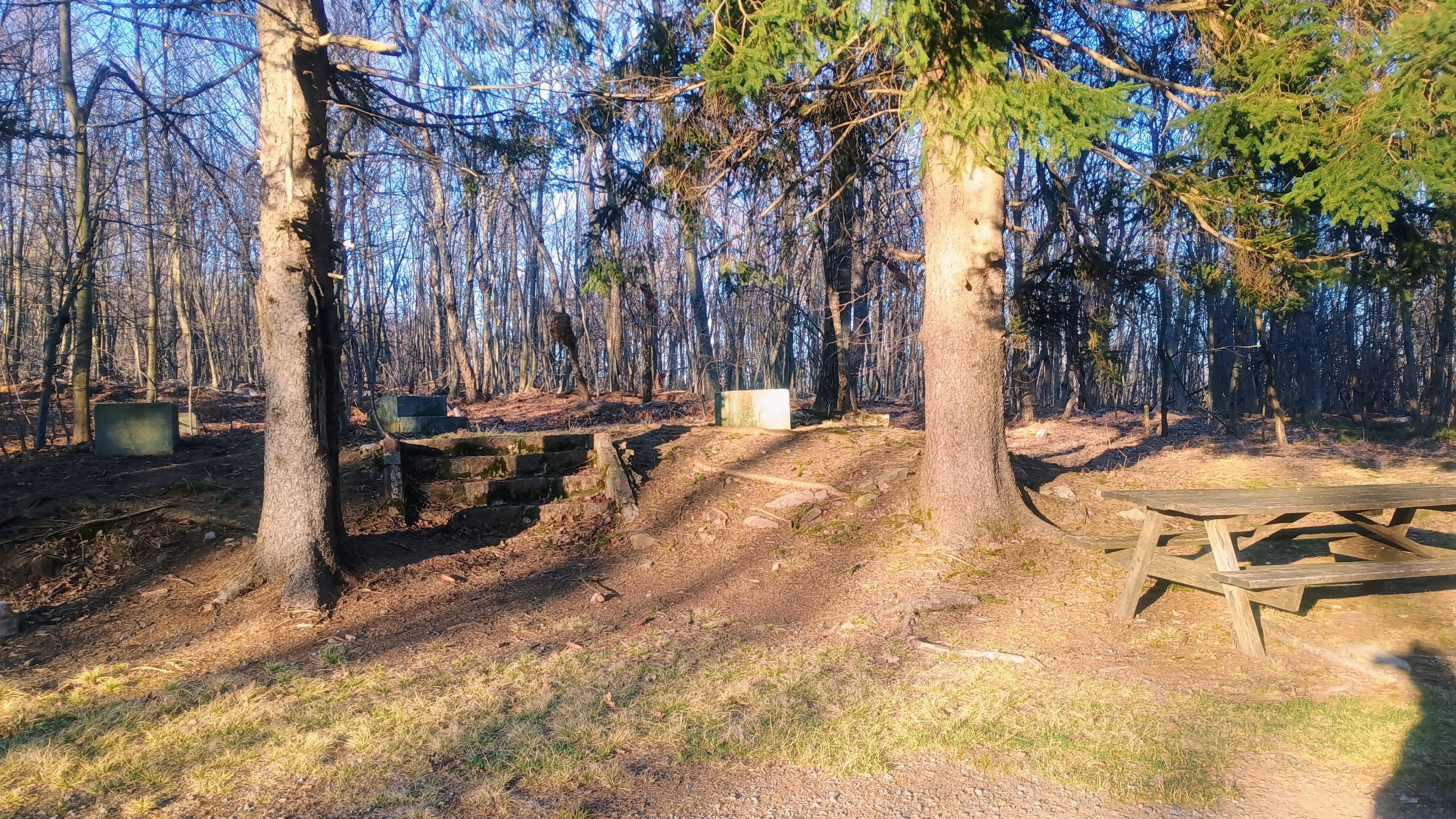
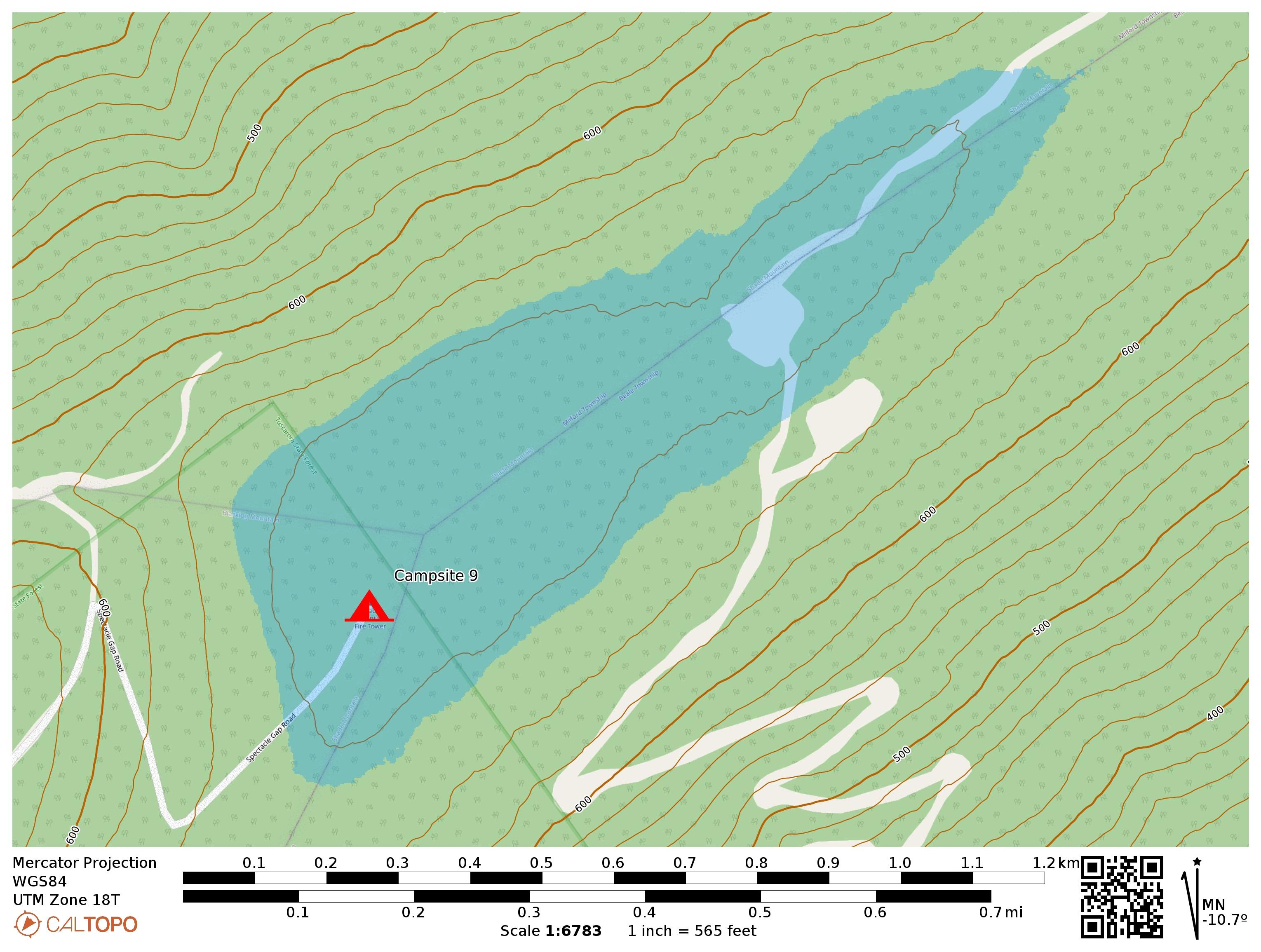
To wrap up our long day of SOTA in and around Tuscarora State Park, we continued northeast along Licking Creek Drive until turning onto Spectacle Gap Road. All of these forest roads were in good shape but were gravel. Spectacle Gap climbs up to the ridge of Shade Mountain, and the road eventually ends at Campsite 9, a primitive campsite that is within this SOTA activation zone at the very boundary of the state forest. Here there is a picnic bench, fire pit, and remnants of a fire tower removed in the mid-90s, but not many other amenities at this campsite. The primitive spot can be booked for just $10 a night. It might be a fun place to work a PA QSO party from in future years, but it does get windy and potentially quite cold in October.

Climbing Spectacle Gap Road

The sun was setting and Luna was exhausted. We just checked out the campsite and then I set up and settled in for an enjoyable activation, working 42 QSOs, including a S2S with the dynamic duo of DJ WW7D and Josh WU7H on 15m (W7W/CW-065). I also notably worked (just barely) JH1MXV on 15m, all the way in Gunma Prefecture, Japan! The vibes here were just great!

Luna enjoying the evening sun.
Tuscarora State Forest campsite 9. The concrete pads are where the firetower once stood.

We were pretty pooped from the long day and stopped by Juniata Brewing Company back in Huntington for a celebratory dinner. Luna got a free (and large) dog biscuit!

  • Trailhead: 40.51361, -77.55951 : Tuscarora State Forest campsite 9
  • Map: [Tuscarora State Forest]
  • Route: Drive-on via Spectacle Gap Road
  • POTA: US-5479, Tuscarora State Forest

W3/SV-028 Blacklog Mtn

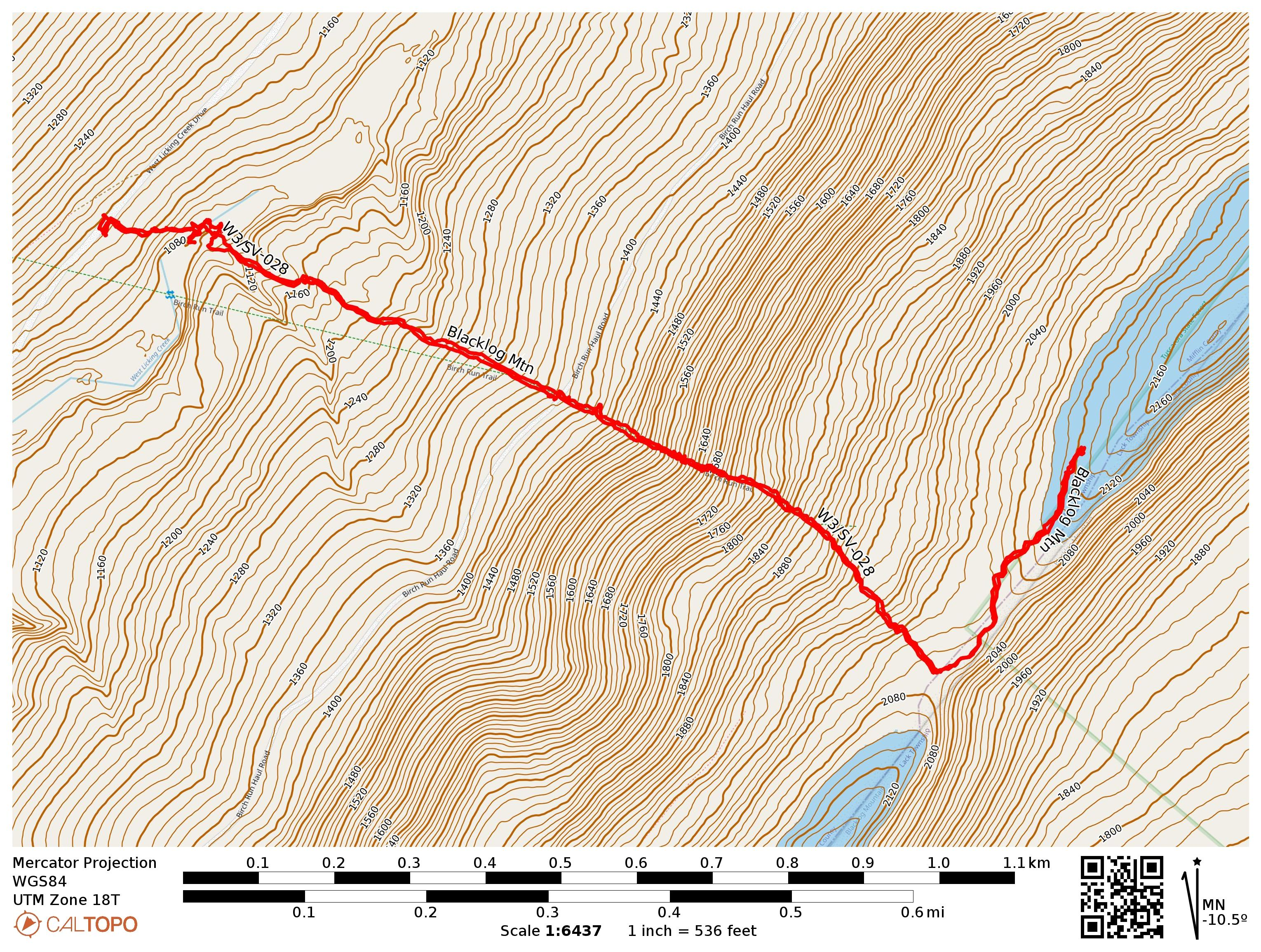
After wrapping our previous long hike and activation in Jacks Narrows, Luna and I headed into Tuscarora State Forest to do a few more new summits. I parked on Licking Creek Drive, where there is the option to hike either west to Blue Mountain W3/SV-030 or east to Blacklog Mtn W3/SV-028, two parallel ridges that the forest road runs between. We opted for the latter.

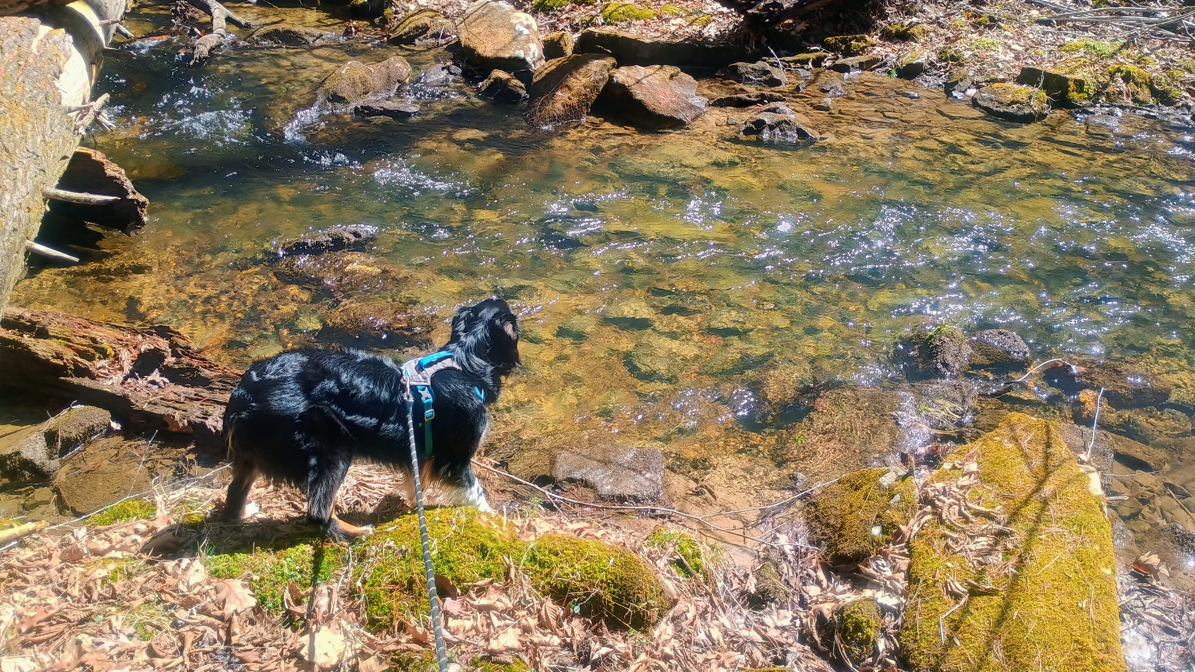
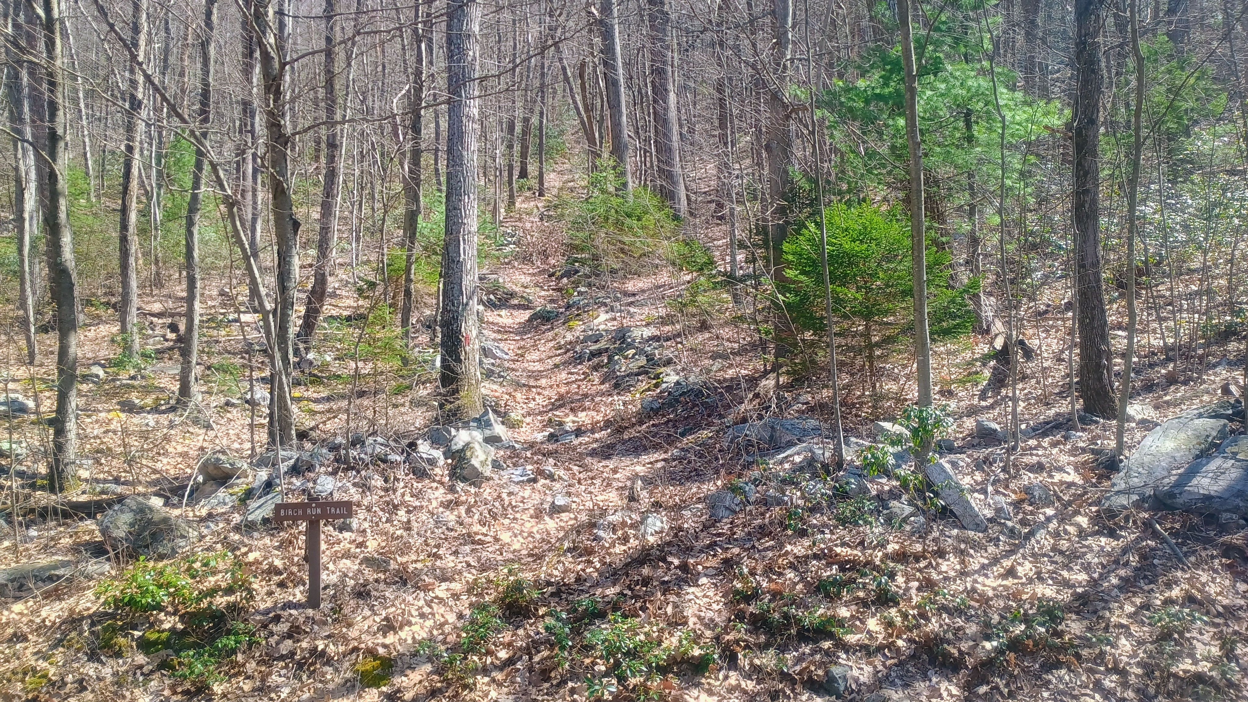
We followed the red-blazed Birch Run Trail, and shortly into the hike was a bridgeless creek crossing, about 10 feet across. The water level was just over a foot deep on this early spring day, so that’s something to be aware of when going for this hike.

Luna takes in Licking Creek.

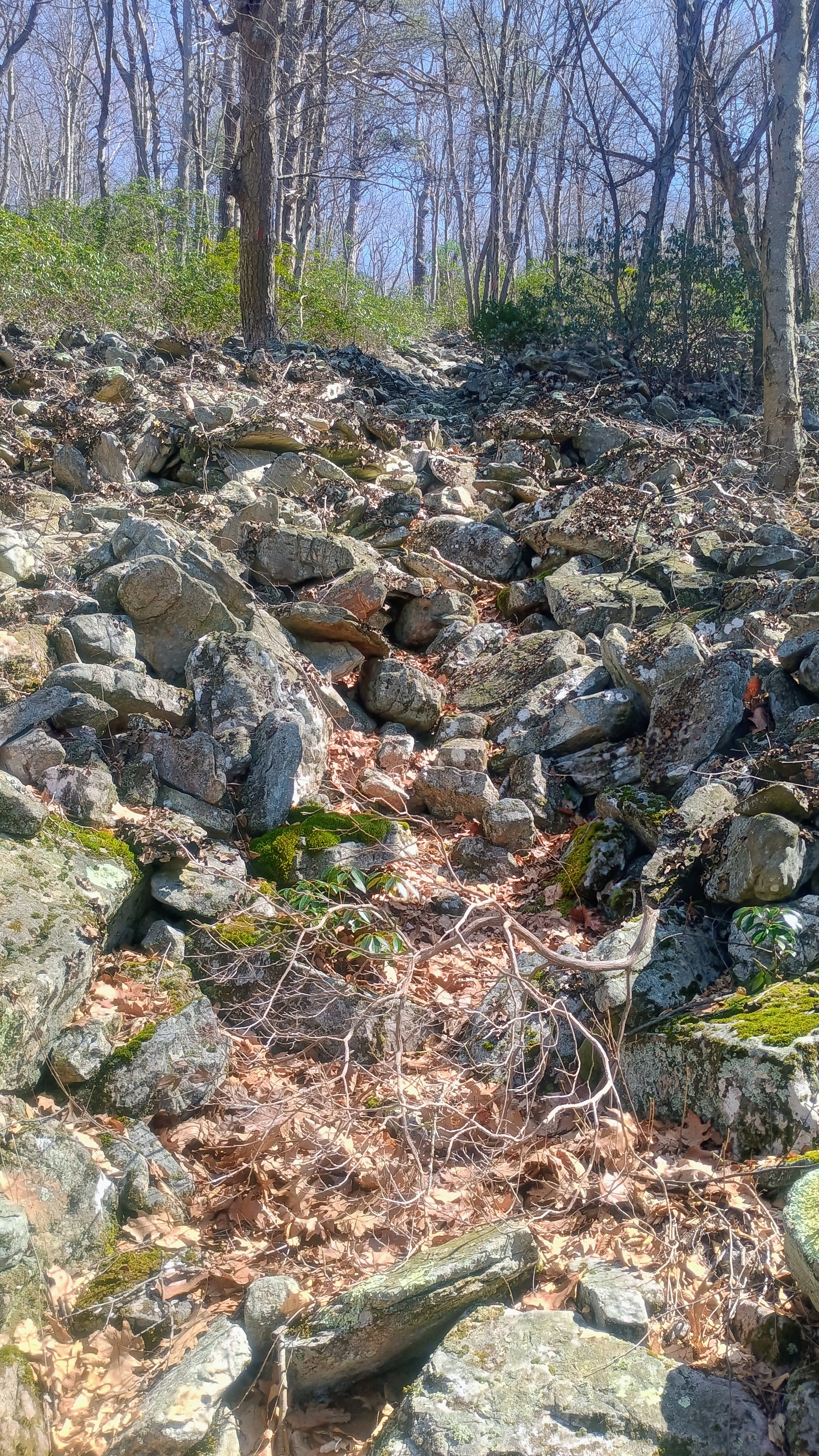
Past the creek was a gentle climb to a small clearing and another trail sign, and here the trail gets much steeper and rockier, with a classic PA boulder field at some point. We continued up to the ridge and then left the trail for a final short, open bushwhack up along the ridge into the activation zone.

And it gets steeper!
And then rockier.

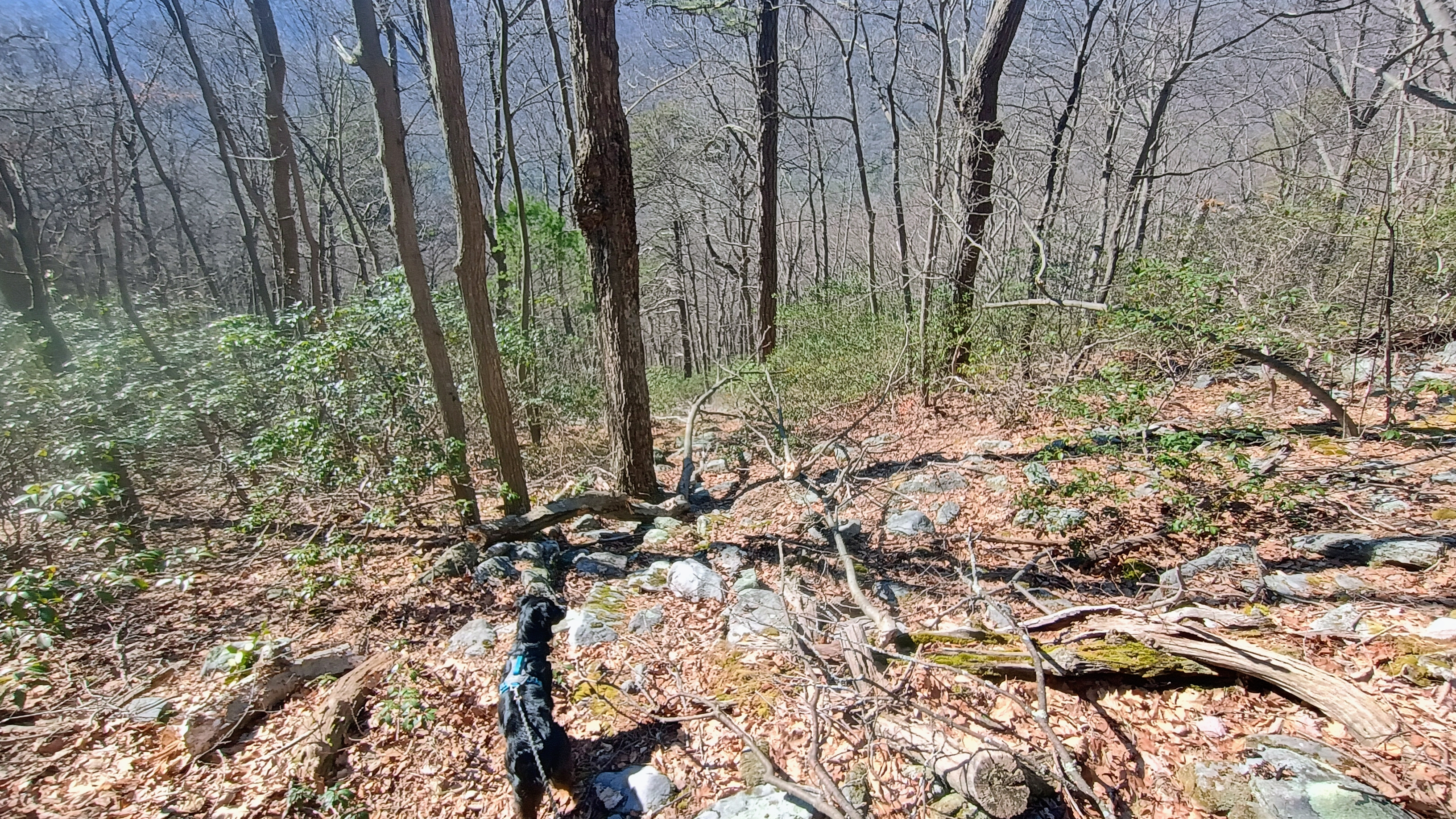
There are plenty of trees around and got my contacts. By this point, Luna understood the routine and sat calmly, letting me work for about 40 minutes to get 36 QSOs. On the way back, Luna had a big dog moment, sniffing out our own track and excitedly guiding us right back to the trail. Our path back followed exactly our route there, according to the GPS, so she did a great job!

Luna sniffing out our track for the return path.

At the end of this hike, I decided to check out the semi-famous “Campsite 009,” the site of W3/SV-024 Shade Mountain. I’ll have to come back here for Blue Mountain some time.

  • Trailhead: 40.39025, -77.75942 : by Licking Creek Road
  • Map:  [AA3TZ SOTA] [Tuscarora State Forest]
  • Route: 2.5 mile RT hike along Birch Run Trail, with a short ridgeline bushwhack; ~1000 feet of total elevation
  • POTA: US-5479, Tuscarora State Forest

W3/SV-025 Jacks Mtn 2184

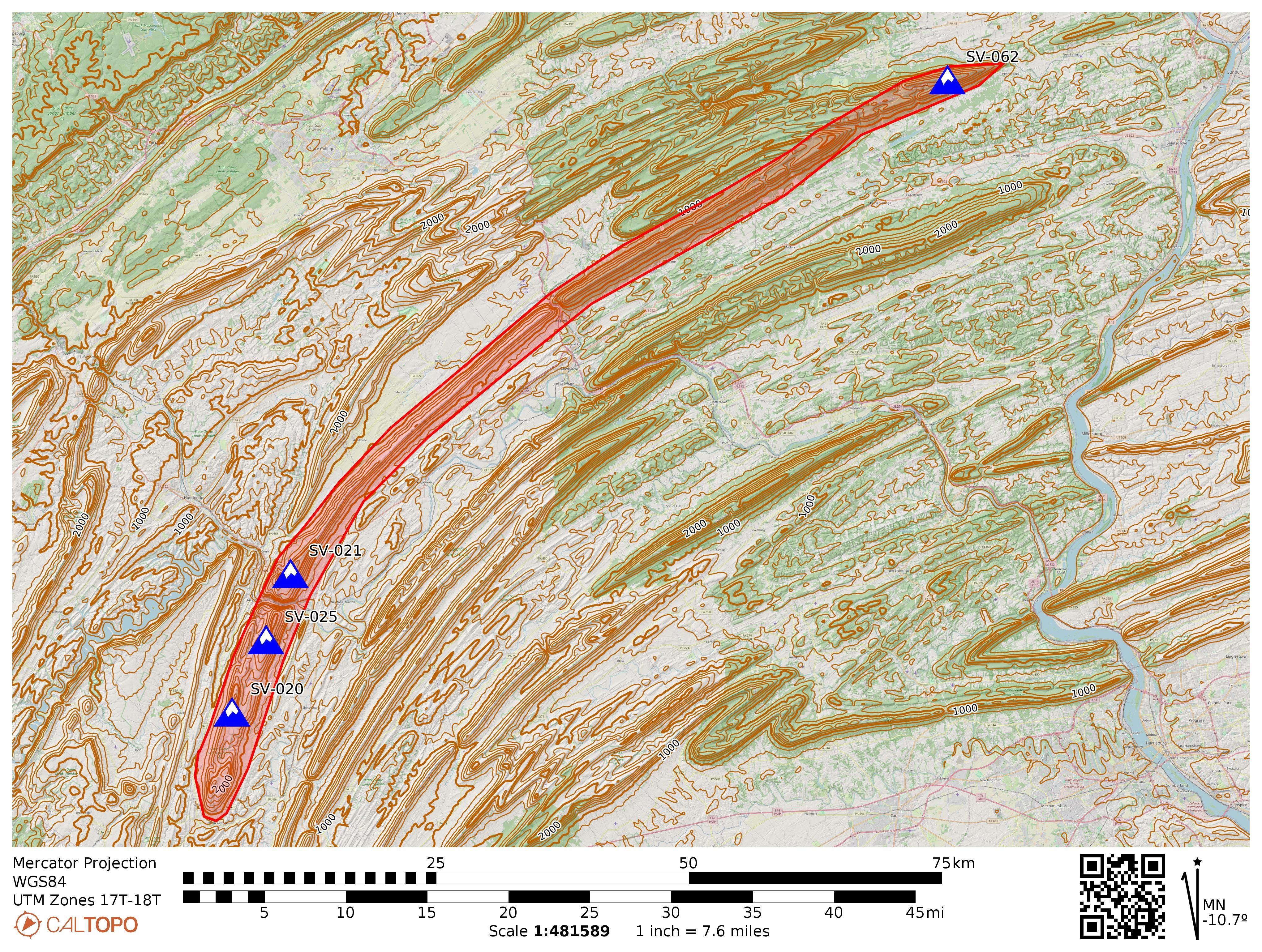
Jacks Mountain is a long and narrow ridge that spans Huntingdon, Mifflin, Snyder, and Union counties. The mountain is named for Jack Armstrong, a pioneer and fur trader from the 18th century who confiscated a horse from his debtor Mushemeelin, a member of the Delaware who later tracked Armstrong down and killed him for retribution. There are a four sites that meet the SOTA 150m prominence requirements along Jacks Mountain:

Jacks Mountain and its SOTA peaks. Jacks Narrows is between SV-021 and SV-025, following the Juniata River.

At several points, rivers have cut through the ridge, resulting in steep gorges. The Juniata River has eroded through Jacks Mountain between Mapleton and Mt Union, resulting in the steepest gorge in the state of PA: Jacks Narrows. The northern side of this glen features the Thousand Steps hike on the Standing Stone Trail, which I had used to activate W3/SV-021 Jacks Mtn 2315 last autumn on one of the most scenic hikes I’ve encountered in the state, with a dramatic gain of elevation climbing from the Juniata River valley all the way to the ridgeline.

Following the Standing Stone Trail south from Jacks Narrows leads to W3/SV-025, Jacks Mtn 2184. This is a classic “central PA SOTA usual suspects” activation, with only three logged activations before mine: N2GBR, NK8Q, and W3QP, which usually indicates a long hike and/or gnarly bushwhack ahead! Thankfully, it was just the former.

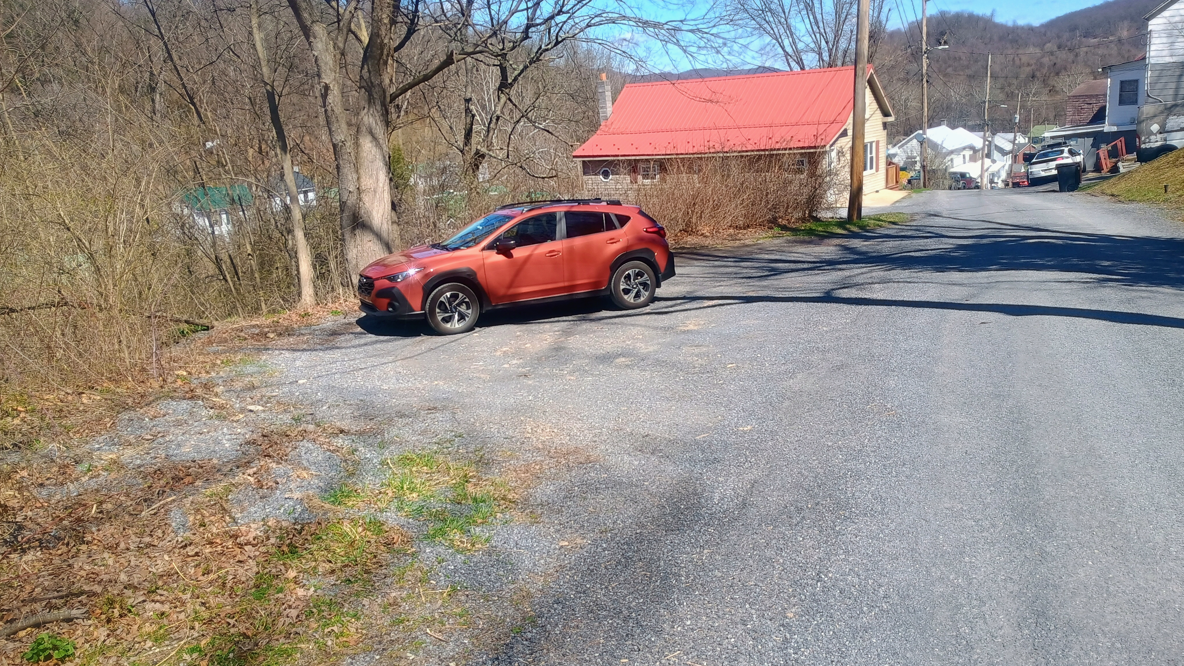
I had Luna along with me and this was the first of three SOTA activations we completed during this late March day. This one would require a roughly 6.5 mi RT hike, and I wanted to tire her out so she would be obliged to rest while I got my QSOs. I parked in Mapleton, but instead of parking at the SST designated spot in Riverside Park on the north shore of the Juniata, I drove to the south edge of town and parked by the side of Hill Road at a gravel spot (coordinates: 40.38953,-77.9422), cutting at least a mile from the RT hike. I left a note on my car that declared my intent to hike on the SST with my contact info in case parking here was frowned upon, but nobody seemed bothered.

My parking spot at 40.38953, -77.9422, just in front of a No Outlet sign.

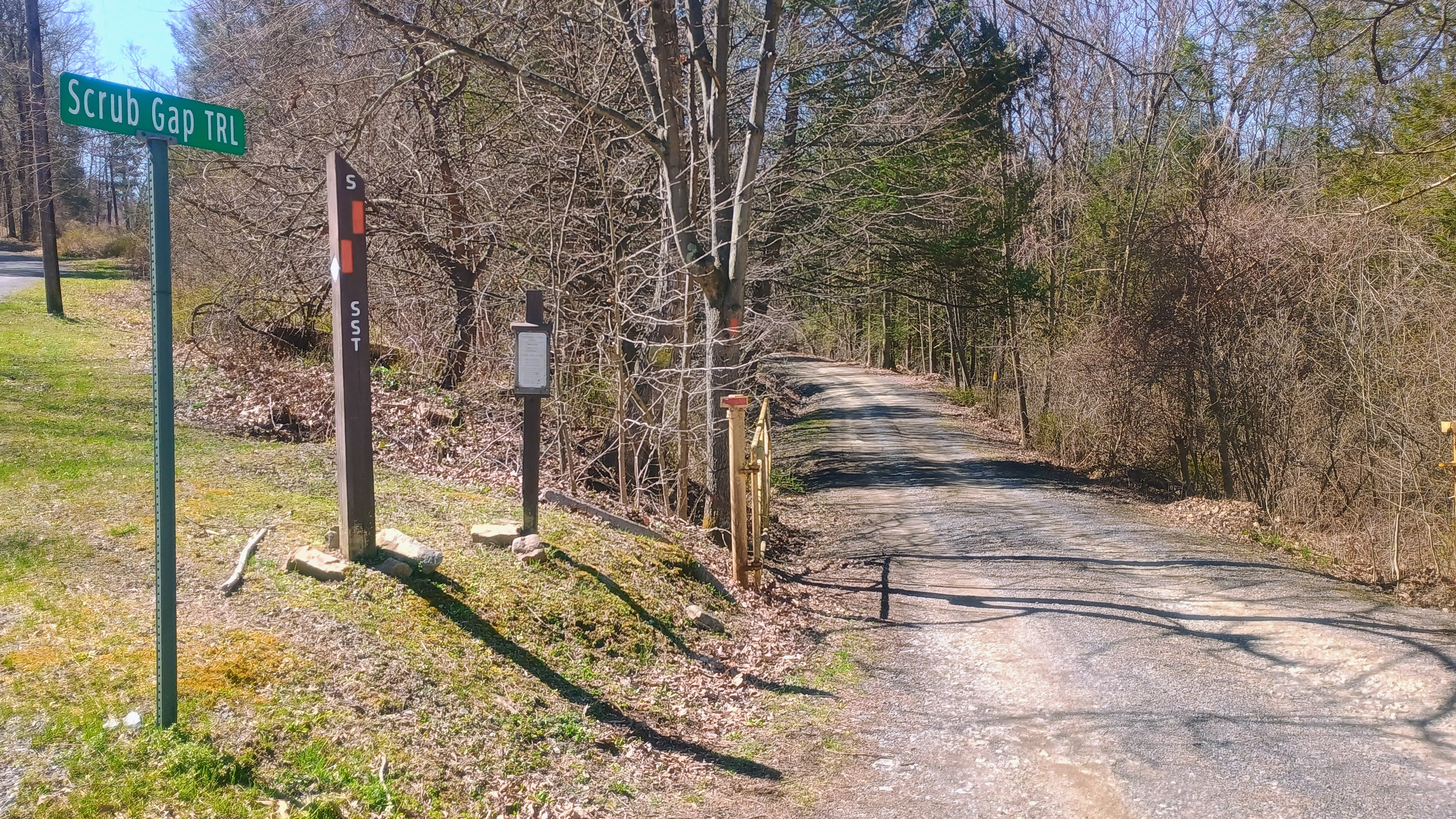
Luna and I walked along Hill Road, passing the last few houses in this neighborhood before we found the trailhead to Scrub Gap Trail. This is all part of the Standing Stone Trail, so orange blazes mark the path the entire way.

Scrub Gap Trail is gated. The gate was closed when I started the hike, but it was opened when I had finished. Be wary of potential traffic driving to the reservoir along the route, though I missed seeing any vehicles on the road.

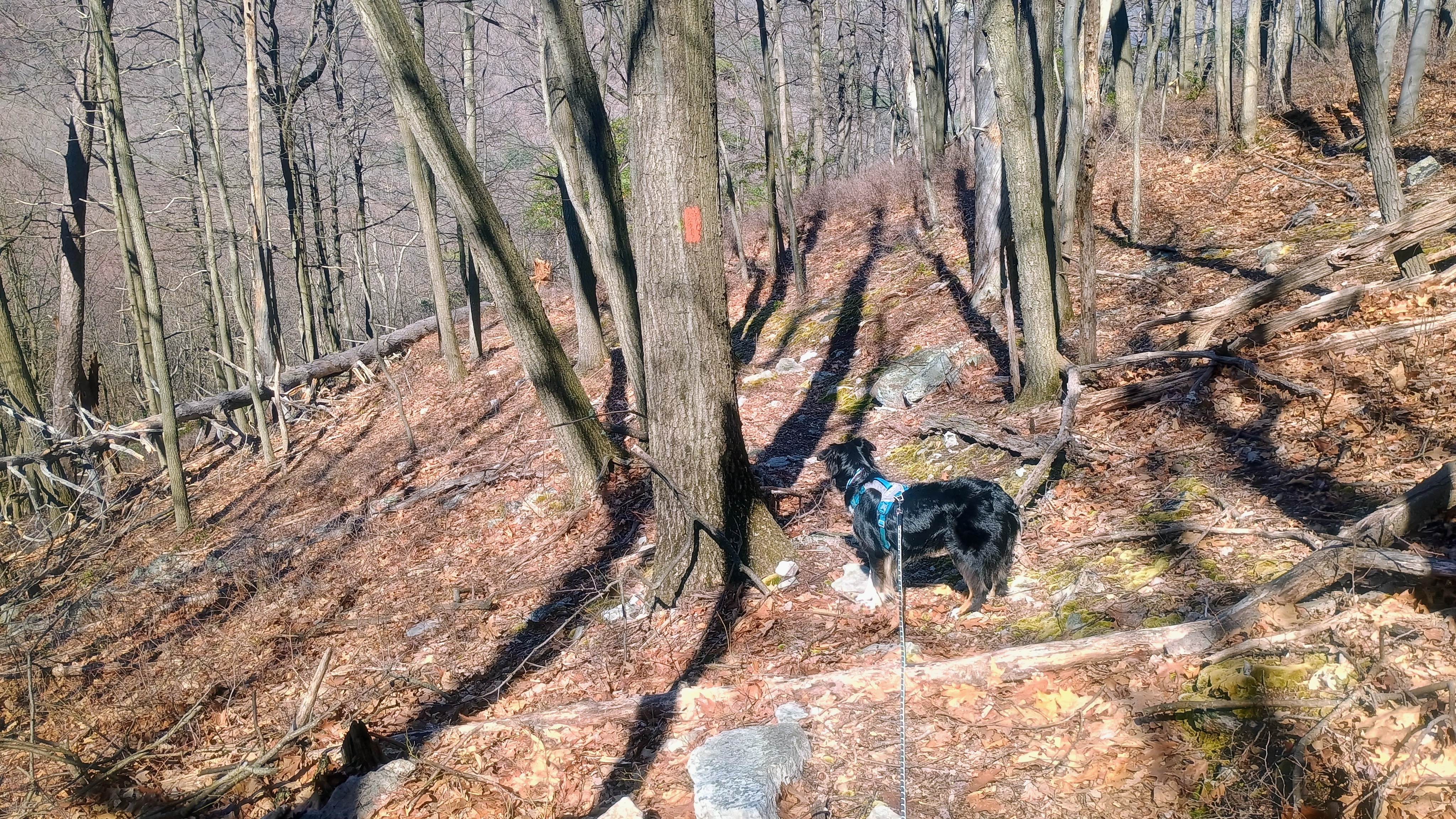
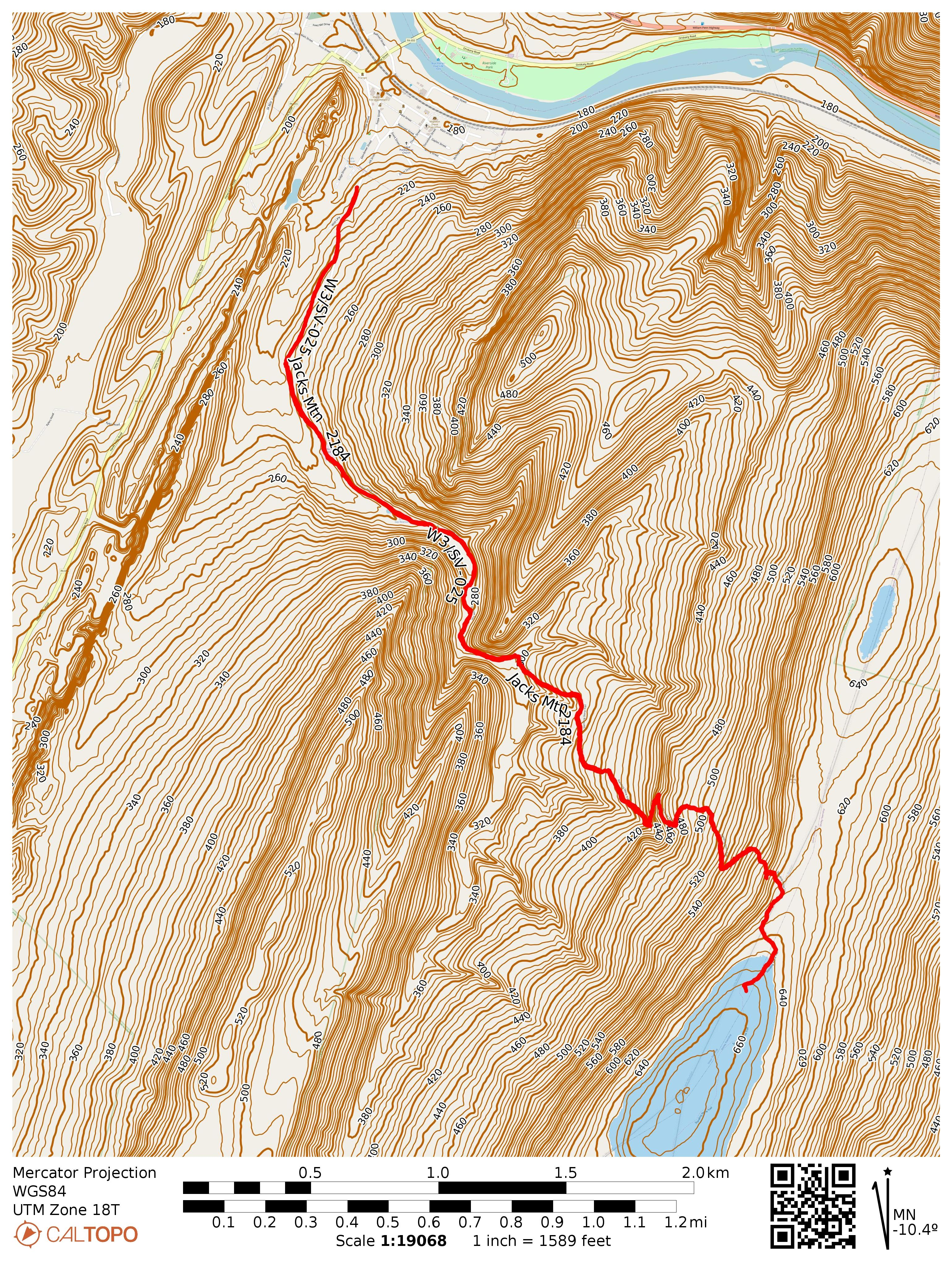
This hike up the southern side of Jacks Narrows was dramatic and varied, just not quite as scenic as the Thousand Hikes trail. After passing a water reservoir, the trail climbs through woods, mosses, and some vistas. This hike is a gradual climb, 1500 feet of gain over 3 miles. I did stop a bit short of the summit itself, as I was within the AZ with a more open forest to operate in at ~2130 feet ASL.

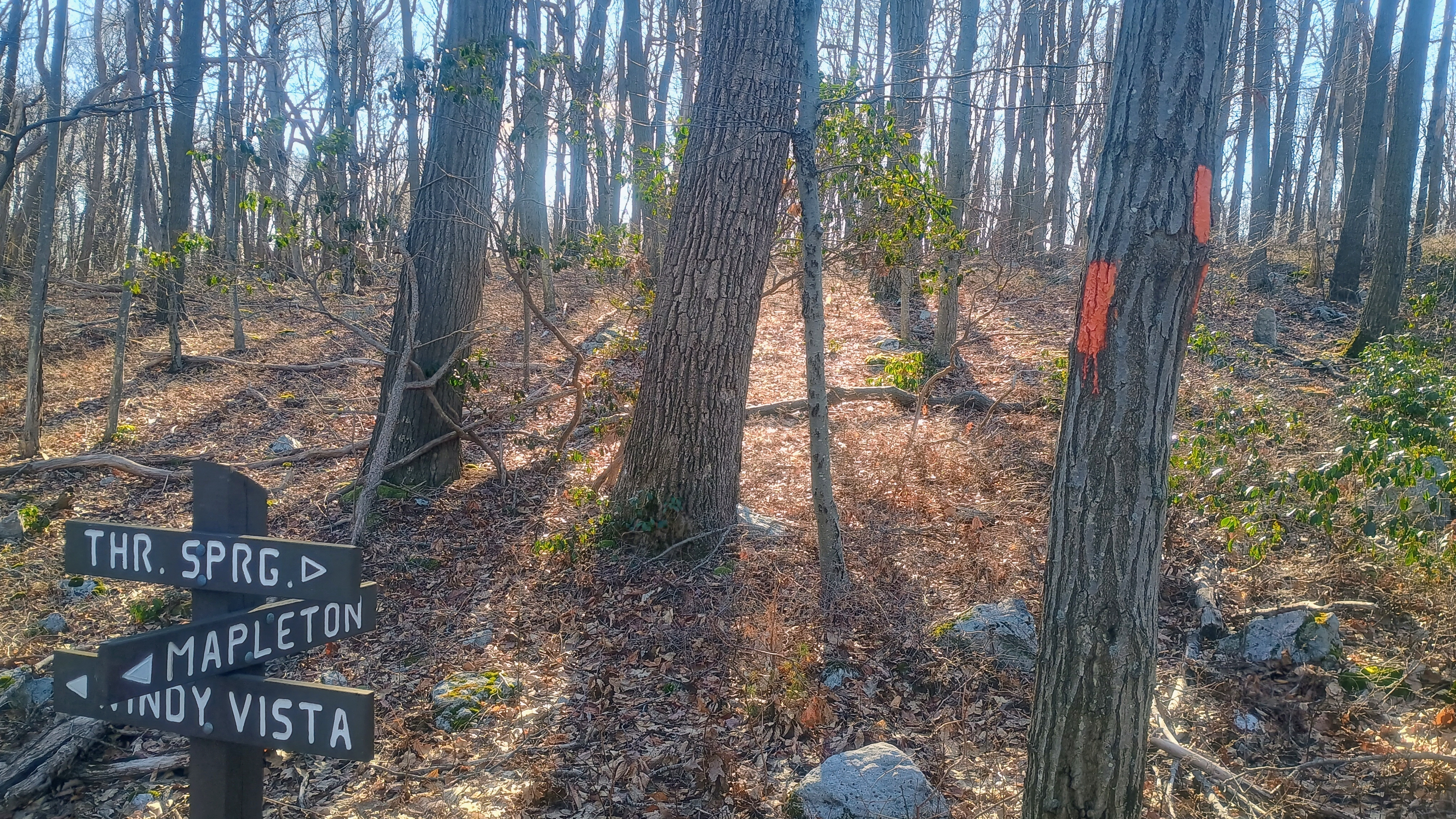
Close to the AZ is this trail junction. I did not go to Windy Vista, as the AZ was a bit further along the direction of Three Springs, at least 10 miles south of this point. As of June 2026, a lean-to shelter was built in Three Springs for SST through hikers as part of an Eagle Scout project.
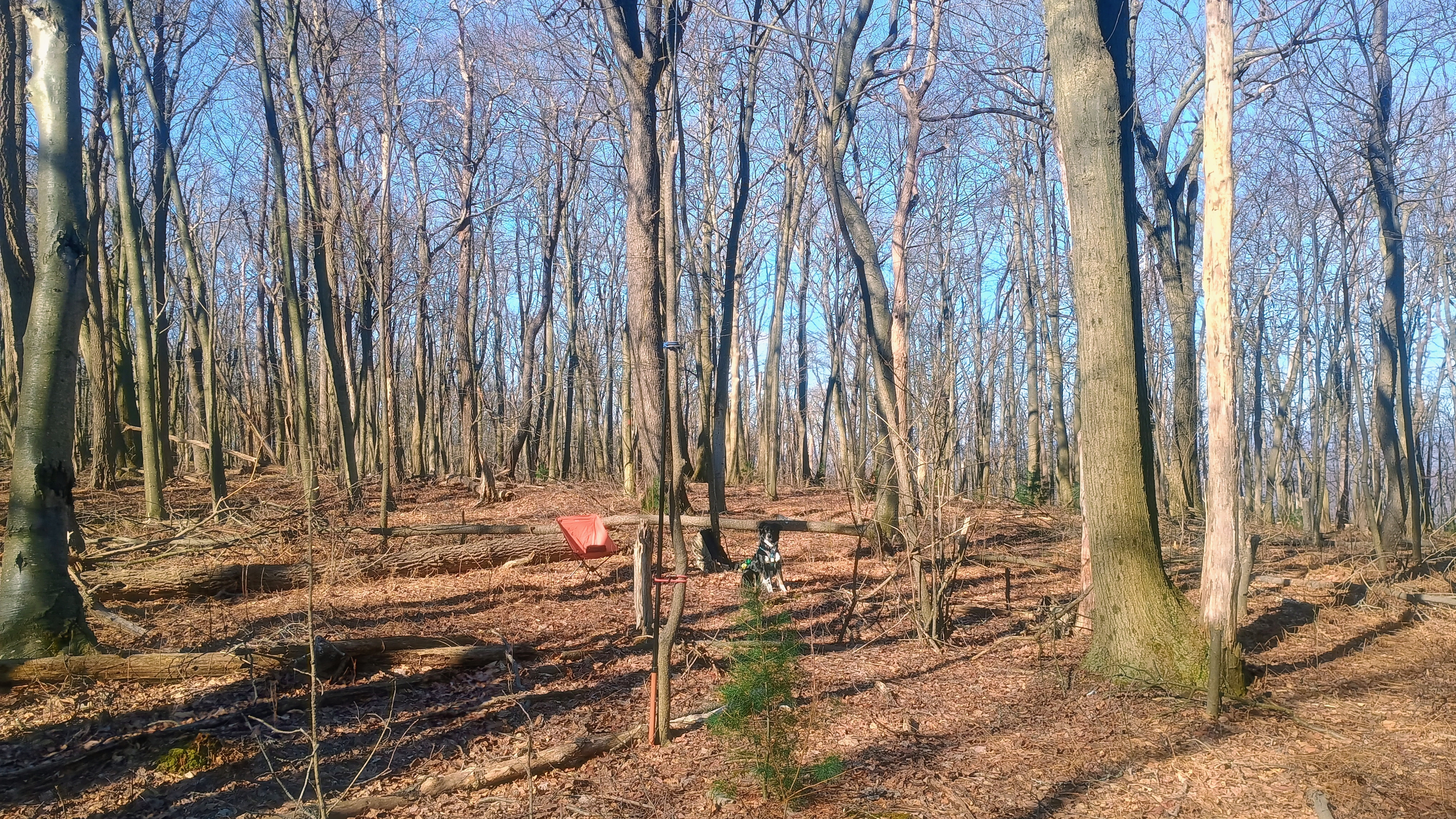
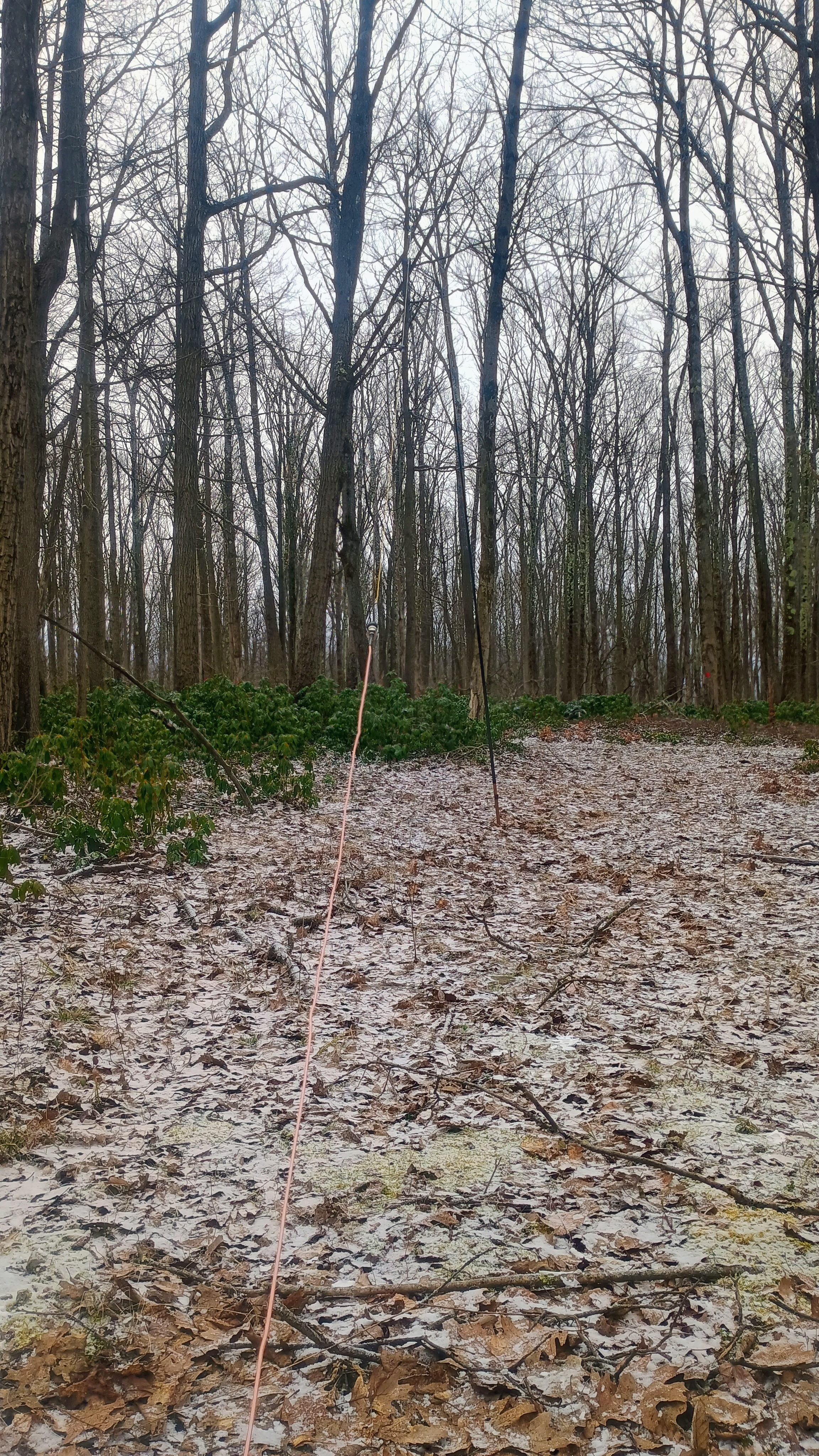
I elected to operate in these open woods just off trail in the AZ. Luna watched carefully as I set up the wire.

Propagation was great this morning! I worked a bunch of locals on 40m, including NK8Q, VA2EO, KC1MXB, and N3HXZ, a small selection of my usual chasers. Then I got good amount of DX on 15m: HB9BHW, HB0CGA, SM5LNE, DL6MST, IN3KLQ, DK4DE, DL1AX, and PA5KM! After 40 minutes of patient waiting, Luna let me know it was time to go, so we started the long hike back. Two more summits were ahead of us today!

  • Trailhead: 40.38953,-77.9422 : Roadside gravel spot of off Hill Road in Mapleton
  • Map:  [AA3TZ SOTA] [SST Map 5 – Jacks Narrows]
  • Route: 6.5 mile RT hike along the Standing Stone Trail, Scrub Gap portion; ~1500 feet of total elevation
  • POTA: US-8770, PA 71 State Game Land

W3/PW-006 Clearfield County HP

On March 13, 2026, I activated the four of the five DuBois Quintet SOTAs, and this was the third one of the day. The highpoint of Clearfield County is the highest SOTA site of the DBQ standing at 2411 feet ASL. You wouldn’t know it as it’s there are many short hikes that will get you to the broad activation zone. Since I ultimately did 4 SOTA peaks in one day to maximize the winter bonus, I decided to set up soon after making it into the AZ, another broad plateau with many choices for operating location.

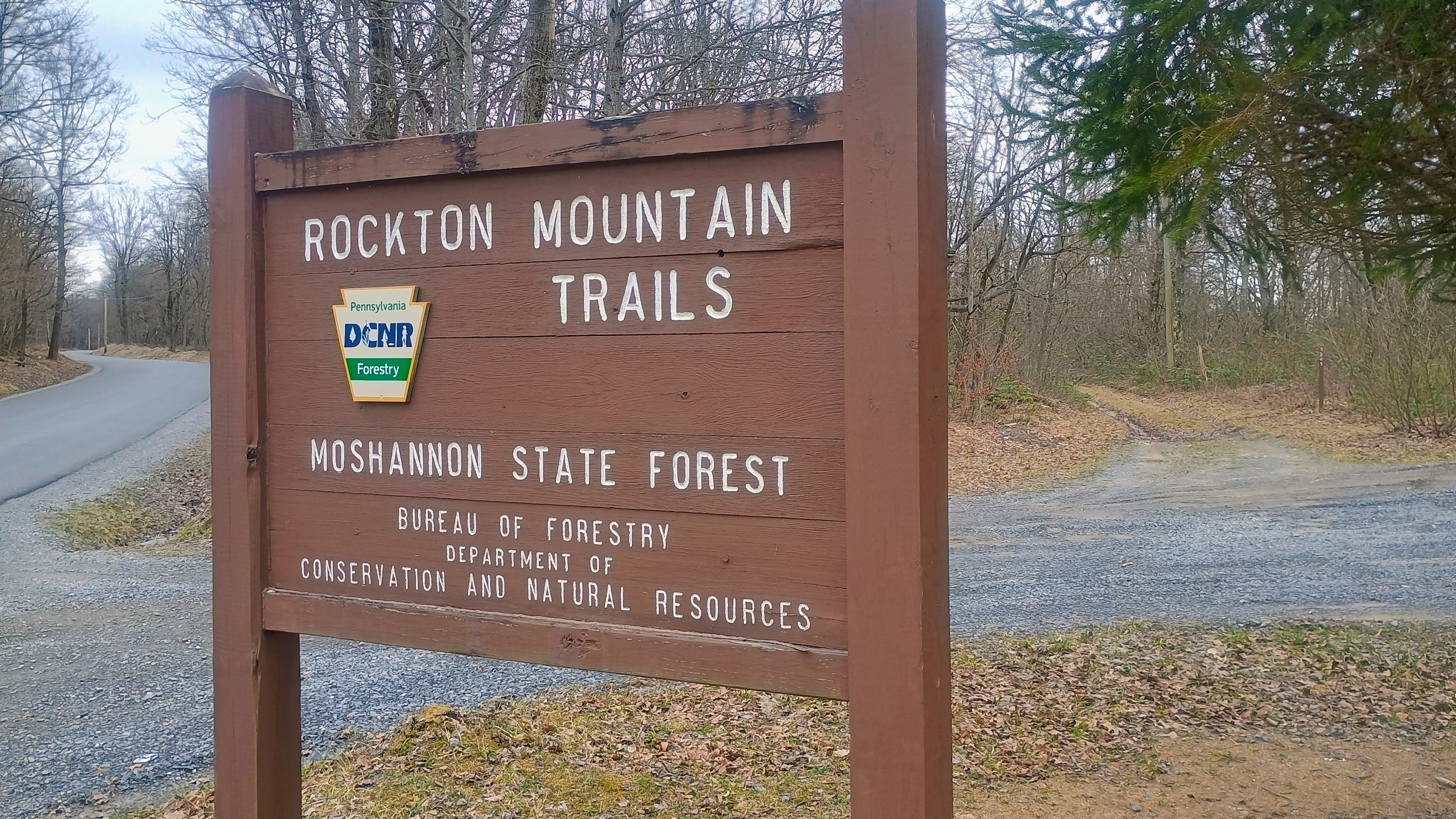
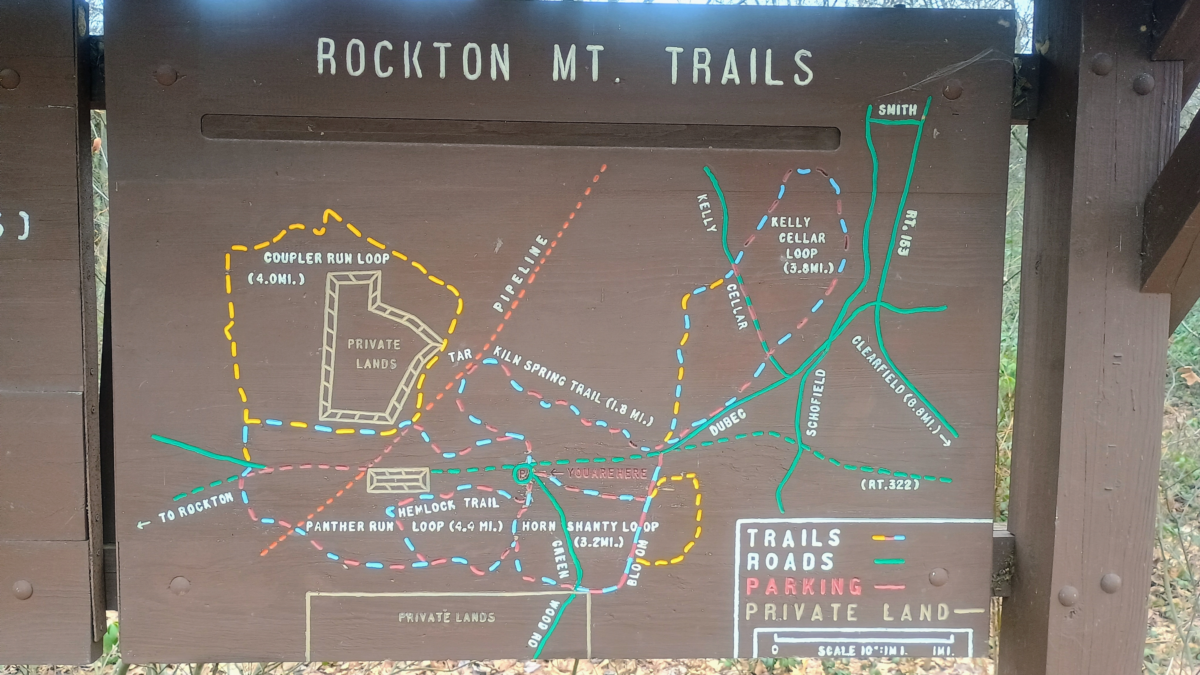
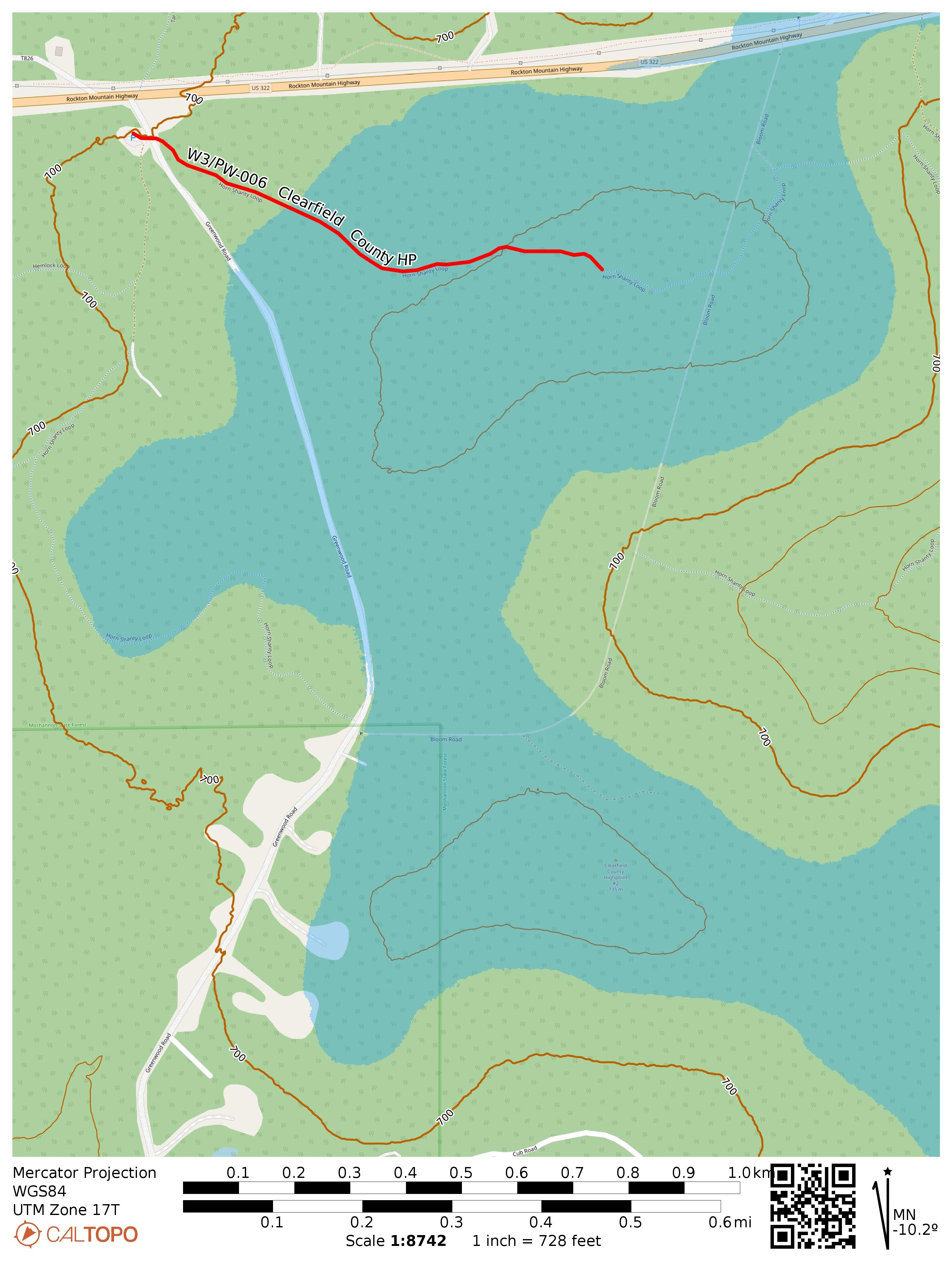
I parked at just south of US-322, at the Rockton Mountain Trails section of Moshannon State Forest. There is a lot of space for parking here and a network of paths for mountain biking, cross-country skiing, and hiking. A painted wooden signpost provides a trail map for the area.

If you’d rather just drive into the AZ, another option is to continue south past the Rockton Trails area and park around 41.06656, -78.57335 to follow Bloom Road to what is labeled Clearfield County Highpoint #2 on my map. Folks on peakbagger will visit this place along with Chestnut Ridge, about 13 miles northeast of this spot, to be sure they’ve stood on the correct high point. Only one of these is in the SOTA DBQ!

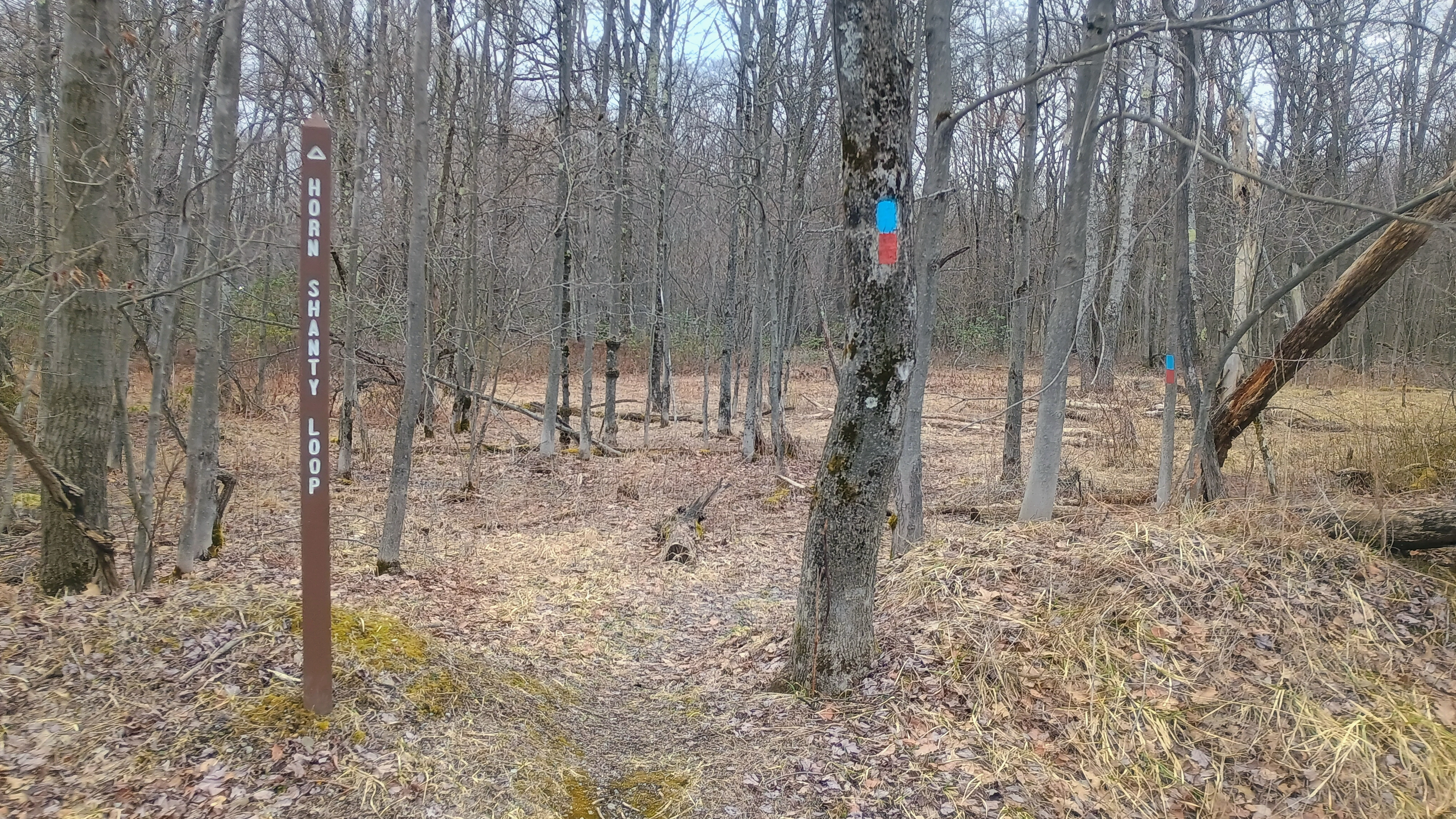
Horn Shanty Loop trailhead.

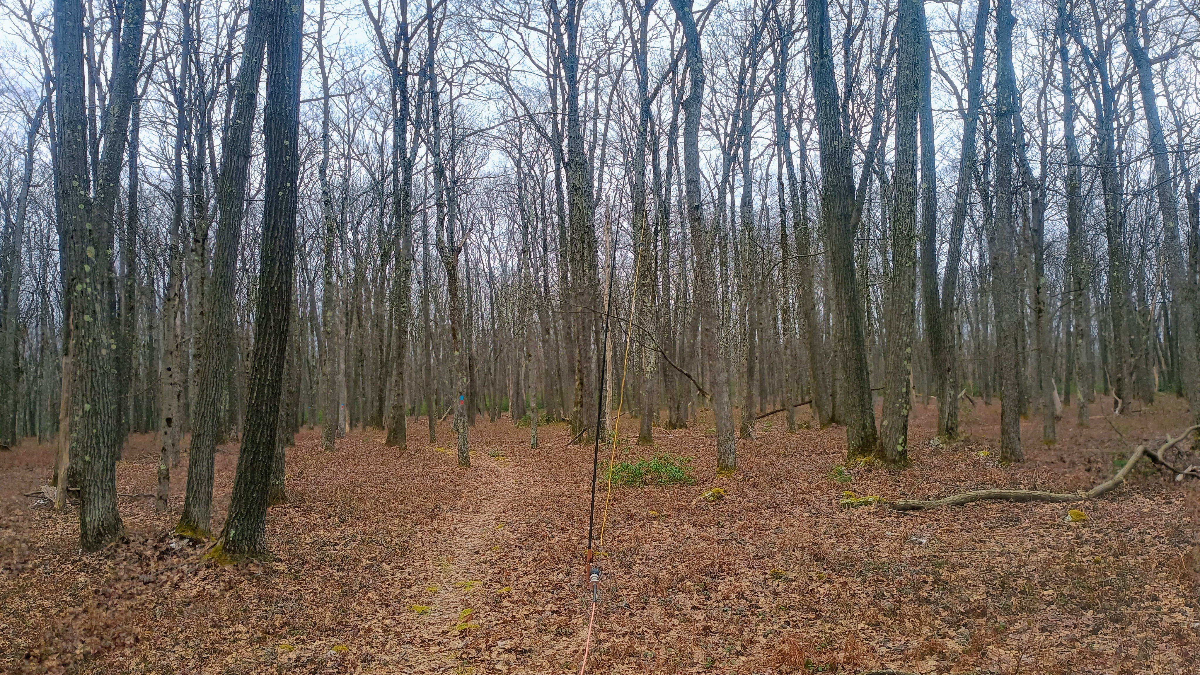
I hiked on along the Horn Shanty Loop, which was marked by red/blue blazes along my entire route. Just a few steps onto the loop, I was in the activation zone, but I kept going along the trail to find a good spot to set up my EFHW wire, about a half mile in. All the snow from earlier was gone now, so it was becoming more pleasant to sit and operate a bit longer. For S2S, I got AE1MS and AE1JS on W4G/NG-025 on 20m, and K6EL on W6/NC-423 (classic El at Mt Davidson) on 15m.

Operating trailside. Nobody was around!

My last stop after this was to revisit DBQ #3, W3/PW-020 2266, an easy drive-on. The one DBQ I did not tackle this day was #5, W3/PW-050 2027 on State Game Land 31. This one requires a roughly 3.0 mi round trip and I didn’t leave quite early enough to have enough March daylight to do this last one.

You can drive down Bloom Road to get closer to the co-county high point. I didn’t bother because short hike-ons are more fun than drive-ons! Just know that the drive-on is definitely an option if you’re trying to squeeze every last minute out of an attempt at a single-day DBQ sweep.

W3/PW-007 Boone Mtn

On March 13, 2026, I activated the four of the five DuBois Quintet SOTAs, and this was the second one of the day, after Jefferson County HP. It’s a drive-on site by a communications tower just outside of Moshannon State Forest, and the 2nd most elevated of the DBQ at 2369 feet ASL.

I had already activated this spot March 2025 when I was first visiting this area to learn more about the DuBois Quintet. I looked up some information about the mountain, and found out that there are some caves in Boone Mountain that some folks believe may contain a trove of gold bars. There is a legend that a Union wagon train carrying 52 gold bars from Wheeling, WV towards Harrisburg in 1863 was lost near Dents Run, PA, about 25 miles east of Boone Mtn. Since then, everybody from the Pinkerton Detective Agency to generations of treasure hunters to the FBI have searched for the missing precious bars. Some treasure hunters claim the FBI took the gold and claimed to have found nothing when they conducted their excavation in 2018. I didn’t look for any material treasure, but settled for the warm glow that comes from getting those SOTA QSOs!

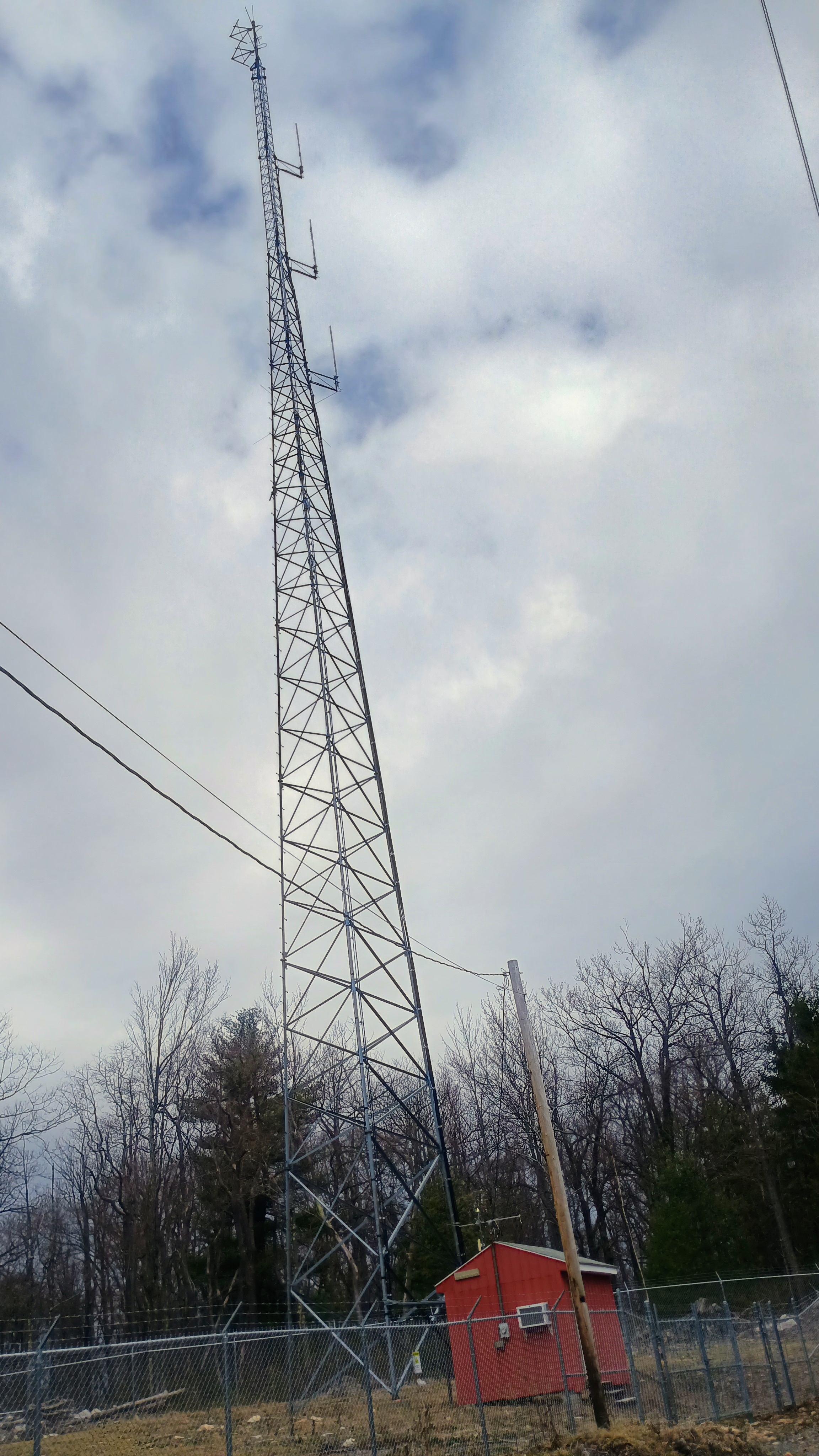
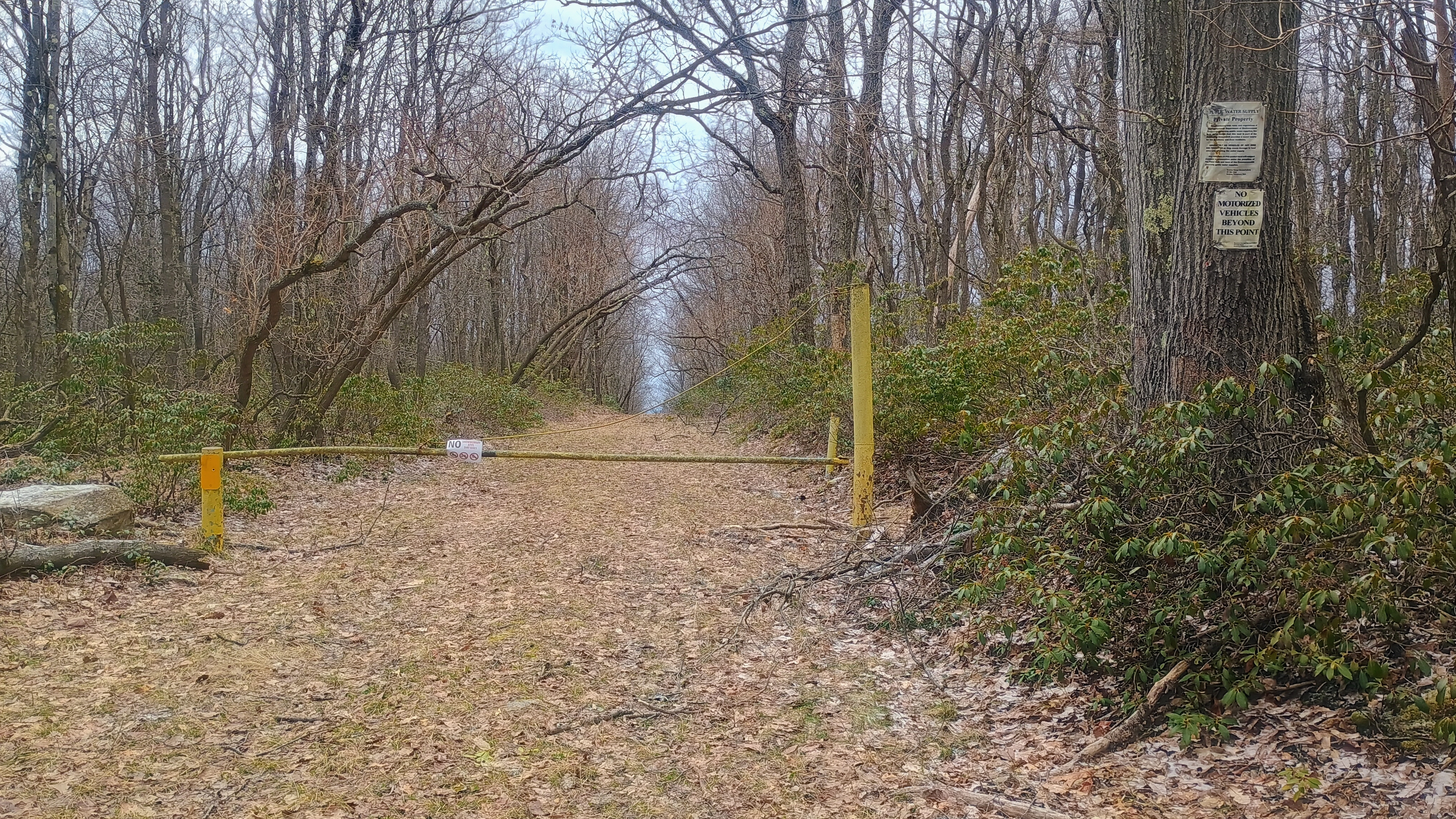
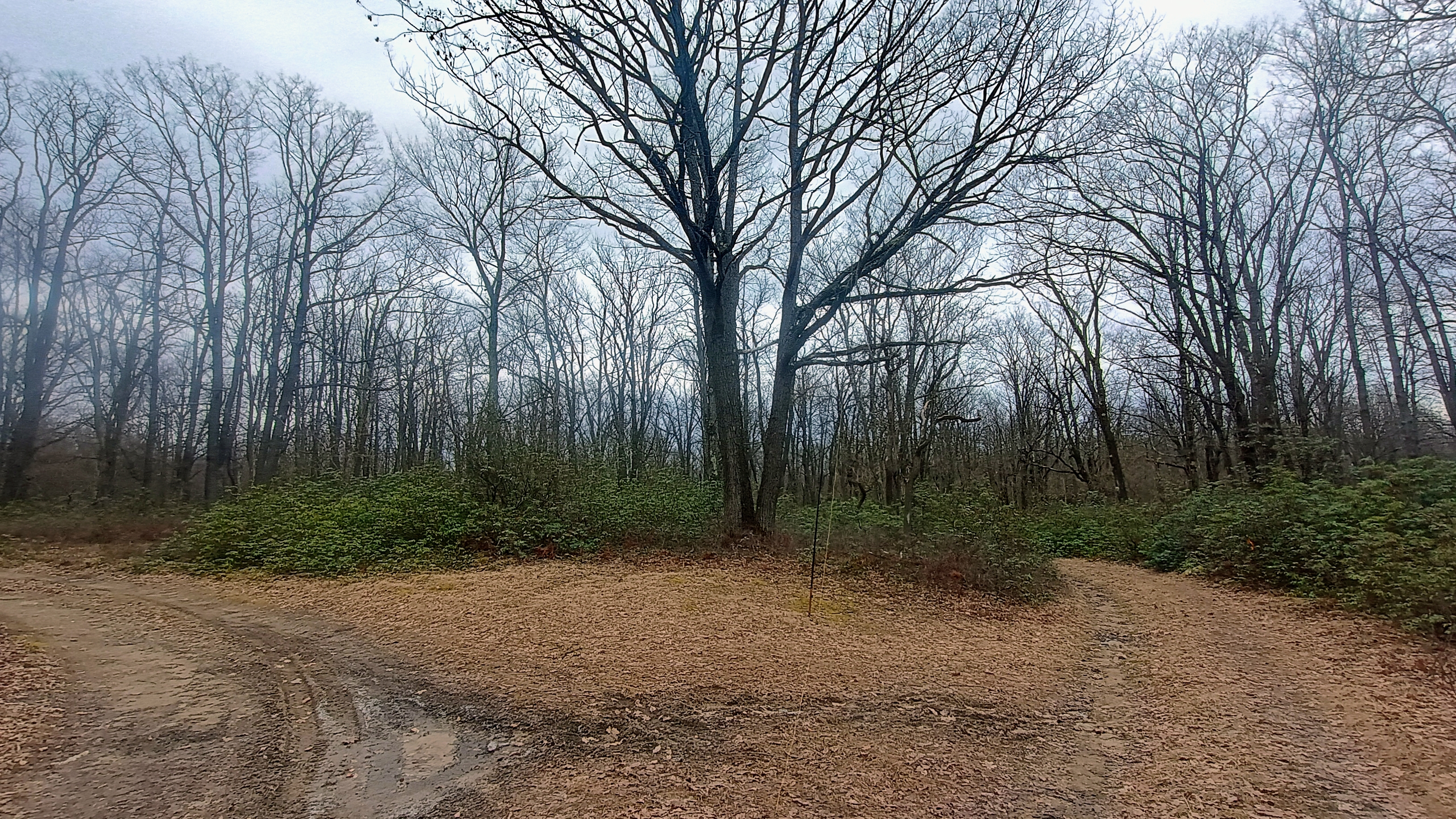
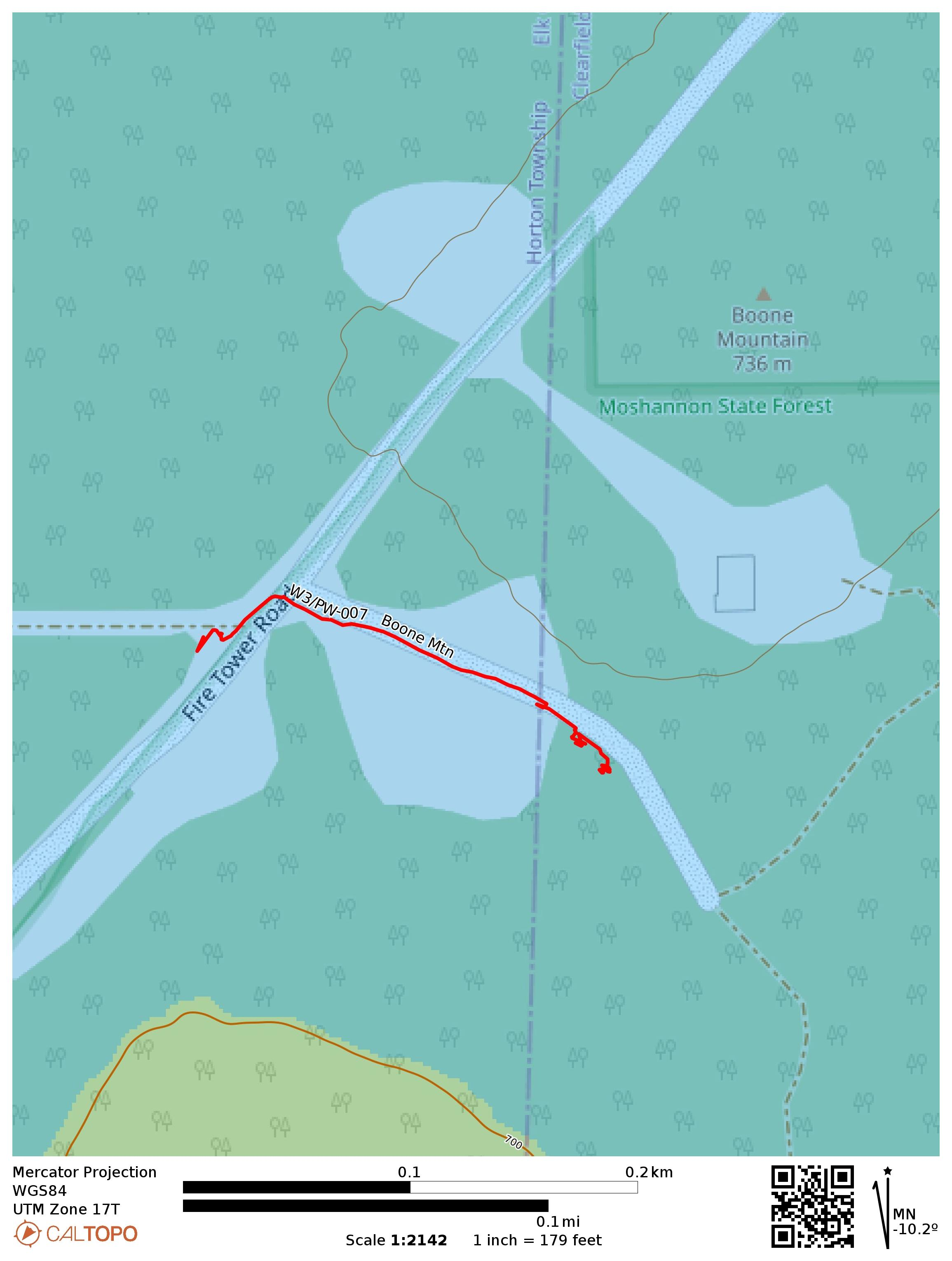
When activating Boone Mtn, I prefer to walk away from the tower into the state forest along an ATV/hiking trail, as there is a pleasant trailside spot not far from the site, making this drive-on marginally more interesting, I parked next to a gate just a bit southwest of the communications tower, which blocks a road going to water utility infrastructure. From here, I crossed Boone Mountain Road (also known as Fire Tower Road) and and walked just under a fifth of a mile to a trail junction that has plenty of space to set up.

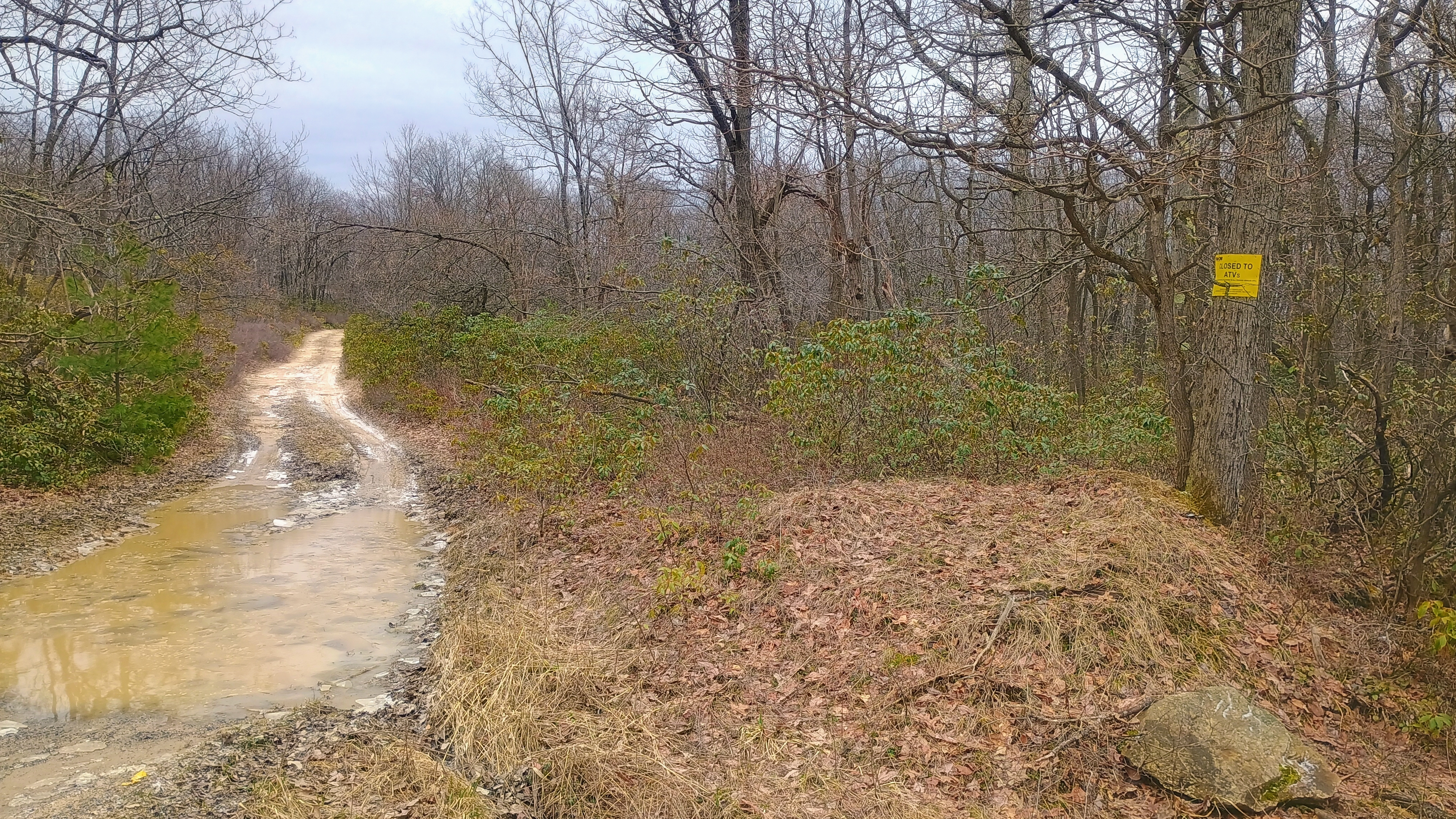
The vehicle trail was flooded by the road today, but was otherwise dry.

This time, there was a light dusting of snow on the ground. A large growth of mountain laurel is at this location, with new growth for the year starting to show. This would be a great spot to check out in early June when the laurels bloom!

Operating location. See all the new mountain laurel growth!

On this particular activation in March 2026, I worked S2S with K2CPT on W2/GA-077 and JB KC1MXB on W1/GM-037, both on 40m, and WS0TA on W5N/SI-010 on 20m. I had worked JB already on the last activation (W3/PW-038 Jefferson County HP) as well!

A very short hike which was completely within the activation zone from start to finish.
  • Trailhead: 41.24571, -78.64861 : Beside gated access to water utility besides Boone Mountain Road
  • Map:  [AA3TZ SOTA] [Moshannon State Forest Maps]
  • Route: Drive on; 0.2 mile hike along ATV trail into forest to get away from road.
  • POTA: US-5472 Moshannon State Forest (though the peak itself is just outside the park)

W3/PW-038 Jefferson County HP

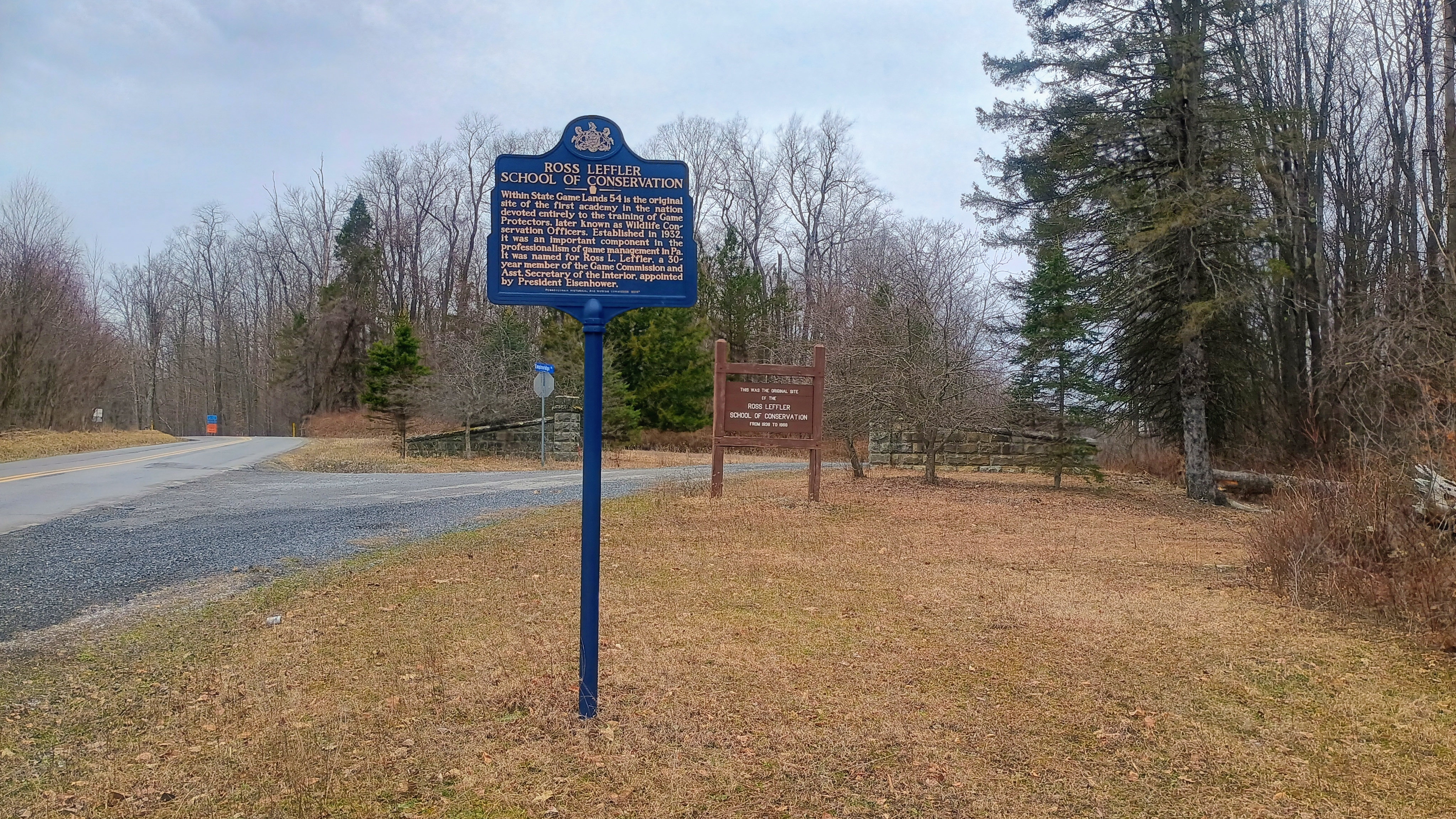
On March 13, 2026, I activated the four of the five DuBois Quintet SOTAs, and this was the first one of the day. The highpoint of Jefferson County is the fourth highest of the DBQ at 2169 feet ASL, and the county is where Punxsutawney (and Phil) reside. The peak is in State Game Land 54, which was once the site of the Ross Leffler School of Conservation, where wildlife conservation officers were trained.

Since I ultimately did 4 SOTA peaks in one day to maximize the winter bonus, I cut this hike short, not going all the way to the intriguingly named John Lennon Point Vista, though all reports indicate that it’s worth a visit if you ever find yourself in SGL 54.

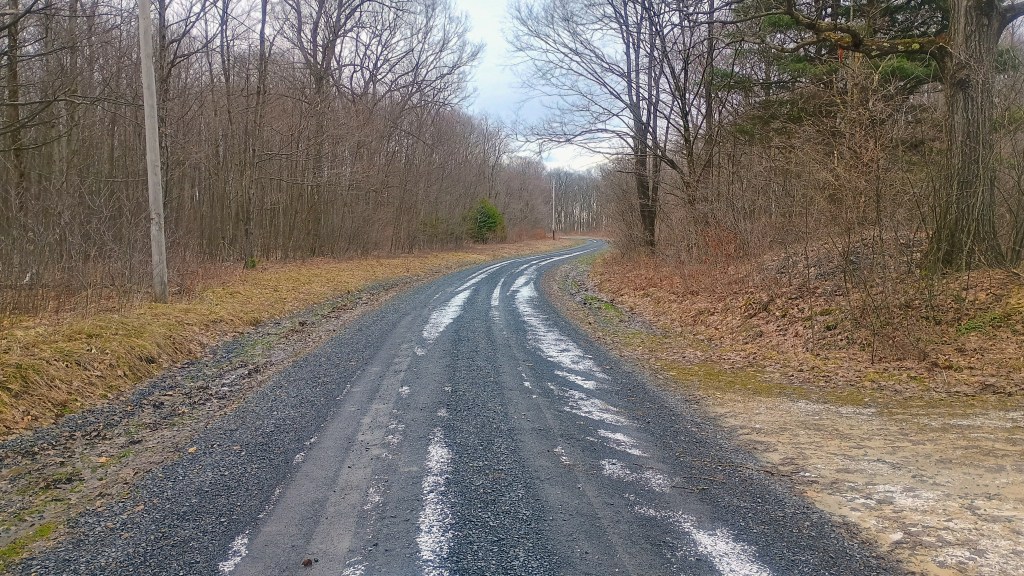
The intersection of Game School Road and Empire Ridge Road. The latter is not maintained in the winter, and can be covered in deep ice ruts during cold months.

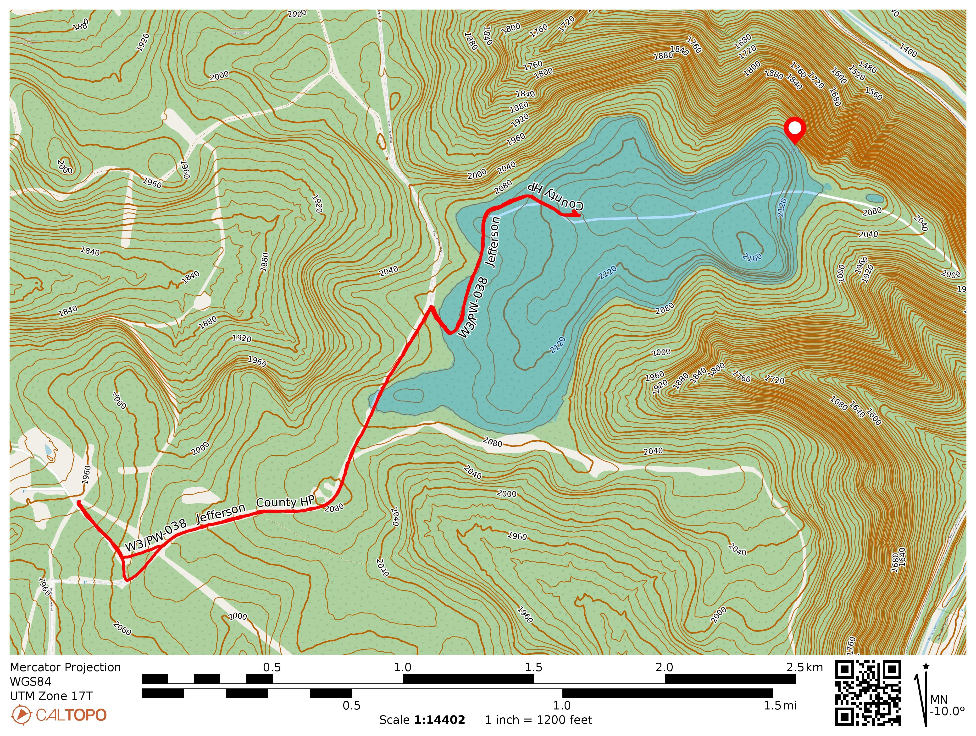
I had activated this summit last year, but found a gate blocking Empire Ridge Road for construction/improvement projects. I had to park on the side Game School Road and hike nearly an additional mile each way. This time, the road was open and I could drive up to a large parking area at 41.29569, -78.87447 after which the road was gated once again. There are a number of parking areas to choose from in this vicinity, and the one at 41.29286, -78.87438 may shave off a few tenths of a mile from your hike. The gate here blocking Empire Ridge Road is open from late September through January for hunting season, so you may be able to drive much further down the trail if you come at the right time of year. Check out this map for more information on seasonal gates on PA SGLs.

Just over a mile into hiking along the road, you’ll need to make a turn onto the trail (41.30238, -78.85854). You might be able to park closer to this spot when the gate is open.

The hike follows the road until this point, where a dirt trail/road continues to the ast.
The hike does get more scenic after you follow the dirt path into some woods. A light snowfall came down while I operated.

I stopped about a mile from the trail junction to operate since I was well within the AZ and had many more activations to do. The day started strong with two S2S: JB KC1MXB on W1/GM-037 and Mike WB2FUV on W2/GC-020, both on 40m. I would go on to work JB a second time on the next peak, the nearby W3/PW-007 Boone Mtn. Next time, I think I’ll just continue the extra half mile to see John Lennon Point, which is labeled with a stone marker and appears to overlook Little Toby Creek.

John Lennon Point Vista is on the very edge of the activation zone (red marker) and would make for a more scenic operating location. As you can see, this hike can be cut down to ~1.25 mi if you just want to get into the AZ.
  • Trailhead: 41.29569, -78.87447 : State Game Land 054 Parking Area
  • Map:  [AA3TZ SOTA] [State Game Land 054 Map]
  • Route: 4.0 RT hike along Empire Ridge Road and an unnamed trail. Could drive further down the road during deer season to save time.
  • POTA: US-8753 PA 054 SGL