
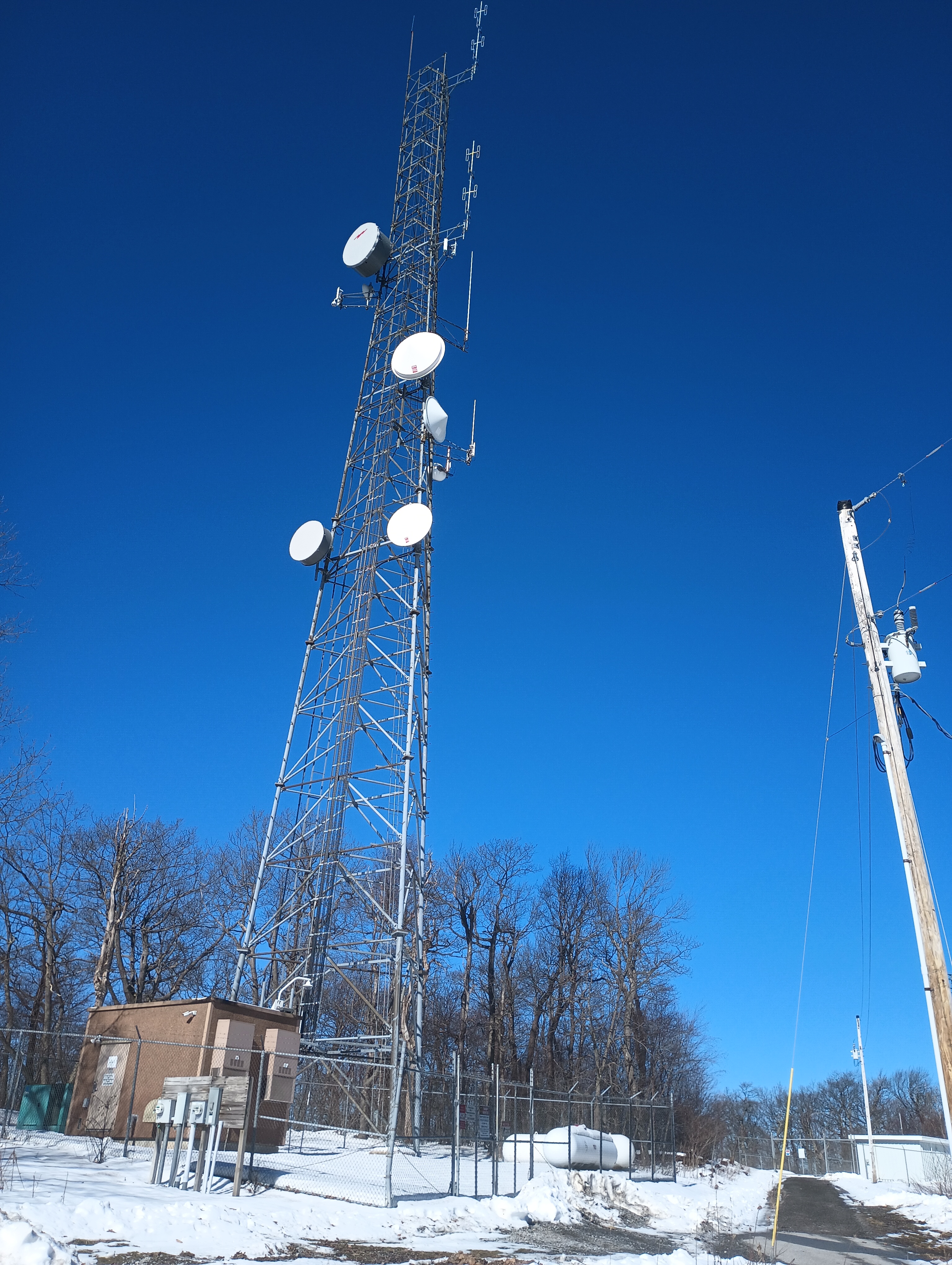
Rager Mountain (2589 feet) is a classic drive-on western Pennsylvania SOTA peak. There is a high-tension powerline cut that crosses directly over the summit proper, and a good amount of natural gas processing infrastructure along its flat plateau (that leaked 27,000 tons of methane in 2022). I first activated this peak by driving south from US-22 to Dishong Mountain Road, then along the aptly named Gas Company Road, and had a fairly uneventful activation on one of the trails south of the peak. As Jody K3JZD writes in his activation notes, this is a ‘plateau summit’ with with a large activation zone.
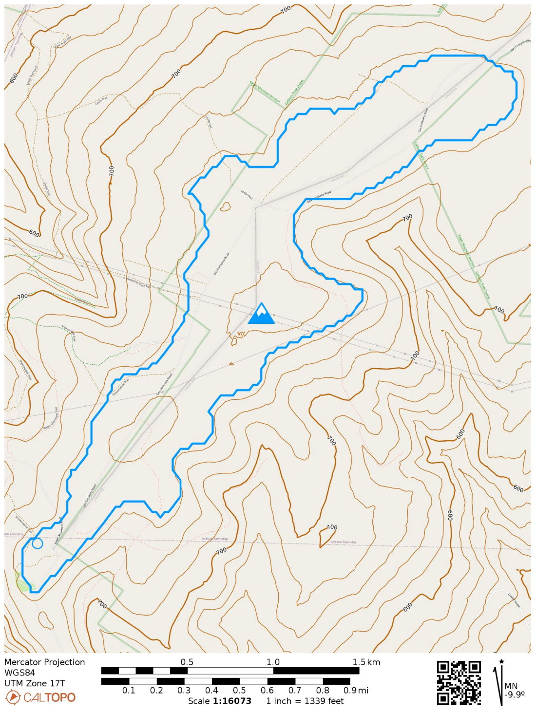
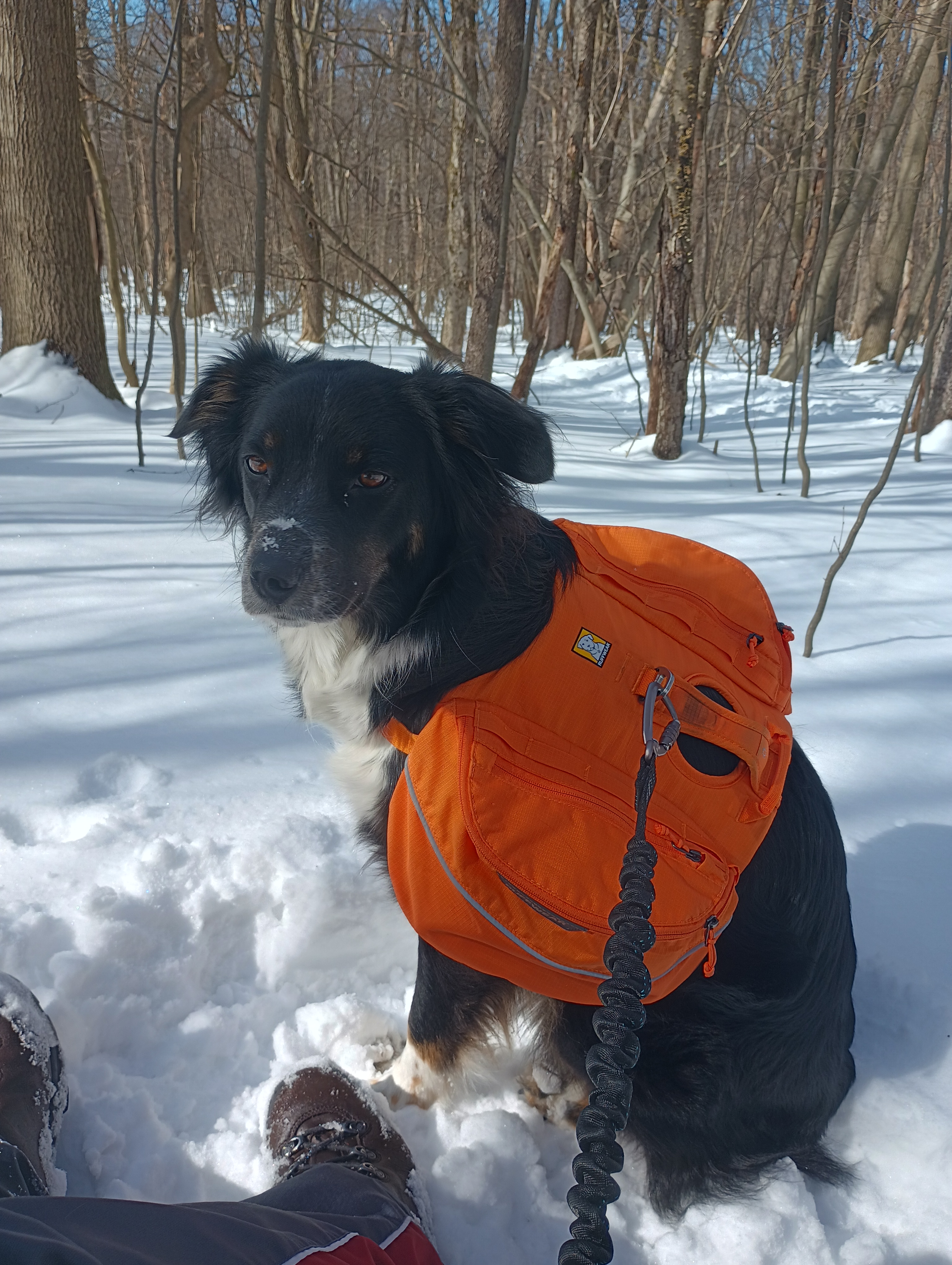
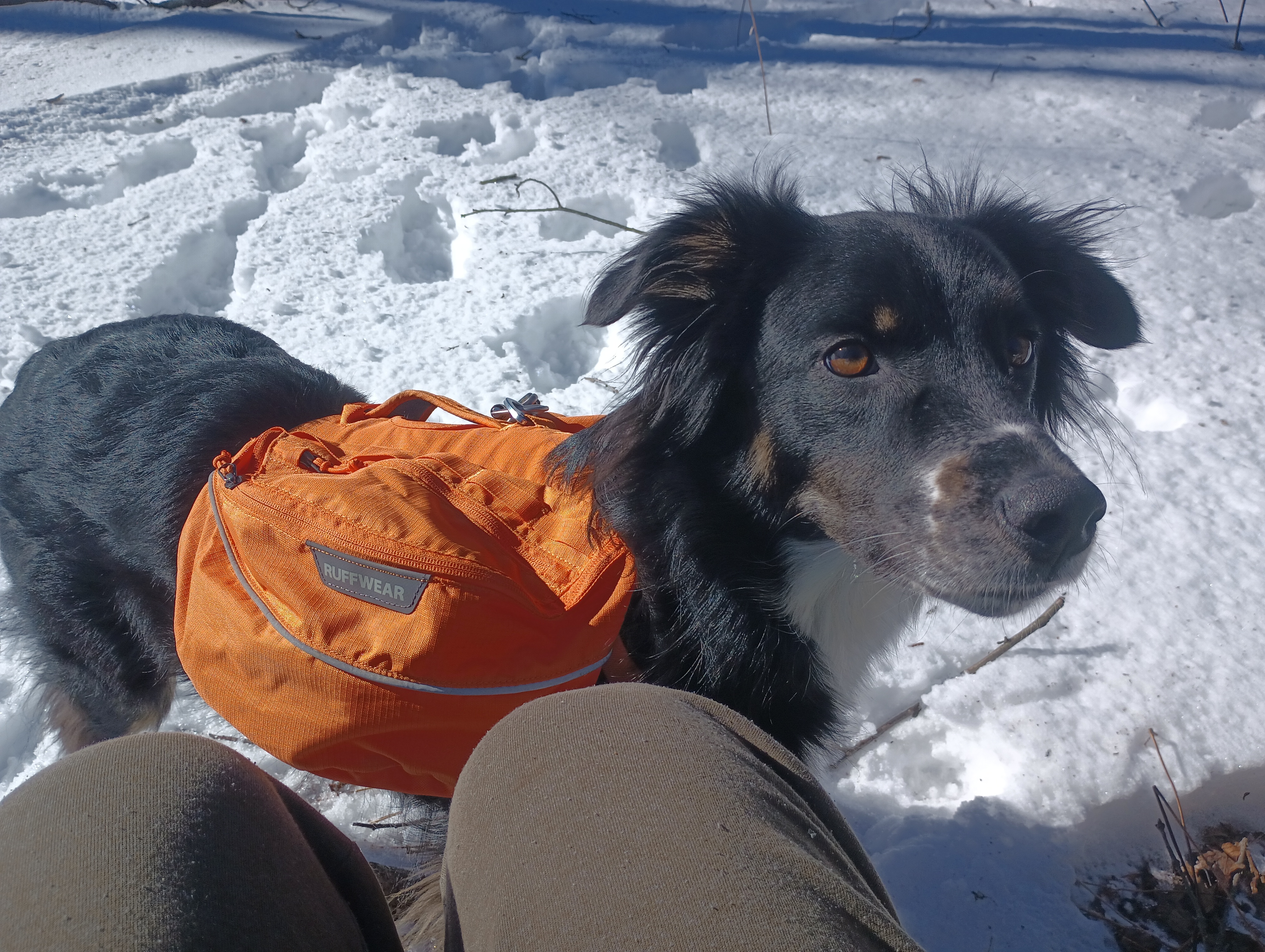
You can see that portions of Gallitzin State Forest overlap the activation zone, so my plan for this return trip was to hike up to the southwest edge of the AZ through the forest to a point surrounded by some snowmobile trails. Luna was coming with me this time, and I wanted our hike to burn off enough energy so that she wouldn’t get bored during the “sit and goof around on the radio” phase of the excursion. The Clark Run/Rager Mountain Trail loop promised 1400 feet of elevation gain, which I figured would do the trick!
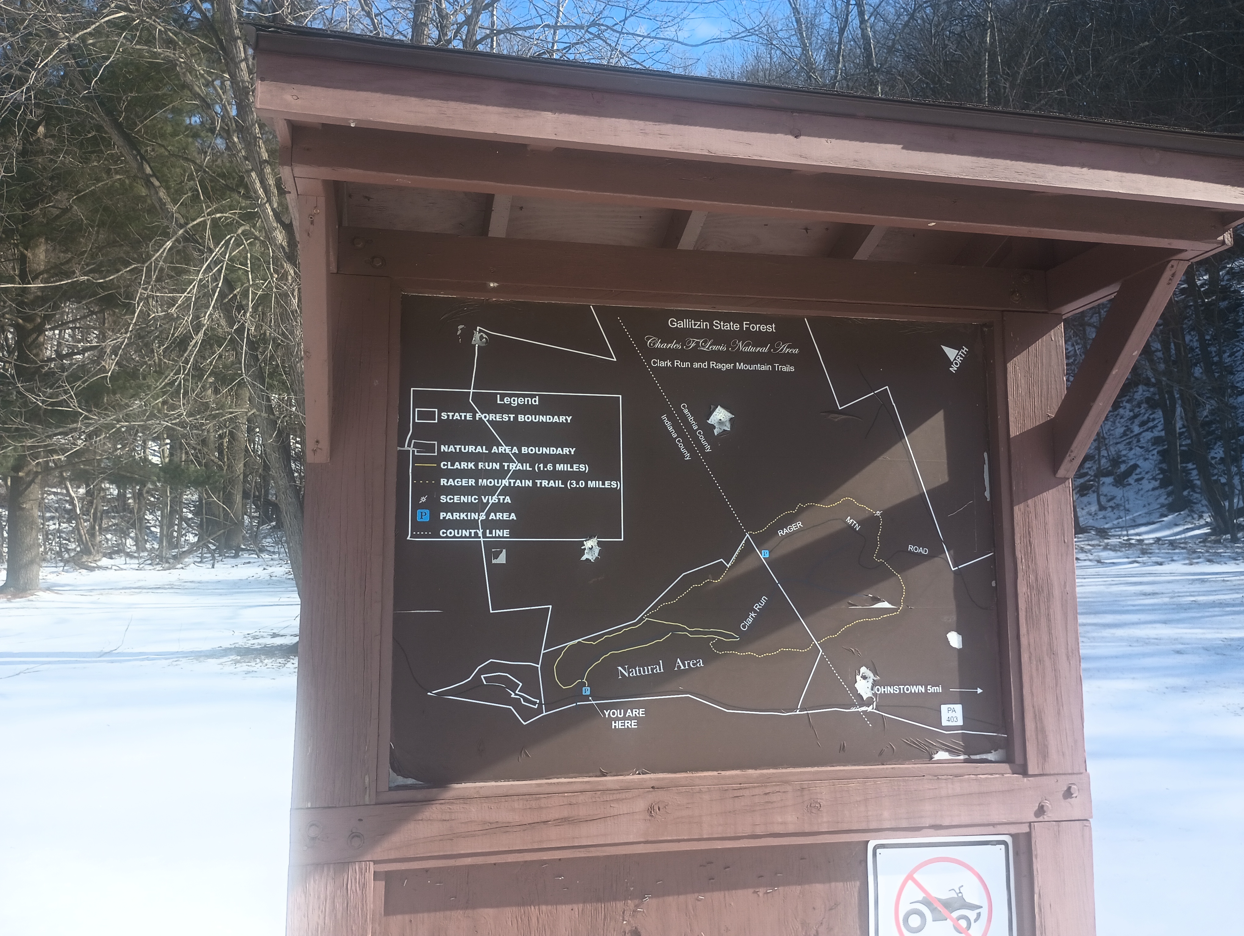
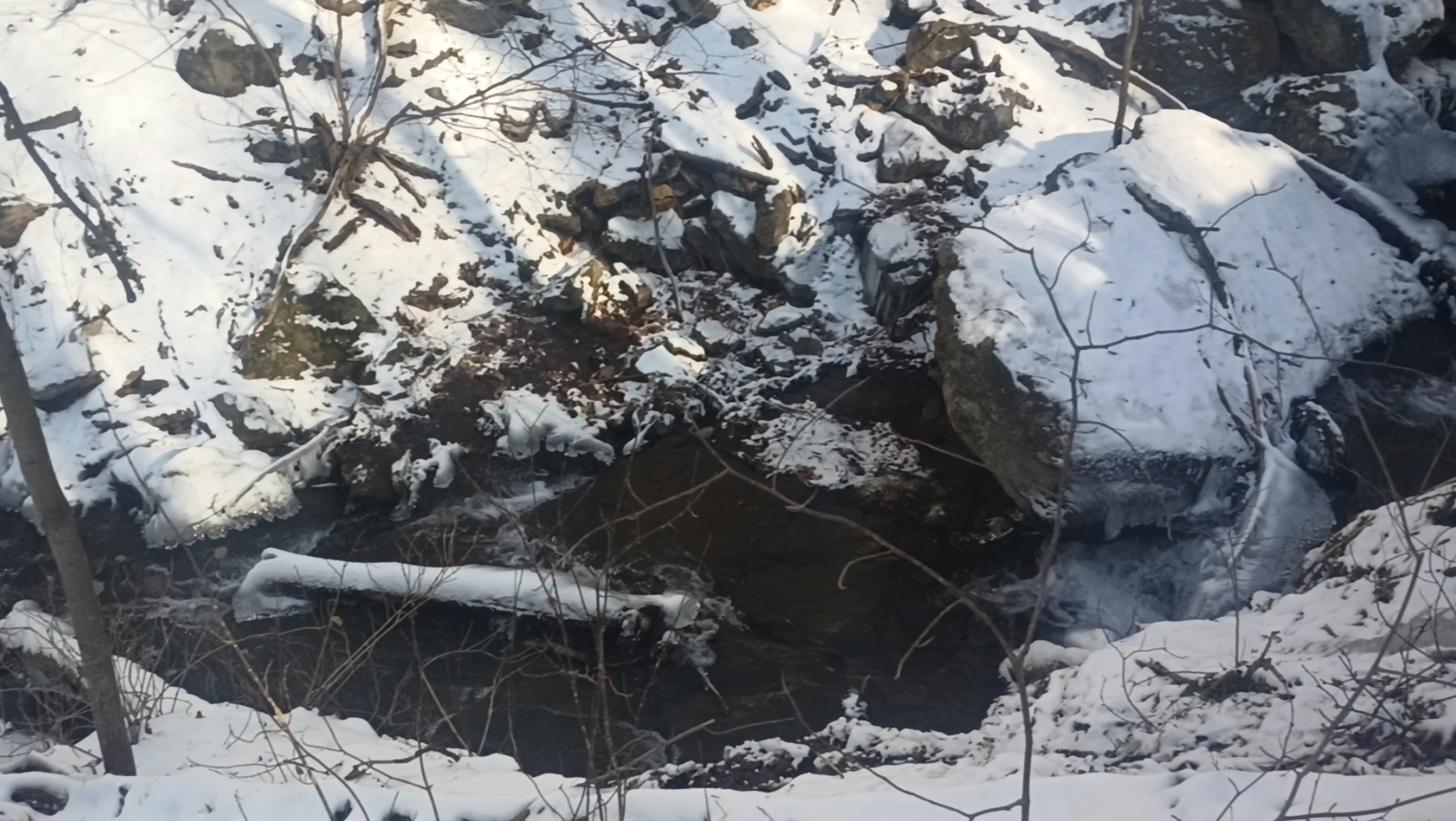
I parked at the Charles F. Lewis Natural Area entrance for Gallitzin State Forest, which was directly off of PA-403. We started on the Clark Run Trail which featured a steep climb on a narrow trail overlooking some pretty waterfalls. The trail is right on the edge of the gorge at times rising with over 25% grade, so this part was nerve-racking. I’m glad I had poles with me. After the first half mile, the trail flattened out considerably for a less steep (but still uphill) climb.
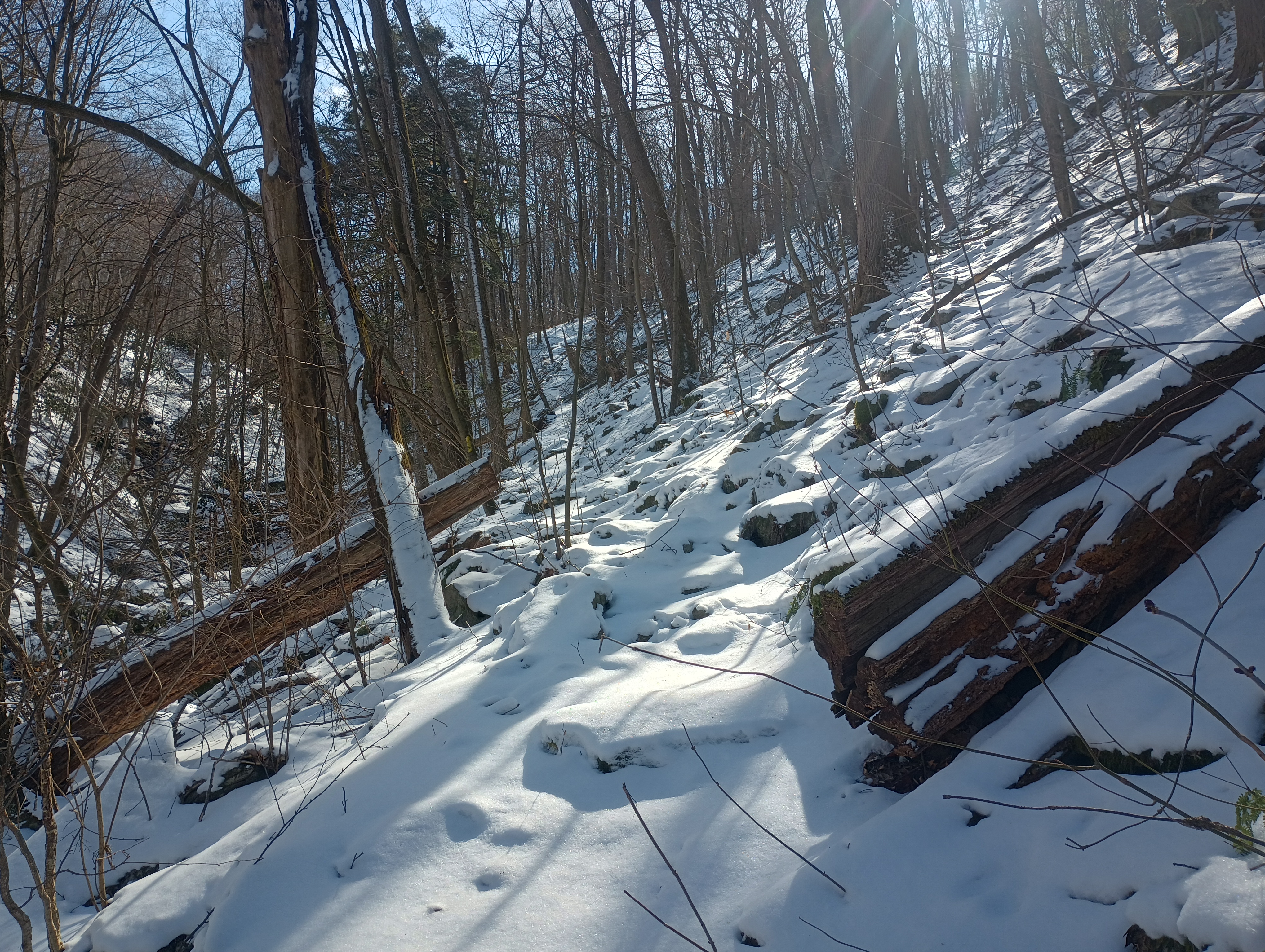
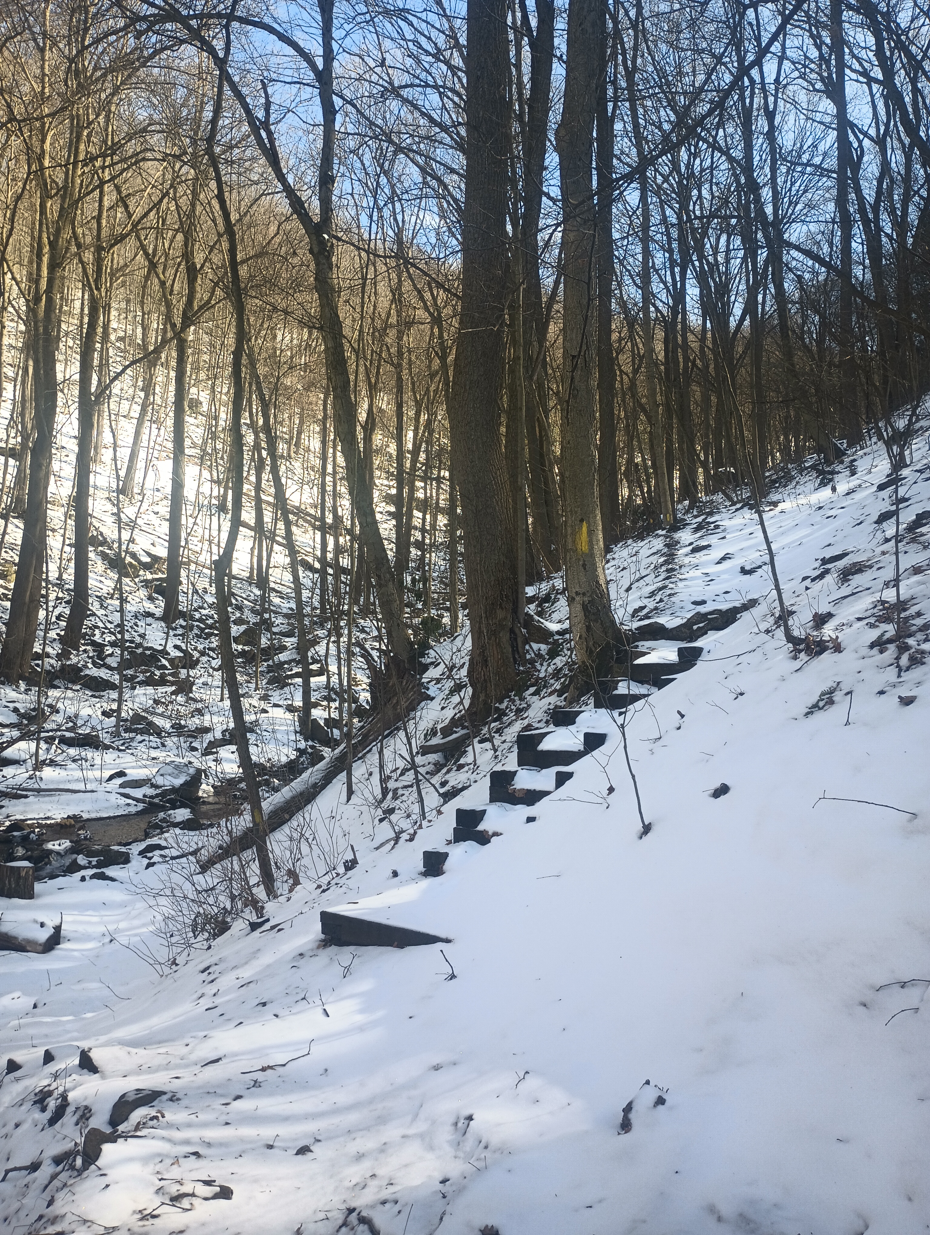
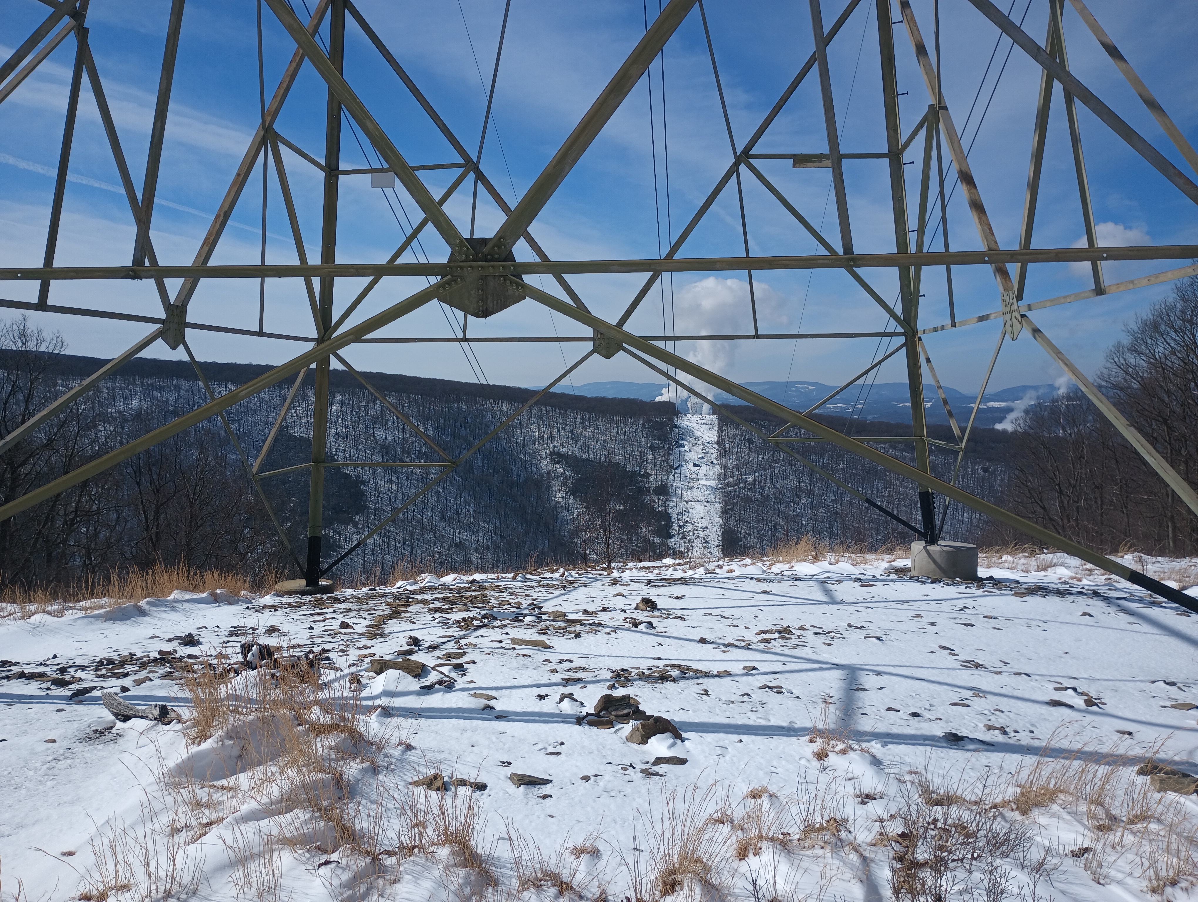
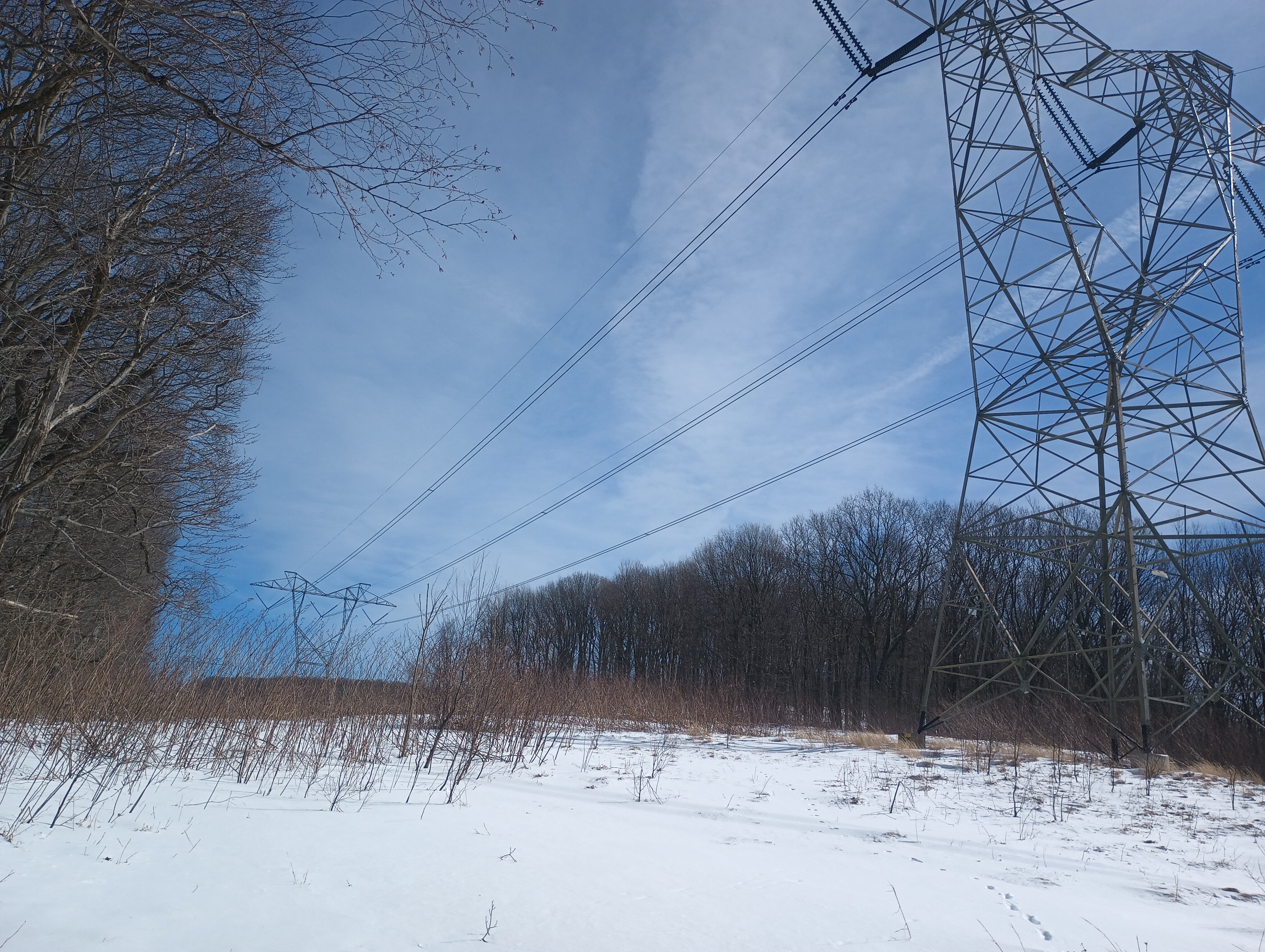
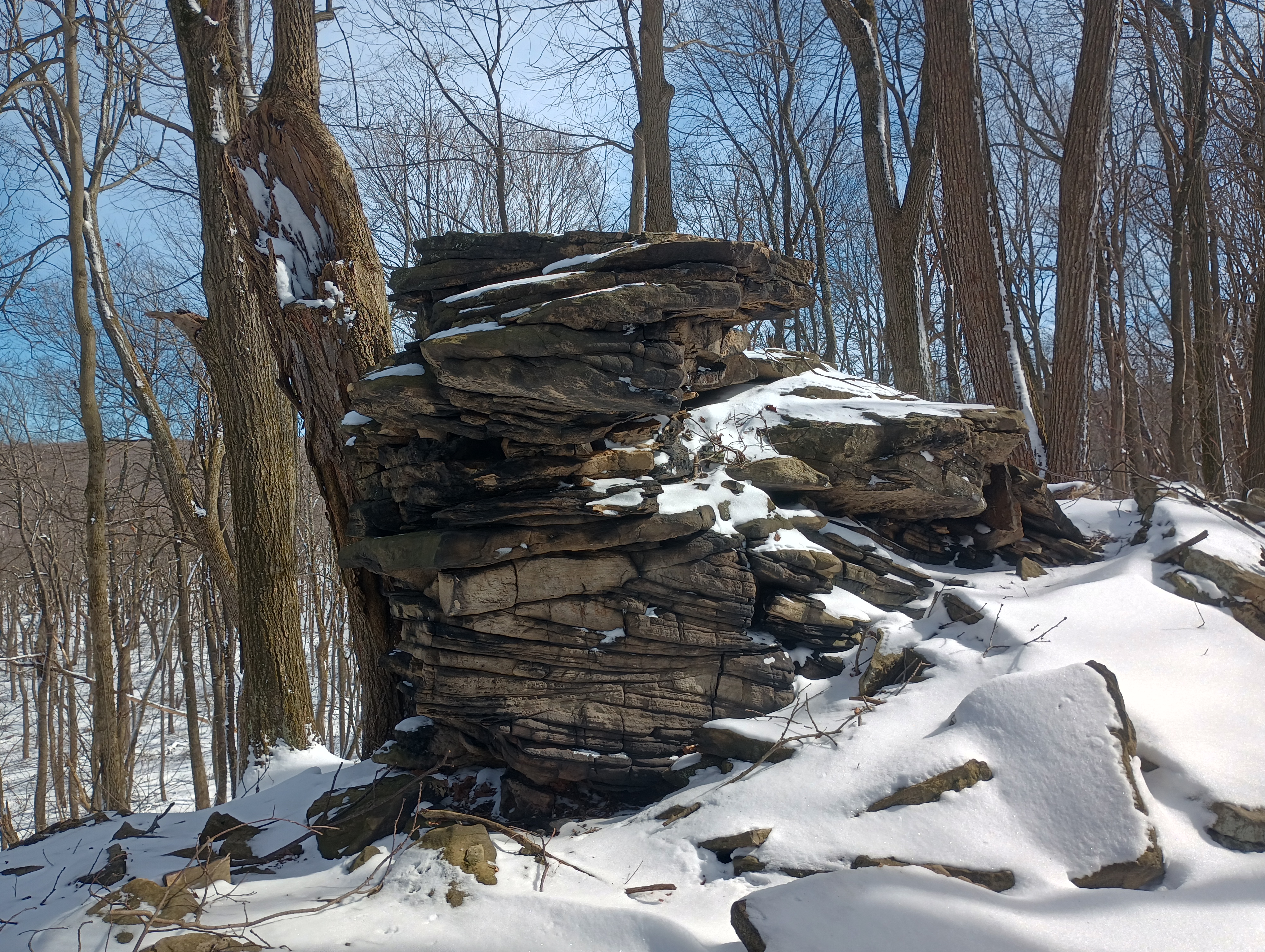
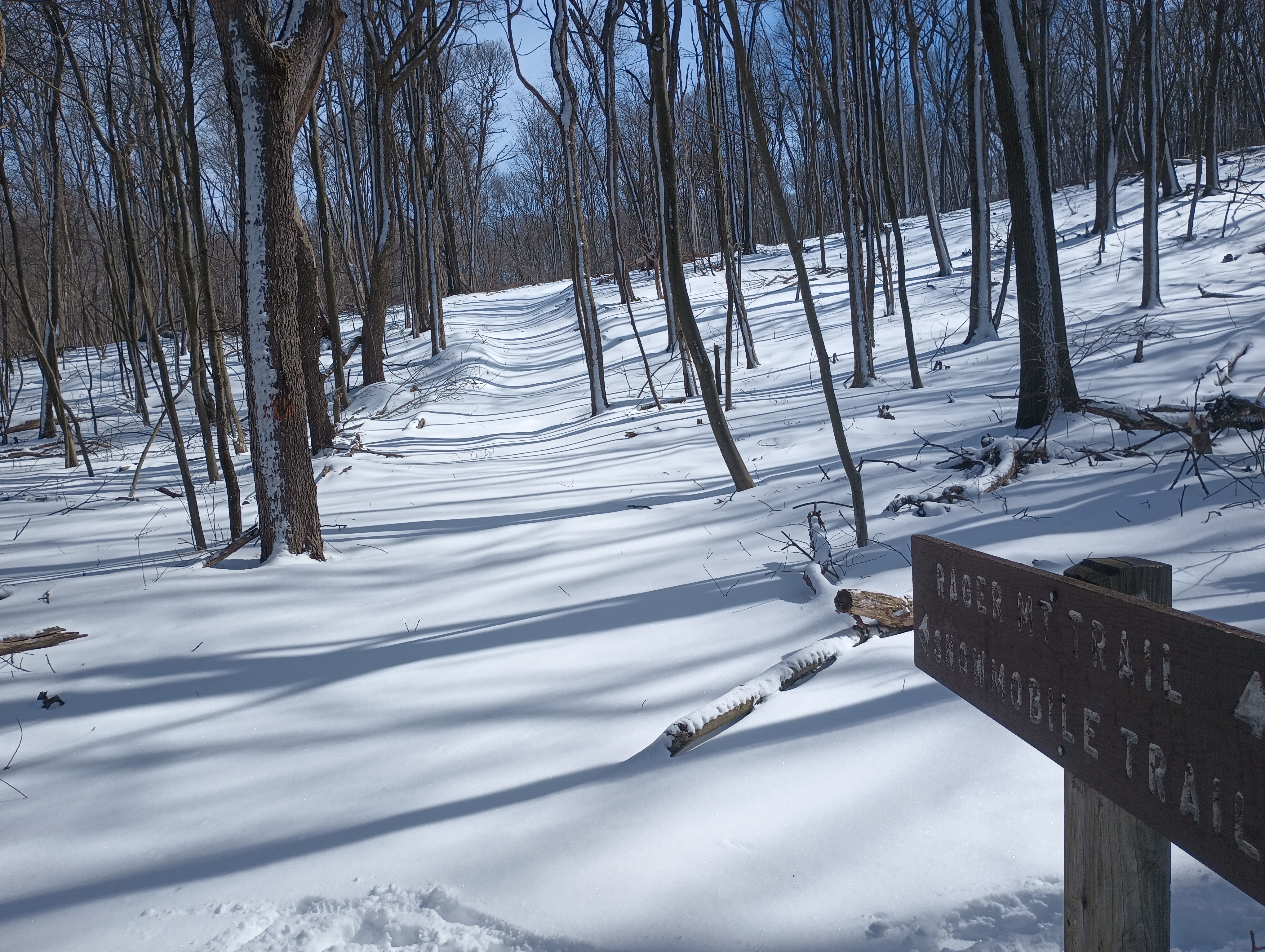
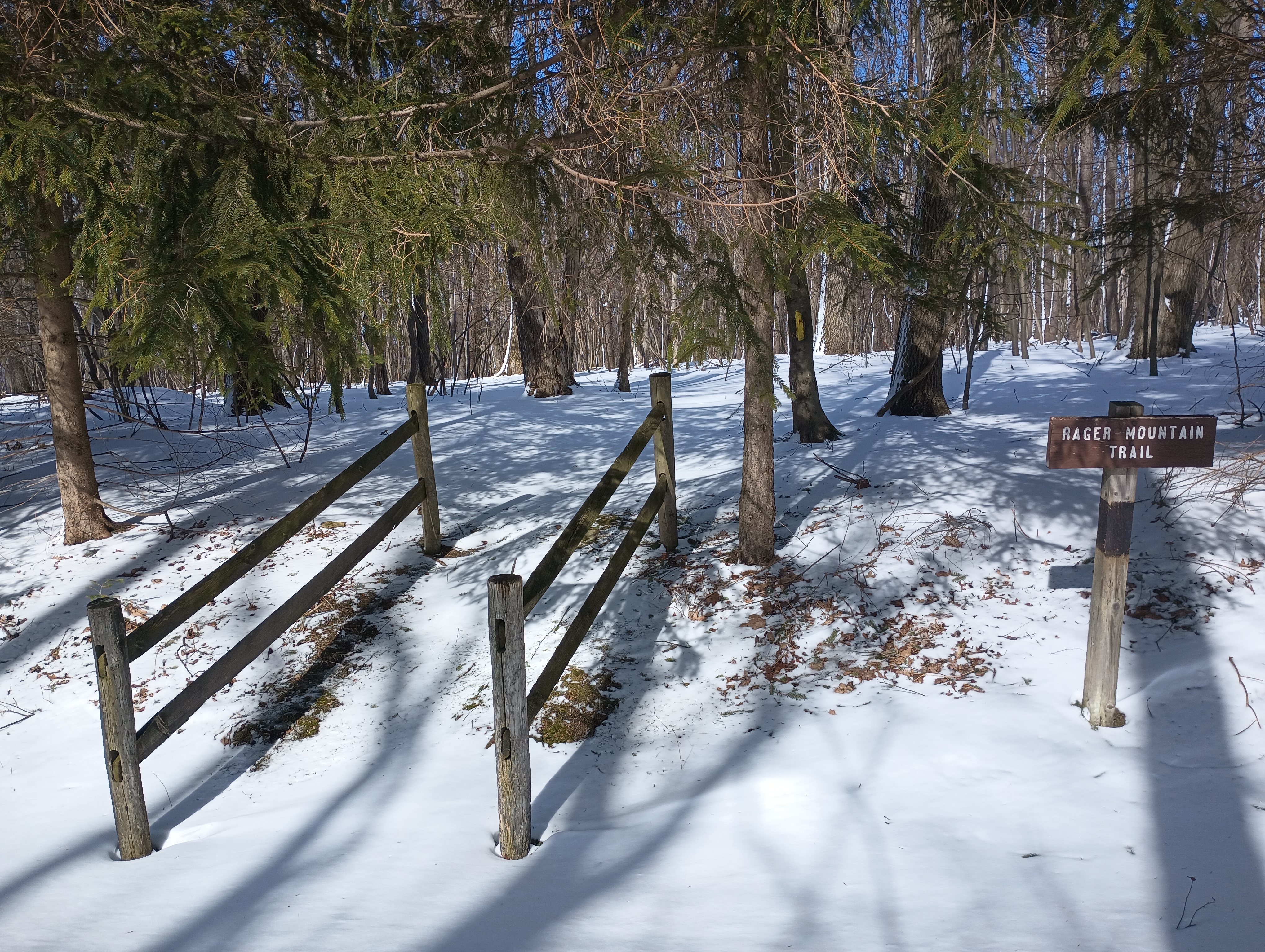
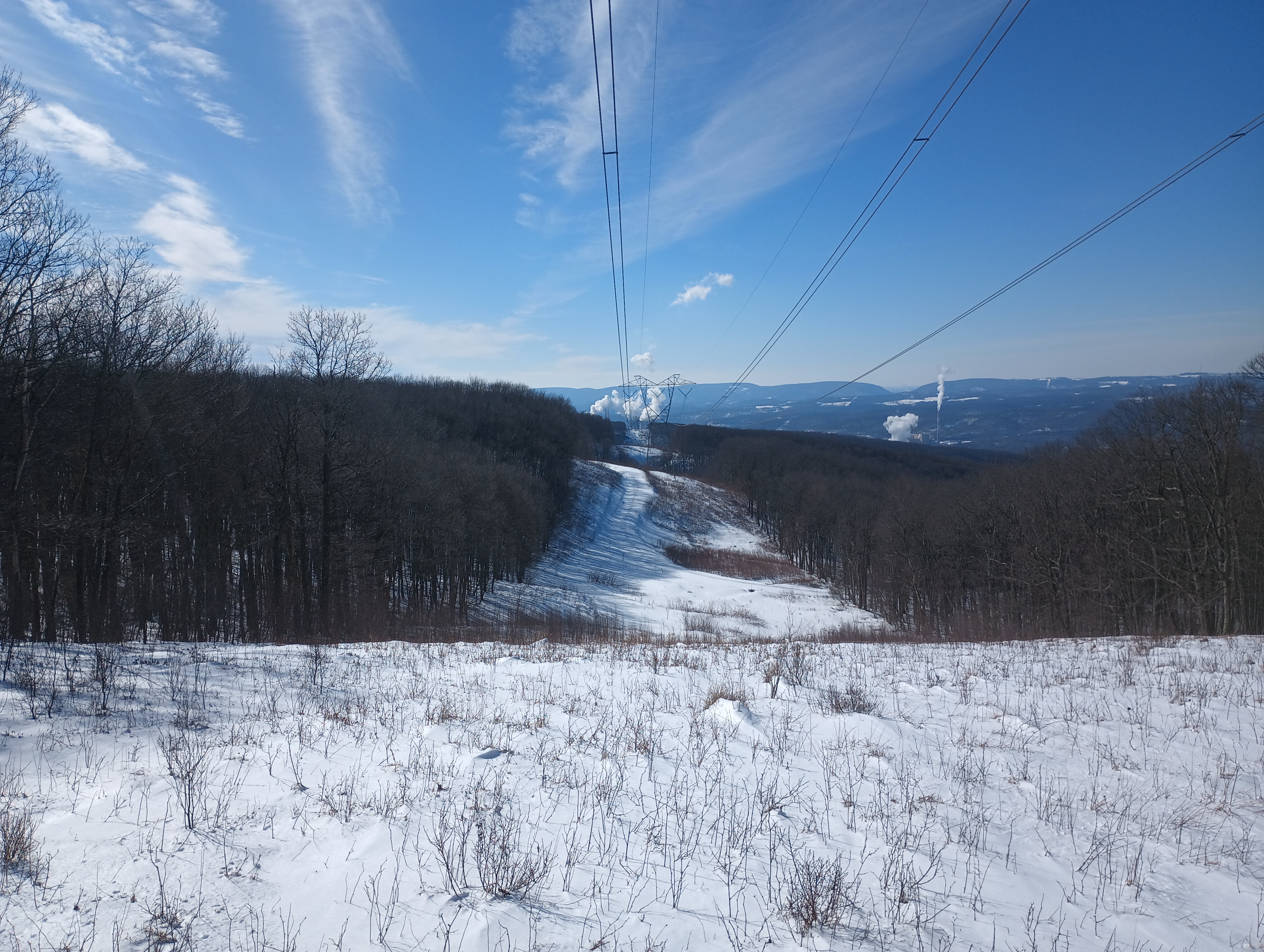
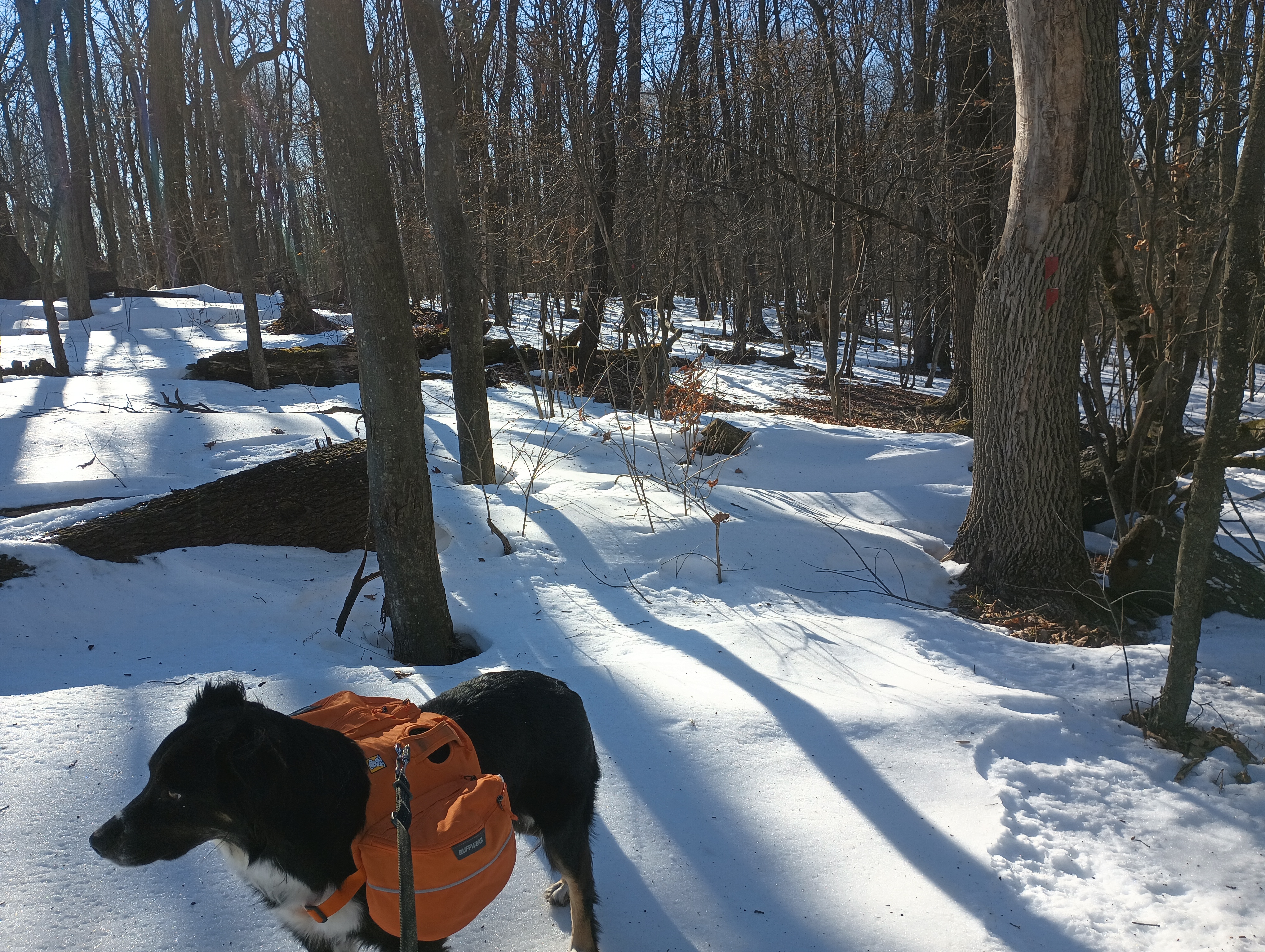
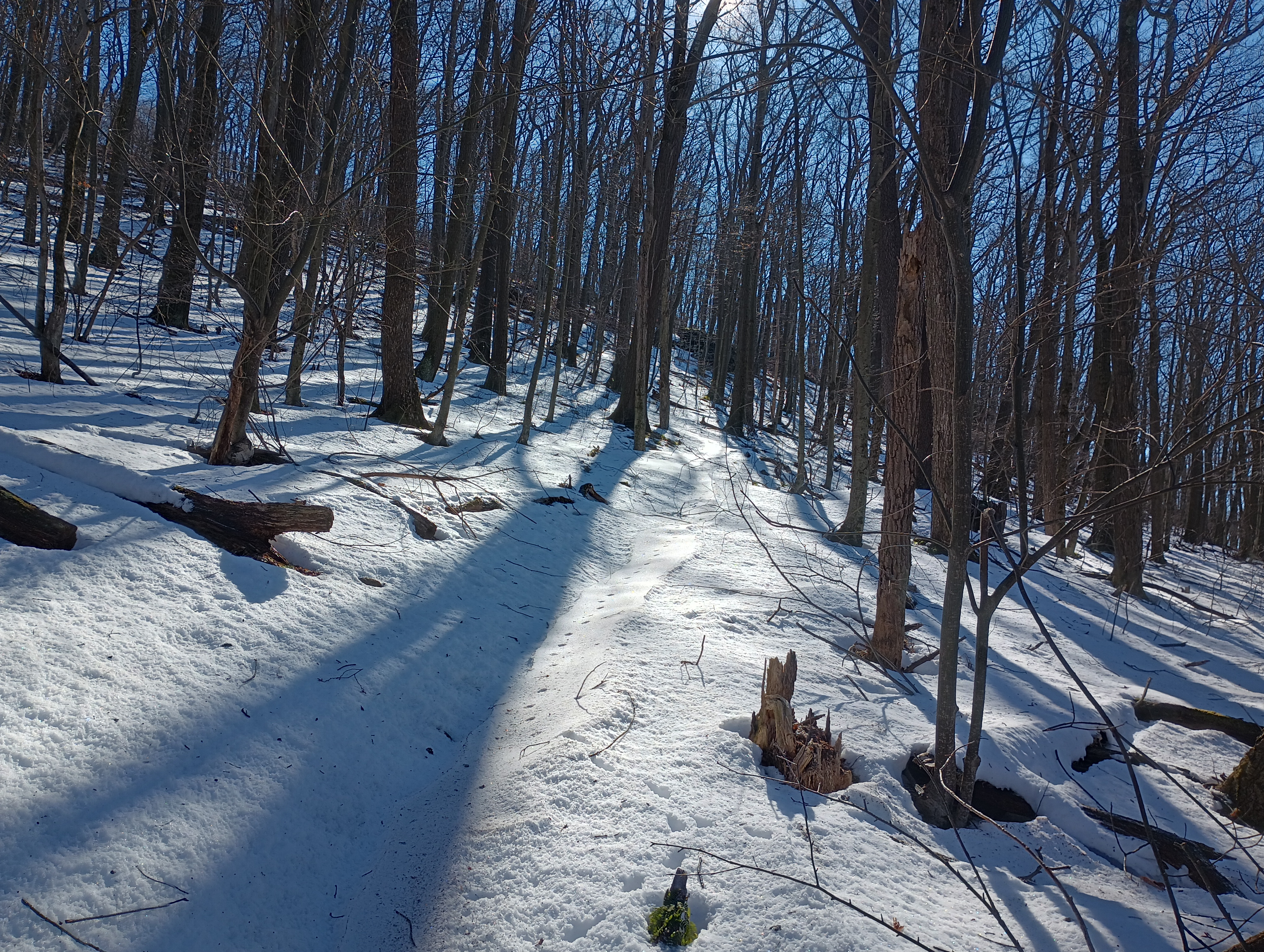
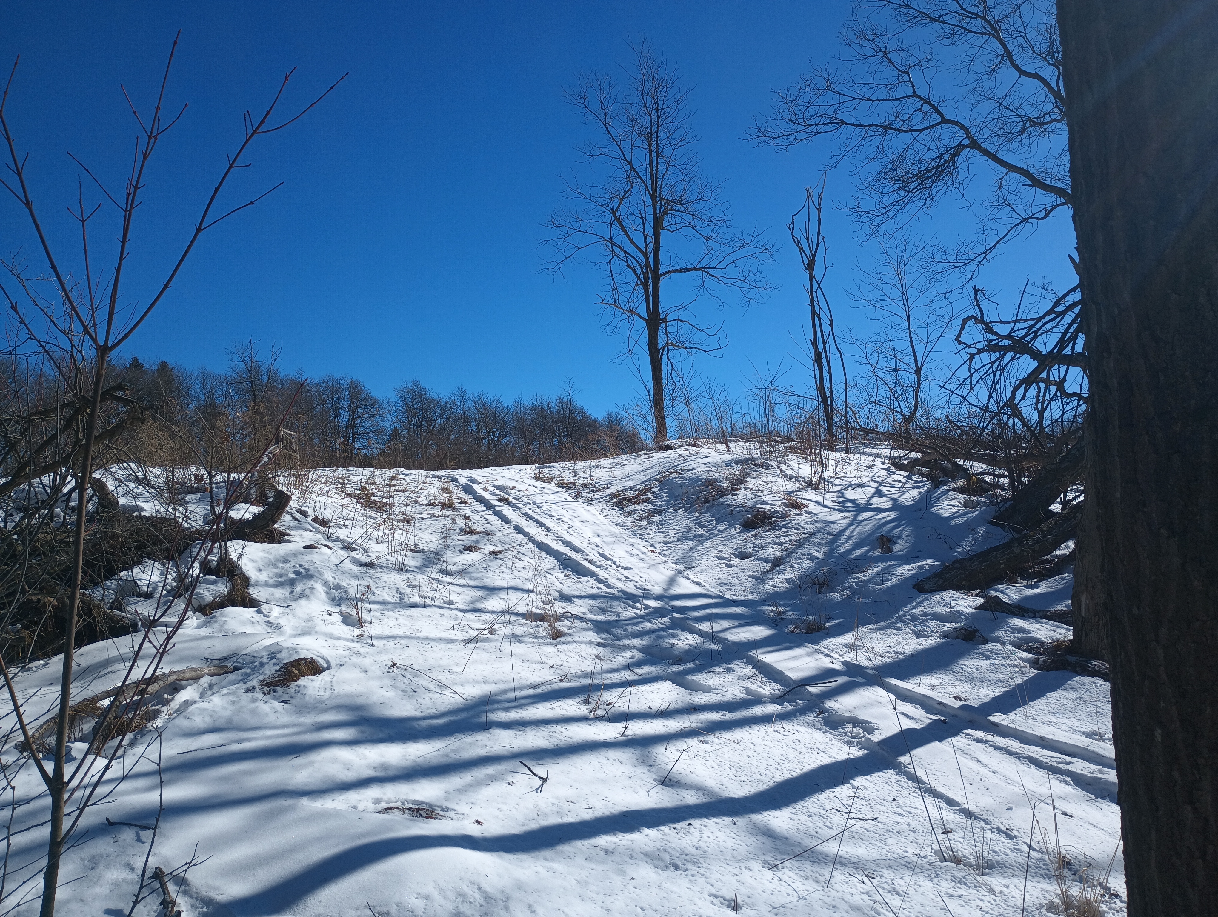
About a mile in, we continued up the Rager Mountain trail. As we continued from here, the snow could get as deep as about 6 inches in places, a very soft powder. The trail was well-marked with yellow blazes, but I found it easy to accidentally end up off trail with a thin layer of snow covering everything. The best views on the hike came from crossing under a powerline cut, with a cooling tower visibly bellowing steam in the distance. I still find it amusing to see trail blazes on things like concrete anchors for power lines, but I am noticing it’s just really common in western PA. The terrain started to get rockier, with large boulders visibly poking through the snow as we approached the 2-mile mark.
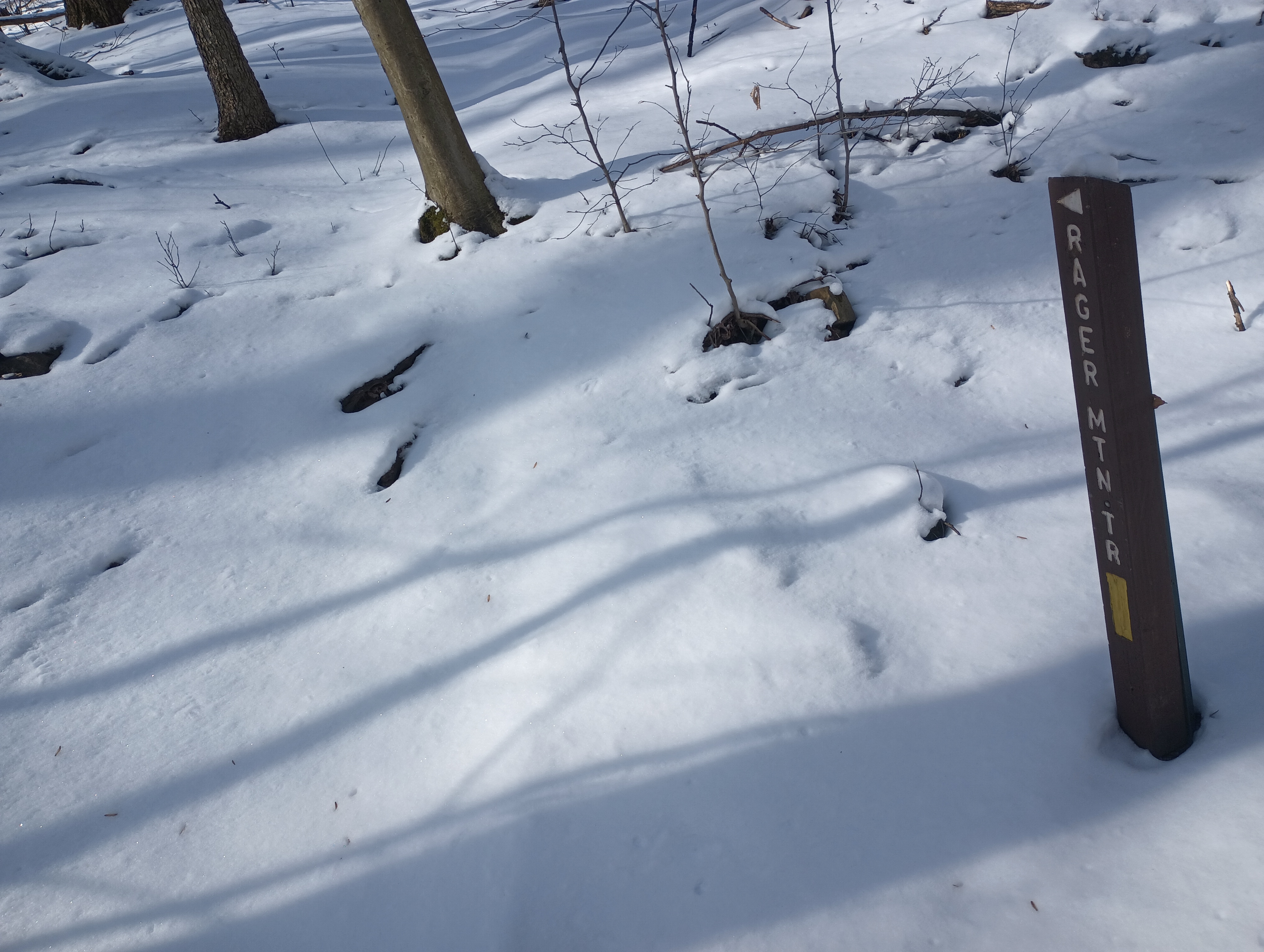
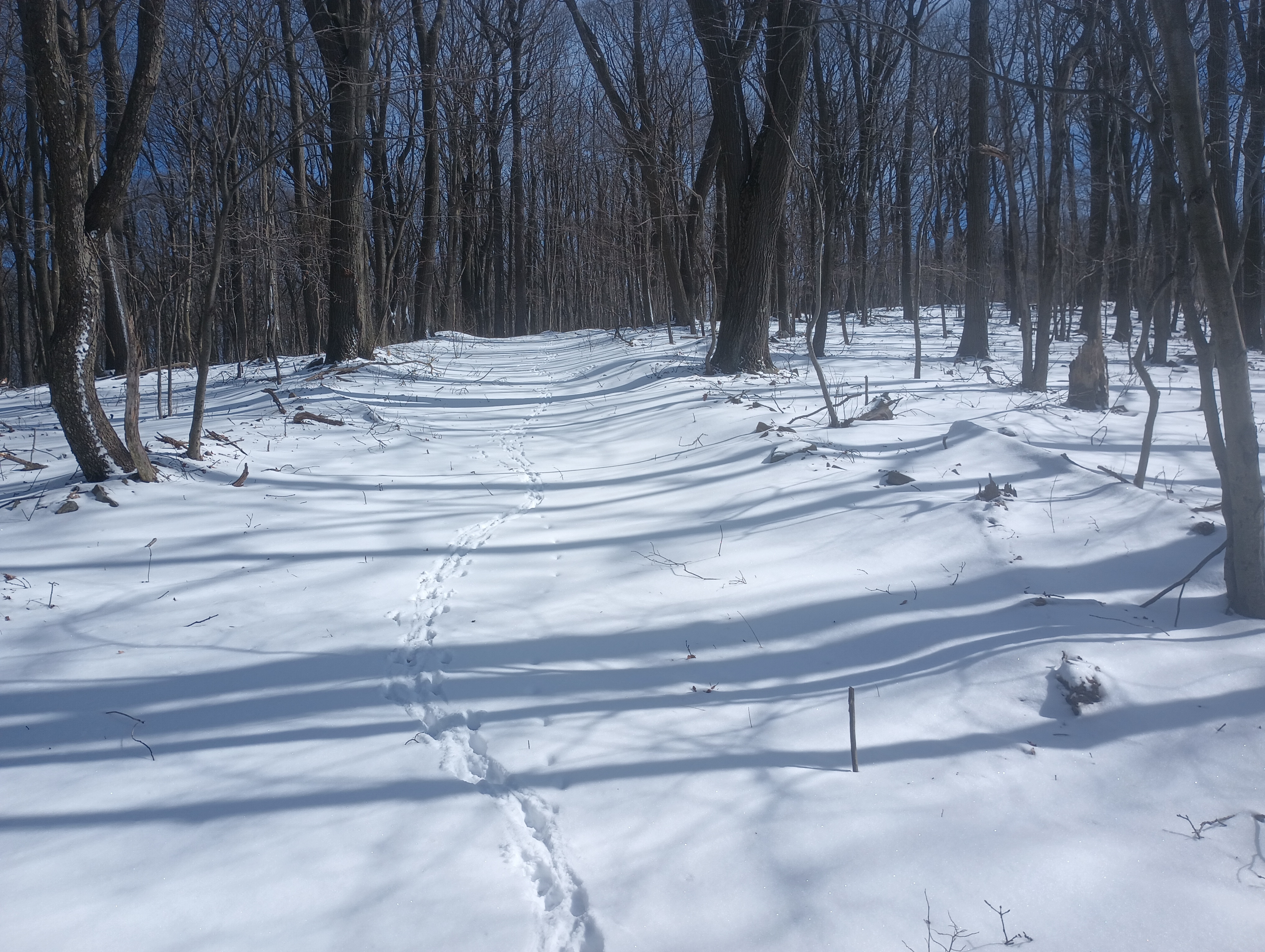
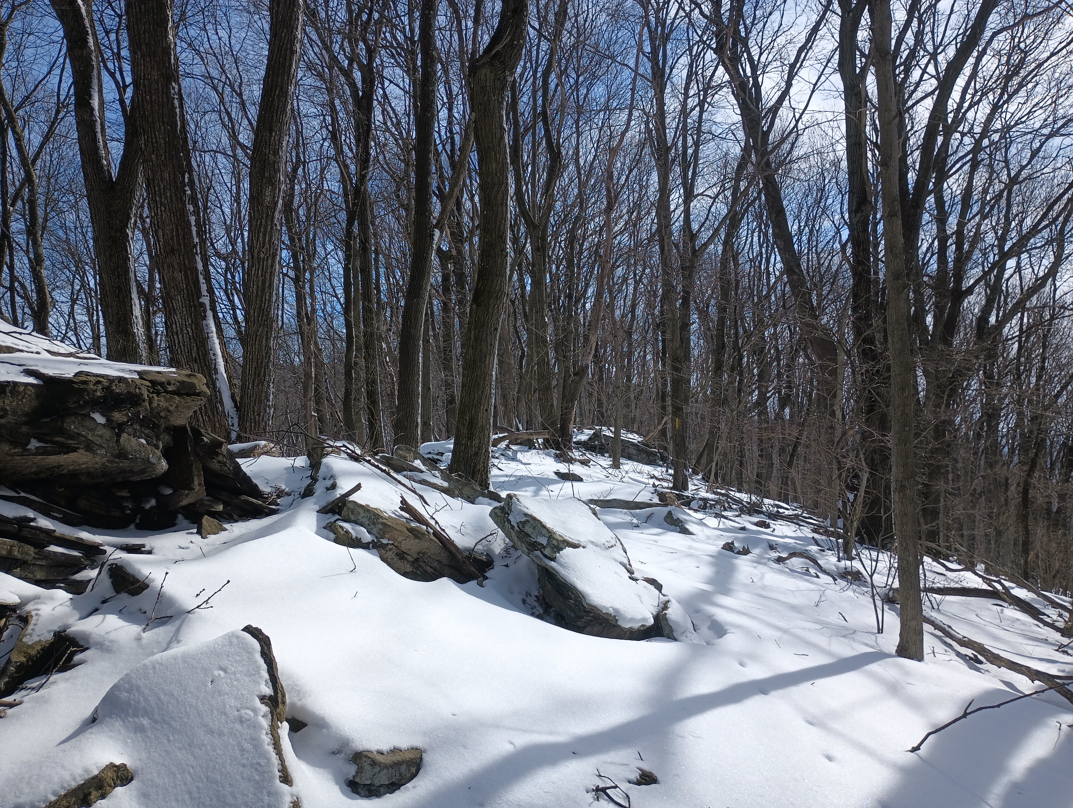
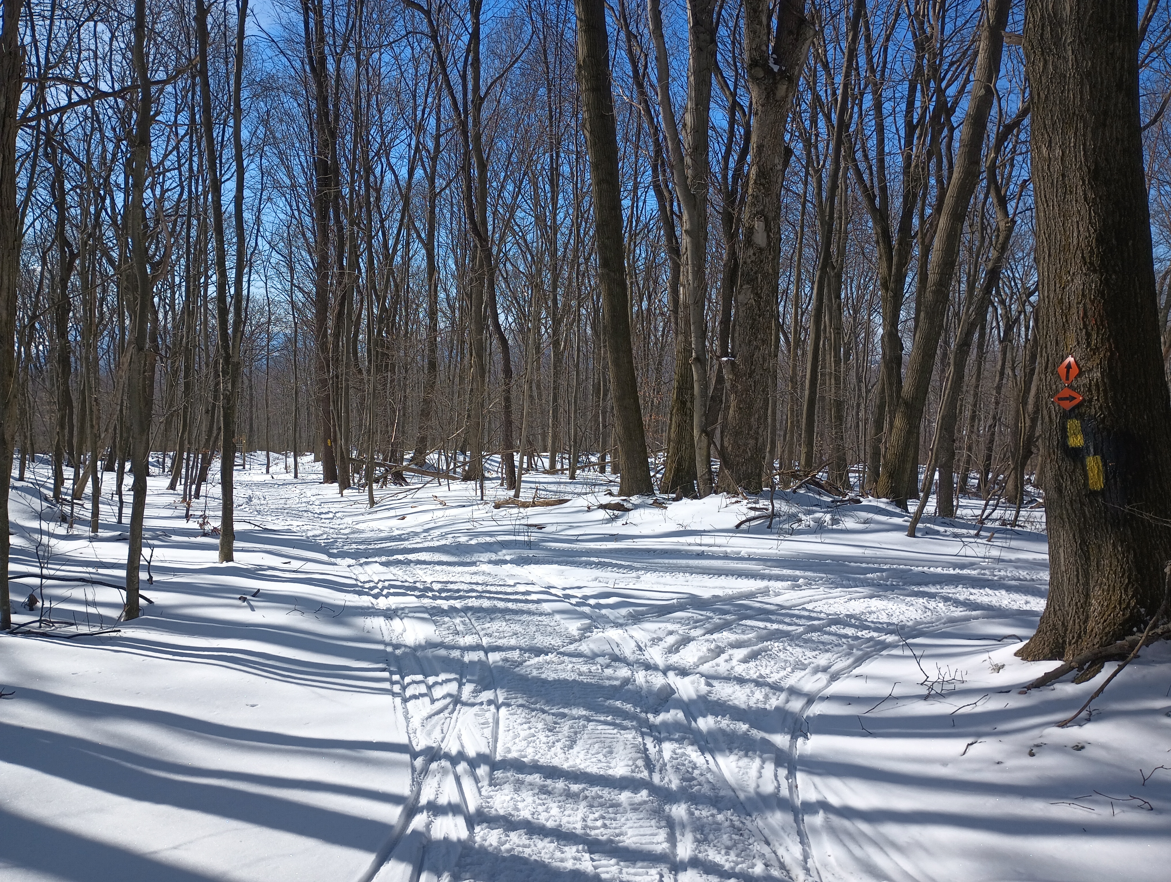
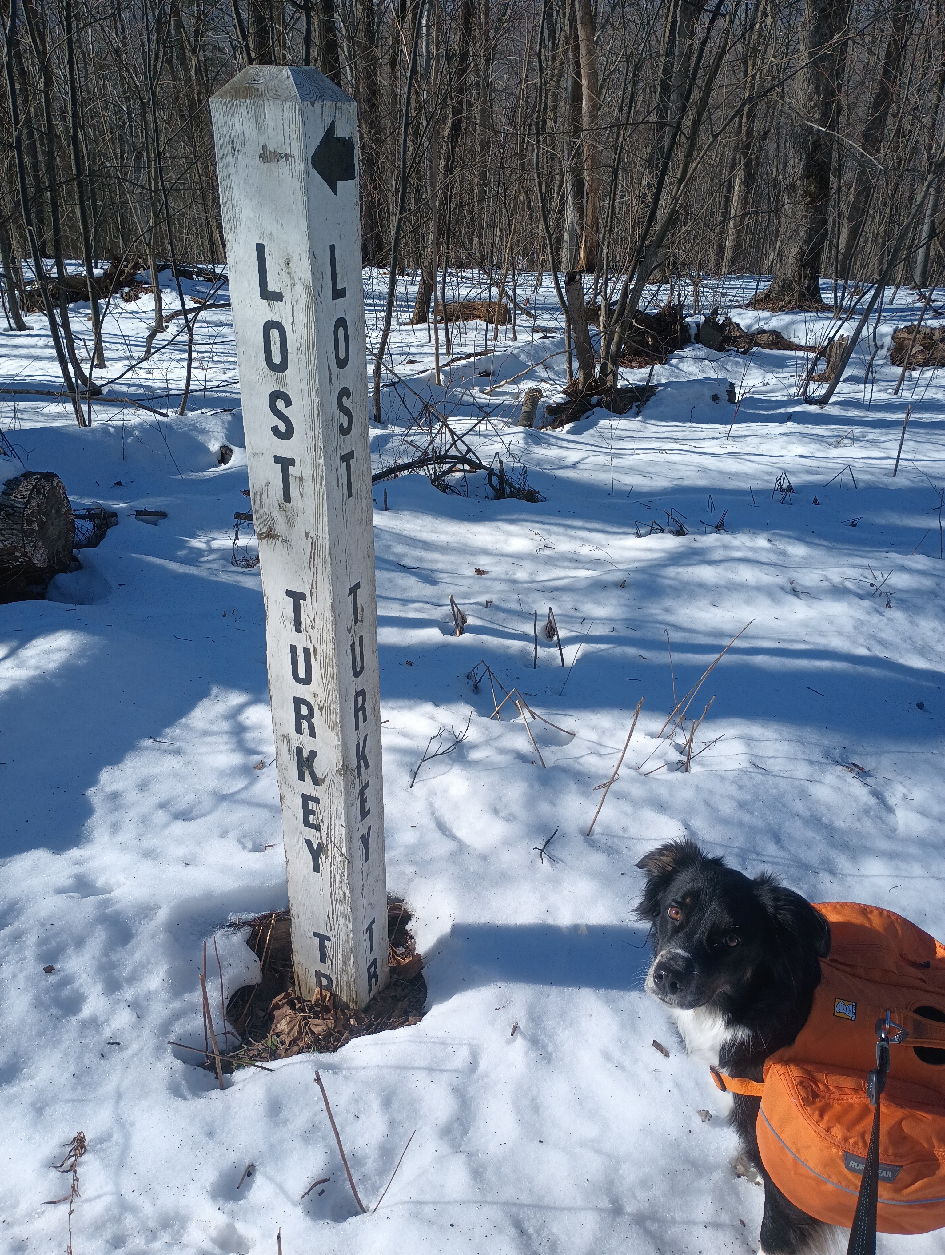
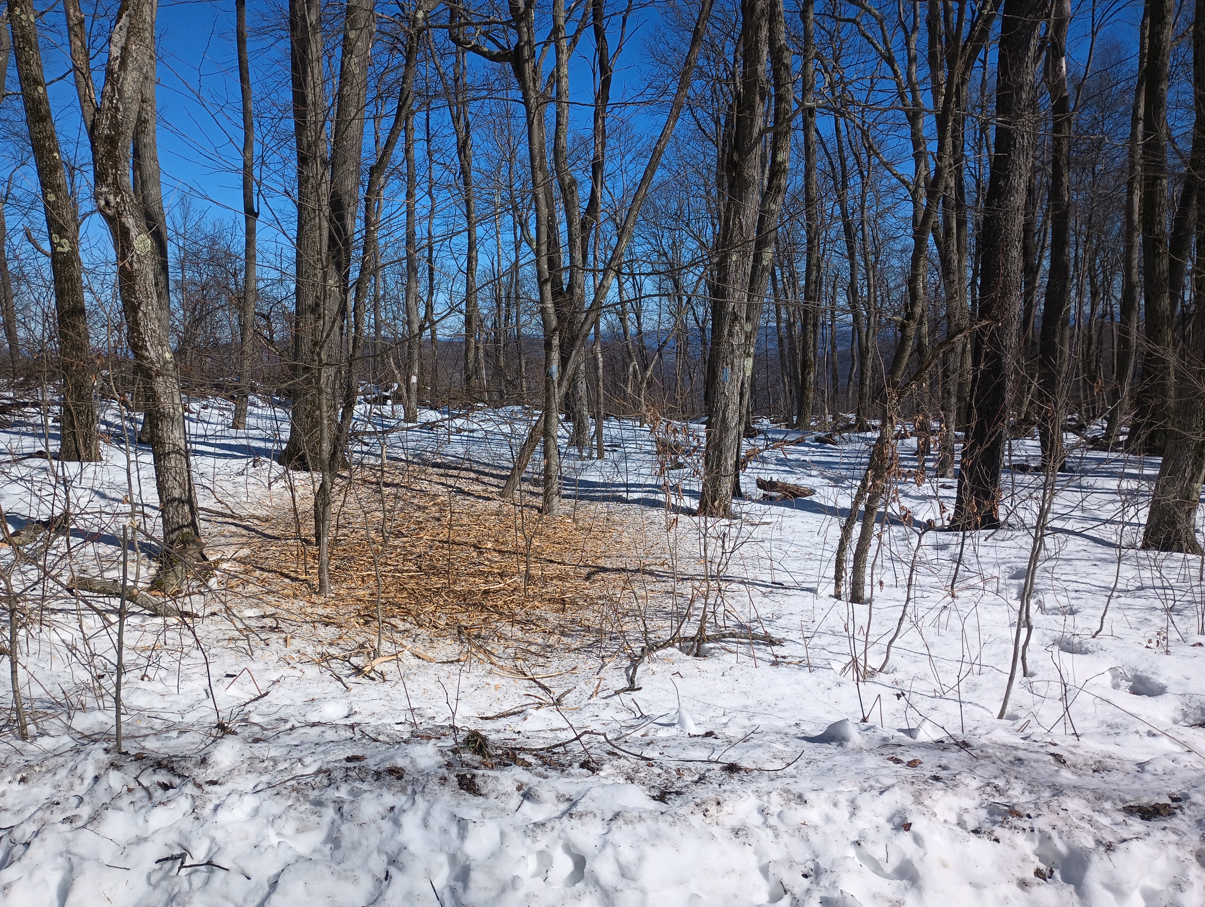
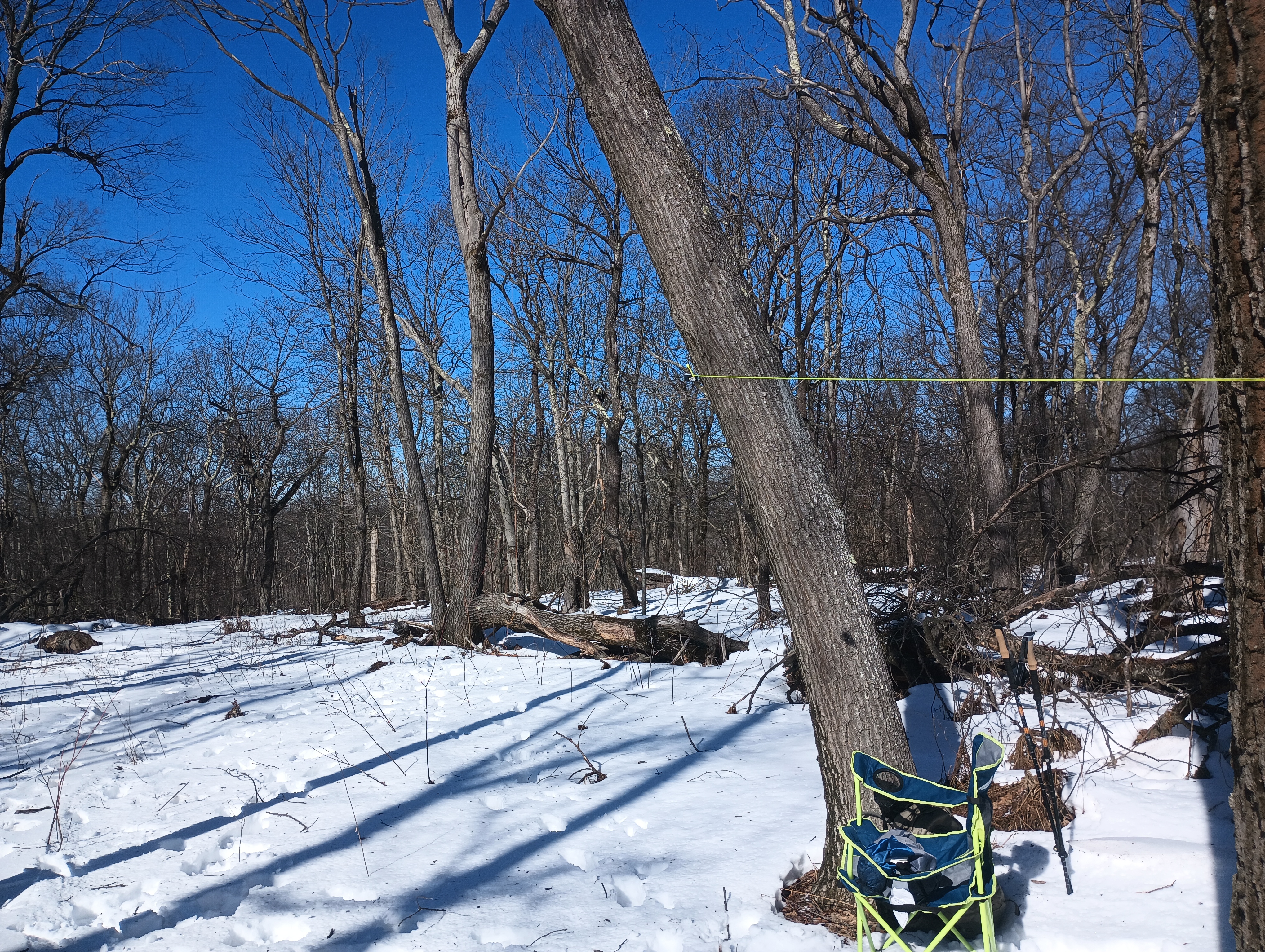
The Rager Mountain Trail crosses a snowmobile track, which I had intended to follow into the activation zone. However, the trails were pristine with fresh powdery snow when we got to them (just after noon), and I didn’t want to muck them up with my footsteps before they were packed down. We jumped off trail here and bushwhacked until I was reasonably certain we were in the activation zone. The snowmobile trail arced in a U around us, and six snowmobiles passed by during the activation (I think it was the same two that passed three times). Luna kept herself occupied by sitting alert as these vehicles whirred by, making sure they didn’t get too close. These were the only other people we saw on the hike.
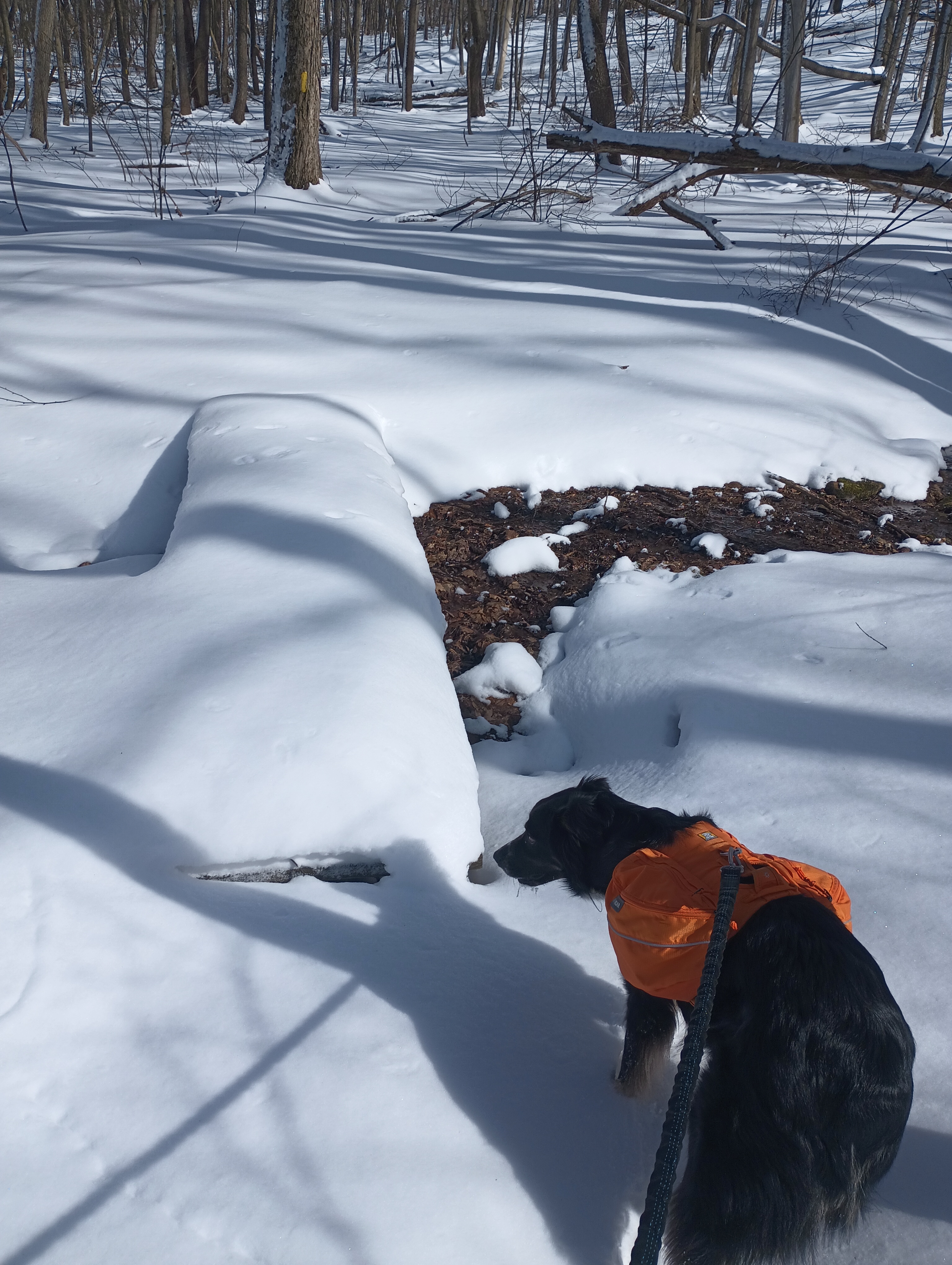
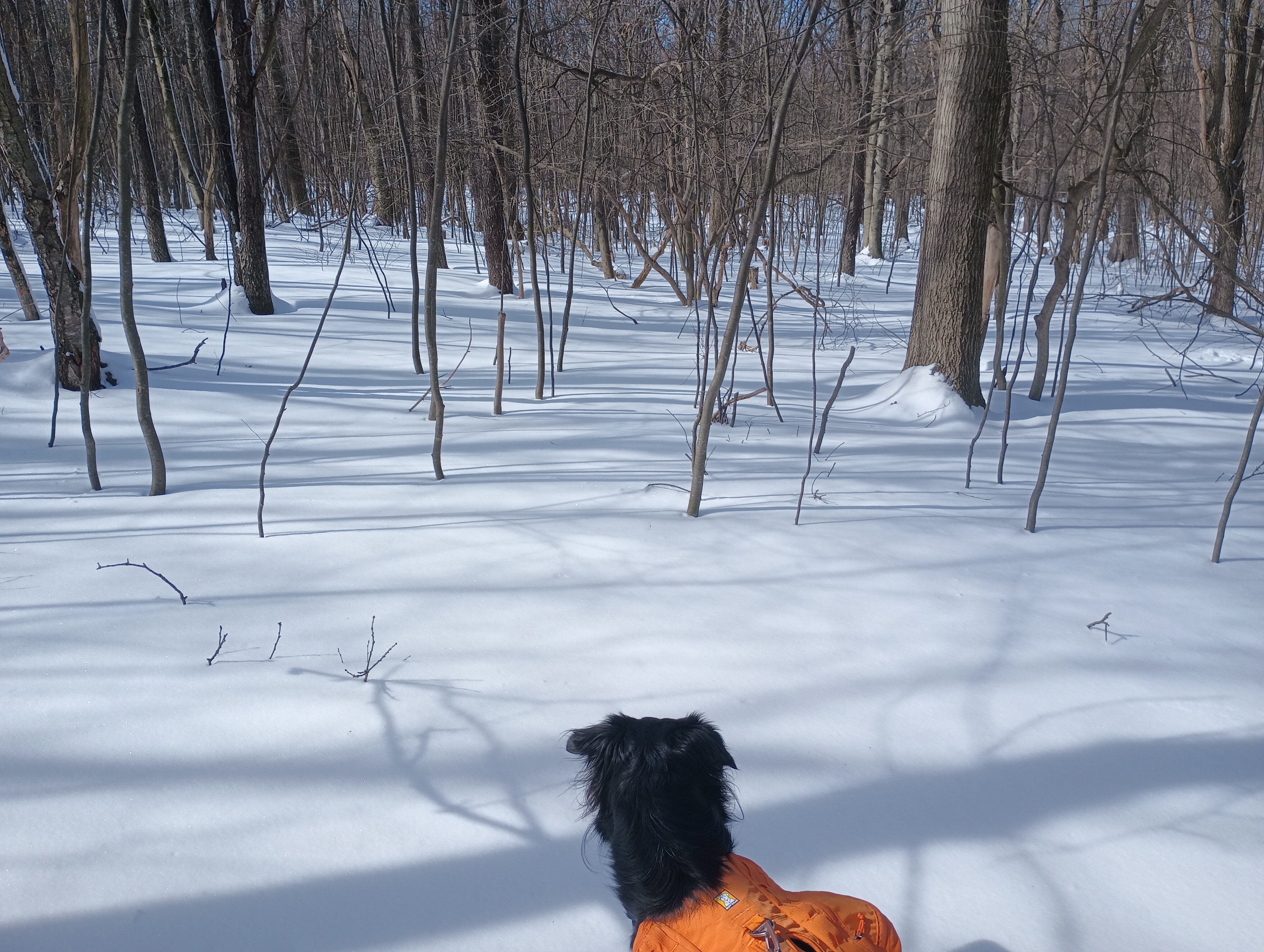
Once Luna had plenty of water to drink and a snack, she settled down to rest and I got a wire up into one of the many trees around us. 10m was in good condition, and I worked AE7I on W6/NS-236 Prosser Hill and K6EL on my former home SOTA peak W6/NC-298 Vollmer Peak. My first SOTA contact was with K6EL on 2m from Vollmer Peak way back in March 2015, nearly 10 years ago! My only other true DX was with the celebrated F4WBN, making it 7 chases from him. K6HPX and WW7D also chased me, and they’re quickly becoming two of my “comfort callsigns,” with 20 and 15 chases, respectively. I spent a bit more time working familiar POTA folks on 20m, and then Luna let me know it was time to go.
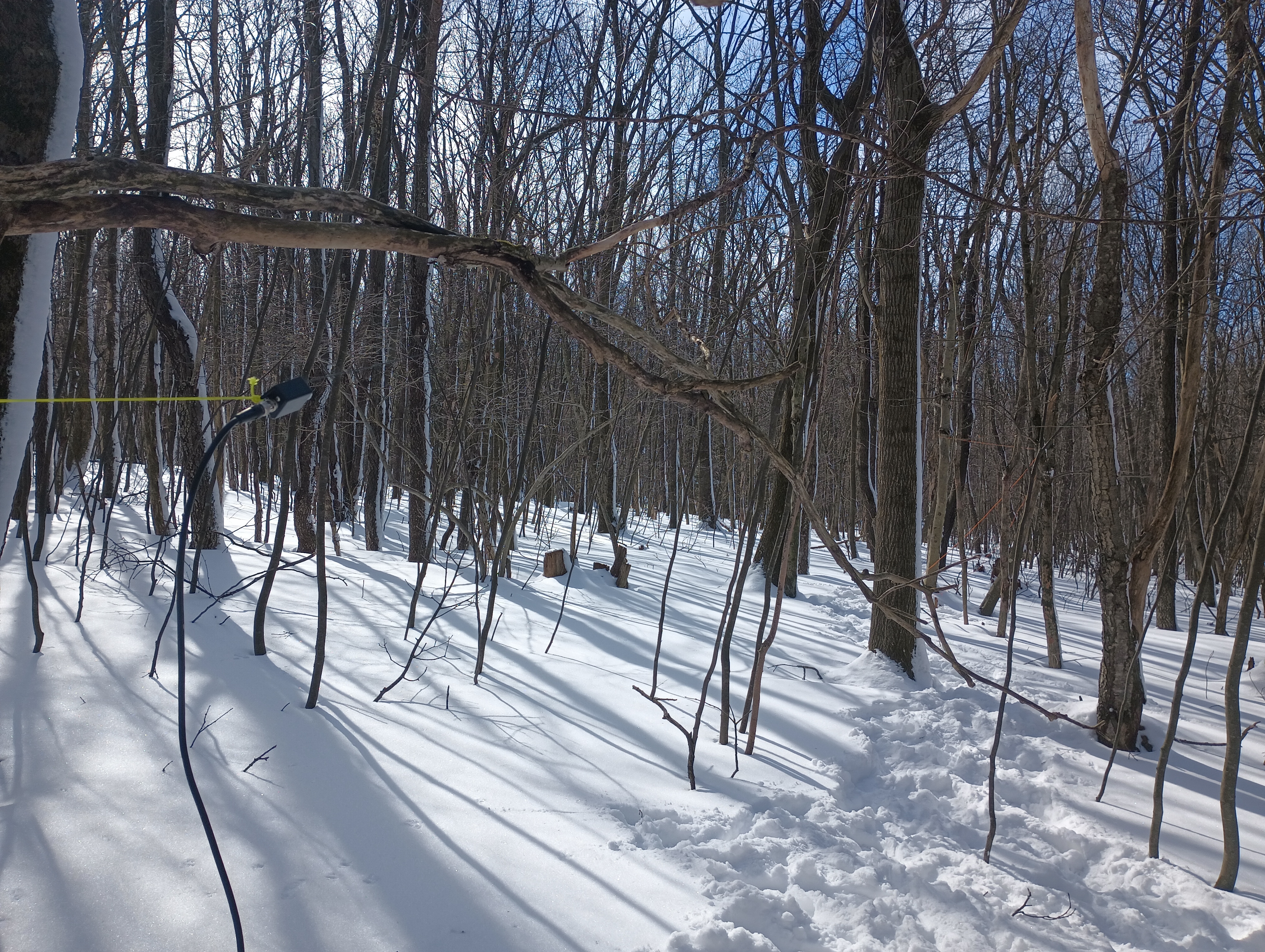
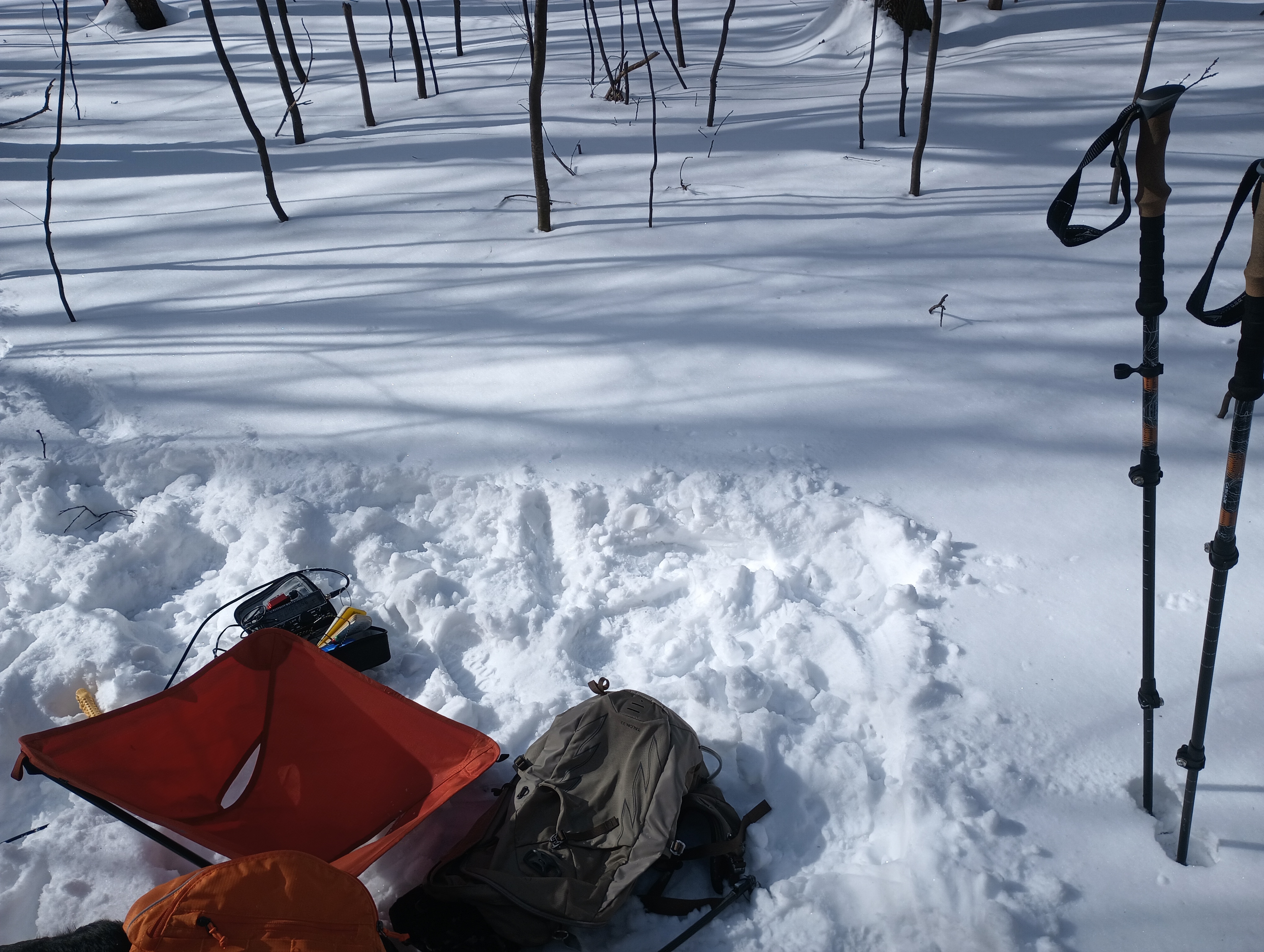
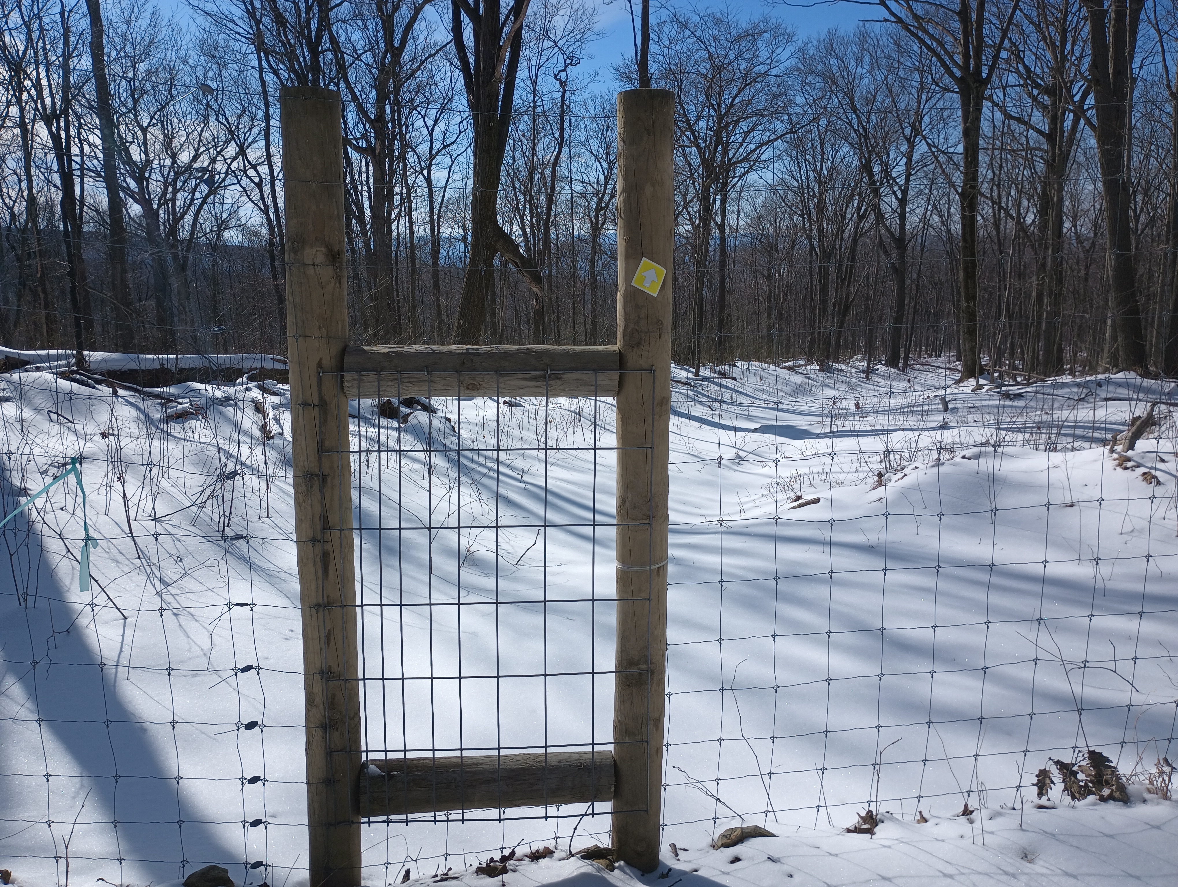
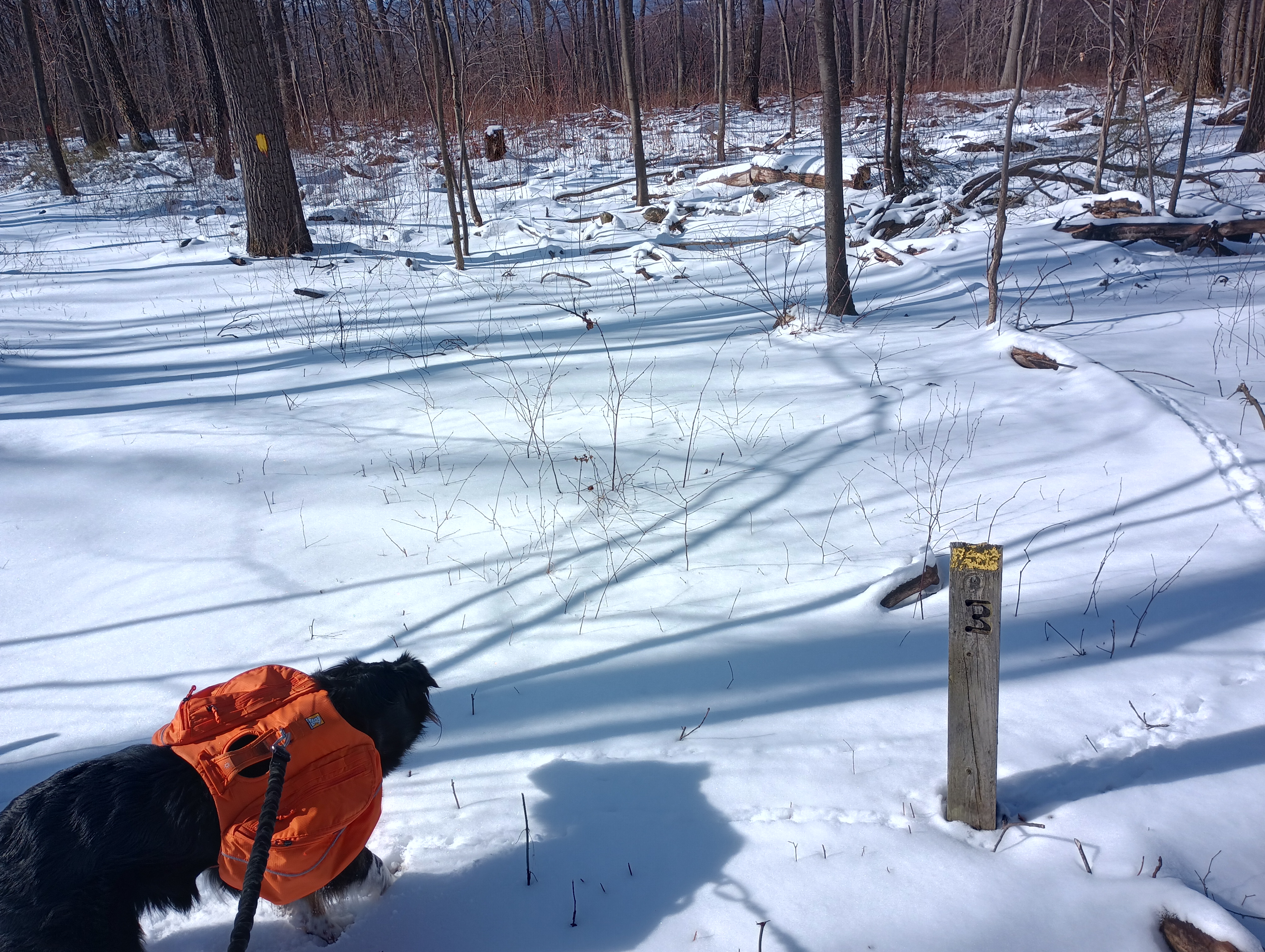
For once, this was a loop hike, so the scenery was different on the way back. The trail crossed another powerline cut and briefly merged with a snowmobile trail. At some point, the trail passed into and out of a fenced area. There were even a few mile markers on the trail. This was a gradual descent and there was much more vegetation next to the trail than on the way up: mostly short green brambles poking out in most places, and eventually rhododendrons.
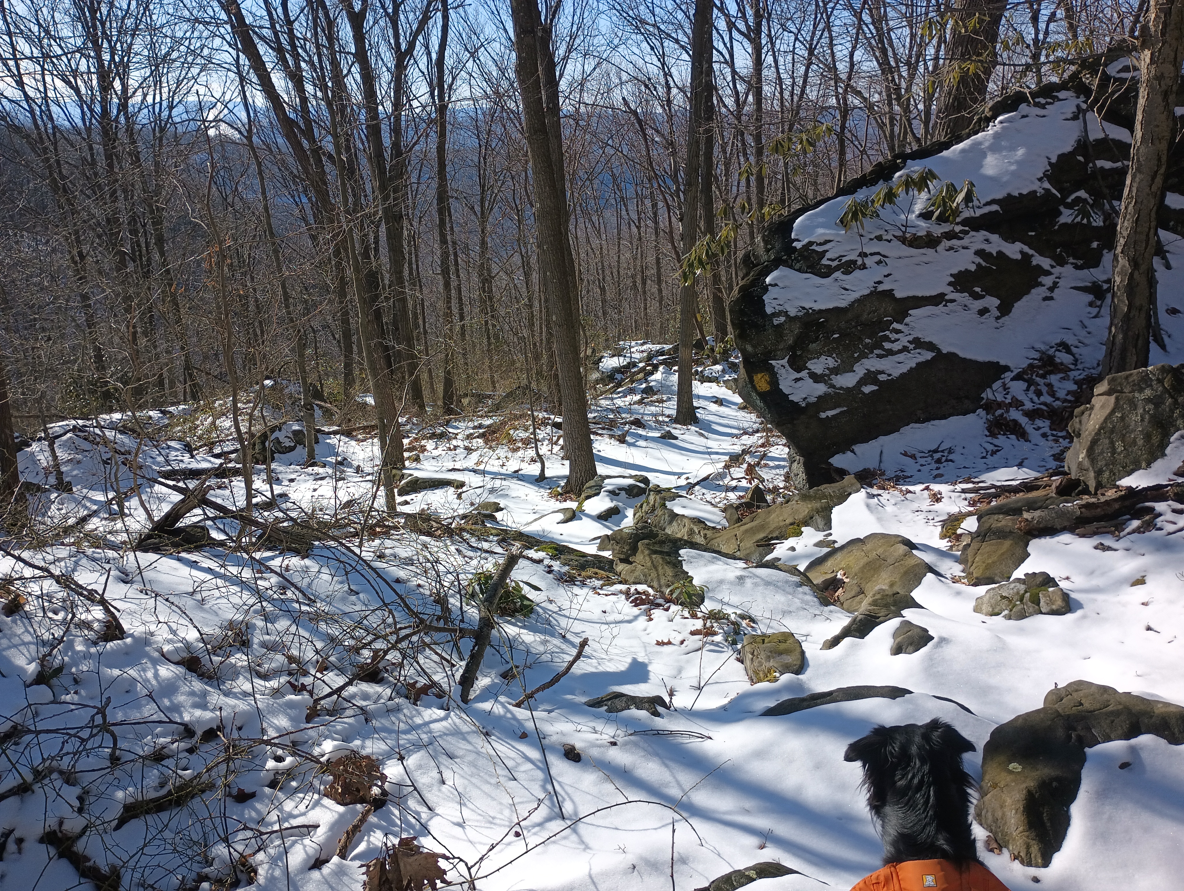
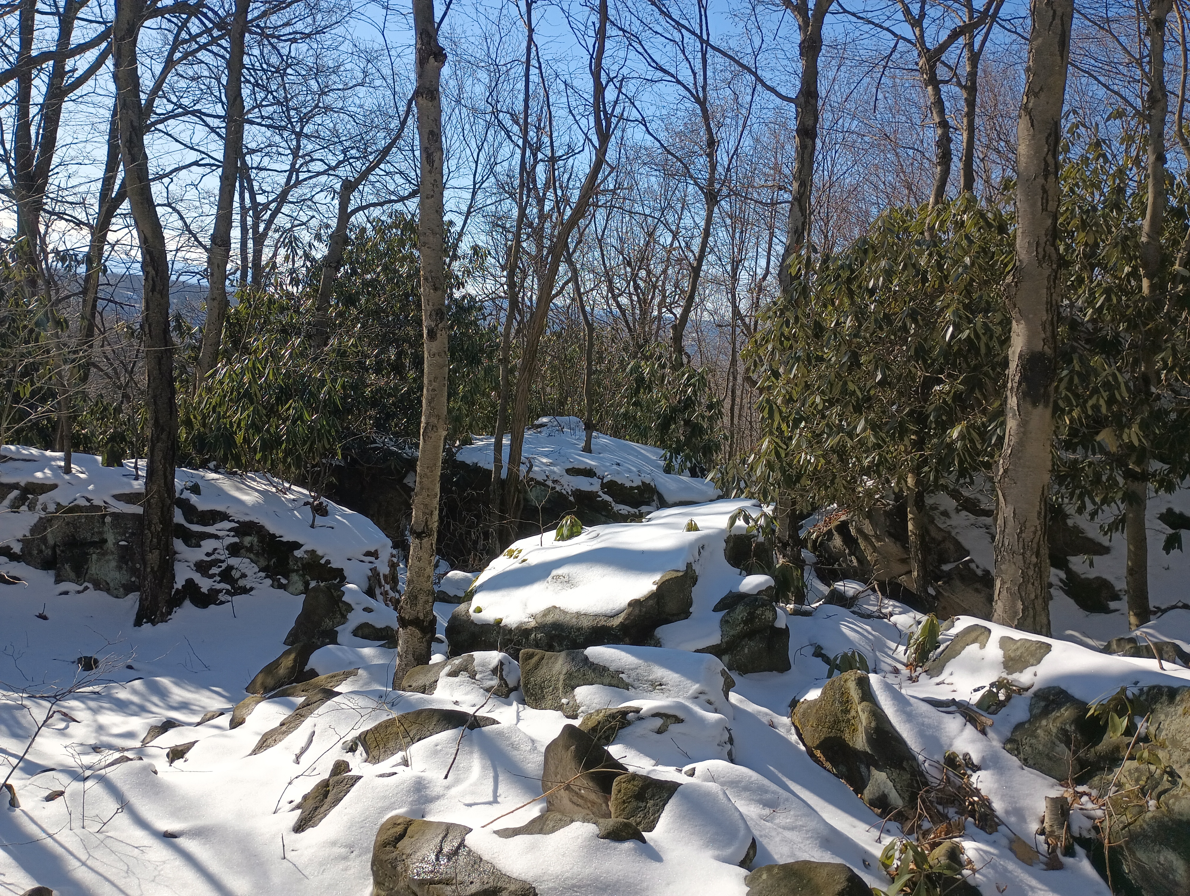
During the last mile or so back on the Clark Run Trail, the terrain got rockier and more uneven, with beautiful snow-capped boulders and rhododendrons everywhere. Pennsylvania was a reputation for really rocky terrain like this, but this was my first time encountering it on a hike. Luna had a good time hopping around, but again I found myself thankful that I brought poles. You would definitely want to watch out for snakes around here in warmer weather; tons of nooks and crannies for snakes to chill under.
After one last steep switchback descent and stream crossing at Clark Run, we were back at the car. Luna’s now got two winter activations under her collar! I’m looking forward to coming back here in other seasons with less snow and ice. It’s a nice hike with good challenge!
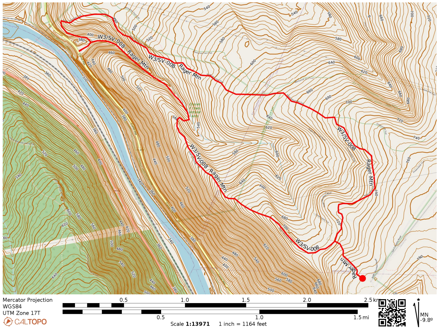
- Trailhead: 40.41106, -78.98527 : Charles F. Lewis Natural Area gravel parking
- Map: [AA3TZ SOTA] [Gallitzin State Forest Public Use Map]
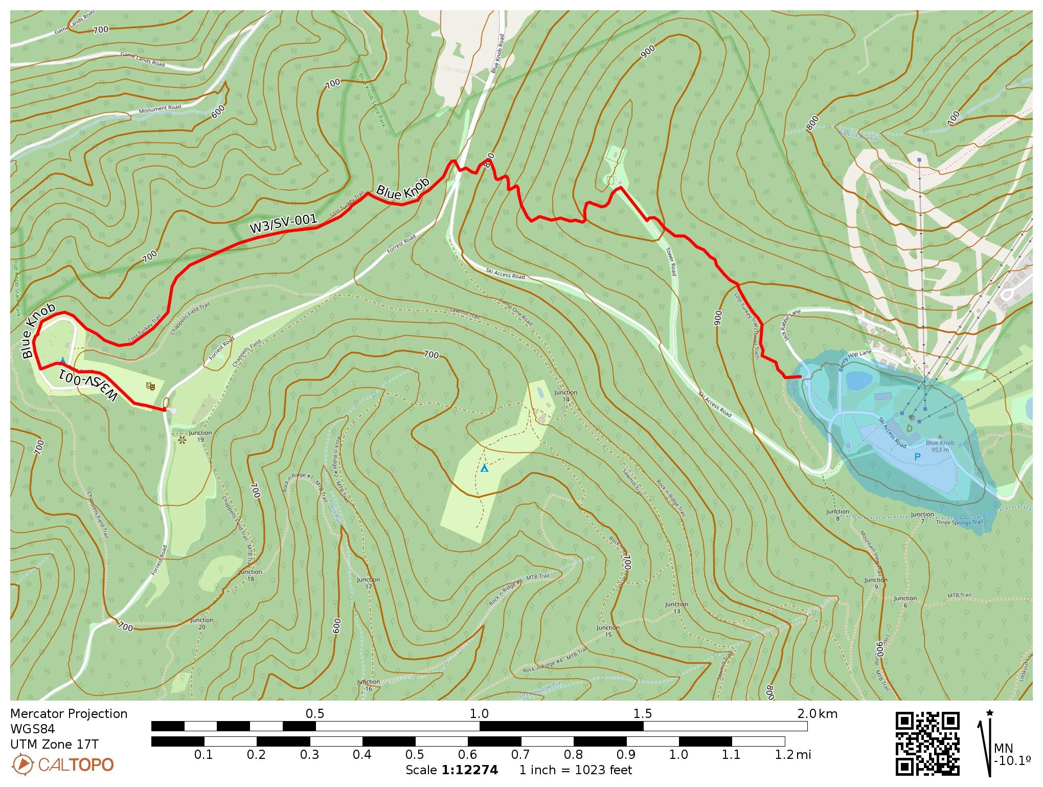
- Route: Approximately 5.5 mile loop hike along Clark Run/Rager Mountain Trail, then alongside a snowmobile trail, 1400′ gain
- POTA: Gallitzin State Forest (US-5469) is partly in the activation zone. The trailhead is in Charles F. Lewis Natural Area (US-0628), but this reference does not overlap the activation zone.
 Tom Zajdel