First Activation of W3/SV-073 1670 

On a weekend trip to Huntington, PA with Luna, I got out for this first activation near Trough Creek State Park and Raystown Lake. While the peak is unnamed in the SOTA database, it is part of Terrace Mountain. It was late March and the temperature was a chilly 30F at the start of the day, but I welcomed that since my route would require 4 mi of bushwhacking round trip along the ridge. I parked at “Area 5,” not far from the famous Ice Mine, a small stairwell into a prospecting hole where cool air gets trapped underground and ice forms on humid days. It was cold enough today, so I refrained from climbing into the dark shaft at this time.

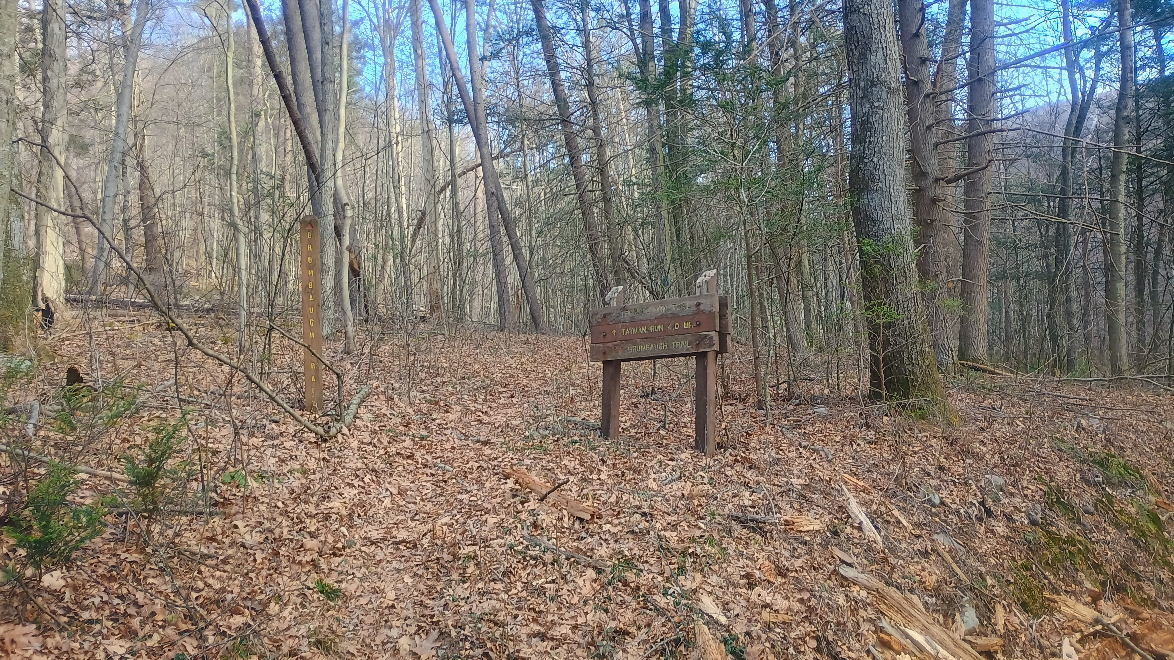
We crossed the bridge to Old Forge Road, and soon made it to the trailhead for Brumbaugh Trail.
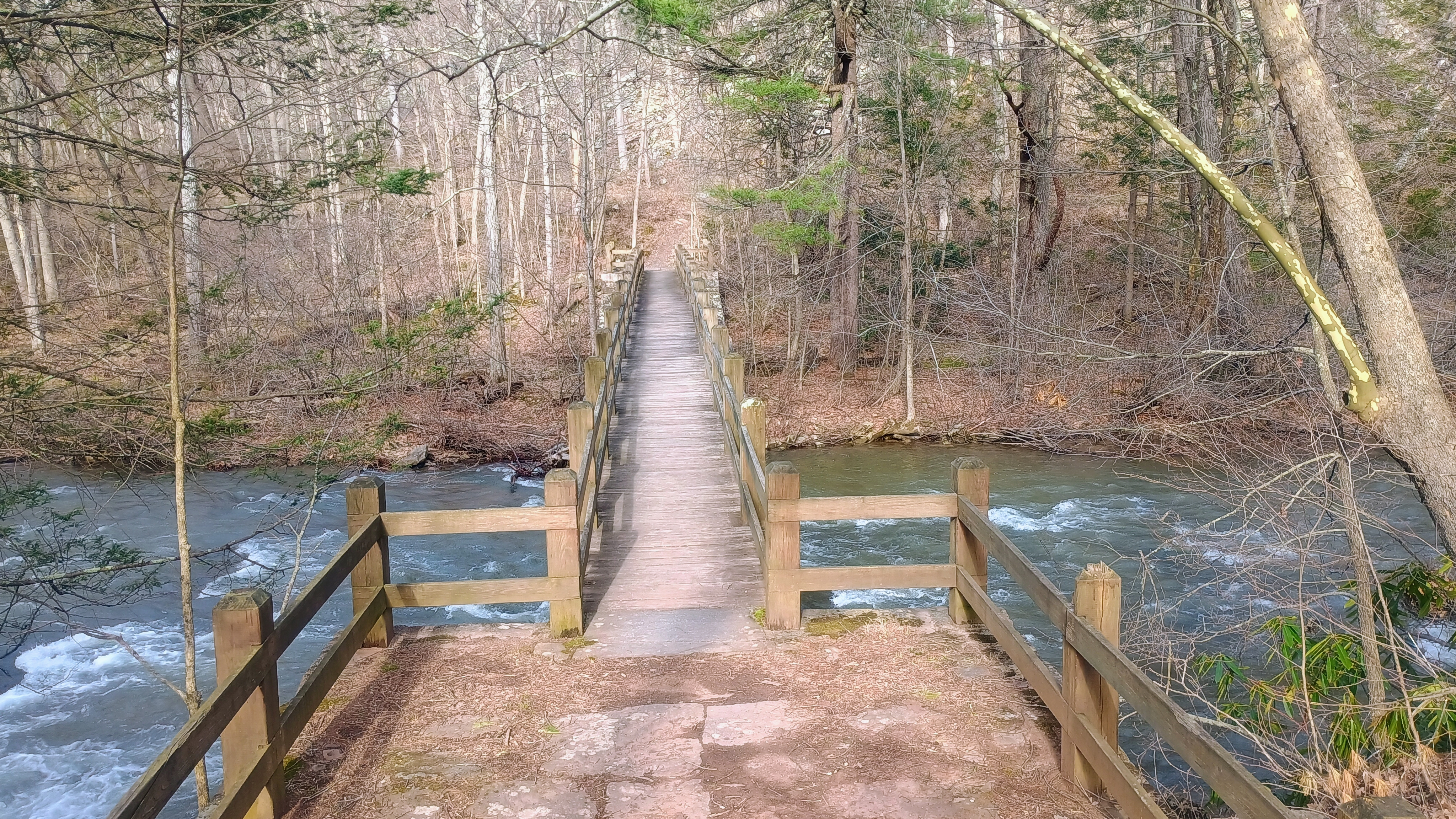
Bridge from the parking area to cross the creek.
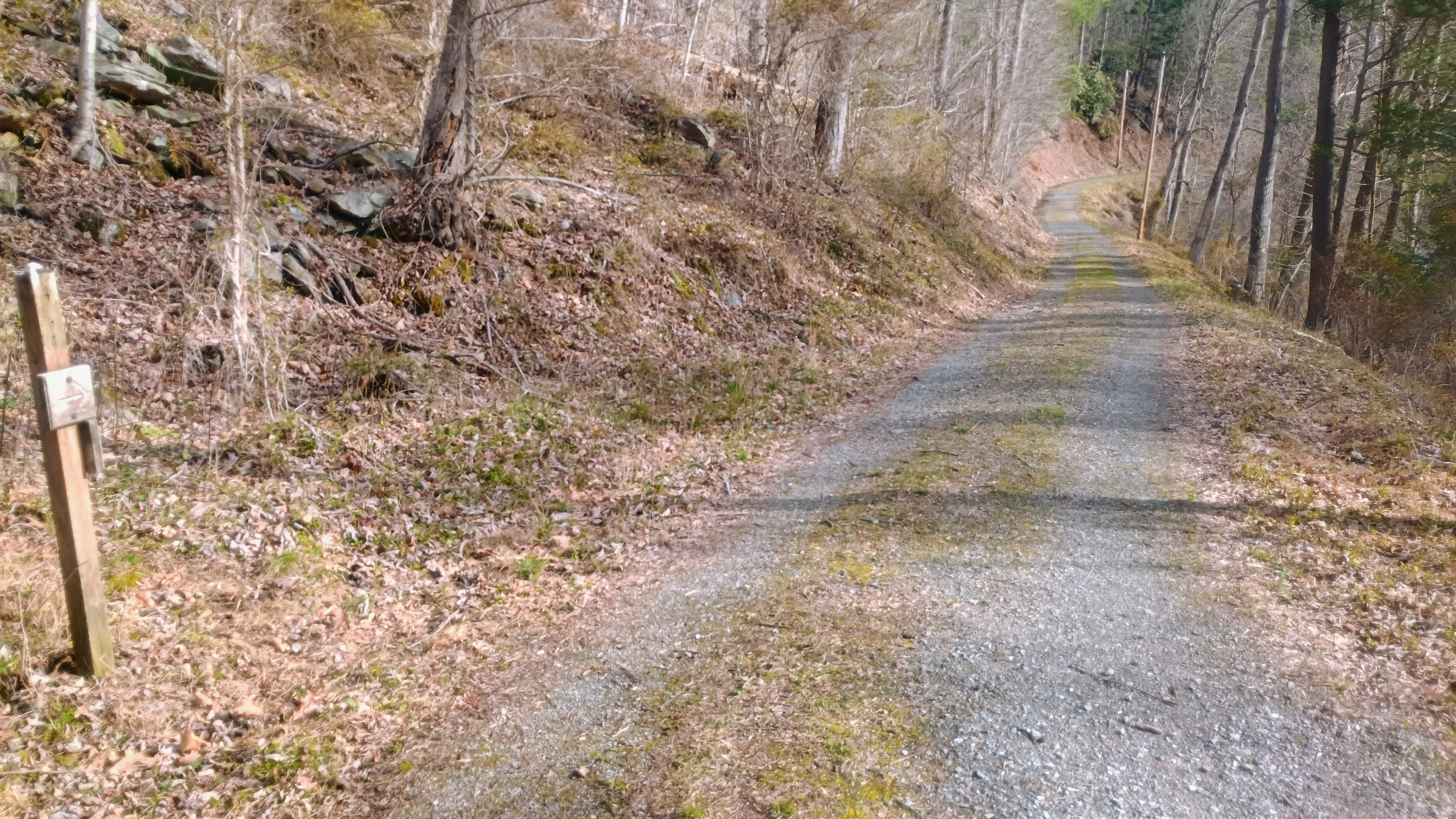
Old Forge Road
Start of Brumbaugh Trail

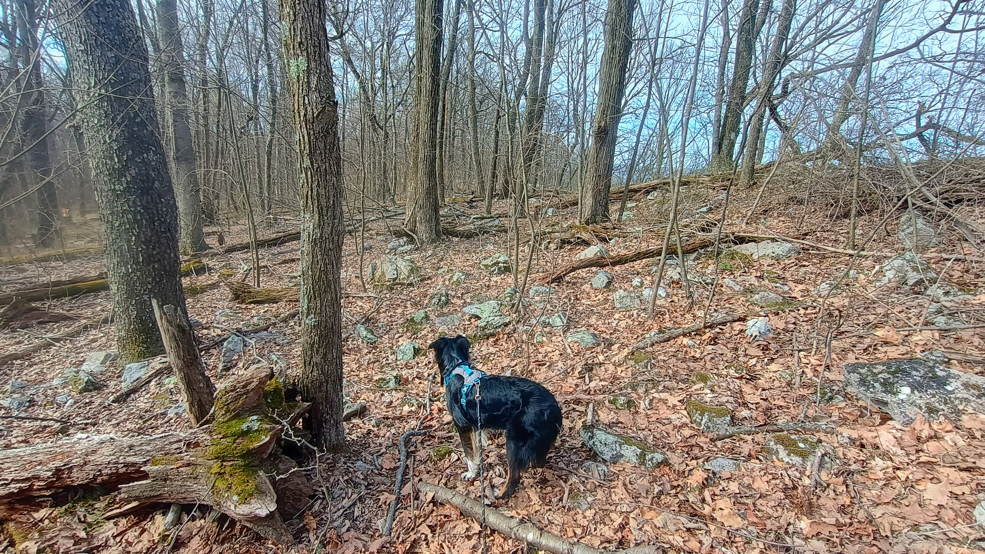
We climbed 750 feet of gain across just over mile on Brumbaugh Trail to get to the ridge of Terrace Mountain. The trail is marked with faded fed blazes. At this ridgeline, we were in the Trough Creek Wild Area of Rothrock State Forest, and about 2 miles of a bushwhack ridge walk was left to get into the AZ. It was a bit of a slog. There wasn’t much brush growing in early spring and the forest is fairly open, so it was pretty easy going, though Luna and I still kept getting her leash twisted around trees.
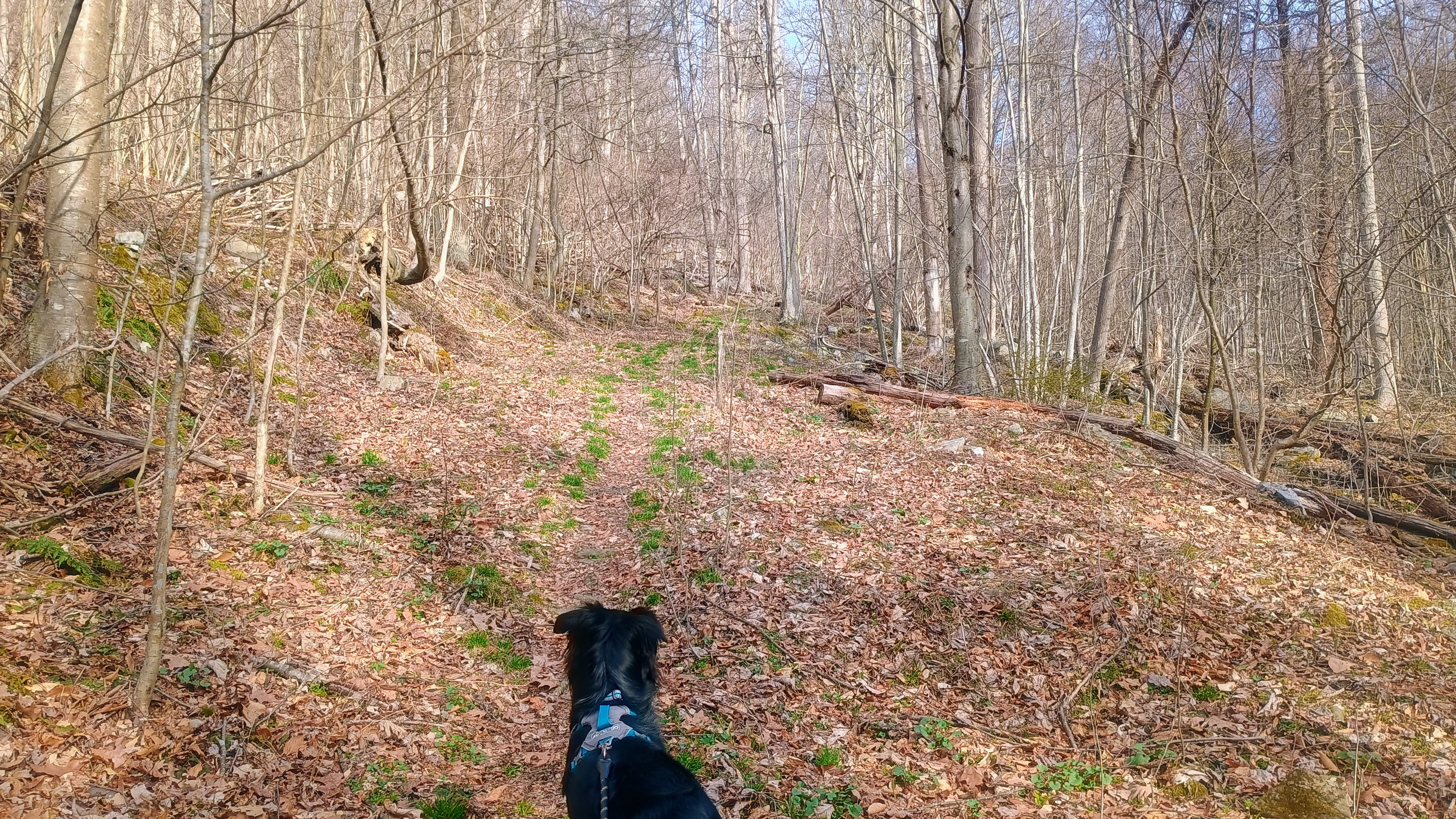
Luna looking up the trail.
Heading off trail along the rocky ridge.
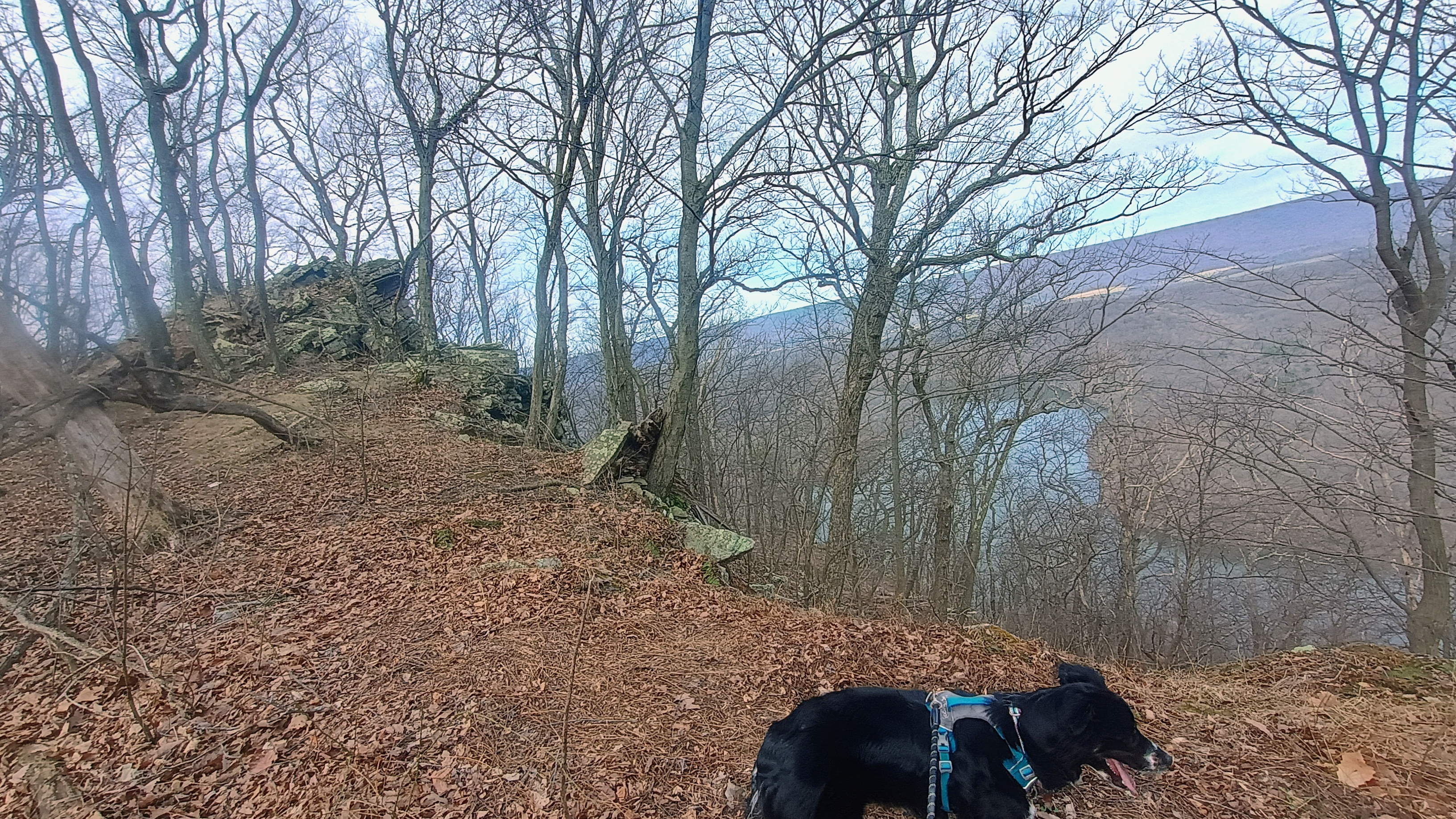
Along the way are some nice views of Raystown Lake.
Getting close to the AZ here.

It had started to warm up to about 40F once we made it to my operating point. Luna was quite tuckered, so she laid down after eating a snack and let me get going with the radio stuff. After working F4WBN and EA1AER on 15m, I switched to 40m and stayed there the rest of the activation, since it was still fairly early in the day. I really do enjoy working the locals!
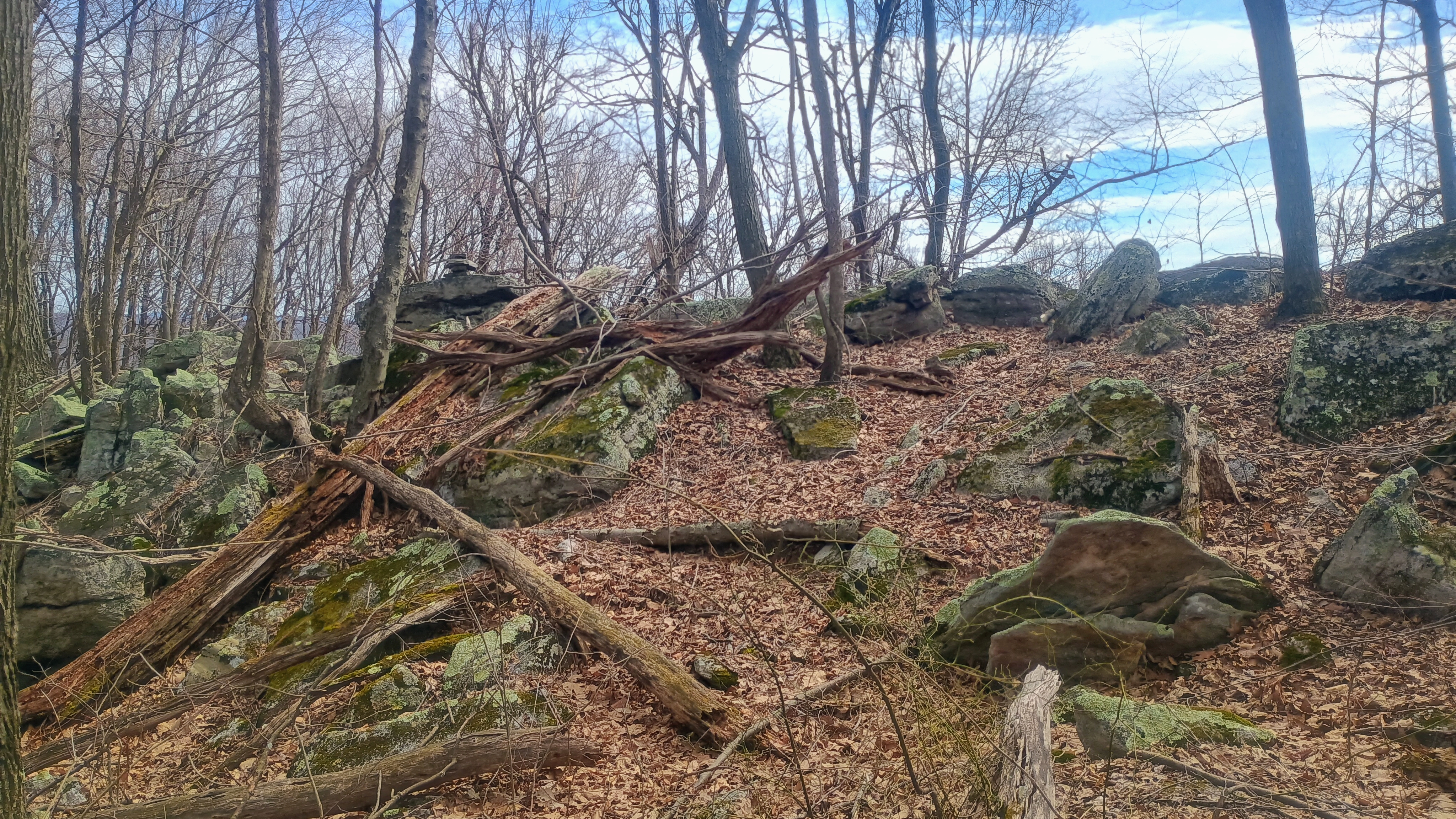
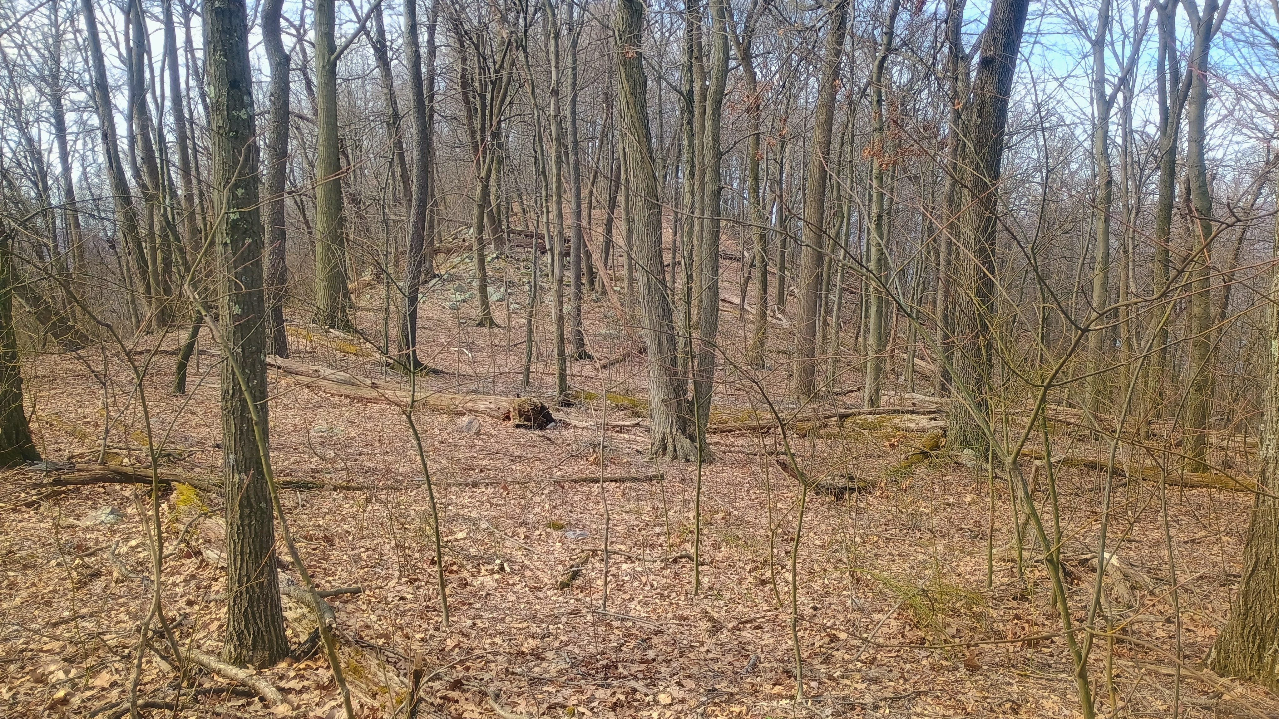
View of the activation zone.

I got three S2S: Ron NR3E on W4K/EC-001 Black Mountain, the high point of KY, Roy WN3F on W4V/SH-012 Old Rag, a famous hike in Shenandoah, and Eric VA2EO on VE2/ES-014 in QC. Luna, no doubt emboldened by her success following our track back from Backlog Mountain the day before, took the lead on our return hike. She lost our trail almost immediately (or perhaps decided to follow the scent of some woodland critter), but I am glad we had my GPS as backup.
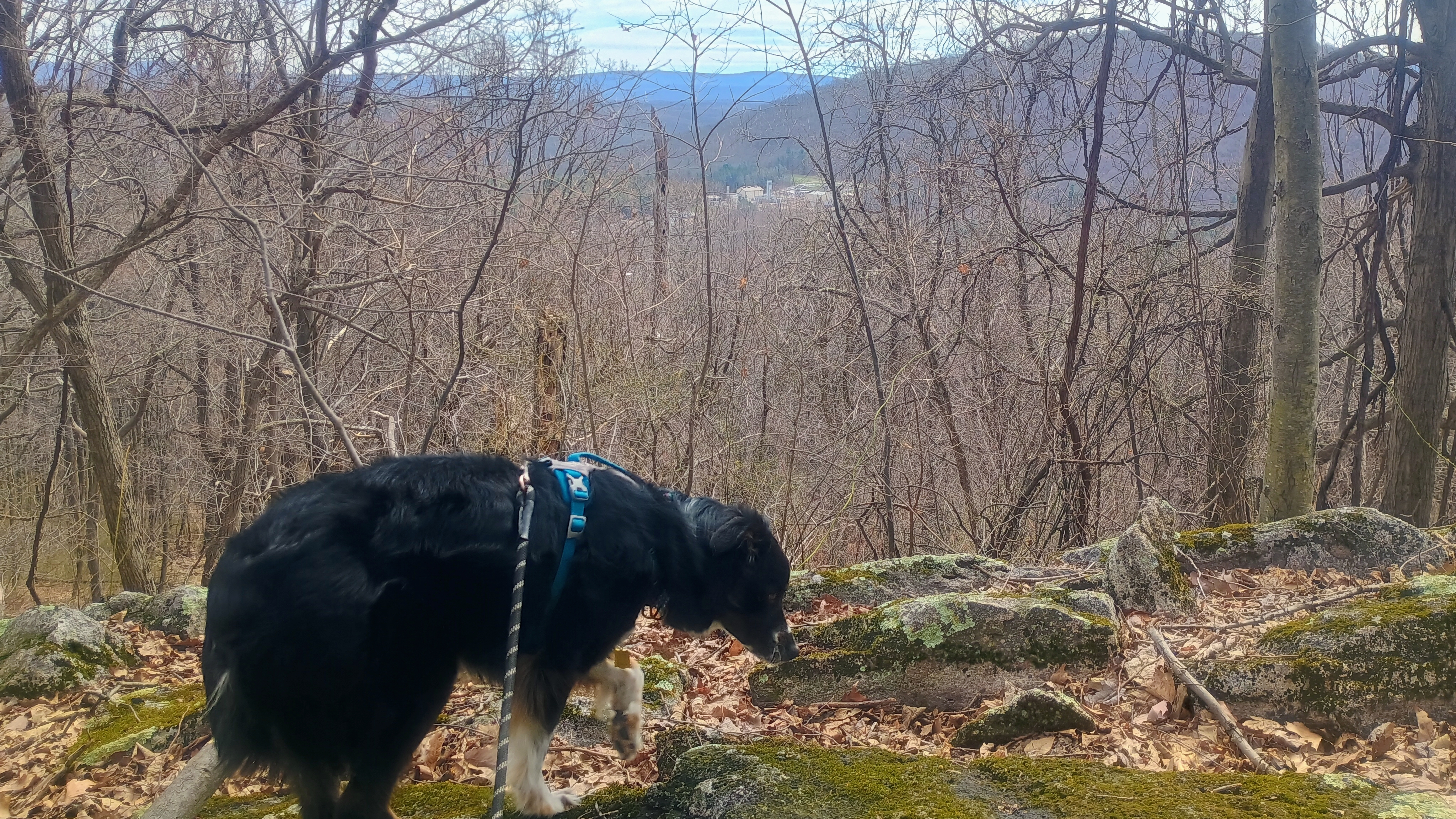
Luna’s trying to sniff out our path for the return hike, but I think this track was a little long for her nose. That, or she started tracking a chipmunk instead.

There aren’t many SOTA first activation candidates like this left in PA. The entire approach and AZ are on public lands, and only real obstacle is to bushwhack a while. It was nice to get this one activated for W3 SOTA, and for Luna to notch her first FA as well!
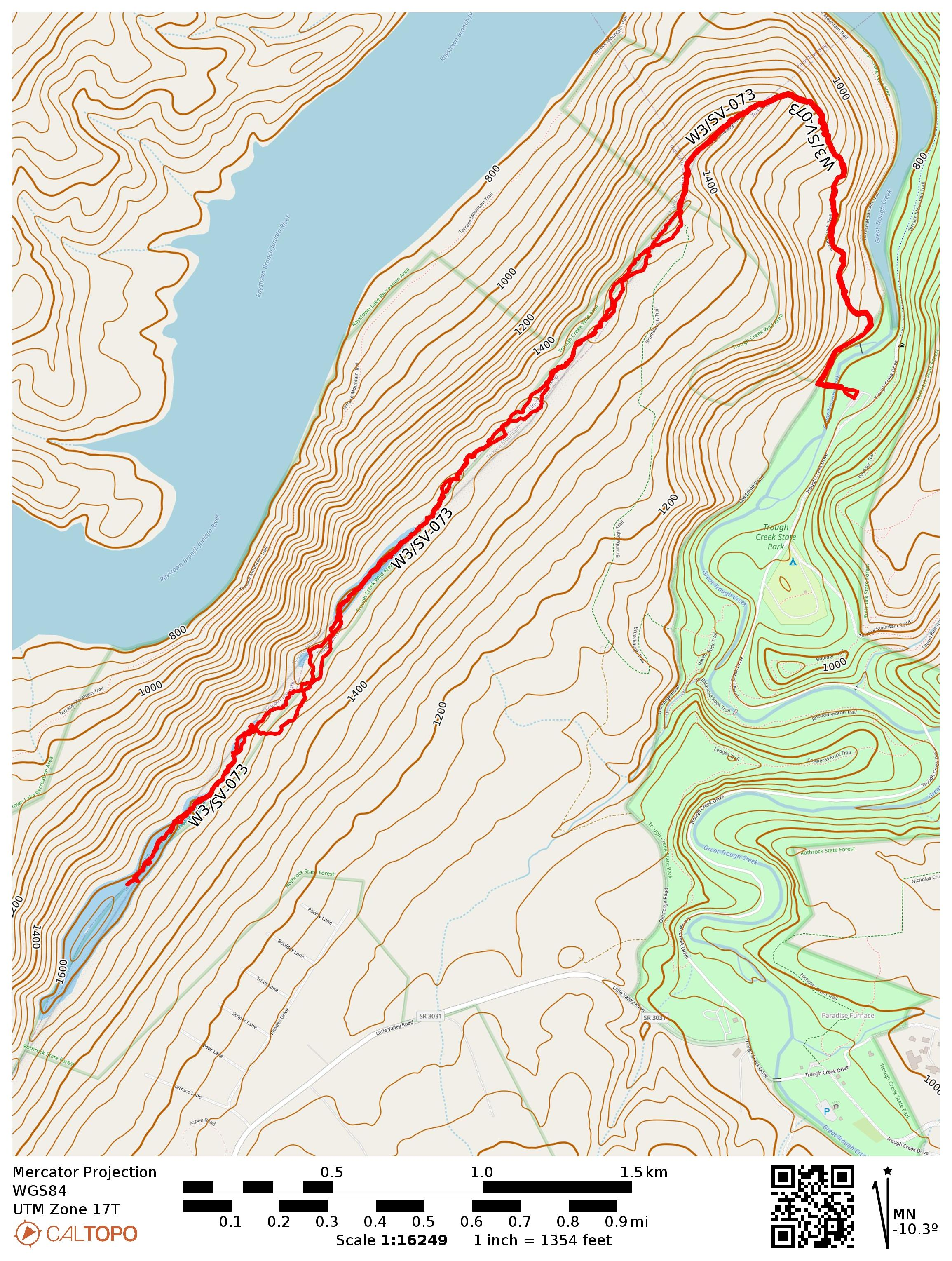
  • Trailhead: 40.3308,-78.12498 : Parking Area 5 in Trough Creek State Park
  • Maps: [AA3TZ SOTA] [Trough Creek State Park Map]
  • Route: Brumbaugh Trail to Terrace Mountain ridge, then ridgeline bushwhack for 2 miles. Nearly 7.0 miles RT.
  • POTA: Rothrock State Forest (US-5474)
W3/SV-080 First Activation of 1370

This peak, within Raystown Lake Recreation Area, had not yet been activated, a rare W3 peak on public land without any SOTA activations. Raystown Lake is a large, meandering lake created by a dam used for hydroelectric power and flood control, managed by the US Army Corps of Engineers. Recently having finished the Thousand Steps Hike to Jacks Mountain 2315, my legs were feeling tired. Still, the promise of a potential FA kept me going.

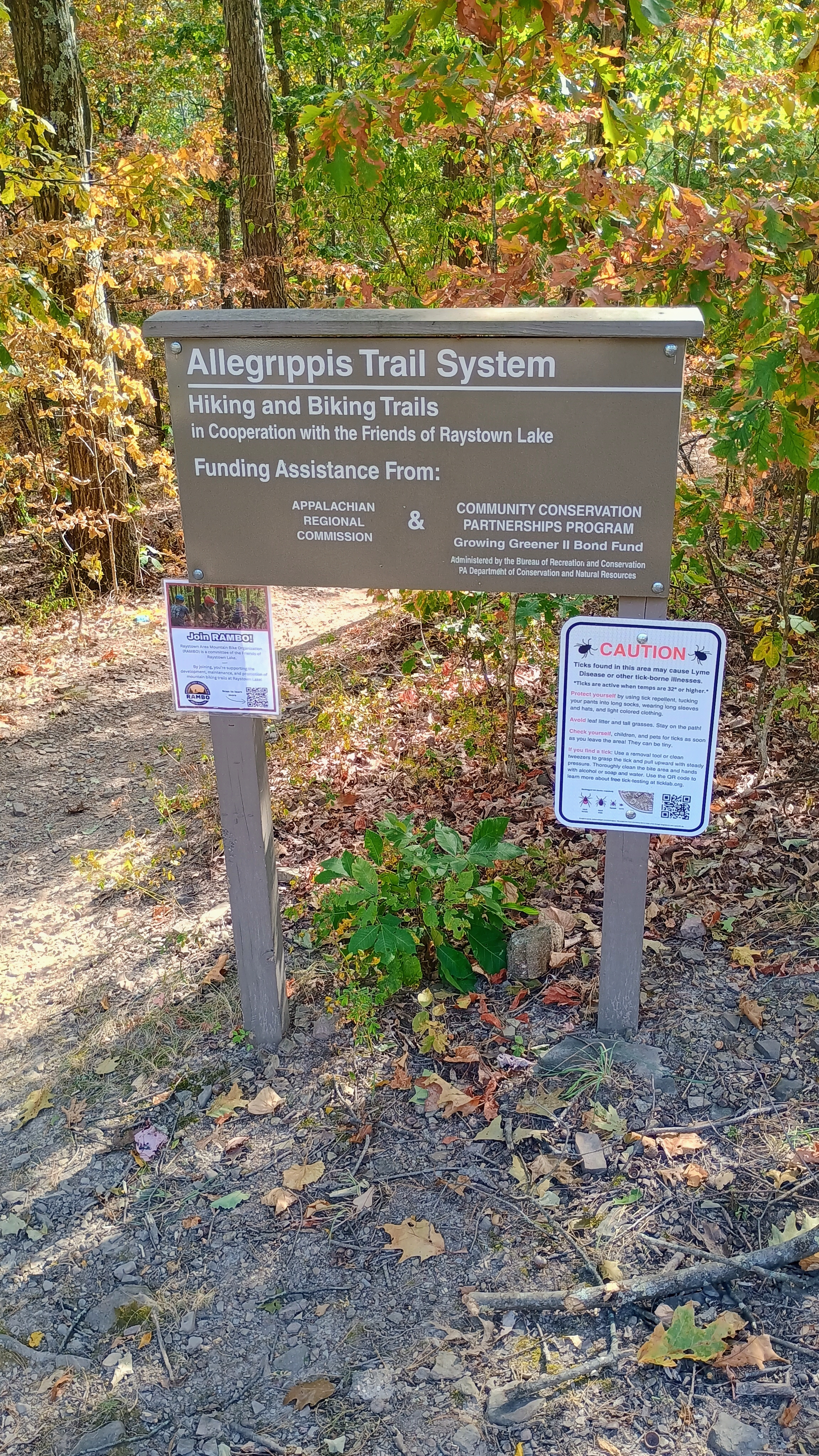
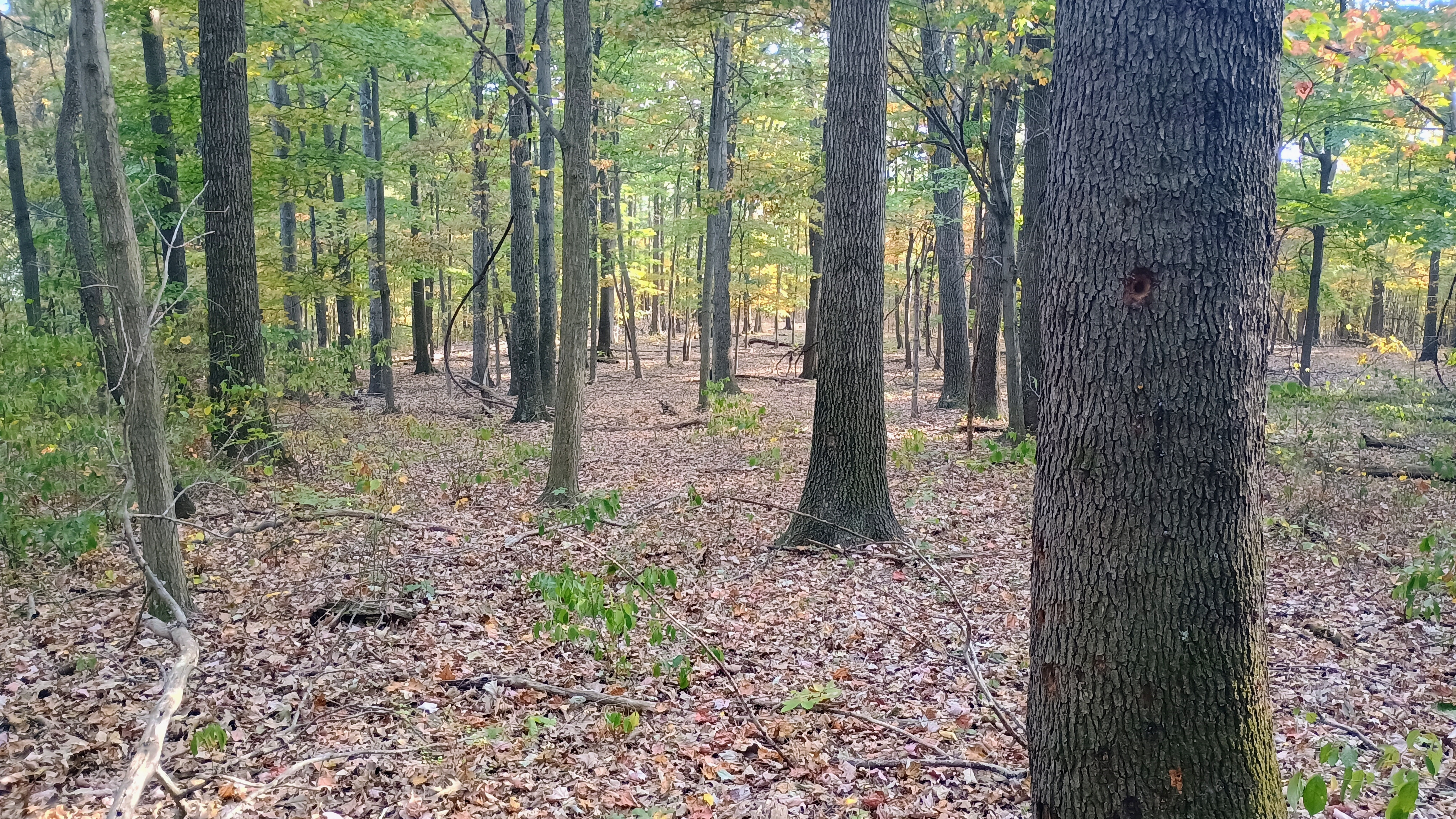
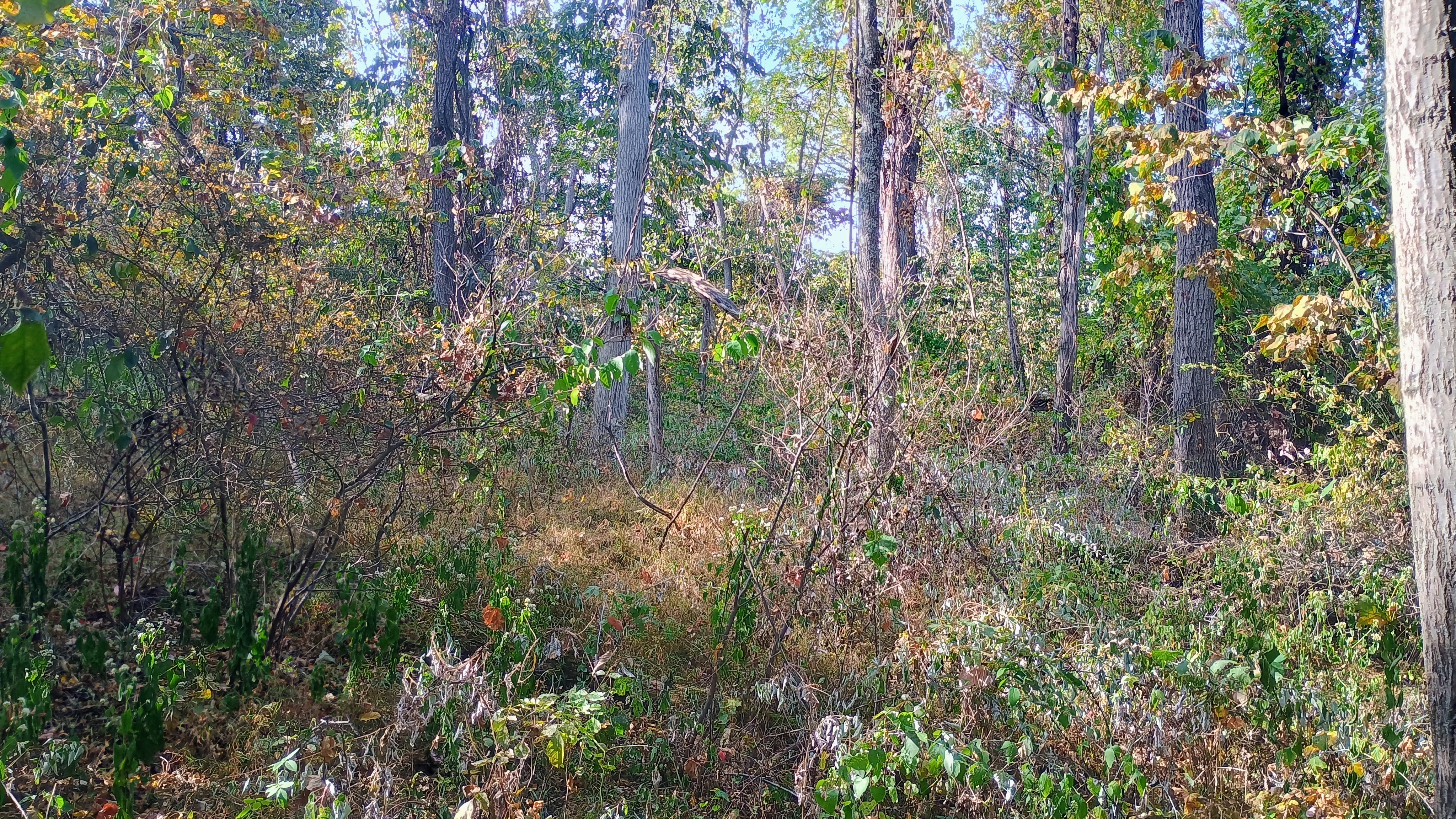
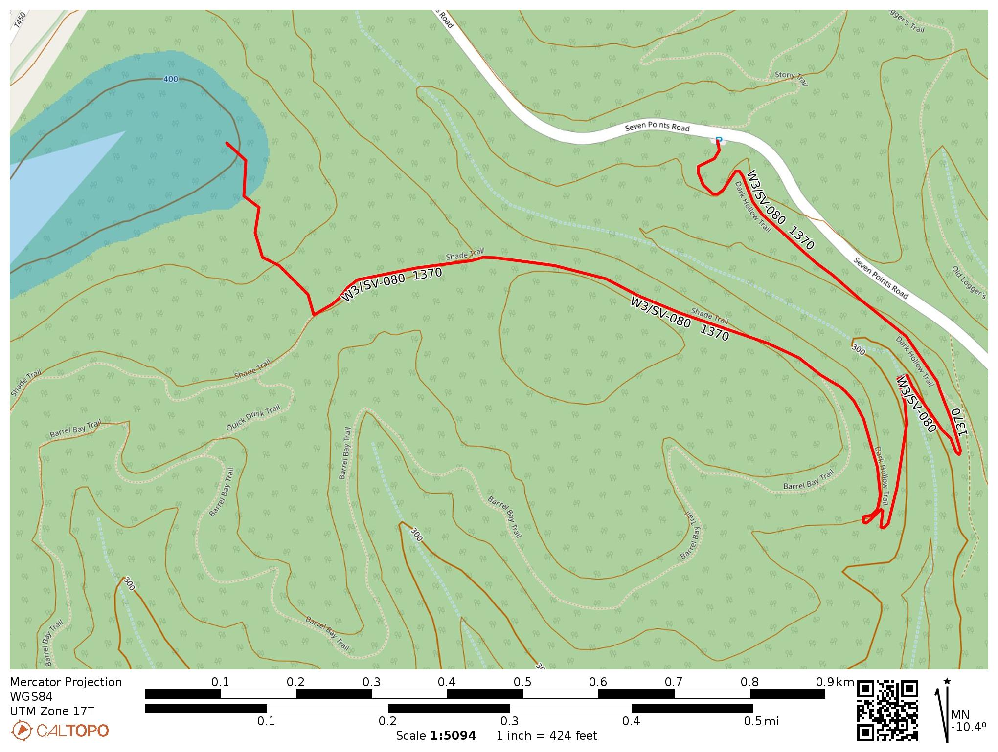
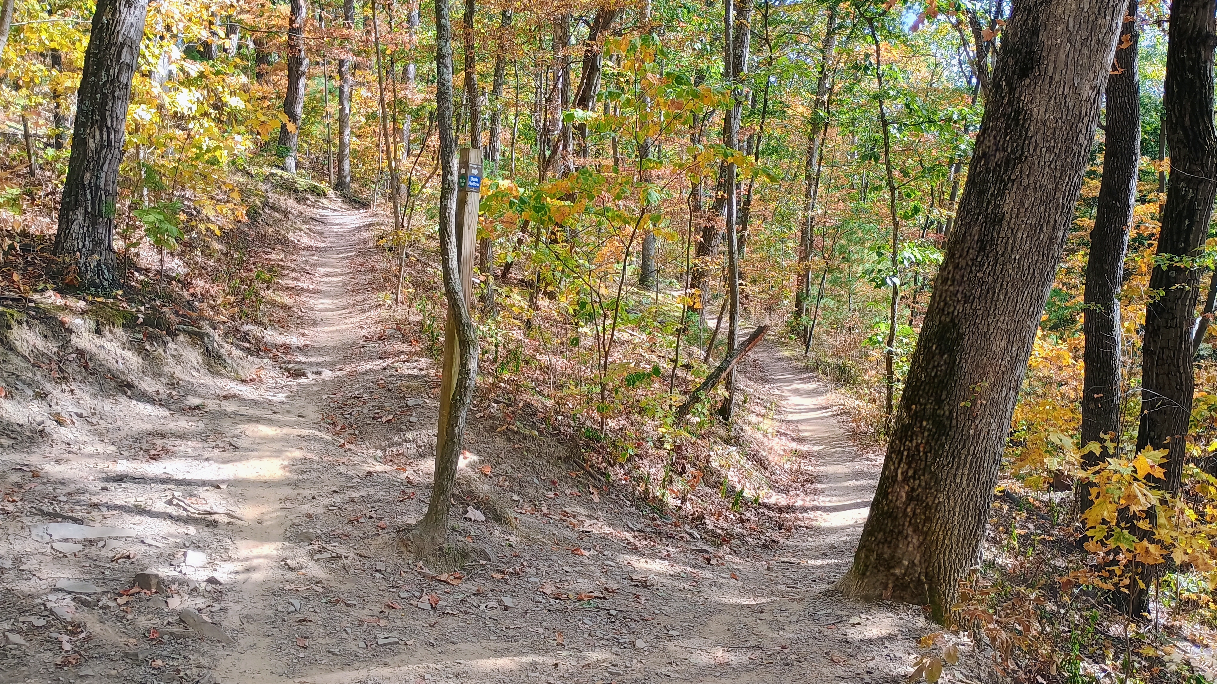
I parked off Seven Points Road, at a trailhead with access to the Allegrippis Trail System. Hiking is allowed, but these trails are definitely built for mountain bikes, with banked turns and gradual inclines. I followed the Dark Hollow Trail and Shade Trail towards the activation zone, which descends down into a creek bed and climbs back up. The final approach required about 500 feet of bushwhacking, which is why I suspect this peak had not yet been activated. I walked off trail at approximately 40.38846, -78.09365. I was able to avoid most dense brush while gradually making my way to the activation zone.

I chose to stop within the AZ when the brush got more dense and started operating. The bands were starting to wake up from their summer hangover, and I was able to quickly get 14 QSOs. Most notable was a 30m S2S with another First Activation, VE3/DJ4MZ on VE3/SO-020! Shortly after working the trusty duo of W0MNA and W0ERI on 20m, my battery died. I had really worn it down lingering on the morning SOTA site.

With the required QSOs made, and my backup battery back at the campsite in Trough Creek State Park, I got going. The round trip hike took about 3.00 miles and had 600 feet of elevation change.

  • Trailhead: 40.39062, -78.08732 : Allegrippis Trail System – Raystown South Loop Trailhead
  • Map:  [AA3TZ SOTA] [Allegrippis Trails Info]
  • Route: 3.0 mile RT hike on singletrack MTB trails, then off-trail bushwhack for 500 feet into the activation zone; 600 feet of total elevation
  • POTA: None. Raystown Lake Recreation Area is managed by US Army Corps of Engineers, which is not recognized as a POTA site steward.

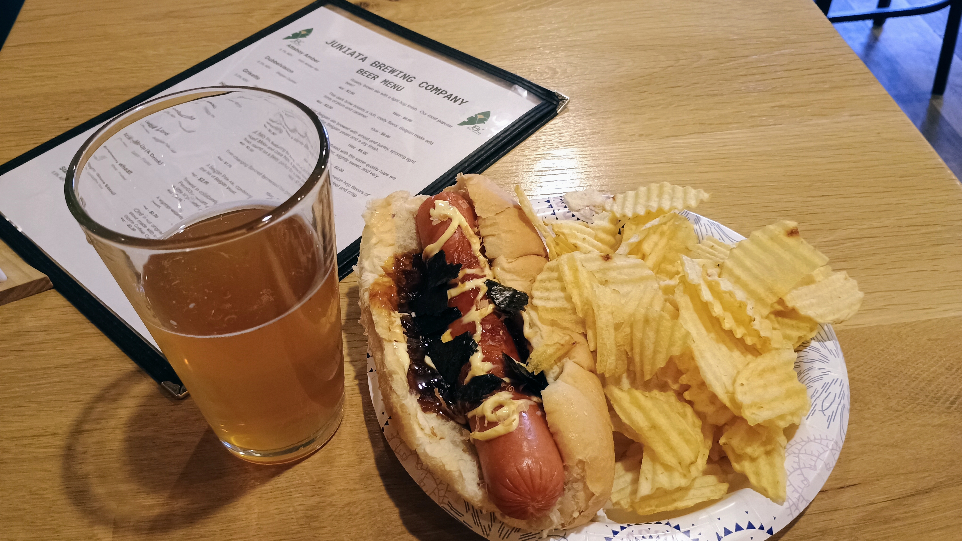
On the drive back, I took a detour to Juniata Brewing Company in Huntington for a celebratory brew and dinner. I had earned it after the day’s hiking: 2300 feet of elevation and 12 miles! That’s a lot for these legs…

Putting a cap on the day at Juniata Brewing Company.