W3/SV-009 Brush Mtn 2575

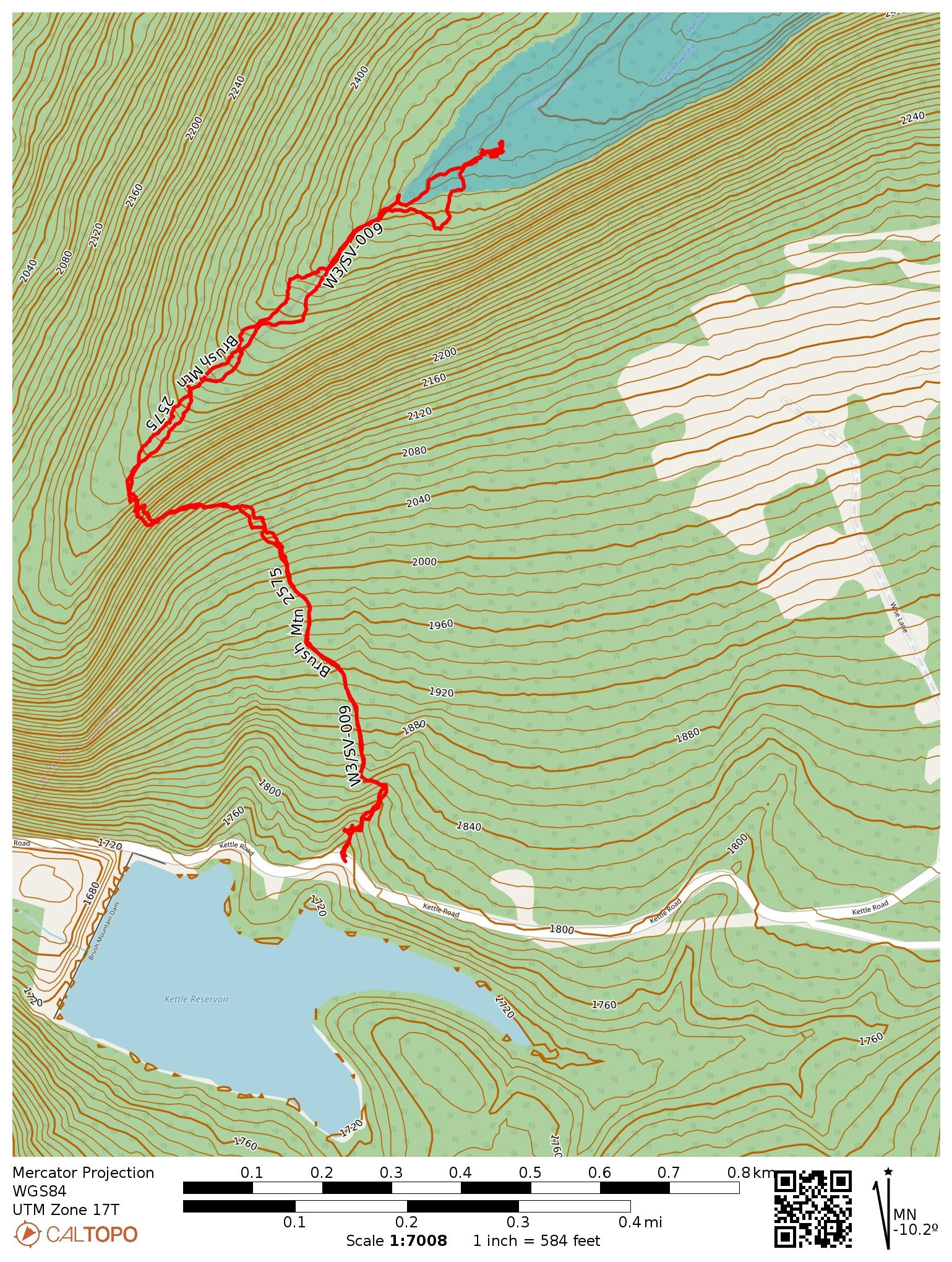
This hike was the second of my two SOTA activations on Brush Mountain east of Altoona. This reference is for the actual high peak of Brush Mountain, which sits on private property. Some trip reports on peakbagger have mentioned different routes up from private property after securing the landowner’s permission. I followed the path charted by N2GBR, which starts off the side of the road by Kettle Reservoir, and continues up city-owned land until entering the activation zone.
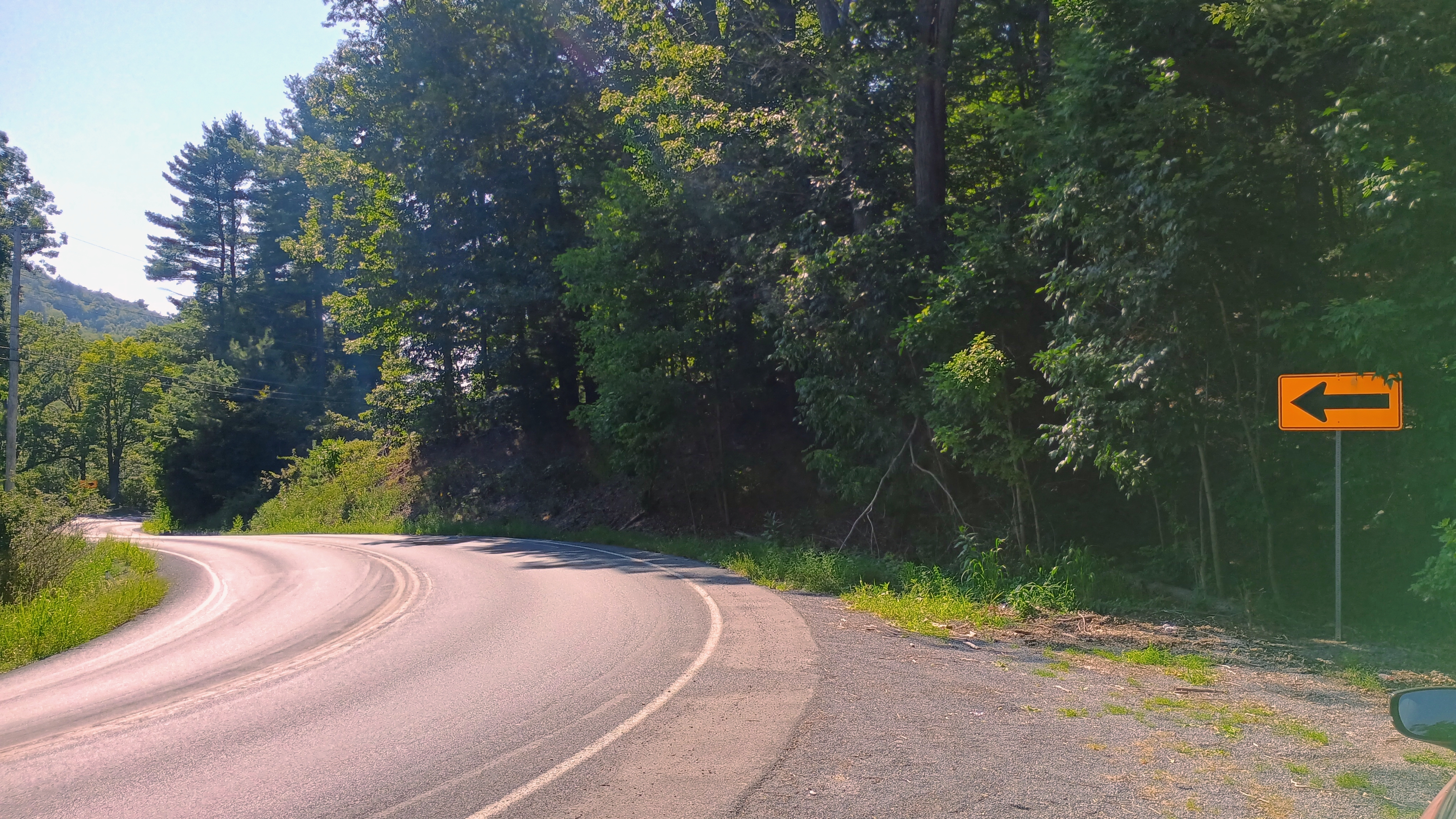
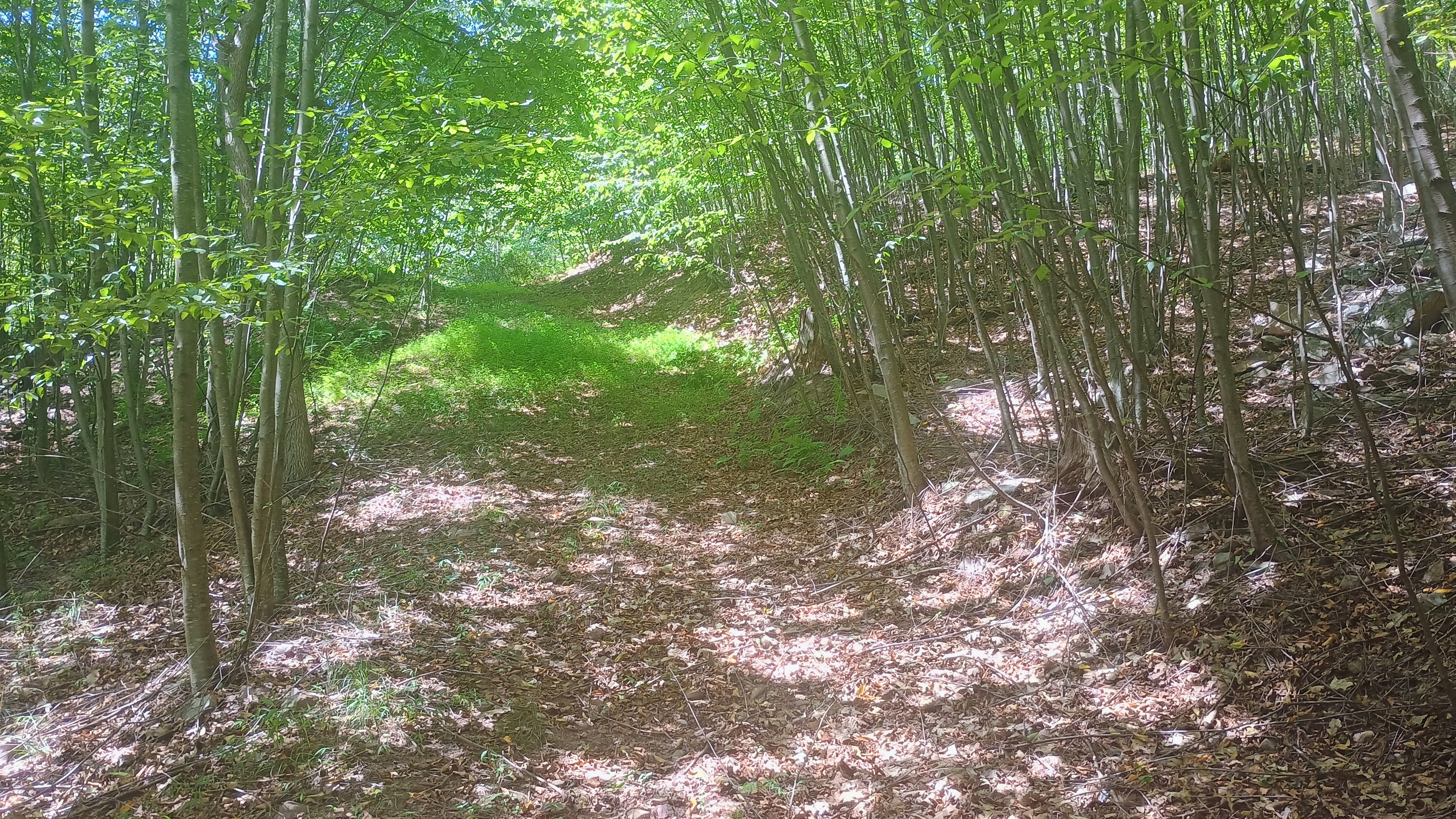
The parking spot is a gravel patch by a turn in Kettle Road. It felt strange to park here and then dive into the woods by the side of the road, but I’m starting to get used to it, as that’s not unusual for western PA SOTA. It didn’t take long to find an Jeep trail that took me northwest towards the ridge. The Blair County GIS page confirmed that this summit can be activated fully on land owned by the city of Altoona, so I made sure to stay off of private property, even though I didn’t see any posted signs.
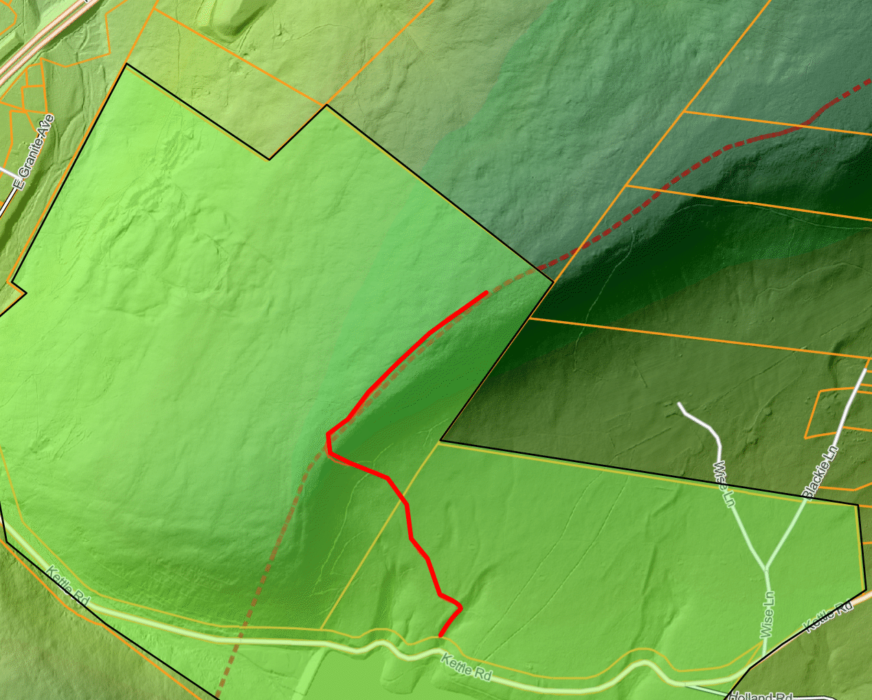
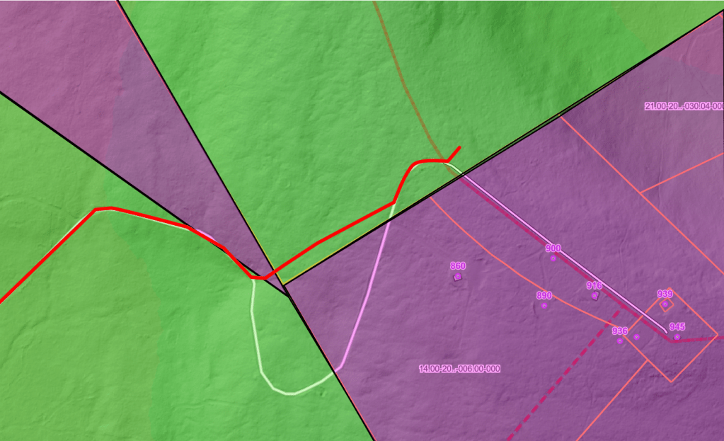
My approximate path was along the red line. The green highlighted polygon marks city-owned tax parcels. The activation zone extends into this public land.

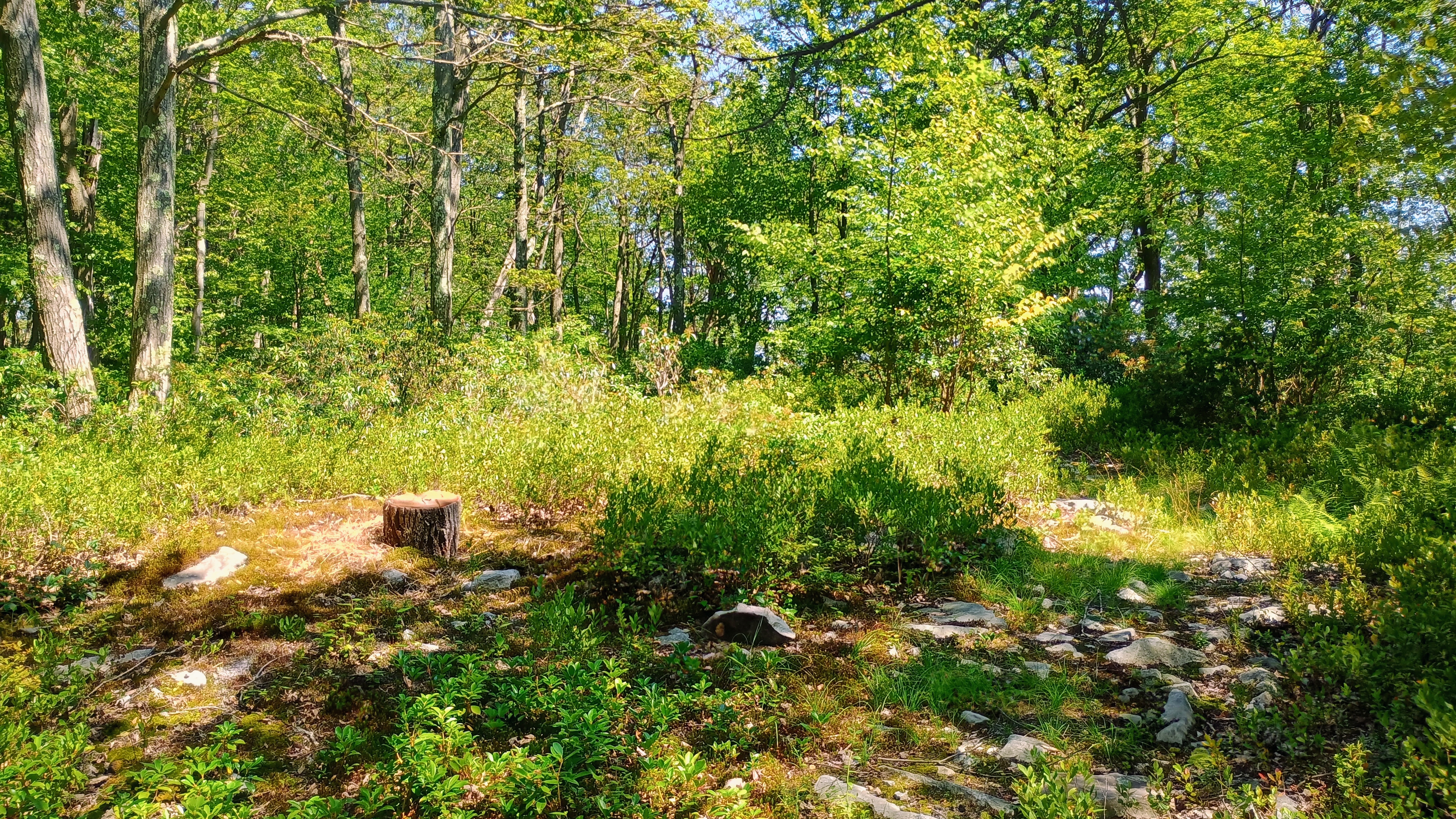
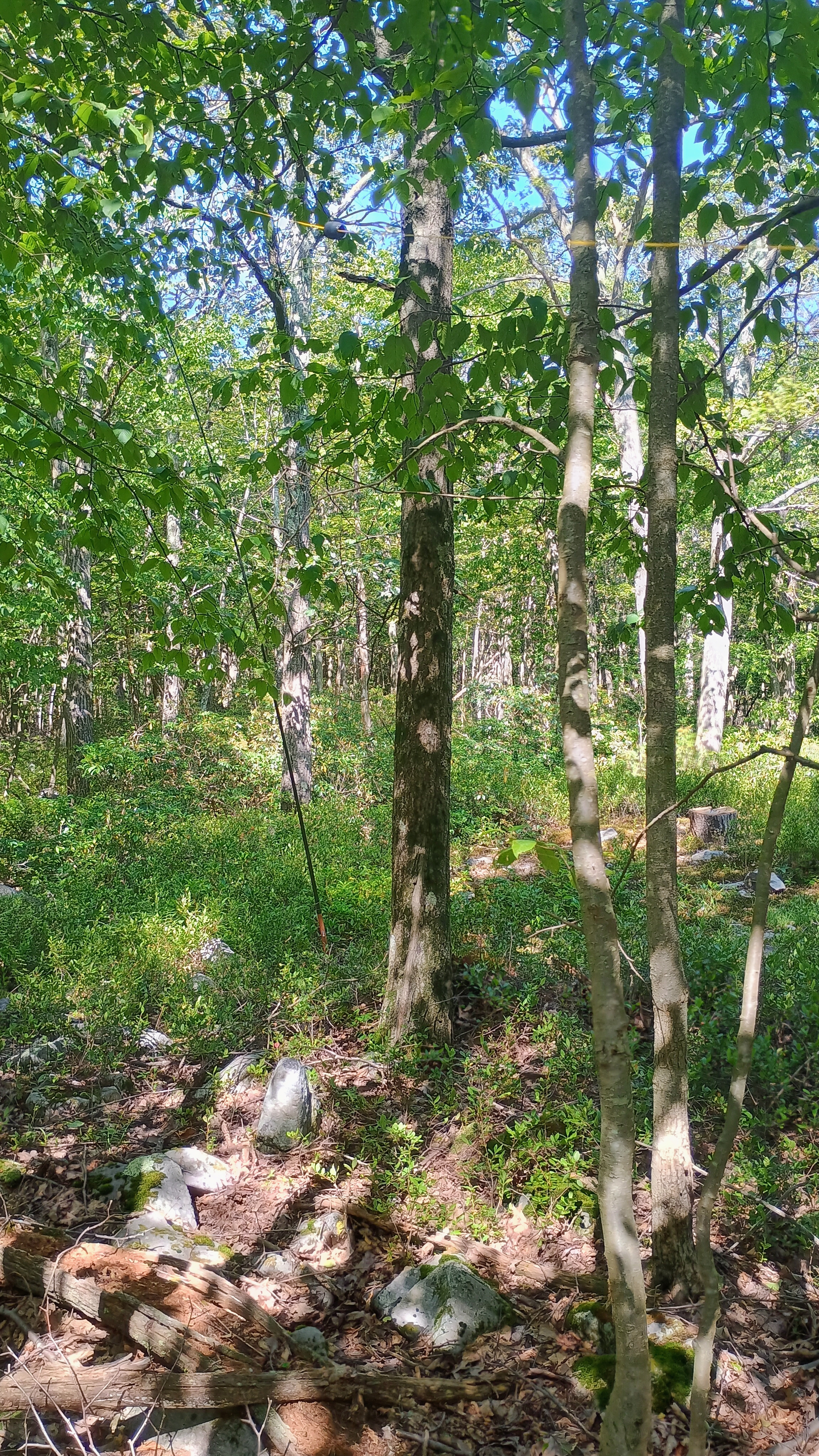
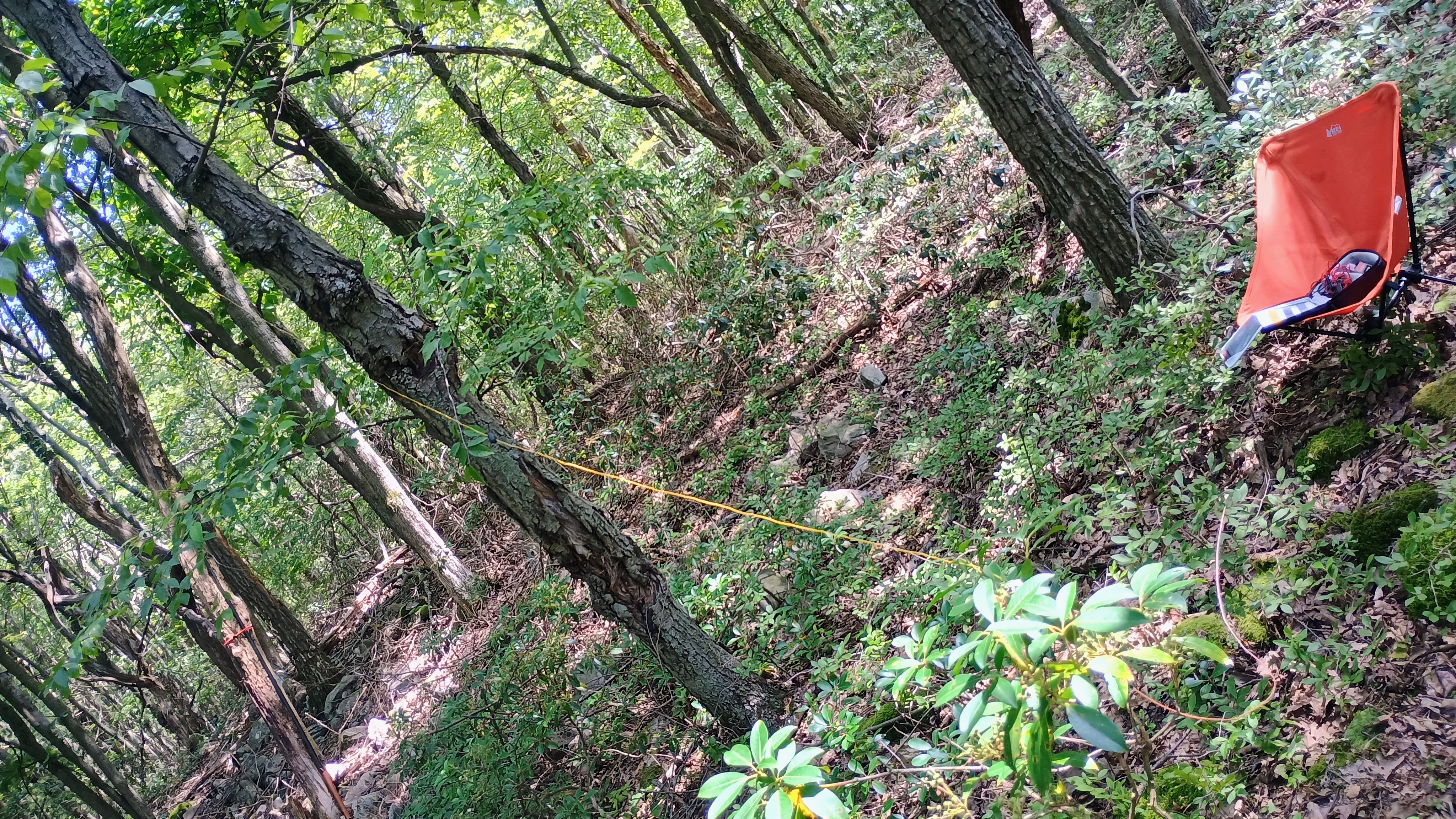
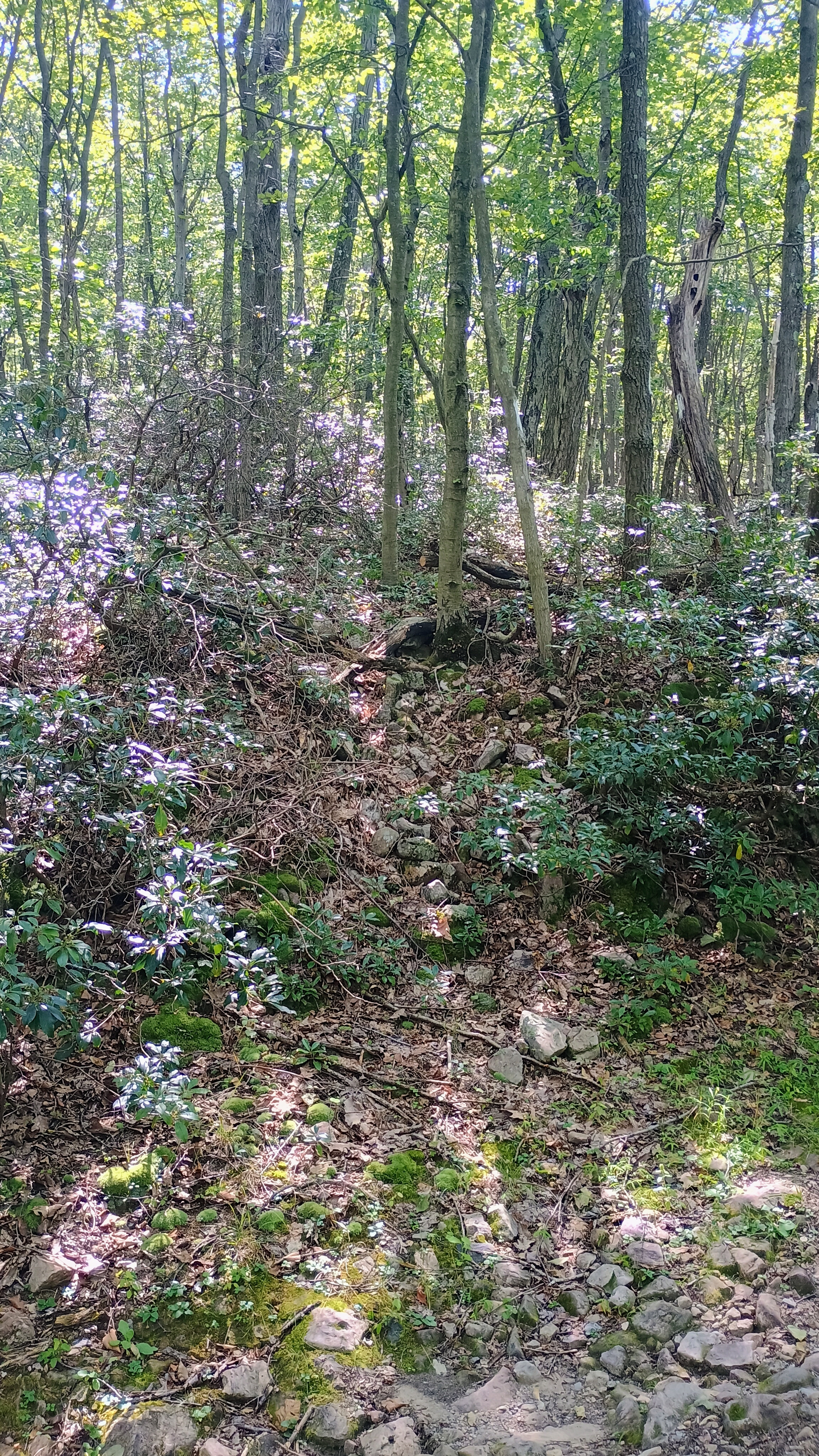
I had a good trail to follow that eventually ended close to the ridge. Here, a series of trees marked with orange tape led me along a steep 100 foot push to the ridgeline. Then, the hike became a bushwhack along the rocky ridgeline until I got to the activation zone. There was a semi-open space within the southwest edge of the activation zone where I chose to set up, at roughly 2515 ft elevation.
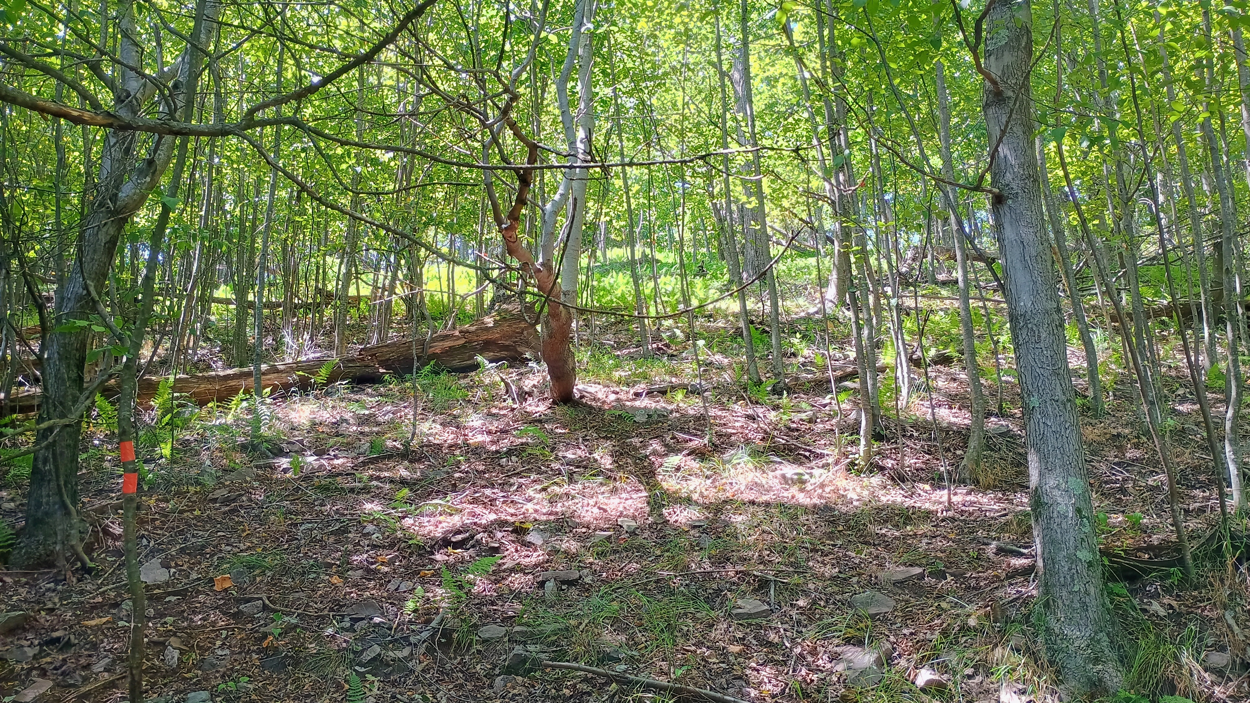
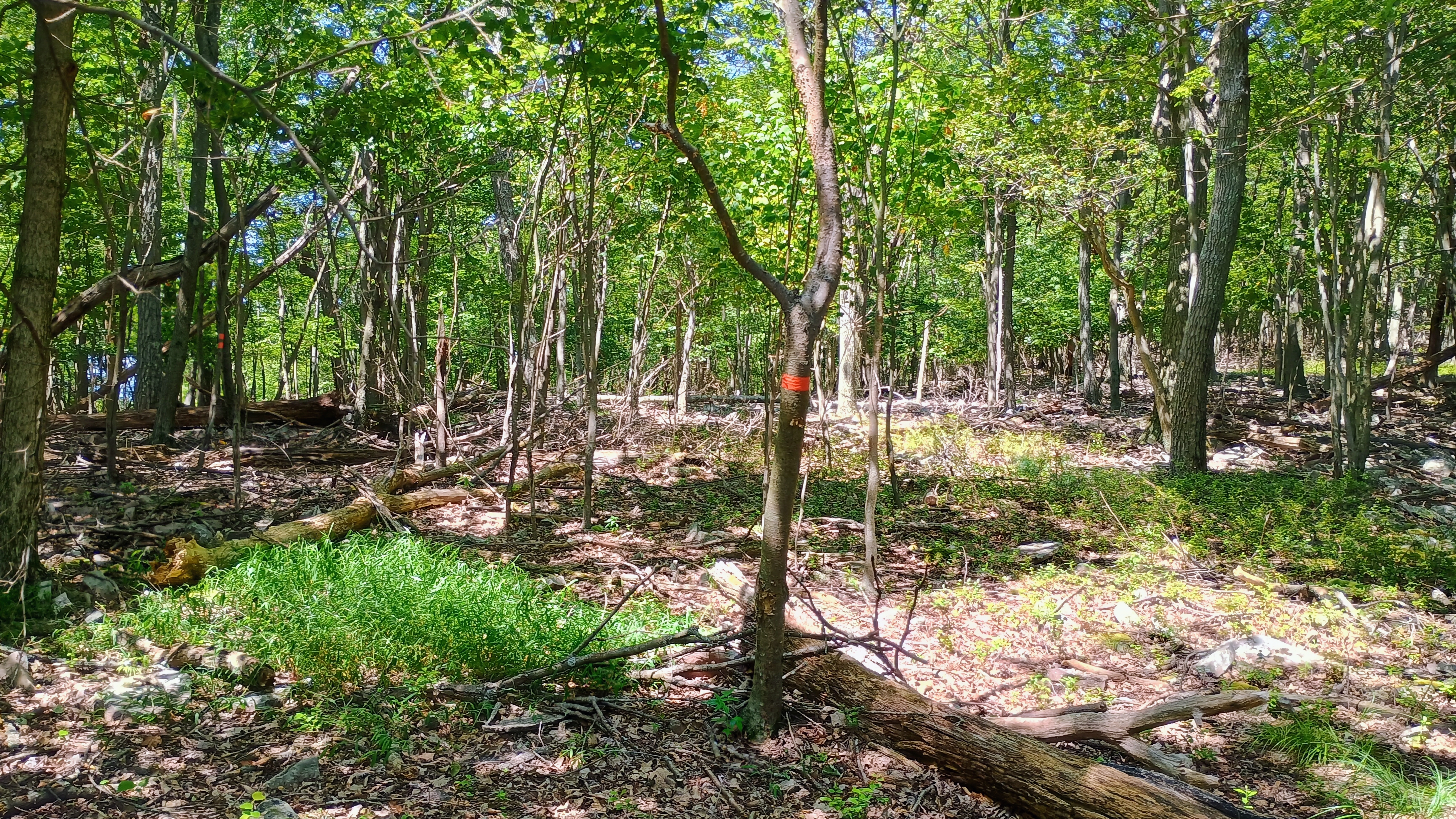
At this time, a G1 geomagnetic storm was raging, which put a damper on HF. I lingered until I notched 11 QSOs, mostly on 40m, including Eric VA2EO. All in all, this was a fun SOTA hike that required some relatively light bushwhacking. The activation zone for this peak is over 2 miles long, and it nearly reaches into the south edge of State Game Lands 166. However, that approach does require crossing onto private property, so I stuck with the tried and true Kettle Reservoir starting point.
W3/SV-011 Brush Mtn 2557

I wanted to try out the pair of SOTA peaks east of Altoona on Brush Mountain, and had a free Saturday to try it out. N2GBR reports climbing south from Kettle Road, which looks like a steep-grade bushwhack. The easier route that NK8Q involves driving to a parking area in Brush Mountain Woodlands Preserve, which is now owned by the State Game Commission.

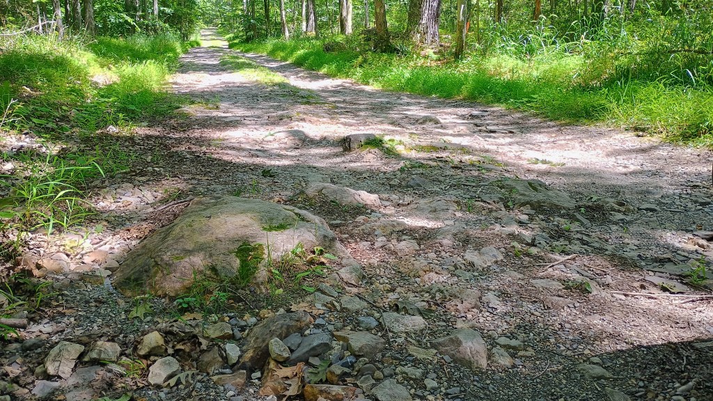
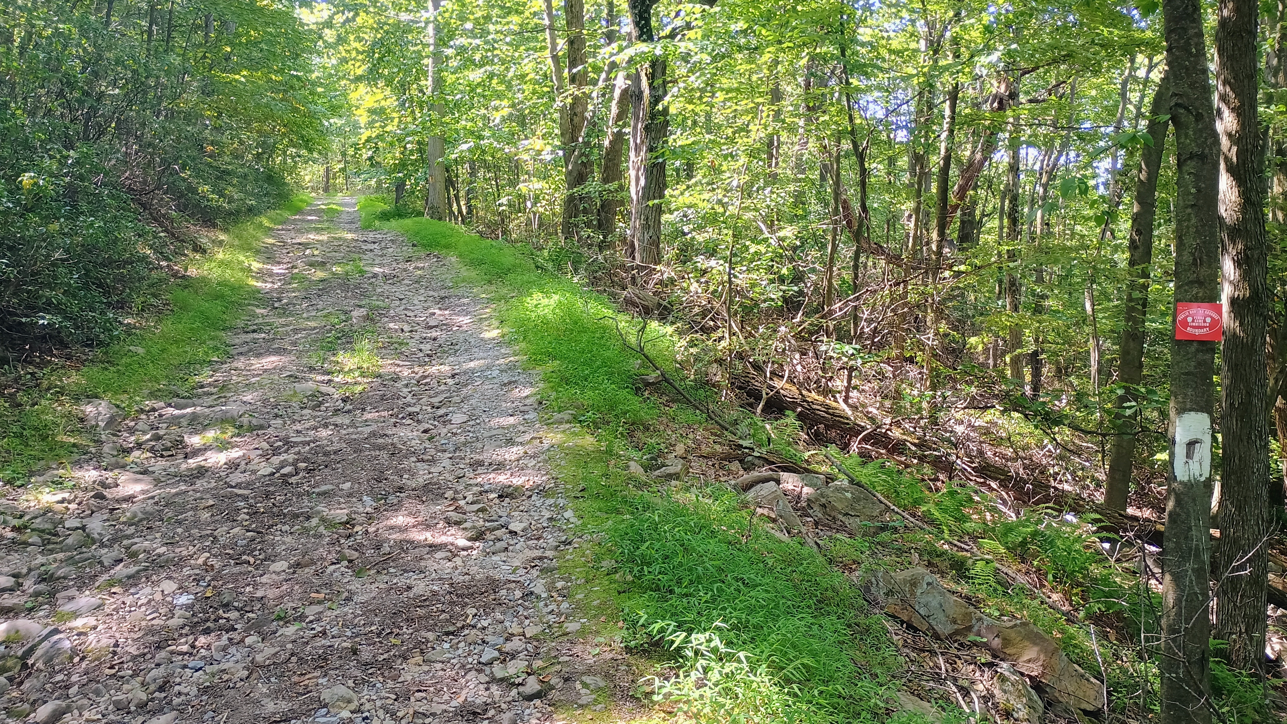
The road here is in extremely rough shape, with large rocks jutting out at points. I went very slowly in a vehicle with decent clearance (Subaru Crosstrek, 8.7 inch clearance), and still had to take a careful line to avoid bottoming on some large rocks. You do not want to take a sedan on this road! I could have driven all the way to the northernmost parking area, but opted to cut it short to give myself some extra hiking and avoid driving on Fire Tower road any longer. The bumpiest part ends just about where I bailed to park (40.48438, -78.36553), so if you make it this far, you may as well drive to the end (40.48664, -78.36318).

Super bumpy and rocky on the way up!

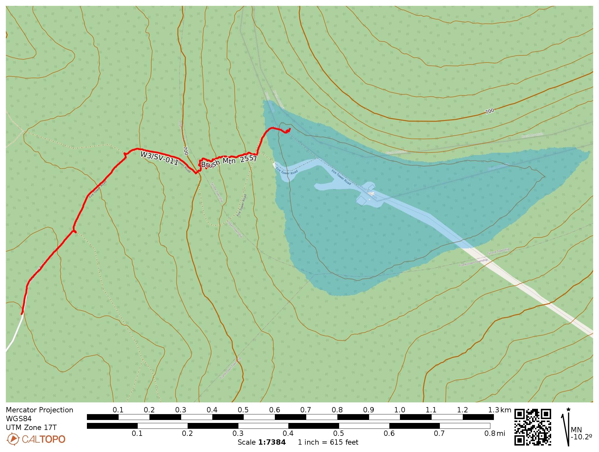
The hike follows Fire Tower Road towards a transmitter site (gated and posted) until arriving at the AZ. You have to leave the road at some point to get to the AZ while avoiding the gated/posted area. You actually cannot get into the AZ without crossing through about 100 feet of private property (unposted parcel) to get back to land controlled by the State Game Commission, which I confirmed by looking at the Blair County GIS page. I carefully crossed the narrow parcel of private land just above Fire Tower Road to get back to the road.

The purple areas are private property. The lower right area is posted and gated, as it provides access to the radio tower. I bushwhacked through the narrow parcel in the upper left to get back to state-owned land, and operated just north of Fire Tower Road.

After rejoining Fire Tower Road, I hiked along until I saw no trespassing signs marking the start of the road to the radio tower. I went off-trail here and set up since it’s just inside the activation zone. The brush was strong immediately by the side of the road, but otherwise this was a reasonable bushwhack.

Conditions weren’t great, but F4WBN and VA2EO obliged with some DX, and I got two S2S contacts: N1ZF on W1/GM-007 (my fifth 007 chase, earning me the “Craig” chasing badge) and N2PX on W2/GC-077. 13 QSOs when all was said and done.

  • Trailhead: I parked in a grass patch at 40.48438, -78.36553, but you can go all the way to 40.48664, -78.36318 in Brush Mountain Woodlands Preserve
  • Map:  [AA3TZ SOTA] [Brush Mountain Woodlands Preserve Map] [Blair County GIS Department (Parcel Viewer)]
  • Route: 2.0 mile RT hike along Fire Tower Road, with a short bushwhack to stay out of private property; 450 feet of ascent. Starting at the final parking area in Brush Mountain Woodlands Preserve, it would have been closer to 1.2 mi RT.
  • POTA: None