
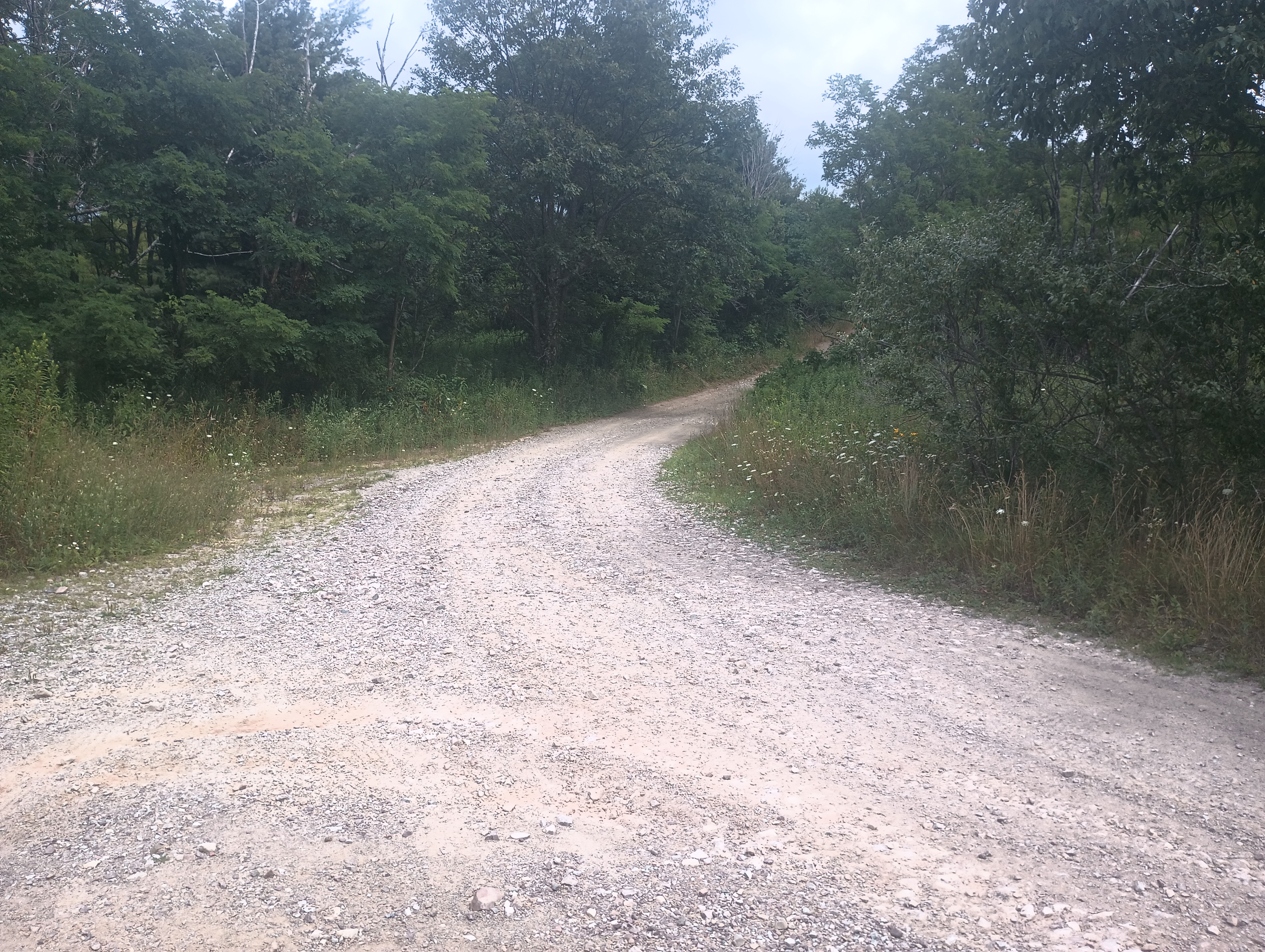
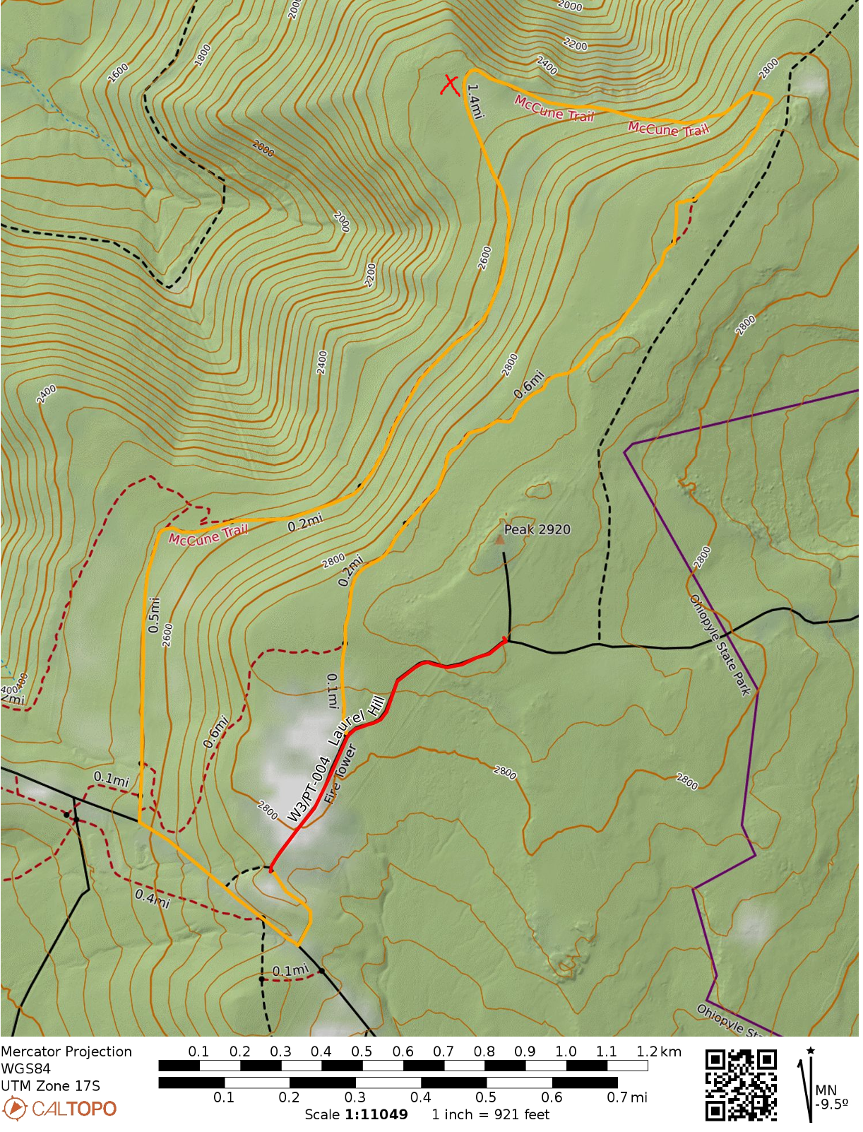
Took a daytrip to Ohiopyle State Park to check out this SOTA peak, which is in the more secluded eastern half of the park. Sugarloaf Knob (2667 feet), is the highest named peak in Ohiopyle, but the ridge extends to the east towards a less distinct high point (2930 feet) where the activation zone lies. I parked at the end of Fire Tower Road, which has a small parking area good for about 5 cars, and then walked along the gravel road about a 0.5 miles until I reached the final summit approach.
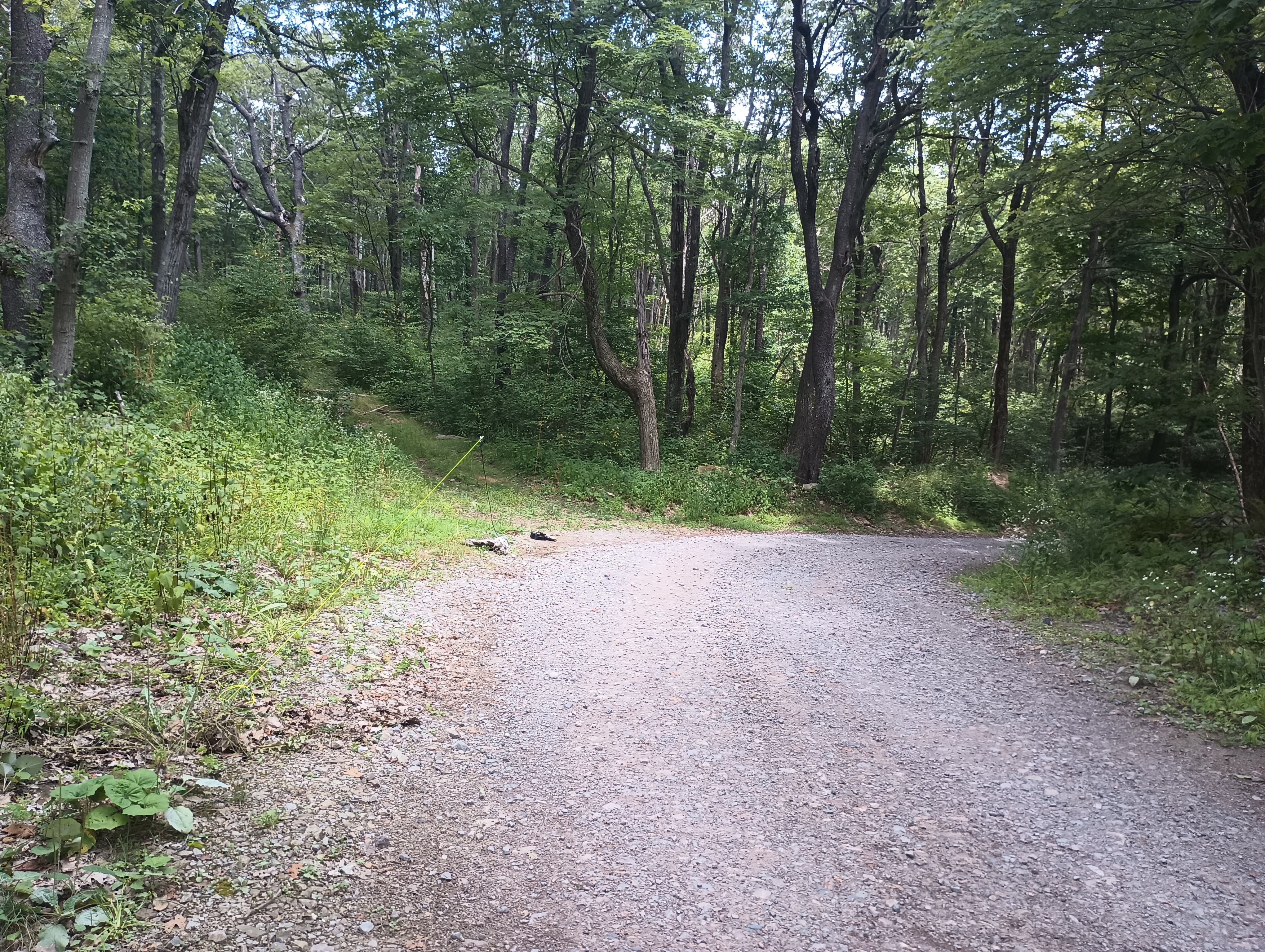
Fire Tower Road continues northeast here, while there is an overgrown road with many fallen trees in the path leading to the actual peak. The grass has gotten rather tall, and since this junction is in the activation zone (at approximately 2880 feet), I decided to avoid the potential tick encounters and operated from this junction. There were plenty of trees to get an antenna up, and I spent a good time getting chasing some S2S contacts once I had filled my log on 40m and 20m.
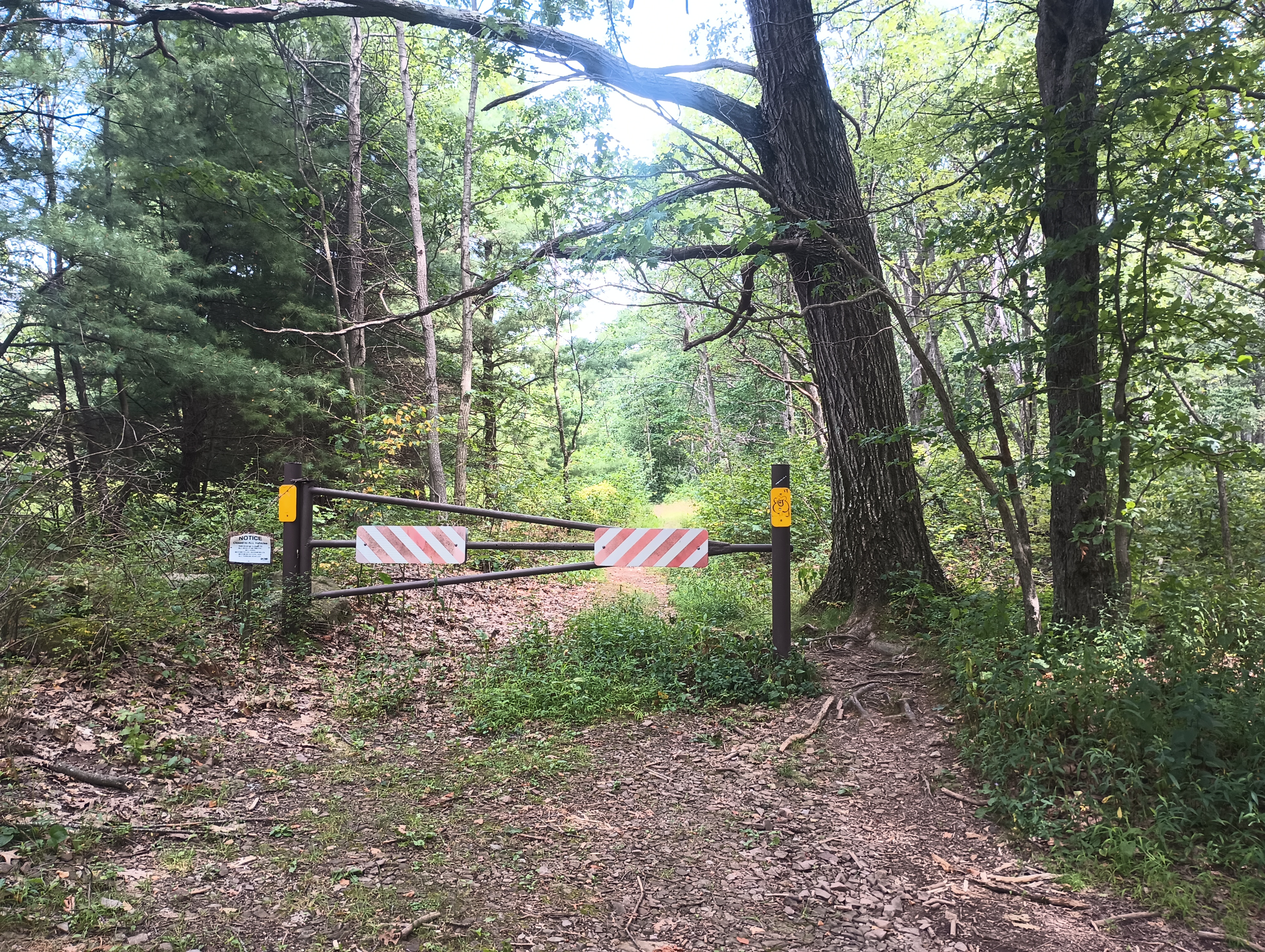
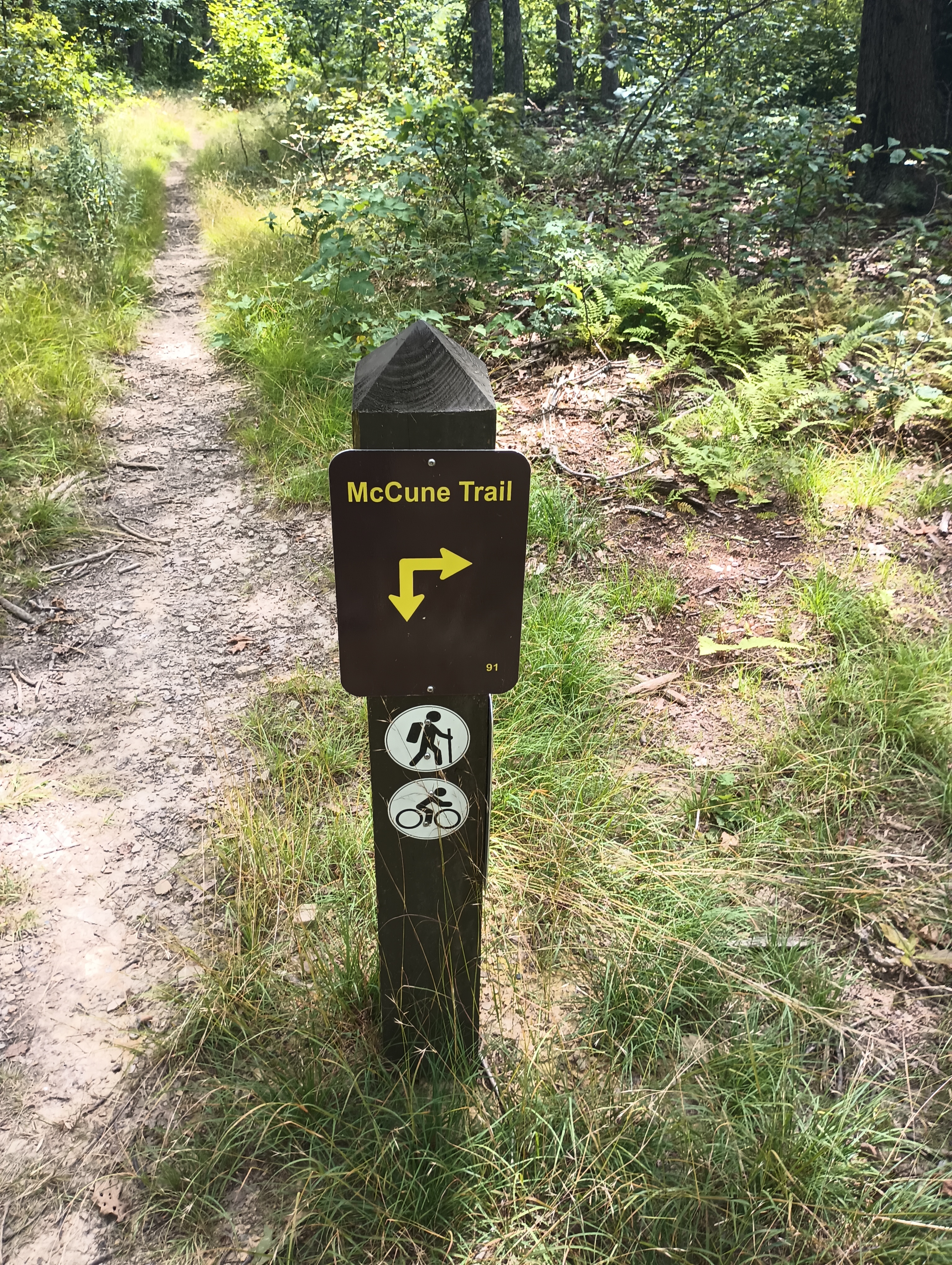
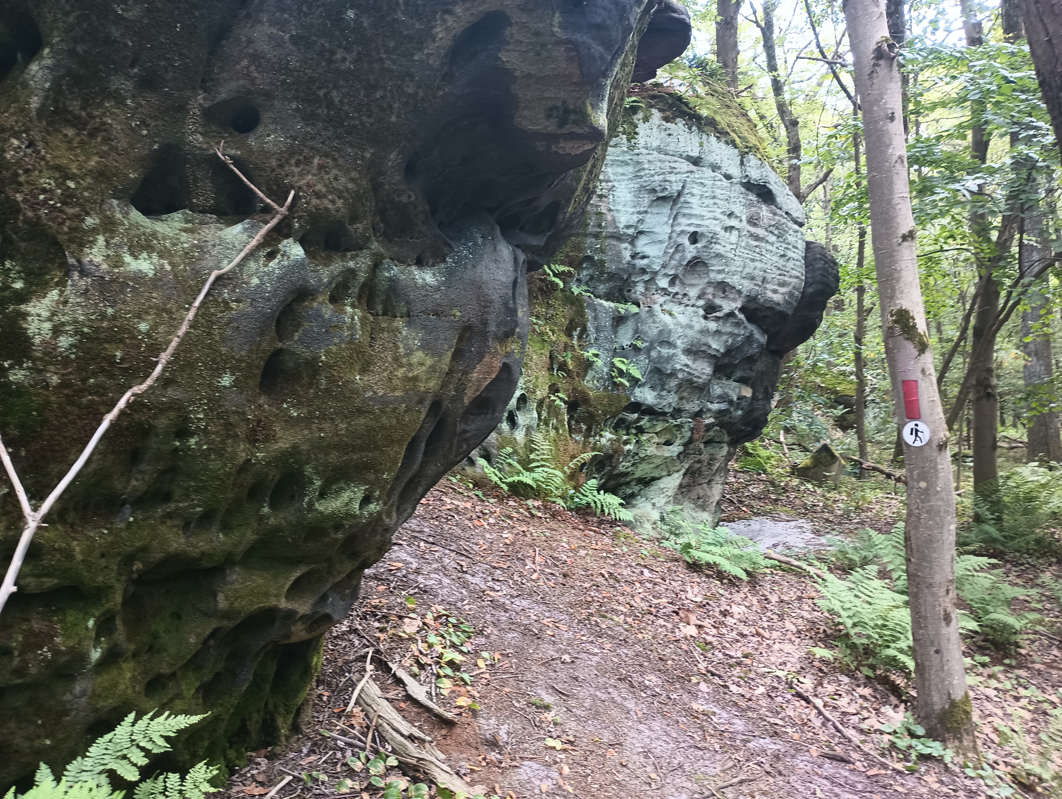
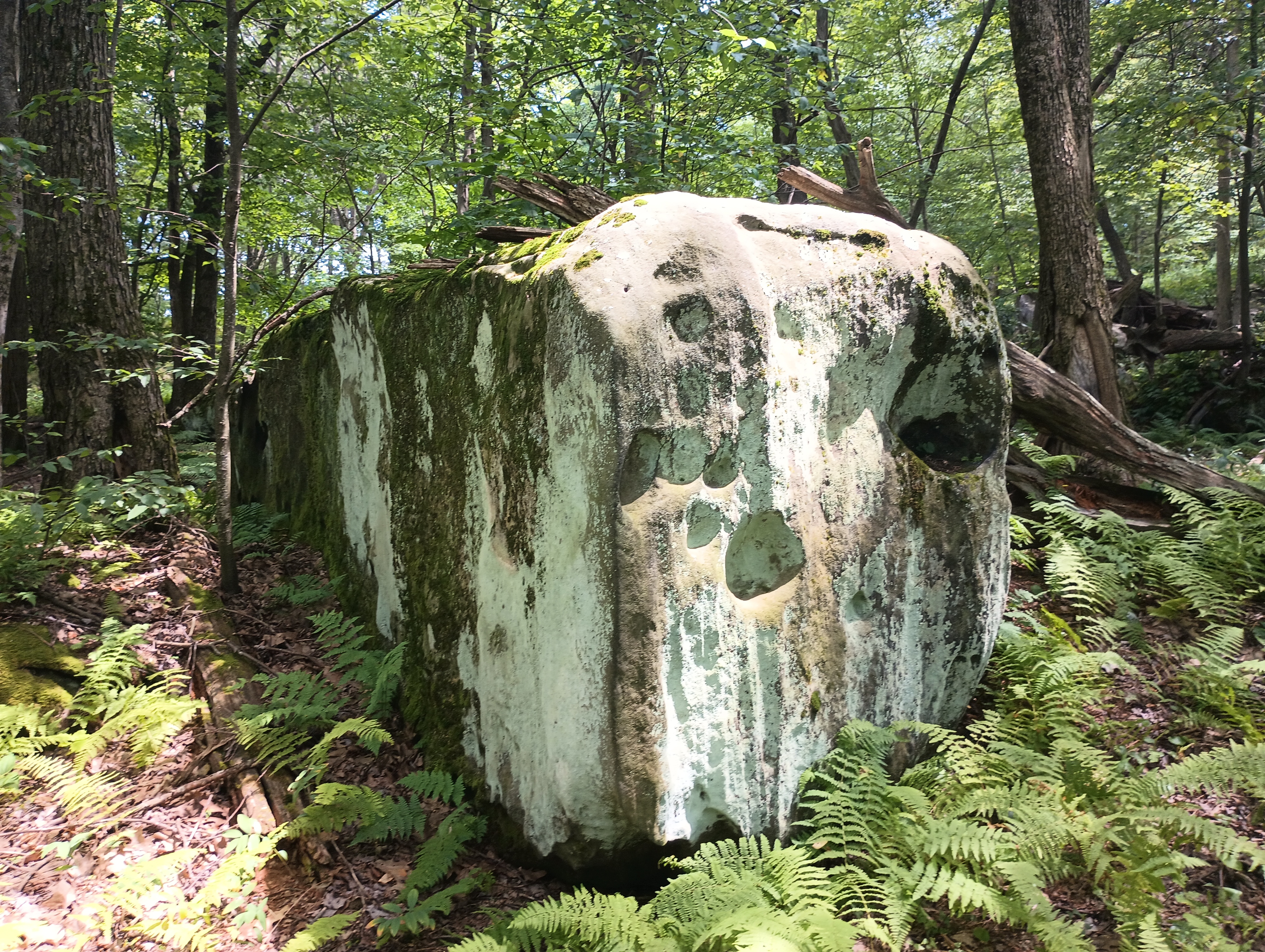
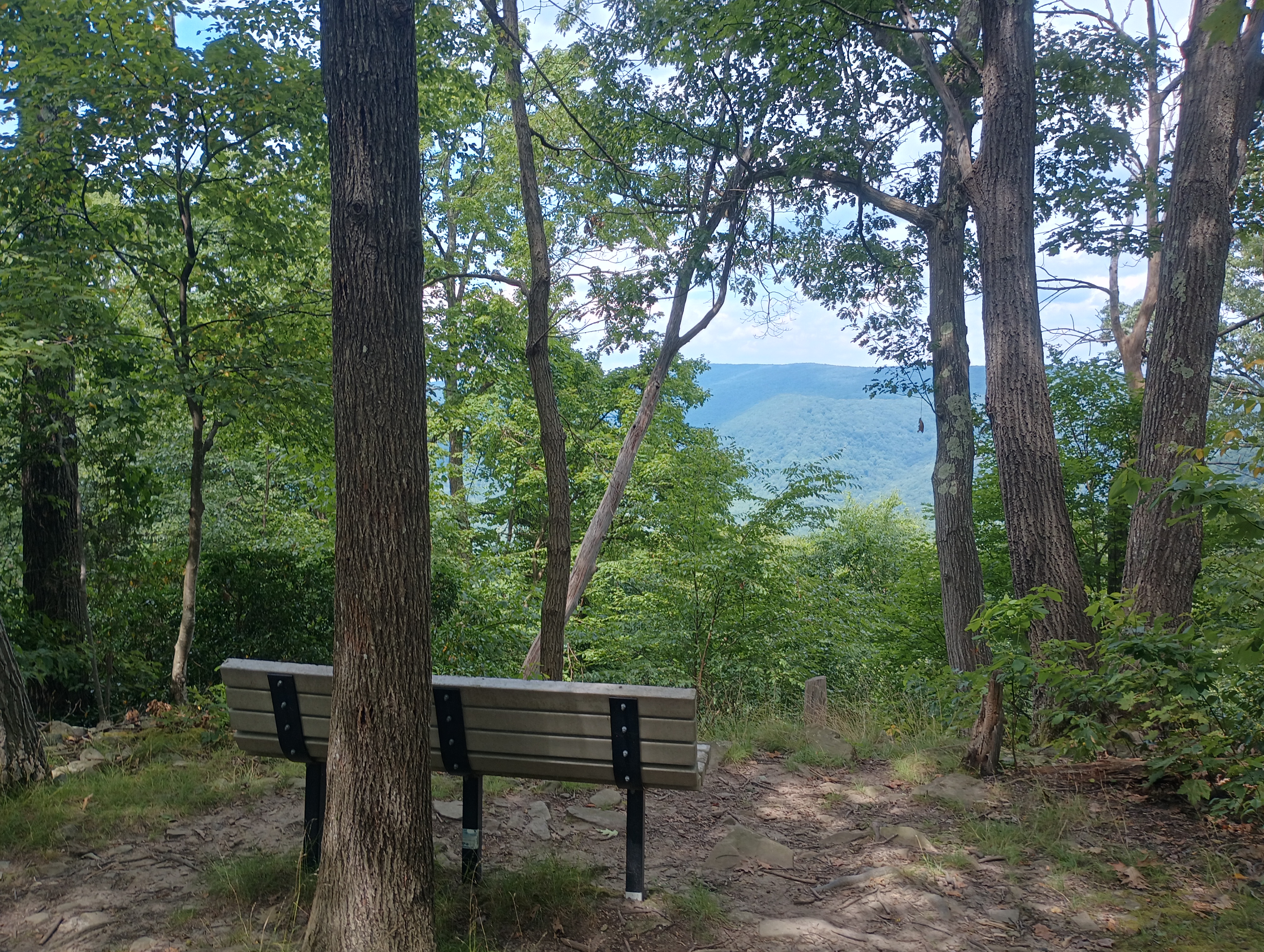
After packing up, I decided to finish the hike by taking the connector that leads to the McCune Trail, a quarter mile from the trailhead. The McCune Trail is well-marked with red blazes, and loops around the eastern Sugarloaf ridge and has some interesting looking boulders scattered along the way. There is a scenic bench with views of the Great Allegheny Passage trail and Youghiogheny River that would be spectacular during fall and winter. This added about 3.7 miles to the total trip. I did awkwardly walk along Sugarloaf Road at the end to cut off some distance, but very few cars appear to use the road.
- Trailhead: 39.82497, -79.44109 : A small gravel road leads to this parking area off of Sugarloaf Road
- Maps: [AA3TZ SOTA] [Ohiopyle State Park Map]
- Route: 1.0 mi round trip, following the gravel Fire Tower Road (a car with clearance could probably drive onward to the AZ); McCune Trail adds approximately 4 miles, and is worth it! A large part of the trail passes through the AZ.
- POTA: Ohiopyle State Park (US-1392)
 Tom Zajdel