
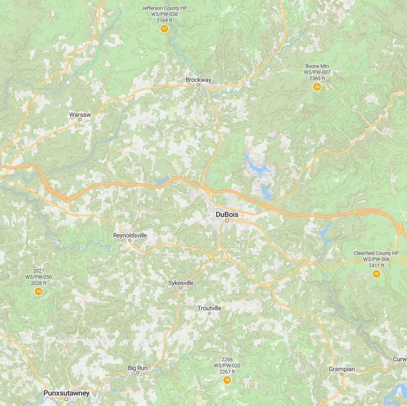
On March 13, 2026, I activated the four of the five DuBois Quintet SOTAs, and this was the third one of the day. The highpoint of Clearfield County is the highest SOTA site of the DBQ standing at 2411 feet ASL. You wouldn’t know it as it’s there are many short hikes that will get you to the broad activation zone. Since I ultimately did 4 SOTA peaks in one day to maximize the winter bonus, I decided to set up soon after making it into the AZ, another broad plateau with many choices for operating location.
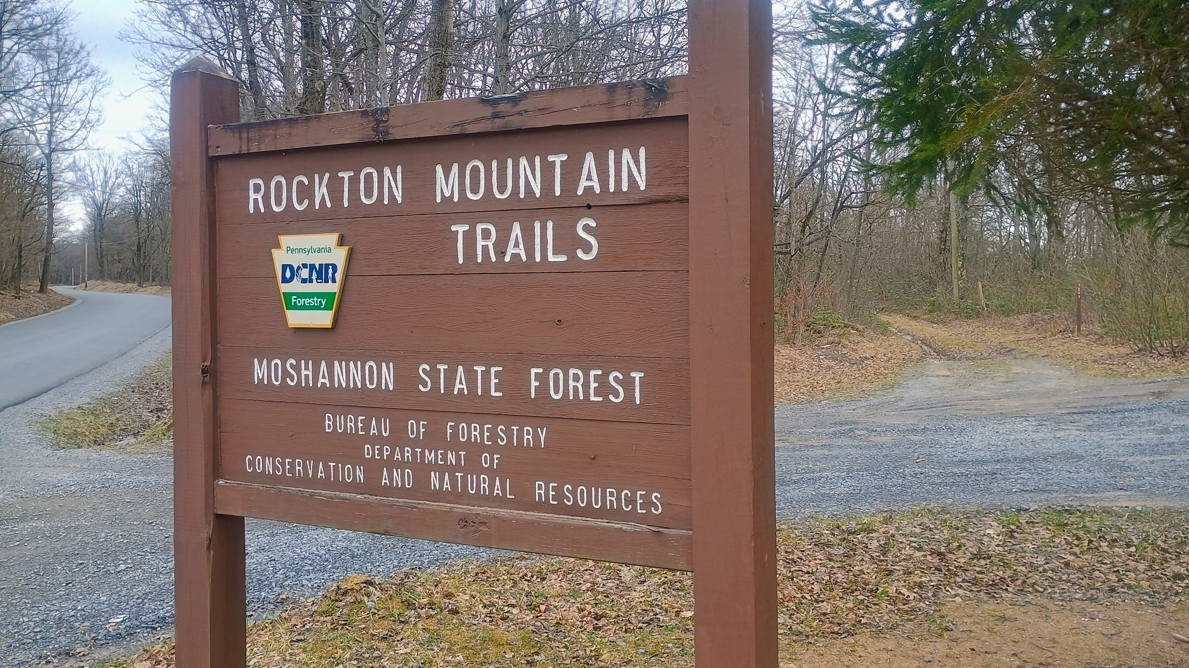
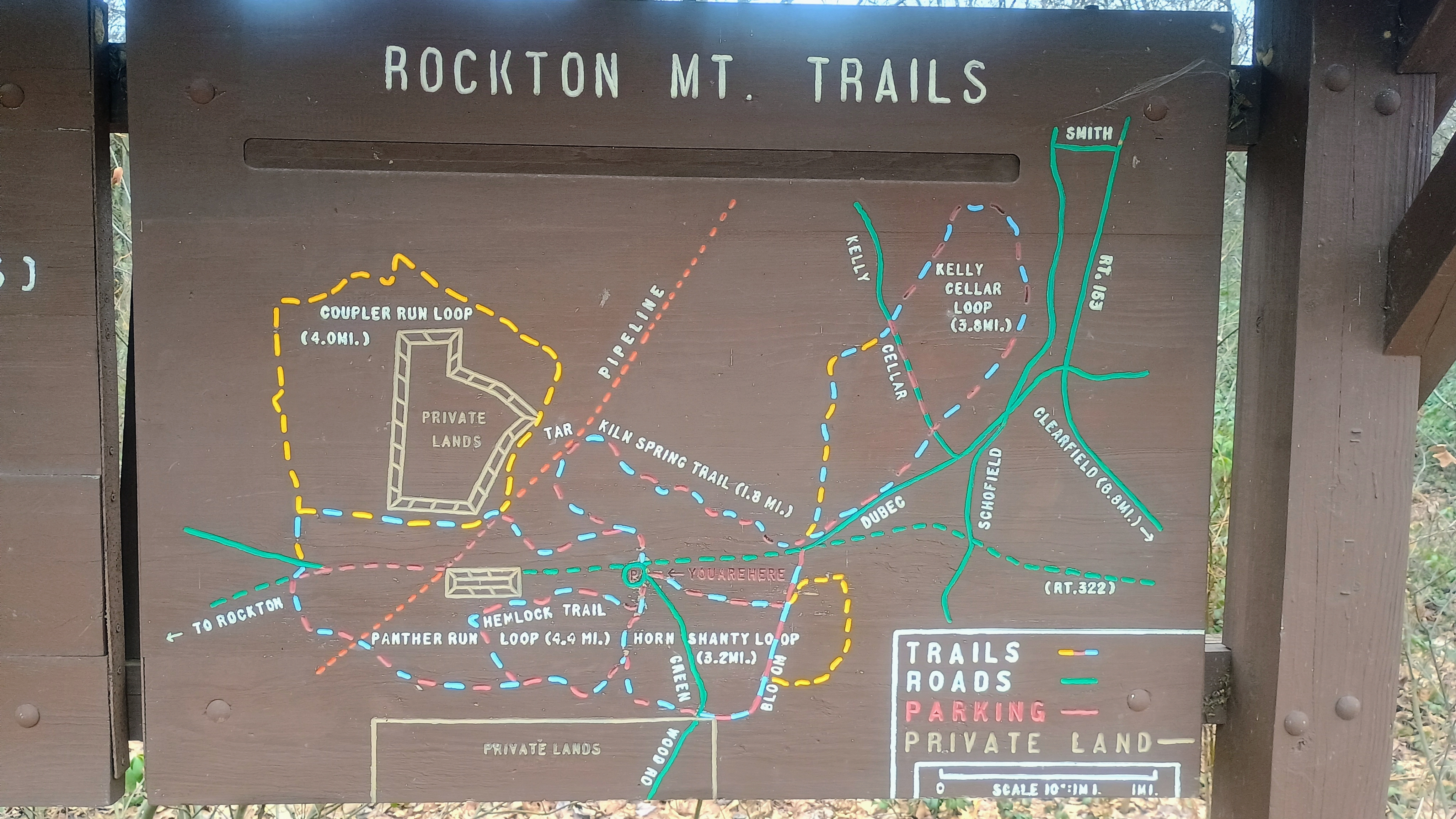
I parked at just south of US-322, at the Rockton Mountain Trails section of Moshannon State Forest. There is a lot of space for parking here and a network of paths for mountain biking, cross-country skiing, and hiking. A painted wooden signpost provides a trail map for the area.
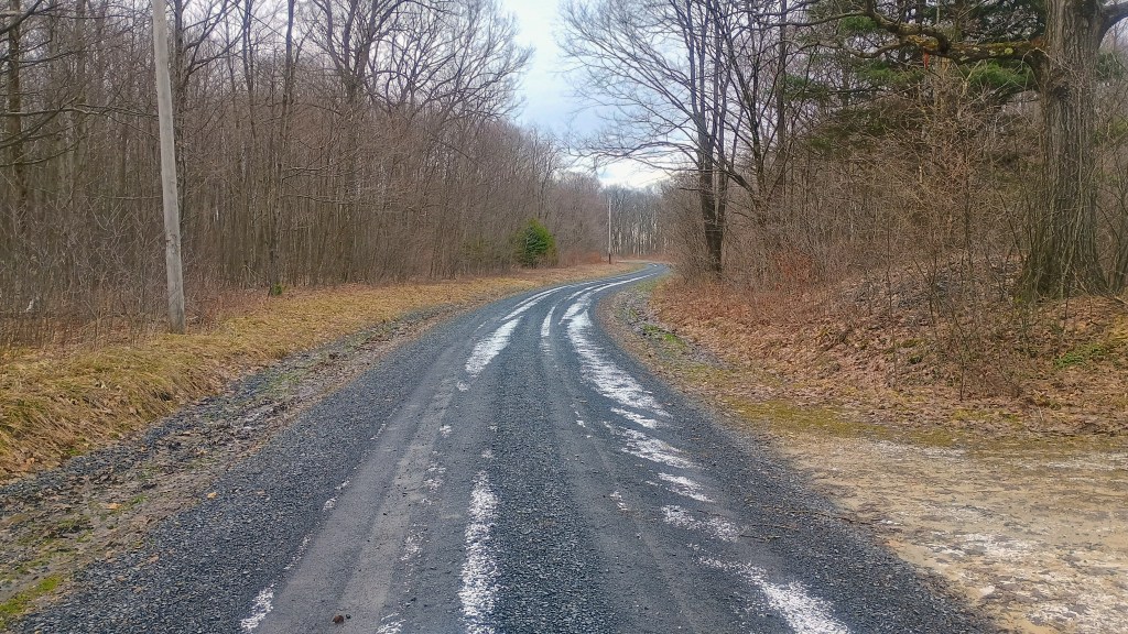
If you’d rather just drive into the AZ, another option is to continue south past the Rockton Trails area and park around 41.06656, -78.57335 to follow Bloom Road to what is labeled Clearfield County Highpoint #2 on my map. Folks on peakbagger will visit this place along with Chestnut Ridge, about 13 miles northeast of this spot, to be sure they’ve stood on the correct high point. Only one of these is in the SOTA DBQ!
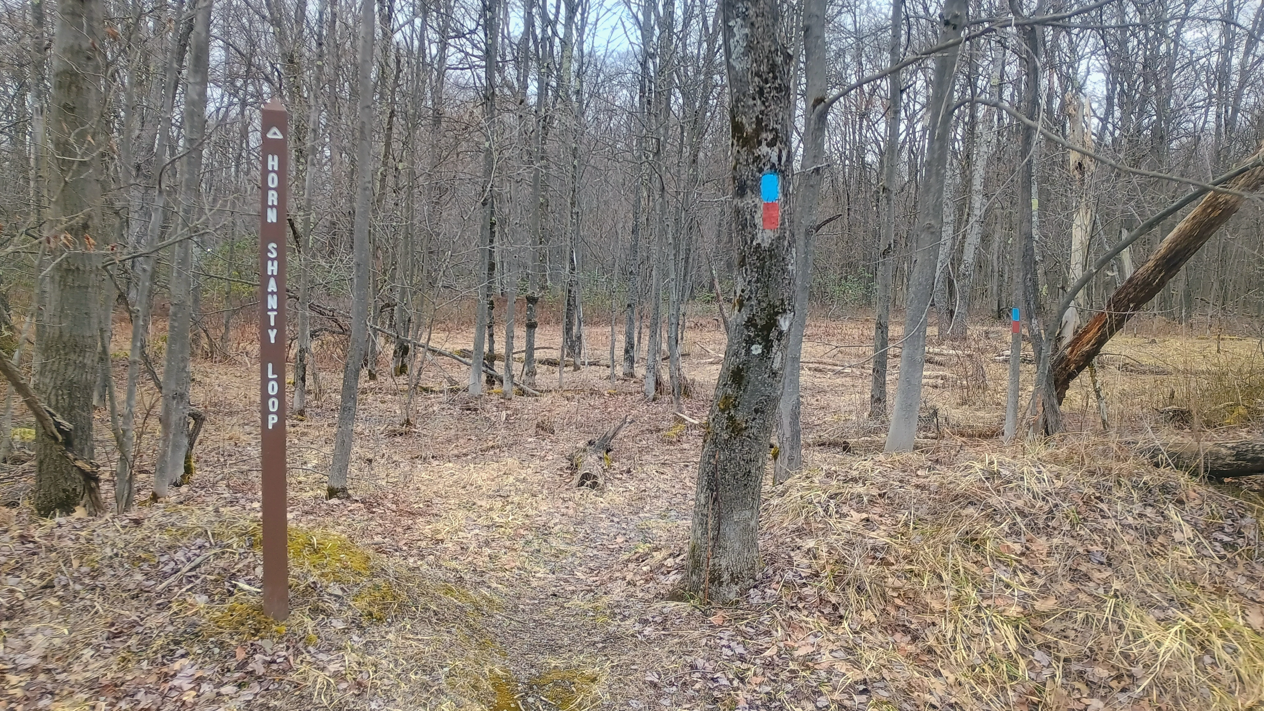
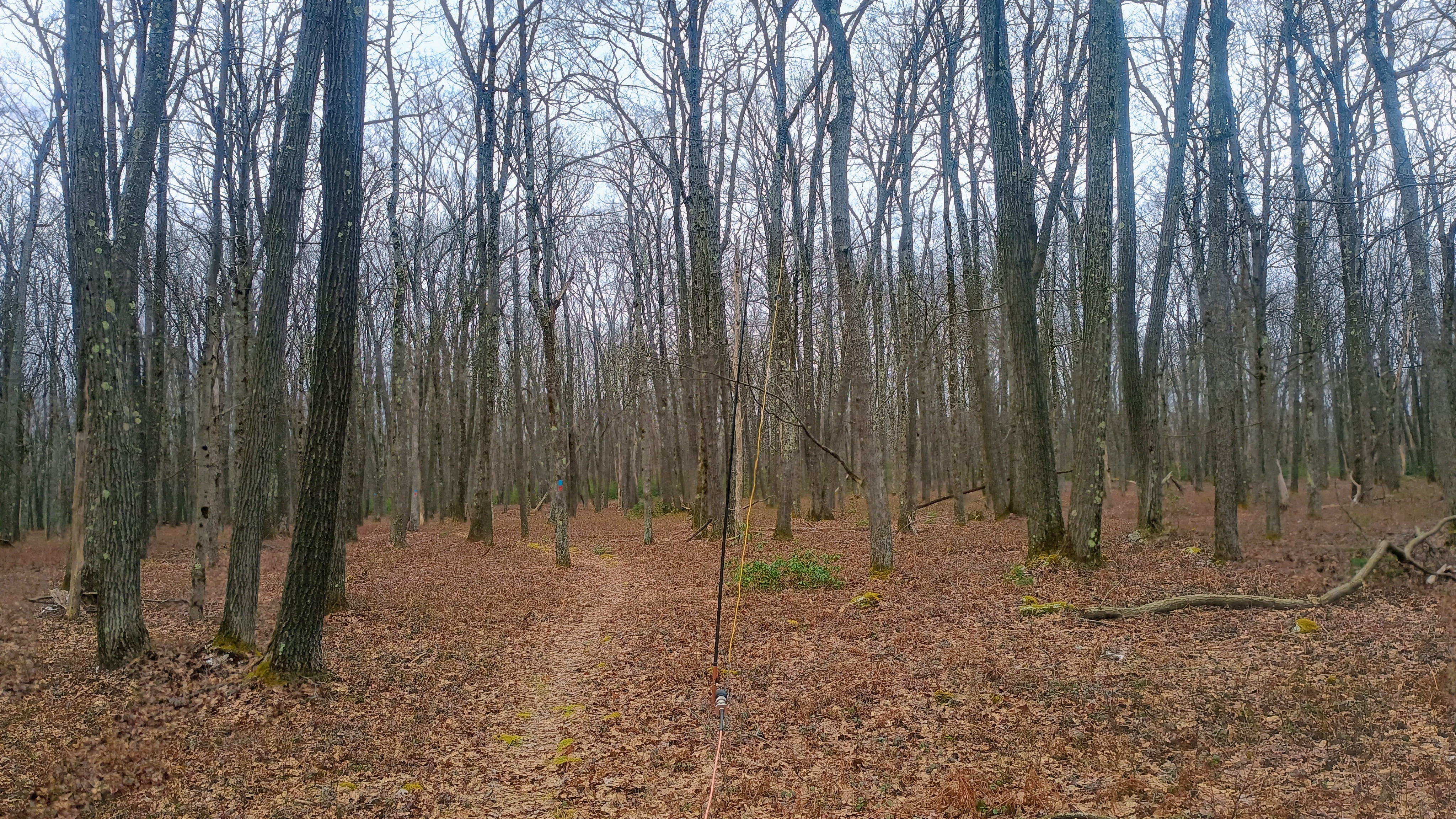
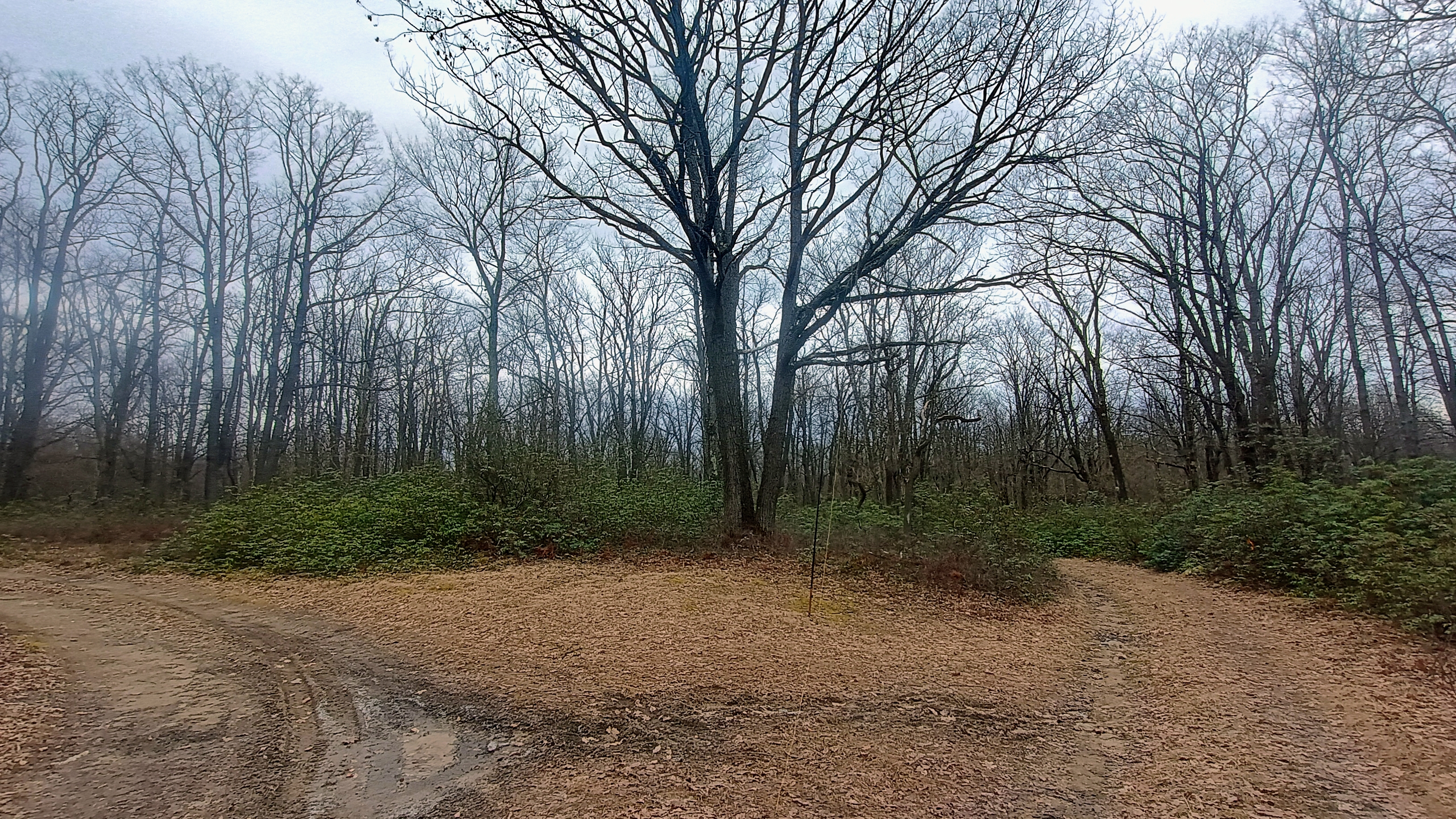
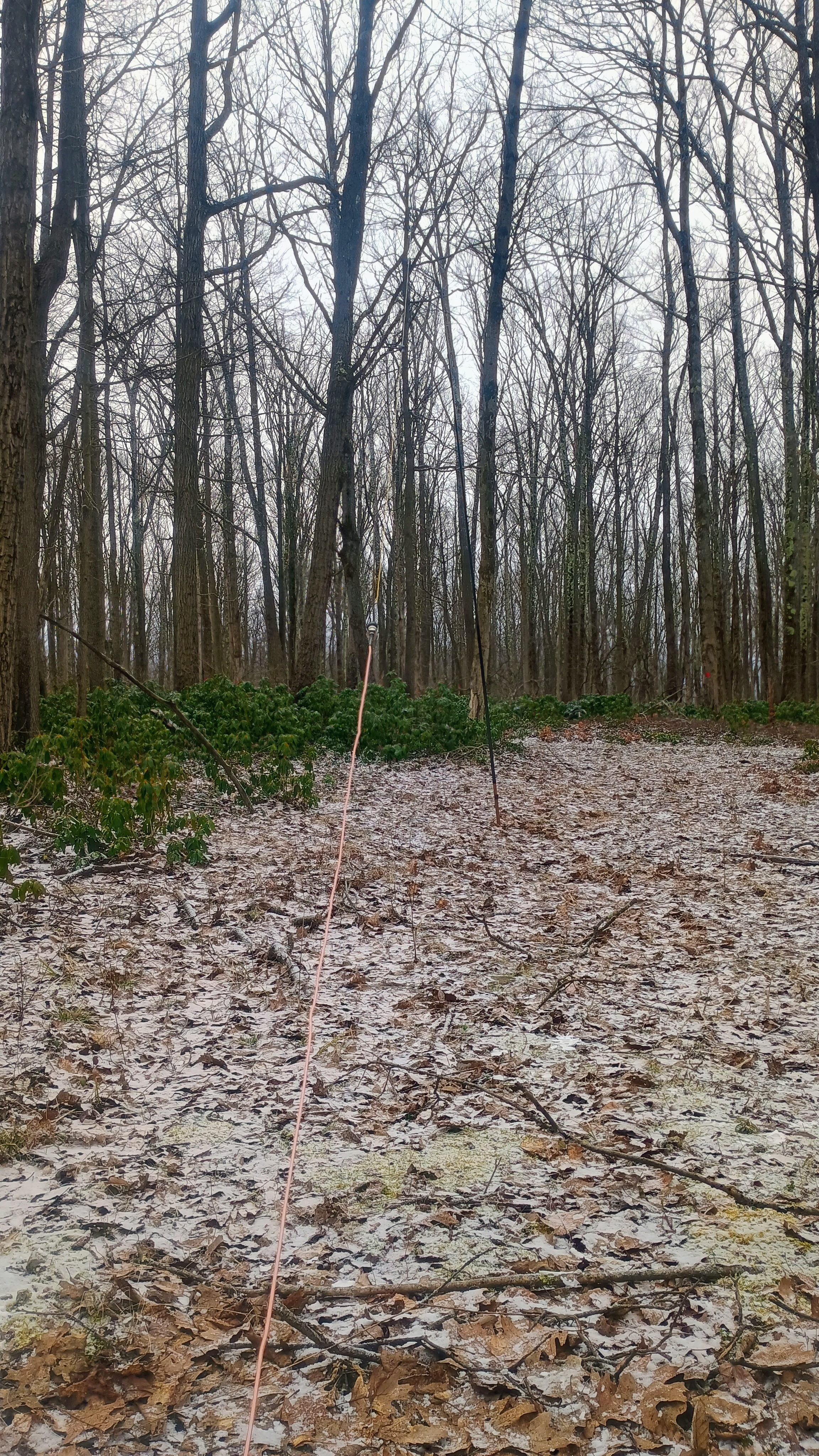
I hiked on along the Horn Shanty Loop, which was marked by red/blue blazes along my entire route. Just a few steps onto the loop, I was in the activation zone, but I kept going along the trail to find a good spot to set up my EFHW wire, about a half mile in. All the snow from earlier was gone now, so it was becoming more pleasant to sit and operate a bit longer. For S2S, I got AE1MS and AE1JS on W4G/NG-025 on 20m, and K6EL on W6/NC-423 (classic El at Mt Davidson) on 15m.
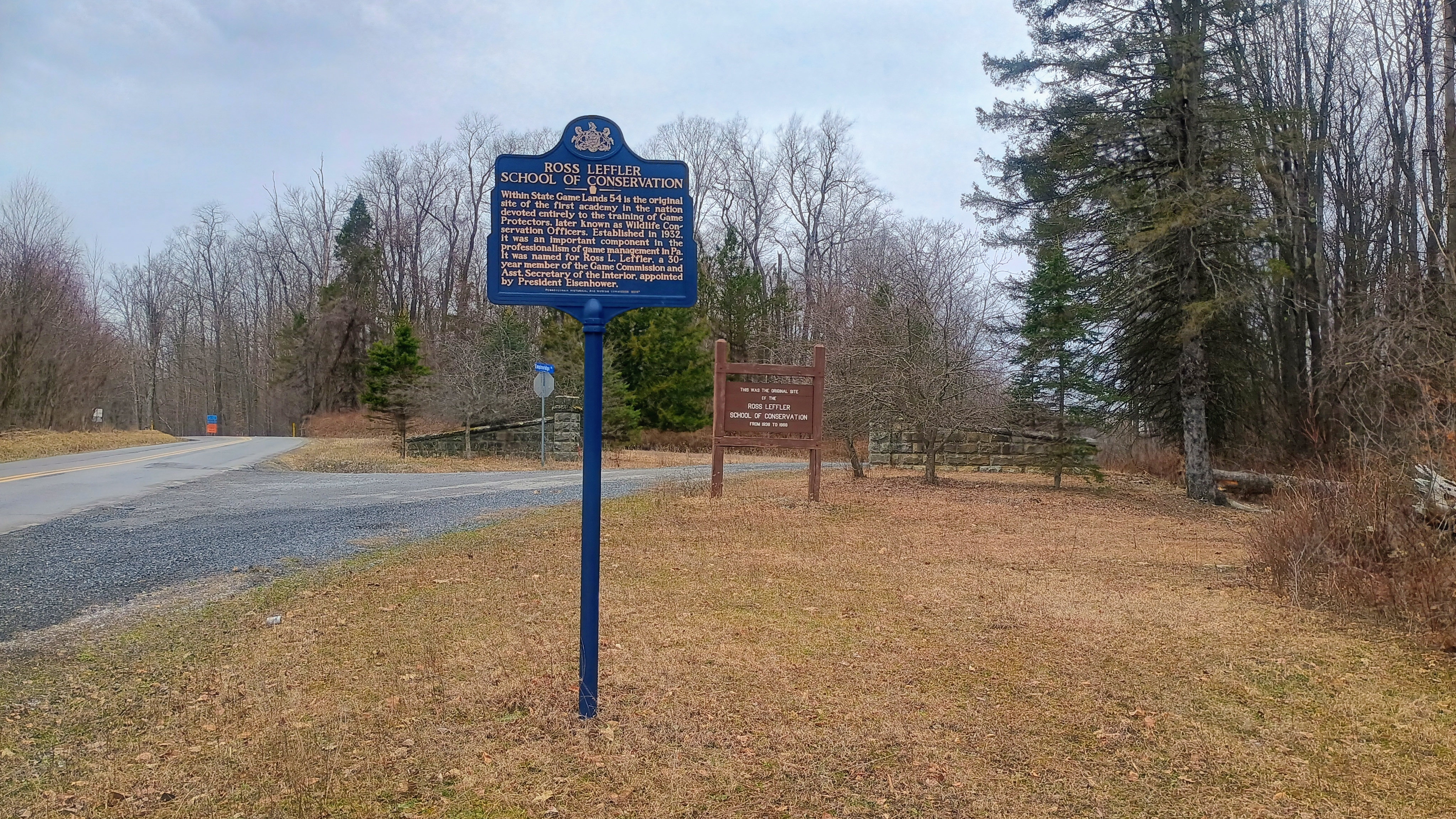
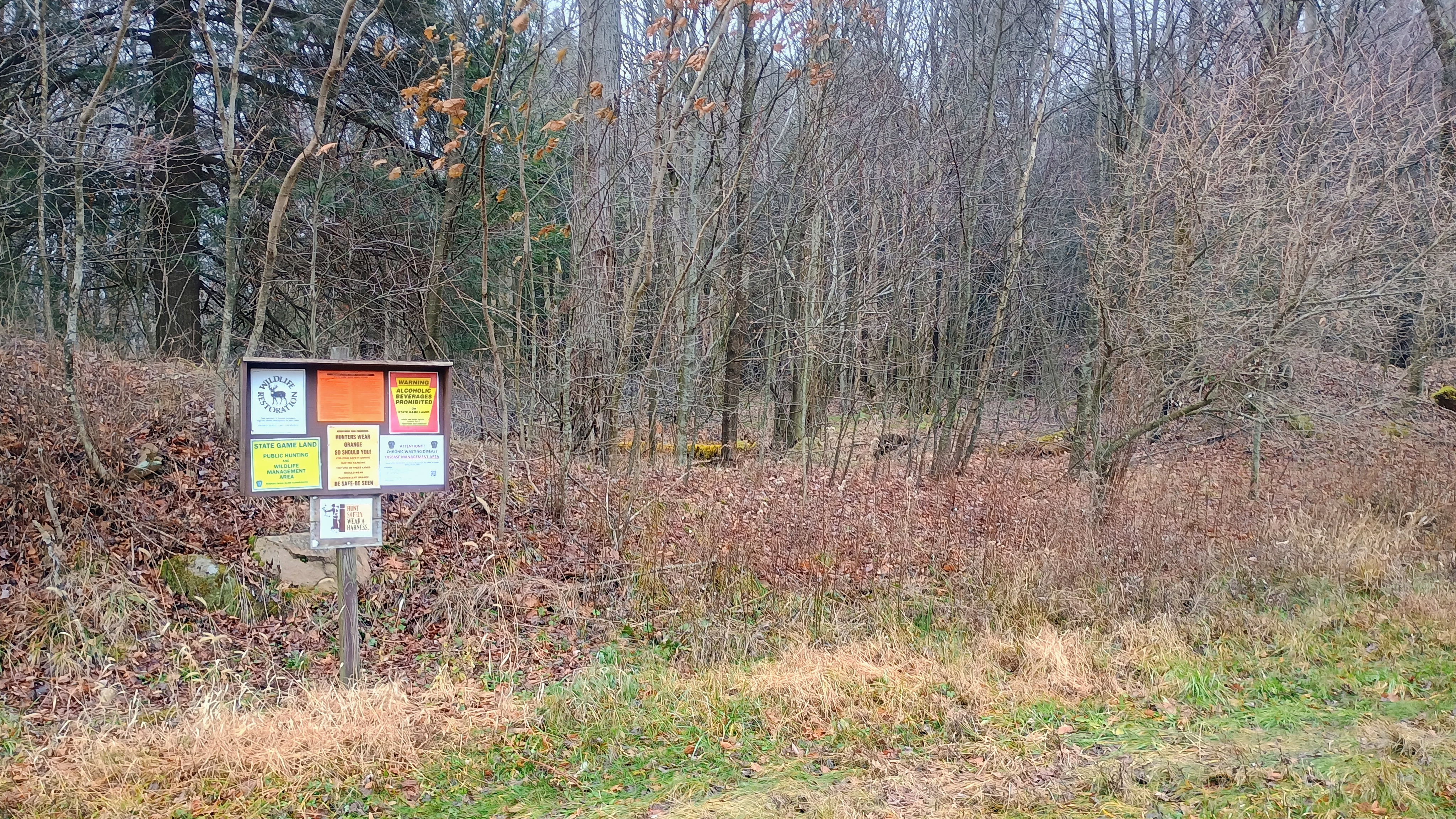
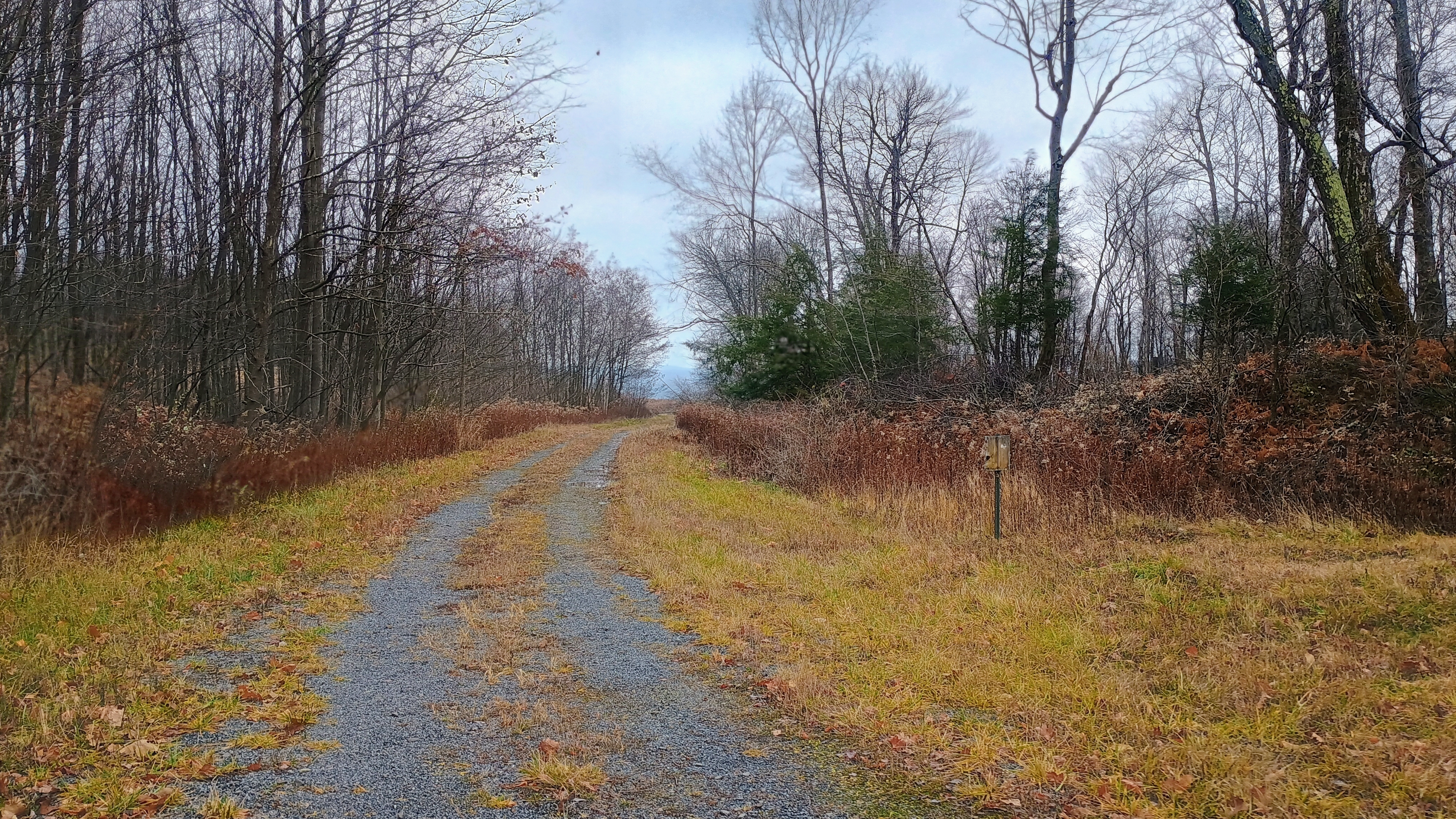
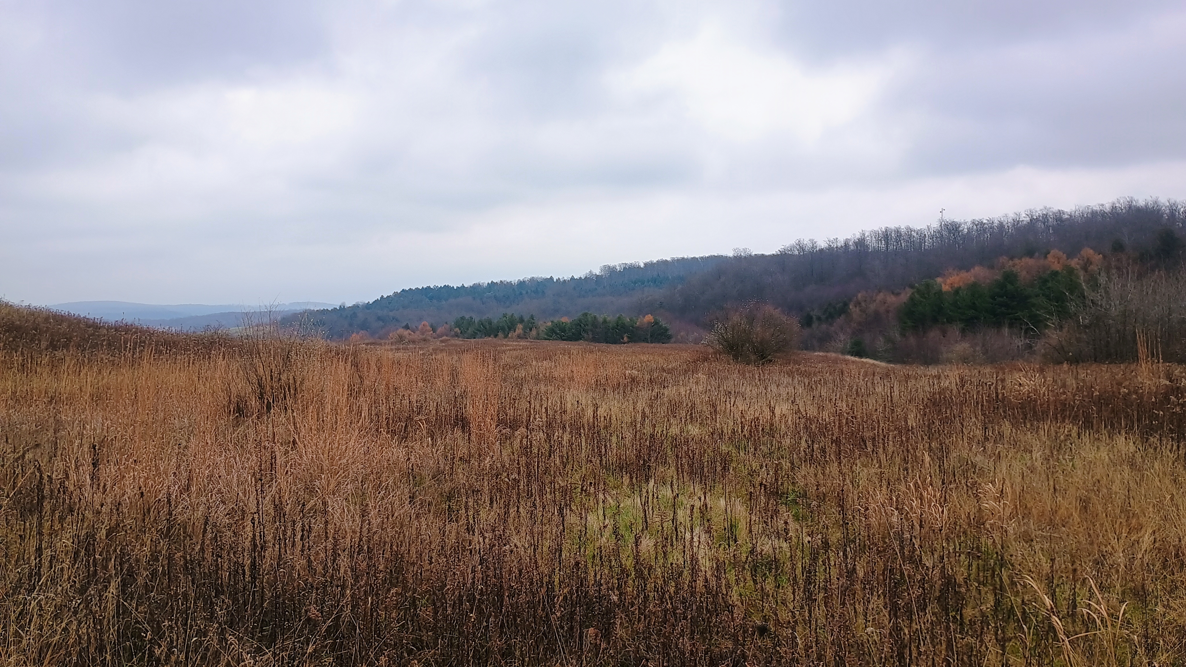
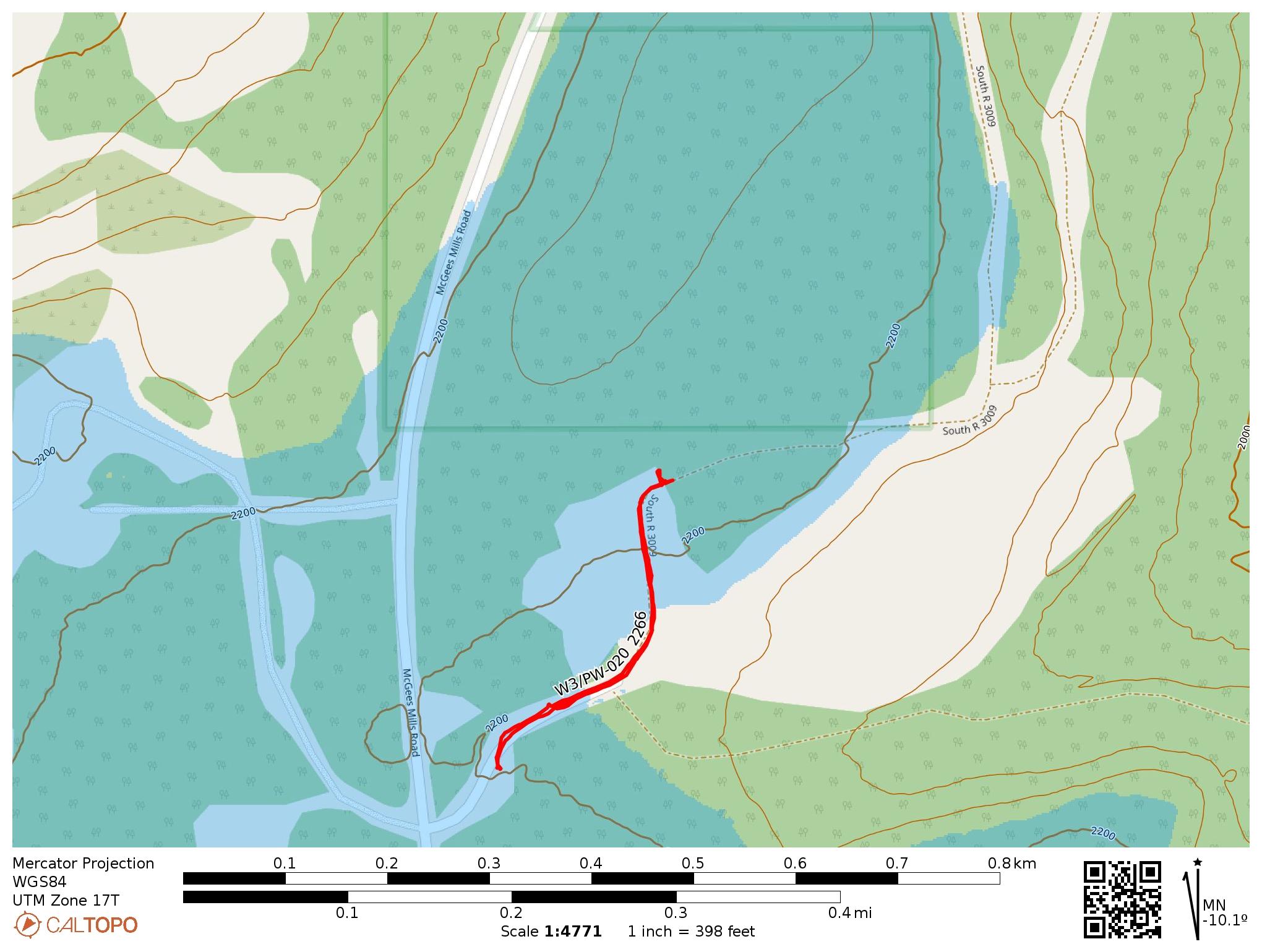
My last stop after this was to revisit DBQ #3, W3/PW-020 2266, an easy drive-on. The one DBQ I did not tackle this day was #5, W3/PW-050 2027 on State Game Land 31. This one requires a roughly 3.0 mi round trip and I didn’t leave quite early enough to have enough March daylight to do this last one.
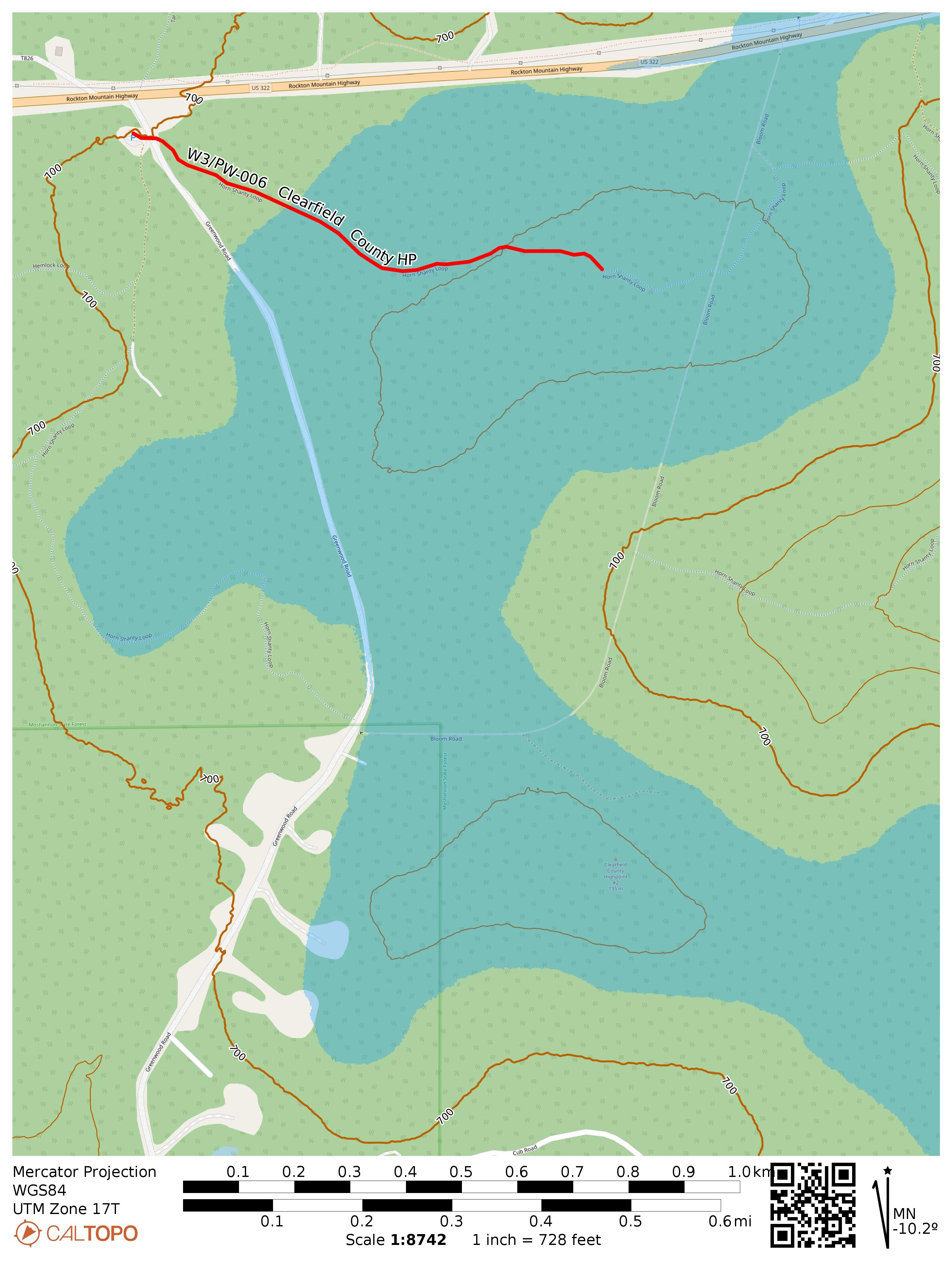
- Trailhead: 41.07618, -78.57820 : Rockton Mountain Trails network parking lot
- Map: [AA3TZ SOTA] [Purple Lizard Maps – Rockton Trails] [Moshannon State Forest Maps]
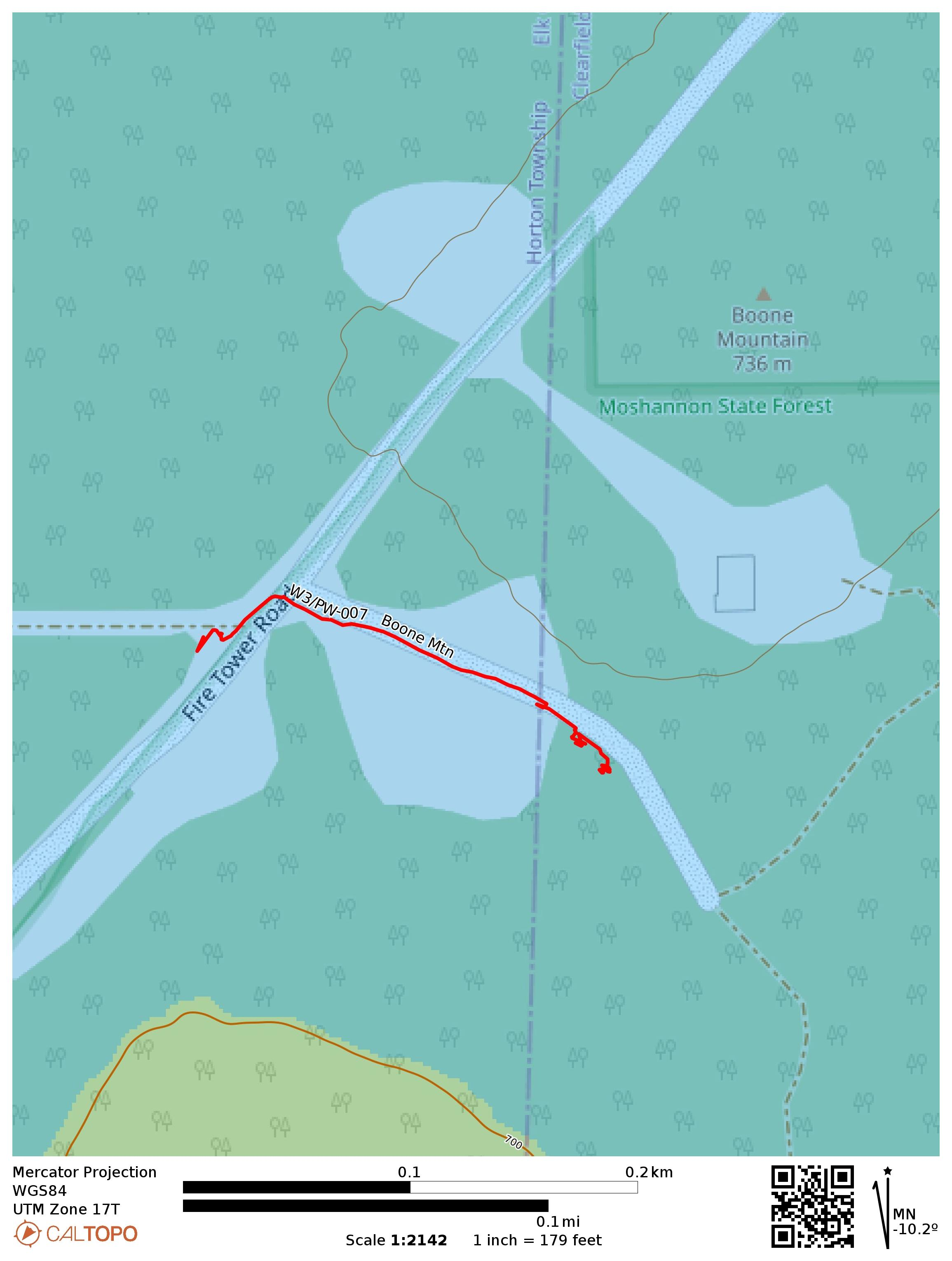
- Route: 0.5 mile hike on Horn Shanty Loop to get into AZ, though a few hundred yards will suffice.
- POTA: US-5472 Moshannon State Forest

 Tom Zajdel