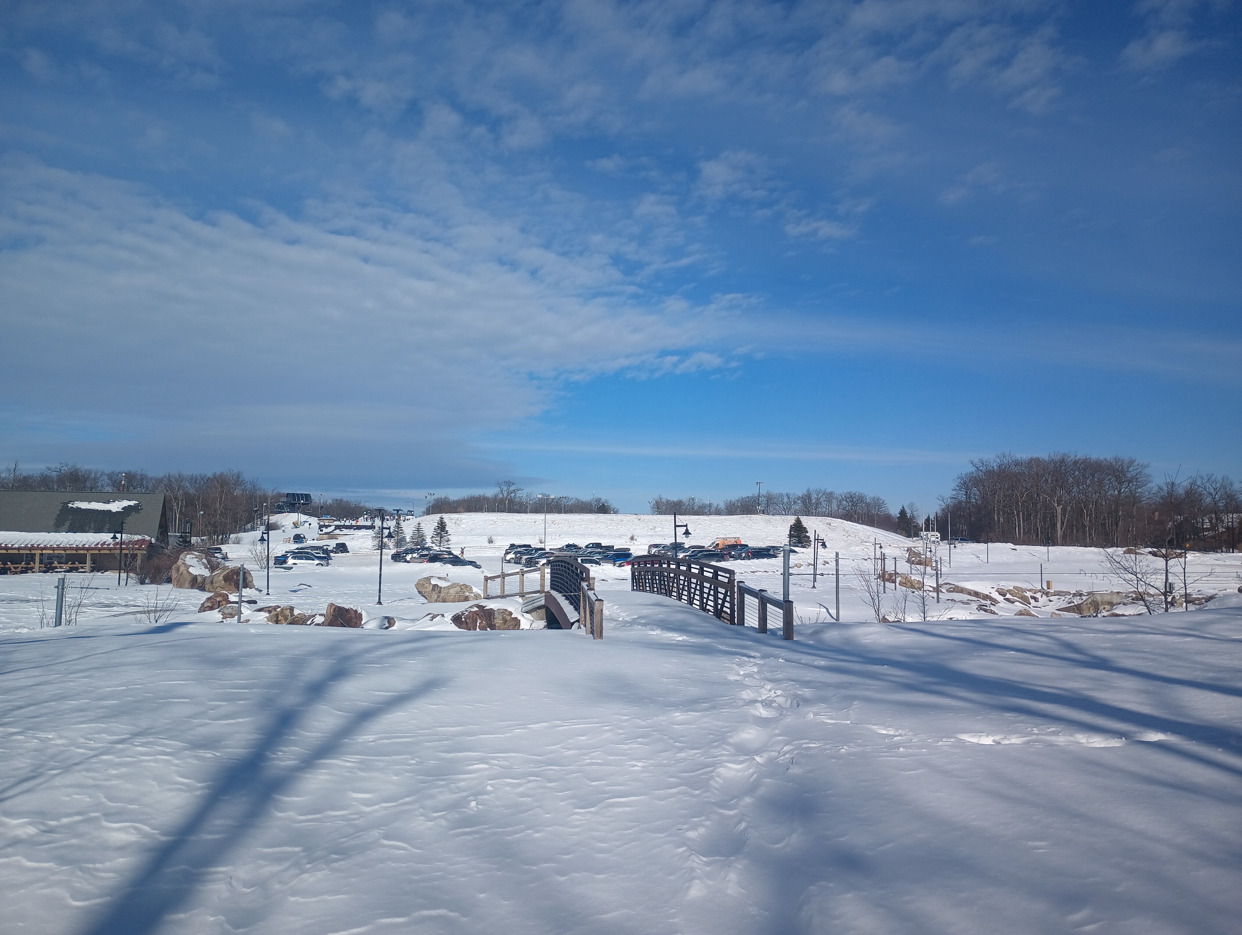
After activating W3/WE-002 Dans Rock, I stopped for lunch in Cumberland. I then started to work my way back towards Pittsburgh, stopping by the Wisp Ski resort for the tallest SOTA peak in Maryland at 3091 feet: Marsh Hill. This was the middle of the ski season, so I did some “creative” hiking to get out of the way of all the skiiers and snowboarders.
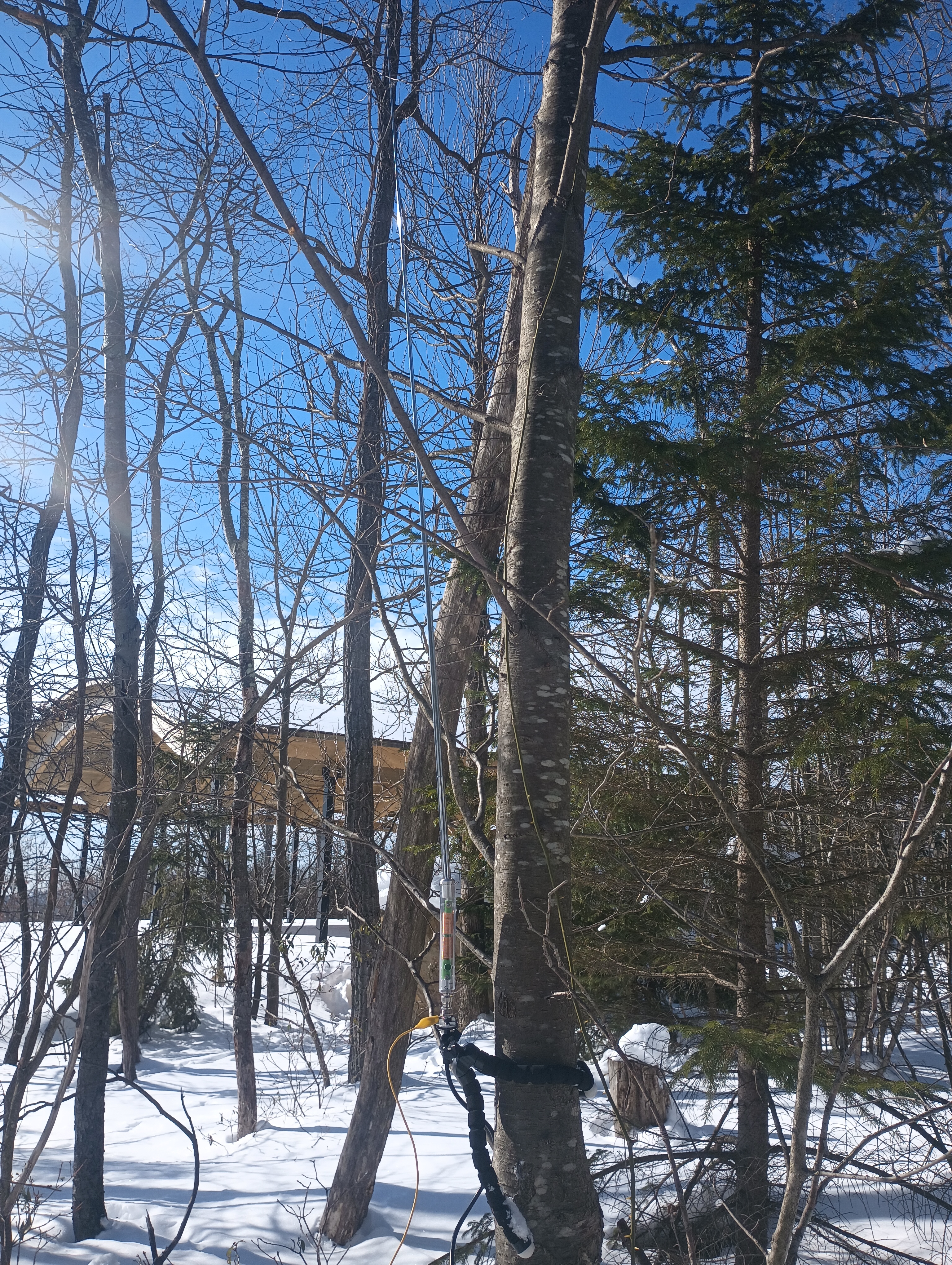
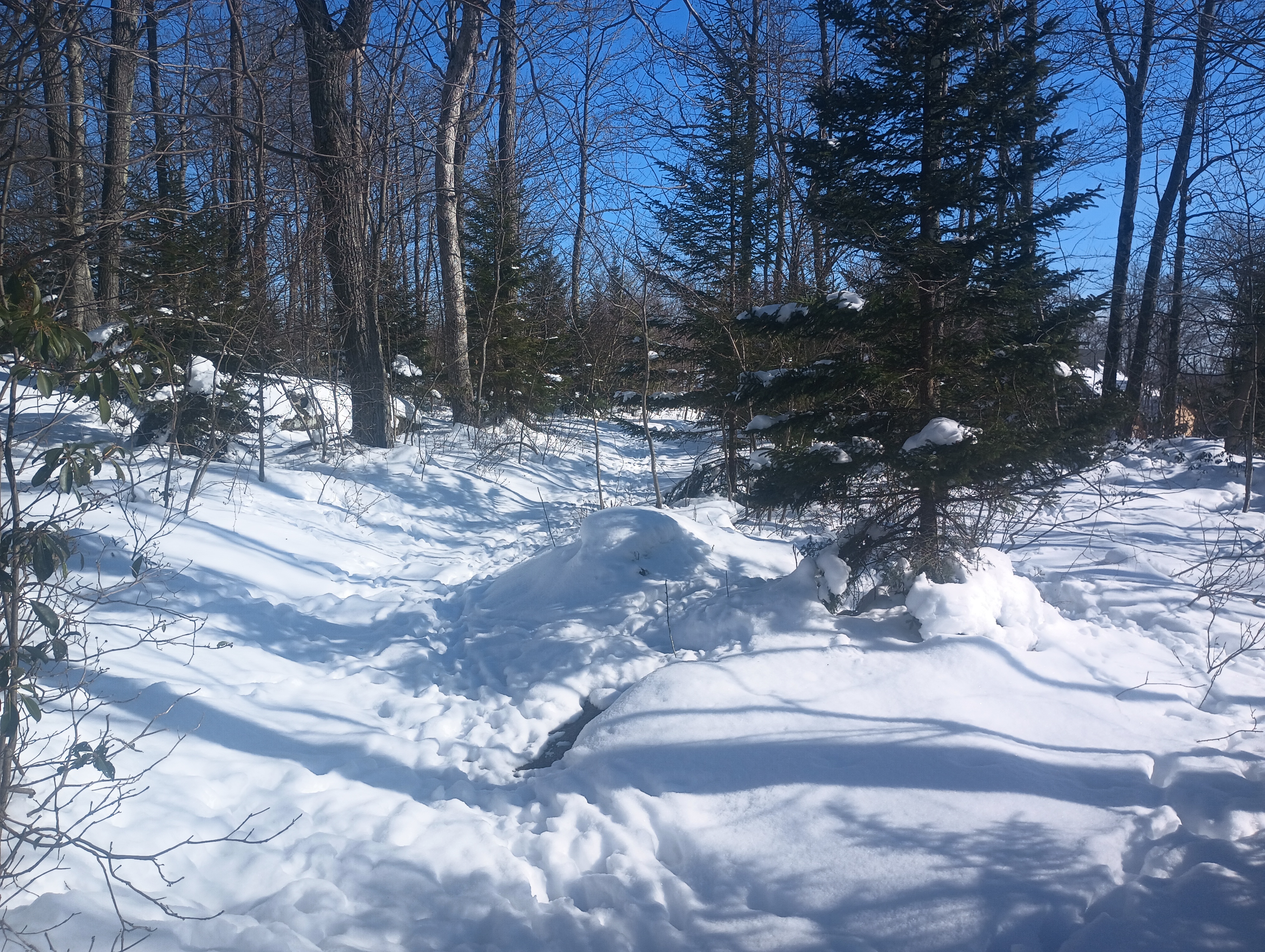
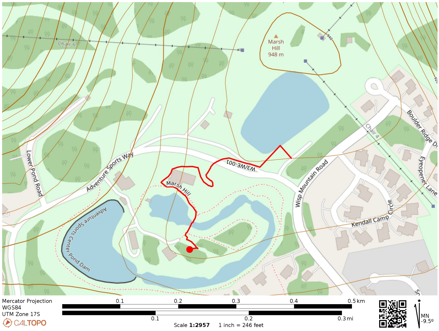
I walked around the “Adventure Sports Center” cabin towards the whitewater course. The rapids were obviously closed for the winter season, but there were a few trails around here that felt like an unobtrusive place to set up. I hunkered down into the snow, which was a bit over a foot deep, in a small wooded area. I strapped the AX1 vertical to a tree and worked 22 QSOs, all on 20m.
These are probably going to be the easiest 10 (+3 winter bonus) SOTA points I’ll ever earn! I continued on for a return activation of W3/PT-011 Pondfield 2 Benchmark, rounding out the day with three SOTA peaks and a daily haul of 35 points, a new record for me!
Trailhead: 39.547121, -79.3714821 : Wisp resort parking lot
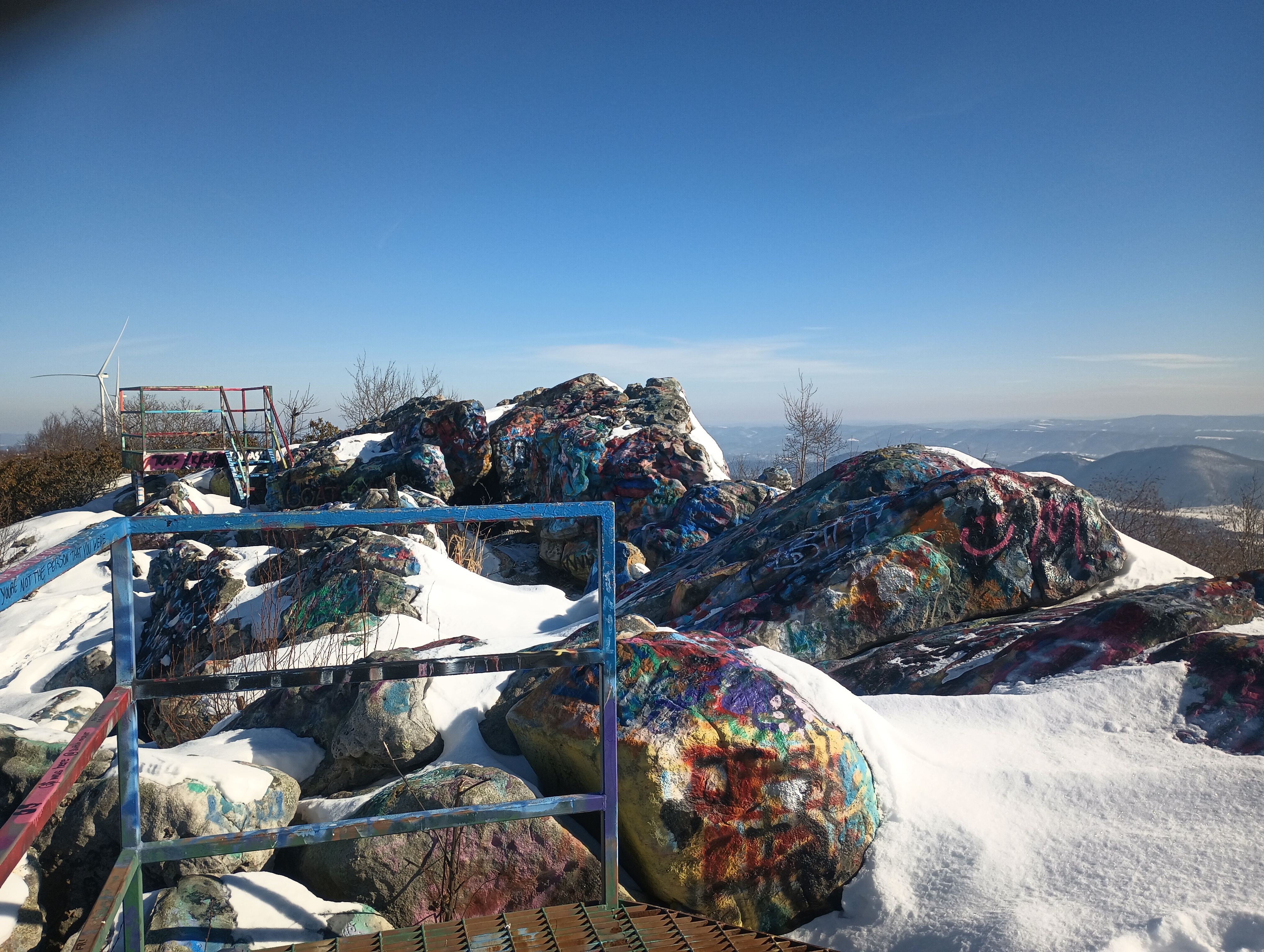
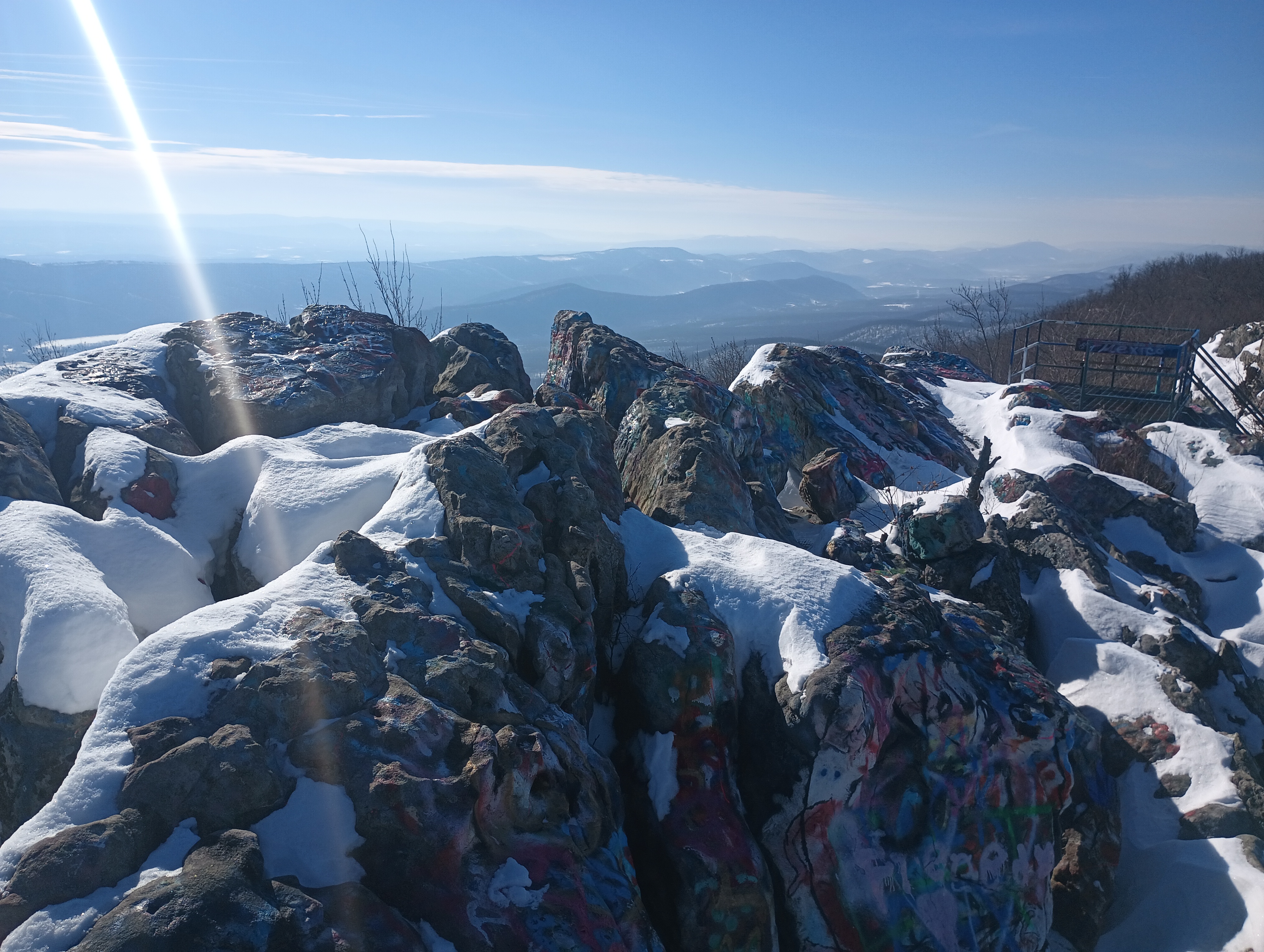
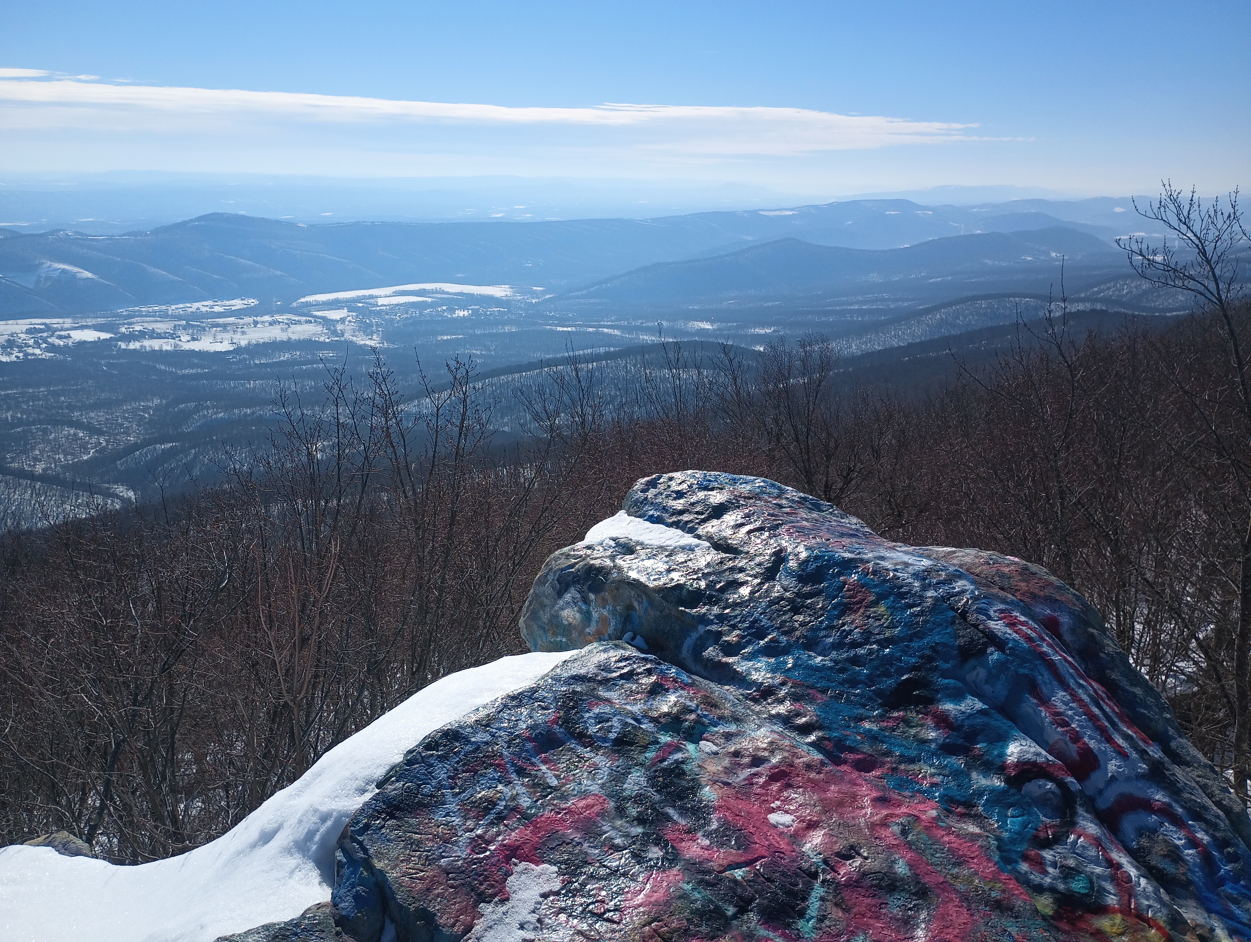
Dan’s Rock is the high point of Allegany County in Maryland, at 2894 feet. It’s the peak of Dans Mountain, and a tremendously popular place to paint rocks. I went here to start a day of a couple of activations in the Cumberland, Maryland area. I was the only one here on a cold January morning.
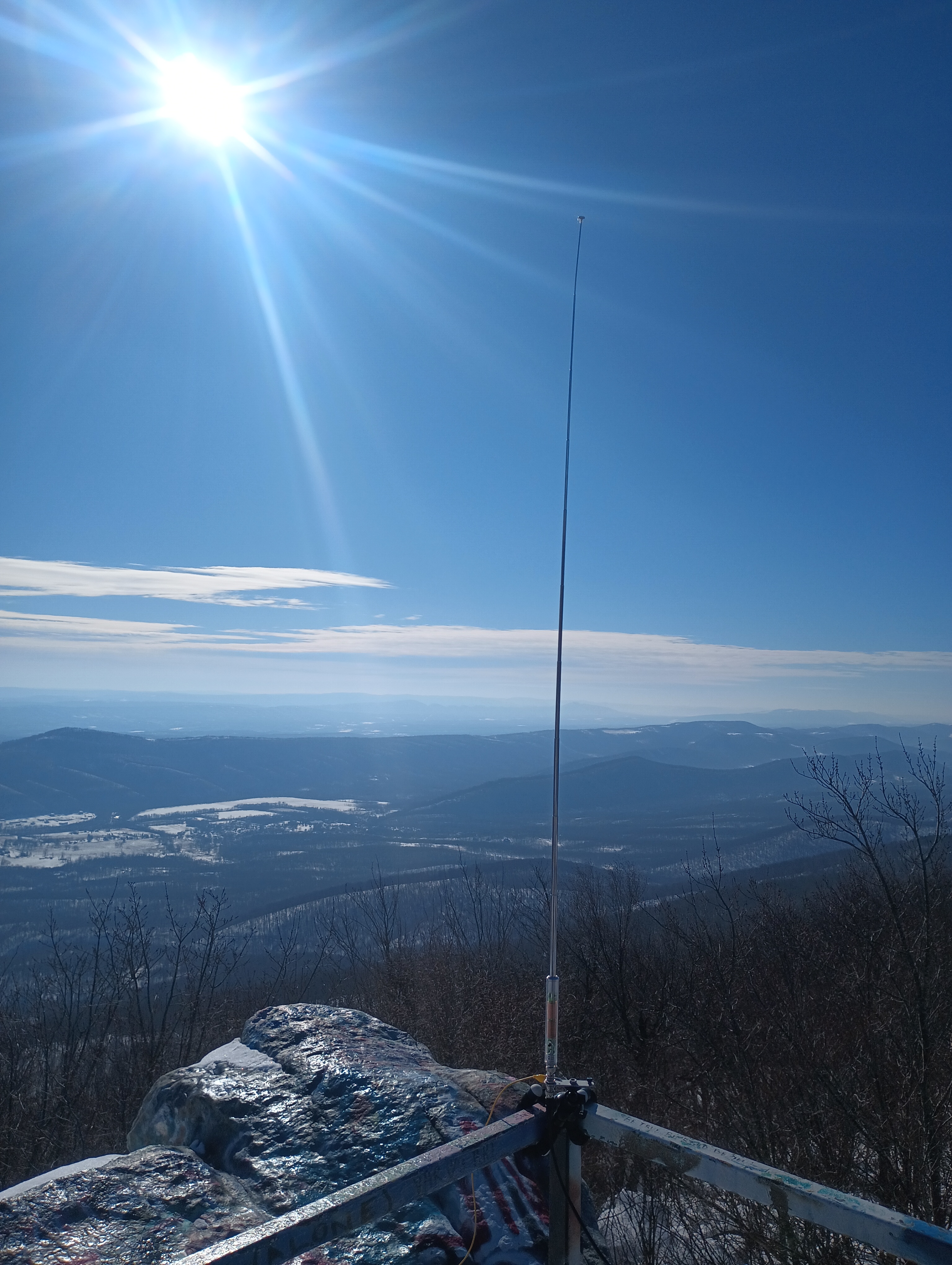
I walked up the green scaffolding to get to the spectacular overlook. There was still snow on the rocks. I dusted the snow off a convenient bench at the top and wrapped my antenna tripod along the railing. The AX1 is truly a versatile antenna, and made it a snap to get set up! A couple did come up onto the observation platform for a few pictures, and then left quickly due to the cold winds.
The wind was harsh, but I stuck around for 17 QSOs, including DX on 20m: F4WBN and F6EAZ in France, and two S2S on 15m: AD5A on W5A/MA-001 Magazine Mountain and N7CW on W7A/CS-038 Beacon Hill.
I had considered trying to make this a combined SOTA/POTA activation by staying in Dans Mountain Wildlife Management Area (US-7767) on the way up, but I just couldn’t pass up the opportunity to operate from the top of the rock. Maybe next time!
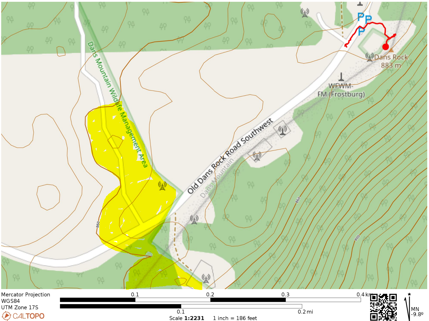
The activation zone is roughly bounded by the 860m contour. There is a small overlap of the AZ with POTA site US-7767 Dans Mountain Wildlife Management Area, highlighted in yellow. Perhaps there’s a good spot in here for a POTA/SOTA activation!
Trailhead: 39.58171, -78.89811 : Parking pad by radio towers
Route: A couple minutes walking up stairs. The parking spot is already in the activation zone.
POTA: Old Dans Rock Road SW passes through Dans Mountain Wildlife Management Area (US-7767). The boundary of the park appears to be within the AZ, but you’d have to pick your operating point carefully.
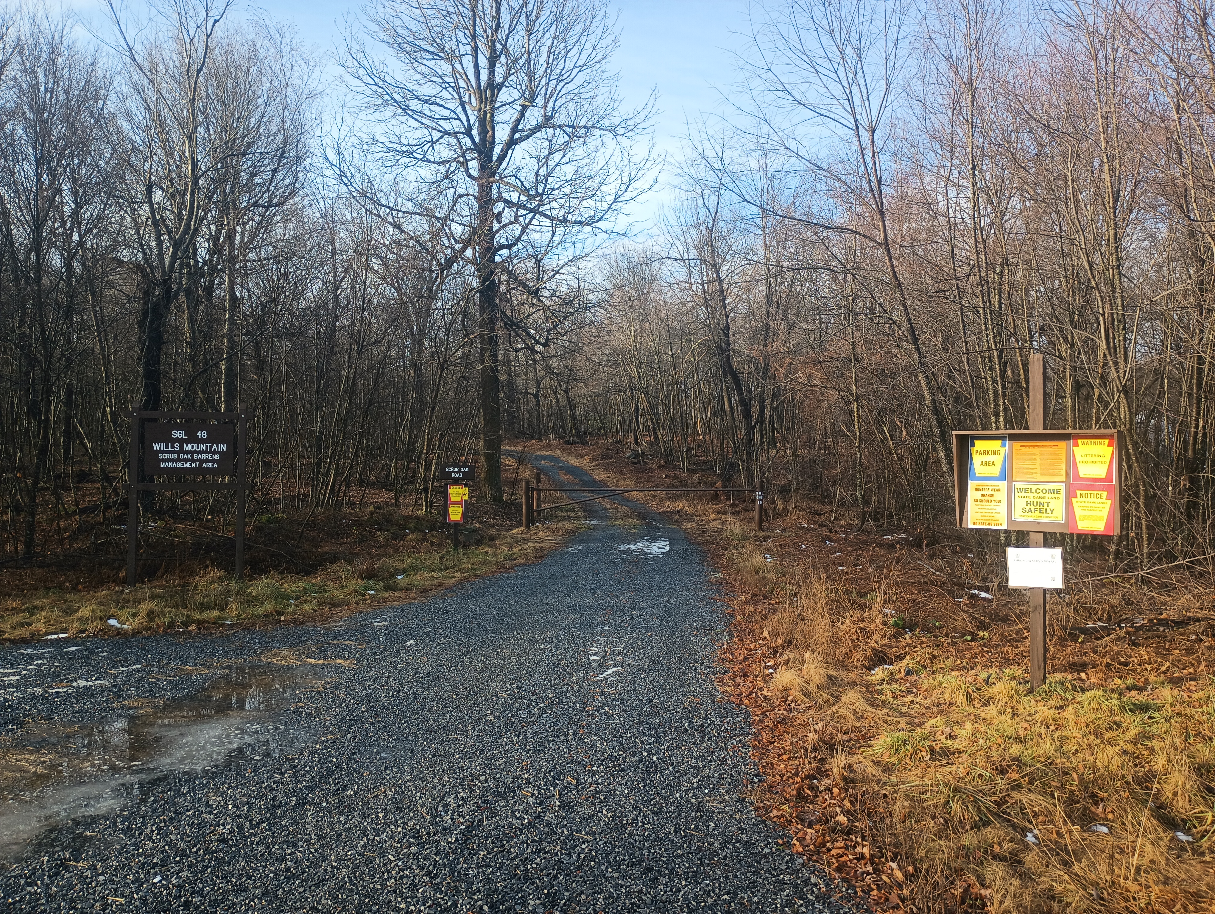
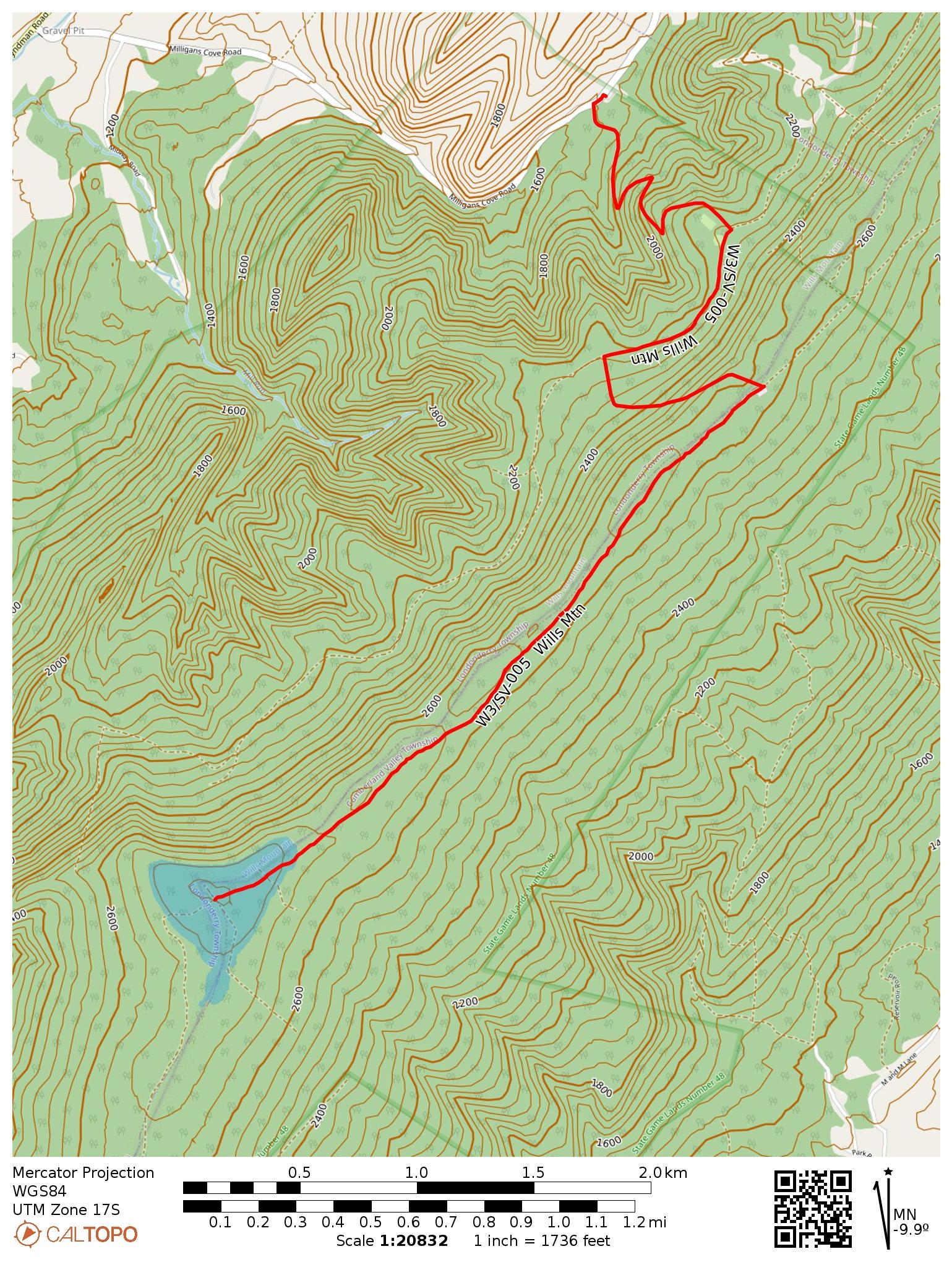
This was my last SOTA activation of 2024, in late December. I was avoiding going out due to rifle season, but now that that was over, it was time for one more radio hike. Wills Mountain is a ridge that extends north-south between Pennsylvania and Maryland, located in PA State Game Land 48. You have your choice of two roads when driving there: PA-96/Hyndman Road goes along the west side of the ridge, while US-220 goes along the east side. There appear to be many ways up, though trail options are limited from the PA-96 side, which is the road I happened to use.
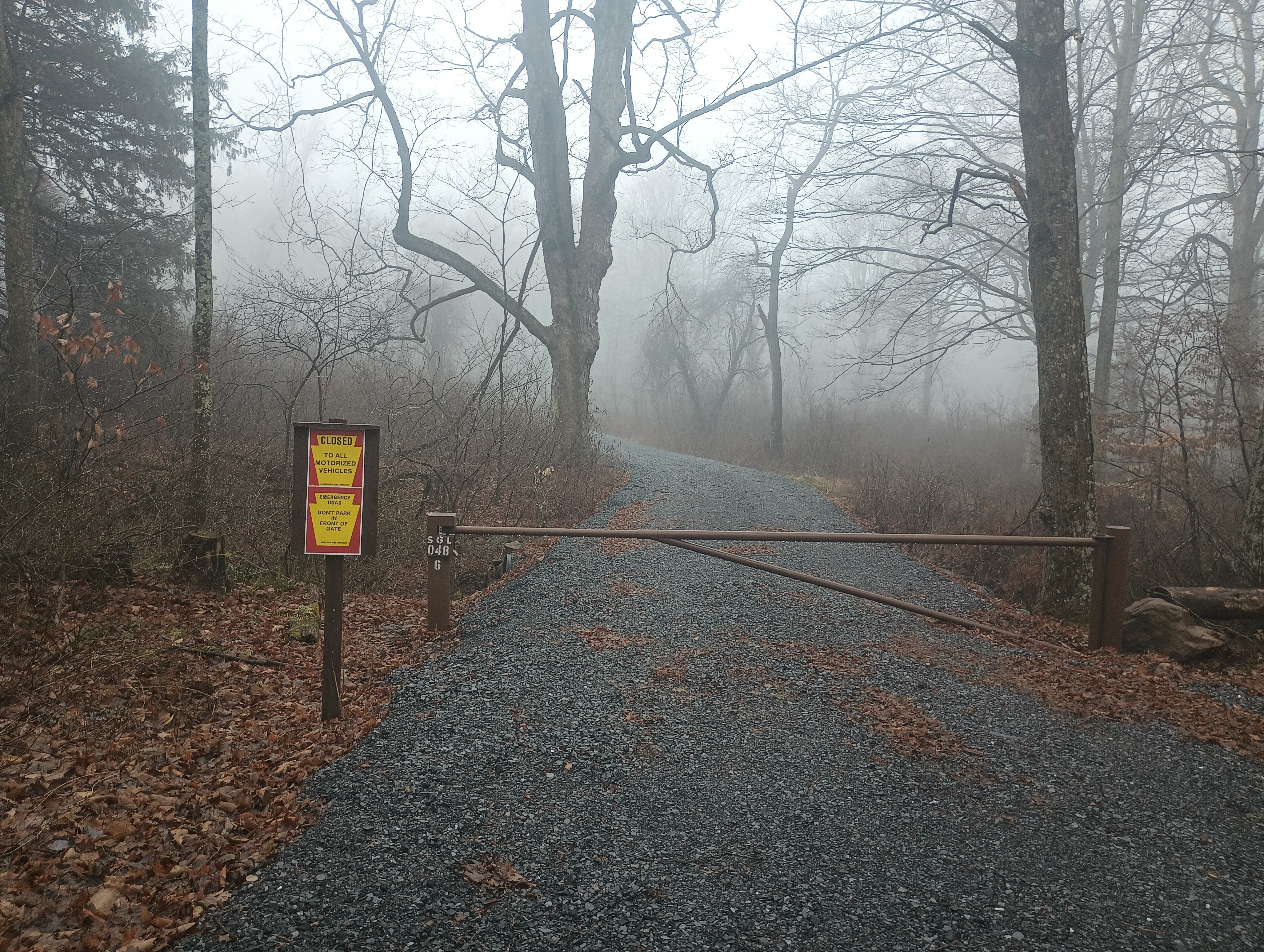
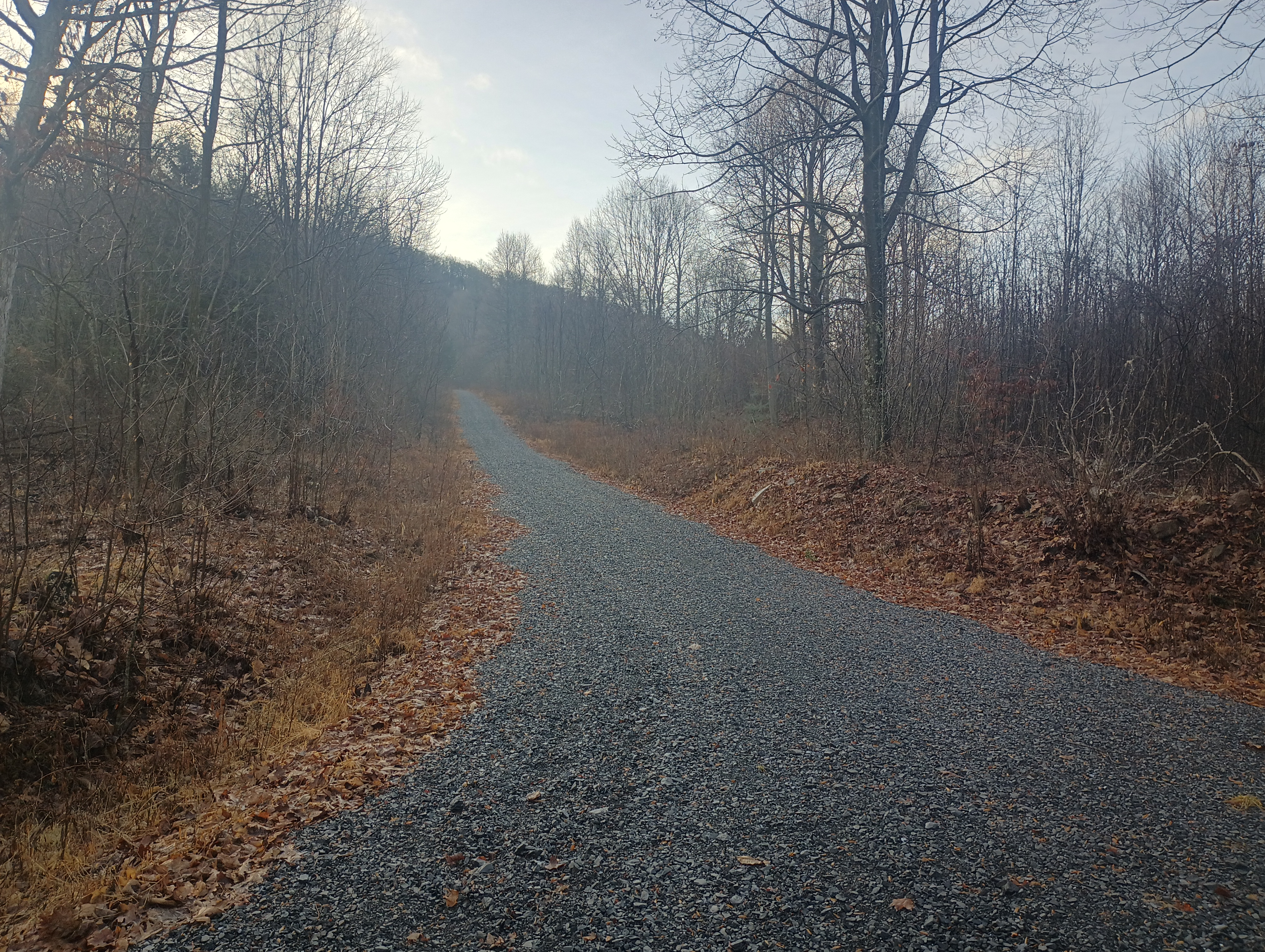
I turned onto Milligans Cove Road to get into the game lands and stopped at a small parking area by a gated dirt road. Here the game lands are divided in two by private property, and going any farther would have gotten me into needless trespassing. I did not have to pass through any gates to get here, so this route should be open outside of hunting season.
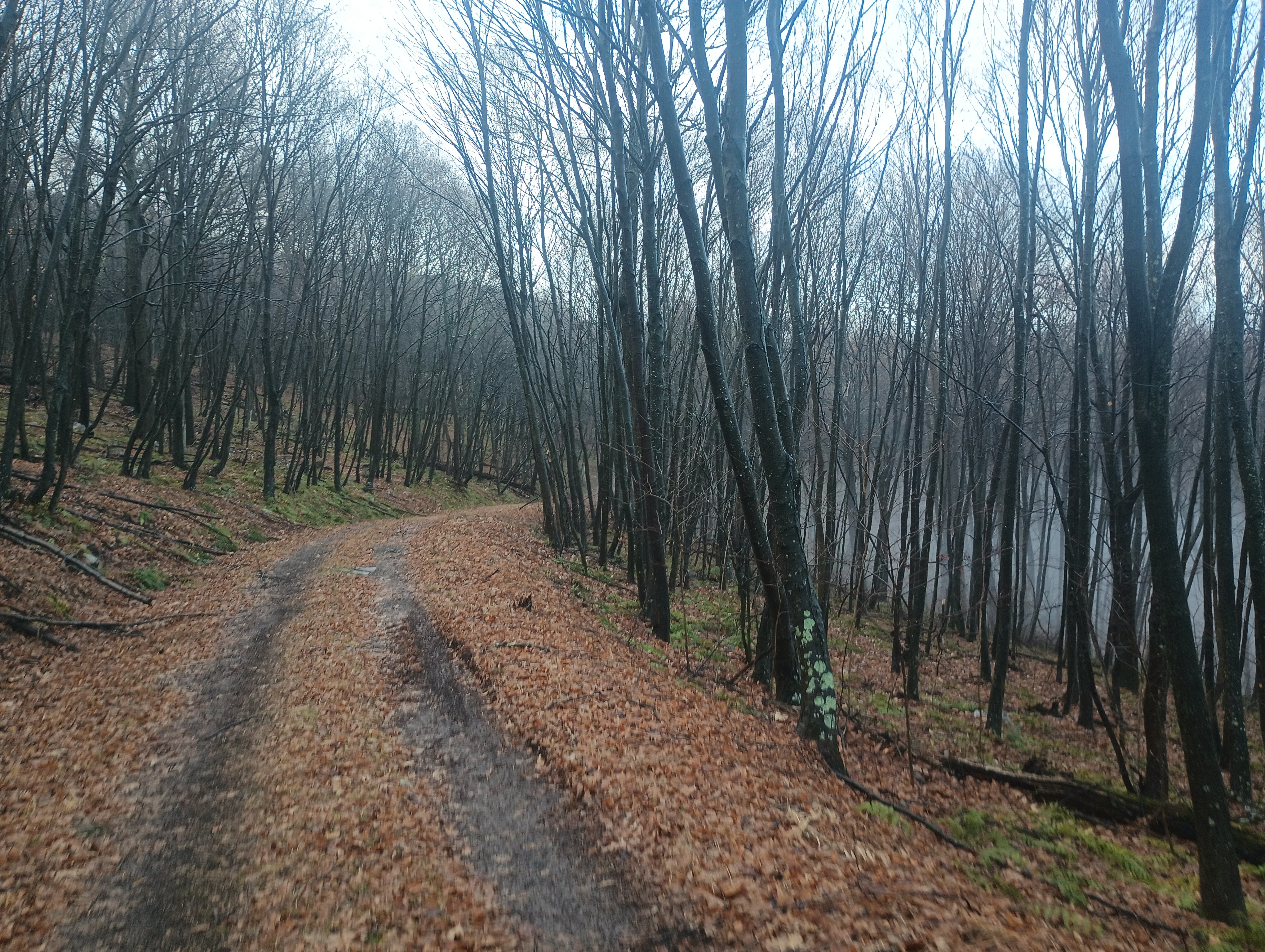
The first mile of the hike was a series of switchbacks up for 550 feet of elevation gain. The trail flattened out for a half mile, then it was another 400 feet of climb until mile 2. Here is a parking area that is open during hunting season, and would be a great place to park, but you have to approach from the east US-220 side of the mountain ridge.
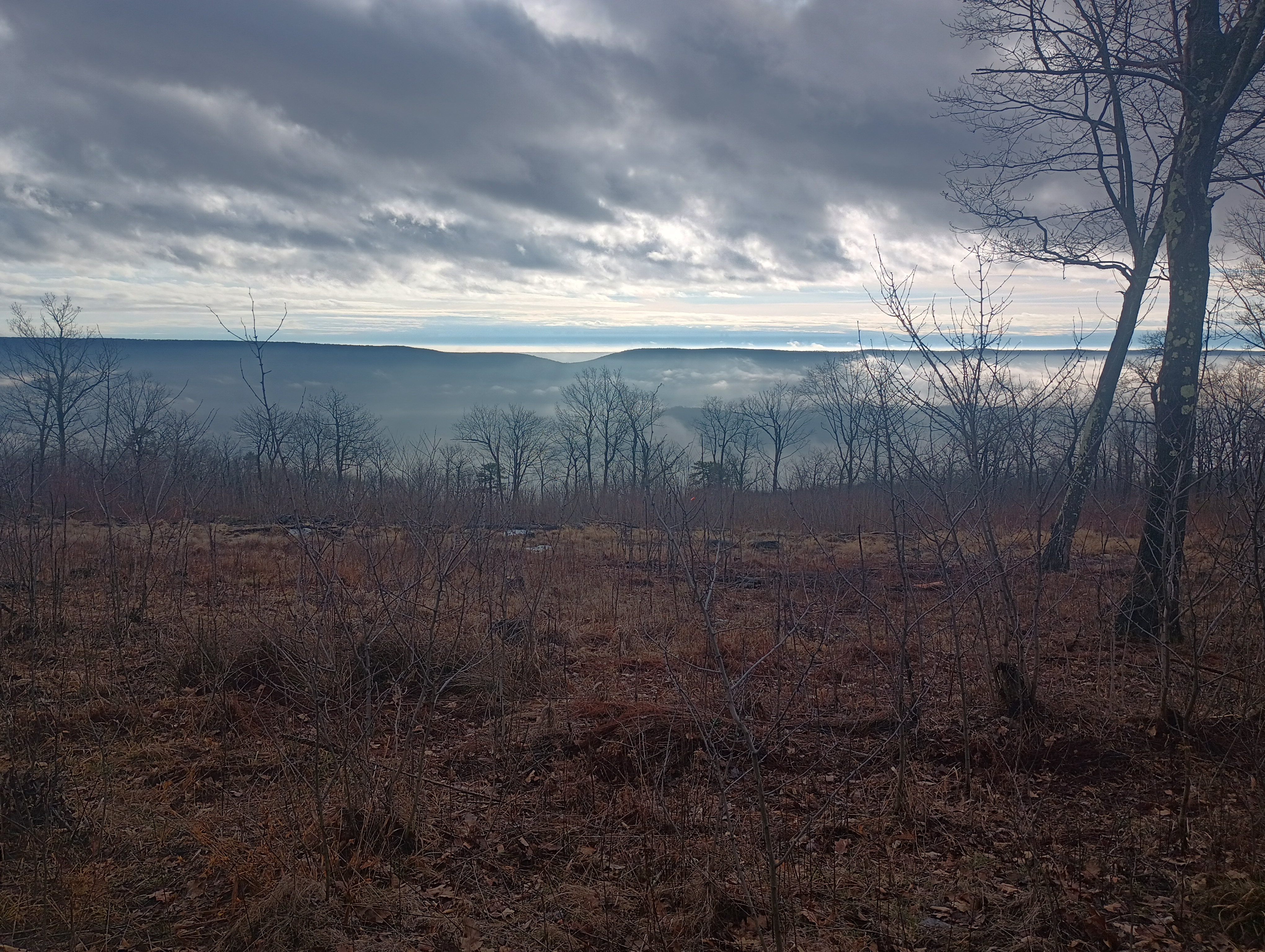
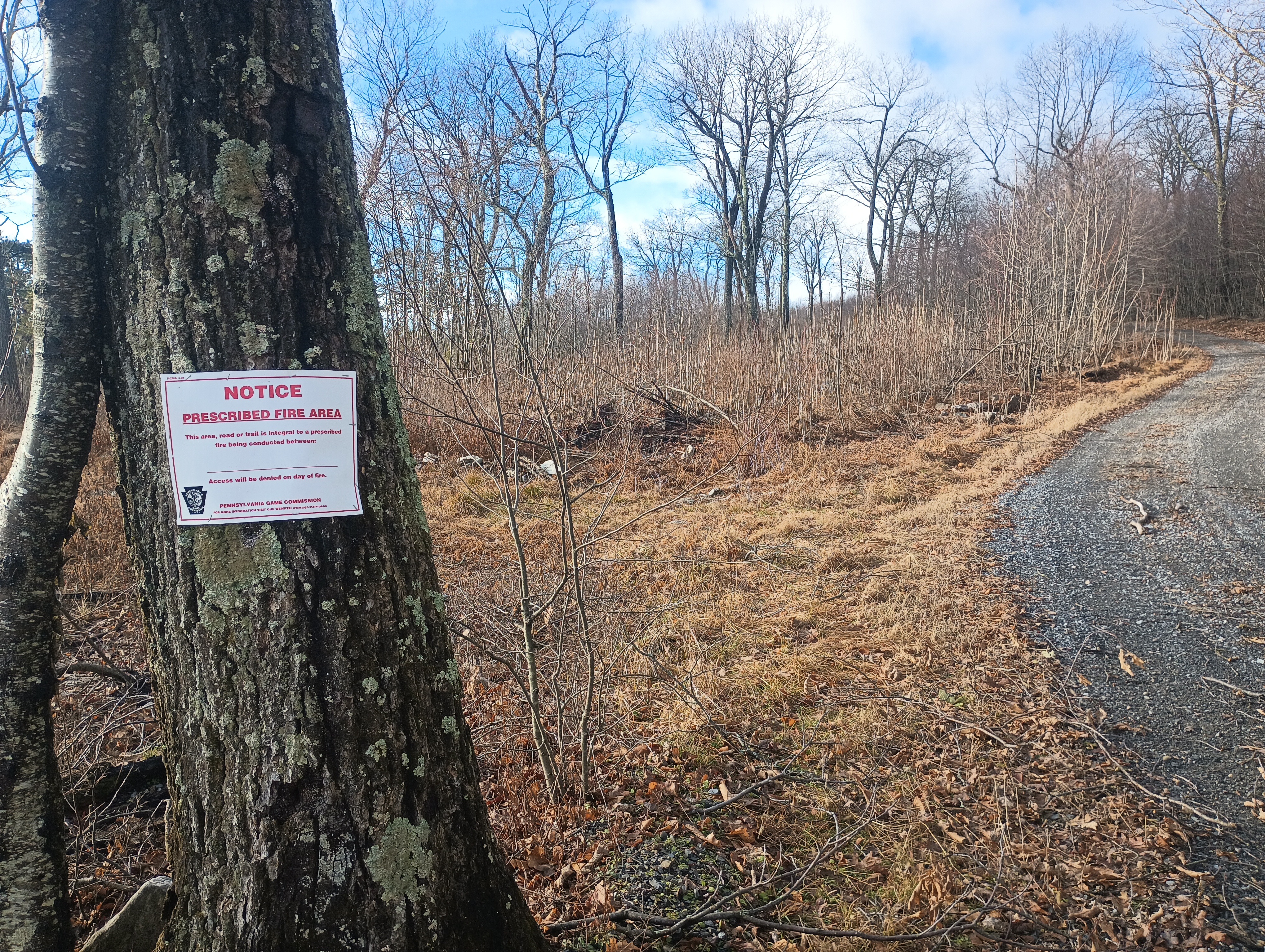
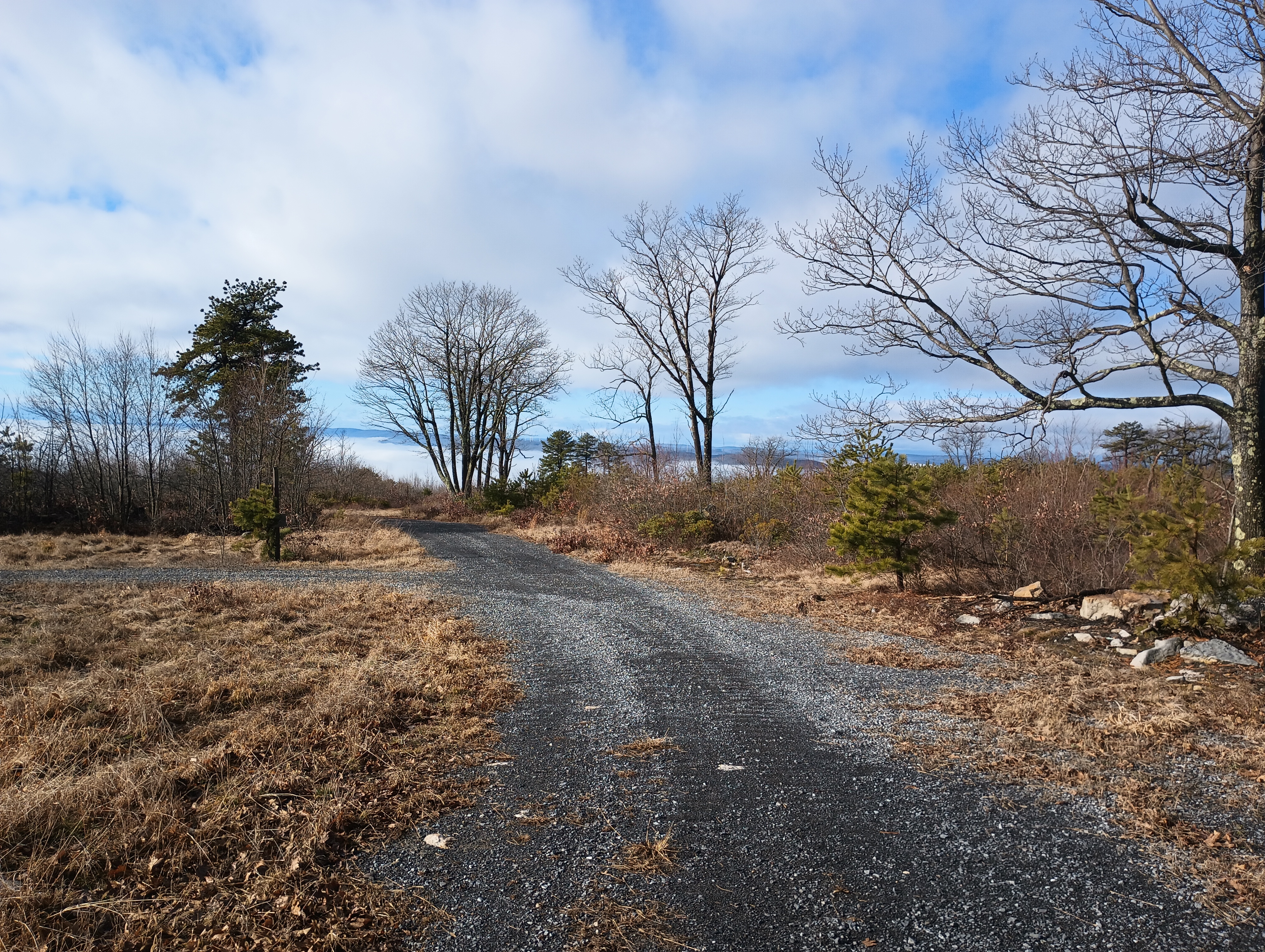
After this, the hike followed the Wills Mountain ridge for 2 miles. From here, I had a cool breeze. This is a controlled burn area, so there are some wonderful views of the surrounding hills in the cleared parts. At the summit are plenty of trees for throwing up wires.
Views of Evitts Mountain from the ridge.
Since this was one of the last days for the 2024 10m SOTA challenge, I started on 10m, picking up some DX: F4WBN, IK5DAK, and M1EYP/P on G/SP-015 The Cloud. I also worked WN2G S2S on W3/PW-038 Jefferson County Highpoint on 40m, which is on my to-do list of nearby SOTA peaks. I did not linger too much longer since I was hearing continuous hunting fire in the distance (or perhaps it was a shooting range), so I wrapped with 14 QSOs.
I had planned to follow this up with an activation of nearby W3/SV-006 Martin Hill, but I had to rush back for dinner plans, so that became a POTA activation of Buchanan State Forest instead. I’ll be back!
Trailhead: 39.87622, -78.66157 : State Game Land 048 parking area. (39.86477, -78.65392 is another parking area open during hunting season that cuts off 4 miles RT.)
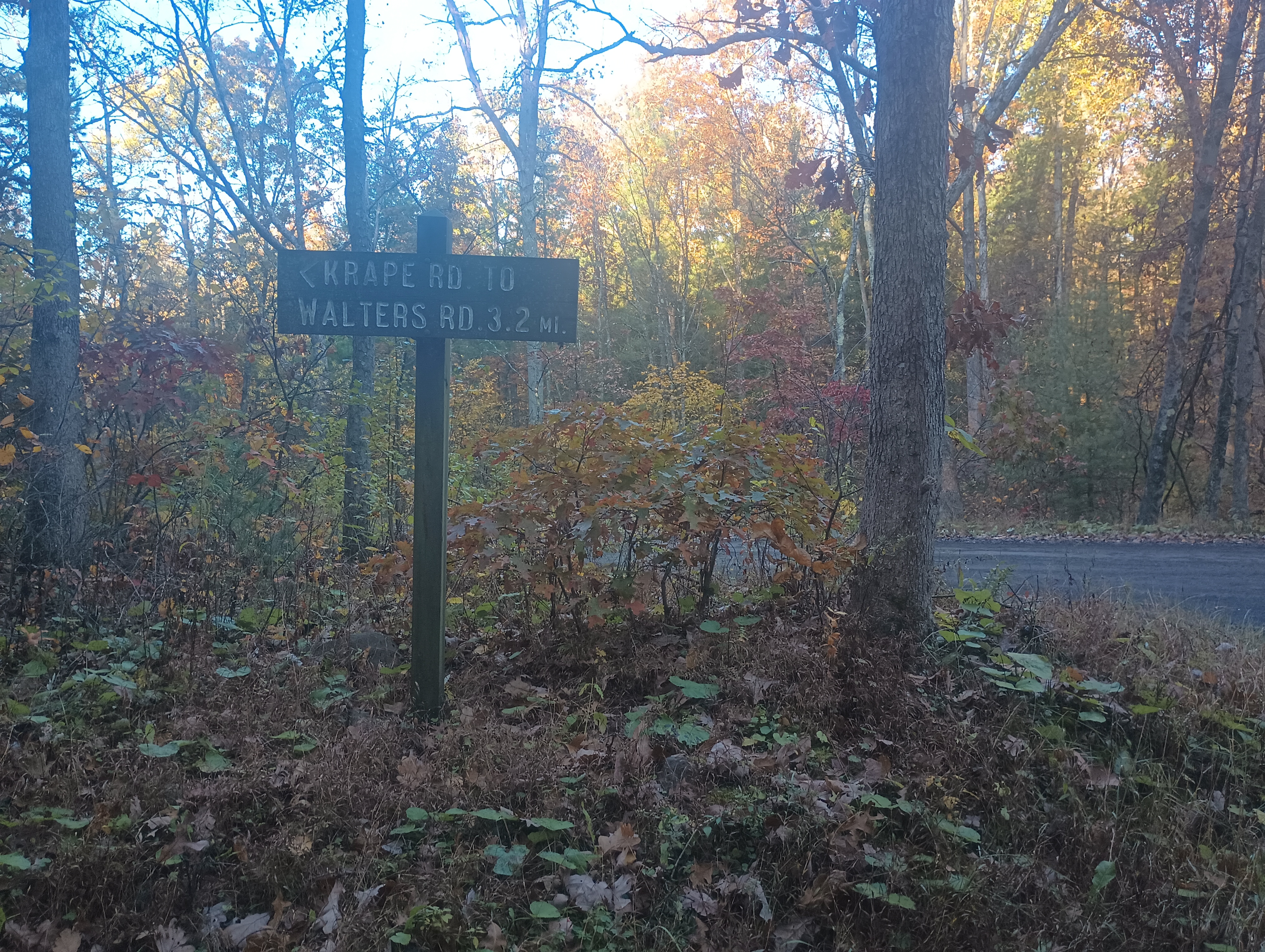
I decided to add a couple quick SOTA activations at the end of my fall break trip to State College, and Jumbo Benchmark was first on the docket. I headed east on I-80 before dawn towards Tiadaghton State Forest. The morning autumn light started to break as I turned onto Sand Spring Road, a gravel forest road. There is a junction about a half mile in, where I turned south onto Krape Road (following N3TWM’s trip report), which climbs up into the AZ.
I found a shoulder to pull over onto; there are several parking spots like this along Krape Road. I walked a bit into the woods and got set up. I got some nice DX on 10m, including two S2S: MW0IDX, EA1AER, MW0LEP/P S2S on GW/SW-025, HB0EVF/P S2S on HB/VS-239. Wrapped up on 20m and 40m for a total of 13 QSOs in 20 min. Kept this one quick and short since I had a lot of driving ahead that day!
The Mid State Trail passes through nearby, so this summit could be a short detour on a longer backpacking trip.
Trailhead: 41.08302, -77.21094 : Side of Krape Road
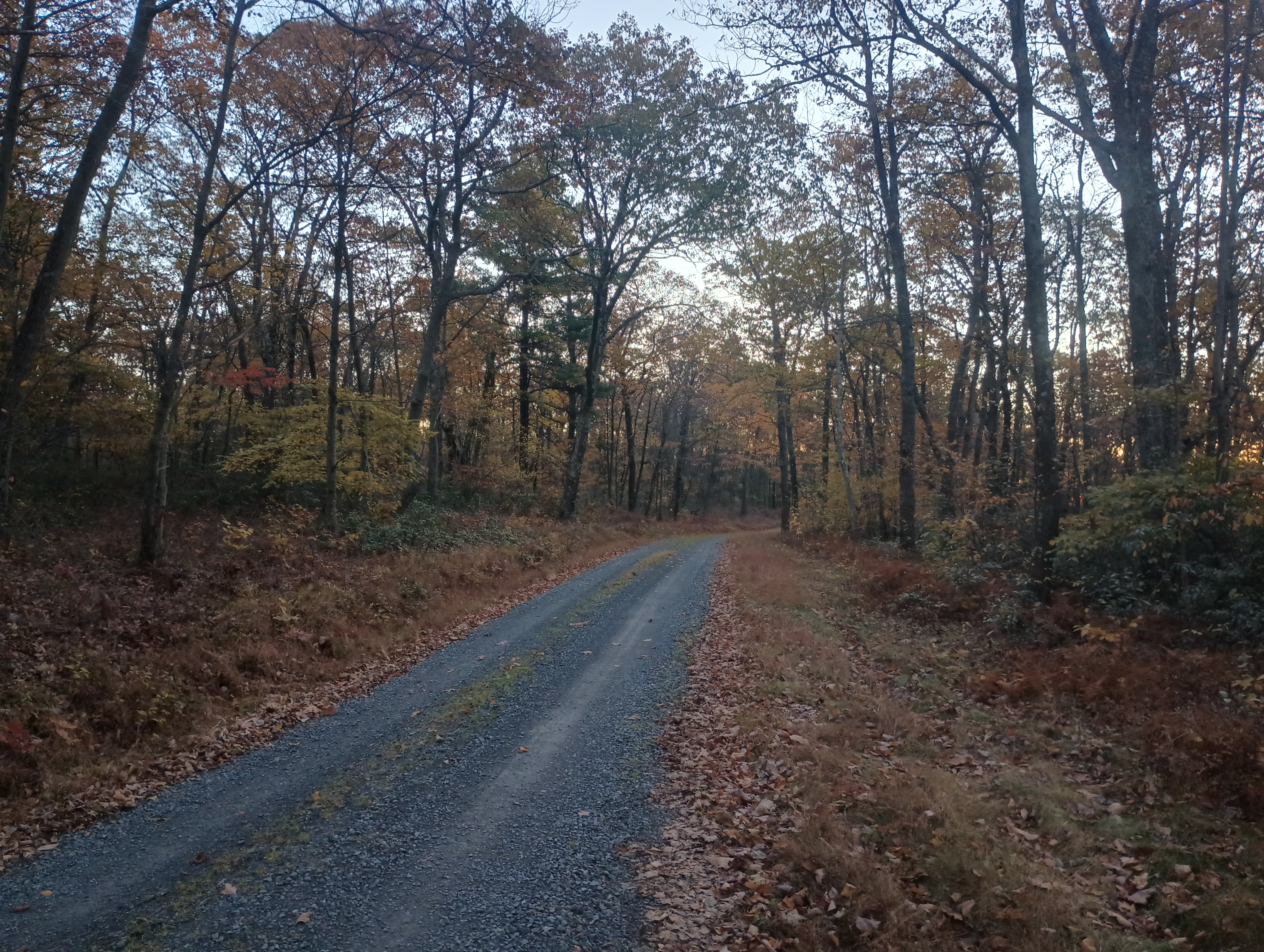
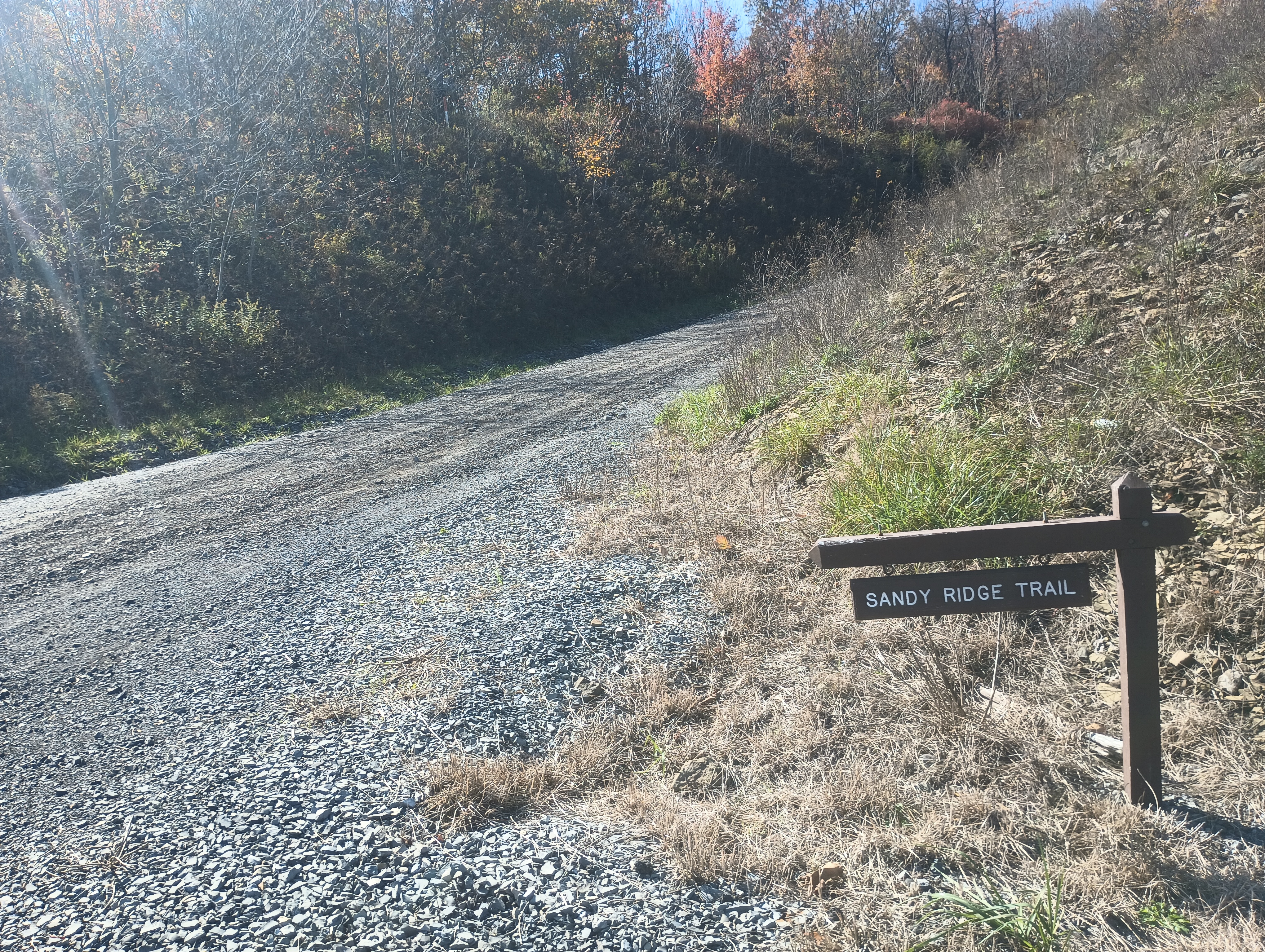
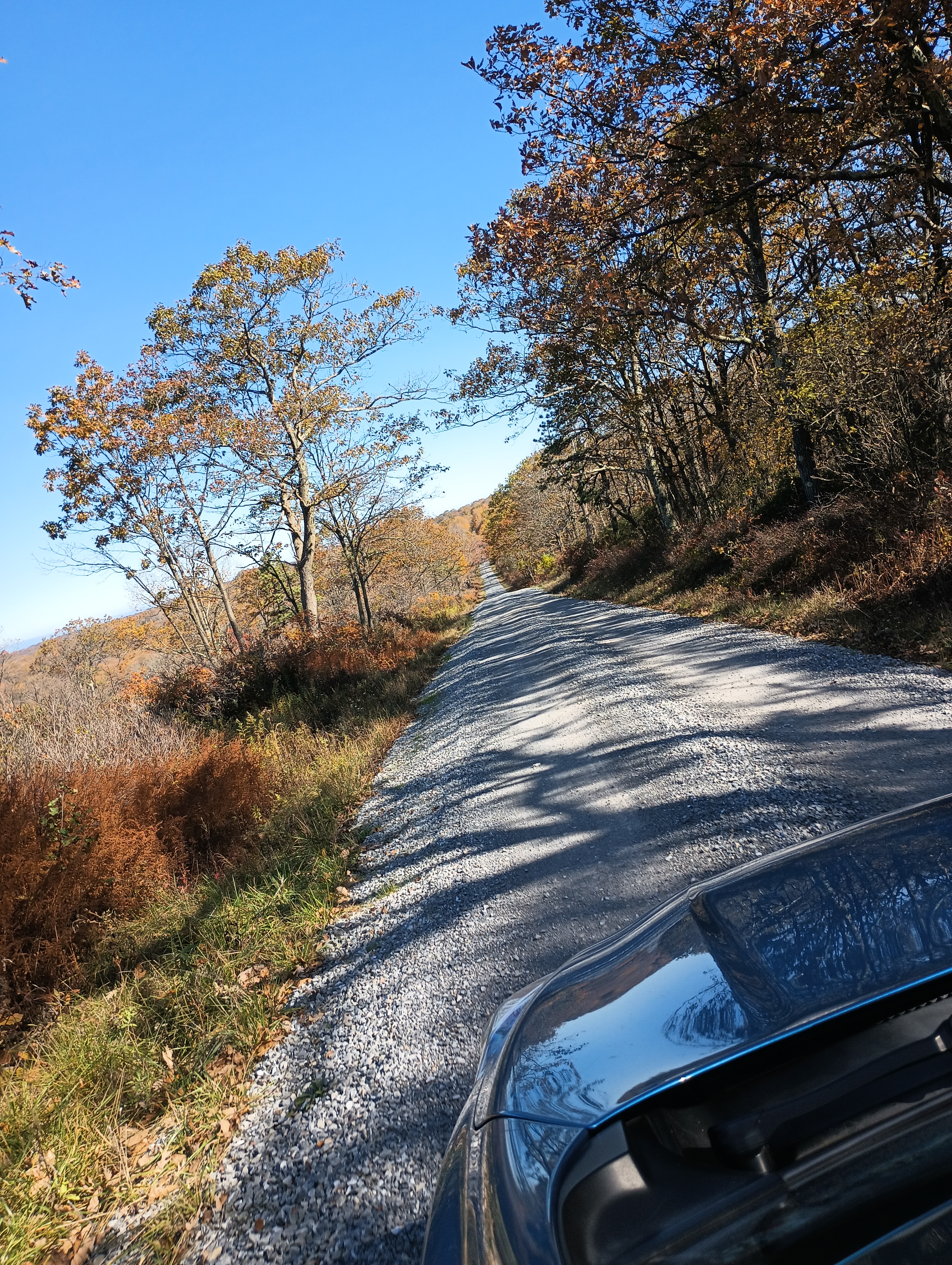
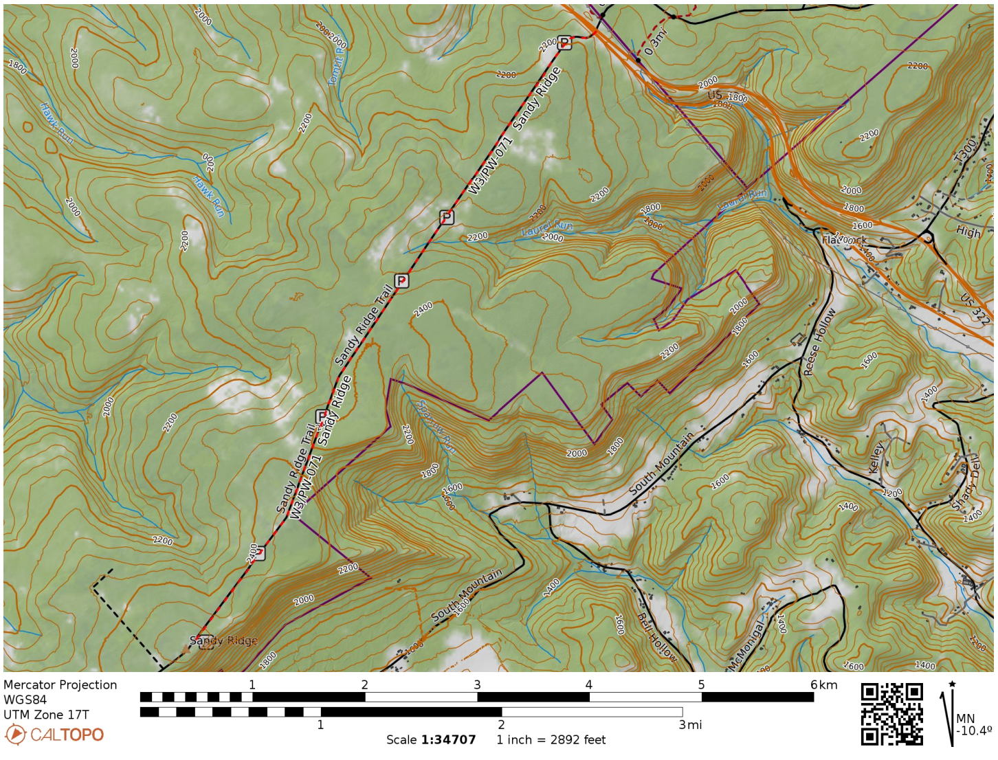
For the second half of fall break, I took a drive to State College to peep at leaves and do some more SOTA. I stopped by Sandy Ridge in State Game Lands 33 in Centre County, driving south along Sandy Ridge Trail road from US-322. After 4 miles of easy gravel road driving, I was in the activation zone.
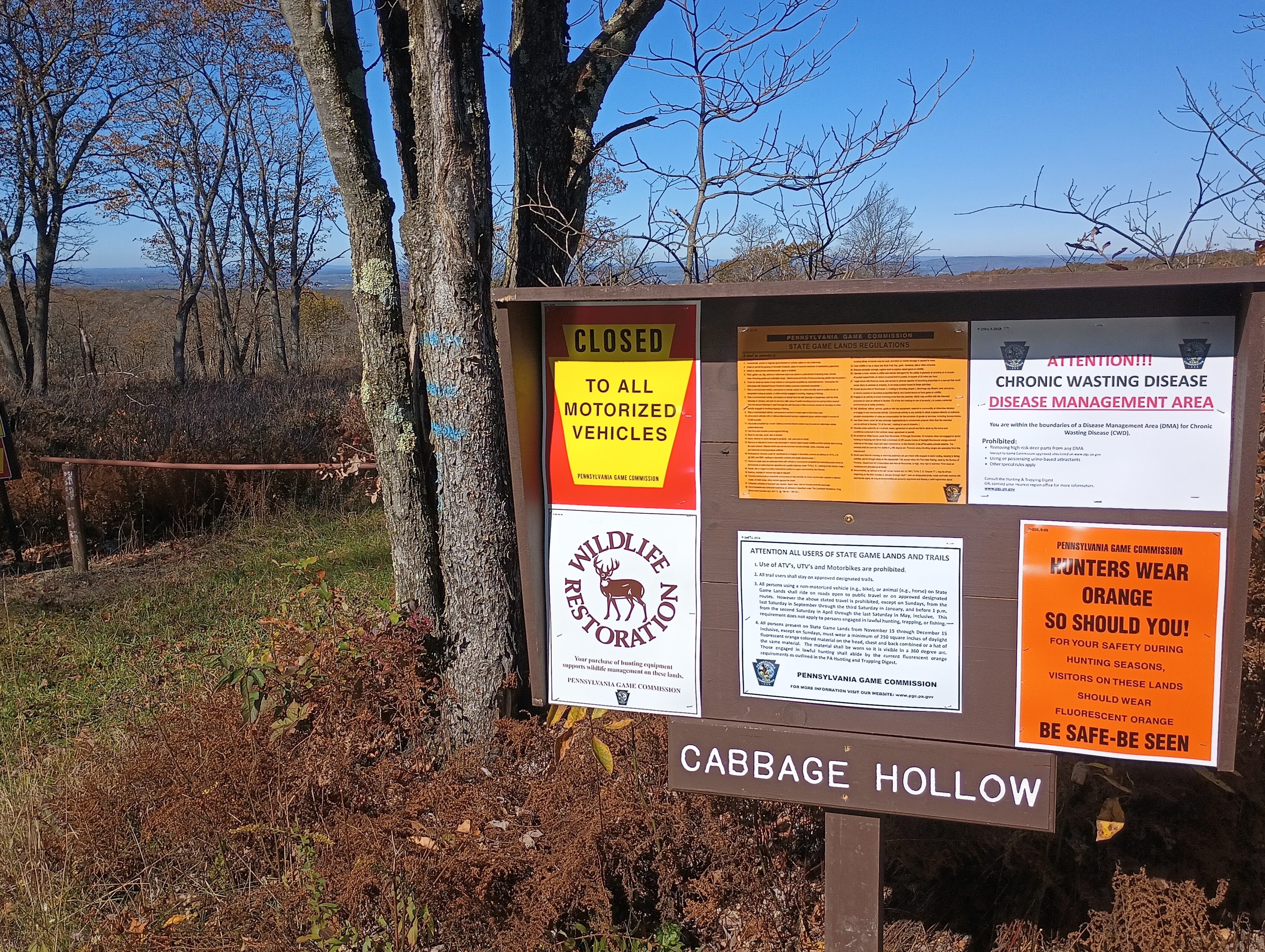
Entrance to Sandy Ridge Trail from US-322.Hunters wear orange — so should you! Many trails go deeper into the game lands from Sandy Ridge Trail.The road was straight and easy to drive on, though a bit narrow for when I had to pass a few trucks.
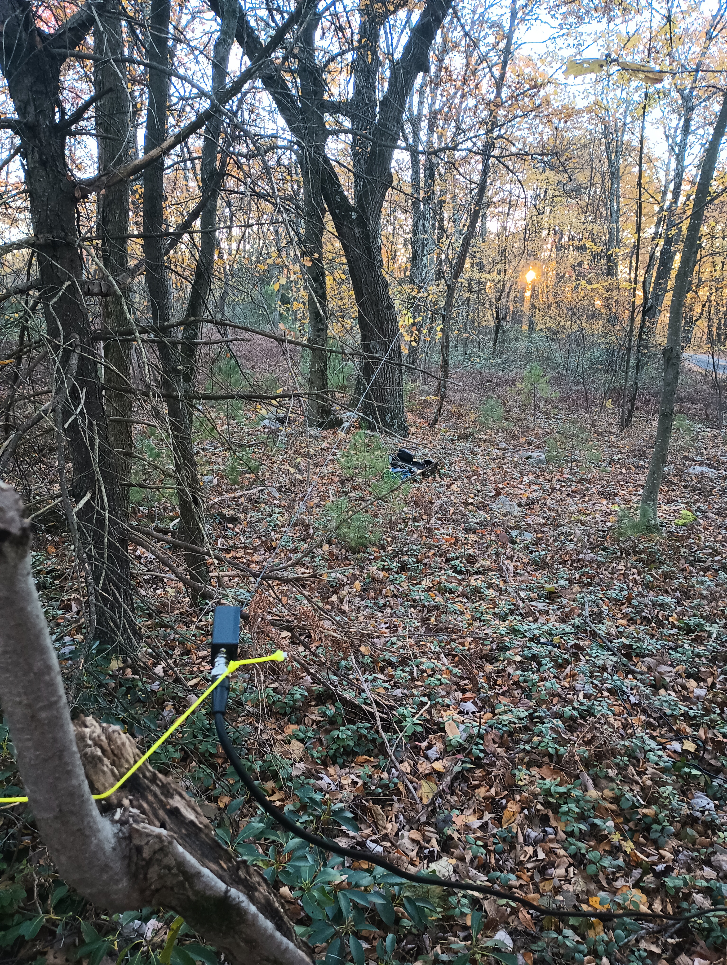
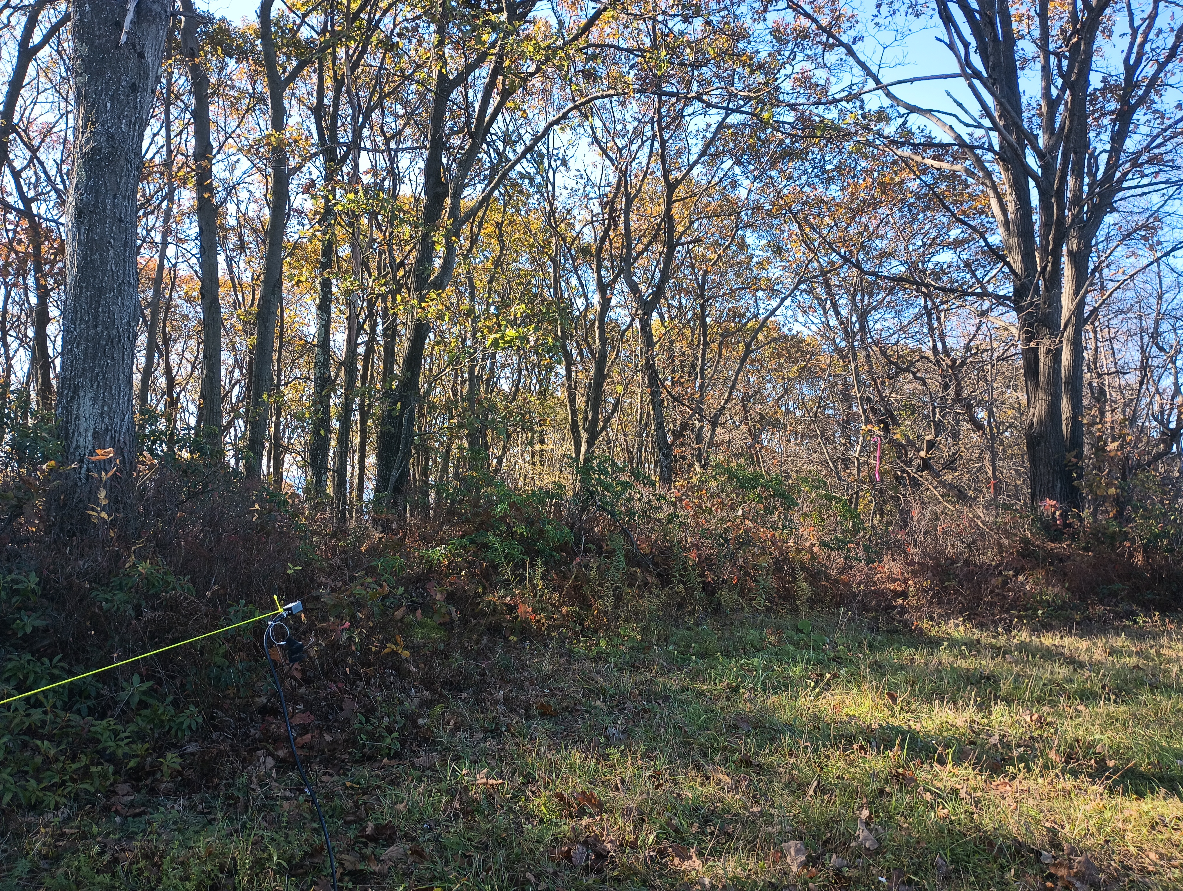
I had never worked from a game land before, so I wasn’t sure what to expect. Since it was early October, it wasn’t yet rifle hunting season. I still wore blaze orange and did my best to not appear grouse-like (honestly, good policy most of the year). I used a throw line to get my end fed up into a nearby tree in the parking area.
Operating location in the parking area.
The sunspots pulled me into a fugue-like state and I operated for one hour, notching 53 QSOs. Ten meters was crazy. I got a bunch of DX: G4OOE/P on Bishop Wilton Wold (G/TW-004), DL2DXA, DL1HBT, IK4IDF, SQ9IDE, DL1FU, DL1AX, SM0GJN, SP9FMP, OK1KT, EA2BD, CT1HIX, MW0IDX, EA4R, and SV2OXS. Incredible!
Trailhead: 40.841634, -78.132874 : Sandy Ridge Trail and US-322
Map: [AA3TZ SOTA] – Driving track along Sandy Ridge Trail
Route: Drive-on via 4-mile gravel road, good condition
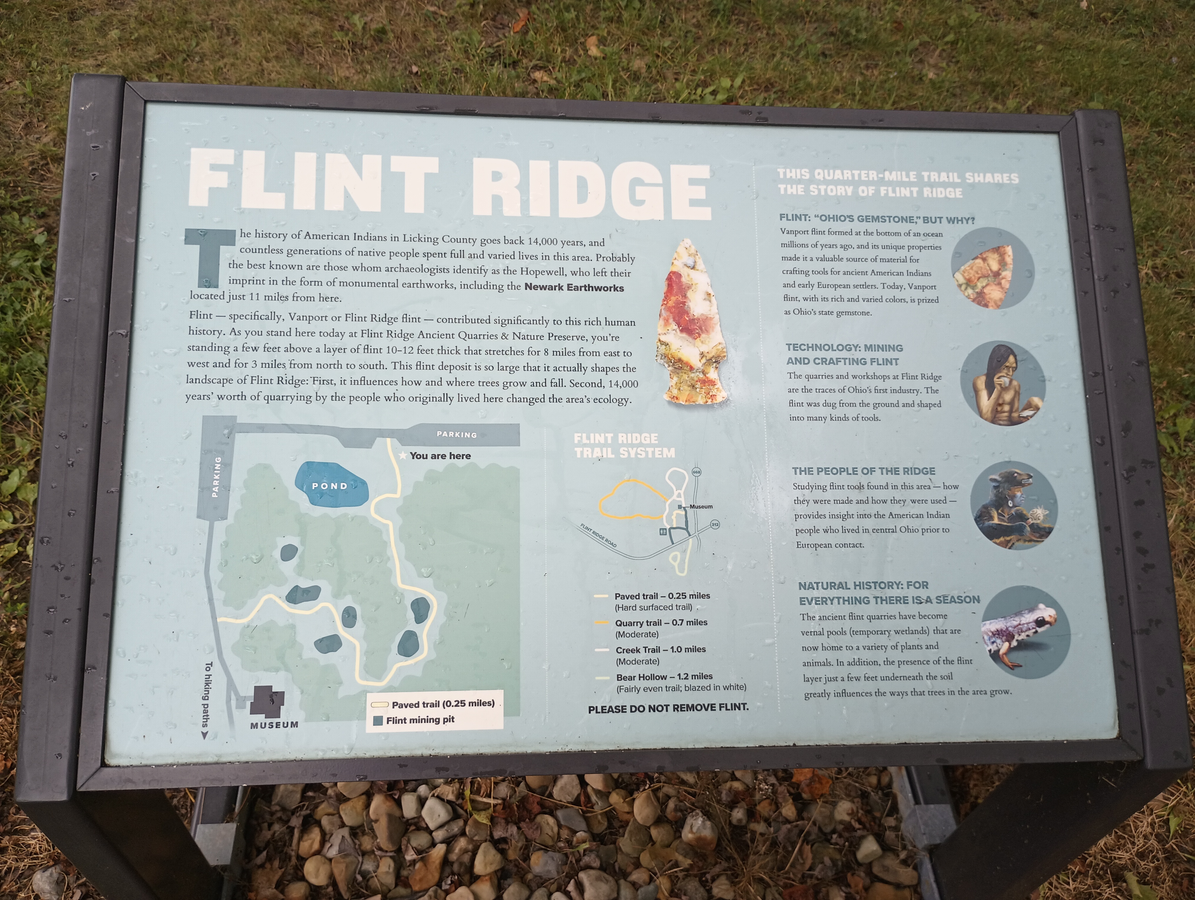
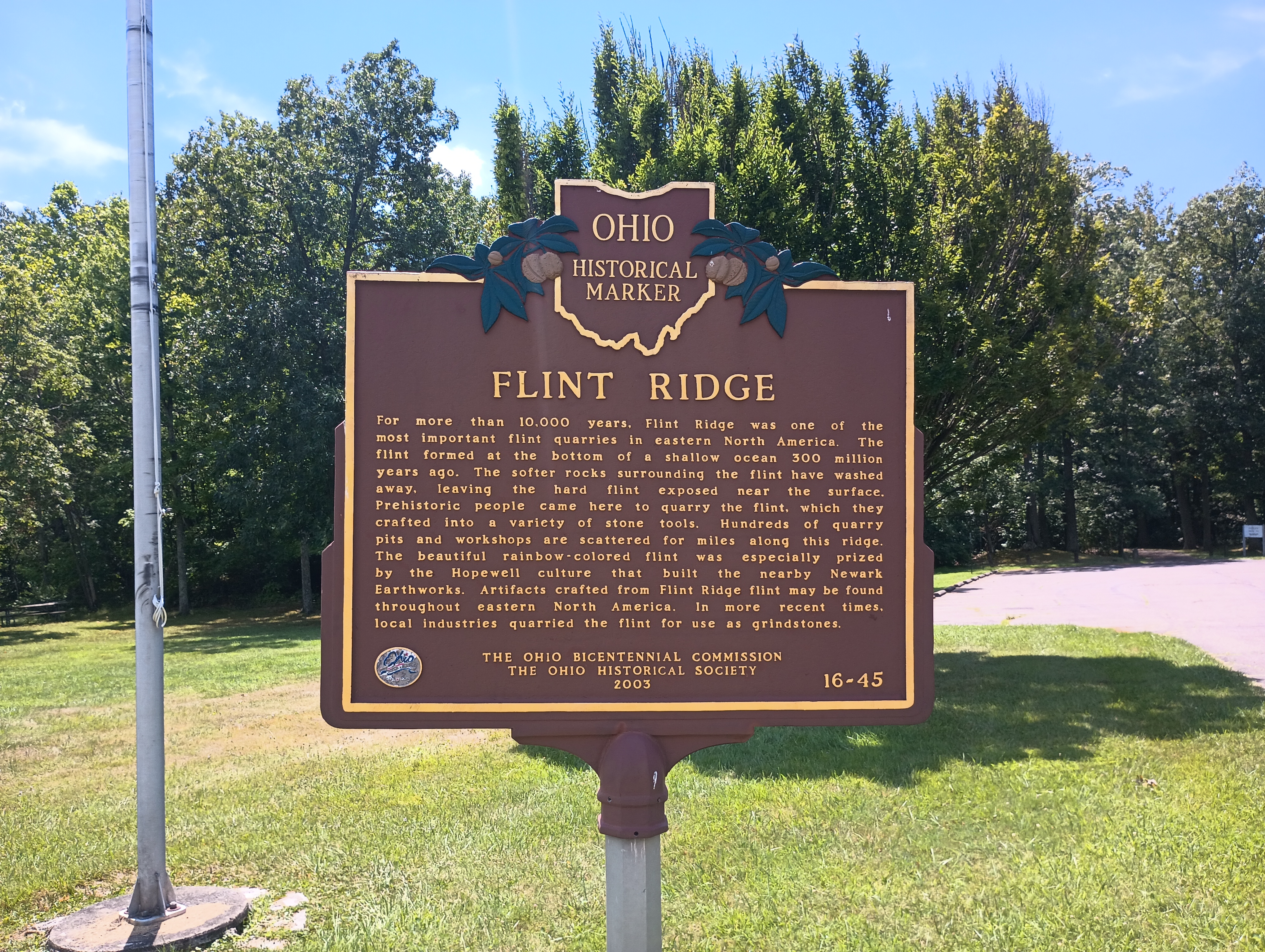
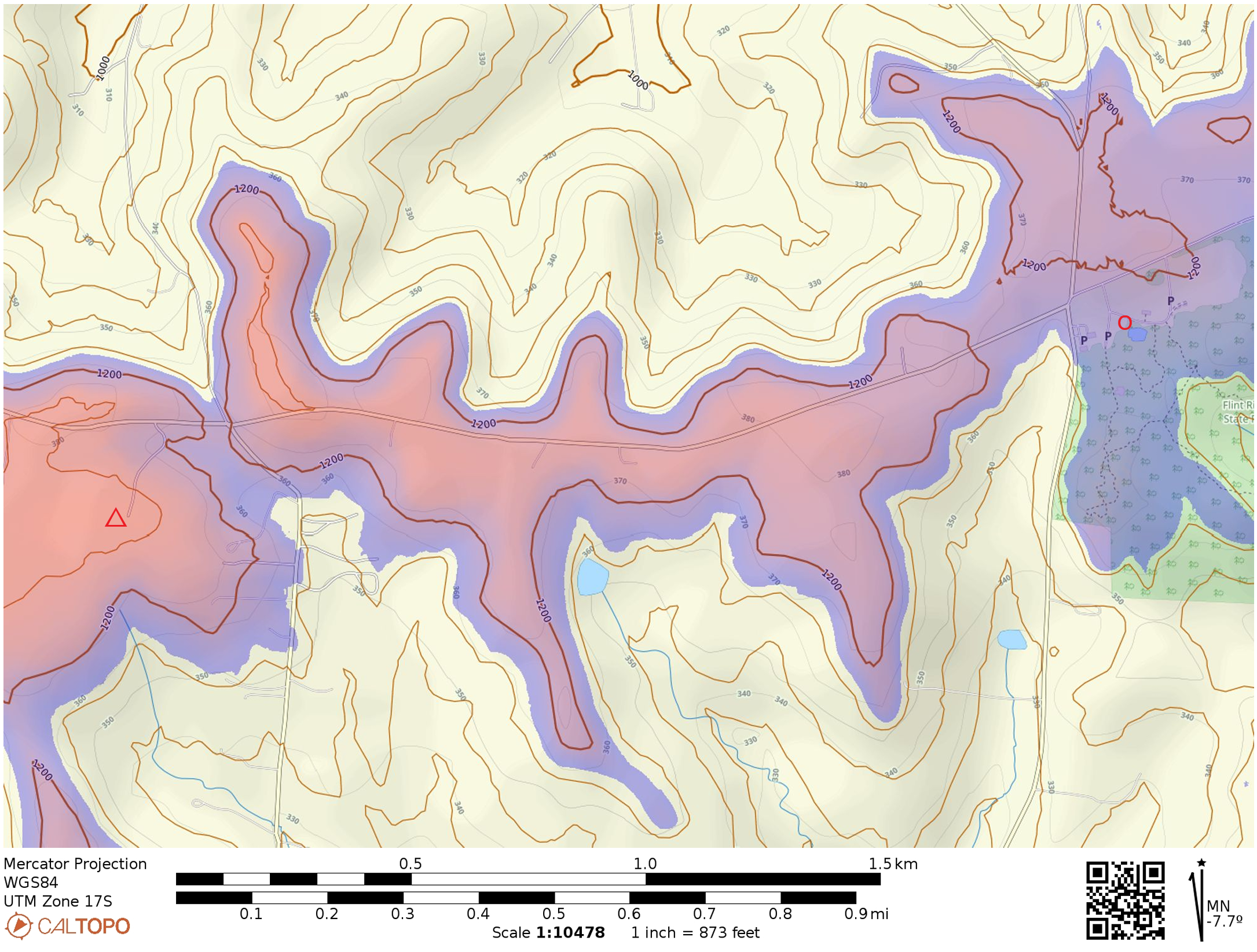
This was a quick one on a drive from Cincinnati to Pittsburgh. As reported by others, Flint Ridge Memorial State Park is a short detour north of I-70, taking less than 10 minutes to get to the park from the highway. The picnic area by the parking lot is within the activation zone, so this feels a bit more like a POTA activation since there is no hike to a summit. The actual peak is about a mile west of the park, evidently in somebody’s backyard. The titular Flint Ridge is an 8-mile-long vein of flint that was quarried by the Hopewell people in ancient times.
The activation zone is wide and encompasses the entrance of Flint Ridge State Park (right-side of image). The triangle marks the approximate location of the high point, and the 80 foot region beneath the activation zone is shaded. I operated at a spot in the park marked by a circle.
The highlight of this activation was working sideband summit-to-summit contacts with Martha W0ERI and Gary W0MNA on W0D/BB-089 in South Dakota. They’ve chased me on many of my activations, so it was neat to get them in my chaser log as well!
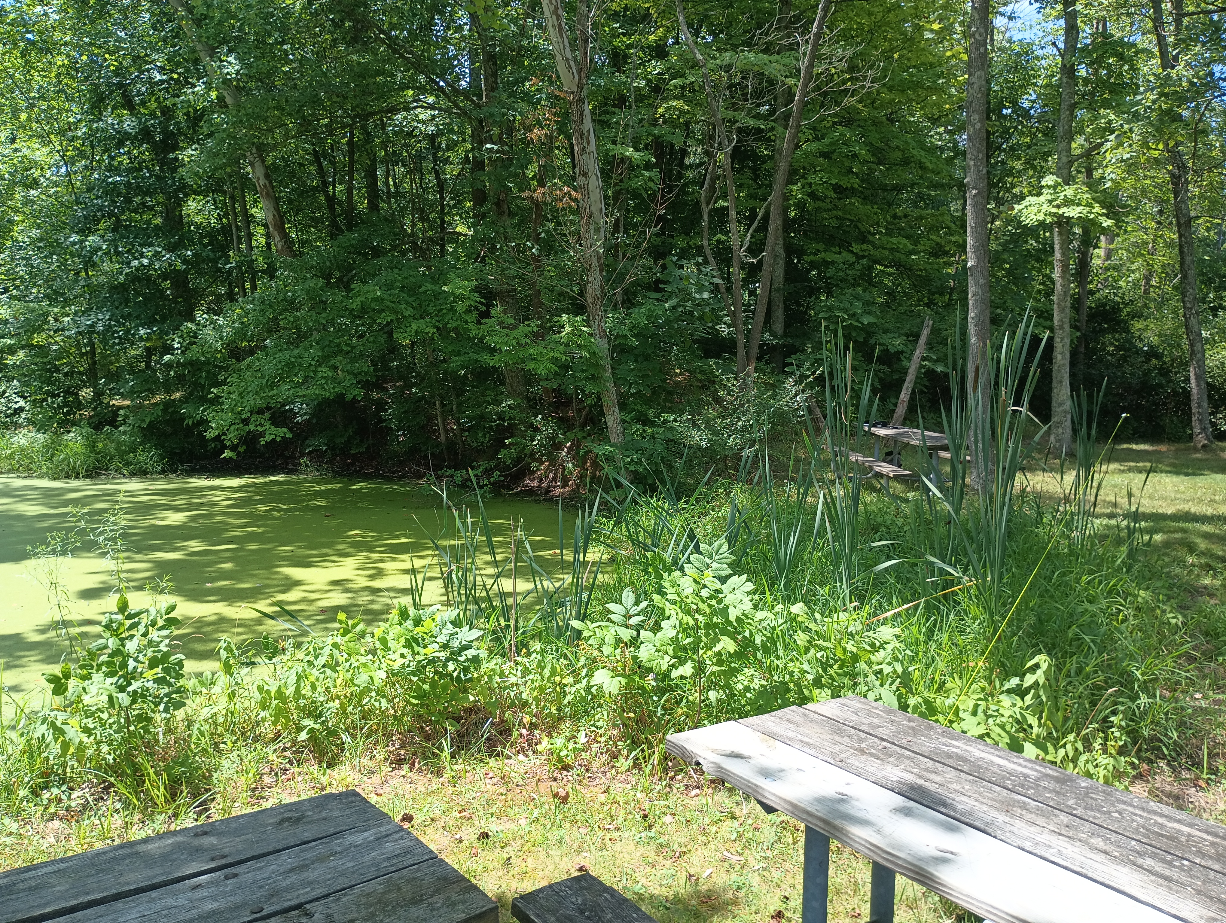
There is a museum about the ancient flint quarry at this site, but it was closed since I was there on a Monday. I just set up at a park bench next to the lake and operated. Seems like there would be more to check out on a longer visit in the future. This also feels like it has the potential to become a state park (i.e. a POTA park), but is not yet one. It’s also close to the Newark Earthworks, which I will definitely visit on my next pass through!
Trailhead/Parking: 39.988759, -82.261710 : Flint Ridge State Park lot; 15300 Flint Ridge Road, Glenford, OH, USA
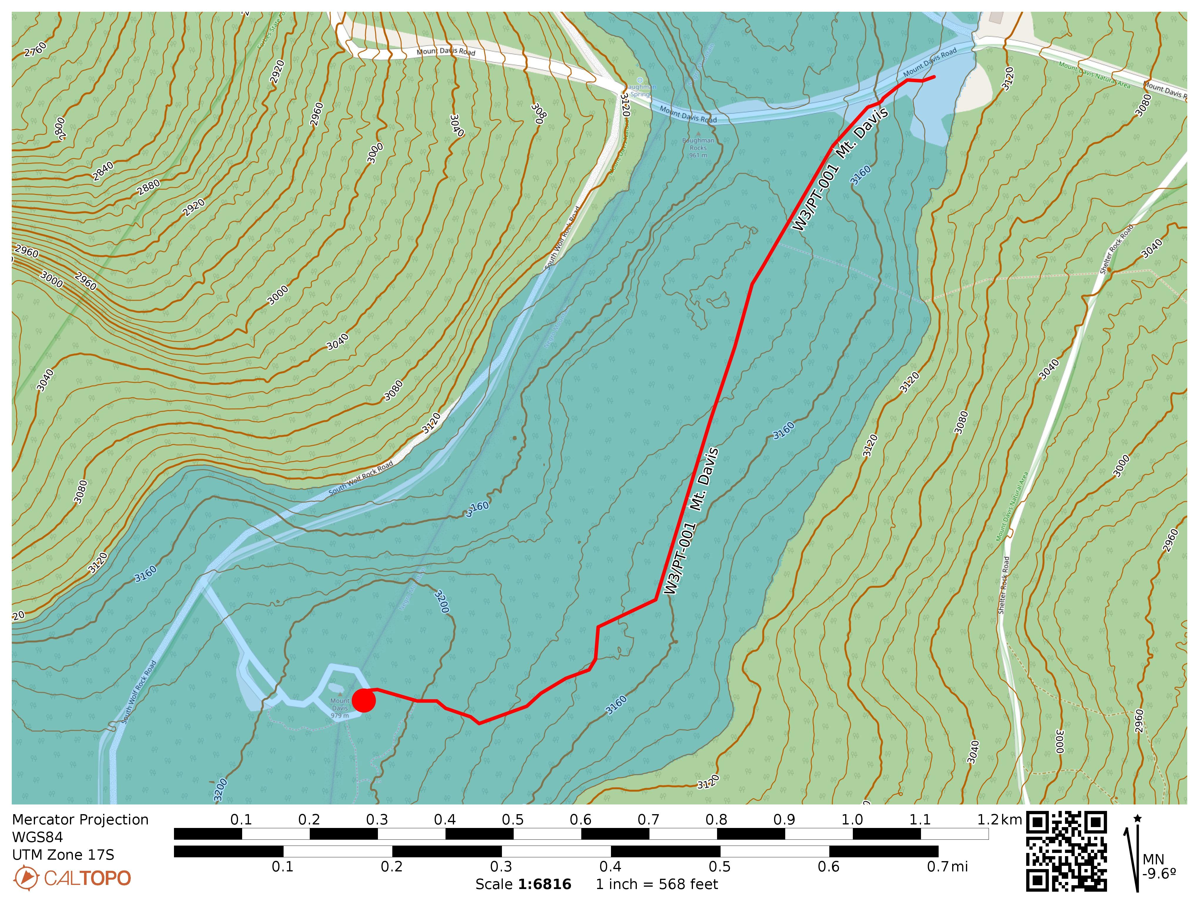
I had some time to drive up to Mt Davis on July 3 to see Pennsylvania’s high point at 3213 feet. This is the most activated SOTA peak in the W3 area, with my activation making it 125 to date. The summit is surrounded by the Mt Davis State Conservation Area (US-0625) which is also part of the Forbes State Forest (US-5468), making this a double-POTA activation.
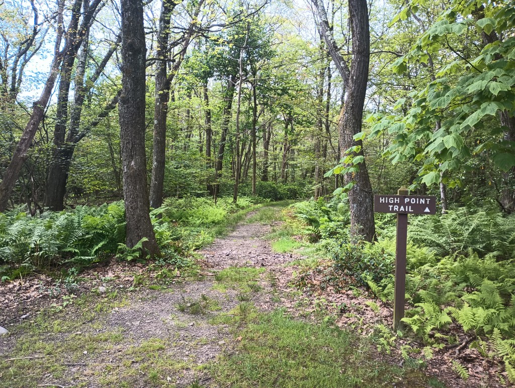
While it’s possible to drive to within 300 feet of the peak, I opted to park at the High Point Picnic Area for a mile-long hike to the observation tower along the High Point Trail. This mostly-flat trail is part of a greater ~5 mile loop that tours this chunk of Forbes State Forest. I might try that loop next time.
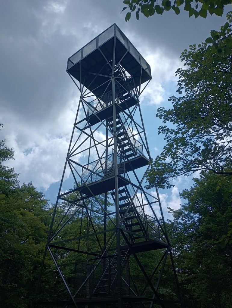
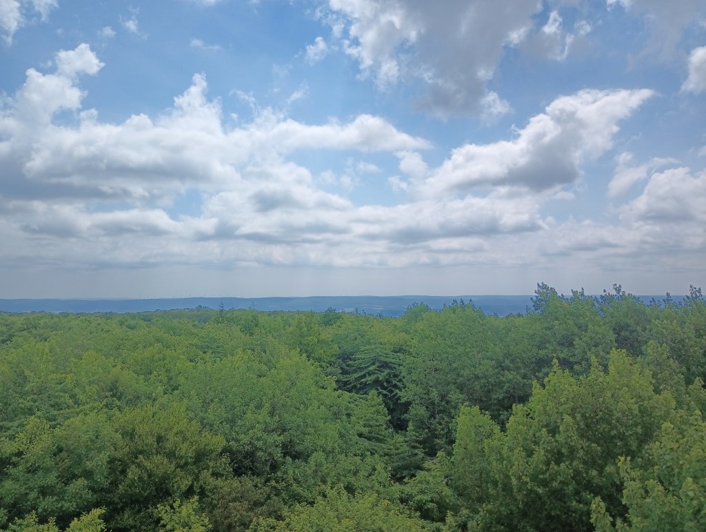
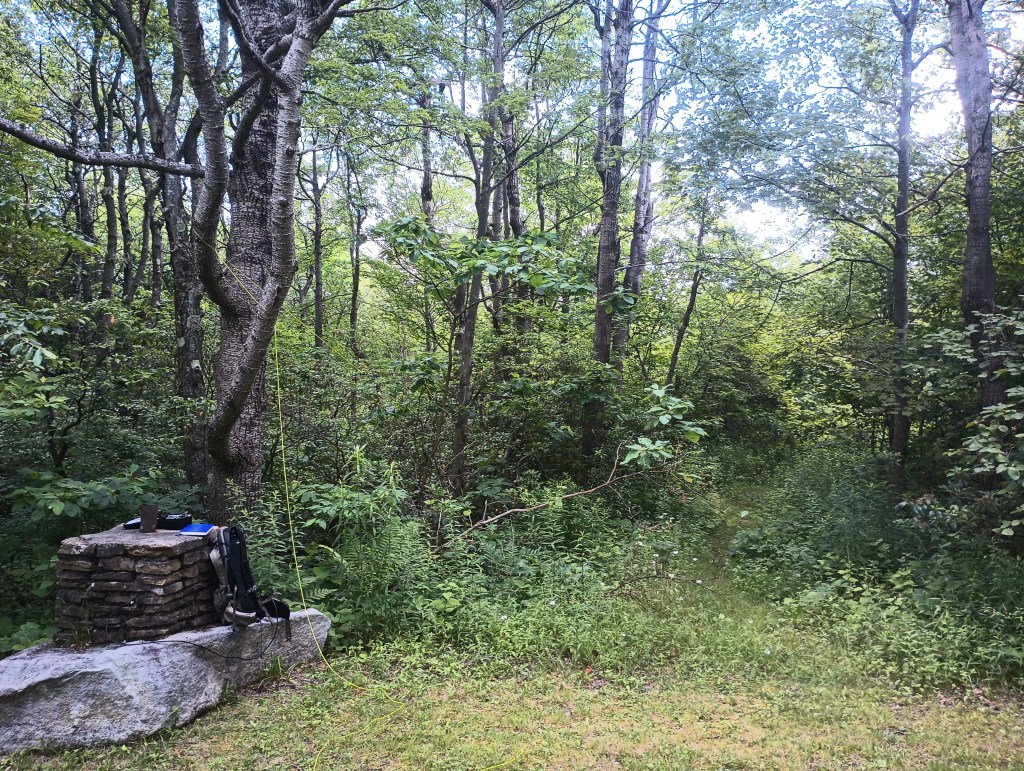
I took the stairs up the observation tower and had a look around. Despite being the high point, Mt Davis is not particularly prominent, so the observation platform lets you see other ridges around the area. Once I was satisfied, set up near the paved loop by a stone pillar that was once a signpost. A disused trail spur entered the forest for about 40 feet or so, which was a perfect place to string up the end-fed. An easy way to earn 10 SOTA points!
Trailhead: 39.79417, -79.16653 : Northwest end of the Mt Davis Picnic Area.
Route: 2.0 mi round trip, following the High Point Trail
POTA: Mt Davis State Conservation Area (US-0625); Forbes State Forest (US-5468)
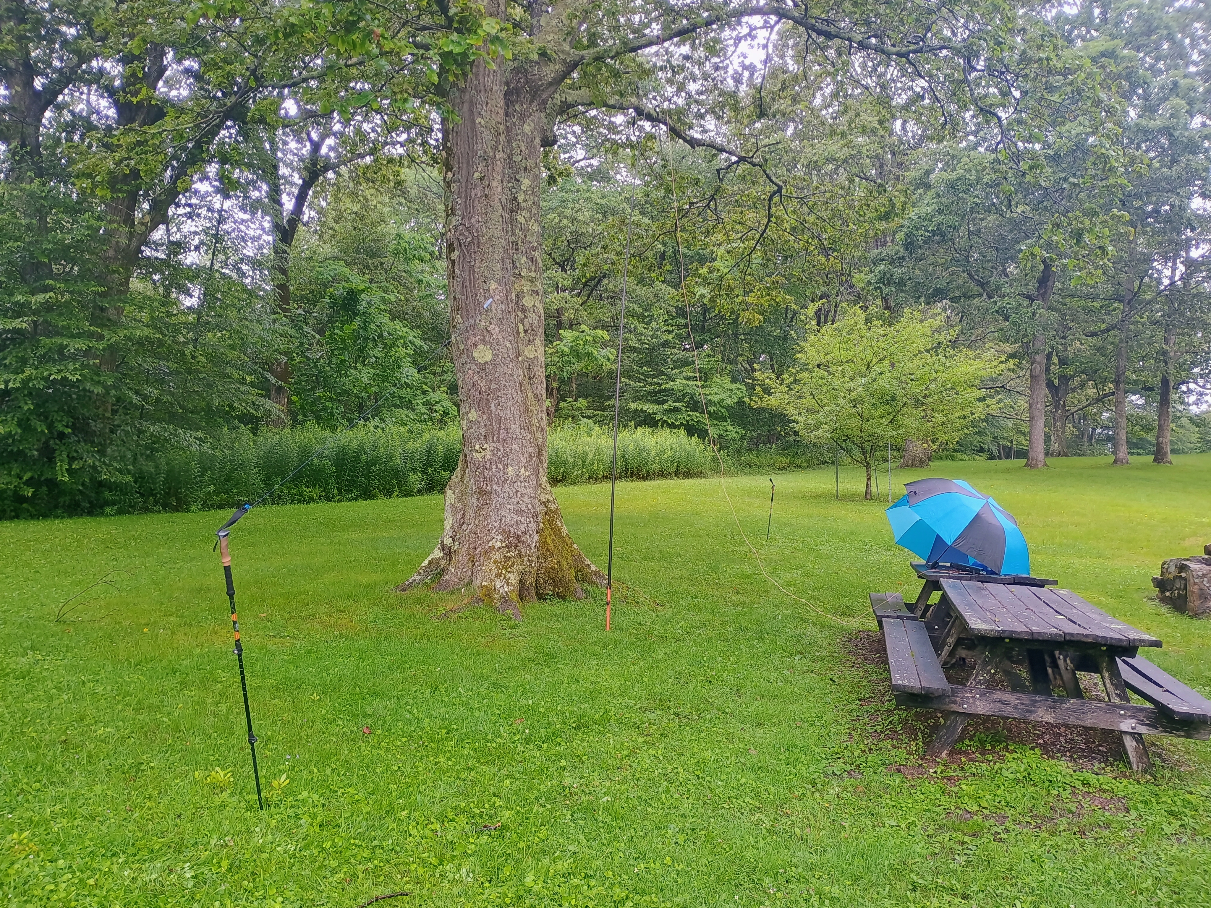
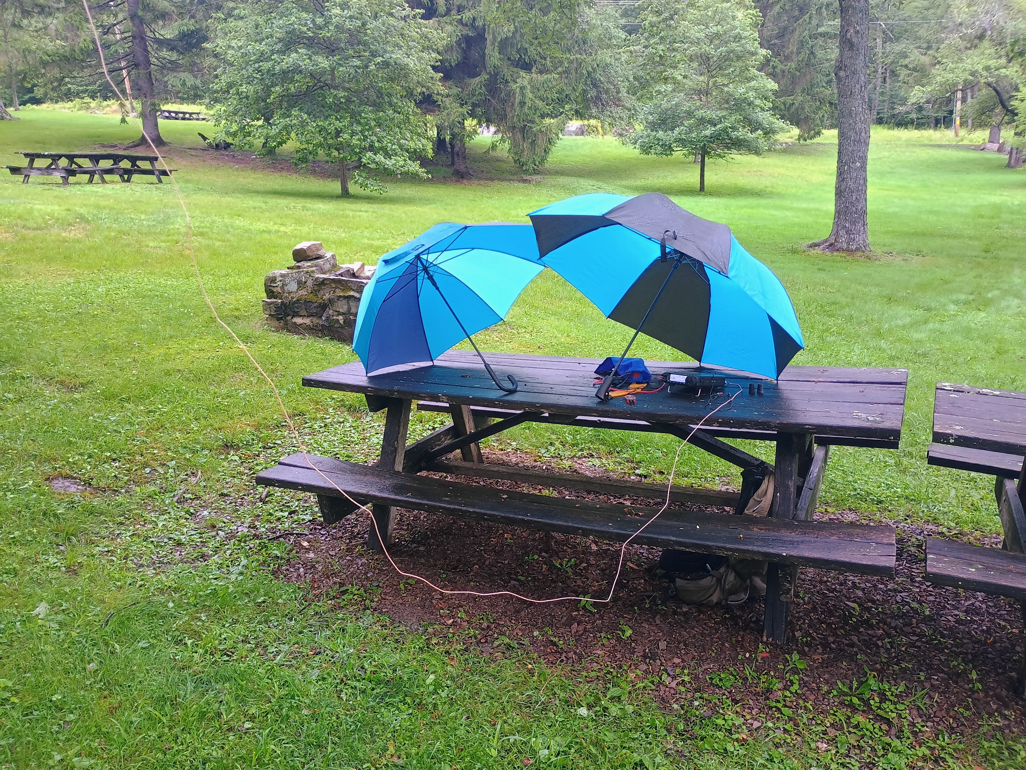
Update18 July 2025: This is a broad activation zone, as is typical for PA. The westernmost couple of benches in the Mt Davis Picnic Area are within the AZ! You can do this one POTA-style. I added this activation after completing Boardman Ridge, using the easy location as an opportunity to try my FT891 in the field; QRO for the first time!
The QSOs came in fast, but the rain came faster. I had to pause in the middle to wait for a break in the rain, then racked up a few more before the rain picked up again and forced me to pack up. 32 QSOs total, pieced together from two short runs punctuated by precipitation.
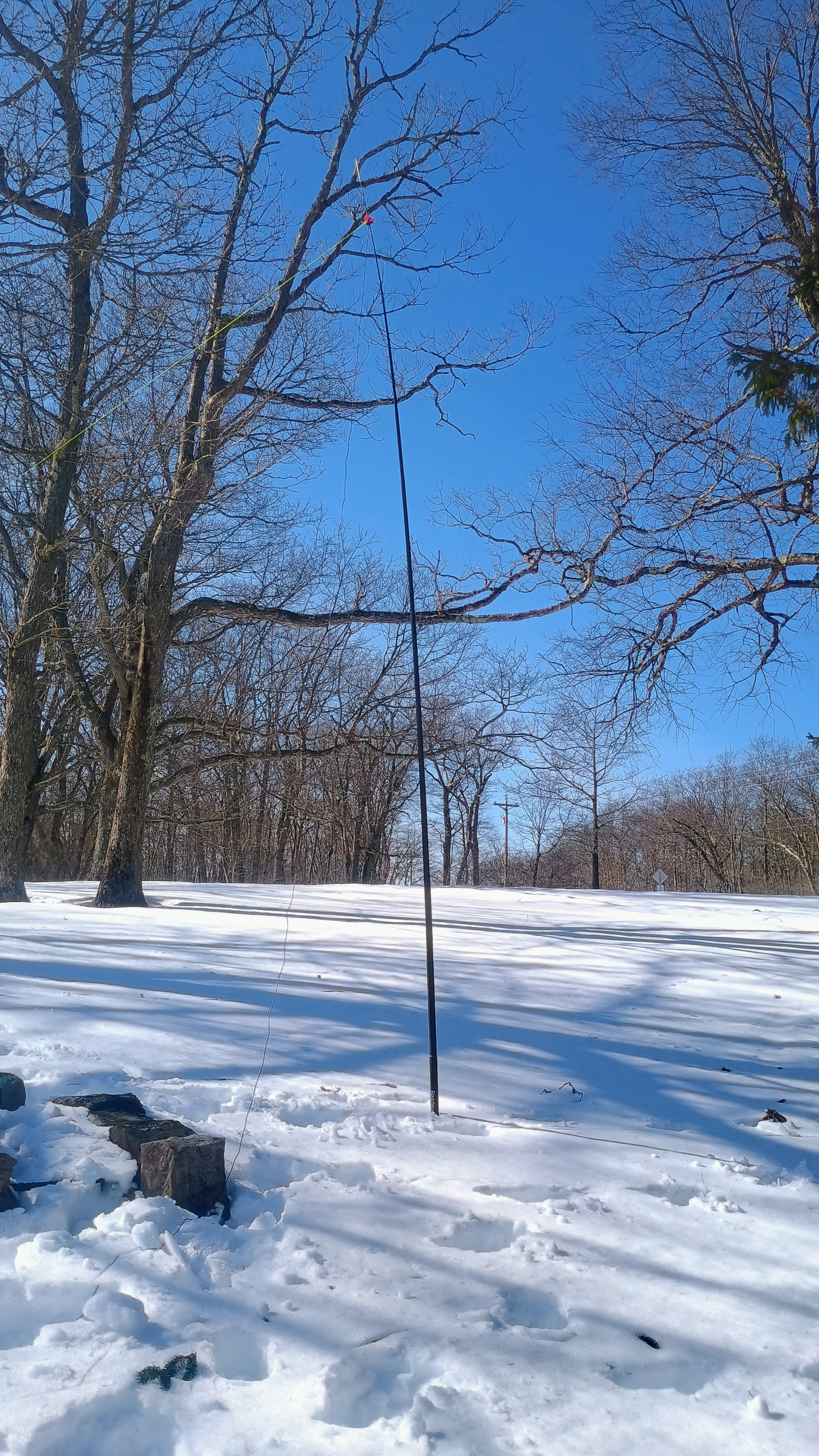
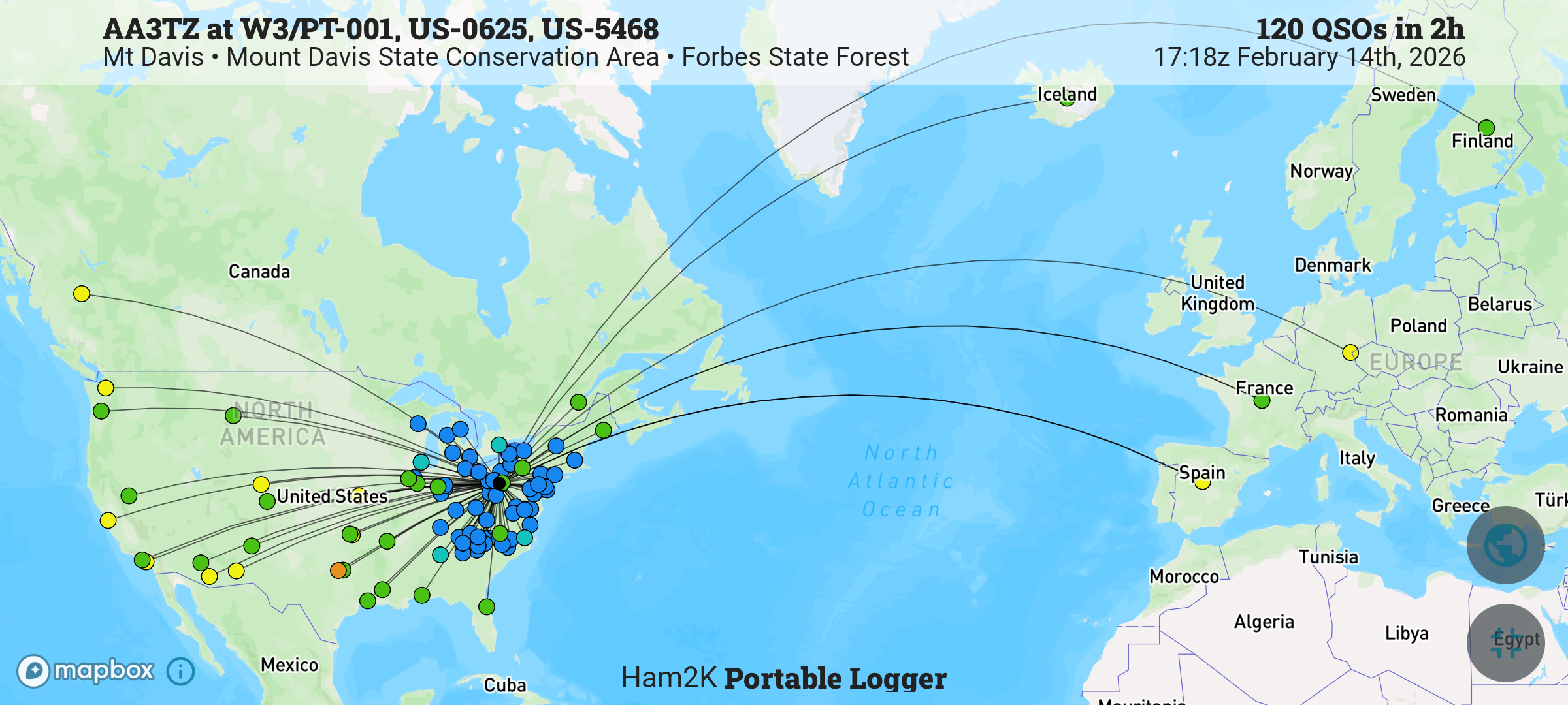
Update14 Feb 2026: The Mt Davis picnic area makes for a great spot to do a winter activation. Deep snow engulfing the tables, but little wind. A couple of snowshoers visiting from Maryland passed by to ask about my setup. This time, I was using the Sotabeams 20-30-40 linked dipole and FT891 for QRO fun, logging 120 QSOs! Fun DX included Finland OH1MM and Iceland TF3DC, both on 20m!



 Tom Zajdel