
Dan’s Rock is the high point of Allegany County in Maryland, at 2894 feet. It’s the peak of Dans Mountain, and a tremendously popular place to paint rocks. I went here to start a day of a couple of activations in the Cumberland, Maryland area. I was the only one here on a cold January morning.


I walked up the green scaffolding to get to the spectacular overlook. There was still snow on the rocks. I dusted the snow off a convenient bench at the top and wrapped my antenna tripod along the railing. The AX1 is truly a versatile antenna, and made it a snap to get set up! A couple did come up onto the observation platform for a few pictures, and then left quickly due to the cold winds.


The wind was harsh, but I stuck around for 17 QSOs, including DX on 20m: F4WBN and F6EAZ in France, and two S2S on 15m: AD5A on W5A/MA-001 Magazine Mountain and N7CW on W7A/CS-038 Beacon Hill.
I had considered trying to make this a combined SOTA/POTA activation by staying in Dans Mountain Wildlife Management Area (US-7767) on the way up, but I just couldn’t pass up the opportunity to operate from the top of the rock. Maybe next time!
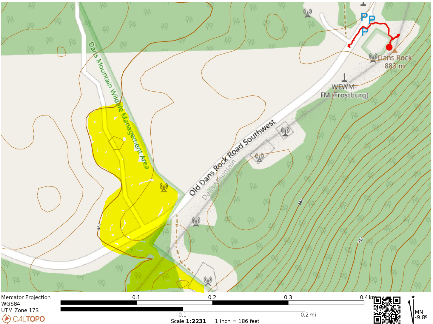
- Trailhead: 39.58171, -78.89811 : Parking pad by radio towers
- Map: [AA3TZ SOTA] [Dan’s Mountain Wildlife Management Area Map]
- Route: A couple minutes walking up stairs. The parking spot is already in the activation zone.
- POTA: Old Dans Rock Road SW passes through Dans Mountain Wildlife Management Area (US-7767). The boundary of the park appears to be within the AZ, but you’d have to pick your operating point carefully.
One thought on “W3/WE-002 Dans Rock”