W3/PD-003 Rising Mtn

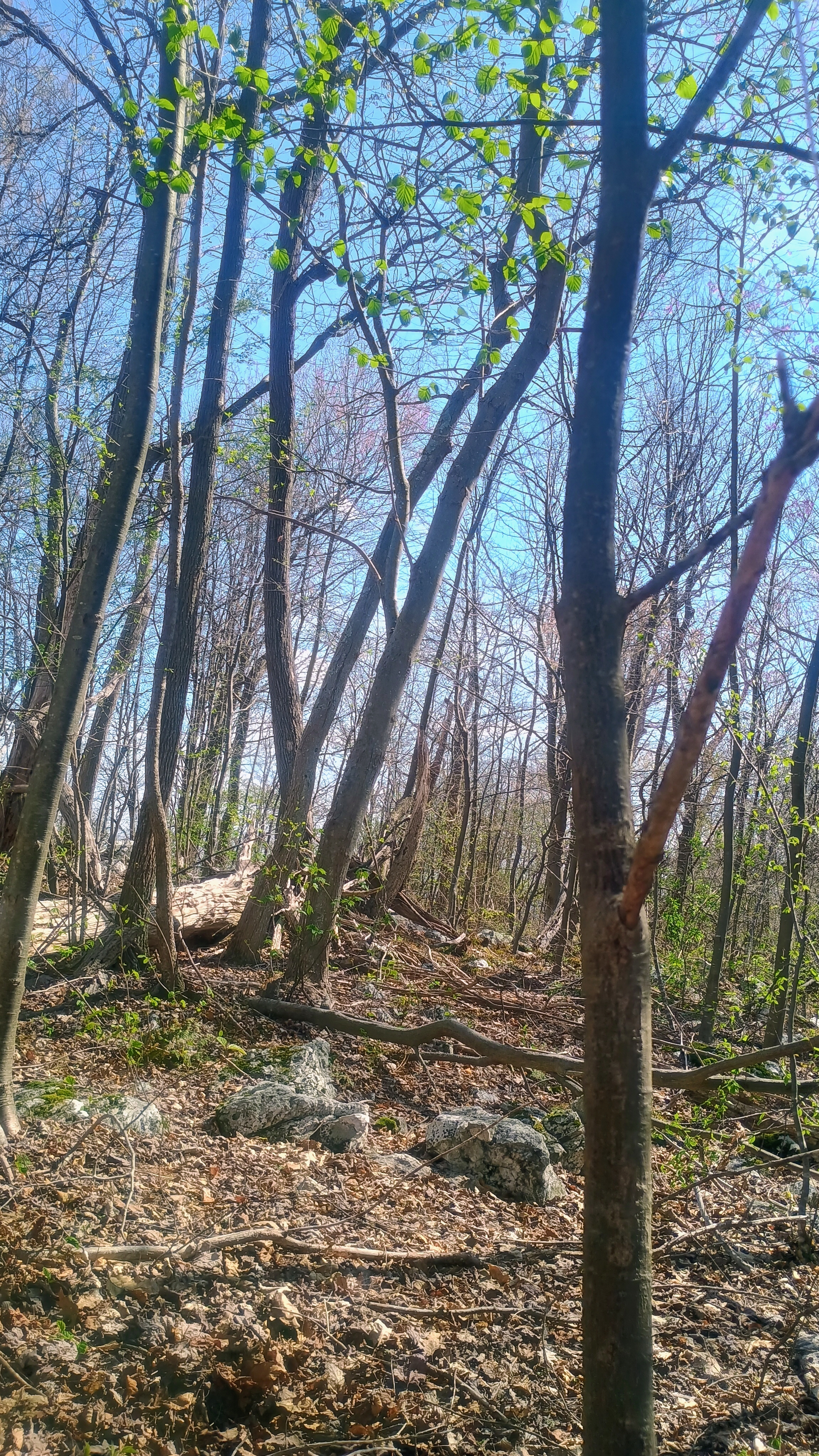
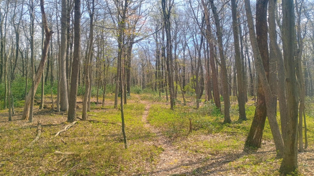
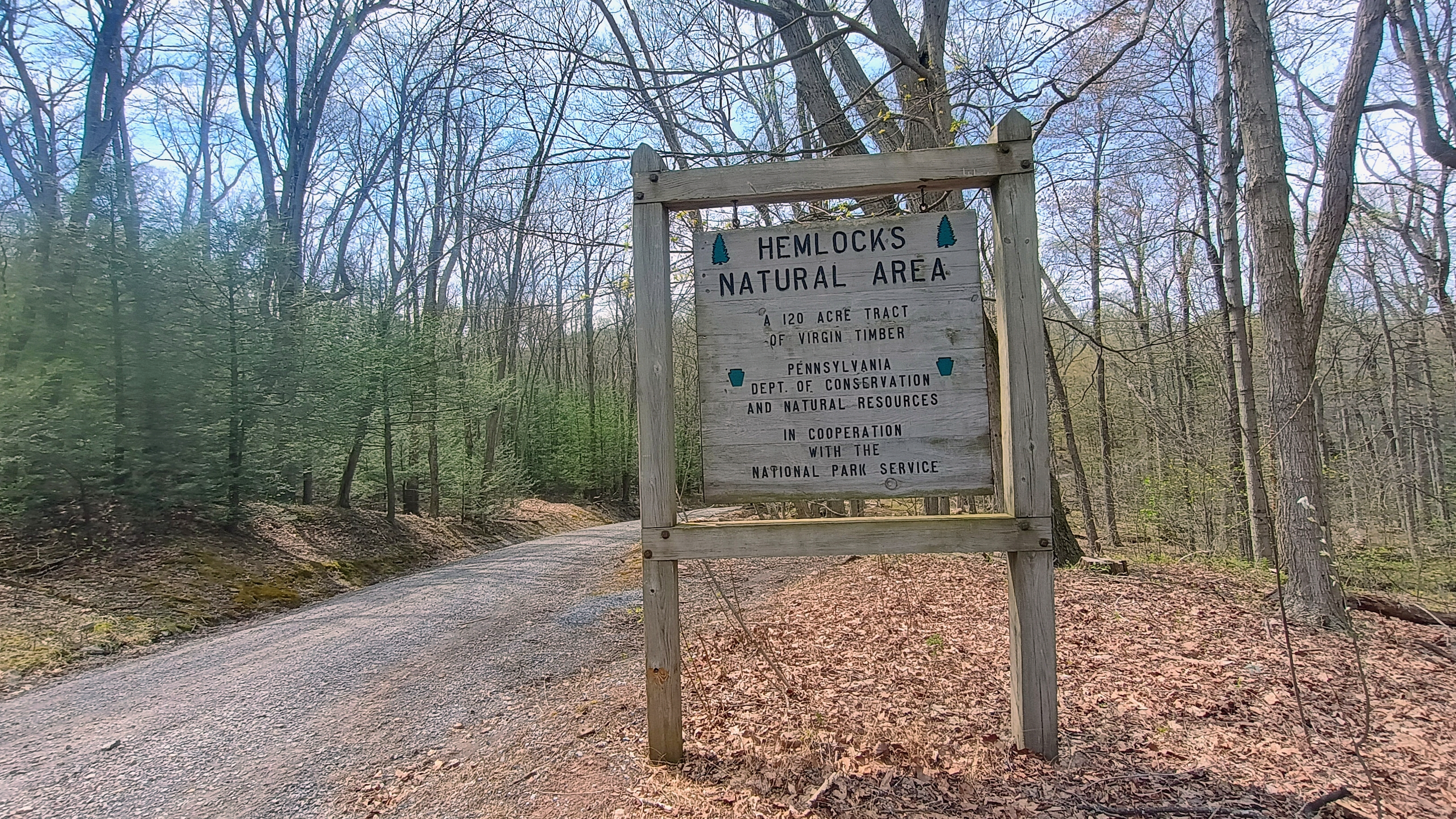
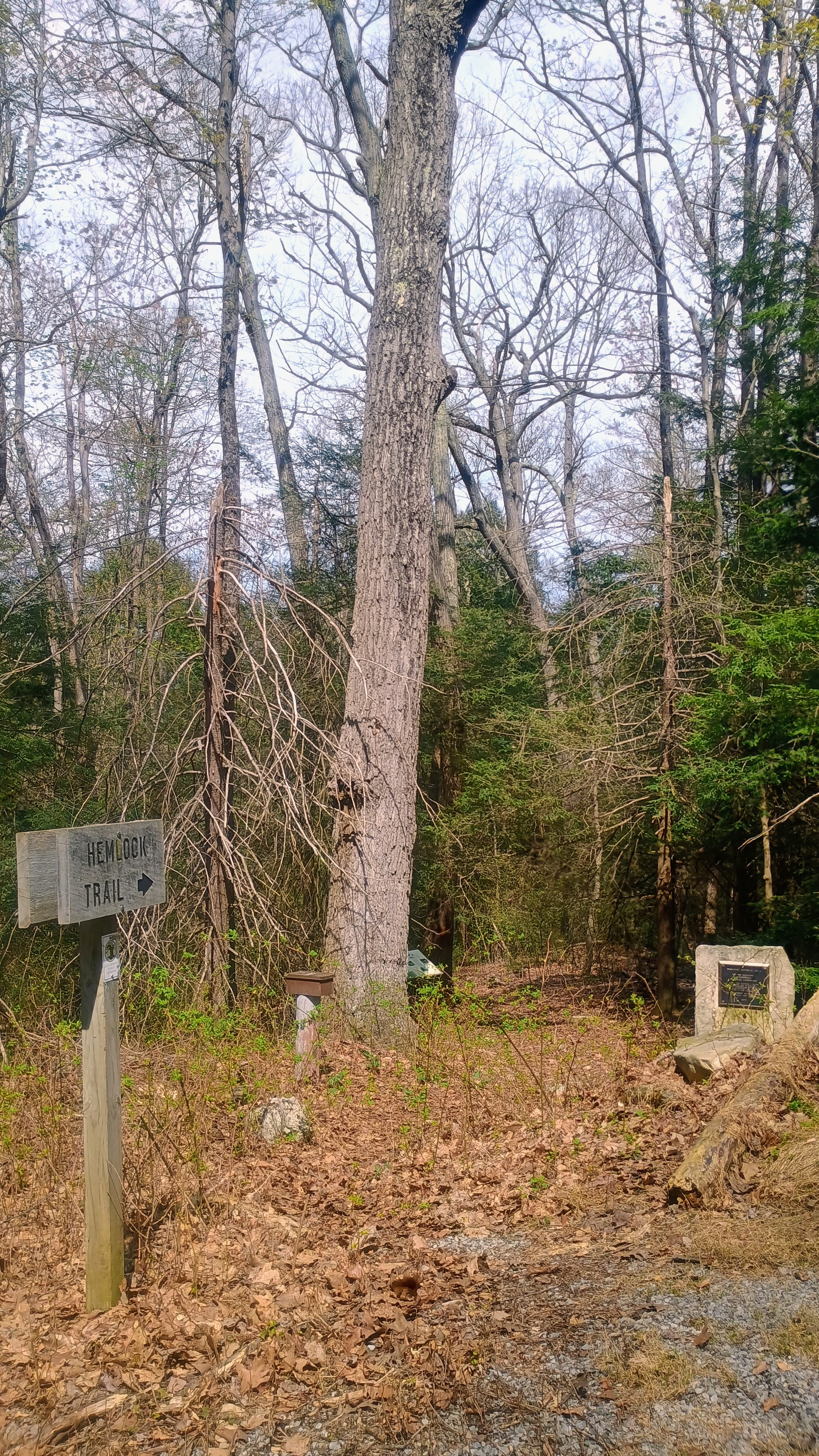
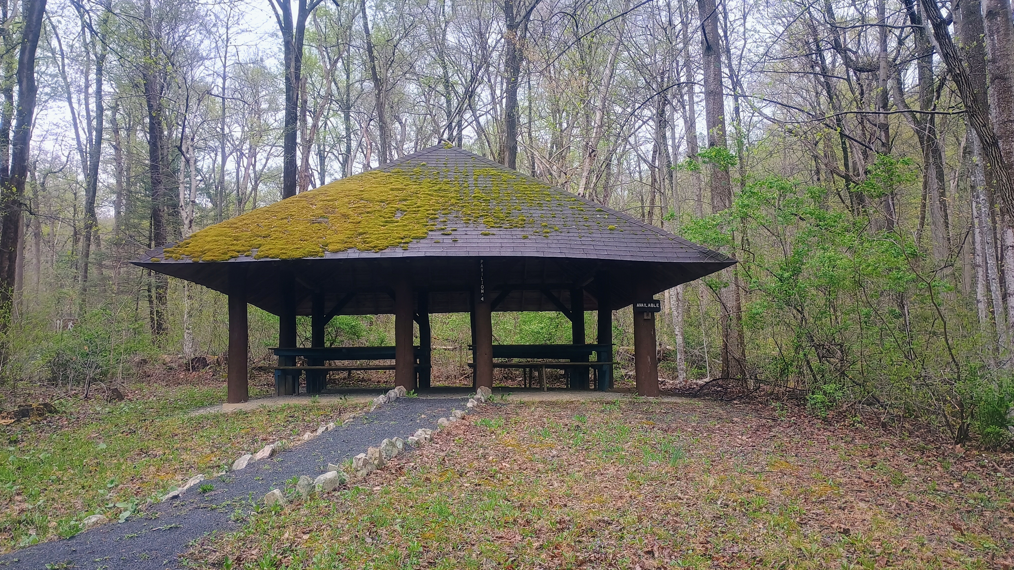
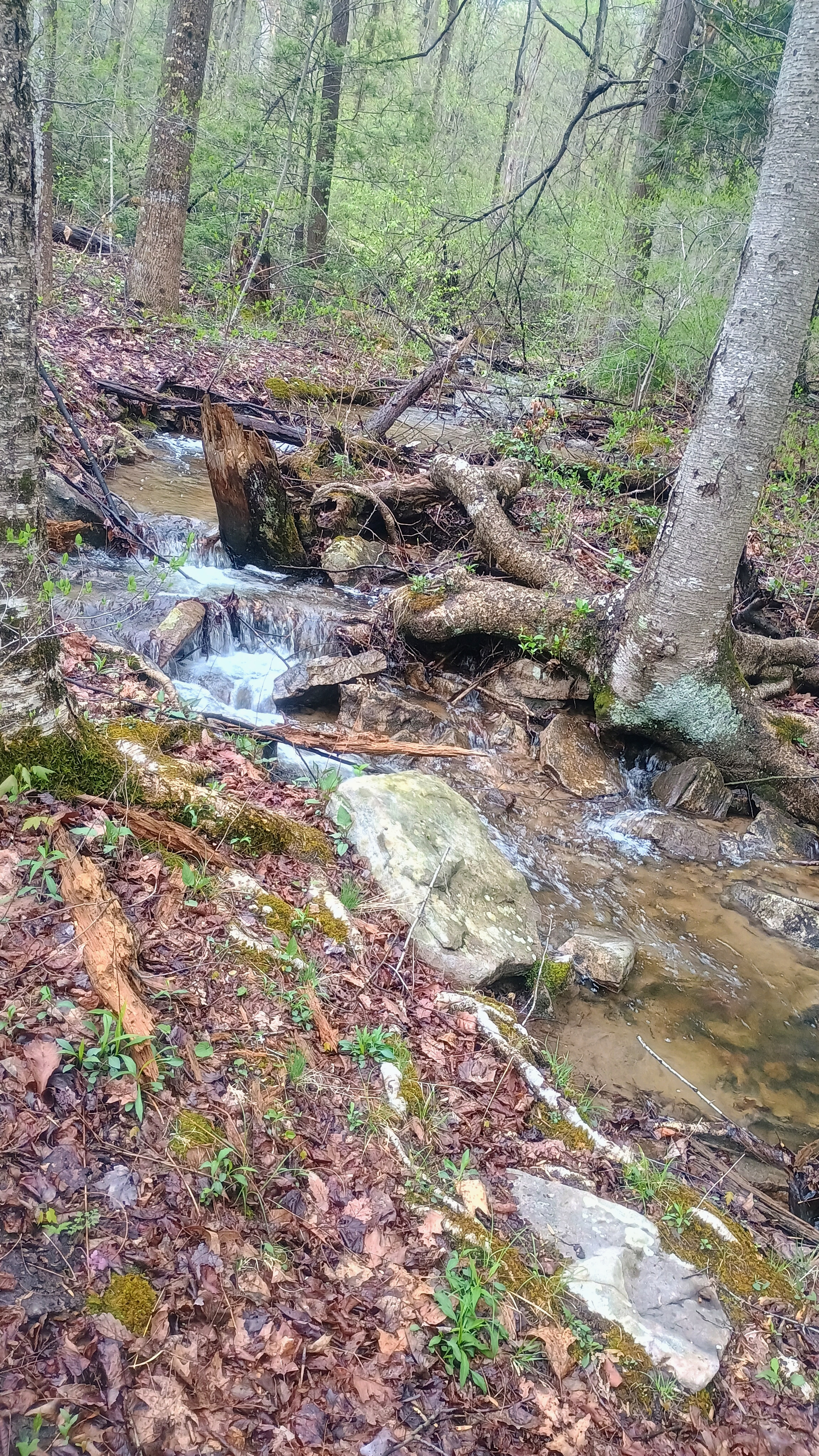
After my activation at Blue Mtn, I drove north through Tuscarora State Forest, past Fowlers Hollow SP, to Hemlocks Natural Area, an area that KC3TVC reports as “excellent wilderness.” I agree! This is one of the more scenic SOTA hikes I’ve done in a while. I walked north along the Hemlock Trail into the 120-acre old hemlock forest for a bit to take in the large trees, and then returned to the parking area to start the hike south on Bear Ponds Trail towards Rising Mountain, which lies on the Tuscarora Trail.
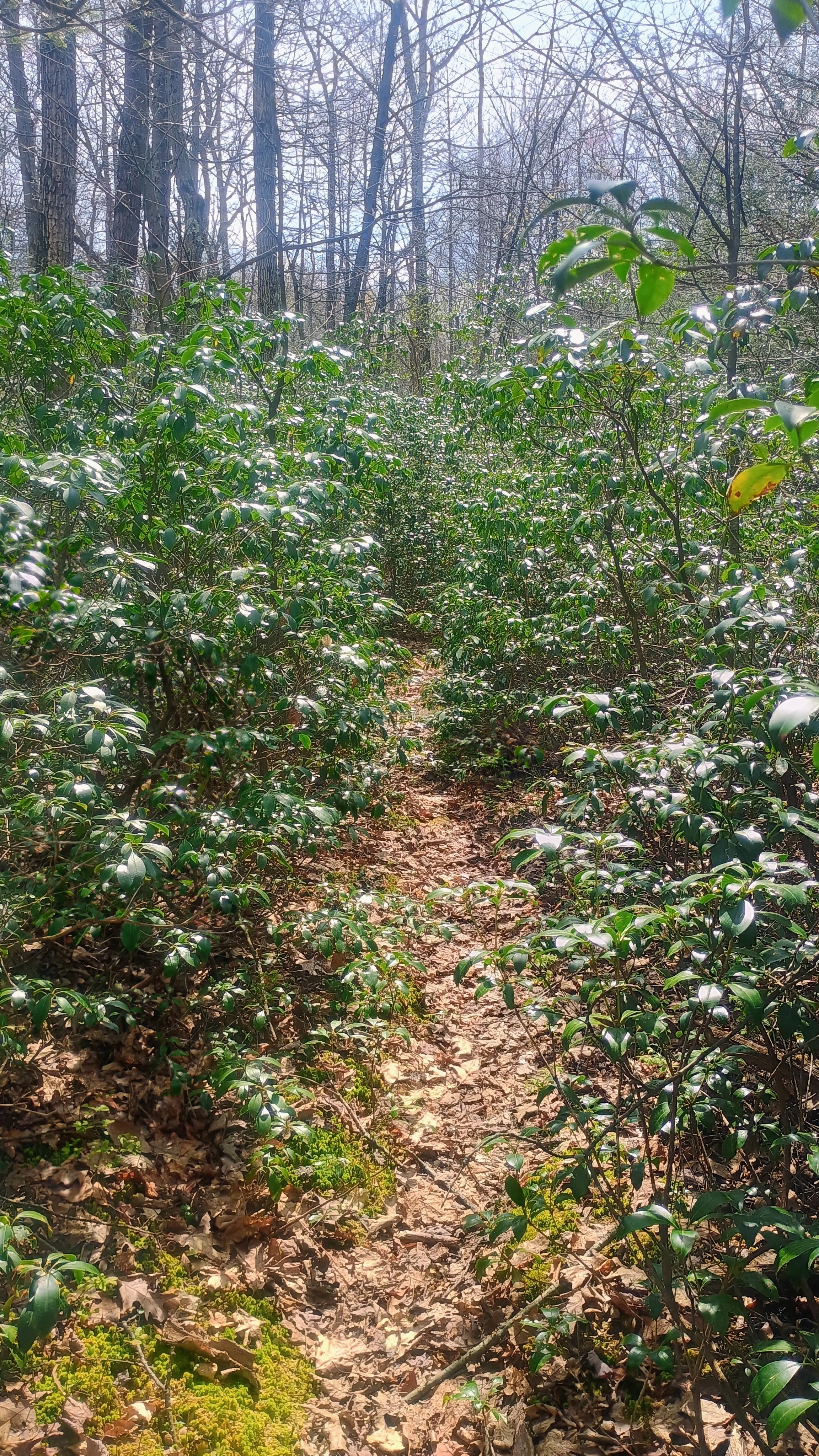
I followed the red-blazed Bear Pond Trail for a half mile through some mountain laurel and young forest until I joined the blue-blazed Tuscarora Trail.
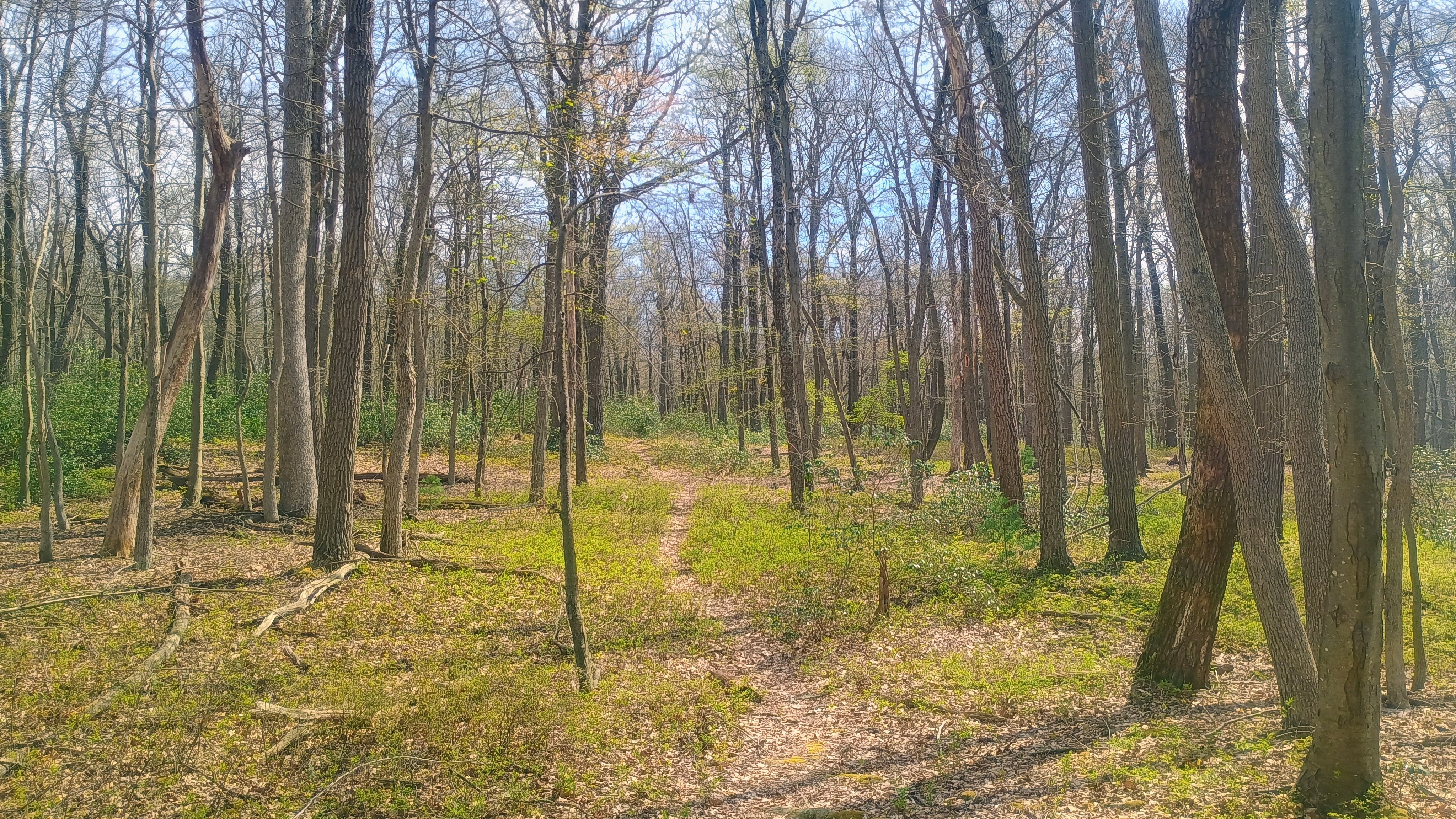
From here, the path got a bit rockier, following the ridgeline of Rising Mountain. Along the way I passed a local who was excited to see somebody else on the trail, and we chatted for a bit. I suppose Tuscarora is not one of the more popular long-distance trails. It’s 250 miles, so I’m not sure that many folks attempt to through hike it.
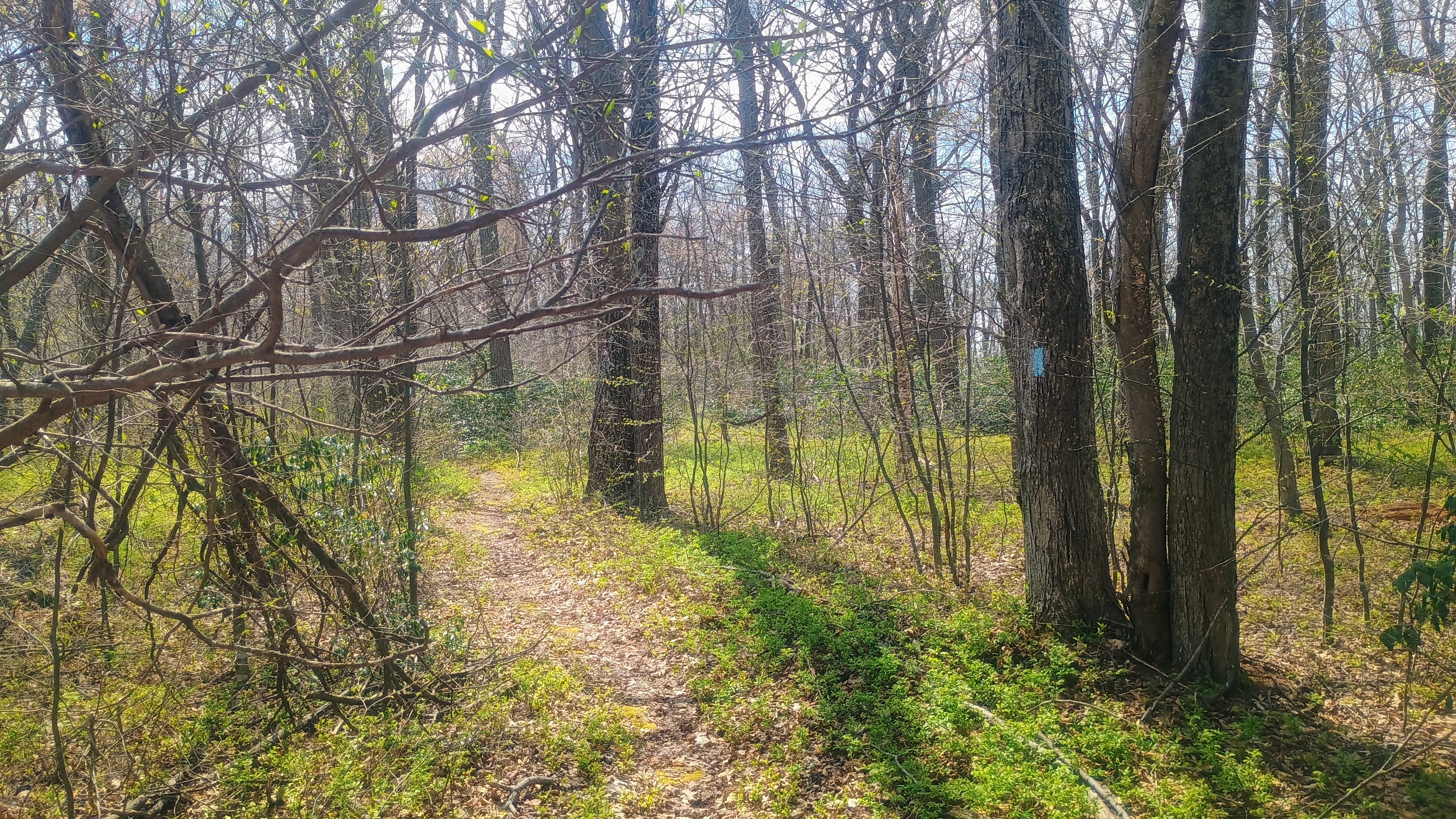
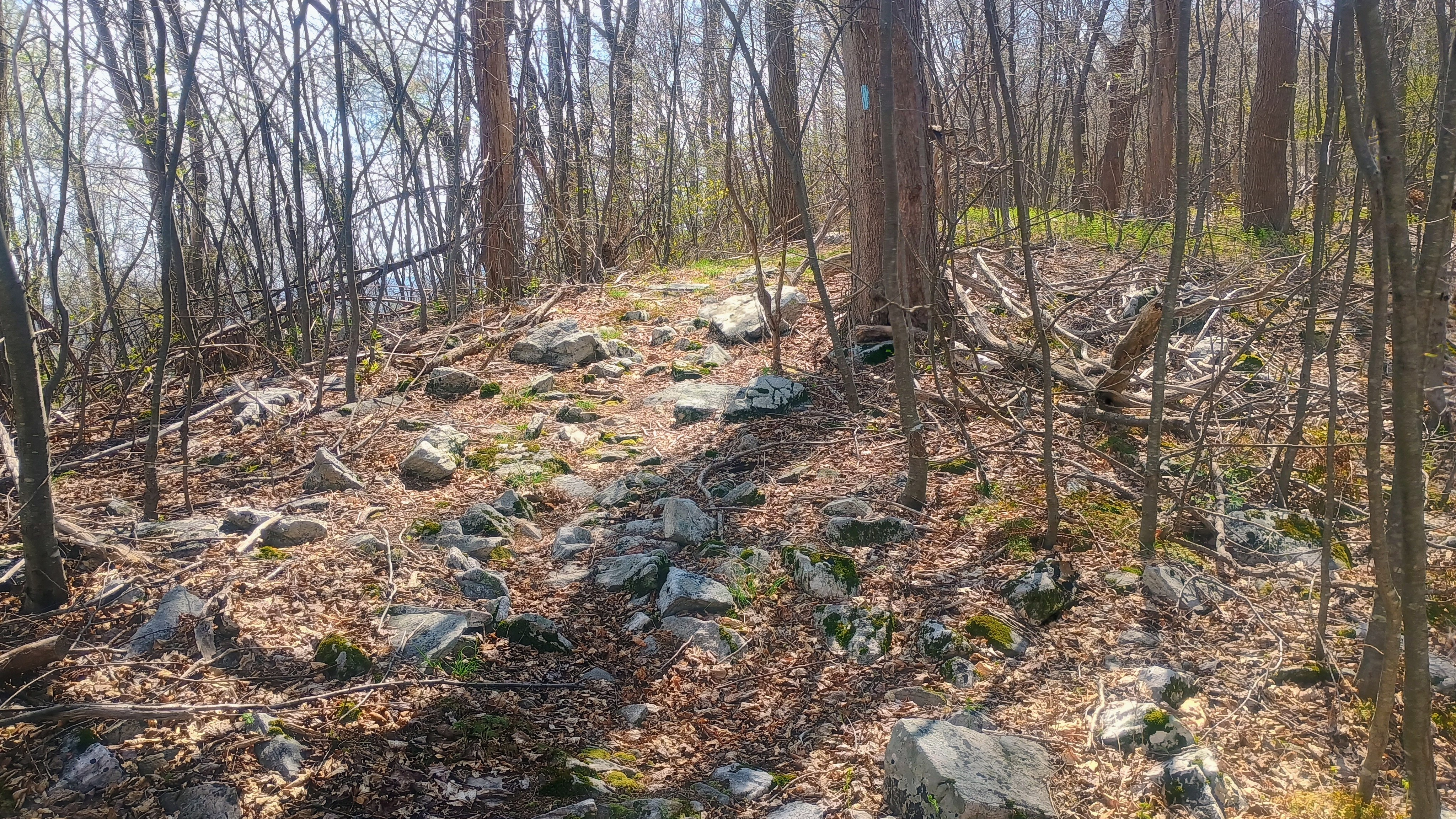
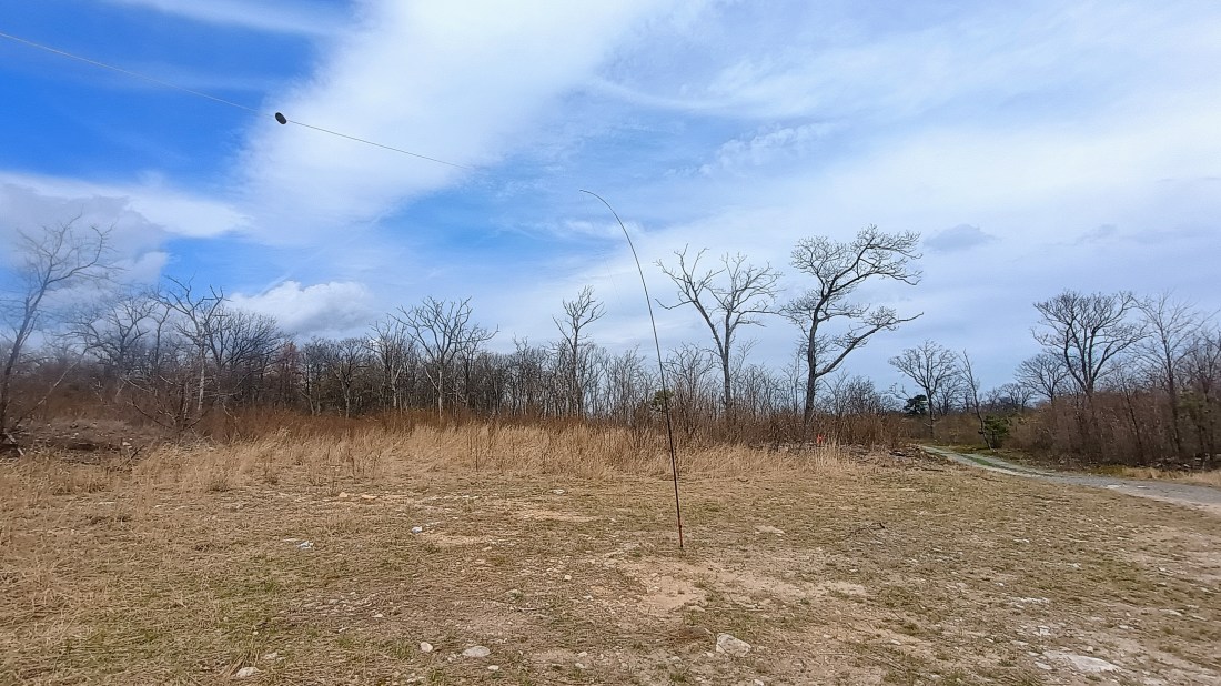
After a little over 2 miles, I was in the activation zone and found a small clearing by the trail to set up and operate. I managed to work JB KC1MXB on 40m for a second S2S, this time on W1/AM-350. My other S2S was on 20m with K6EL on W6/NC-298 in Berkeley, CA, my third S2S with El on my beloved Vollmer Peak.
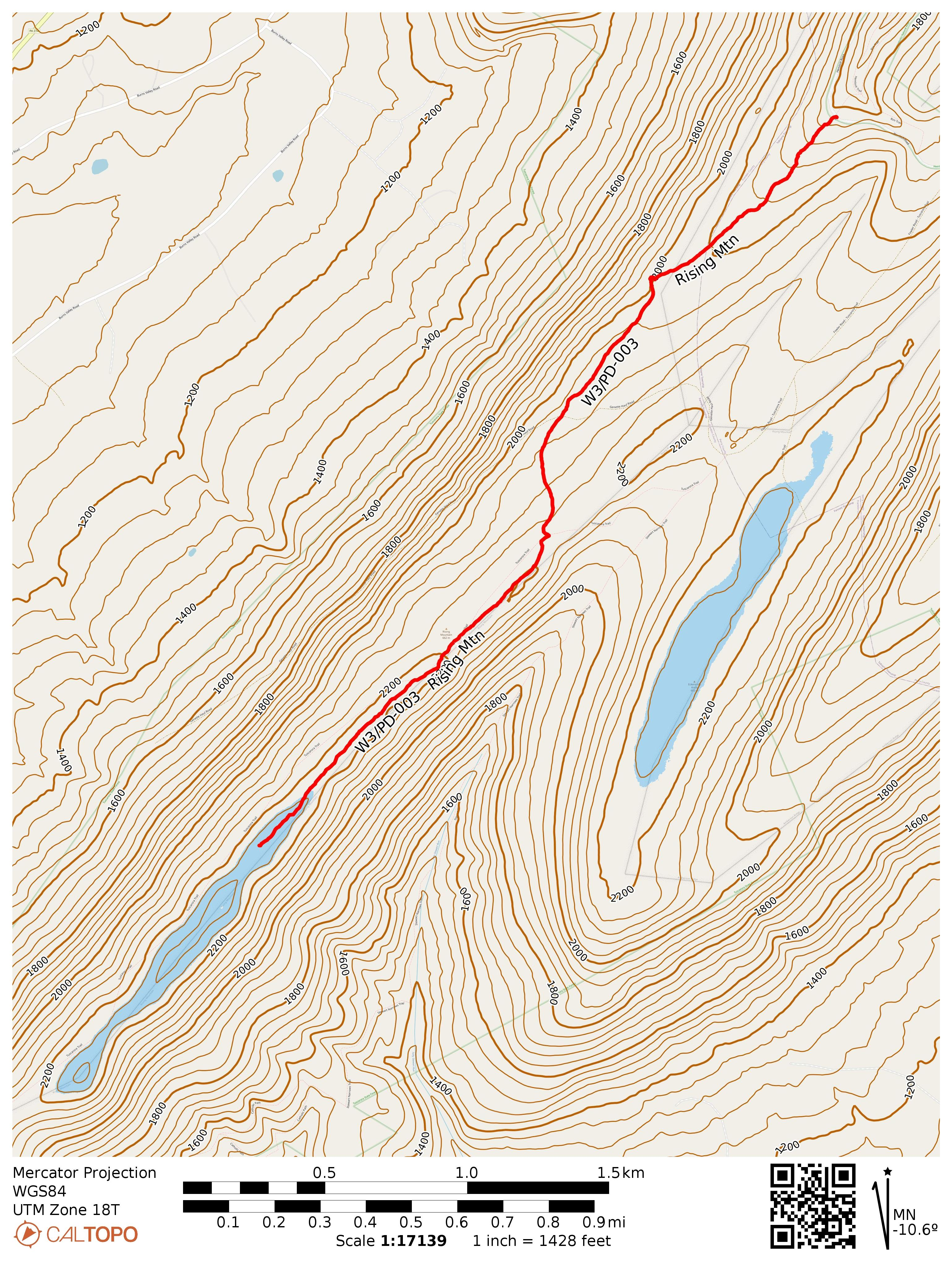
  • Trailhead: 40.23508, -77.64443 : Hemlocks Natural Area parking
  • Maps: [AA3TZ SOTA] [Tuscarora State Forest Map]
  • Route: 4.5 mi RT hike on Bear Pond and Tuscarora Trail, 500 feet gain.
  • POTA: US-5479 Tuscarora State Forest

After this hike I camped at Colonel Denning State Park, where I got in an evening POTA activation. The next day was a rainy morning, so I just found some picnic groves in nearby Fowlers Hollow SP and Big Spring SP for a couple more POTA activations on the way home. Big Spring was particularly pretty, and there is an abandoned railroad tunnel to check out on the next visit.
W3/PD-004 Blue Mtn

After activating Clarks Knob, I moved on to W3/PD-004, one of several SOTA peaks on Blue Mountain, which is one of the major mountains the PA turnpike tunnels through. Jill N3ICE and Jim AC3B, two legendary W3 activators who have been on a quasi-hiatus from SOTA during recent years, had activated this summit in January to break their radio silence. I managed to chase N3ICE during their activation, which put this peak on my to-do list. Today was the day to check it off!

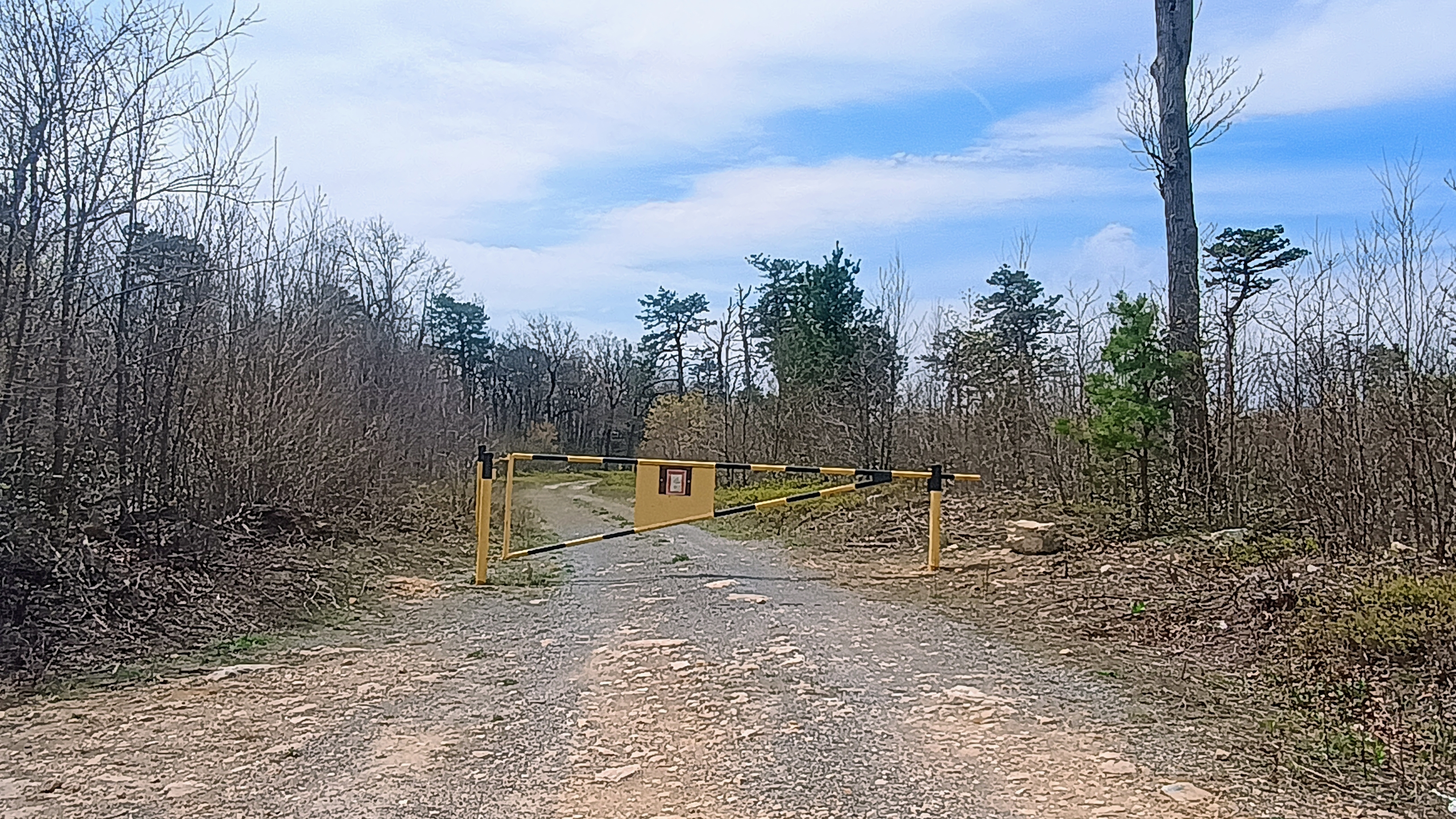
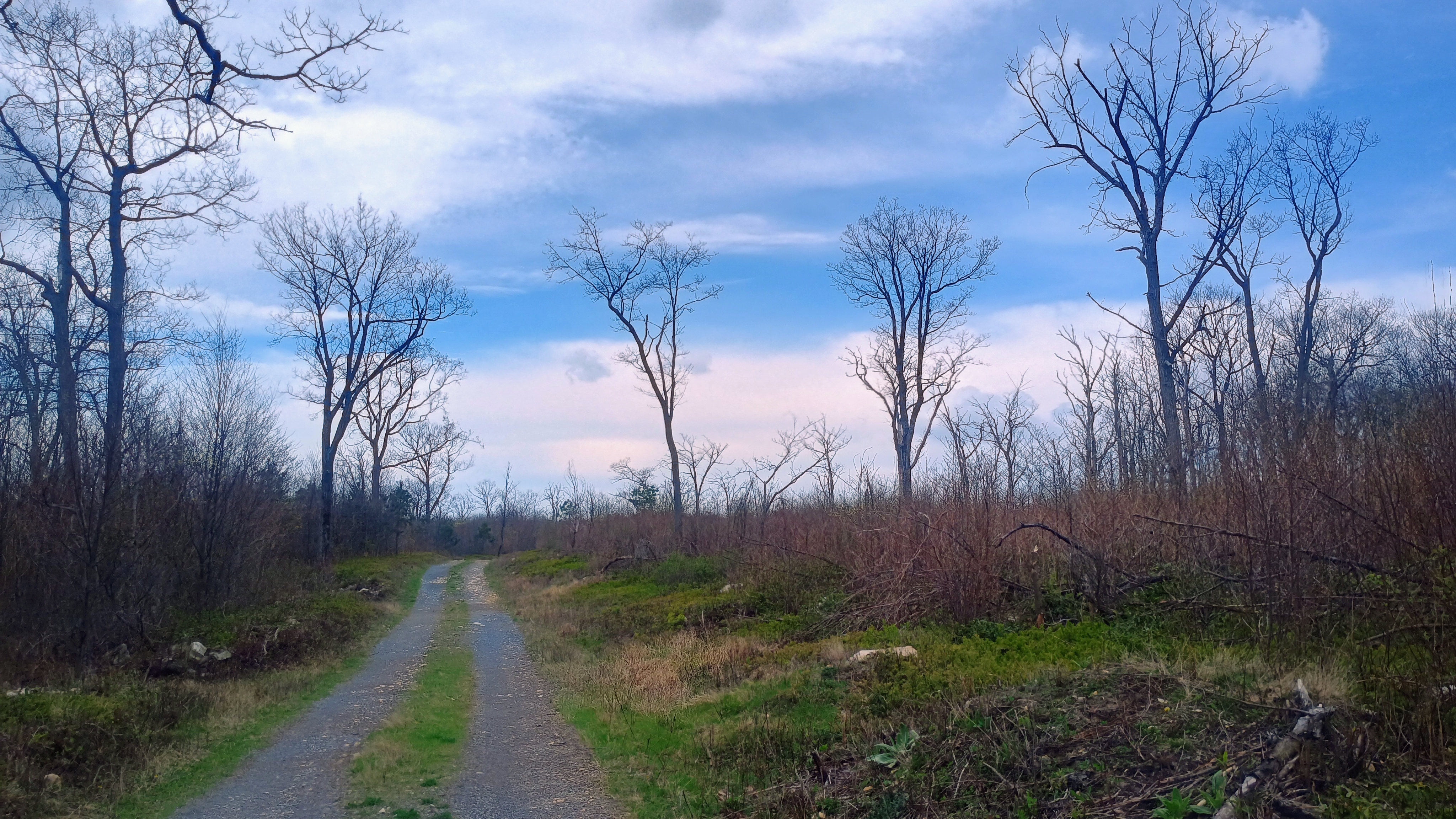
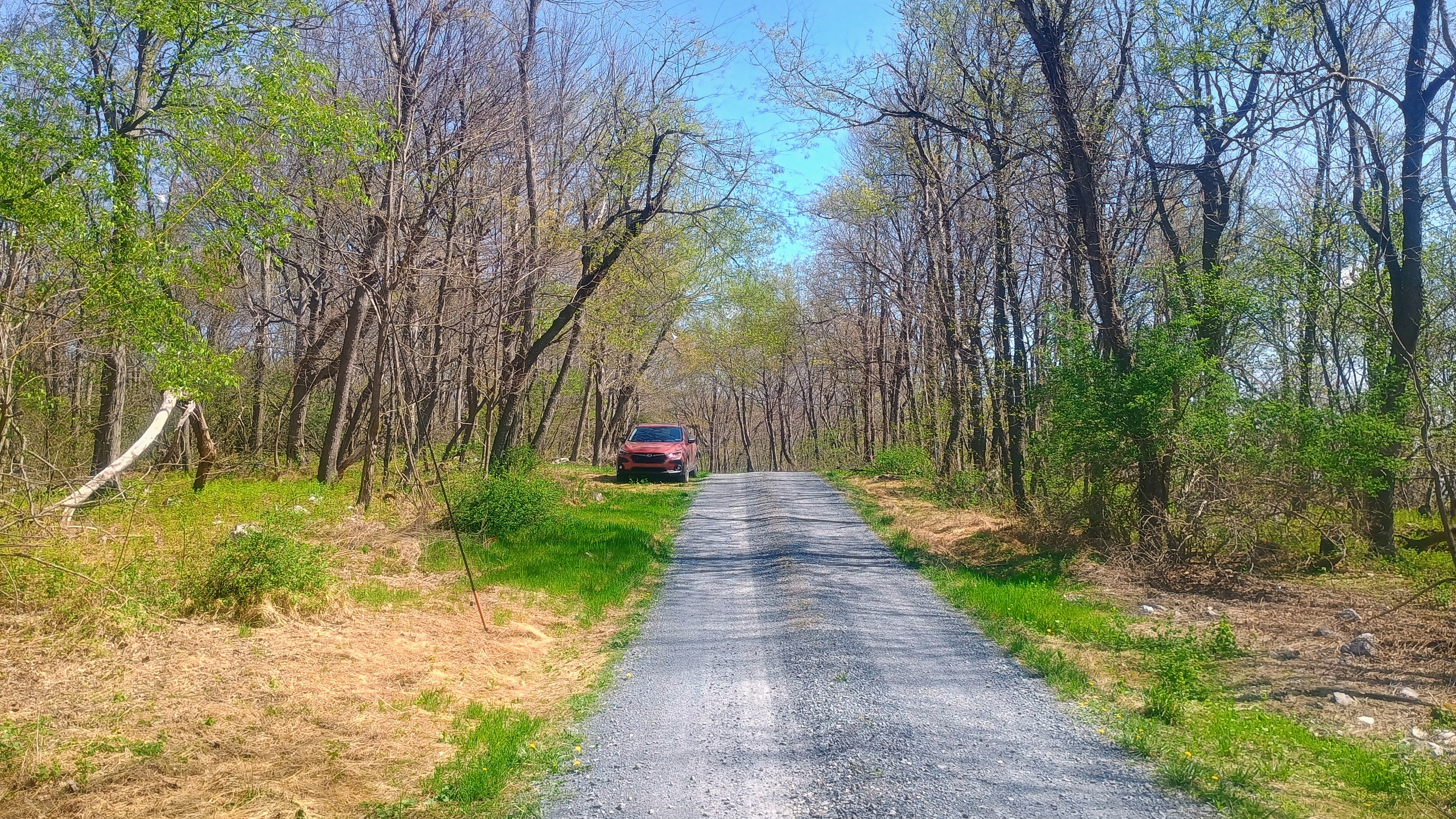
I drove into Tuscarora State Forest along Three Square Hollow Road and parked at the gate on Blue Mountain Road (which was closed), then continued from there on foot. Many other activators report poor/icy conditions in the winter, no doubt attracted to the potential winter bonus. These forest roads are all gravel/unpaved and not maintained in the winter so I feel it would be tough going in the winter, but this was perfectly fine in the spring.

This gate may be open seasonally, but the hike is very short.

After just over a half mile of a relatively flat hike along the road, I was in a large clearing in the activation zone and set up there, near a primitive campsite with a fire ring in front of a second gate.

I worked 6 QSOs on 40m, and 5 QSOs on 20m, including two S2S: KG5AUU on W5O/OU-002 (a SOTA activation in Oklahoma, rare for me to see!) and K7GT on W7O/SC-044. Since I had one more hike to go before setting up my campsite, I packed up quickly and got on to the next one.

  • Trailhead: 40.20506, -77.57793 : Parking area by gate on Blue Mountain Road
  • Maps: [AA3TZ SOTA] [Tuscarora State Forest Map]
  • Route: 1.2 mi RT hike on Blue Mountain Road, <100 feet gain to get into AZ.
  • POTA: US-5479 Tuscarora State Forest

W3/PD-002 Clarks Knob

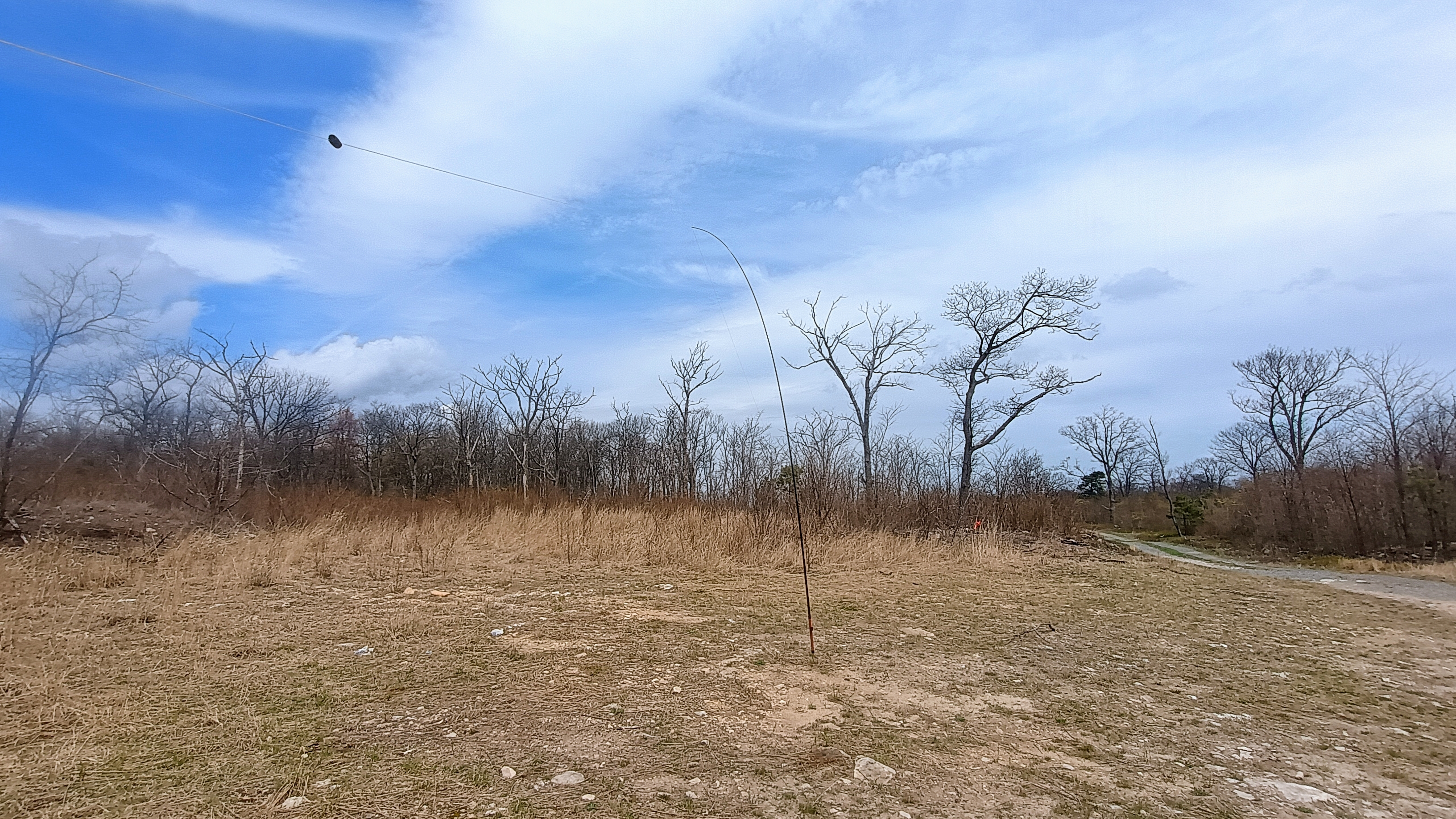
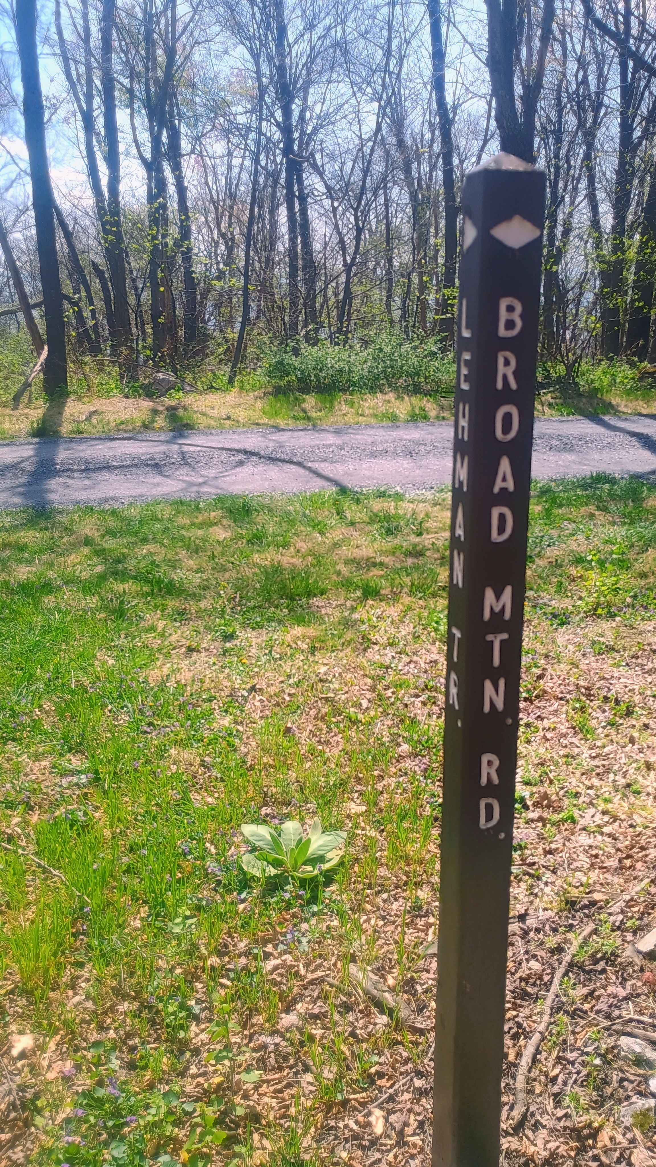
This SOTA activation was part of a one-night camping trip to Colonel Denning State Park in Cumberland County, near Tuscarora State Forest. This was an easy drive-on on my drive east, a quick stop in the Bear Valley division of Buchanan State Forest. I drove along Bear Valley and Broad Mountain Road which were in good condition. I parked around the trailhead for the Lehman Trail, a singletrack MTB trail a bit down the road southwest from the towers, and strung my wire up alongside the road and worked the contacts.

While this was just a quick one, it became a “Northeast SOTA Buddies” activation, and I worked S2S with three of my most frequent chasers: JB KC1MXB on W1/AM-109, Eric VA2EO on VE2/QC-106, and Roy WN3F on W4V/SH-024, all on 40m! One of the advantages of activating on a Saturday: S2S abounds!

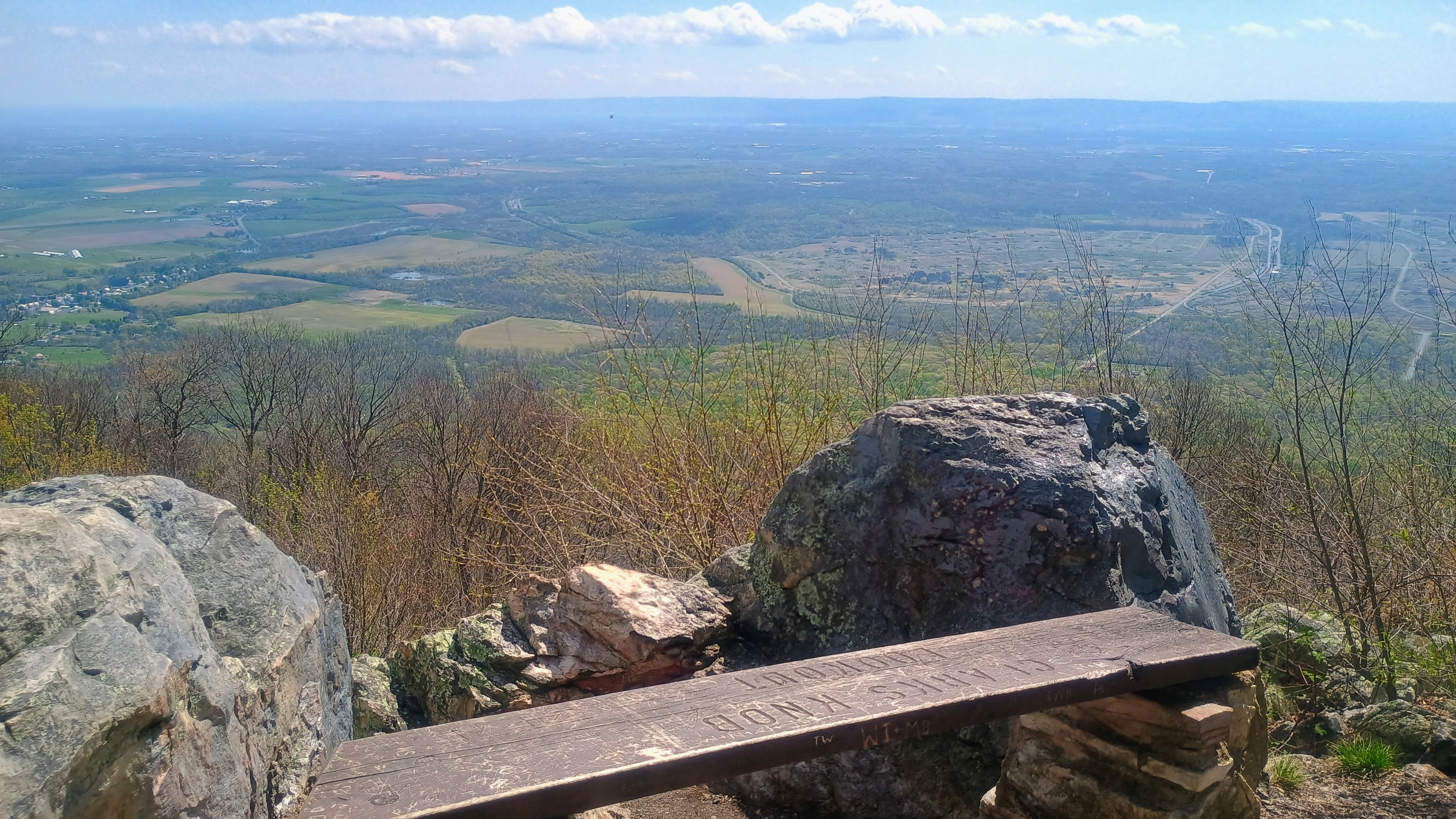
This site overlooks the Letterkenny Army Depot which is in the valley to the east. I’m not sure what happens there, but it is blotted out over every map. A cursory search tells me that missile systems are repaired and modernized there. It probably would be best to stay away!

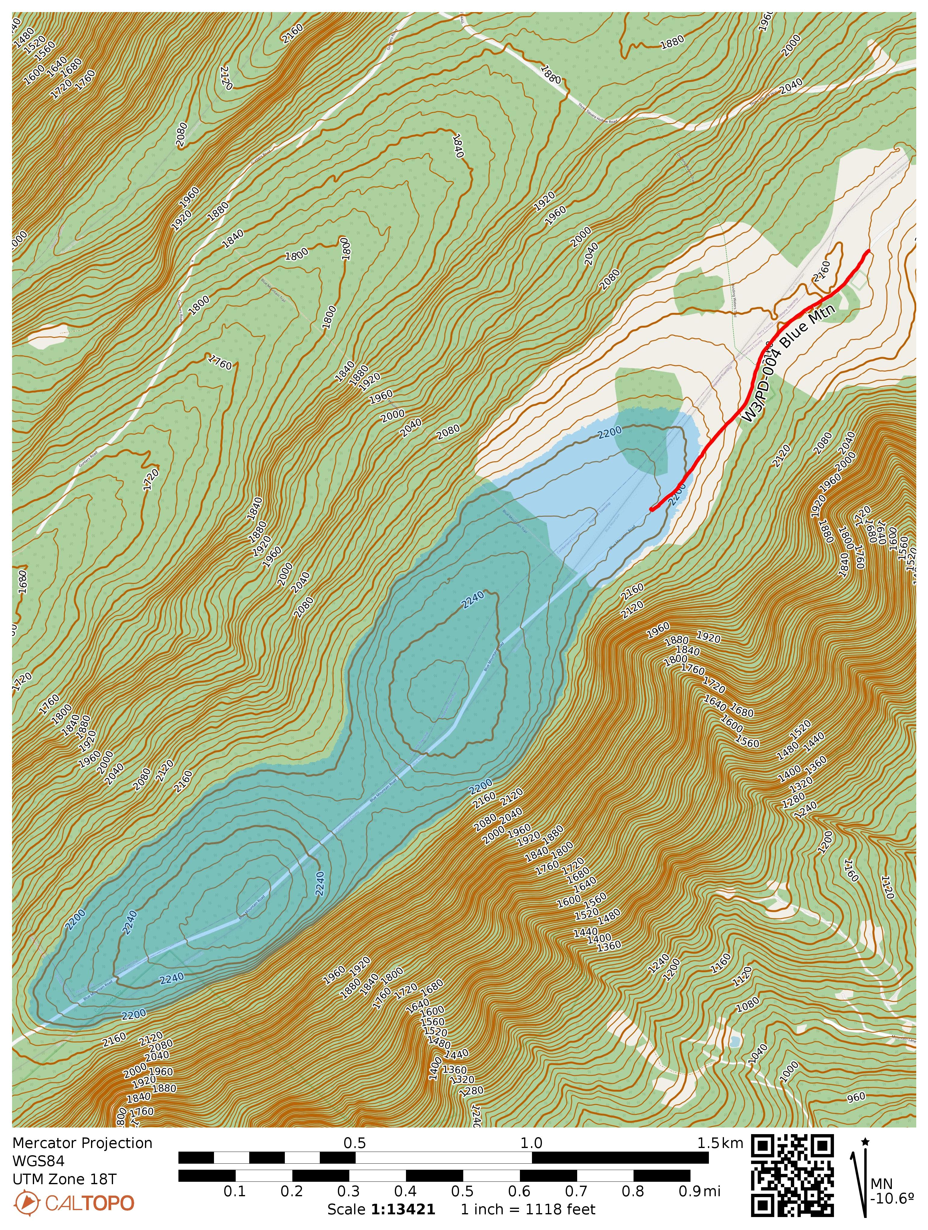
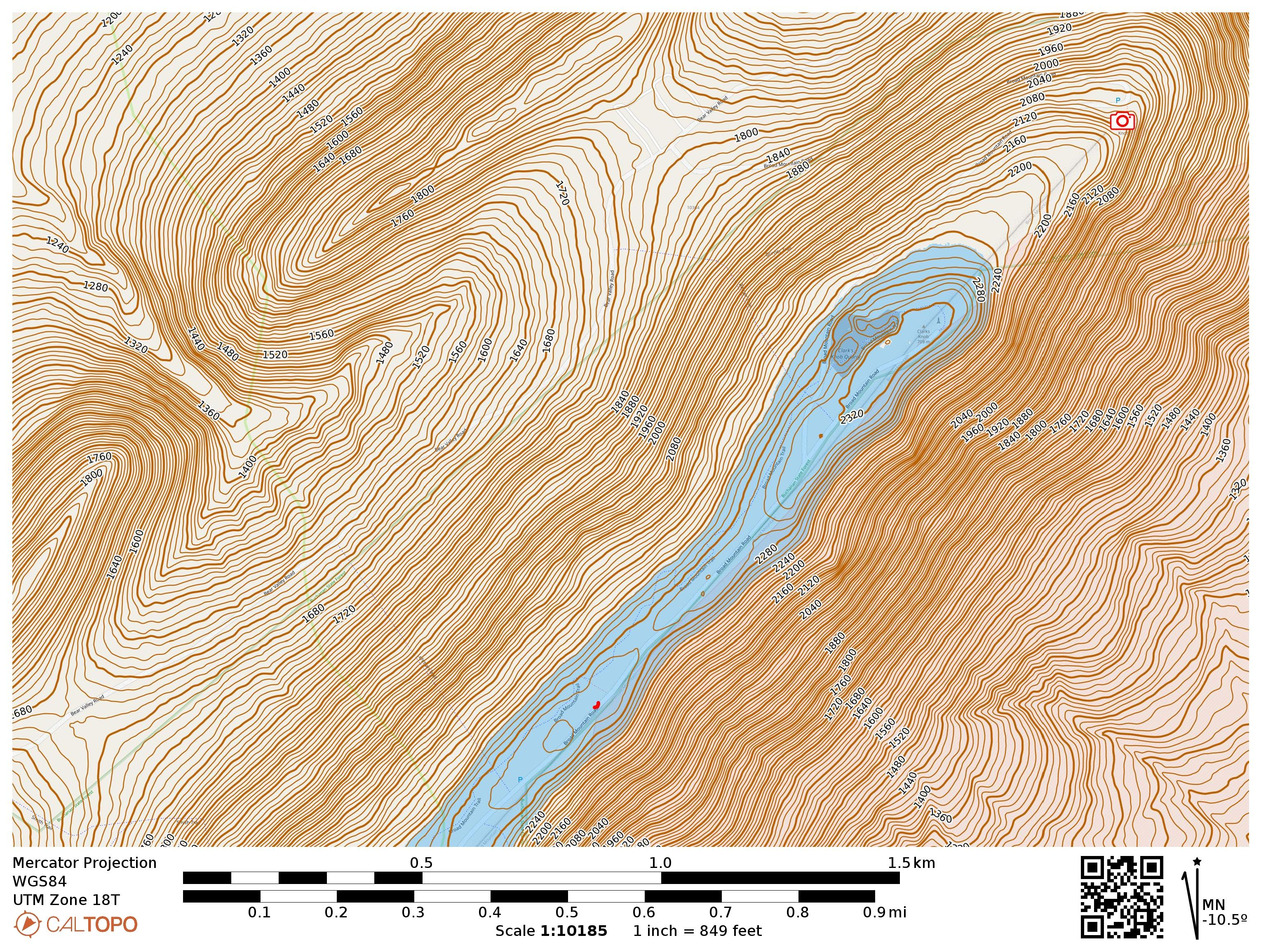
There is a broad activation zone. I operated near the bottom of this map, at the small red squiggle. Clarks Knob Overlook is part of the drive up and marked with a camera.
  • Trailhead: 40.04289, -77.75591 : Pulled over from Broad Mountain Road, though there is lots of parking on the ridge. 40.04161, -77.75766 is parking for access to Lehman Trail and would be another good spot.
  • Maps: [AA3TZ SOTA] [Buchanan State Forest Map (Bear Valley Division)]
  • Route: Drive-on.
  • POTA: US-5463 Buchanan State Forest

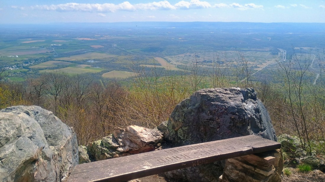
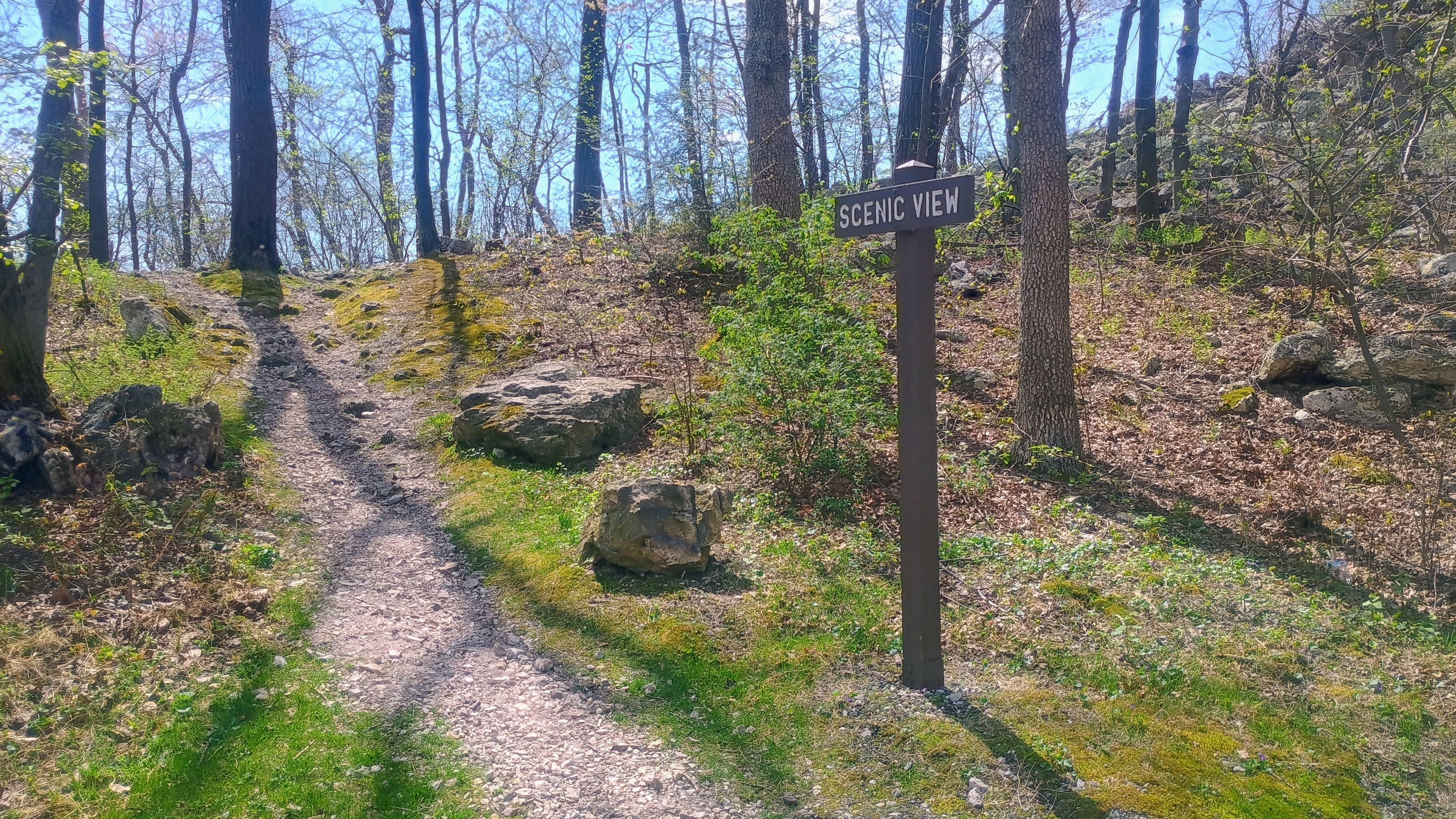
On the drive back down, I stopped at the Clarks Knob overlook, which has a bench to rest at after a short rock scramble. Worth a stop!