
For this year’s first camping trip, I went out to activate a set of summits in Bald Eagle State Forest. I kept my plans flexible, as a coronal mass ejection was reported while I was driving towards the campsite, and I wasn’t ready for VHF. On the drive in, I stopped to do this hike, about 30 minutes east of State College. The rugged, rocky trail set the tone for all the hiking this weekend.
My grandfather was a mechanic for the US airmail service, and he had many stories about the dangers of flying over the Allegheny Mountains. Evidently, a pilot facing a terrible storm, had to make a quick landing in the mountains around high tension power lines. It was a miracle that the landing was successful. The plane could not be flown out of the area and actually had to be disassembled for removal!
In May 1931, an airmail pilot James Cleveland tragically crashed into Mount Nittanny. A trail named after him climbs up to a memorial on the ridge. The memorial site is within the large activation zone of this peak, over two miles northeast of the actual high point.
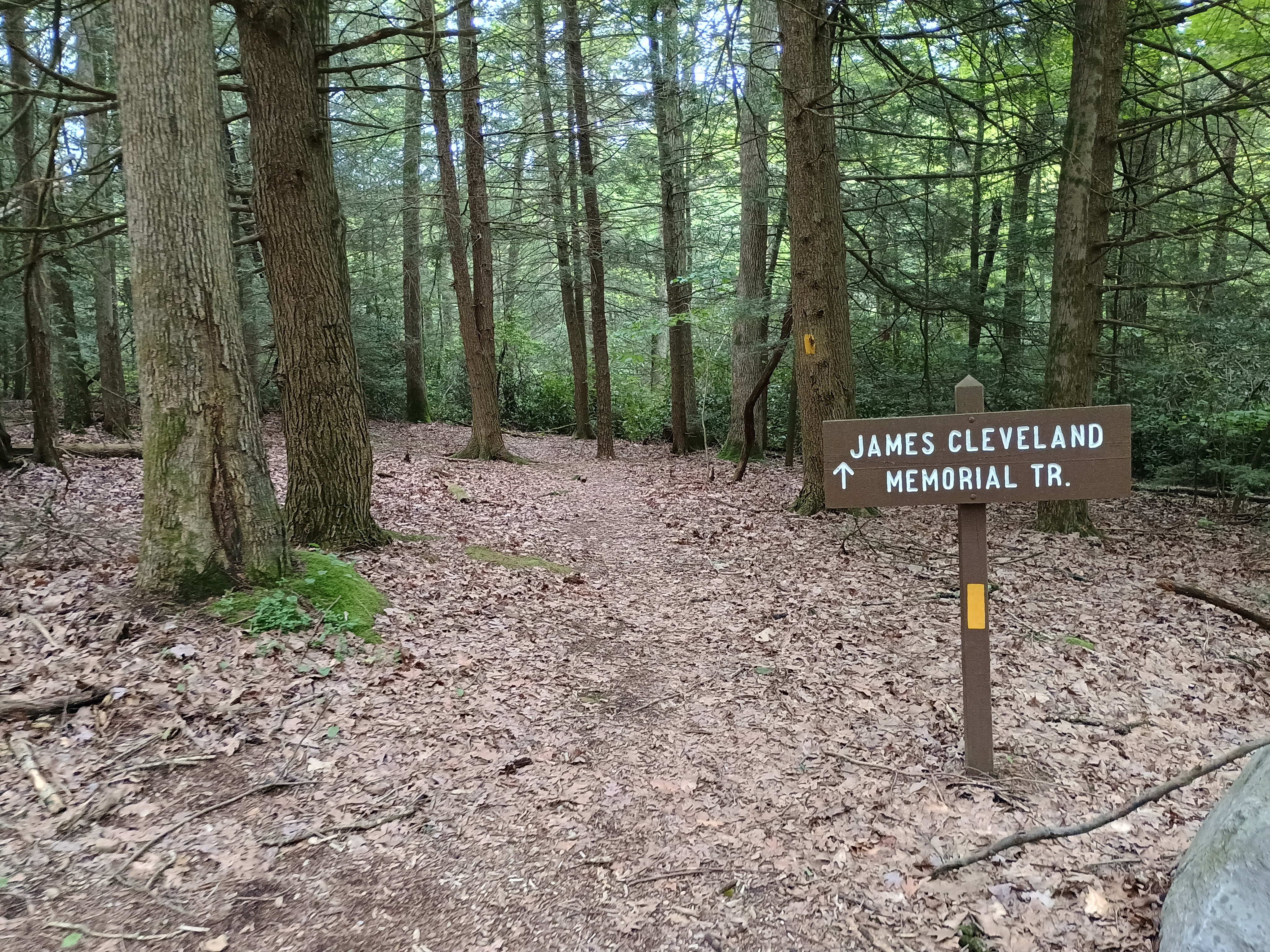
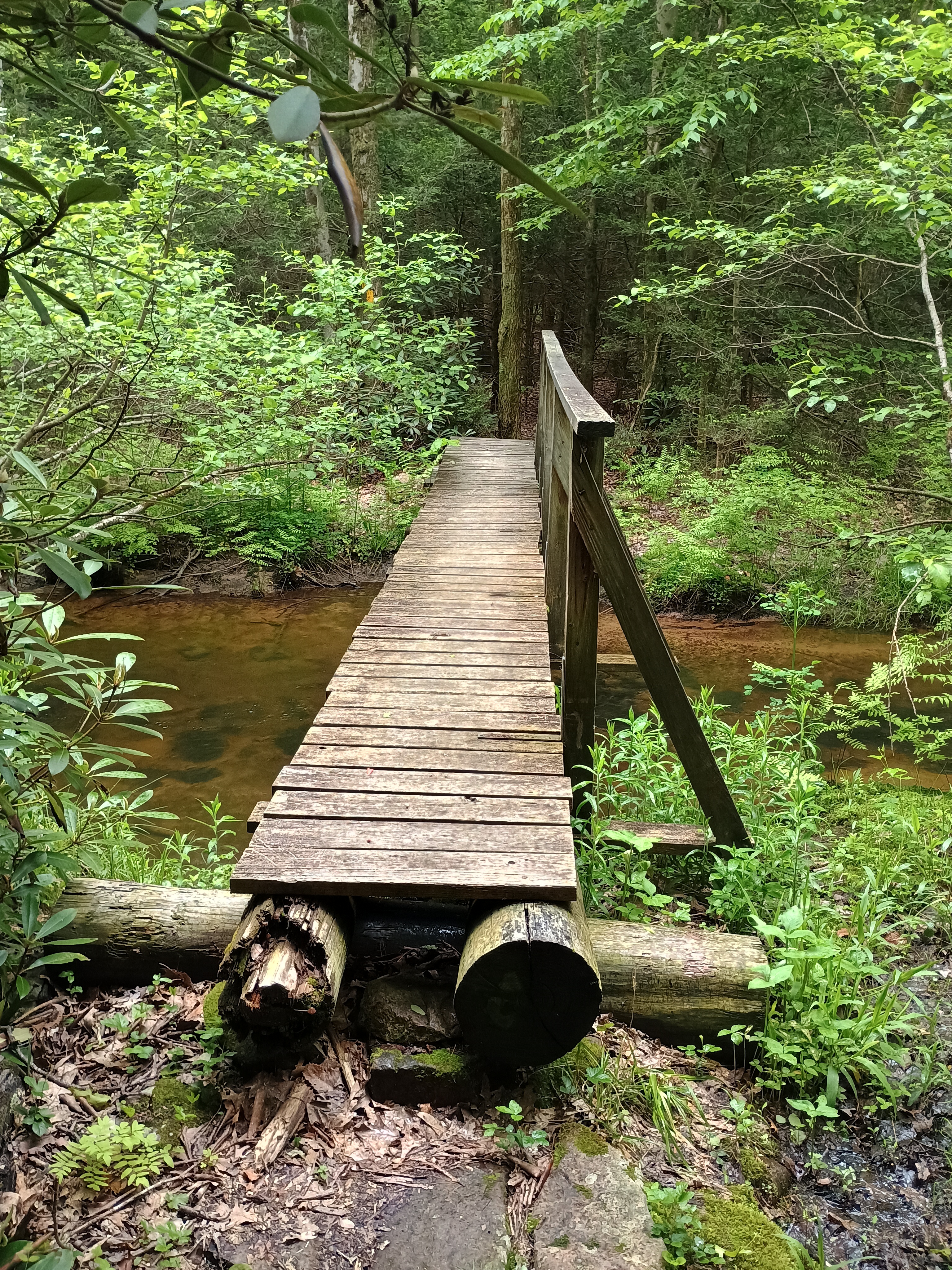
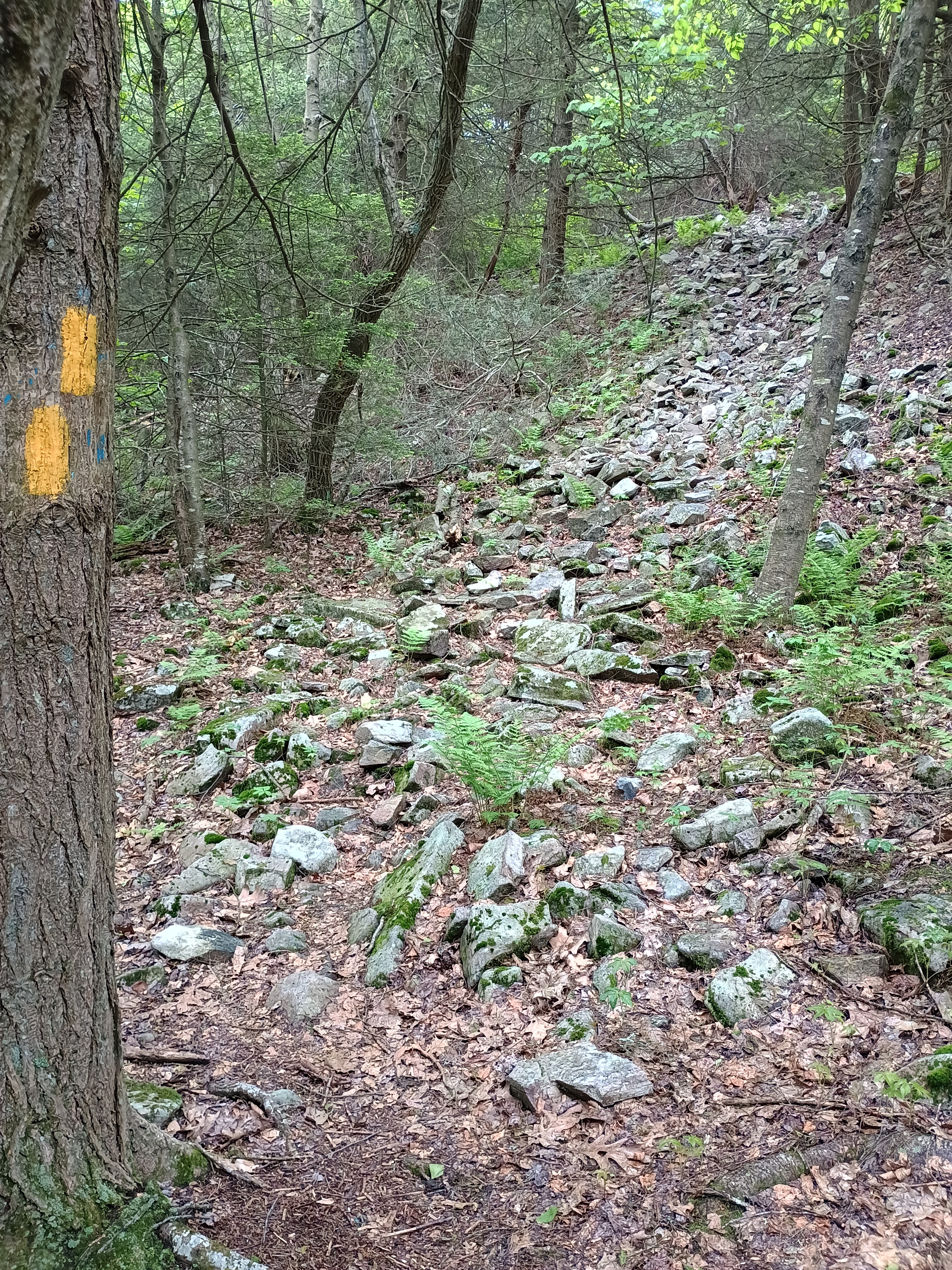
The trail started through some rhododendrons and then a bouncy suspension bridge across a stream. The trail was marked with yellow blazes, which in PA state forests indicates trails where hiking is the only allowable use. About 0.7 miles in, the ascent really started. The last bits of the climb were over some boulder fields, and the hike was generally rocky.
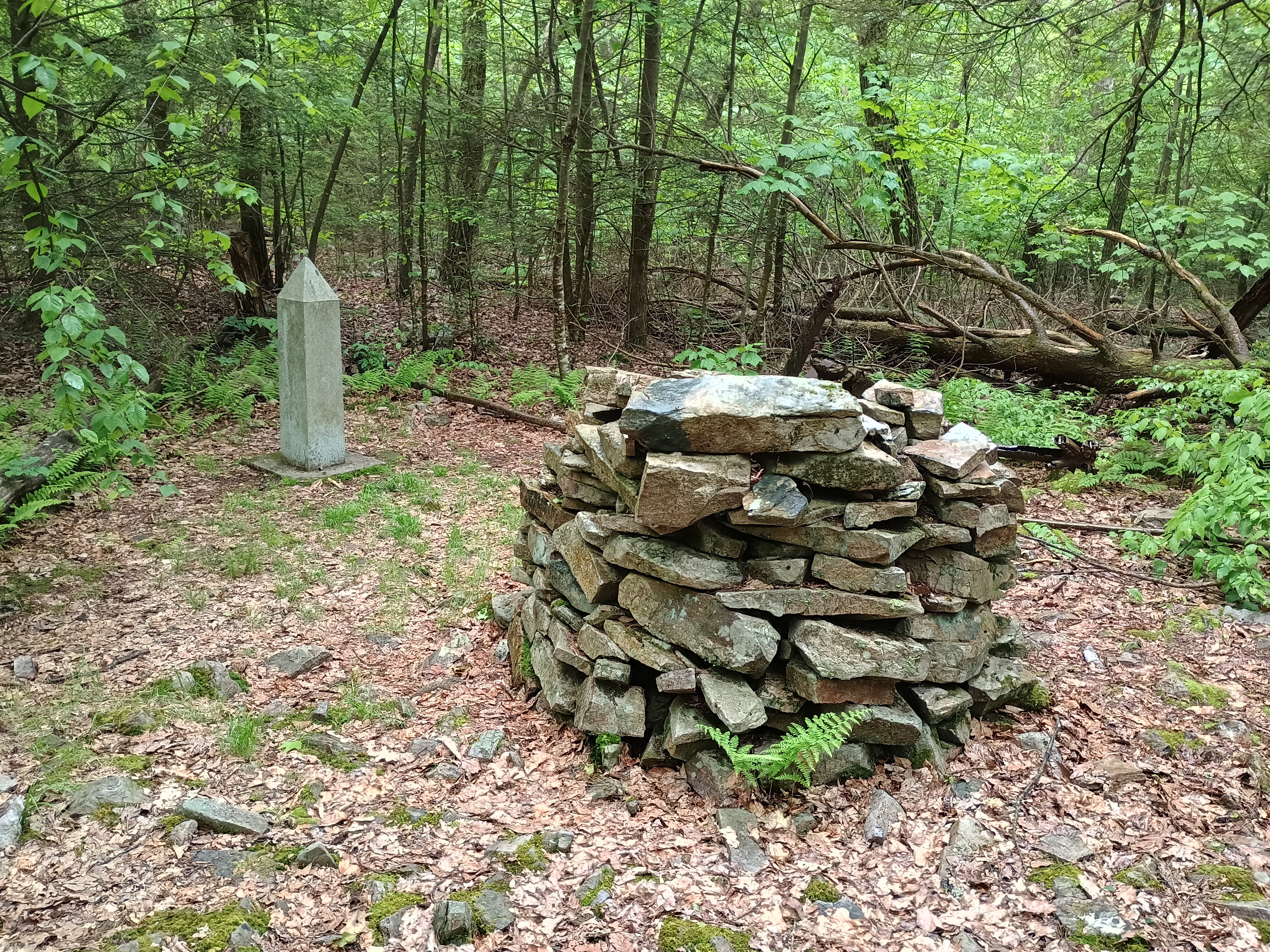
Around the top is the memorial: a stone pedestal with parts form the wreckage of the plane crash and a stone obelisk. I set up my antenna mast just east of the monument and strung the wire along the trail. Since it was starting to get dark and it was a bit soggy, I didn’t expect to see anybody else on the trial. There were a lot of trees, but there was enough open space over the trail to make this work.
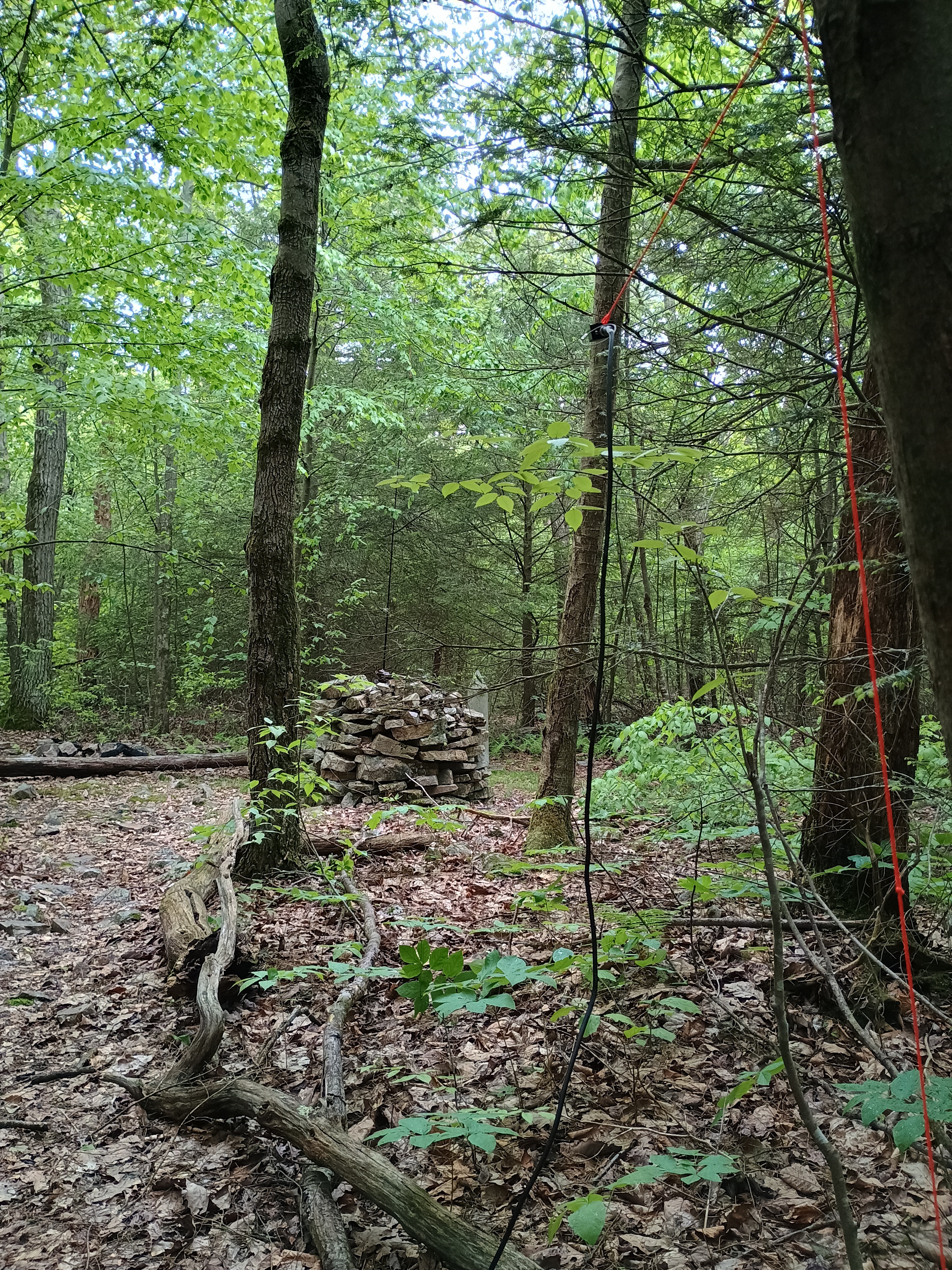
The light rain was well-shielded by just the right amount of tree cover. I logged 18 QSOs, with just a bit of DX this time: VA2EO on 40m (the prolific SOTA activator Éric in QC), and HI8D on 17m. This was a nice hike, definitely worth a visit if you’re in State College. The James Cleveland Trail continues down the south face of the mountain for another 1.5 miles or so. I just turned around after the activation since it was starting to get dark.
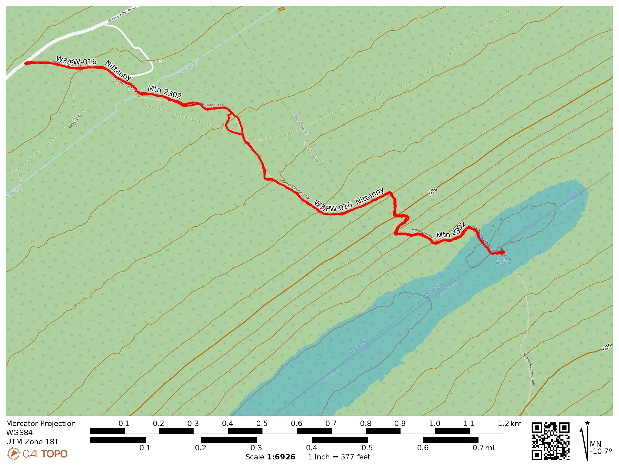
- Trailhead: 40.88455, -77.68050 : Small parking spot with space for about 3 cars beside Green Valley Road.
- Map: [AA3TZ SOTA]
- Route: Route: 2.4 mile RT hike along James Cleveland Trail, 560 feet of gain
- POTA: Bald Eagle State Forest (US-5462)
 Tom Zajdel