W3/PD-006 Flat Ridge

I stopped by Michaux State Forest on my way to Elizabethtown, PA to activate this SOTA peak. My last trip to Michaux SF had been a winter hike on the Appalachian Trail to activate W3/PD-007 Snowy Mountain at 2090 feet. This companion peak at 2110 feet is just a bit taller, part of the north half of the forest. These two are the most-activated peaks in the Pennsylvania Dutch region, and I had chased this one one three occasions! Activating it would add another complete to my “collection”.

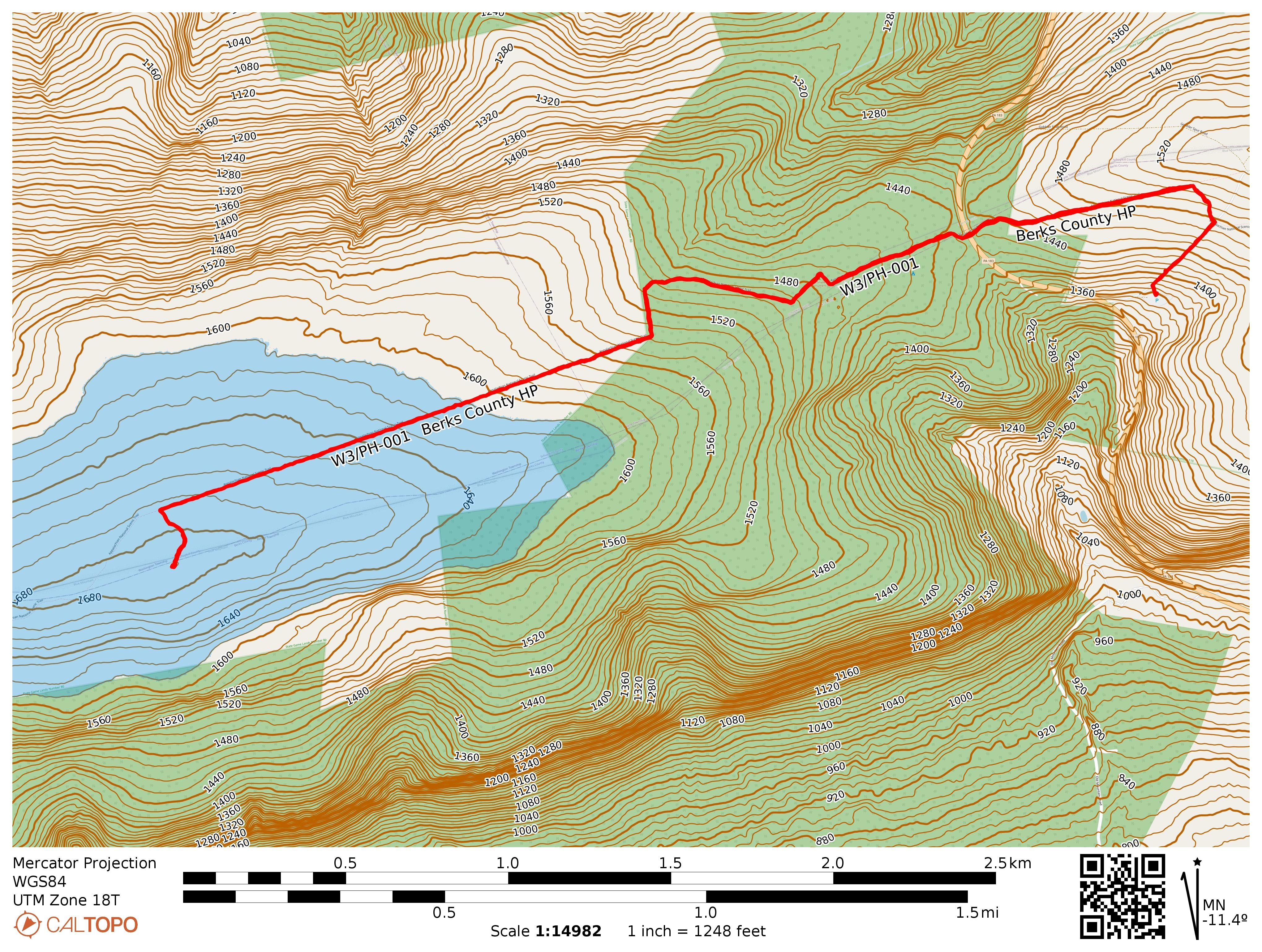
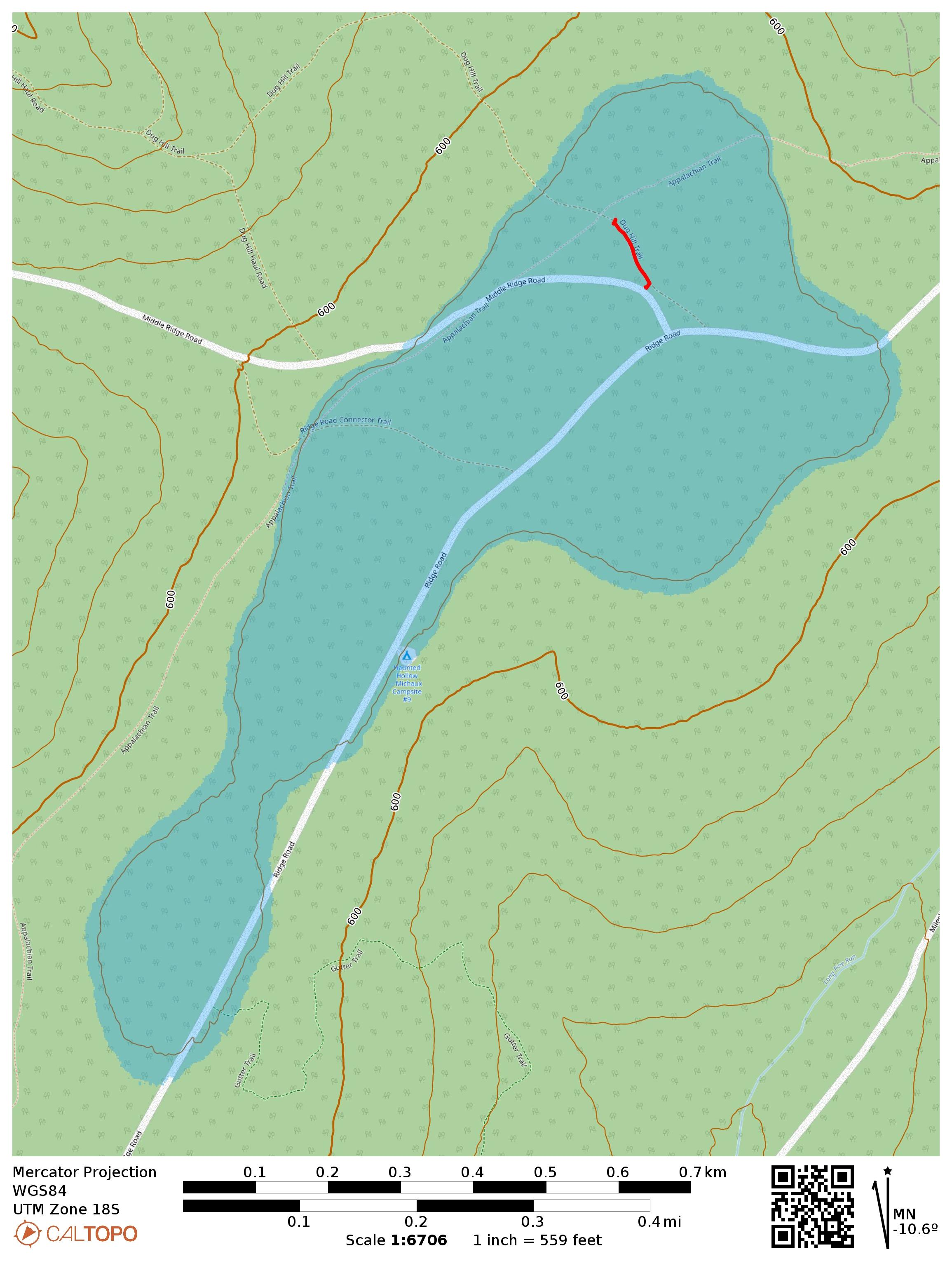
This is a drive-on and the Appalachian Trail goes through the activation zone. I drove along Ridge Road, turned onto Middle Ridge Road and parked where AC3B recommends, on a small grass patch large enough for one car. Here, a trail called Dug Hill Trail starts. As far as I can tell, it’s a short connector/mountain bike trail that gets little use. Critically, it passes right through the AT. I walked down this trail, admiring the little mountain laurel buds starting to bloom, until I got within 100 feet of the AT so I could activate it for POTA as well.

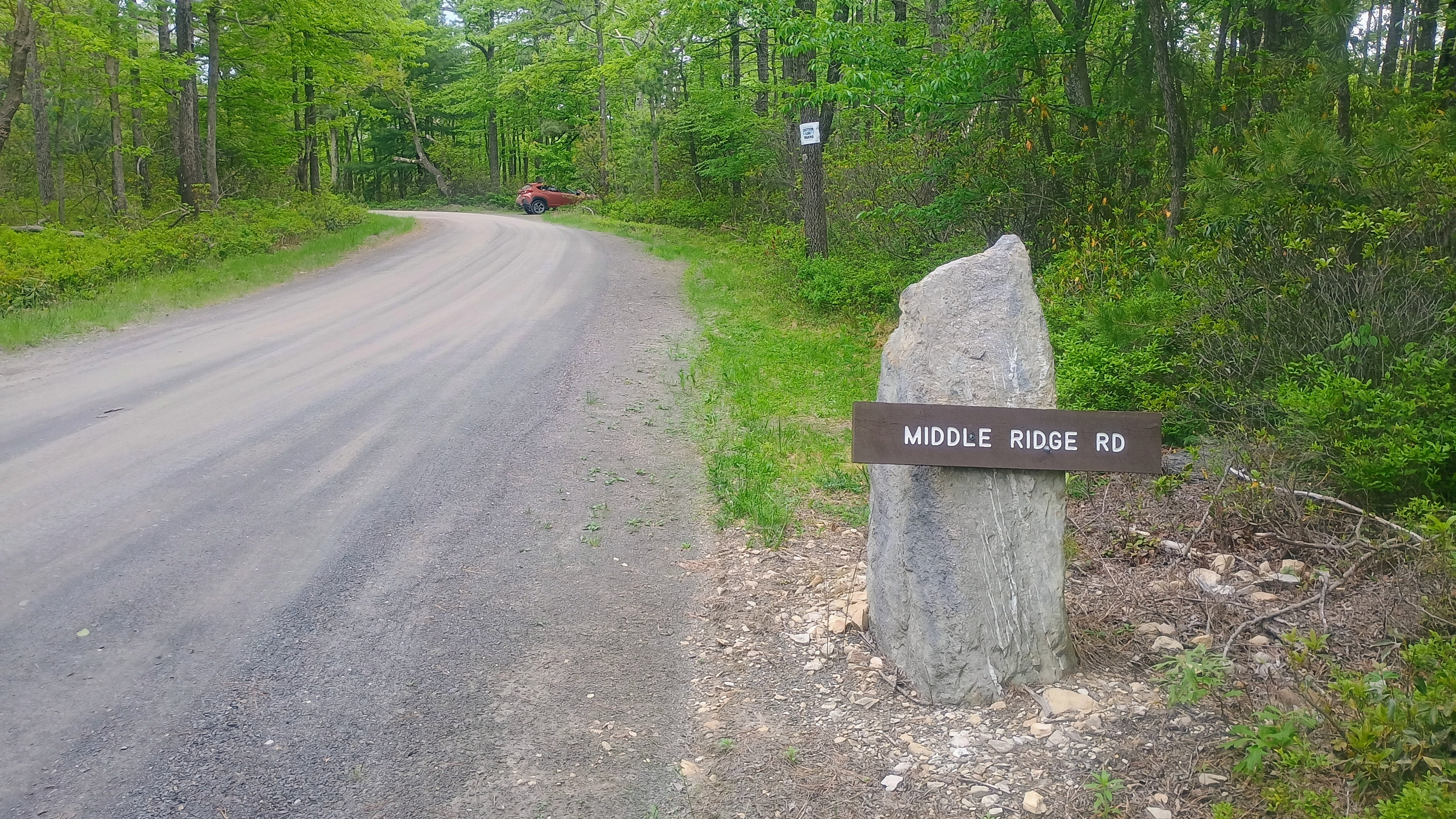
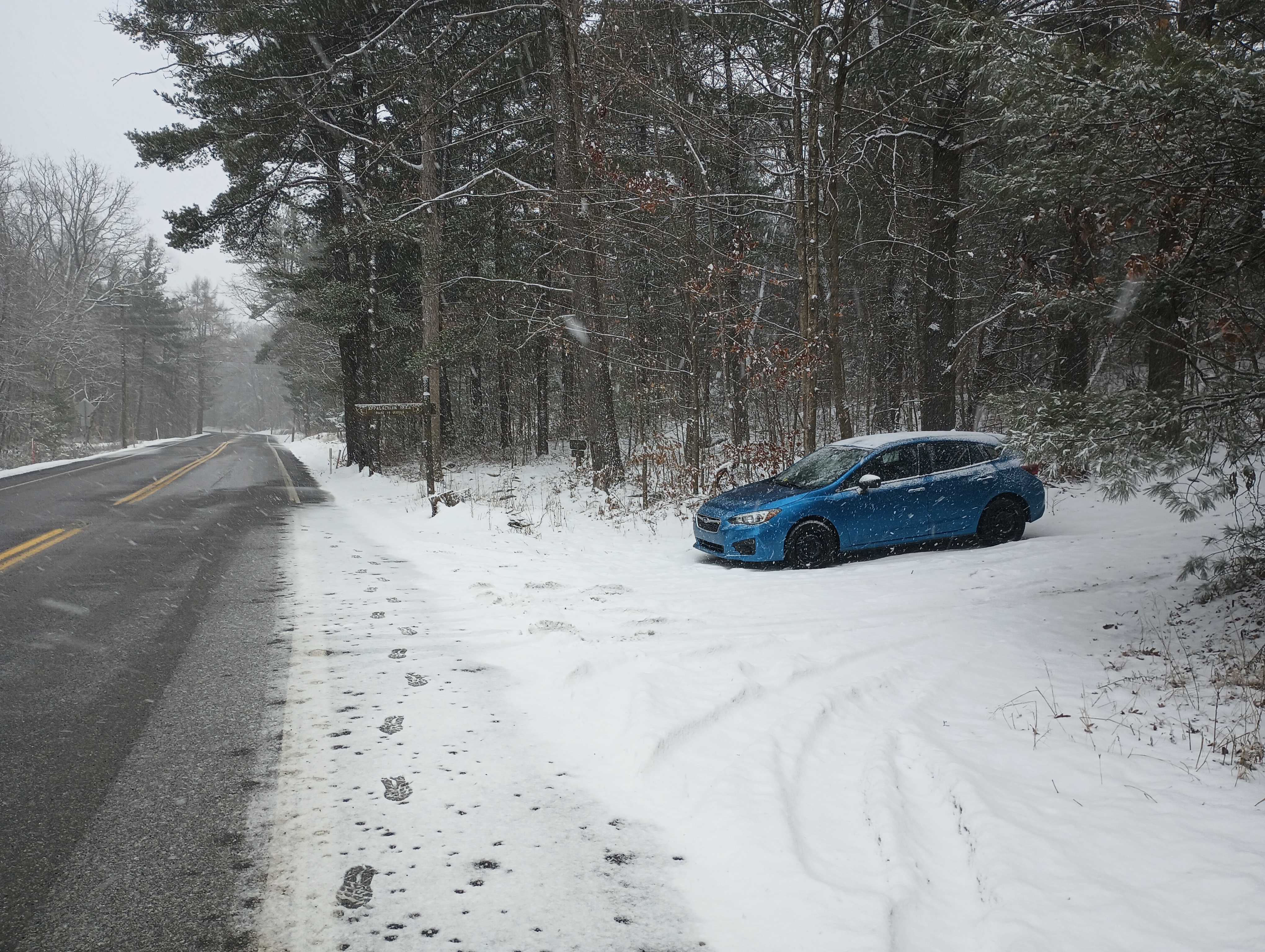
The turn on Middle Ridge Road is marked with this sign and the parking spot is just past it and off to the right.
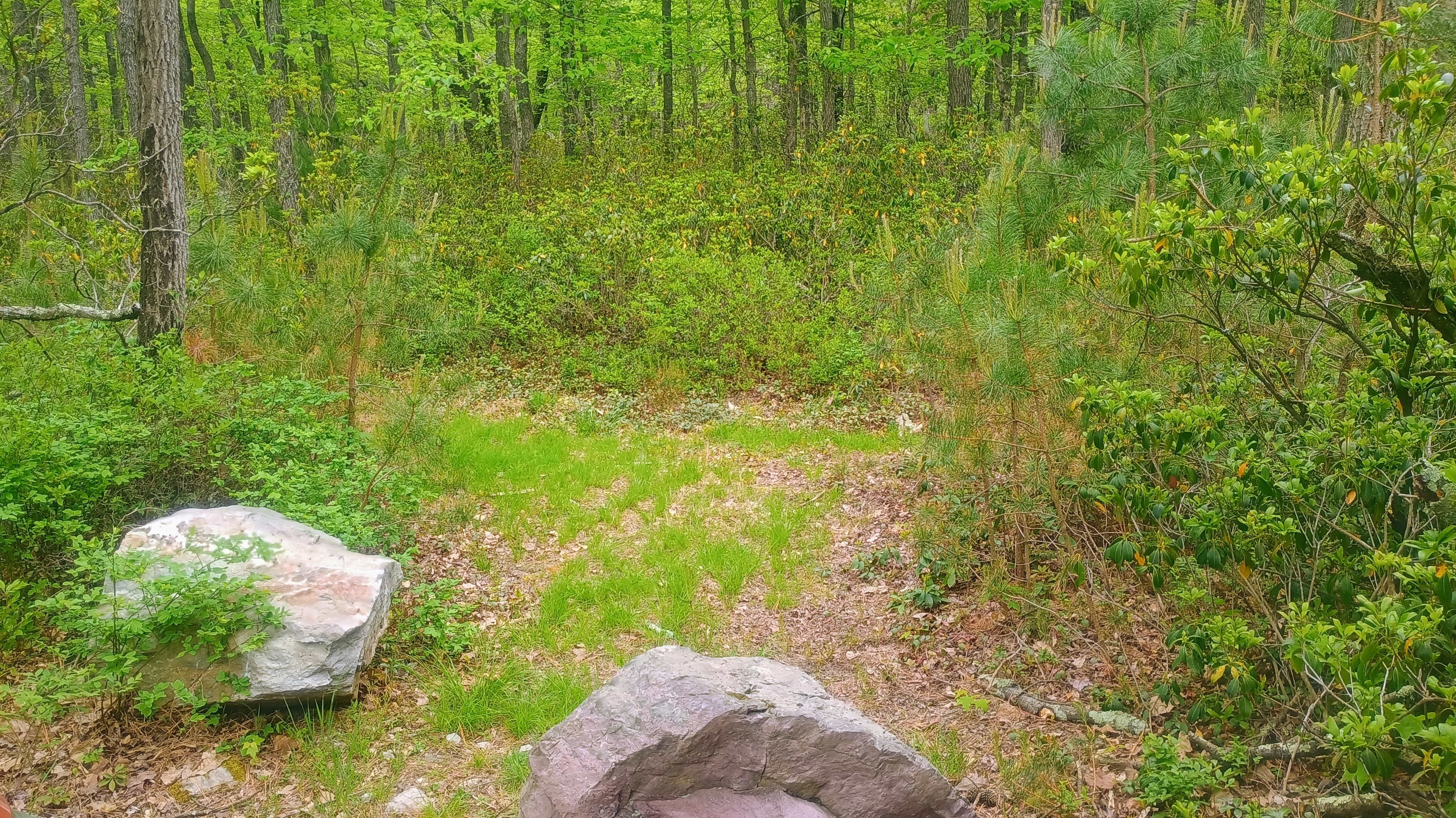
Dug Hill Trail starts just past the parking spot.
The first mountain laurels are starting to flower!
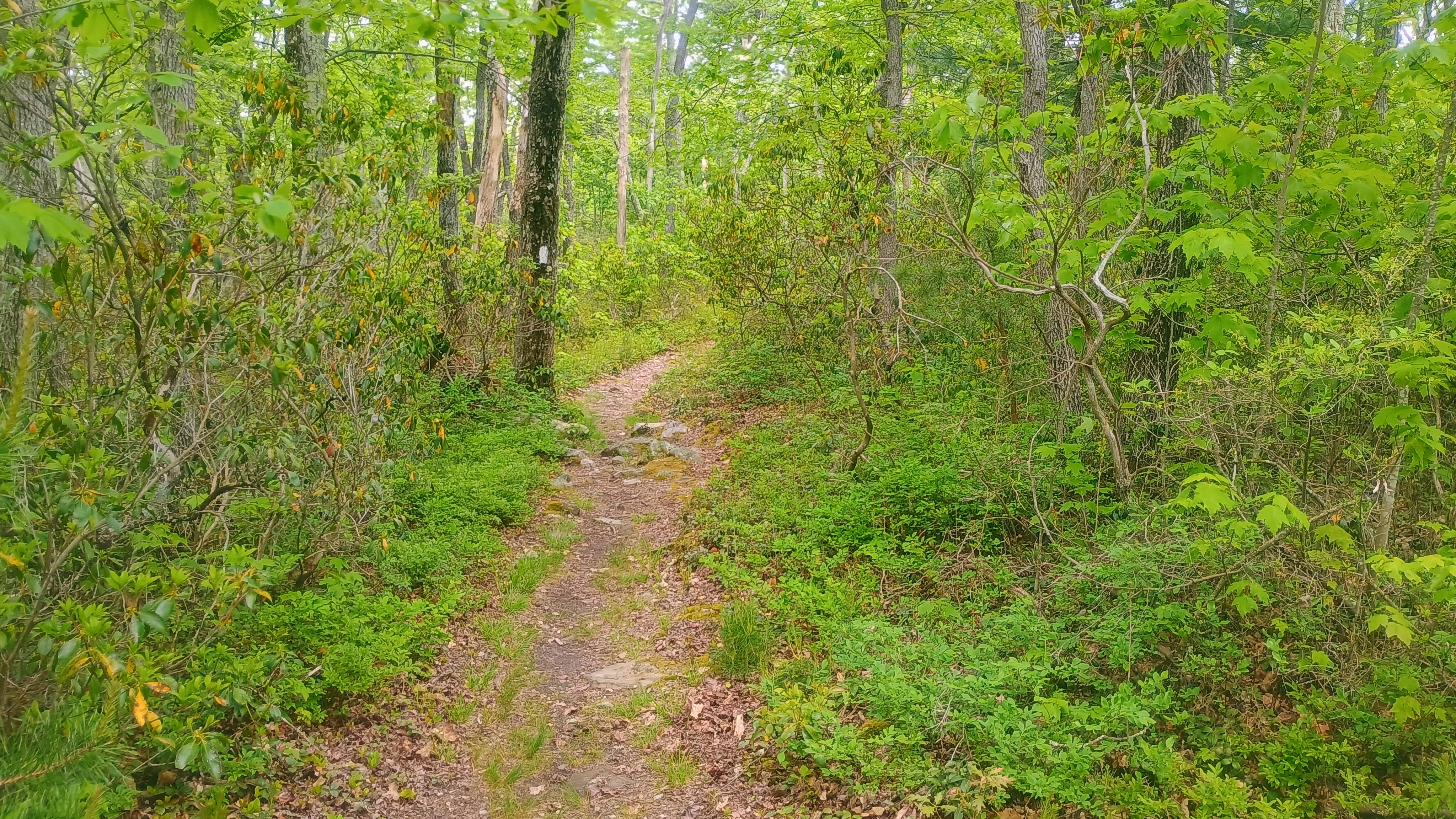
Peeking at the Appalachian Trail for good measure.

I set up my wire along the trail and got calling. Conditions were more settled after yesterday’s minor geomagnetic storm. I managed to get a couple S2S, WW7D on W7W/SNM-163 and AC7MA on W7W/CW-061. The Pittsburgh area SOTA afficionados tried to connect on 40m, but had trouble hearing me. I tuned my KX2 to 60m and managed to work Dan NM3A with a very strong signal, both of us using ~9W. He was using a 160m Carolina Windom antenna while my KX2 tuner got my end-fed 40m inverted vee to 2:1 SWR. I also was able to hear N2GBR, but he could not hear me. This has got me thinking about how to better weave 60m into my standard operating procedure now that the best days of Cycle 25 are behind us and it’s a long decline ahead.

This makes 39 completes! I have my eyes on Cornell Lookout near Lancaster for my 40th complete tomorrow, but it’s looking like a wet morning. I think I’ll stick it out — it’s not often that I find myself in eastern PA!

  • Trailhead: 39.97456, -77.46599 : Dug Hill Trail
  • Maps: [AA3TZ SOTA] [Michaux State Forest Map]
  • Route: Drive-on. I hiked along Dug Hill Trail for just over 100m to get within 100 feet of the Appalachian Trail.
  • POTA: US-4556 Appalachian Trail National Scenic Trail; US-5471 Michaux State Forest

W3/PD-007 Snowy Mountain

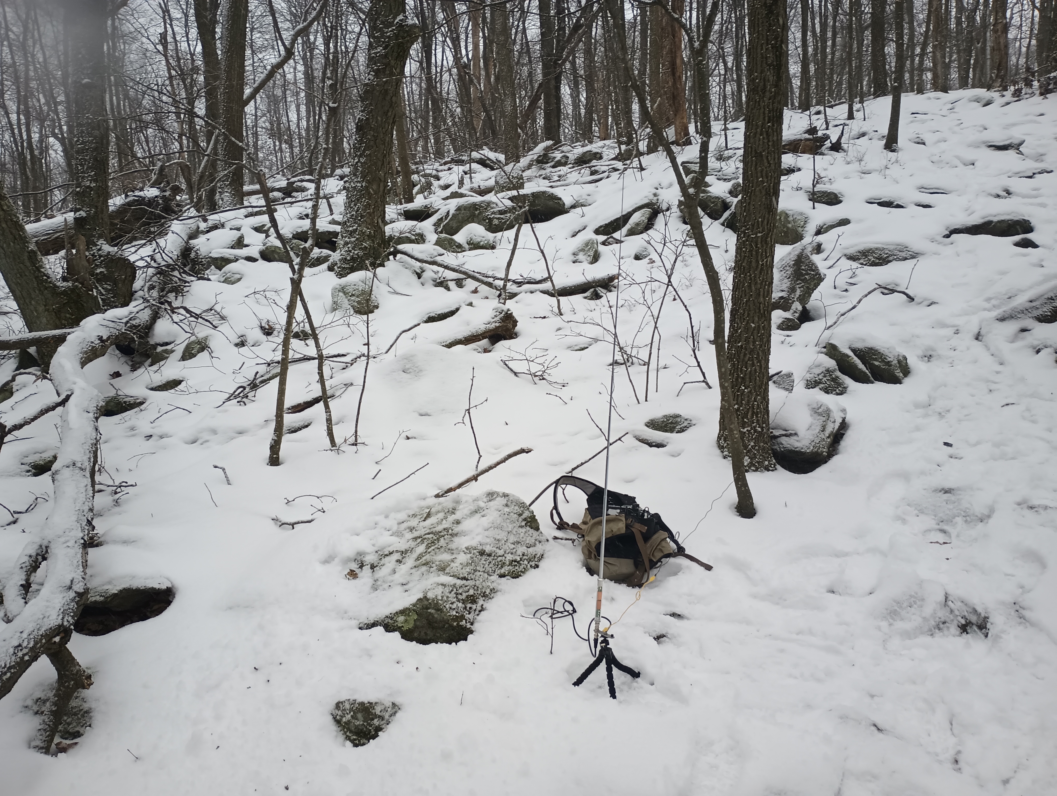
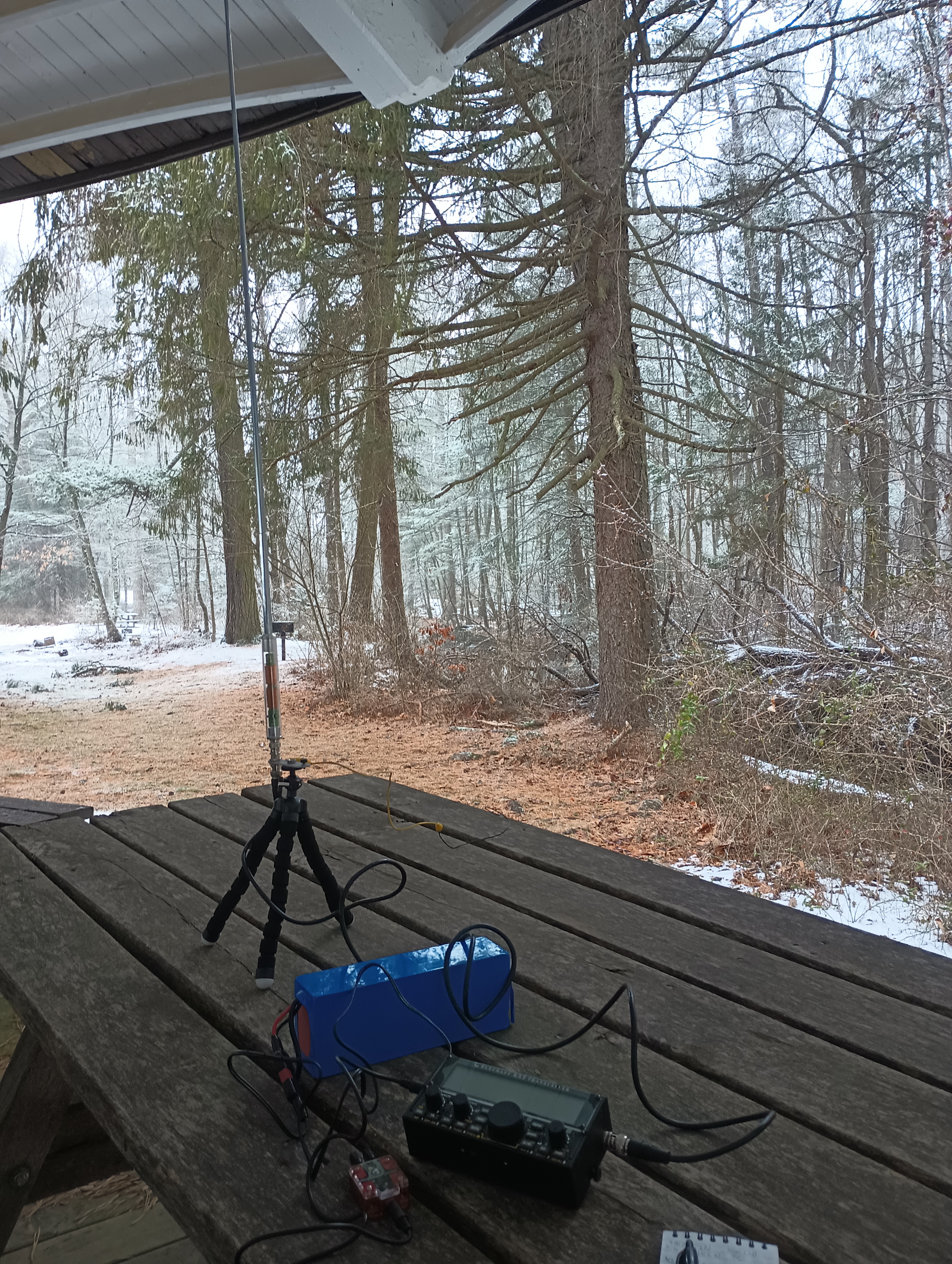
I went in Gettysburg, PA for a personal mini-retreat after the semester’s first week wrapped. A winter storm was coming through, so I tried to get an early start to tackle a group of SOTA/POTA sites. This my first time trying out the AX1 portable vertical antenna for quicker set up and pack up process than putzing around with my arborist’s throw line and end fed wire. Snowy Mountain in Michaux State Forest was first on the list.

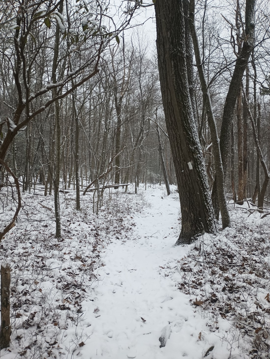
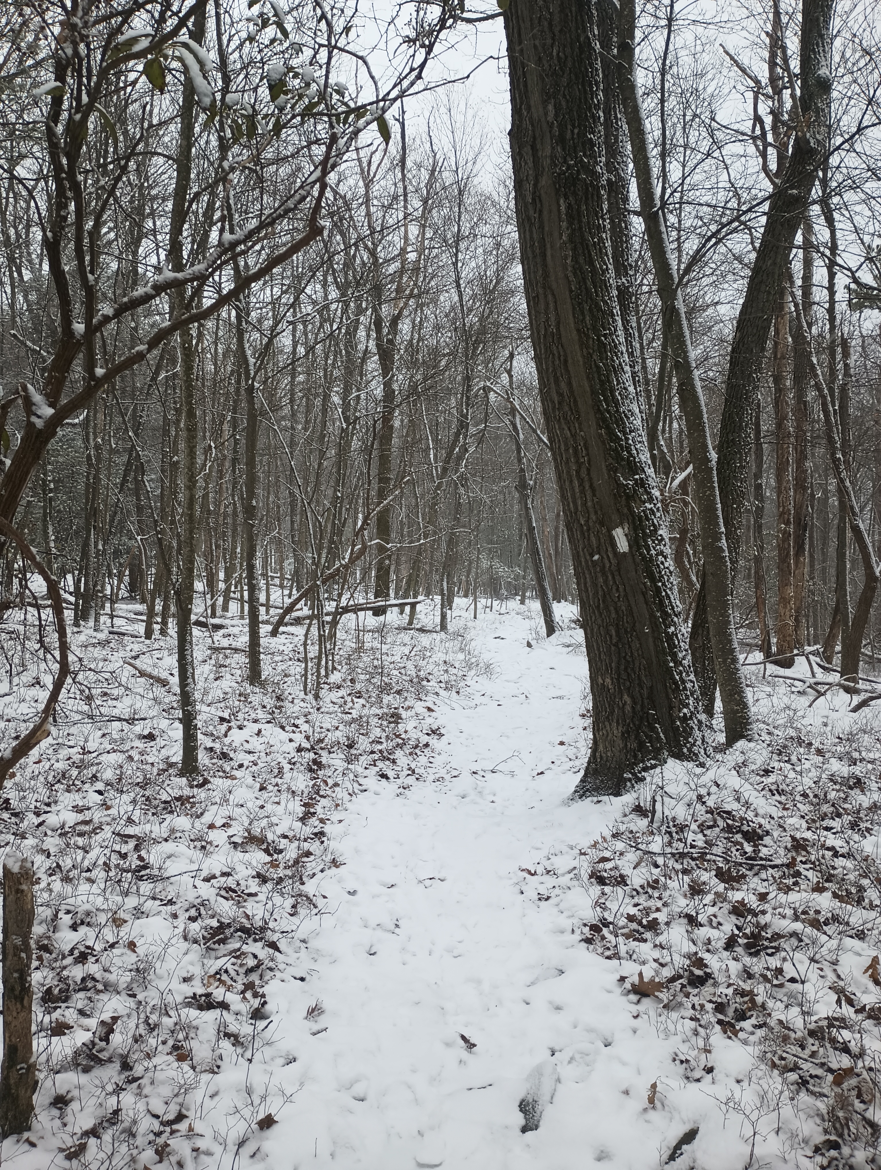
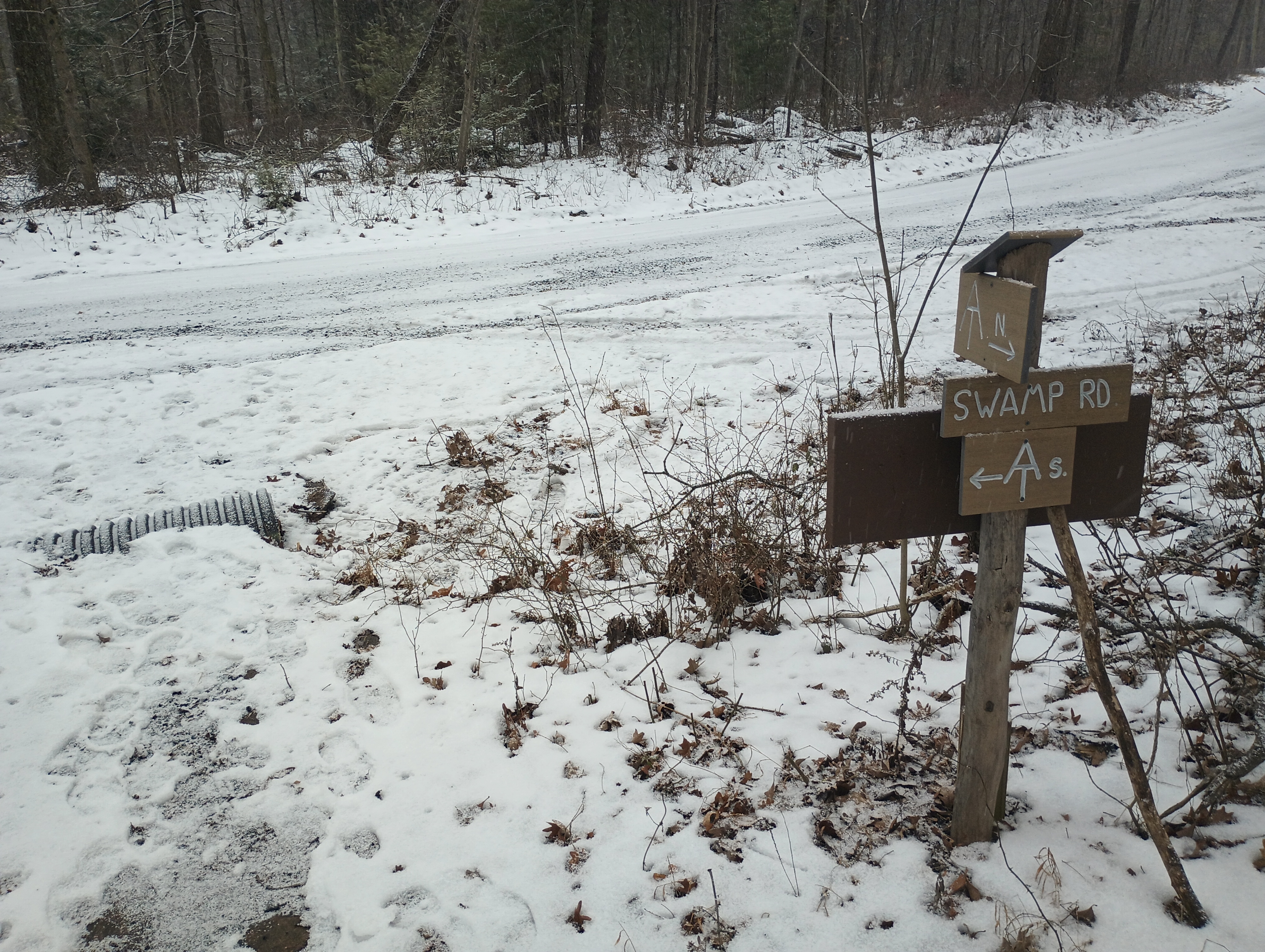
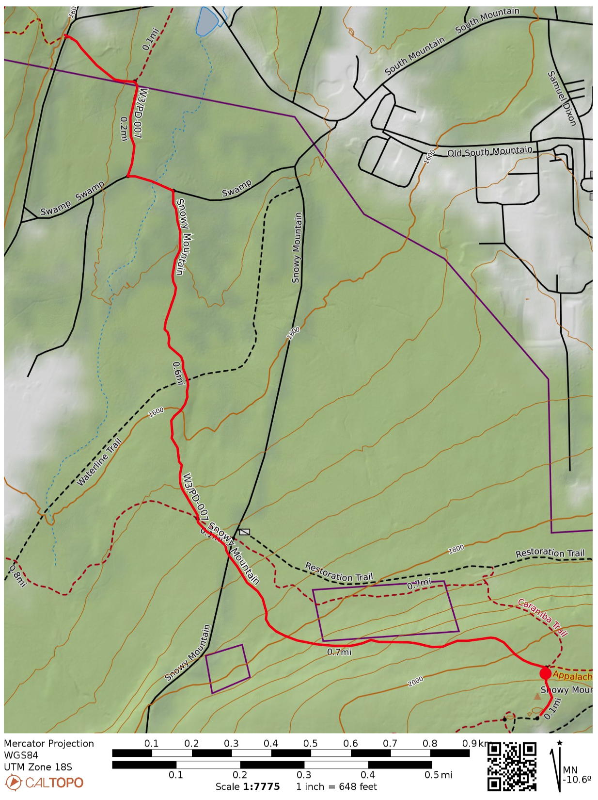
I did not want to drive up snowy forest roads, so I decided to hike in along the Appalachian Trail. I parked at the trailhead on PA 233, which has room for a couple cars. Shortly into the hike, the AT briefly continues along Swamp Rd, then winds on through the forest.

A runner mysteriously materialized, and somehow passed me twice during the 1.6 mile hike. I also saw a hawk carry a squirrel away for a meal. Other than those wildlife sightings, it was a serene and quiet winter hike.

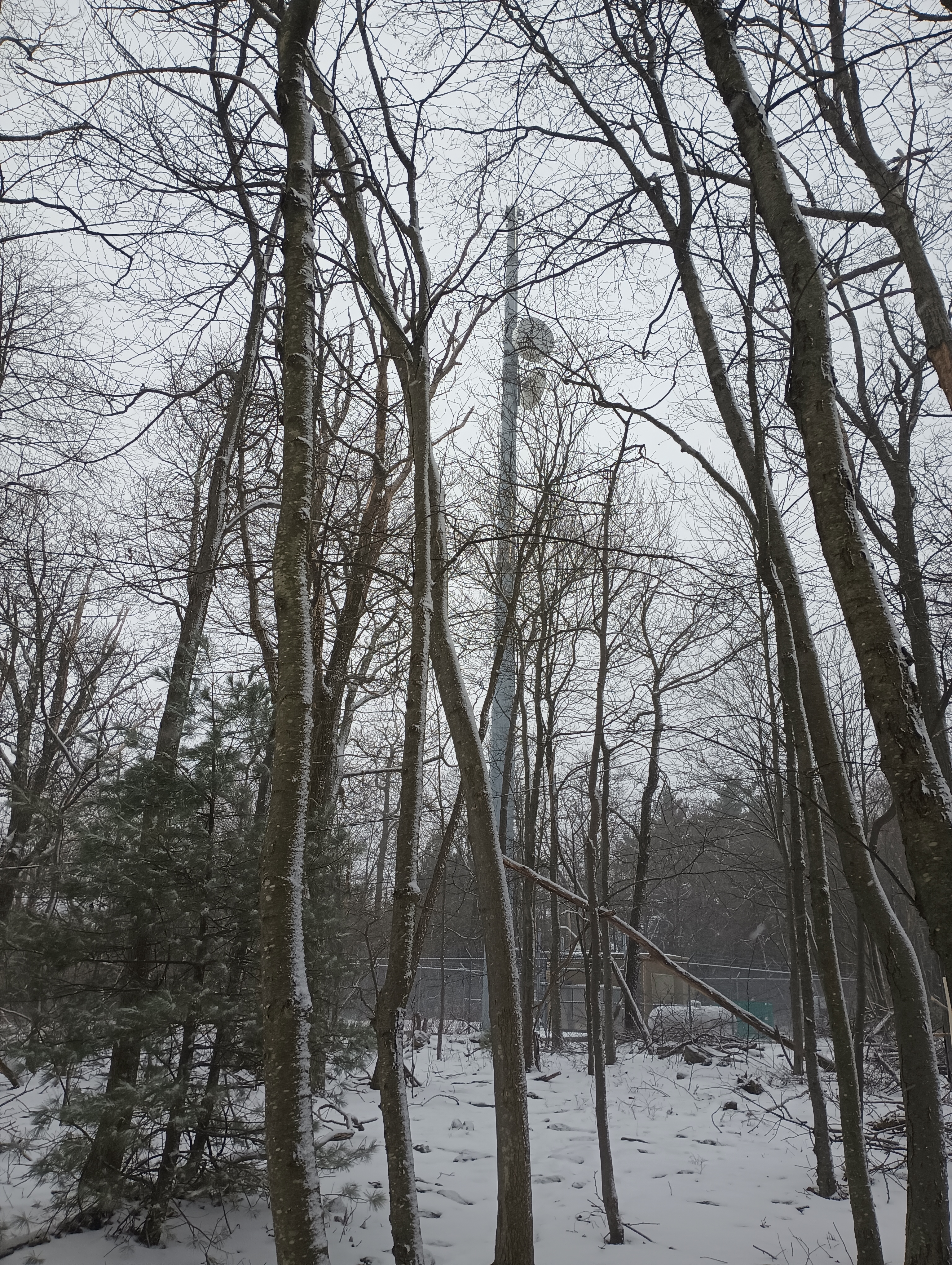
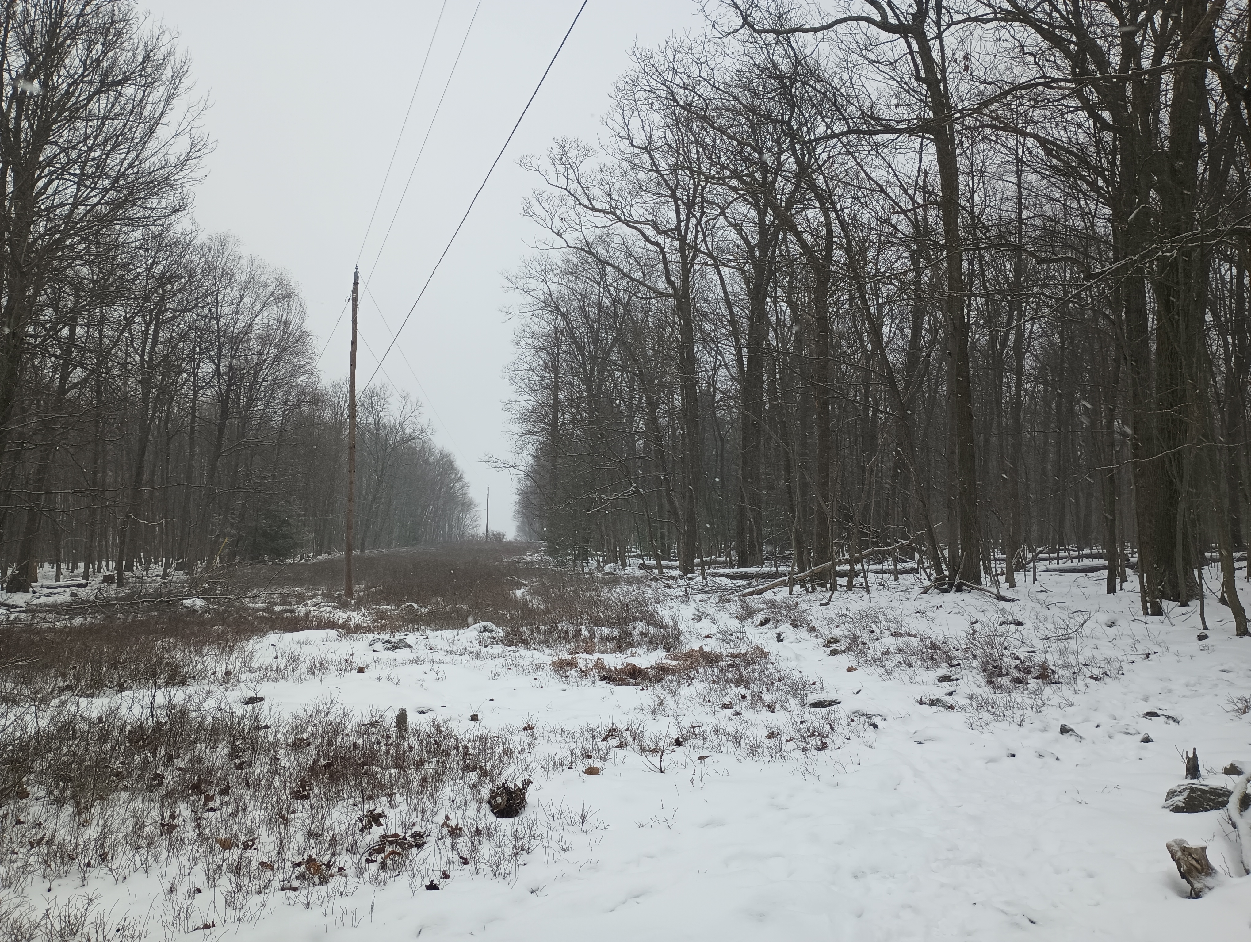
The last half of the hike came with 500 feet of climb. At the end, a powerline cut crosses over with the AT, and a short segment of the Caramba Trail continues due south to the peak, where a couple radio towers stand. The trail appears to be just inside in the activation zone, but I opted to set up about 50 feet up the path to the summit where I found a rock to sit on. At this point, the snow was really coming down in large, wet flakes, so I was eager to get started.

The AX1 worked well! I was spotted quickly on 20m and made 11 contacts in about 20 minutes. By then, everything was starting to get wet and full of snow. Packing up was where the AX1 really shined, with the whole kit stowed away in just a couple minutes.

  • Trailhead: 39.84973, -77.50879 : Appalachian Trailhead Parking: PA 233 Rocky Mountain Rd
  • Maps: [AA3TZ SOTA] [Michaux State Forest Map]
  • Route: 3.2 mi out-and-back, following the Appalachian Trail
  • POTA: Appalachian National Scenic Trail (US-4556); Michaux State Forest (US-5471)

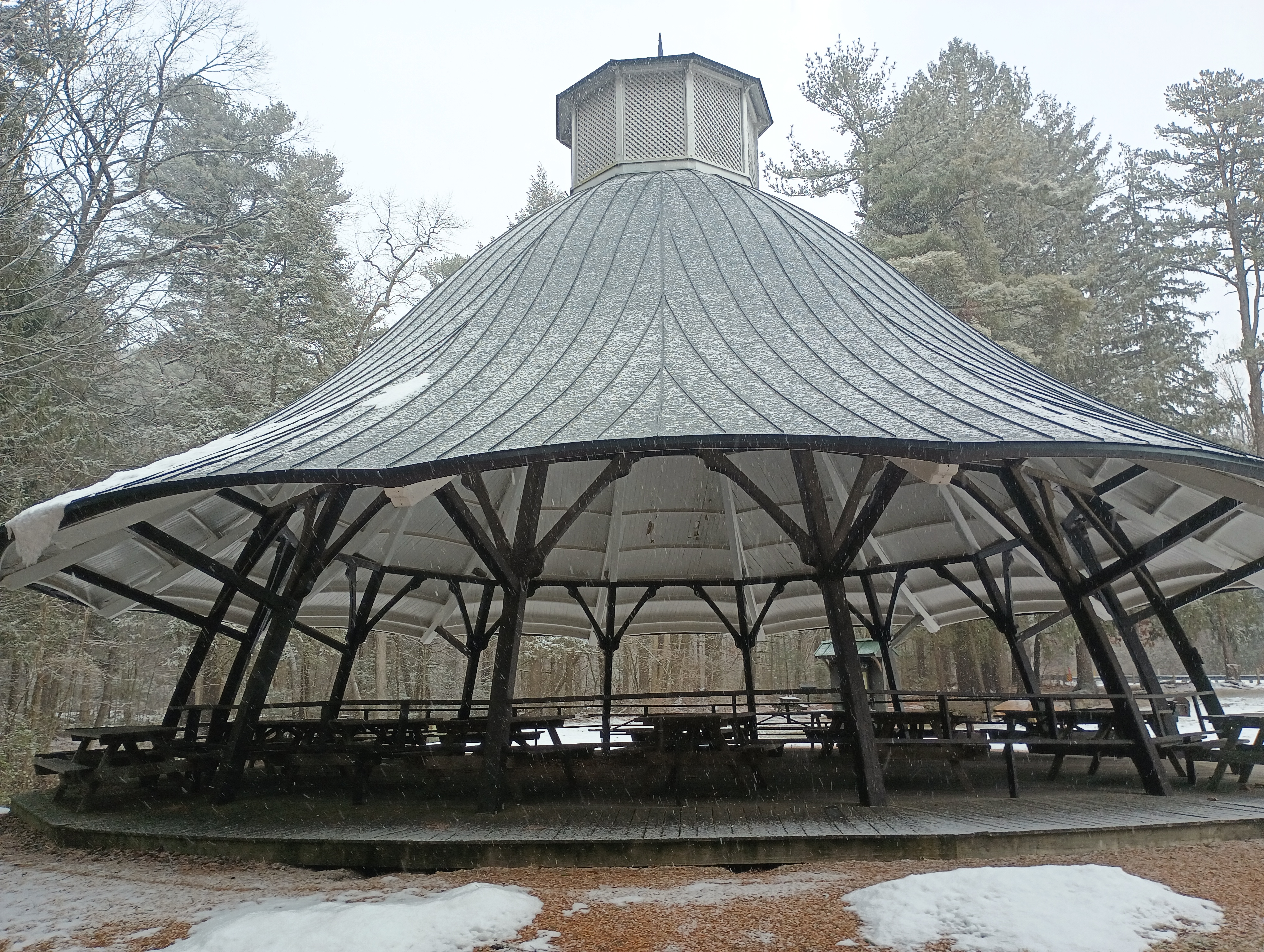
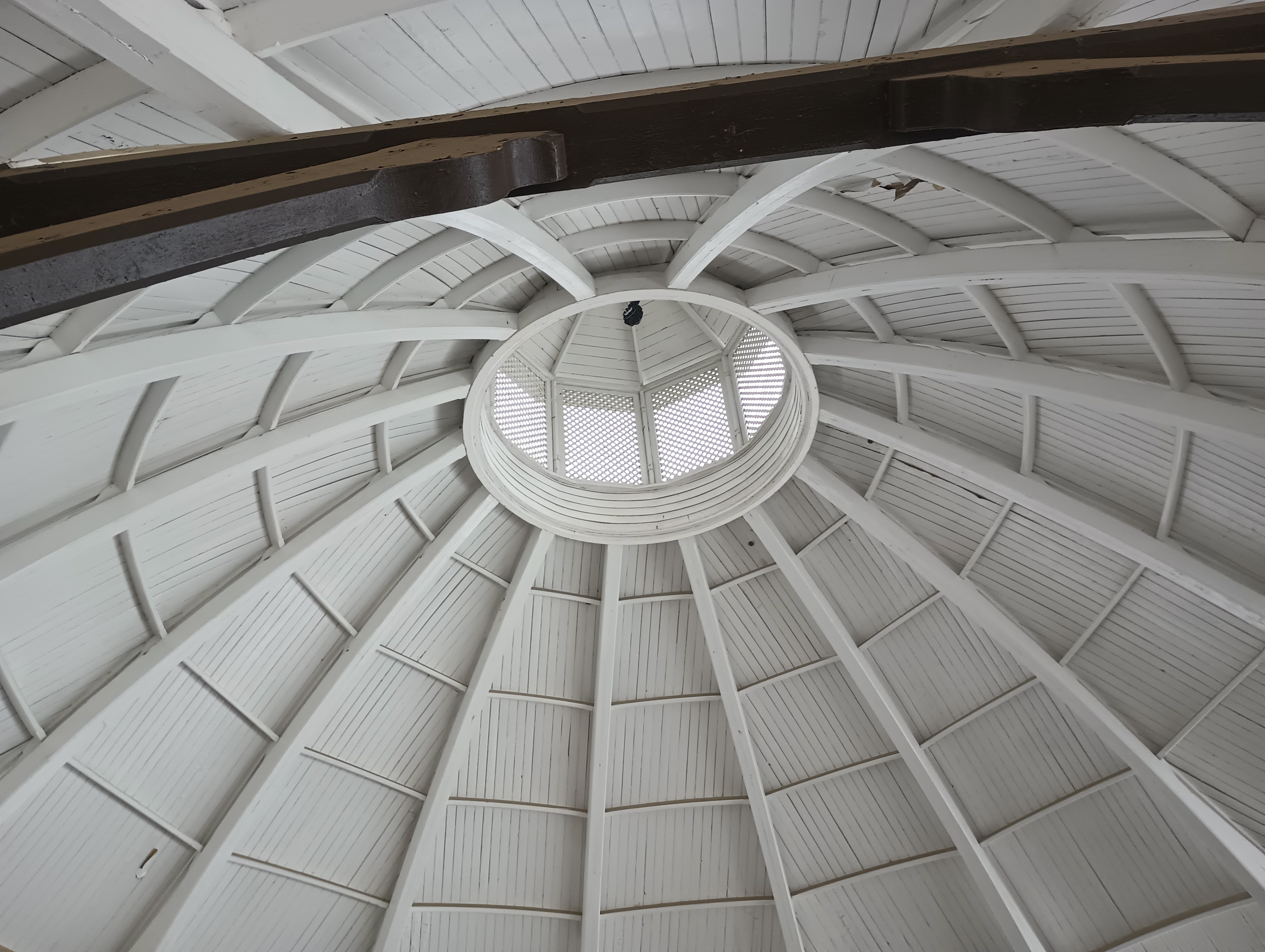
Mont Alto State Park (US-1386) is just over 3 miles down PA 233, so I added this POTA activation to the trip. Mont Alto is the oldest PA state park, and started (as many PA parks in this area) as an iron furnace. The main feature here was a large picnic pavilion (formerly a carousel house) that was an ideal place to set up. I worked this one a little longer due to the shelter keeping things dry, and logged 40 QSOs on 20m CW before calling it quits.

It was on to the next peak: Big Mountain.