
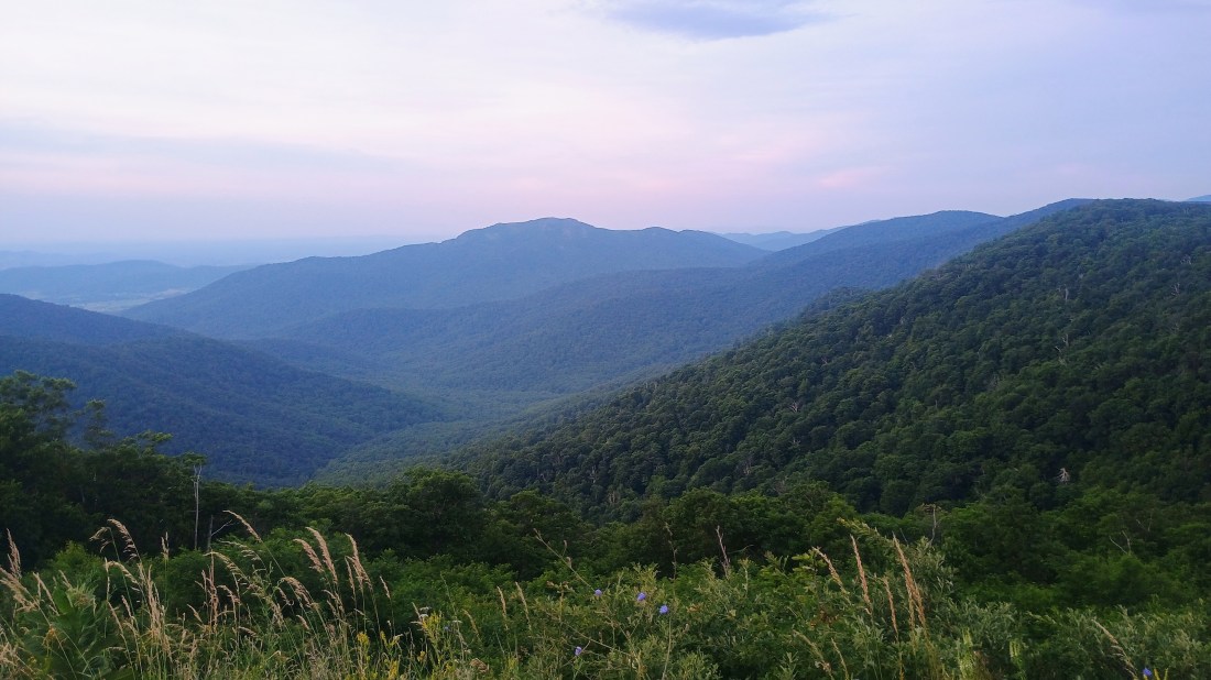
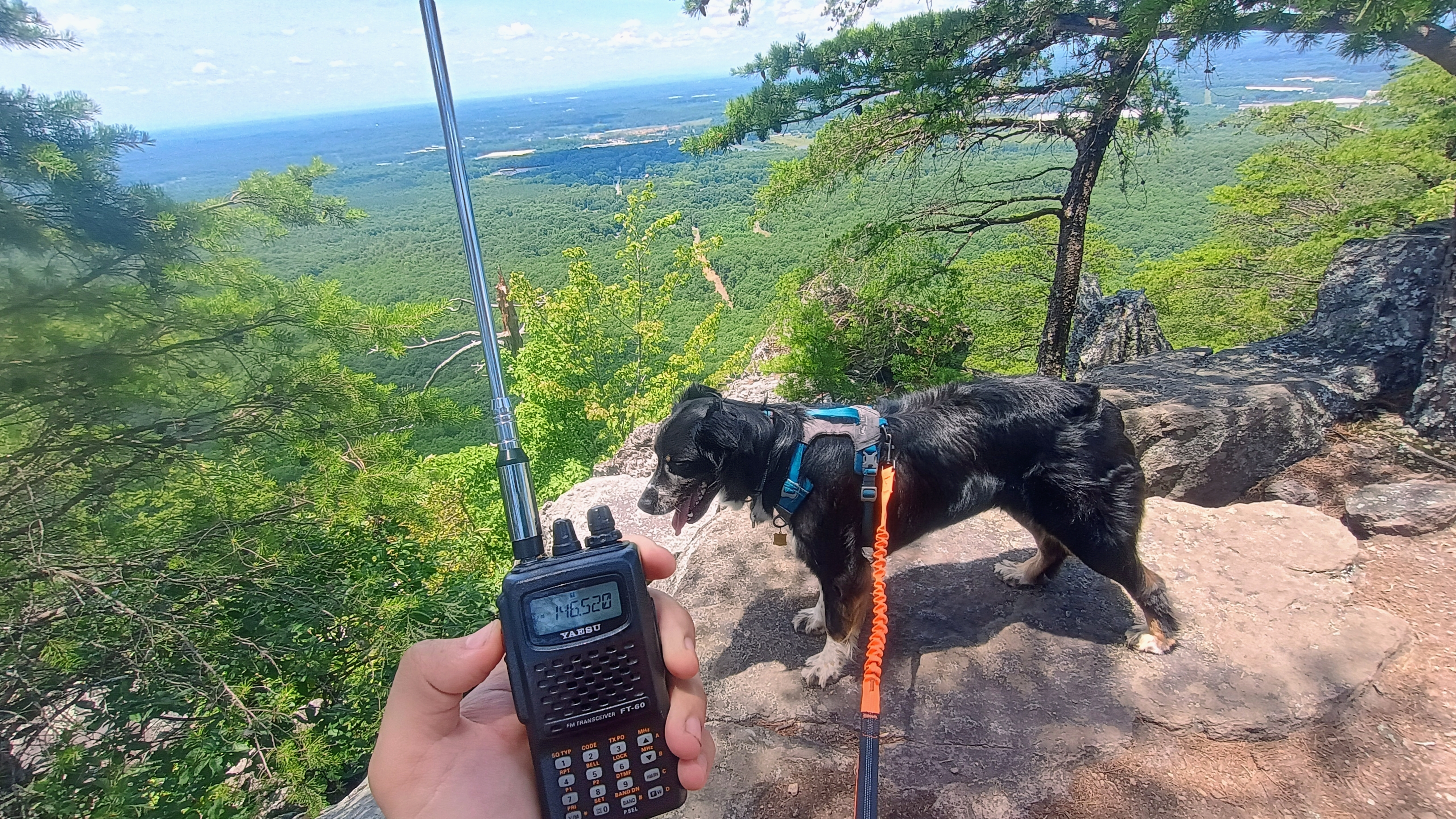
I haven’t been participating in the SOTA 2m weak signal mode challenge so far this year, since I seldom even get any 2m FM contacts in western PA. On the way back from Charlotte, we stopped for a couple days in Shenandoah National Park and some of my experiences there got me thinking that I should be putting a bit more of an effort into VHF ops. I brought a NR7Y-modded K1 Quansheng, a 3-element arrow Yagi-Uda, and my classic FT-60R with a long-ranger half wave whip. I had good results taking on some of the peaks off of Skyline Drive in SNP and engaging with the VHF SOTA chasing community out there.
Roy WN3F recommended a list of W4V Skyline Drive summits that he did in one day in early March: Hawksbill (SH-001), Stony Man (SH-002), The Pinnacle (SH-005), Hogback Mountain (SH-007), and North Marshall (SH-009). I have chased three of these, so this trip put some more completes in my SOTA annals.
June 25: Hawksbill and Stony Man
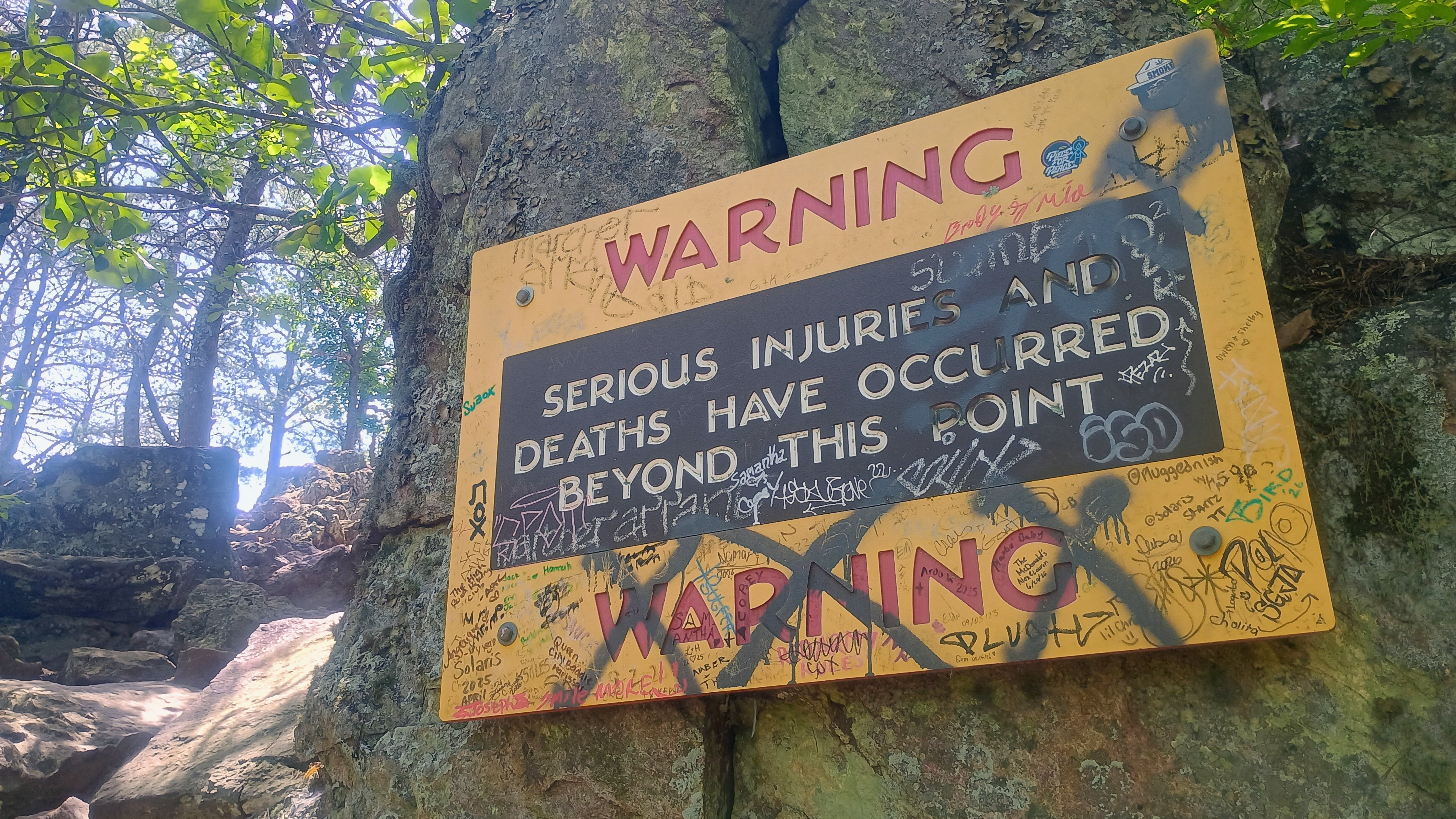
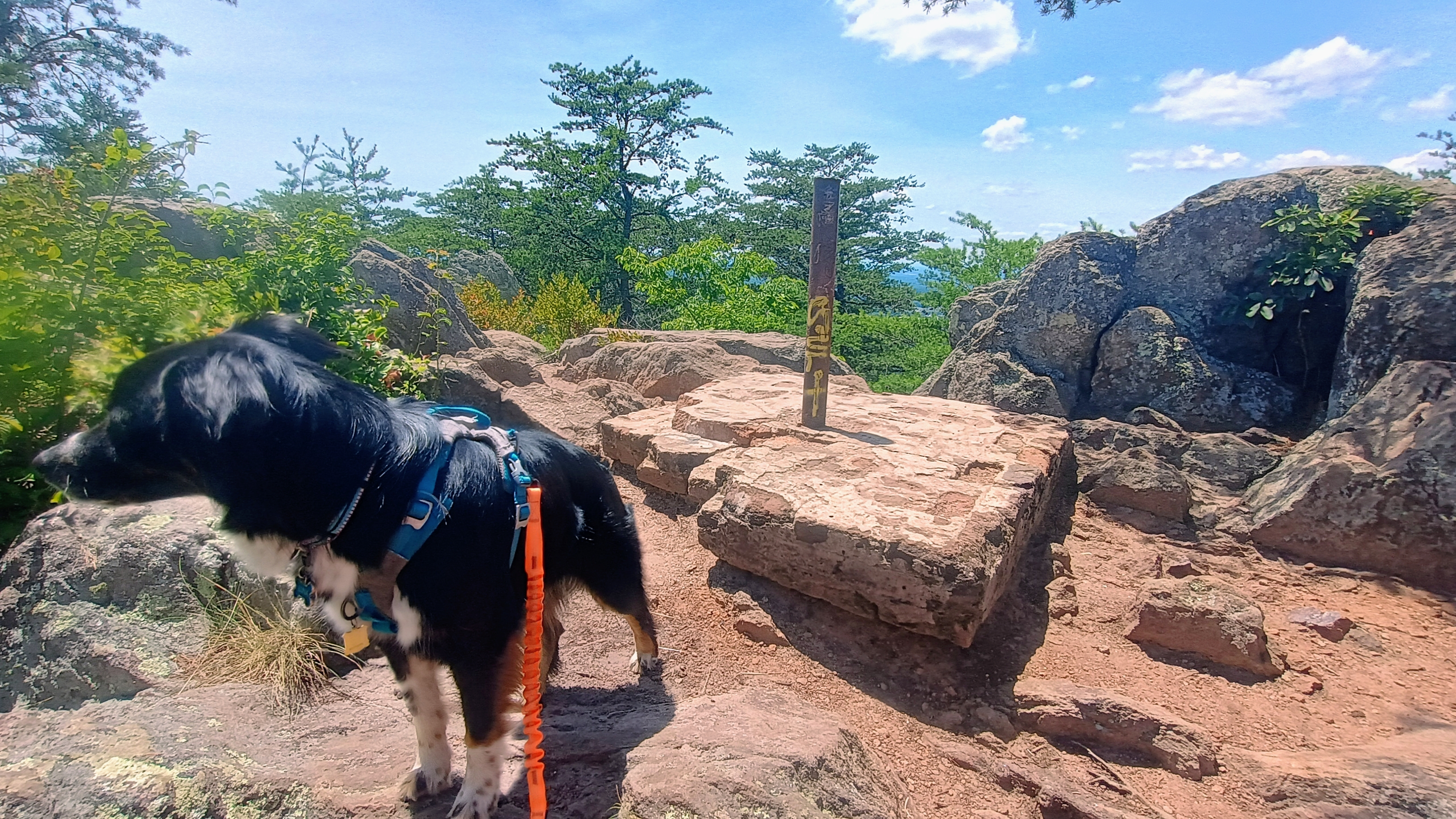
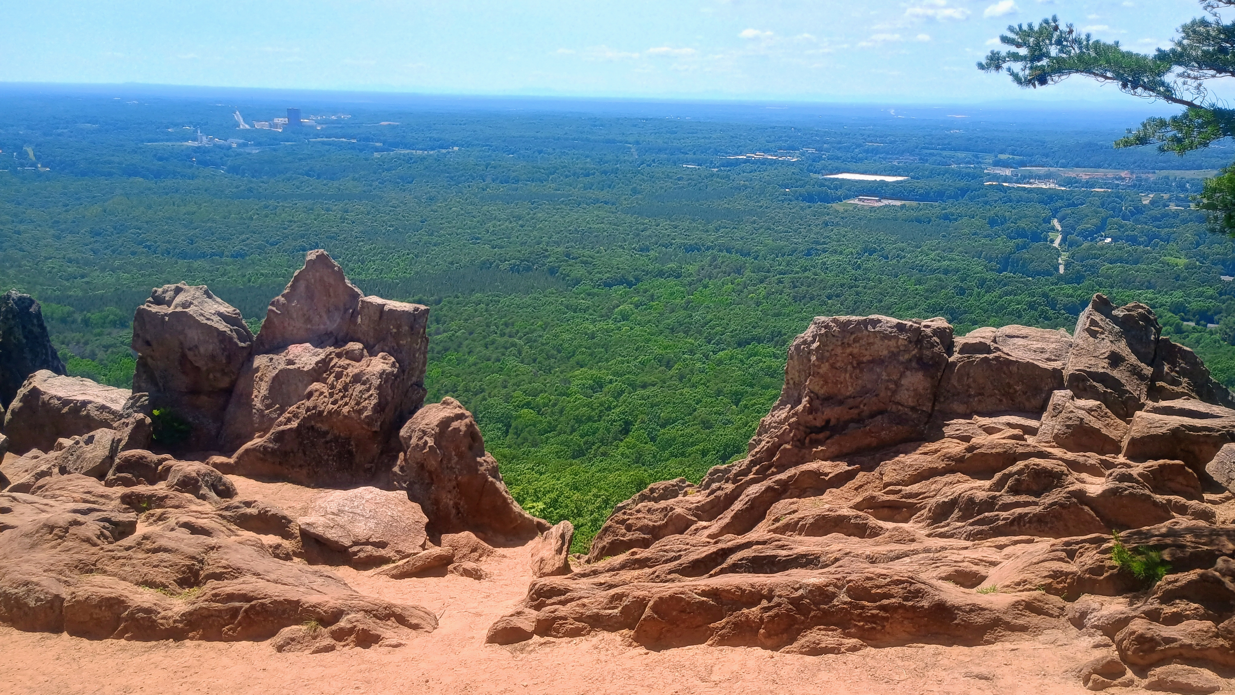
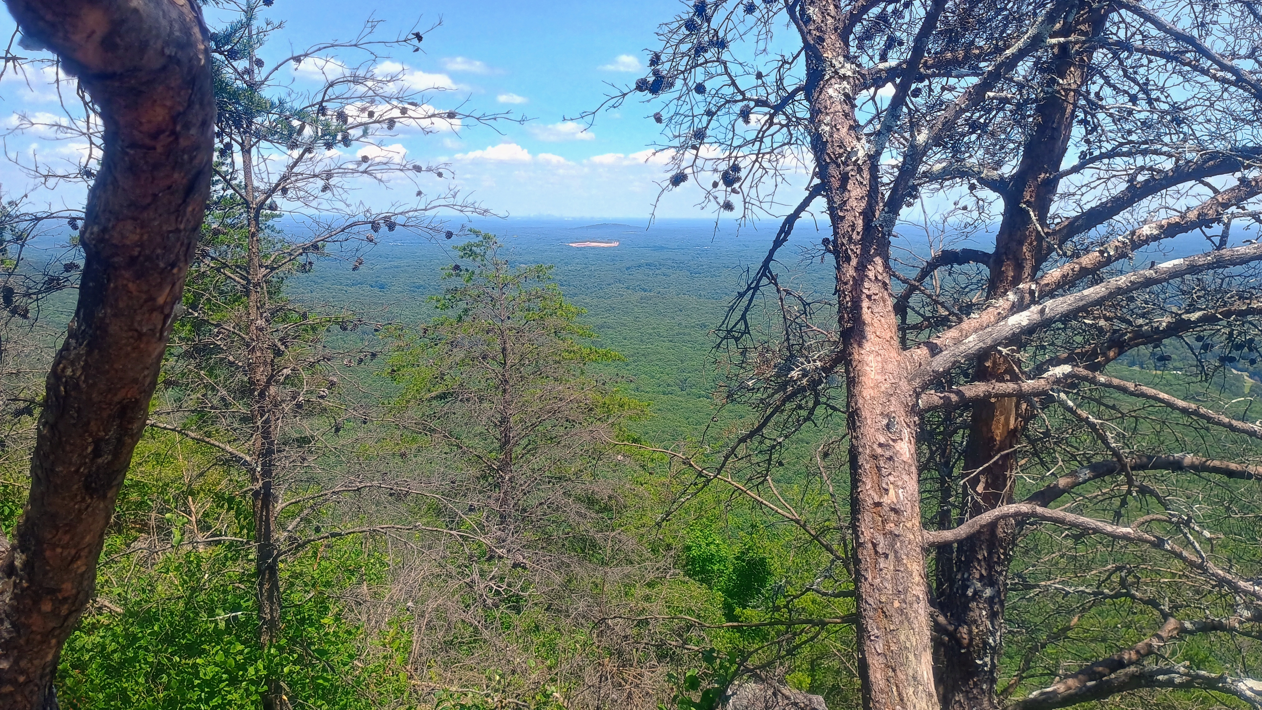
On the first afternoon, I opted for Hawksbill and Stony Man, since these are two of the more popular hikes in SNP. Just a mile of hiking along the Hawksbill trail and I was at the summit area. Many people were climbing around the rocks, so I tried to find a place a bit away from the observation deck to keep my end fed wire out of the way. The view was terrific, but my operating spot may not have been ideal for VHF, since I had forest blocking my way to the east where the most active chasers are.
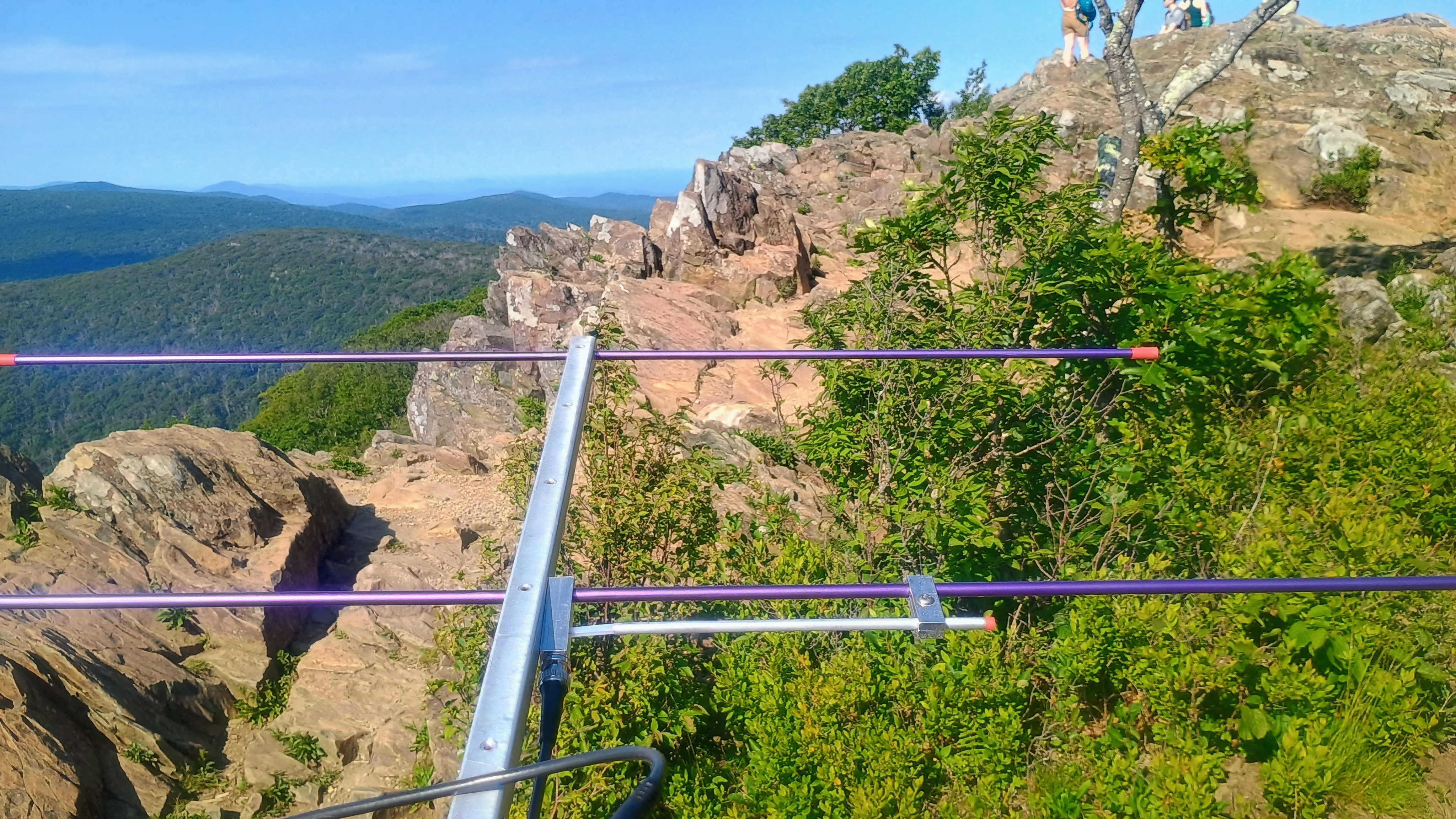
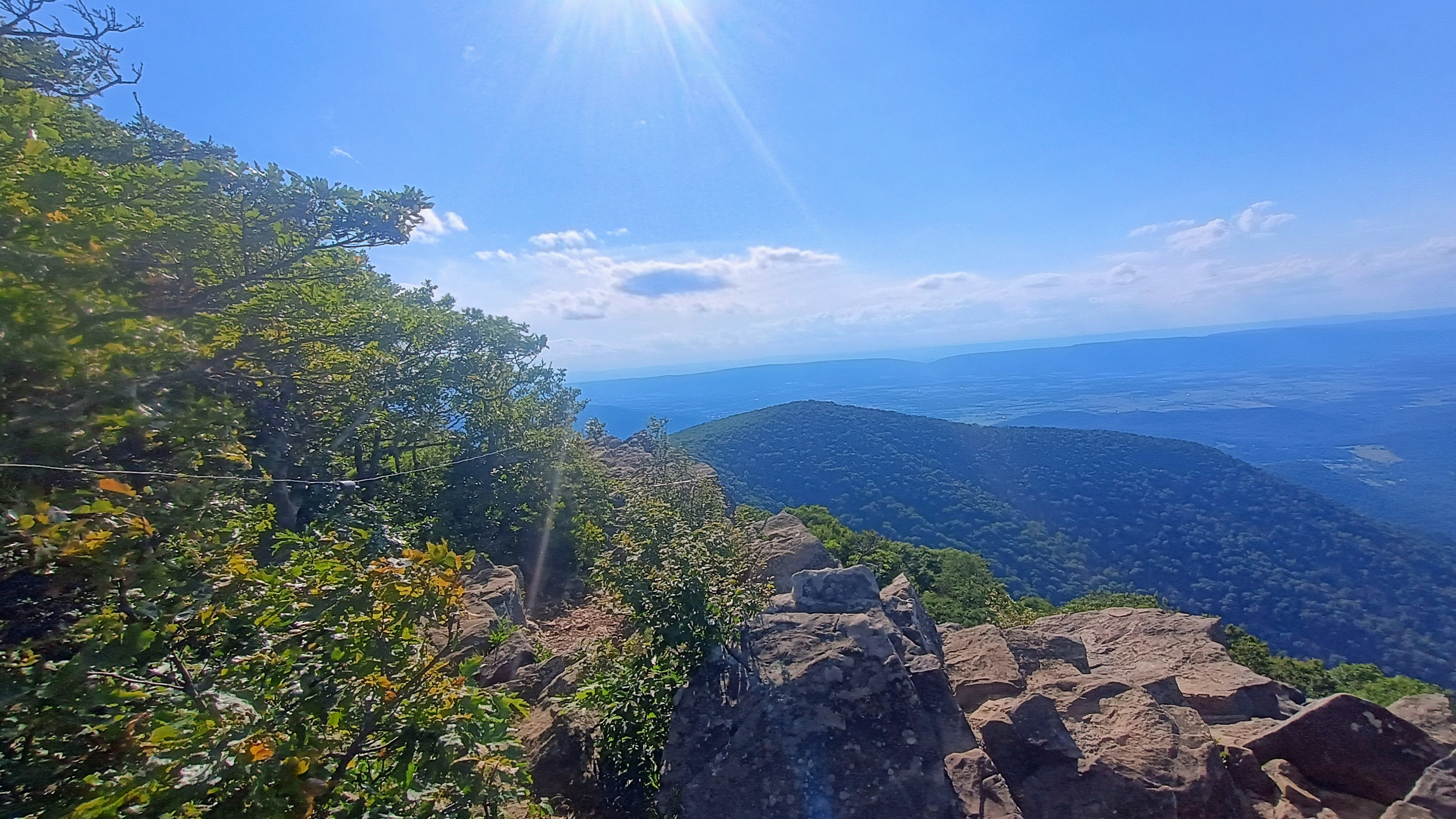
I pointed my 2m beam east and with horizontal orientation, thankful for the memory keyer feature on the NR7Y firmware. Moments later, I got both KK4UZK and W4GO calling me. Matt W4GO runs an RBN from his home QTH under his wife’s call KK4HHP which picked me up immediately and made it very easy to rustle up 2m contacts throughout this trip. Jordan KK4UZK later shared that he worked me on a 5-element tape measure Yagi. I also got W4VIG and K4ET on 2m FM. I then wrapped the activation on HF and worked a couple S2S on 20m: WB7BWZ on W7M/FN-184 and K6EL on W6/NC-423.
Reunited with Luna, I hurried on towards Stony Man. Stefanie hung out at the Skyland lodge and kept the FT60 to be one of my QSOs. I was running out of time because partway into the hike I found out that the Stony Man trail is one of the few in SNP that prohibits pets! After taking Luna back to the trailhead, I hustled up to the summit with 40 minutes left in the UTC day to do a 2m-only activation. The pressure was on! The sun was setting against the rocks and the light was perfect, and many hikers made it out to watch the remains of the day’s light. After taking in this sight, I doubled back to a trail junction with a horse hitching post and went down a side trail with nobody on it.
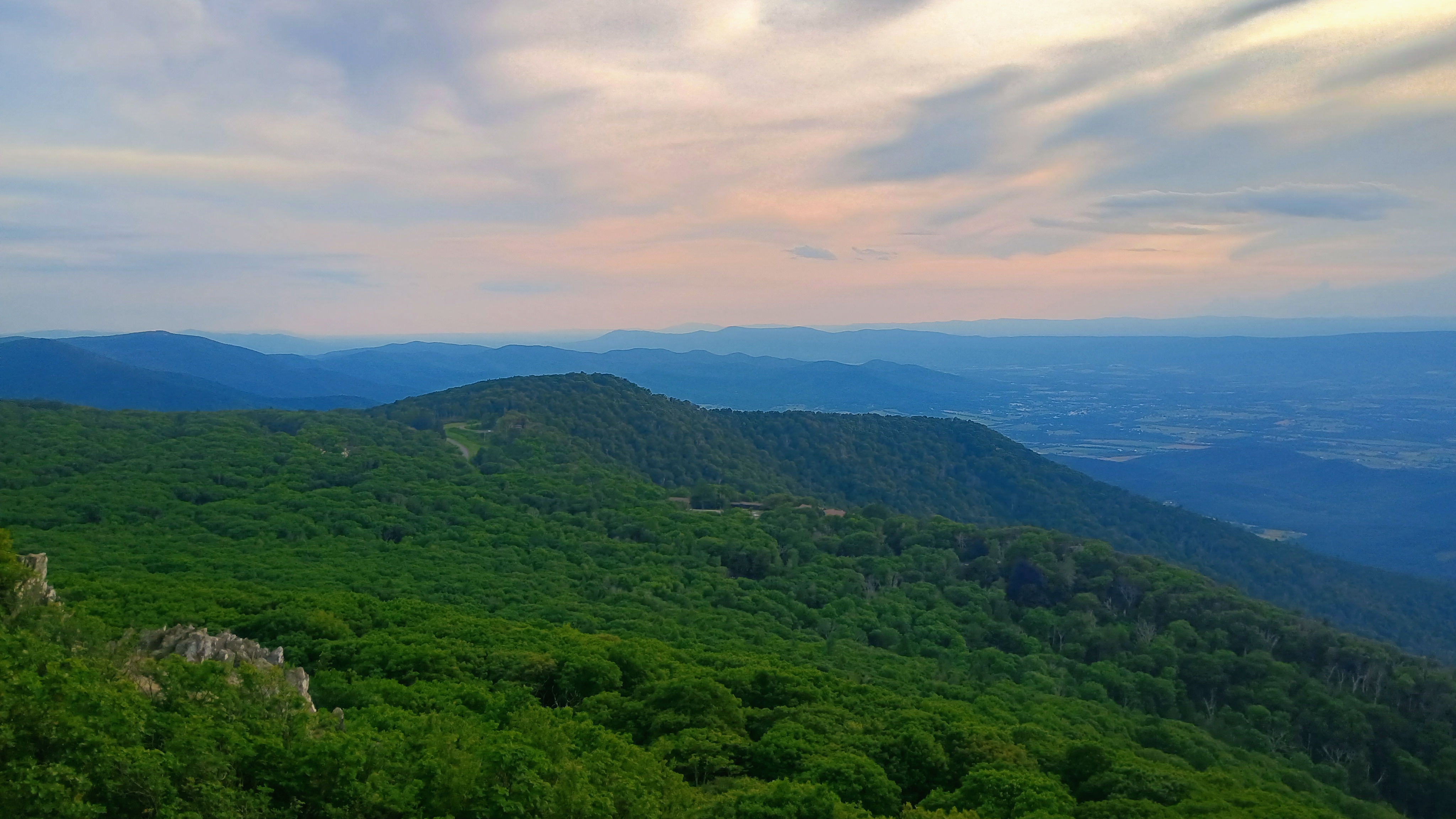
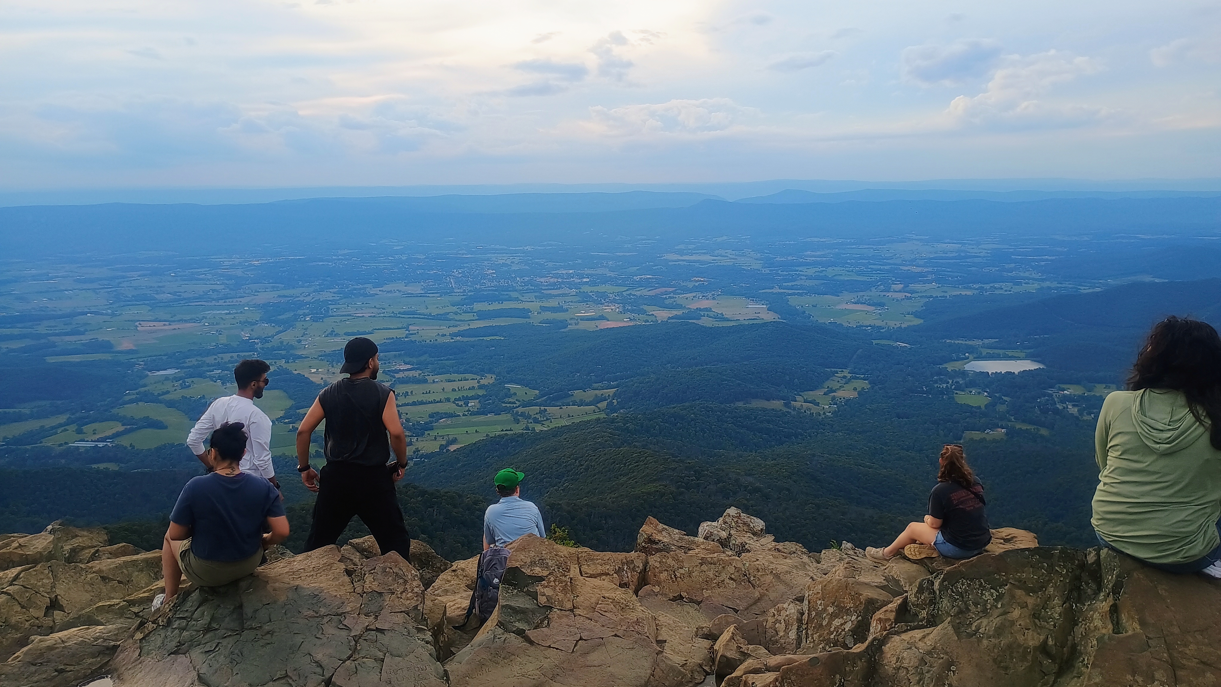
On 2m FM, I called Stefanie first, then worked a number of chasers, including N4QD and KE8YWV who were actually working Chris KI6CR on Mount Davis in PA! I couldn’t hear Chris, but it was cool to overhear the other side of these QSOs. I wrapped up with W4GO on 2m CW, and thus finished my first 2m-only SOTA activation in years with 7 QSOs in the log and 20 minutes to spare. I jogged down the half-mile return trail, past some deer coming out to graze so Stefanie, Luna, and I could make our way back to our room for the evening.
June 26: The Pinnacle and Hogback Mountain
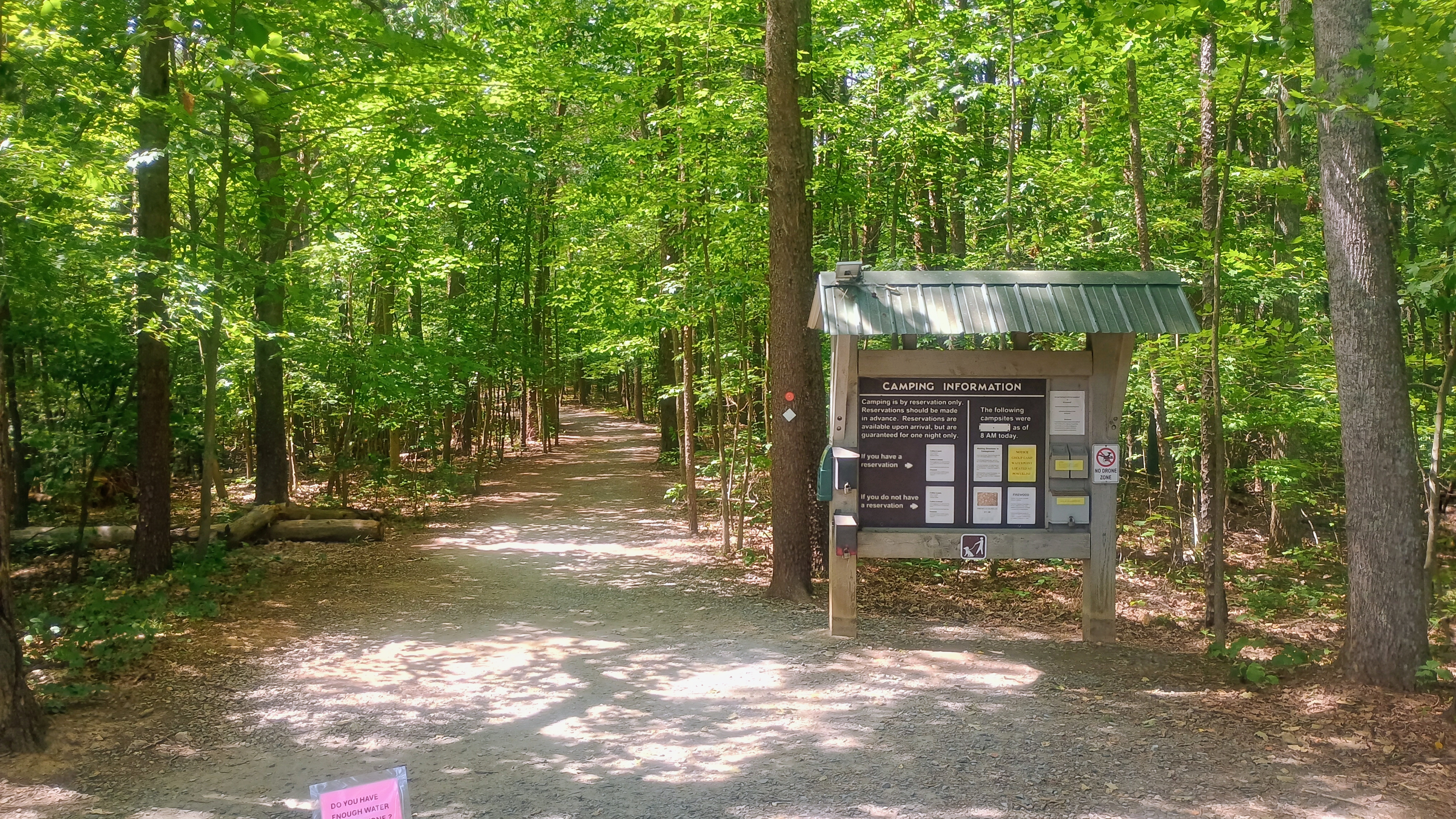
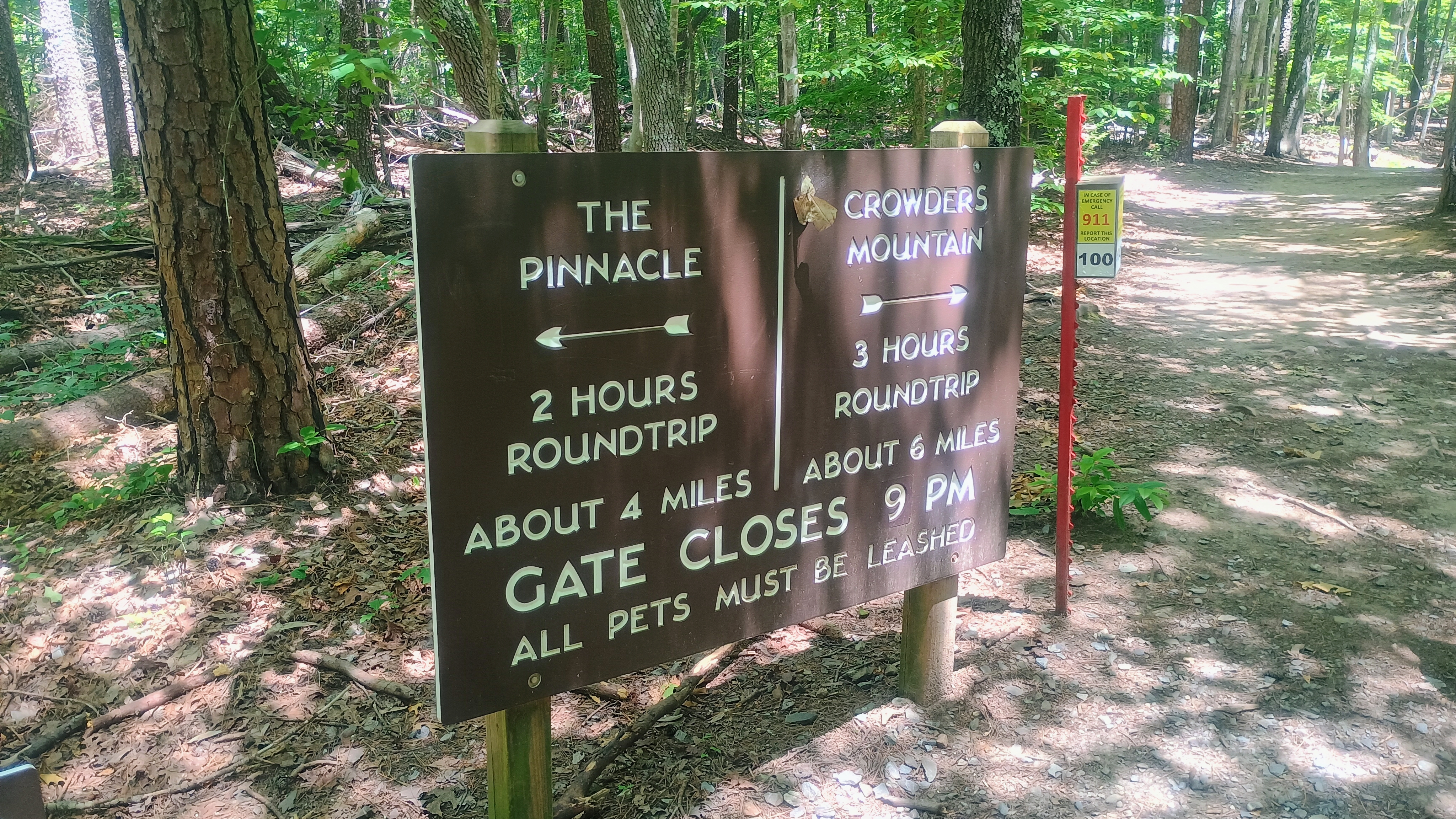
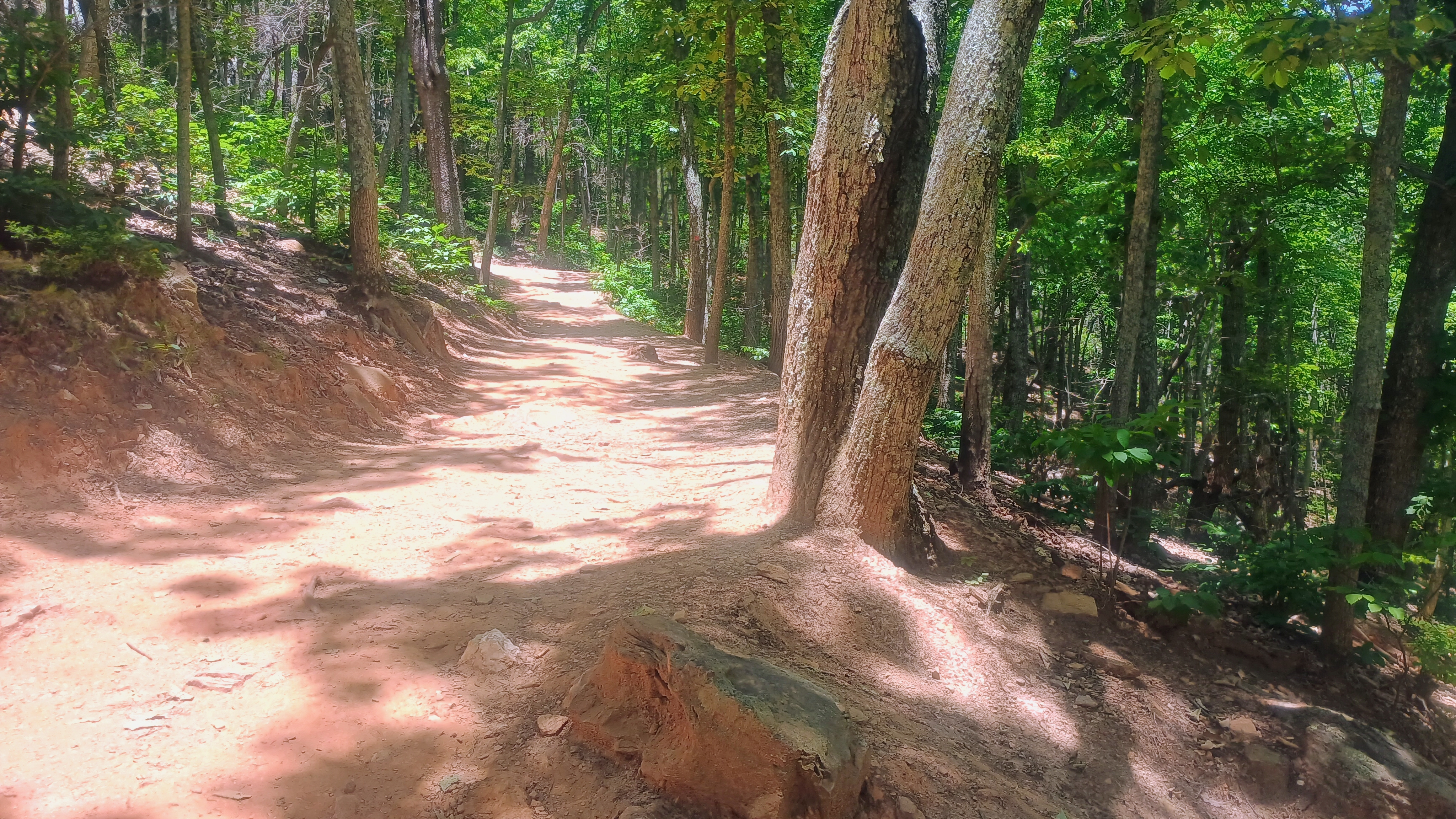
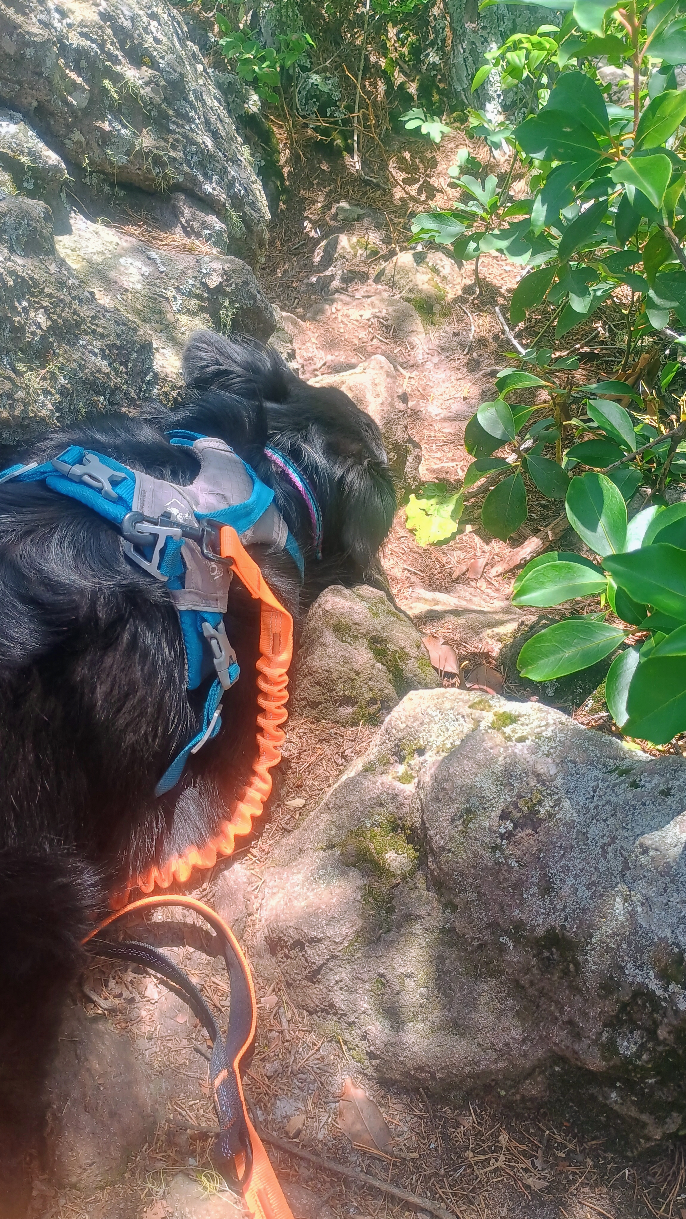
I took Luna out for an early morning drive to get to the trailhead for The Pinnacle, a hike along the Appalachian Trail just off Skyline Drive. I parked at the Jewell Hollow Overlook and we set off along a grassy spur trail until linking up with the AT.
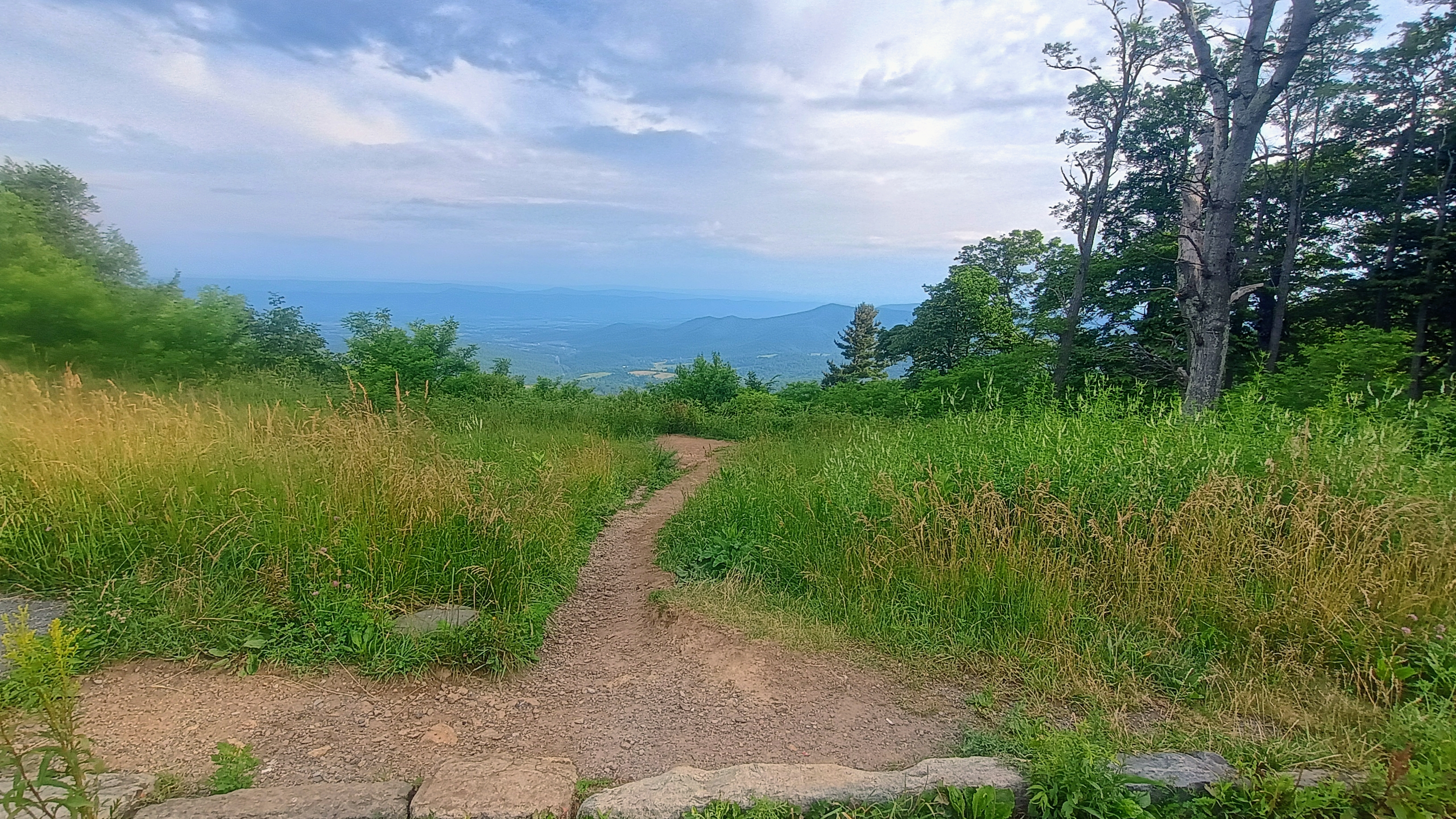
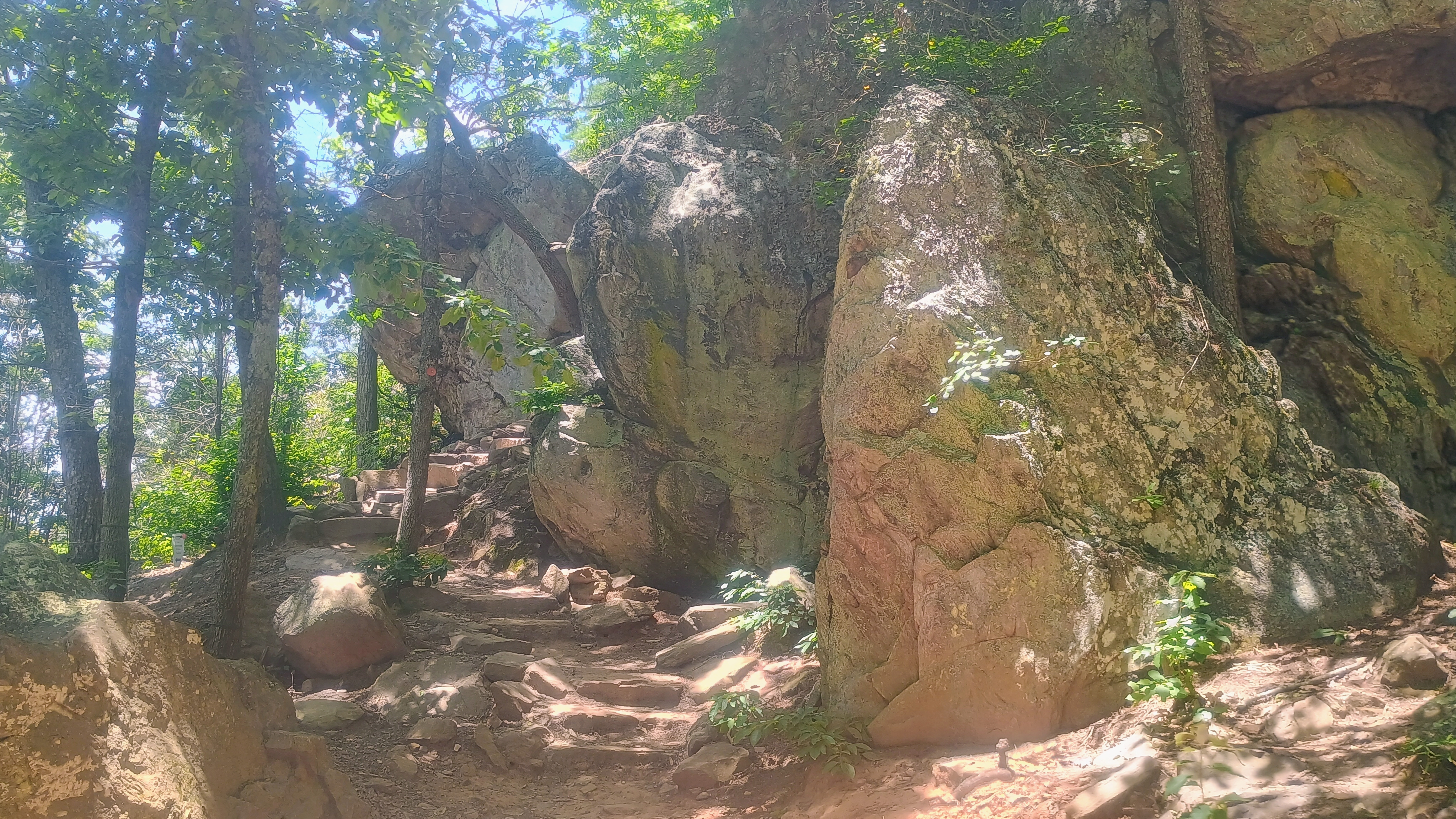
After following the AT for just over a half mile, we reached a group of rocks within the AT. Here, I called on 2m FM for a while, gathering a number of contacts before switching to 2m CW. Unfortunately, I left my key at the room, so the CW had to be sent with the side keys of the K1. It was tricky to do this well while holding the Yagi, but I was able to work W4VIG and W4GO with CW.
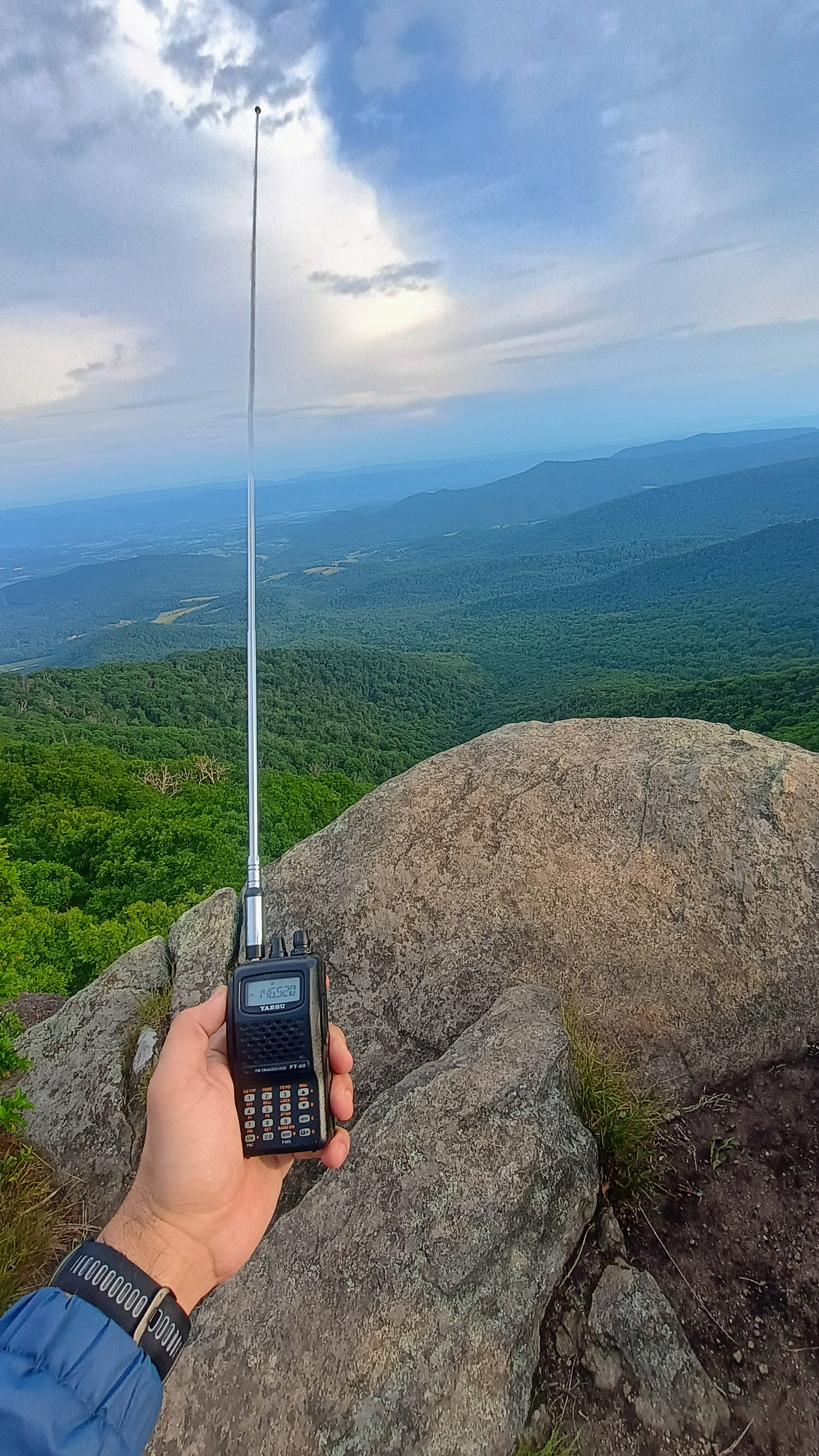
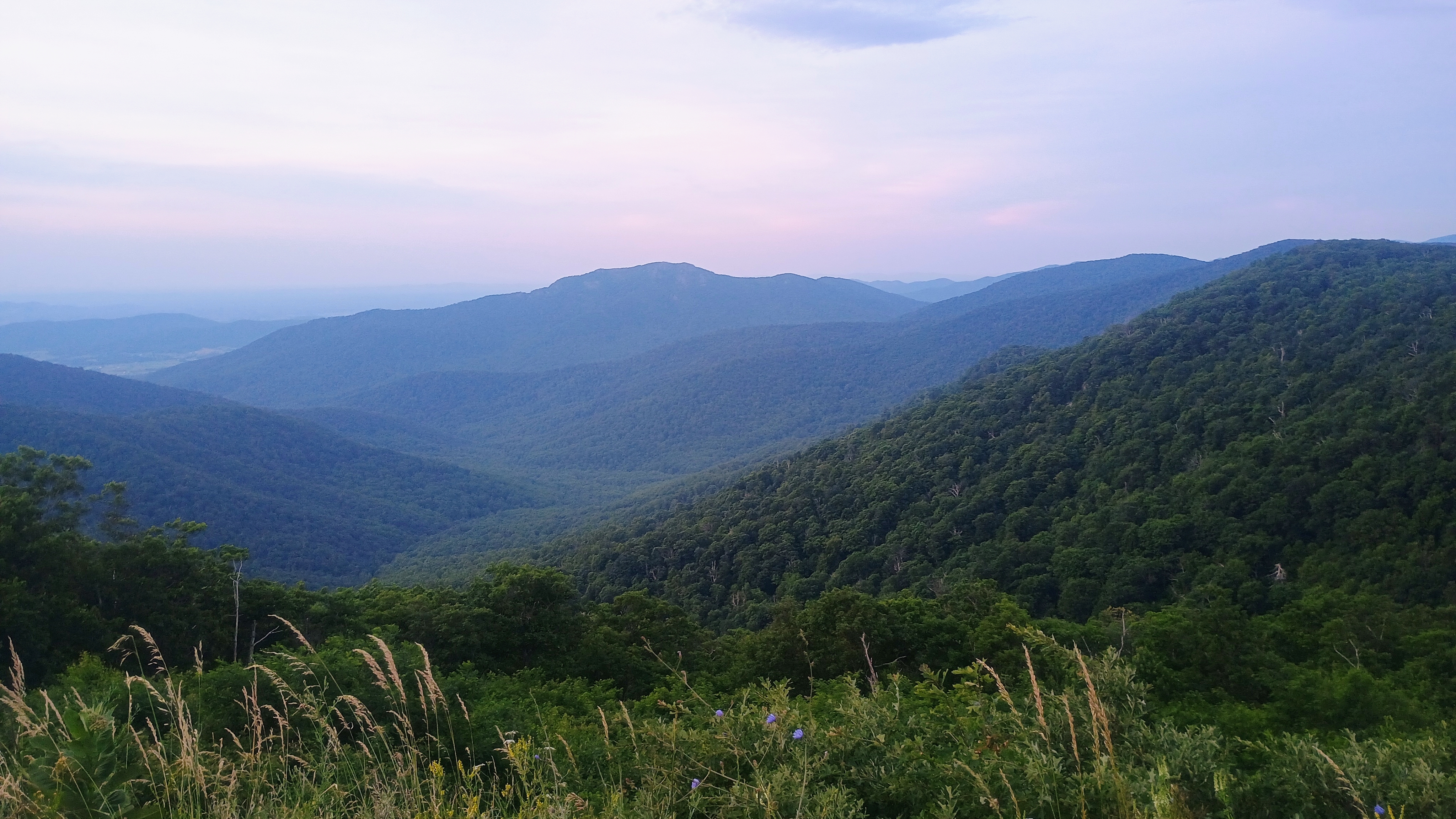
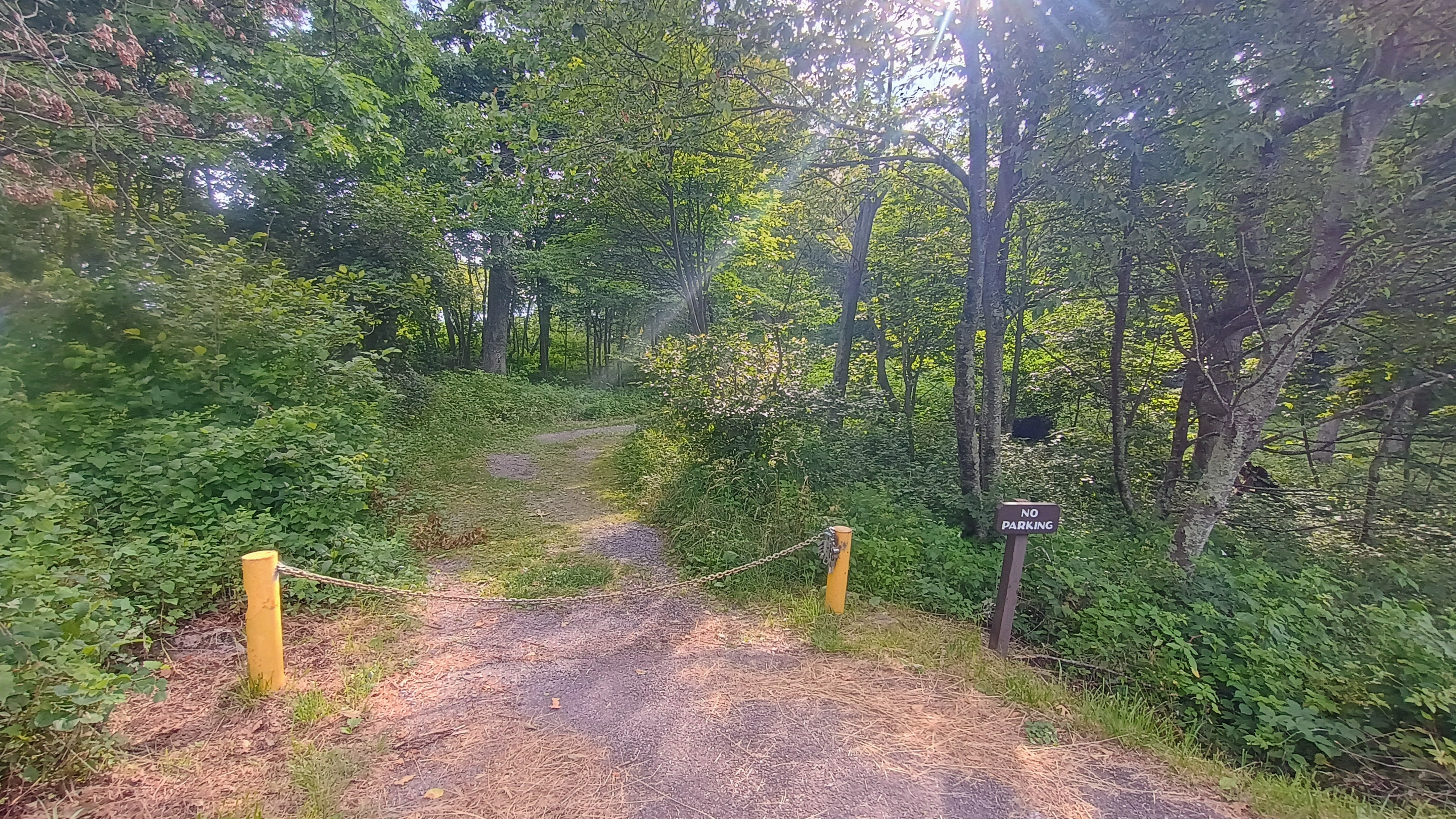
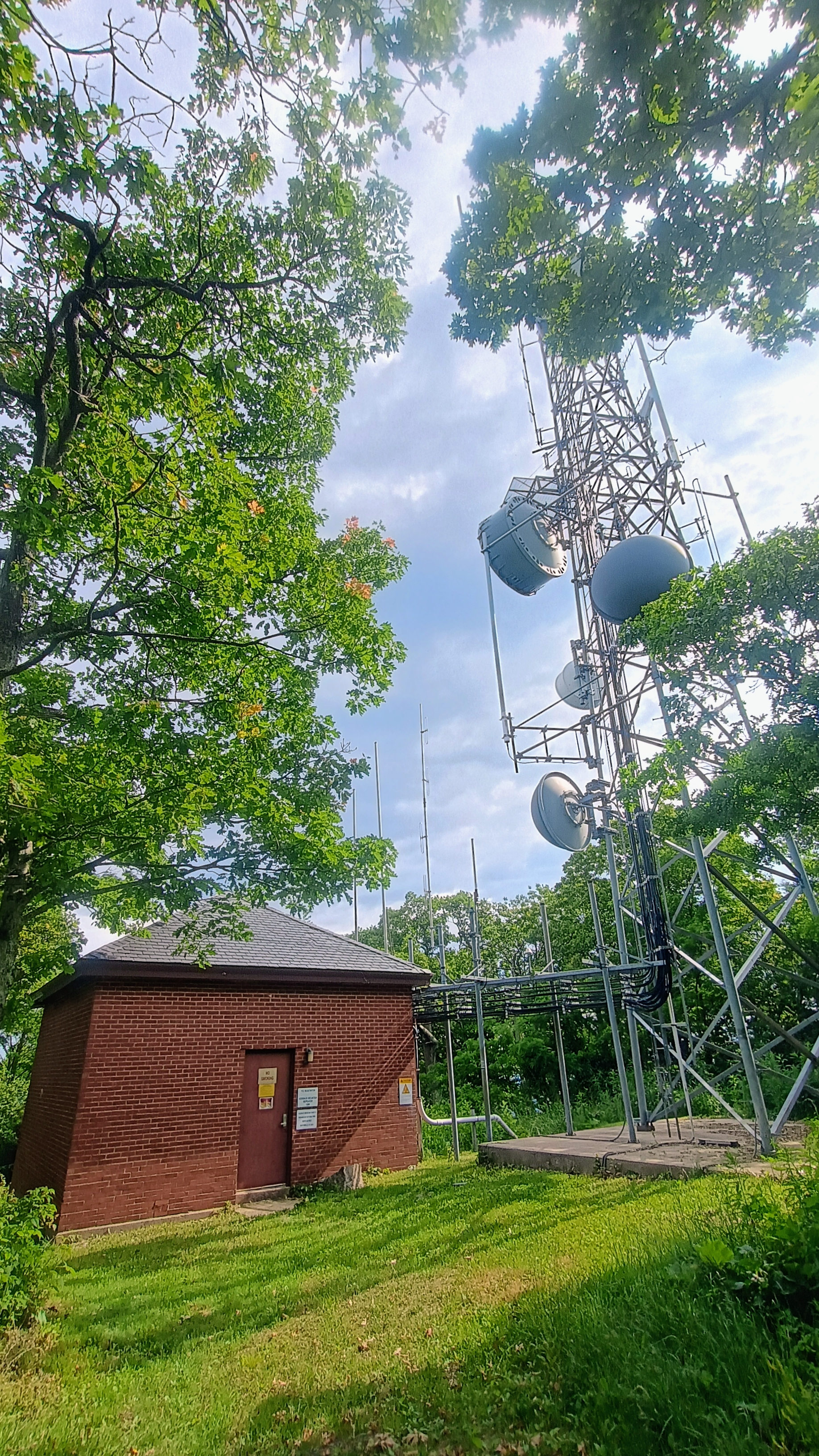
To round off the day, Luna and I parked at the trailhead parking for Overall Run, then hiked east along the AT to Skyline Drive, which we crossed to follow Hogback Tower Road into the activation zone. Here, I spent some time doing HF, using the PTT button of my mic to key the KX2! Here is where I worked Roy WN3F for the first and only time on this trip, having used his helpful hints the entire way. I also got W4VIG and W4GO in the log on 2m CW, and Matt W4GO managed to chase me on all four peaks! As a final bonus, Hogsback was my 7th 007 reference, wrapping up the Moore SOTA activator badge.
Across these four activations, I logged seven 2m CW QSOs, which put me on the board for the 2026 SOTA challenge. Also notable is that our QSO on Hawksbill induced KK4UZK into the Brass Knuckle Gang, an eclectic group of 2m CW enthusiasts. I too am a BKG Member, #49, and enjoyed getting my first “wild” 2m CW QSOs on these SOTA activations!
Since these peaks are all well-documented by the W4V SOTA community, I won’t rehash any additional details on parking/trails/etc. There are many easy hikes in the park to check out! Stony Man seems to be the most popular, and for good reason! I highly recommend checking that one out if you’ve only got time for one.
 Tom Zajdel