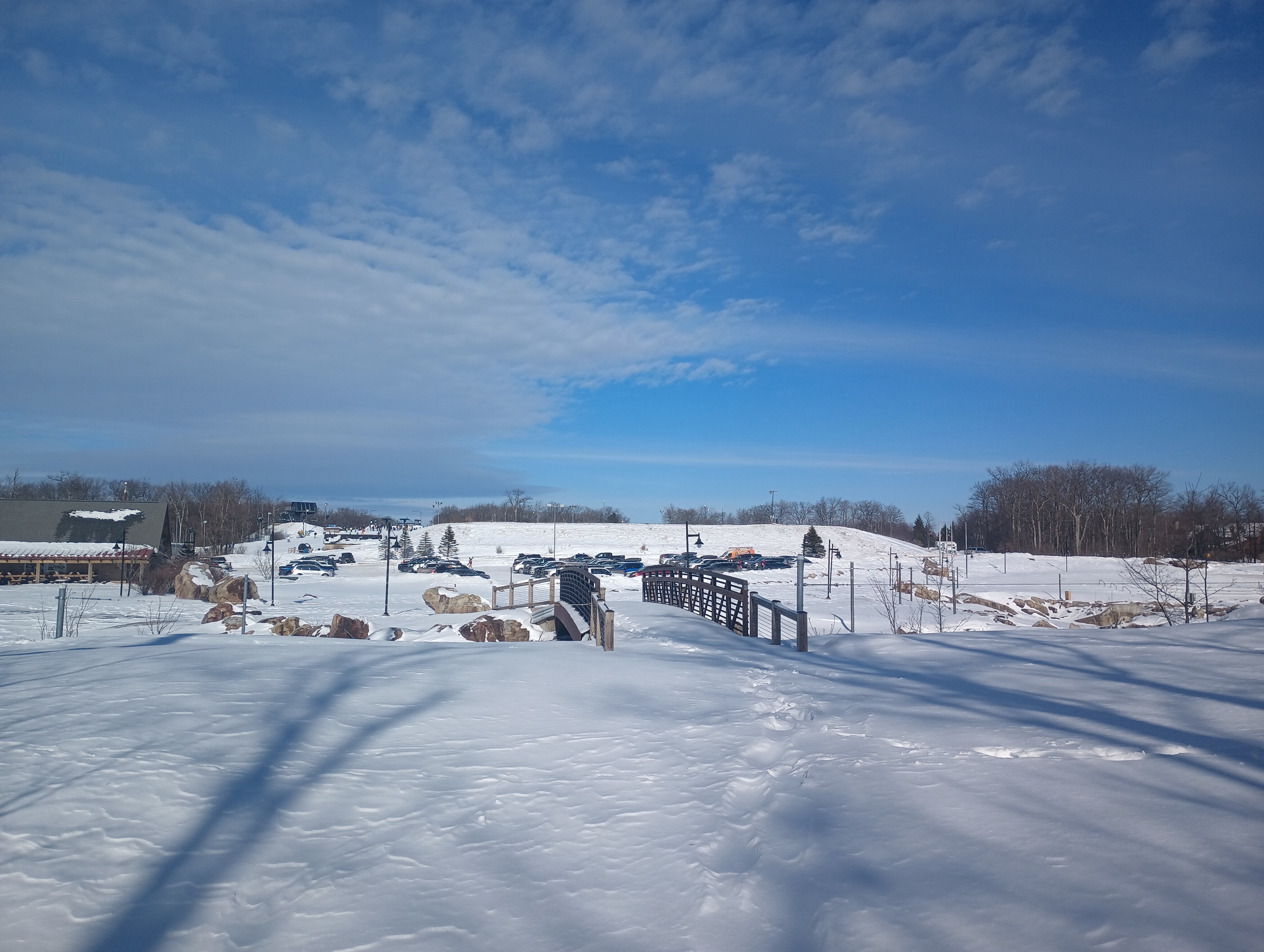
After activating W3/WE-002 Dans Rock, I stopped for lunch in Cumberland. I then started to work my way back towards Pittsburgh, stopping by the Wisp Ski resort for the tallest SOTA peak in Maryland at 3091 feet: Marsh Hill. This was the middle of the ski season, so I did some “creative” hiking to get out of the way of all the skiiers and snowboarders.
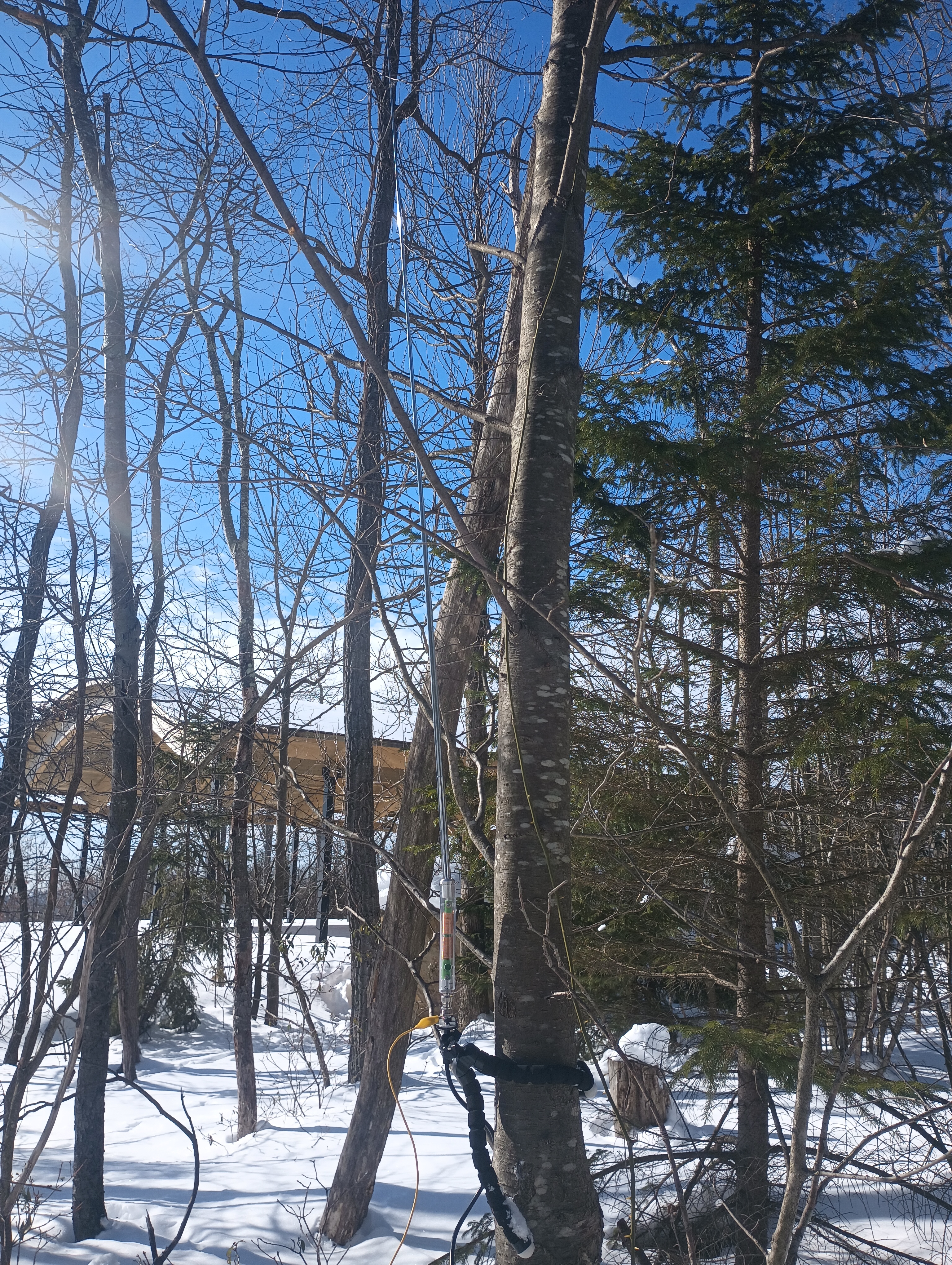
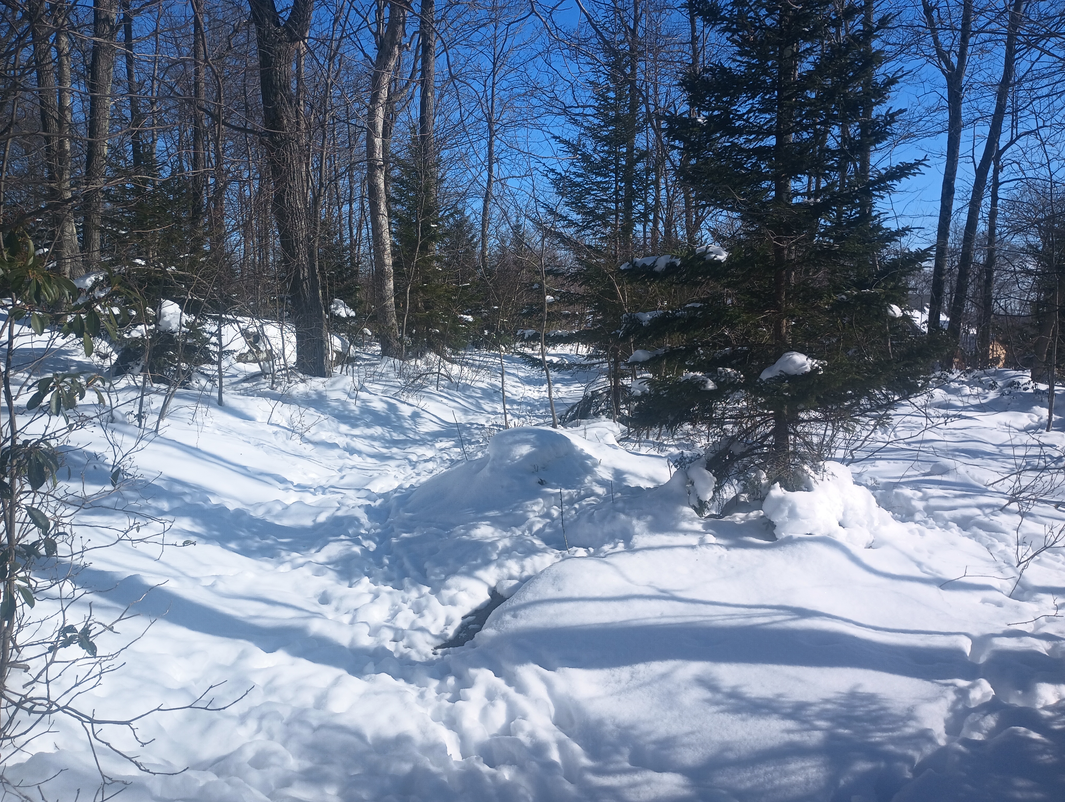
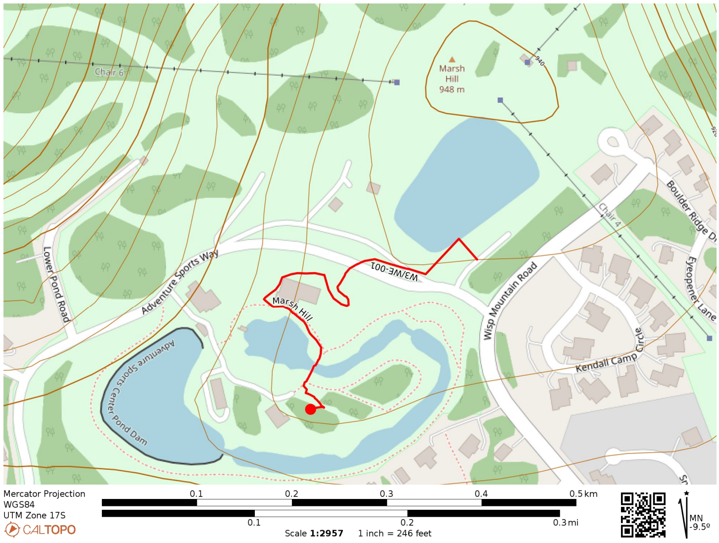
I walked around the “Adventure Sports Center” cabin towards the whitewater course. The rapids were obviously closed for the winter season, but there were a few trails around here that felt like an unobtrusive place to set up. I hunkered down into the snow, which was a bit over a foot deep, in a small wooded area. I strapped the AX1 vertical to a tree and worked 22 QSOs, all on 20m.
These are probably going to be the easiest 10 (+3 winter bonus) SOTA points I’ll ever earn! I continued on for a return activation of W3/PT-011 Pondfield 2 Benchmark, rounding out the day with three SOTA peaks and a daily haul of 35 points, a new record for me!
Trailhead: 39.547121, -79.3714821 : Wisp resort parking lot
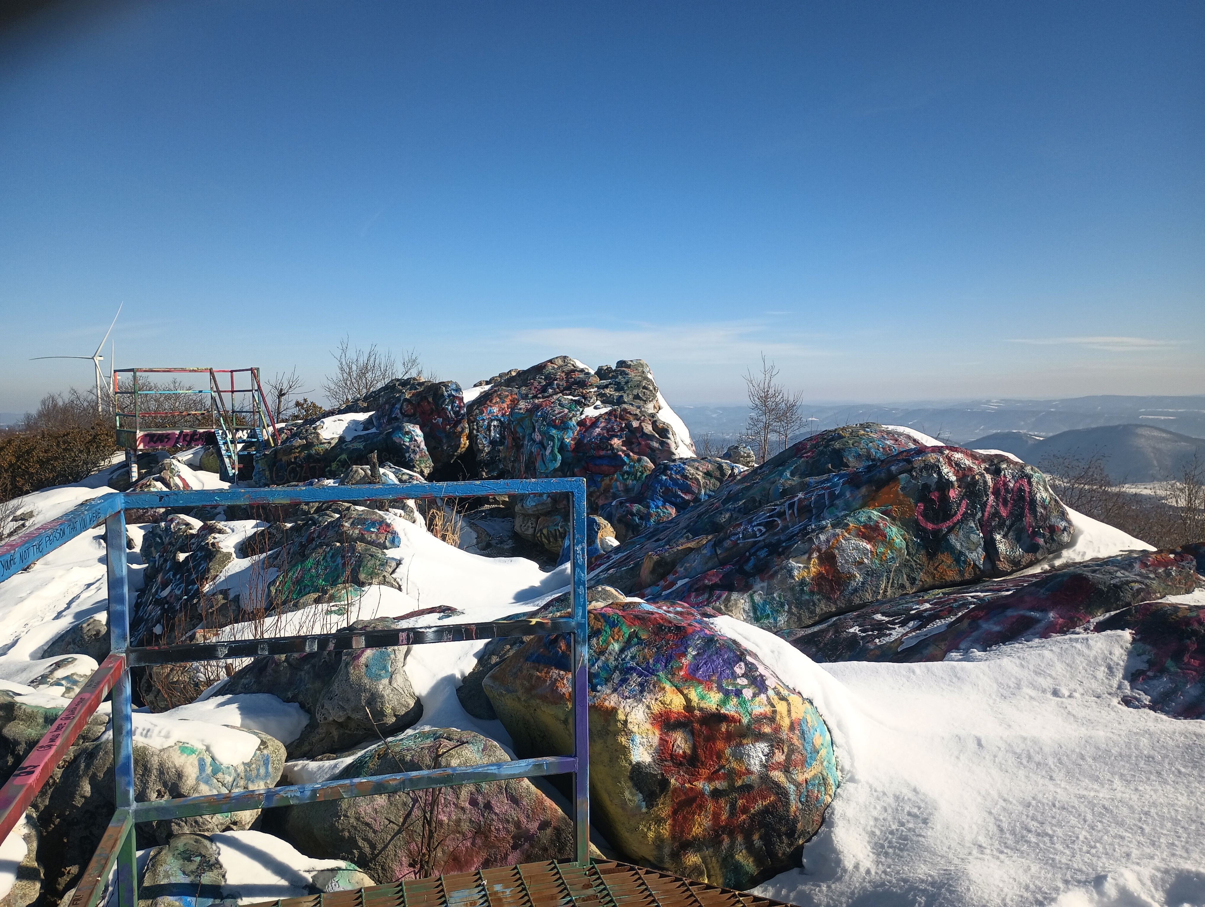
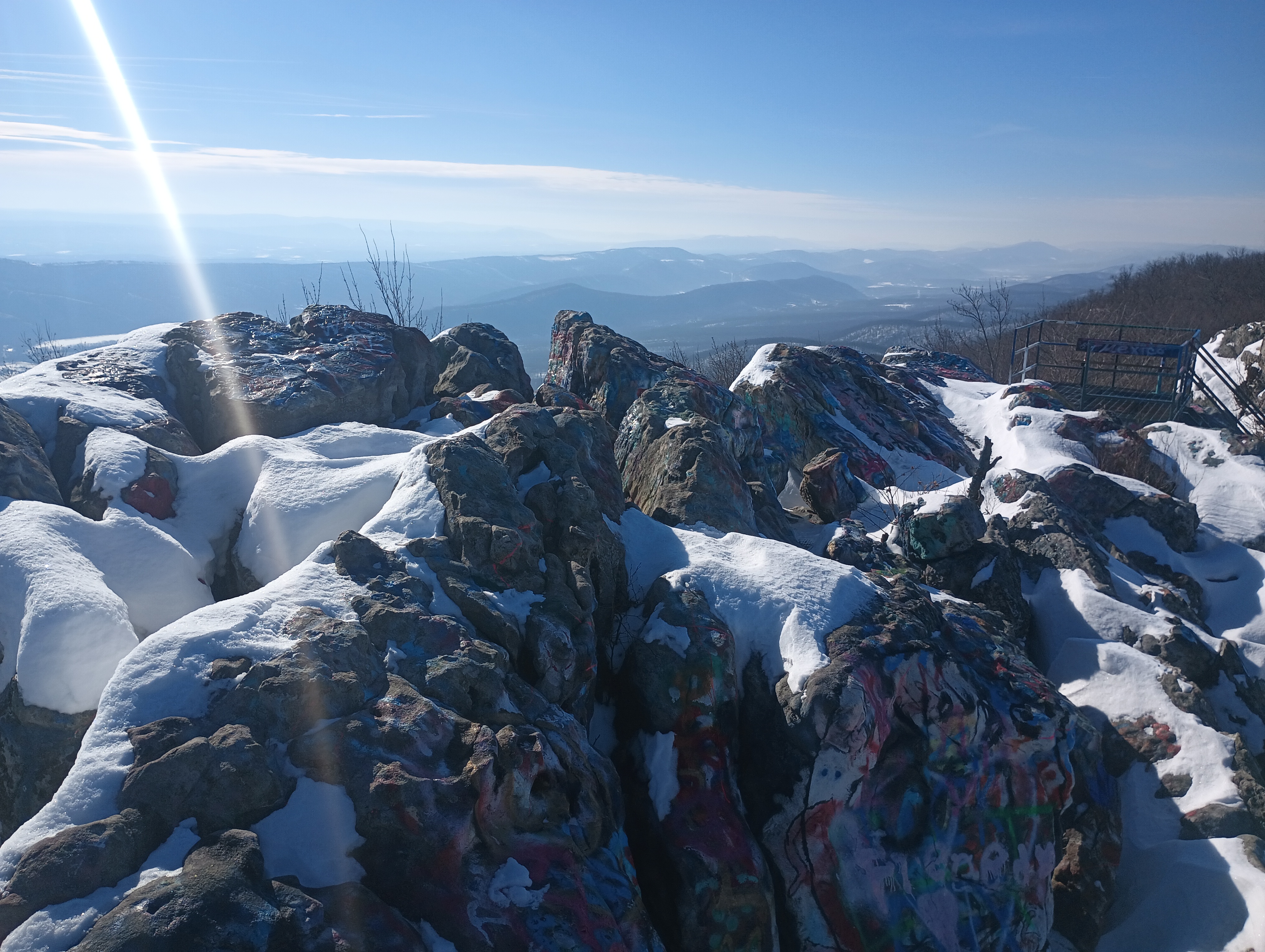
Dan’s Rock is the high point of Allegany County in Maryland, at 2894 feet. It’s the peak of Dans Mountain, and a tremendously popular place to paint rocks. I went here to start a day of a couple of activations in the Cumberland, Maryland area. I was the only one here on a cold January morning.
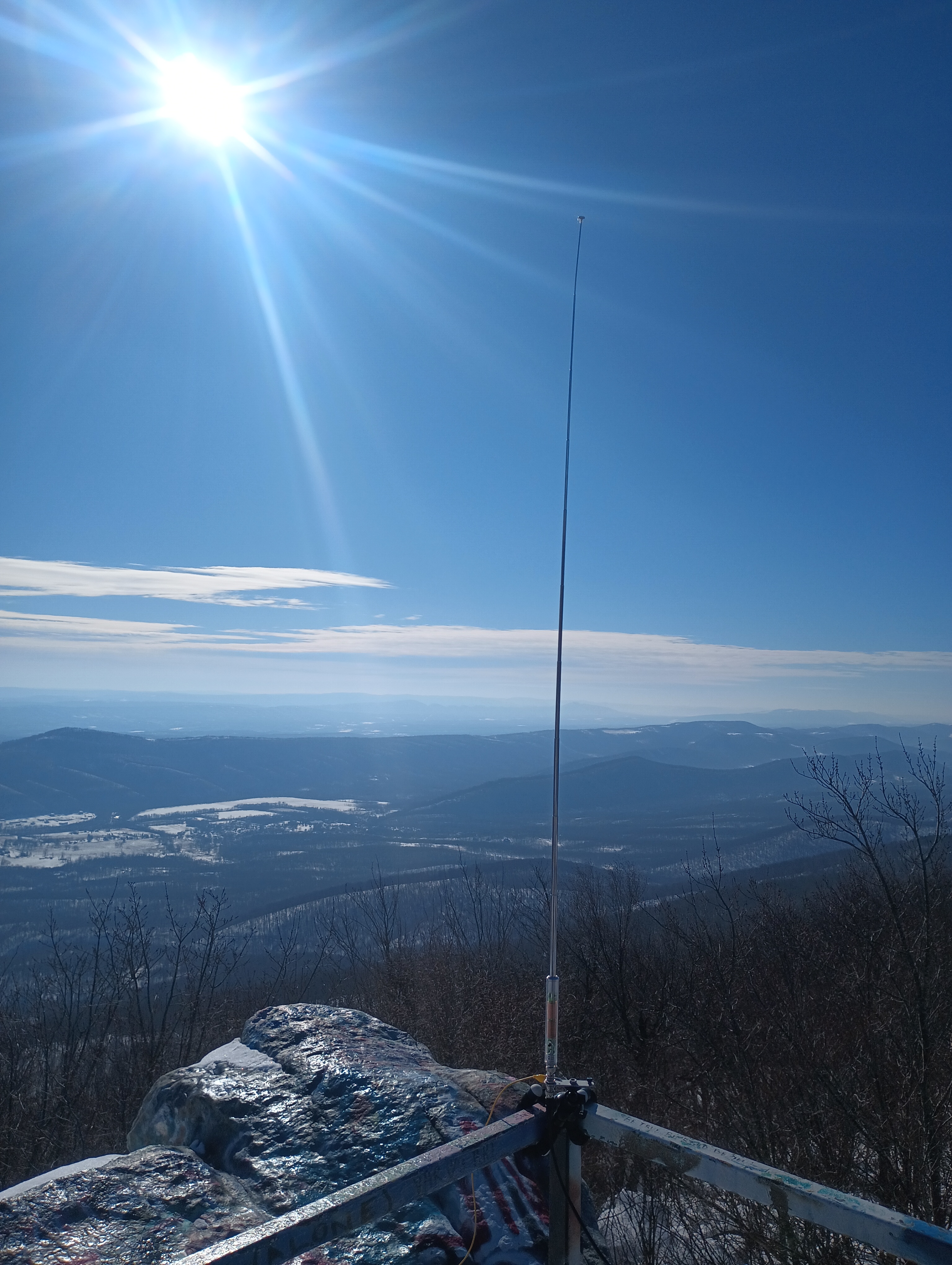
I walked up the green scaffolding to get to the spectacular overlook. There was still snow on the rocks. I dusted the snow off a convenient bench at the top and wrapped my antenna tripod along the railing. The AX1 is truly a versatile antenna, and made it a snap to get set up! A couple did come up onto the observation platform for a few pictures, and then left quickly due to the cold winds.
The wind was harsh, but I stuck around for 17 QSOs, including DX on 20m: F4WBN and F6EAZ in France, and two S2S on 15m: AD5A on W5A/MA-001 Magazine Mountain and N7CW on W7A/CS-038 Beacon Hill.
I had considered trying to make this a combined SOTA/POTA activation by staying in Dans Mountain Wildlife Management Area (US-7767) on the way up, but I just couldn’t pass up the opportunity to operate from the top of the rock. Maybe next time!
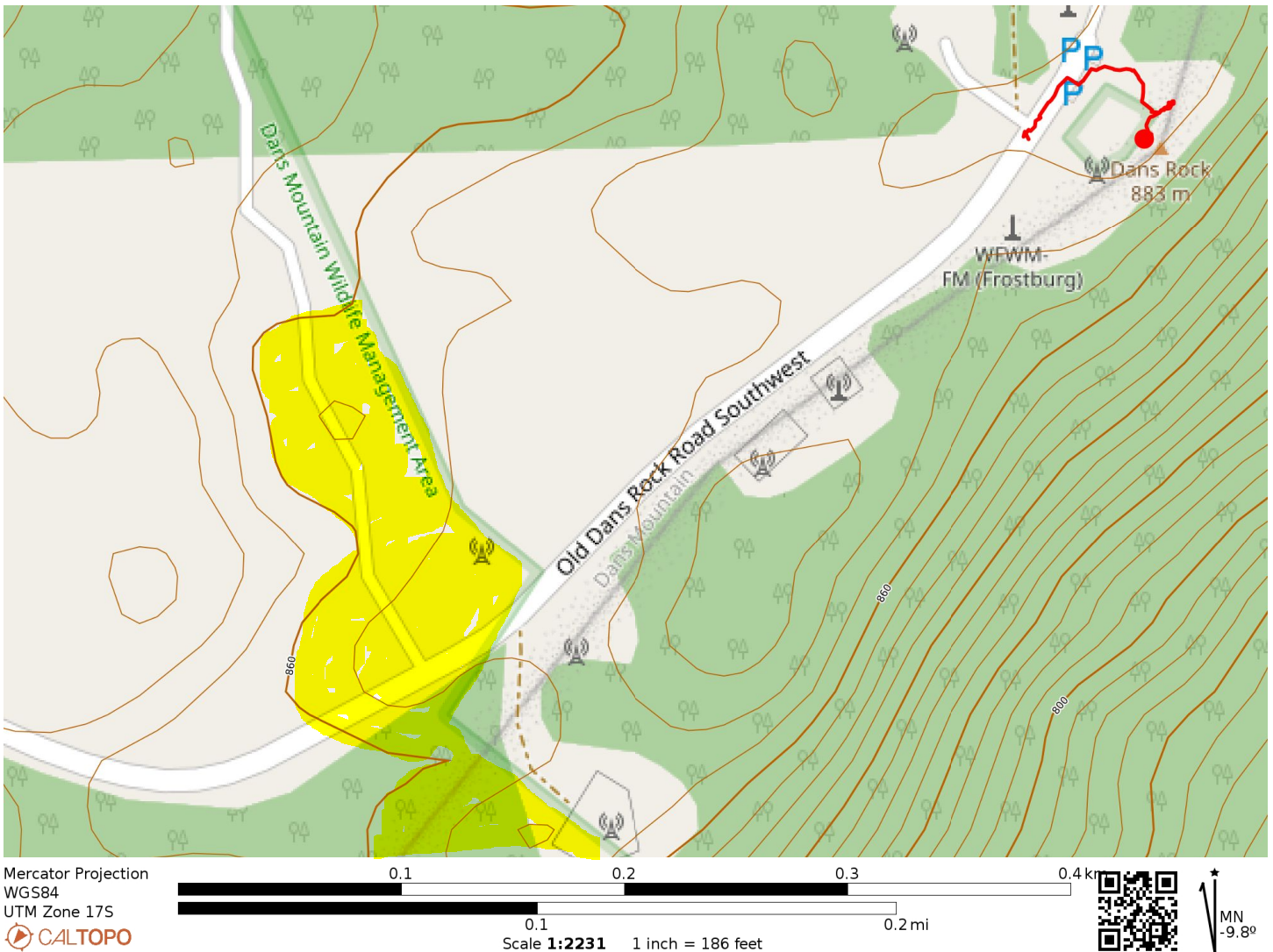
The activation zone is roughly bounded by the 860m contour. There is a small overlap of the AZ with POTA site US-7767 Dans Mountain Wildlife Management Area, highlighted in yellow. Perhaps there’s a good spot in here for a POTA/SOTA activation!
Trailhead: 39.58171, -78.89811 : Parking pad by radio towers
Route: A couple minutes walking up stairs. The parking spot is already in the activation zone.
POTA: Old Dans Rock Road SW passes through Dans Mountain Wildlife Management Area (US-7767). The boundary of the park appears to be within the AZ, but you’d have to pick your operating point carefully.
I wanted to add a second peak to my trip after bagging Snowy Mountain, but I was concerned about the building winter storm. AC3B’s trip report noted that the forest road leading to Big Mountain (the high point of the Tuscarora Mountain ridge) was wide and unexposed to steep cliffs, with plenty of opportunities to bail if needed. It also is within Buchanan State Forest, so this works as another SOTA/POTA special.
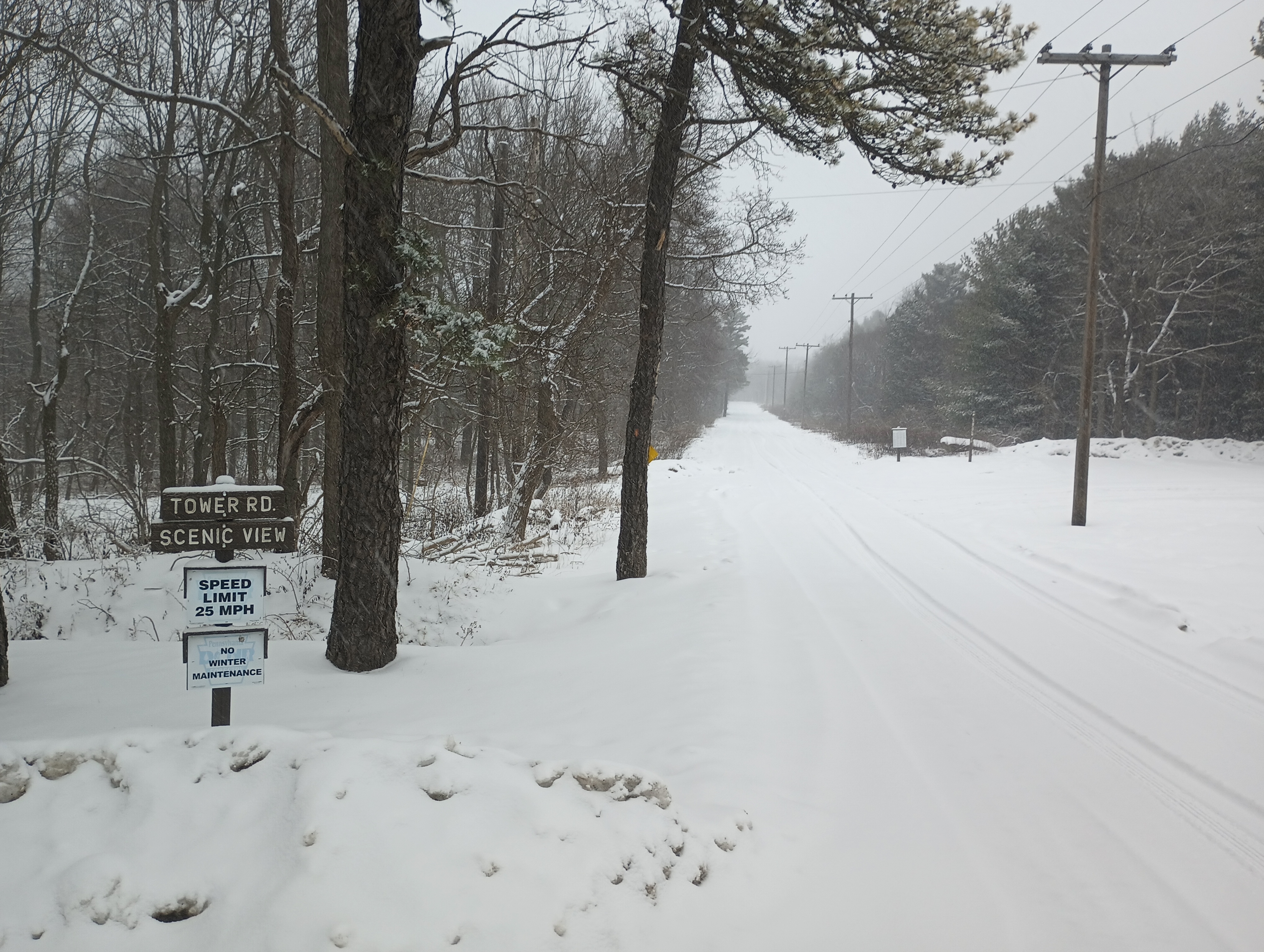
To get there, I drove west on US-30, then turned onto Augwick Rd. I followed this for a mile, then turned onto Tower Road, which is not maintained during winter and was covered in snow. I just had to take things slow and in low gear for the 2-mile drive to the summit, letting my Subaru’s AWD rise to the occasion. The road was double-track width, which was comforting (even though I didn’t pass anybody on the way up or down).
Tower Road looks like this the entire 2-mile drive up. Dear reader, the sign that says “No Winter Maintenance” was not lying! Still my low-clearance sedan with AWD made it with minimal slipping (going slow and low gear).
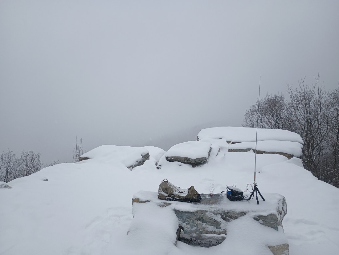
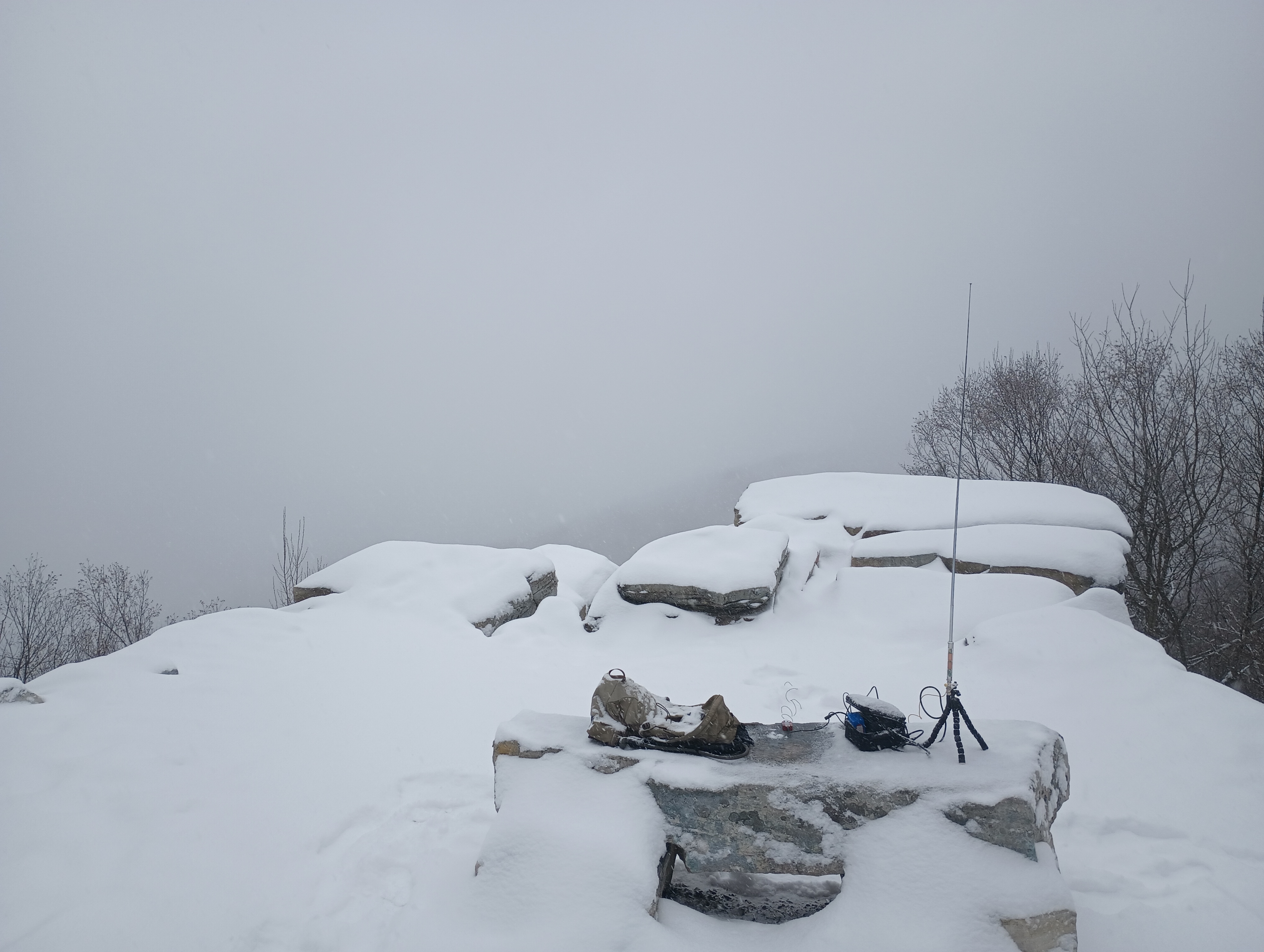
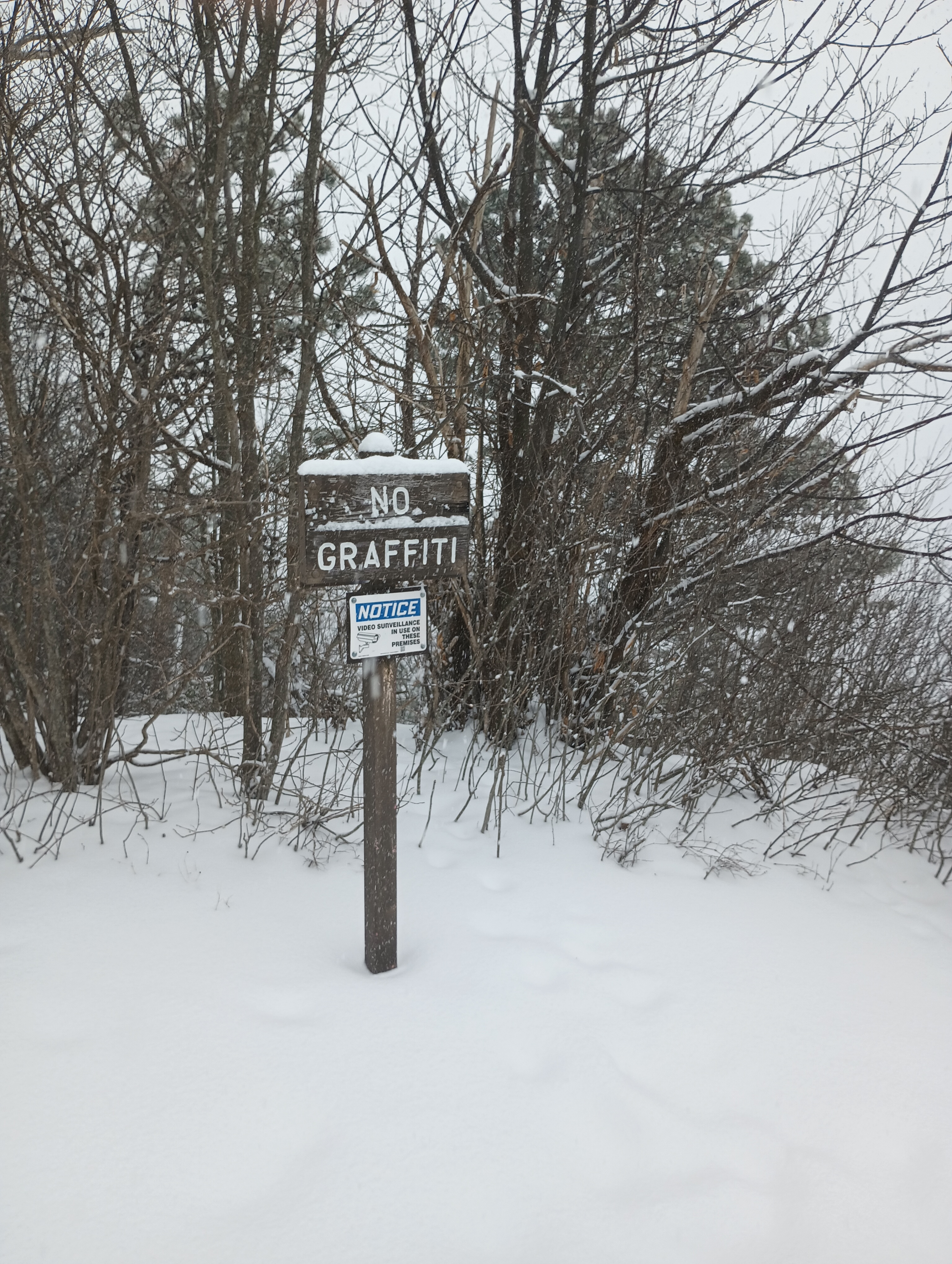
I parked along the small loop by the overlook and saw where the Tuscarora Trail continues north through the woods. The vista point must be great in clear weather, but all I could see today was a gray haze. I took in the view, setting up on the stone bench while opting to operate while standing. There was a security camera making sure that nobody would spray graffiti onto the rocks. By now, the flakes were coming down thick and making everything wet. I was thankful for the AX1’s rapid and painless set up.
I picked up 11 contacts in just about 15 minutes, including a S2S with WW4D on Cedar Creek Mountain (W4C/US-029). My notepad was starting to soak with the heavy precipitation and I decided to pack it in.
Trailhead: 39.92892, -77.95549 : The intersection of Augwick Road and Tower Road, just north of US-30
Map: [AA3TZ SOTA] – For the driving track along Tower Road
Route: Drive-on along 2-mile forest road (no winter maintenance, but relatively easy drive as forest roads go)
POTA: Buchanan State Forest (US-5463)
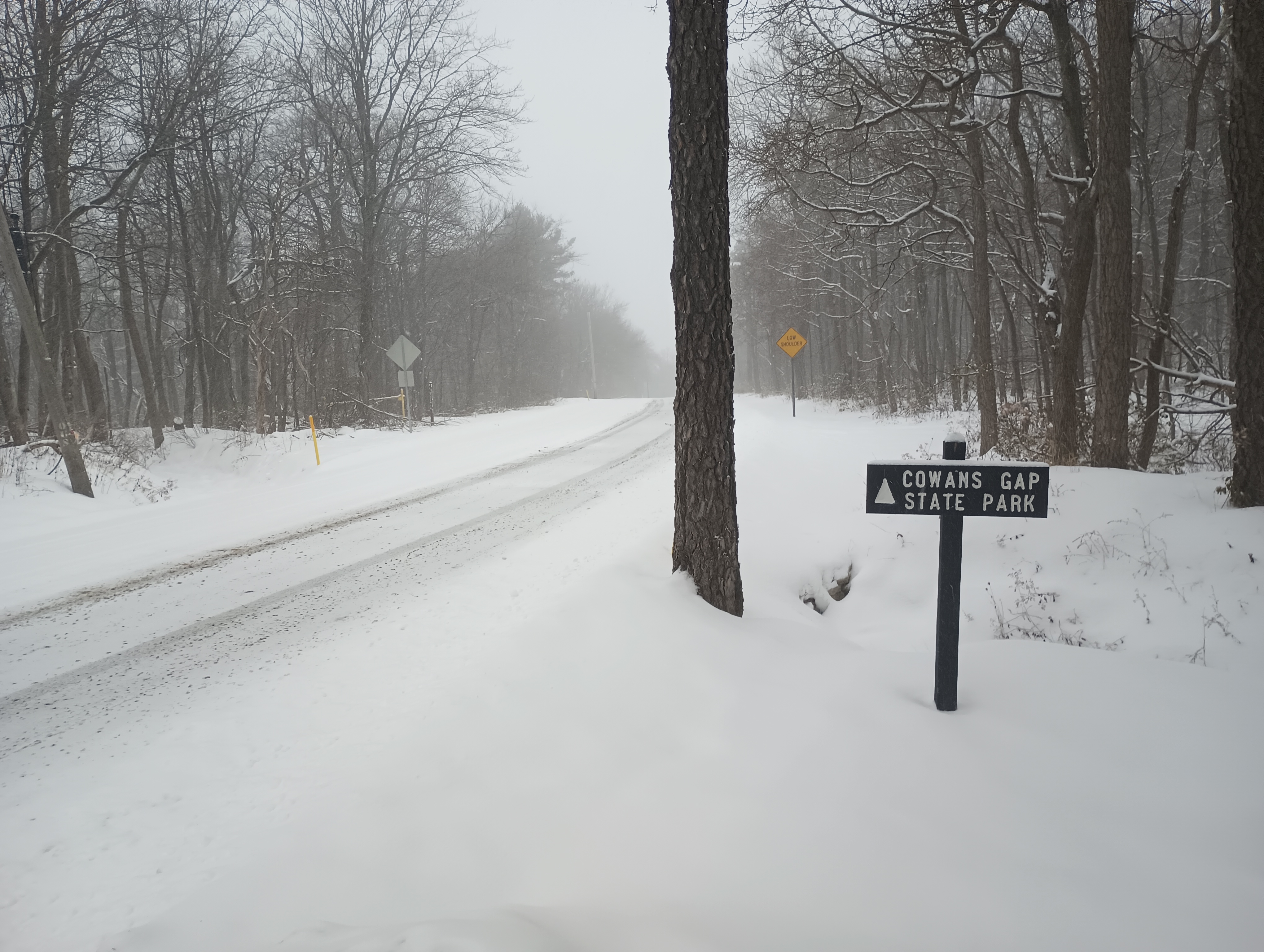
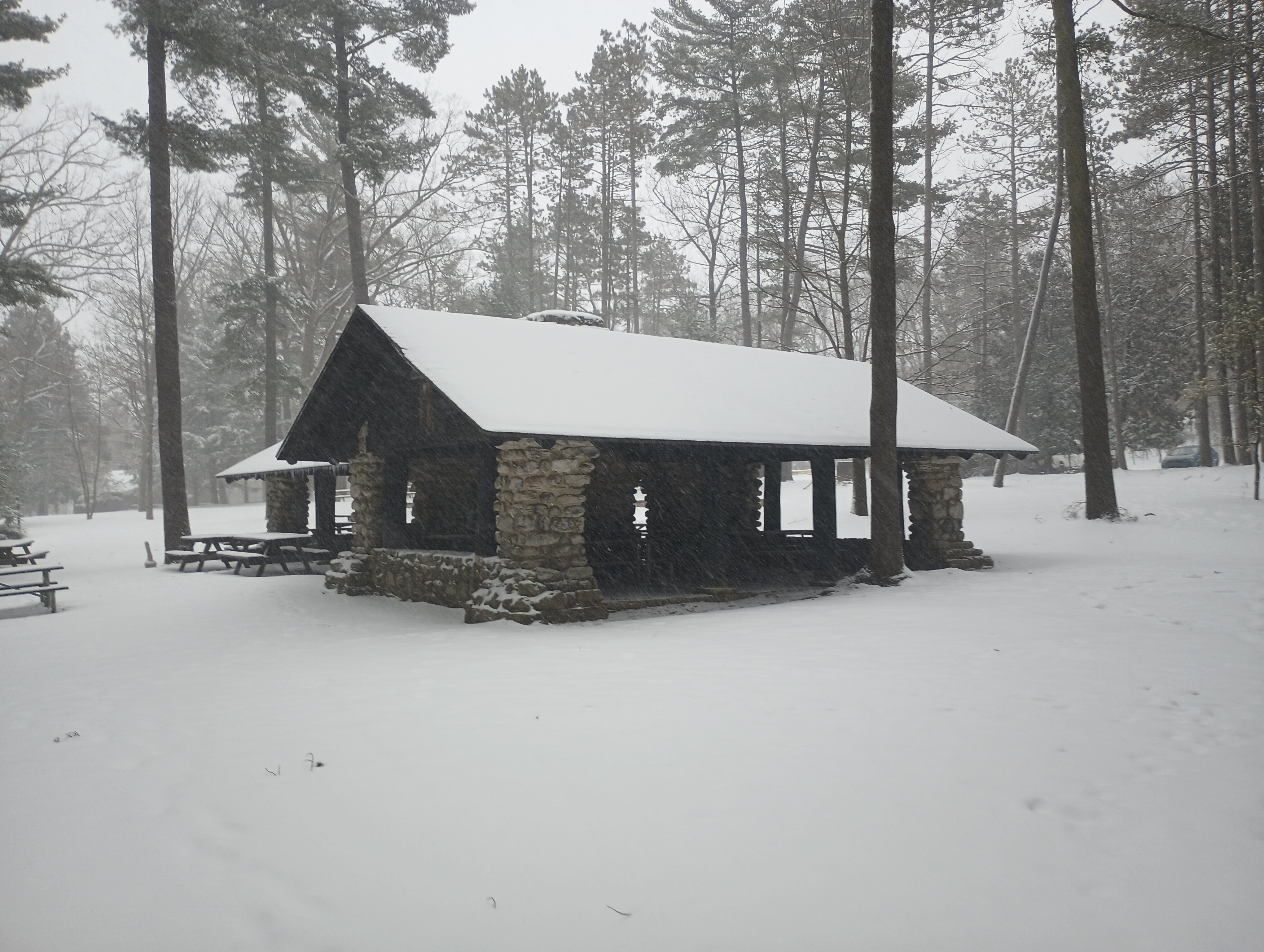
As I was leaving, this sign for Cowans Gap State Park beckoned me to continue north on Augwick Road for a POTA chaser, just 4 miles away. I set up in a picnic shelter near Parking Lot #2, not far from the park office. I could relax a bit and enjoy drier conditions for a bit.
Now that I’m accumulating PA state parks and forests, I feel like I should try to visit/activate them all: 124 parks and 20 forests!
I went in Gettysburg, PA for a personal mini-retreat after the semester’s first week wrapped. A winter storm was coming through, so I tried to get an early start to tackle a group of SOTA/POTA sites. This my first time trying out the AX1 portable vertical antenna for quicker set up and pack up process than putzing around with my arborist’s throw line and end fed wire. Snowy Mountain in Michaux State Forest was first on the list.
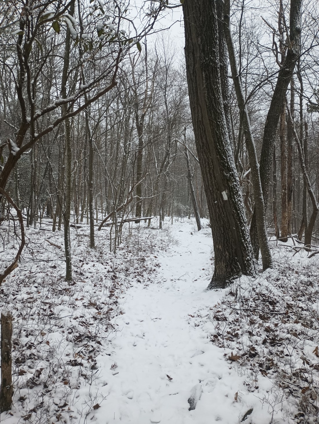
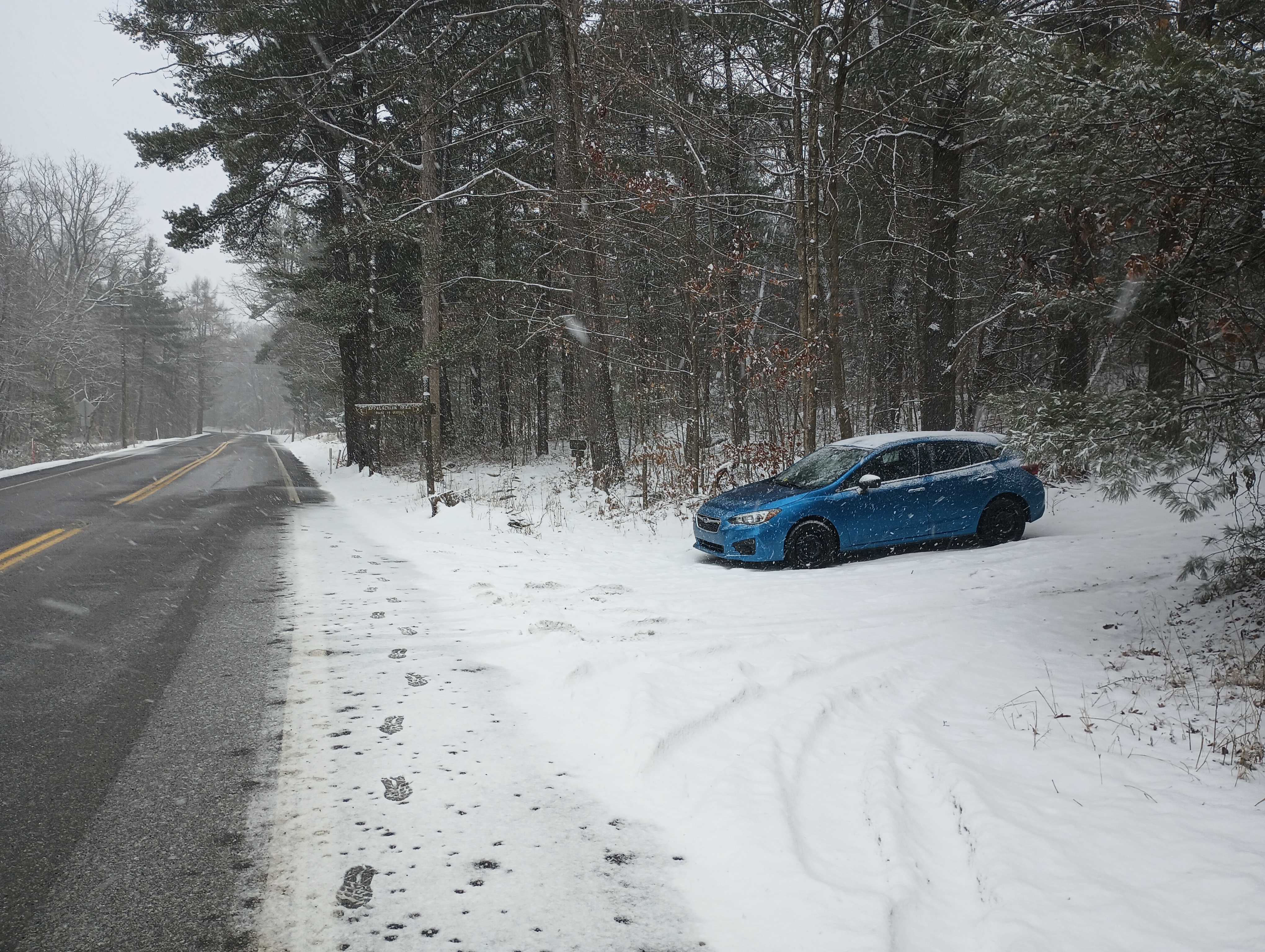
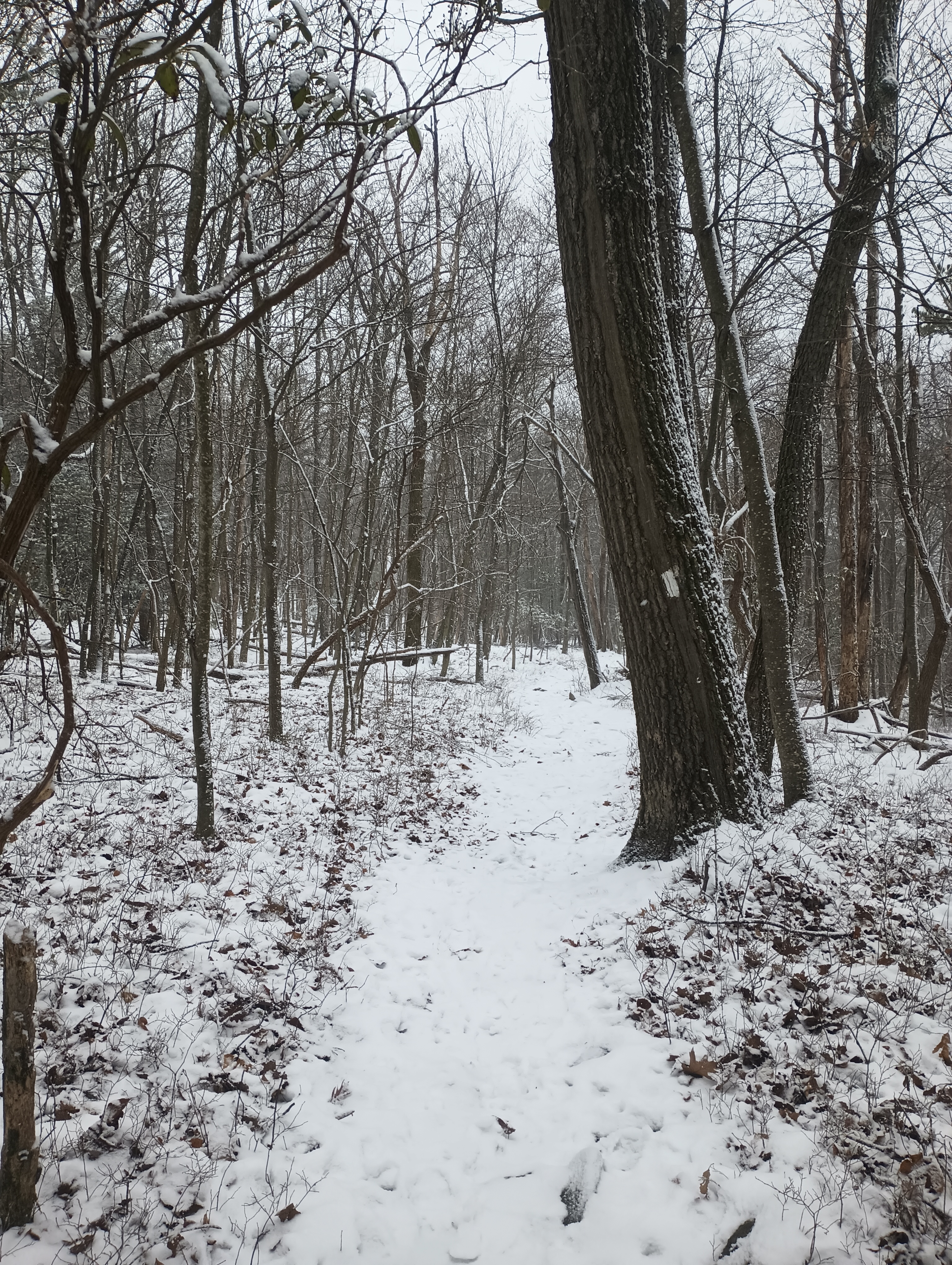
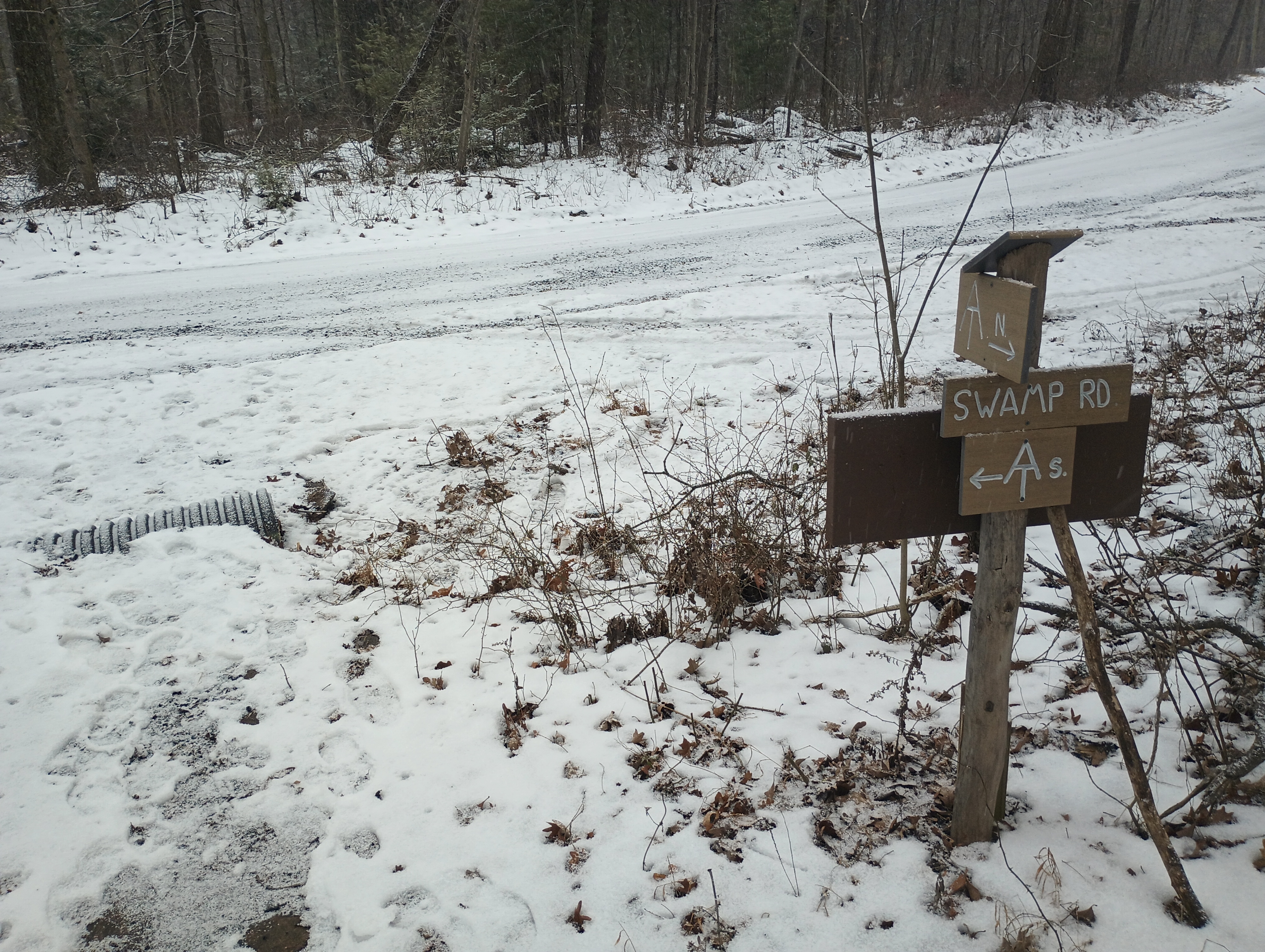
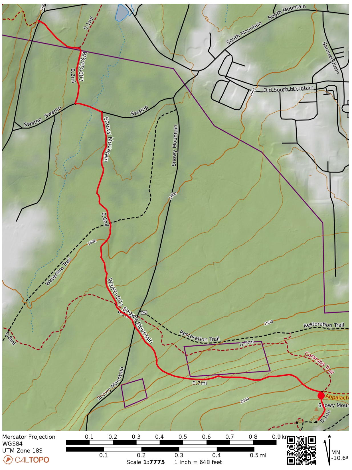
I did not want to drive up snowy forest roads, so I decided to hike in along the Appalachian Trail. I parked at the trailhead on PA 233, which has room for a couple cars. Shortly into the hike, the AT briefly continues along Swamp Rd, then winds on through the forest.
A runner mysteriously materialized, and somehow passed me twice during the 1.6 mile hike. I also saw a hawk carry a squirrel away for a meal. Other than those wildlife sightings, it was a serene and quiet winter hike.
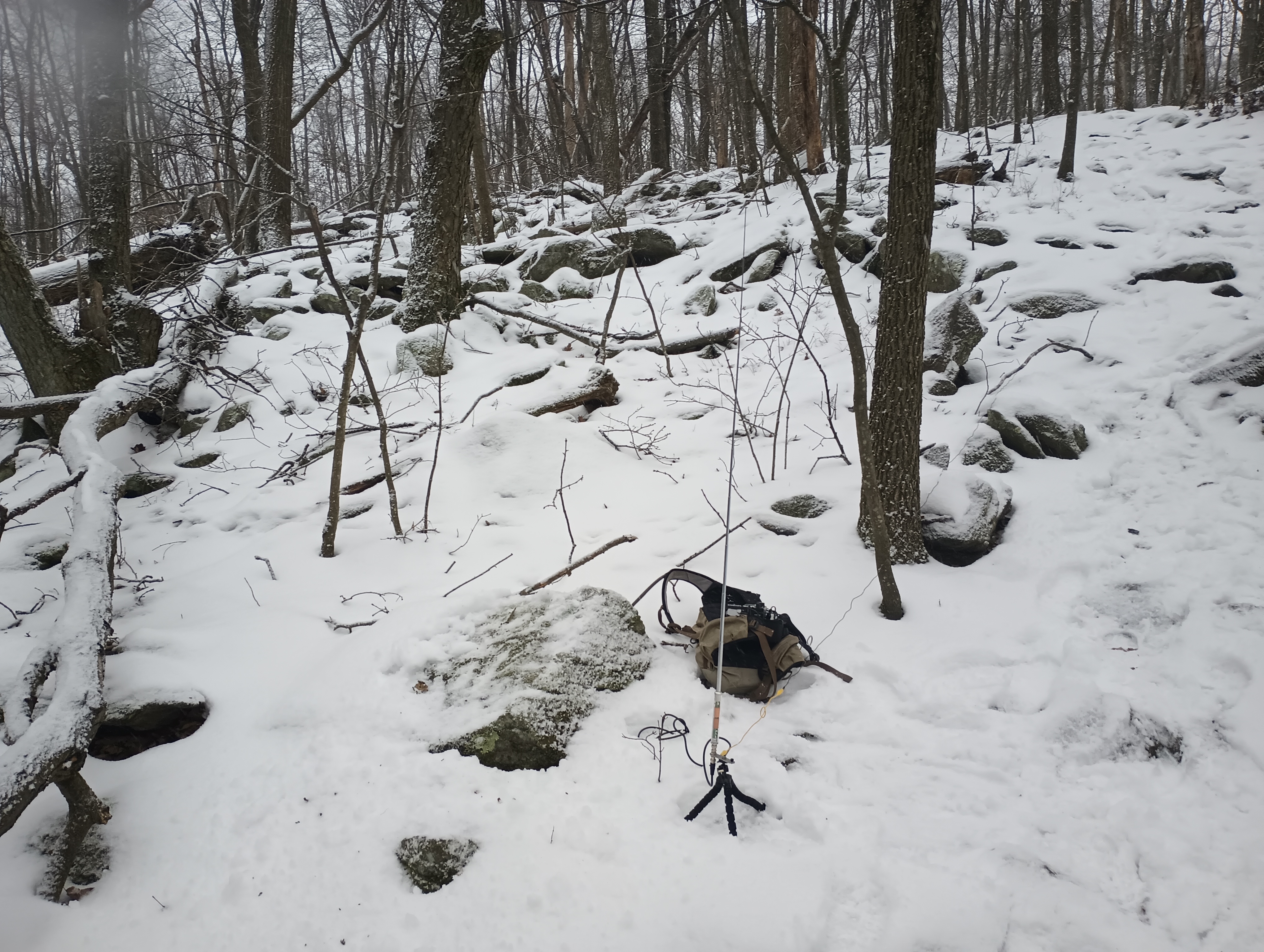
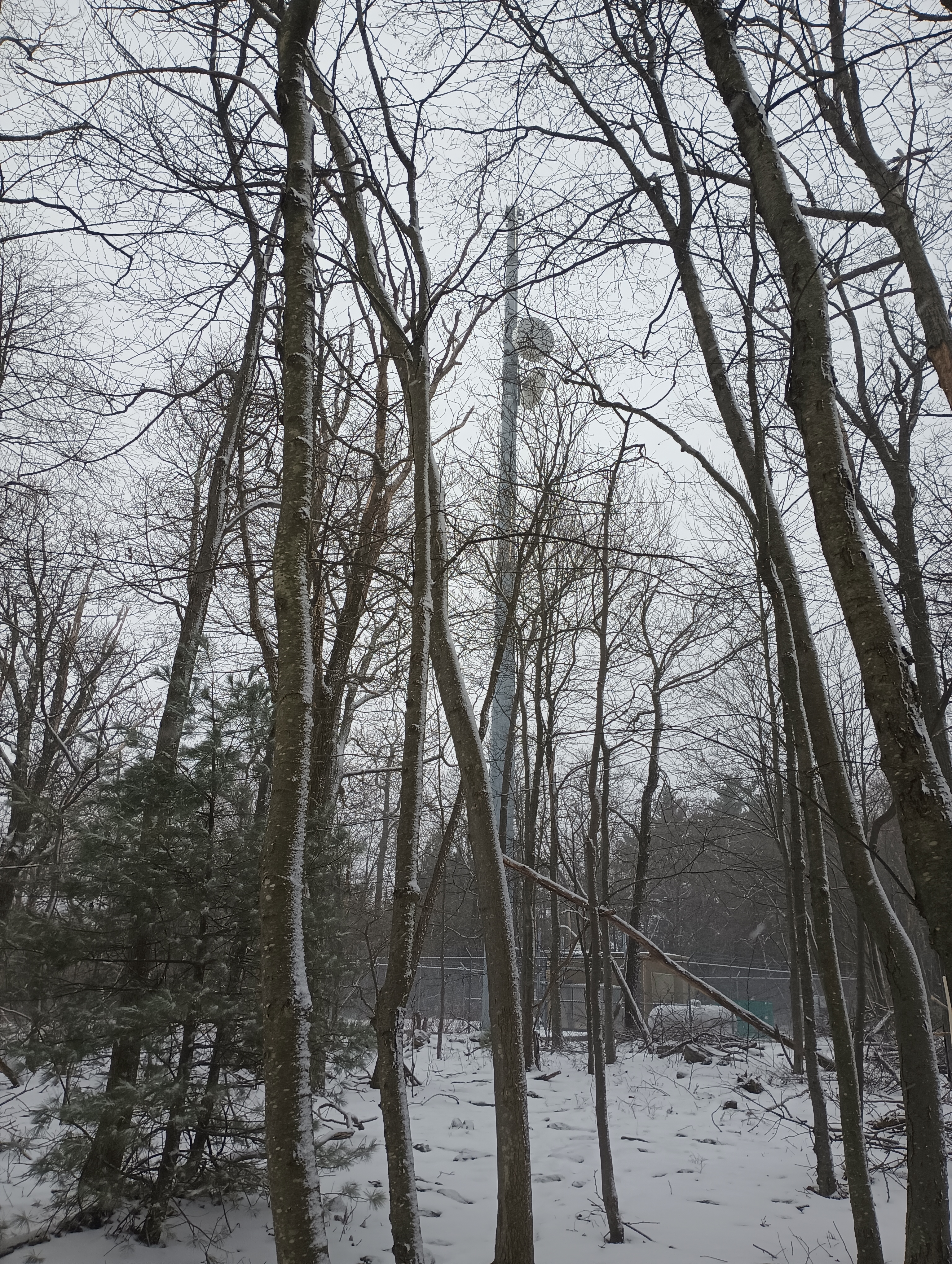
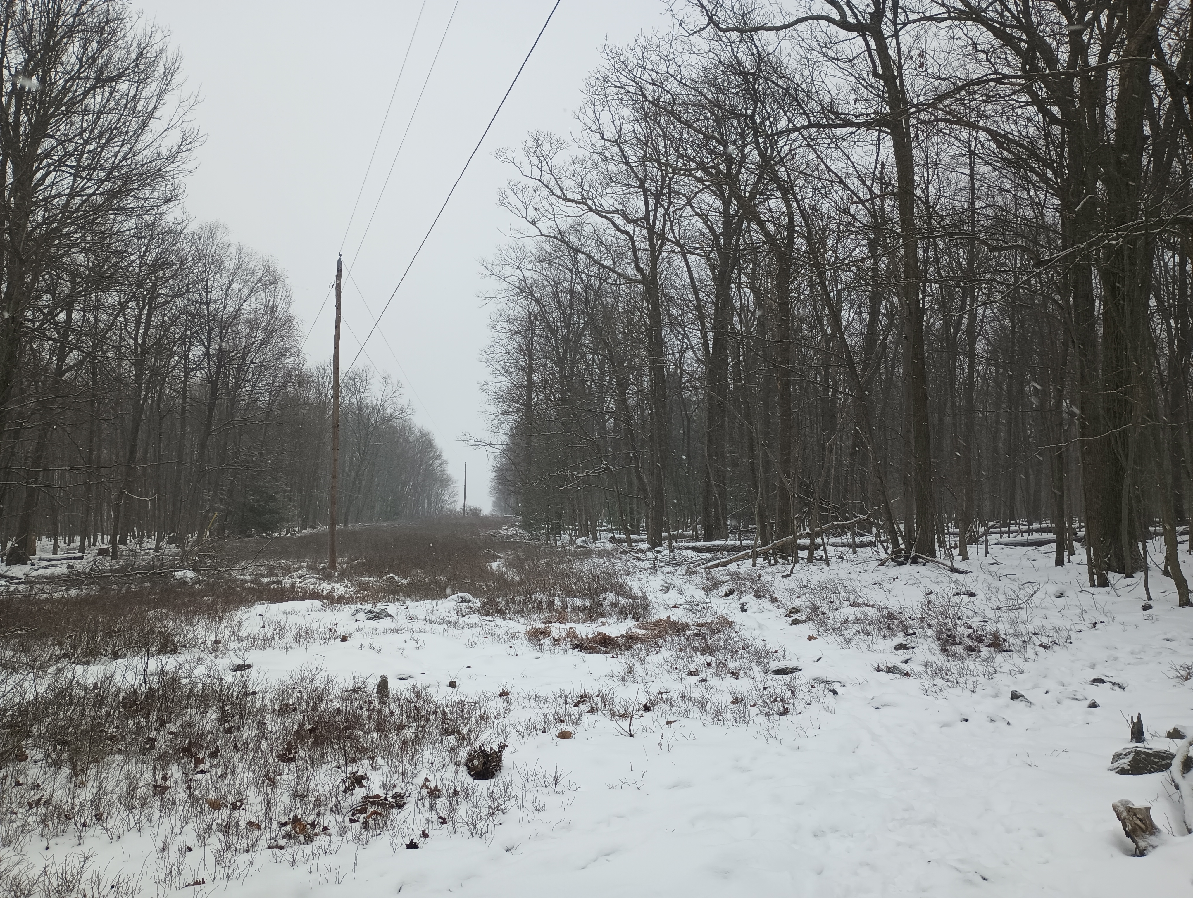
The last half of the hike came with 500 feet of climb. At the end, a powerline cut crosses over with the AT, and a short segment of the Caramba Trail continues due south to the peak, where a couple radio towers stand. The trail appears to be just inside in the activation zone, but I opted to set up about 50 feet up the path to the summit where I found a rock to sit on. At this point, the snow was really coming down in large, wet flakes, so I was eager to get started.
The AX1 worked well! I was spotted quickly on 20m and made 11 contacts in about 20 minutes. By then, everything was starting to get wet and full of snow. Packing up was where the AX1 really shined, with the whole kit stowed away in just a couple minutes.
Route: 3.2 mi out-and-back, following the Appalachian Trail
POTA: Appalachian National Scenic Trail (US-4556); Michaux State Forest (US-5471)
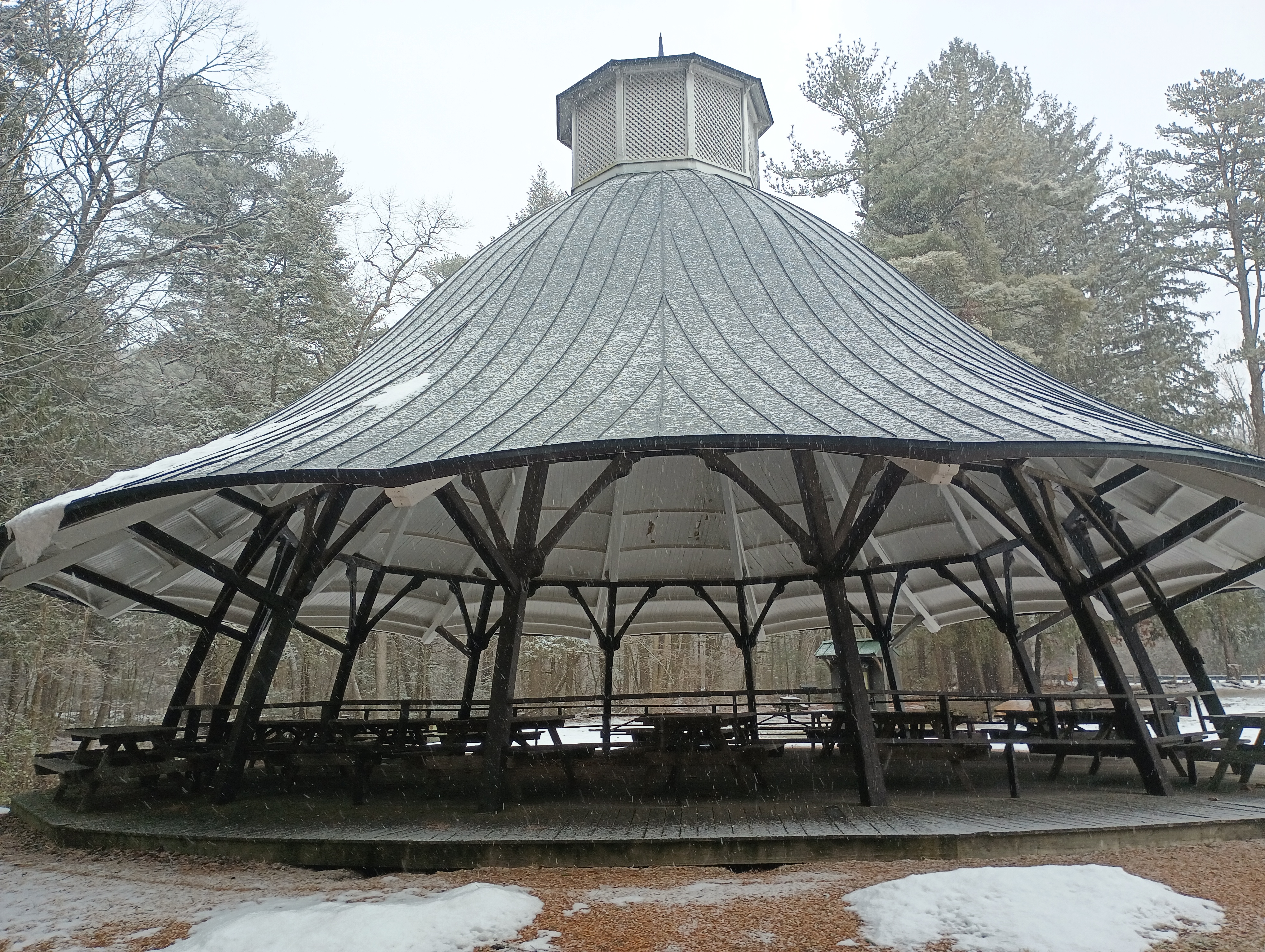
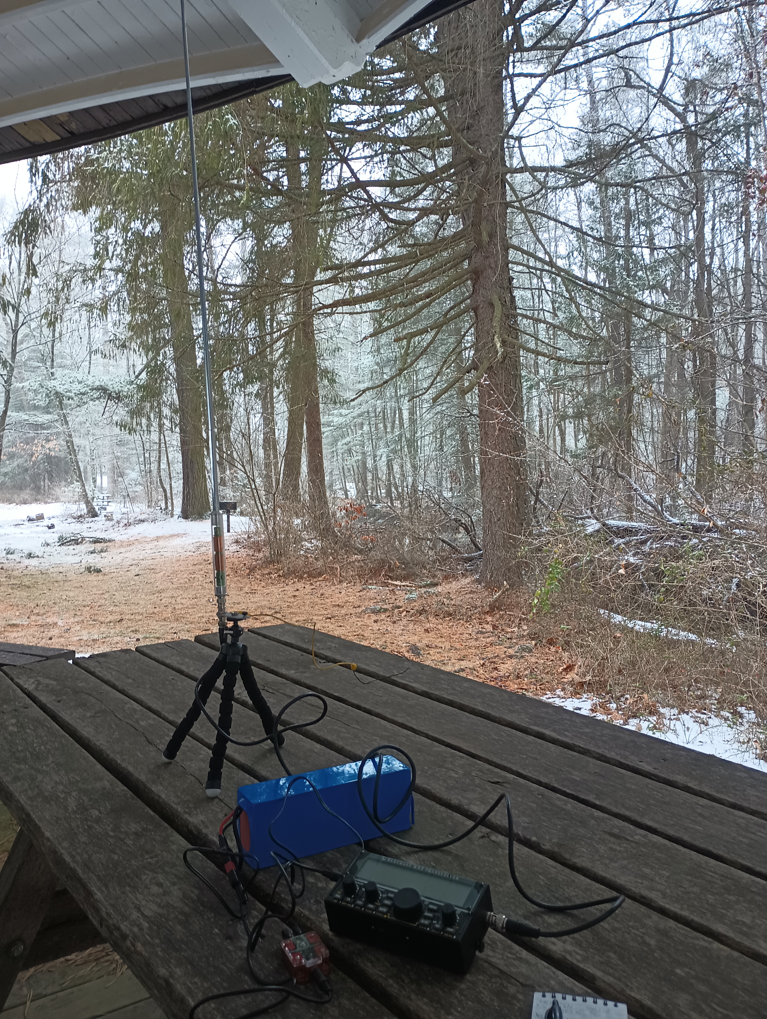
Mont Alto State Park (US-1386) is just over 3 miles down PA 233, so I added this POTA activation to the trip. Mont Alto is the oldest PA state park, and started (as many PA parks in this area) as an iron furnace. The main feature here was a large picnic pavilion (formerly a carousel house) that was an ideal place to set up. I worked this one a little longer due to the shelter keeping things dry, and logged 40 QSOs on 20m CW before calling it quits.





 Tom Zajdel