After my activation at Blue Mtn, I drove north through Tuscarora State Forest, past Fowlers Hollow SP, to Hemlocks Natural Area, an area that KC3TVC reports as “excellent wilderness.” I agree! This is one of the more scenic SOTA hikes I’ve done in a while. I walked north along the Hemlock Trail into the 120-acre old hemlock forest for a bit to take in the large trees, and then returned to the parking area to start the hike south on Bear Ponds Trail towards Rising Mountain, which lies on the Tuscarora Trail.


I followed the red-blazed Bear Pond Trail for a half mile through some mountain laurel and young forest until I joined the blue-blazed Tuscarora Trail.


From here, the path got a bit rockier, following the ridgeline of Rising Mountain. Along the way I passed a local who was excited to see somebody else on the trail, and we chatted for a bit. I suppose Tuscarora is not one of the more popular long-distance trails. It’s 250 miles, so I’m not sure that many folks attempt to through hike it.


After a little over 2 miles, I was in the activation zone and found a small clearing by the trail to set up and operate. I managed to work JB KC1MXB on 40m for a second S2S, this time on W1/AM-350. My other S2S was on 20m with K6EL on W6/NC-298 in Berkeley, CA, my third S2S with El on my beloved Vollmer Peak.
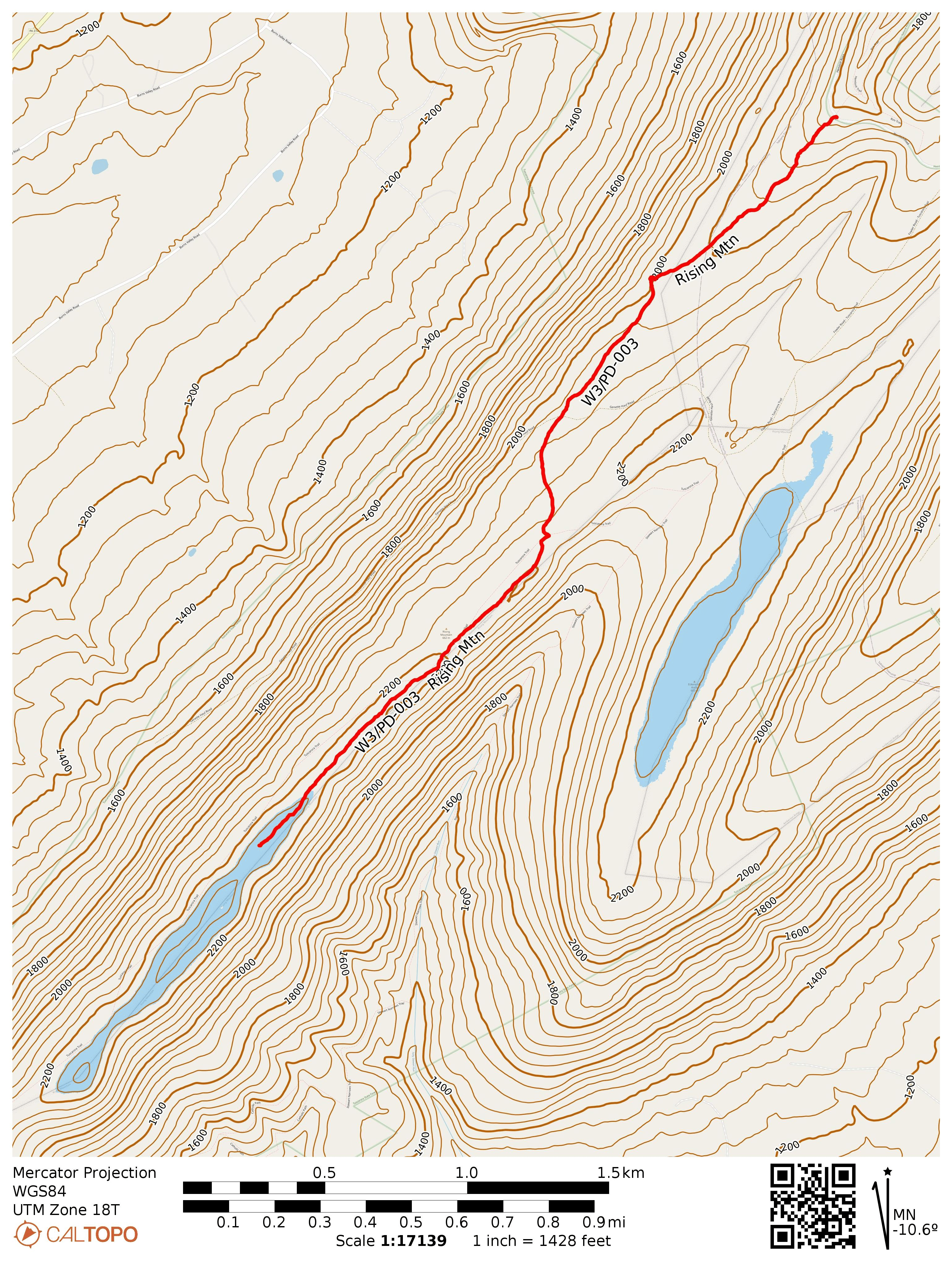
- Trailhead: 40.23508, -77.64443 : Hemlocks Natural Area parking
- Maps: [AA3TZ SOTA] [Tuscarora State Forest Map]
- Route: 4.5 mi RT hike on Bear Pond and Tuscarora Trail, 500 feet gain.
- POTA: US-5479 Tuscarora State Forest
After this hike I camped at Colonel Denning State Park, where I got in an evening POTA activation. The next day was a rainy morning, so I just found some picnic groves in nearby Fowlers Hollow SP and Big Spring SP for a couple more POTA activations on the way home. Big Spring was particularly pretty, and there is an abandoned railroad tunnel to check out on the next visit.