I stopped by Michaux State Forest on my way to Elizabethtown, PA to activate this SOTA peak. My last trip to Michaux SF had been a winter hike on the Appalachian Trail to activate W3/PD-007 Snowy Mountain at 2090 feet. This companion peak at 2110 feet is just a bit taller, part of the north half of the forest. These two are the most-activated peaks in the Pennsylvania Dutch region, and I had chased this one one three occasions! Activating it would add another complete to my “collection”.
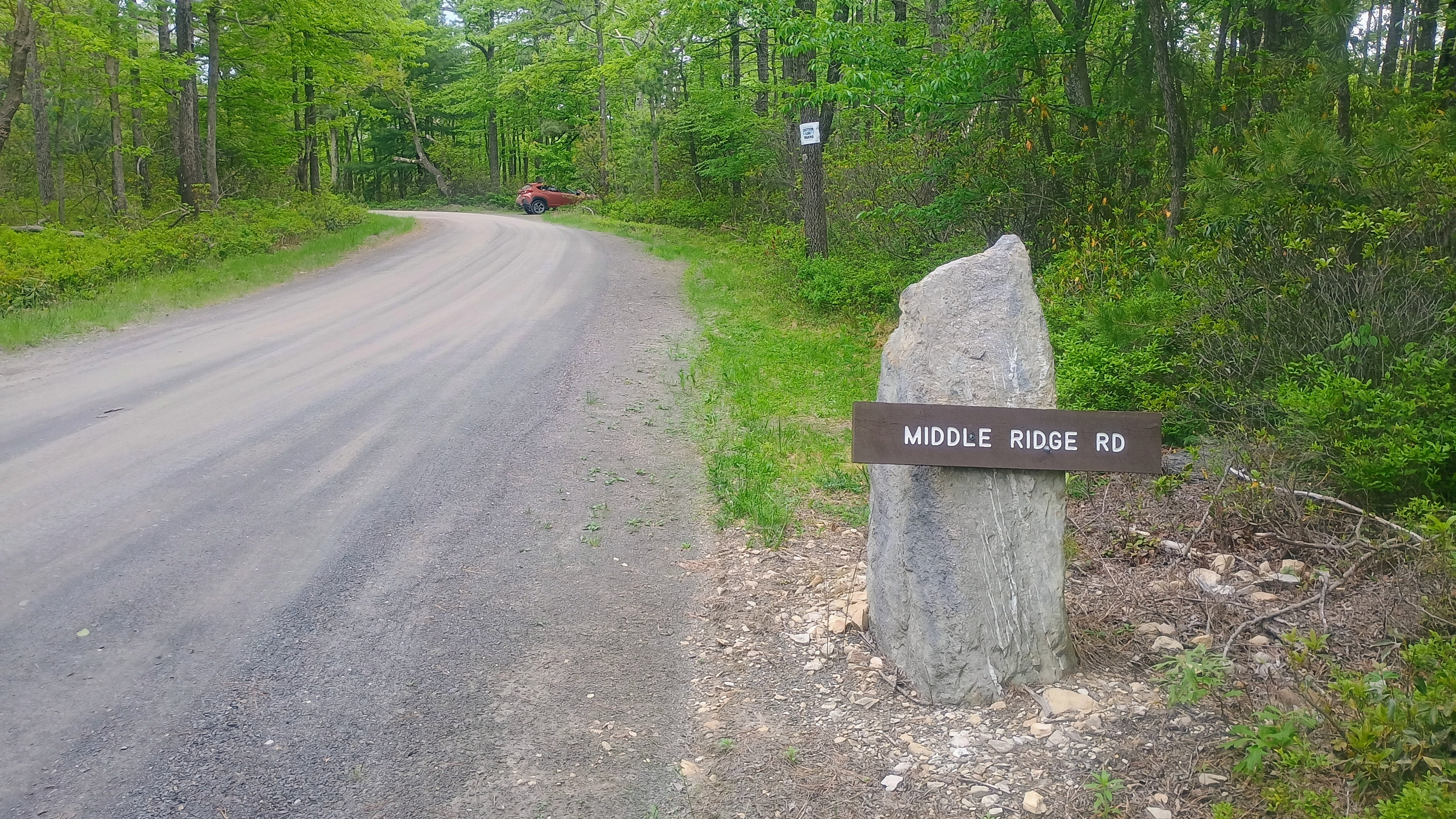
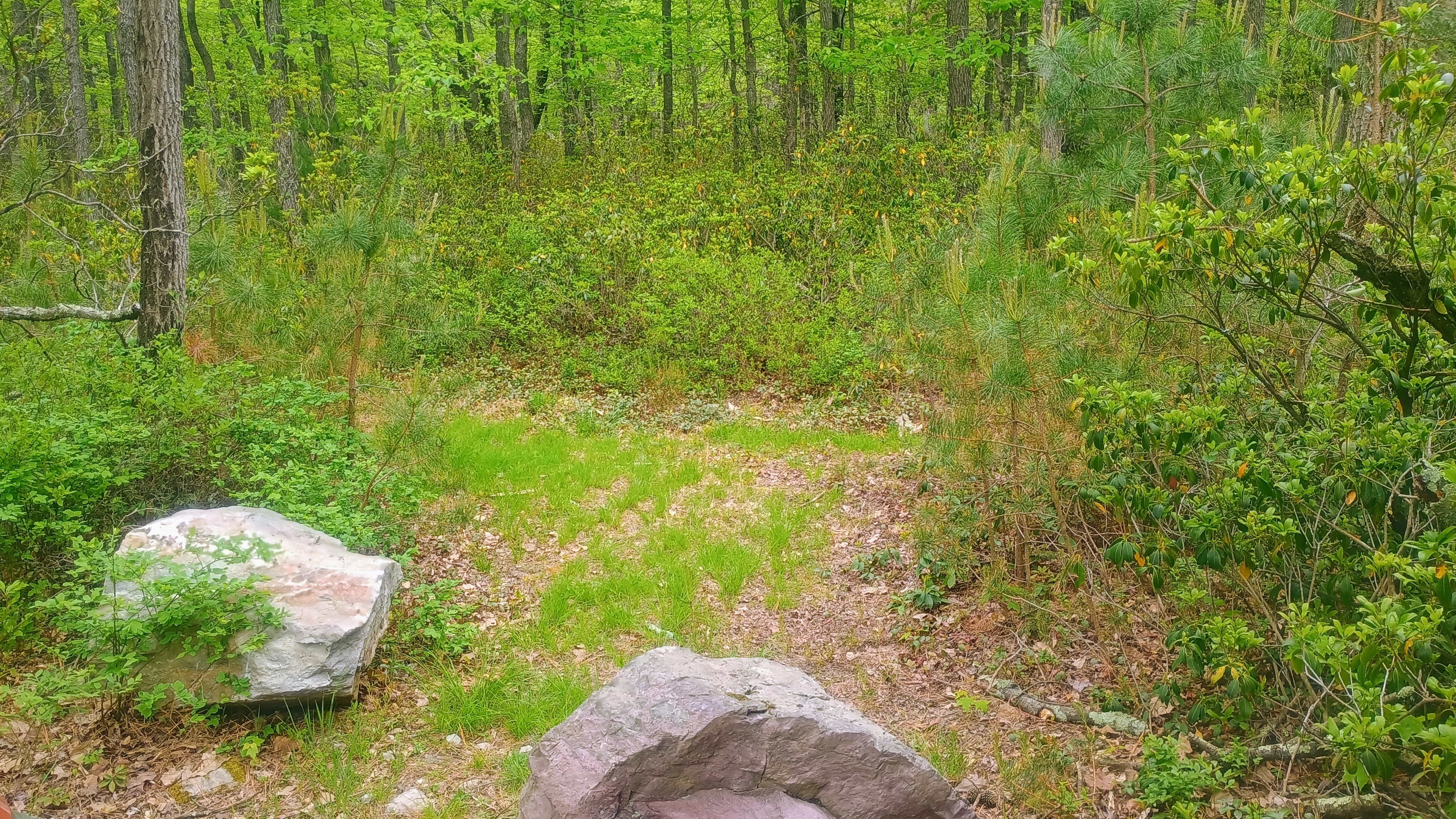
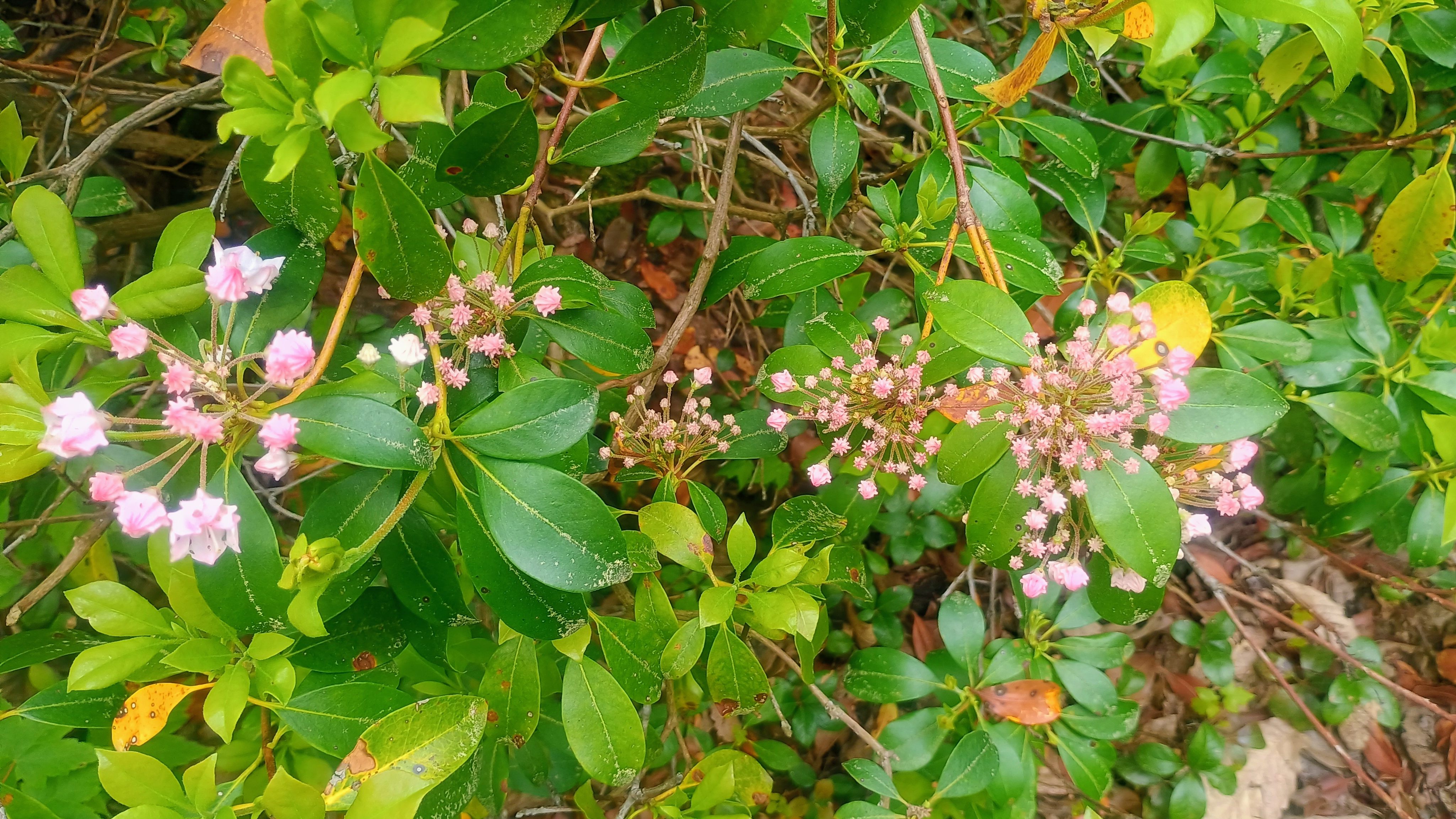
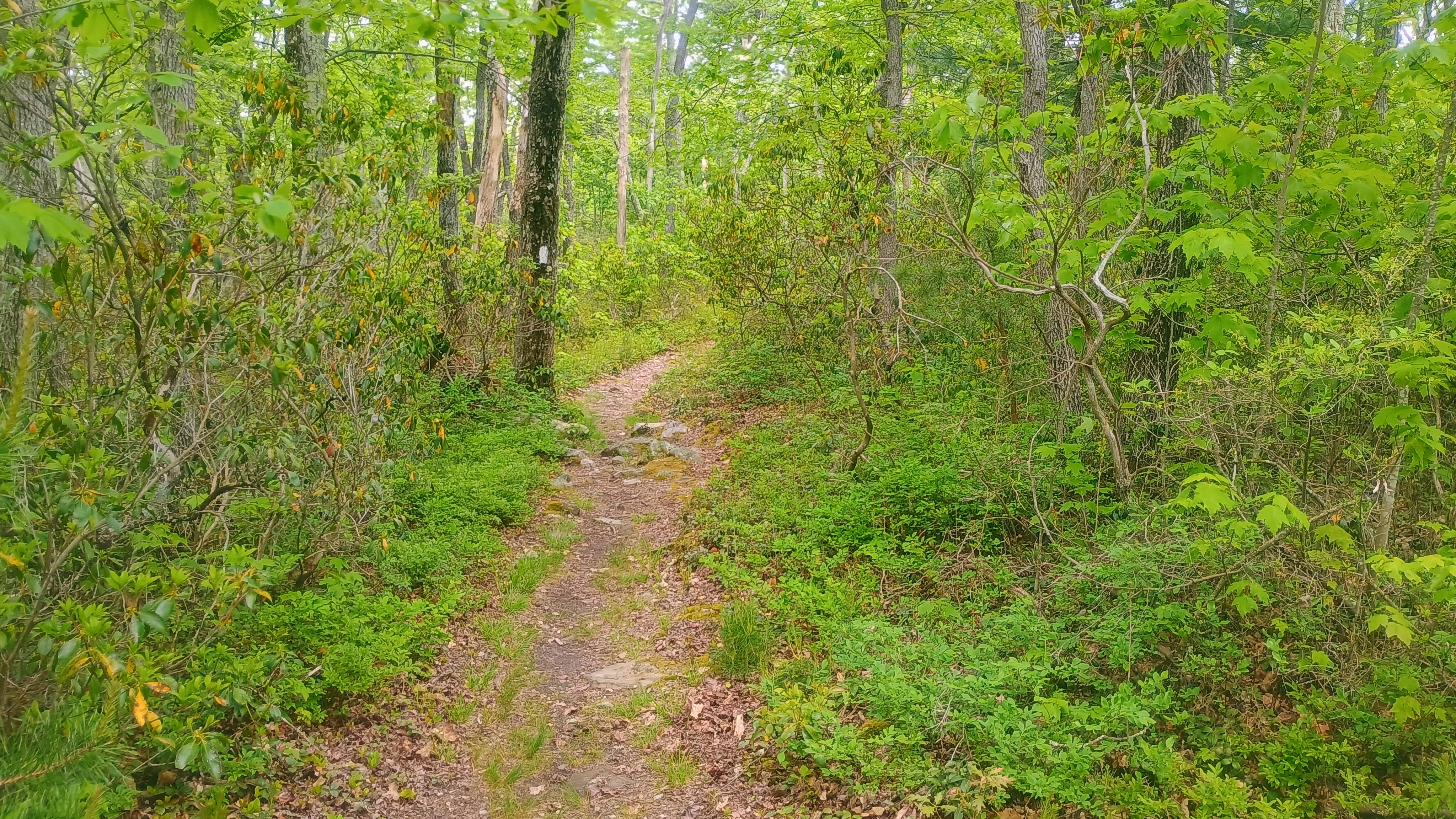
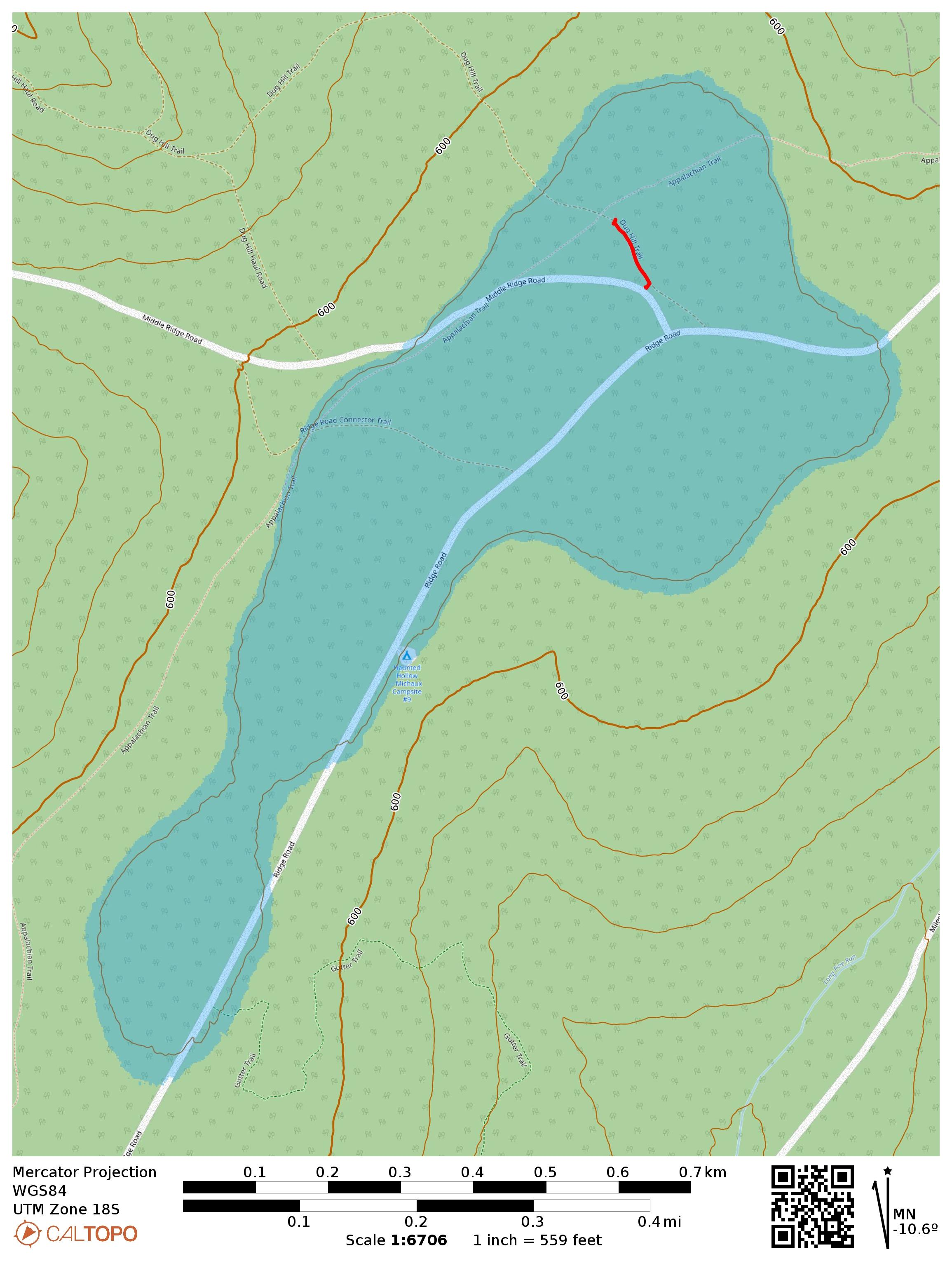
This is a drive-on and the Appalachian Trail goes through the activation zone. I drove along Ridge Road, turned onto Middle Ridge Road and parked where AC3B recommends, on a small grass patch large enough for one car. Here, a trail called Dug Hill Trail starts. As far as I can tell, it’s a short connector/mountain bike trail that gets little use. Critically, it passes right through the AT. I walked down this trail, admiring the little mountain laurel buds starting to bloom, until I got within 100 feet of the AT so I could activate it for POTA as well.
The turn on Middle Ridge Road is marked with this sign and the parking spot is just past it and off to the right.Dug Hill Trail starts just past the parking spot.The first mountain laurels are starting to flower!Peeking at the Appalachian Trail for good measure.
I set up my wire along the trail and got calling. Conditions were more settled after yesterday’s minor geomagnetic storm. I managed to get a couple S2S, WW7D on W7W/SNM-163 and AC7MA on W7W/CW-061. The Pittsburgh area SOTA afficionados tried to connect on 40m, but had trouble hearing me. I tuned my KX2 to 60m and managed to work Dan NM3A with a very strong signal, both of us using ~9W. He was using a 160m Carolina Windom antenna while my KX2 tuner got my end-fed 40m inverted vee to 2:1 SWR. I also was able to hear N2GBR, but he could not hear me. This has got me thinking about how to better weave 60m into my standard operating procedure now that the best days of Cycle 25 are behind us and it’s a long decline ahead.
This makes 39 completes! I have my eyes on Cornell Lookout near Lancaster for my 40th complete tomorrow, but it’s looking like a wet morning. I think I’ll stick it out — it’s not often that I find myself in eastern PA!
On a weekend trip to Huntington, PA with Luna, I got out for this first activation near Trough Creek State Park and Raystown Lake. While the peak is unnamed in the SOTA database, it is part of Terrace Mountain. It was late March and the temperature was a chilly 30F at the start of the day, but I welcomed that since my route would require 4 mi of bushwhacking round trip along the ridge. I parked at “Area 5,” not far from the famous Ice Mine, a small stairwell into a prospecting hole where cool air gets trapped underground and ice forms on humid days. It was cold enough today, so I refrained from climbing into the dark shaft at this time.
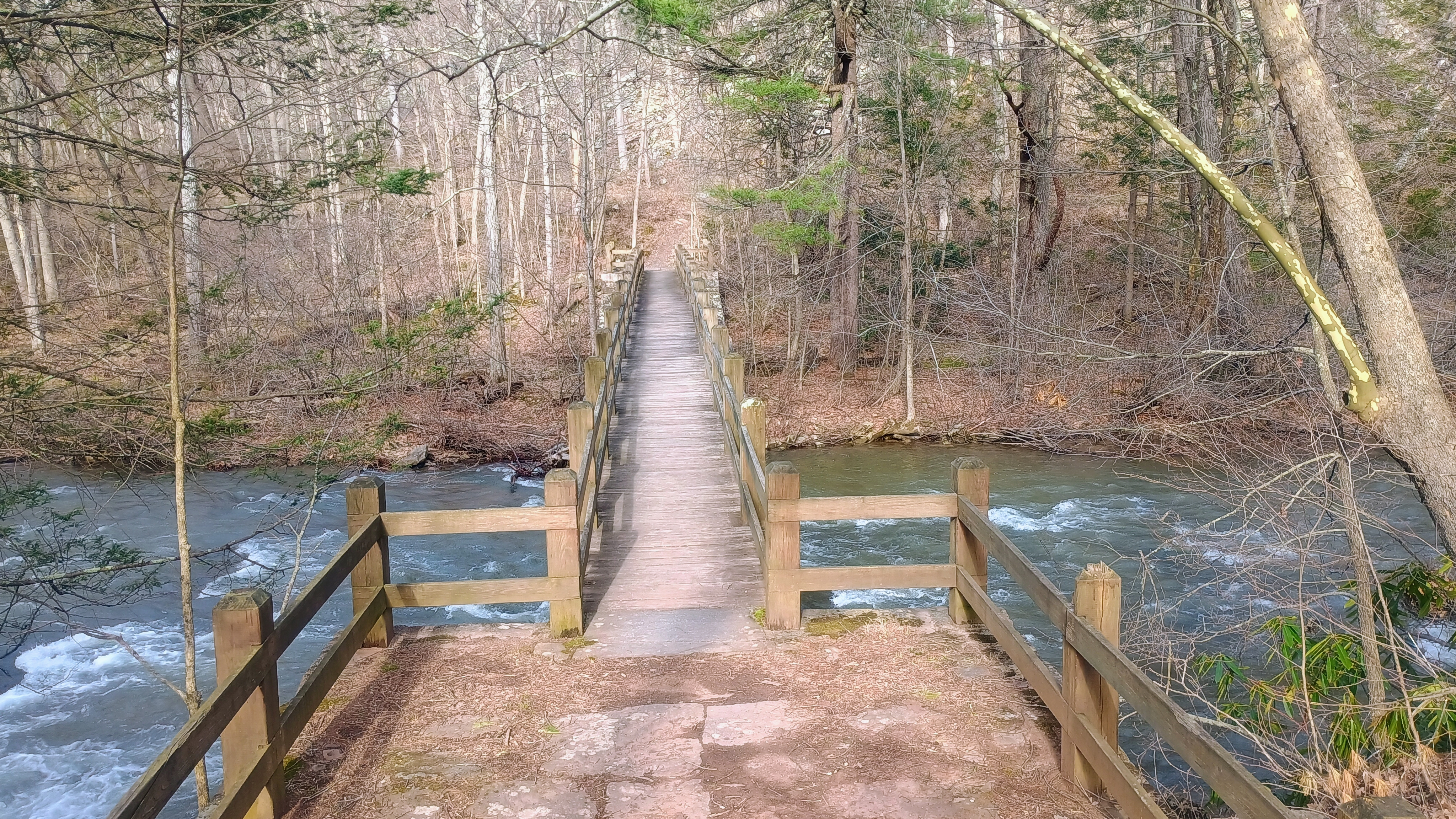
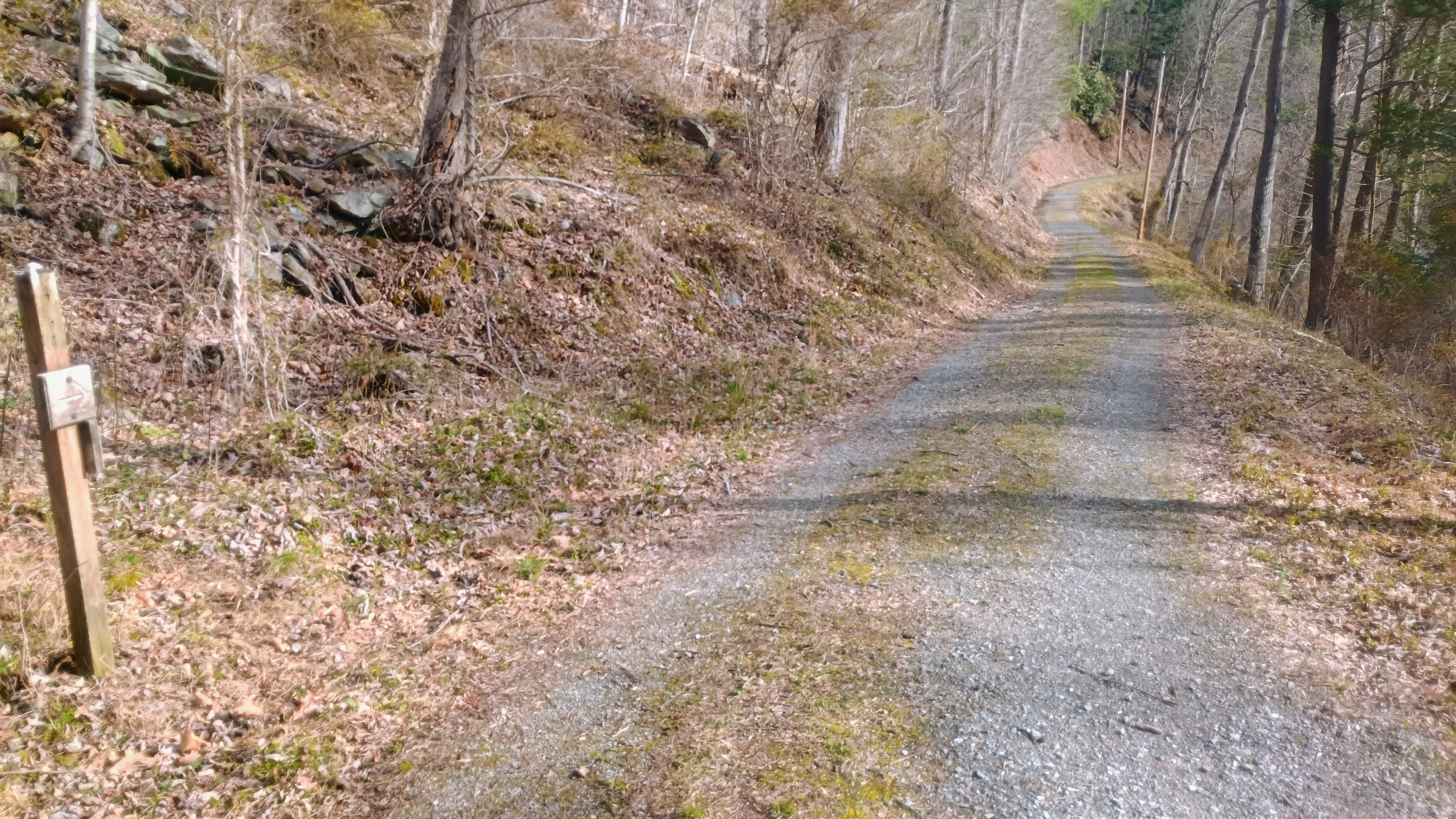
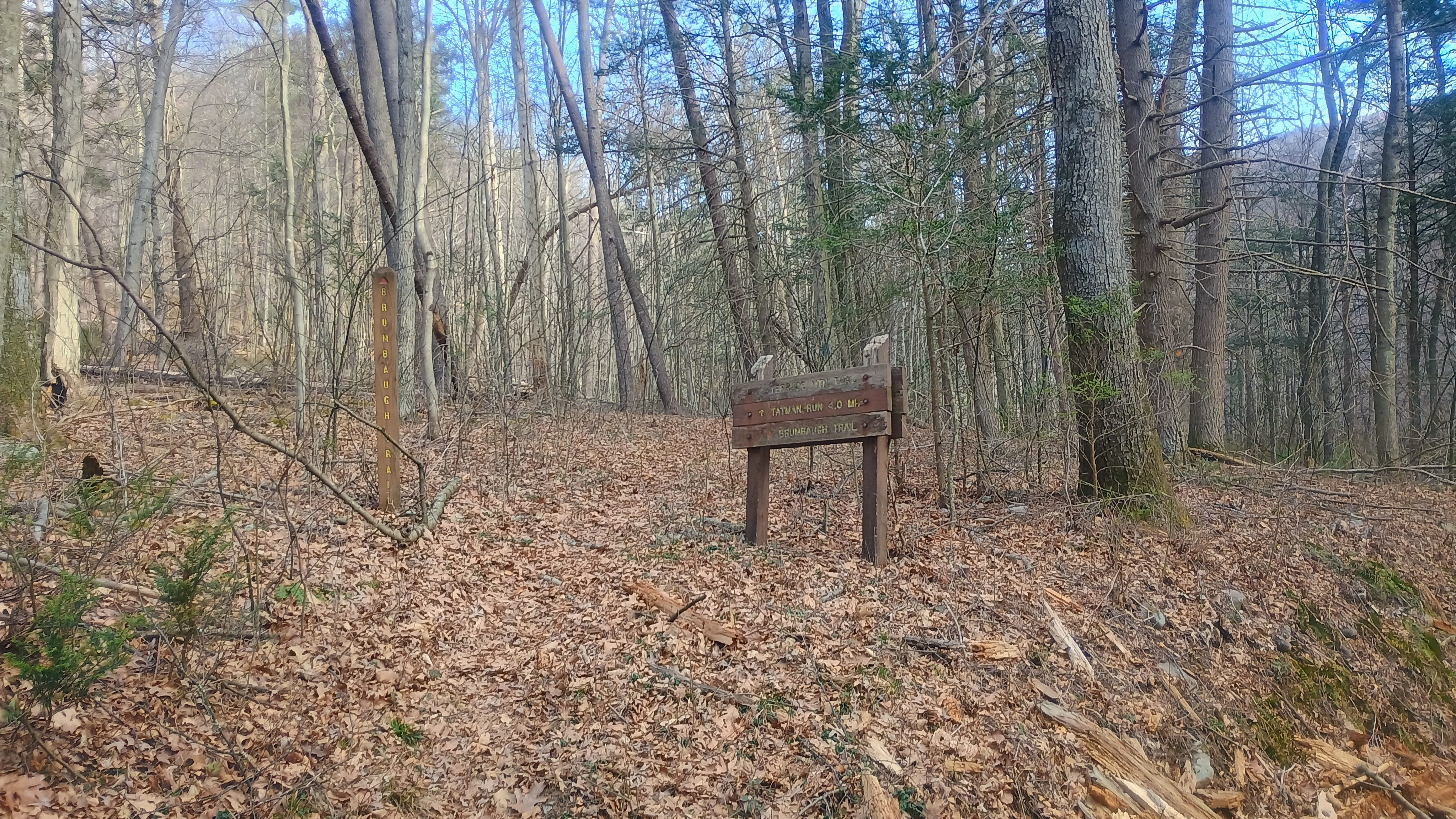
We crossed the bridge to Old Forge Road, and soon made it to the trailhead for Brumbaugh Trail.
Bridge from the parking area to cross the creek.Old Forge RoadStart of Brumbaugh Trail
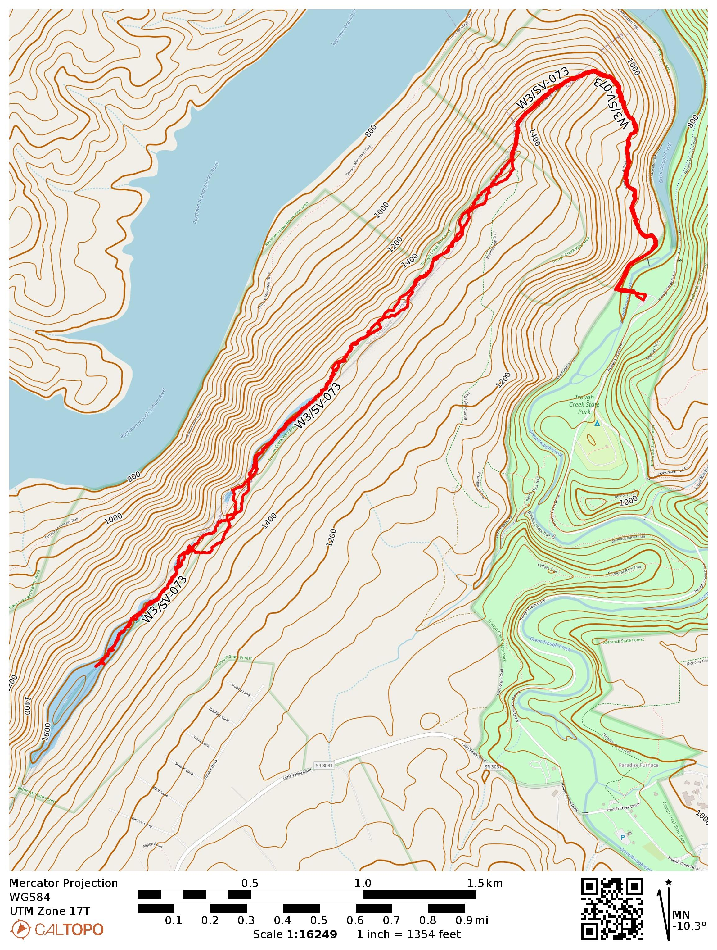
We climbed 750 feet of gain across just over mile on Brumbaugh Trail to get to the ridge of Terrace Mountain. The trail is marked with faded fed blazes. At this ridgeline, we were in the Trough Creek Wild Area of Rothrock State Forest, and about 2 miles of a bushwhack ridge walk was left to get into the AZ. It was a bit of a slog. There wasn’t much brush growing in early spring and the forest is fairly open, so it was pretty easy going, though Luna and I still kept getting her leash twisted around trees.
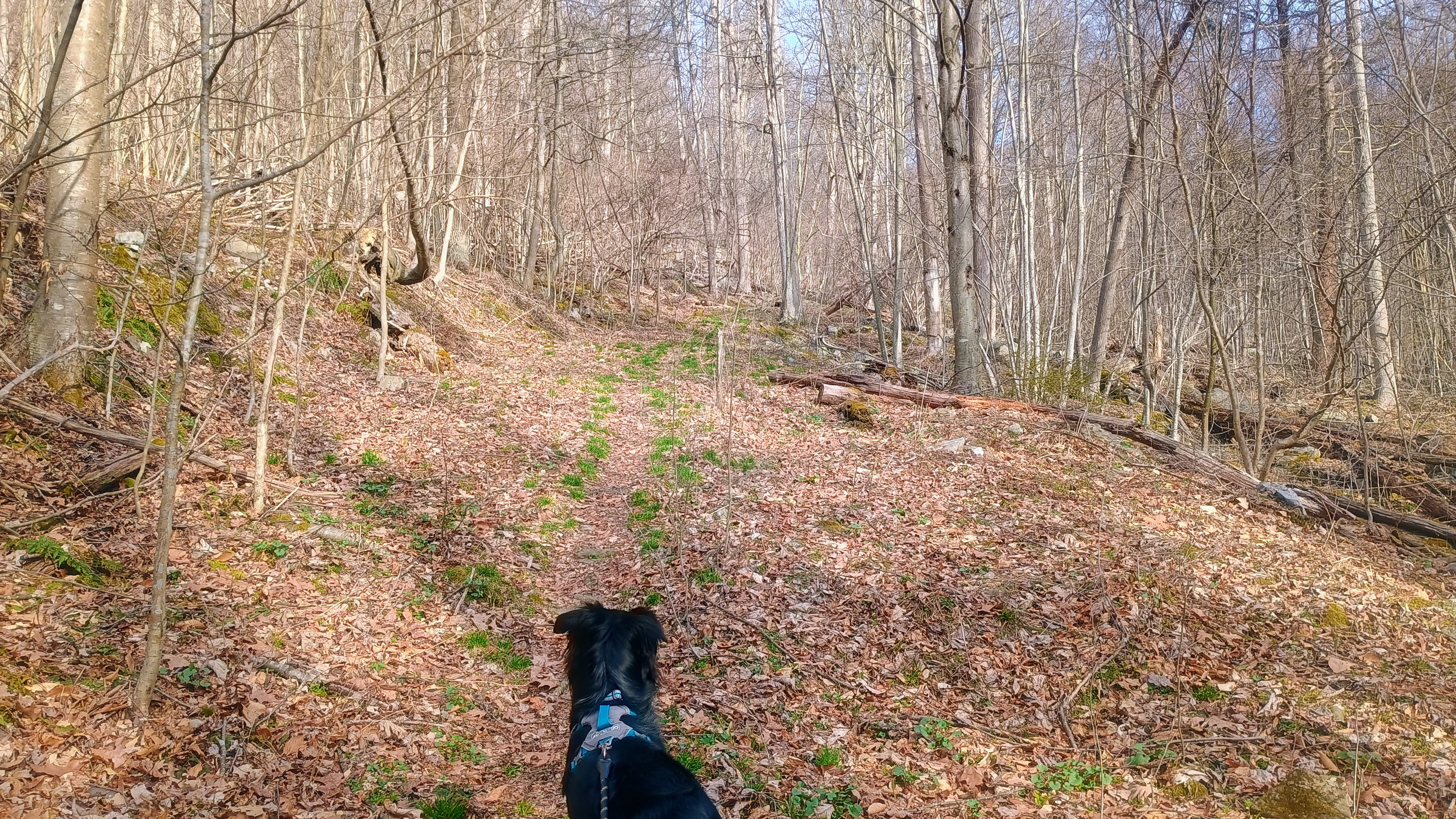
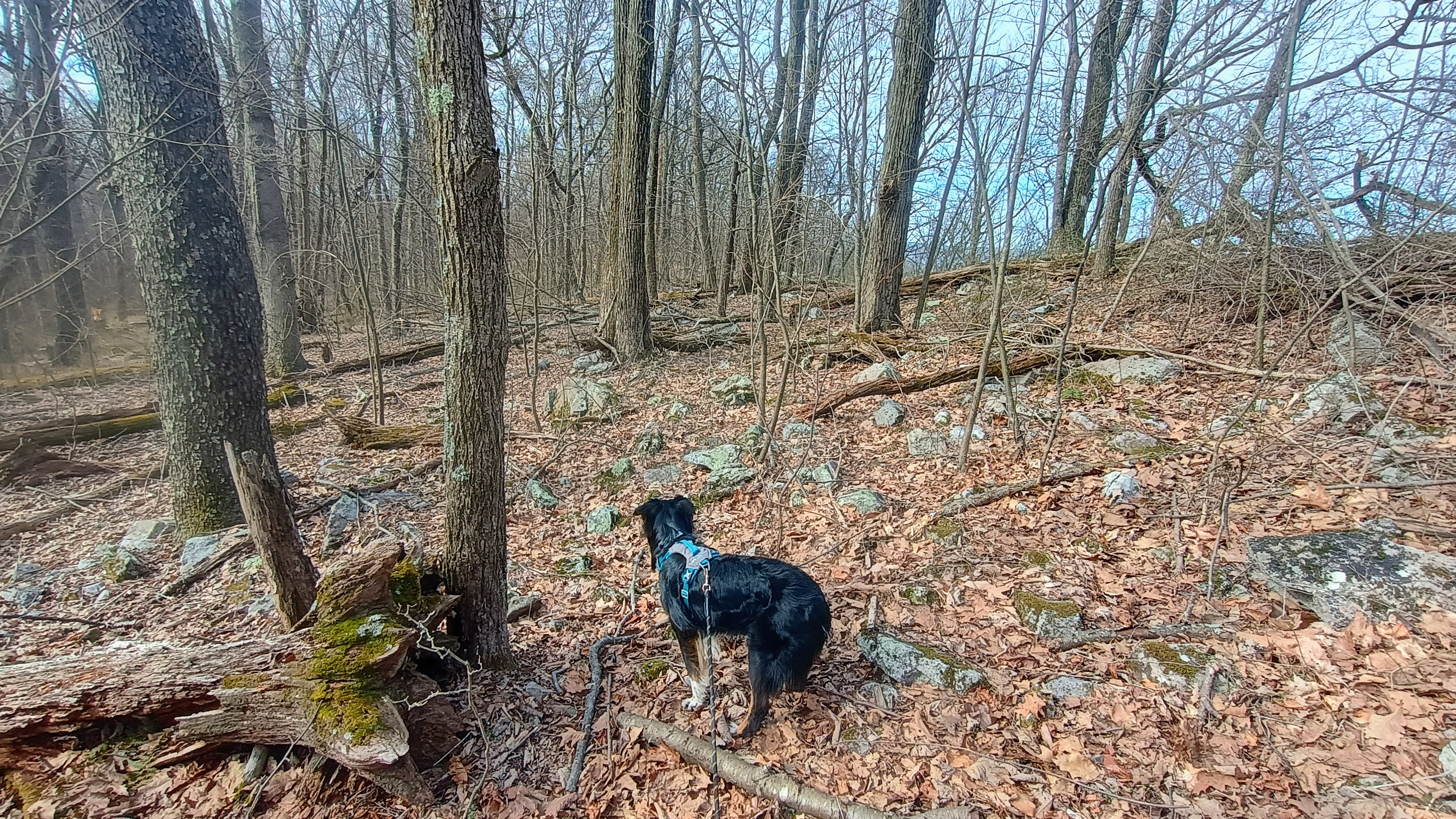
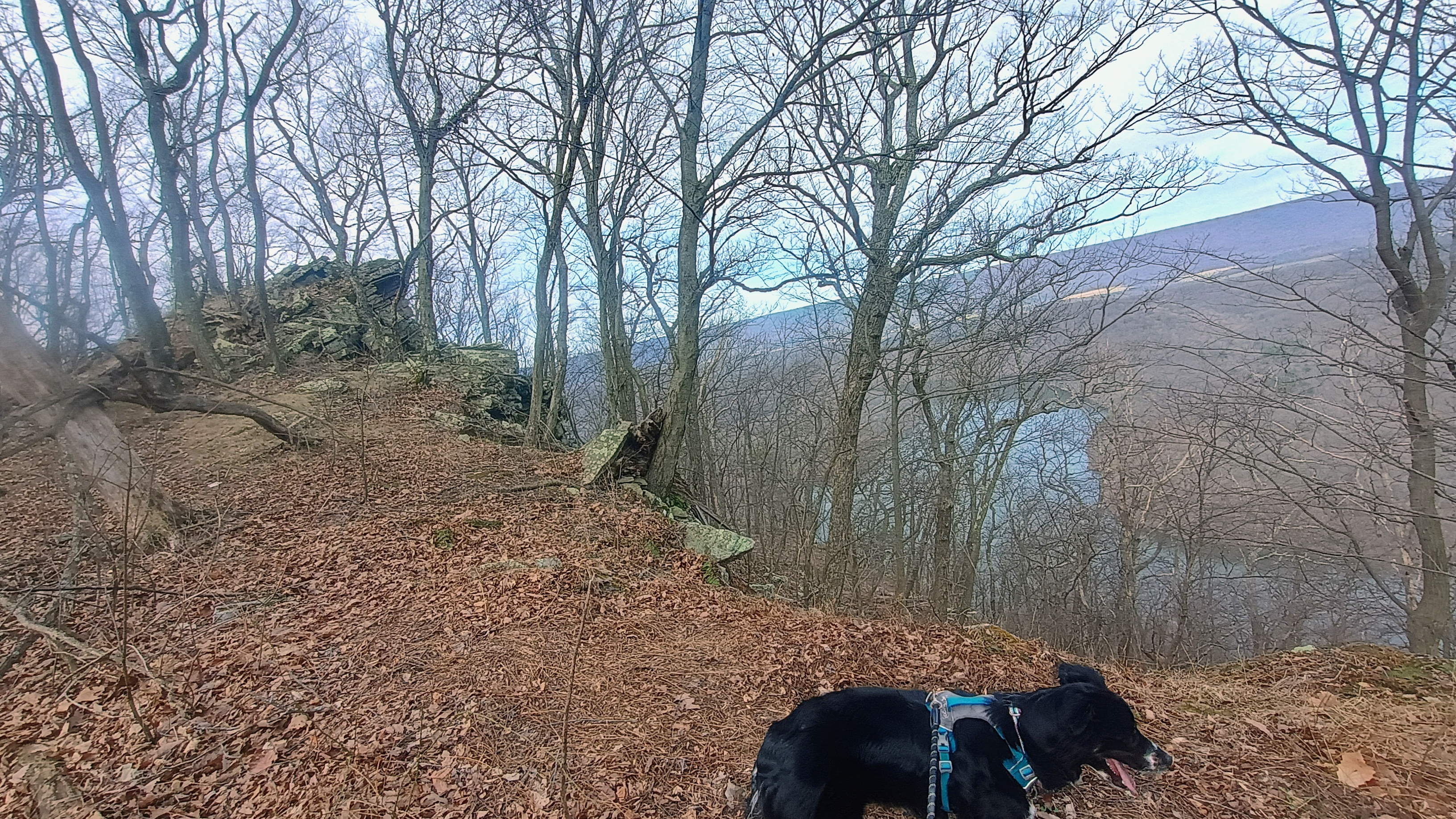
Luna looking up the trail.Heading off trail along the rocky ridge.Along the way are some nice views of Raystown Lake.Getting close to the AZ here.
It had started to warm up to about 40F once we made it to my operating point. Luna was quite tuckered, so she laid down after eating a snack and let me get going with the radio stuff. After working F4WBN and EA1AER on 15m, I switched to 40m and stayed there the rest of the activation, since it was still fairly early in the day. I really do enjoy working the locals!
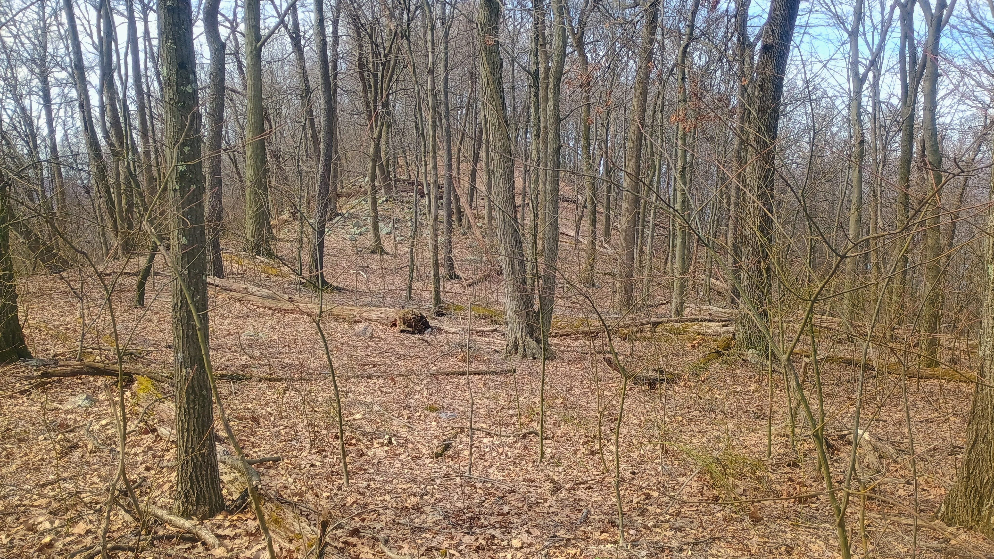
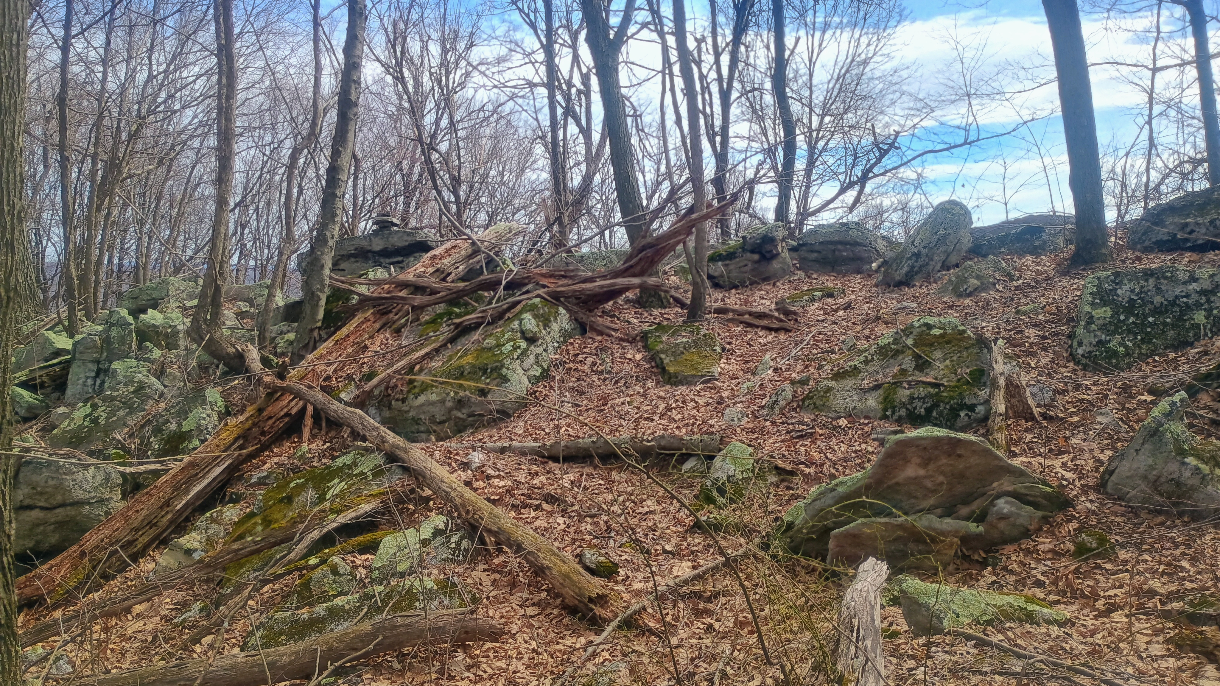
View of the activation zone.
I got three S2S: Ron NR3E on W4K/EC-001 Black Mountain, the high point of KY, Roy WN3F on W4V/SH-012 Old Rag, a famous hike in Shenandoah, and Eric VA2EO on VE2/ES-014 in QC. Luna, no doubt emboldened by her success following our track back from Backlog Mountain the day before, took the lead on our return hike. She lost our trail almost immediately (or perhaps decided to follow the scent of some woodland critter), but I am glad we had my GPS as backup.
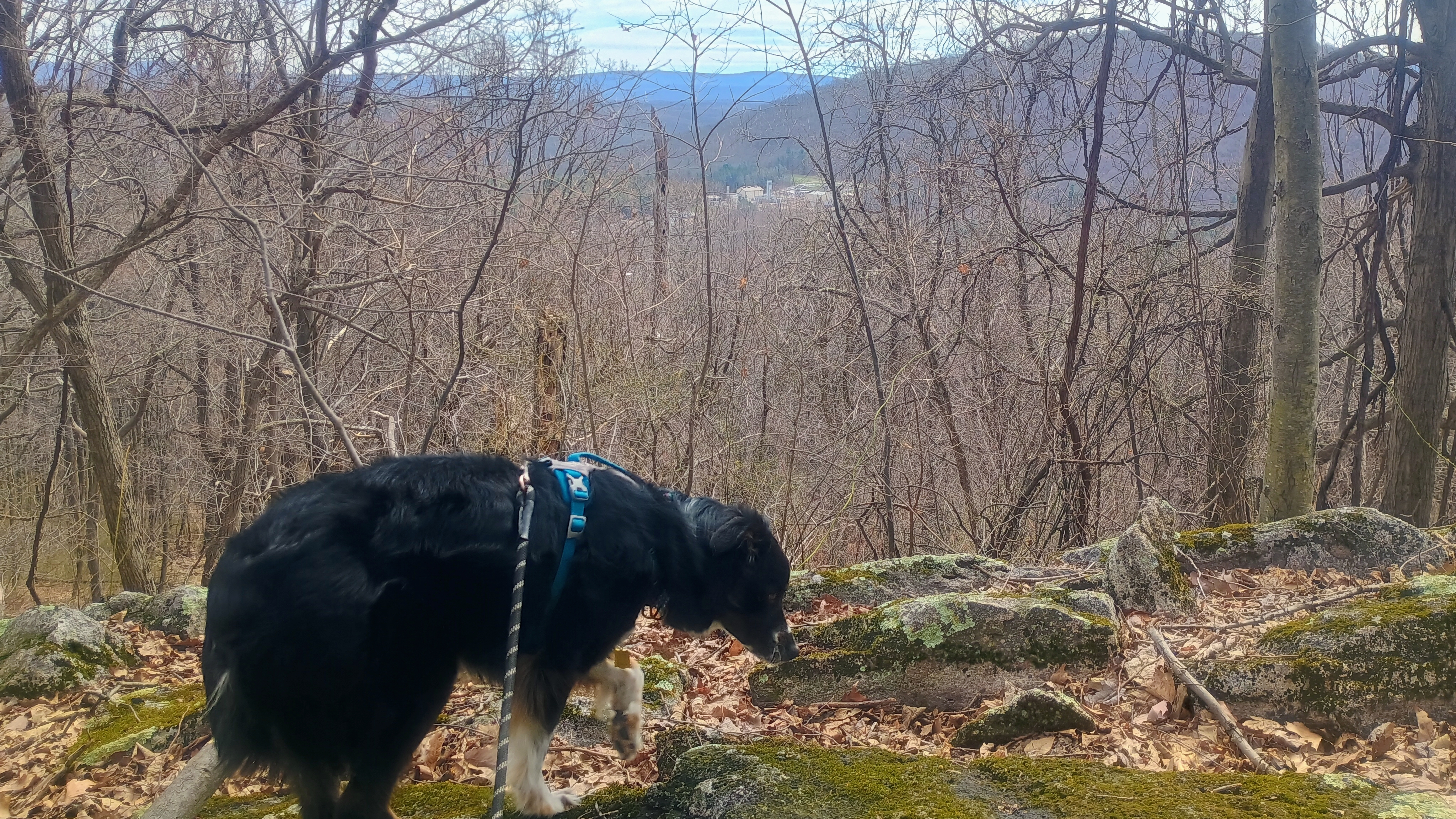
Luna’s trying to sniff out our path for the return hike, but I think this track was a little long for her nose. That, or she started tracking a chipmunk instead.
There aren’t many SOTA first activation candidates like this left in PA. The entire approach and AZ are on public lands, and only real obstacle is to bushwhack a while. It was nice to get this one activated for W3 SOTA, and for Luna to notch her first FA as well!
Trailhead: 40.3308,-78.12498 : Parking Area 5 in Trough Creek State Park
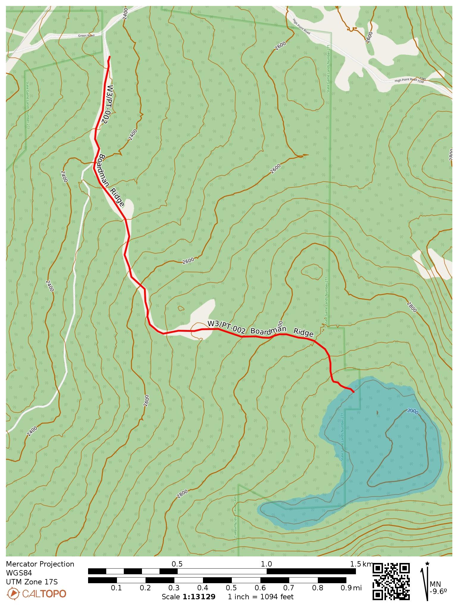
This peak has only been activated 12 times before my trip, which is surprising given that it’s only 20 minutes away from W3/PT-001 Mt Davis, the high point in Pennsylvania. The summit itself is on private property, but there is a path to the activation zone completely on public lands, through State Game Land 271. Dale N3HXZ and Jim KJ3D had recently tried this path out, and so I felt confident going for it myself. This time, I brought out my MTR3b v4 (the Currahee) for its first SOTA activation, along with a 40m EFHW tuned for deployment as an inverted vee.
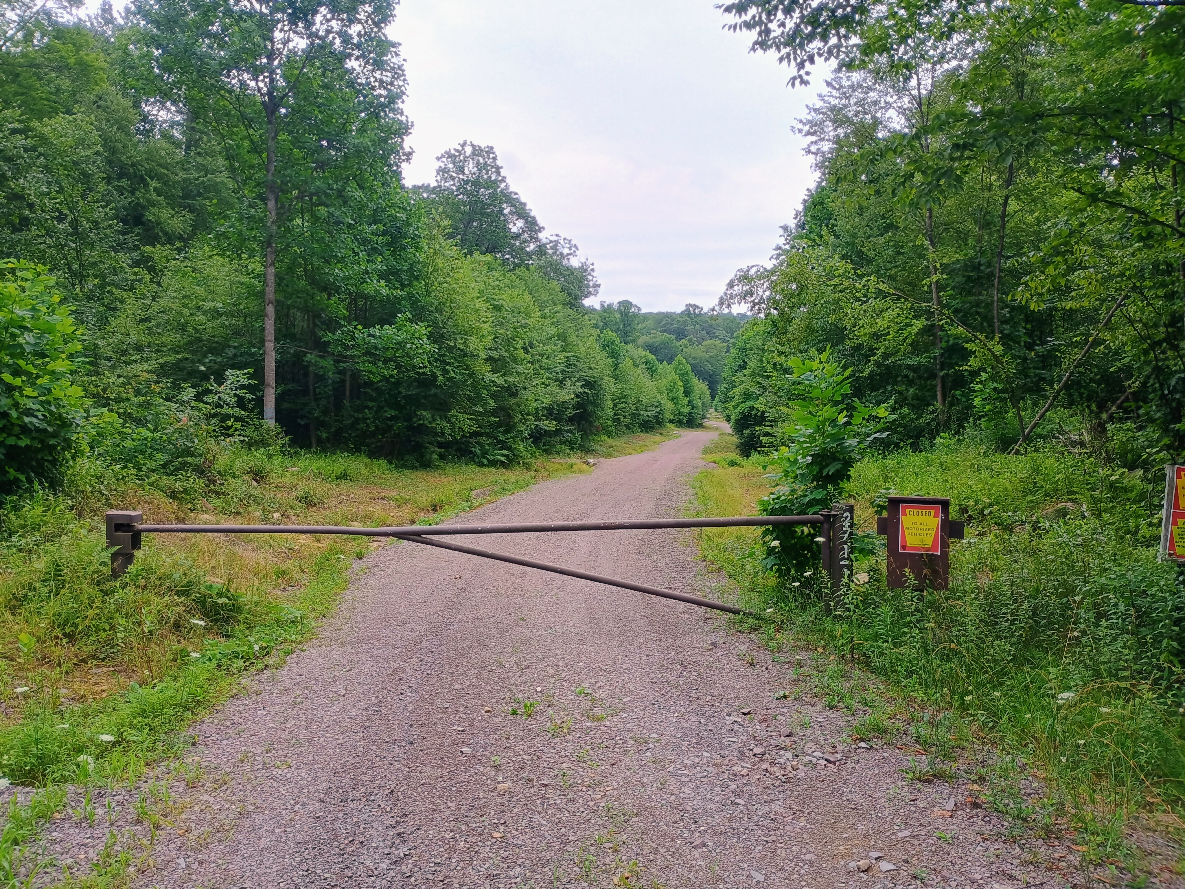
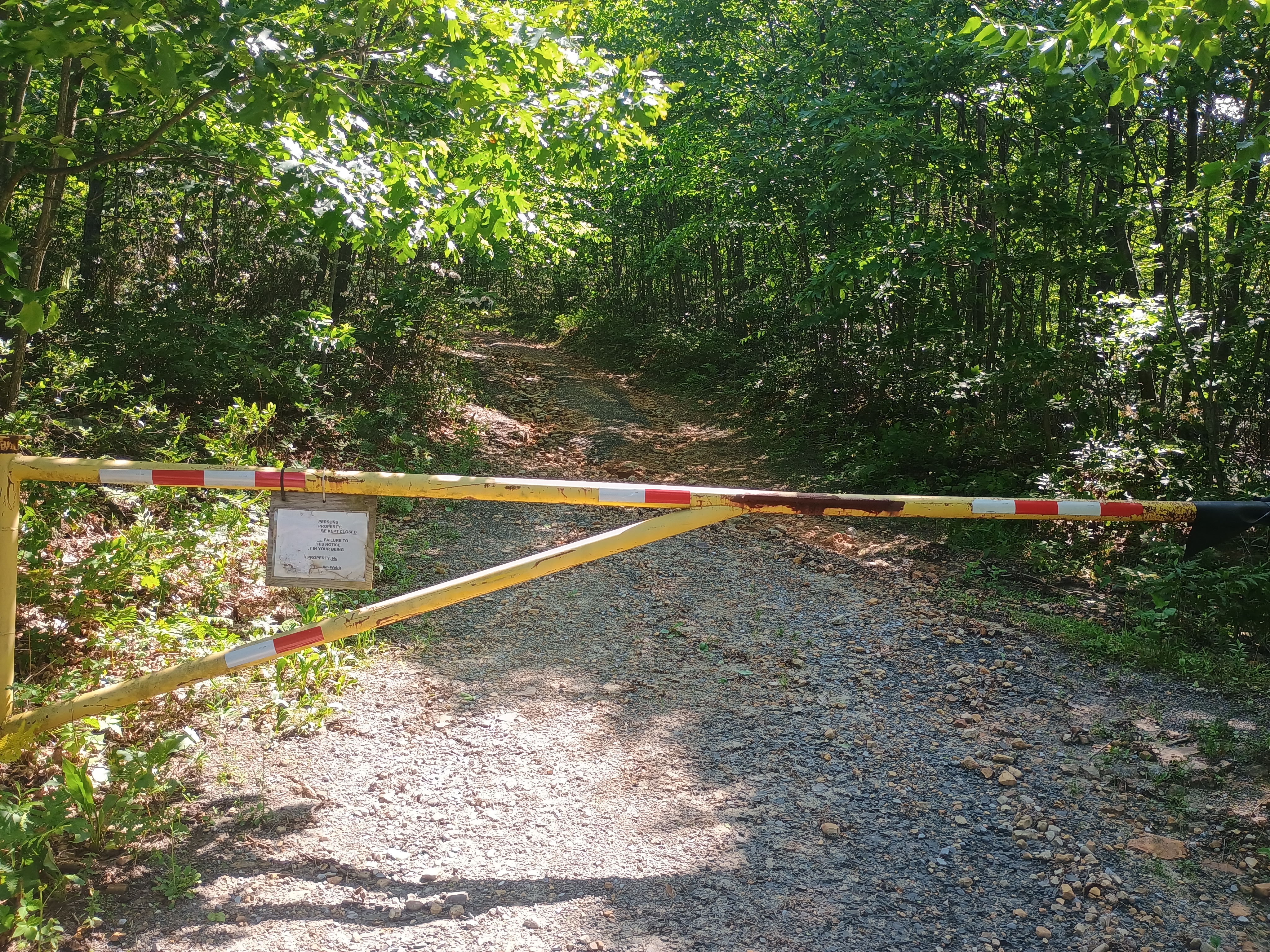
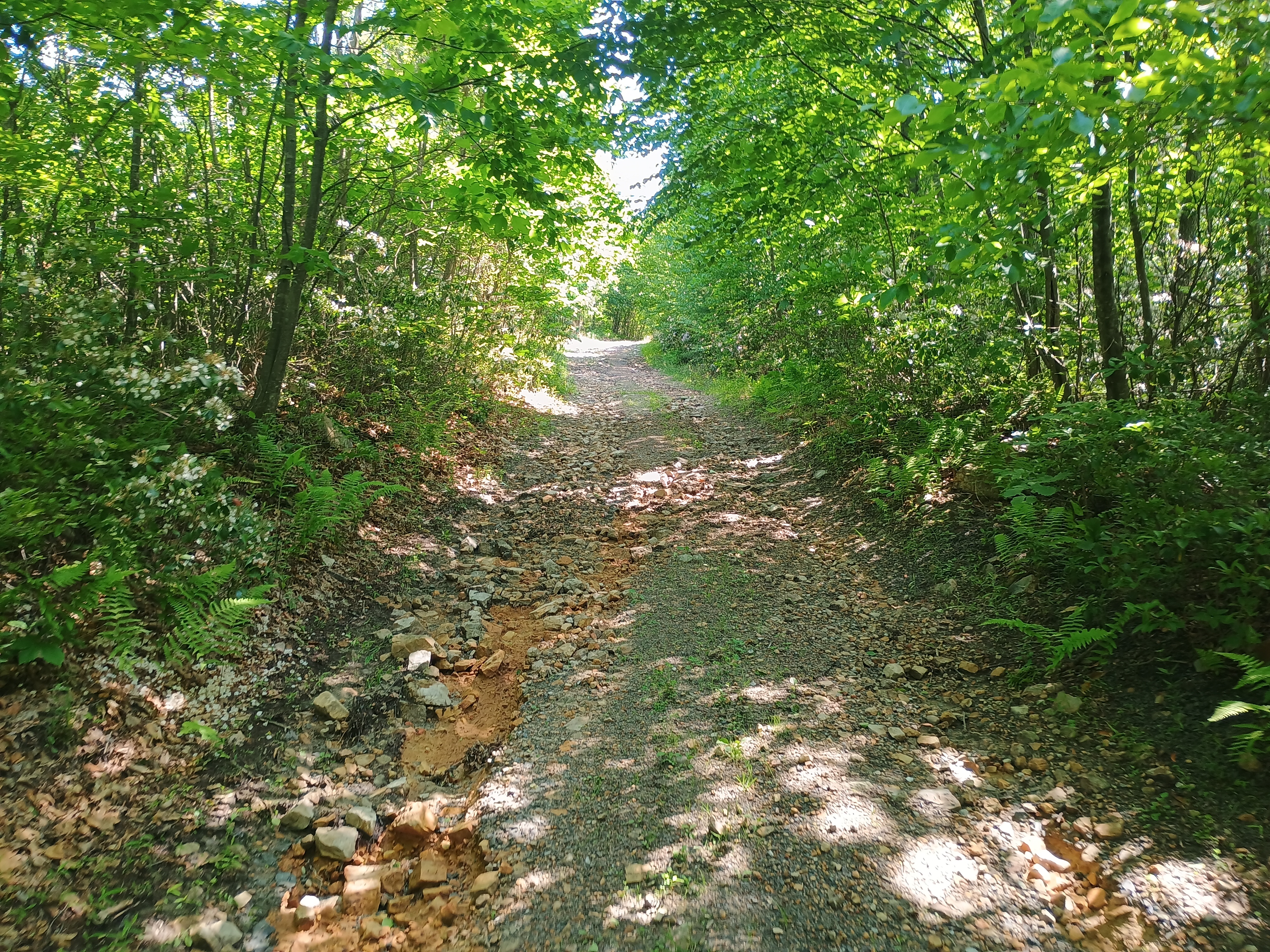
The initial hike from the gate in the parking area was no problem, and followed a dirt road. A little over a mile in, the trail opens up into a large clearing and it becomes more difficult to find the the trail. From here, you basically need to walk east and follow the easiest path that takes you to a higher elevation. The state game commission map for the area was last published in 2012, and indicates a road should continue east from this clearing, although it appears that the state has let this road be reclaimed by vegetation. If you attempt this in the summer, make sure to take all tick-related precautions you can. I finally got around to treating set of hiking clothes with permethrin, so I felt confident trudging through the taller grass.
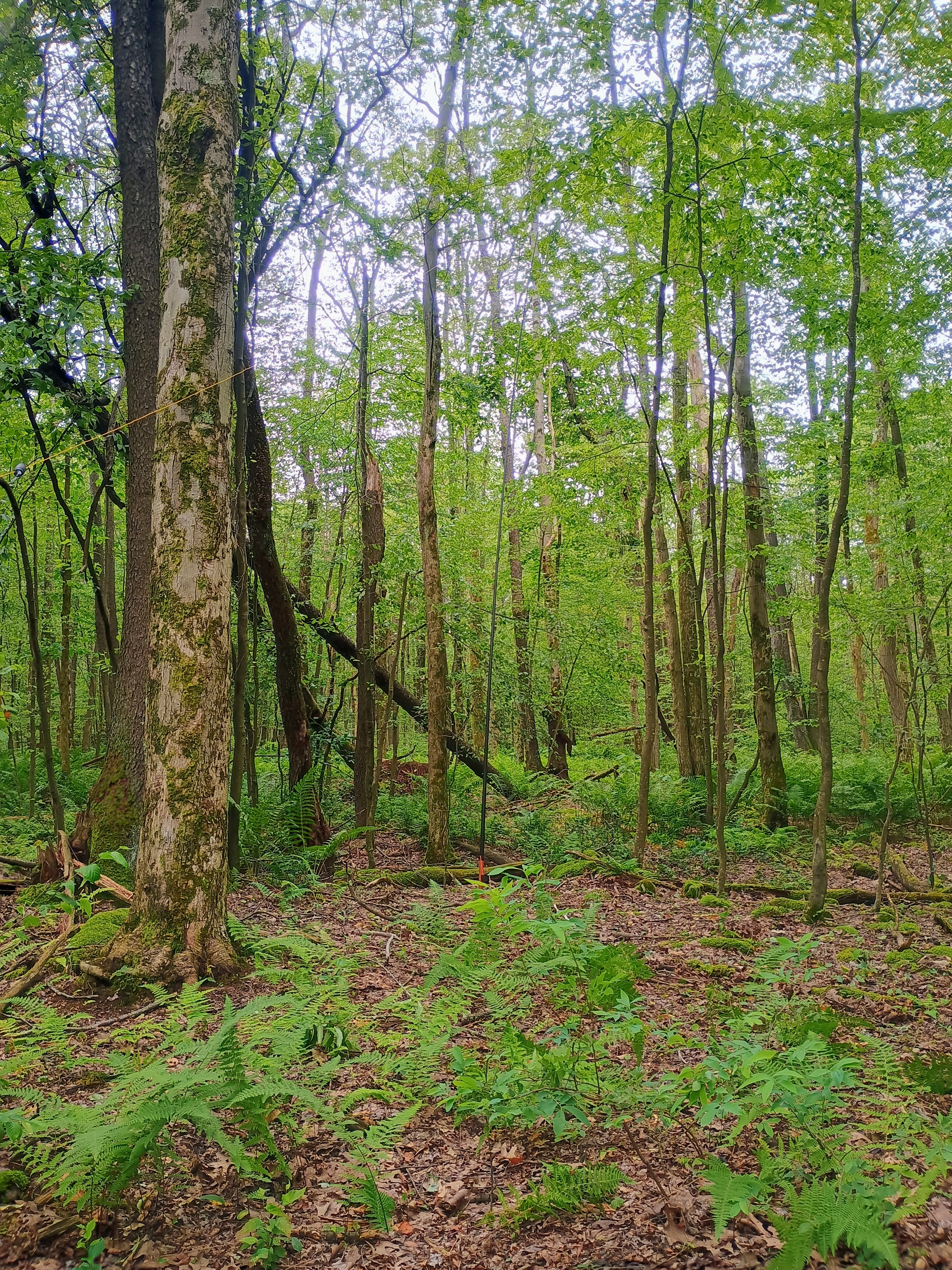
I did lose the trail a couple times, but the last 0.25 miles were going to be a bushwhack regardless. I just used my compass to help me continue moving east and generally followed the hill up. Just at the edge of the game land, where it overlaps the activation zone, was a good clearing to set up and operate. The inverted vee worked well, but I also think the bands were cooperating this morning! A porcupine ambled through the forest about 20 feet away from me as I was working, and it was huge! I didn’t get a good picture, unfortunately.
I scored 31 QSOs in about an hour on 40m and 20m, including three S2S contacts: KC1ONG on W1/NL-004 in New Hampshire via 20m, K2JB on W4V/GC-018 in Virginia via 40m, and AA4K on W4T/SU-068 in Tennessee. I really enjoyed using the radio and am puzzled by its negative reception among some commentators online. Most complaints seem to single out the LED screen, which I could see becoming hard to read in direct sunlight. Since western PA hikes usually have tree cover (and the sky is often overcast), I feel like that isn’t going to be a problem in most cases.
This hike is worth adding on to nearby Mount Davis, which is a drive-on. I did just that!
Trailhead: 39.78370, -79.26640 : State Game Land 271 Parking Lot. I had to take it slow for the last few tenths of a mile, as the road was pretty rough.
This summit is on private property, so you have to be sure to get permission. The landowner, Steve, who manages access to the top is friendly and curious about amateur radio after letting a number of hams go up over the years. I got Steve’s contact info from Dale N3HXZ. He’s generally fine with people coming up, as long as it’s not during hunting season (there’s a hunting club somewhere up the mountain) and access to the gate at the end of Black Bear Lane is not blocked.
After agreeing to show Steve my radio when I was finished, I parked to the side of the yellow gate and started walking up. Mountain laurel was in full bloom. The trail was shaded, and being above 1800 feet of elevation, I was on the lookout for timber rattlesnakes. I didn’t see any today, but Steve did mention I should be careful. The jeep trail goes to a black gate, and continues onward from there.
The ground gets more sandy as you climb, opening up into a wide sand pit. There would be lots of space to put an antenna up here, but it was just under the activation zone. I kept climbing to the actual peak and there was a strong breeze along the more open ridge with plenty of space to put up an antenna mast. I believe I stopped just short of the peak, since I did not come across the hunting club.
I got four S2S contacts: N1CLC in AZ, KE5AKL in NE, N0QLR in VA, and WB2FUV NY. I hiked down and chatted with Steve for a while. Radios reminded him of the how characters in the apocalypse film Reign of Fire (2002, top billing shared by Mathew McConaughey and Christian Bale) coordinated their assault on Earth-conquering dragons. Sounds like a wild time – it’s going on the movie night list!
Trailhead: 40.14132, -78.49662 : At the yellow gate at the end of Black Bear Lane, a gravel road.
Rager Mountain (2589 feet) is a classic drive-on western Pennsylvania SOTA peak. There is a high-tension powerline cut that crosses directly over the summit proper, and a good amount of natural gas processing infrastructure along its flat plateau (that leaked 27,000 tons of methane in 2022). I first activated this peak by driving south from US-22 to Dishong Mountain Road, then along the aptly named Gas Company Road, and had a fairly uneventful activation on one of the trails south of the peak. As Jody K3JZD writes in his activation notes, this is a ‘plateau summit’ with with a large activation zone.
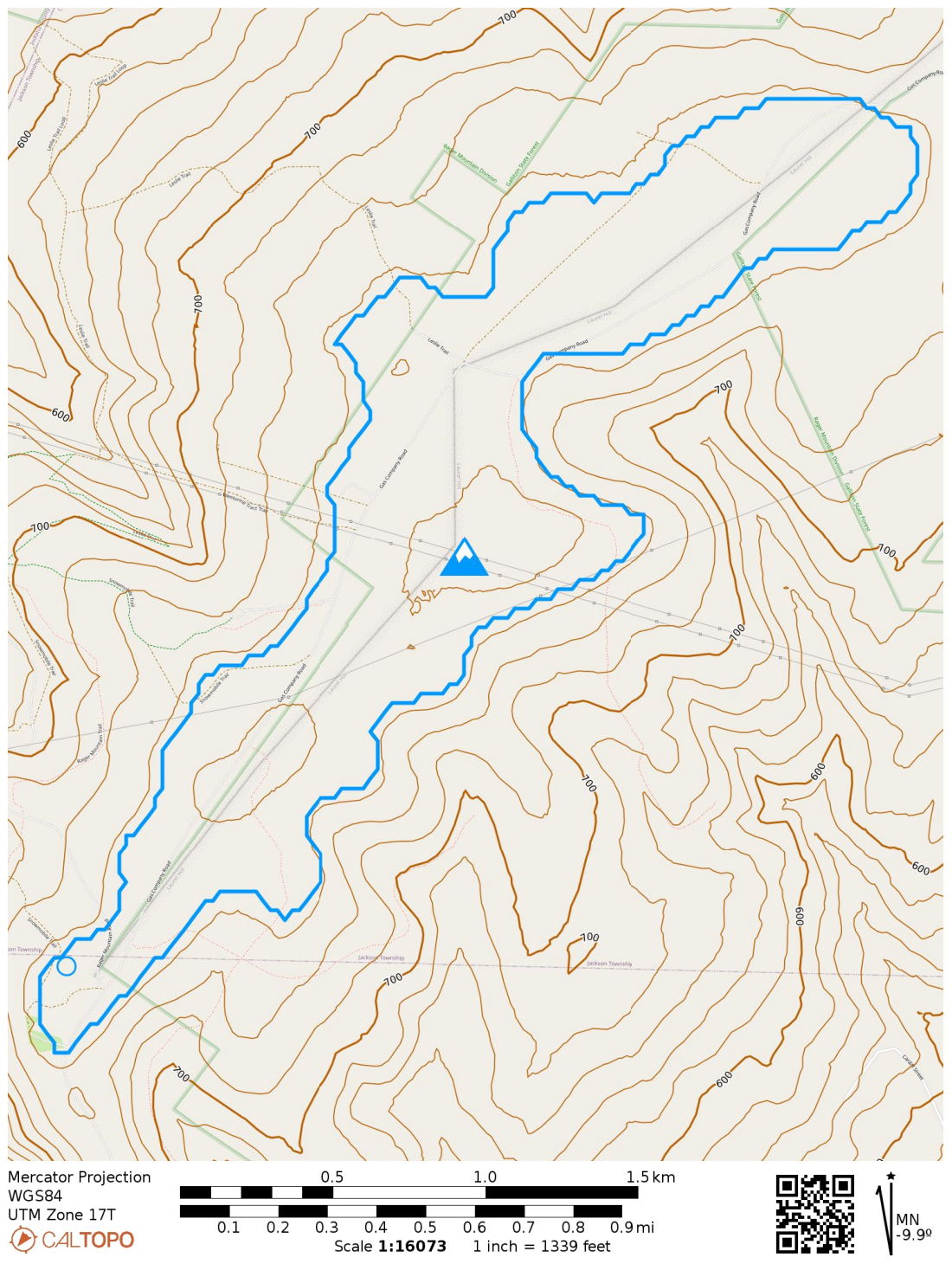
Activation zone for Rager Mtn plotted using N6ARA’s activation zone estimation tool (https://activation.zone/). The circle was my approximate operating point, a bit off from some snowmobile trails.
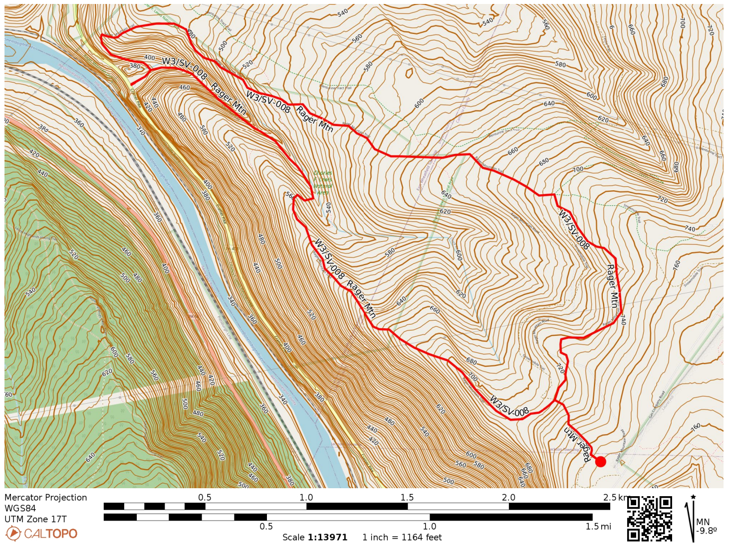
You can see that portions of Gallitzin State Forest overlap the activation zone, so my plan for this return trip was to hike up to the southwest edge of the AZ through the forest to a point surrounded by some snowmobile trails. Luna was coming with me this time, and I wanted our hike to burn off enough energy so that she wouldn’t get bored during the “sit and goof around on the radio” phase of the excursion. The Clark Run/Rager Mountain Trail loop promised 1400 feet of elevation gain, which I figured would do the trick!
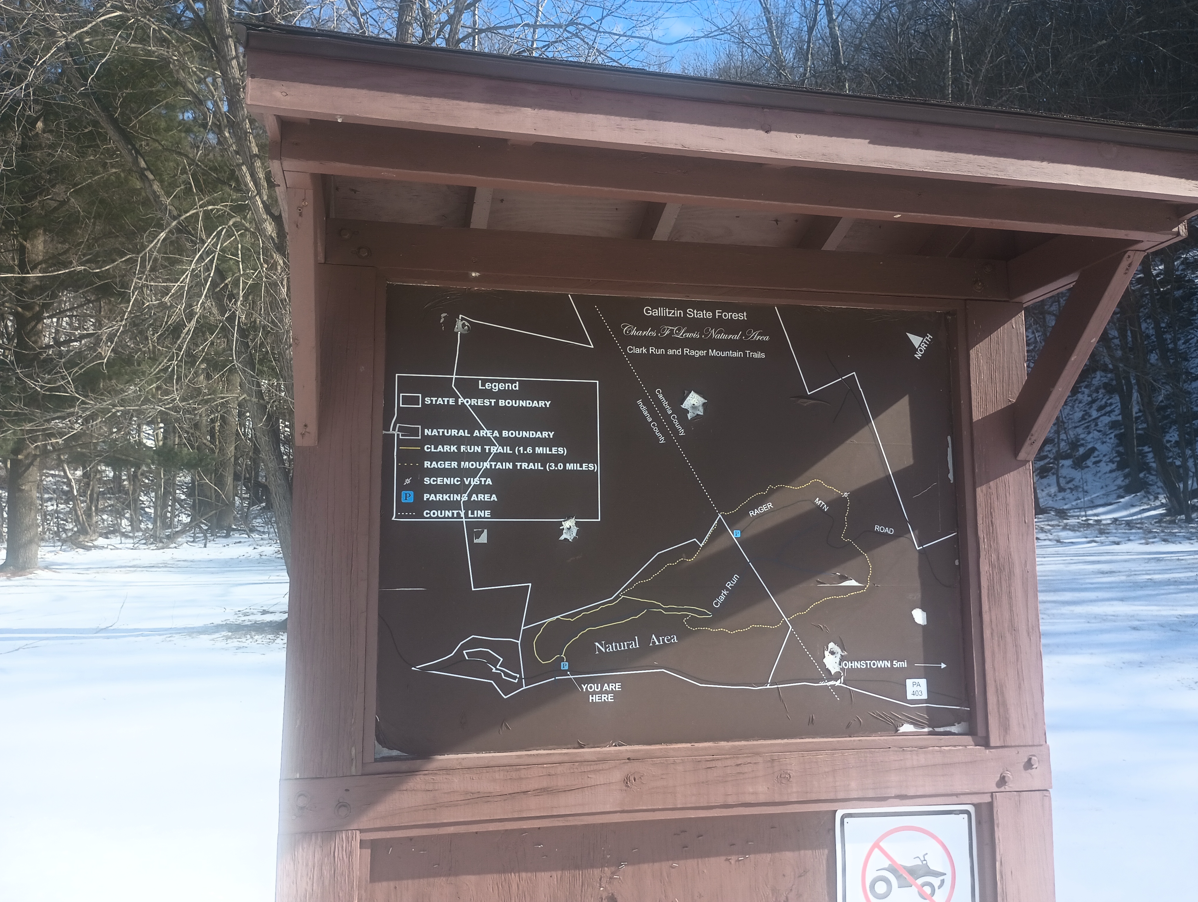
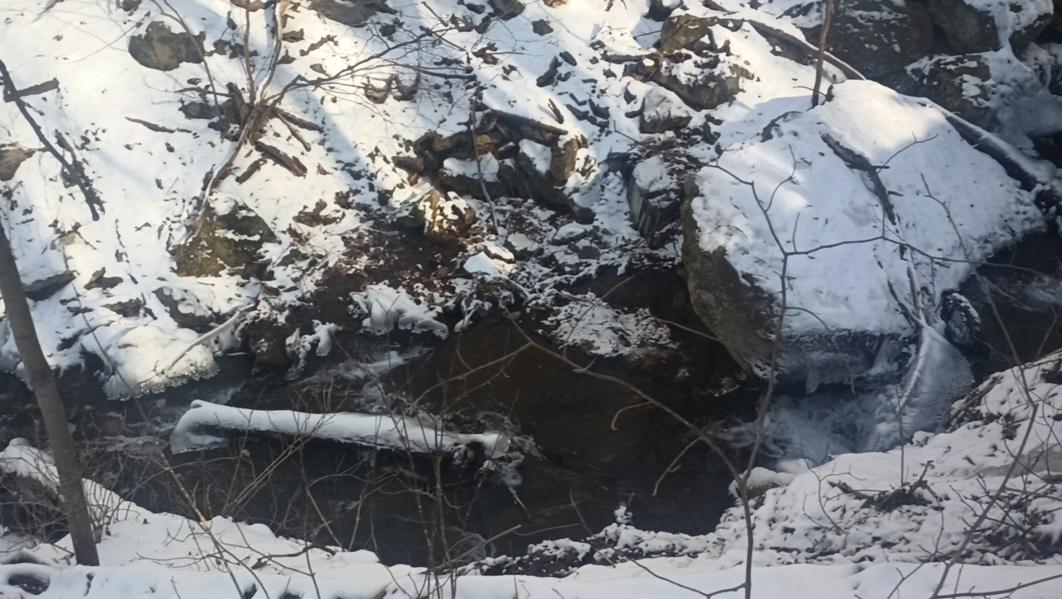
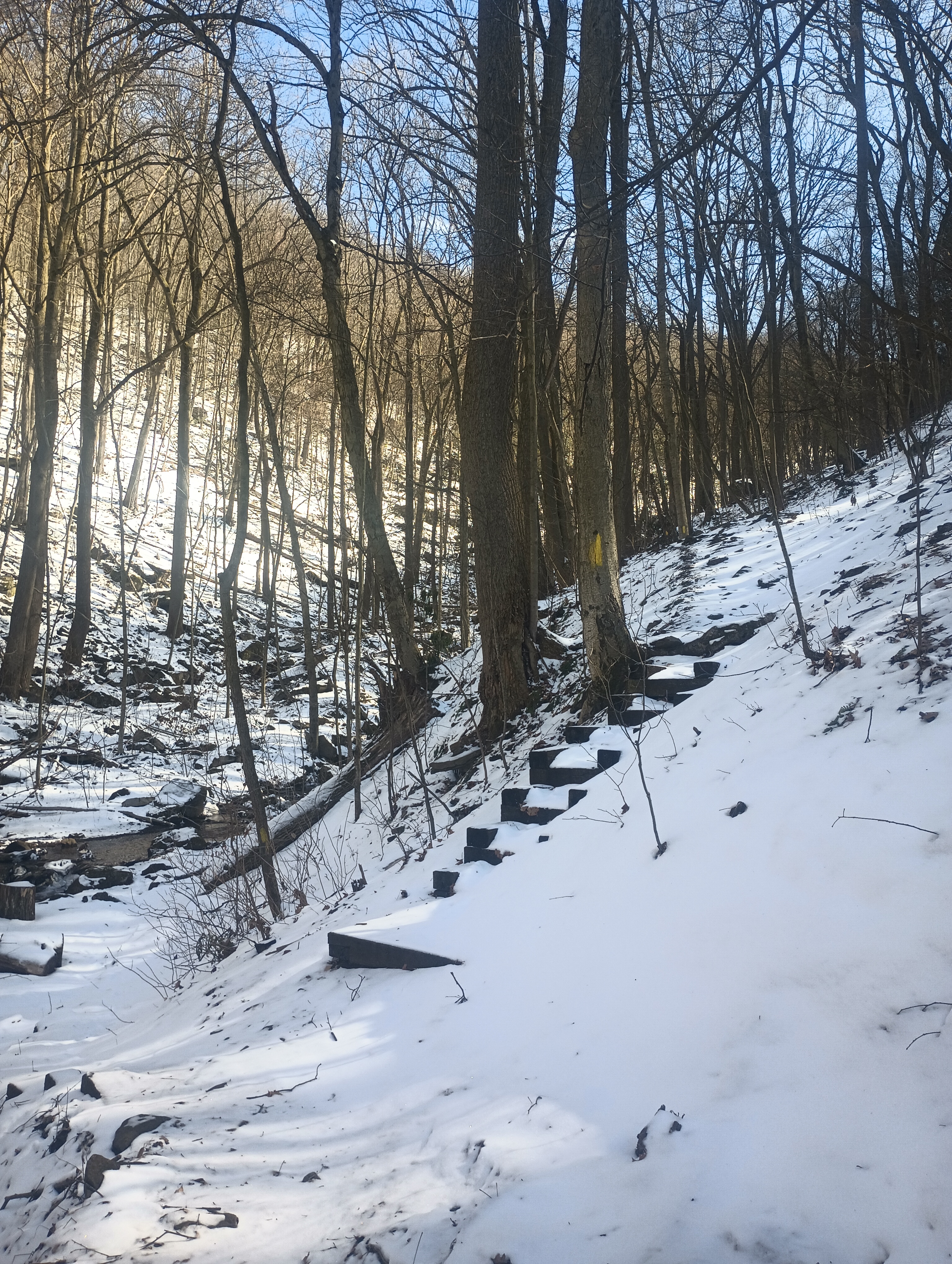
I parked at the Charles F. Lewis Natural Area entrance for Gallitzin State Forest, which was directly off of PA-403. We started on the Clark Run Trail which featured a steep climb on a narrow trail overlooking some pretty waterfalls. The trail is right on the edge of the gorge at times rising with over 25% grade, so this part was nerve-racking. I’m glad I had poles with me. After the first half mile, the trail flattened out considerably for a less steep (but still uphill) climb.
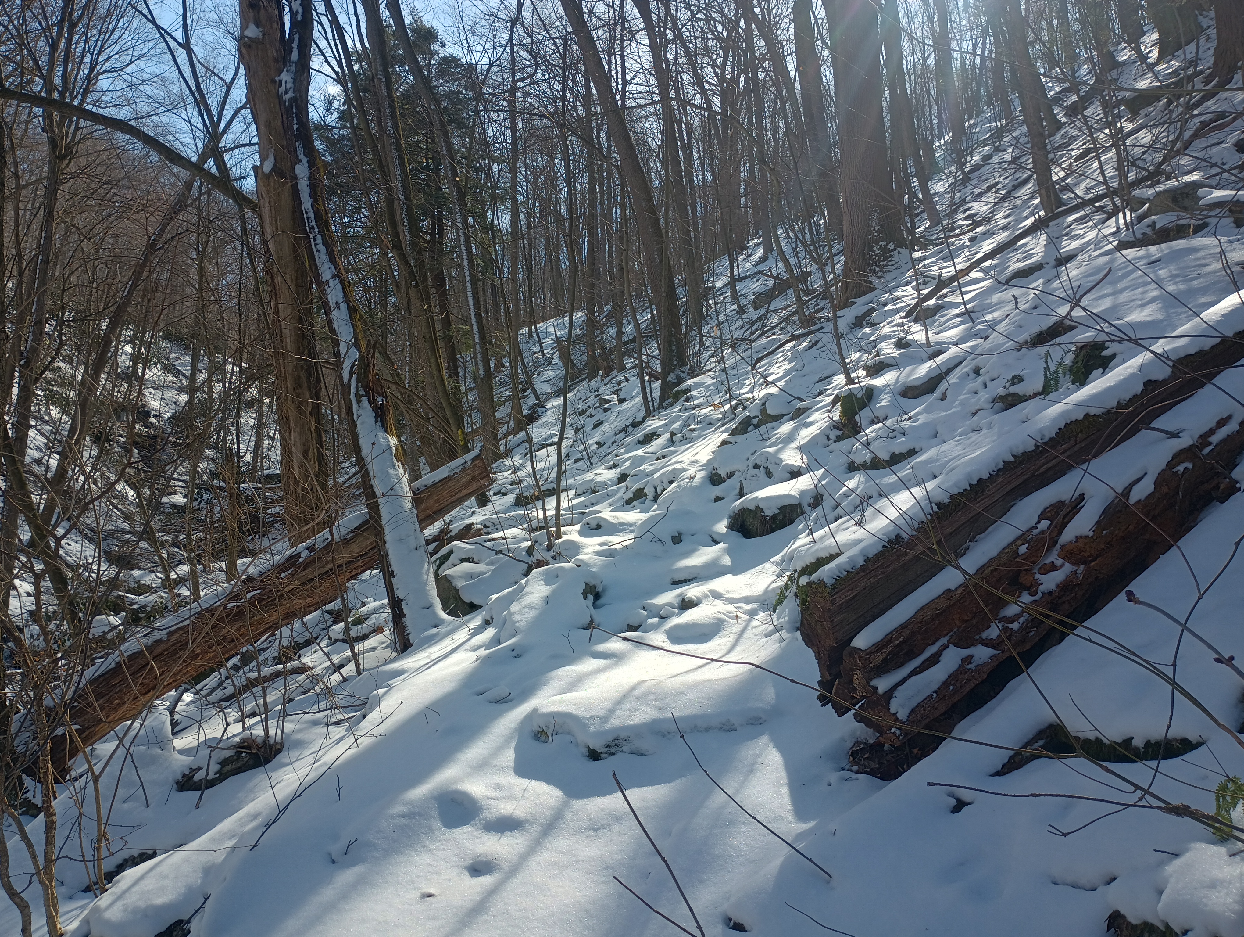
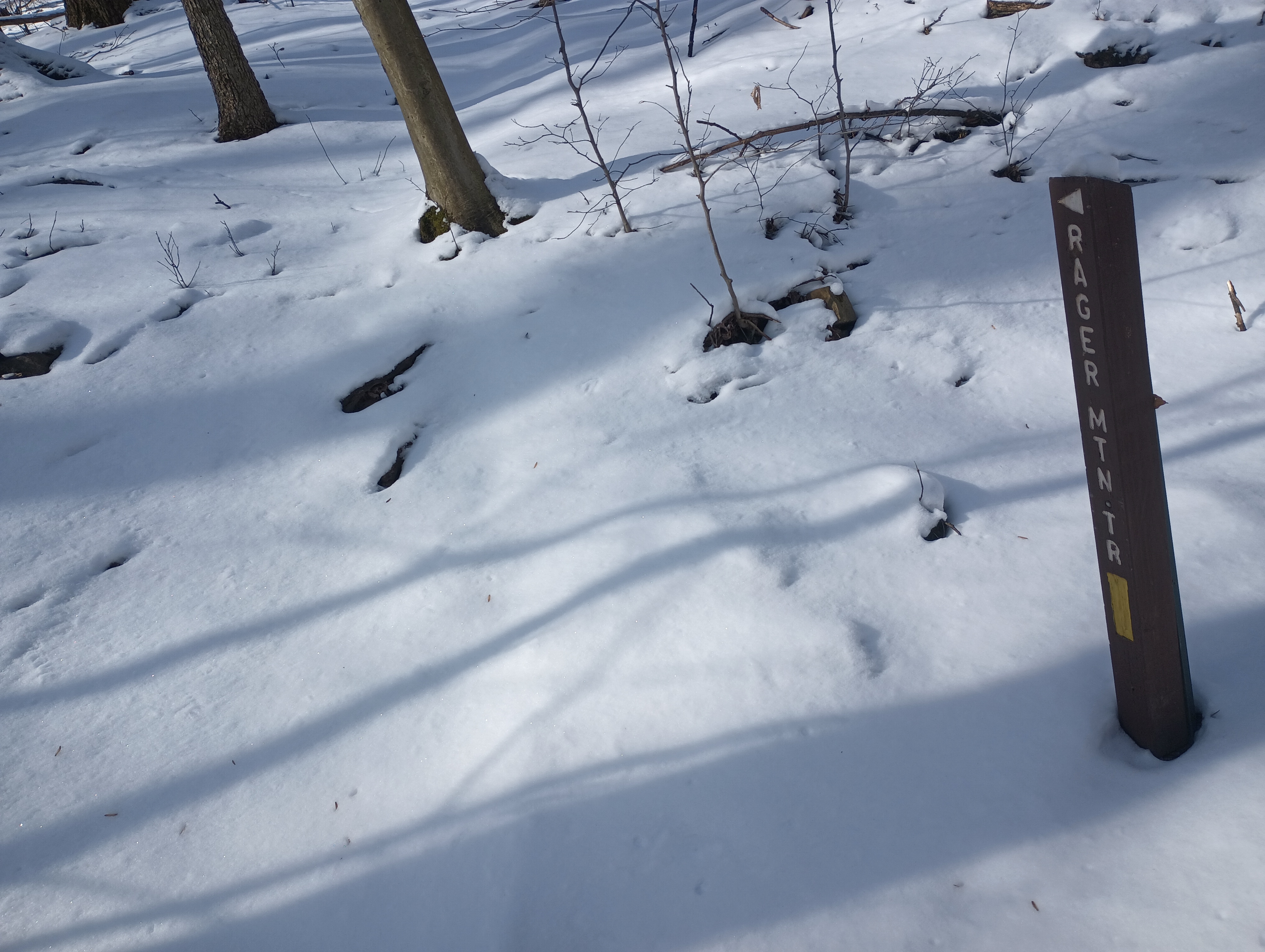
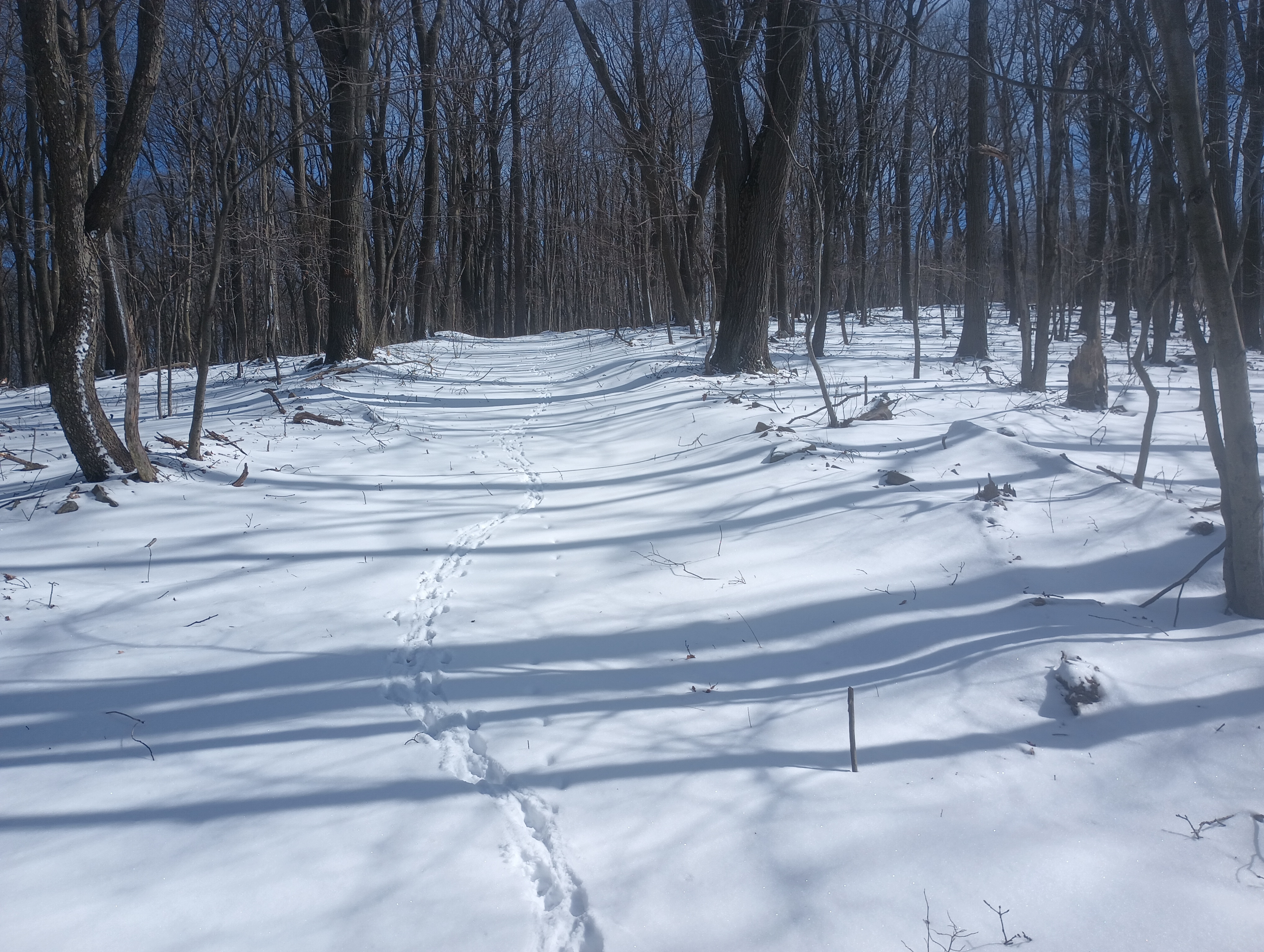
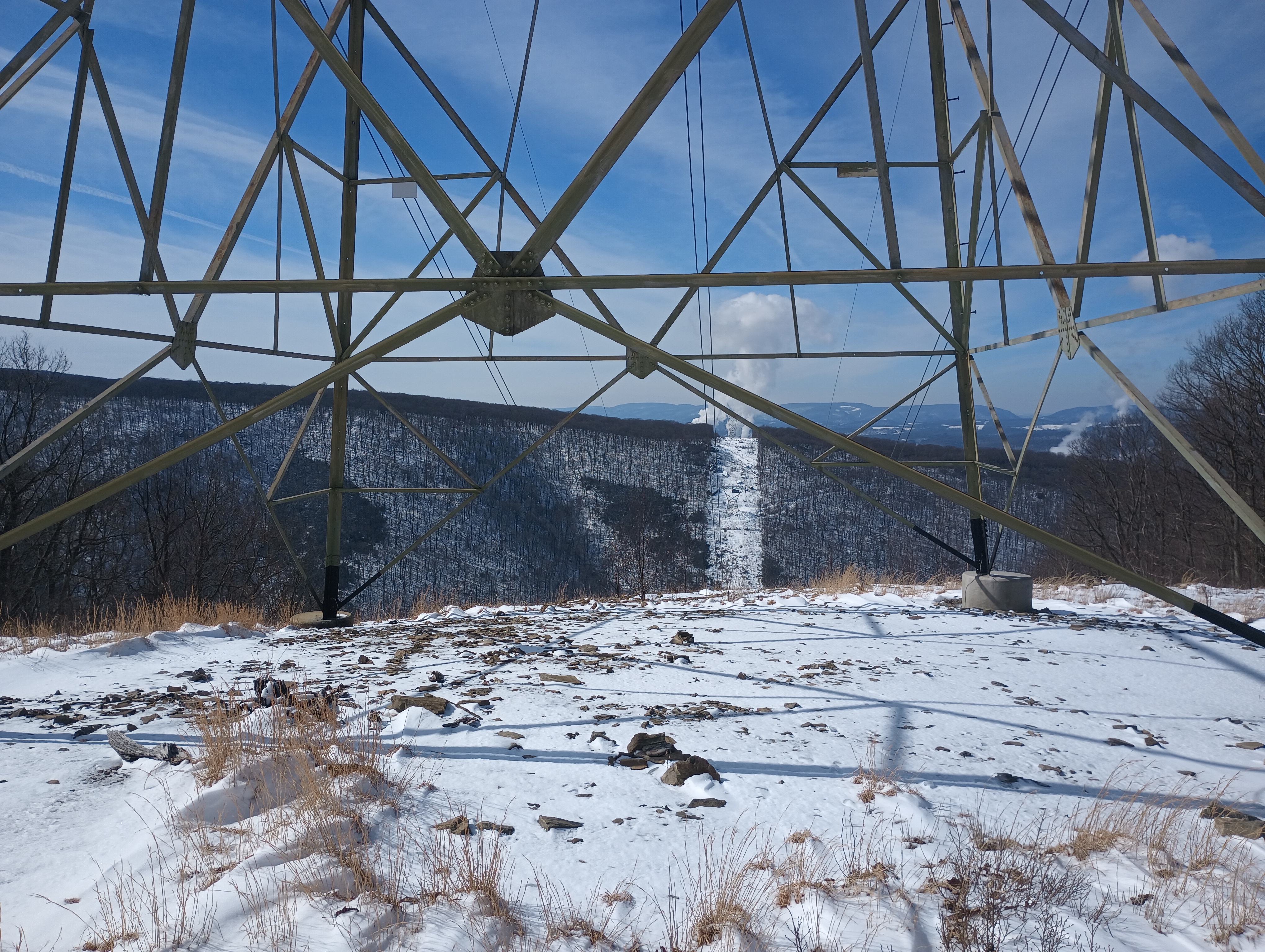
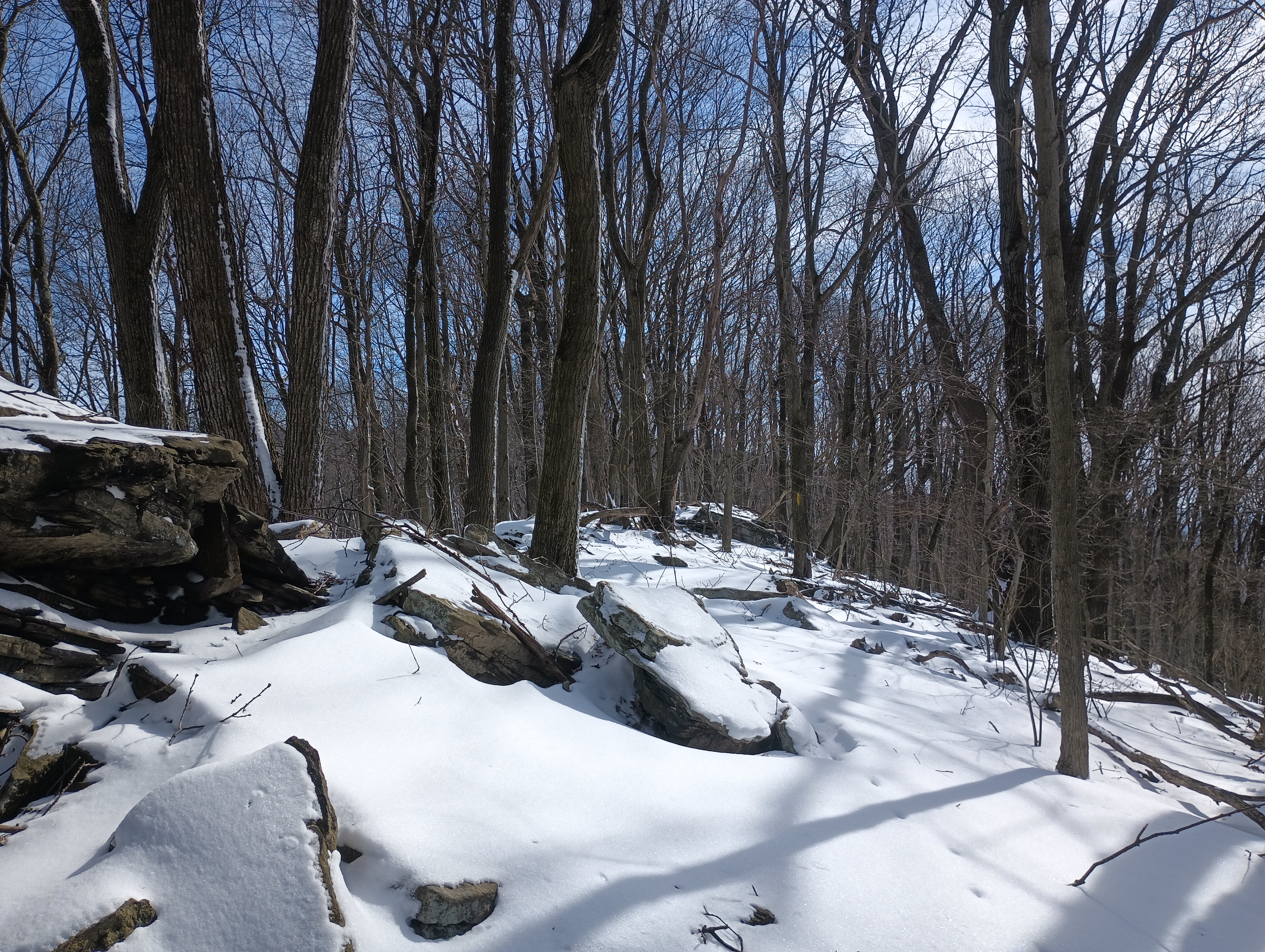
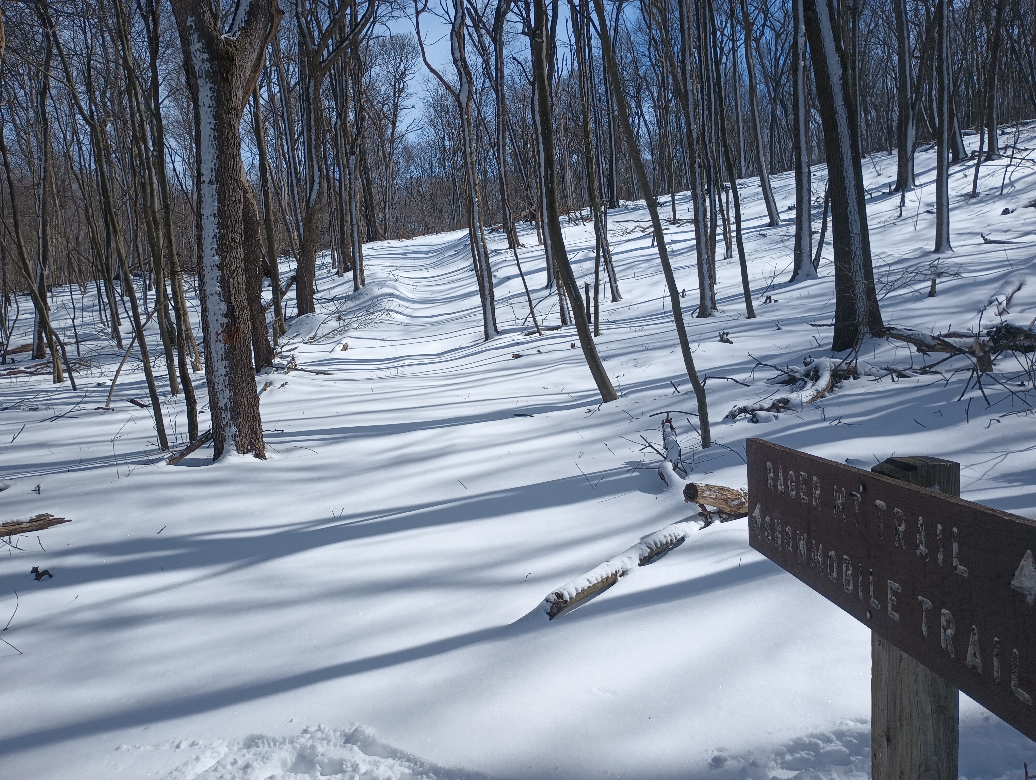
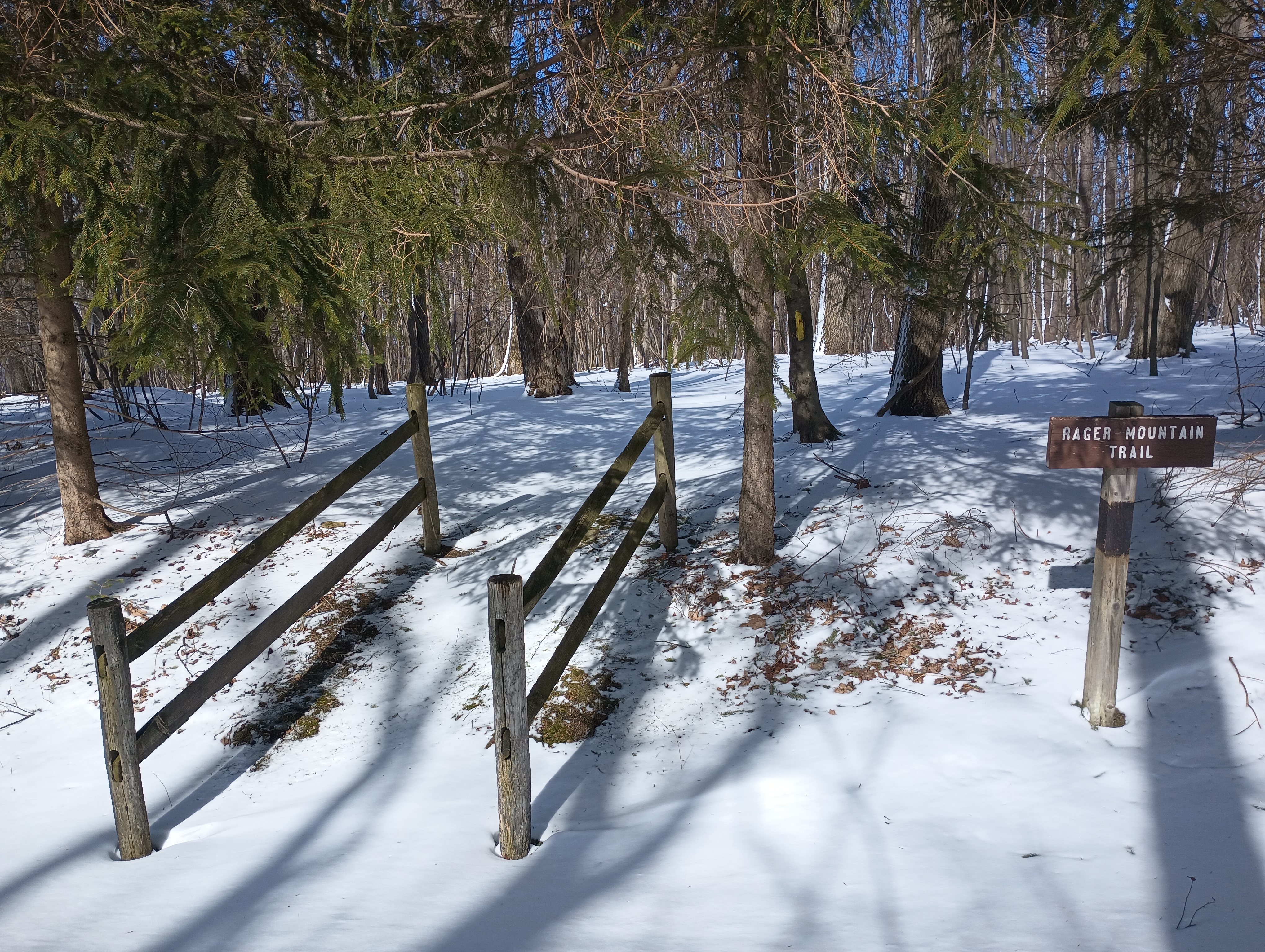
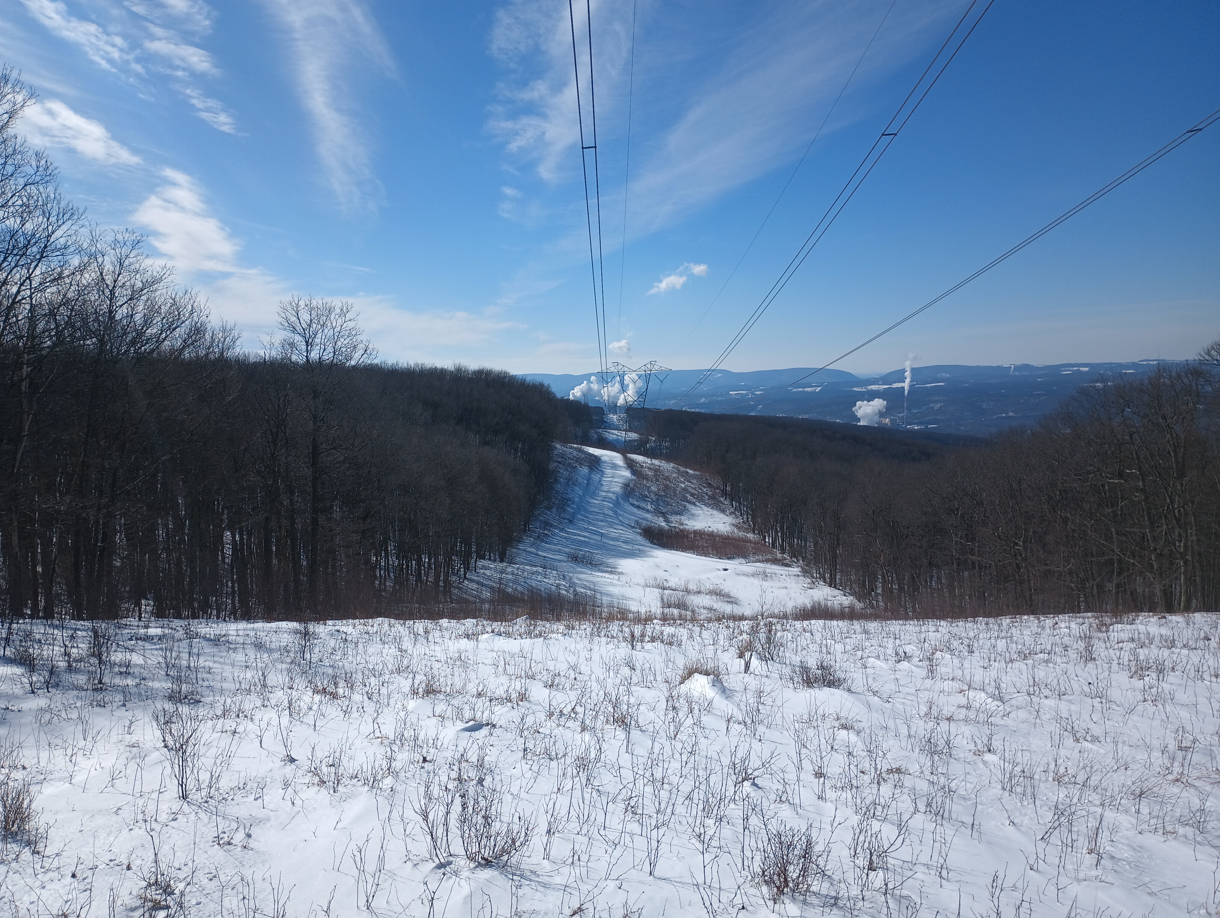
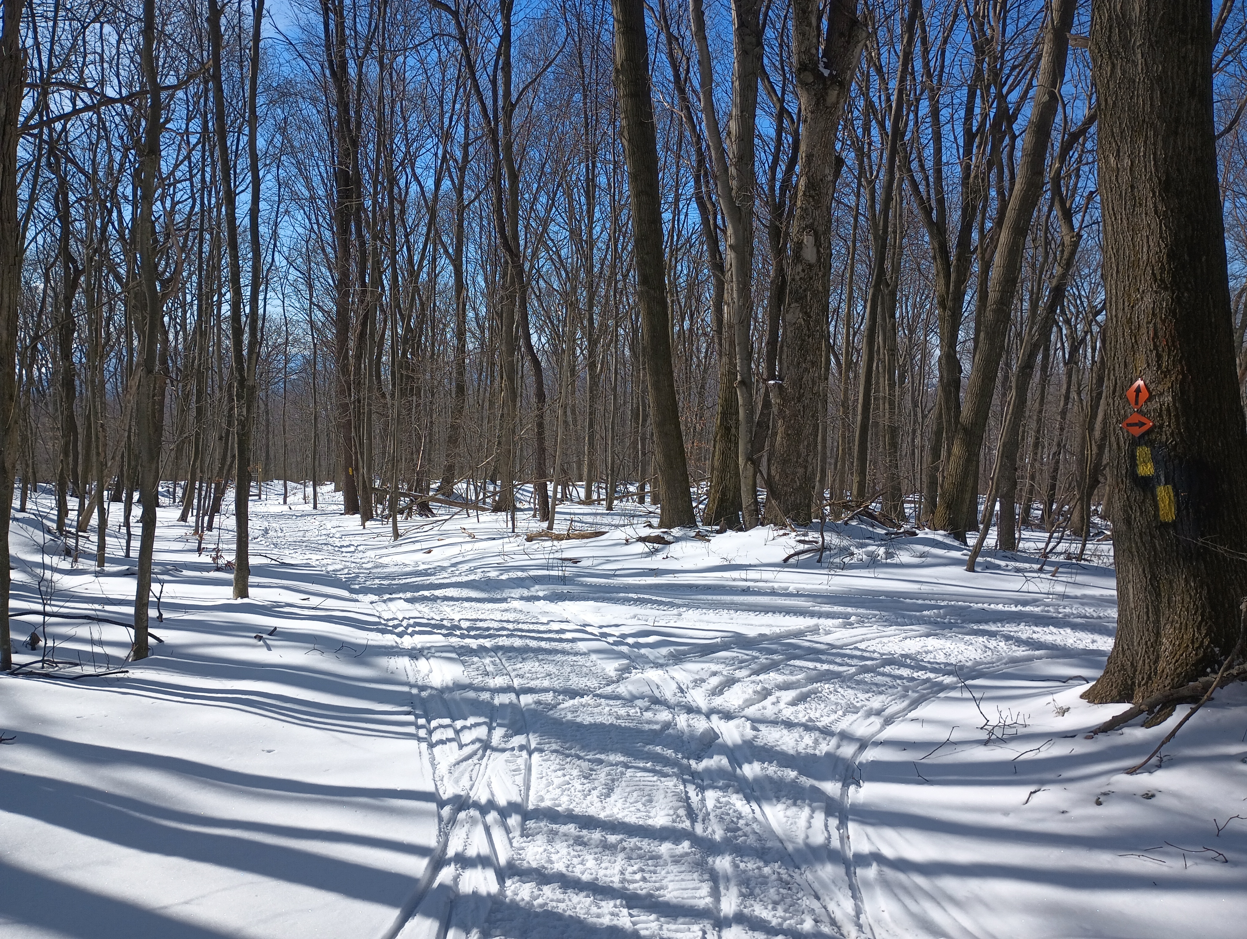
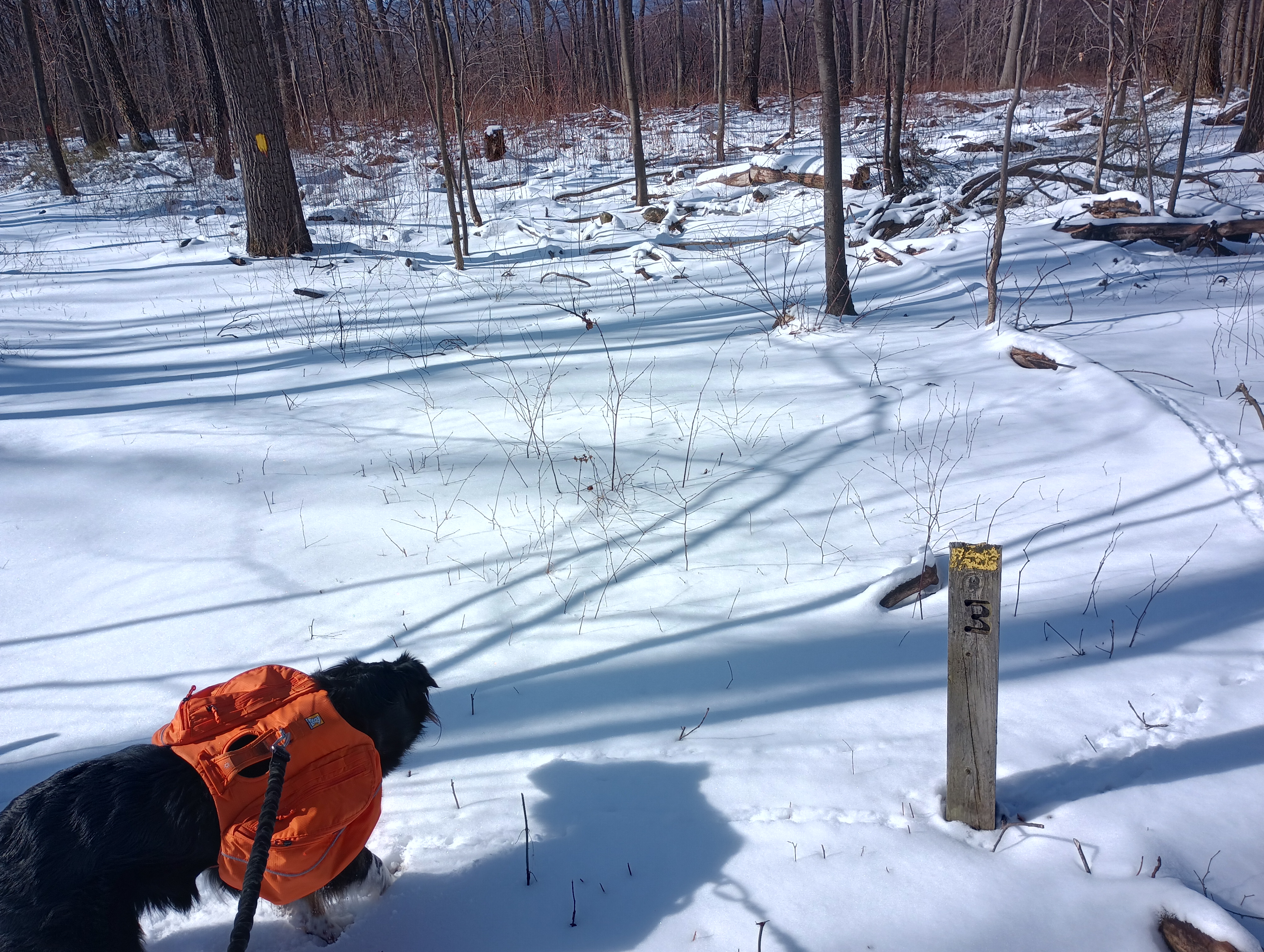
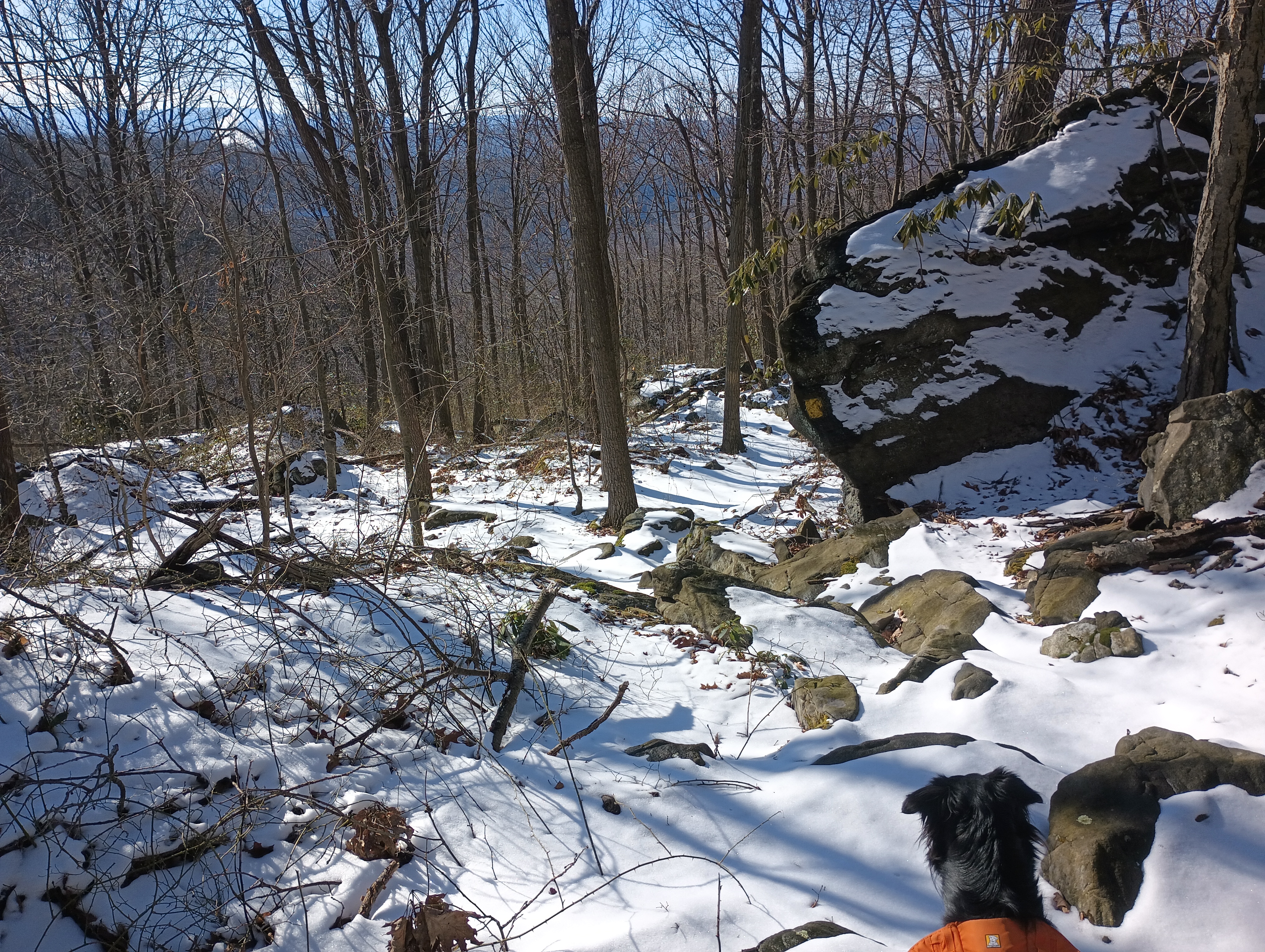
About a mile in, we continued up the Rager Mountain trail. As we continued from here, the snow could get as deep as about 6 inches in places, a very soft powder. The trail was well-marked with yellow blazes, but I found it easy to accidentally end up off trail with a thin layer of snow covering everything. The best views on the hike came from crossing under a powerline cut, with a cooling tower visibly bellowing steam in the distance. I still find it amusing to see trail blazes on things like concrete anchors for power lines, but I am noticing it’s just really common in western PA. The terrain started to get rockier, with large boulders visibly poking through the snow as we approached the 2-mile mark.
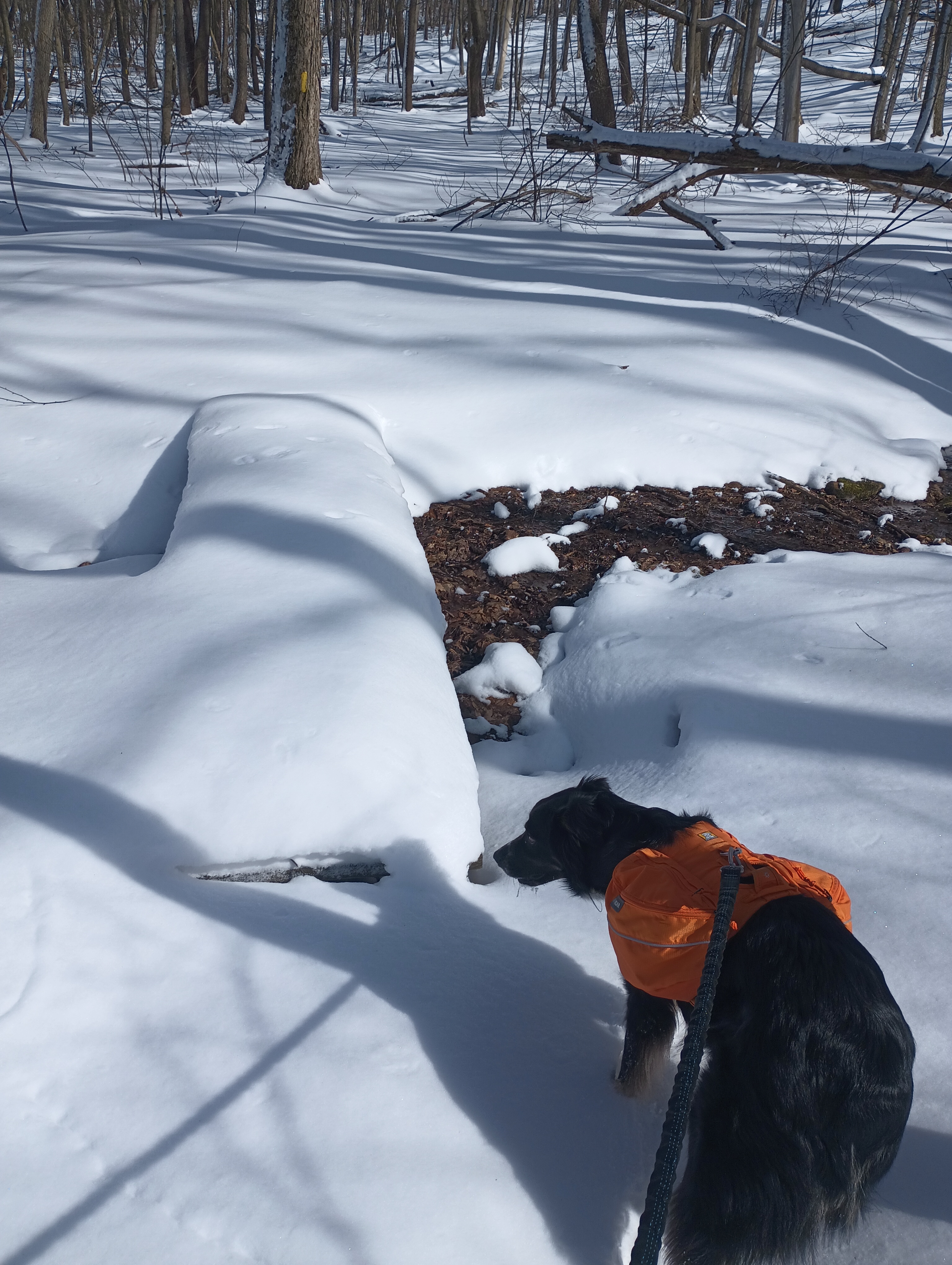
The Rager Mountain Trail crosses a snowmobile track, which I had intended to follow into the activation zone. However, the trails were pristine with fresh powdery snow when we got to them (just after noon), and I didn’t want to muck them up with my footsteps before they were packed down. We jumped off trail here and bushwhacked until I was reasonably certain we were in the activation zone. The snowmobile trail arced in a U around us, and six snowmobiles passed by during the activation (I think it was the same two that passed three times). Luna kept herself occupied by sitting alert as these vehicles whirred by, making sure they didn’t get too close. These were the only other people we saw on the hike.
Once Luna had plenty of water to drink and a snack, she settled down to rest and I got a wire up into one of the many trees around us. 10m was in good condition, and I worked AE7I on W6/NS-236 Prosser Hill and K6EL on my former home SOTA peak W6/NC-298 Vollmer Peak. My first SOTA contact was with K6EL on 2m from Vollmer Peak way back in March 2015, nearly 10 years ago! My only other true DX was with the celebrated F4WBN, making it 7 chases from him. K6HPX and WW7D also chased me, and they’re quickly becoming two of my “comfort callsigns,” with 20 and 15 chases, respectively. I spent a bit more time working familiar POTA folks on 20m, and then Luna let me know it was time to go.
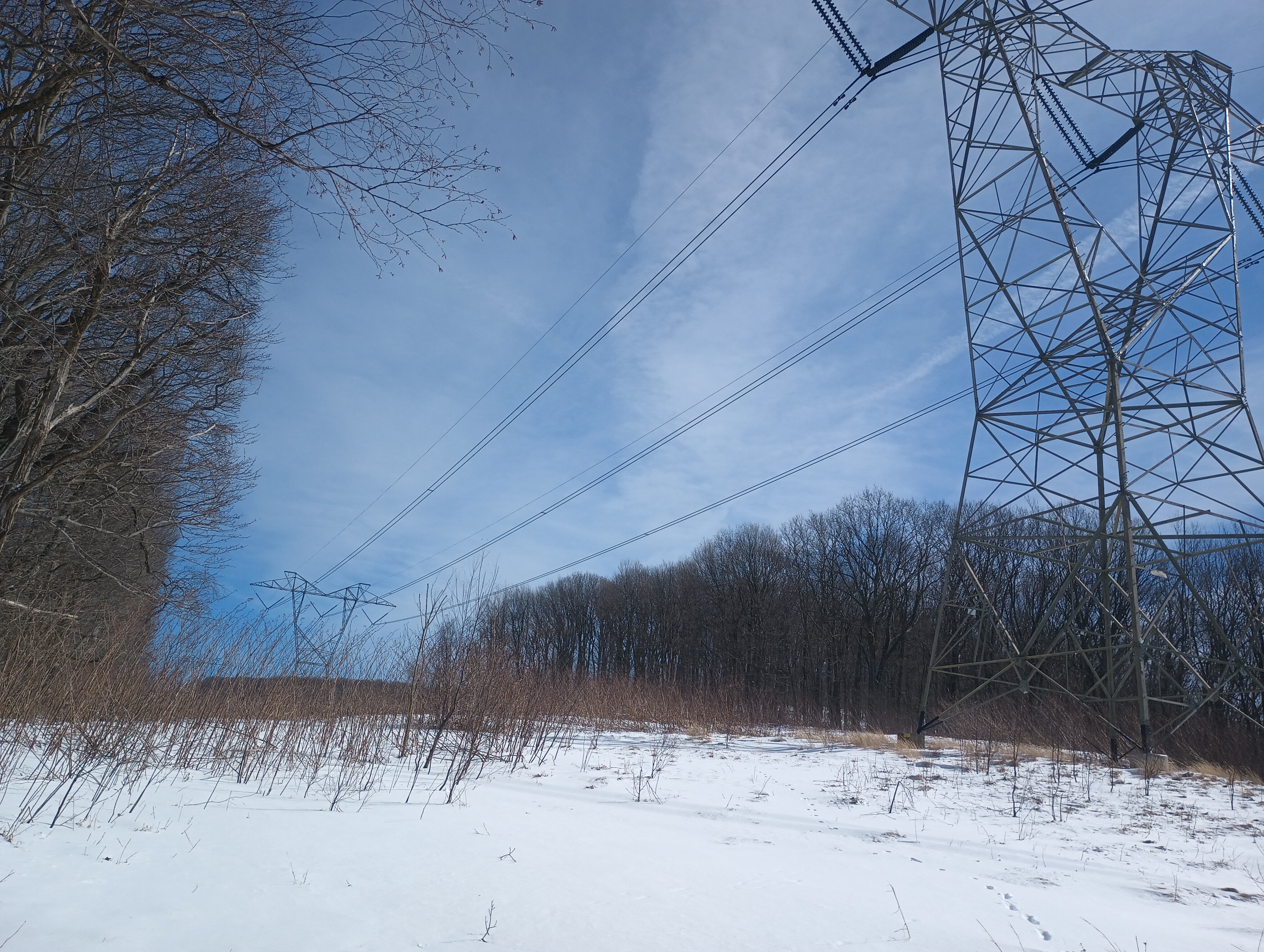
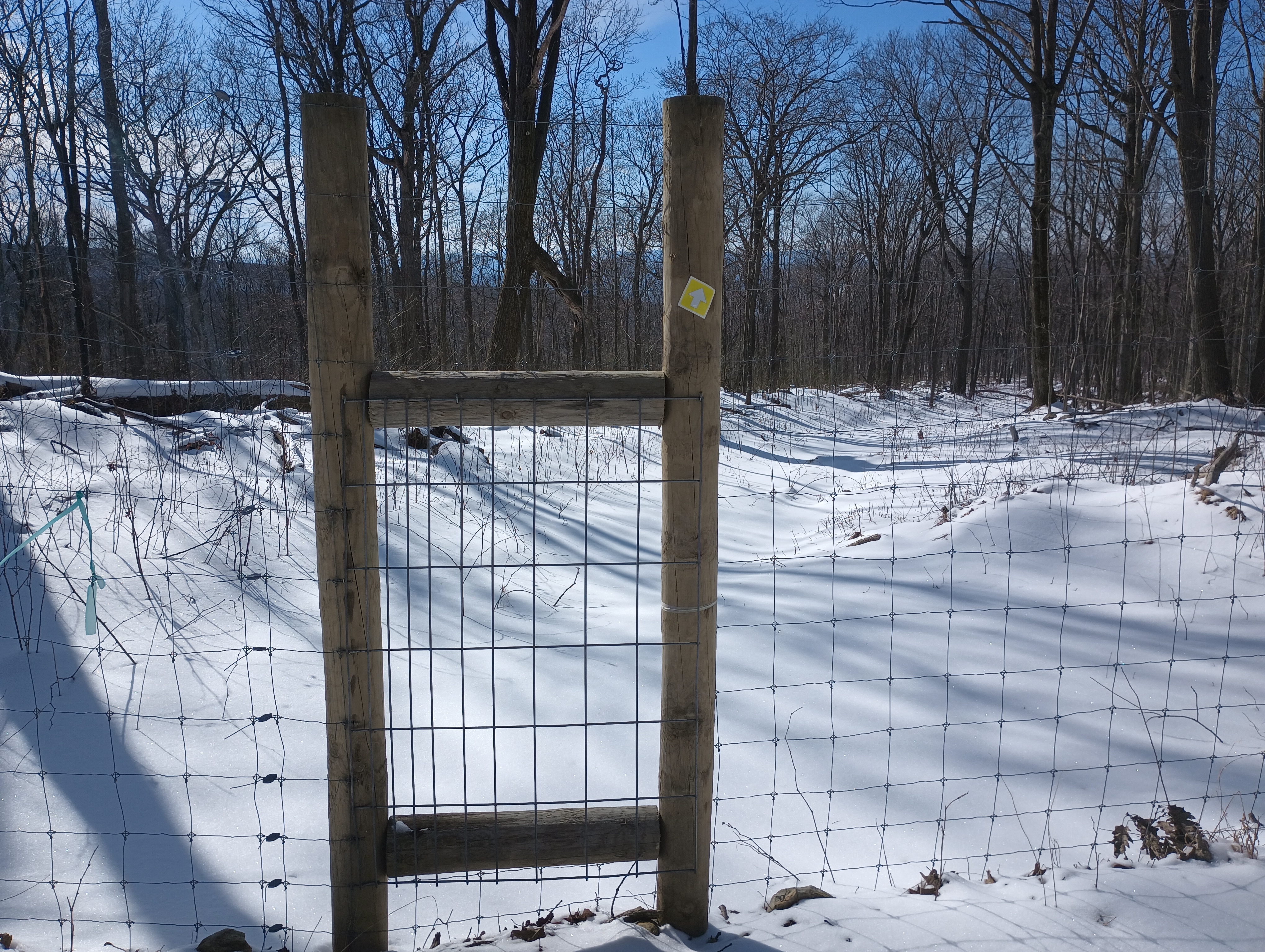
For once, this was a loop hike, so the scenery was different on the way back. The trail crossed another powerline cut and briefly merged with a snowmobile trail. At some point, the trail passed into and out of a fenced area. There were even a few mile markers on the trail. This was a gradual descent and there was much more vegetation next to the trail than on the way up: mostly short green brambles poking out in most places, and eventually rhododendrons.
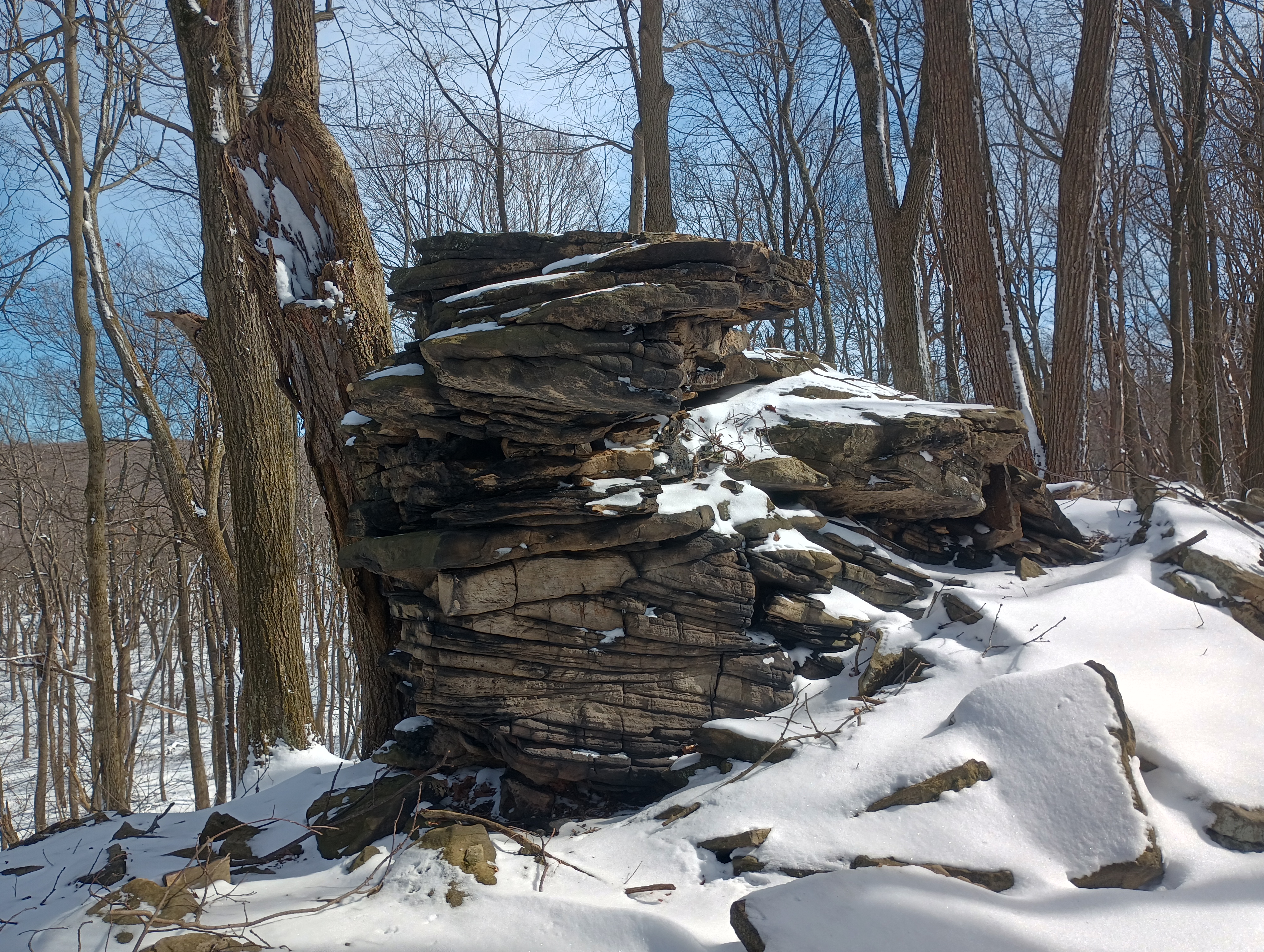
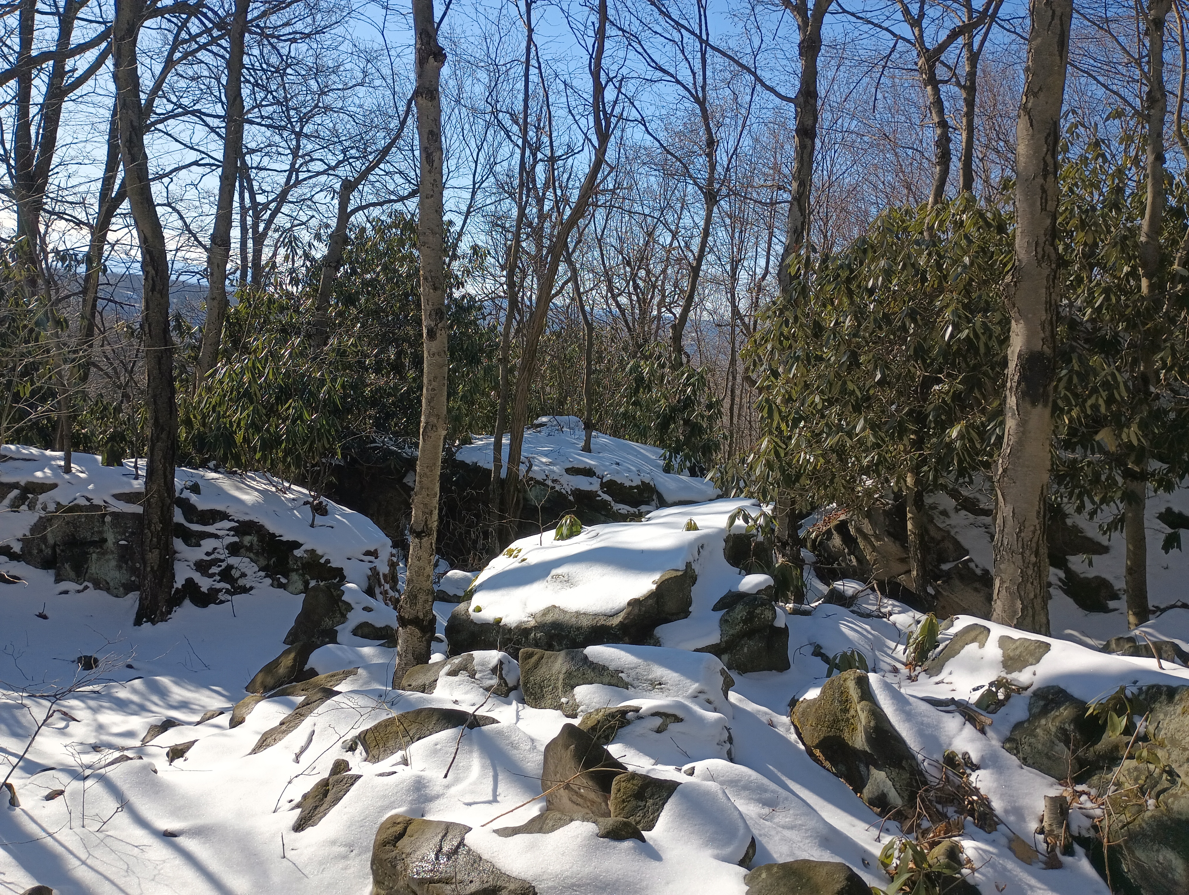
During the last mile or so back on the Clark Run Trail, the terrain got rockier and more uneven, with beautiful snow-capped boulders and rhododendrons everywhere. Pennsylvania was a reputation for really rocky terrain like this, but this was my first time encountering it on a hike. Luna had a good time hopping around, but again I found myself thankful that I brought poles. You would definitely want to watch out for snakes around here in warmer weather; tons of nooks and crannies for snakes to chill under.
After one last steep switchback descent and stream crossing at Clark Run, we were back at the car. Luna’s now got two winter activations under her collar! I’m looking forward to coming back here in other seasons with less snow and ice. It’s a nice hike with good challenge!
Trailhead: 40.41106, -78.98527 : Charles F. Lewis Natural Area gravel parking
Route: Approximately 5.5 mile loop hike along Clark Run/Rager Mountain Trail, then alongside a snowmobile trail, 1400′ gain
POTA: Gallitzin State Forest (US-5469) is partly in the activation zone. The trailhead is in Charles F. Lewis Natural Area (US-0628), but this reference does not overlap the activation zone.
Atop the second-highest peak in PA is a ski resort, making Blue Knob a drive-on. Since it’s the ski season, I wanted to stay away from the crowds and hike along the south face in Blue Knob State Park. I brought Luna along this time for her first SOTA activation, with the goal of hiking the Mountain View loop trail.
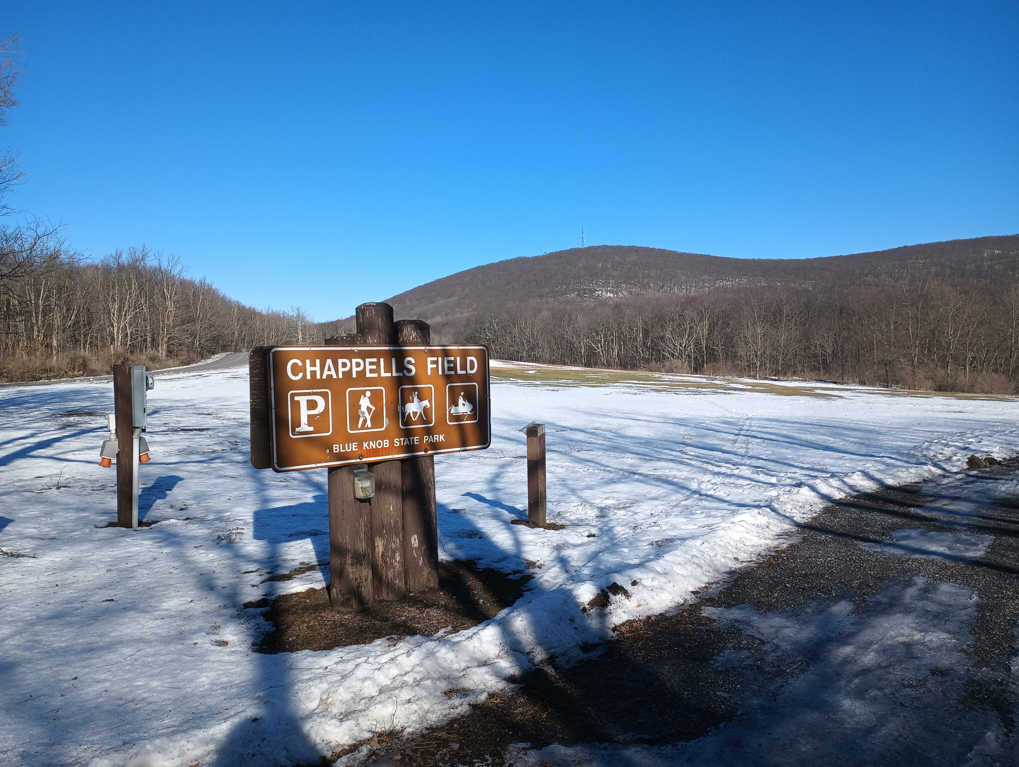
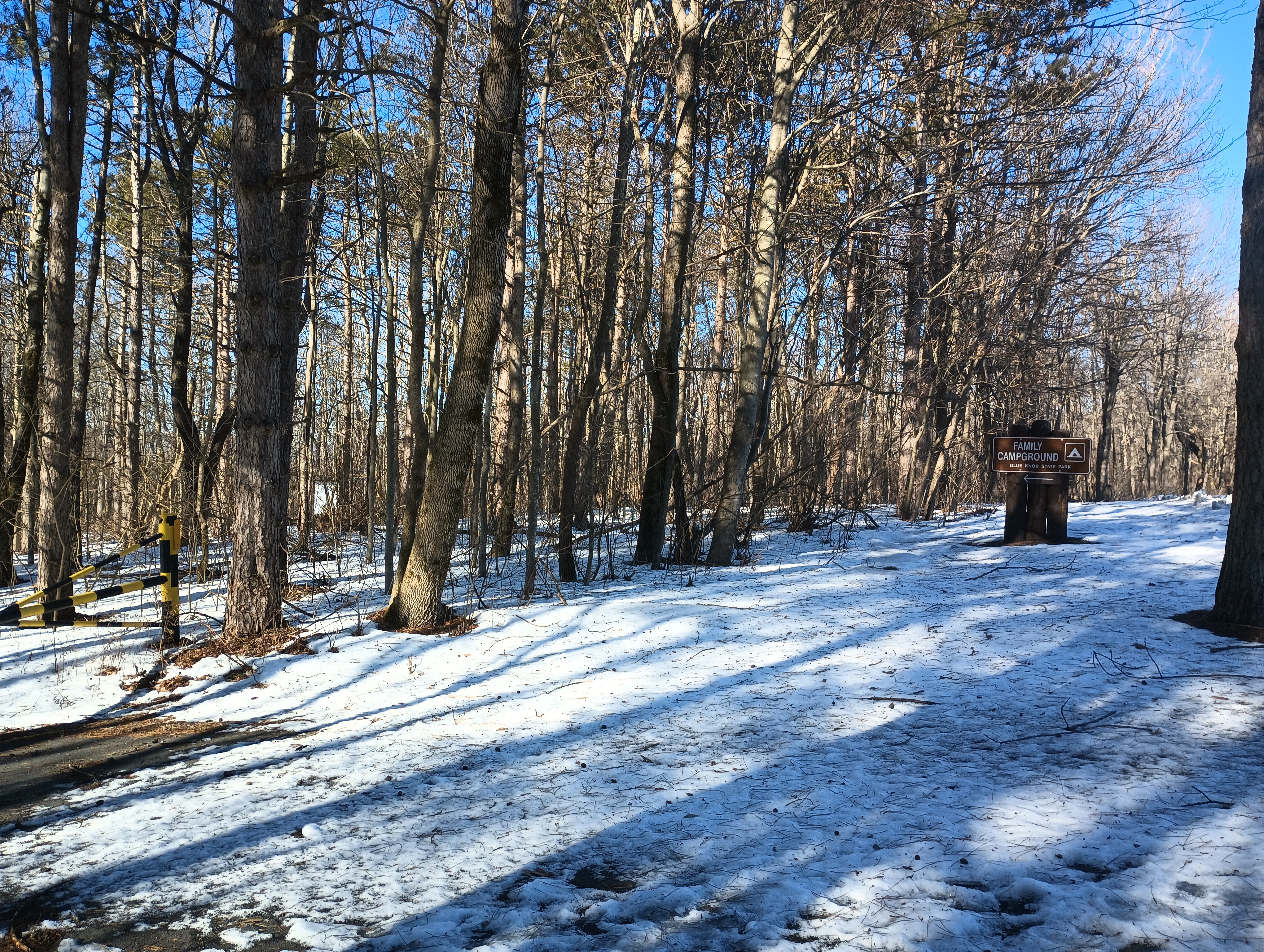
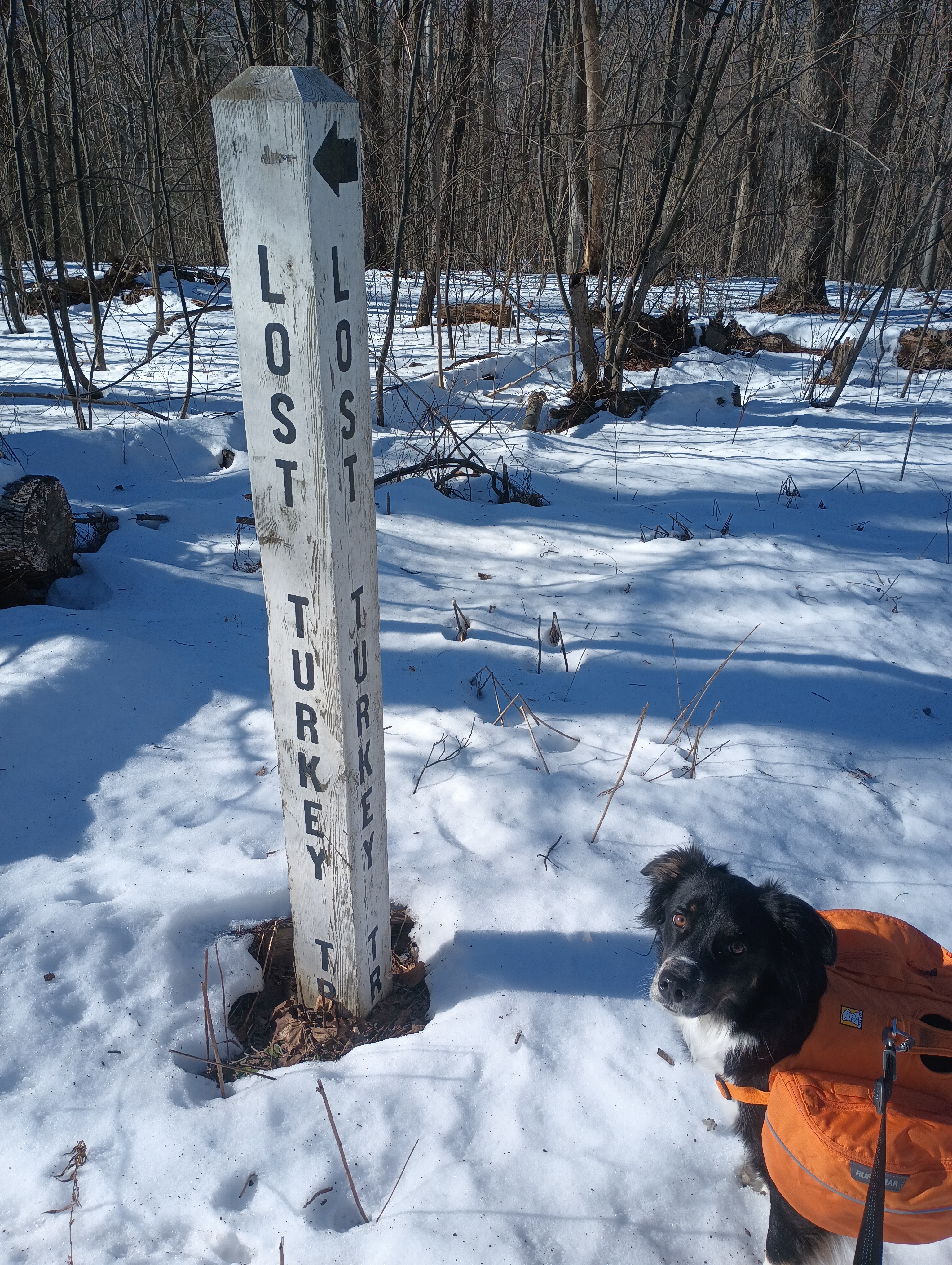
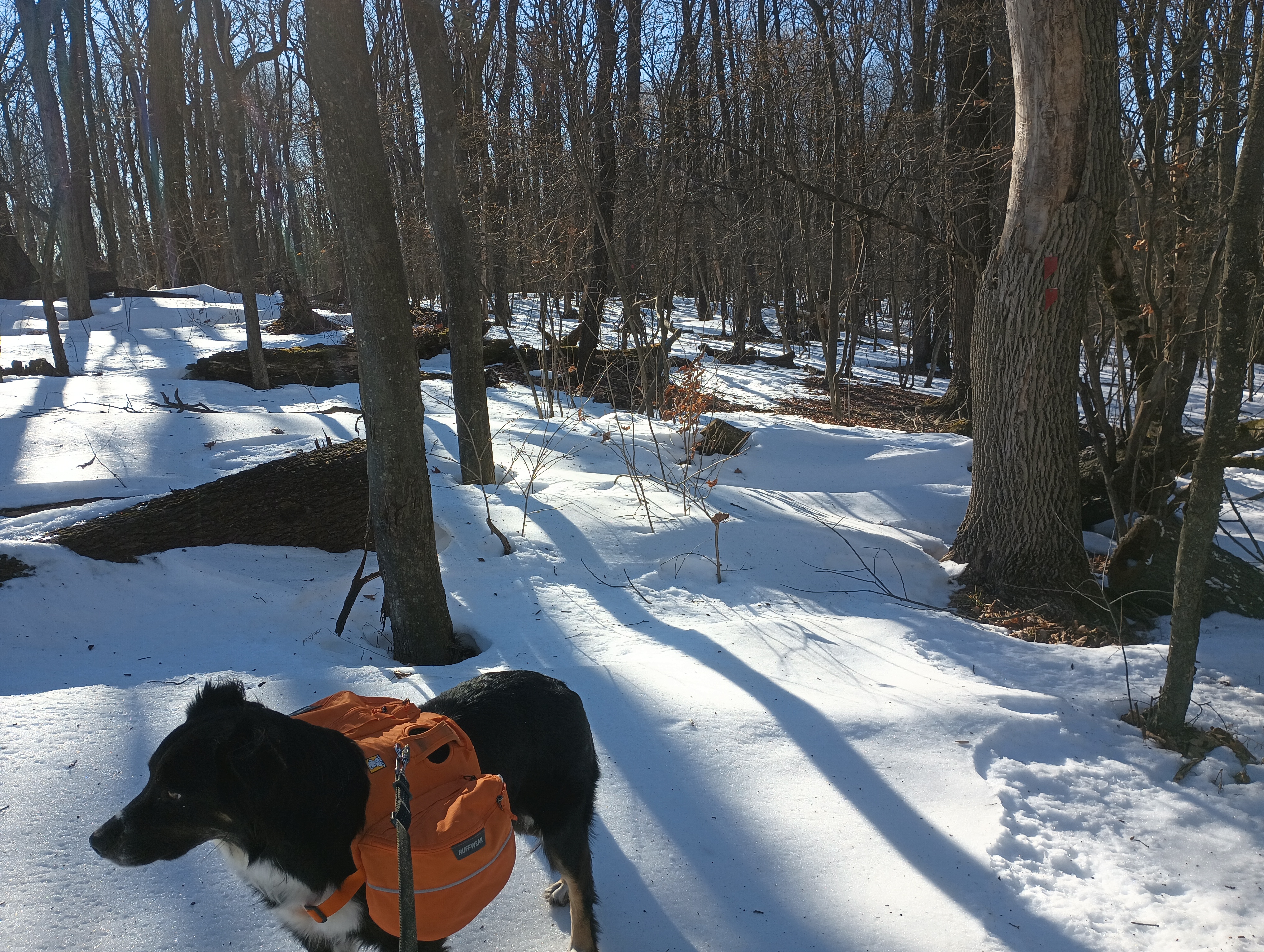
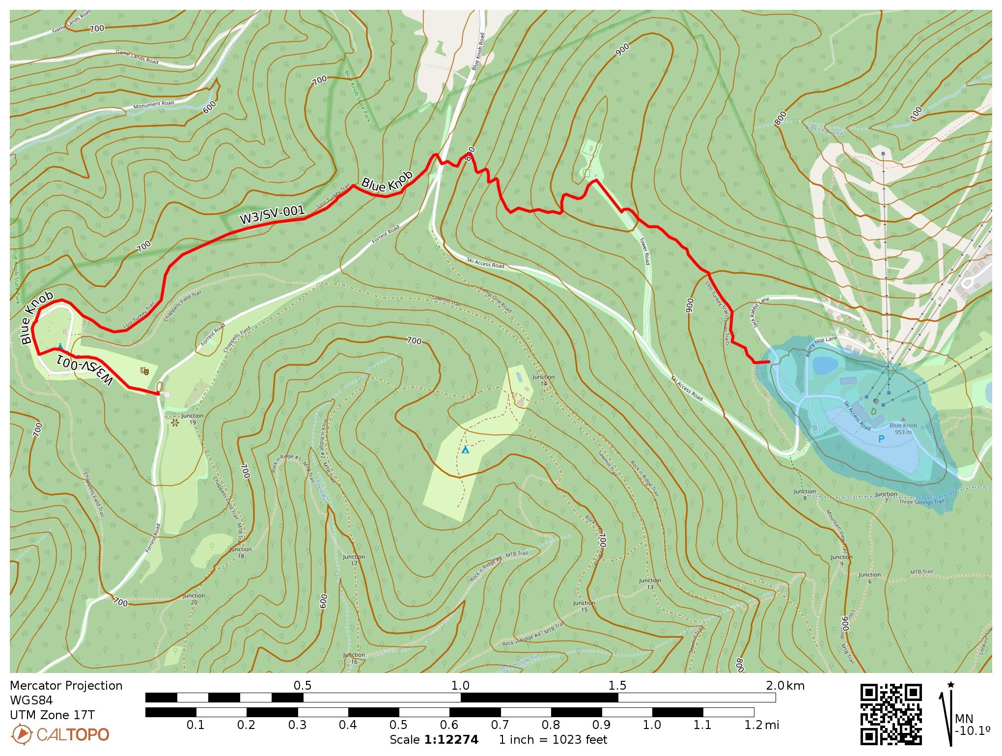
Park Road was closed off, likely due to snow, so we had to change plans. I continued up Forest Road to park at the Chappell’s Field Trailhead which has great views of the surrounding hills. A short walk through the family campground (gates were closed) got us to the Lost Turkey Trail, which is marked with red blazes and approaches the summit from the west. This trail was blazed by the Youth Conservation Corps in 1976. If we had gone west from here, we would have passed a monument for the Lost Children of the Alleghenies, memorializing two children who died in the wilderness around here in 1856.
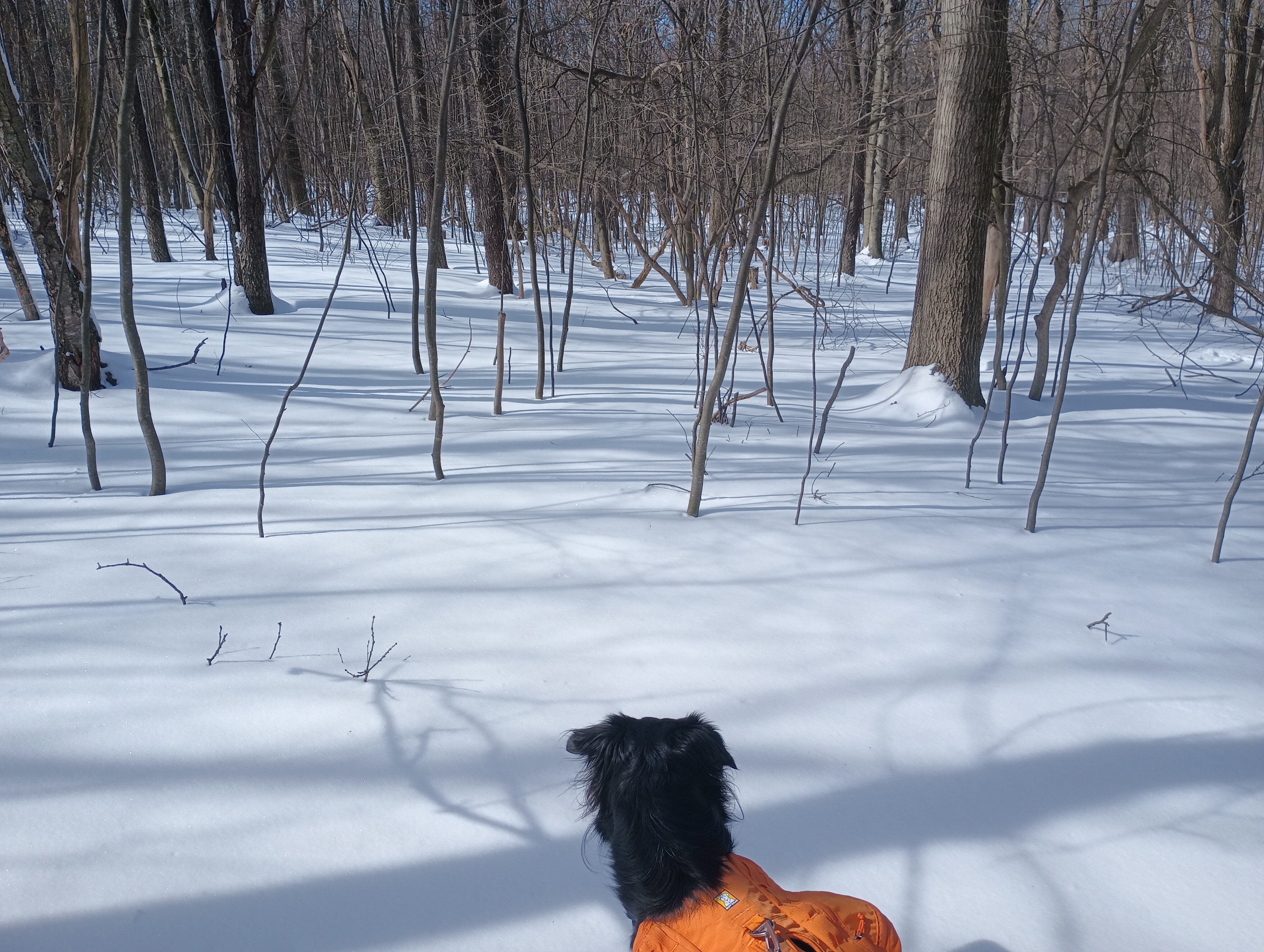
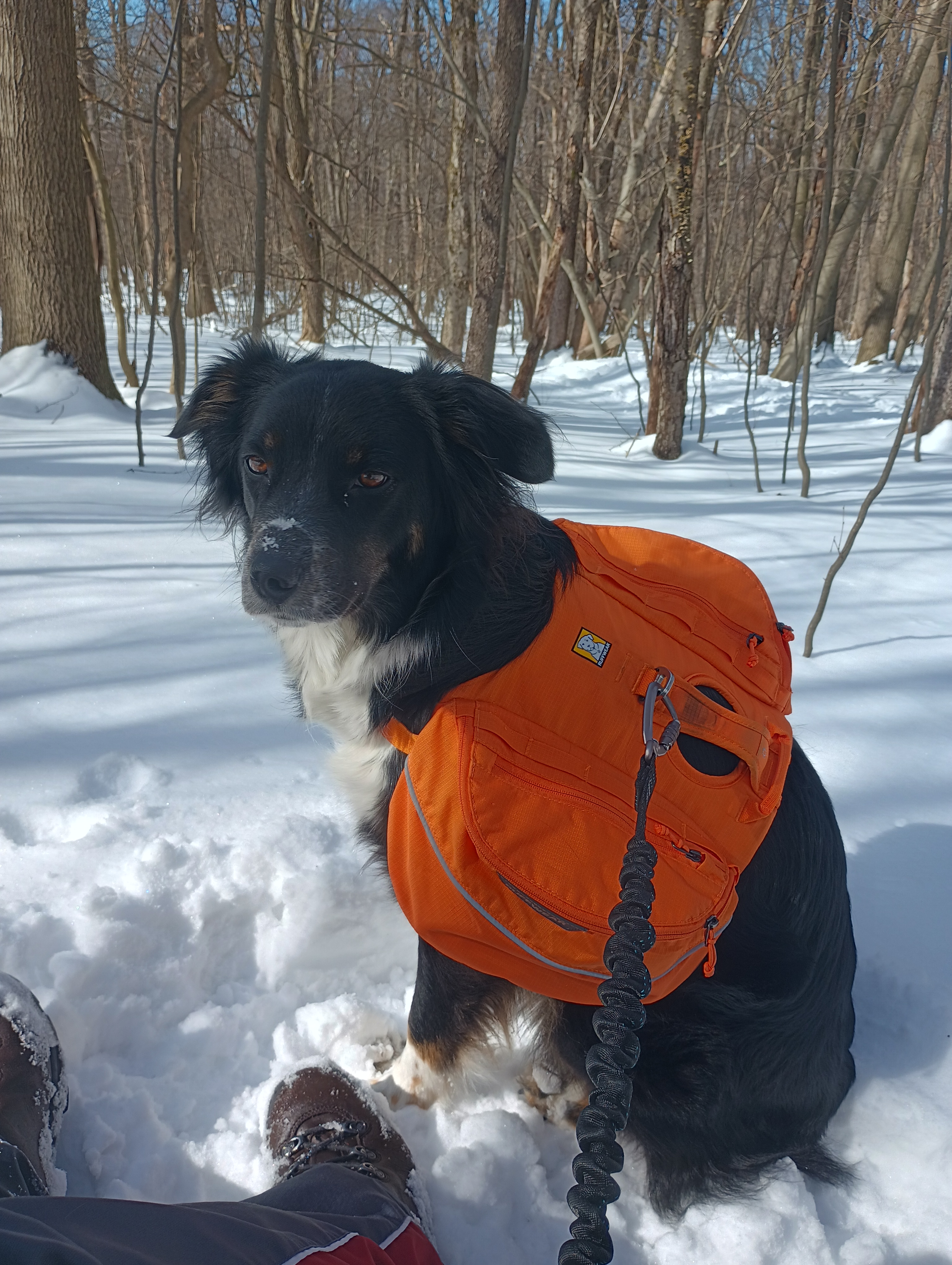
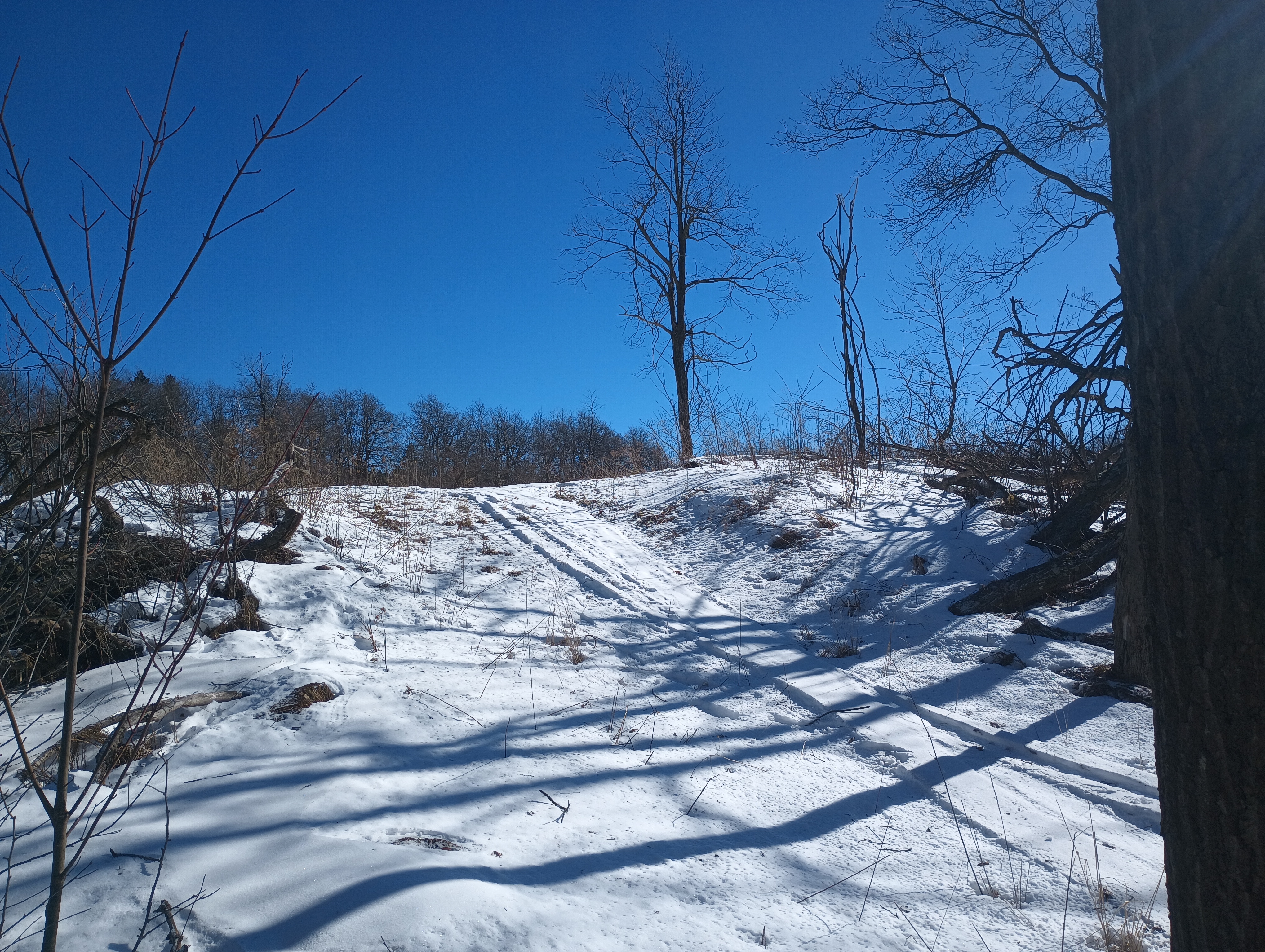
There was about a foot of snow on the trail in some places, which made things trickier. Luna, only about 50 pounds, could walk on top of the hardened snow’s surface without leaving footprints, while I sunk right in with each step in places. She did enjoy diving into the snow when we found a soft spot. Adding snowshoes to the gear wishlist…
After about 700 feet of elevation gain, we made it to the northern terminus of Lost Turkey Trail, Herman Point. As is typical for PA peaks, there was a small collection of radio antennas here. Across the road was the Lost Turkey Trail Connector that continues on towards the ski resort. The trail’s entrance was hard to find, but is marked with a couple blue blazes. We lost the trail a few times in here, but our goal was just to get within the activation zone.
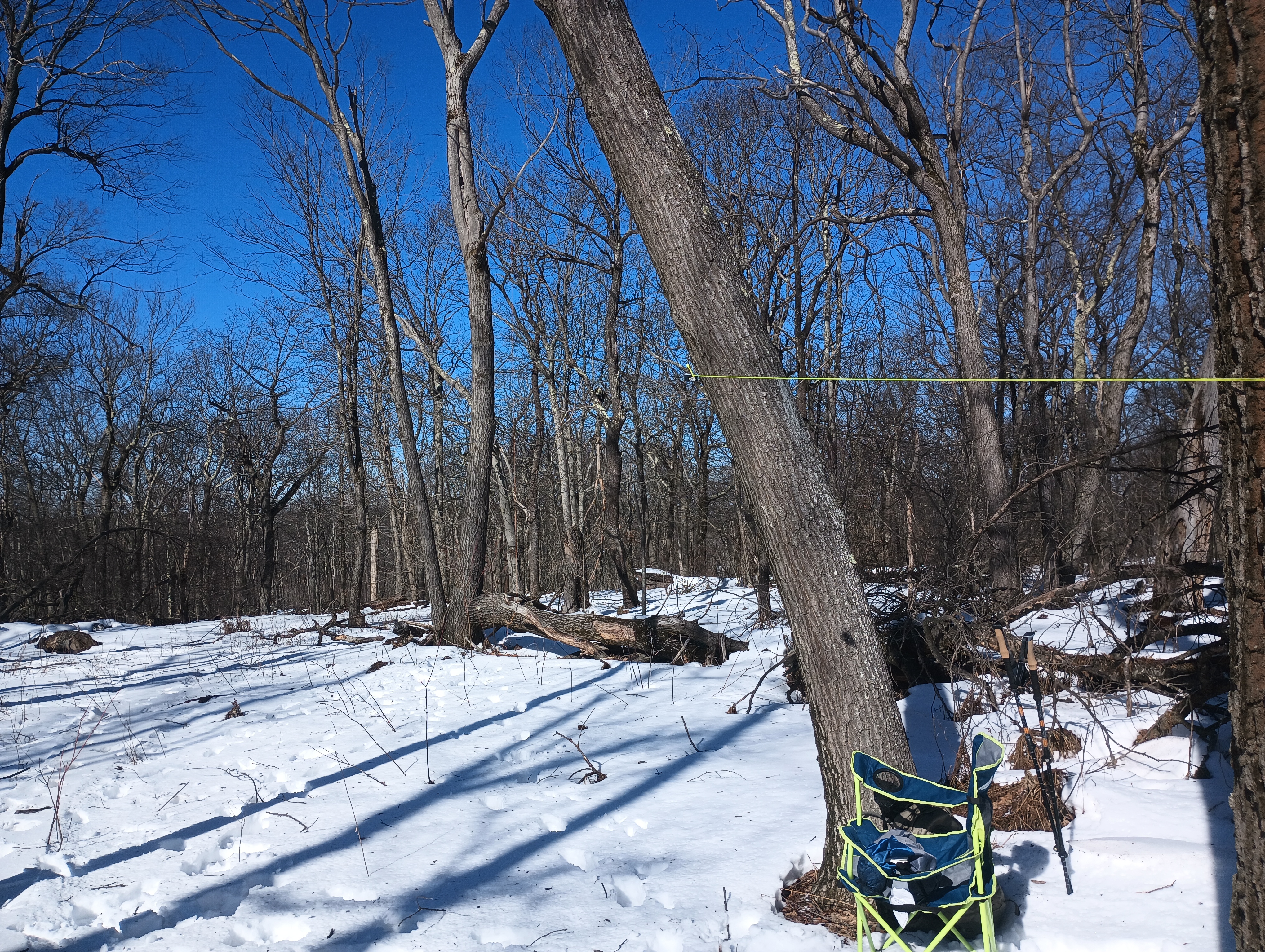
Last time I visited Blue Knob, I activated it by parking on Jack Rabbit Lane and walking down to this spot. This time, I hiked up from the west. Either way, it’s a good spot to operate while staying out of the way of skiiers.
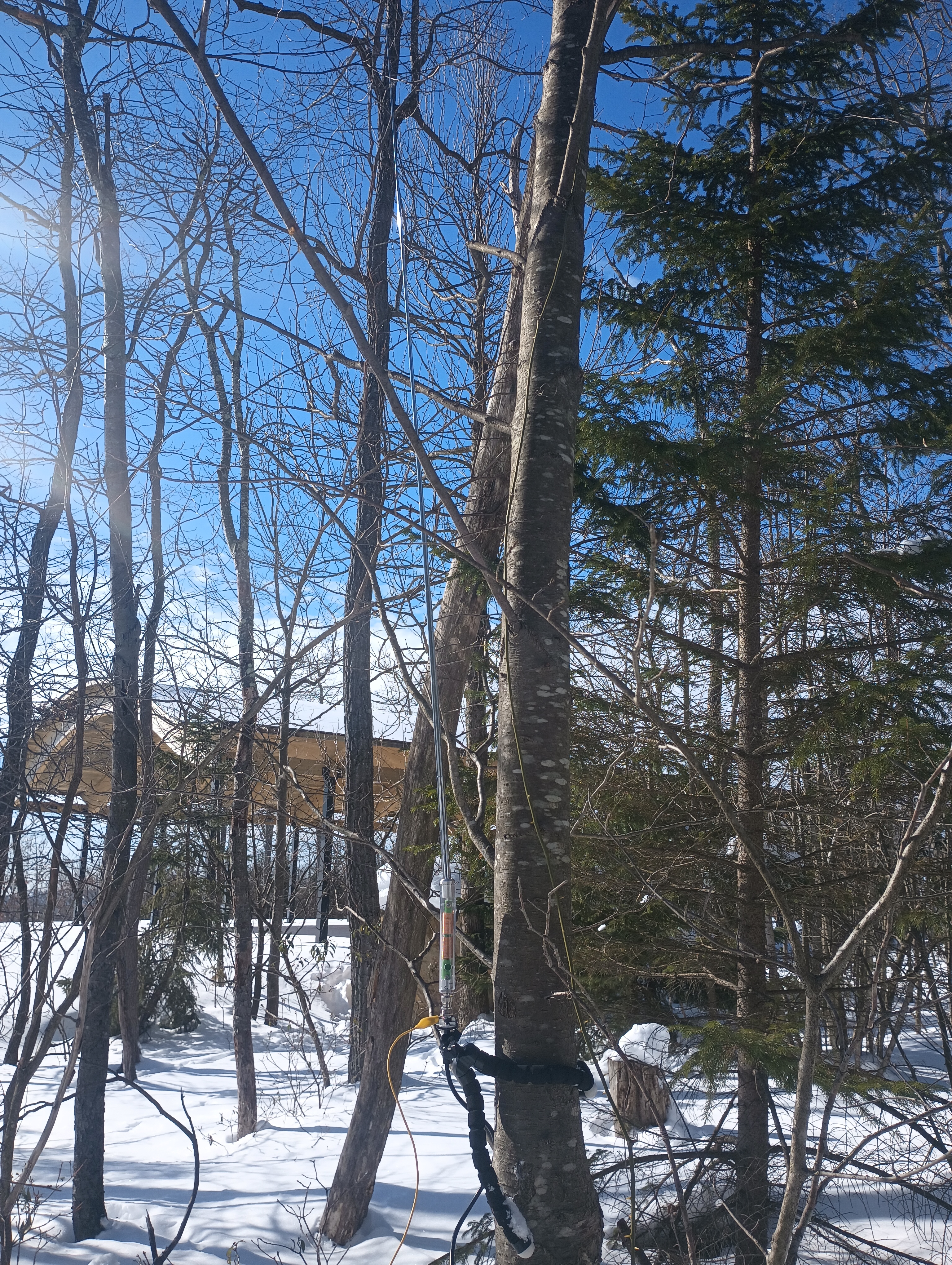
I got a good 36 QSOs in 40 minutes, including a S2S with KC7WXD on Spanish Benchmark in Nevada (W7N/WC-084) and KB9ENS on Mount Lawlor in southern California (W6/CT-089). After waiting patiently for so long, Luna was happy to get back on the trail and jump through more snow. Blue Knob is an easy 10-pointer, one of only 4 in all of W3-SOTA. This trail was a great way to make activating it more of an adventure than a simple drive-on!
Trailhead: 40.28915, -78.58924 : Chappell’s Field Trailhead
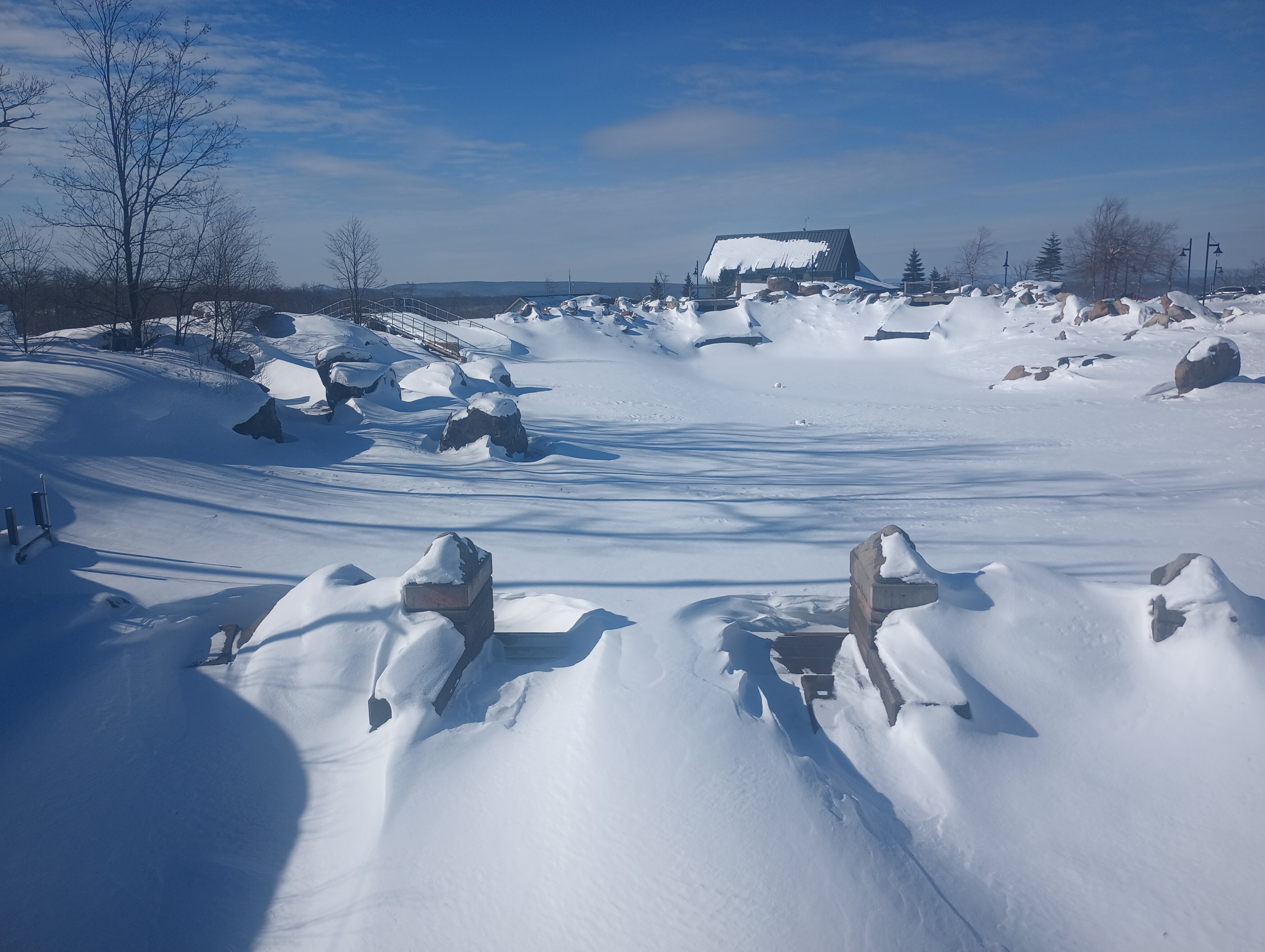
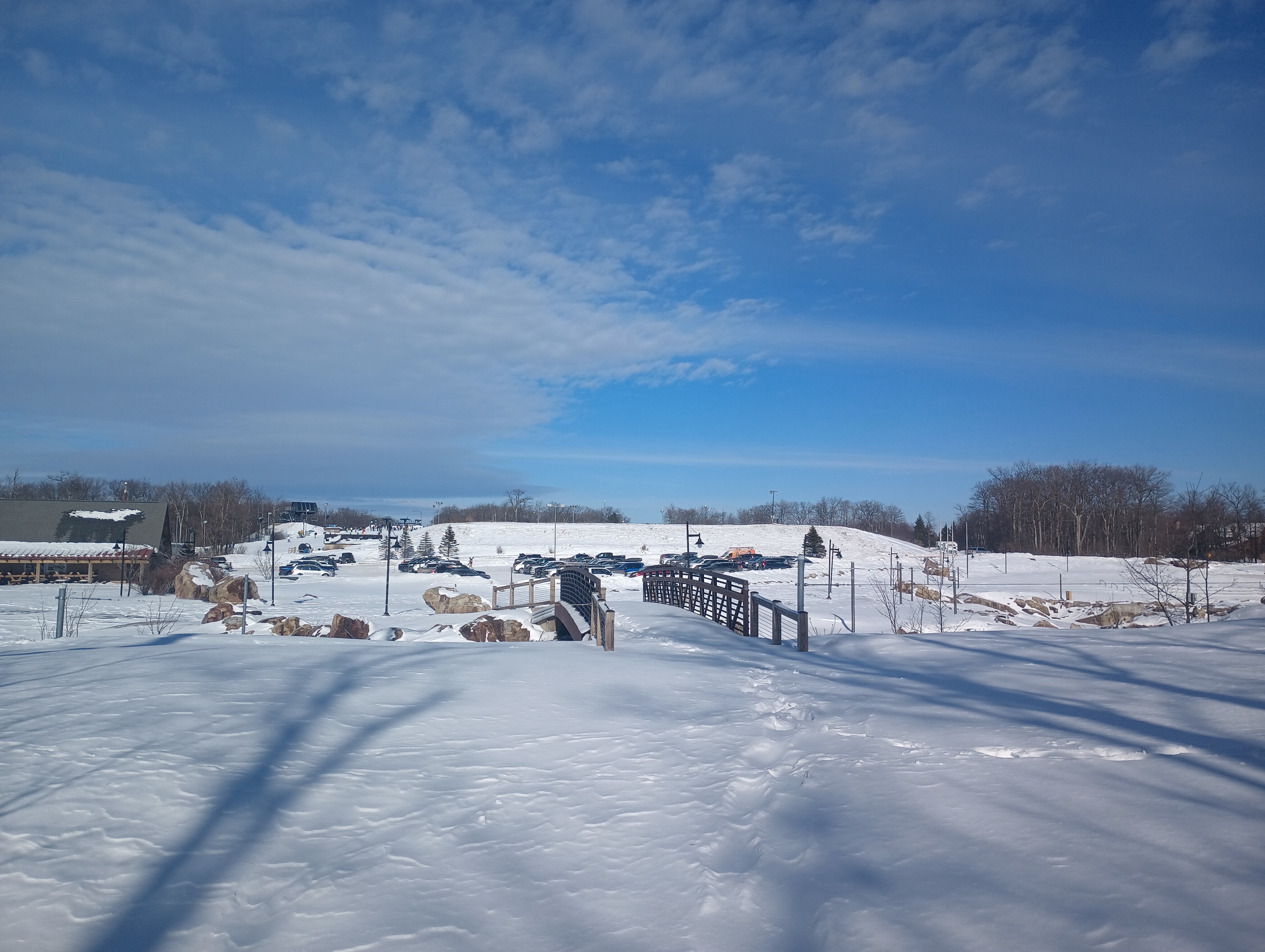
After activating W3/WE-002 Dans Rock, I stopped for lunch in Cumberland. I then started to work my way back towards Pittsburgh, stopping by the Wisp Ski resort for the tallest SOTA peak in Maryland at 3091 feet: Marsh Hill. This was the middle of the ski season, so I did some “creative” hiking to get out of the way of all the skiiers and snowboarders.
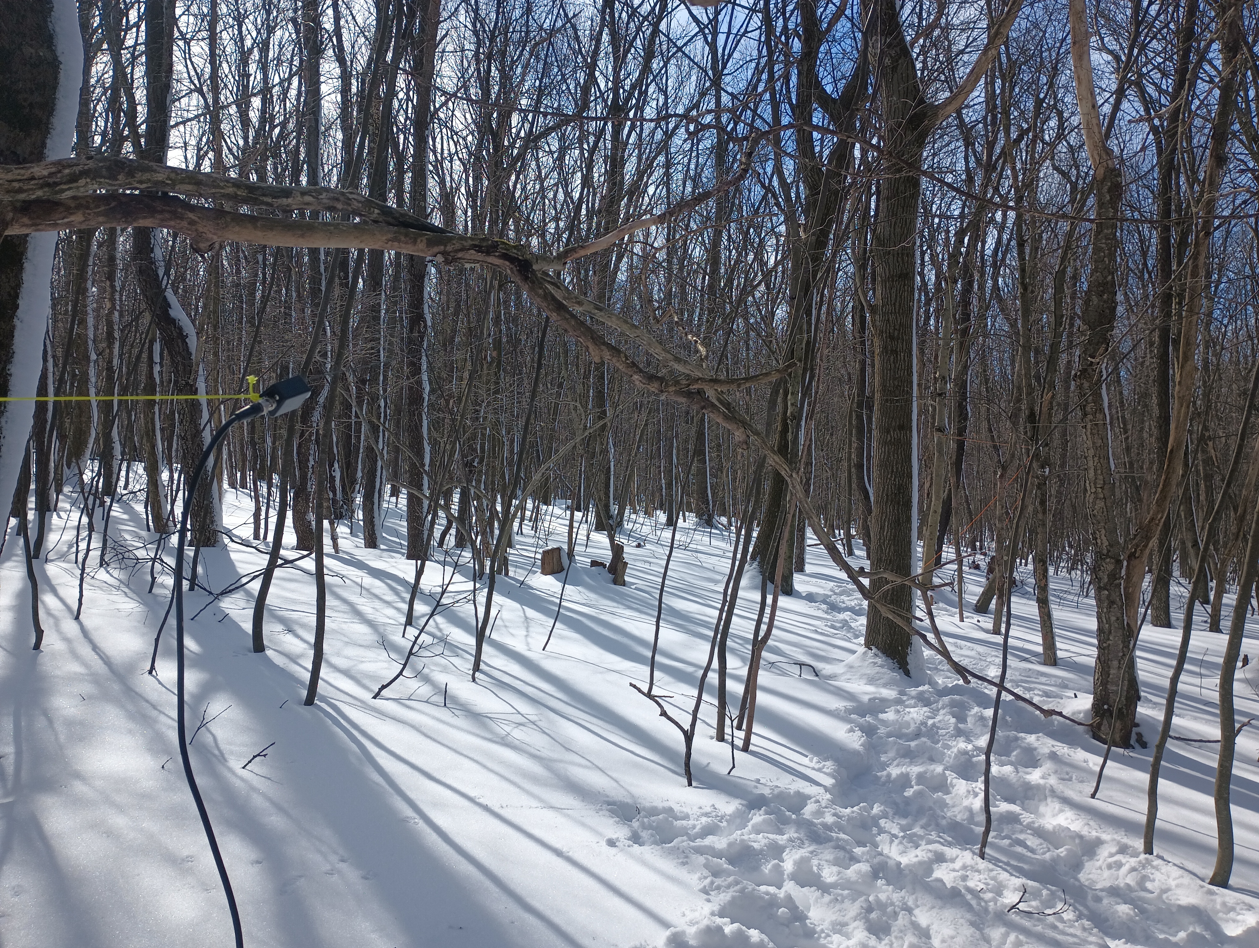
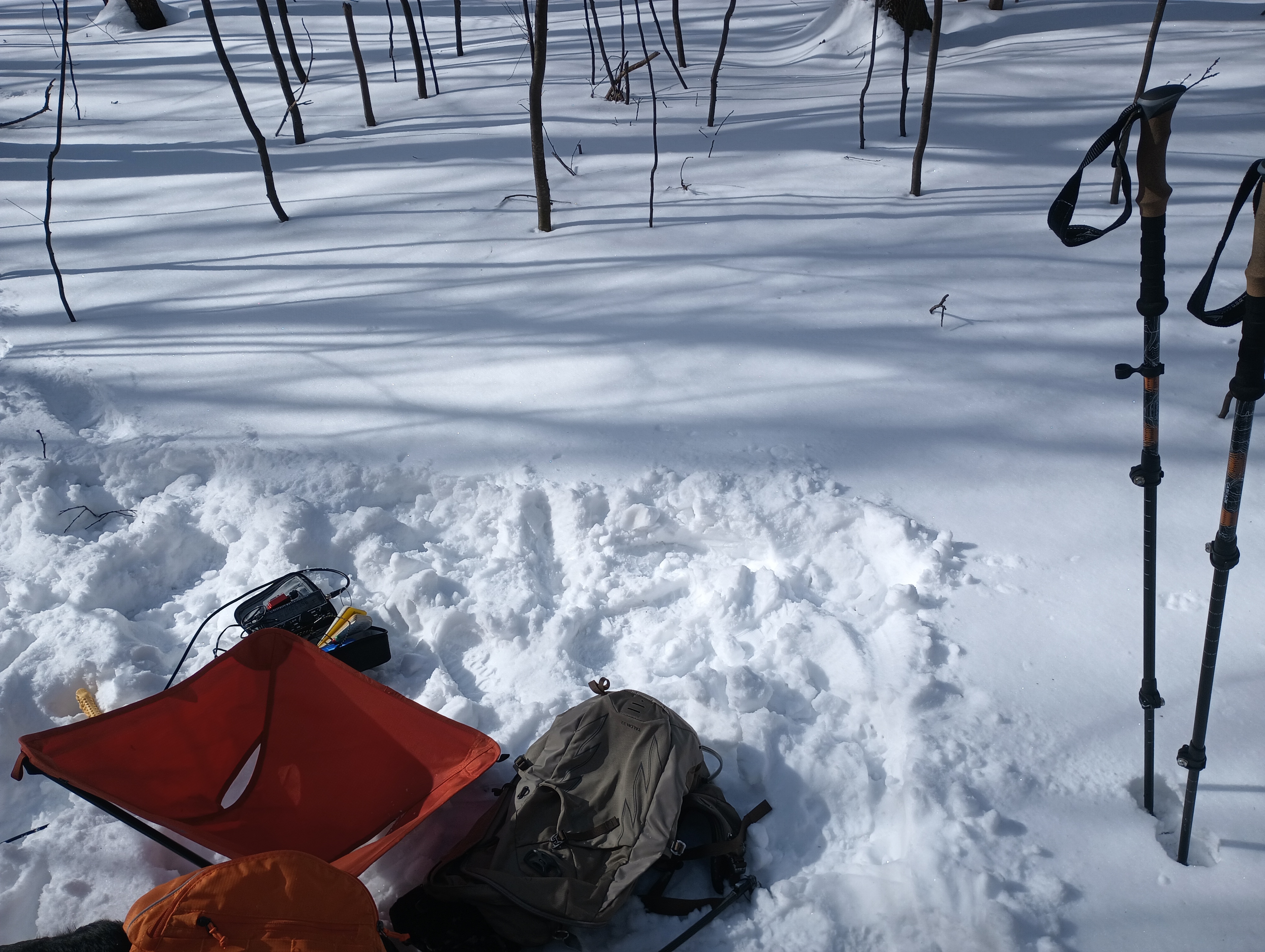
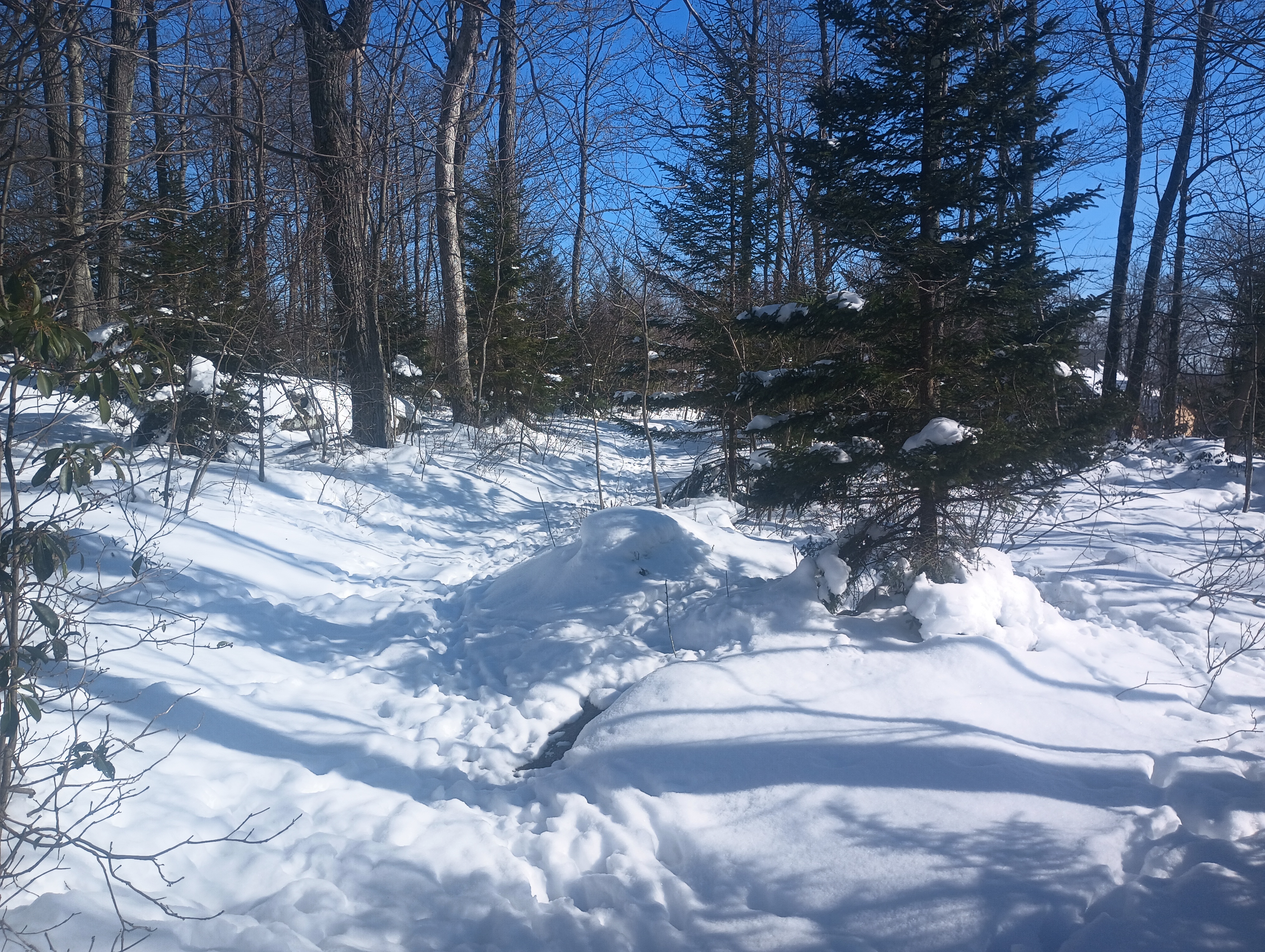
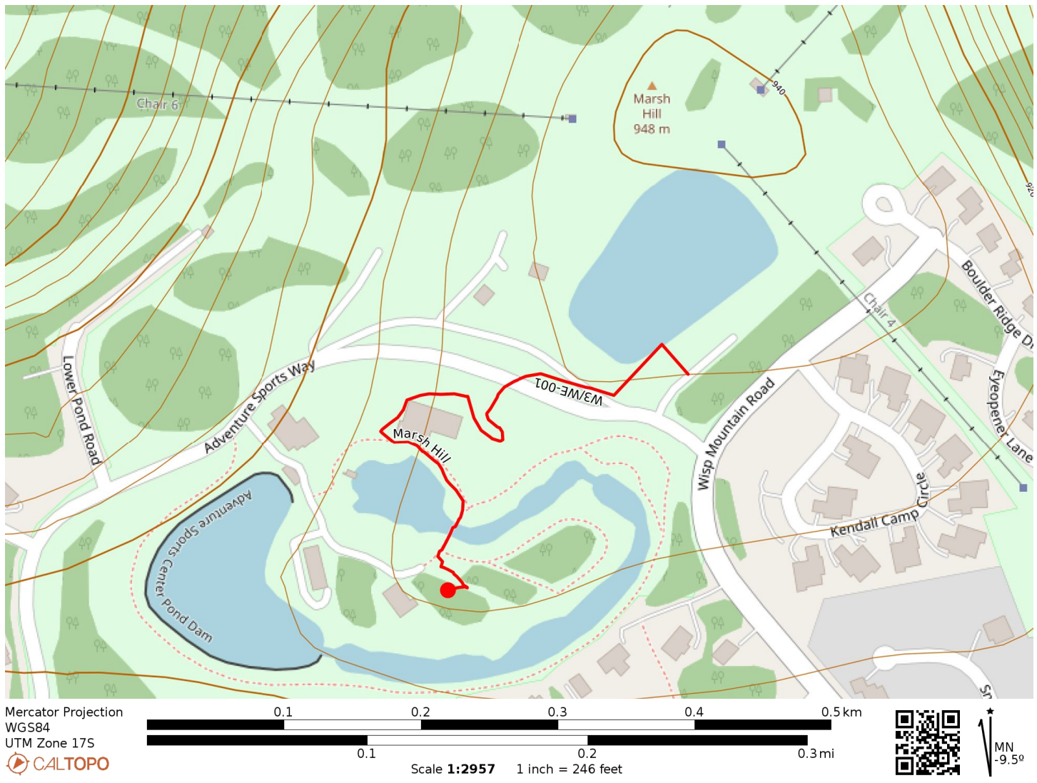
I walked around the “Adventure Sports Center” cabin towards the whitewater course. The rapids were obviously closed for the winter season, but there were a few trails around here that felt like an unobtrusive place to set up. I hunkered down into the snow, which was a bit over a foot deep, in a small wooded area. I strapped the AX1 vertical to a tree and worked 22 QSOs, all on 20m.
These are probably going to be the easiest 10 (+3 winter bonus) SOTA points I’ll ever earn! I continued on for a return activation of W3/PT-011 Pondfield 2 Benchmark, rounding out the day with three SOTA peaks and a daily haul of 35 points, a new record for me!
Trailhead: 39.547121, -79.3714821 : Wisp resort parking lot
I wanted to add a second peak to my trip after bagging Snowy Mountain, but I was concerned about the building winter storm. AC3B’s trip report noted that the forest road leading to Big Mountain (the high point of the Tuscarora Mountain ridge) was wide and unexposed to steep cliffs, with plenty of opportunities to bail if needed. It also is within Buchanan State Forest, so this works as another SOTA/POTA special.
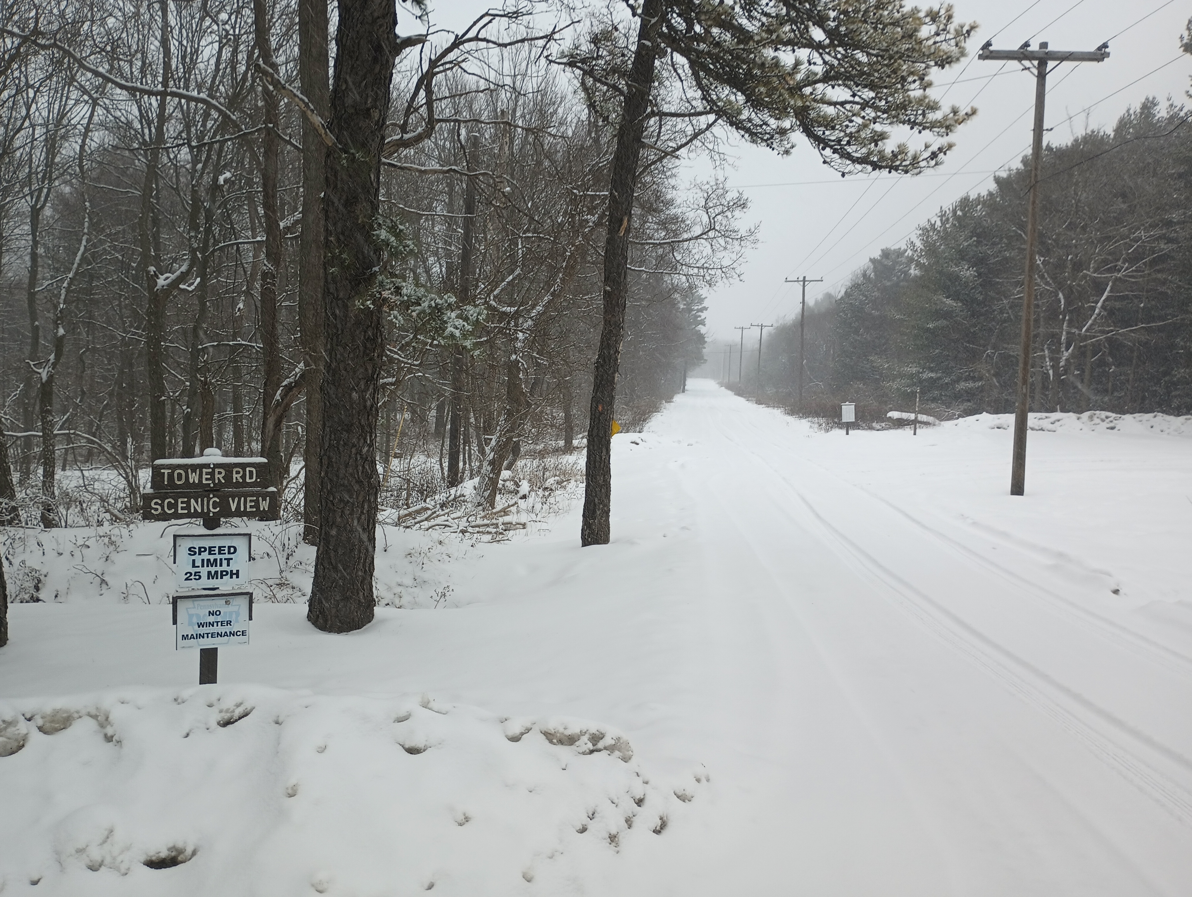
To get there, I drove west on US-30, then turned onto Augwick Rd. I followed this for a mile, then turned onto Tower Road, which is not maintained during winter and was covered in snow. I just had to take things slow and in low gear for the 2-mile drive to the summit, letting my Subaru’s AWD rise to the occasion. The road was double-track width, which was comforting (even though I didn’t pass anybody on the way up or down).
Tower Road looks like this the entire 2-mile drive up. Dear reader, the sign that says “No Winter Maintenance” was not lying! Still my low-clearance sedan with AWD made it with minimal slipping (going slow and low gear).
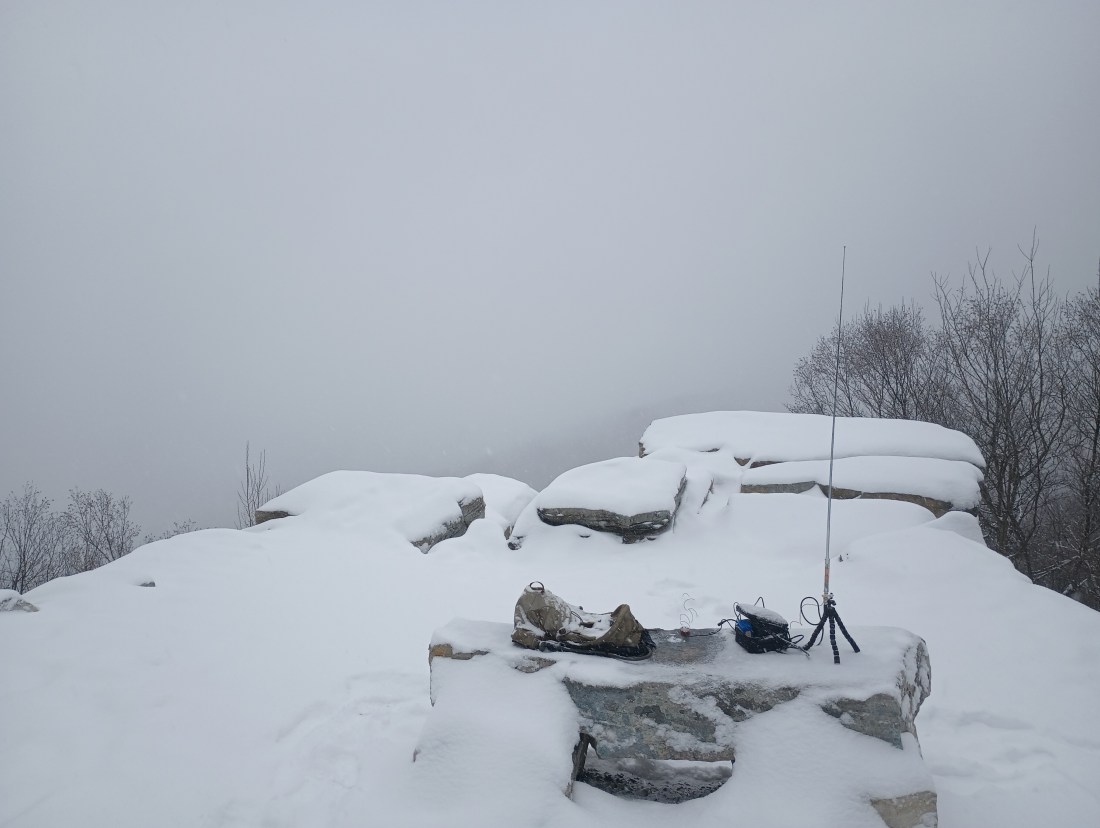
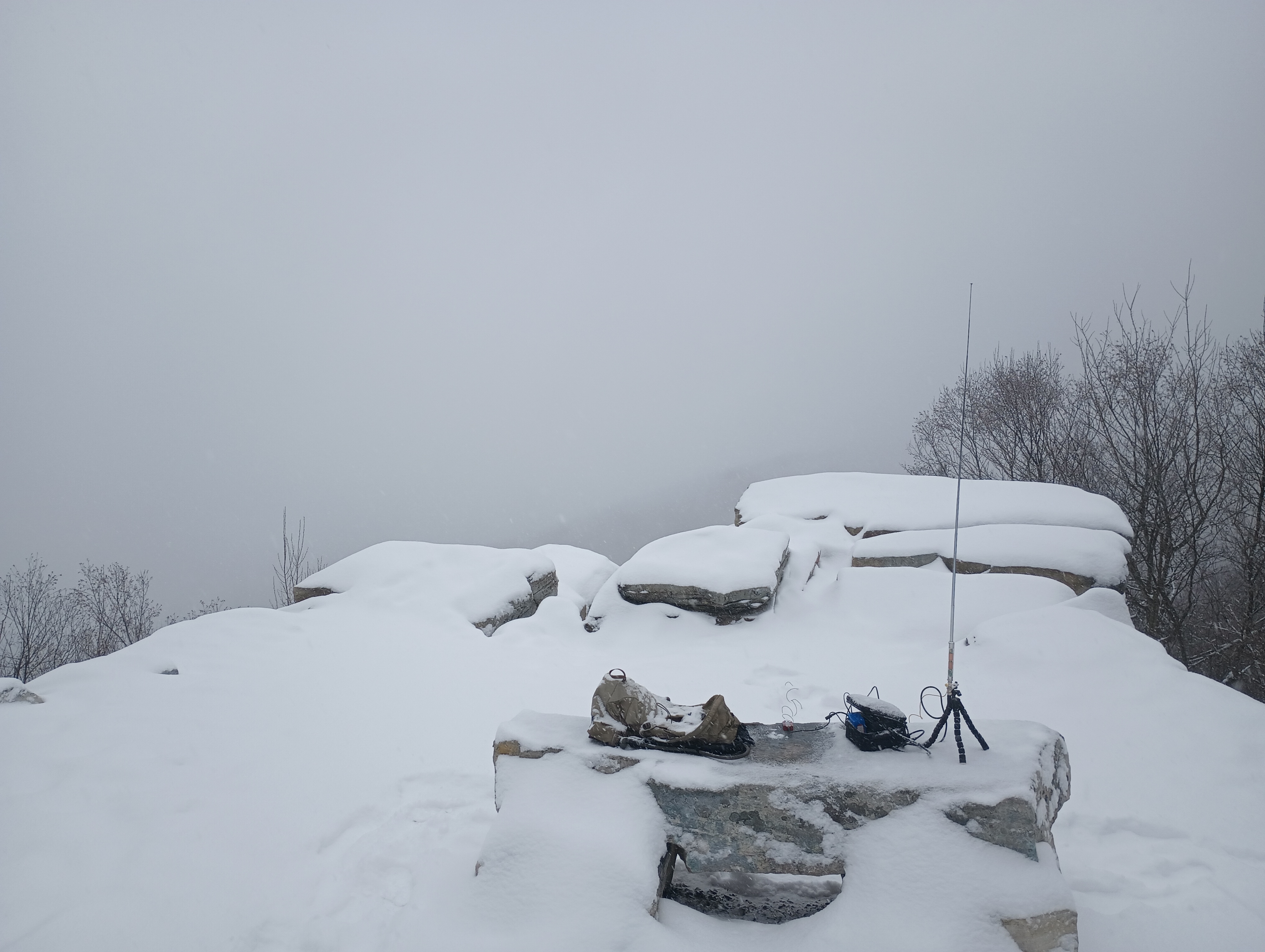
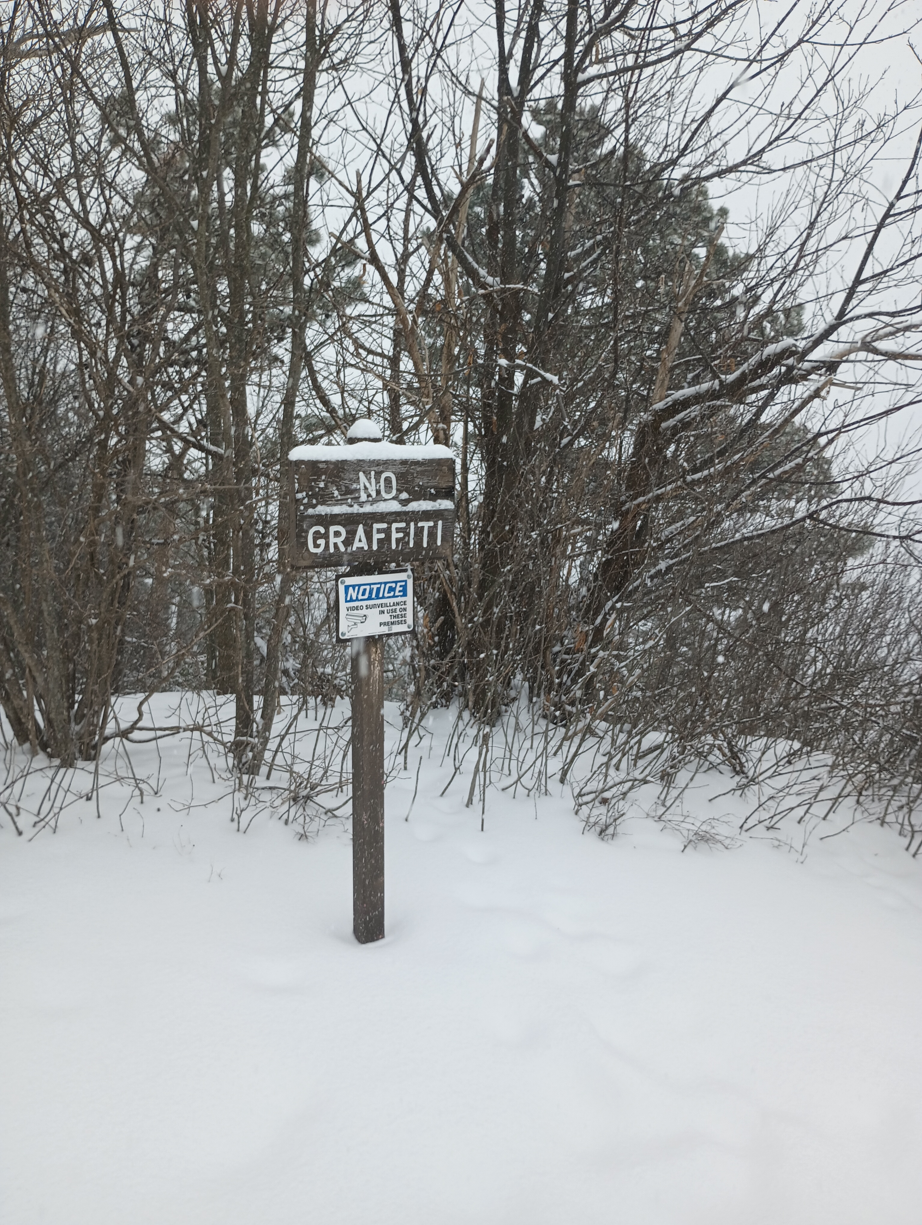
I parked along the small loop by the overlook and saw where the Tuscarora Trail continues north through the woods. The vista point must be great in clear weather, but all I could see today was a gray haze. I took in the view, setting up on the stone bench while opting to operate while standing. There was a security camera making sure that nobody would spray graffiti onto the rocks. By now, the flakes were coming down thick and making everything wet. I was thankful for the AX1’s rapid and painless set up.
I picked up 11 contacts in just about 15 minutes, including a S2S with WW4D on Cedar Creek Mountain (W4C/US-029). My notepad was starting to soak with the heavy precipitation and I decided to pack it in.
Trailhead: 39.92892, -77.95549 : The intersection of Augwick Road and Tower Road, just north of US-30
Map: [AA3TZ SOTA] – For the driving track along Tower Road
Route: Drive-on along 2-mile forest road (no winter maintenance, but relatively easy drive as forest roads go)
POTA: Buchanan State Forest (US-5463)
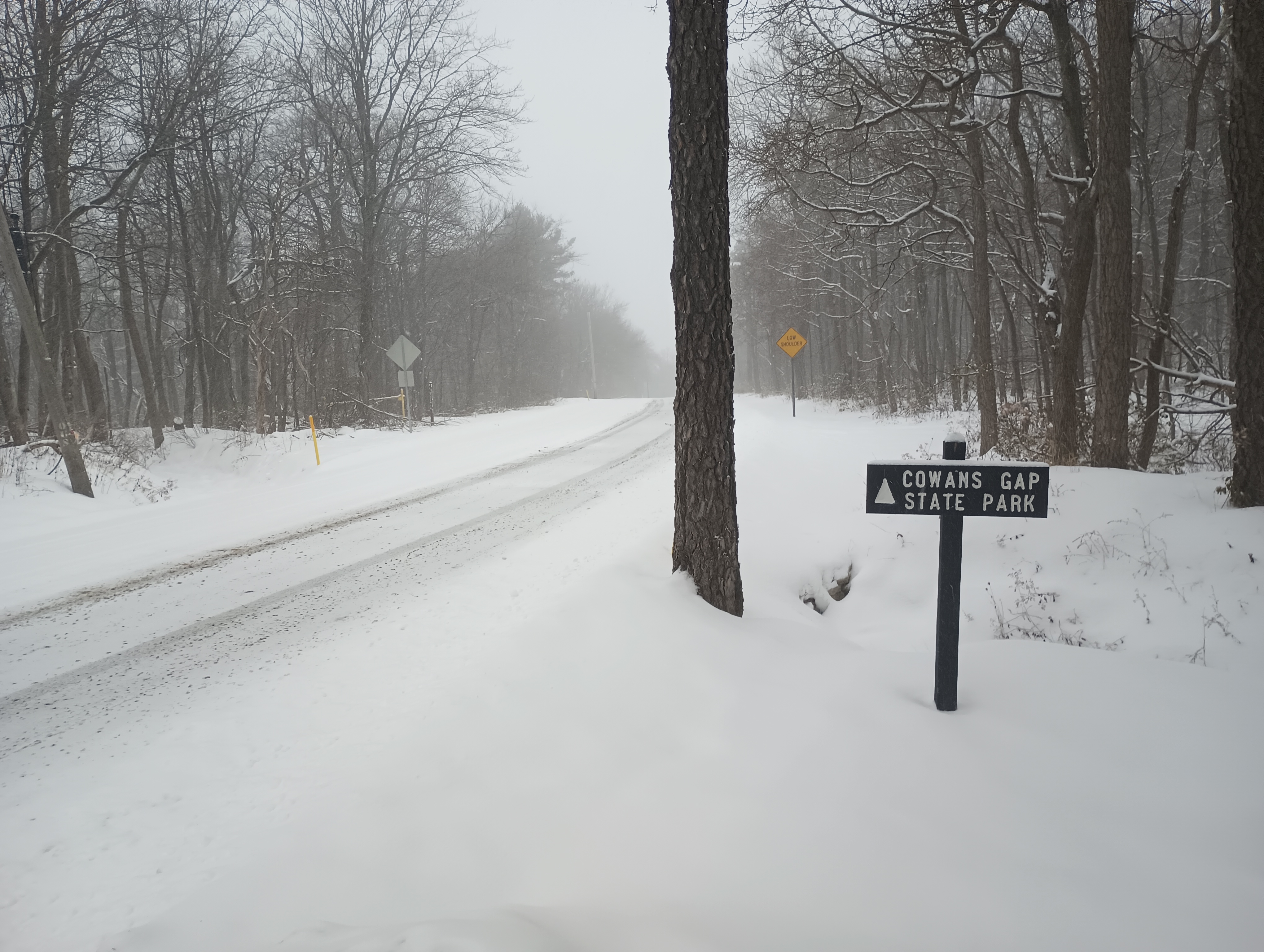
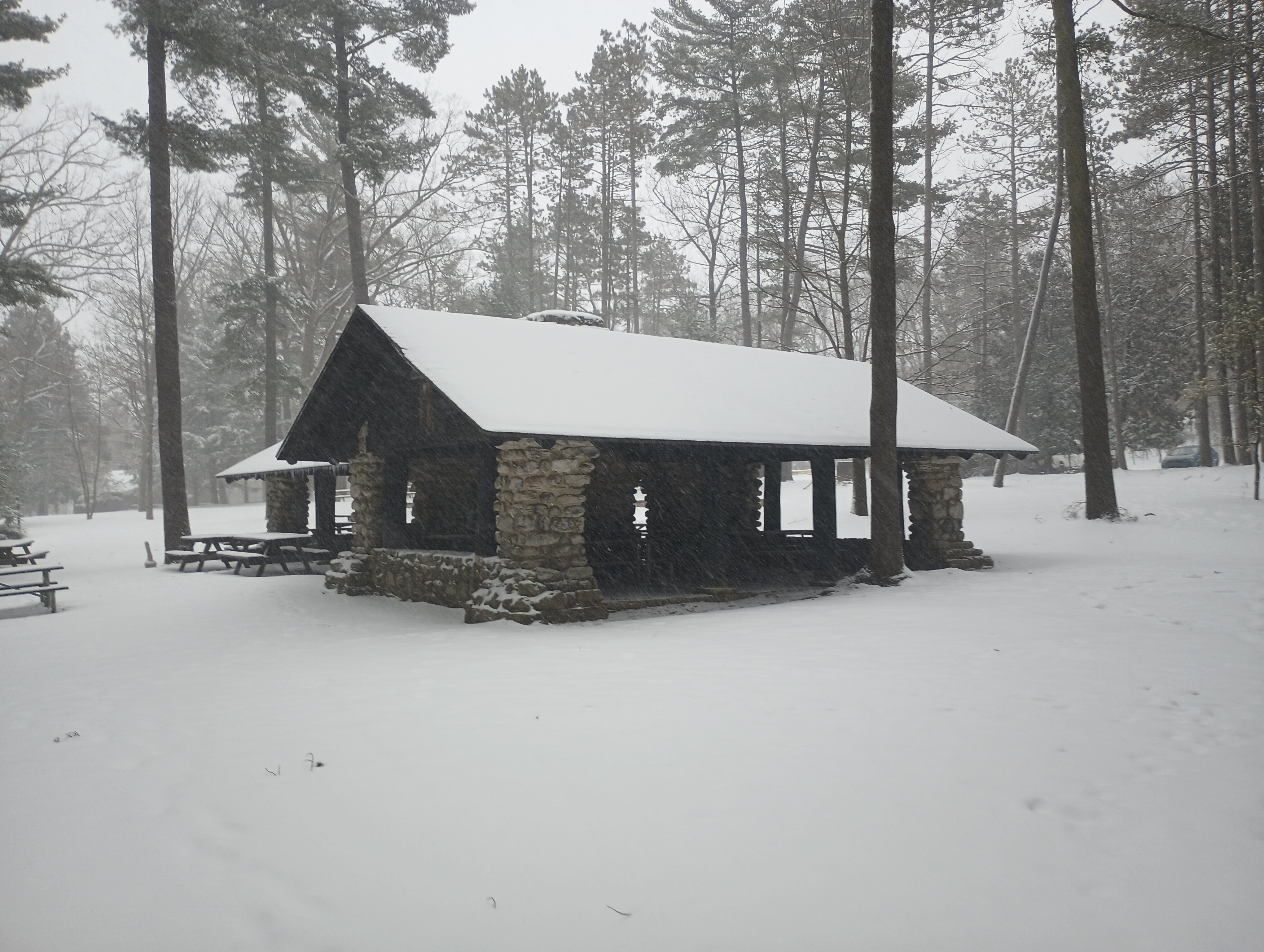
As I was leaving, this sign for Cowans Gap State Park beckoned me to continue north on Augwick Road for a POTA chaser, just 4 miles away. I set up in a picnic shelter near Parking Lot #2, not far from the park office. I could relax a bit and enjoy drier conditions for a bit.
Now that I’m accumulating PA state parks and forests, I feel like I should try to visit/activate them all: 124 parks and 20 forests!
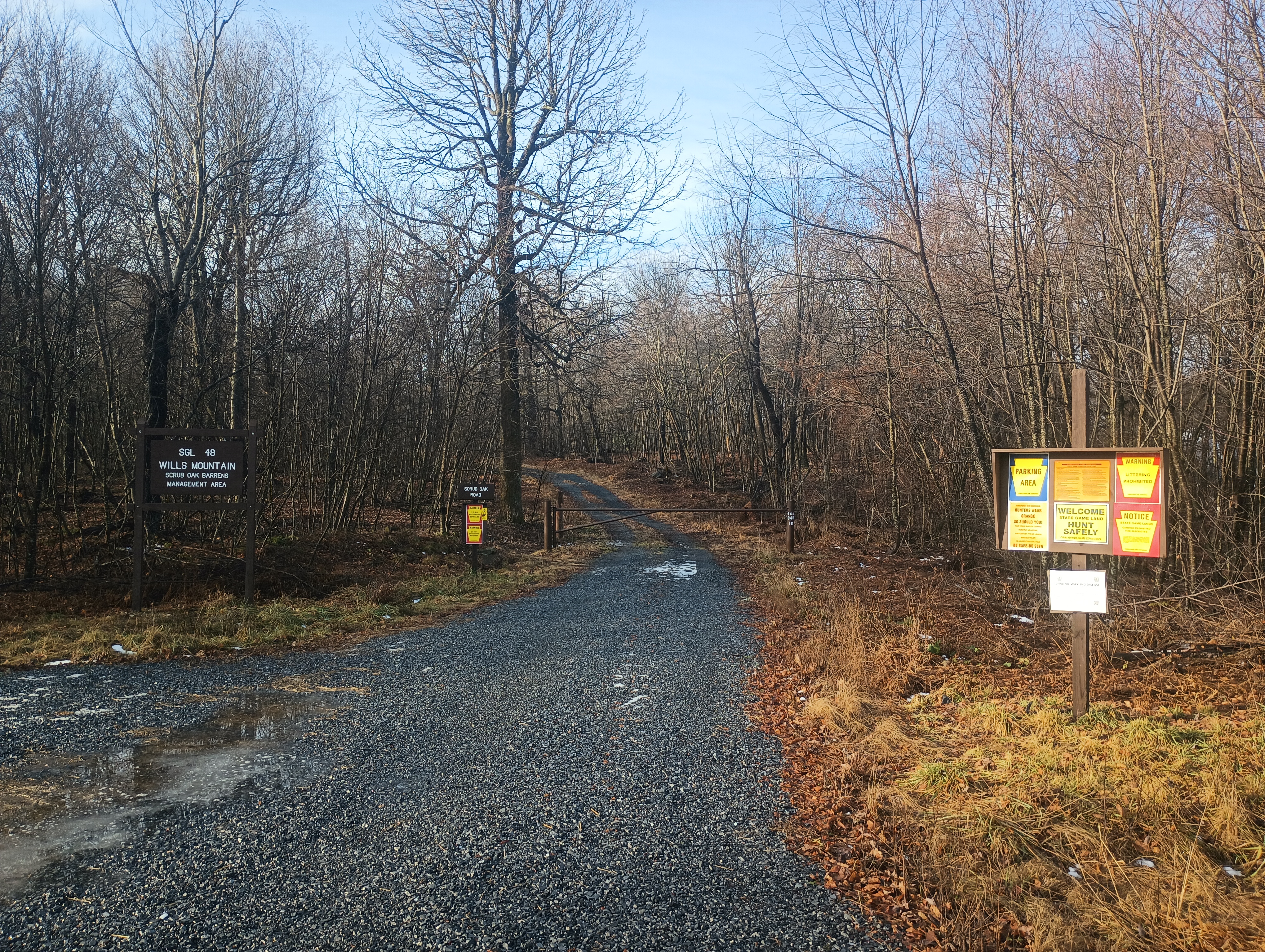
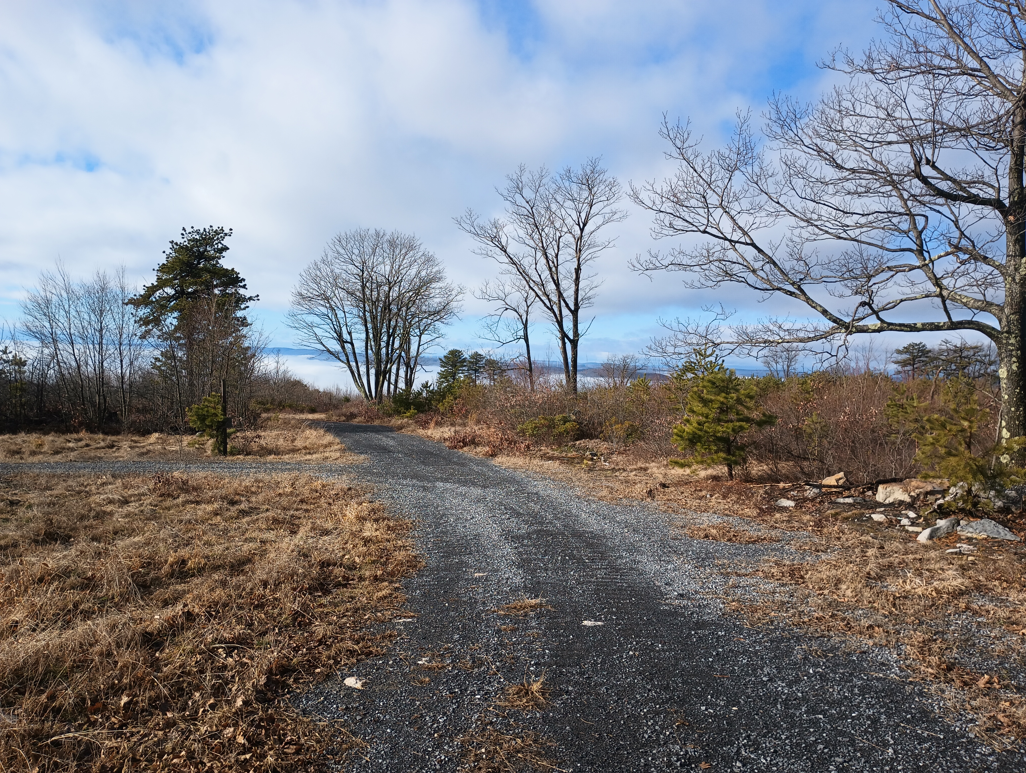
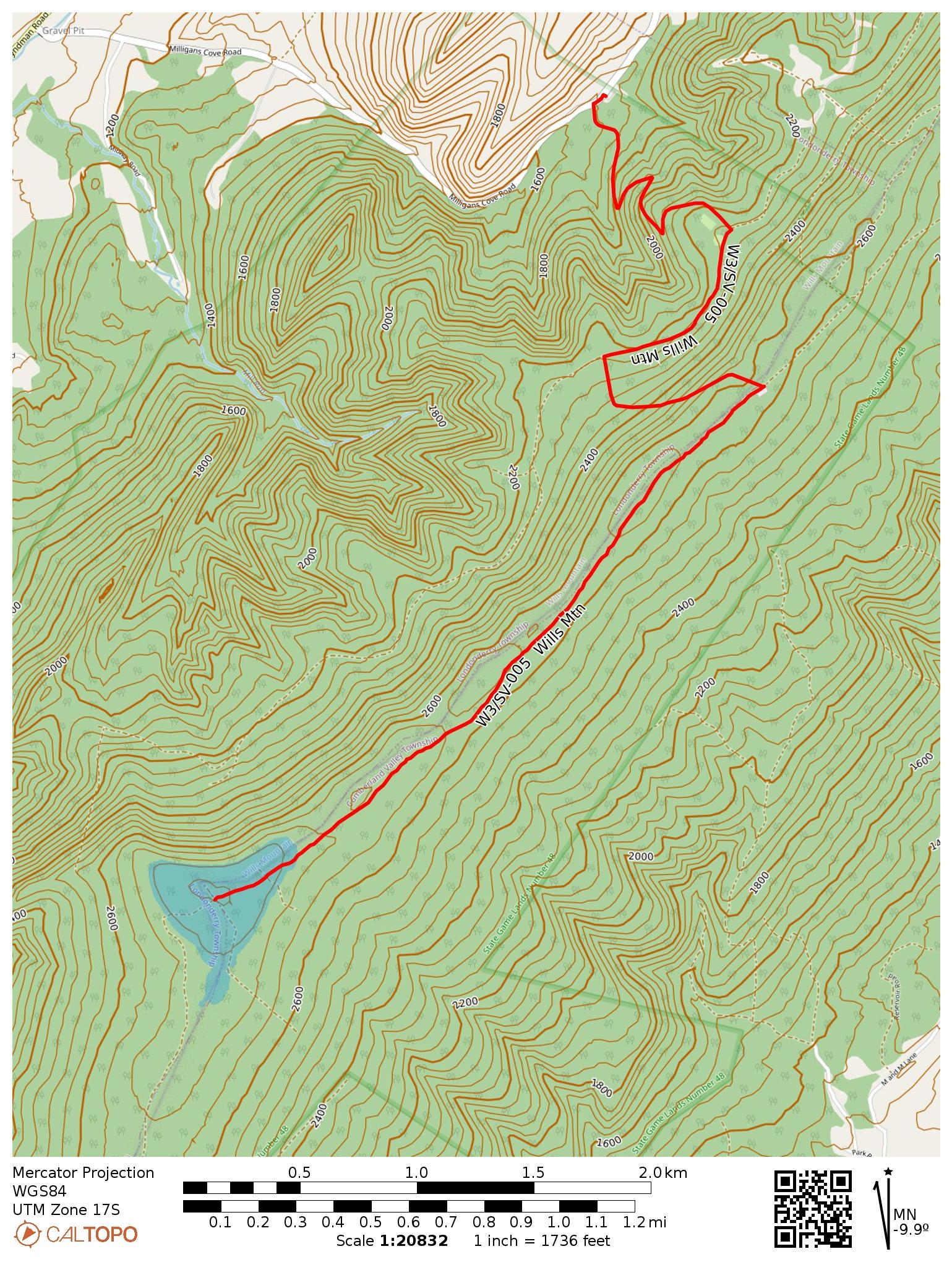
This was my last SOTA activation of 2024, in late December. I was avoiding going out due to rifle season, but now that that was over, it was time for one more radio hike. Wills Mountain is a ridge that extends north-south between Pennsylvania and Maryland, located in PA State Game Land 48. You have your choice of two roads when driving there: PA-96/Hyndman Road goes along the west side of the ridge, while US-220 goes along the east side. There appear to be many ways up, though trail options are limited from the PA-96 side, which is the road I happened to use.
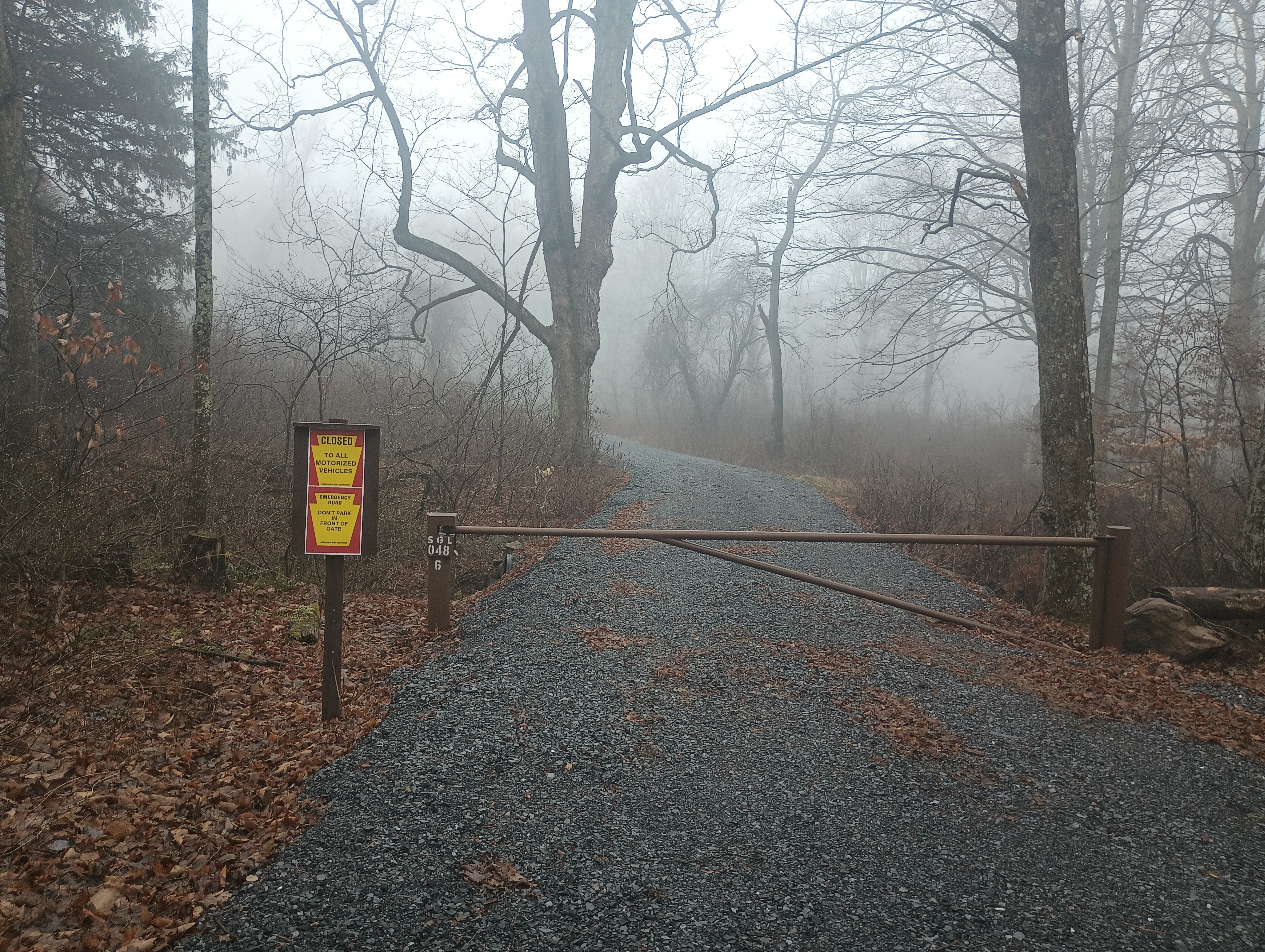
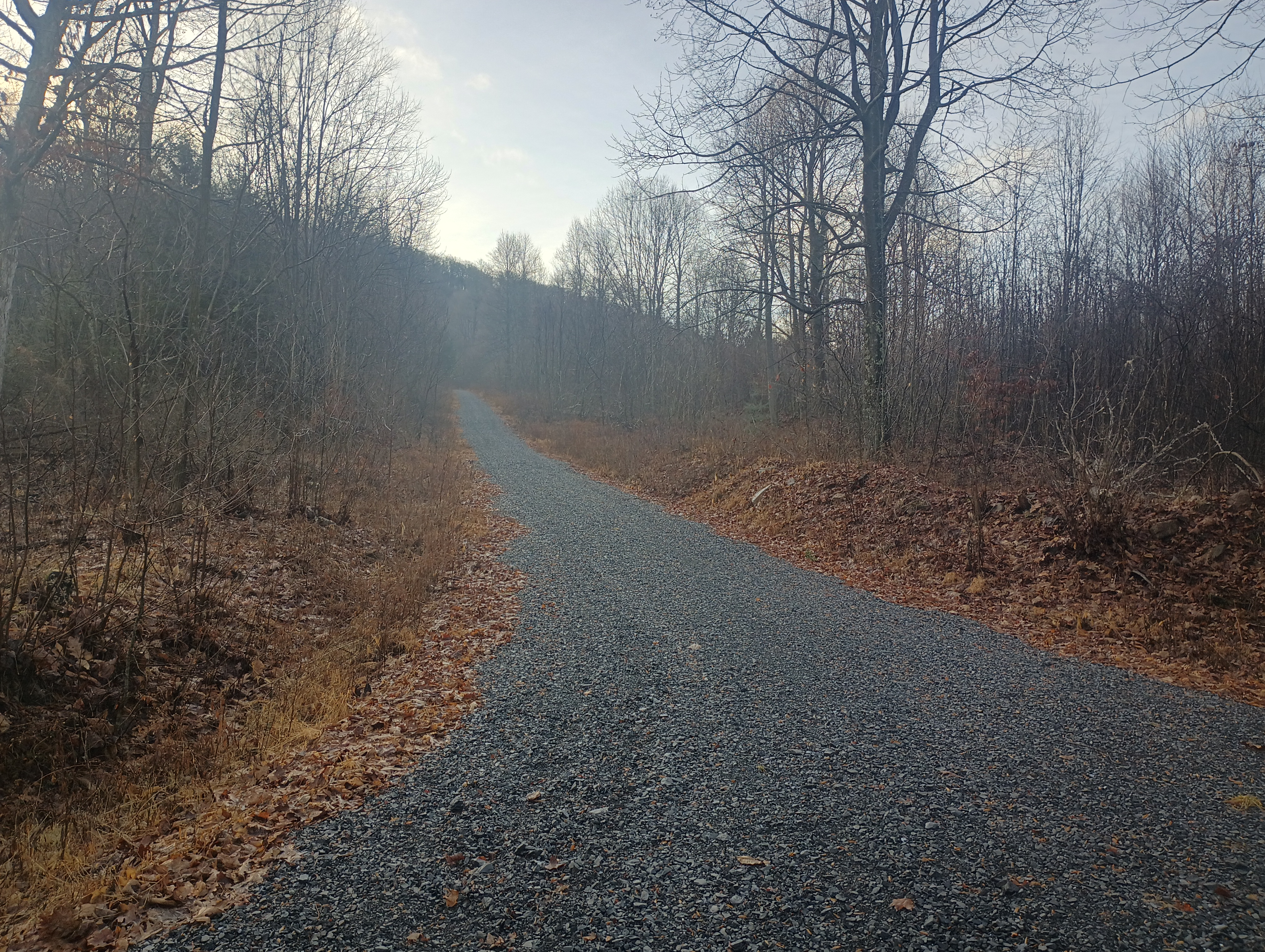
I turned onto Milligans Cove Road to get into the game lands and stopped at a small parking area by a gated dirt road. Here the game lands are divided in two by private property, and going any farther would have gotten me into needless trespassing. I did not have to pass through any gates to get here, so this route should be open outside of hunting season.
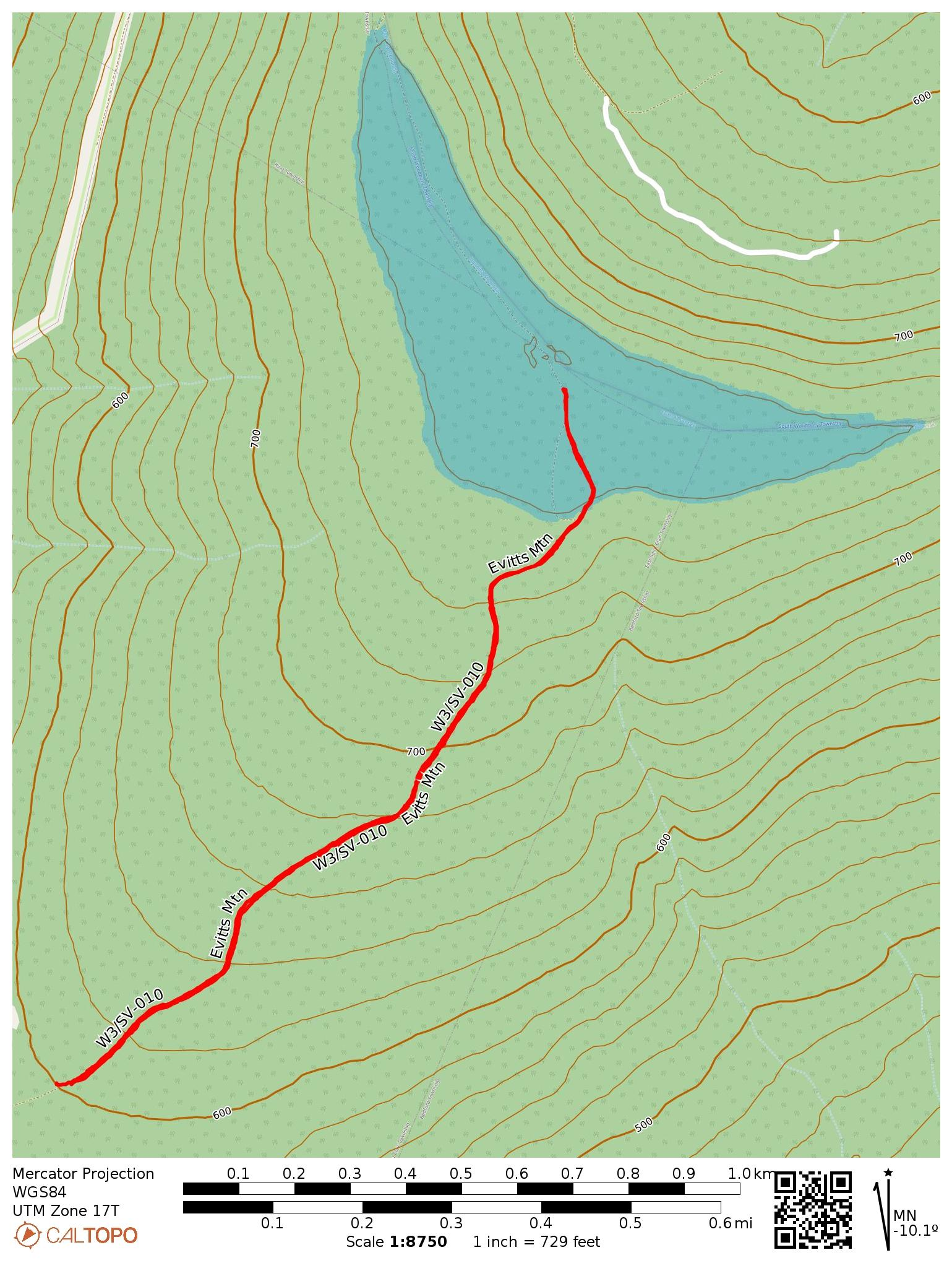
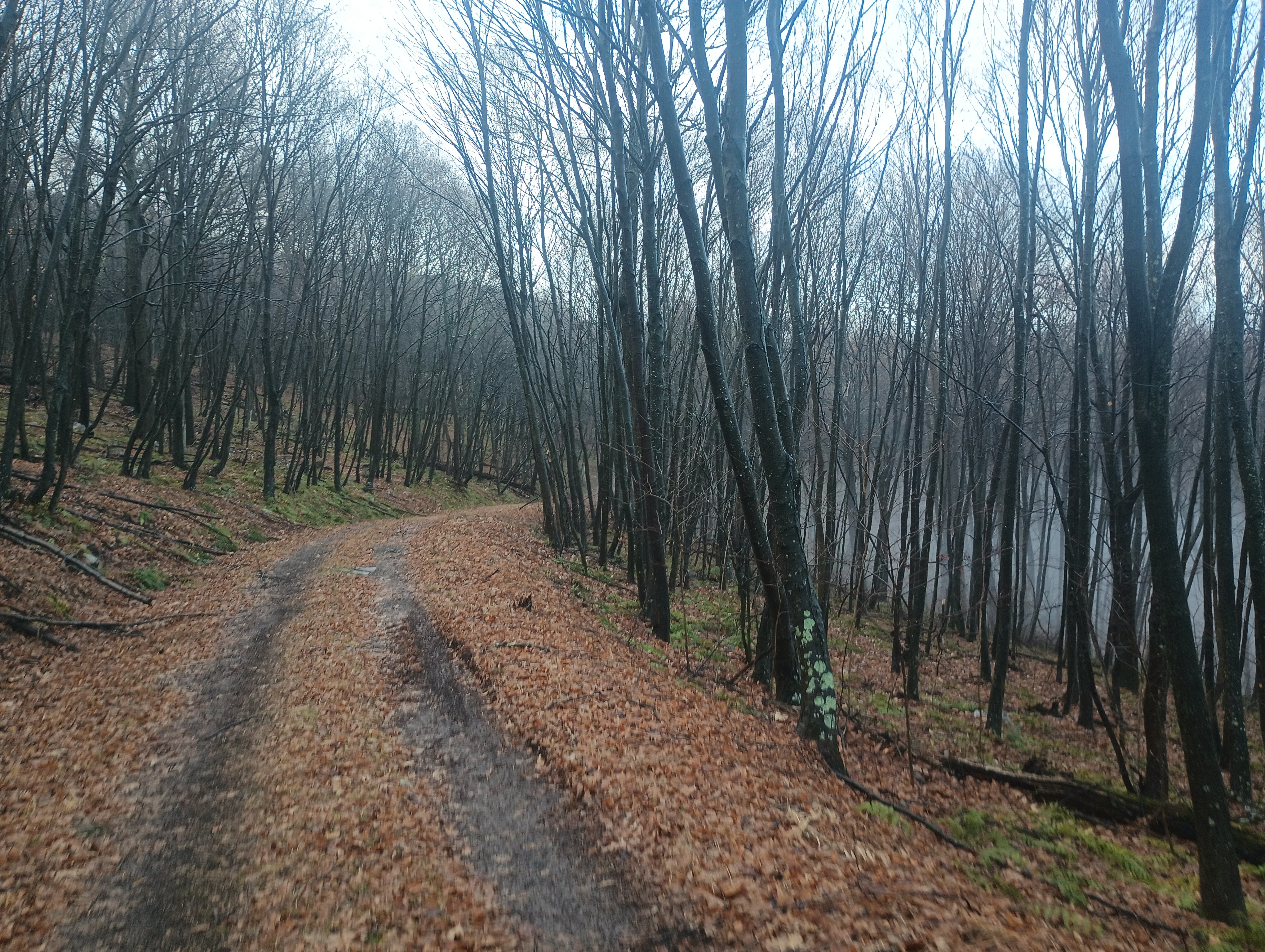
The first mile of the hike was a series of switchbacks up for 550 feet of elevation gain. The trail flattened out for a half mile, then it was another 400 feet of climb until mile 2. Here is a parking area that is open during hunting season, and would be a great place to park, but you have to approach from the east US-220 side of the mountain ridge.
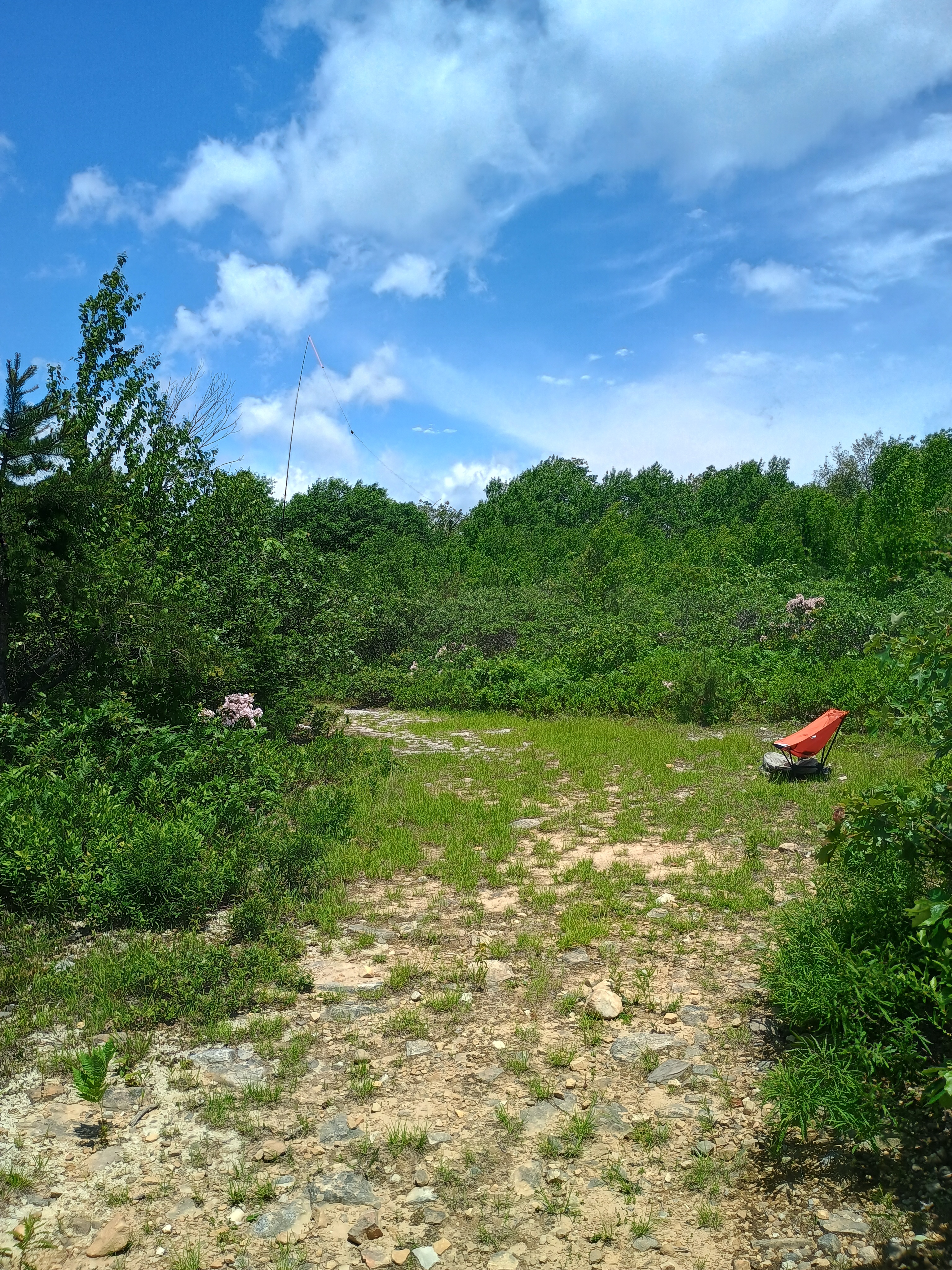
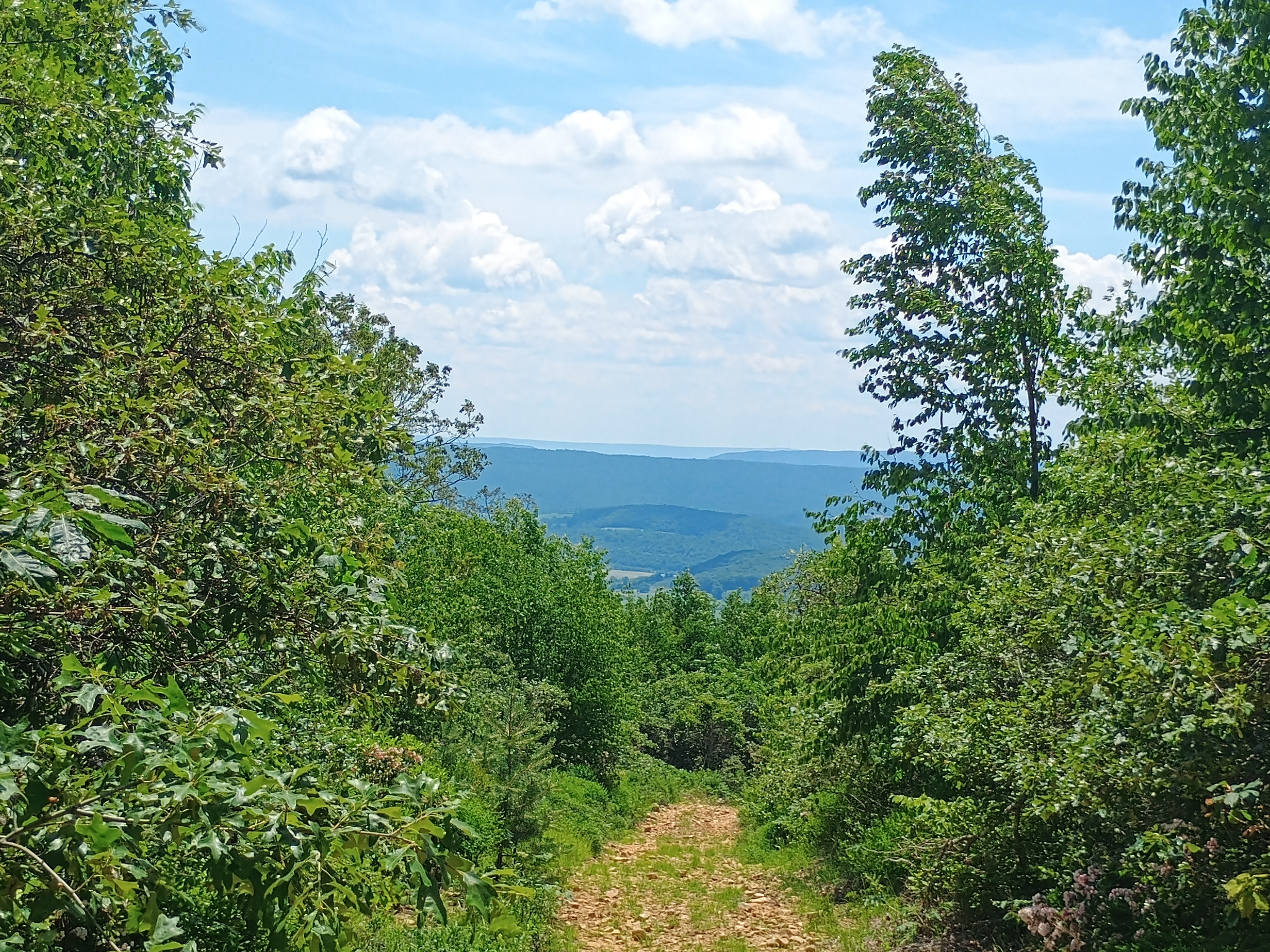
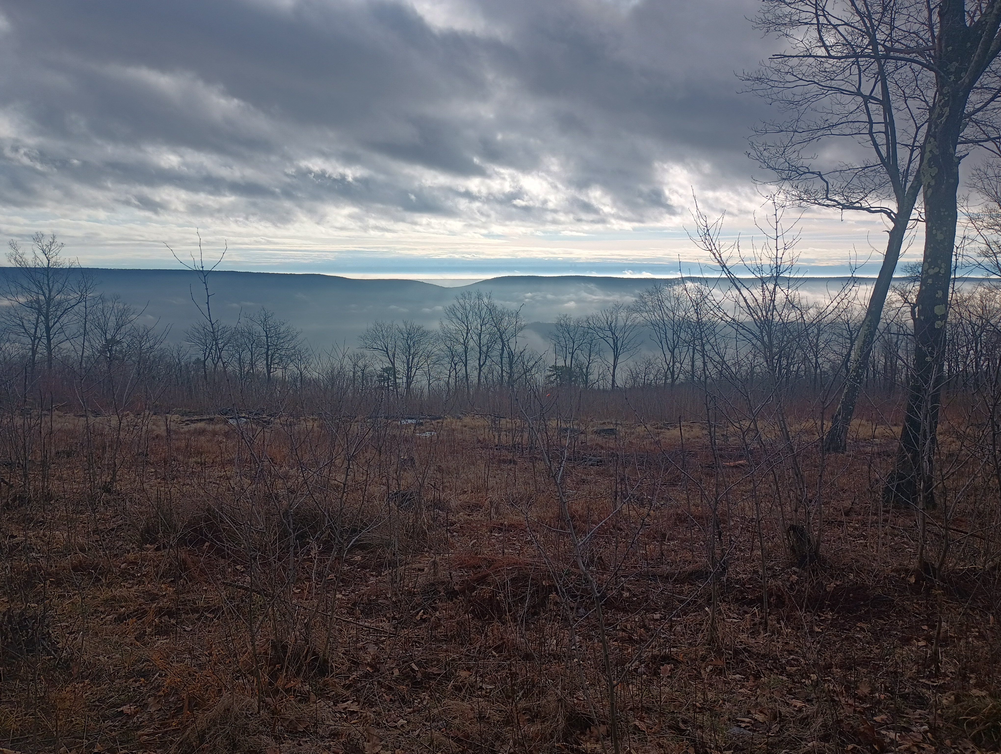
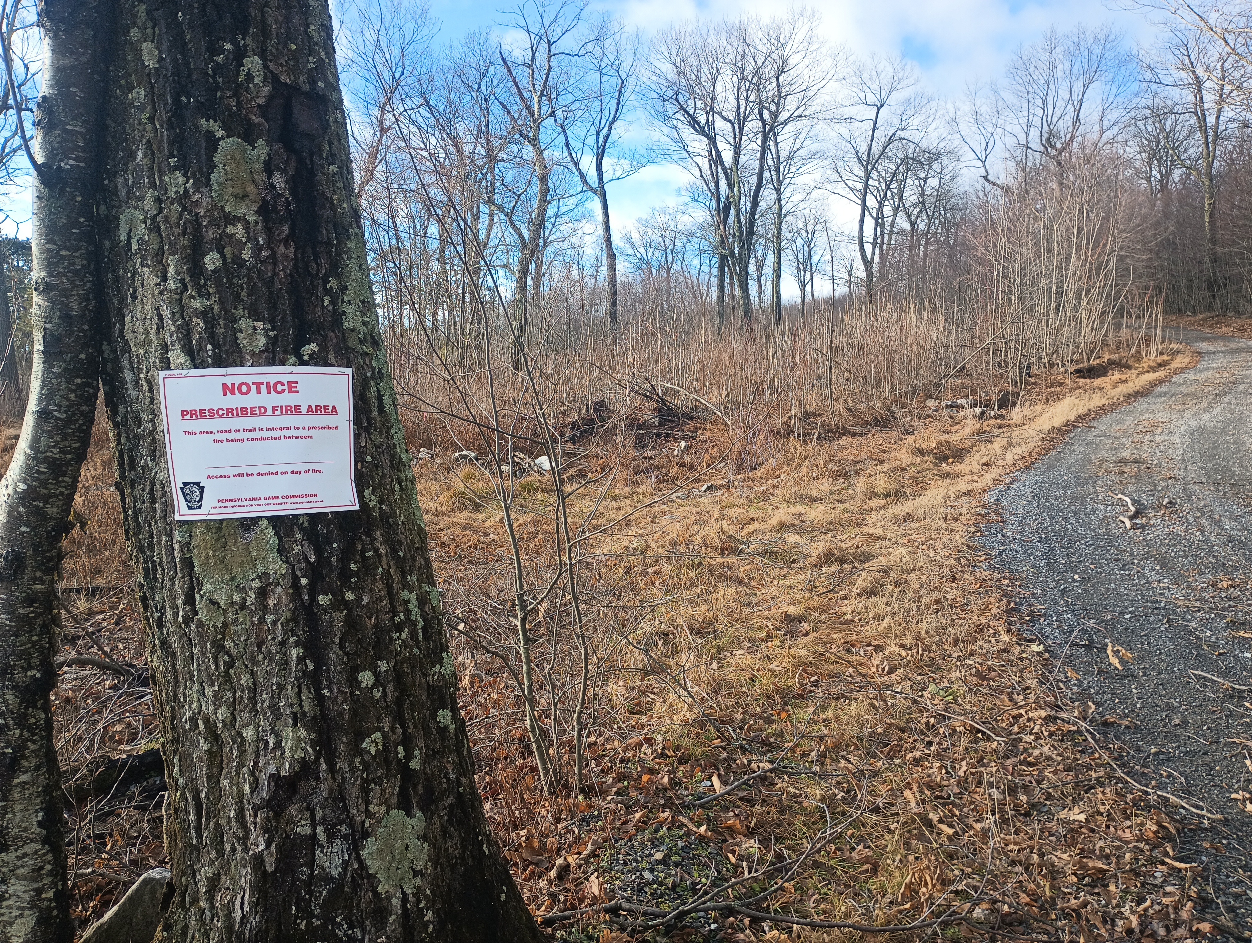
After this, the hike followed the Wills Mountain ridge for 2 miles. From here, I had a cool breeze. This is a controlled burn area, so there are some wonderful views of the surrounding hills in the cleared parts. At the summit are plenty of trees for throwing up wires.
Views of Evitts Mountain from the ridge.
Since this was one of the last days for the 2024 10m SOTA challenge, I started on 10m, picking up some DX: F4WBN, IK5DAK, and M1EYP/P on G/SP-015 The Cloud. I also worked WN2G S2S on W3/PW-038 Jefferson County Highpoint on 40m, which is on my to-do list of nearby SOTA peaks. I did not linger too much longer since I was hearing continuous hunting fire in the distance (or perhaps it was a shooting range), so I wrapped with 14 QSOs.
I had planned to follow this up with an activation of nearby W3/SV-006 Martin Hill, but I had to rush back for dinner plans, so that became a POTA activation of Buchanan State Forest instead. I’ll be back!
Trailhead: 39.87622, -78.66157 : State Game Land 048 parking area. (39.86477, -78.65392 is another parking area open during hunting season that cuts off 4 miles RT.)
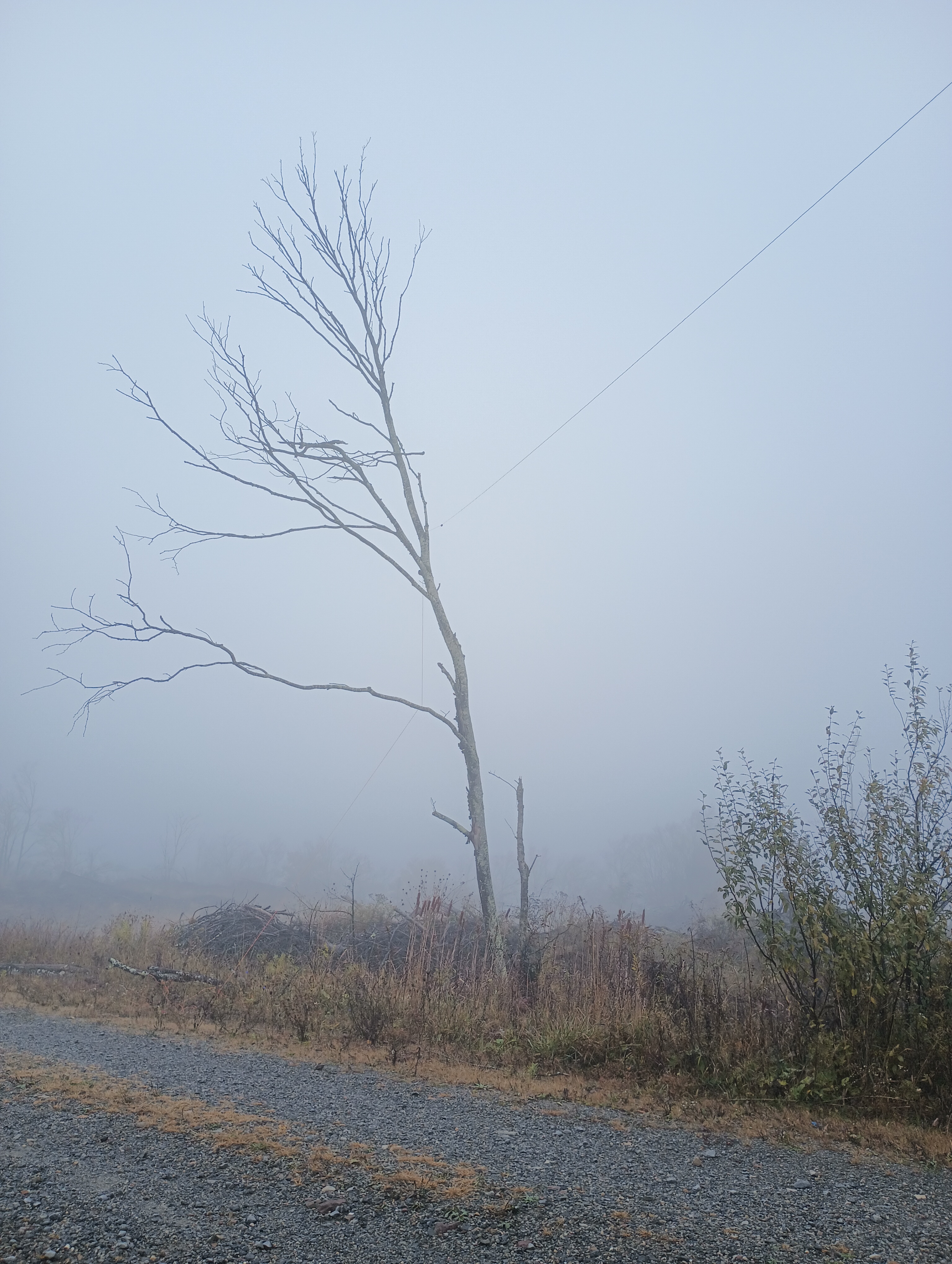
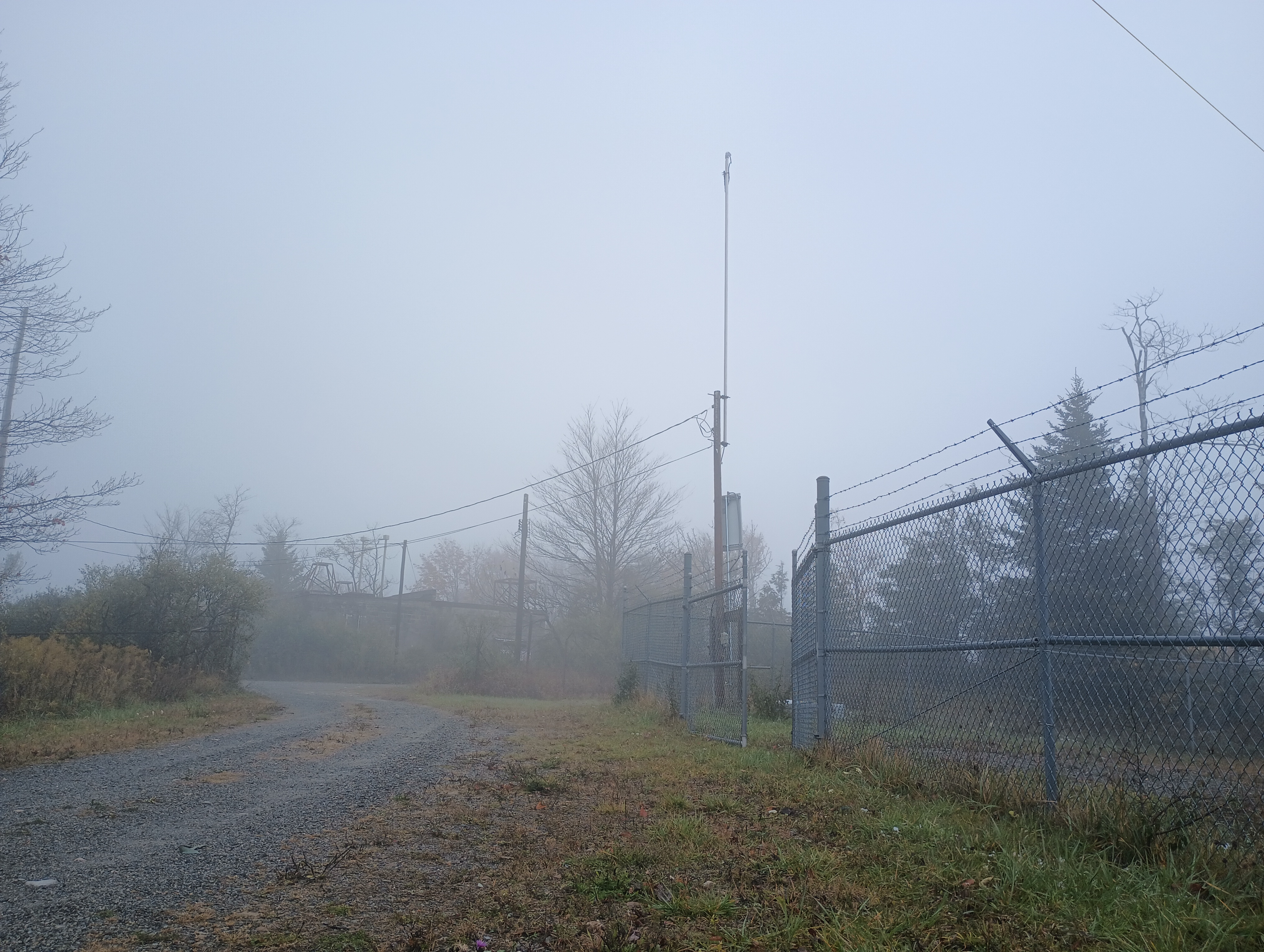
We were staying in Davis, WV to see the leaves during our fall break in mid-October. It was colder than anticipated, and the area got its first snow of the season while we were there! Driving up to Backbone Mountain was simple. We followed US-48 west out of Davis until we reached a parking lot for Fred Long Centennial Park, with large wind turbines nearby. Here we pulled into the gravel road across from this parking spot and followed it the quarter-mile to the summit.
It was very foggy, so there was not much to look at while getting my end fed as high up as I could. After 15 QSOs on 40m and 20m, I had a look at the spotter and I noticed many European stations were on 10m, so I decided to give it a try. To my shock and delight, stations from Europe were booming in, and I was able to work 15 more stations in just over 10 minutes before the mini-pileup had dried up.
10 meters really is the magic band! I did not use it often when I was more active in SOTA in the Bay Area, as sunspots were on the downswing during those years (2015-2018). I was lucky to get back into the hobby during the peak of Cycle 25!
Trailhead: 39.14683, -79.57417 : Gravel road across US-48 from Fred Long Centennial Park
POTA: No, but close to Blackwater Falls State Park (US-1802)
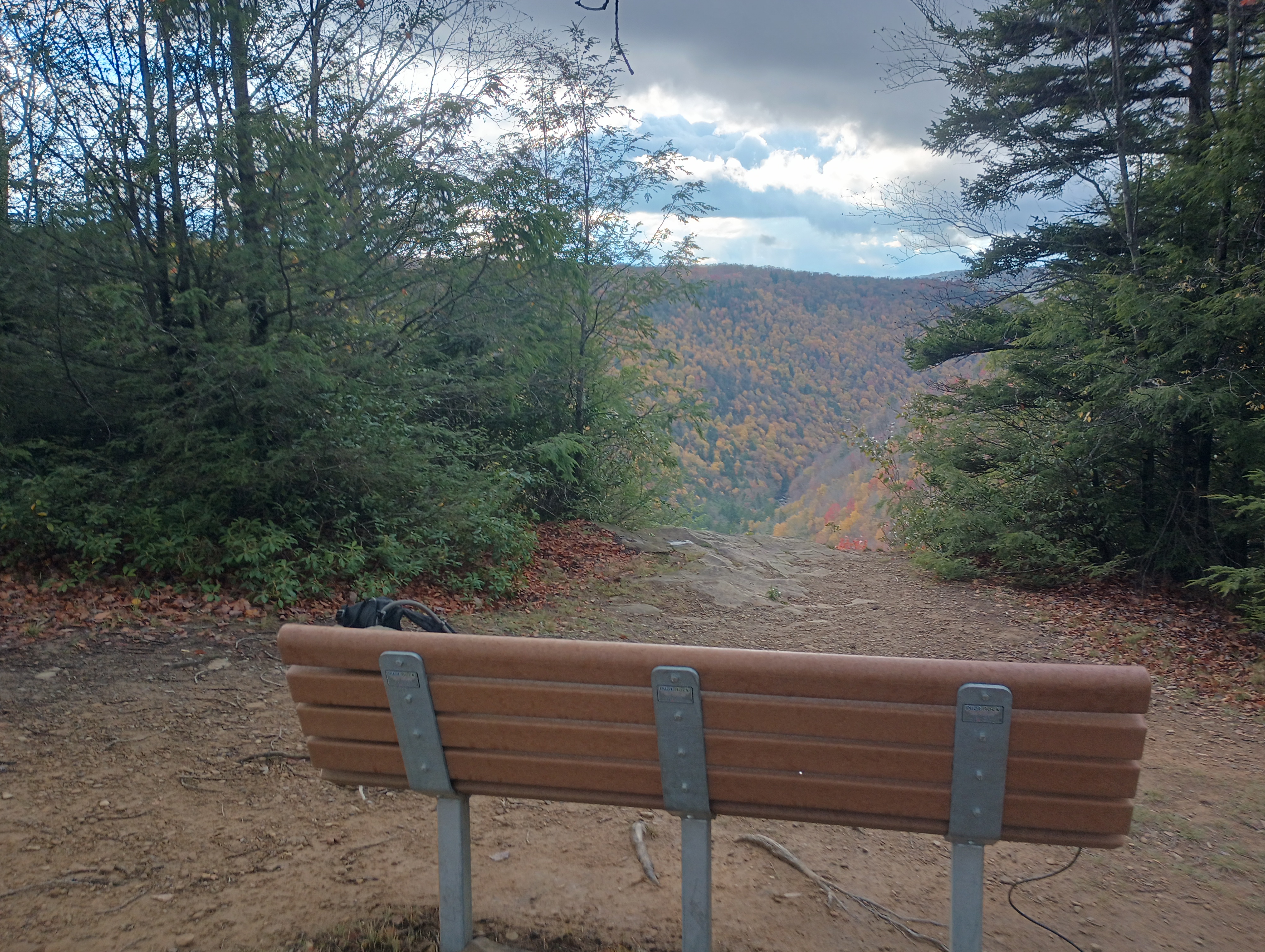
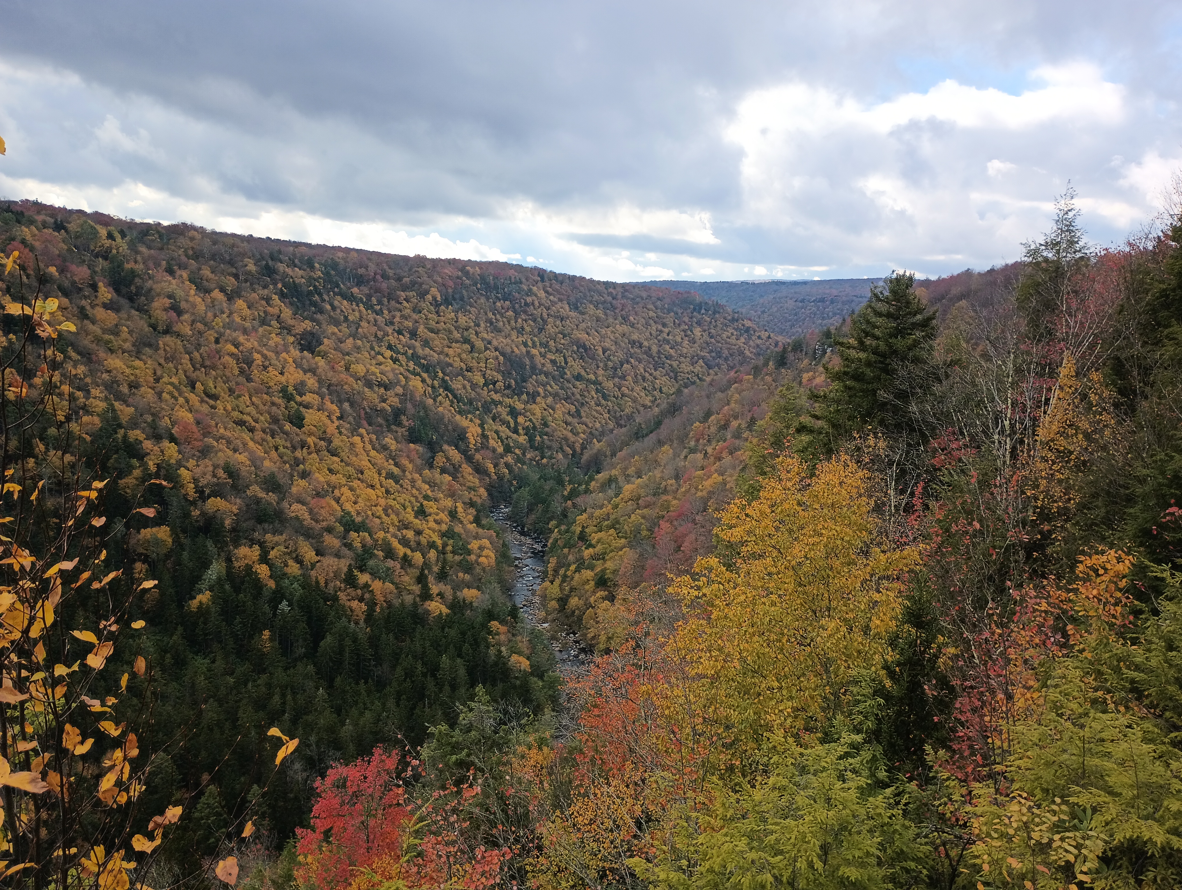
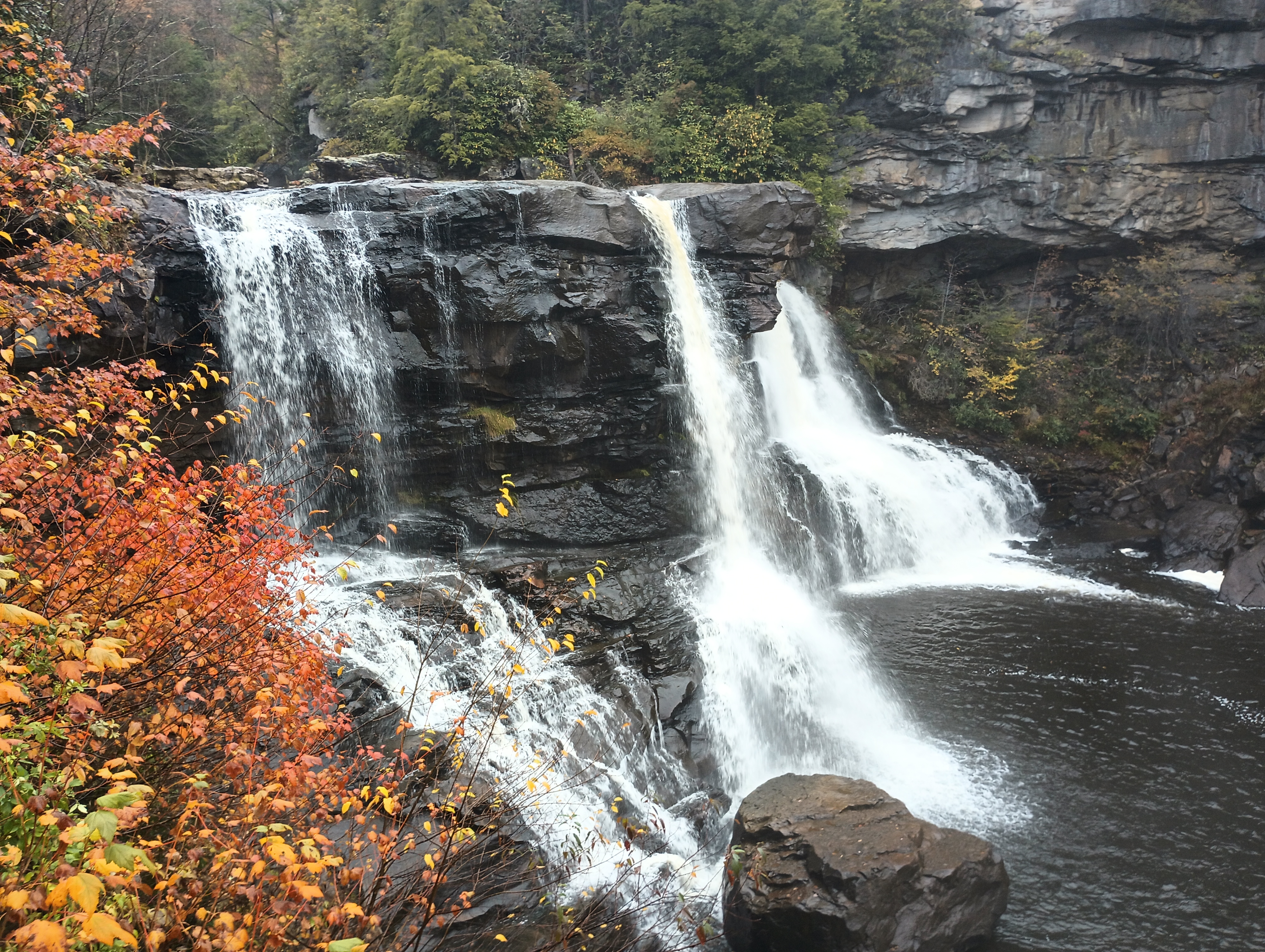
Backbone Mountain is just 10 miles from Blackwater Falls State Park, so I added a POTA activation later that afternoon after the afternoon rain had cleared. I found a bench at the Pendleton Point Overlook to operate from and took in the glorious sights!
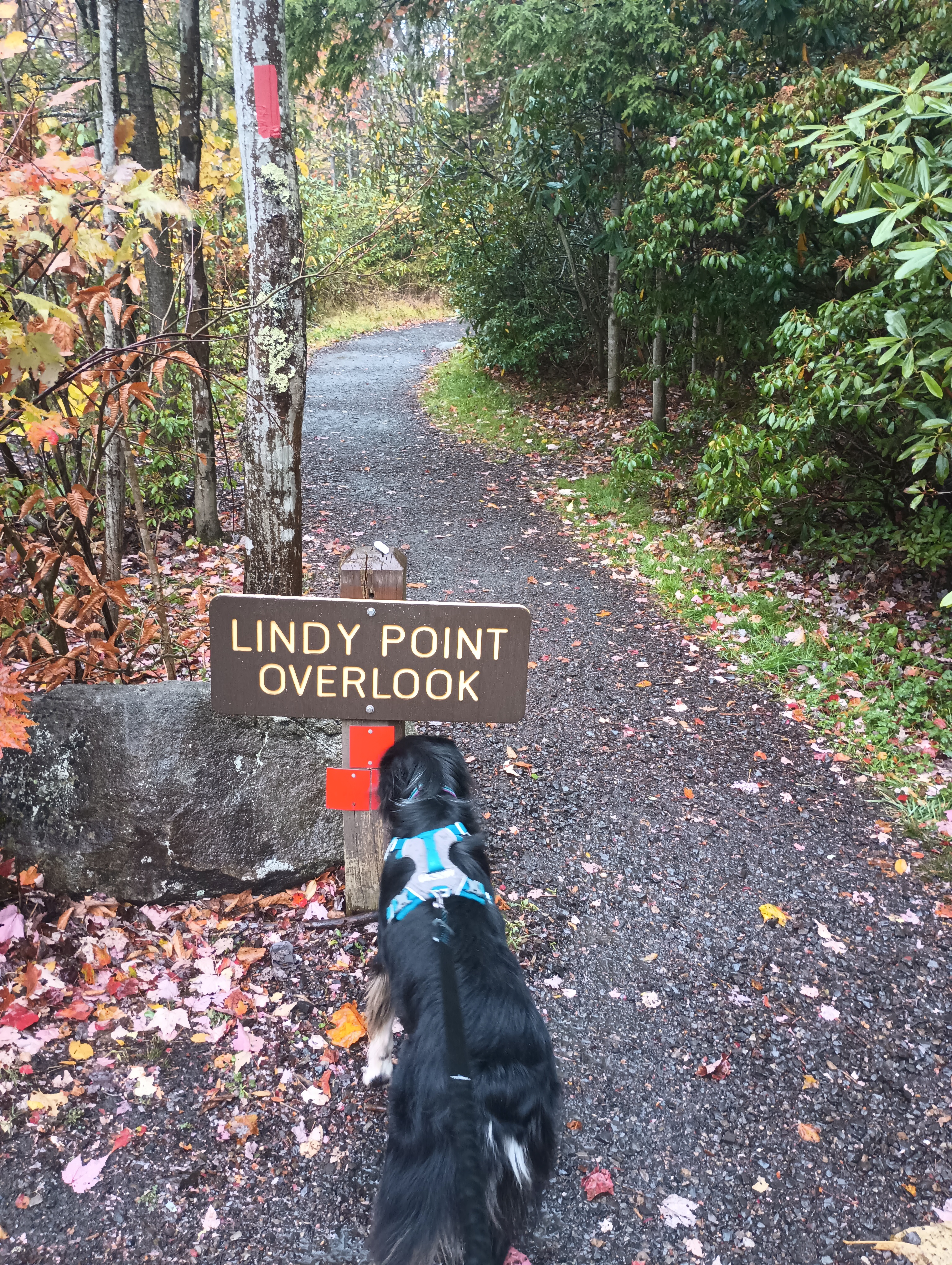
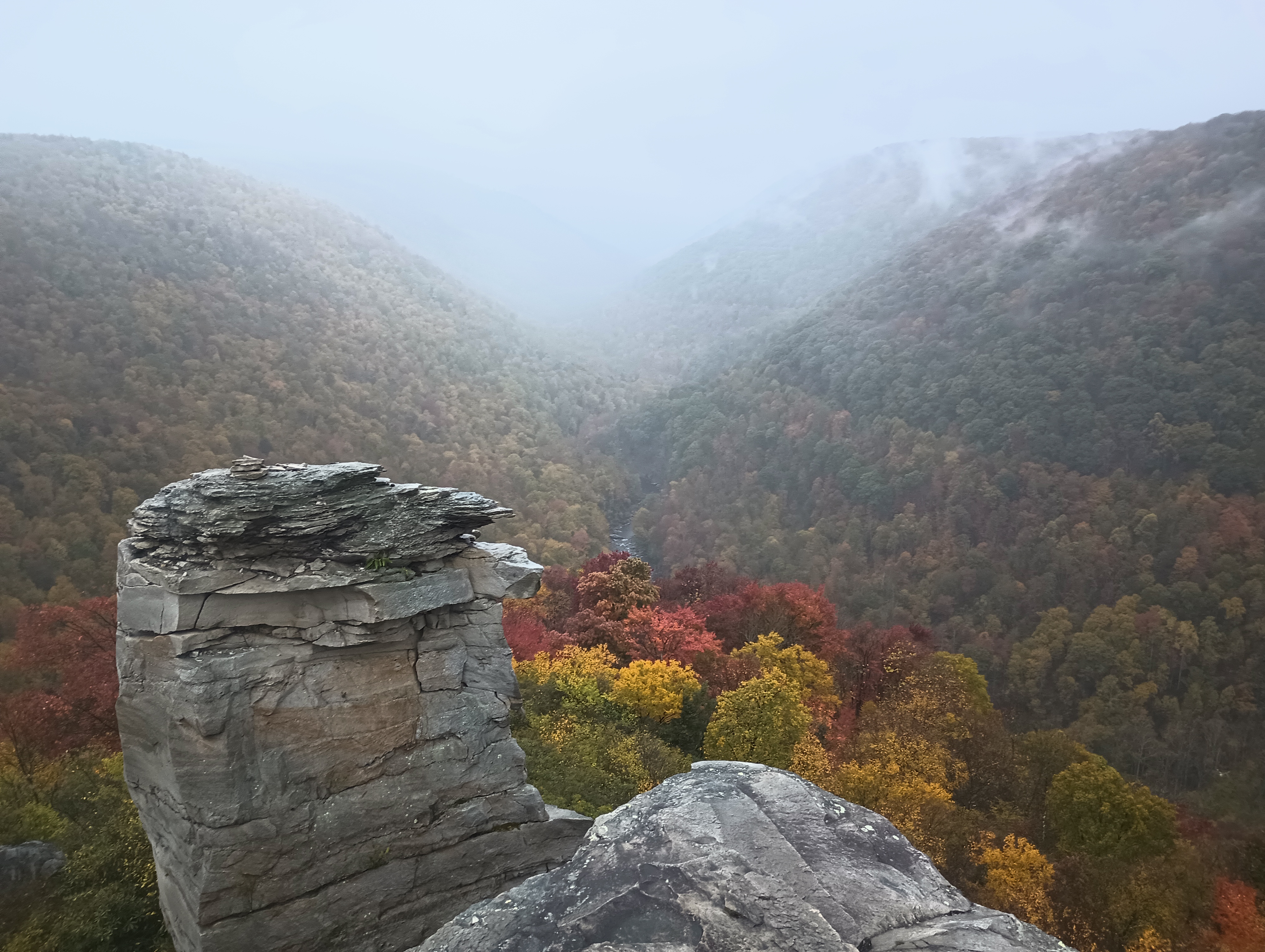
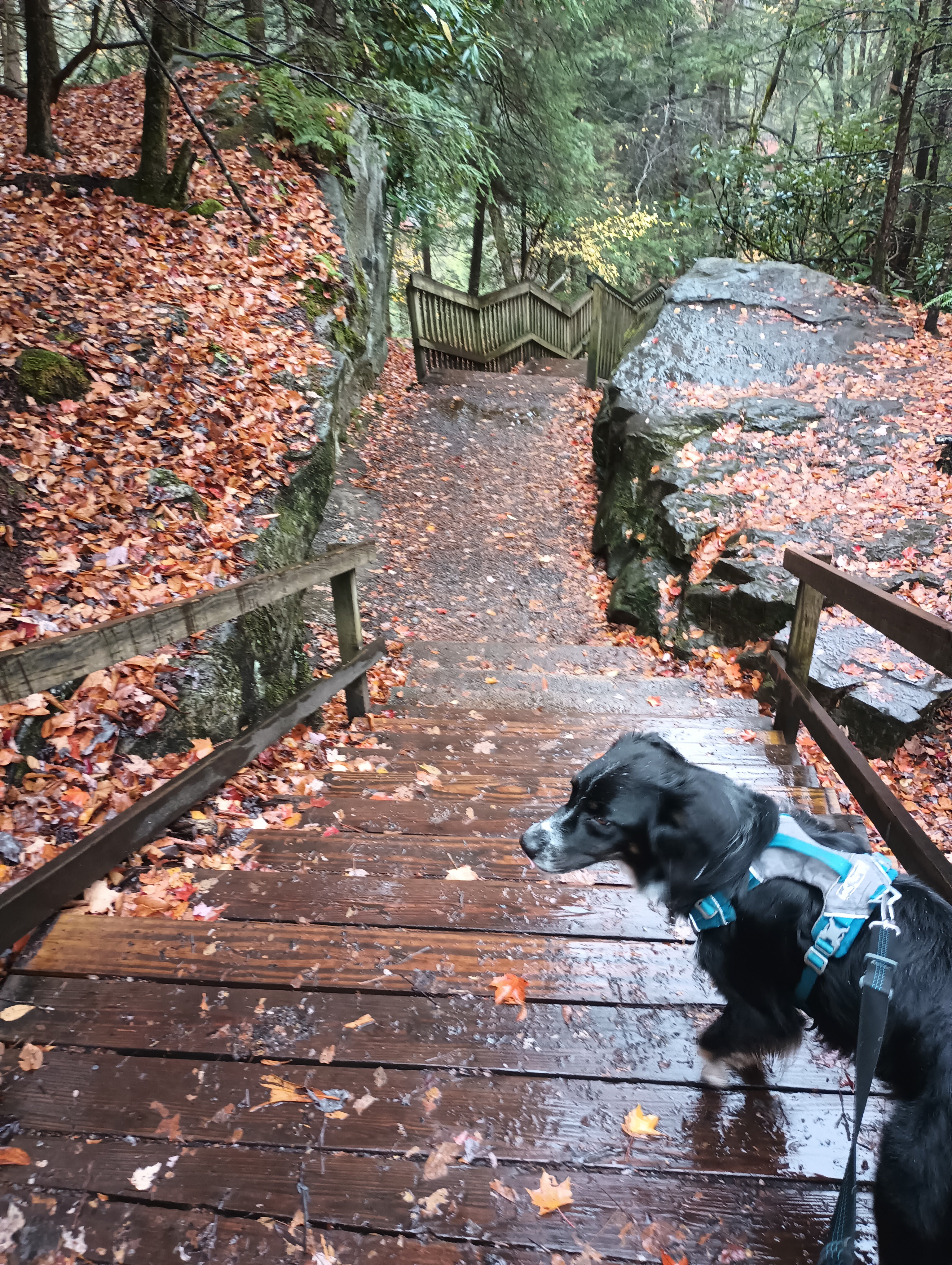
Other good spots in the park were Lindy Point Overlook and Gentle Trail to Blackwater Falls. Rhododendrons are everywhere, and it must be really amazing to be there when they’re blooming.


 Tom Zajdel