Two Hills in Great Seal State Park

On a drive to Cincinnati for a family visit in July, I picked out a detour around Chillicothe to take on a couple SOTA summits: W8O/SE-009 Bunker Hill and W8O/SE-005 Rocky Knob. I had just worked Chris N8PEM on his activation of Bunker Hill a few days before this trip, and his reports for the area were invaluable for planning.

Bunker Hill is within the Great Seal (of Ohio) State Park and Rocky Knob is just outside its bounds. I thought this was an odd name for a park, but it turns out that Chillicothe is the city depicted in the Great Seal of Ohio, as it was the state’s first capital city.

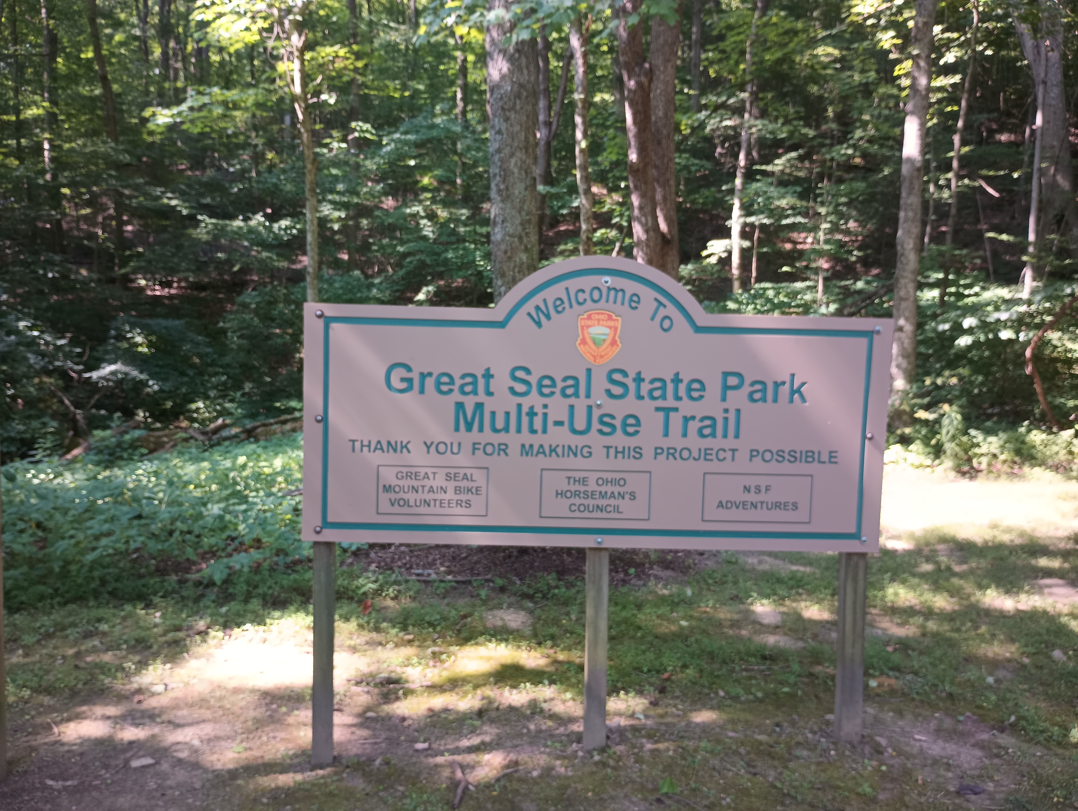
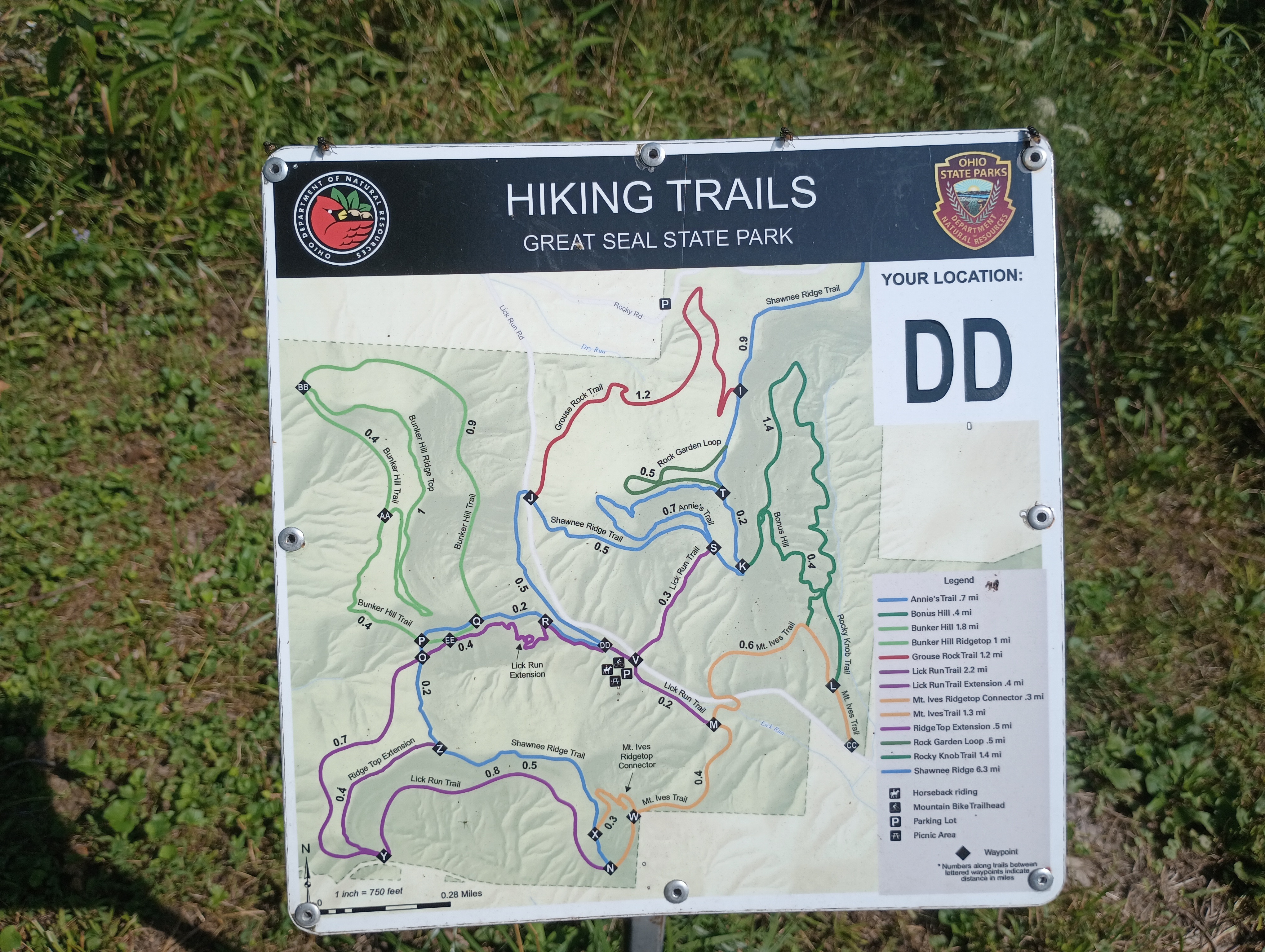
I parked at the mountain biking trailhead off of Lick Run Road. The Mt. Ives trail starts from this point, which fans out into a network of trails throughout the park. First up was Bunker Hill.
W8O/SE-009 Bunker Hill

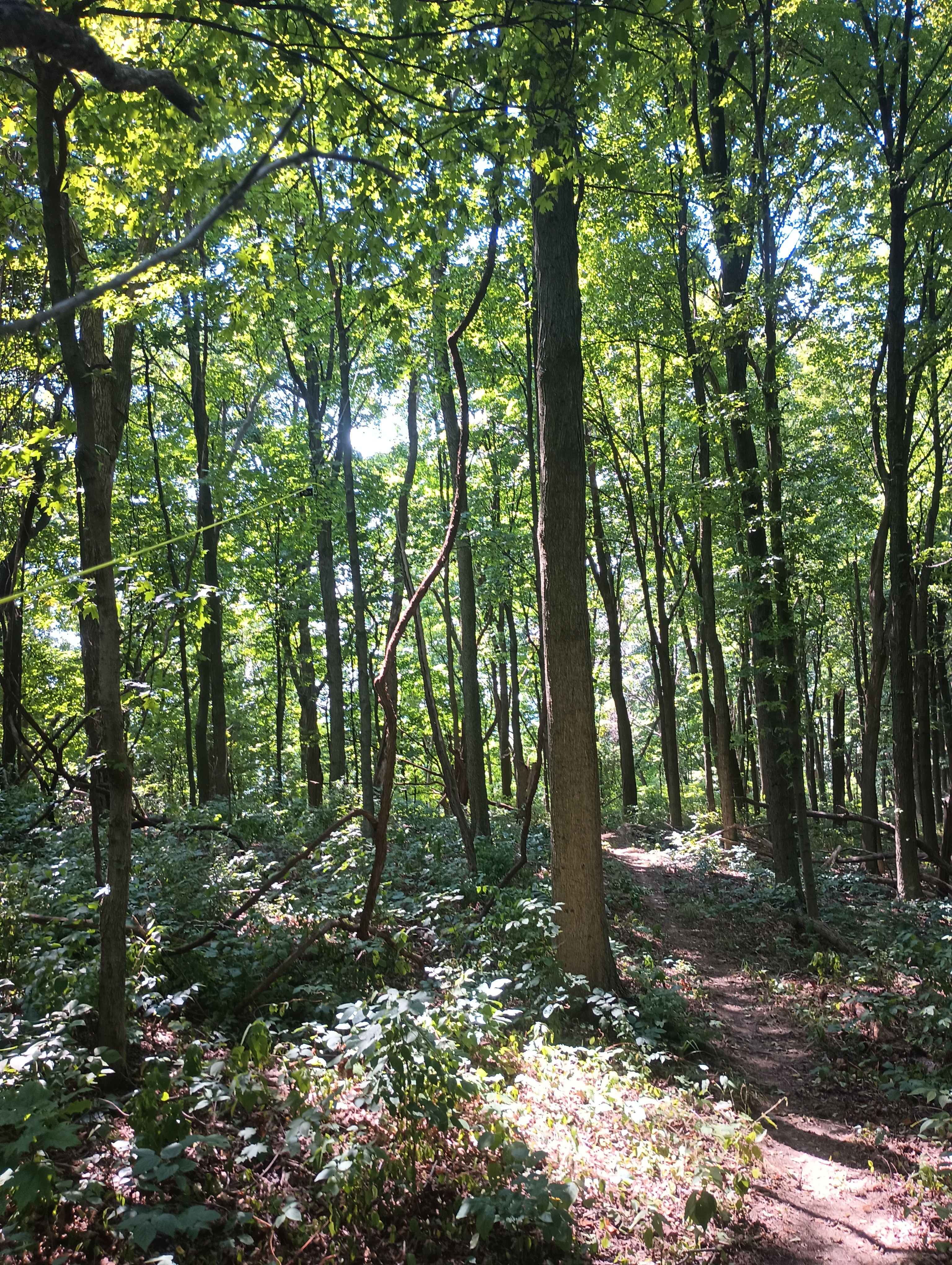
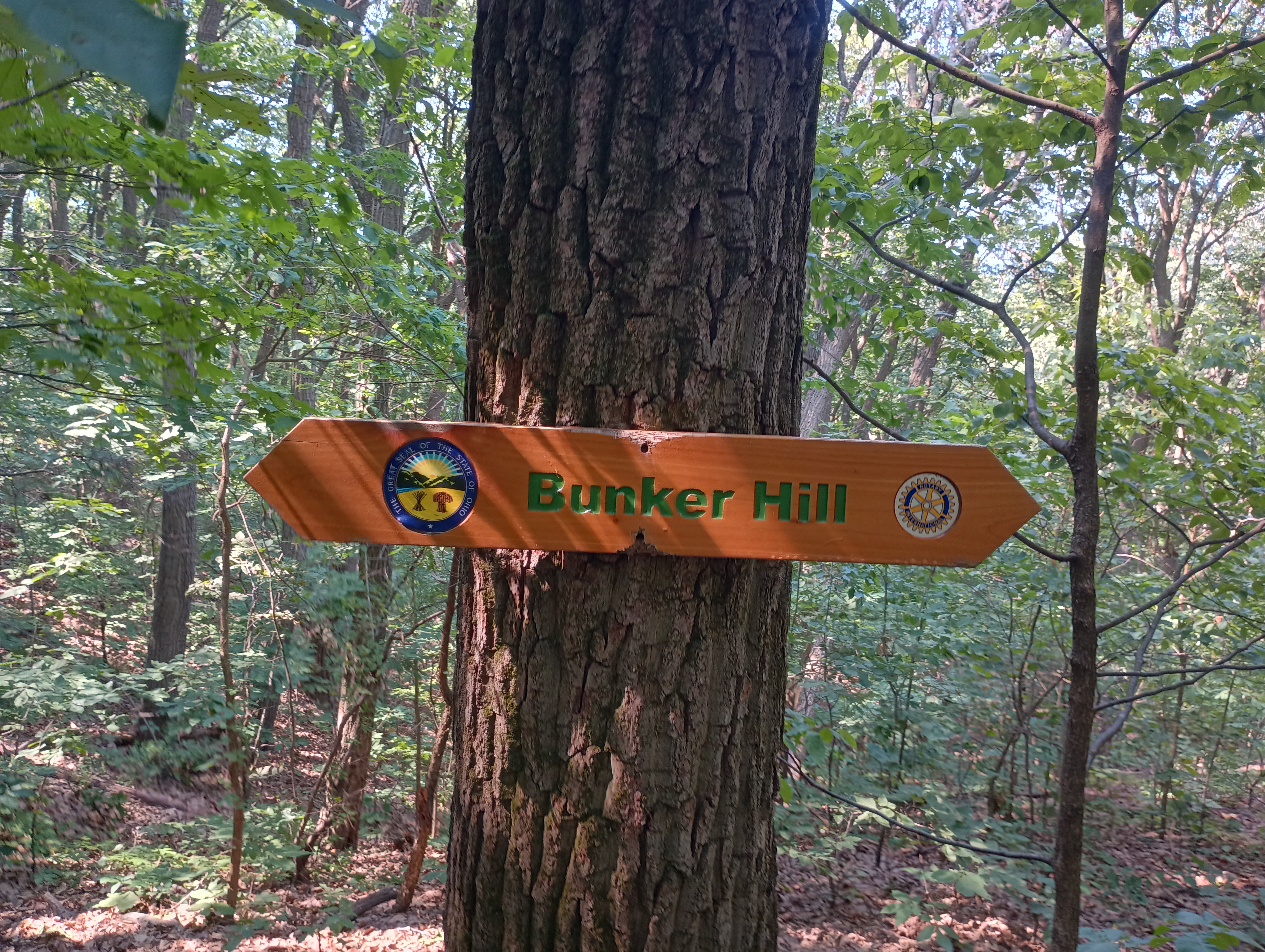
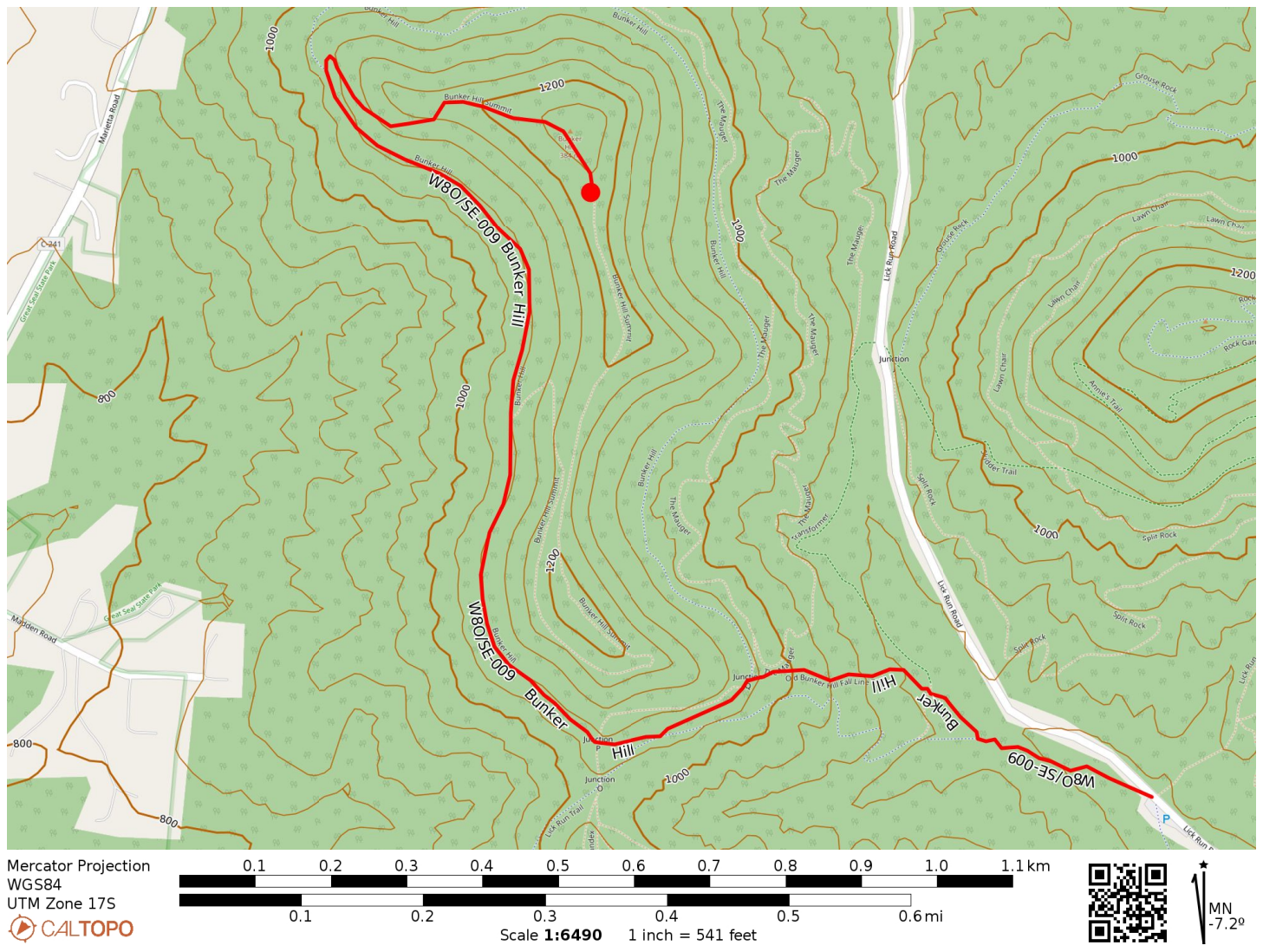
I followed the Mt. Ives Trail, then the Shawnee Ridge Trail, to the Bunker Hill Trail which snakes its way up the hill. The trails and junctions are well-marked. I did pass by a few mountain bikers on the way up. All told, it was 1.5 miles one way with nearly 500 feet of elevation gain. The majority of the hike was flat as the Bunker Hill trail mostly follows one contour around the hill until the last push to the top.
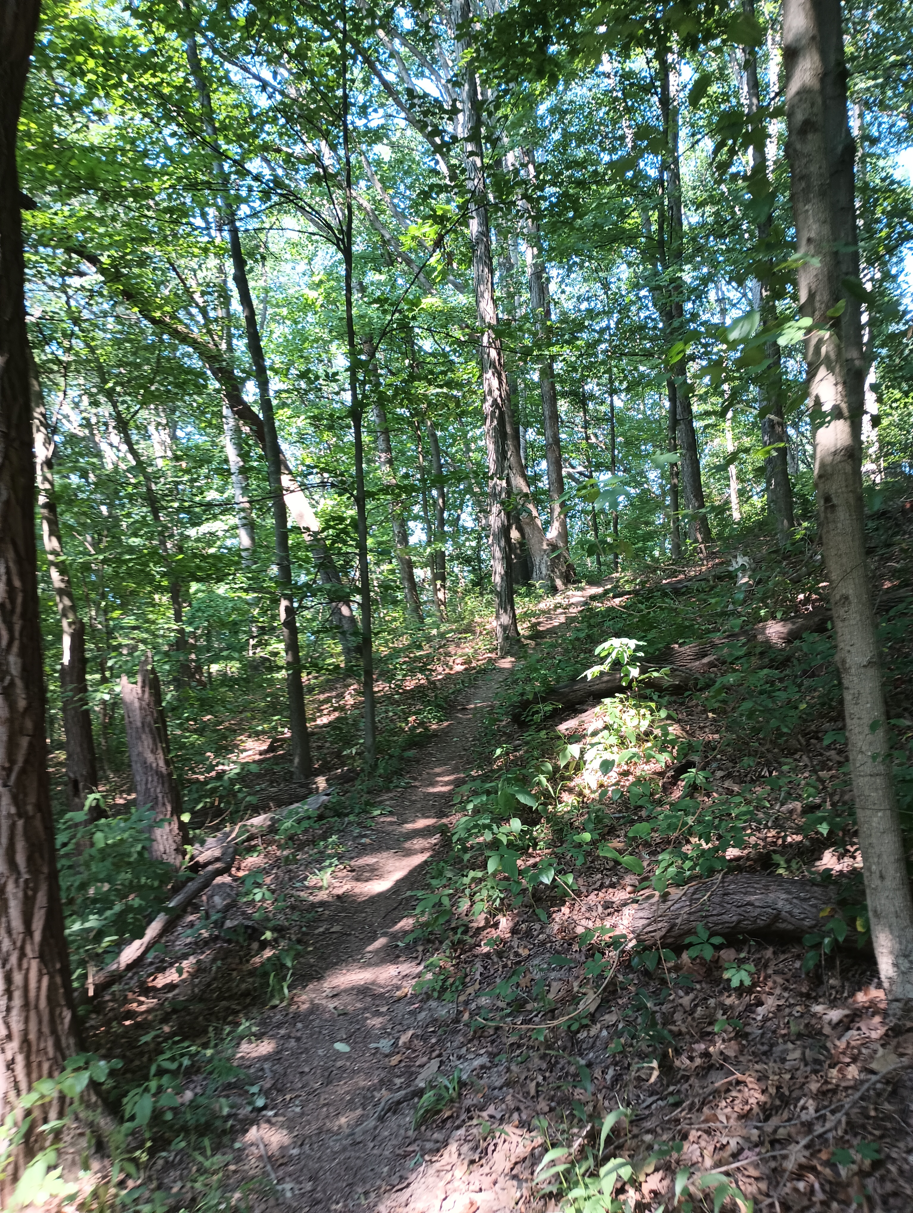
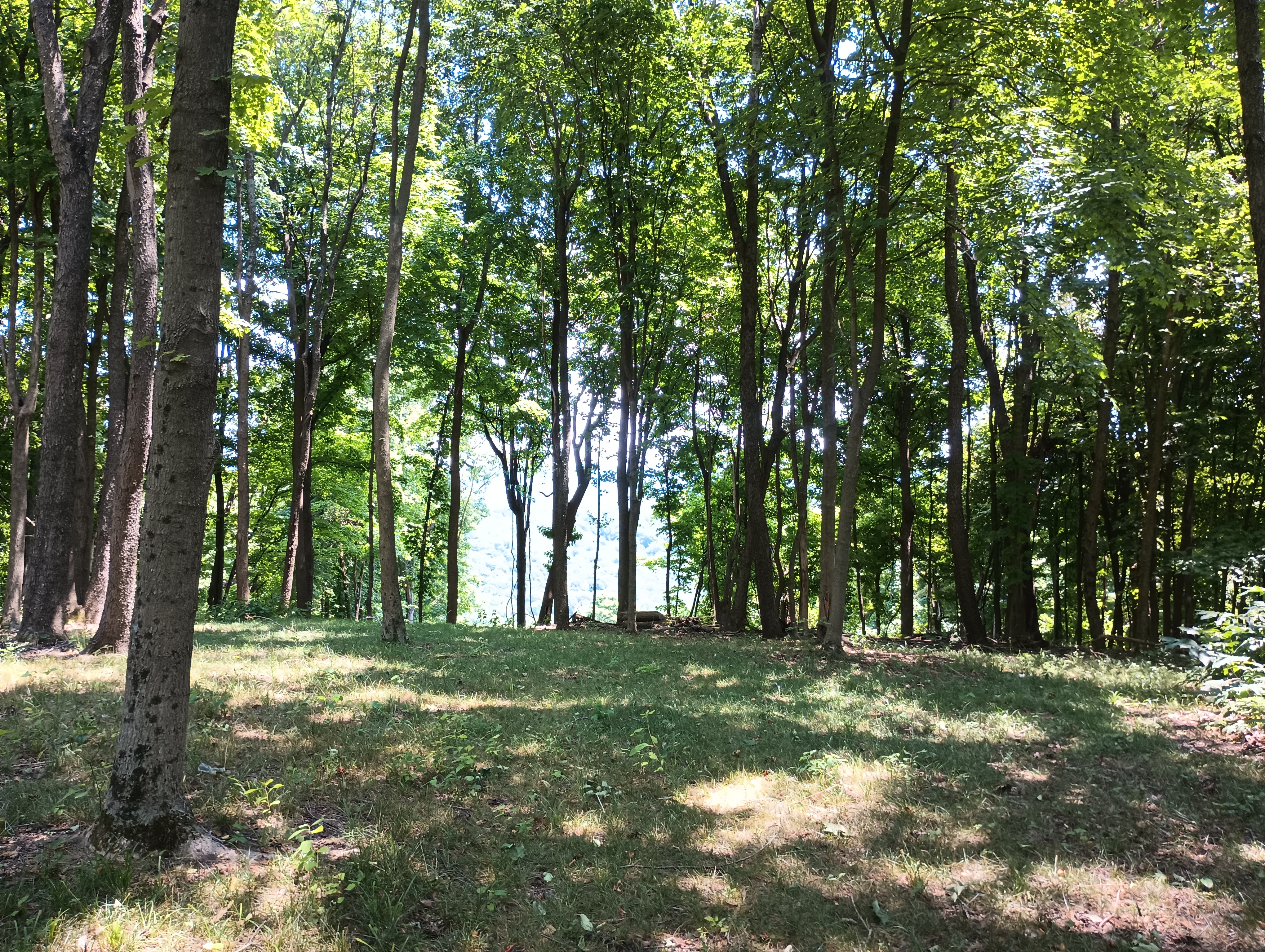
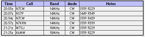
The activation zone at the top is large, so I hiked a bit further past the true summit where there was more room to set up. I used my trusty throw line to get the end fed up. Since this was a POTA site, I quickly got the required contacts, putting 17 in the log in about 25 minutes. Since the next hike was a bushwhack, I wanted to give myself plenty of time, so I decided that was good enough.
  • Trailhead: 39.36710, -82.93829 : Mountain Bike Trailhead on Lick Run Rd
  • Maps: [AA3TZ SOTA] [Great Seal State Park Map]
  • Route: 3.0 mi out-and-back, Bunker Hill Trail
  • POTA: Great Seal State Park (US-1954)

W8O/SE-005 Rocky Knob

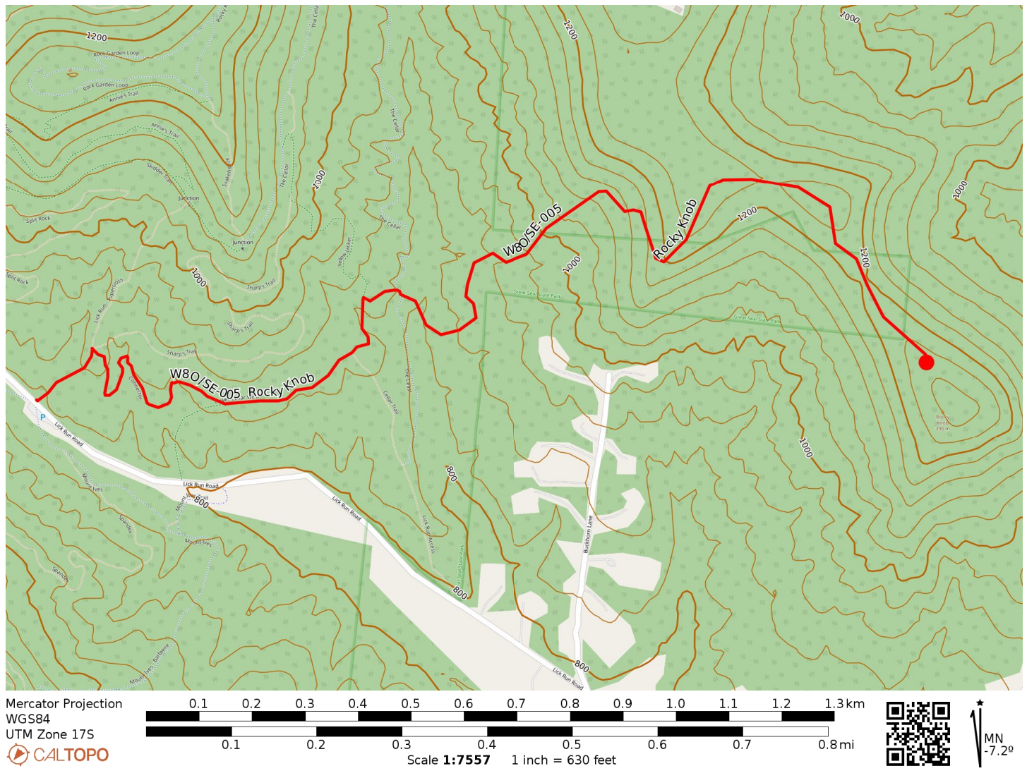
Back at the car, it was time for hike number two. Rocky Knob, as of this writing (Feb 2025 – this report has been on the back burner for a while 😬) has only been activated 9 times to Bunker Hill’s 41. This is because Rocky Knob is a bushwhack. While a tract of Great Seal State Park connects nearly the entire way to the hilltop, the least strenuous way does pass momentarily across a well-trimmed lawn (private property) that is not within the park.

I started on the Lick Run Trail and after a tenth of a mile, followed a Connector trail to Lower Cellar Trail, working my way to the east end of the park. Once I had crossed the Cellar Trail proper, it was time to start the bushwhack.
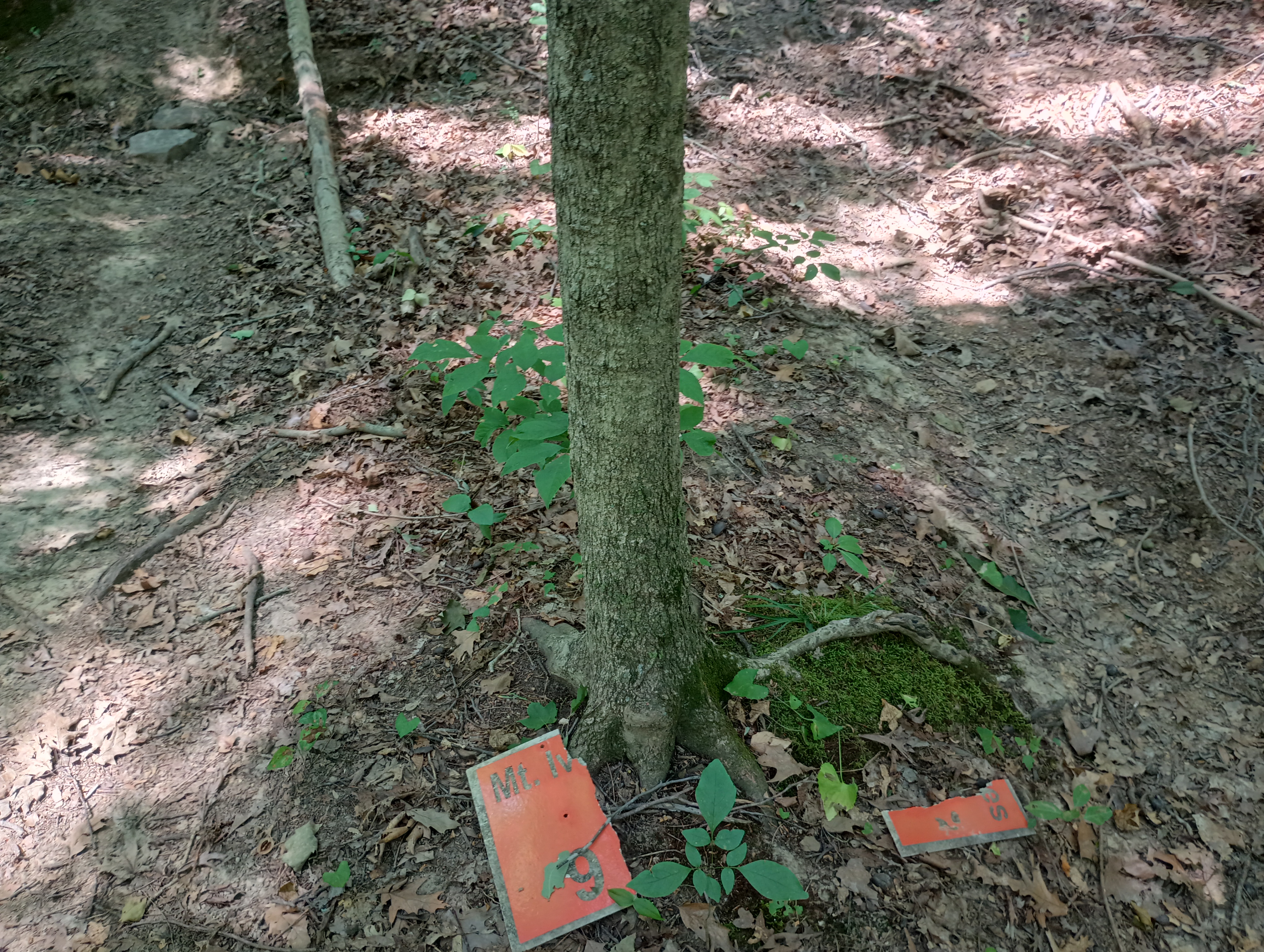
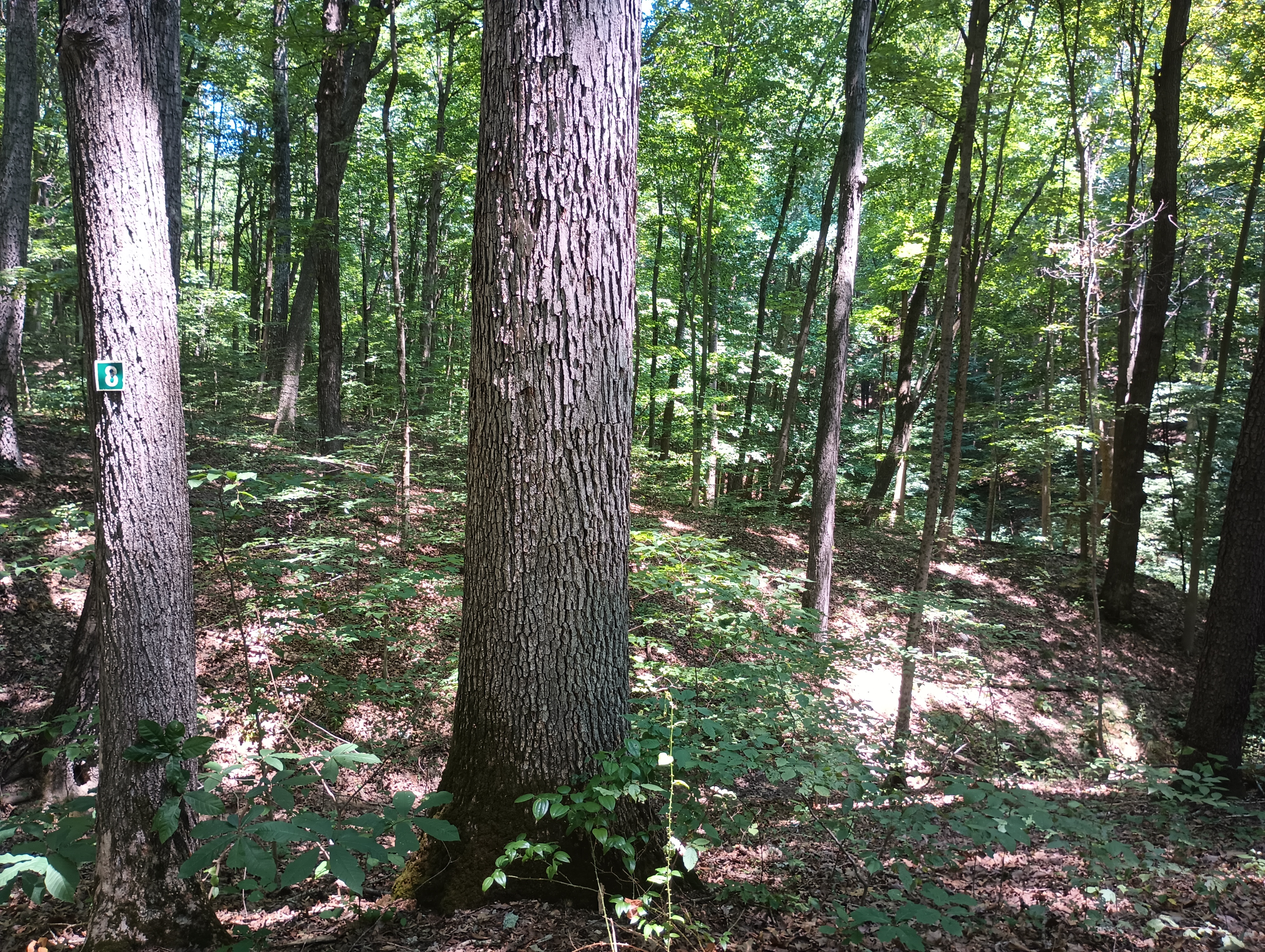
Lick Run Trail
Around here is where I went off-trail.

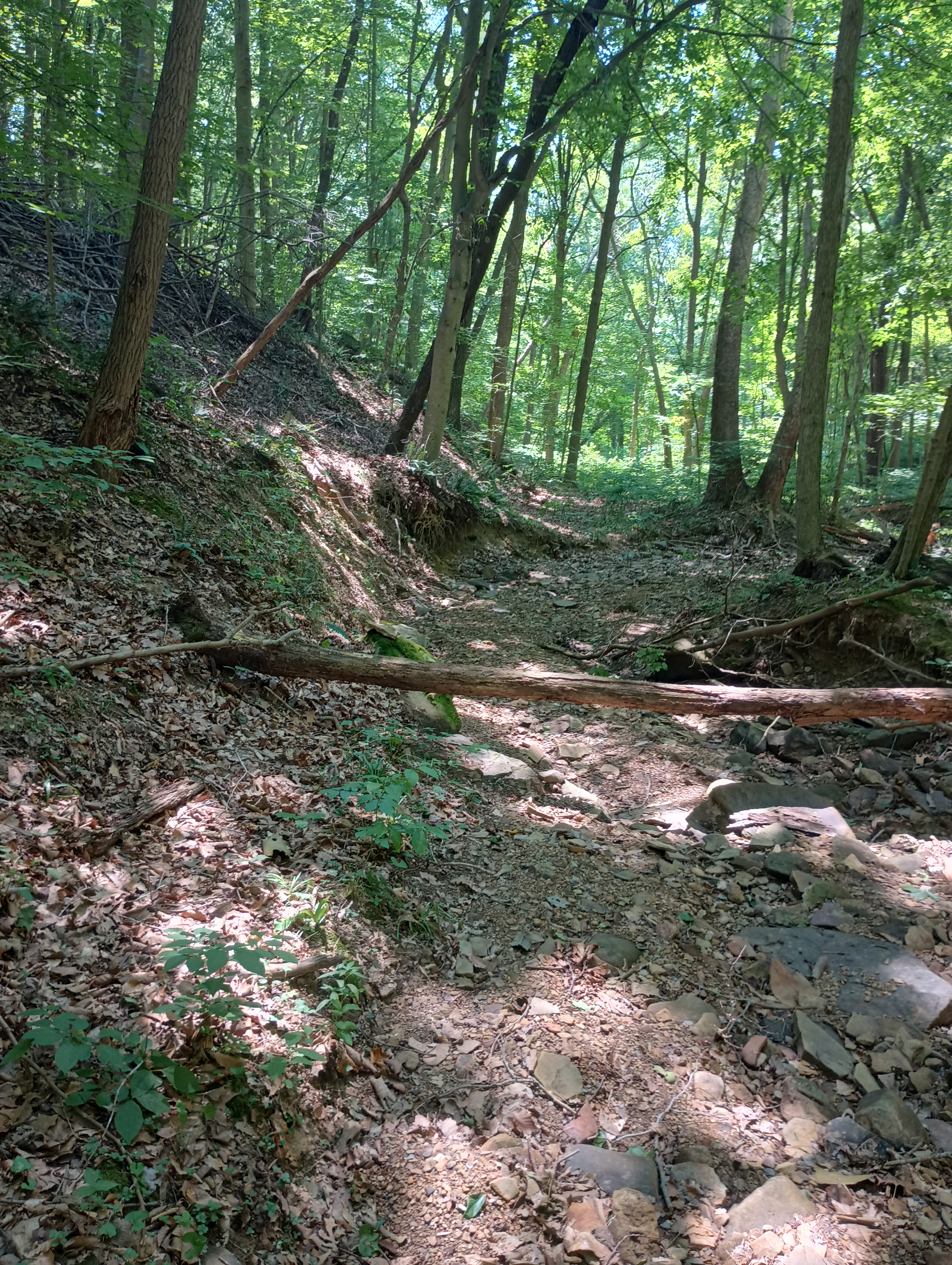
I tried to follow this dried creek up the hill. It was somewhat rough going and the ground was softer. I kept consulting my GPS to try to stay in the park boundaries, which includes a narrow (tenth of a mile wide) panhandle to the east. The clearing just north of the park is an open, flat field that seems to be part of somebody’s property, so I did not linger.
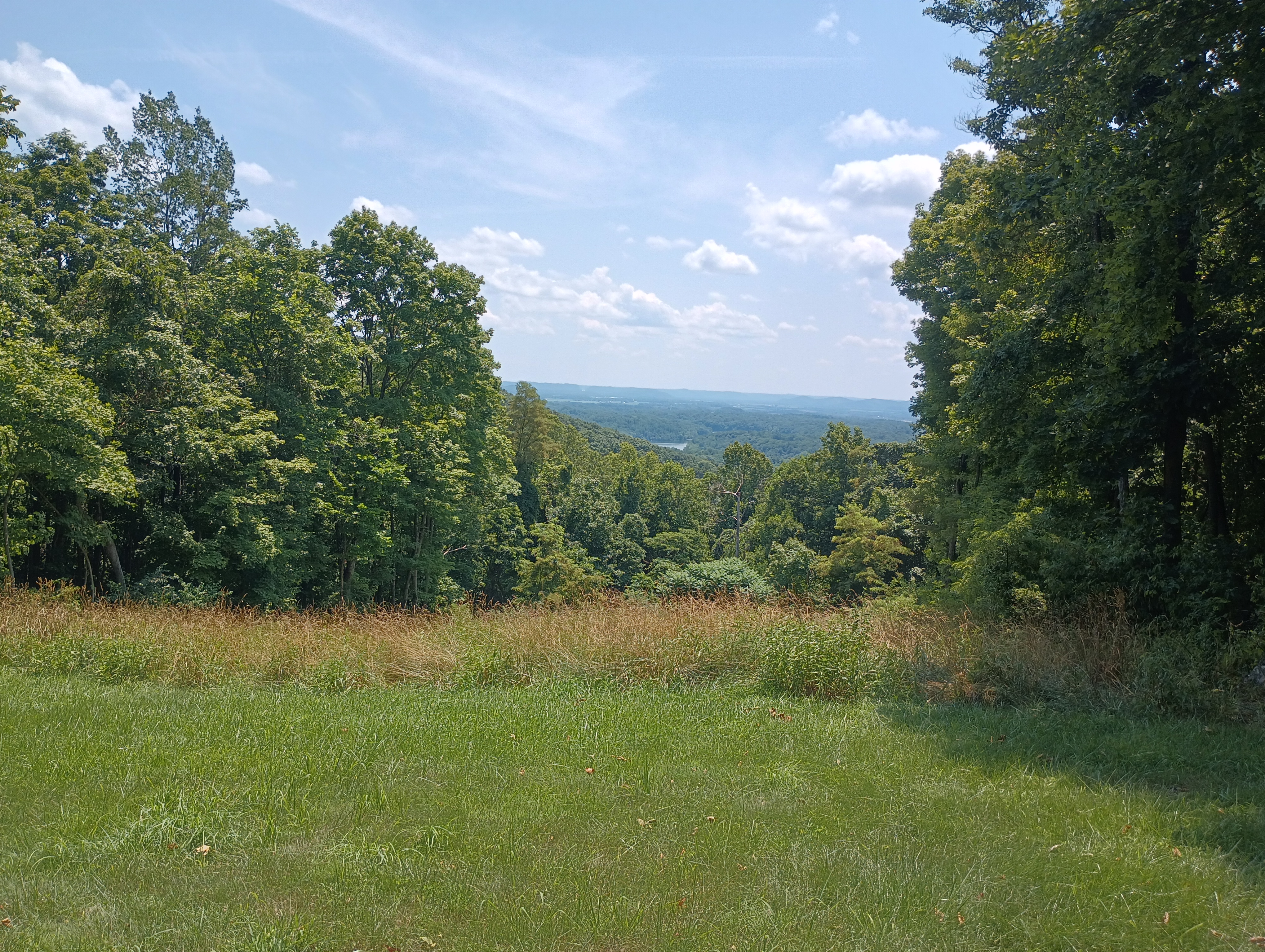
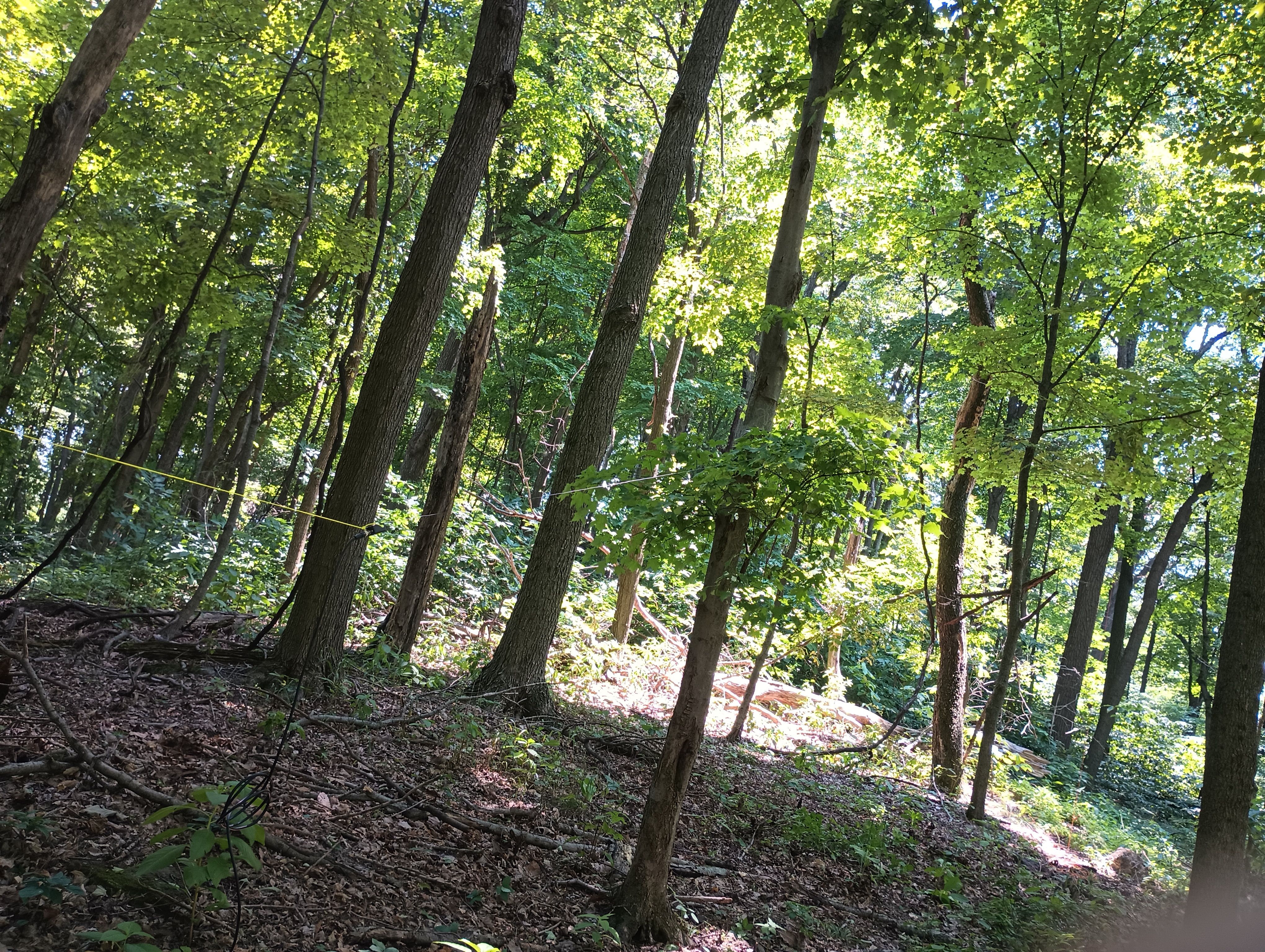
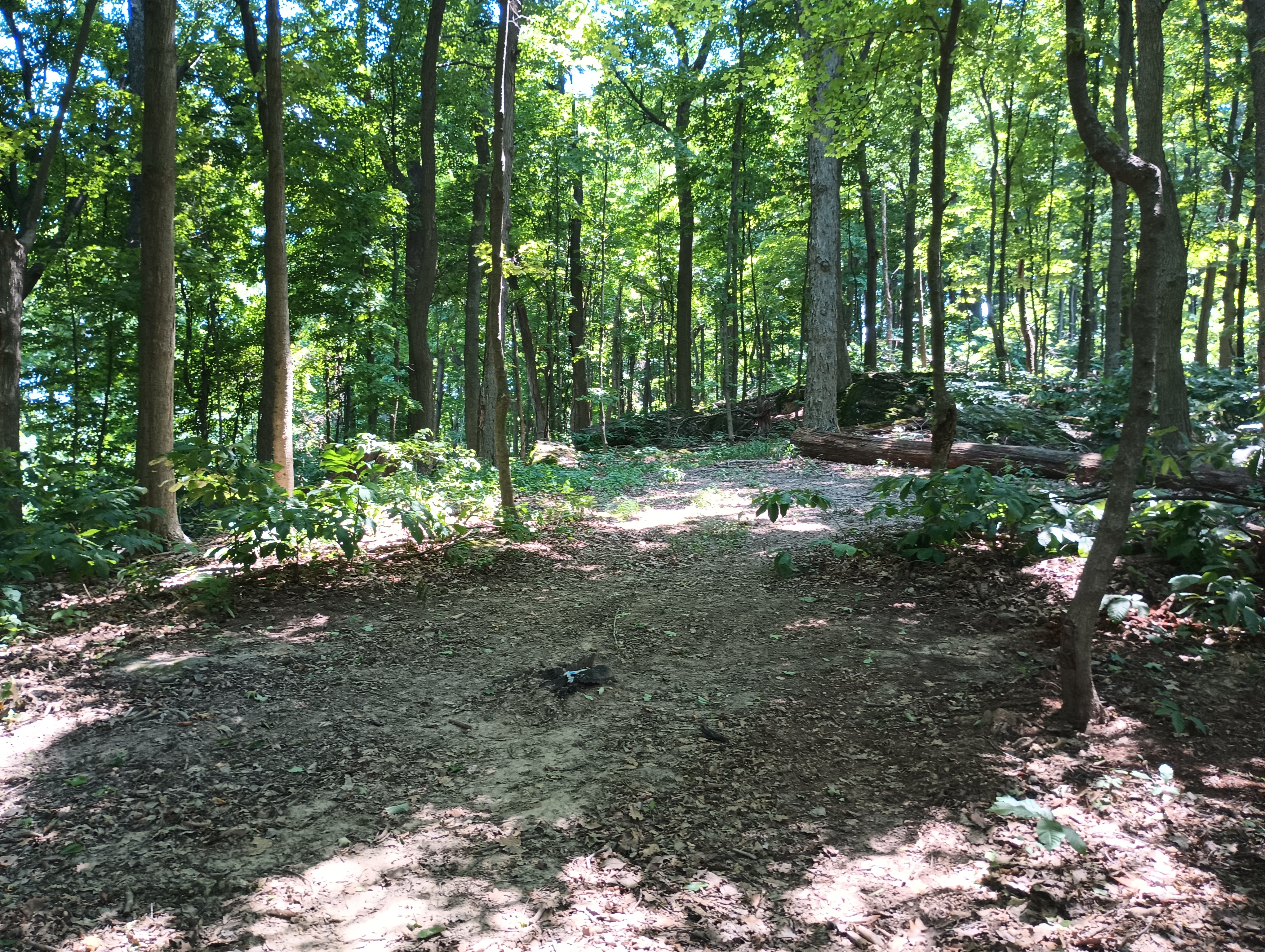
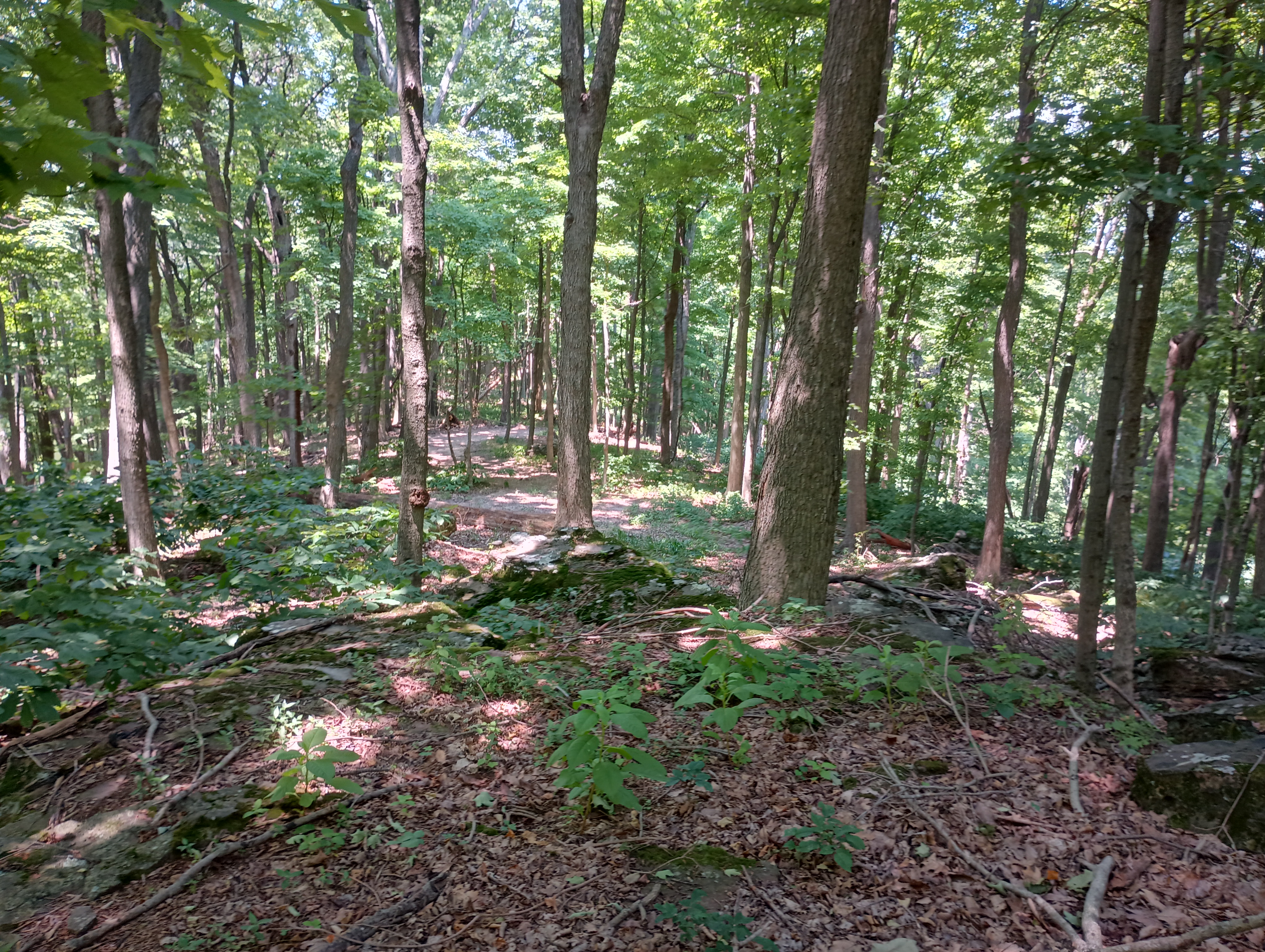
Following the ridge got me back into the park for the final approach to Rocky Knob. There is a small wooded area surrounding some rocky protrusions at the top. There were signs of a recent campfire, with a small rock pit and firewood around. There were many trees to choose from to get a wire up into and a handful of rocks to sit on.
Even though the edge of the park boundary might overlap with the activation zone, I decided to operate closer to the peak south of the park boundary to be safe. I did a bit of S2S chasing here, logging a few prolific SOTA and high-profile activators. George KX0R on Radial Mountain (W0C/PR-091), Al N1SMB on Lily Mountain (W0C/FR-050), and Ara N6ARA on Kratka Ridge (W6/CT-014). 14 QSOs when I wrapped up. It was an uneventful hike back, but I did find a tick in my pants when I made it to Cincinnati a couple hours later. Thankfully, it hadn’t bitten.
  • Trailhead: 39.36710, -82.93829 : Mountain Bike Trailhead on Lick Run Rd
  • Maps: [AA3TZ SOTA] [Great Seal State Park Map]
  • Route: 3.4 mi out-and-back, about half on trails, half bushwhack
  • POTA: Very close to Great Seal State Park (US-1954), activation zone might overlap a small portion of the park.

KH6/MA-001 – Red Hill (Haleakala)

In July, I had the fortune to visit Hawaii, starting at Maui and moving on to Honolulu, Oahu for the IEEE Engineering in Medicine and Biology Conference, where I was presenting a paper. While on Maui, I visited and activated the great shield volcano Haleakala, which comprises over three-quarters of the entire island. It’s an enjoyable, winding ride up to the visitor center and eventually the Red Hill summit at 10,023 feet, upon which there is a small observation room. From here are beautiful views of the Hawaiian islands and the massive, sloping sides of the great volcano. The last eruption of the volcano was approximately during the 17th century, when a small eruption created the lava fields surrounding the La Perouse Bay on the southwest part of the island, which we hiked along later in the week to visit the Hanomanioa Light signal along the coast.

Reports were coming back around S2-S3, which makes sense for transmitting QRP far from the West Coast, and I was there for about 90 minutes for the entire activation, hanging out near the observation building on Red Hill. I had 4 QSOs on 20m, then moved to 17m for the last two contacts.

Thanks to all the chasers, as always!

haleakala_activation

As a bonus, here are some pictures of the lava fields around the La Perouse Bay:

W6/NC-268 Rocky Ridge

On April 9, 2018, I went to Las Trampas Regional Wilderness for a quick and simple activation, using just an HT and whip antenna. I started at Bollinger Canyon Staging Trail, and climbed the ~1000 feet to the summit on a paved trail for most of the way.

It’s the low-key sort of activation that’s really only possible in the Bay Area with its large and supportive ham community, and I’m going to miss that when I leave.

Thanks to the chasers: K6FRC, KM6MRU, N6YJZ, K6WIS.

W6/NC-434 Bodega Hill

Stef and I were returning from a day trip to Santa Rosa (visiting Russian River Brewing Co. as we’ve done on other trips to Sonoma: W6/NC-379 Taylor Mountain) and decided to pass by the scenic Bodega Bay. There is a conveniently located drive-by SOTA along Bay Hill Road in the hills just east of Bodega Bay. The actual peak is just past a fence on somebody’s property, so we parked on the side of the road a few hundred feet away and set up near a pull-of in front of the fence. Ten minutes after setting up, I had the four requisite QSOs on 20m CW. Since I just had my end-fed wire in a bush a few feet off the ground, I didn’t get any other bites before we decided to pack up.

The road was narrow enough that two cars could barely pass each other, and Google Maps seemed to be routing folks along this road to avoid heavy traffic in downtown Bodega thanks to Labor Day weekend. Many drivers passed by with somewhat bewildered faces before focusing again on the road. I guess amateur radio isn’t a normal sight on a side road like this, especially on such a hot day.


Thanks to the chasers: W7RV, W7KKM, W0MNA, and K6MW!

W6/NC-410 San Pedro Mountain

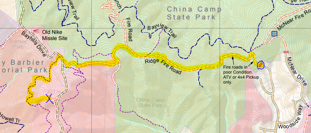
Another sunny day in The Bay, another SOTA activation. This time we went out to Marin County for San Pedro Mountain (1099′ and 1 SOTA point), northeast of San Rafael. We drove out to the trailhead at the end of Knight Drive on the south central border of China Camp State Park as activators before us have done (K6JEL’s write up).

route1.png
The start is marked with a blue circle and the summit is marked with a blue X. The route that we took to the summit is highlighted in yellow. Map courtesy of Larkspur, CA City Hall’s webpage.

We started at noon, so the July sun was a beating down hard on us. We followed the Ridge Fire Trail, which for the first half mile is an exposed climb from an elevation of 200 feet to 600 feet that would have been much easier earlier in the day. After that, the trail is more even with a few more gradual climbs and one dip. Near the end of the trail we came to Bay Hills Drive and Henry Barbier Memorial Park (which are both unsigned). We crossed the road to another trail that starts about 100 feet to the right. This trail just took us along a ridge around the mountain, though it was shaded by tree cover and a welcome respite. We ended up taking a use-trail up to the summit and returned via Bay Hills drive on the way back, covering about 4 miles overall. We recommend just turning left at Bay Hills Dr to get to the summit.

At the flat summit, trees block most of the nicest views, we got our sightseeing done on the way up the trail. I got a couple of quick 2m contacts with the handheld and a whip (KI6UOC and N6SPP), then moved to a low end-fed for 20m CW for the rest (W6TDX, VE7HI, K3TCU, K6HPX, N9KW, KT5X, W5YA). Thanks to all the chasers!

W6/NC-432 Chabot 2 Benchmark

Today we went to Chabot Regional park to pick up an easy 1-pointer in the East Bay: Chabot 2 Benchmark. We parked in the Fairmont Ridge Staging Area, where parking was free. It was late afternoon and above 80 degrees Fahrenheit (27 Celsius or so) but mercifully the hike was only about a mile each way, and half of it was shaded by a row of eucalyptus trees. Near the top is a fence that blocks off a historic Nike missile site. This gate is just within the activation zone, but I followed a use trail just left of the fence to get a bit closer to the summit, although it seems the proper way to do this would be to peel to the right of the eucalyptus trees on the east side of the antennas and missile site.

I brought a log-periodic with me for this all-VHF activation, but I probably didn’t need it since most of my contacts were located about five miles away in Hayward. At this time of the afternoon people driving home from the day’s activities, so a lot of folks caught me on the road.

Thanks to all the chasers: WU1Q, KG6OMB, N6ACK, AI6F, KK6WBY!

Henry-1 High Altitude Balloon Launch

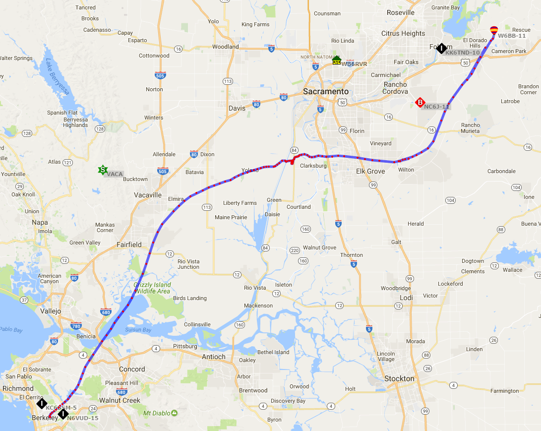
The East Bay amateur radio club worked with the UC Berkeley ham radio club on a high altitude balloon launch. The balloon went up on March 18, starting on Memorial Glade on the UC Berkeley campus. The payload included a bio-aerosol collection module, a Geiger counter, and a cross-band repeater. I was lucky enough to grab a seat in one of the chase cars despite not having worked on any of the modules that went up with the balloon.

I managed a QSO with W7IV in San Luis Obispo county when the balloon had reached an altitude 30000 feet. After about two hours of flight time, the balloon reached its maximum altitude of 107553 feet just south of Sacramento where it popped and the parachute deployed. Then, the winds pushed the payload to some woods to the east of Folsom Lake where the group retrieved it (with the permission of the property owners).

w6bb_balloon_path.PNG

Here’s a video of the entire flight, assembled by KJ6DZB:

W6/CC-035 Mount Konocti

We were camping at Clear Lake State park for Memorial Day weekend to check out the lake and the surrounding region. Mount Konocti is visible from nearly any point in the region around the lake and has special significance for the indigenous Pomo people. The trailhead is in the Mount Knocti County Park, which opened this peak to the public in 2011.

The hike up to Wright Peak was three miles each way and was exposed to the sun for most of the way. The first 600 yards of the trail is narrow and goes through some privately owned orchards. We were glad that we started at 8am since the trail is on the west side of the mountain and was therefore shaded most of the way up in the morning. We saw a rattlesnake slide into the grass just off the trail near the summit and there were many lizards darting across the trail so watch your step!

We were the first ones on Wright Peak that morning and I had an easy time with the activation on 2m thanks to the active (and very helpful) ham community in Lake County. I even managed to get a S2S with KK6YYD on Wallace Peak near Lake Tahoe. When it came time to set up the HF antenna, I got the fiberglass pole up and guyed before I realized that I forgot to bring coax with me this time! Whoops… one still learns even after doing 25+ of these trips…

Thanks to all the chasers for this all-VHF activation: KK6TDG, KK6YYD, KK6TNH, K6ZYU, and N1PPP!

W7W/LC-146 – Wind Mountain

On March 29, we were driving along the Columbia River Gorge to sight-see. After a wonderful hike to the top of Multnomah Falls and lunch in the town of Hood River, we crossed the river over to Washington state to climb Wind Mountain with the radio. We had a false start up a steep use-trail that quickly turned into an overgrown mess but we did eventually find the proper trail, which was about 2.5 miles round-trip with just about 1400 feet of climb.

Once we reached the top, Wind Mountain had decided to live up to its name with the summit exposing us to sharp winds coming through the gorge. I quickly connected with KE7IN on 2m who noted that he could really hear the wind. Then I threw up a wire and got to work on 20m. When I heard Gary W0MNA return my call, I breathed a sigh of relief since I knew that Martha W0ERI would be right behind him. Thanks to Gary’s spot, I was able to connect with W5BOS before I packed it in since we were not prepared to hang out in the heavy winds for too long (and rain started to roll in). Thanks to those four for another successful activation!

W7O/WV-088 – Mount Pisgah

For spring break this year, I am taking a road trip up along the west coast to visit old friends and see new places. Along the way, there’s been plenty of time for radio! We stayed in Eugene, OR today and went to the Pisgah Arboretum (looks like we missed the Mushroom Festival by a few months…) to climb Mount Psigah. We took Trail #1, which is a short 1.5 mile hike with just over 1000 feet of elevation gain. It was a foggy day with some intermittent showers on the peak, but I was able to get the four contacts in.

Thanks to all the chasers!

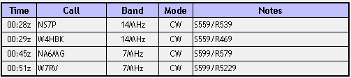
mtpisgah_qsos