
This peak is on the Seven Springs Mountain Resort, just a short way from the high point of the 70 mile Laurel Highlands Hiking Trail (2961 ft elevation). Since the LHHT is part of the Potomac Heritage National Scenic Trail, it’s also got a POTA designation (US-4564).
It’s the summer, but the gates to the resort were open and I was able to drive into the parking lot, though I’m not sure if I was allowed to. At the south end of the lot is a connection to the LHHT, somewhere between Miles 27 and 28. K2CZH reports a dirt parking spot on Pritts Distillery Road very close to Mile 26 on the LHHT. This would go through a more scenic route north along the LHHT than the southerly path I took that mostly went through the tree-cleared ski resort.
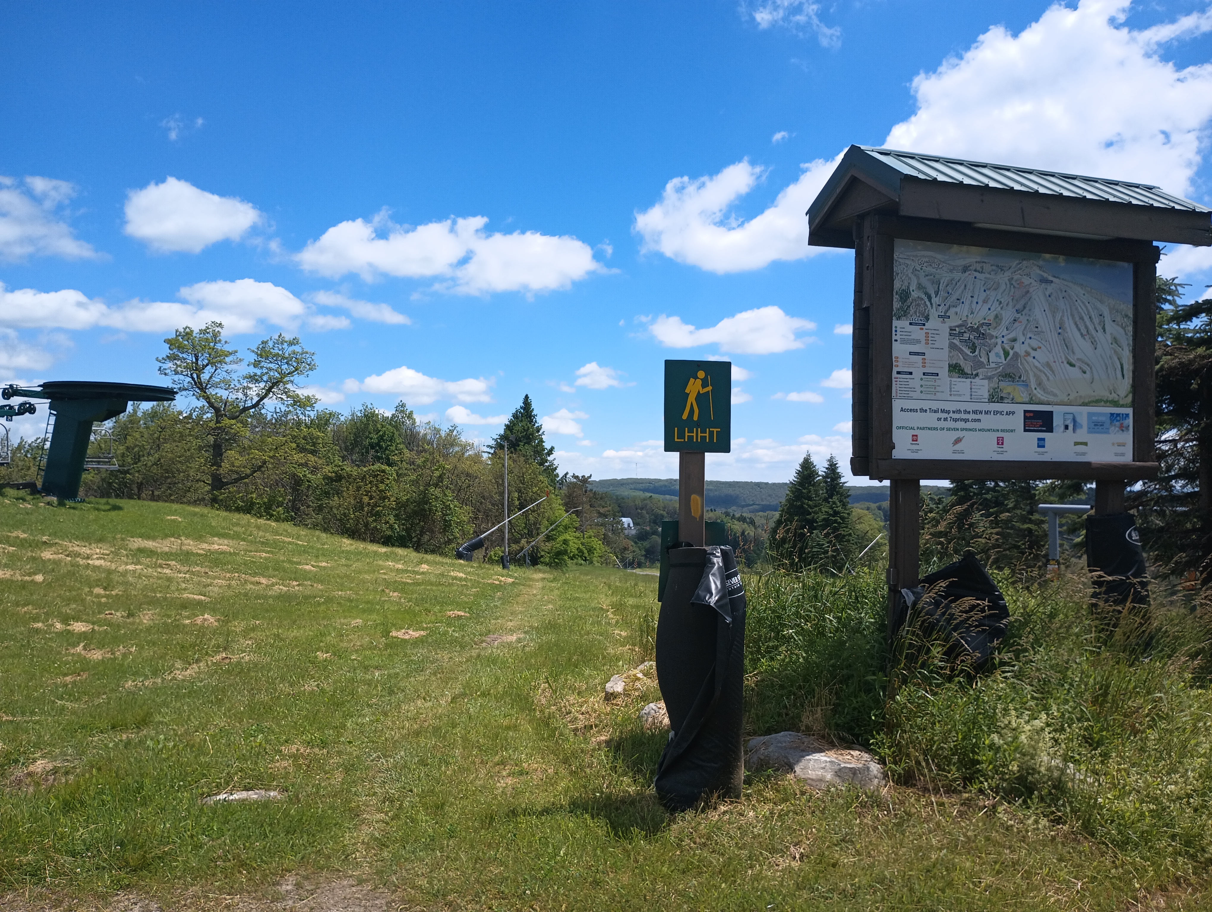
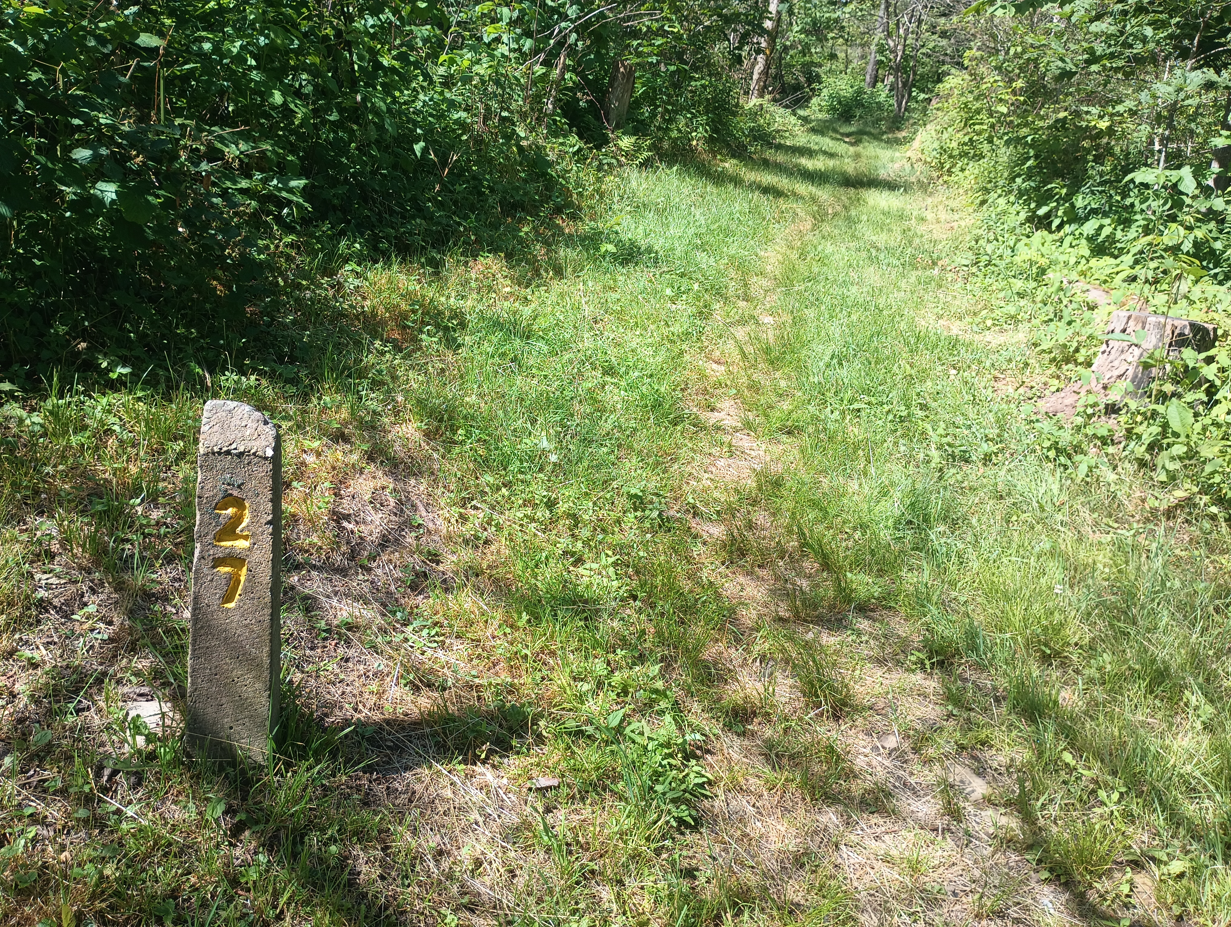
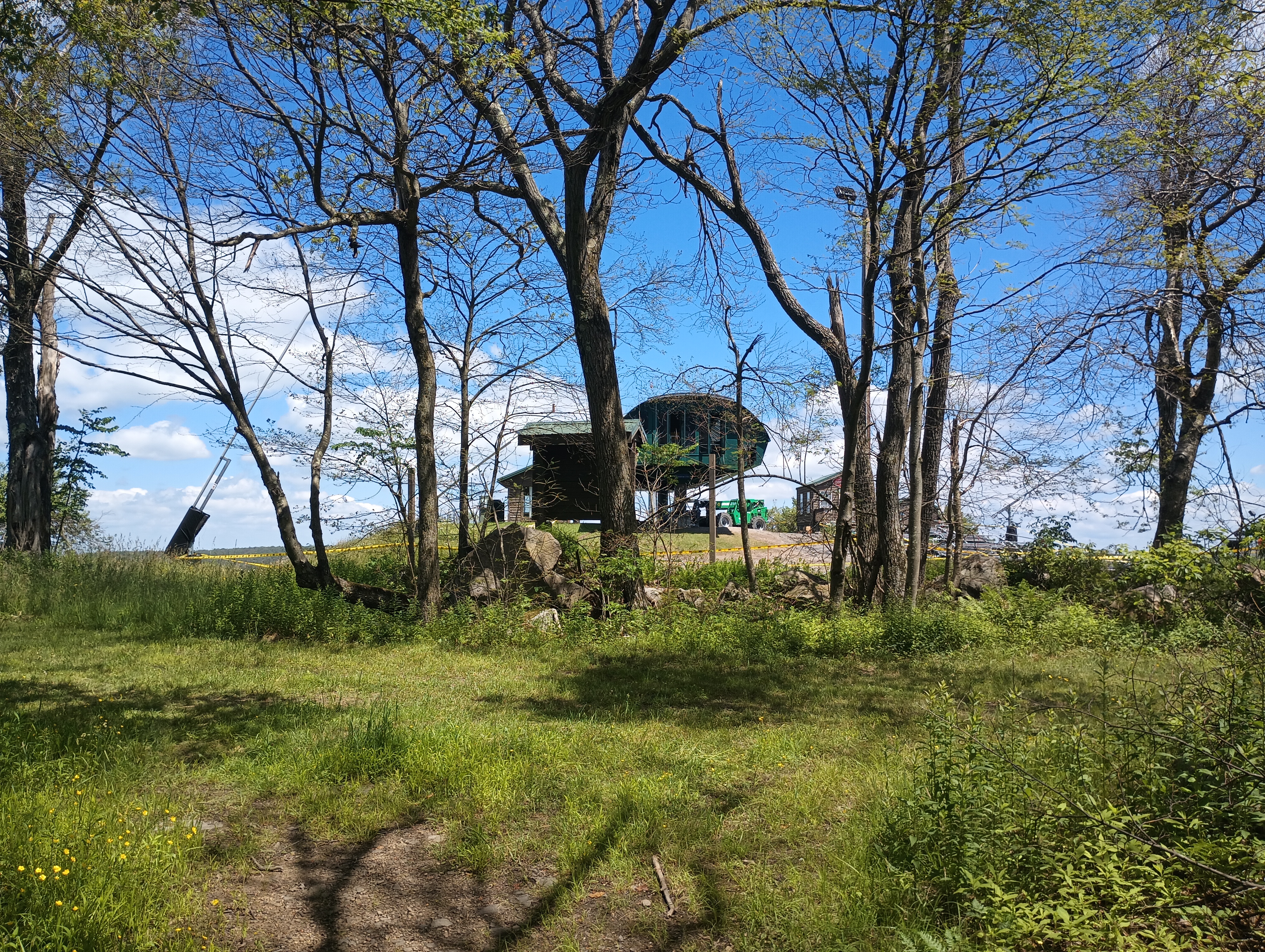
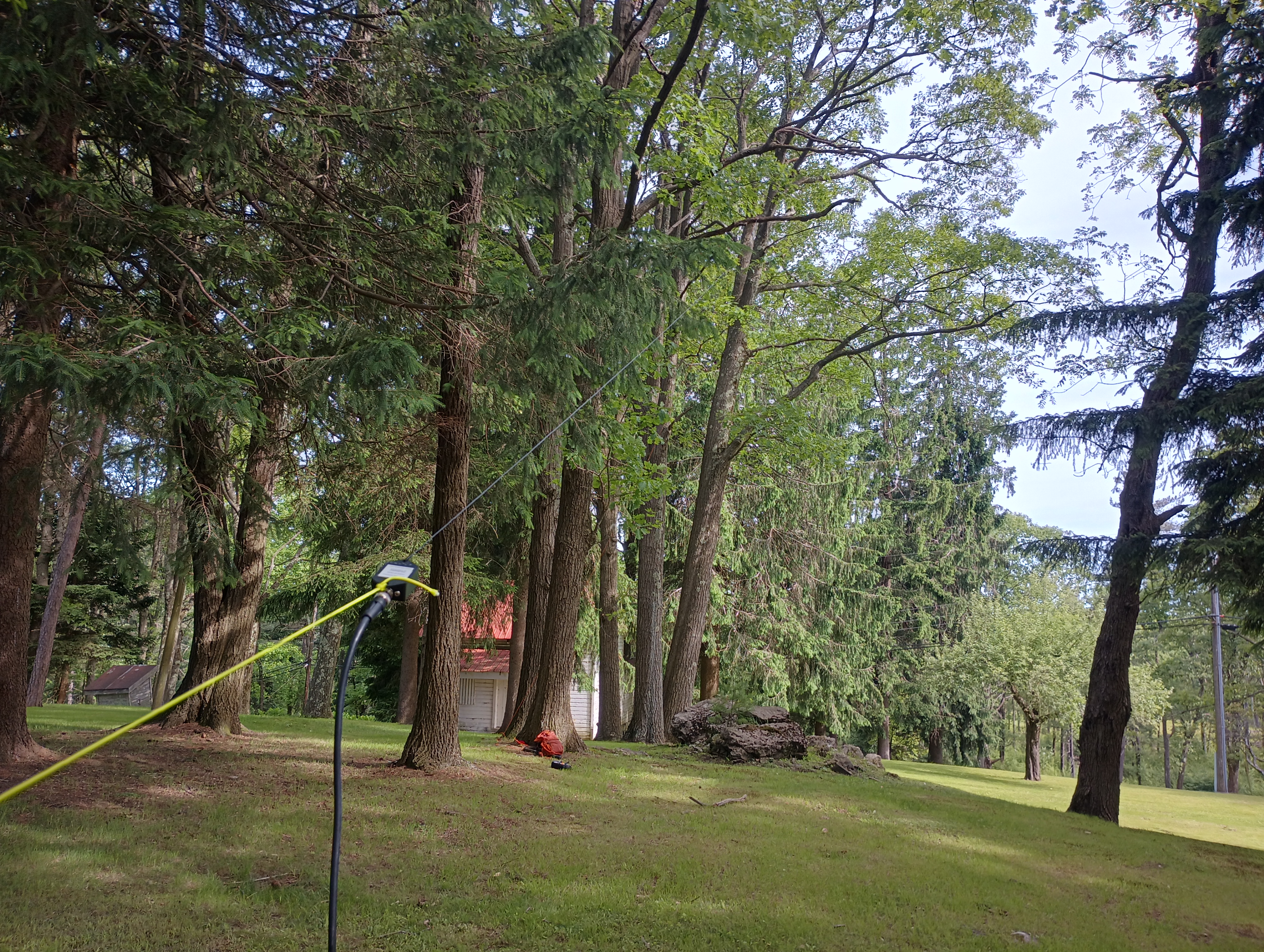
It was a clear day, with a pleasant breeze hitting the ridge. After about half a mile, I made it to the Lake Tahoe lodge area, which is worth a brief detour from the trail. The entire lake appears to be in the activation zone, but I set up a bit off the trail in view of the ski lift where the true peak appears to be. Not far from the tee of hole 9 of the disc golf course… there’s a lot going on up here. I used the arborist’s line, which is becoming my favorite way to a wire up in these tree-rich western PA peaks.
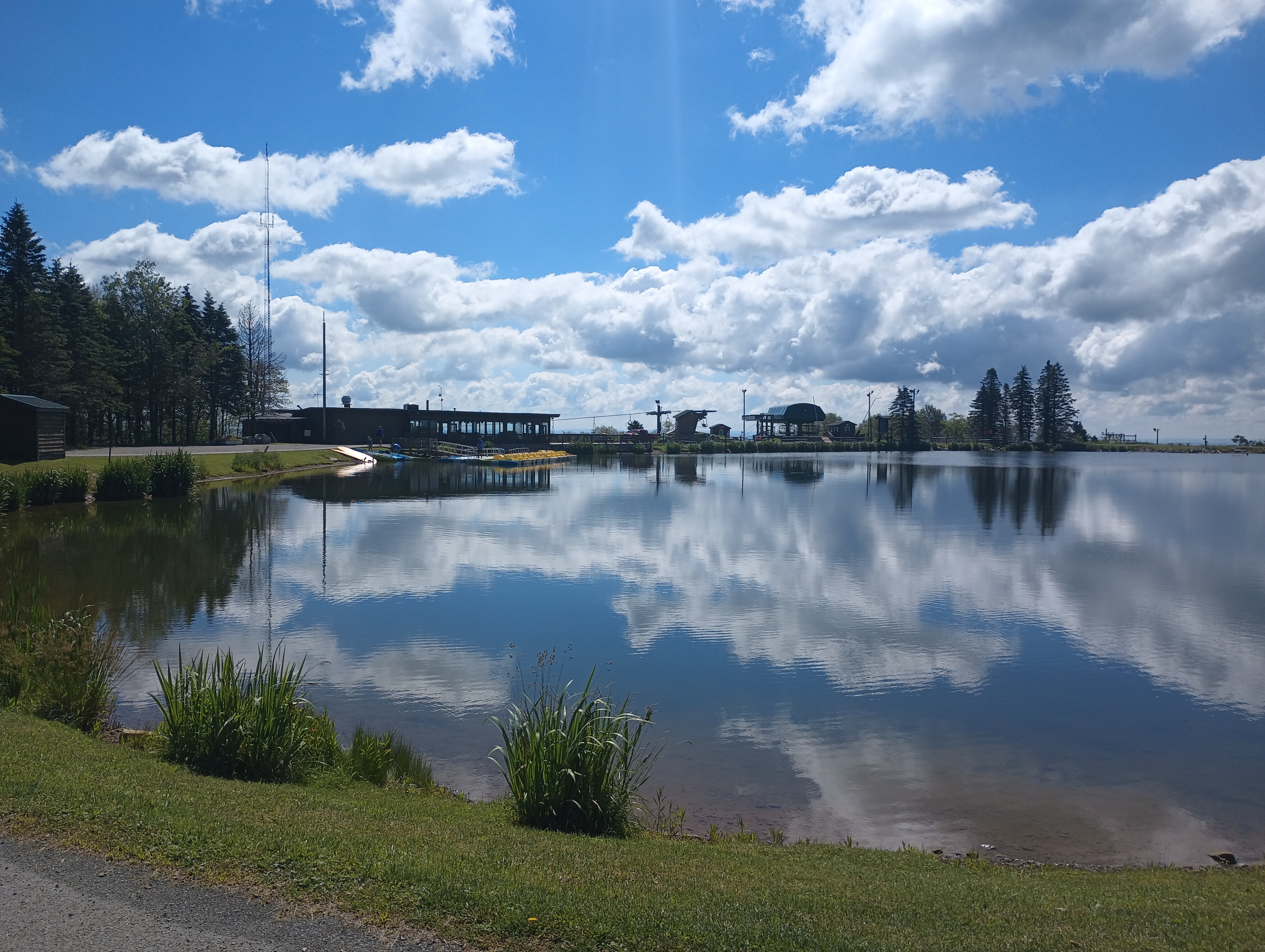
There was no problem getting the contacts, and no apparent QRM. Good cell service at the top as well. Probably my favorite SOTA peak so far in Western PA. It looks like I got lucky with parking in the Seven Springs lot. I will need to figure out a better parking spot for future trips, perhaps further south on the LHHT.
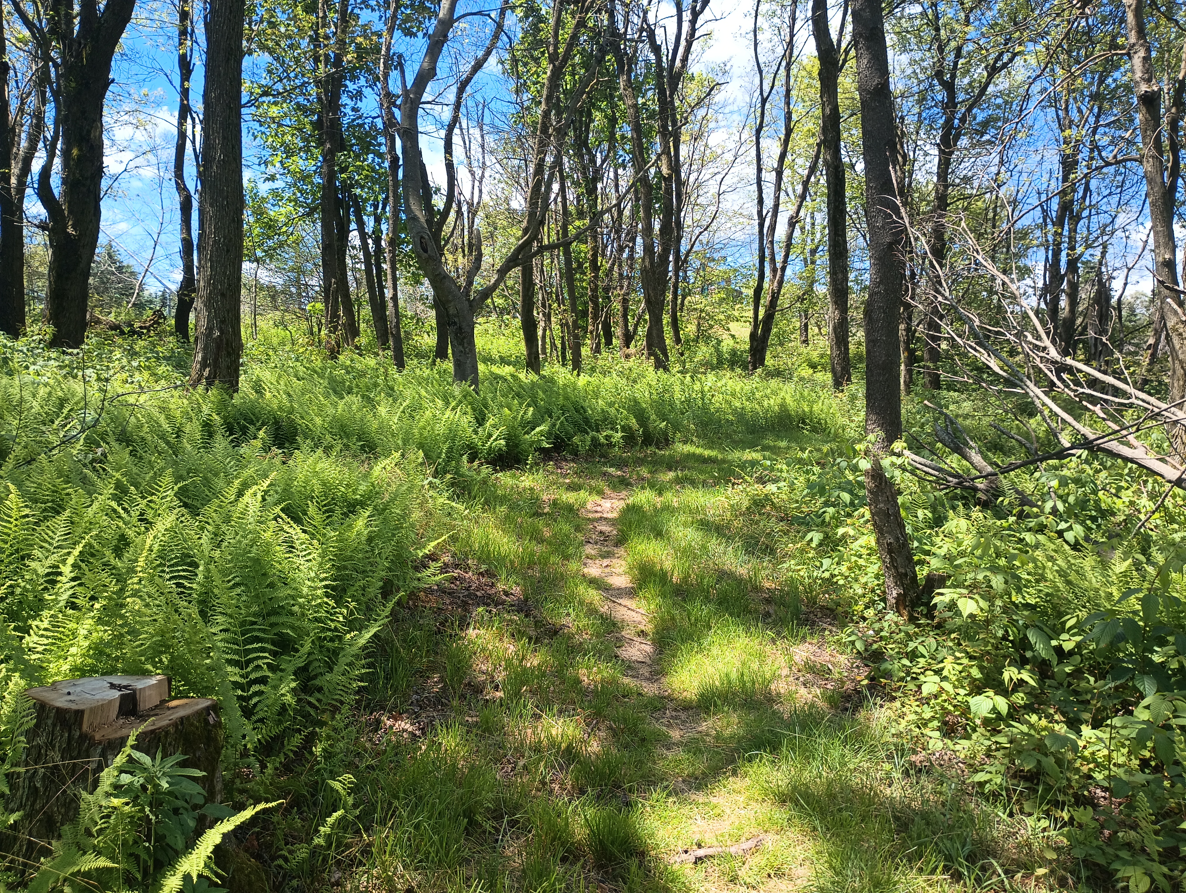
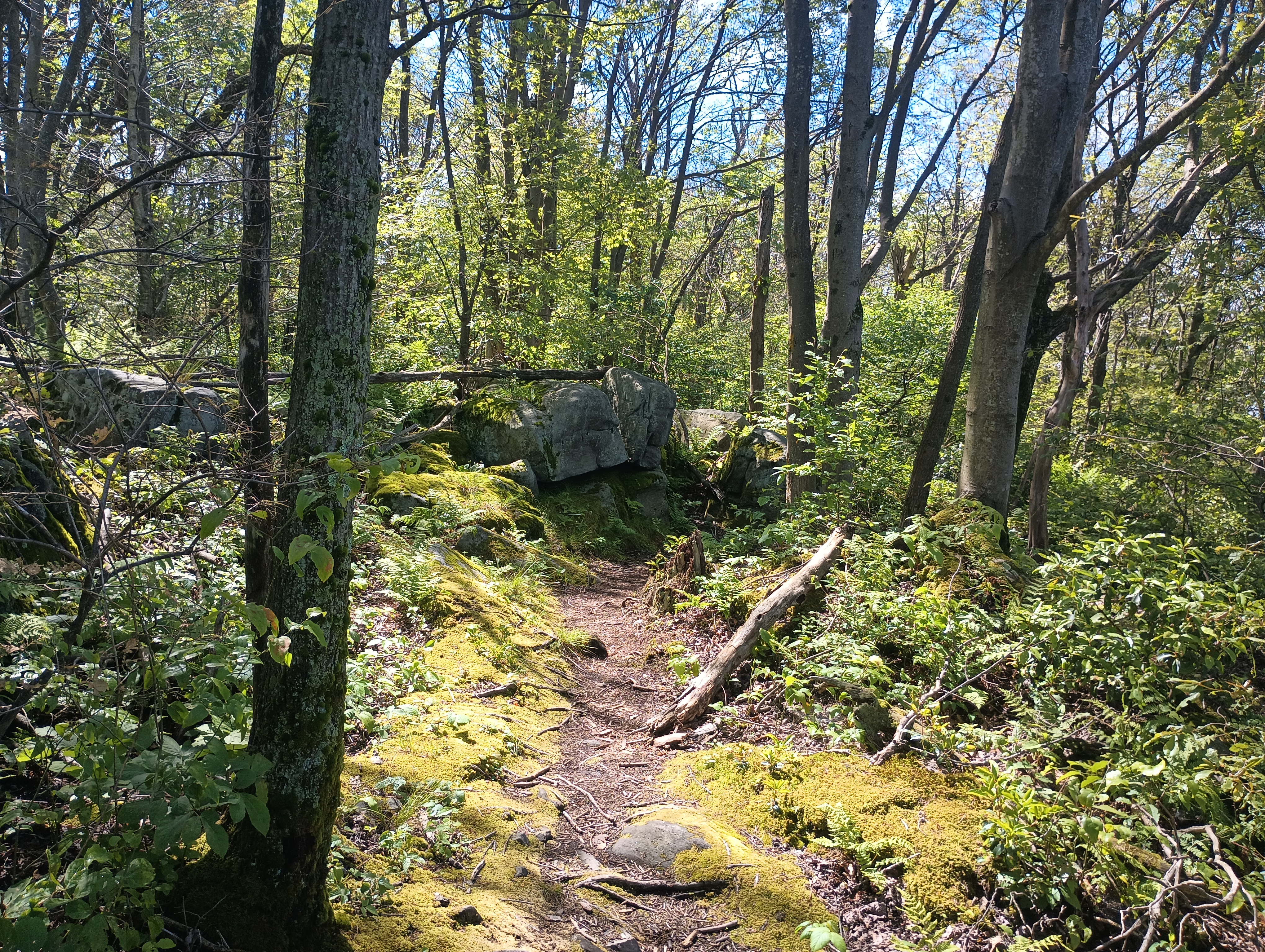
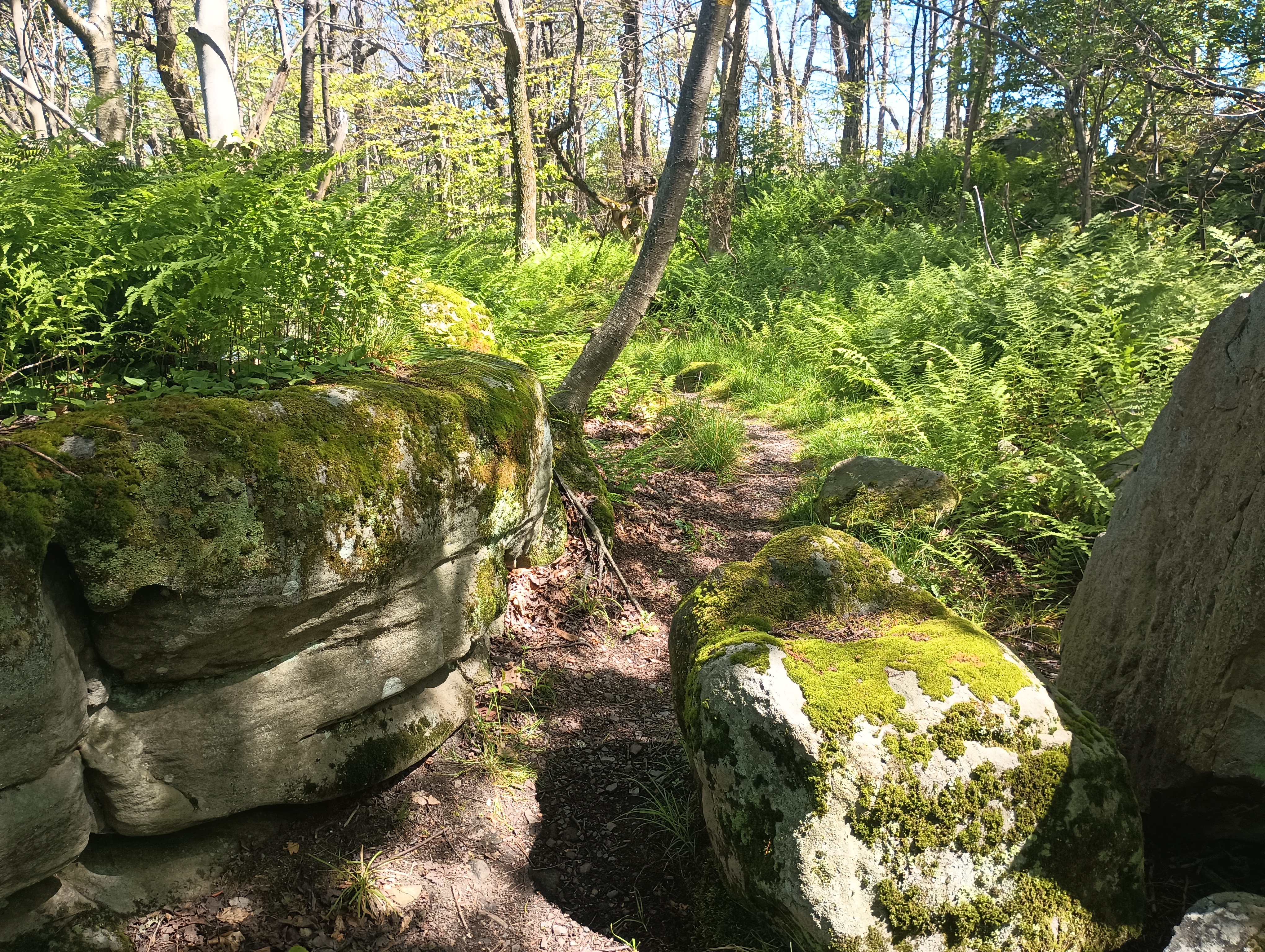
Here are some pictures of the trail as it continues south past the high point, which looks more scenic. One of the famous Laurel Highlands shelters (Grindle Ridge) is not far from here, near Mile 24, so this might be a way to work this peak into a longer overnight backpacking trip.
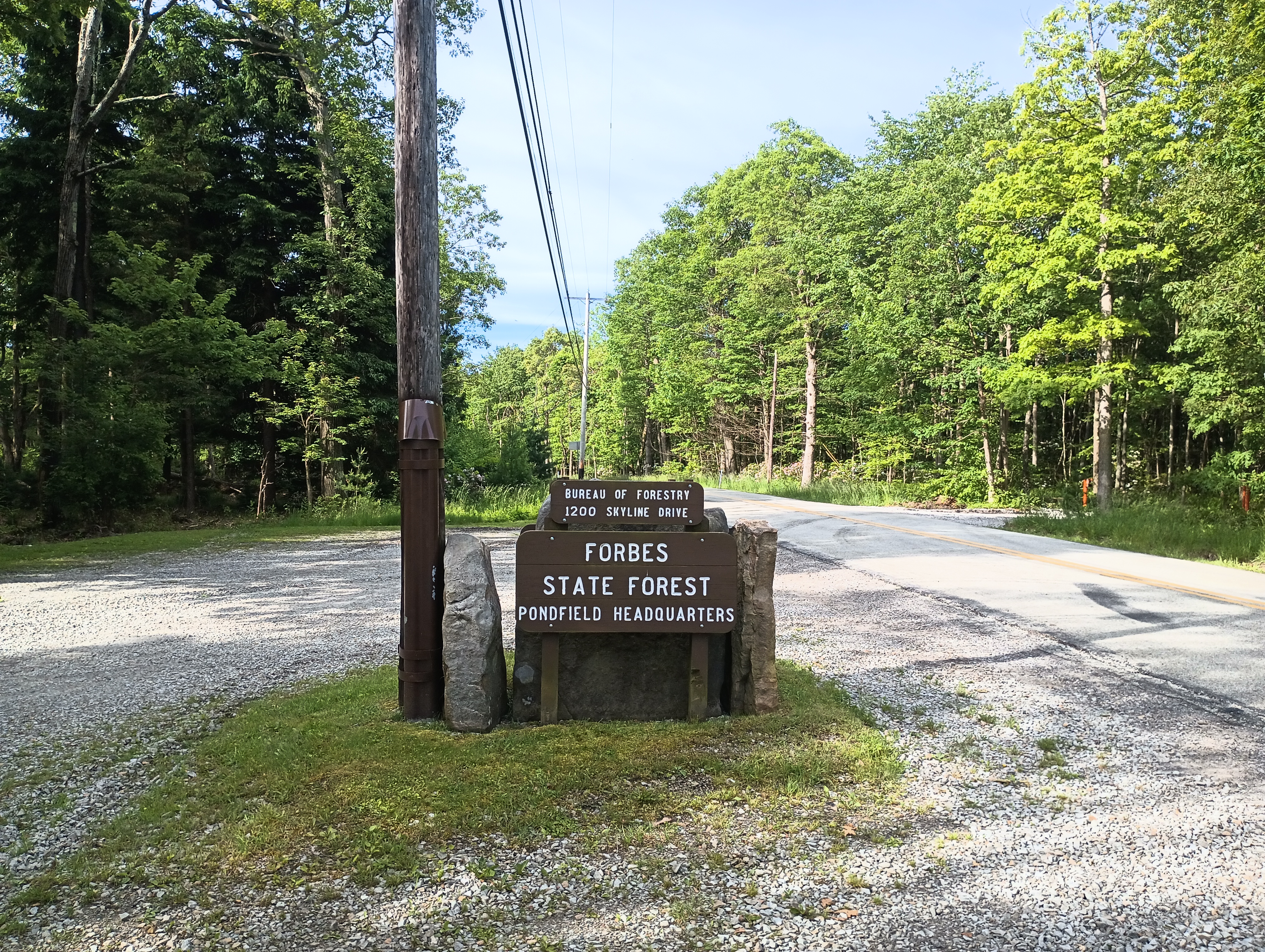
Update 13 Dec 2025: I returned to this hike in the winter for the seasonal bonus, and this time to try the northbound approach from the Laurel Highlands Hiking Trail south of the Seven Springs resort as reported by K2CZH. There is a pullout with space for one car in Forbes State Forest off of Pritt’s Distillery road (GPS coordinates: 40.01806, -79.31095). This doesn’t require you to park at the ski resort, so it may be the more “public option” for access.
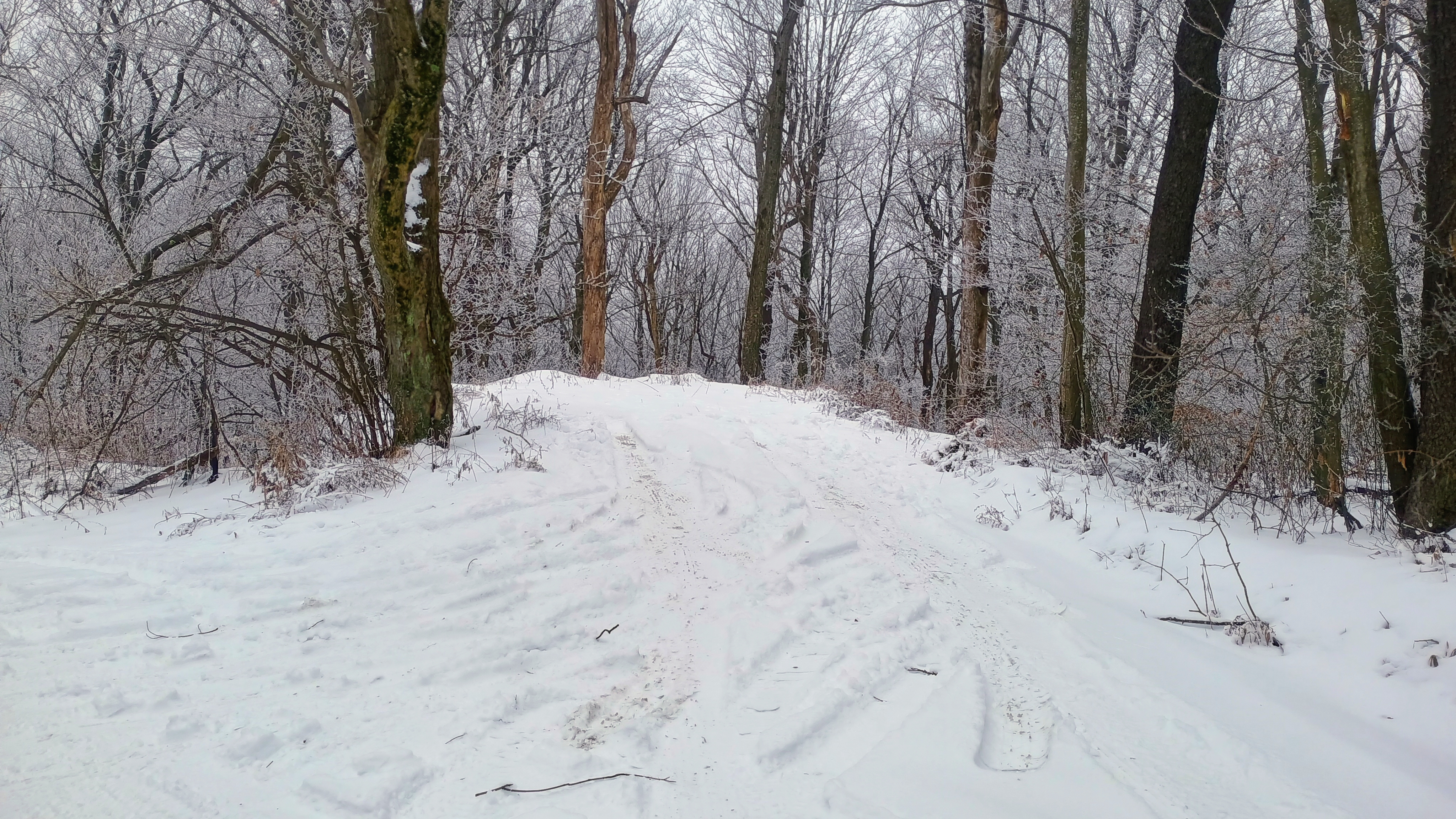
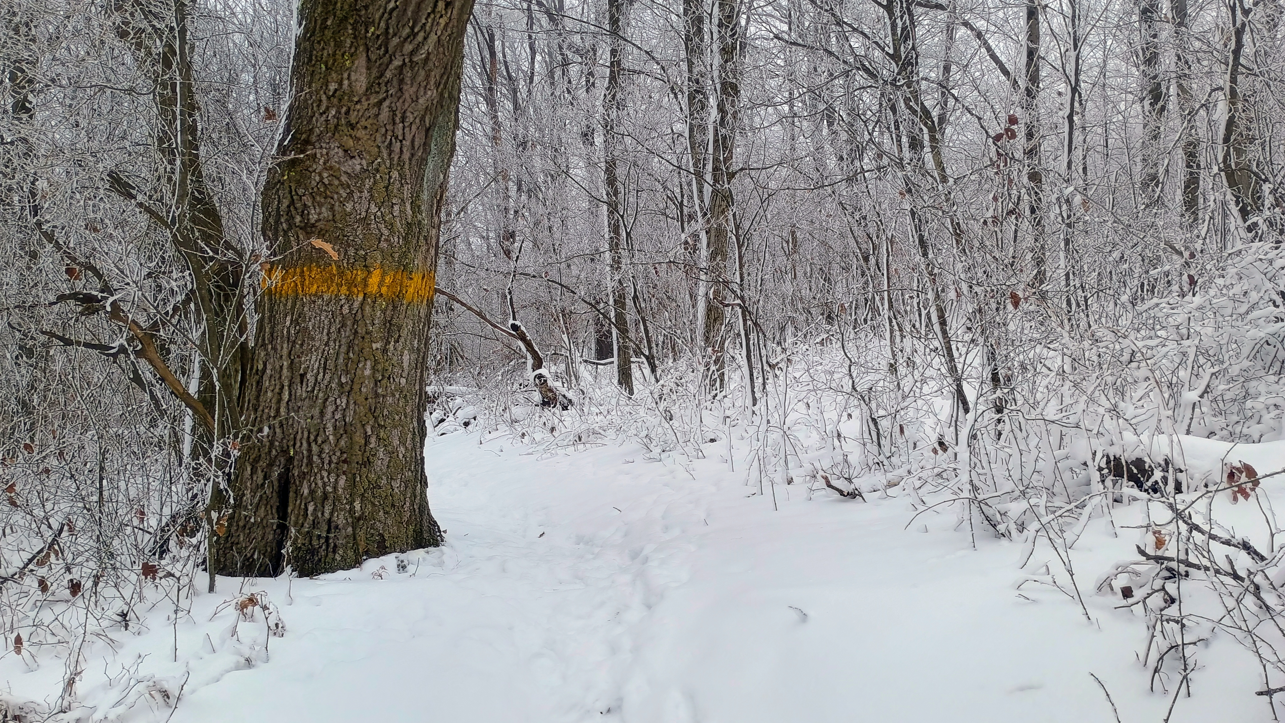
Then, you just hike northbound along the LHHT which crosses Pritt’s Distillery road 200 feet east from the parking spot. The trail is well marked with yellow blazes, so it should be easy to follow into the AZ and summit. I operated from the LHHT about a half mile in, but you could keep climbing to the ski lifts from this direction.
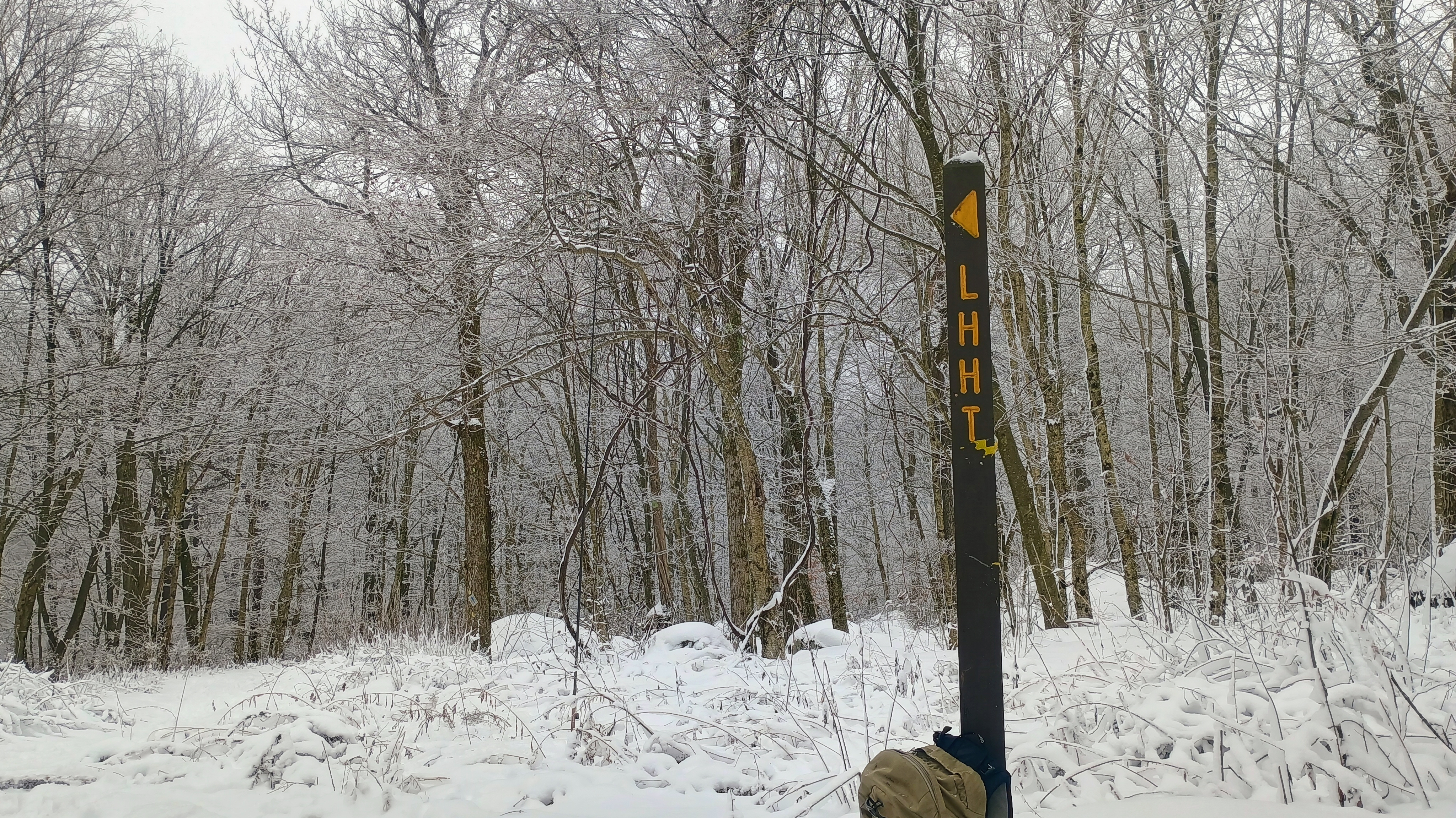
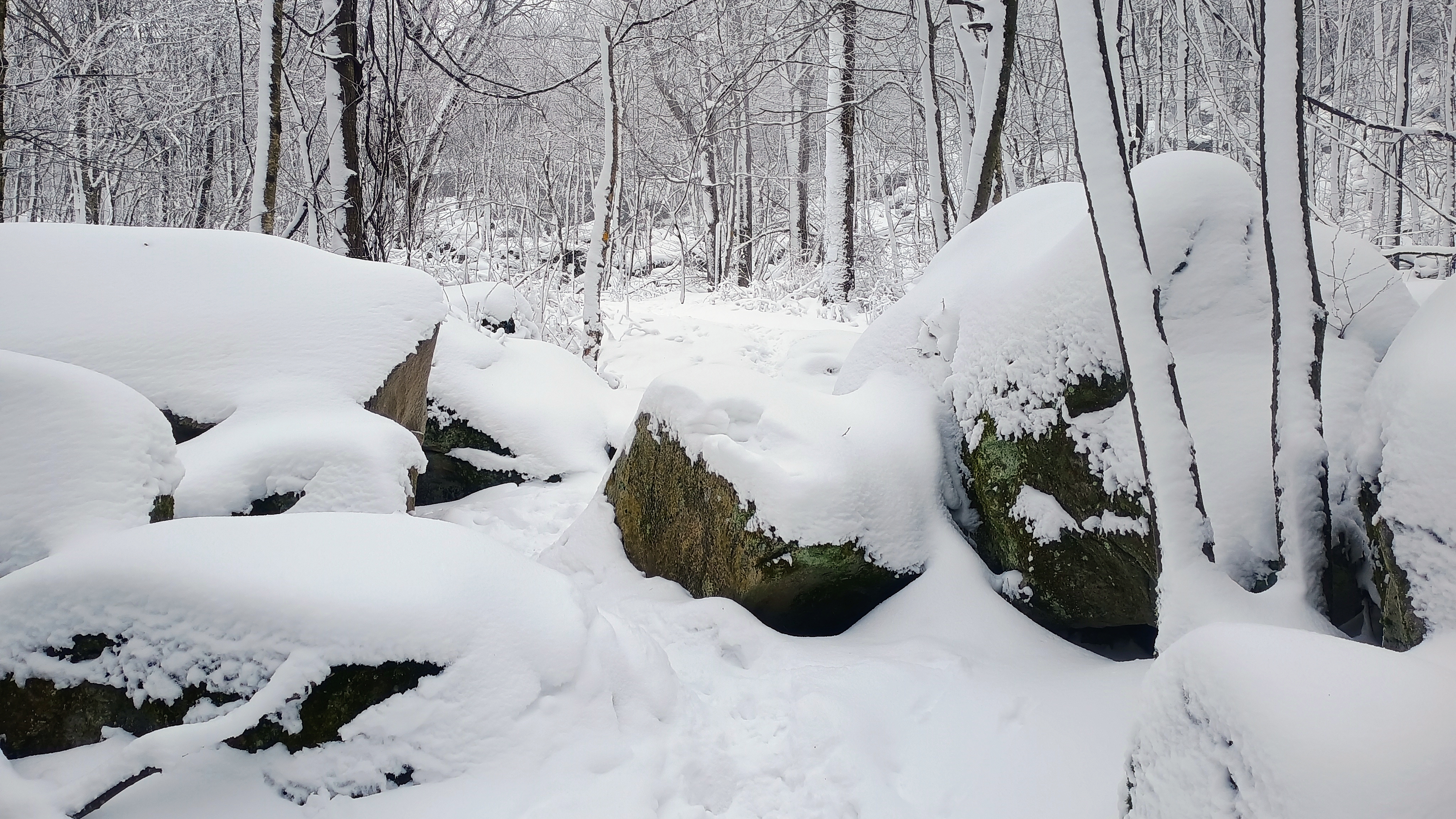
I spent two hours here, taking it slow and chasing some S2S. Bands were in good form. I managed 58 QSOs, including the following DX and S2S:
- 10m: DH8BQA
- 15m: F4WBN, SM5LNE, DL3HXX, IN3KLQ, HI8JCD, DL1HBT
- 40m: VA2EO, WK2LJK/P (W1/GM-010), KR4CEL/WA4BRX (W4V/SH-001), KK4DF (W4C/CM-075), K2JB (W4C/CM-010), N4NFM (W4G/HC-008), K2CPT (W1/GM-140).
Notable on this trip was the radio presence of the local Pittsburgh SOTA community which is growing in activity, including chases from Jody K3JZD, Jim KJ3D, and Dan NM3A. I was able to ping the K3MJW Skyview Radio Society repeater from the summit, where I got Cooky WC3O to chase on 40m. Keep in mind that you’ll be able to hit that repeater using just a whip antenna and an HT!
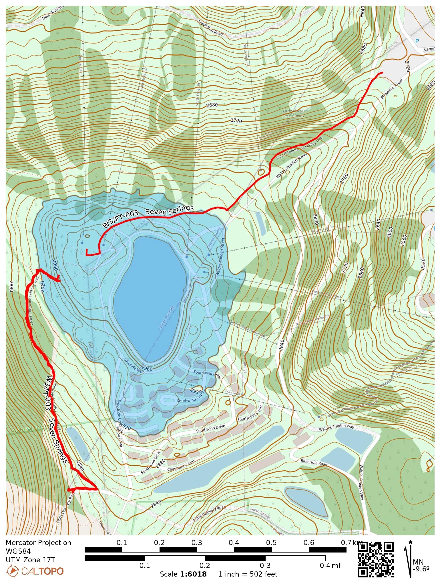
- Trailhead:
Southbound option 40.01806, -79.31095 : One-car pullout off Pritt’s Distillery road in Forbes State Forest, 200 feet from where the LHHT crosses the road
Northbound option 40.02806, -79.30110 : Seven Springs Resort parking lot, south end, then look for LHHT signposts - Maps: [AA3TZ SOTA] [Laurel Highlands Hiking Trail]
- Route: ~1.2 mi round trip, following the LHHT in either direction
- POTA: Potomac Heritage National Scenic Trail (US-4564)
 Tom Zajdel