W3/PW-013 Riansares Mtn

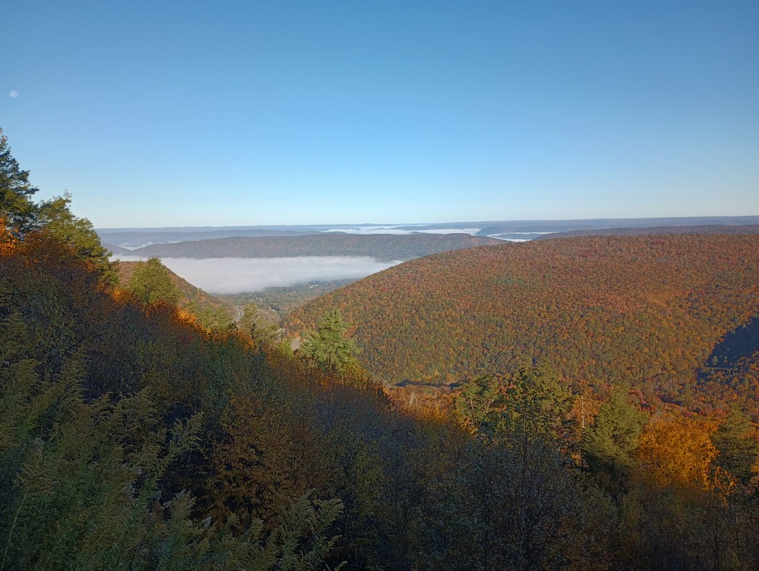
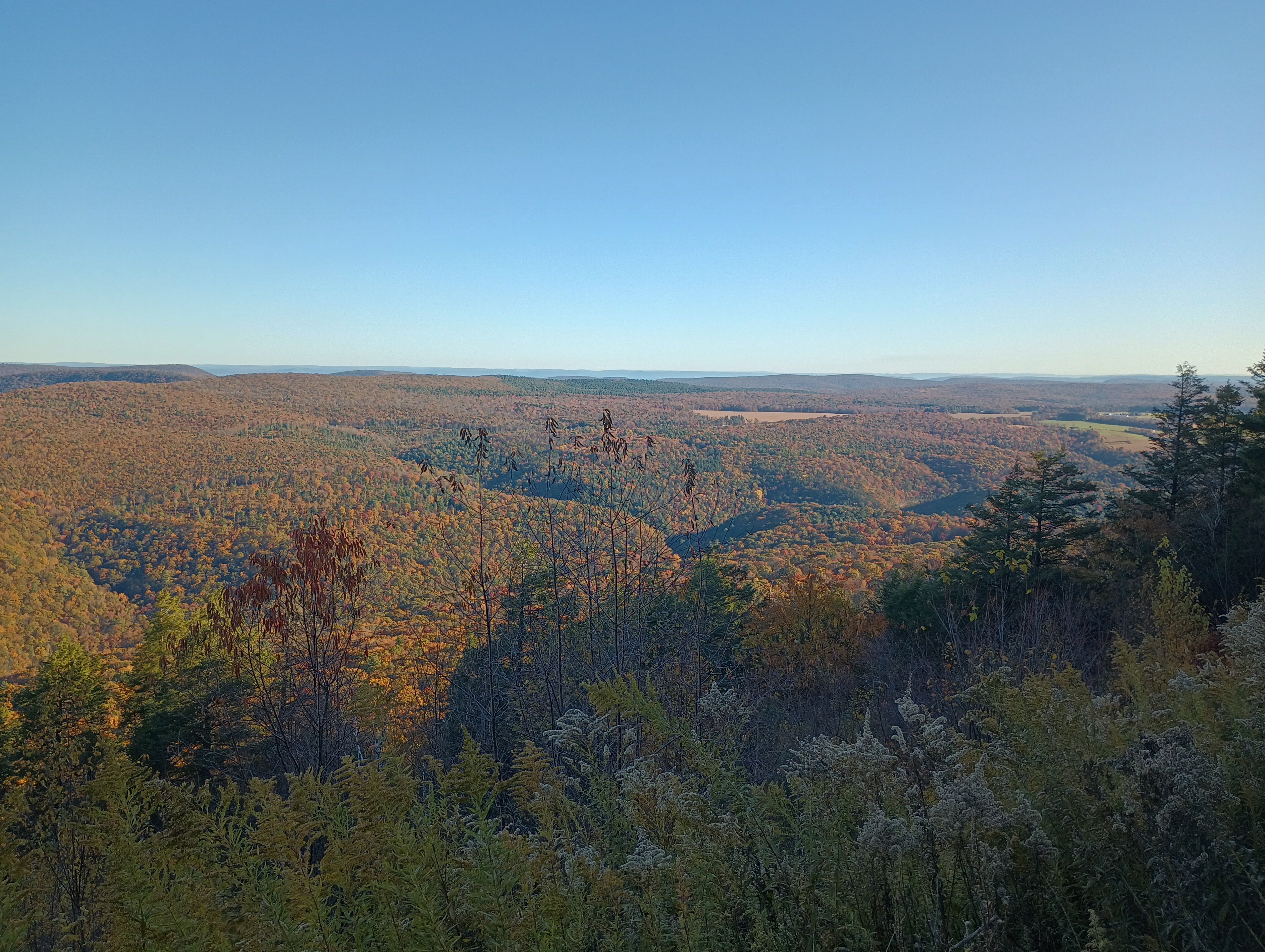
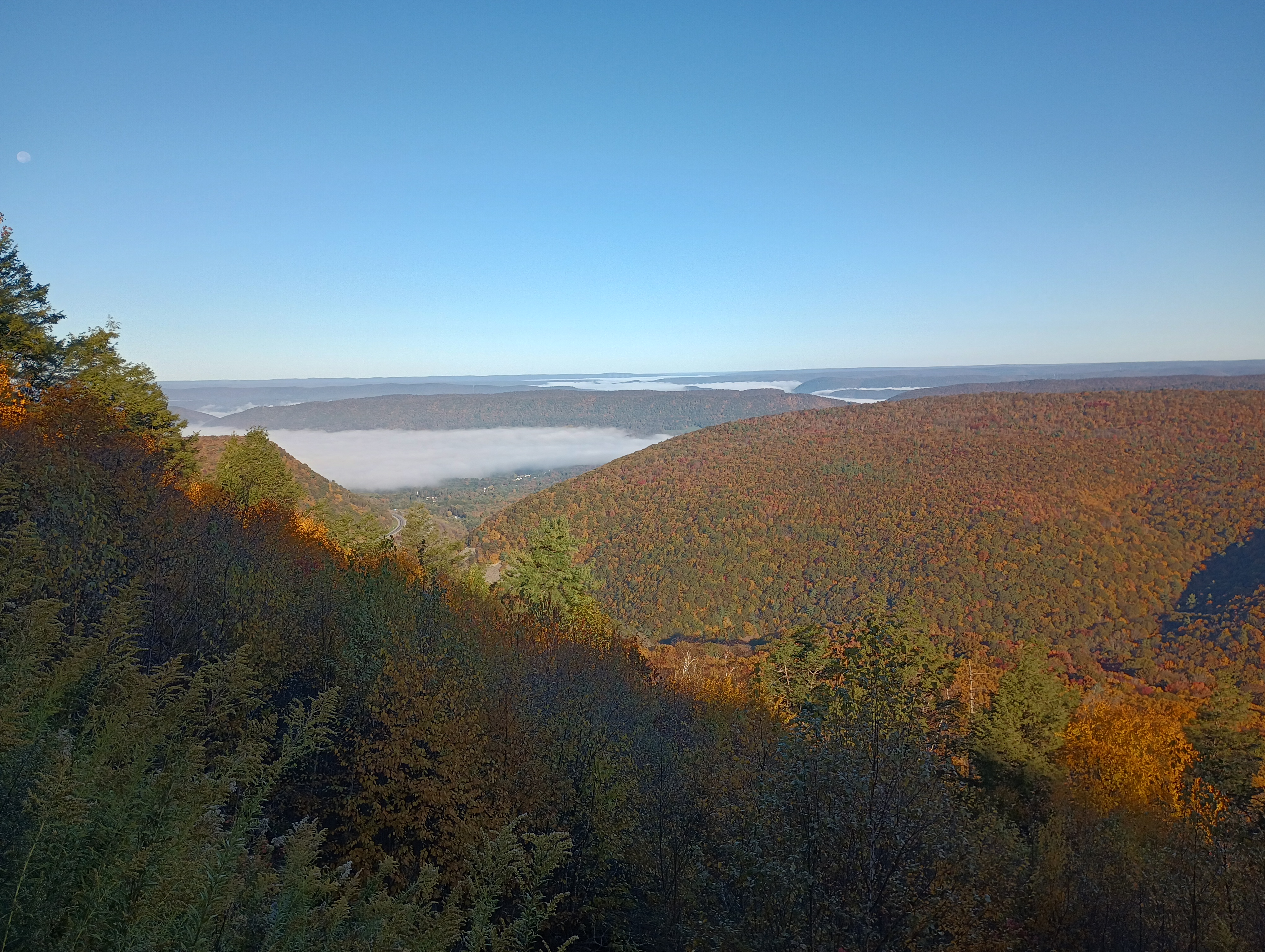
Riansares Mountain in Bald Eagle State Forest was my second drive-on peak of the day as I worked my way back west towards Pittsburgh from the Sate College area. I exited I-80 W to PA-477 south, then took a sharp right turn up Pepper Run Road towards Low Place Road and eventually Riansares Road, the gravel road that takes you to the top. There is a great vista point on the north side of the mountain on the way up, definitely worth a stop.
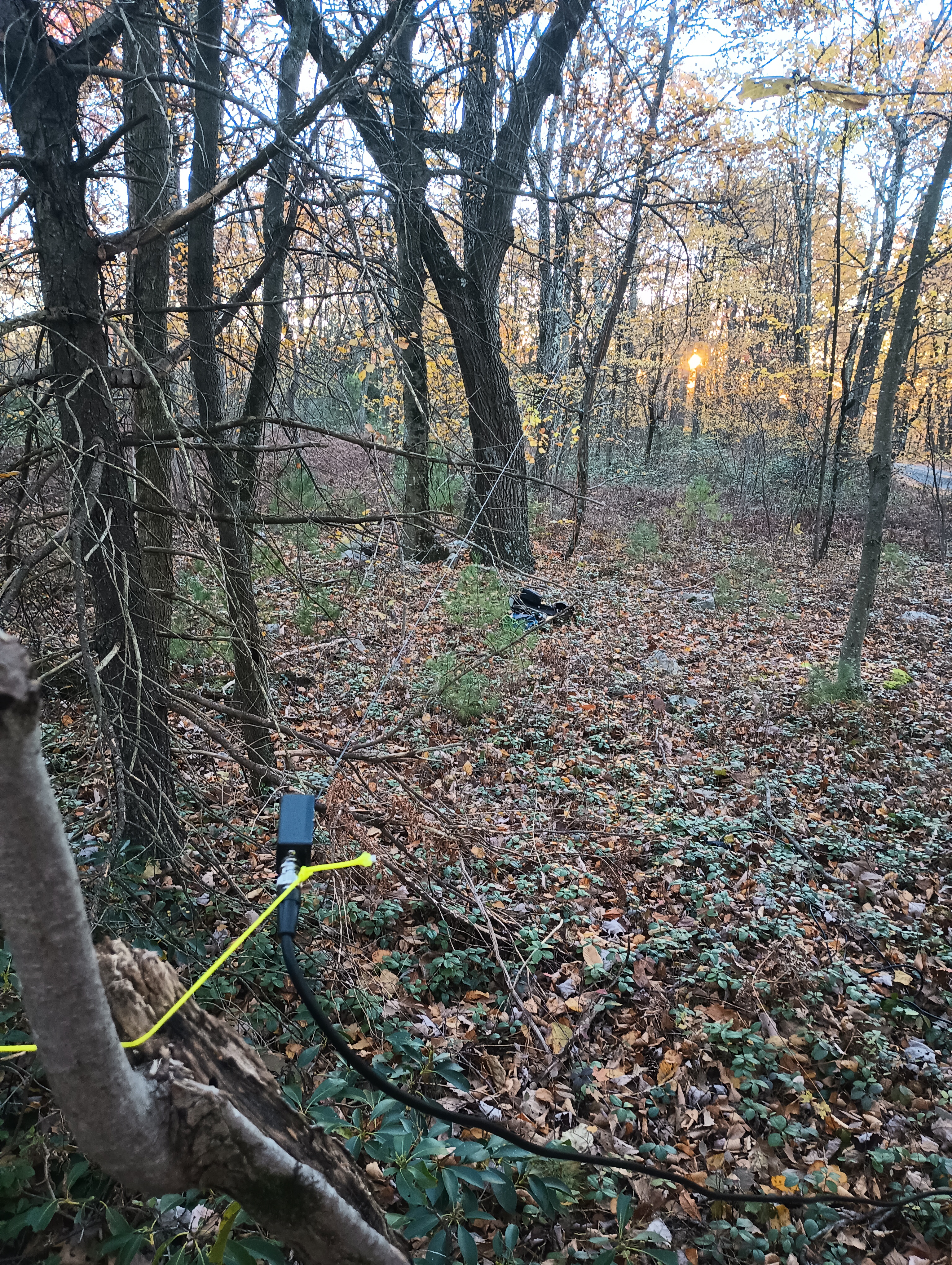
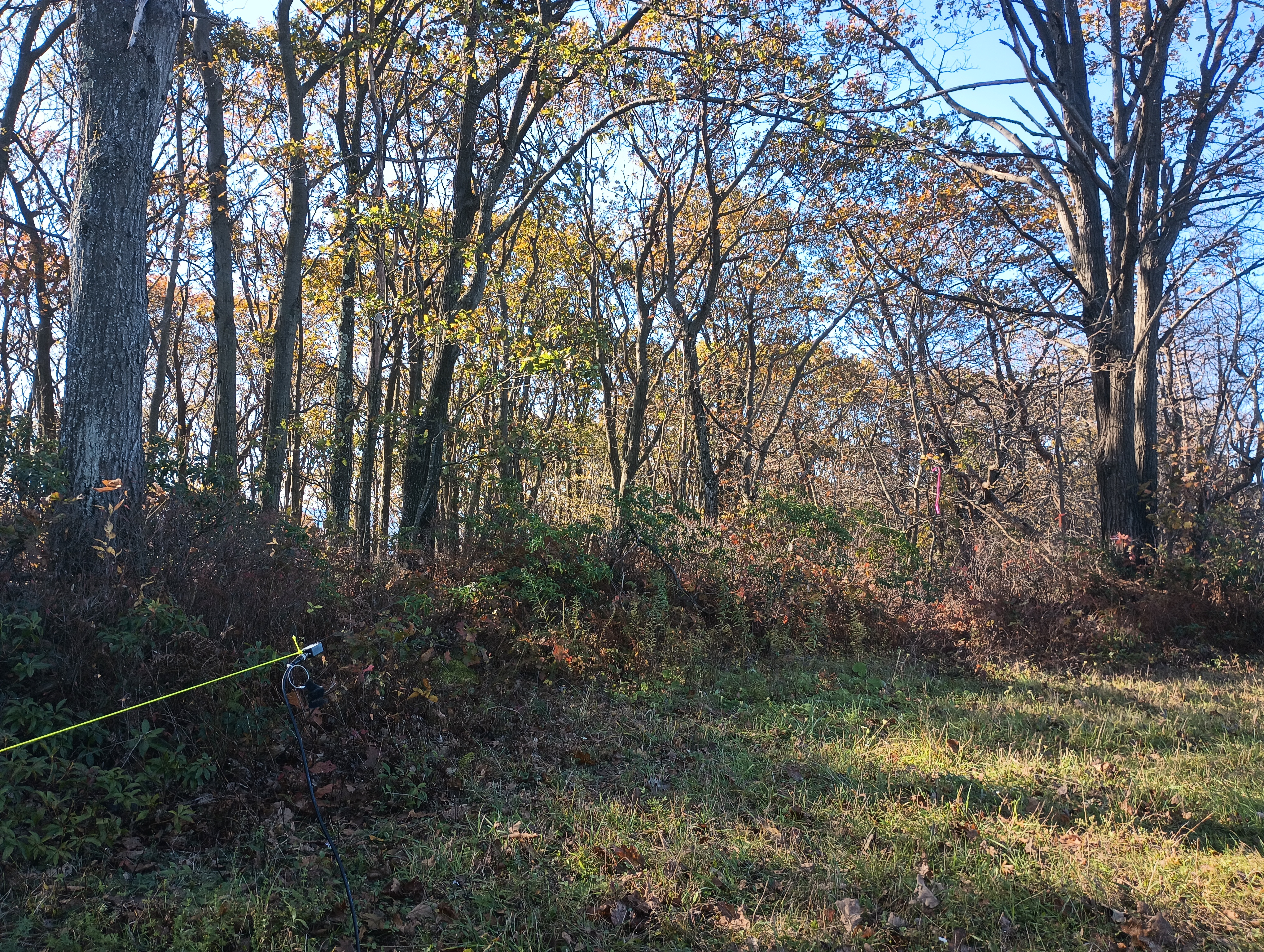
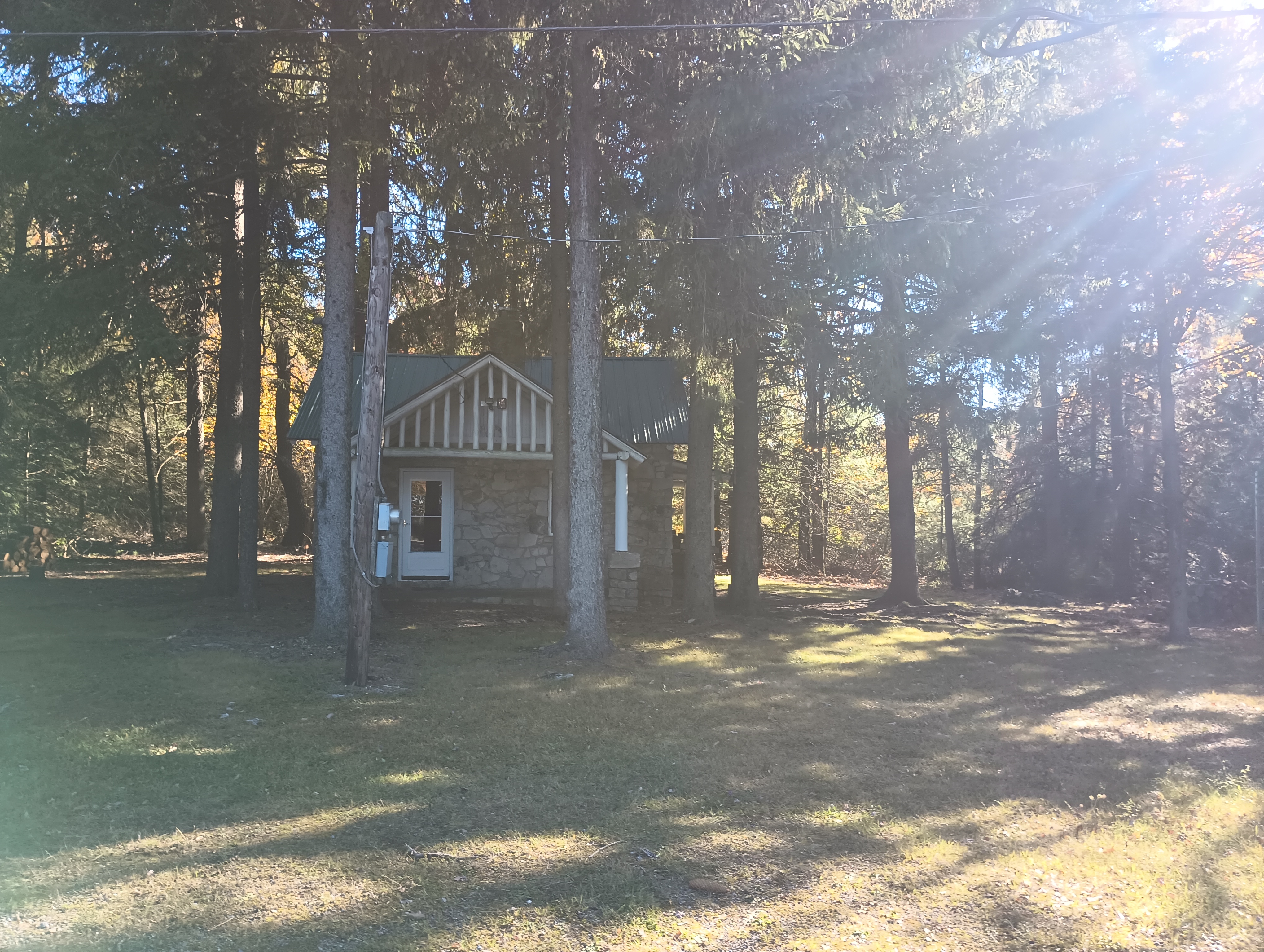
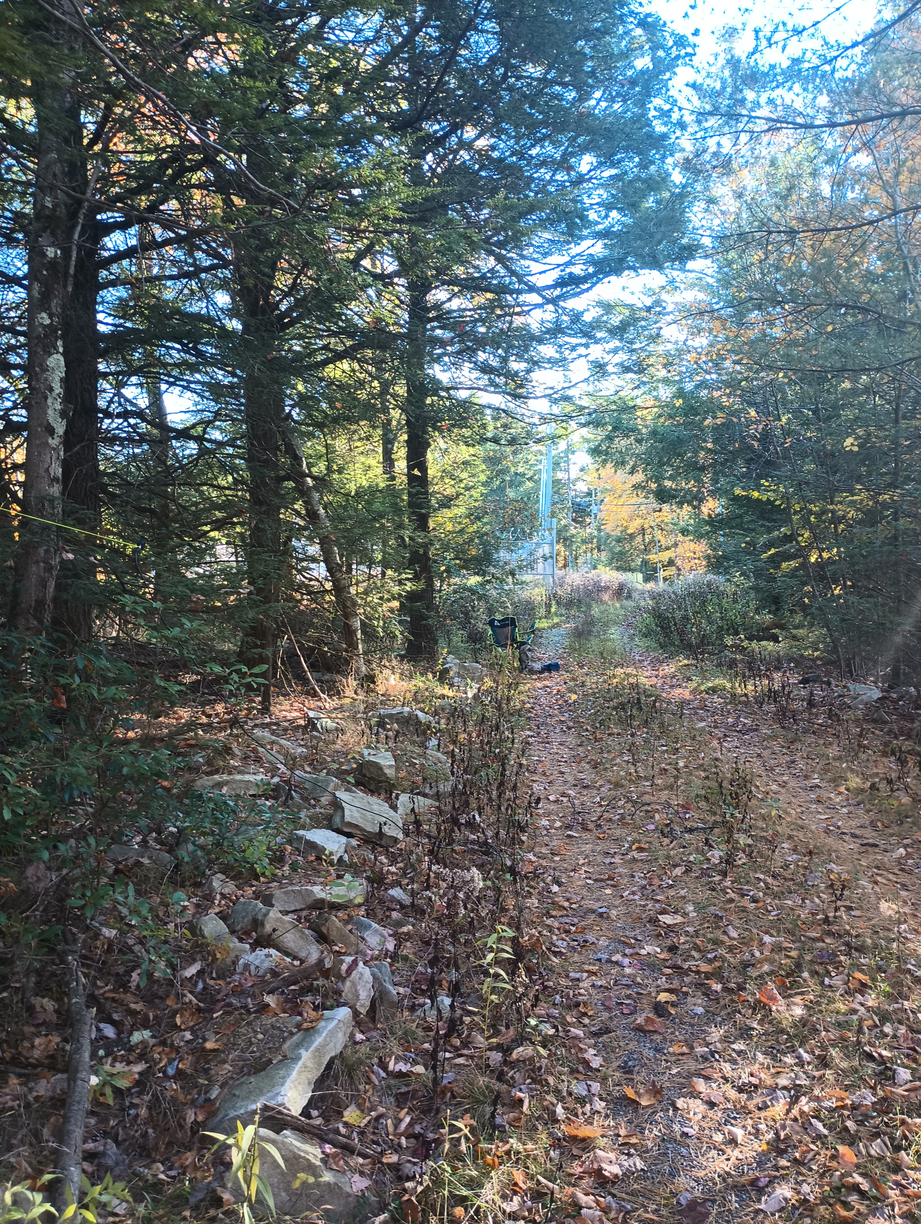
There are a number of radio towers and a mysterious cabin (uninhabited? but in great shape!) at the top. I walked along the Winter Trail into the woods behind the tower for a tenth of the mile to find a tree to toss my wire over. I just operated on 10m and got pretty much only DX: F6CEL, SQ9IDE, IK6BAK/P S2S on I/MC-124, OE6GND, EA1AER, EI3HA, OK4SU, F8DSN, EA3GNU, EC5CSW, EA2DT, G4TGJ/P S2S on G/NP-028, all on CW. Any activation with two Trans-Atlantic S2S contacts is a very good activation! I even worked DF5LMD and G4OBK on 10m SSB.
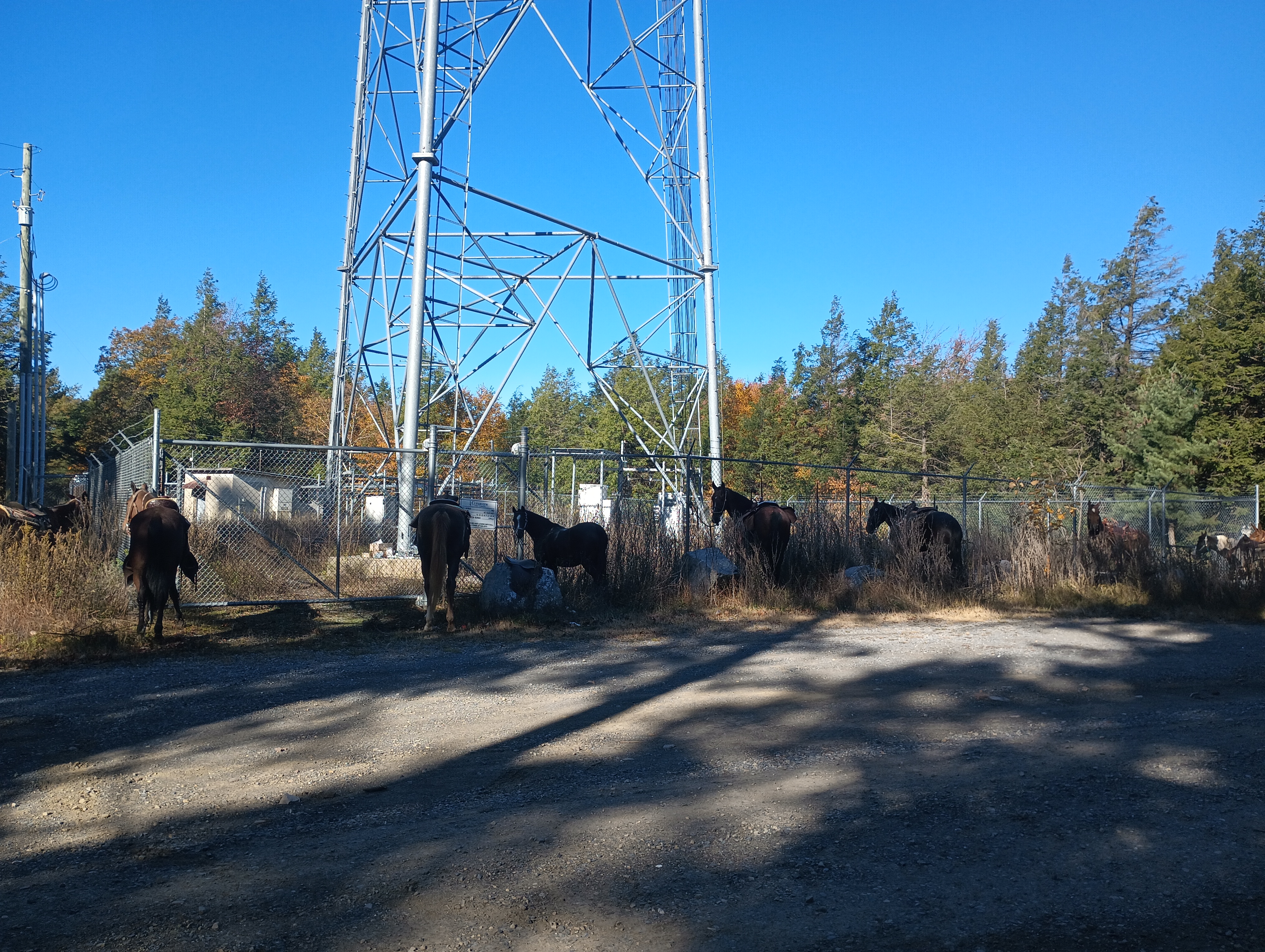
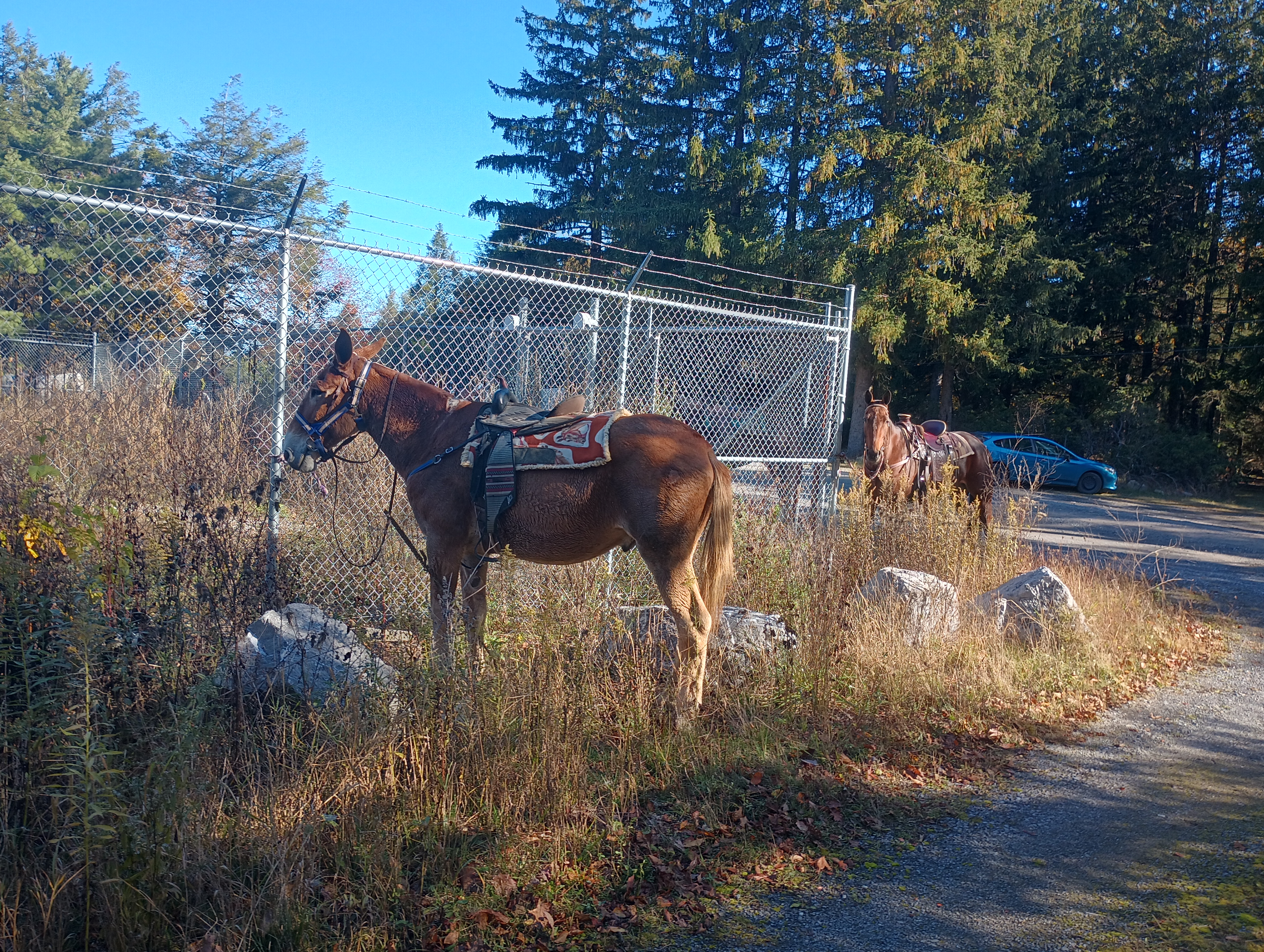
As I walked back to my car, I saw about 15 horses tied to the fence around the radio tower with well-crafted saddles. As I went back down the road, I drove by a party of Amish men that had stopped at the vista point.
Here is the map of the area. I’ve added a hike up the Boiler Trail suggested by N3TWM, which would leave you on the west side of Riansares Road.
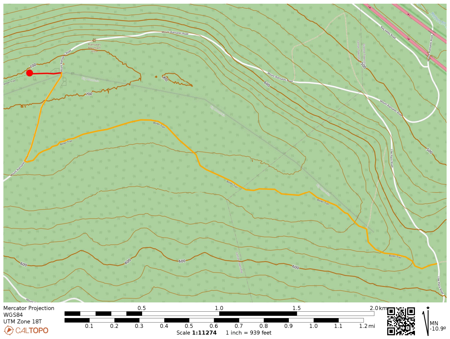
Red track marks my “hike” away from the cabin on Winter Trail. The orange is the 2.4 mile hike up Boiler Trail and Mount Riansares Road proposed by N3TWM.
  • POTA: Bald Eagle State Forest (US-5462)
  • Trailhead: 41.05148, -77.37982 : Parked near the cabin off of Mount Riansares Road
  • Maps: [AA3TZ SOTA]
  • Route: About 2 miles driving on forest roads, then a tenth of a mile walk onto Winter Trail. For more fun, walk up the Boiler Trail from Low Place Road (2.4 miles one-way), as suggested by N3TWM.
W3/PW-030 Jumbo Benchmark

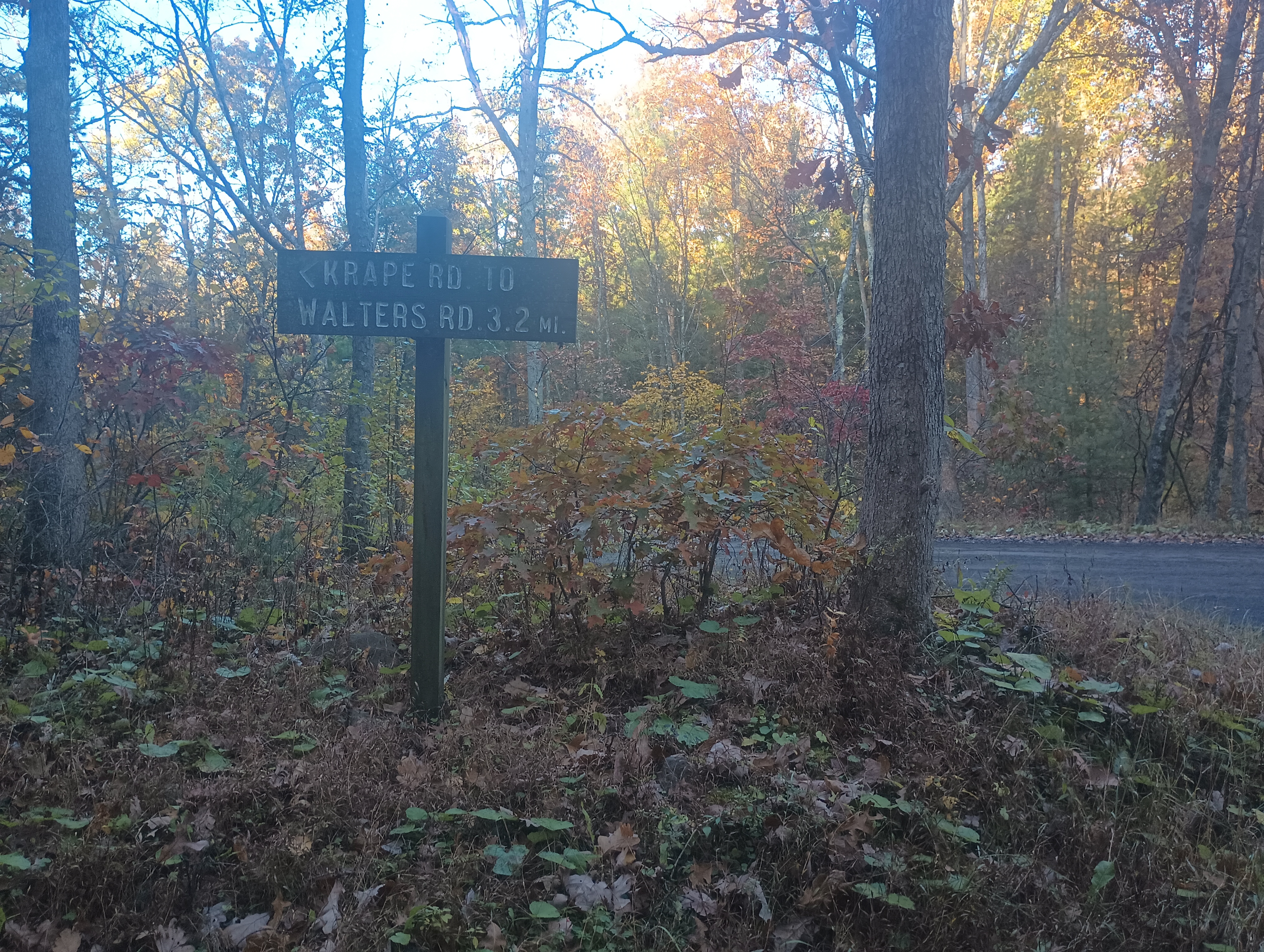
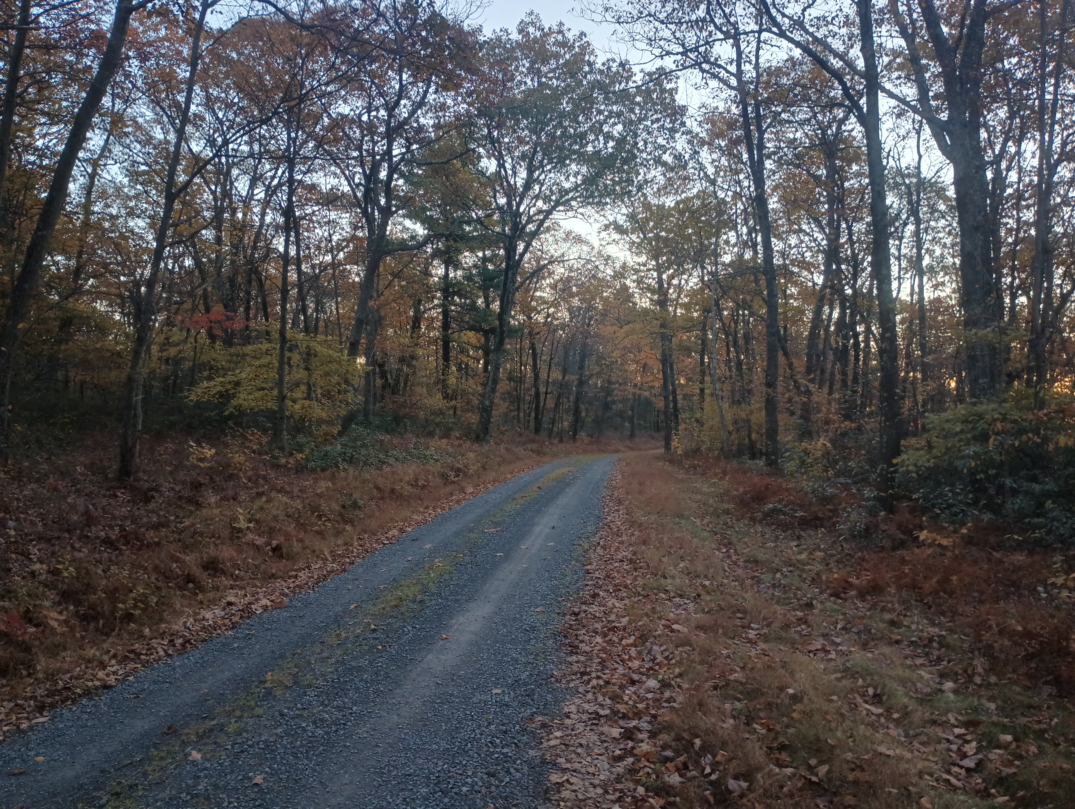
I decided to add a couple quick SOTA activations at the end of my fall break trip to State College, and Jumbo Benchmark was first on the docket. I headed east on I-80 before dawn towards Tiadaghton State Forest. The morning autumn light started to break as I turned onto Sand Spring Road, a gravel forest road. There is a junction about a half mile in, where I turned south onto Krape Road (following N3TWM’s trip report), which climbs up into the AZ.

I found a shoulder to pull over onto; there are several parking spots like this along Krape Road. I walked a bit into the woods and got set up. I got some nice DX on 10m, including two S2S: MW0IDX, EA1AER, MW0LEP/P S2S on GW/SW-025, HB0EVF/P S2S on HB/VS-239. Wrapped up on 20m and 40m for a total of 13 QSOs in 20 min. Kept this one quick and short since I had a lot of driving ahead that day!

The Mid State Trail passes through nearby, so this summit could be a short detour on a longer backpacking trip.

  • Trailhead: 41.08302, -77.21094 : Side of Krape Road
  • Maps: [AA3TZ SOTA]
  • Route: 1.6 mile drive on forest roads (Sand Spring Road to Krape Road), then a hundred foot walk into woods.
  • POTA: Tiadaghton State Forest (US-5477)

W3/PW-071 Sandy Ridge

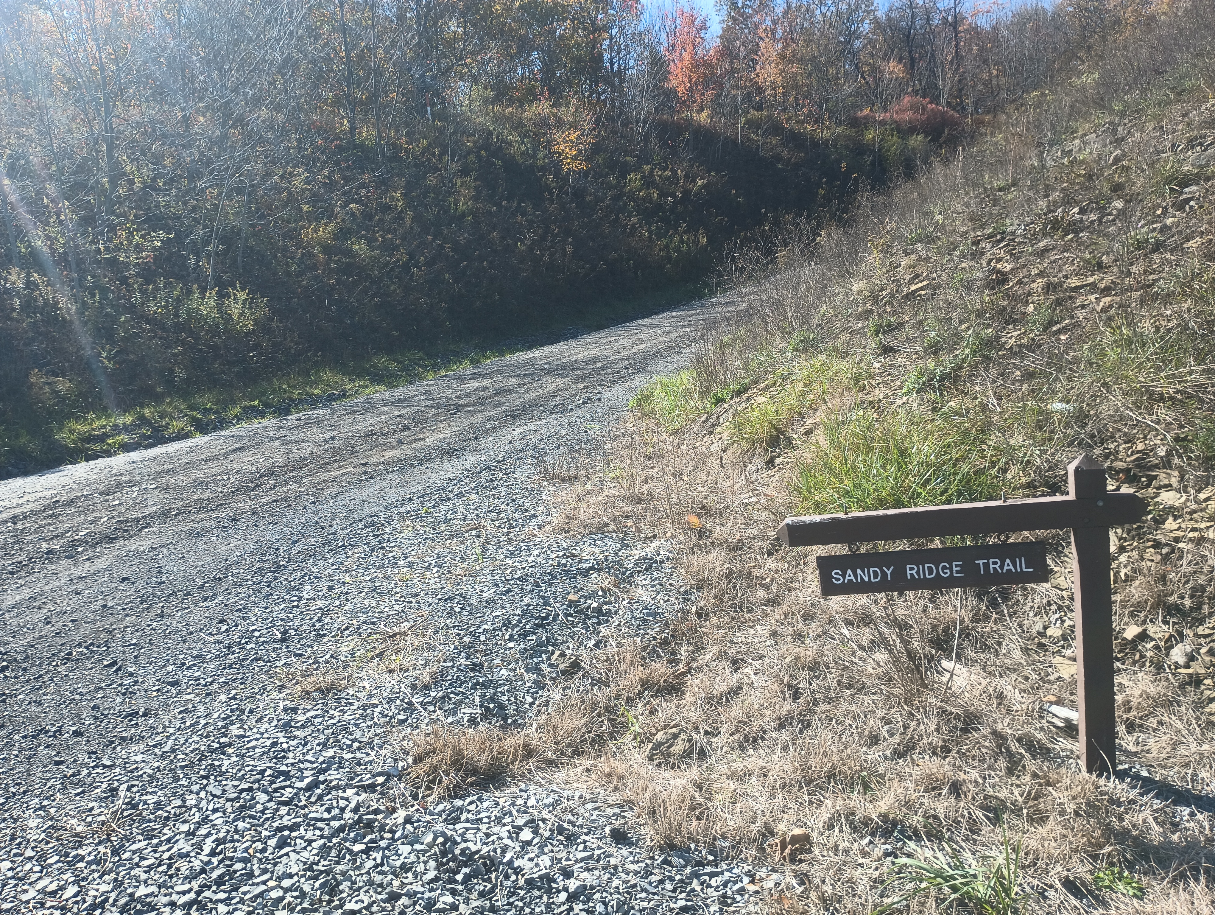
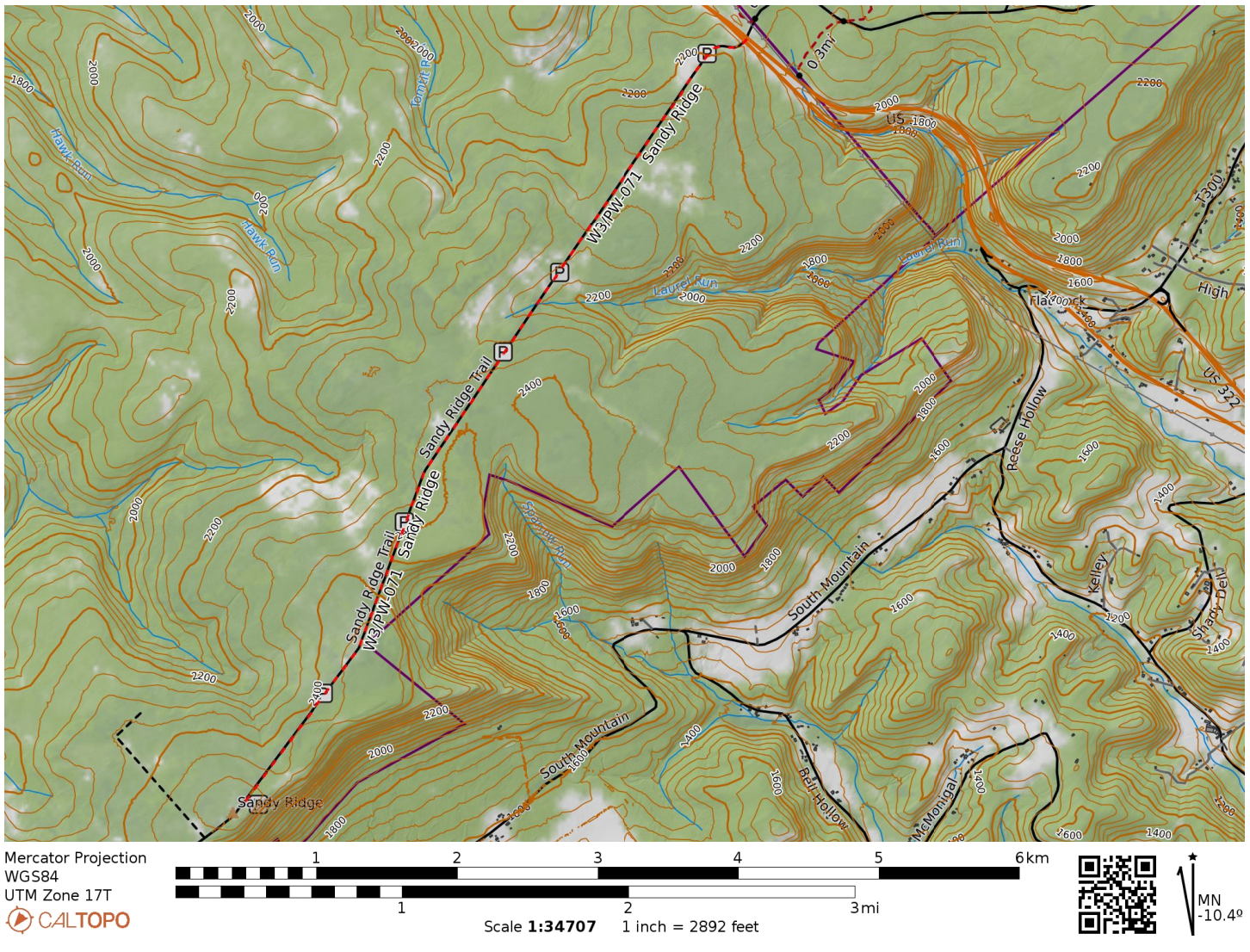
For the second half of fall break, I took a drive to State College to peep at leaves and do some more SOTA. I stopped by Sandy Ridge in State Game Lands 33 in Centre County, driving south along Sandy Ridge Trail road from US-322. After 4 miles of easy gravel road driving, I was in the activation zone.

Entrance to Sandy Ridge Trail from US-322.
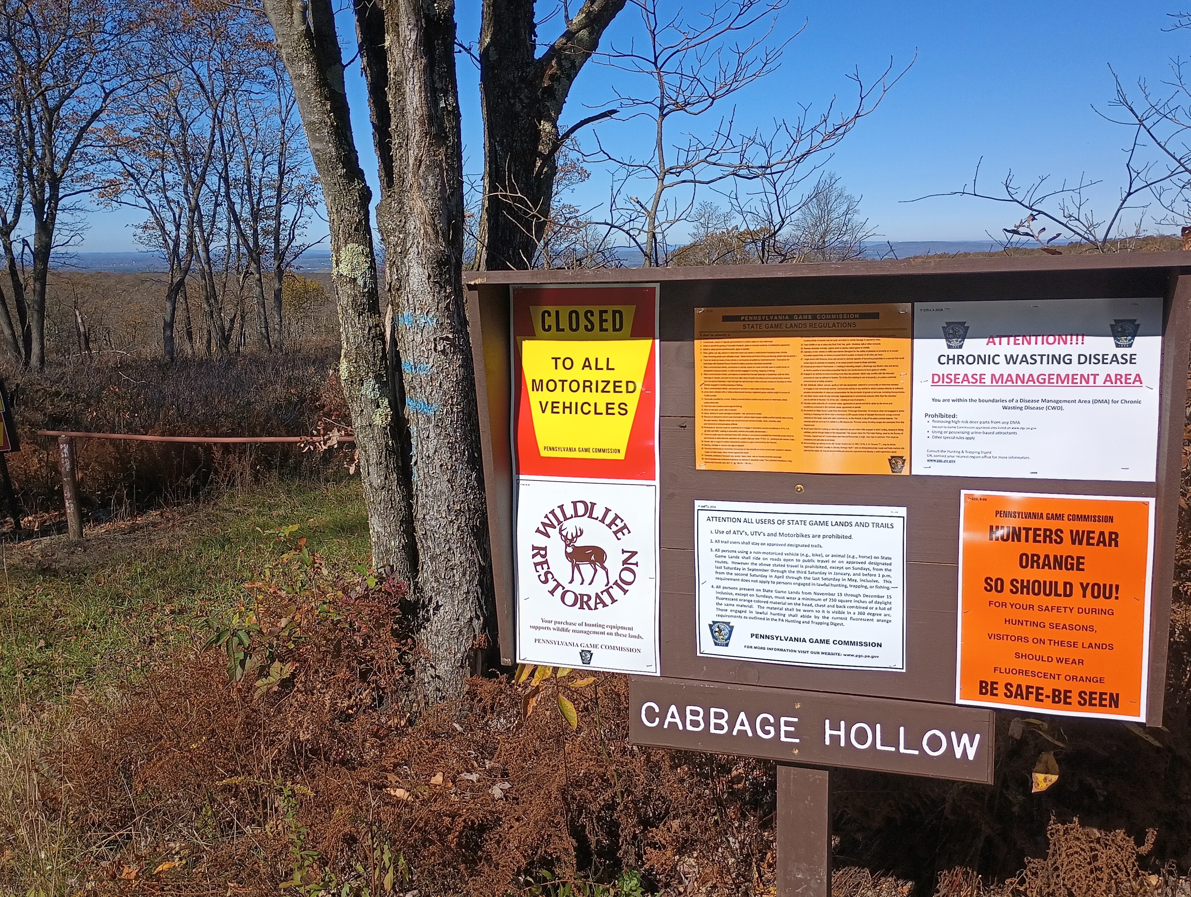
Hunters wear orange — so should you! Many trails go deeper into the game lands from Sandy Ridge Trail.
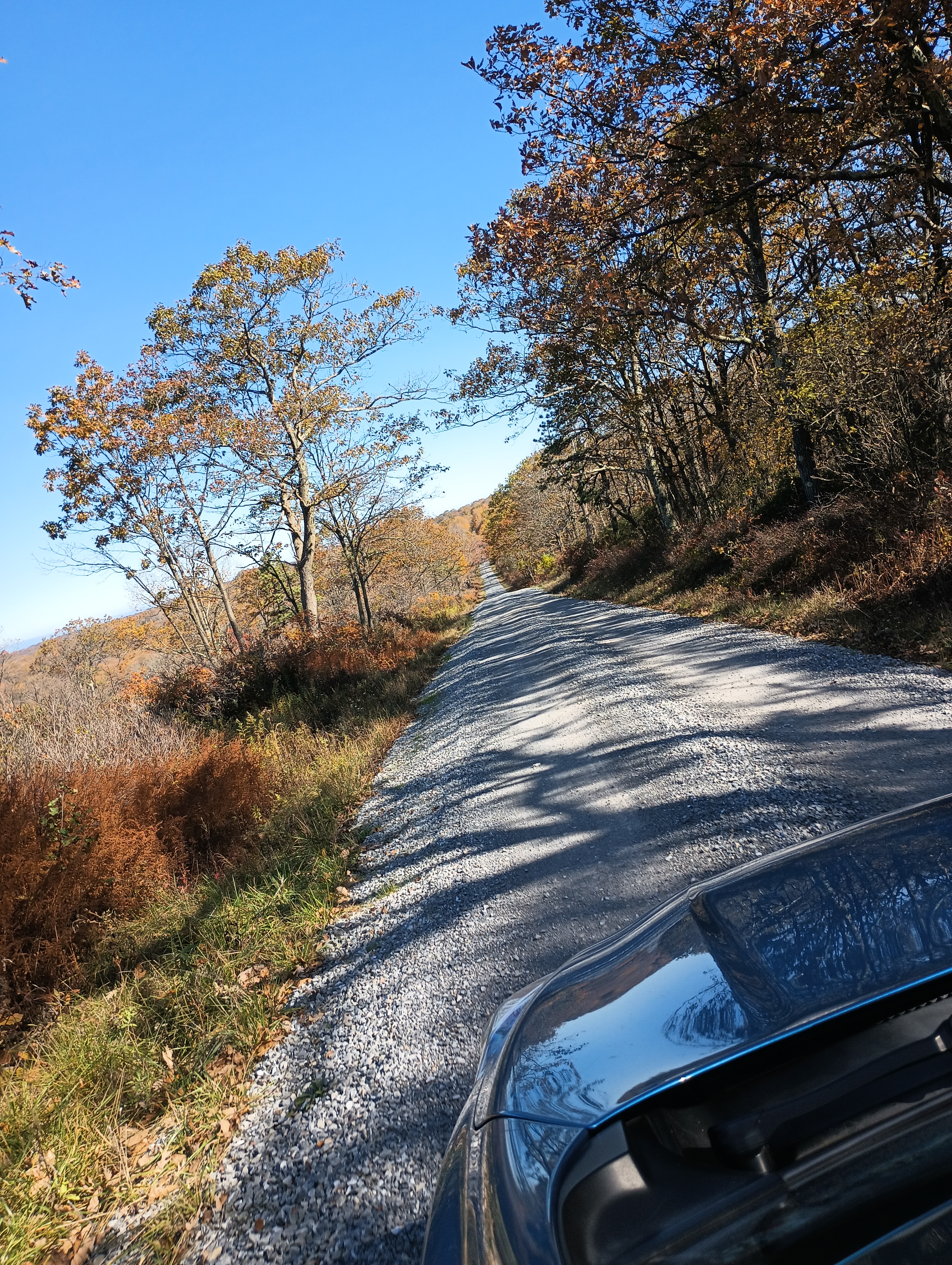
The road was straight and easy to drive on, though a bit narrow for when I had to pass a few trucks.

I had never worked from a game land before, so I wasn’t sure what to expect. Since it was early October, it wasn’t yet rifle hunting season. I still wore blaze orange and did my best to not appear grouse-like (honestly, good policy most of the year). I used a throw line to get my end fed up into a nearby tree in the parking area.

Operating location in the parking area.

The sunspots pulled me into a fugue-like state and I operated for one hour, notching 53 QSOs. Ten meters was crazy. I got a bunch of DX: G4OOE/P on Bishop Wilton Wold (G/TW-004), DL2DXA, DL1HBT, IK4IDF, SQ9IDE, DL1FU, DL1AX, SM0GJN, SP9FMP, OK1KT, EA2BD, CT1HIX, MW0IDX, EA4R, and SV2OXS. Incredible!

  • Trailhead: 40.841634, -78.132874 : Sandy Ridge Trail and US-322
  • Map: [AA3TZ SOTA] – Driving track along Sandy Ridge Trail
  • Route: Drive-on via 4-mile gravel road, good condition
  • POTA: PA 033 State Game Land (US-8732)

W8V/PH-058 Backbone Mountain and Blackwater Falls State Park

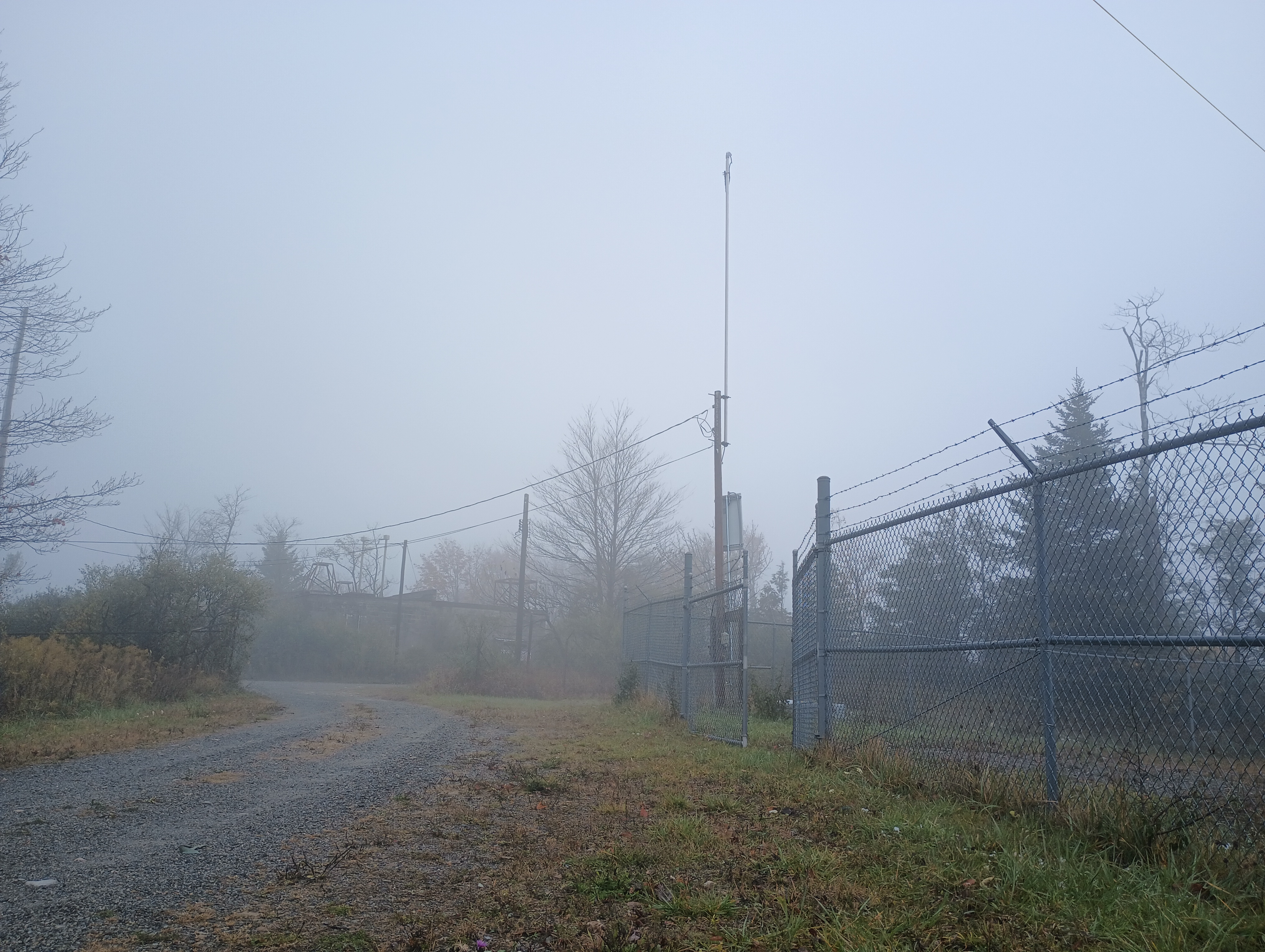
We were staying in Davis, WV to see the leaves during our fall break in mid-October. It was colder than anticipated, and the area got its first snow of the season while we were there! Driving up to Backbone Mountain was simple. We followed US-48 west out of Davis until we reached a parking lot for Fred Long Centennial Park, with large wind turbines nearby. Here we pulled into the gravel road across from this parking spot and followed it the quarter-mile to the summit.

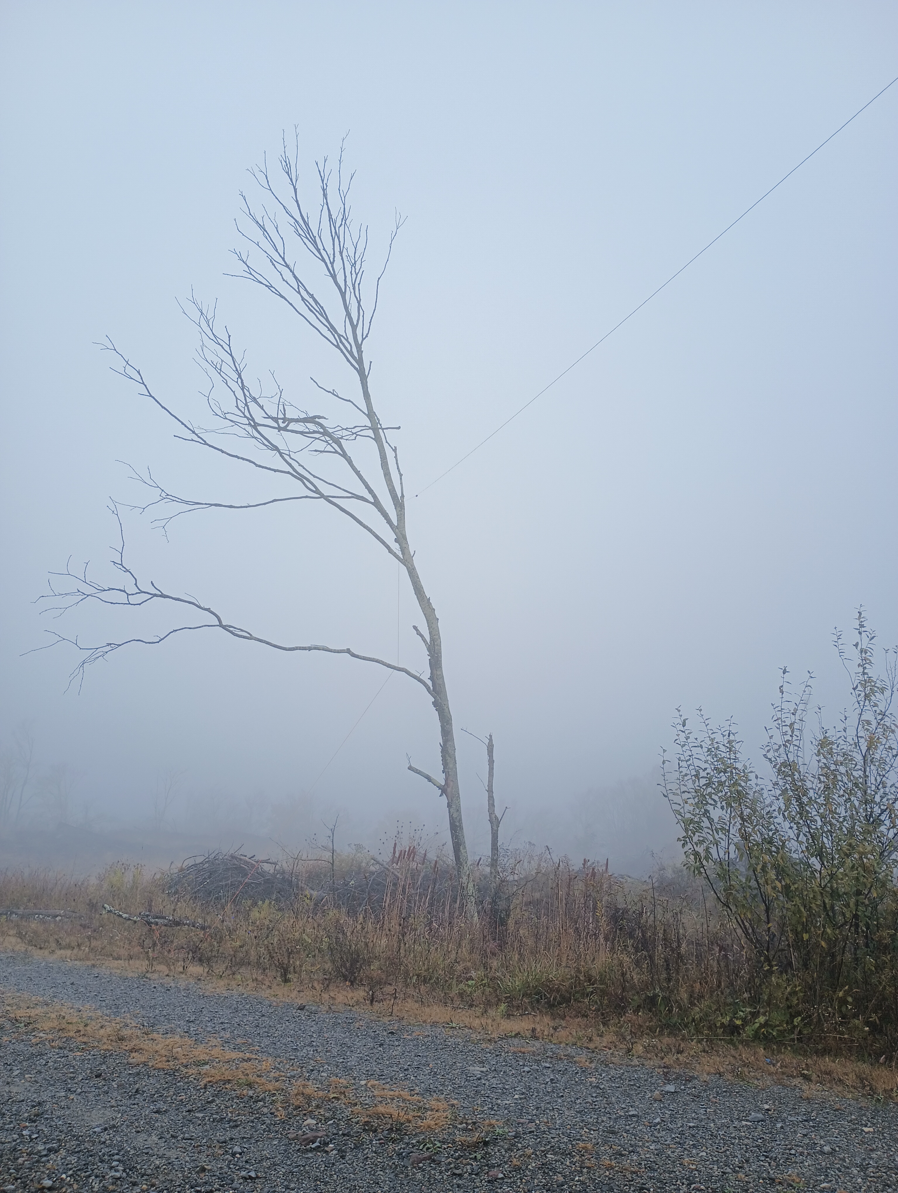
It was very foggy, so there was not much to look at while getting my end fed as high up as I could. After 15 QSOs on 40m and 20m, I had a look at the spotter and I noticed many European stations were on 10m, so I decided to give it a try. To my shock and delight, stations from Europe were booming in, and I was able to work 15 more stations in just over 10 minutes before the mini-pileup had dried up.

10m transatlantic contacts: F4WBN, EA4R, G3VXJ, DJ2MX, G3XBI, SQ9IDE, G4OBK, DL4FDM, and HA7WA

10 meters really is the magic band! I did not use it often when I was more active in SOTA in the Bay Area, as sunspots were on the downswing during those years (2015-2018). I was lucky to get back into the hobby during the peak of Cycle 25!

  • Trailhead: 39.14683, -79.57417 : Gravel road across US-48 from Fred Long Centennial Park
  • Map: [AA3TZ SOTA] – For the driving track
  • Route: Drive-on along quarter-mile gravel road
  • POTA: No, but close to Blackwater Falls State Park (US-1802)

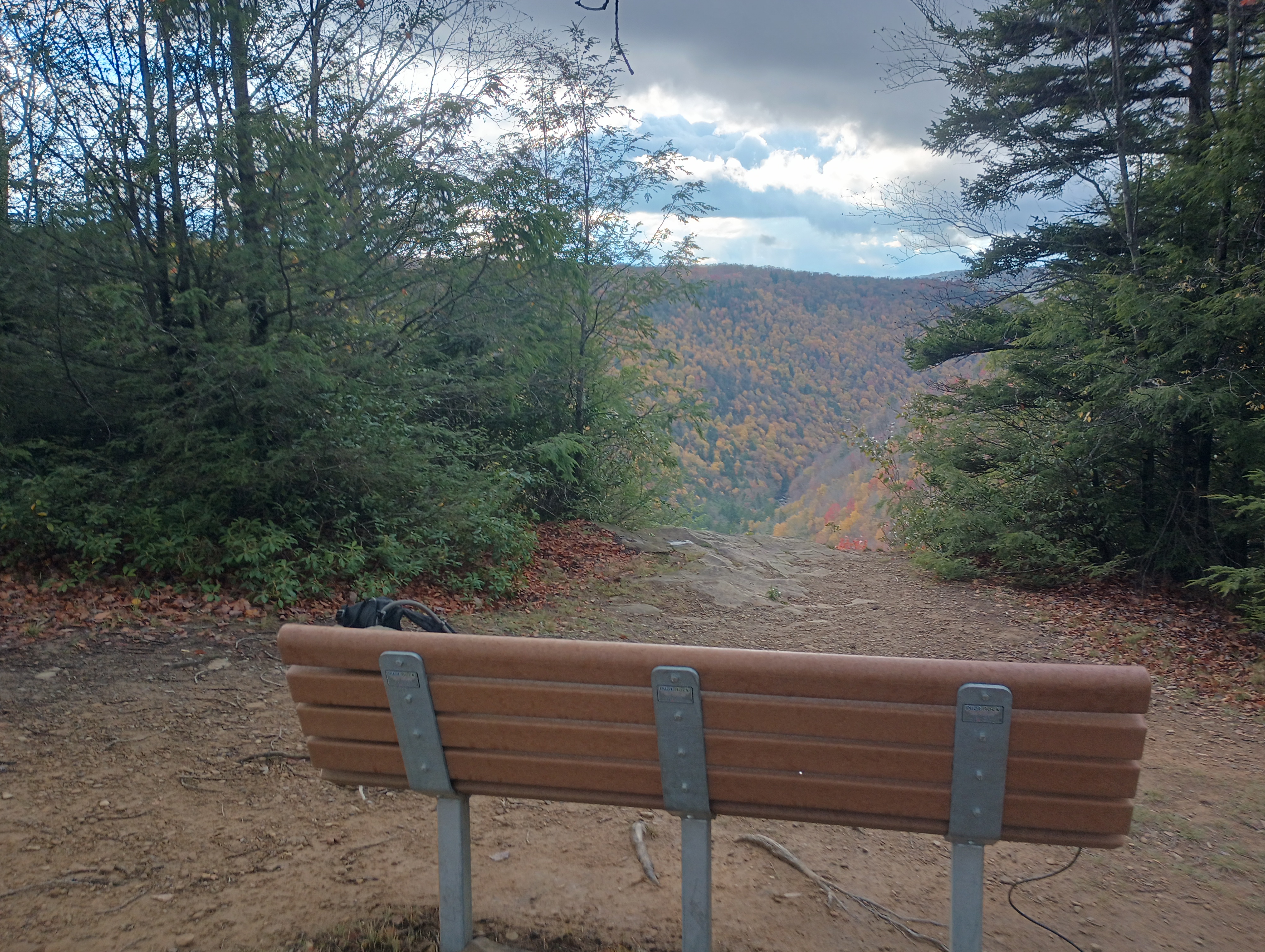
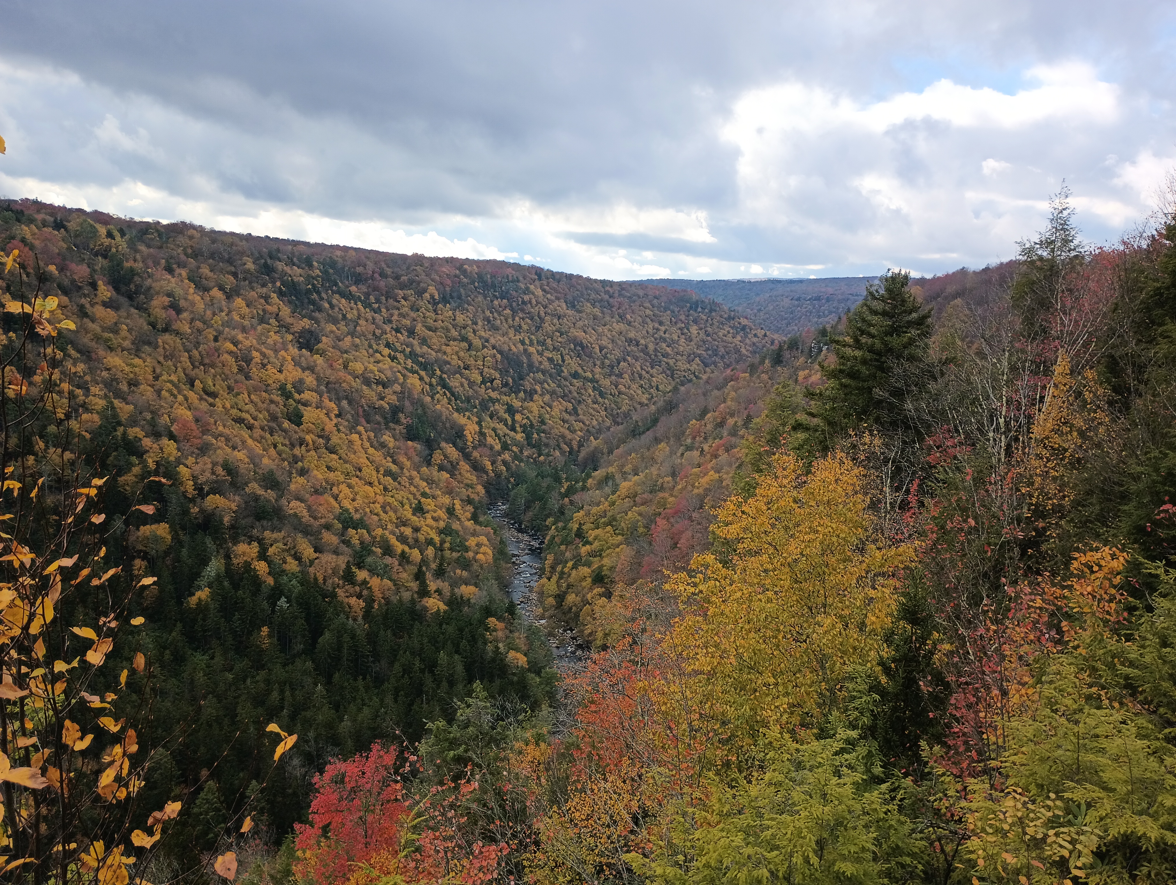
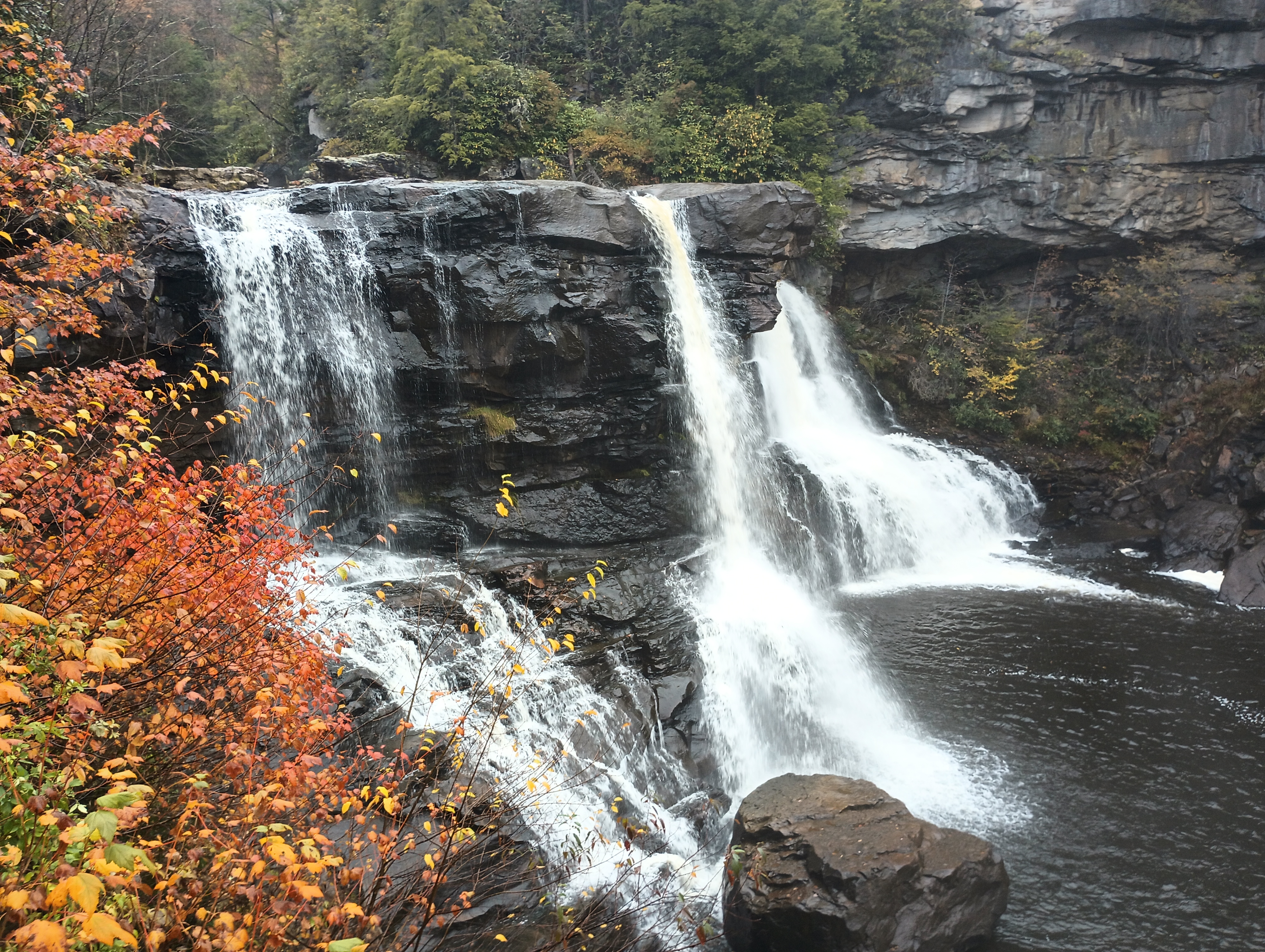
Backbone Mountain is just 10 miles from Blackwater Falls State Park, so I added a POTA activation later that afternoon after the afternoon rain had cleared. I found a bench at the Pendleton Point Overlook to operate from and took in the glorious sights!

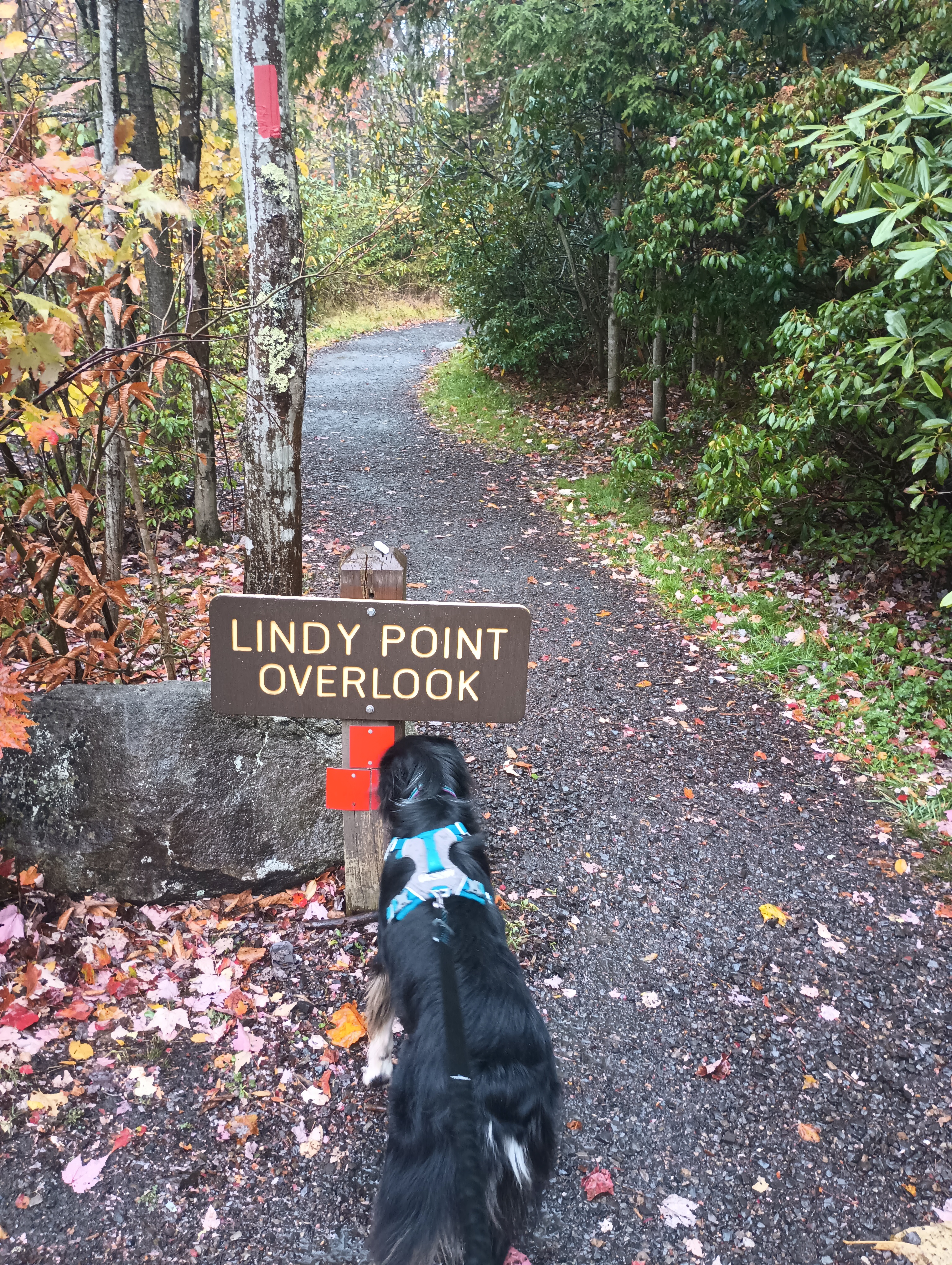
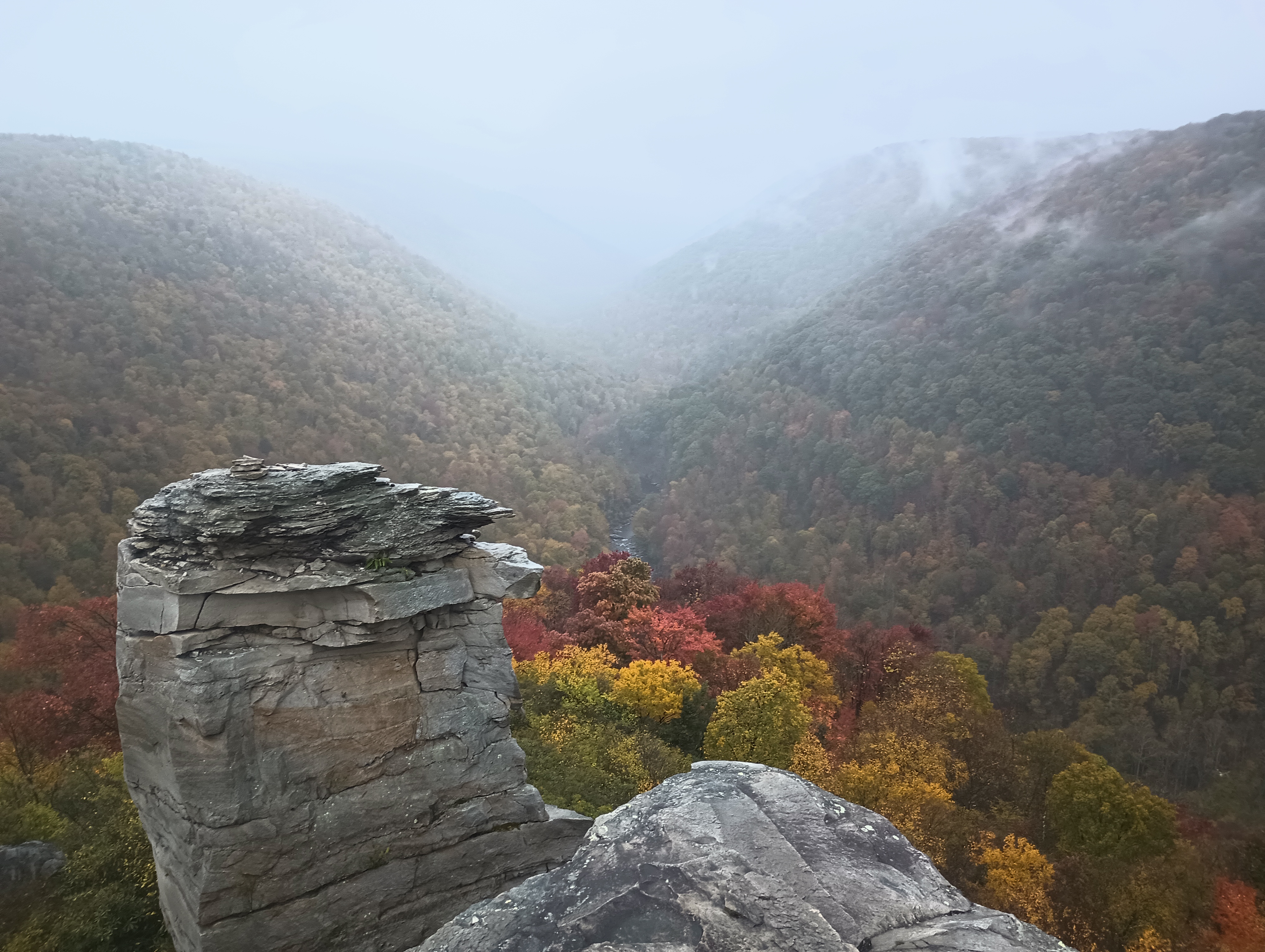
Other good spots in the park were Lindy Point Overlook and Gentle Trail to Blackwater Falls. Rhododendrons are everywhere, and it must be really amazing to be there when they’re blooming.