
This was my last SOTA activation of 2024, in late December. I was avoiding going out due to rifle season, but now that that was over, it was time for one more radio hike. Wills Mountain is a ridge that extends north-south between Pennsylvania and Maryland, located in PA State Game Land 48. You have your choice of two roads when driving there: PA-96/Hyndman Road goes along the west side of the ridge, while US-220 goes along the east side. There appear to be many ways up, though trail options are limited from the PA-96 side, which is the road I happened to use.
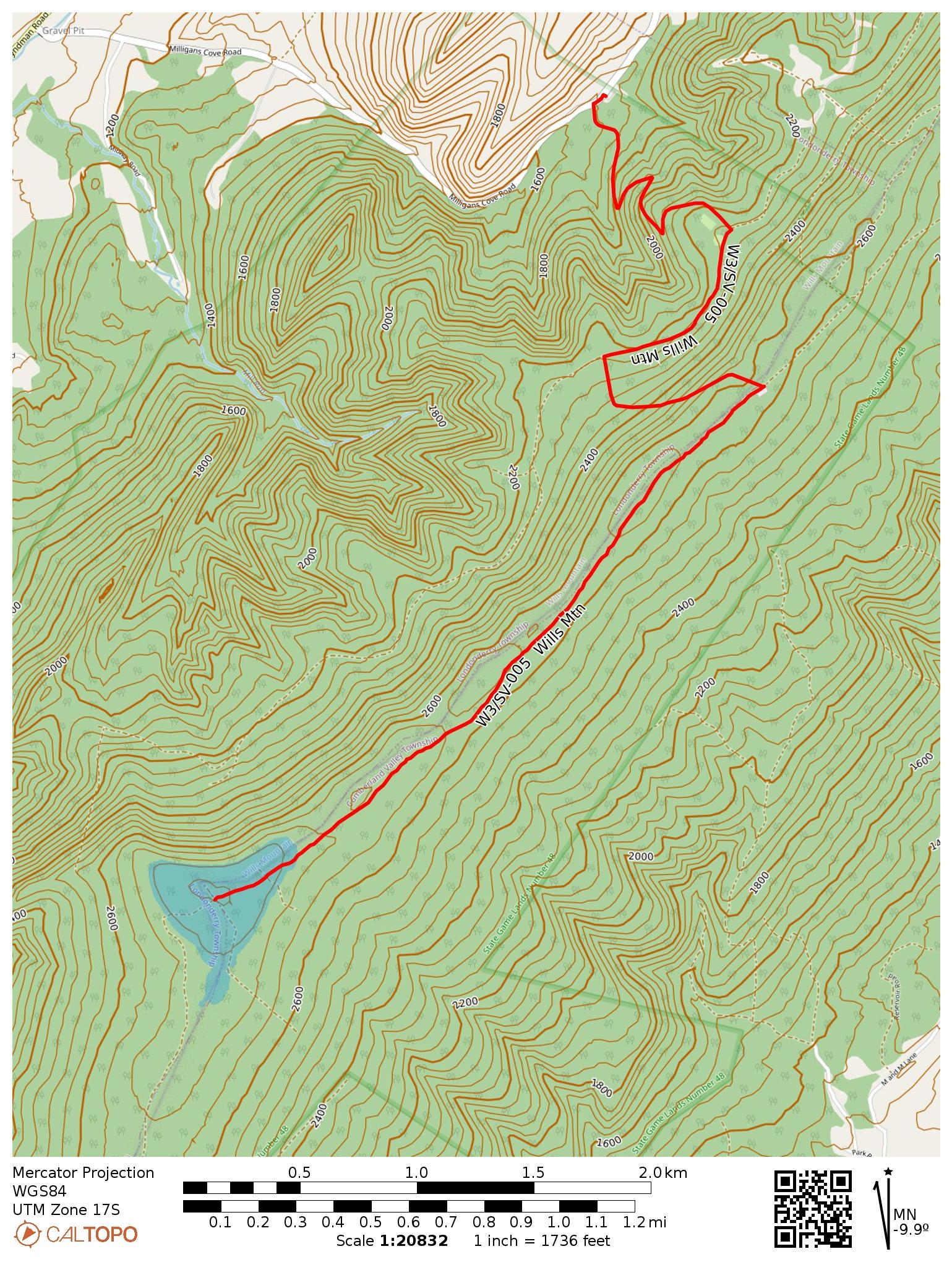
I turned onto Milligans Cove Road to get into the game lands and stopped at a small parking area by a gated dirt road. Here the game lands are divided in two by private property, and going any farther would have gotten me into needless trespassing. I did not have to pass through any gates to get here, so this route should be open outside of hunting season.
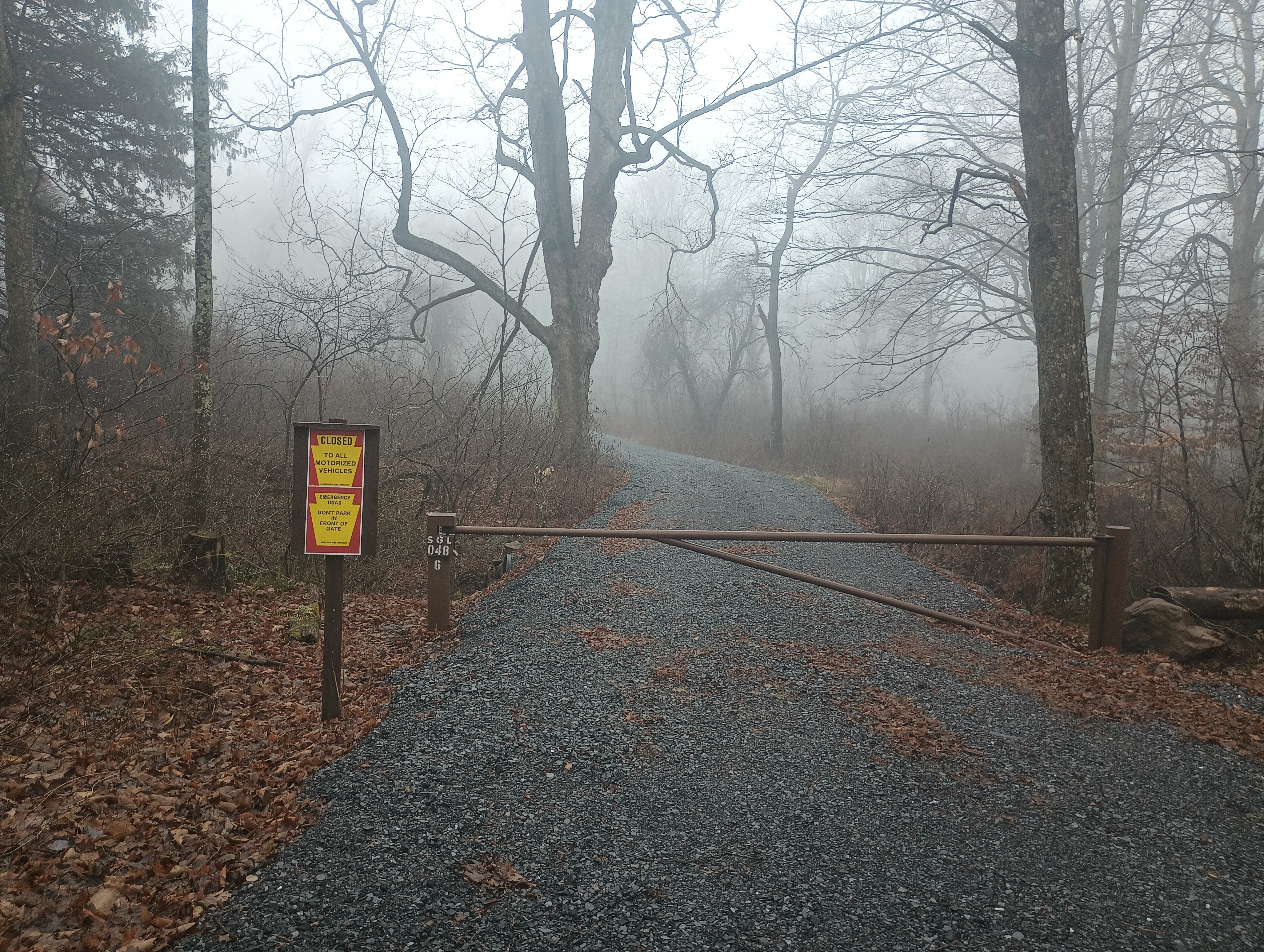
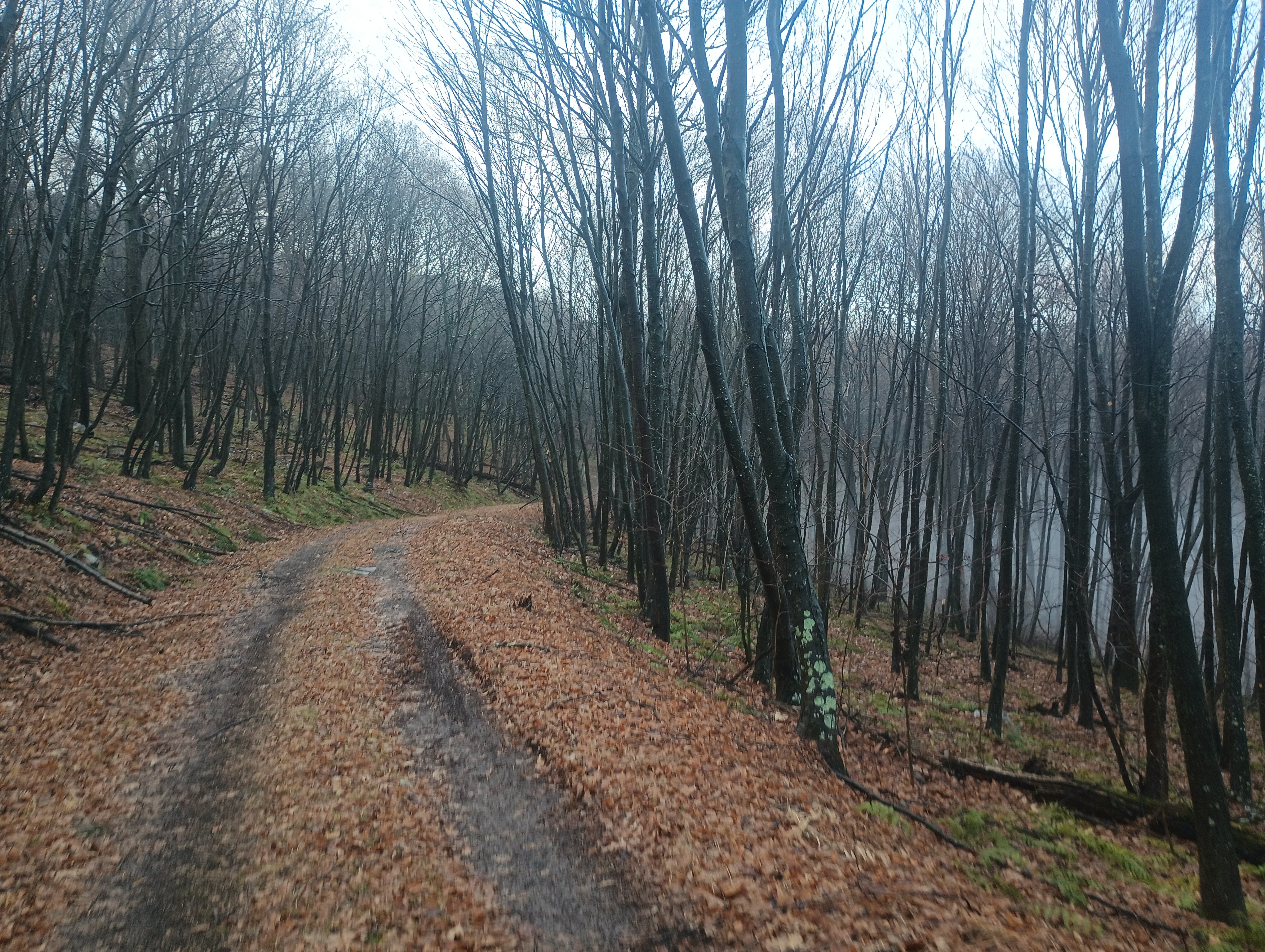
The first mile of the hike was a series of switchbacks up for 550 feet of elevation gain. The trail flattened out for a half mile, then it was another 400 feet of climb until mile 2. Here is a parking area that is open during hunting season, and would be a great place to park, but you have to approach from the east US-220 side of the mountain ridge.
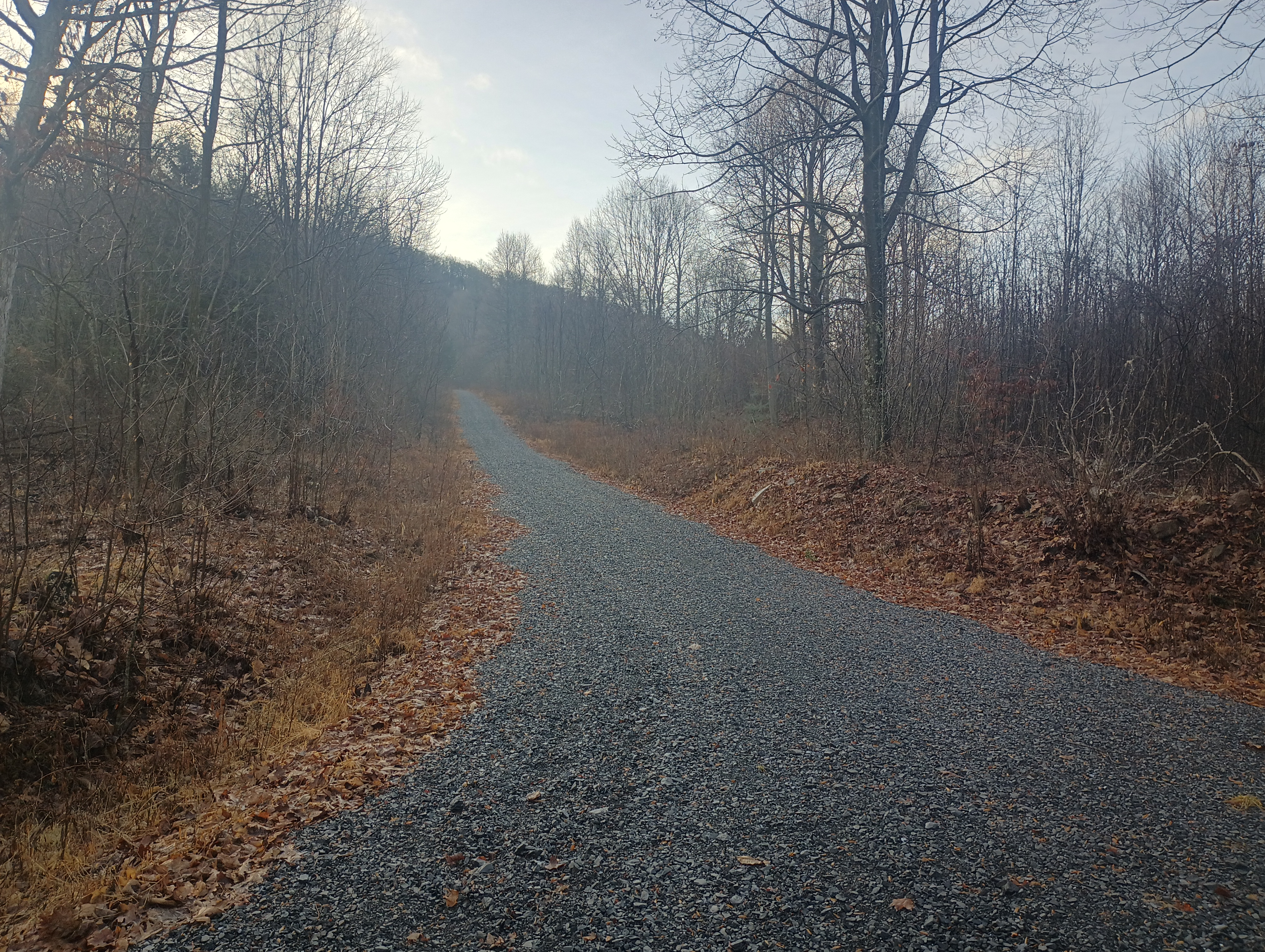
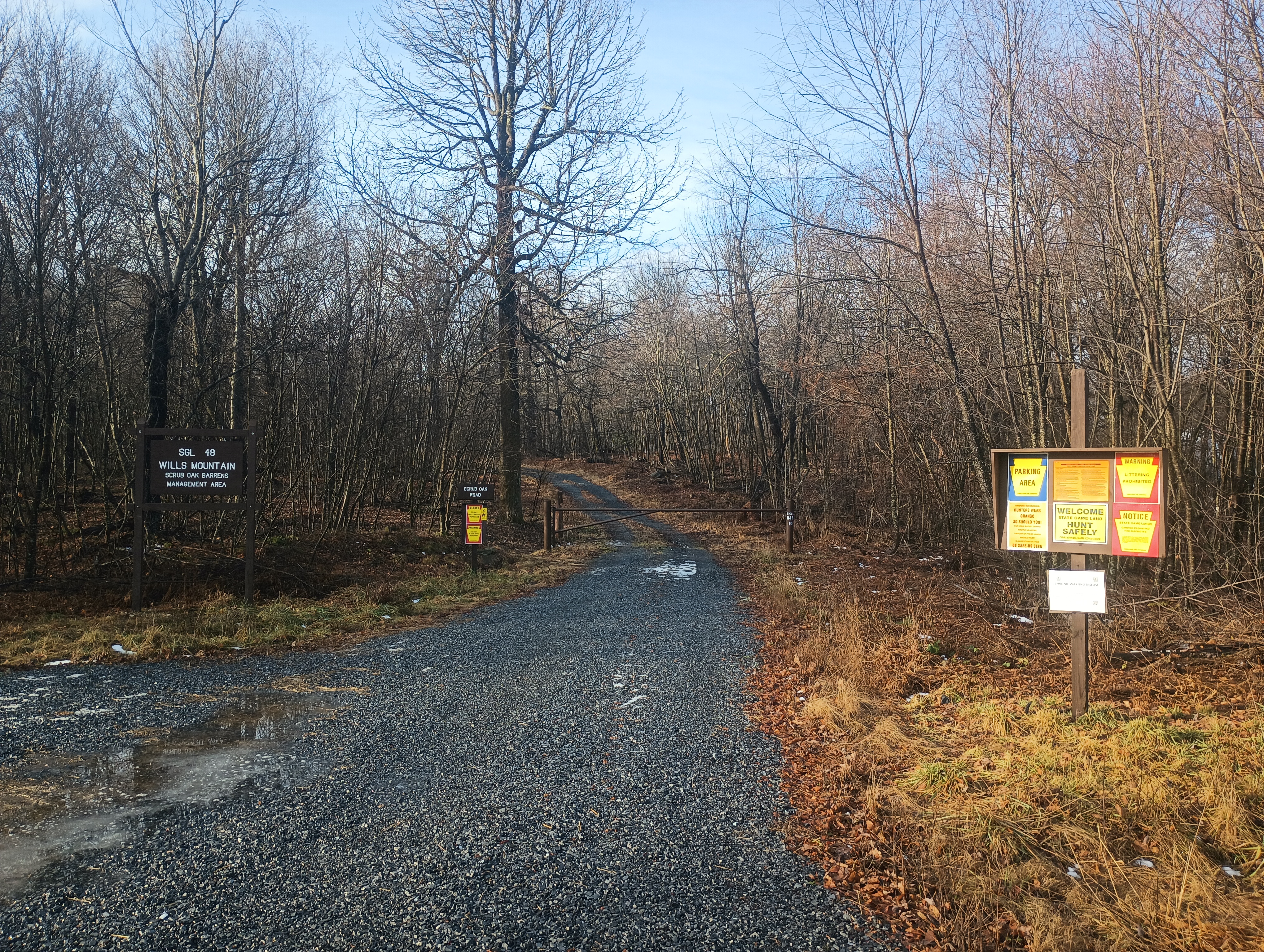
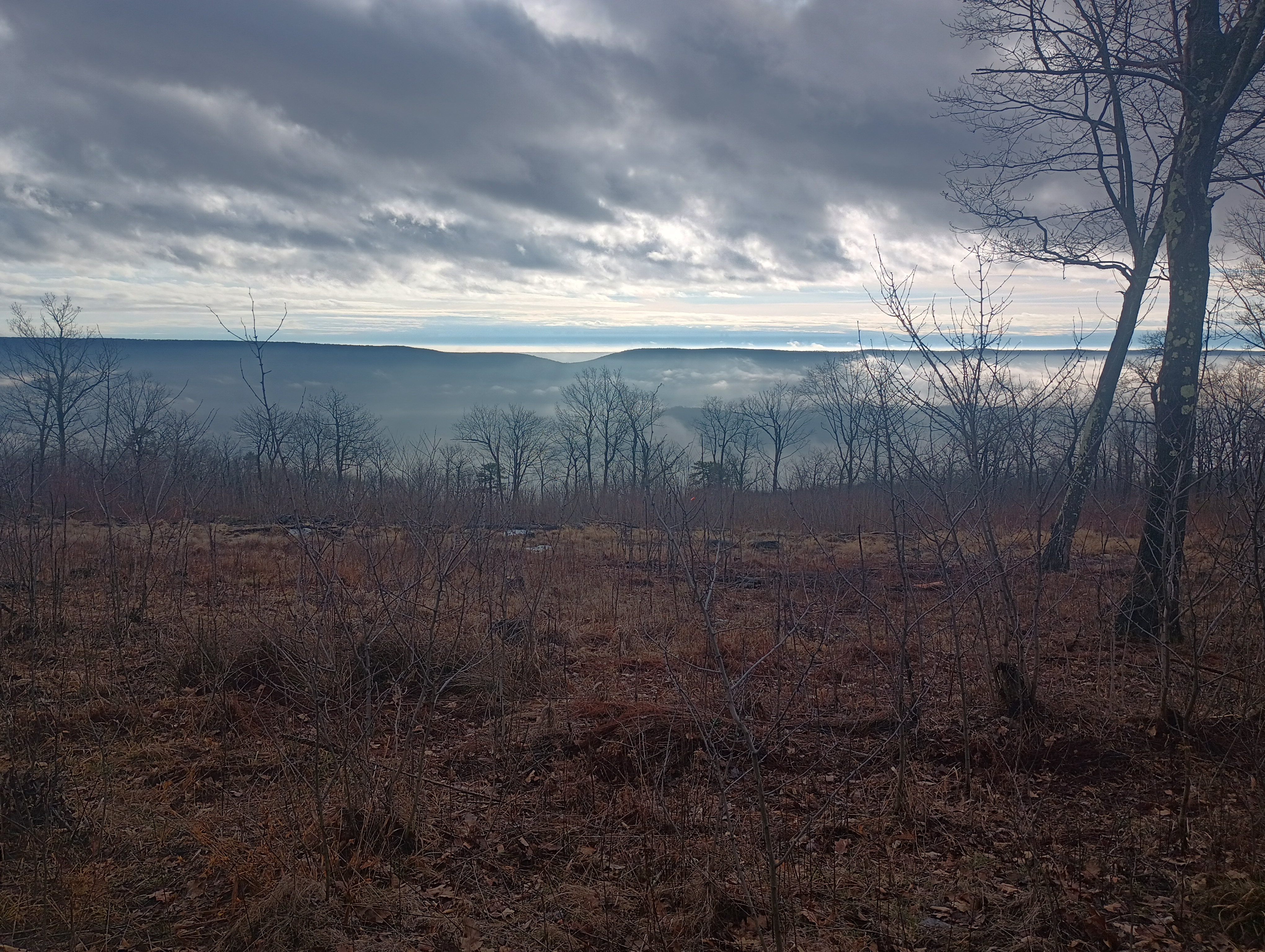
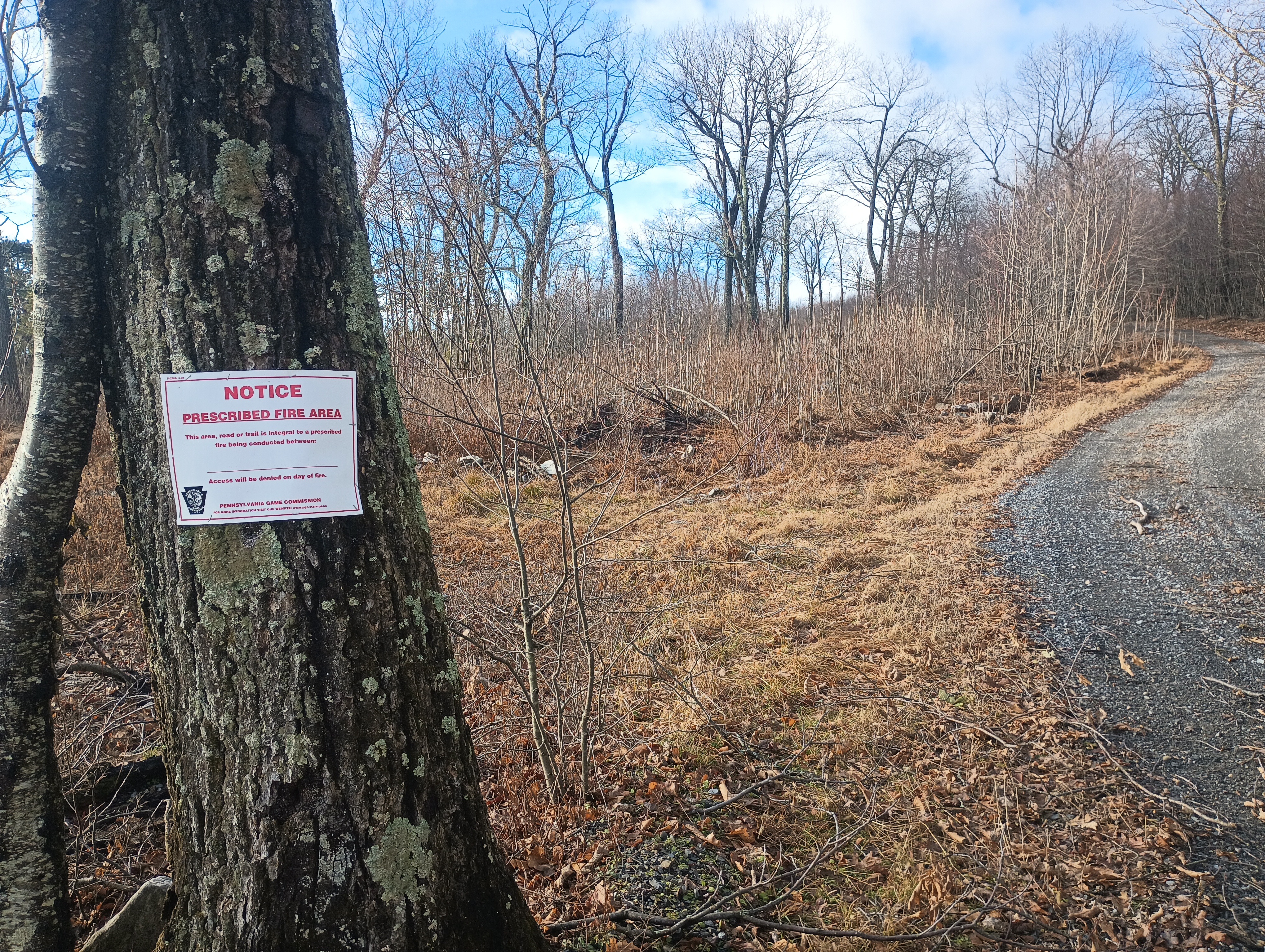
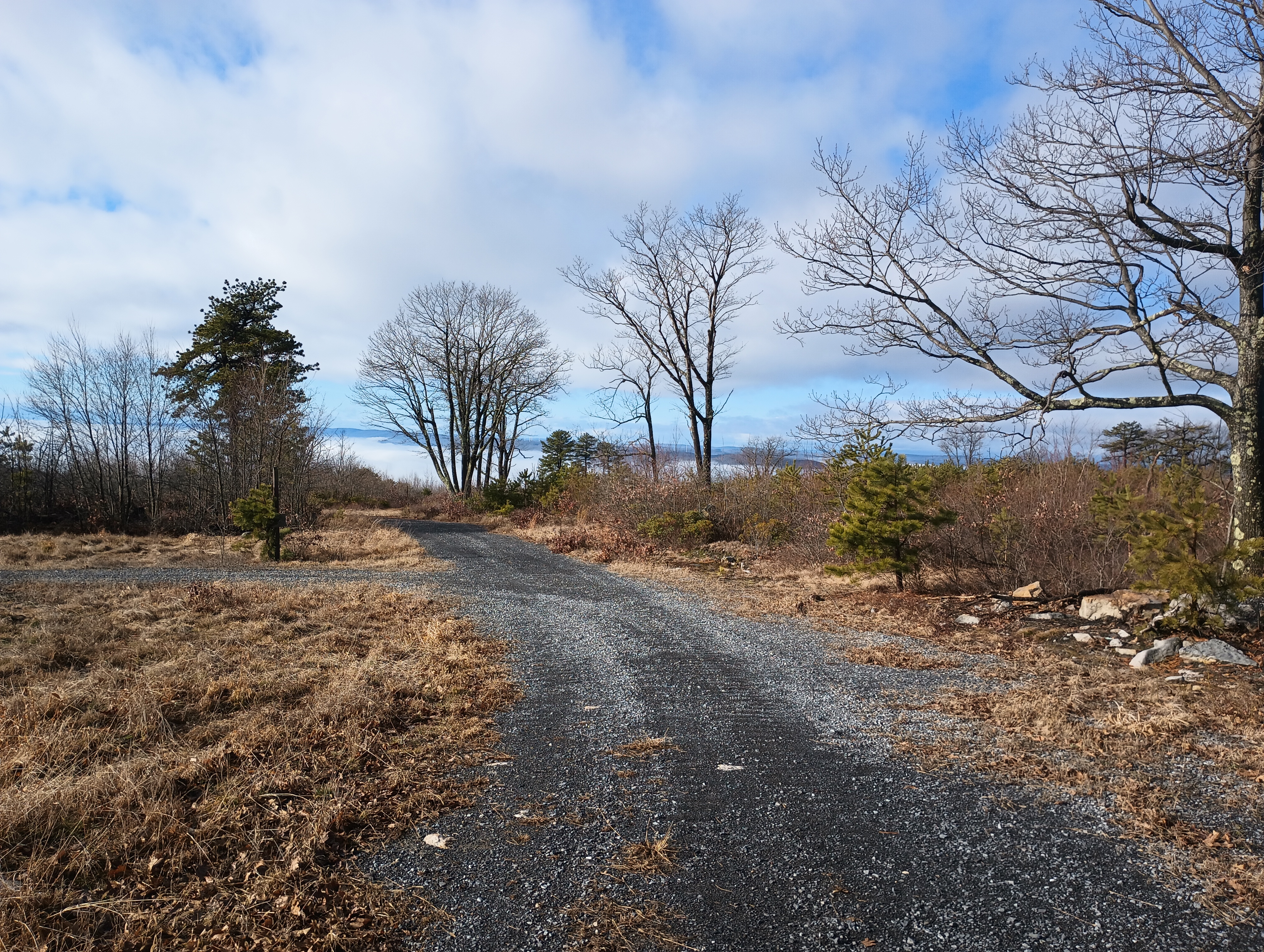
After this, the hike followed the Wills Mountain ridge for 2 miles. From here, I had a cool breeze. This is a controlled burn area, so there are some wonderful views of the surrounding hills in the cleared parts. At the summit are plenty of trees for throwing up wires.
Since this was one of the last days for the 2024 10m SOTA challenge, I started on 10m, picking up some DX: F4WBN, IK5DAK, and M1EYP/P on G/SP-015 The Cloud. I also worked WN2G S2S on W3/PW-038 Jefferson County Highpoint on 40m, which is on my to-do list of nearby SOTA peaks. I did not linger too much longer since I was hearing continuous hunting fire in the distance (or perhaps it was a shooting range), so I wrapped with 14 QSOs.
I had planned to follow this up with an activation of nearby W3/SV-006 Martin Hill, but I had to rush back for dinner plans, so that became a POTA activation of Buchanan State Forest instead. I’ll be back!
- Trailhead: 39.87622, -78.66157 : State Game Land 048 parking area. (39.86477, -78.65392 is another parking area open during hunting season that cuts off 4 miles RT.)
- Map: [AA3TZ SOTA] [PA 048 State Game Lands Map]
- Route: 8 mile out-and-back hike, first half along dirt road denoted “Special Trails” on the SGL map, then second half on an unimproved gravel road.
- POTA: PA 048 State Game Land (US-8747)
 Tom Zajdel