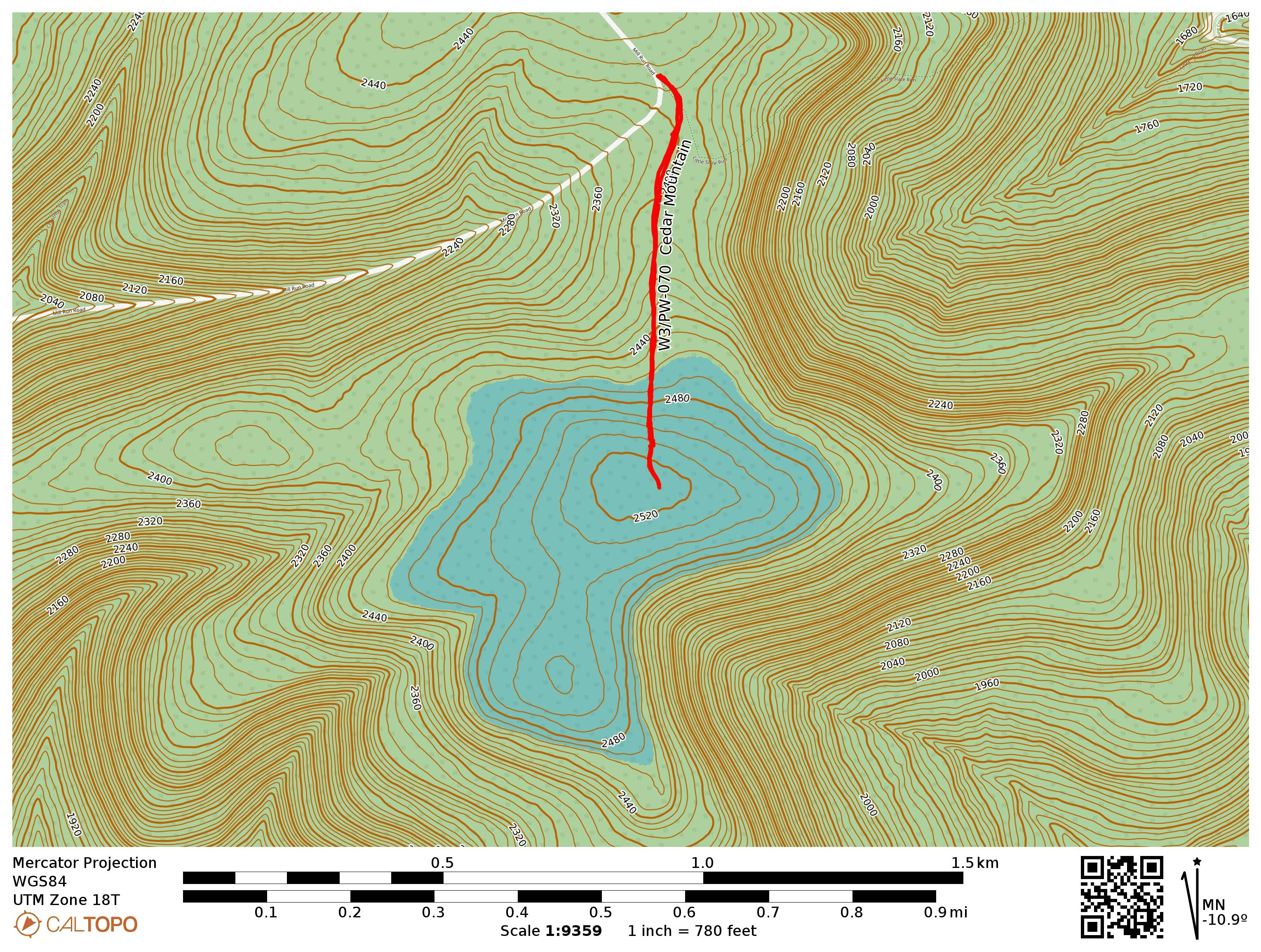
After tackling Mt Tom in the morning, I headed over to this second, 1-mile round trip activation, also in Tioga State Forest. I parked at the side of Mill Run Road, by a gated access road that runs due south to a radio transmitter site. Now that it was mid-afternoon, I noticed that I was not doing great on 40m, so most of this activation was on 20m. I worked an S2S with KT0A on W0D/BB-006 and W7UM on W0C/FR-019, both on 20m.
Trailhead: 41.66459, -77.50264 : Gated access road off of Mill Run Rd
Route: 1.0 mi RT hike, ~200 feet elevation along access road
POTA: US-5478, Tioga State Forest
After this one, I went on a POTA rove, activating several of the PA Wilds state parks: Lyman Run SP, Denton Hill SP, and Patterson SP. I just went for 10-12 QSOs at each, picking up quickly to move on to the next one. I think Patterson is a great alternative to Cherry Springs for dark skies access, and the campsite seems much less crowded.
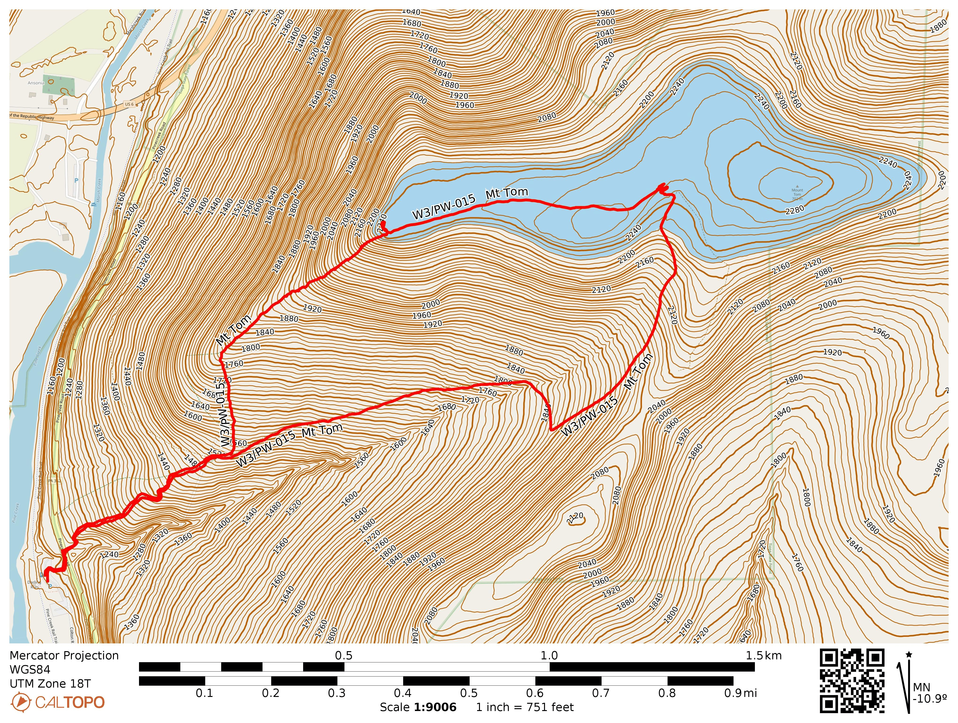
I parked at the Darling Run access of the Pine Creek Rail Trail, and there was a signpost for the hike towards the northeast end of the parking lot. There are also some toilets at the parking lot, just in case! A few steps into the trail, I crossed PA-362 and started on the bulk of the hike. Yellow blazes mark the trail well, and it seems relatively highly used. Not too overgrown like many lesser-traveled footpaths at this time of year.
About 0.4 mi into the hike is a choice to go the steep and shorter way or the not-so-steep but longer way. I decided to take the steep path up and that resulted in a climb of 750 feet over those 0.6 miles, over a 20% grade on average. That was…pretty tough. I saw some mushrooms and a road on the way. Evidently the mushrooms I caught bioluminescent in darkness.
At the top is a vista point that is just on the edge of the AZ. The hike becomes a pleasant walk east along the ridge, though here the grass had gotten tall. I hiked towards the summit and operated near the terminus of the return trail.
The hike down was less relentlessly steep, but it still would be quite the climb. It follows an old road that isn’t really blazed, so the trail is wider but it’s a bit less scenic.
Trailhead: 41.73633, -77.42913 : Pine Creek Rail Trail – Darling Run Access