
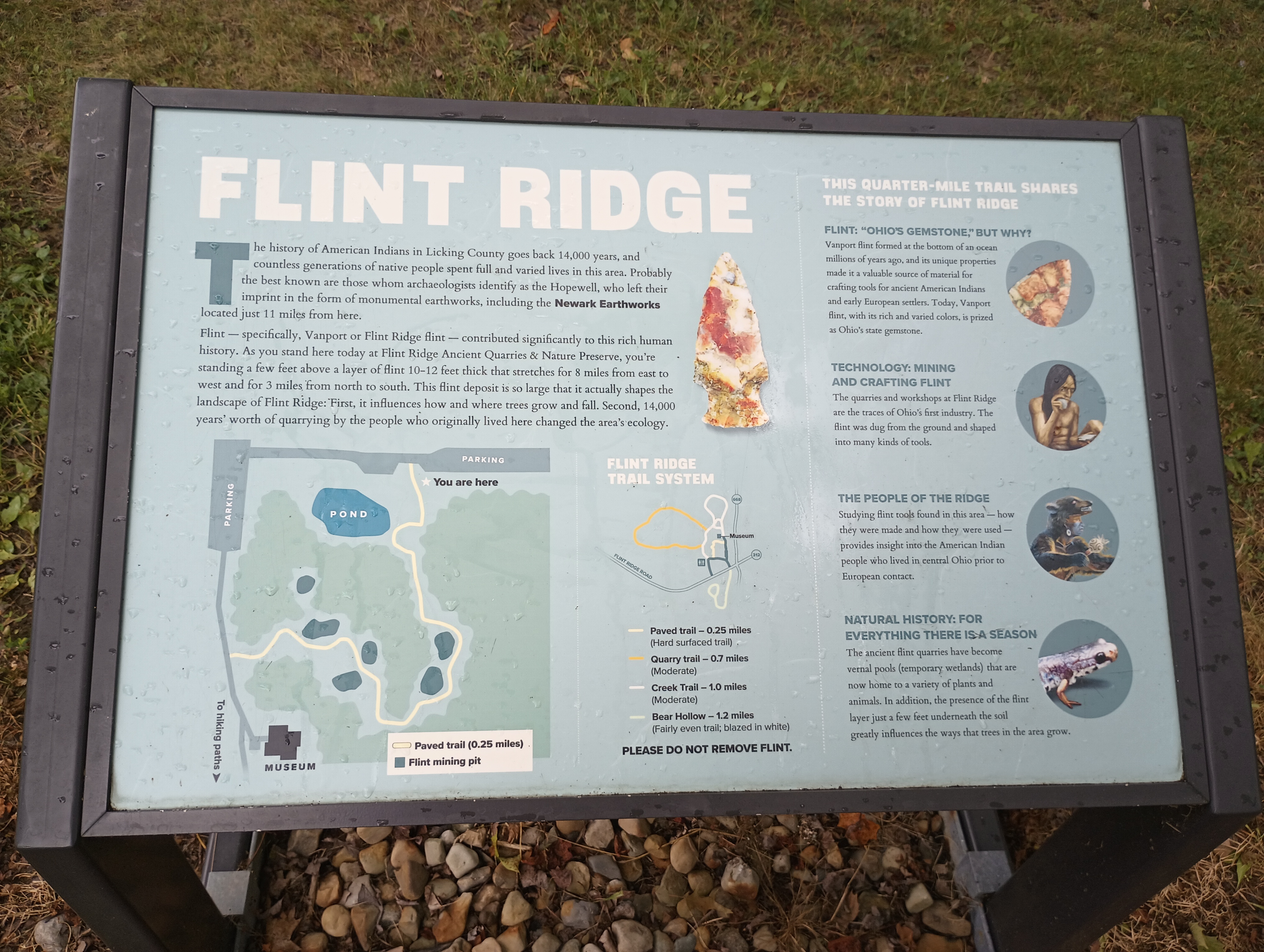
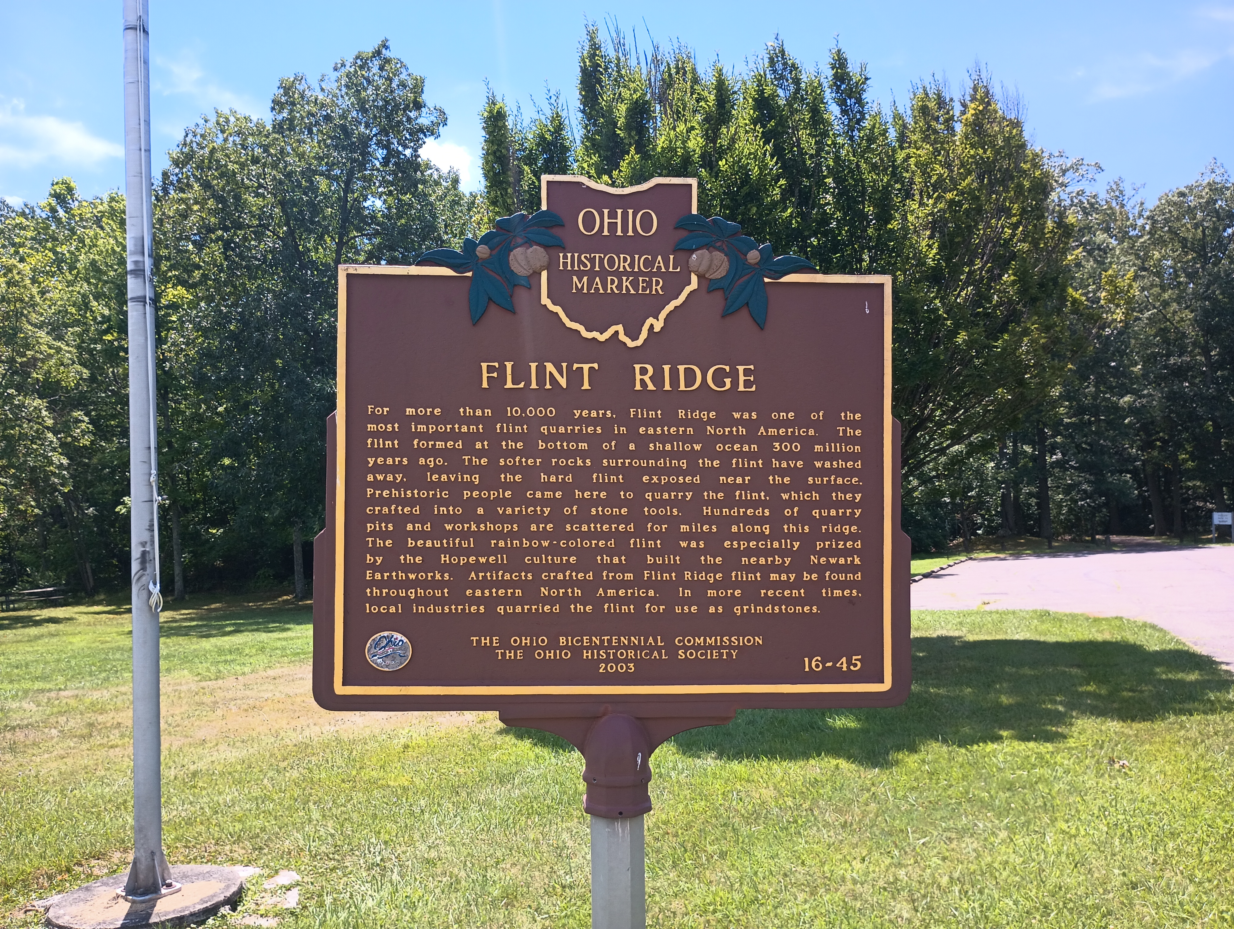
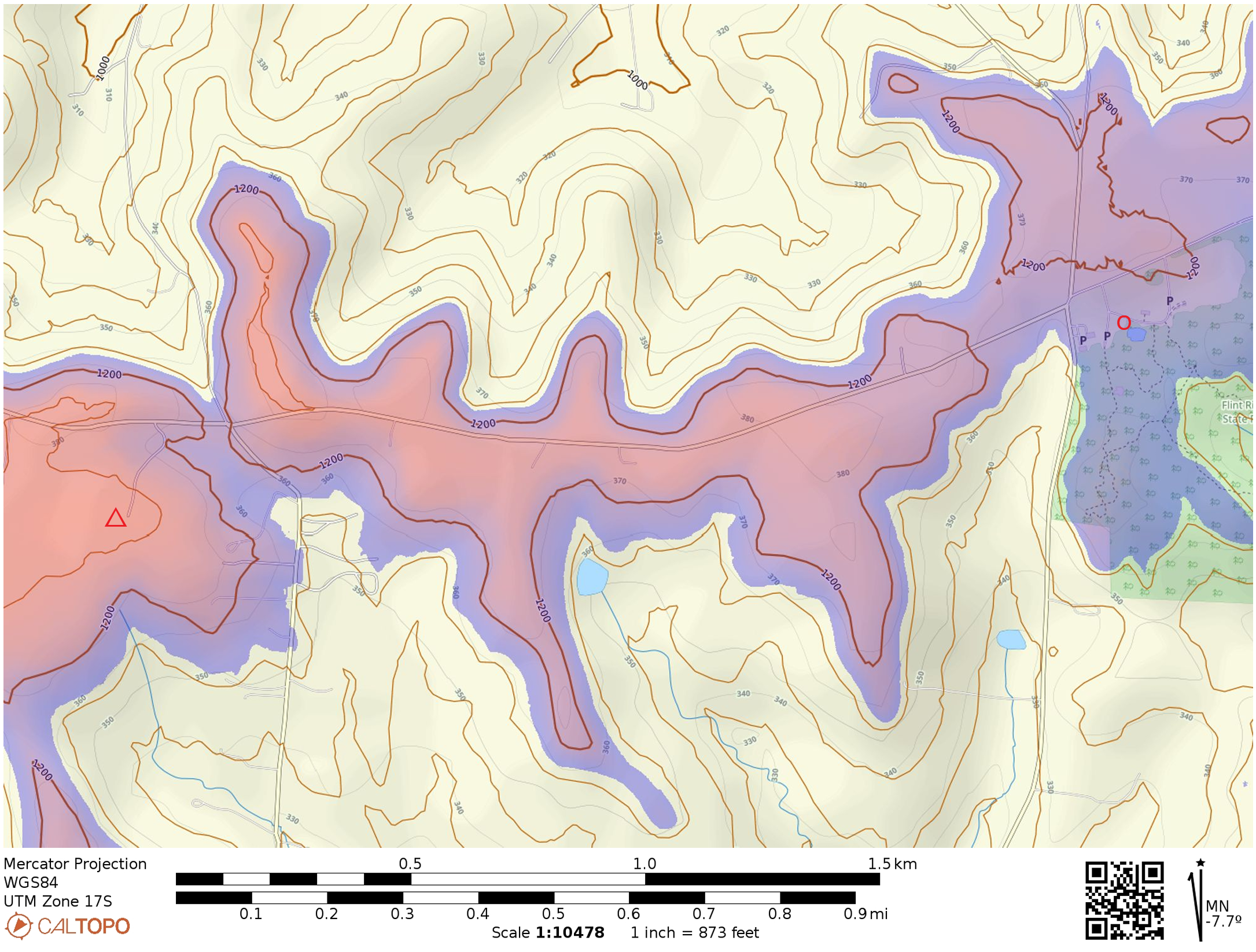
This was a quick one on a drive from Cincinnati to Pittsburgh. As reported by others, Flint Ridge Memorial State Park is a short detour north of I-70, taking less than 10 minutes to get to the park from the highway. The picnic area by the parking lot is within the activation zone, so this feels a bit more like a POTA activation since there is no hike to a summit. The actual peak is about a mile west of the park, evidently in somebody’s backyard. The titular Flint Ridge is an 8-mile-long vein of flint that was quarried by the Hopewell people in ancient times.
The highlight of this activation was working sideband summit-to-summit contacts with Martha W0ERI and Gary W0MNA on W0D/BB-089 in South Dakota. They’ve chased me on many of my activations, so it was neat to get them in my chaser log as well!
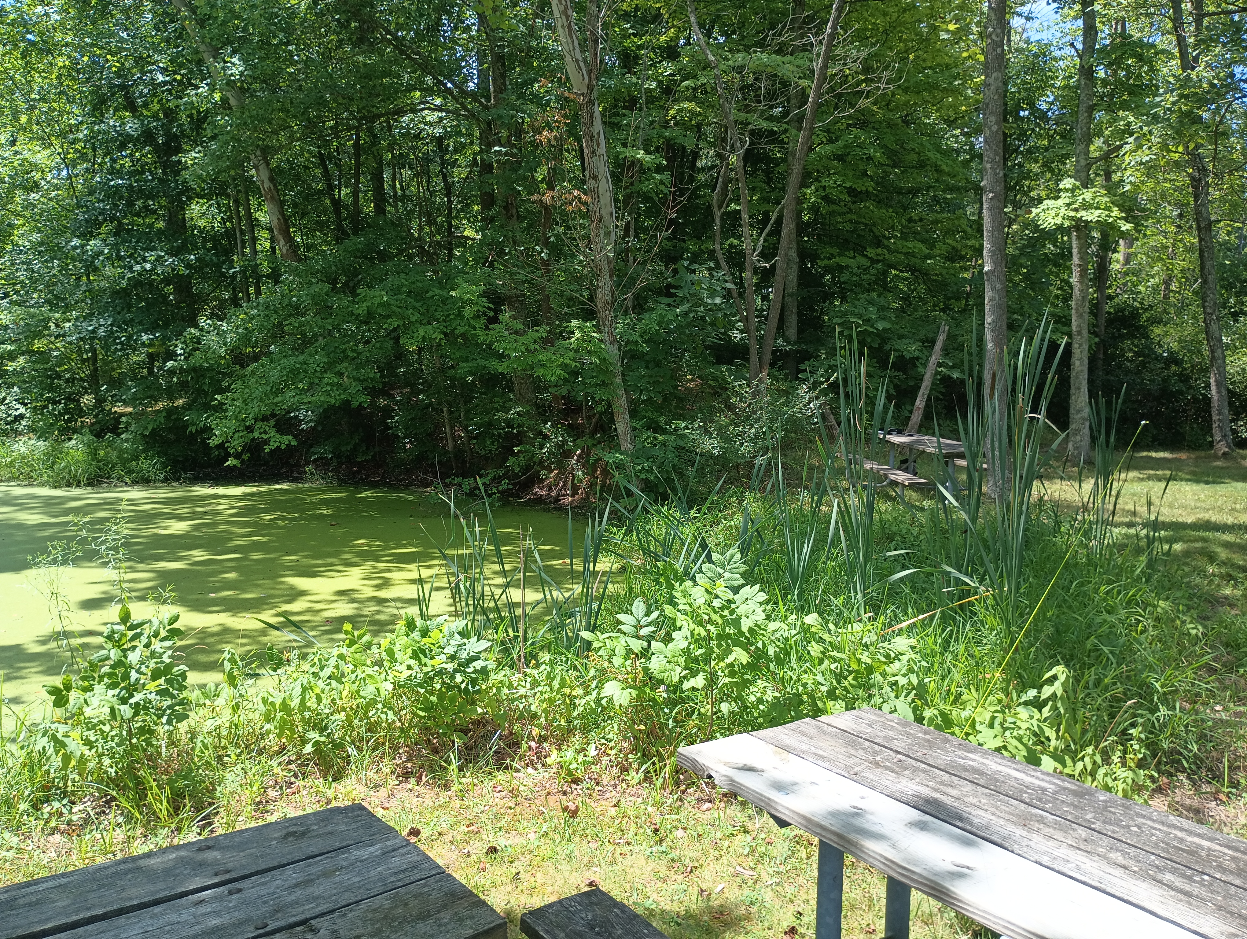
There is a museum about the ancient flint quarry at this site, but it was closed since I was there on a Monday. I just set up at a park bench next to the lake and operated. Seems like there would be more to check out on a longer visit in the future. This also feels like it has the potential to become a state park (i.e. a POTA park), but is not yet one. It’s also close to the Newark Earthworks, which I will definitely visit on my next pass through!
- Trailhead/Parking: 39.988759, -82.261710 : Flint Ridge State Park lot; 15300 Flint Ridge Road, Glenford, OH, USA
- Maps: [AA3TZ SOTA]
- Route: No hike needed; a few options for hikes in the park ranging from 0.25 miles to 1.2 miles
- POTA: The park is managed by Ohio History Connection, not the state, so this does not have a POTA designator.
 Tom Zajdel