W3/PD-012 Broad Mtn

This was my last activation from a string of activations along Eastern PA. I parked in the Halderman tract of Weiser State Forest, arriving from White Oak Road. I parked here and took a short hike along Wolf Pond Trail and Rim Trail into the activation zone. An alternative is to drive south along Wolf Pond Road, a well-groomed gravel road that extends all the way into the AZ.
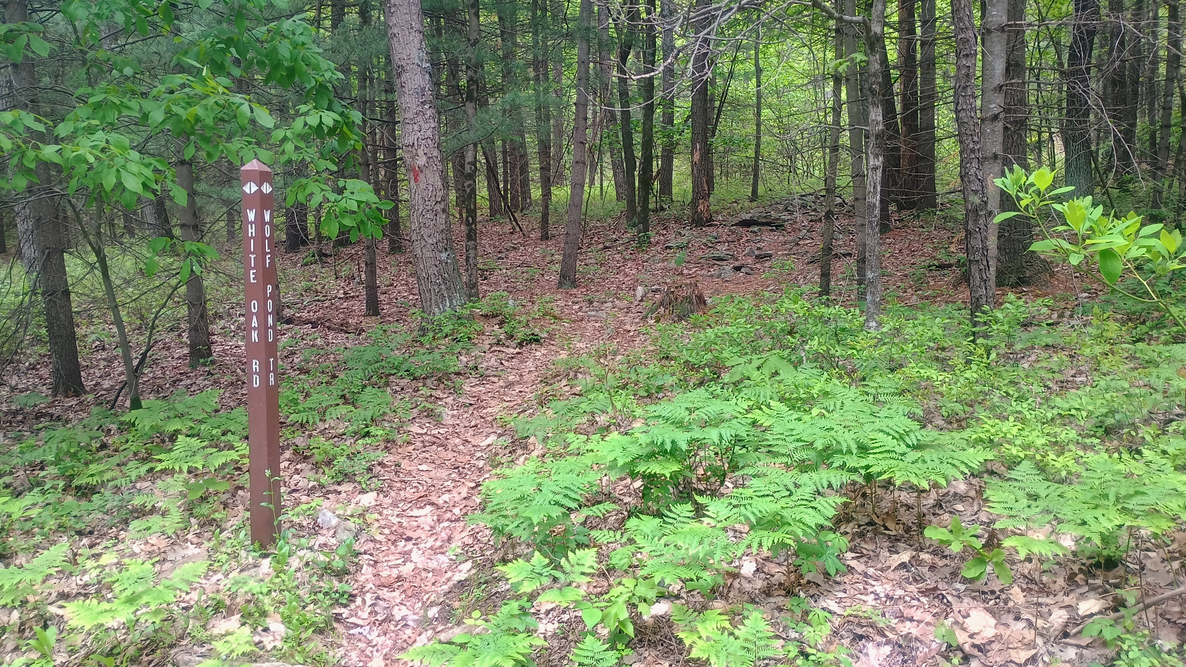
Trailhead for Wolf Pond Trail, which is marked with red blazes.
Mountain laurel buds were visible and growing for the early summer bloom.
The turn onto Rim Trail.

After a short walk on Wolf Pond Trail, I turned to follow Rim Trail west, which looked like yet another gravel road, though a bit more overgrown. After following this for the bulk of the hike, I came to Boundary Line Trail, a gravel path that sharply climbs up into the AZ.
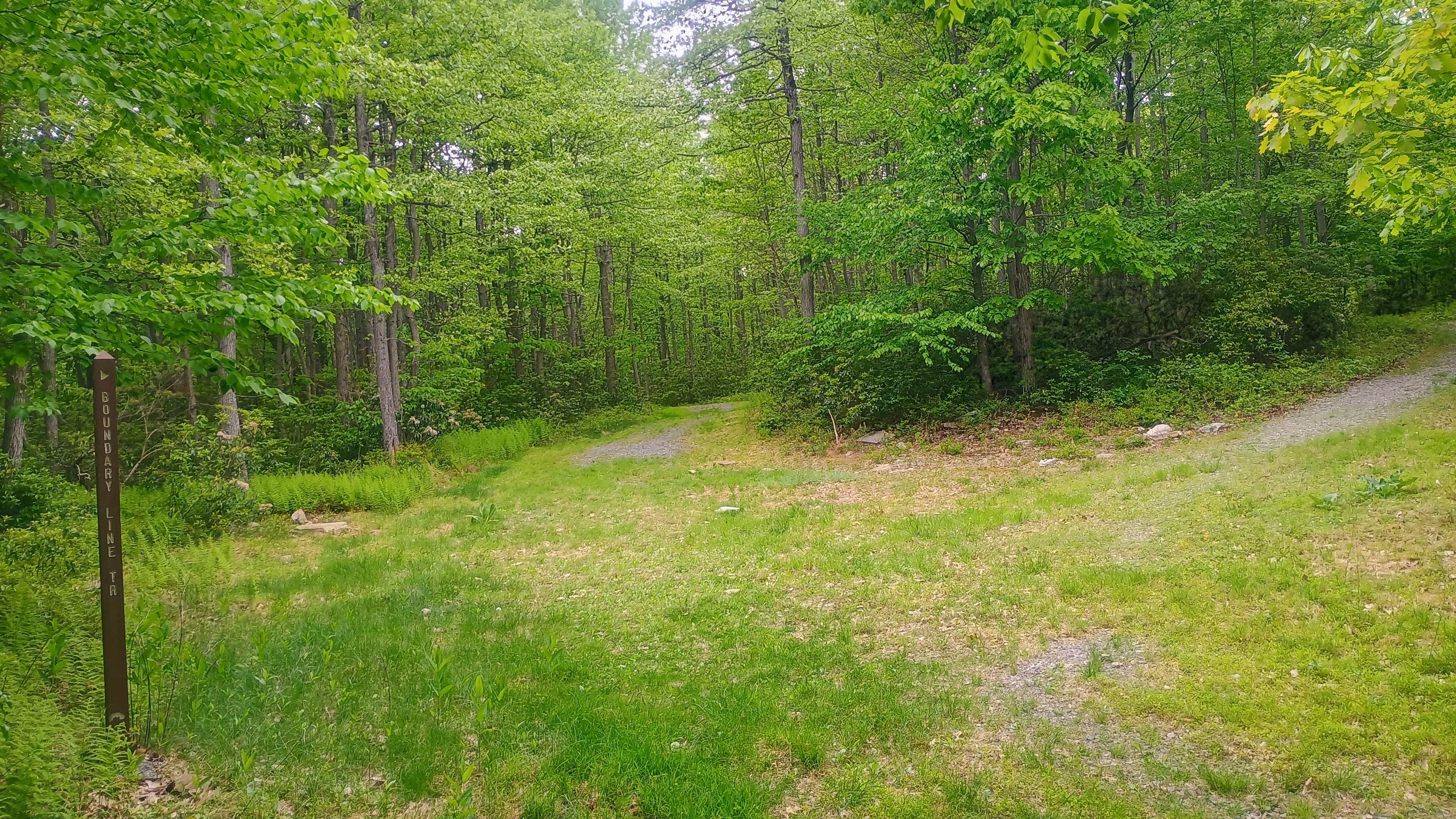
The junction of Boundary Line and Rim Trails.

I set up along this road to operate. Here I worked S2S with AE0MM on W0D/BB-033, an unnamed peak in the Black Hills National Forest in SD, on 40m and KF9D on a second WI summit for the day, W9/WI-015 Happy Hill.
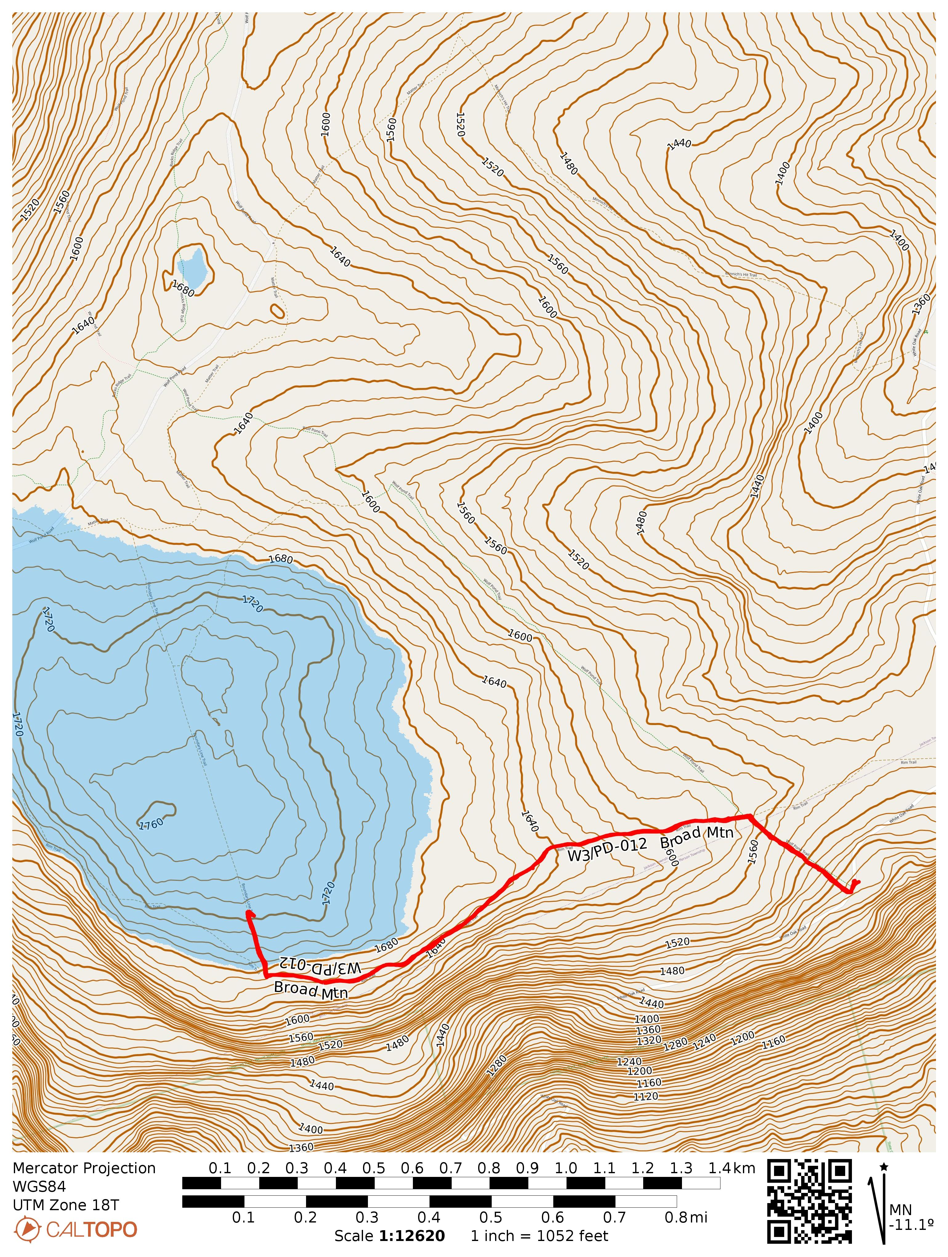
As you can see, Wolf Pond Road leads into the AZ from the north and is an alternative path.
  • Trailhead: 40.50944, -76.74986 : Parking area in Halderman Tract of Weiser State Forest
  • Maps: [AA3TZ SOTA] [Weiser State Forest Map]
  • Route: 2.4 mi RT hike, ~250 feet elevation along Wolf Pond Trail/Rim Trail, with a final jaunt on Boundary Line Trail
  • POTA: US-5480, Weiser State Forest

W3/SV-043 Mahantango Mtn

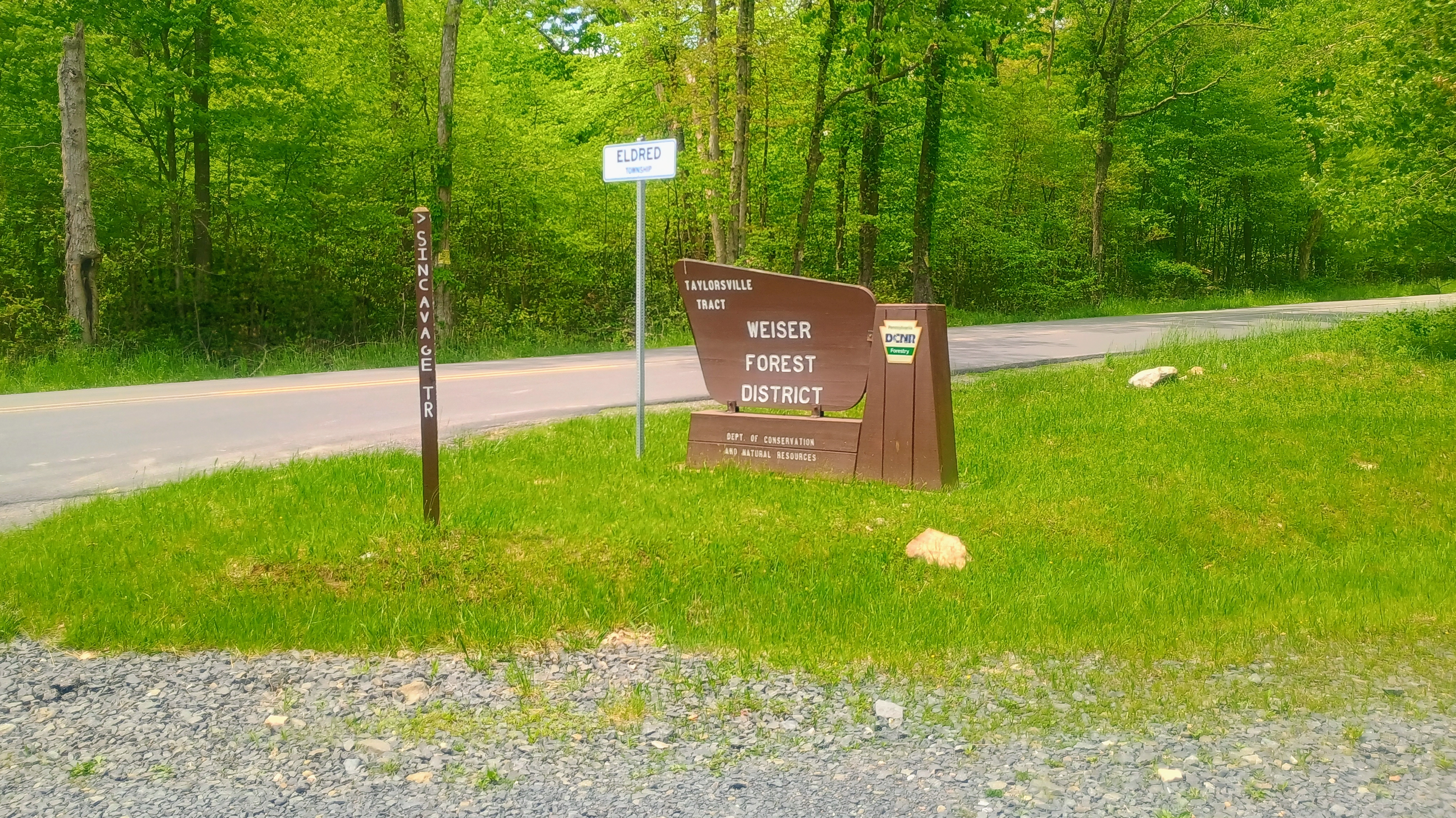
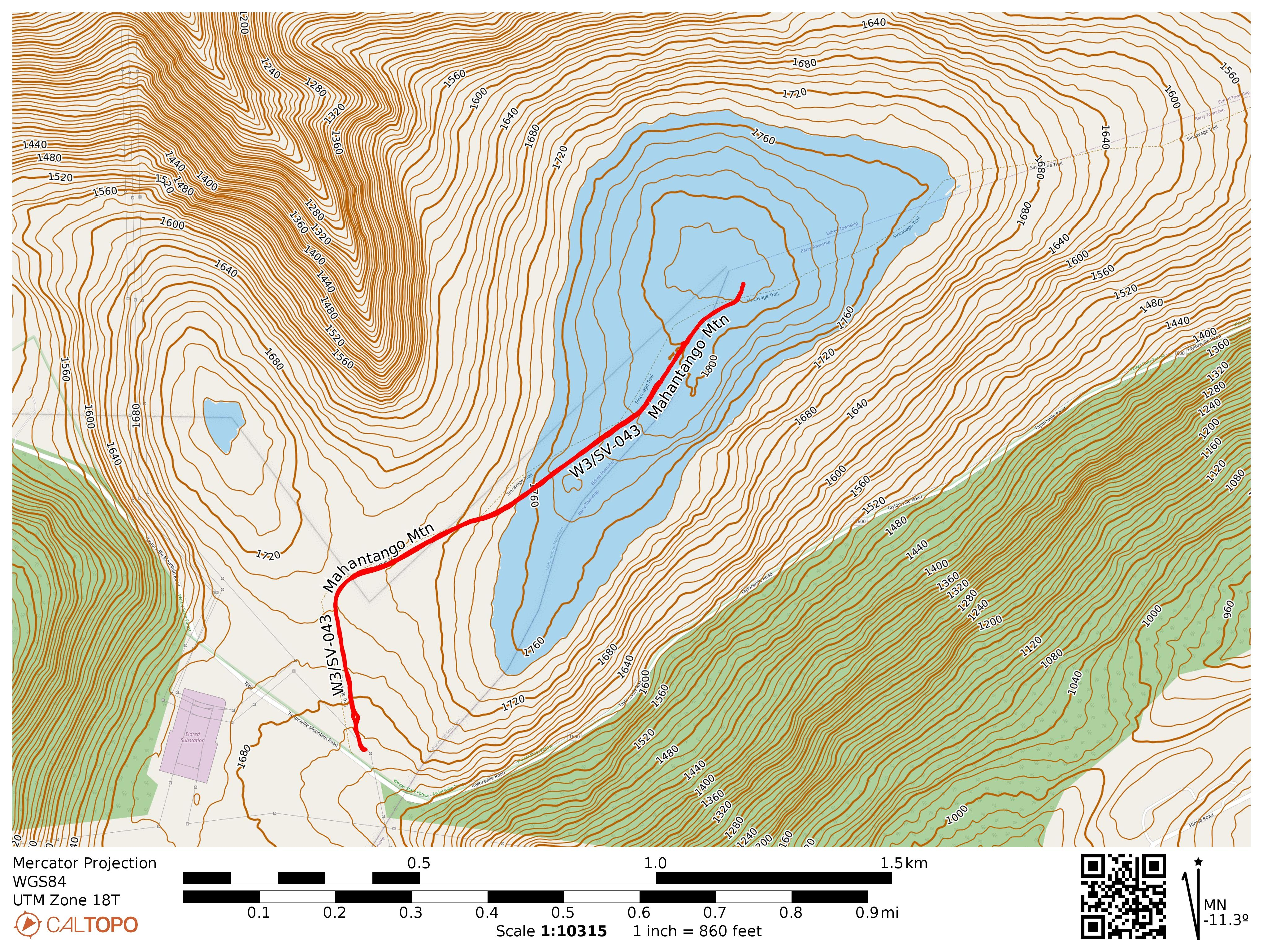
On my way back from Eastern PA, I stopped by Weiser State Forest for this short hike, not far from some high tension powerlines. I parked at the trailhead for the Sincavage Trail off of Taylorsville Mountain Road. This tract of Weiser SF felt very open, the trees not very tall or densely packed. The trail was really a gated gravel road and it probably was only about half mile to get into the activation zone, but I went on to get close to the actual high point.

Parked at the Taylorsville Tract where Sincavage Trail (more of a road than a trail) starts.
This branch is very close to the labeled peak, and I activated along the road splitting off to the left (Black Gun Trail).

There was plenty of space on a side road to string a wire along and I enjoyed a calm activation. Two S2S QSOs to note: KF9D on W9/WI-013 Sauk Point on 40m and KX0R on W0C/FR-089 Cheesman Mountain on 15m.

  • Trailhead: 40.72839, -76.43737 : Parking in Taylorsville Tract at Sincavage trailhead
  • Maps: [AA3TZ SOTA] [Weiser State Forest Map]
  • Route: 1.8 mi RT hike, ~150 feet elevation along Sincavage Trail. Can cut this to less than 1 mile RT if your goal is jut to get to the AZ.
  • POTA: US-5480, Weiser State Forest