
This was my last activation from a string of activations along Eastern PA. I parked in the Halderman tract of Weiser State Forest, arriving from White Oak Road. I parked here and took a short hike along Wolf Pond Trail and Rim Trail into the activation zone. An alternative is to drive south along Wolf Pond Road, a well-groomed gravel road that extends all the way into the AZ.
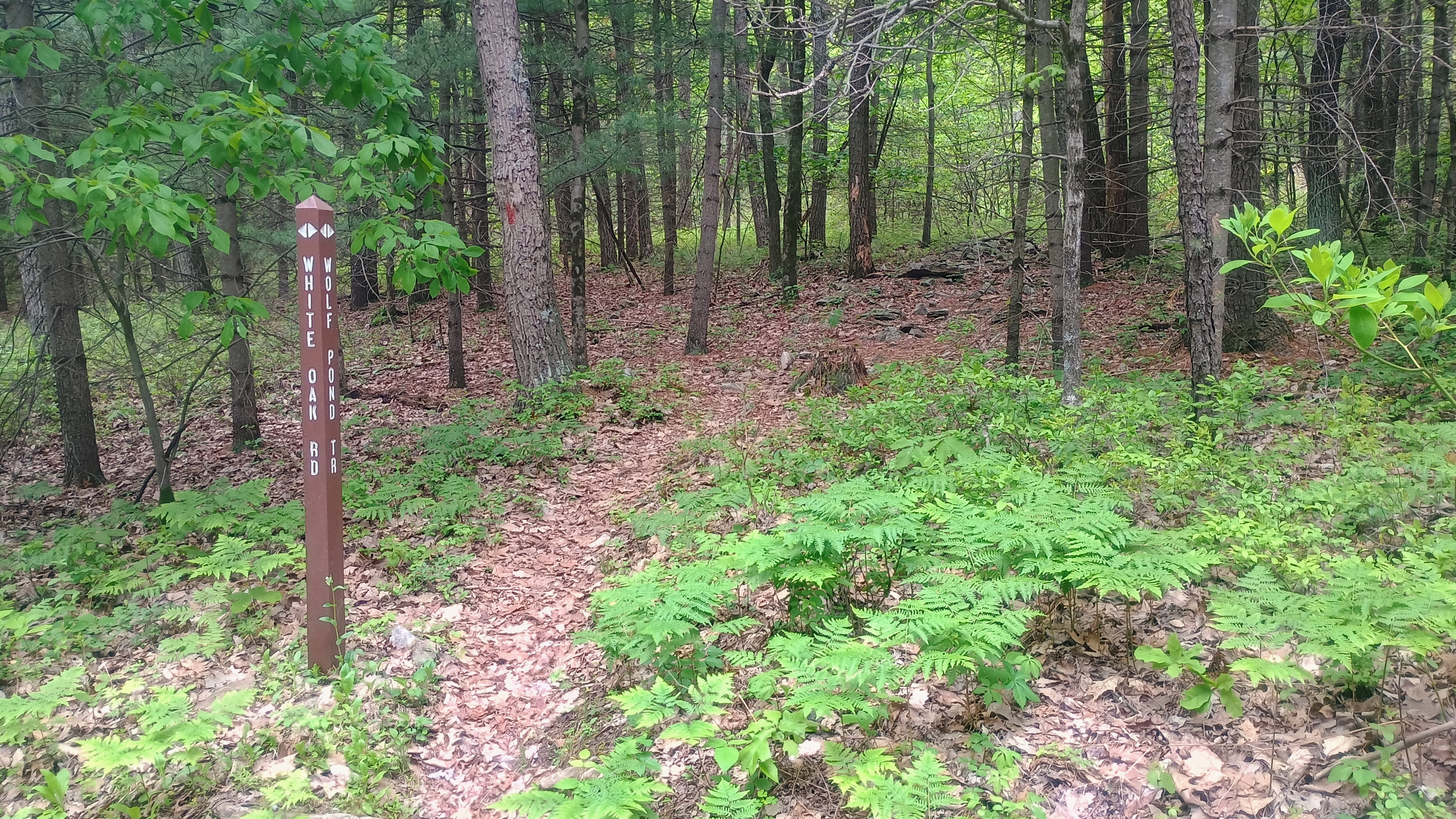


After a short walk on Wolf Pond Trail, I turned to follow Rim Trail west, which looked like yet another gravel road, though a bit more overgrown. After following this for the bulk of the hike, I came to Boundary Line Trail, a gravel path that sharply climbs up into the AZ.
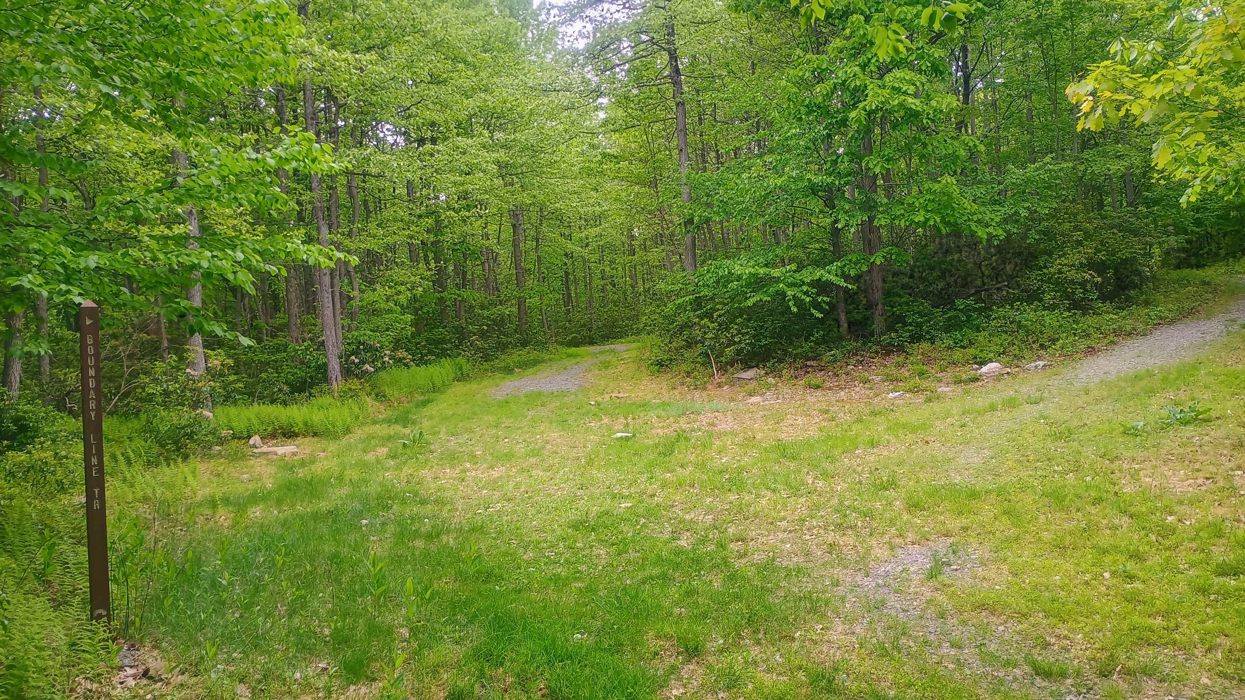
I set up along this road to operate. Here I worked S2S with AE0MM on W0D/BB-033, an unnamed peak in the Black Hills National Forest in SD, on 40m and KF9D on a second WI summit for the day, W9/WI-015 Happy Hill.
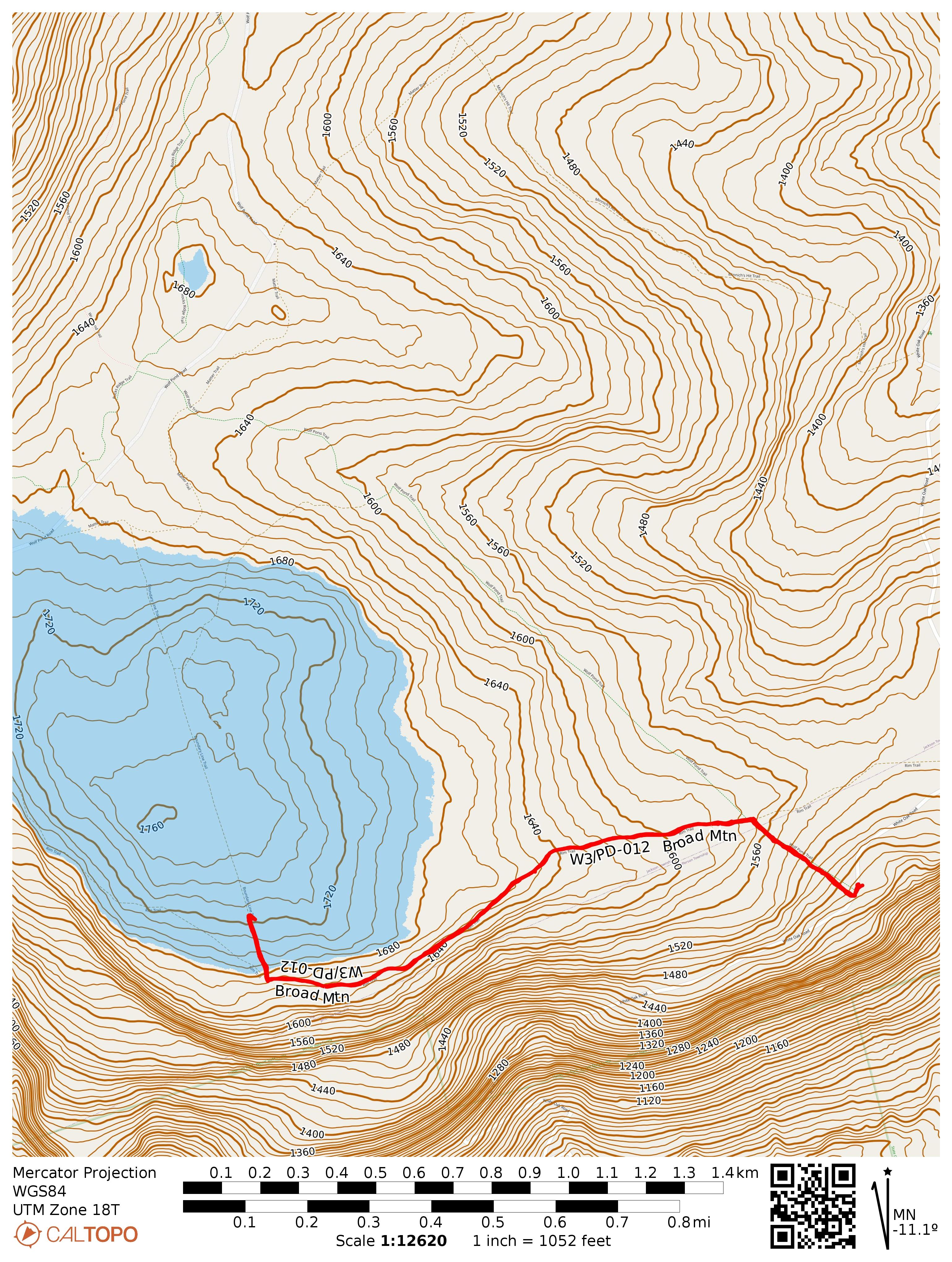
- Trailhead: 40.50944, -76.74986 : Parking area in Halderman Tract of Weiser State Forest
- Maps: [AA3TZ SOTA] [Weiser State Forest Map]
- Route: 2.4 mi RT hike, ~250 feet elevation along Wolf Pond Trail/Rim Trail, with a final jaunt on Boundary Line Trail
- POTA: US-5480, Weiser State Forest

