
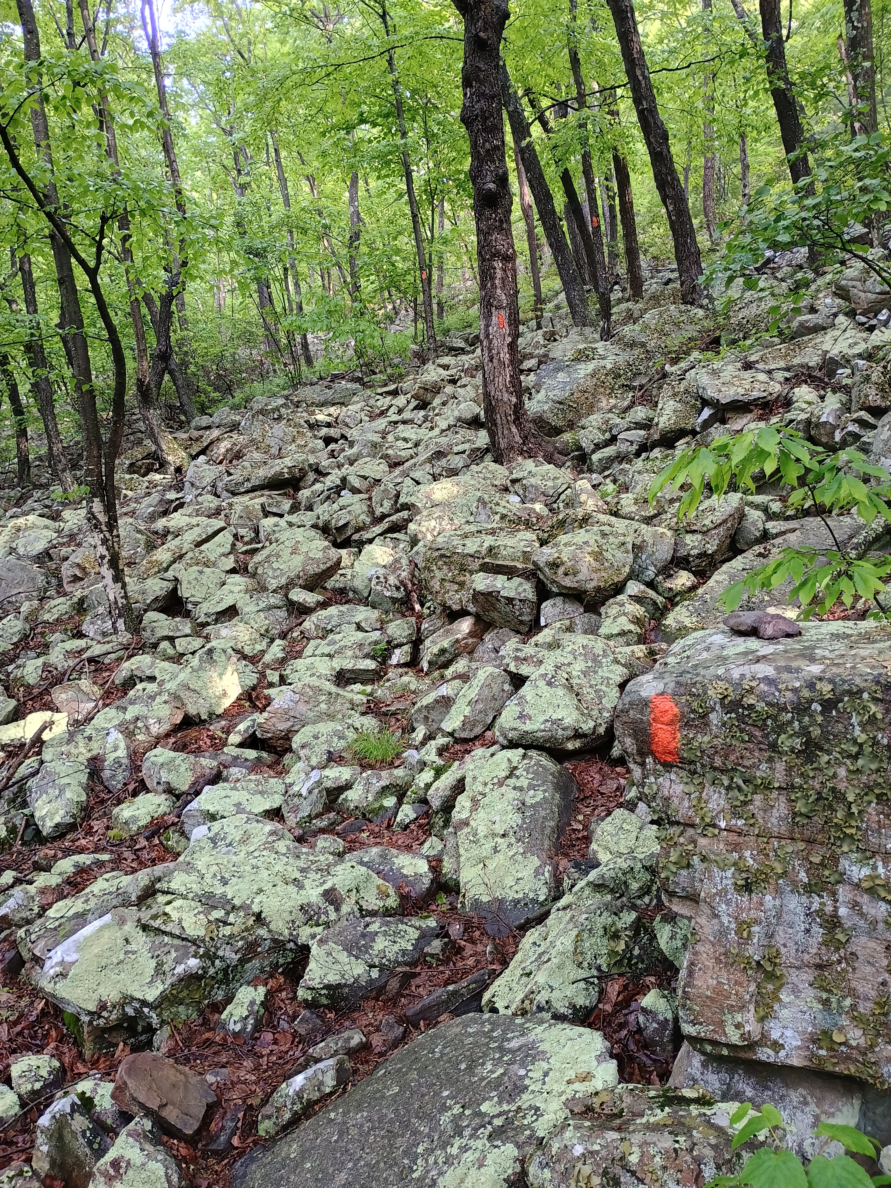
I went for three SOTA activations in Bald Eagle State Forest on Saturday, hoping to beat the impending arrival of a recent coronal mass ejection (which would come to destroy propagation and ultimately spark a G4 geomagnetic storm – yikes!). This peak can be done with a half-mile hike up a section of the Mid-State Trail, but I extended the hike to experience more of “Pennsylvania’s Wildest Trail,” which bisects the state. It is notoriously rocky, and I got to experience that here.
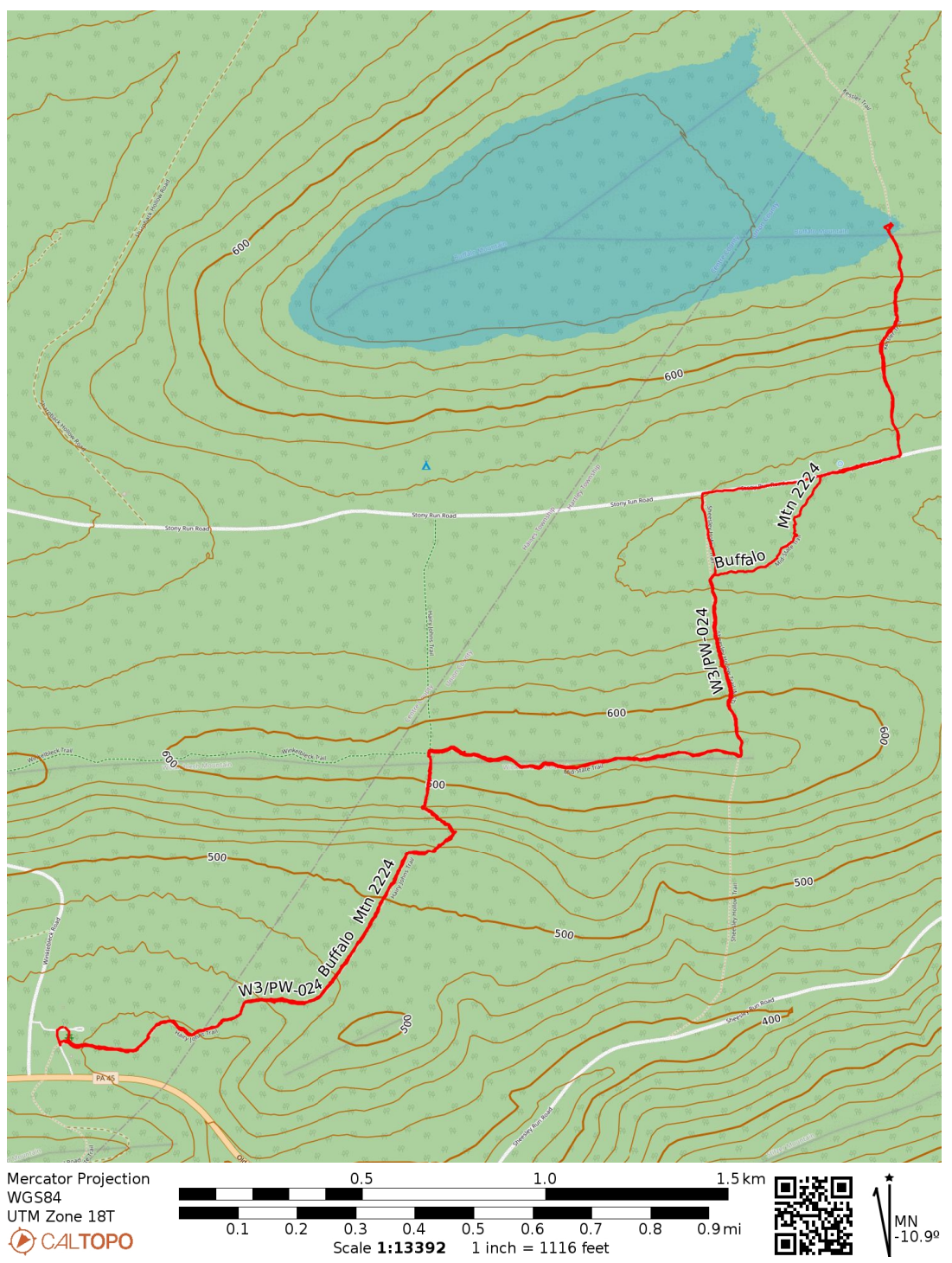
I started at Hairy Johns picnic area, where the Hairy Johns Trail takes over the MST and climbs up Winkleblech Mountain. The trail is well-marked with orange blazes. Mountain laurel was everywhere along the trail, and the pink buds were getting ready to burst open. At one point, the trail became a large boulder scramble. The boulders were slick with the previous night’s rain.
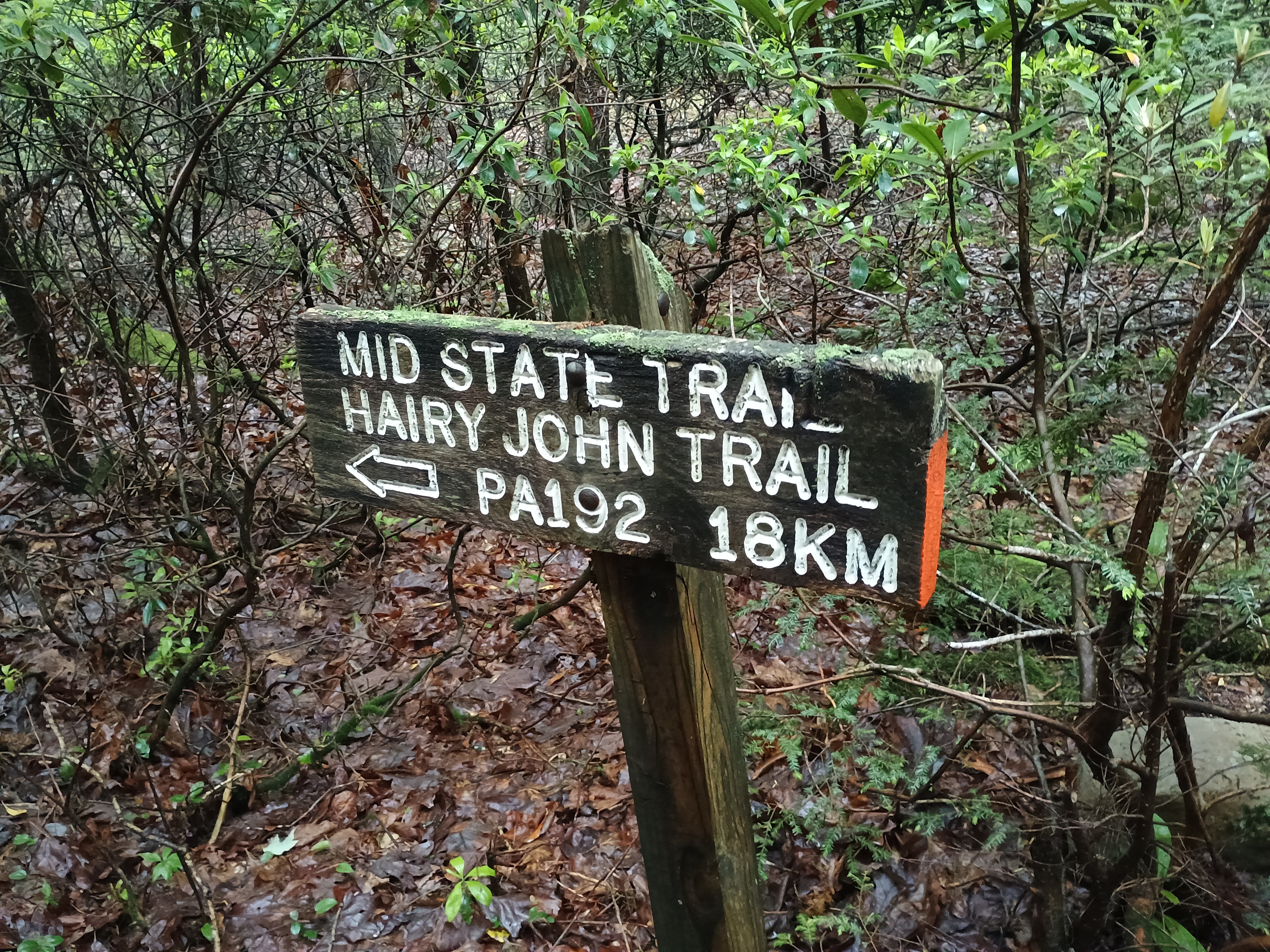
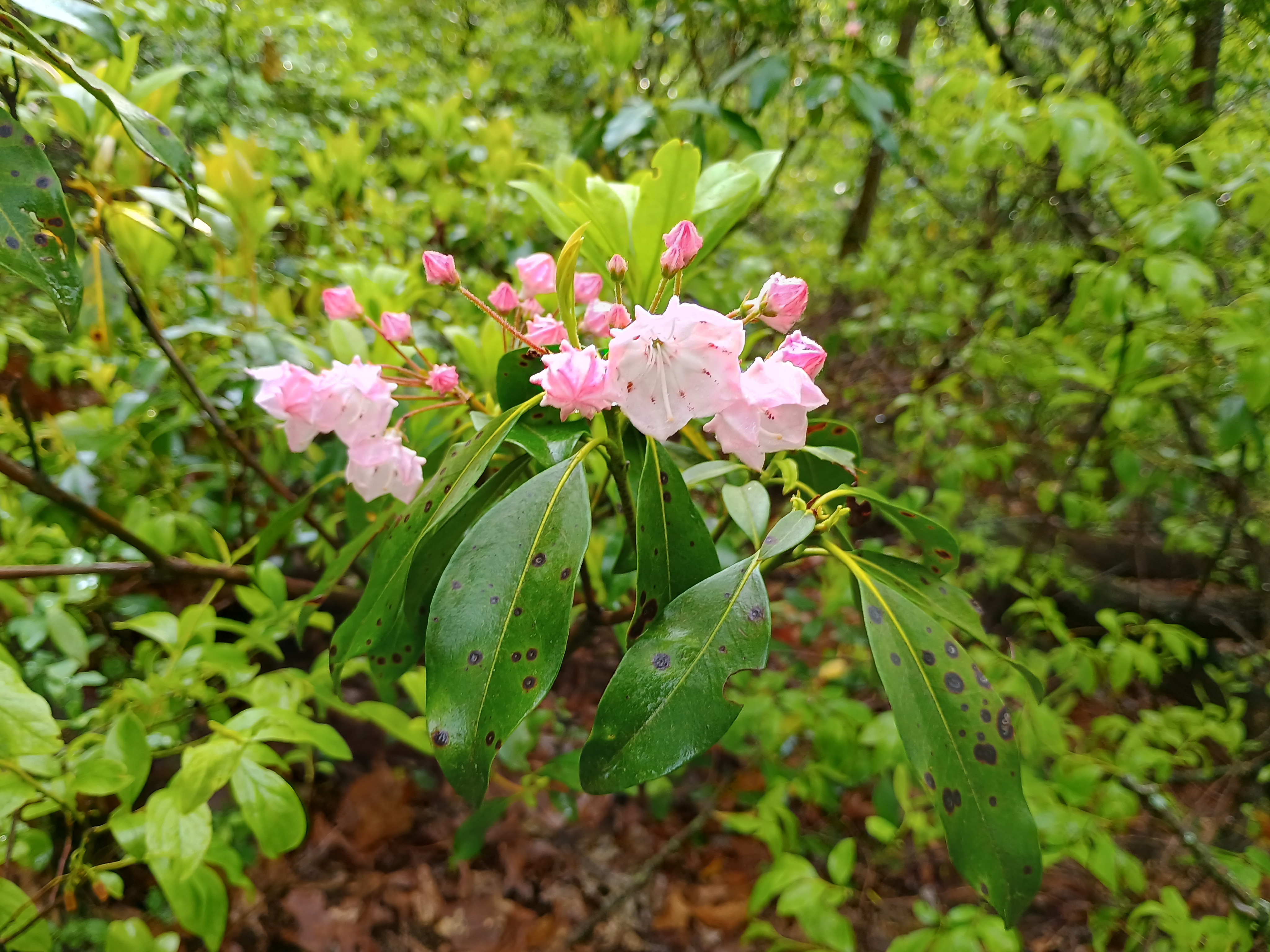
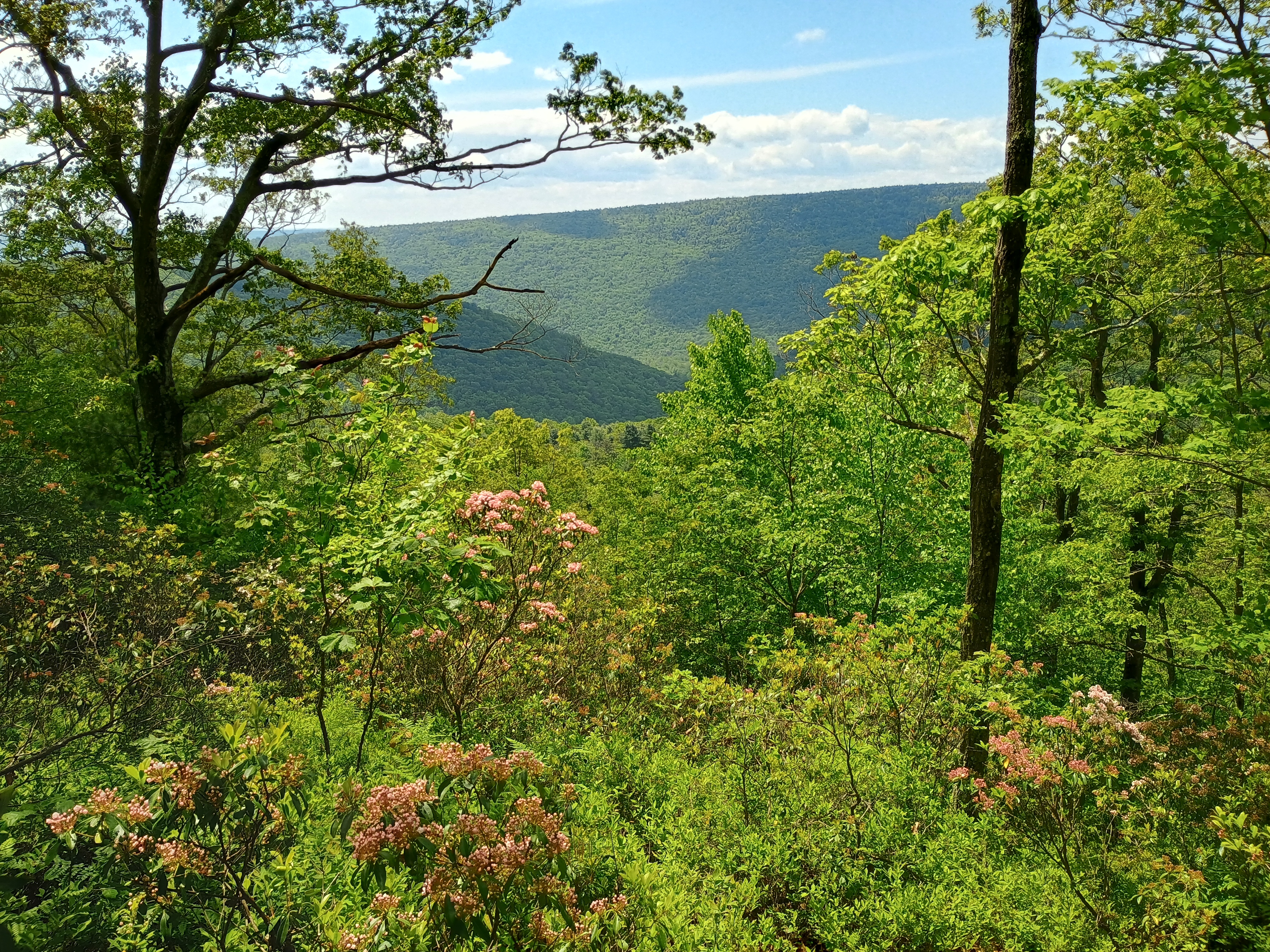
On top of this first hill, the MST leaves Hairy Johns Trail and follows the Winkleblech ridgeline east. This was the most pleasant part of the hike, featuring more mountain laurel and a nice breeze. There were a few pretty vistas through the trees on the way up as well. There was also a good place to camp along the trail for overnight hikers.
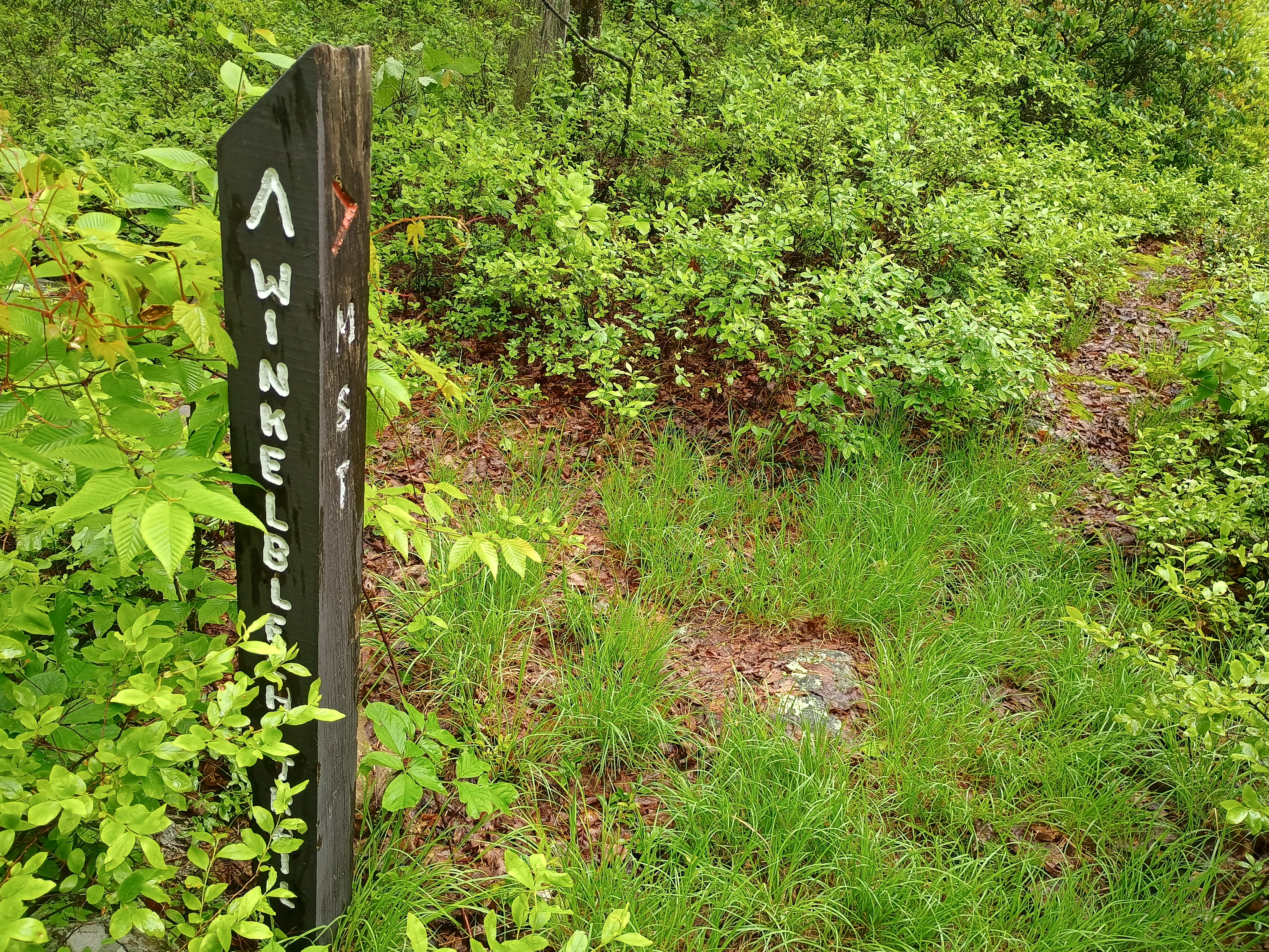
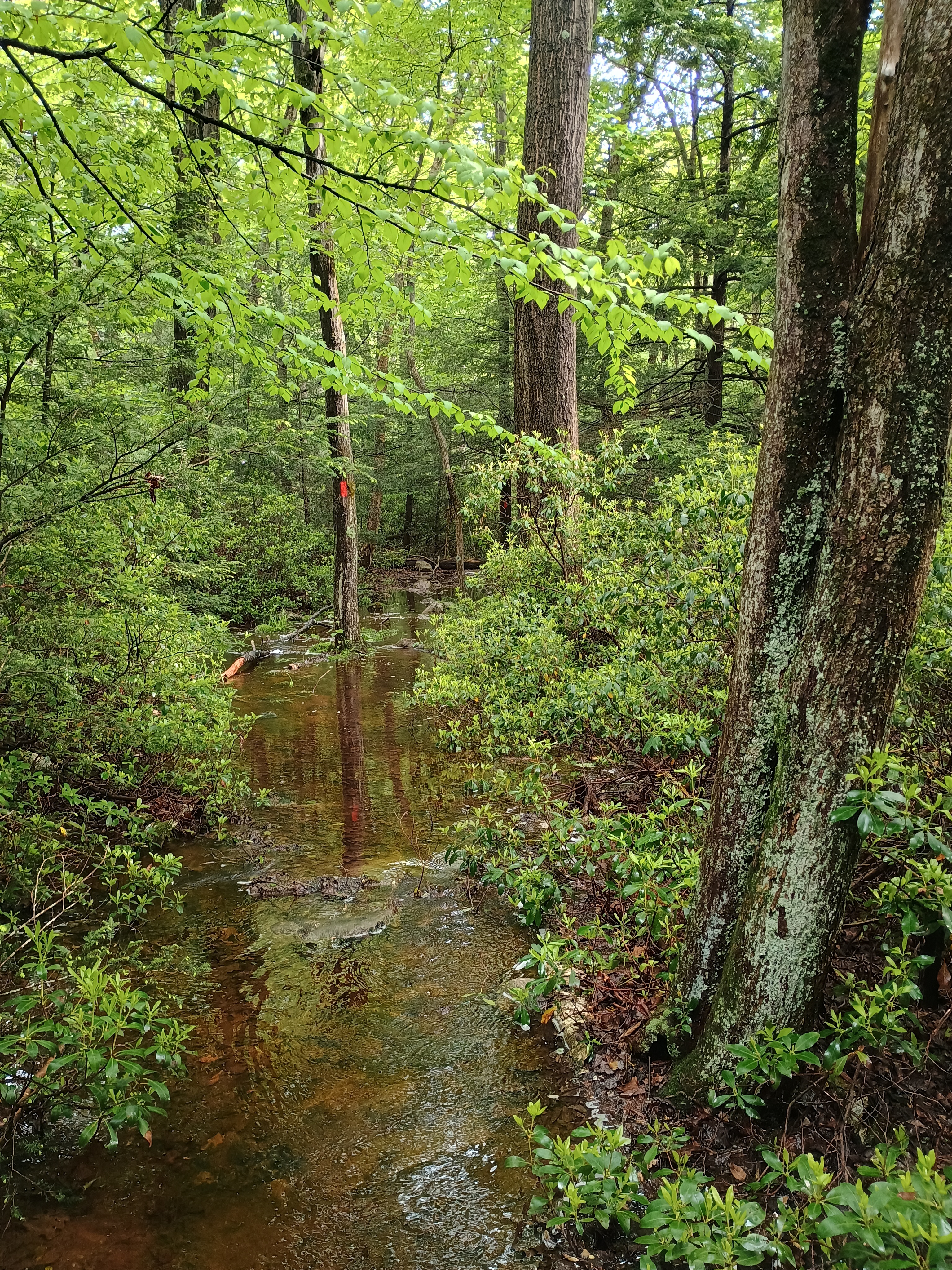
The trail descended along the north ridge. Near the bottom, the streams had swollen with recent rain, completely submerging the MST in places. After splashing through some pooled water, I made it to Stony Run Road, a gravel road where most other SOTA activators seem to have started their hike. There were plenty of places to park off the side of this road, and it would cut off a good chunk of the trip, leaving just the last 0.5-mile, 400-foot ascent along the Kessler Trail.
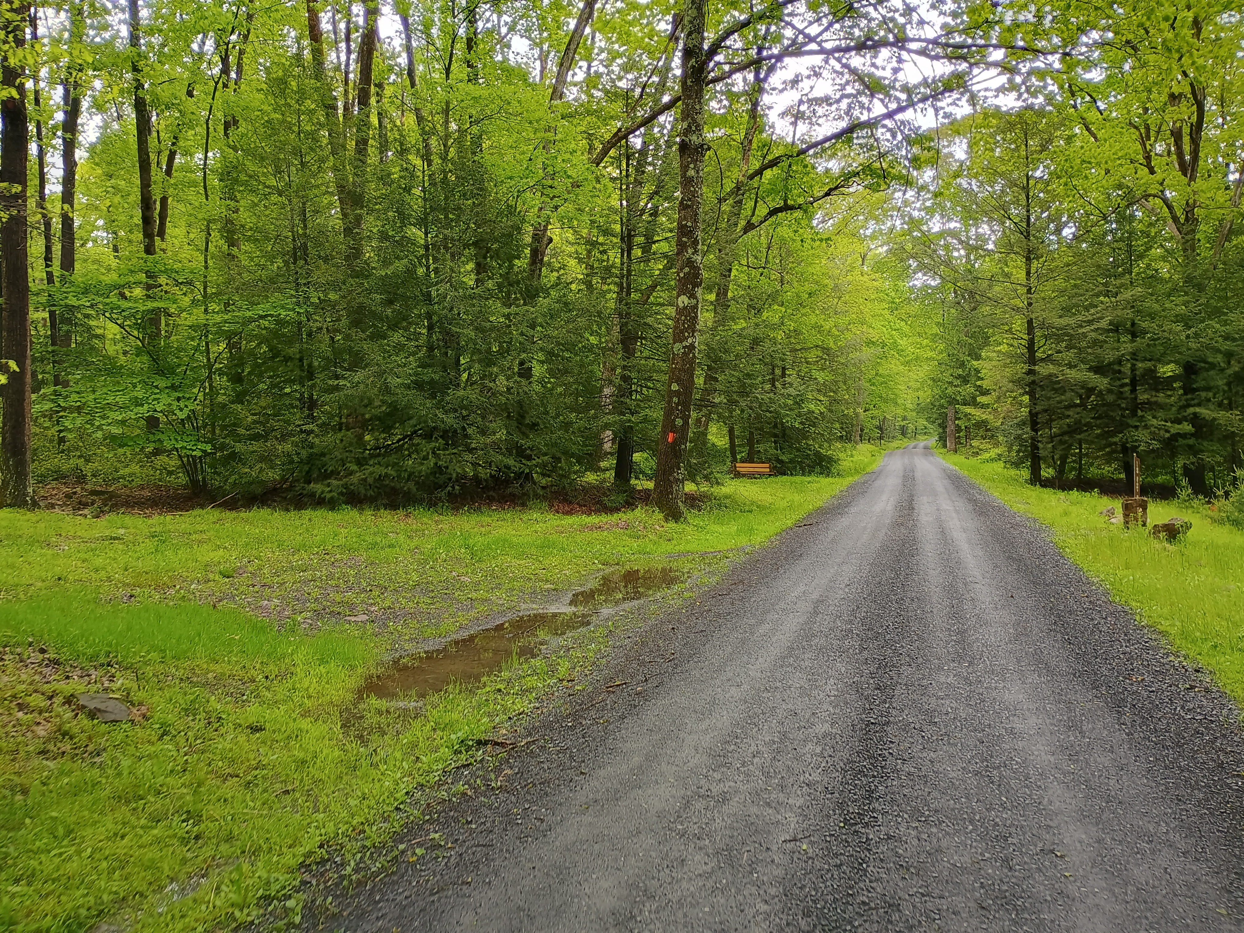
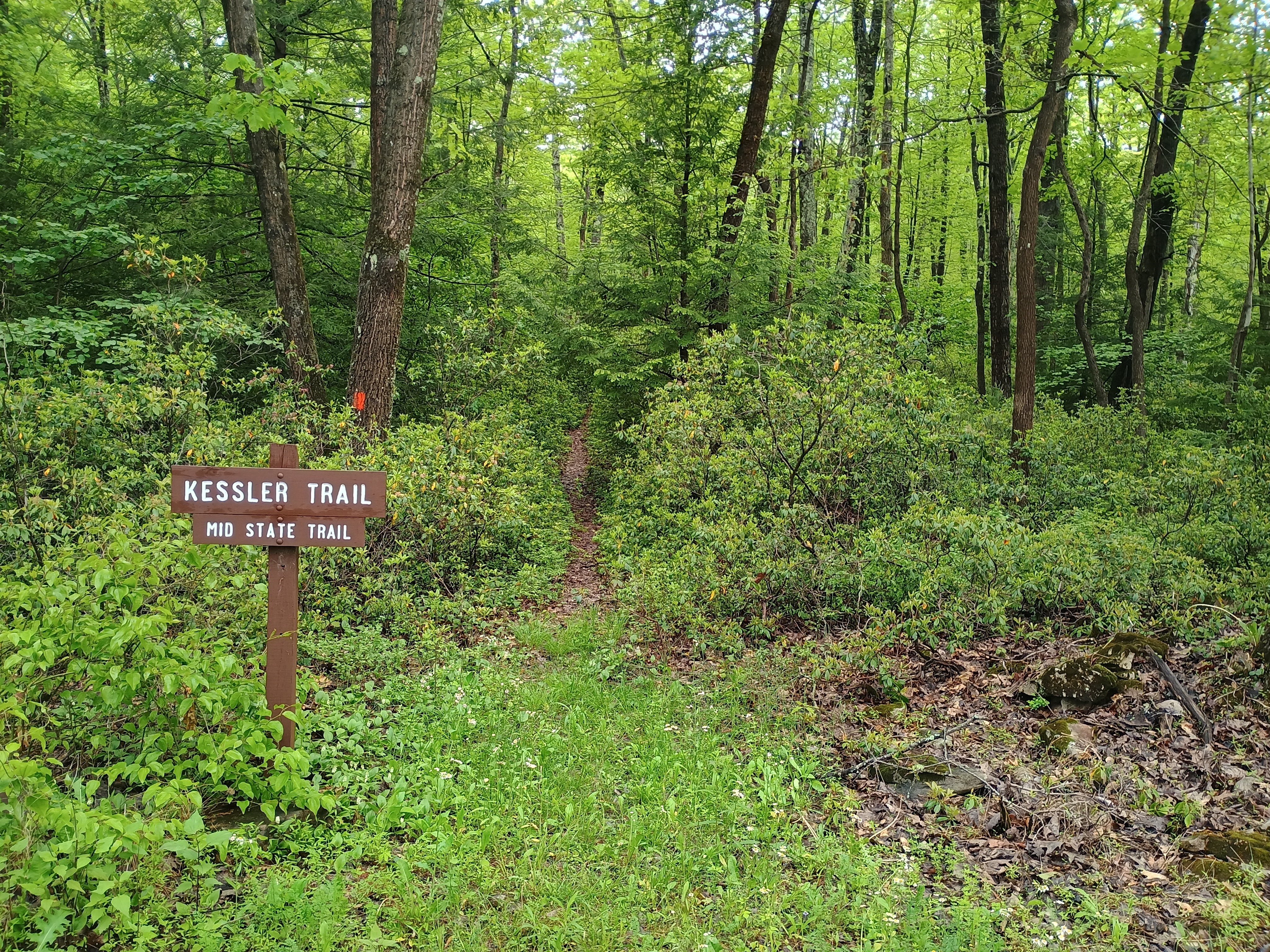
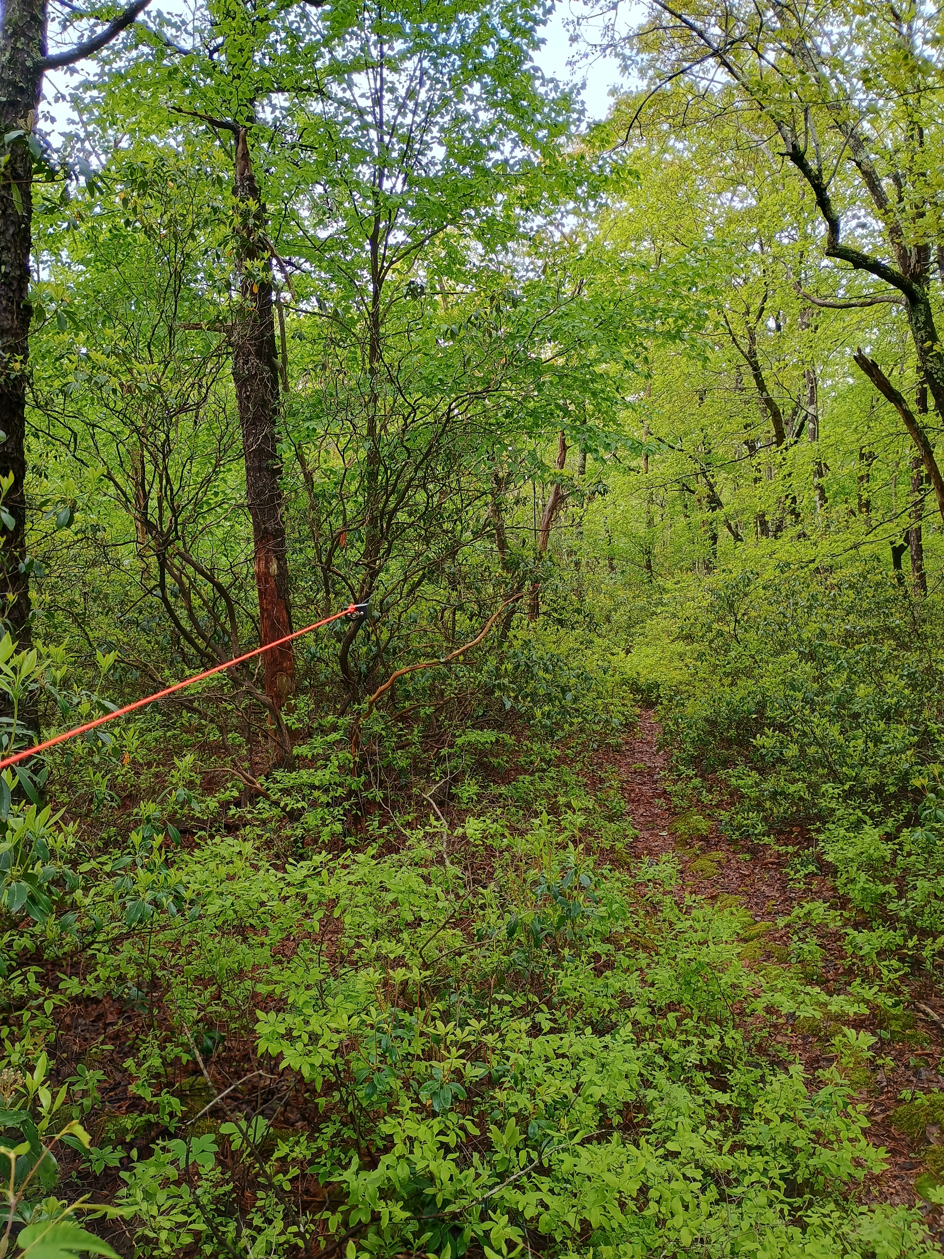
Getting to the actual peak would have required going through a dense bushwhack, but a roughly 200-foot section of the MST is just within the activation zone. I carefully strung my EFHW down the length of the trail. I was off to the side in case any other hikers came by, but none did.
My only DX was the legendary F4WBN on 20m. I didn’t linger too long, since I had a nearly 3-mile return hike, and there were other summits to activate today! On the way back, I avoided the swamp of the MST by walking west on Stony Run Road until I reached a jeep trail that passed by a cabin. I waved at the elderly man sitting on the cabin’s stoop. He agreed that the MST was totally drenched and understood why I was walking by his way. I managed to avoid getting my mostly-dried out feet wet once again, so that was a win!
Next up was W3/PW-029 Thick Mtn, the trailhead just about a 10 minute drive from Hairy Johns picnic area.
- Trailhead: 40.91116, -77.28251 : A lot of parking in the Hairy Johns picnic area. There is plenty of parking along Stony Run Road, so you can just start at the Kessler Trail around 40.92515, -77.25533 for a shorter 1-mile RT hike.
- Map: [AA3TZ SOTA]
- Route: 5.8 mile RT hike along Mid-State Trail (Hairy Johns and Kessler Trail), 1400 feet of cumulative gain
- POTA: Bald Eagle State Forest (US-5462)
 Tom Zajdel
One thought on “W3/PW-024 Buffalo Mtn 2224”