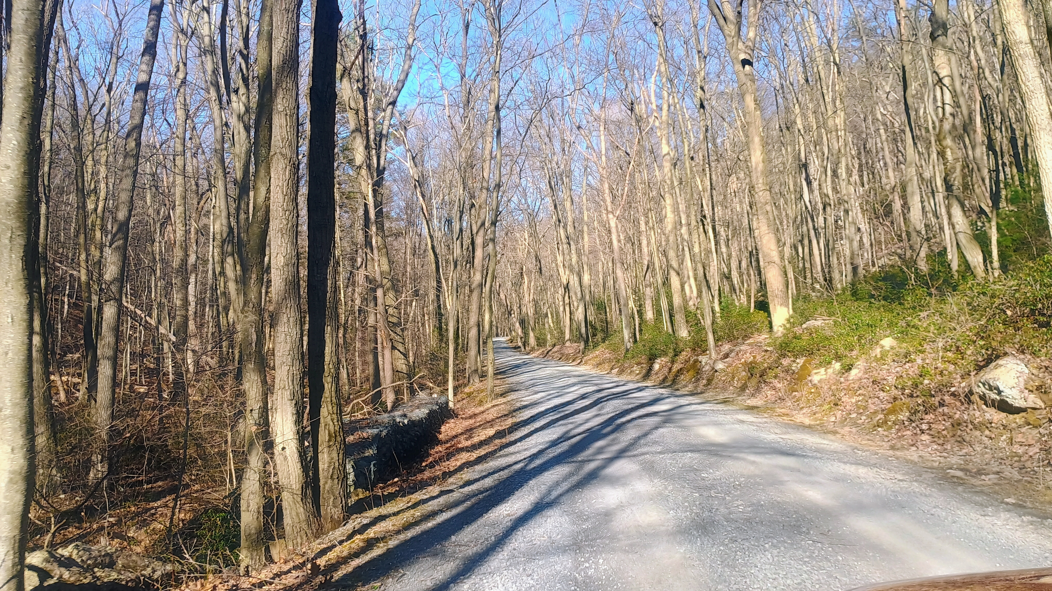
I got out for an early morning activation of Cornell Lookout near Lancaster, PA before my day-long workshop in Elizabethtown started. The drive into the site was uneventful, following Horseshoe Trail, which is a paved road(/riding trail?) with many patched potholes dotting the asphalt. While driving up, the right side of the road is posted private property, and everything to the left is part of State Game Land 156. I parked at a pullover inside the activation zone that is within the tiny 10 acre Cornwall Tract of William Penn State Forest. This tract was purchased from the Cornwall family in 1935 for $1.00.
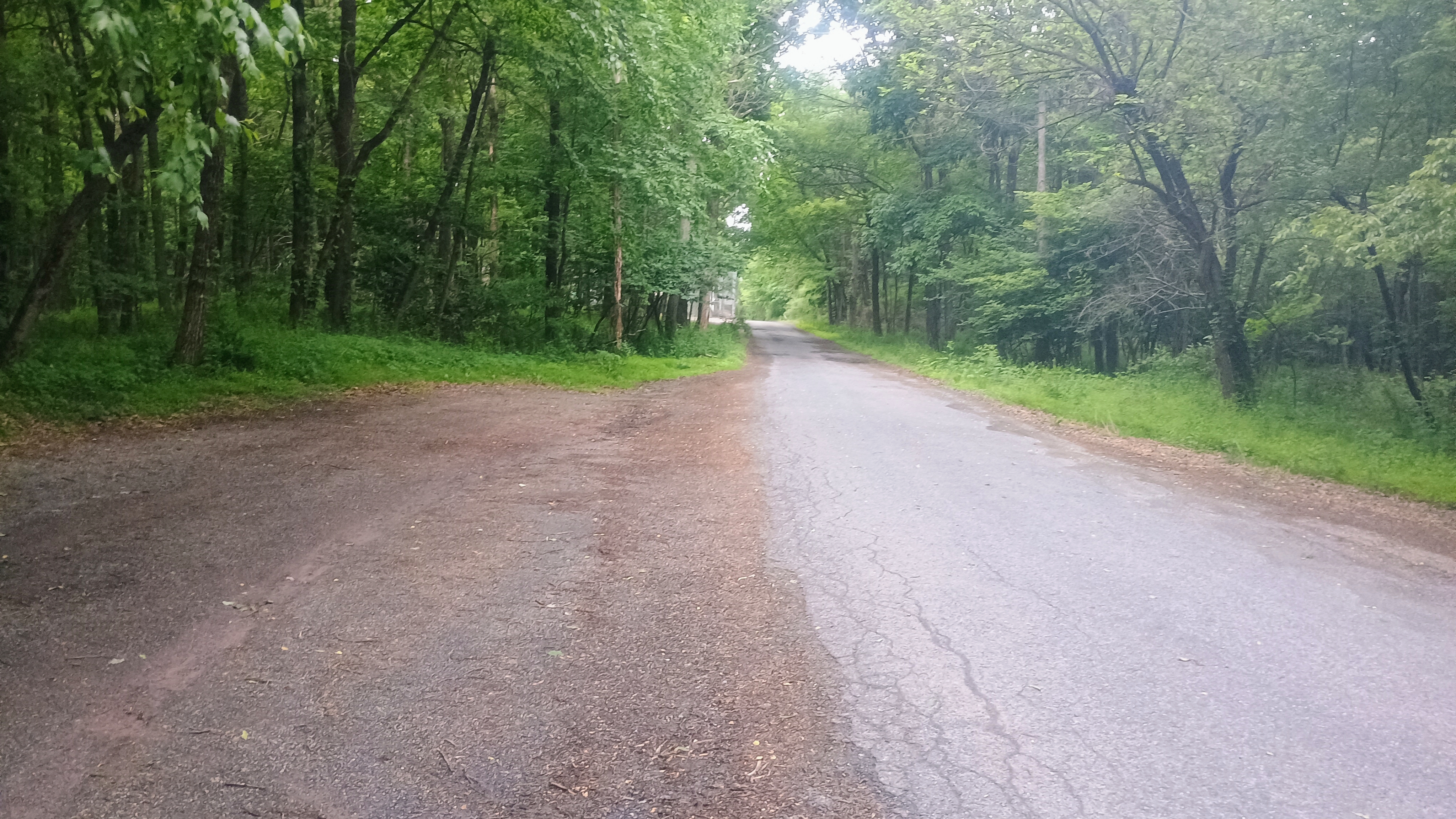
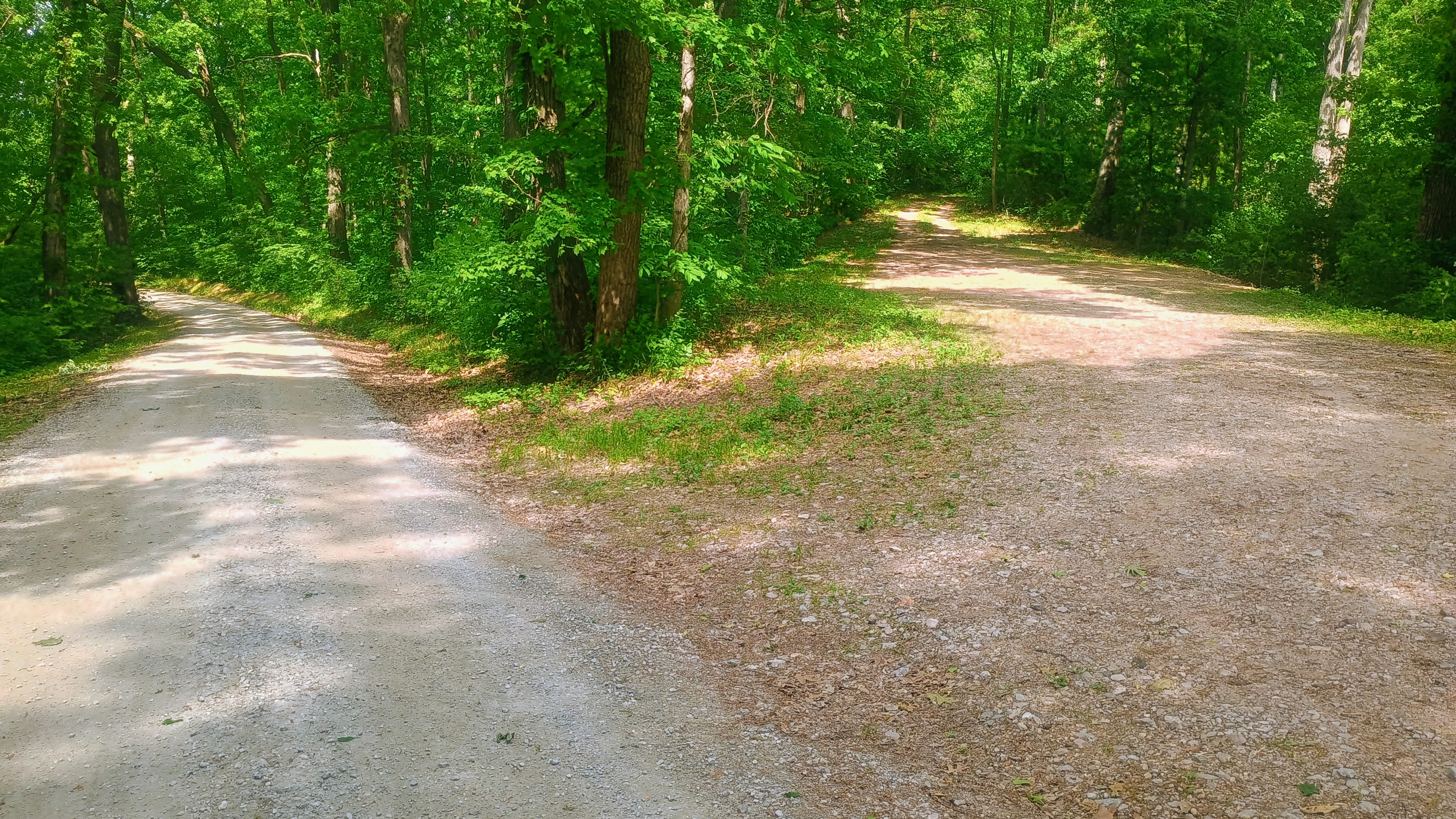
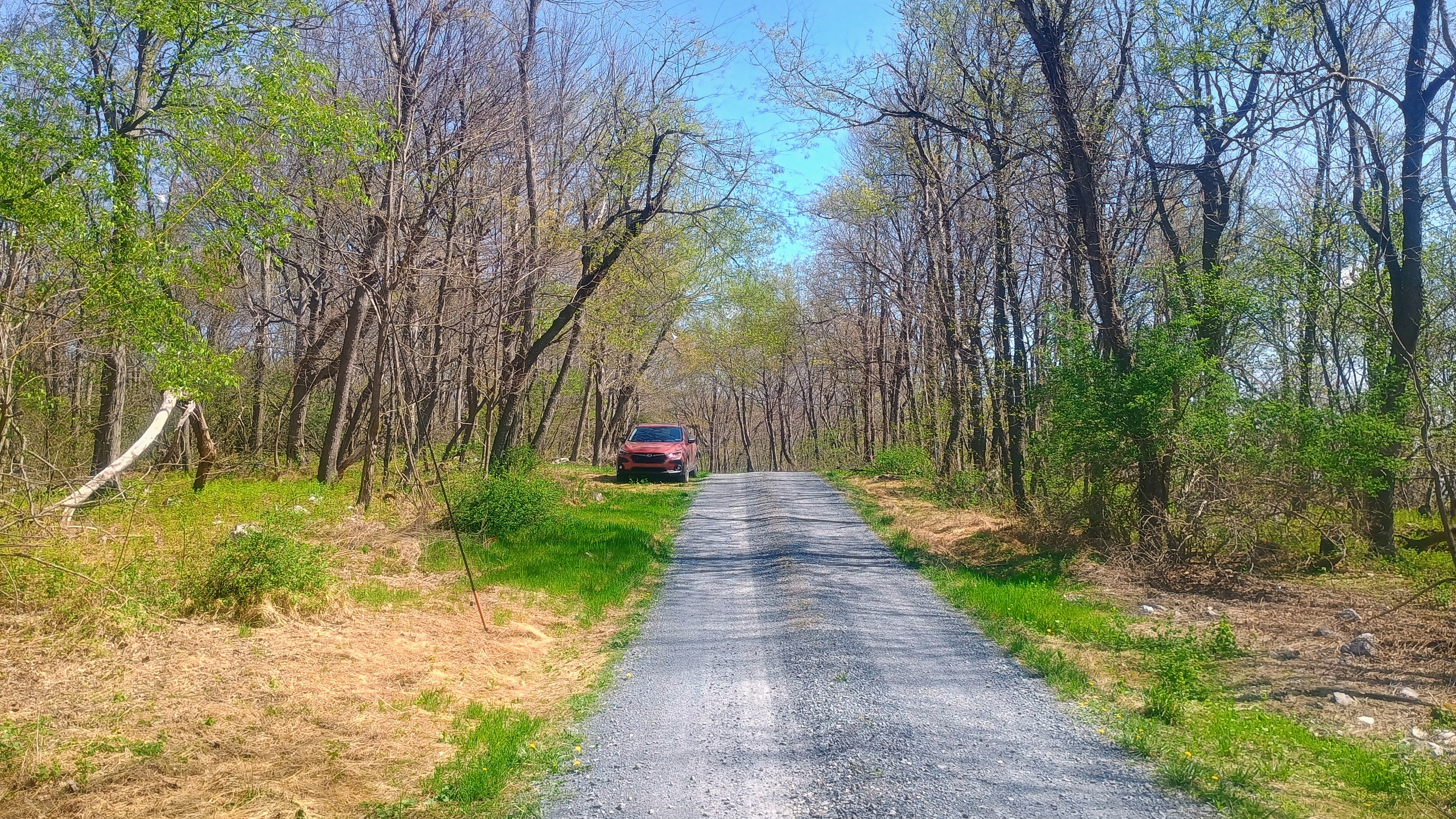
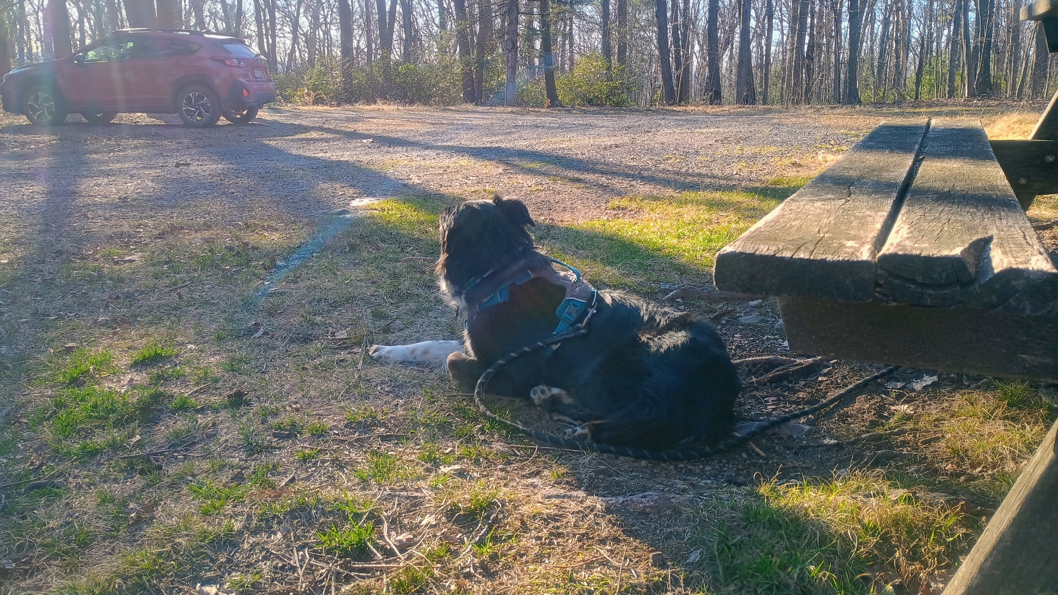
I parked and operated at this spot on the left. The road is in good shape up to this point, but gets rough a few hundred feet past this point.
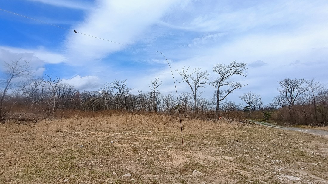
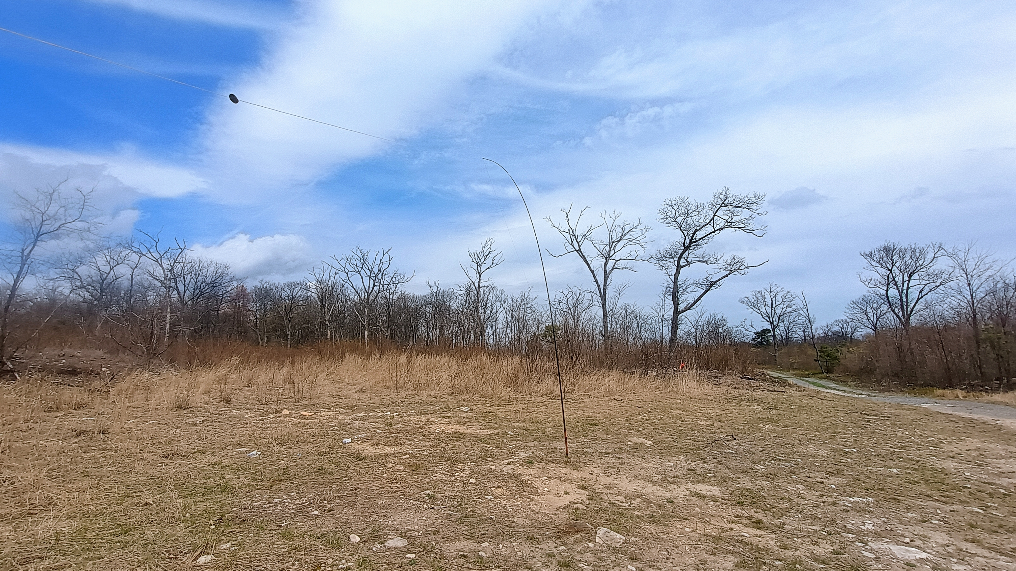
I got on the Lancaster Radio Transmitting Society’s repeater on 145.390 (PL 118.8 Hz) to try to drum up some locals for 2m. I connected with John W3RC who was driving in the Poconos. I don’t get out to eastern PA too often, but I know that the Poconos are very far away, so I confirmed with John that the repeater is part of a linked network. After chatting a bit, I set up my EFHW for HF activation by the side of the road, just after 6:30 am local time.
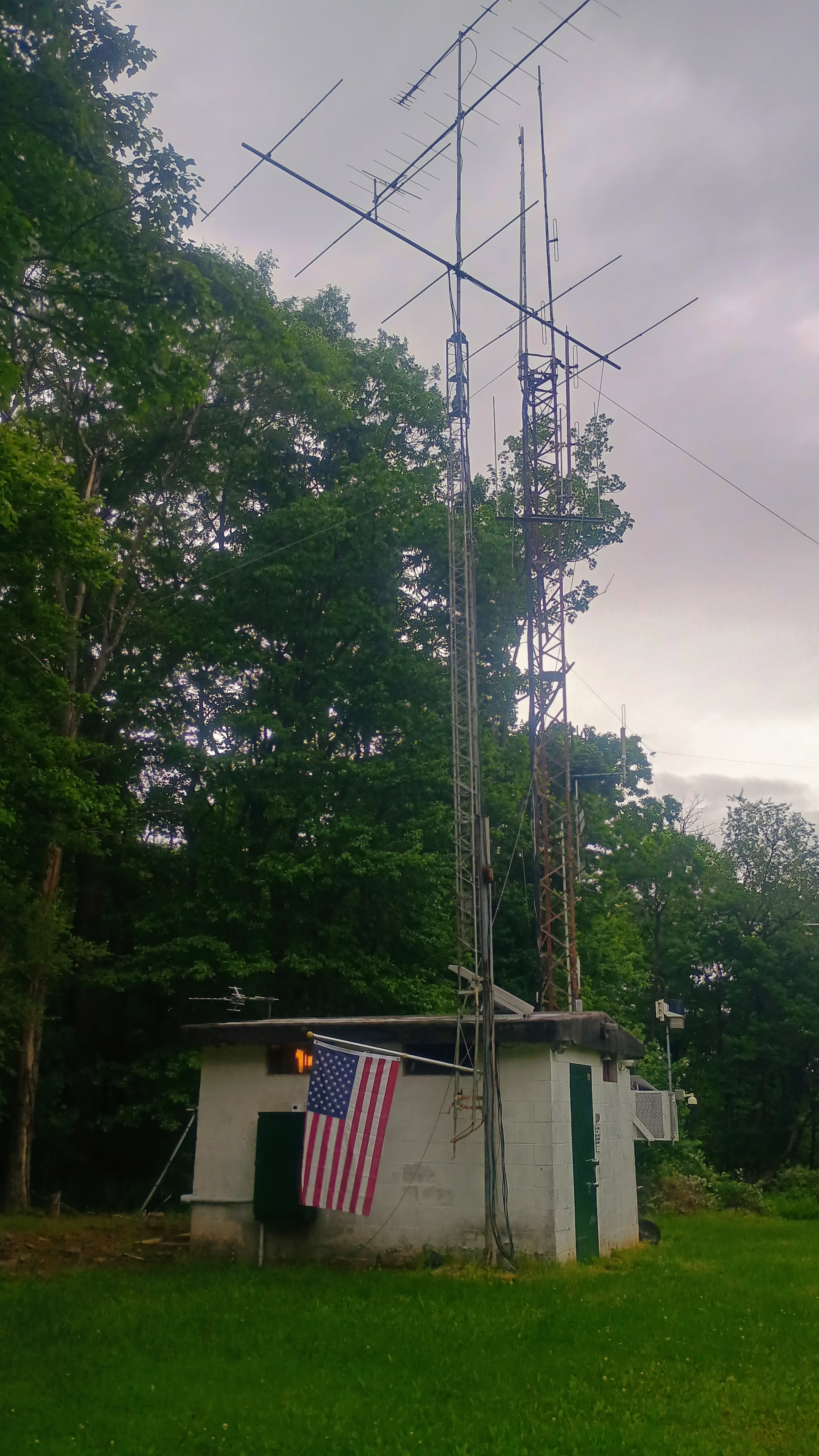
I was happy to get 17 QSOs before the anticipated rain started to roll in. I packed up and continued driving west along the road to see the Lancaster radio club’s shack and the other antennas on the peak. The road was in very bad shape, with large potholes, the further I went, but careful driving got me there. I recommend staying on the paved part of the road as it’s in better condition.
Lancaster Radio Transmitting Society’s site is next to a SGL 156 parking lot.
This is an easy 1-pointer drive-on to add to a trip to Hershey, PA. This was also my 40th SOTA complete, as I chased KE8OKM on his activation back in 2024. I’m surprised that it hasn’t been activated since late 2024. It would have been good to reach out to the LRTS with a bit more lead time as they seem like a good group to know, and their club is on the peak as well.
Trailhead: 40.24119, -76.37037 : Pullover south of Horseshoe Trail
I stopped by Michaux State Forest on my way to Elizabethtown, PA to activate this SOTA peak. My last trip to Michaux SF had been a winter hike on the Appalachian Trail to activate W3/PD-007 Snowy Mountain at 2090 feet. This companion peak at 2110 feet is just a bit taller, part of the north half of the forest. These two are the most-activated peaks in the Pennsylvania Dutch region, and I had chased this one one three occasions! Activating it would add another complete to my “collection”.
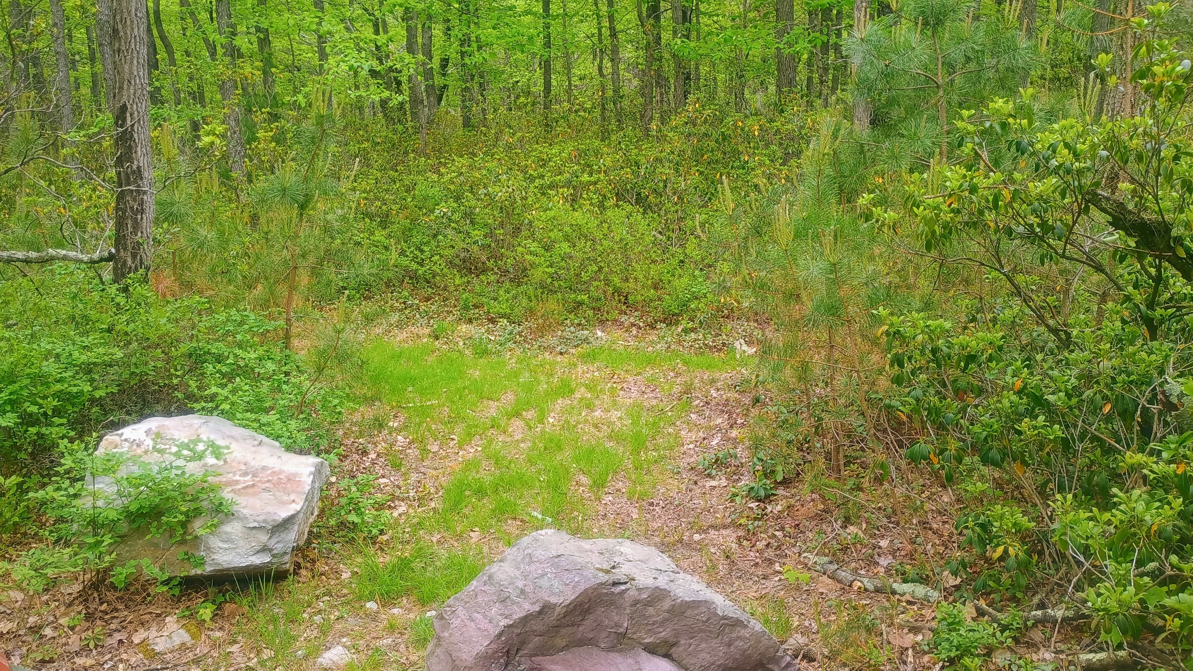
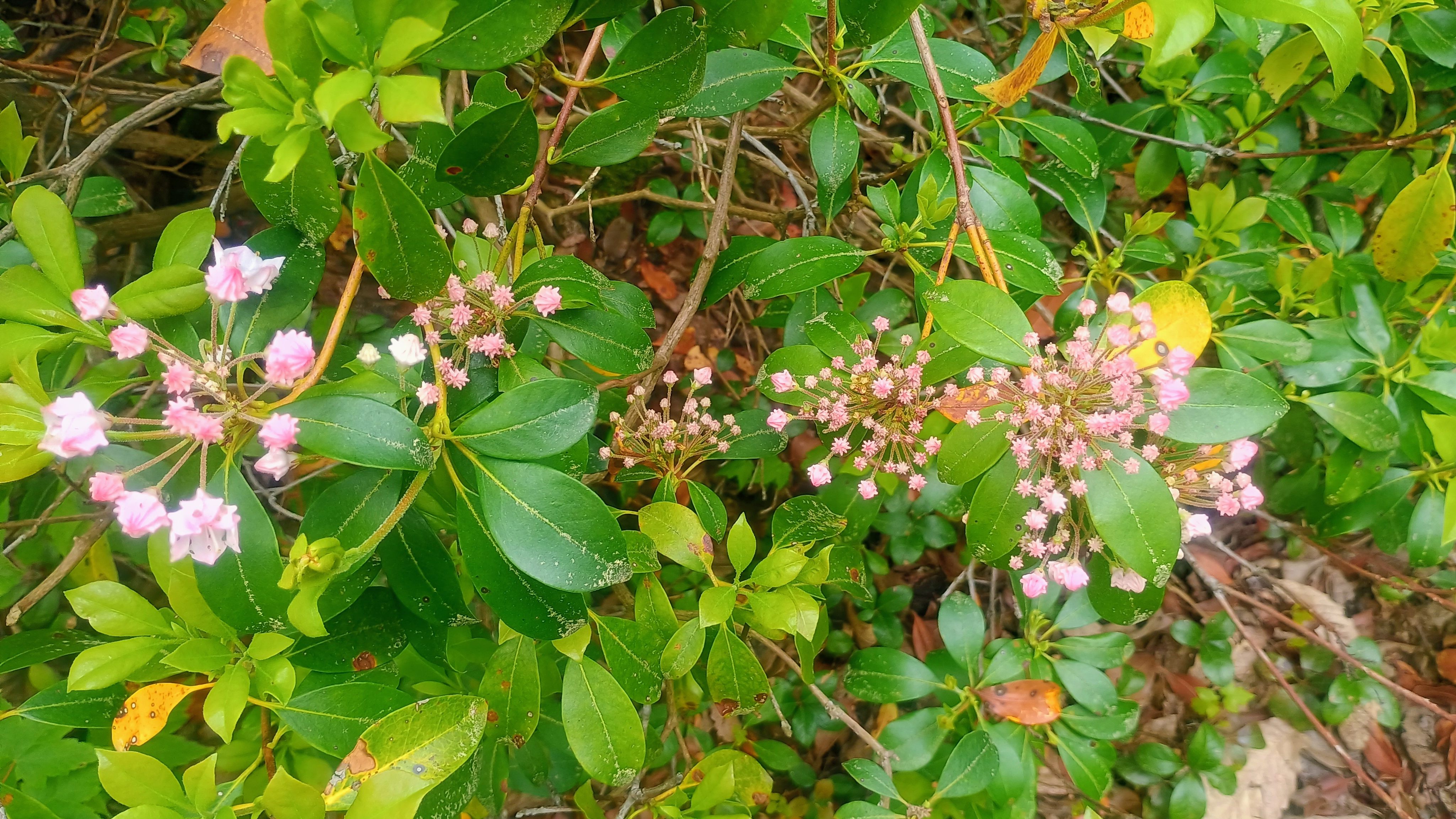
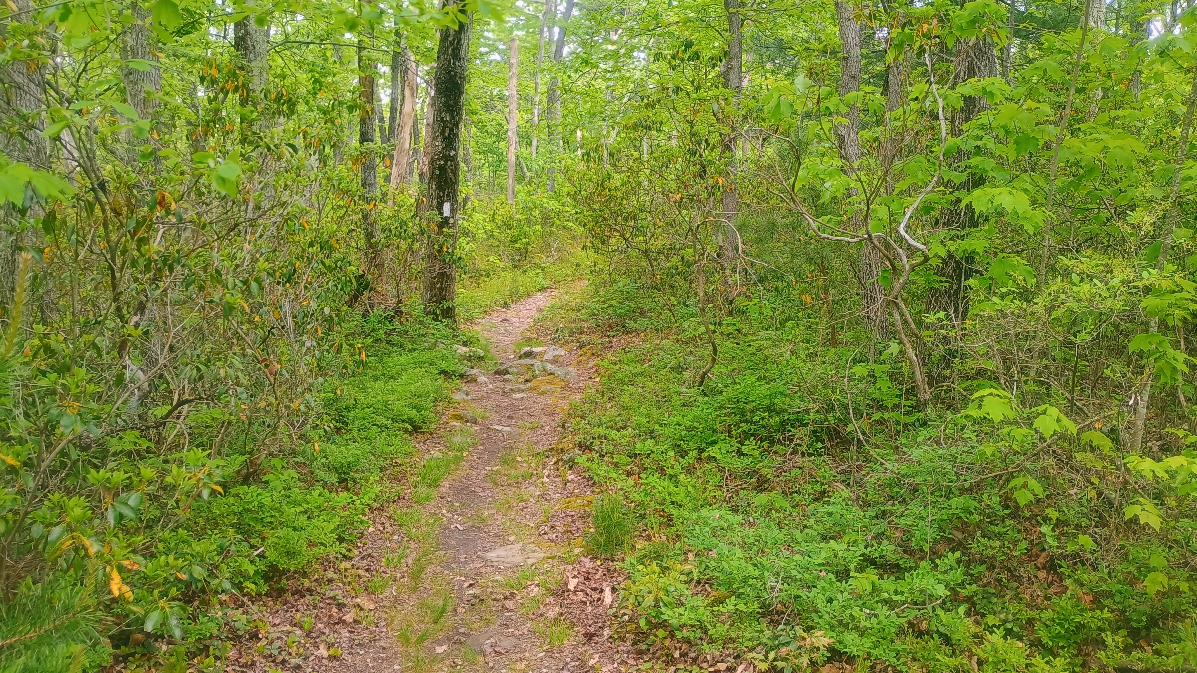
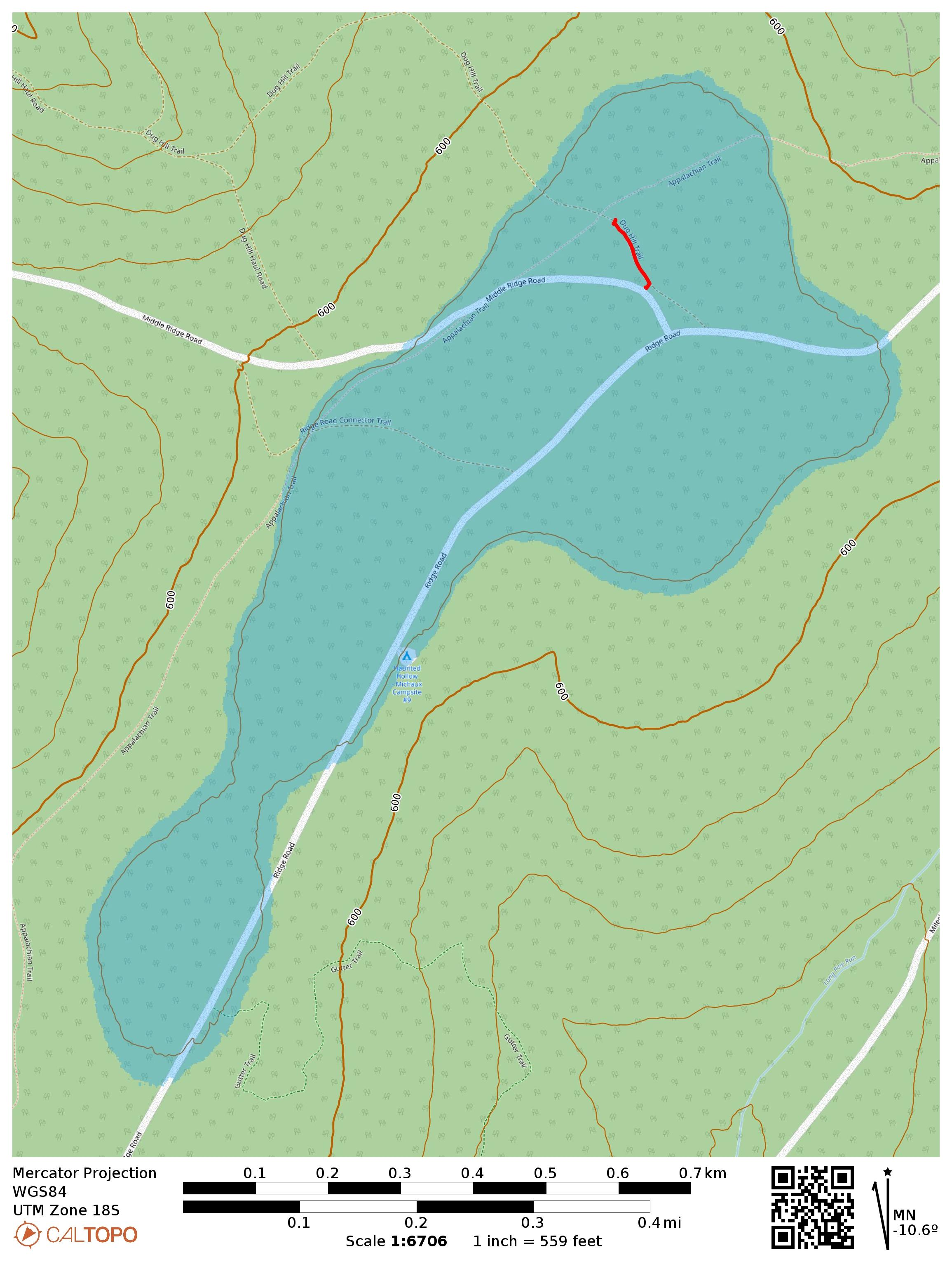
This is a drive-on and the Appalachian Trail goes through the activation zone. I drove along Ridge Road, turned onto Middle Ridge Road and parked where AC3B recommends, on a small grass patch large enough for one car. Here, a trail called Dug Hill Trail starts. As far as I can tell, it’s a short connector/mountain bike trail that gets little use. Critically, it passes right through the AT. I walked down this trail, admiring the little mountain laurel buds starting to bloom, until I got within 100 feet of the AT so I could activate it for POTA as well.
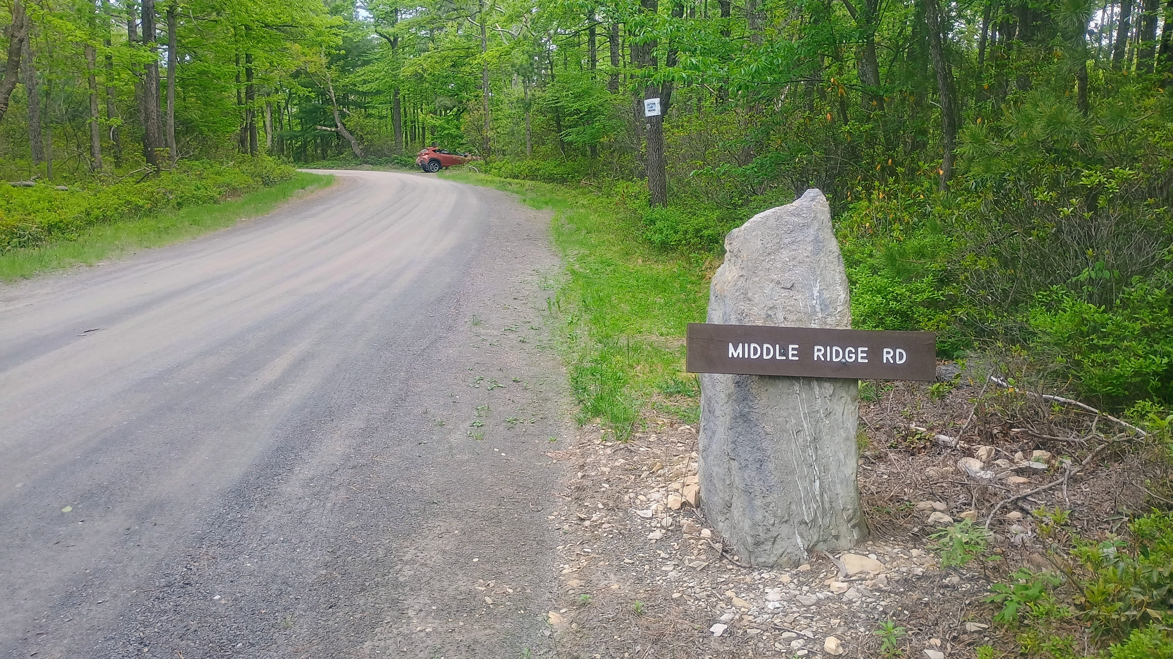
The turn on Middle Ridge Road is marked with this sign and the parking spot is just past it and off to the right.Dug Hill Trail starts just past the parking spot.The first mountain laurels are starting to flower!Peeking at the Appalachian Trail for good measure.
I set up my wire along the trail and got calling. Conditions were more settled after yesterday’s minor geomagnetic storm. I managed to get a couple S2S, WW7D on W7W/SNM-163 and AC7MA on W7W/CW-061. The Pittsburgh area SOTA afficionados tried to connect on 40m, but had trouble hearing me. I tuned my KX2 to 60m and managed to work Dan NM3A with a very strong signal, both of us using ~9W. He was using a 160m Carolina Windom antenna while my KX2 tuner got my end-fed 40m inverted vee to 2:1 SWR. I also was able to hear N2GBR, but he could not hear me. This has got me thinking about how to better weave 60m into my standard operating procedure now that the best days of Cycle 25 are behind us and it’s a long decline ahead.
This makes 39 completes! I have my eyes on Cornell Lookout near Lancaster for my 40th complete tomorrow, but it’s looking like a wet morning. I think I’ll stick it out — it’s not often that I find myself in eastern PA!
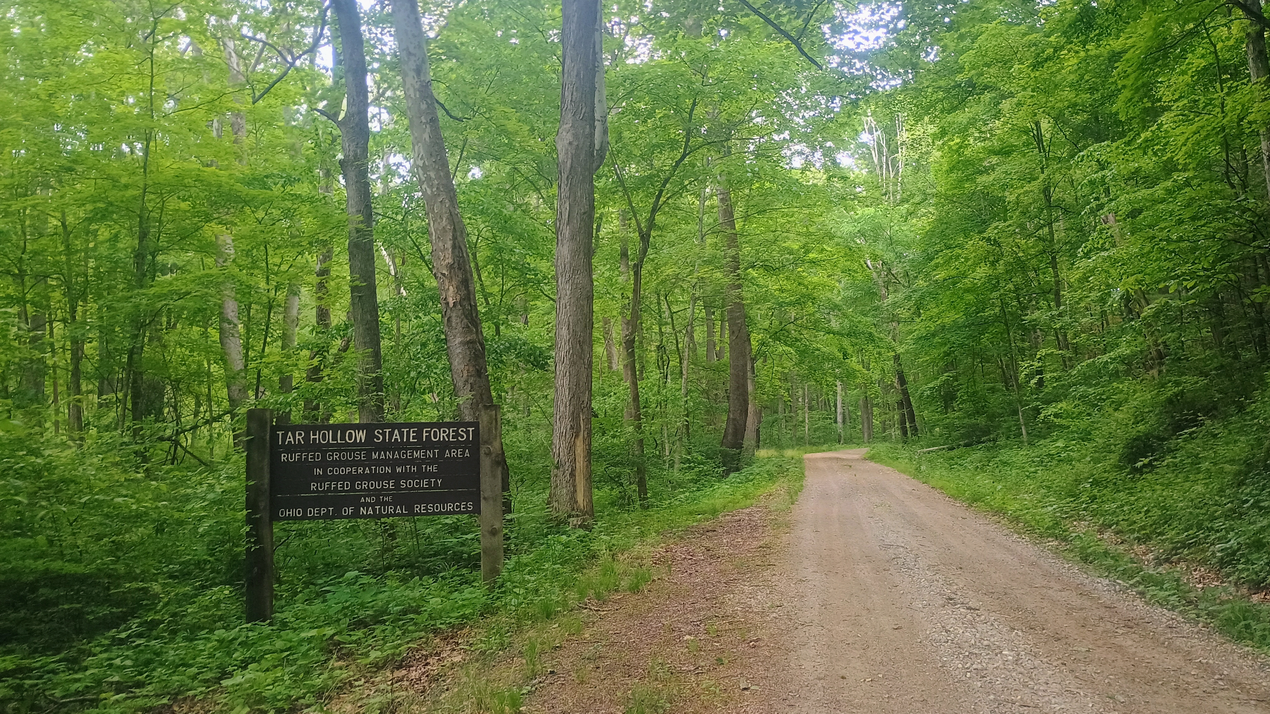
On the way back from my yearly trip to Ohio for Xenia Hamvention and Cincinnati to visit my folks, I detoured through Chillicothe to try some new-to-me SOTA peaks documented by Chris N8PEM: W8O/SE-012 1225 and W8O/SE-016 1190B. Both of these nameless peaks sit in Tar Hollow State Forest northeast of Chillicothe. I did not see any logging activity/traffic on my trip, but this was the last week of turkey hunting season in OH, which led to an interesting encounter!
W8O/SE-012 1225
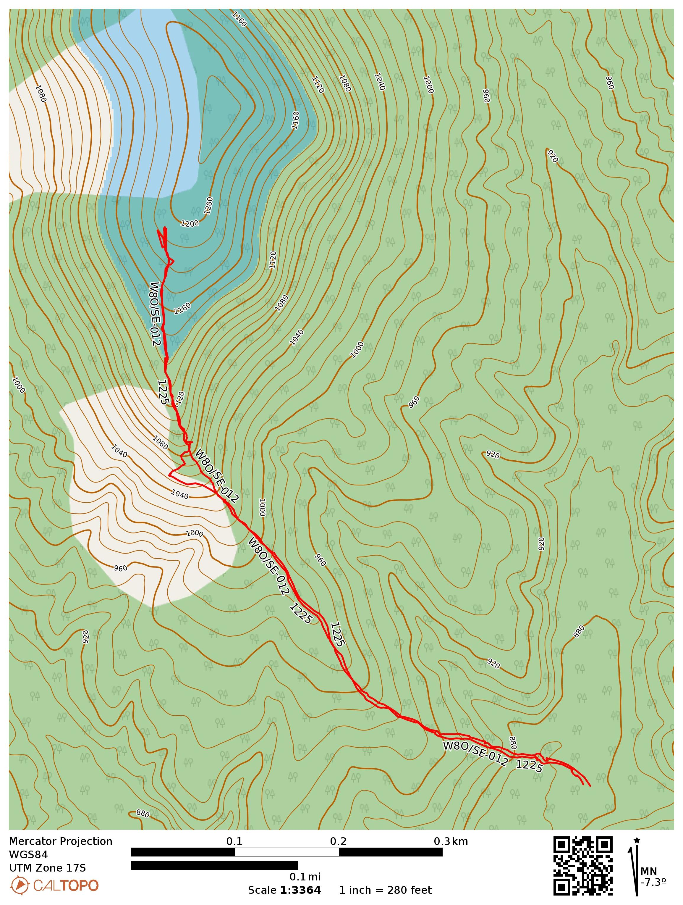
As suggested in N8PEM’s and KC8JPZ’s reports, I approached this site along Bunn Road. Once it enters the state forest, the road is unpaved, just like in PA. The gravel road had weeds growing in the crown, and should probably be tackled with a high clearance vehicle. I turned onto Park Road 12 to the trailhead, which has plenty of space to park off the road.
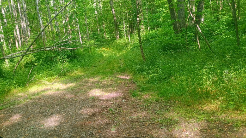
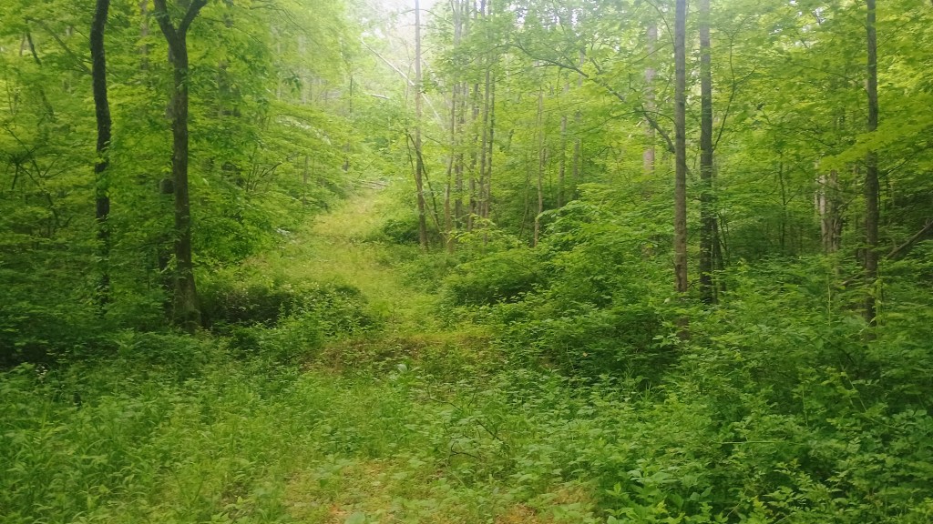
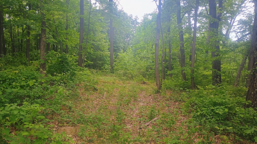
The overgrown path starts right from the parking area. Convenient!The path is easy to follow, if a bit green.
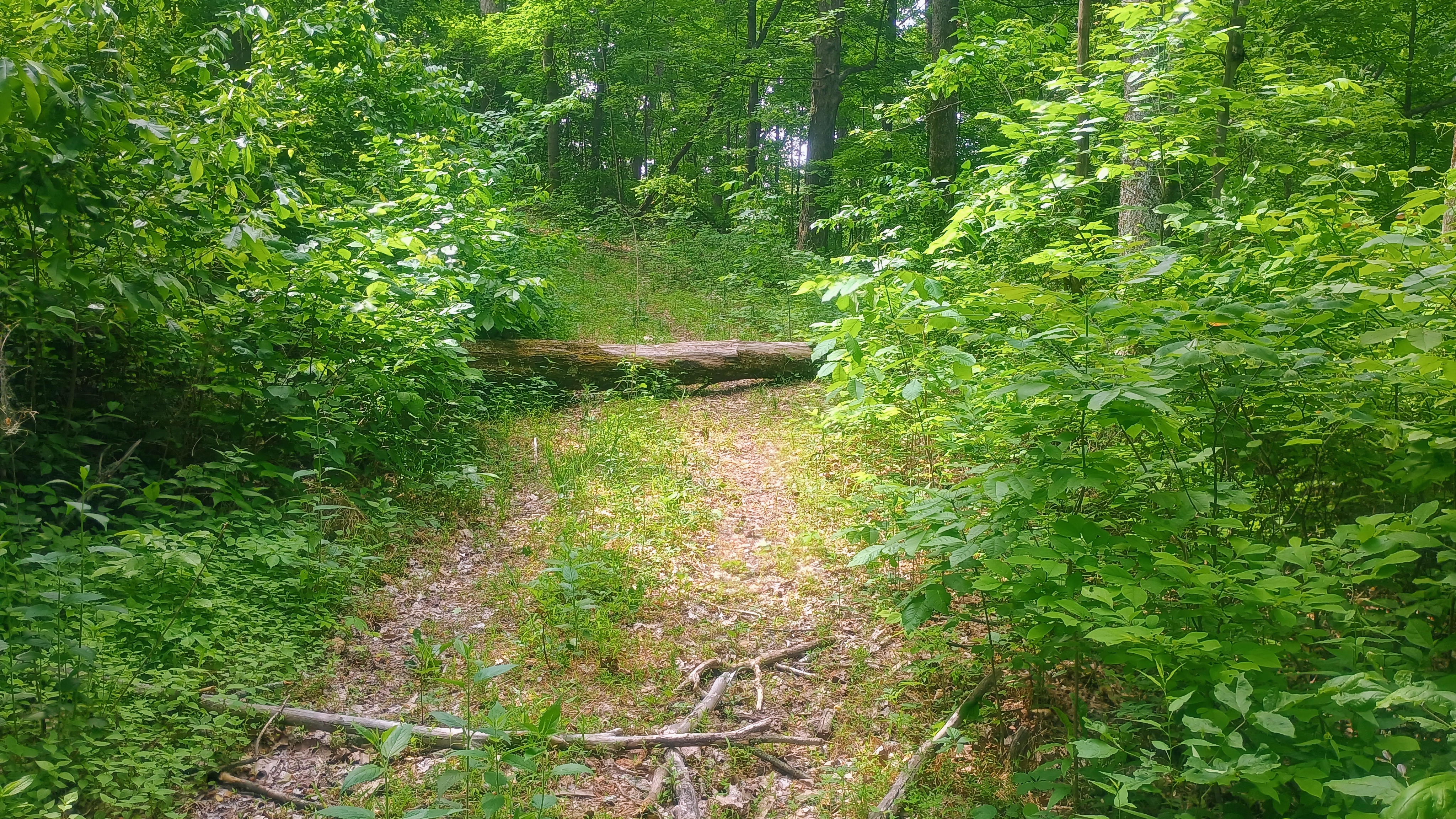
The path is an overgrown ATV trail that is fairly easy to follow, despite the growth. It crosses a creek/ditch, and then gradually climbs up into the activation zone. There are a few downed trees that have to be crossed near the beginning of the trail, and closer to the top, thorny briars cross the path. The trail got so overgrown that I thought the only way up would be to bushwhack (reader: the trail is there. Stick with it!) All in all, this is much better and faster than pure bushwhacking! About a half mile into the hike, the path ends in a large clearing and it’s an easy spot to get a wire up.
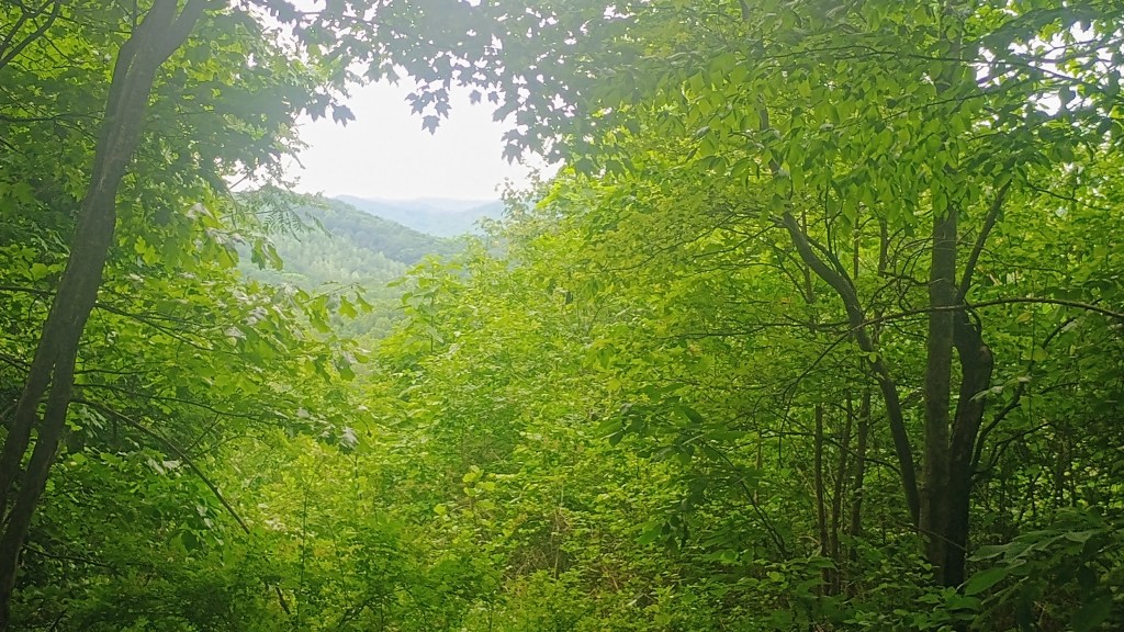
Turn around near the top for some views of the rolling hills.There is a clearing in the AZ that is a good spot to operate from, but there are ticks!
I noodled around a bit on 40m, enjoying a relaxed pace, getting 27 in the log in the end. I did try 15m to round things outd, but I don’t think band conditions were too great, with a K index of 5. I managed to work F4WBN and DL9NCI on 15m for DX.
I didn’t bring my permethrin-treated clothes on this trip, so I had to flick off a couple ticks when I made it back to the car. I’m starting to know what a tick crawling across my leg/hand feels like! Their little legs are sharp, and they start charging fast when they realize you found them!!
Trailhead: 39.39943, -82.81673 : Pullover in front of ATV trail by Park Road 12, in the Ruffed Grouse Management Area
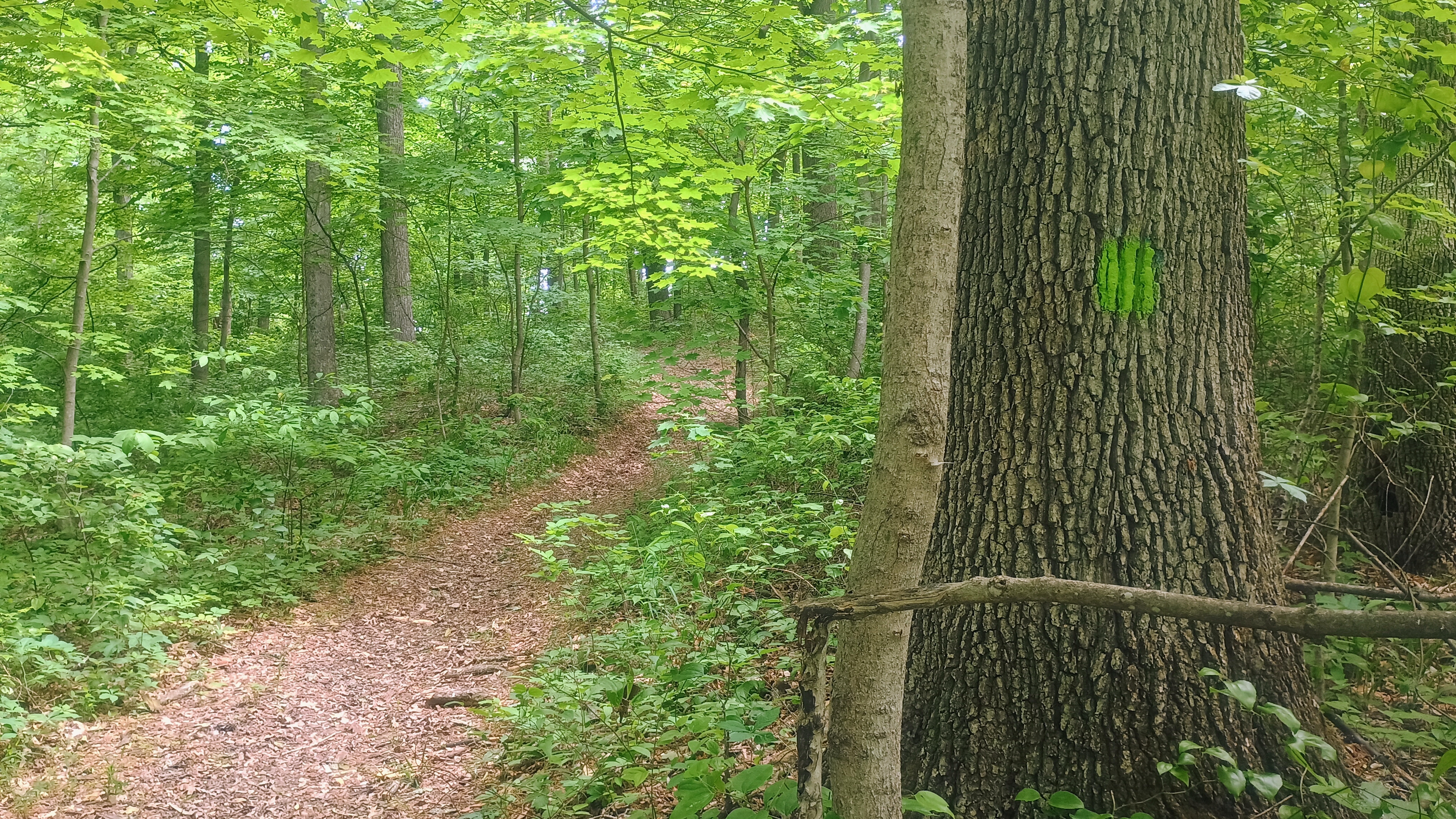
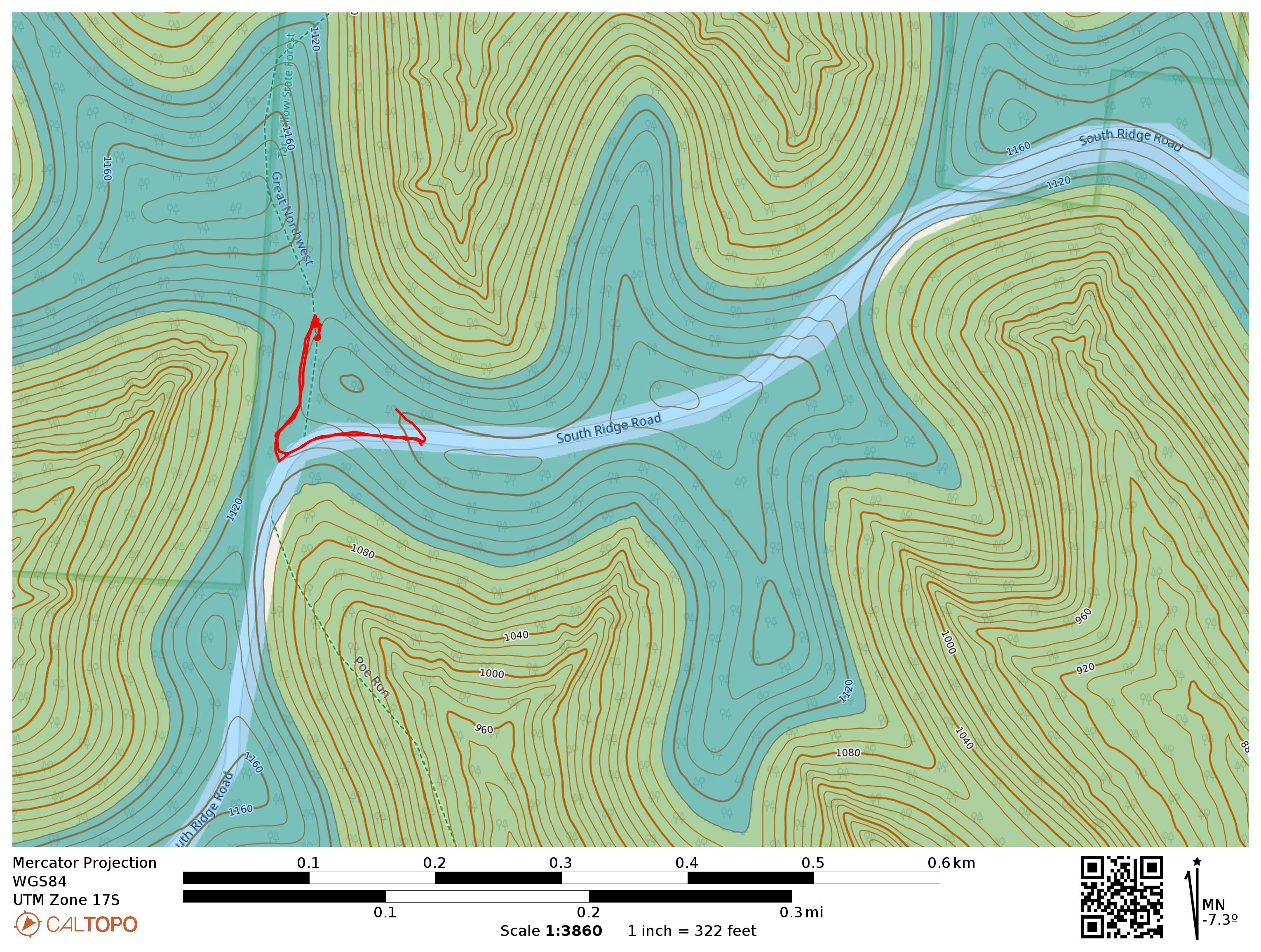
This one is a drive-on, with the high point on South Ridge Road. I drove on to park on a side gravel road. This would have been a convenient place to set up, but another car was parked there. Instead, I took a short walk down the road to the Bridle Trail until I found a log to sit on. The trail was marked with green blazes.
As I had finished setting up, a father and his two teenage children walked by, all decked out in ghillie suits. The kids, a brother and sister, were each holding a camouflaged shotgun, confirming that they were looking for turkey before the season ends on Sunday. They passed by me and the log, continuing north on the trail, no doubt going to where the turkeys were. Despite growing up in Ohio, this was the first time I had seen hunters in the state. Tells you something about where I usually hung out!
The parking spot.Bridle Trail is blazed green.The log for sitting. I used PoLo for logging.
Since it was 11 am local, I started on 20m, working Gary W0MNA and Martha W0ERI, the SOTA duo that I had just met at Dayton! This was now the 53rd time I had worked both of them on an activation. That’s over a third of all my summits! I worked the same DX as on the last summit, F4WBN and DL9CNI, just this time on 20m. They sounded stronger on 15m, but still good copy. After some time on 40m for the locals, including KF9D who is one of the 11 activators who has done this peak before, I packed it up with 23 in the log.
I didn’t hear any firearm discharge the whole time, so perhaps no turkeys were harmed today.
Trailhead: 39.34548, -82.79135 : Gravel road that meets South Ridge Road
Route: Drive-on. I walked just about 0.1 mi into Bridle Trail (green blazes) to find a log to sit on in the AZ. The zone is large, so there are many potential operating locations.
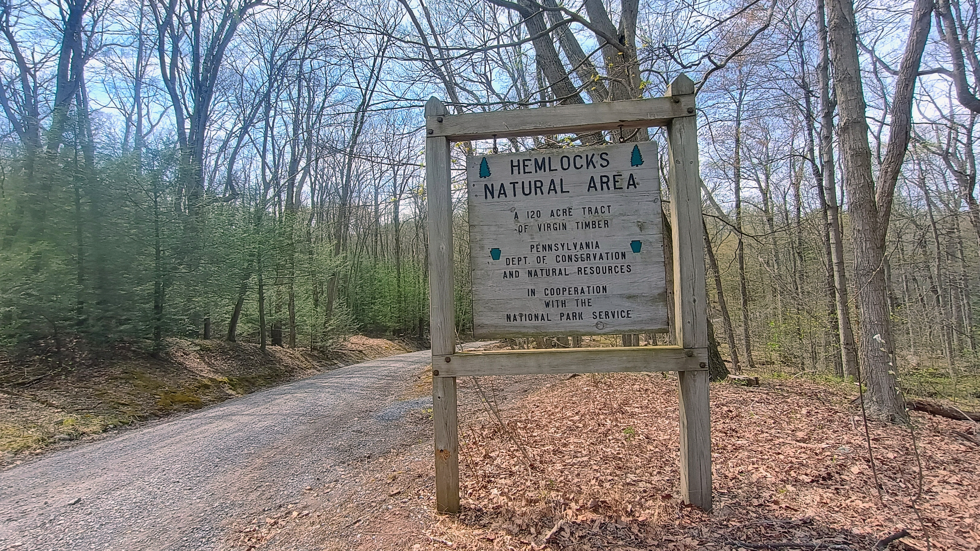
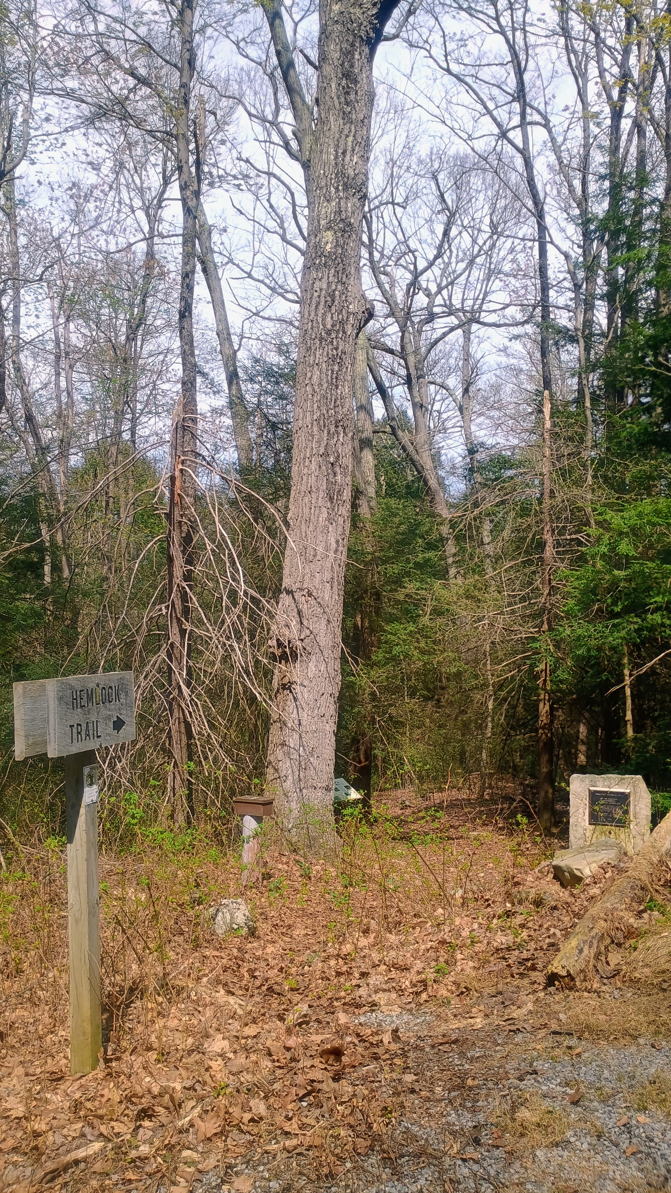
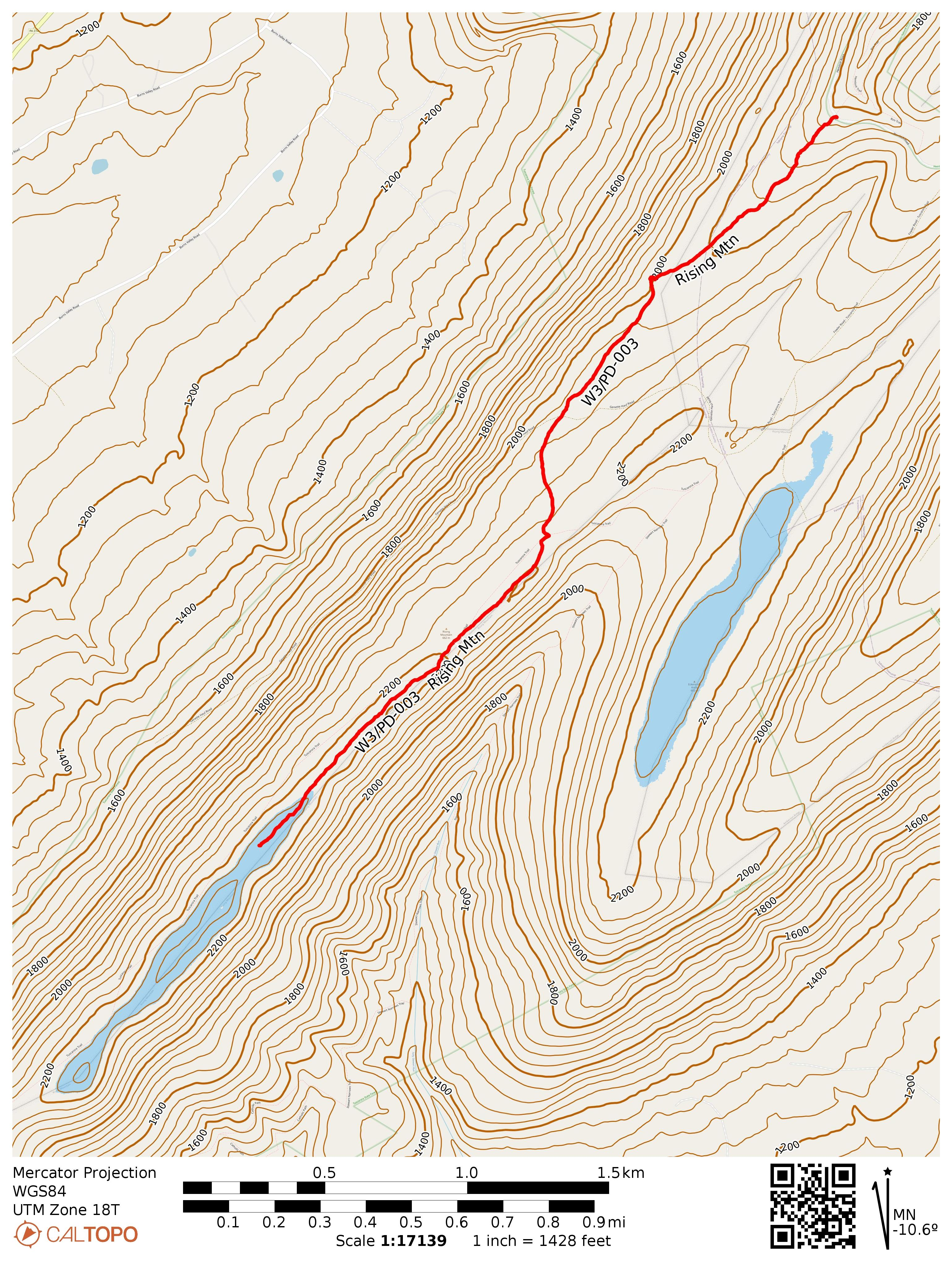
After my activation at Blue Mtn, I drove north through Tuscarora State Forest, past Fowlers Hollow SP, to Hemlocks Natural Area, an area that KC3TVC reports as “excellent wilderness.” I agree! This is one of the more scenic SOTA hikes I’ve done in a while. I walked north along the Hemlock Trail into the 120-acre old hemlock forest for a bit to take in the large trees, and then returned to the parking area to start the hike south on Bear Ponds Trail towards Rising Mountain, which lies on the Tuscarora Trail.
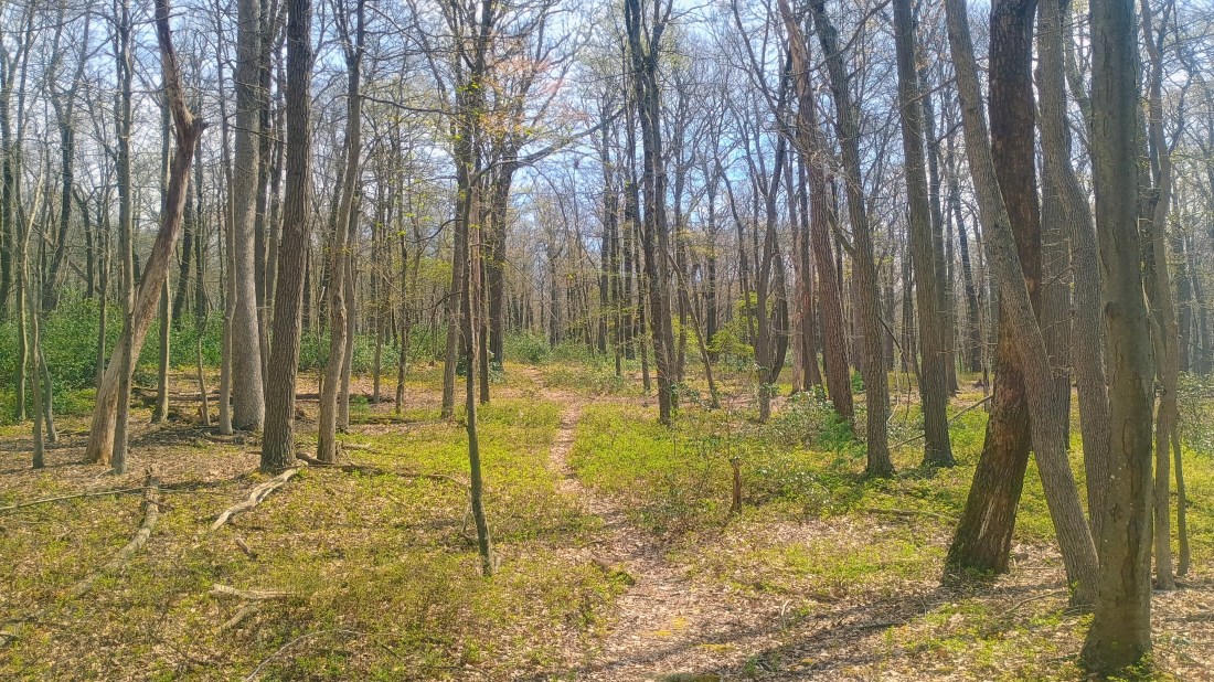
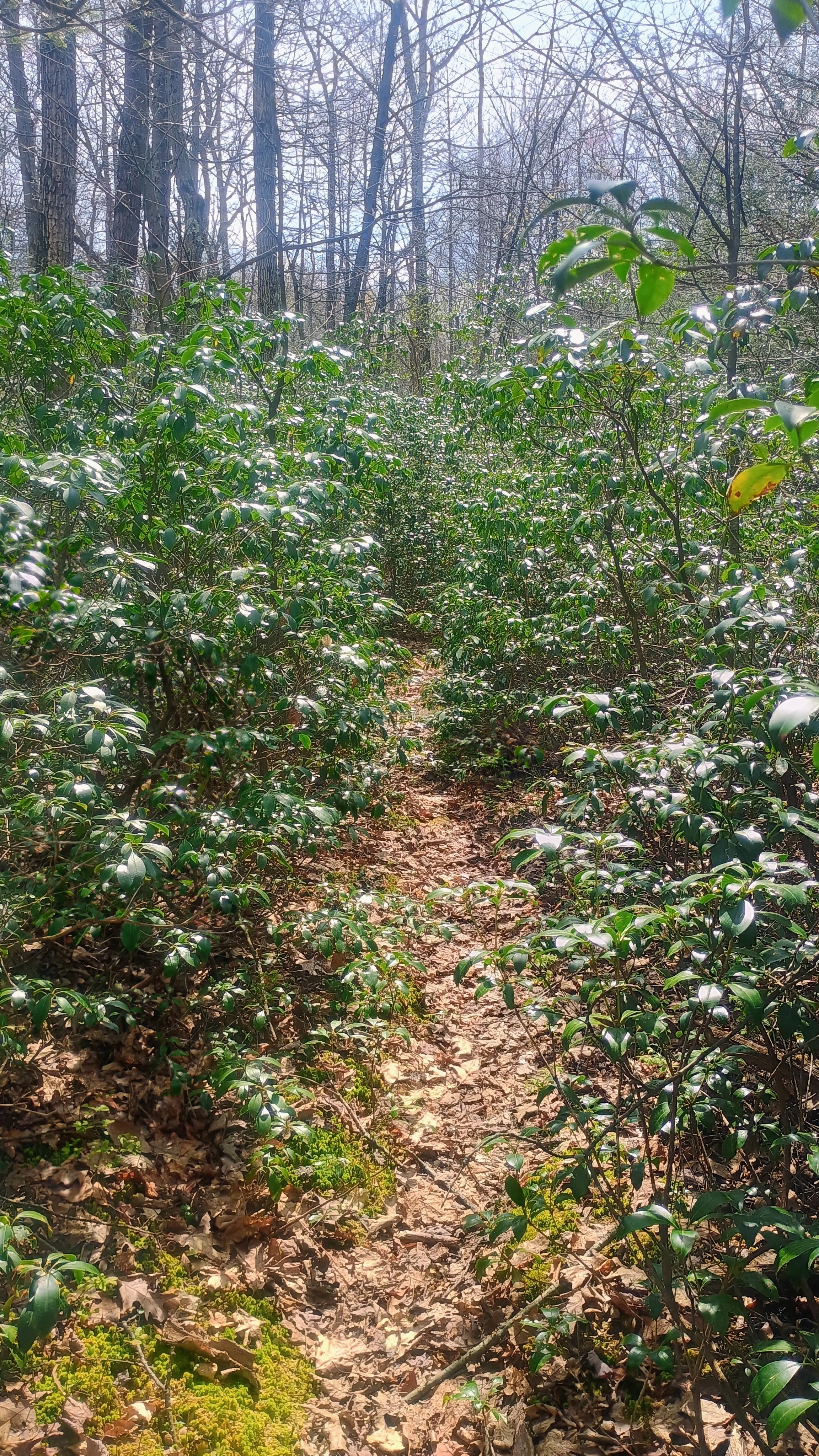
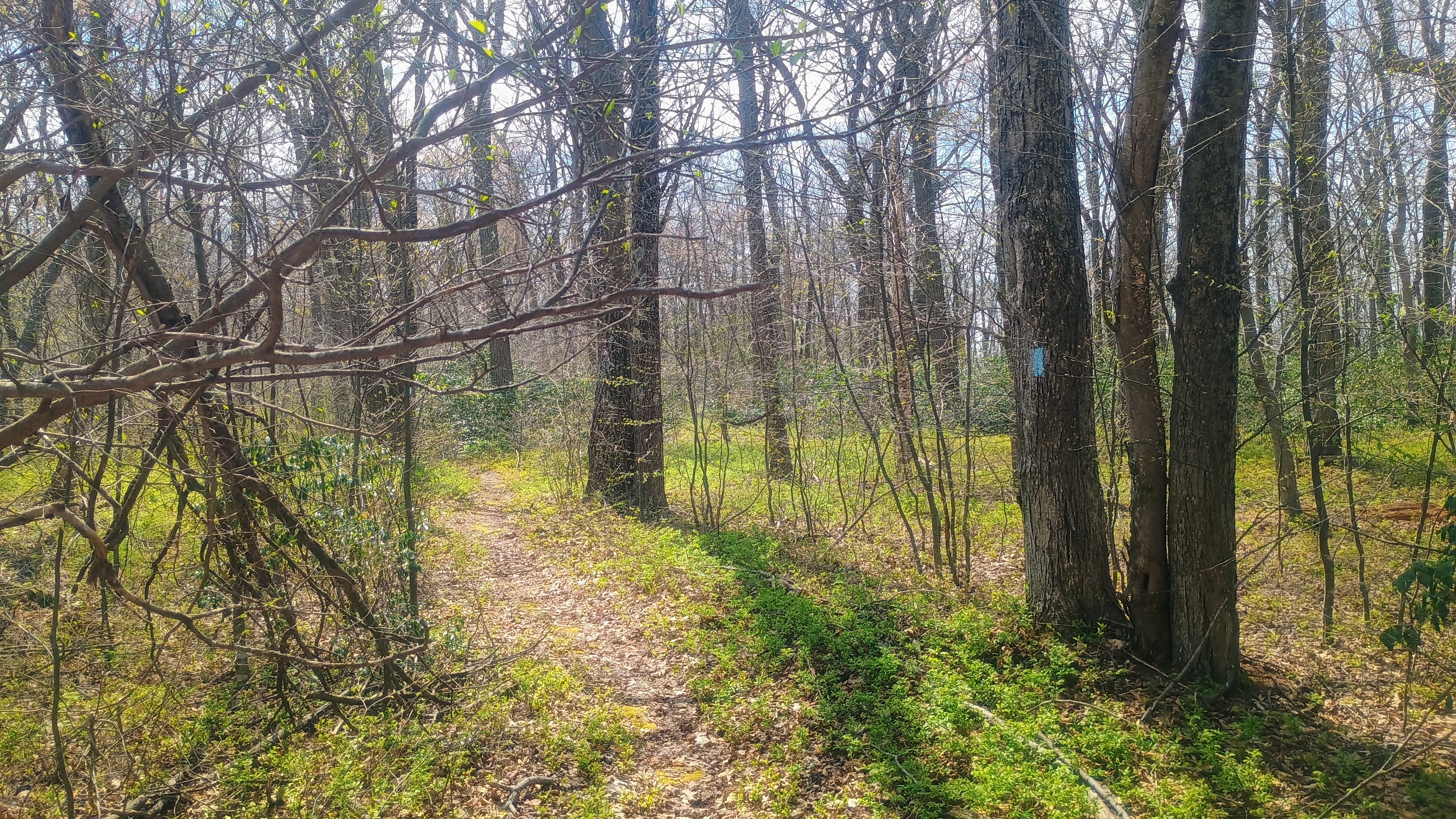
I followed the red-blazed Bear Pond Trail for a half mile through some mountain laurel and young forest until I joined the blue-blazed Tuscarora Trail.
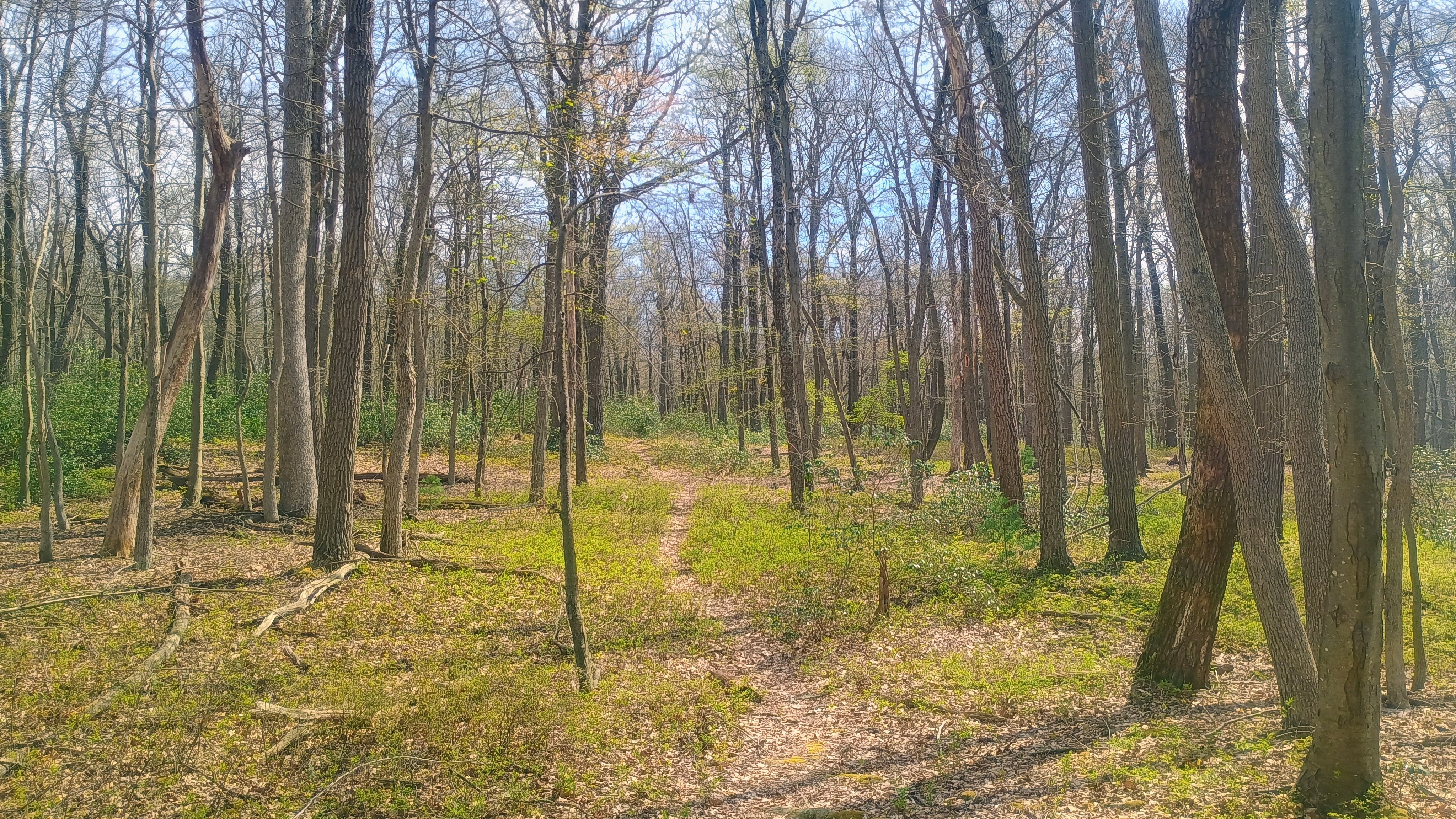
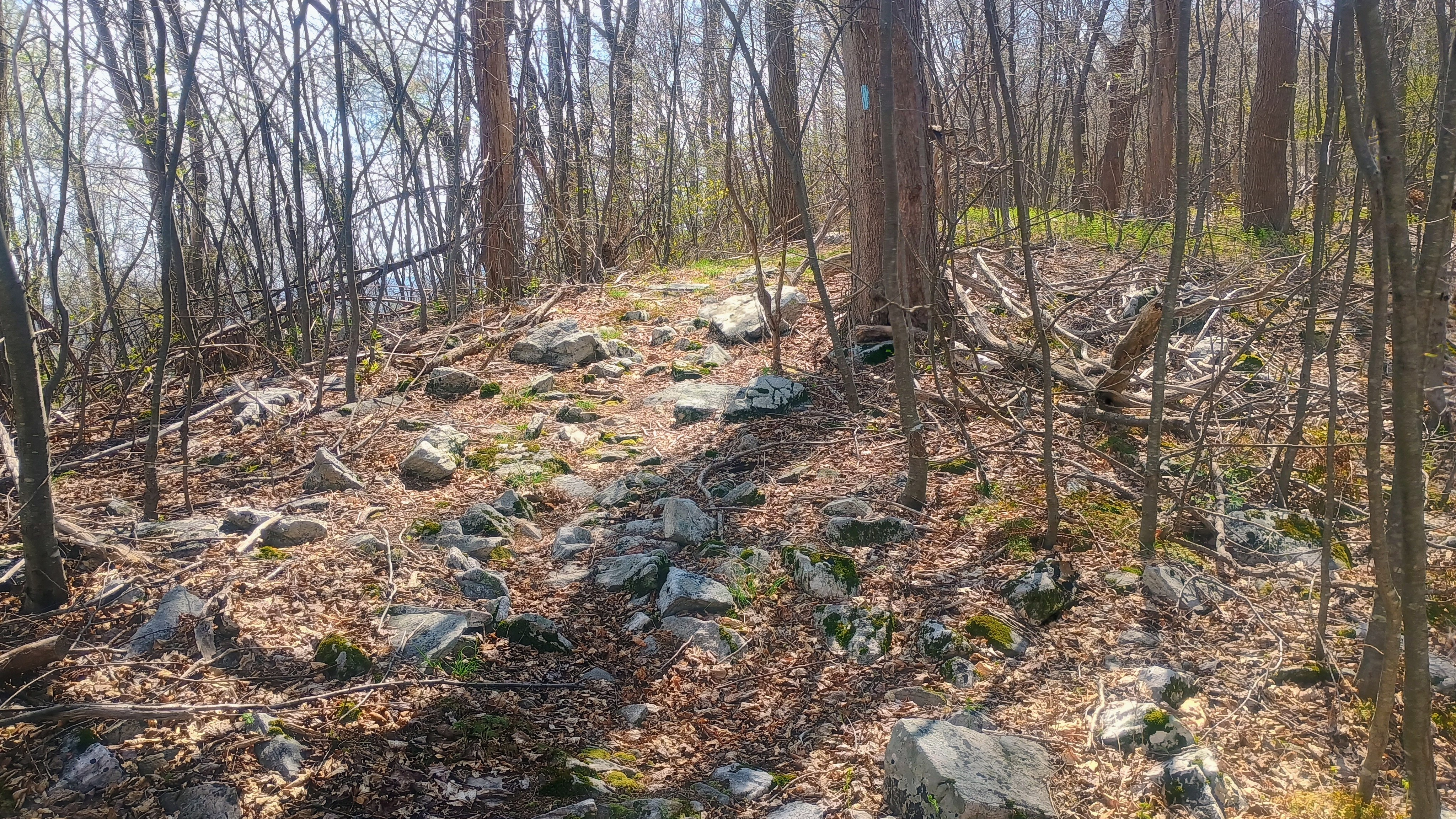
From here, the path got a bit rockier, following the ridgeline of Rising Mountain. Along the way I passed a local who was excited to see somebody else on the trail, and we chatted for a bit. I suppose Tuscarora is not one of the more popular long-distance trails. It’s 250 miles, so I’m not sure that many folks attempt to through hike it.
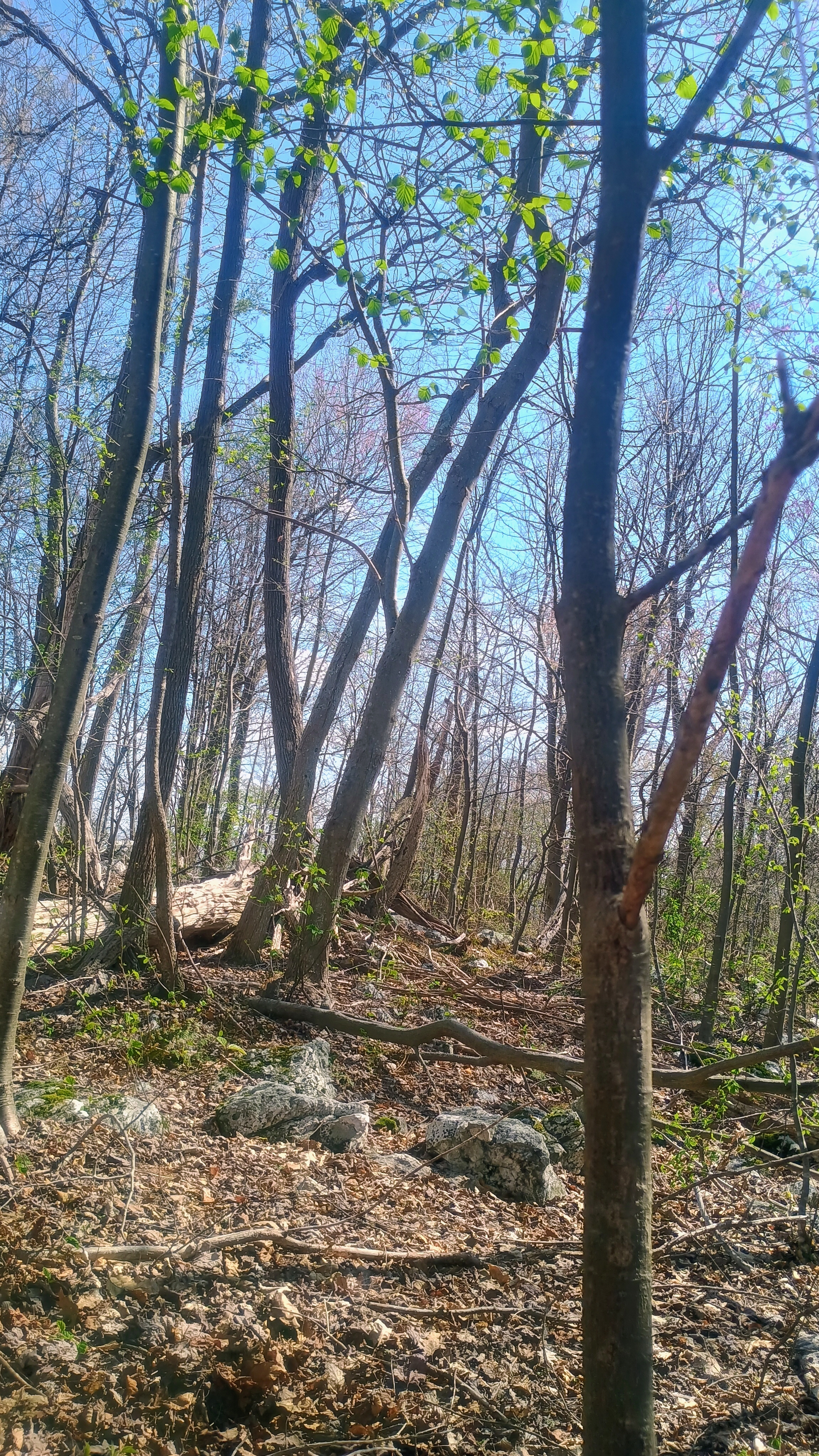
After a little over 2 miles, I was in the activation zone and found a small clearing by the trail to set up and operate. I managed to work JB KC1MXB on 40m for a second S2S, this time on W1/AM-350. My other S2S was on 20m with K6EL on W6/NC-298 in Berkeley, CA, my third S2S with El on my beloved Vollmer Peak.
Trailhead: 40.23508, -77.64443 : Hemlocks Natural Area parking
Route: 4.5 mi RT hike on Bear Pond and Tuscarora Trail, 500 feet gain.
POTA: US-5479 Tuscarora State Forest
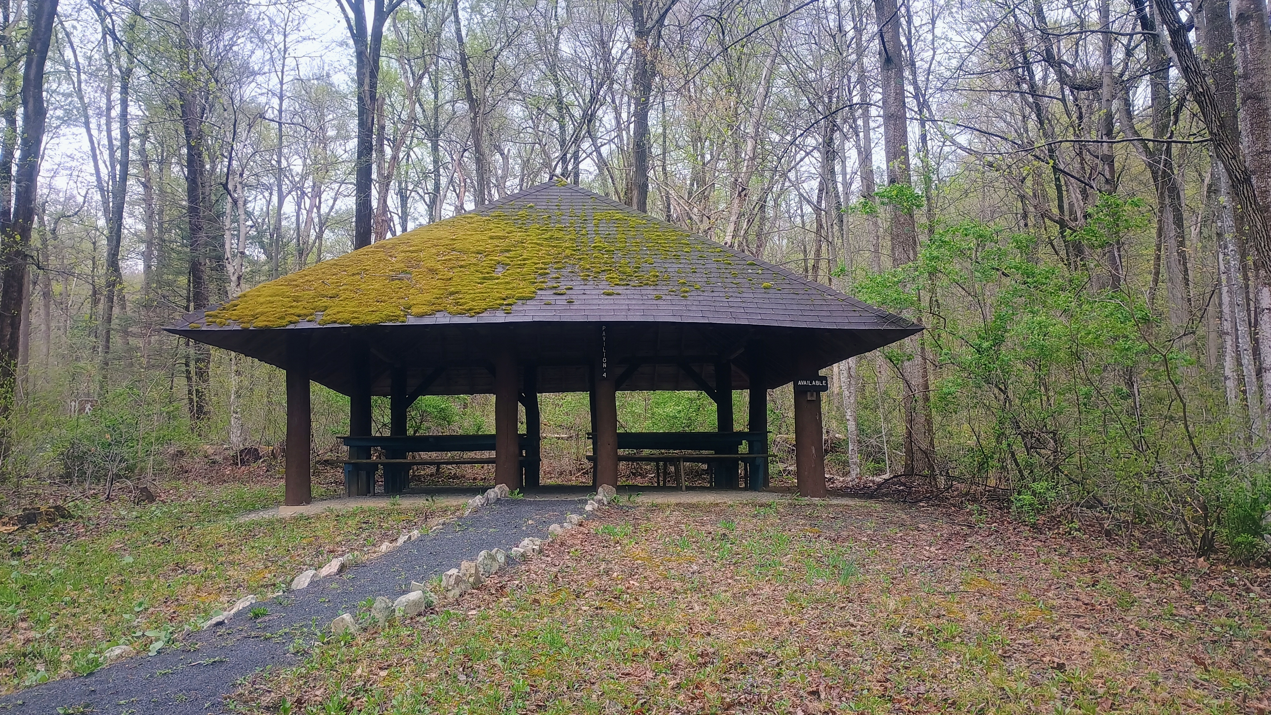
After this hike I camped at Colonel Denning State Park, where I got in an evening POTA activation. The next day was a rainy morning, so I just found some picnic groves in nearby Fowlers Hollow SP and Big Spring SP for a couple more POTA activations on the way home. Big Spring was particularly pretty, and there is an abandoned railroad tunnel to check out on the next visit.
After activating Clarks Knob, I moved on to W3/PD-004, one of several SOTA peaks on Blue Mountain, which is one of the major mountains the PA turnpike tunnels through. Jill N3ICE and Jim AC3B, two legendary W3 activators who have been on a quasi-hiatus from SOTA during recent years, had activated this summit in January to break their radio silence. I managed to chase N3ICE during their activation, which put this peak on my to-do list. Today was the day to check it off!
I drove into Tuscarora State Forest along Three Square Hollow Road and parked at the gate on Blue Mountain Road (which was closed), then continued from there on foot. Many other activators report poor/icy conditions in the winter, no doubt attracted to the potential winter bonus. These forest roads are all gravel/unpaved and not maintained in the winter so I feel it would be tough going in the winter, but this was perfectly fine in the spring.
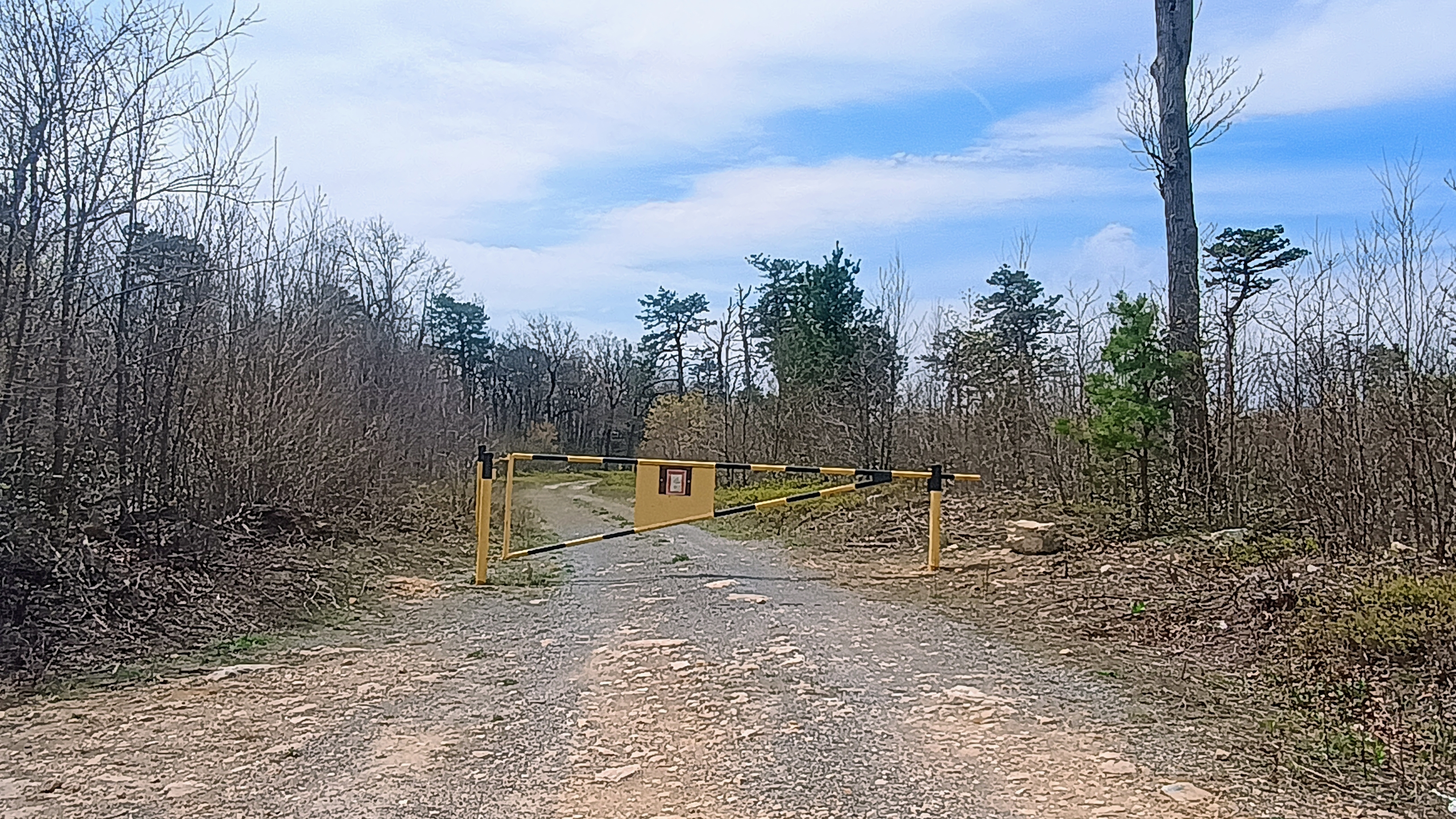
This gate may be open seasonally, but the hike is very short.
After just over a half mile of a relatively flat hike along the road, I was in a large clearing in the activation zone and set up there, near a primitive campsite with a fire ring in front of a second gate.
I worked 6 QSOs on 40m, and 5 QSOs on 20m, including two S2S: KG5AUU on W5O/OU-002 (a SOTA activation in Oklahoma, rare for me to see!) and K7GT on W7O/SC-044. Since I had one more hike to go before setting up my campsite, I packed up quickly and got on to the next one.
Trailhead: 40.20506, -77.57793 : Parking area by gate on Blue Mountain Road
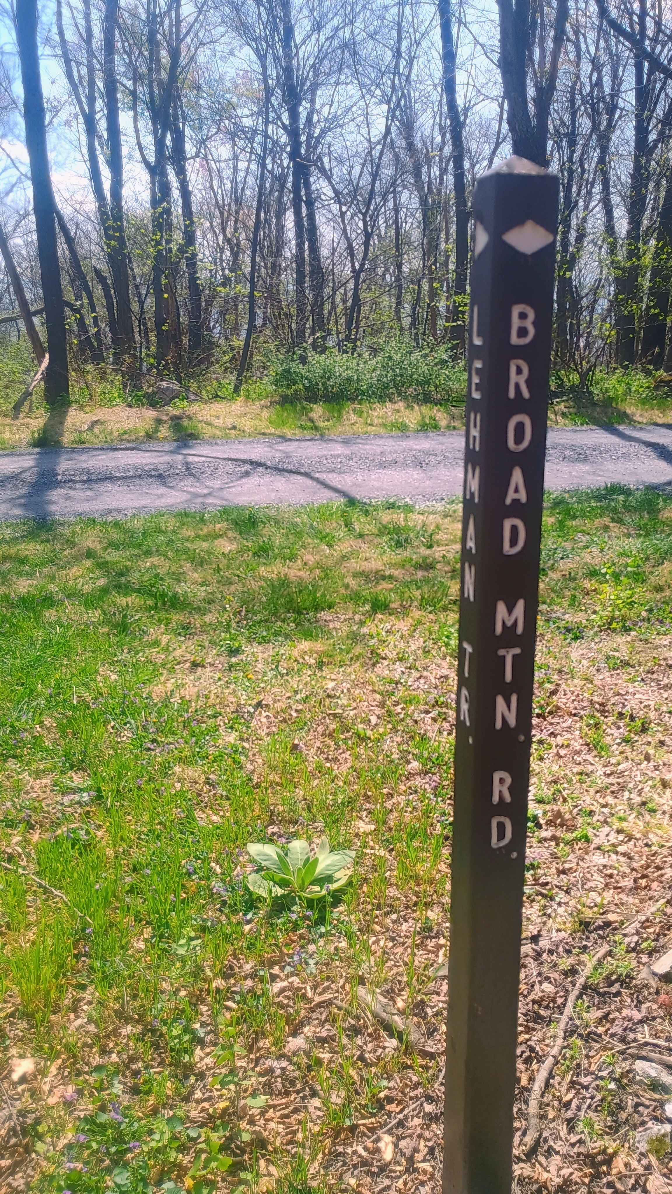
This SOTA activation was part of a one-night camping trip to Colonel Denning State Park in Cumberland County, near Tuscarora State Forest. This was an easy drive-on on my drive east, a quick stop in the Bear Valley division of Buchanan State Forest. I drove along Bear Valley and Broad Mountain Road which were in good condition. I parked around the trailhead for the Lehman Trail, a singletrack MTB trail a bit down the road southwest from the towers, and strung my wire up alongside the road and worked the contacts.
While this was just a quick one, it became a “Northeast SOTA Buddies” activation, and I worked S2S with three of my most frequent chasers: JB KC1MXB on W1/AM-109, Eric VA2EO on VE2/QC-106, and Roy WN3F on W4V/SH-024, all on 40m! One of the advantages of activating on a Saturday: S2S abounds!
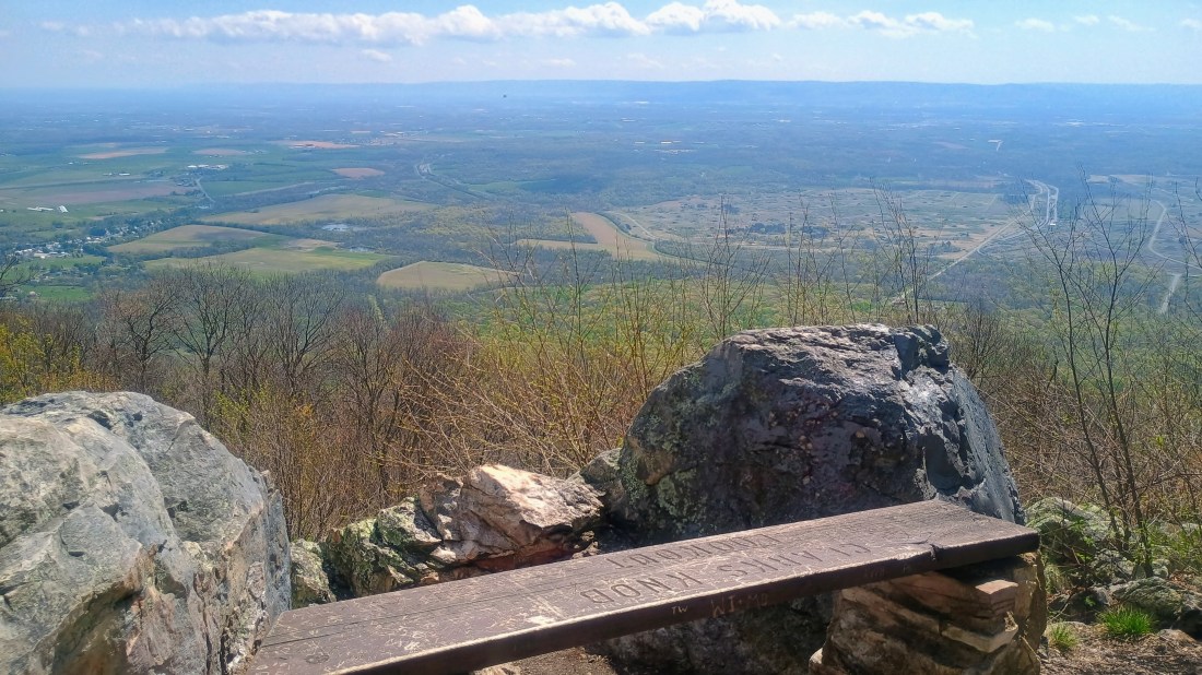
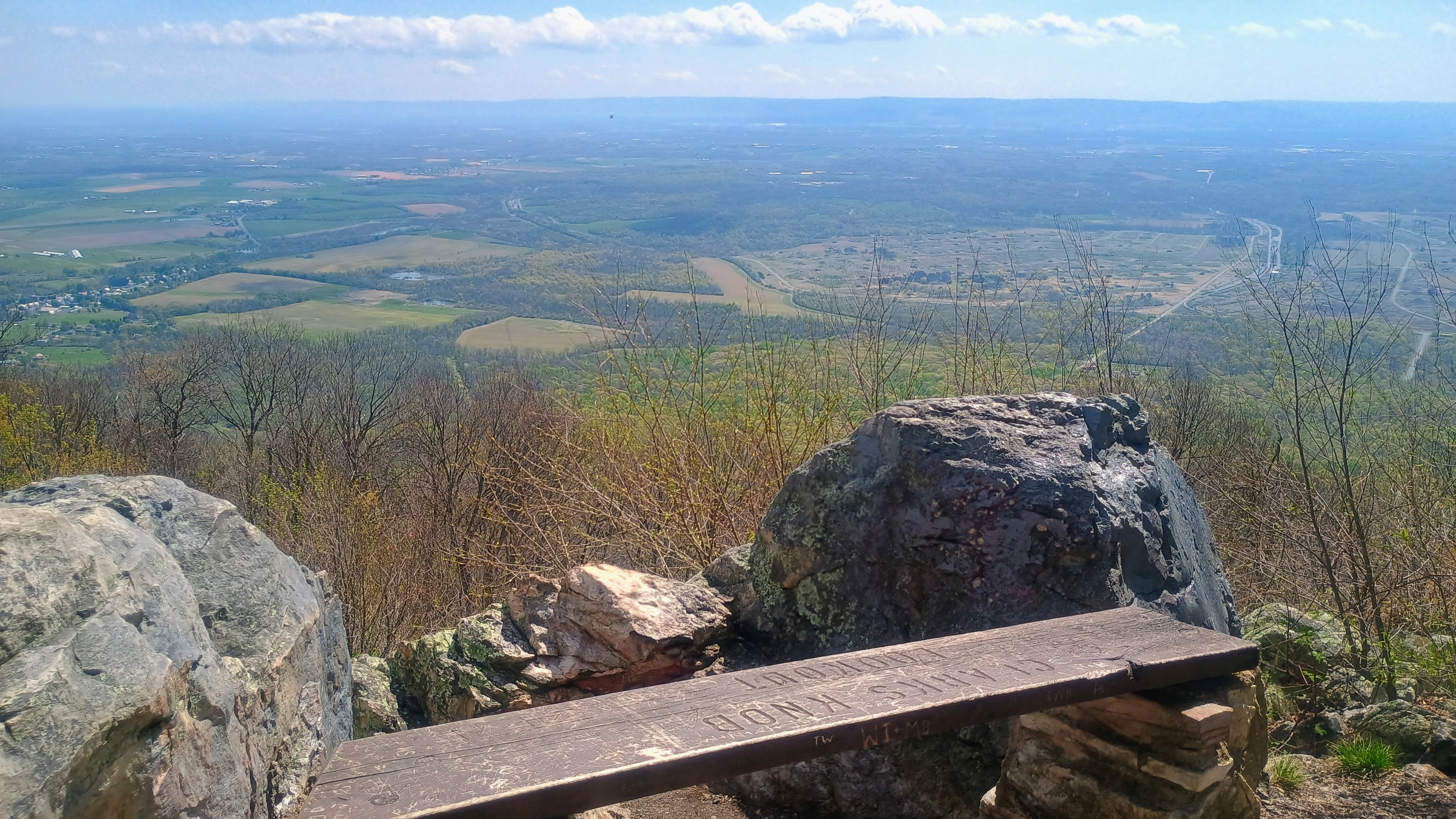
This site overlooks the Letterkenny Army Depot which is in the valley to the east. I’m not sure what happens there, but it is blotted out over every map. A cursory search tells me that missile systems are repaired and modernized there. It probably would be best to stay away!
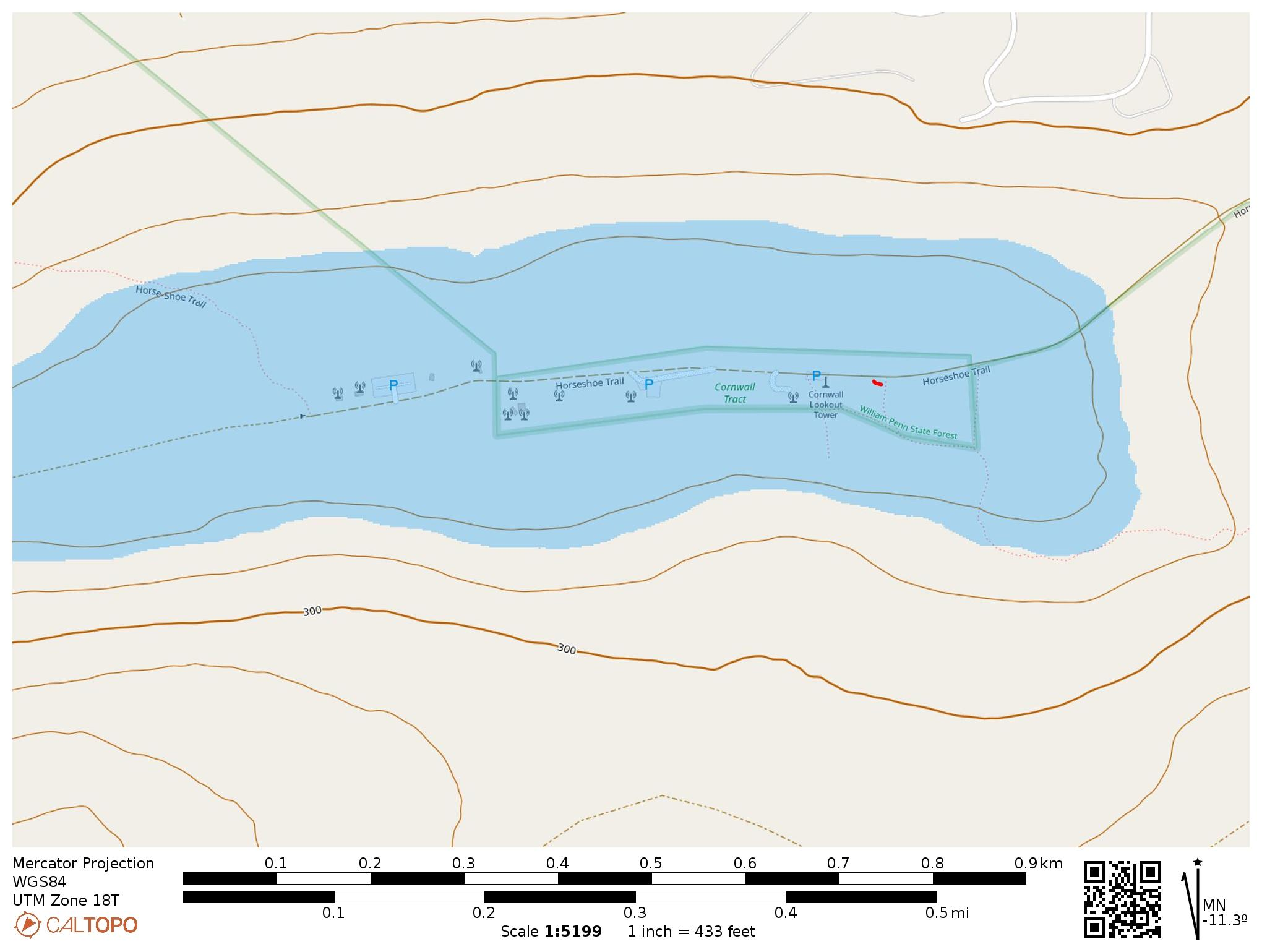
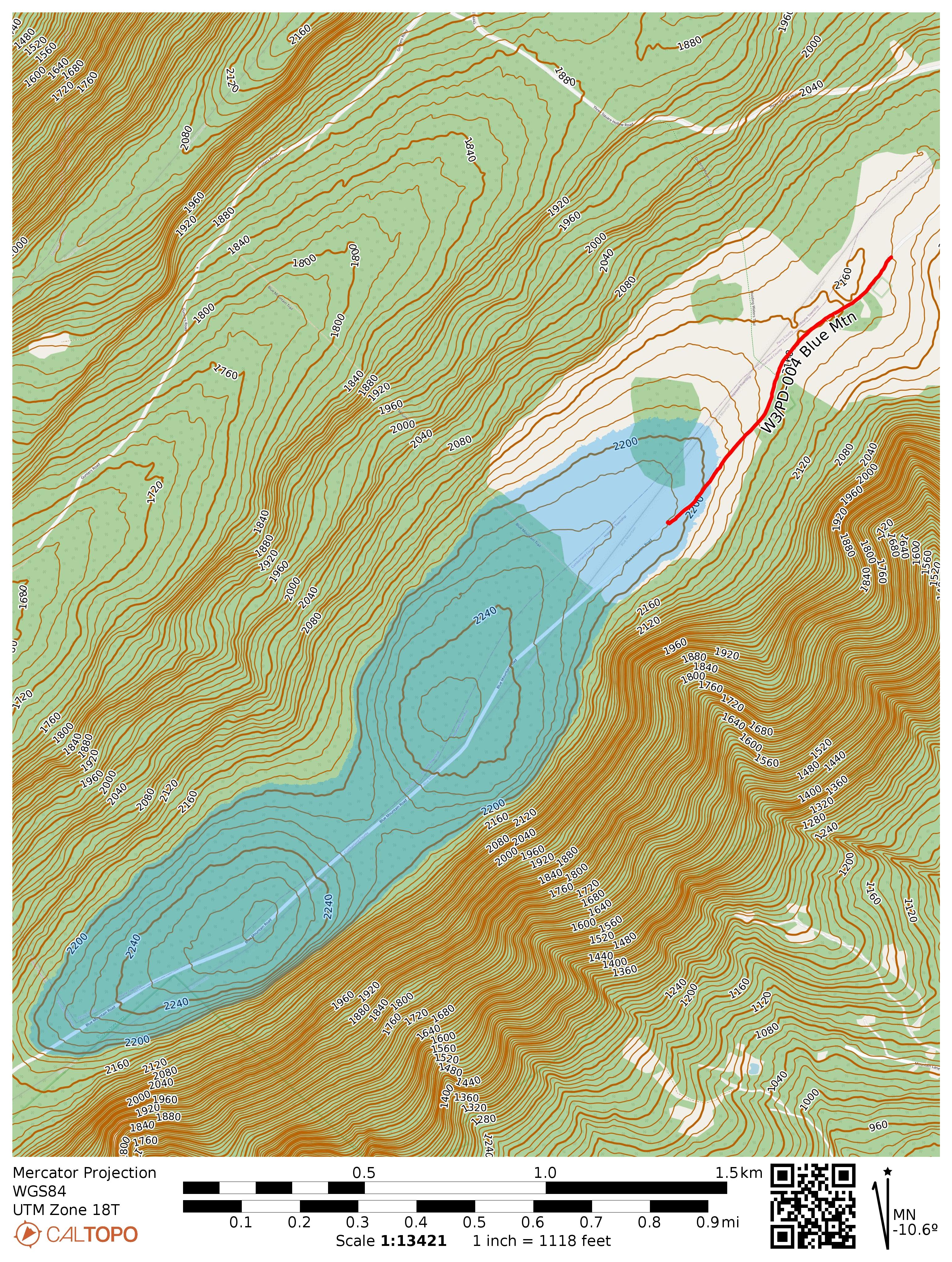
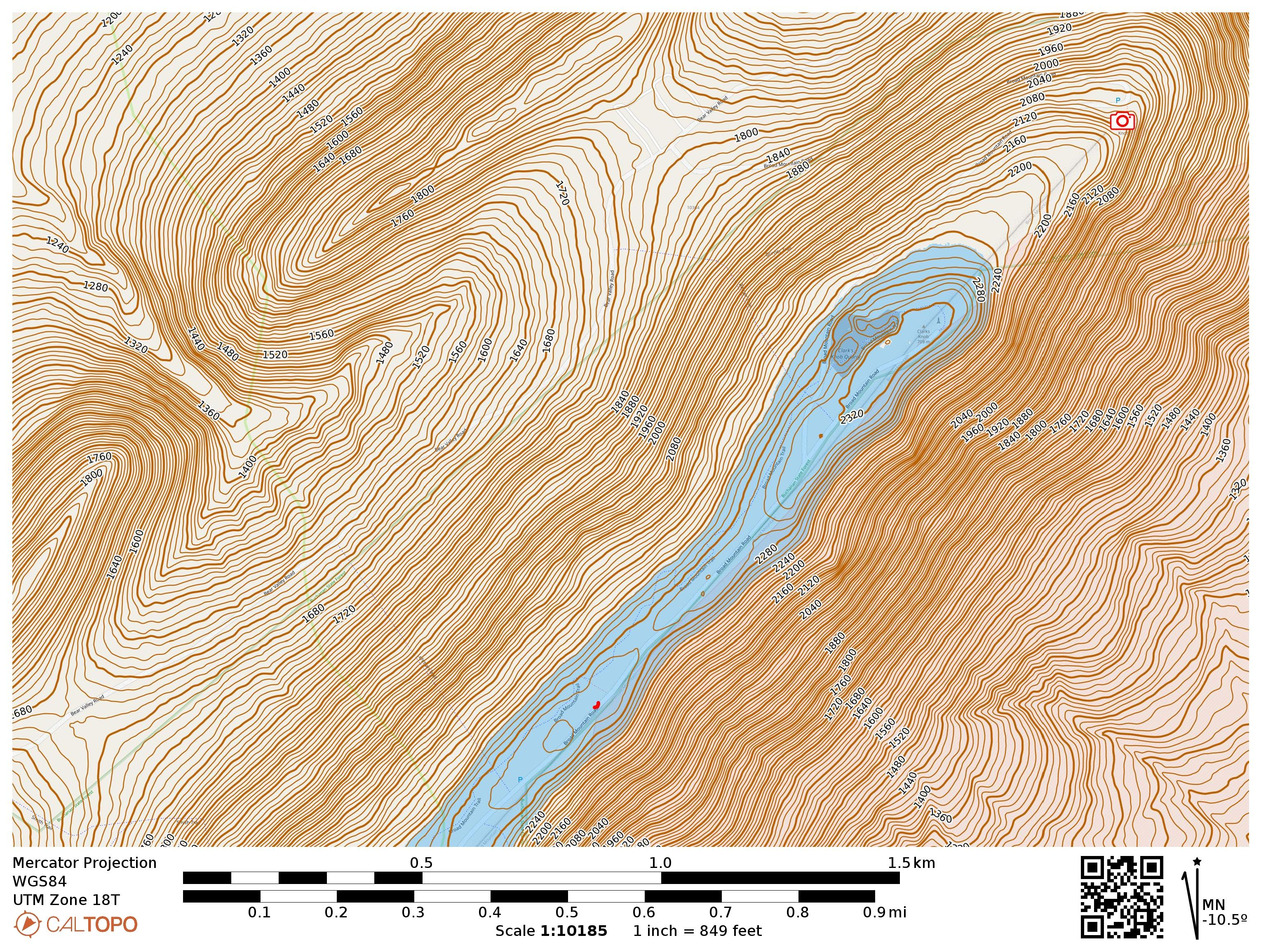
There is a broad activation zone. I operated near the bottom of this map, at the small red squiggle. Clarks Knob Overlook is part of the drive up and marked with a camera.
Trailhead: 40.04289, -77.75591 : Pulled over from Broad Mountain Road, though there is lots of parking on the ridge. 40.04161, -77.75766 is parking for access to Lehman Trail and would be another good spot.
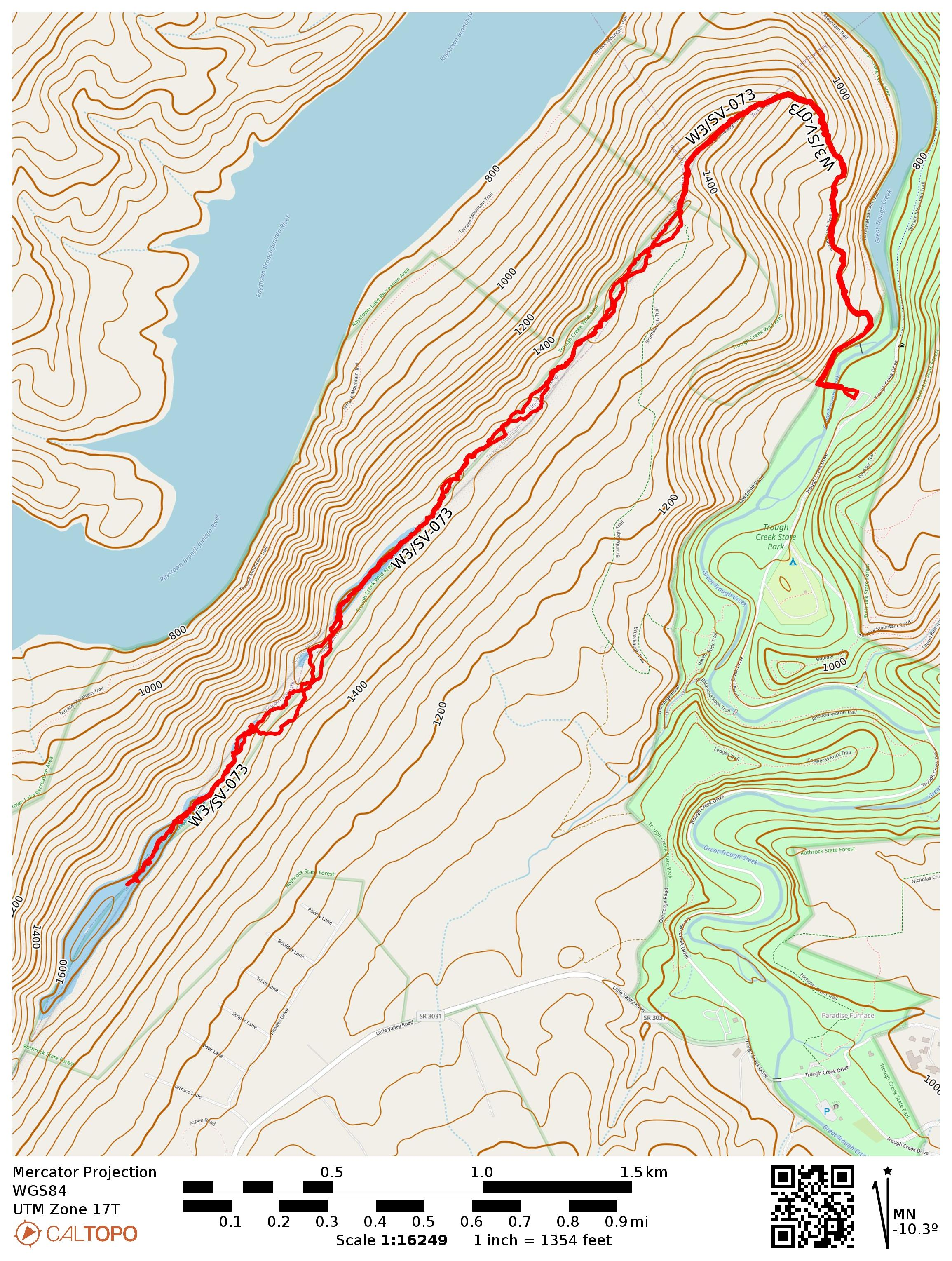
On a weekend trip to Huntington, PA with Luna, I got out for this first activation near Trough Creek State Park and Raystown Lake. While the peak is unnamed in the SOTA database, it is part of Terrace Mountain. It was late March and the temperature was a chilly 30F at the start of the day, but I welcomed that since my route would require 4 mi of bushwhacking round trip along the ridge. I parked at “Area 5,” not far from the famous Ice Mine, a small stairwell into a prospecting hole where cool air gets trapped underground and ice forms on humid days. It was cold enough today, so I refrained from climbing into the dark shaft at this time.
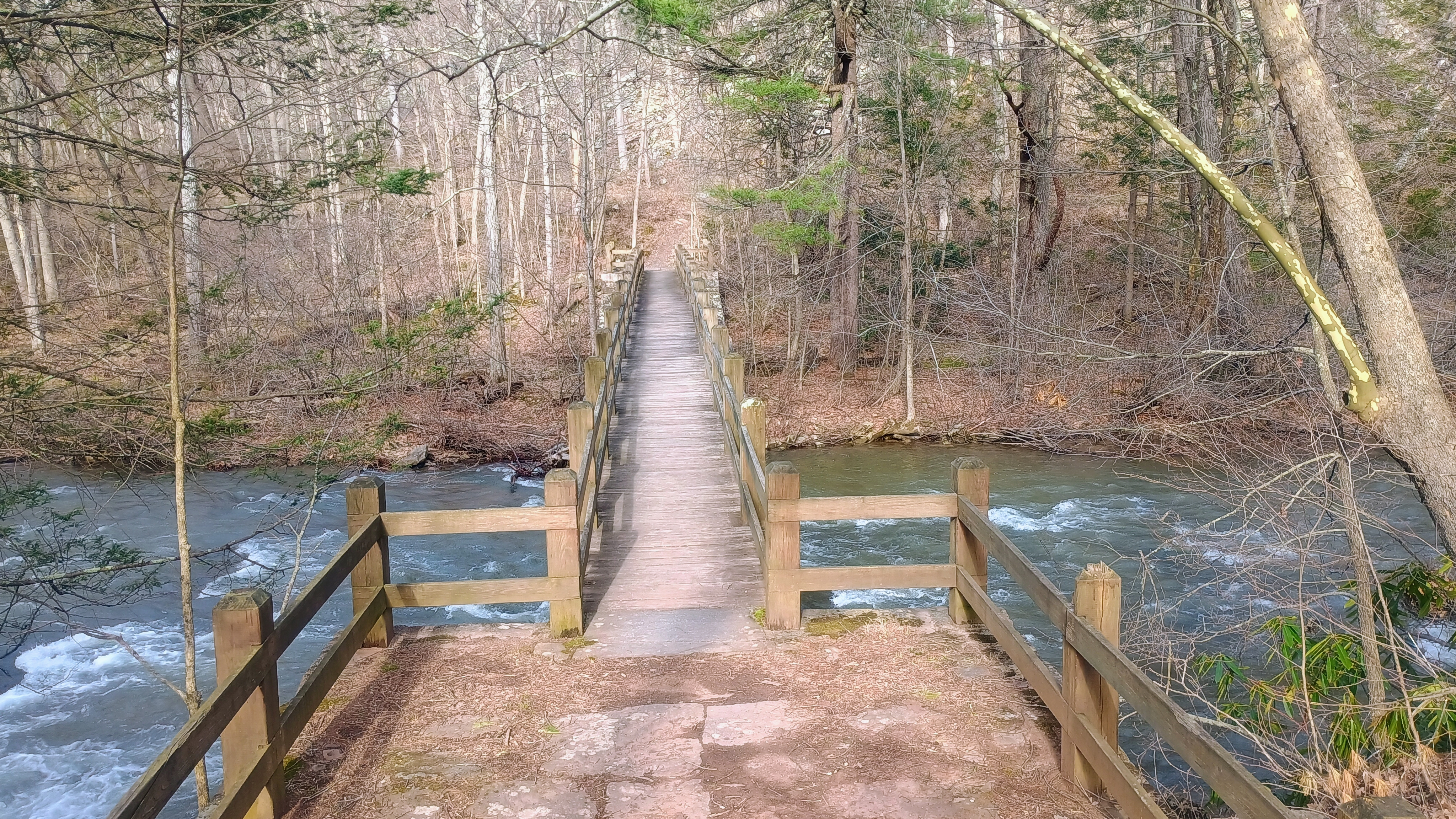
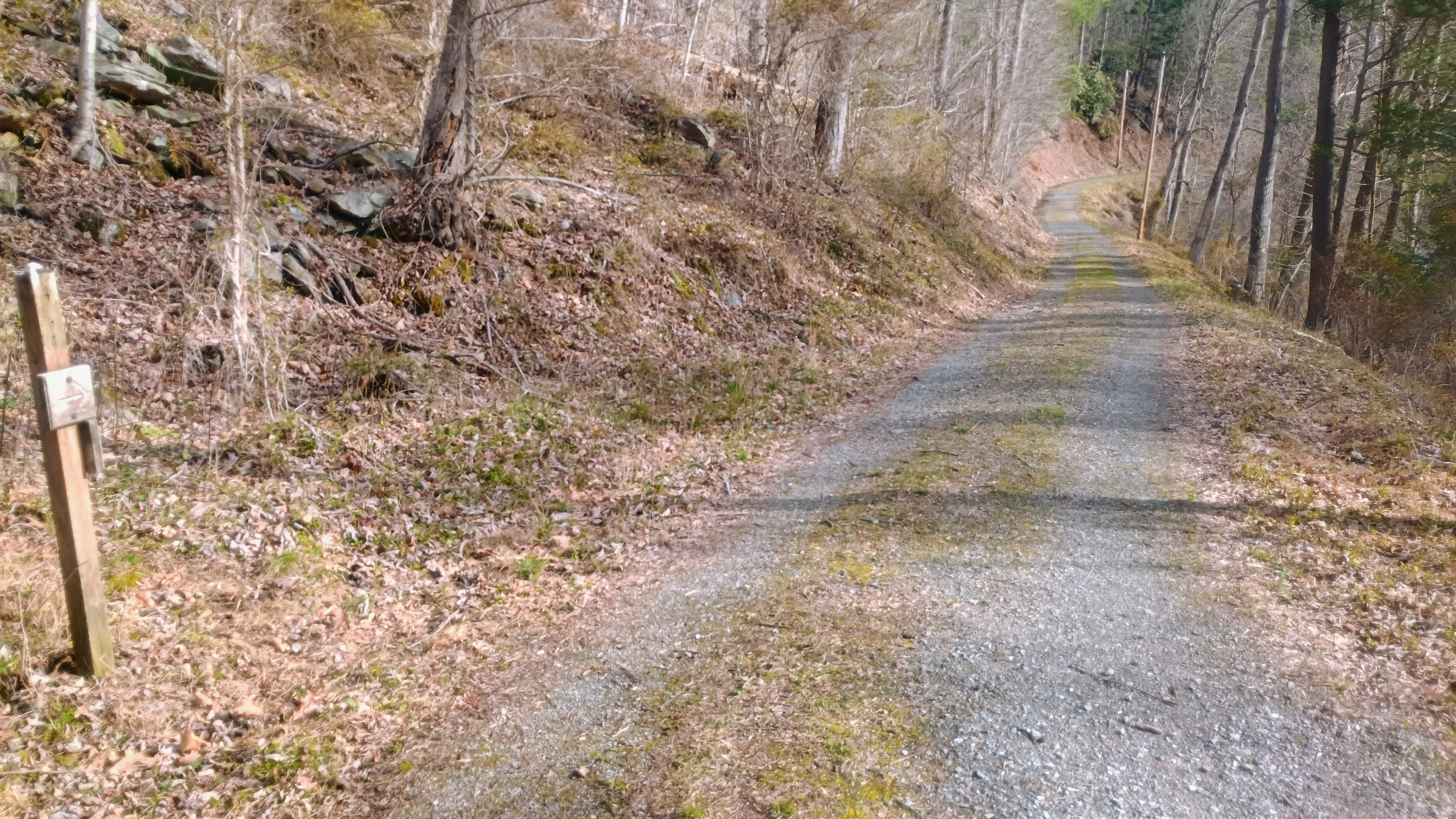
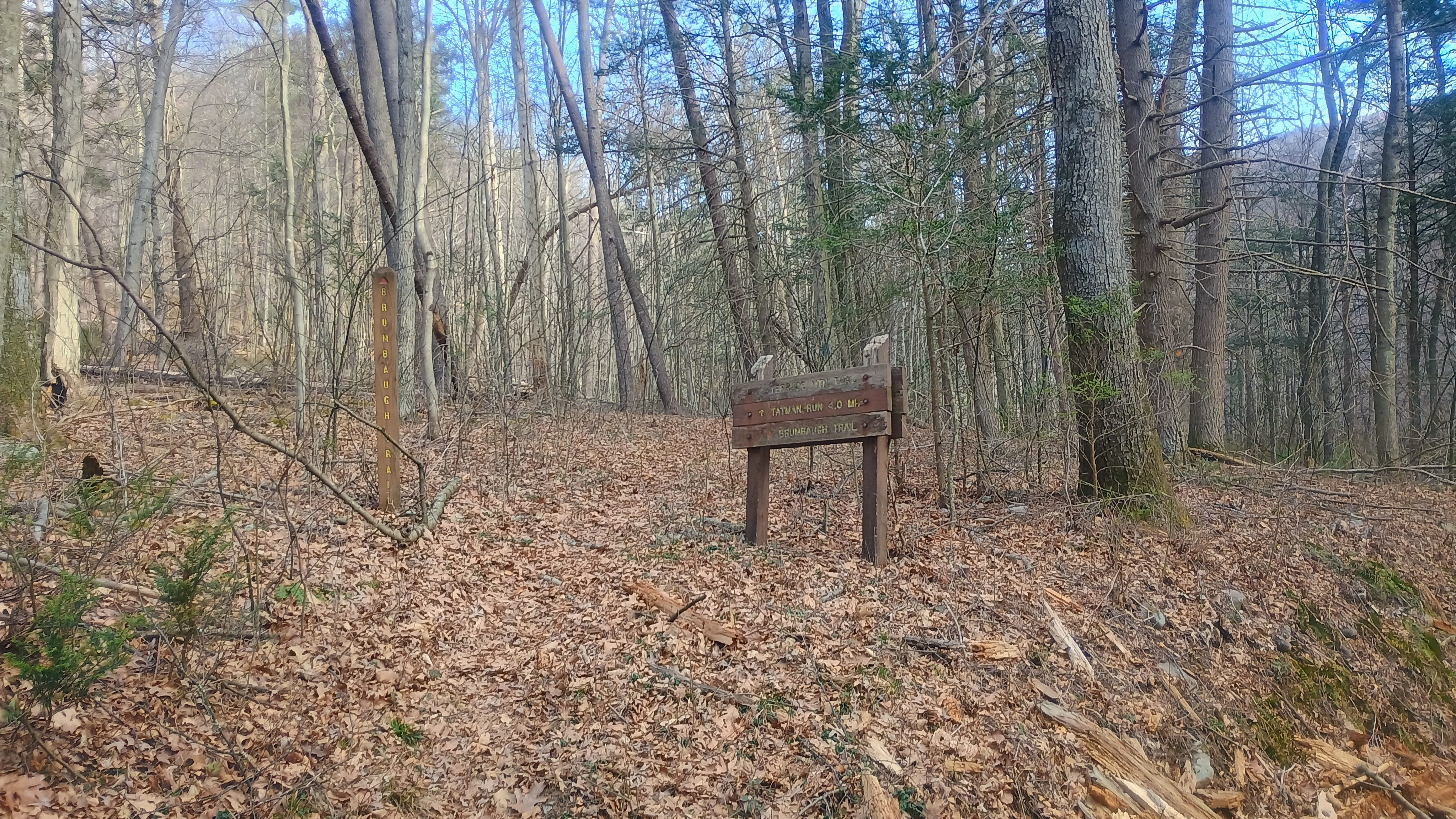
We crossed the bridge to Old Forge Road, and soon made it to the trailhead for Brumbaugh Trail.
Bridge from the parking area to cross the creek.Old Forge RoadStart of Brumbaugh Trail
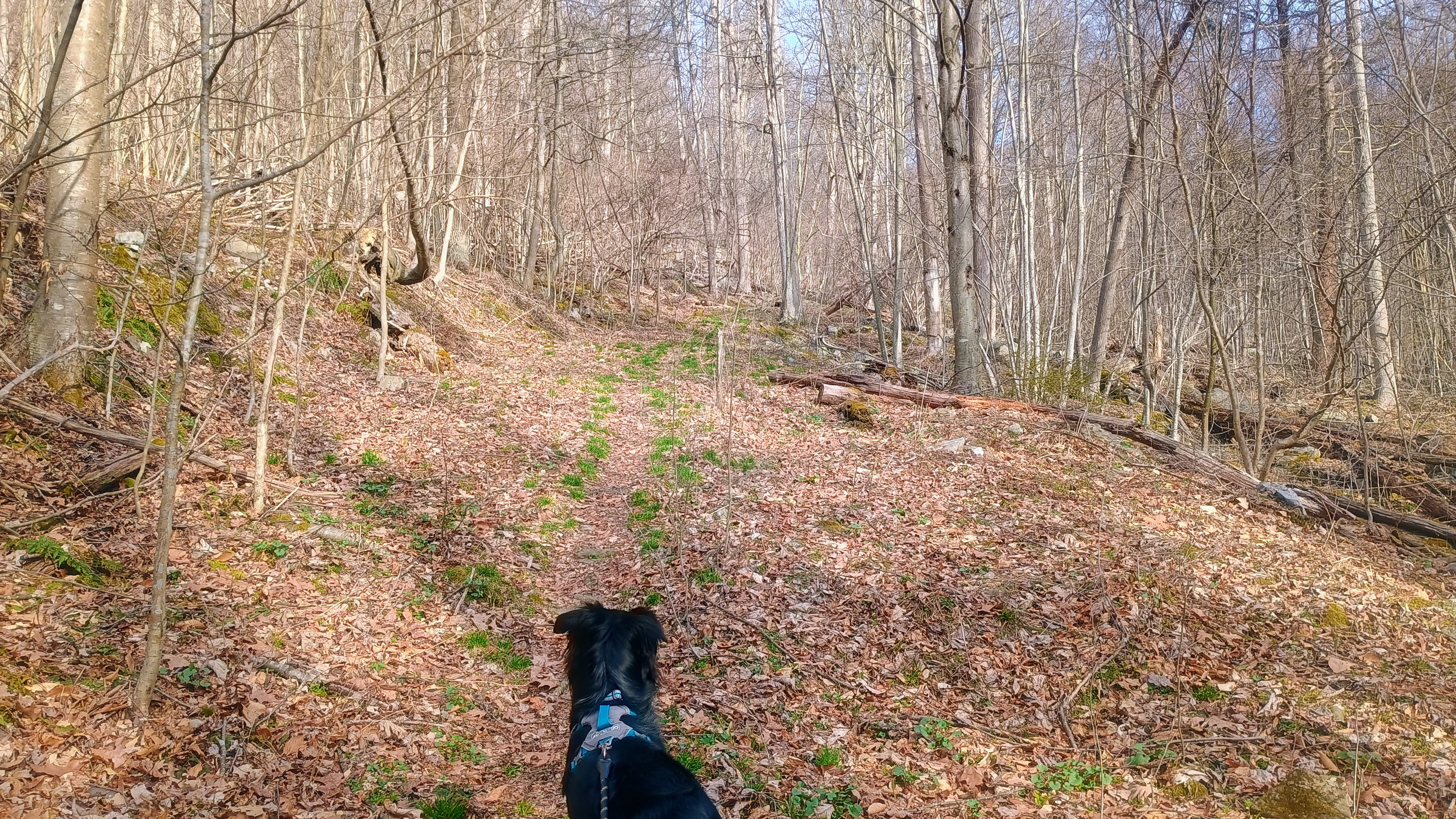
We climbed 750 feet of gain across just over mile on Brumbaugh Trail to get to the ridge of Terrace Mountain. The trail is marked with faded fed blazes. At this ridgeline, we were in the Trough Creek Wild Area of Rothrock State Forest, and about 2 miles of a bushwhack ridge walk was left to get into the AZ. It was a bit of a slog. There wasn’t much brush growing in early spring and the forest is fairly open, so it was pretty easy going, though Luna and I still kept getting her leash twisted around trees.
Luna looking up the trail.Heading off trail along the rocky ridge.Along the way are some nice views of Raystown Lake.Getting close to the AZ here.
It had started to warm up to about 40F once we made it to my operating point. Luna was quite tuckered, so she laid down after eating a snack and let me get going with the radio stuff. After working F4WBN and EA1AER on 15m, I switched to 40m and stayed there the rest of the activation, since it was still fairly early in the day. I really do enjoy working the locals!
View of the activation zone.
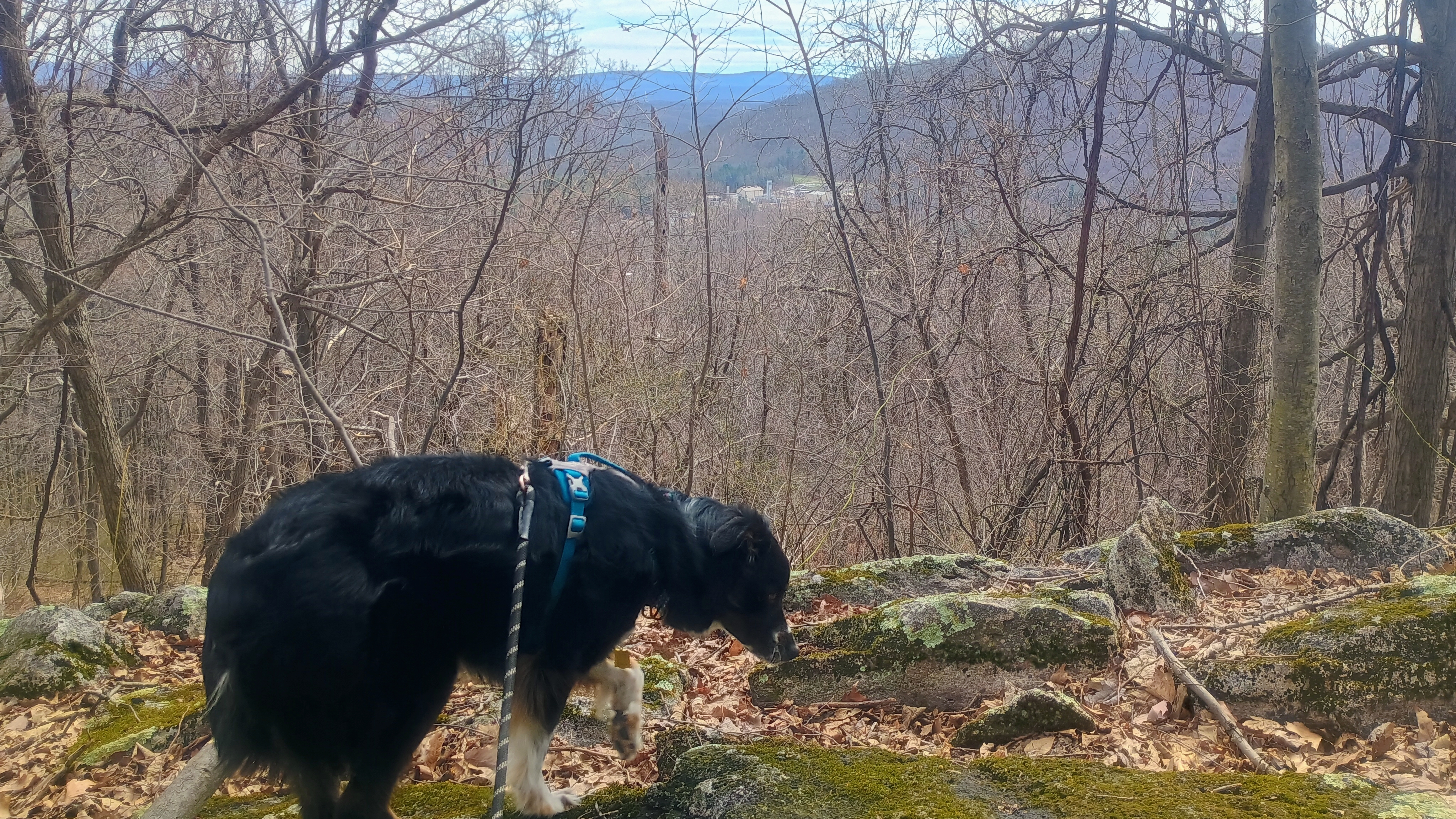
I got three S2S: Ron NR3E on W4K/EC-001 Black Mountain, the high point of KY, Roy WN3F on W4V/SH-012 Old Rag, a famous hike in Shenandoah, and Eric VA2EO on VE2/ES-014 in QC. Luna, no doubt emboldened by her success following our track back from Backlog Mountain the day before, took the lead on our return hike. She lost our trail almost immediately (or perhaps decided to follow the scent of some woodland critter), but I am glad we had my GPS as backup.
Luna’s trying to sniff out our path for the return hike, but I think this track was a little long for her nose. That, or she started tracking a chipmunk instead.
There aren’t many SOTA first activation candidates like this left in PA. The entire approach and AZ are on public lands, and only real obstacle is to bushwhack a while. It was nice to get this one activated for W3 SOTA, and for Luna to notch her first FA as well!
Trailhead: 40.3308,-78.12498 : Parking Area 5 in Trough Creek State Park
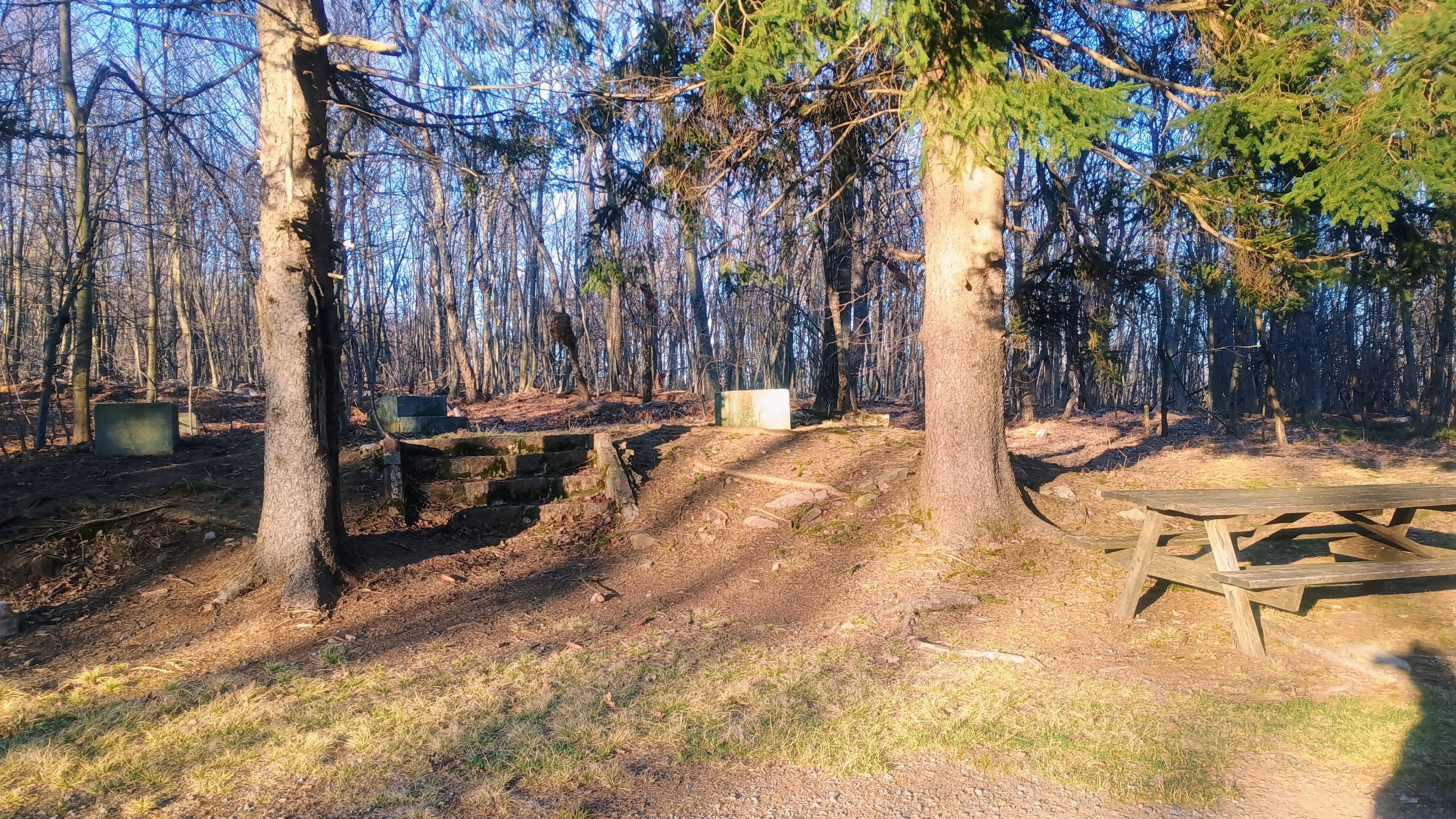
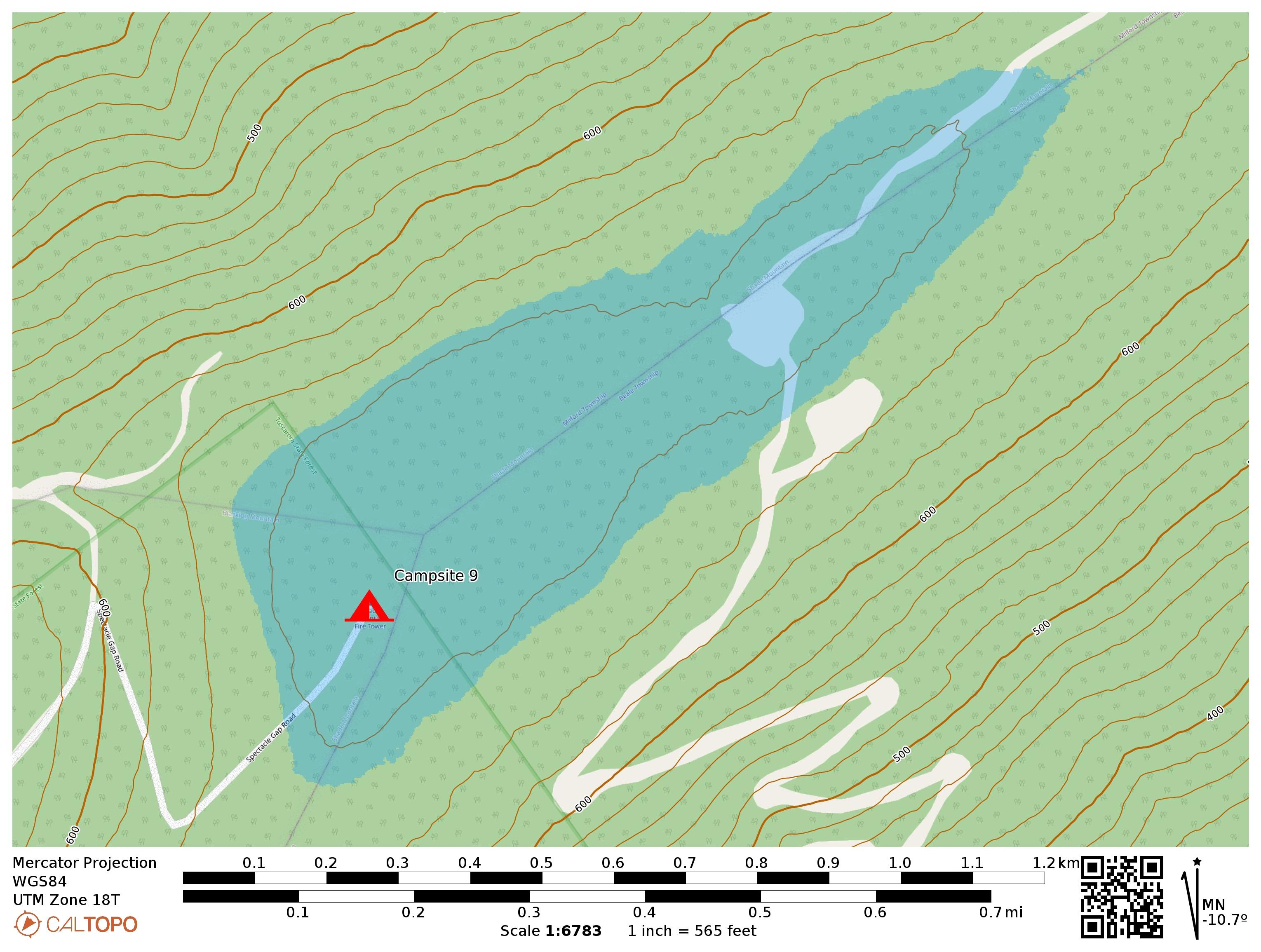
To wrap up our long day of SOTA in and around Tuscarora State Park, we continued northeast along Licking Creek Drive until turning onto Spectacle Gap Road. All of these forest roads were in good shape but were gravel. Spectacle Gap climbs up to the ridge of Shade Mountain, and the road eventually ends at Campsite 9, a primitive campsite that is within this SOTA activation zone at the very boundary of the state forest. Here there is a picnic bench, fire pit, and remnants of a fire tower removed in the mid-90s, but not many other amenities at this campsite. The primitive spot can be booked for just $10 a night. It might be a fun place to work a PA QSO party from in future years, but it does get windy and potentially quite cold in October.
Climbing Spectacle Gap Road
The sun was setting and Luna was exhausted. We just checked out the campsite and then I set up and settled in for an enjoyable activation, working 42 QSOs, including a S2S with the dynamic duo of DJ WW7D and Josh WU7H on 15m (W7W/CW-065). I also notably worked (just barely) JH1MXV on 15m, all the way in Gunma Prefecture, Japan! The vibes here were just great!
Luna enjoying the evening sun.Tuscarora State Forest campsite 9. The concrete pads are where the firetower once stood.
We were pretty pooped from the long day and stopped by Juniata Brewing Company back in Huntington for a celebratory dinner. Luna got a free (and large) dog biscuit!
Trailhead: 40.51361, -77.55951 : Tuscarora State Forest campsite 9
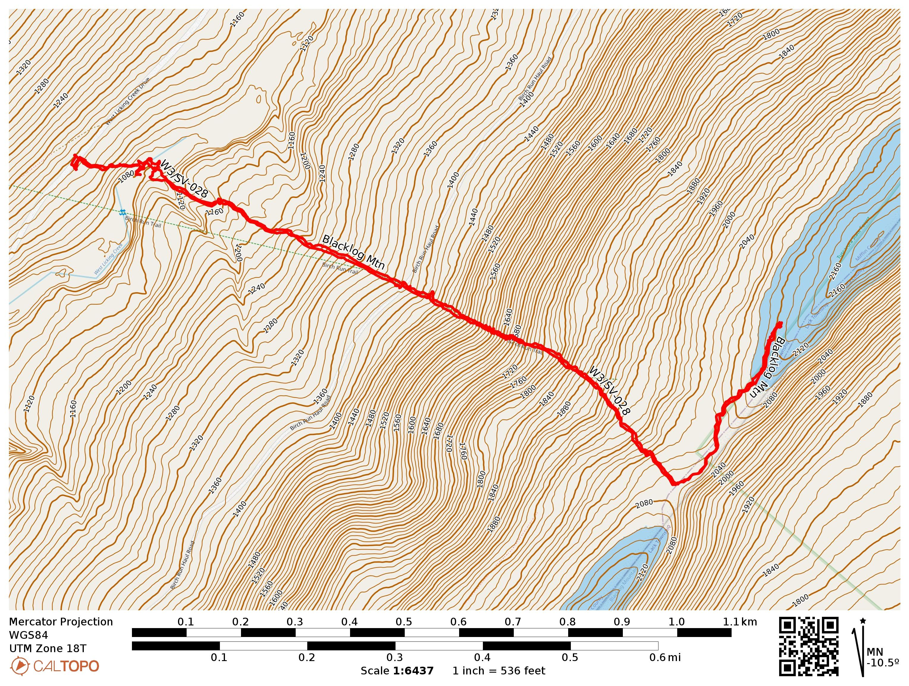
After wrapping our previous long hike and activation in Jacks Narrows, Luna and I headed into Tuscarora State Forest to do a few more new summits. I parked on Licking Creek Drive, where there is the option to hike either west to Blue Mountain W3/SV-030 or east to Blacklog Mtn W3/SV-028, two parallel ridges that the forest road runs between. We opted for the latter.
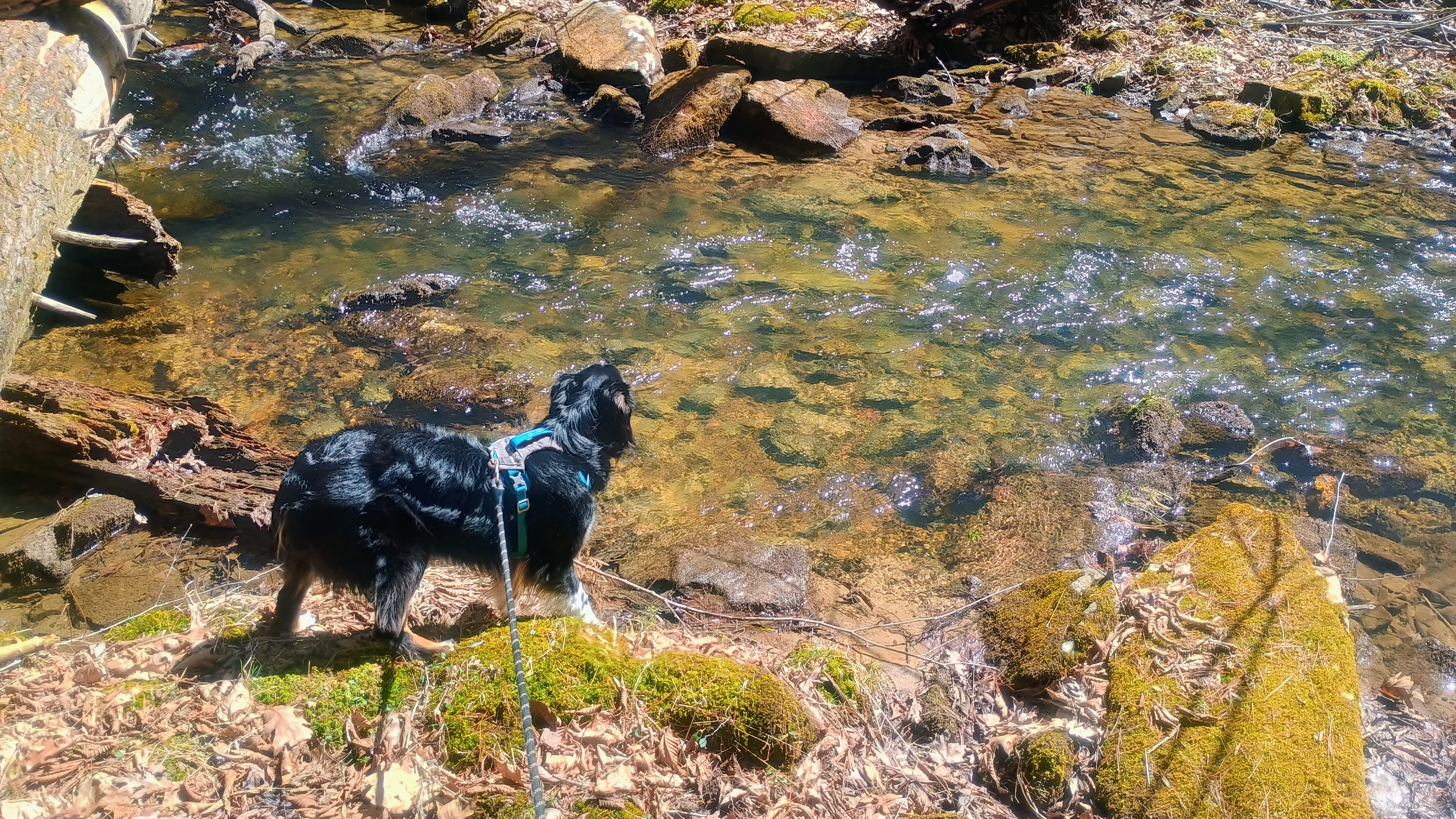
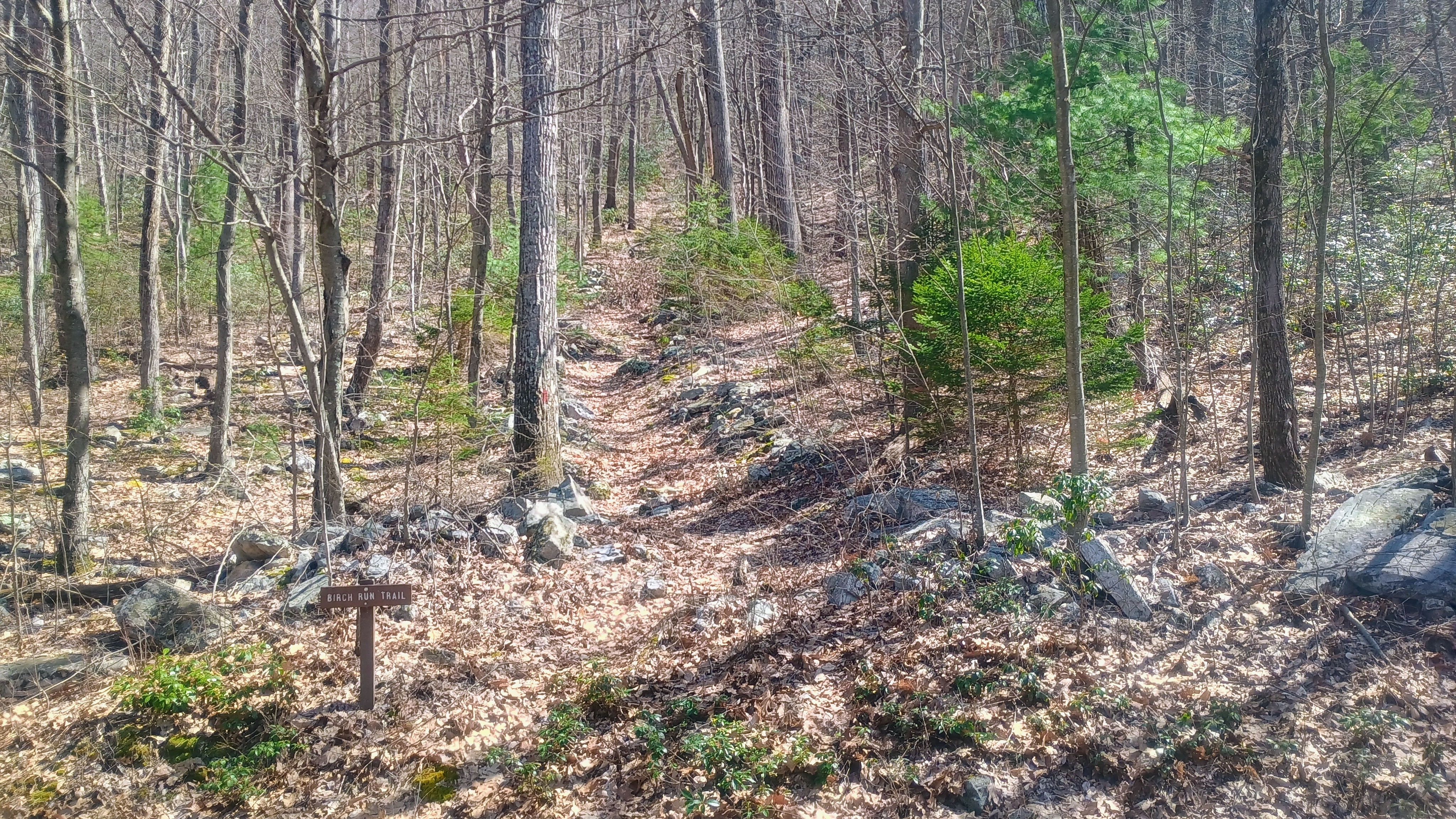
We followed the red-blazed Birch Run Trail, and shortly into the hike was a bridgeless creek crossing, about 10 feet across. The water level was just over a foot deep on this early spring day, so that’s something to be aware of when going for this hike.
Luna takes in Licking Creek.
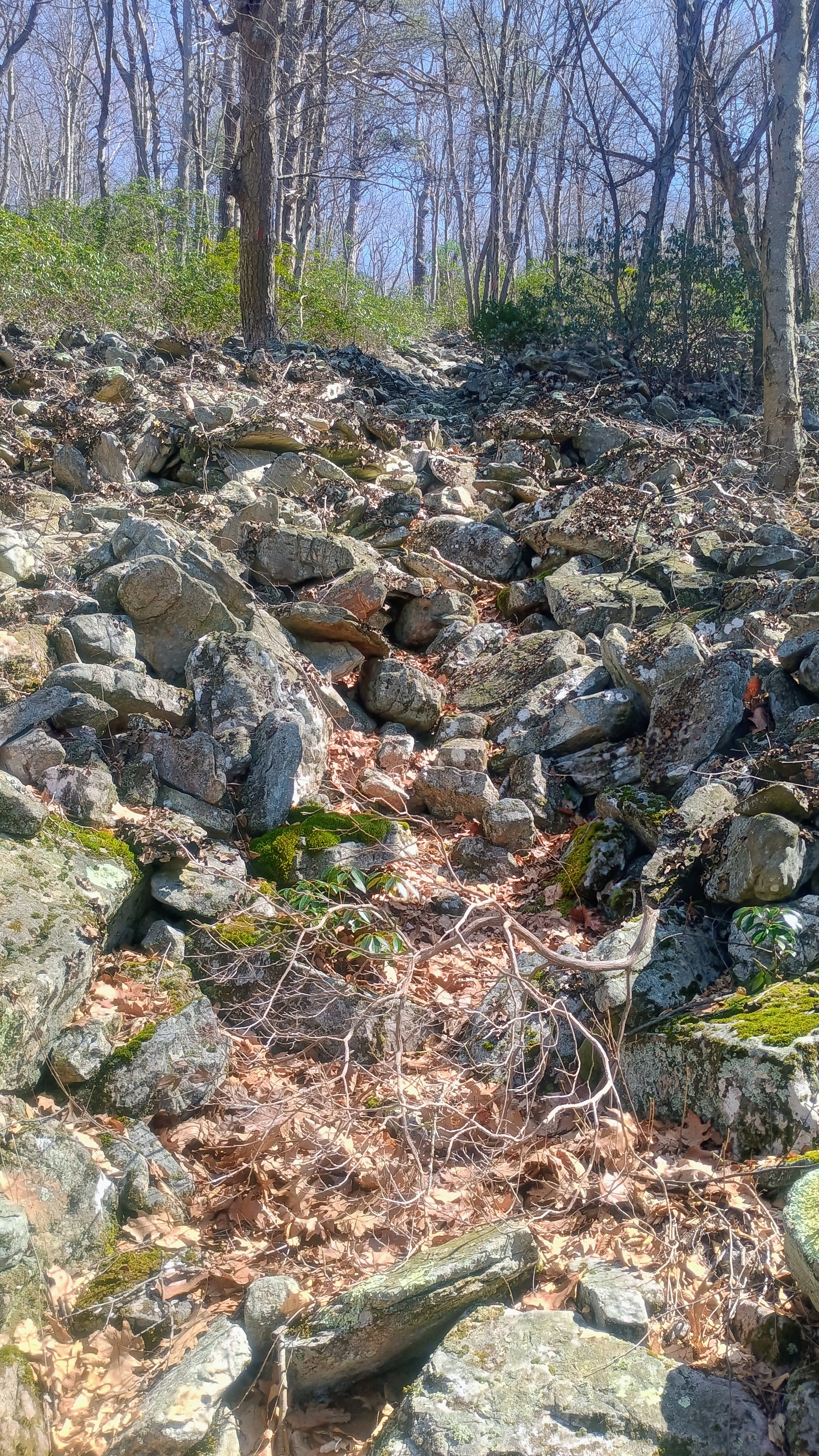
Past the creek was a gentle climb to a small clearing and another trail sign, and here the trail gets much steeper and rockier, with a classic PA boulder field at some point. We continued up to the ridge and then left the trail for a final short, open bushwhack up along the ridge into the activation zone.
And it gets steeper!And then rockier.
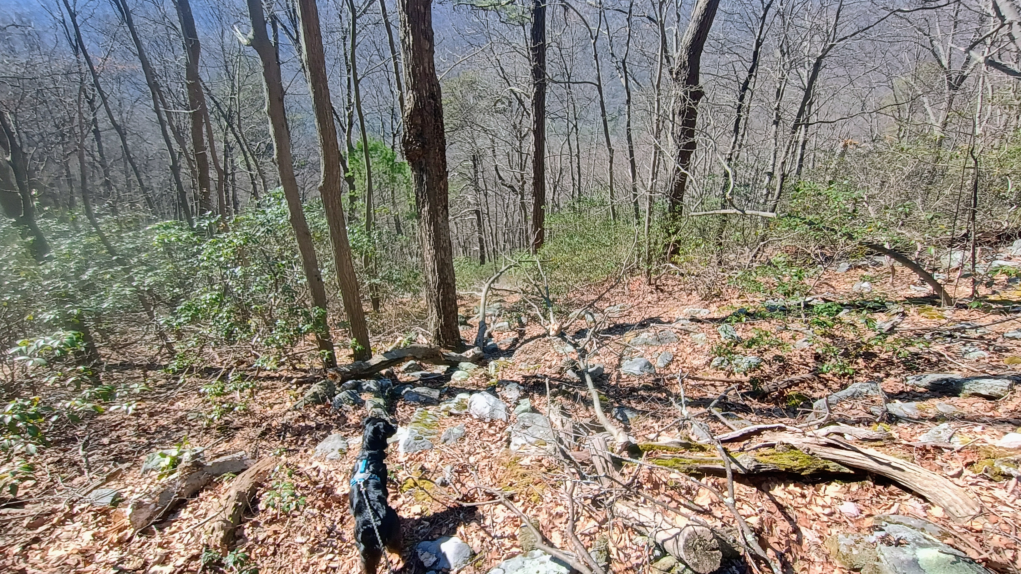
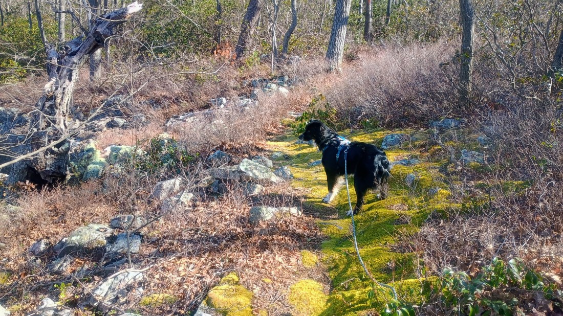
There are plenty of trees around and got my contacts. By this point, Luna understood the routine and sat calmly, letting me work for about 40 minutes to get 36 QSOs. On the way back, Luna had a big dog moment, sniffing out our own track and excitedly guiding us right back to the trail. Our path back followed exactly our route there, according to the GPS, so she did a great job!
Luna sniffing out our track for the return path.
At the end of this hike, I decided to check out the semi-famous “Campsite 009,” the site of W3/SV-024 Shade Mountain. I’ll have to come back here for Blue Mountain some time.
Trailhead: 40.39025, -77.75942 : by Licking Creek Road
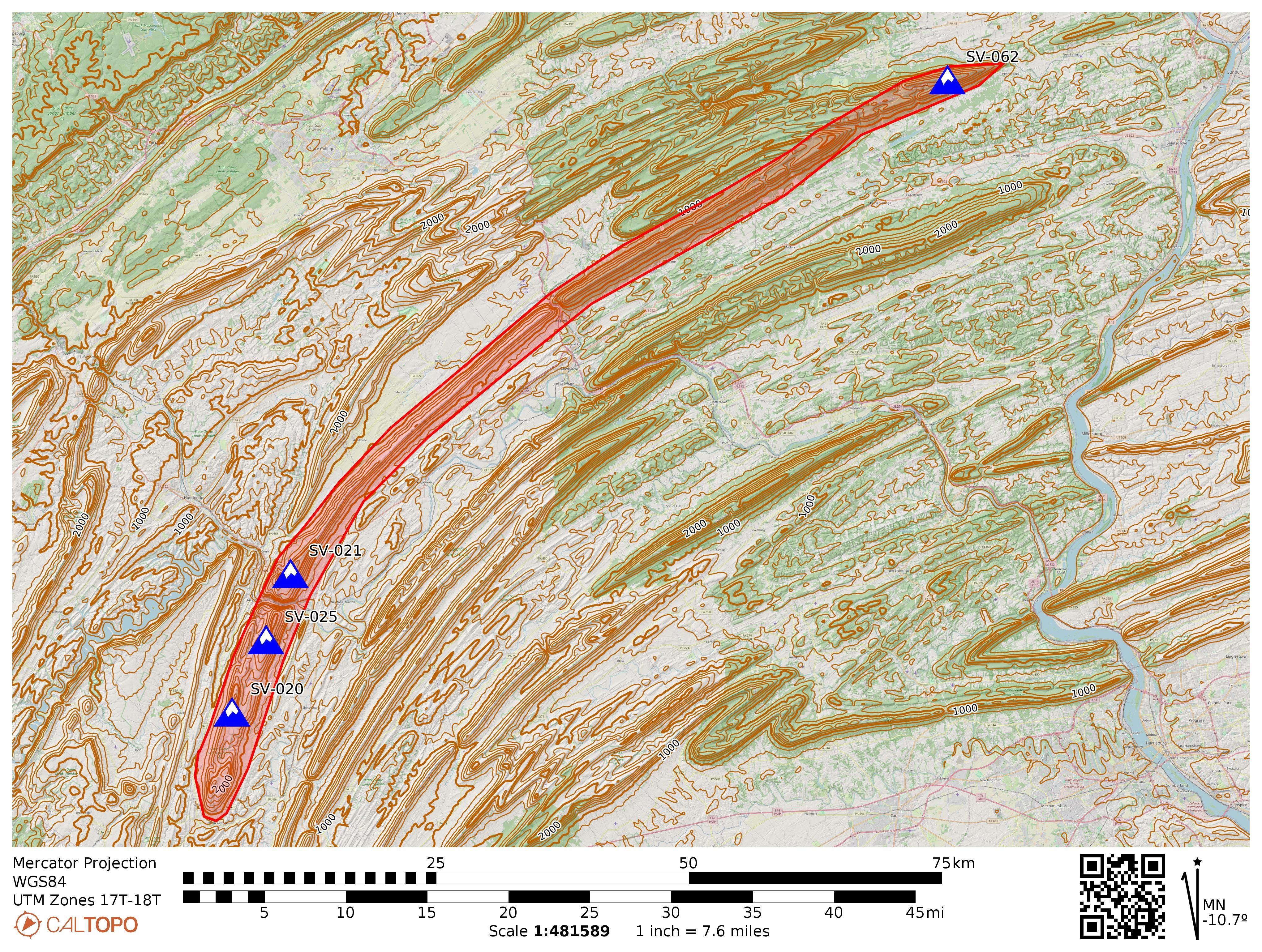
Jacks Mountain is a long and narrow ridge that spans Huntingdon, Mifflin, Snyder, and Union counties. The mountain is named for Jack Armstrong, a pioneer and fur trader from the 18th century who confiscated a horse from his debtor Mushemeelin, a member of the Delaware who later tracked Armstrong down and killed him for retribution. There are a four sites that meet the SOTA 150m prominence requirements along Jacks Mountain:
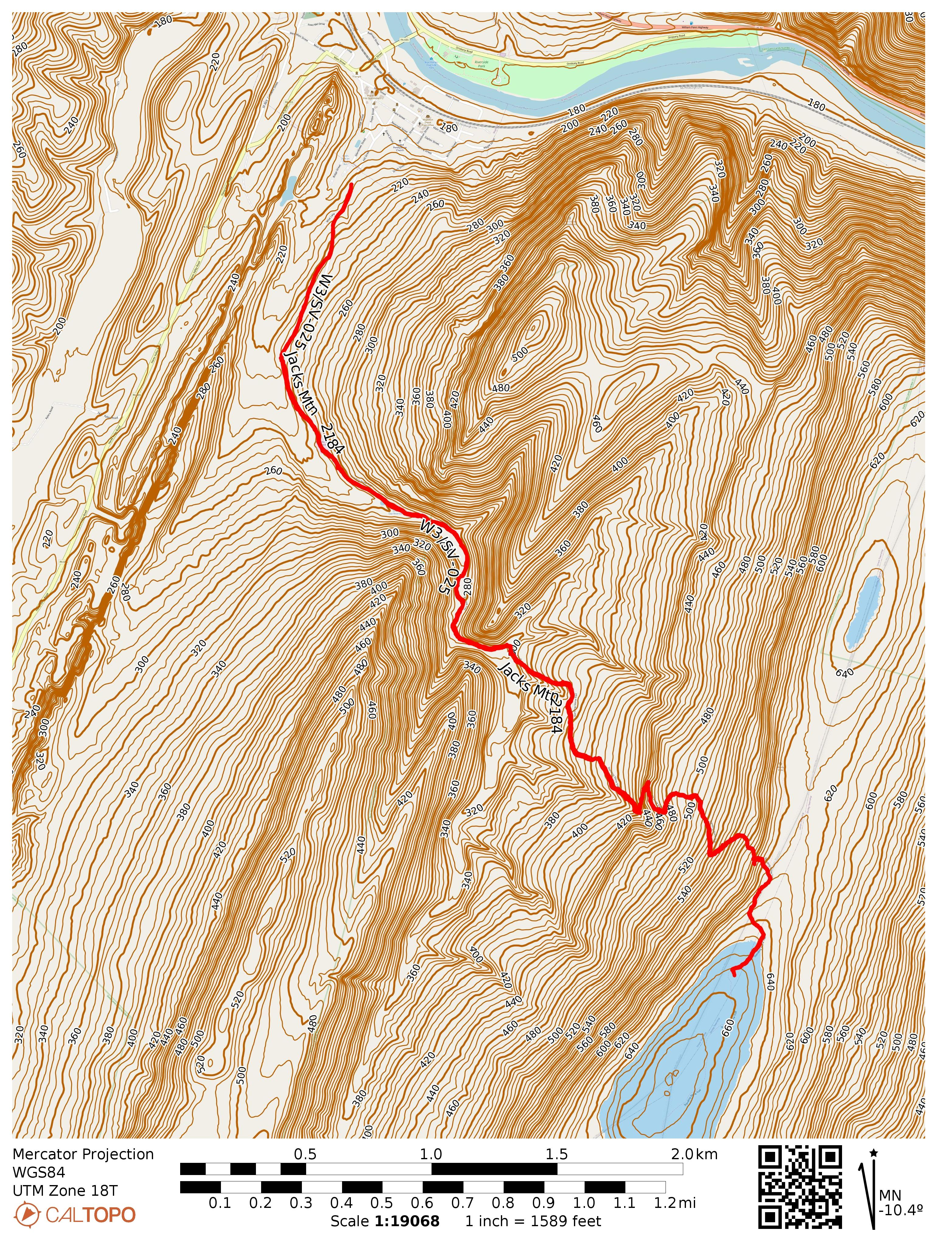
Jacks Mountain and its SOTA peaks. Jacks Narrows is between SV-021 and SV-025, following the Juniata River.
W3/SV-025 Jacks Mtn 2184 – Scrub Gap Trail & Windy Vista
W3/SV-062 Jacks Mountain – Hightop & East Kettle ATV Trails in Bald Eagle SF
At several points, rivers have cut through the ridge, resulting in steep gorges. The Juniata River has eroded through Jacks Mountain between Mapleton and Mt Union, resulting in the steepest gorge in the state of PA: Jacks Narrows. The northern side of this glen features the Thousand Steps hike on the Standing Stone Trail, which I had used to activate W3/SV-021 Jacks Mtn 2315 last autumn on one of the most scenic hikes I’ve encountered in the state, with a dramatic gain of elevation climbing from the Juniata River valley all the way to the ridgeline.
Following the Standing Stone Trail south from Jacks Narrows leads to W3/SV-025, Jacks Mtn 2184. This is a classic “central PA SOTA usual suspects” activation, with only three logged activations before mine: N2GBR, NK8Q, and W3QP, which usually indicates a long hike and/or gnarly bushwhack ahead! Thankfully, it was just the former.
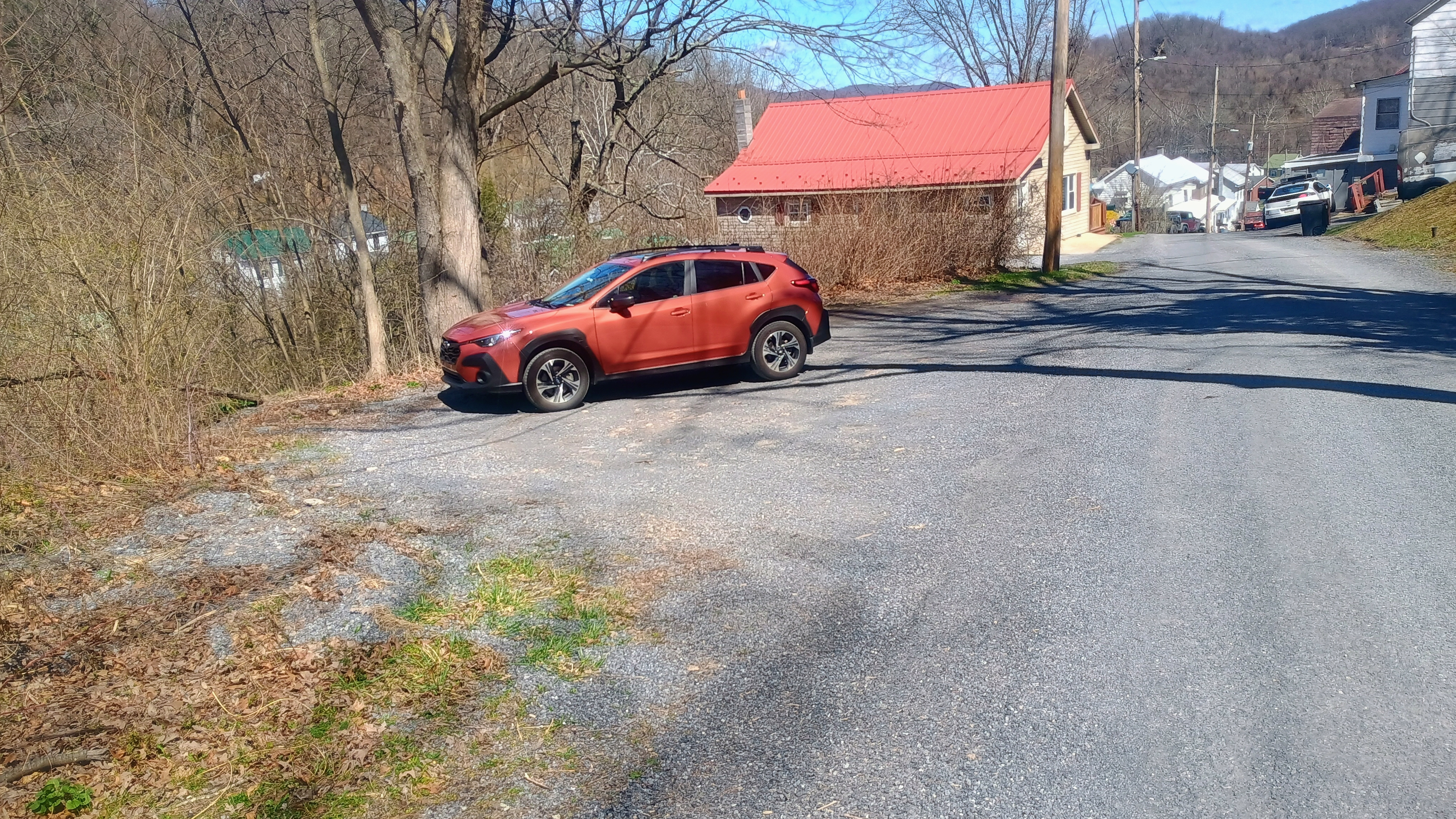
I had Luna along with me and this was the first of three SOTA activations we completed during this late March day. This one would require a roughly 6.5 mi RT hike, and I wanted to tire her out so she would be obliged to rest while I got my QSOs. I parked in Mapleton, but instead of parking at the SST designated spot in Riverside Park on the north shore of the Juniata, I drove to the south edge of town and parked by the side of Hill Road at a gravel spot (coordinates: 40.38953,-77.9422), cutting at least a mile from the RT hike. I left a note on my car that declared my intent to hike on the SST with my contact info in case parking here was frowned upon, but nobody seemed bothered.
My parking spot at 40.38953, -77.9422, just in front of a No Outlet sign.
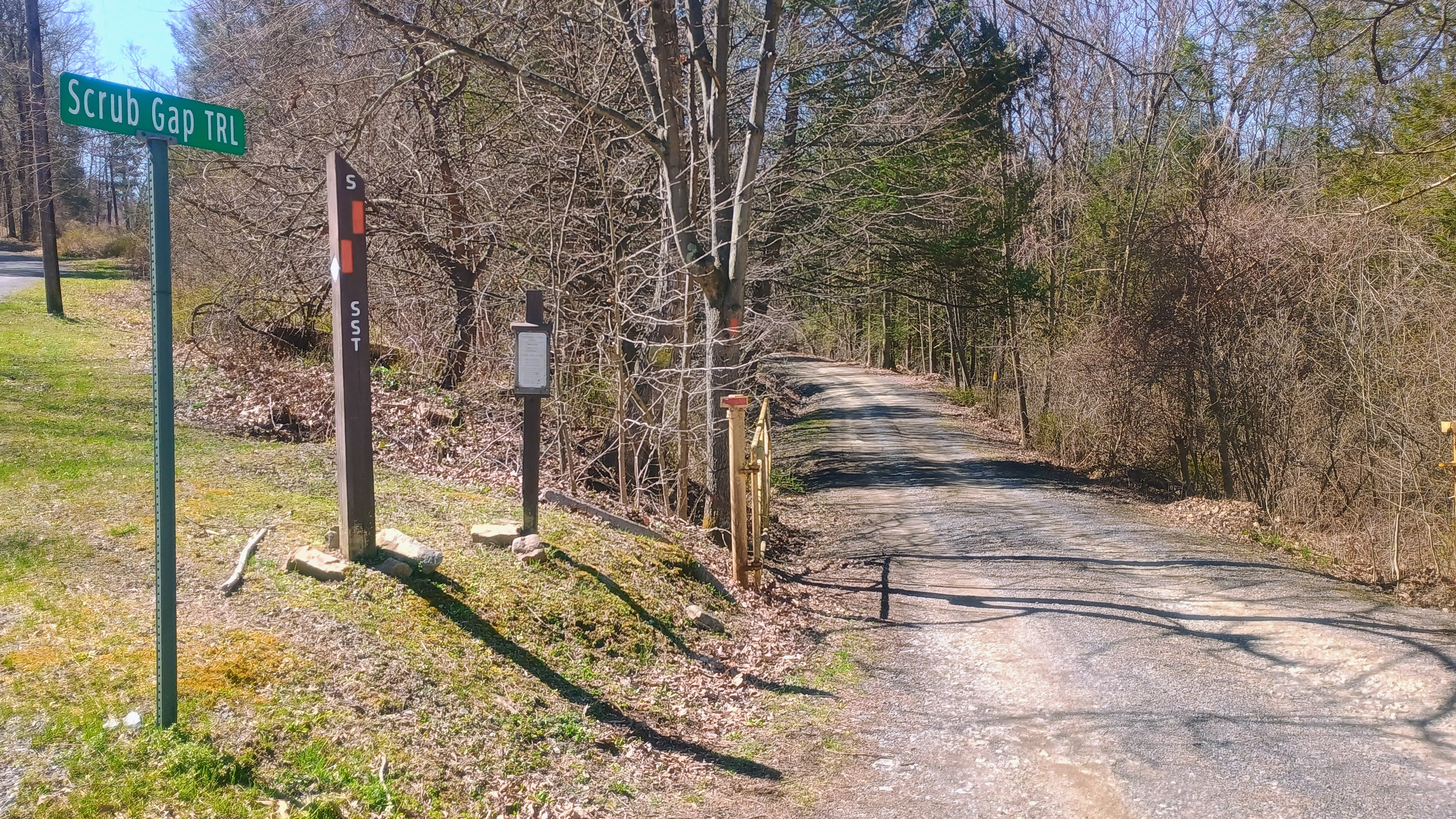
Luna and I walked along Hill Road, passing the last few houses in this neighborhood before we found the trailhead to Scrub Gap Trail. This is all part of the Standing Stone Trail, so orange blazes mark the path the entire way.
Scrub Gap Trail is gated. The gate was closed when I started the hike, but it was opened when I had finished. Be wary of potential traffic driving to the reservoir along the route, though I missed seeing any vehicles on the road.
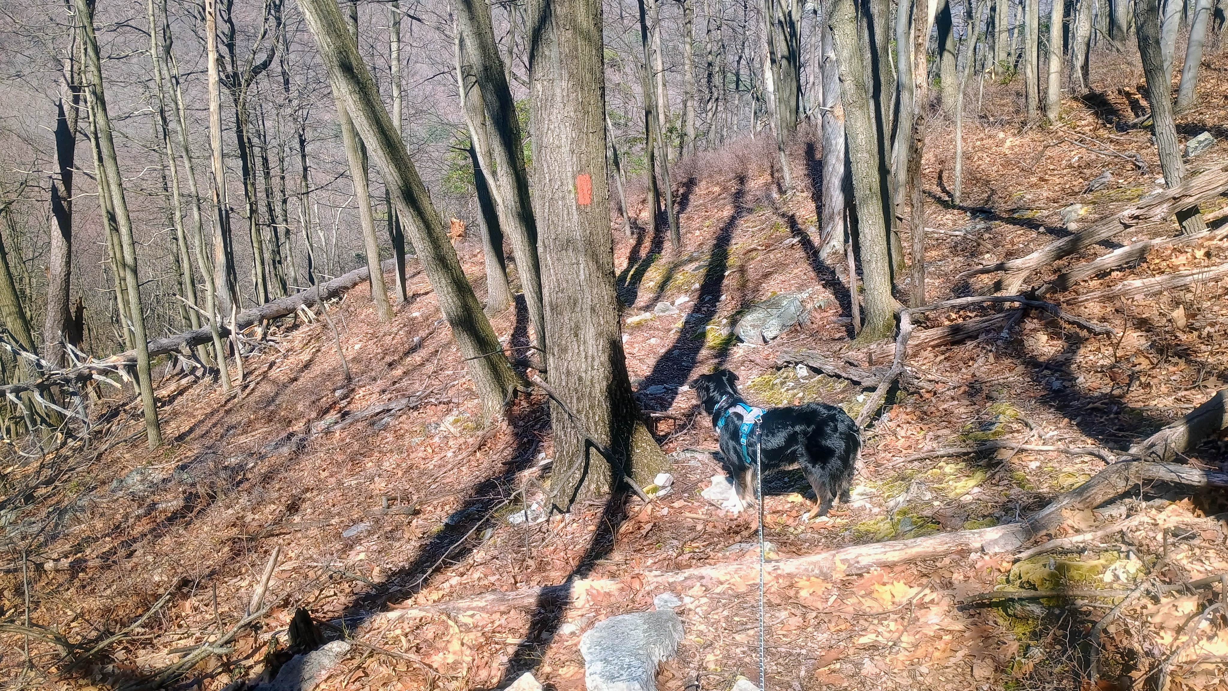
This hike up the southern side of Jacks Narrows was dramatic and varied, just not quite as scenic as the Thousand Hikes trail. After passing a water reservoir, the trail climbs through woods, mosses, and some vistas. This hike is a gradual climb, 1500 feet of gain over 3 miles. I did stop a bit short of the summit itself, as I was within the AZ with a more open forest to operate in at ~2130 feet ASL.
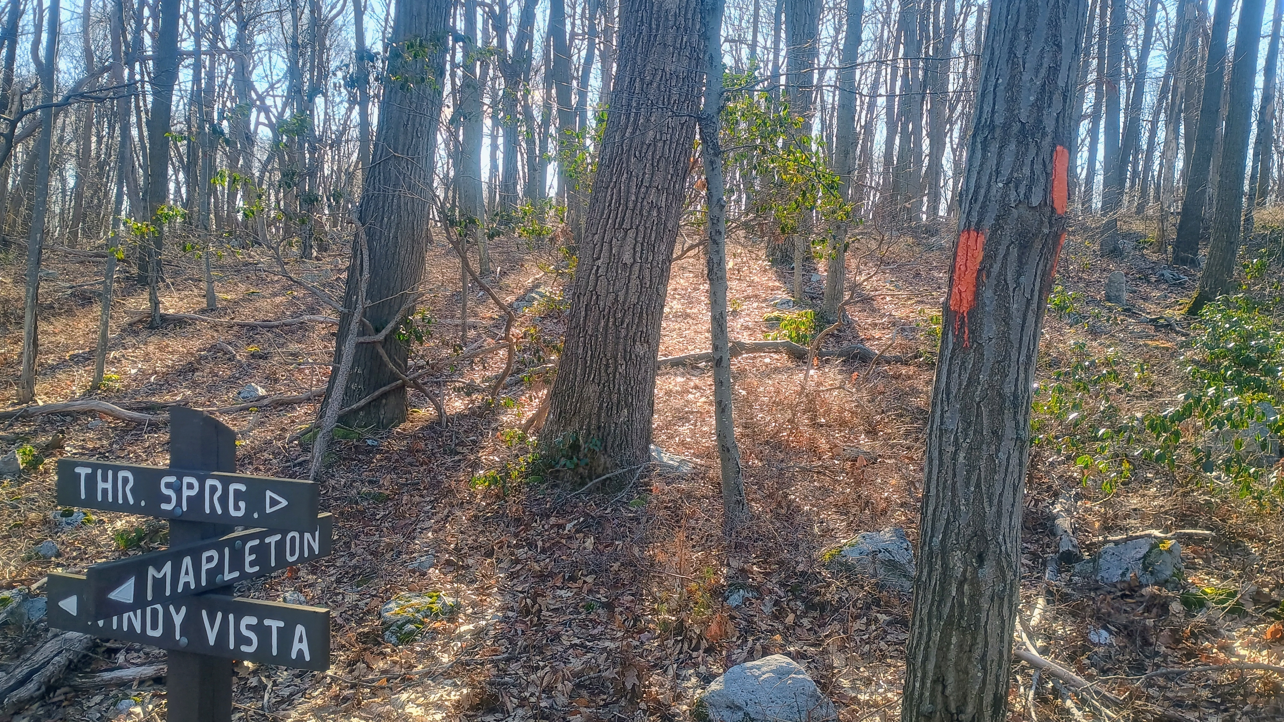
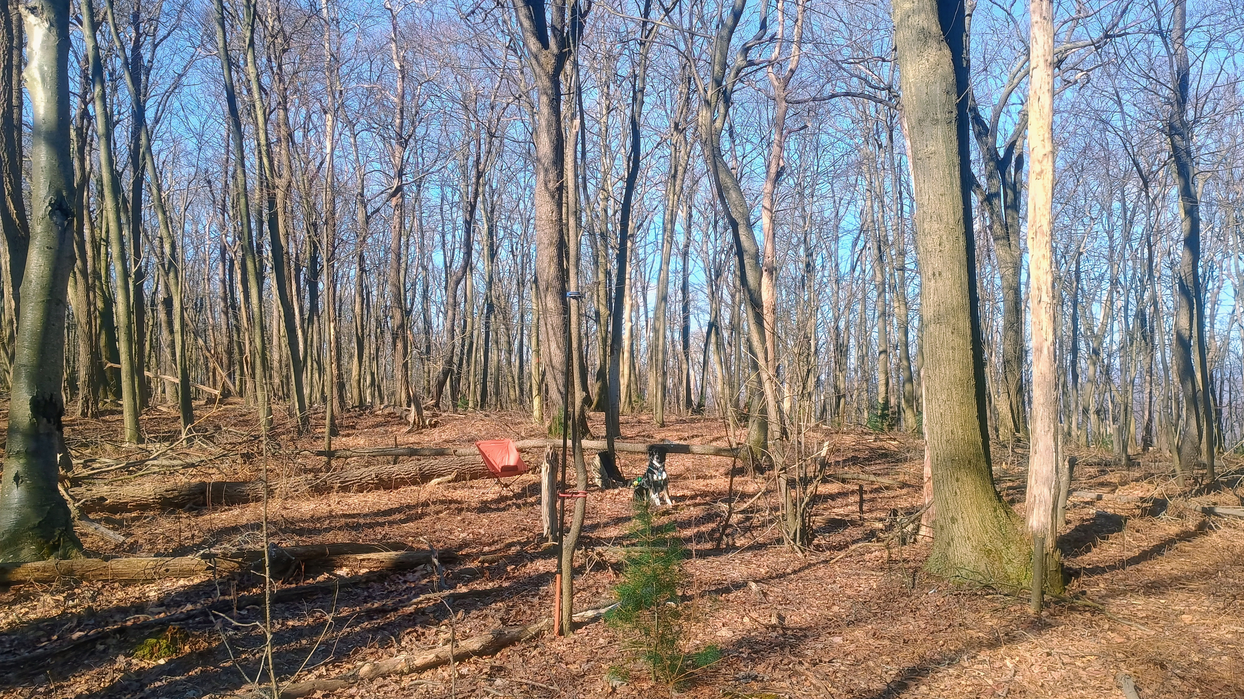
Close to the AZ is this trail junction. I did not go to Windy Vista, as the AZ was a bit further along the direction of Three Springs, at least 10 miles south of this point. As of June 2026, a lean-to shelter was built in Three Springs for SST through hikers as part of an Eagle Scout project.I elected to operate in these open woods just off trail in the AZ. Luna watched carefully as I set up the wire.
Propagation was great this morning! I worked a bunch of locals on 40m, including NK8Q, VA2EO, KC1MXB, and N3HXZ, a small selection of my usual chasers. Then I got good amount of DX on 15m: HB9BHW, HB0CGA, SM5LNE, DL6MST, IN3KLQ, DK4DE, DL1AX, and PA5KM! After 40 minutes of patient waiting, Luna let me know it was time to go, so we started the long hike back. Two more summits were ahead of us today!
Trailhead: 40.38953,-77.9422 : Roadside gravel spot of off Hill Road in Mapleton

 Tom Zajdel