W3/PD-007 Snowy Mountain

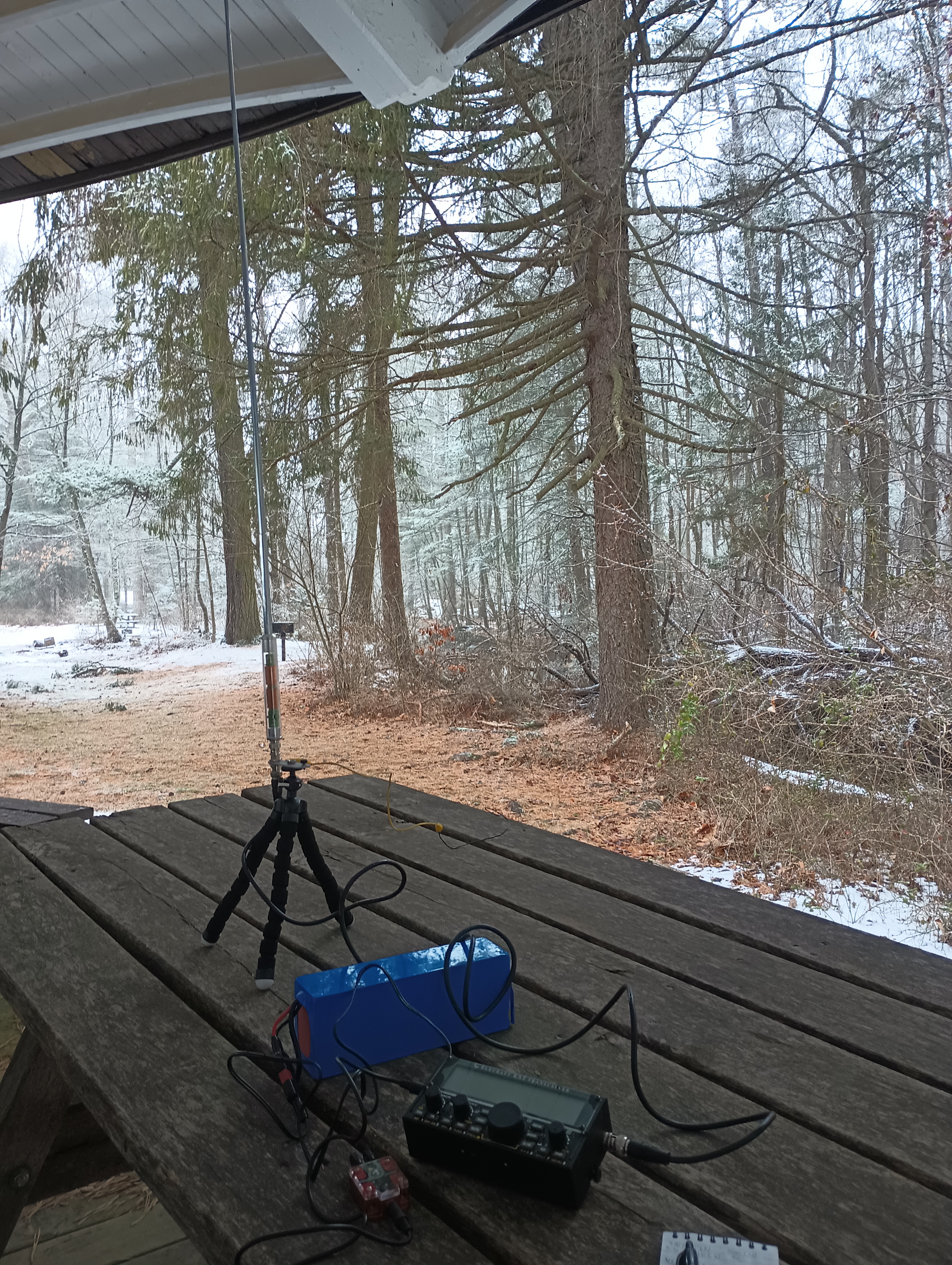
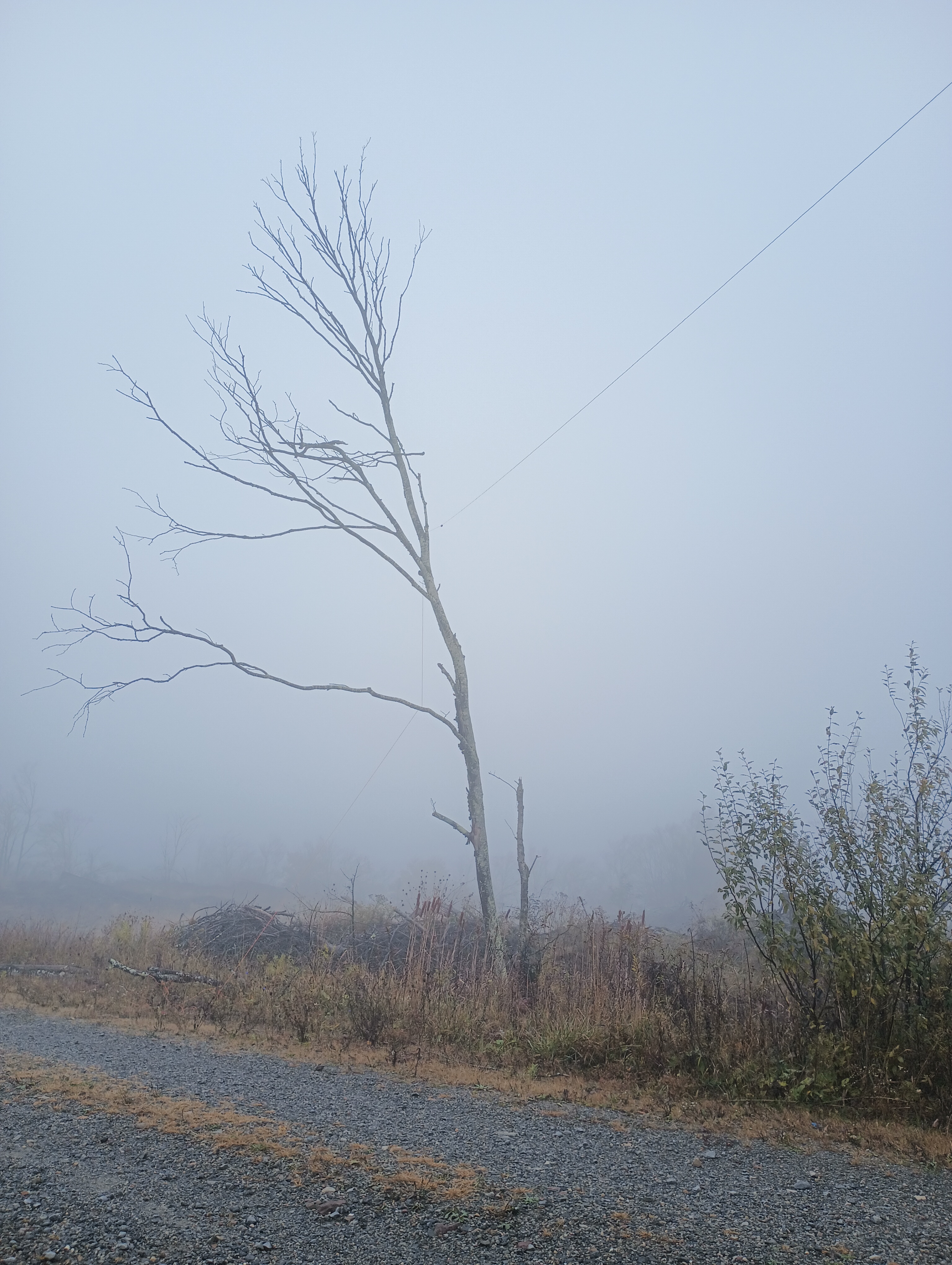
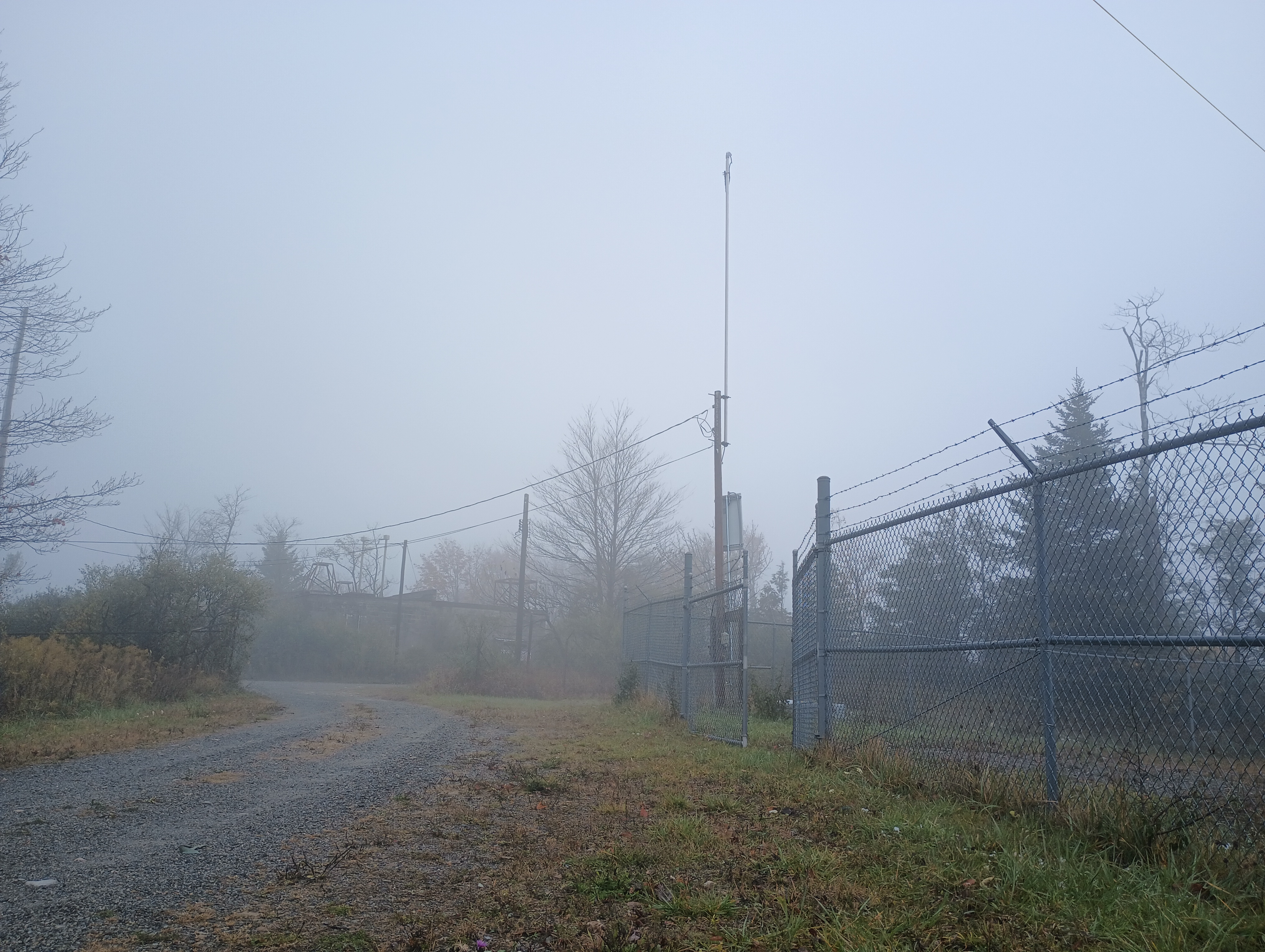
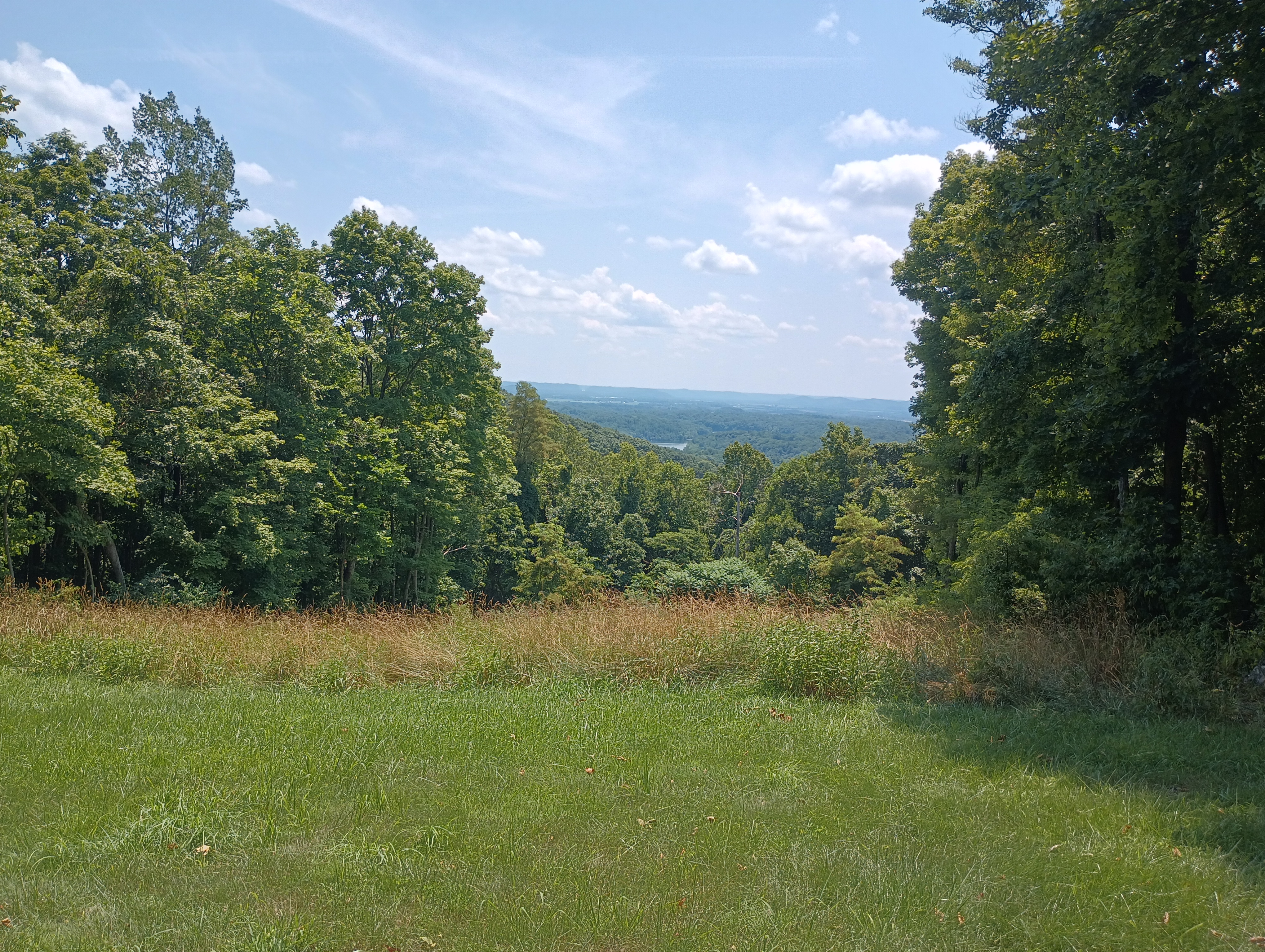
I went in Gettysburg, PA for a personal mini-retreat after the semester’s first week wrapped. A winter storm was coming through, so I tried to get an early start to tackle a group of SOTA/POTA sites. This my first time trying out the AX1 portable vertical antenna for quicker set up and pack up process than putzing around with my arborist’s throw line and end fed wire. Snowy Mountain in Michaux State Forest was first on the list.

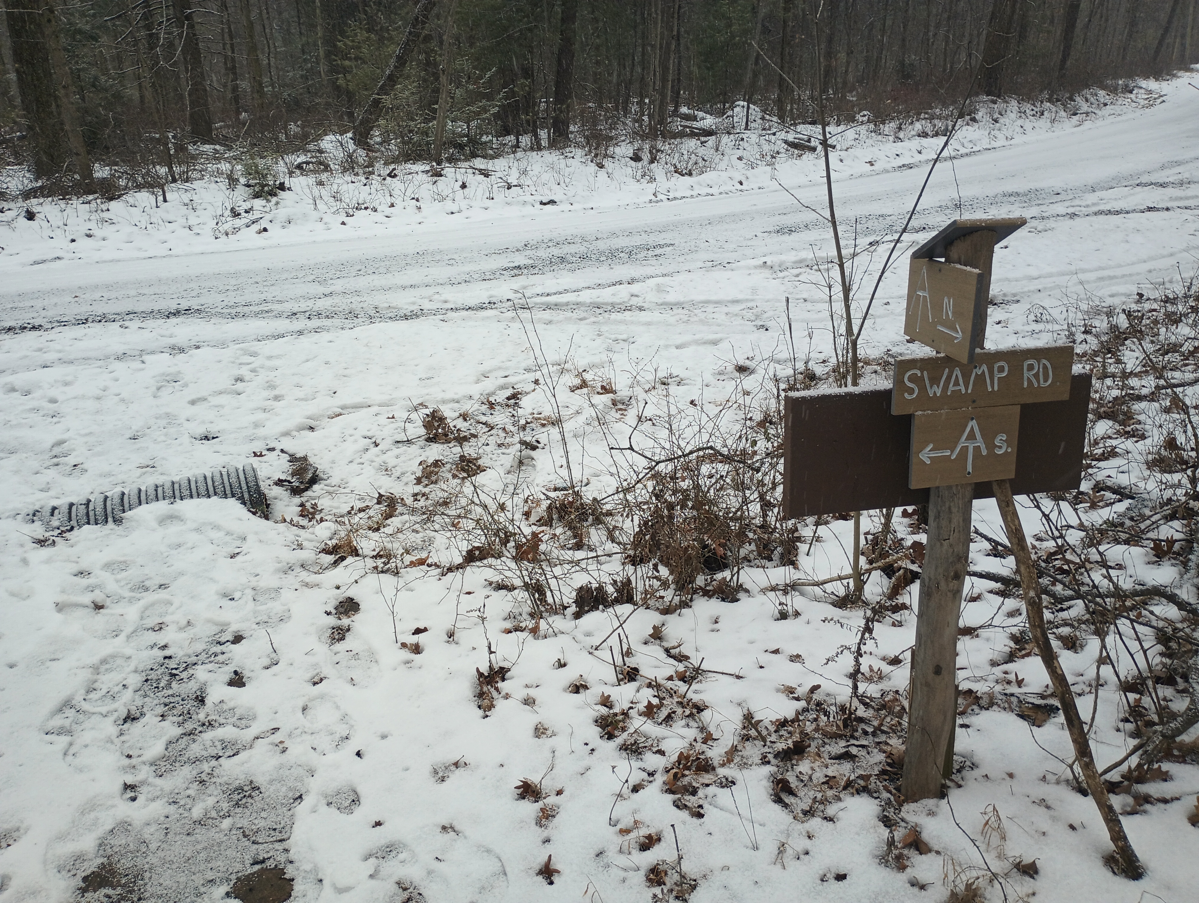
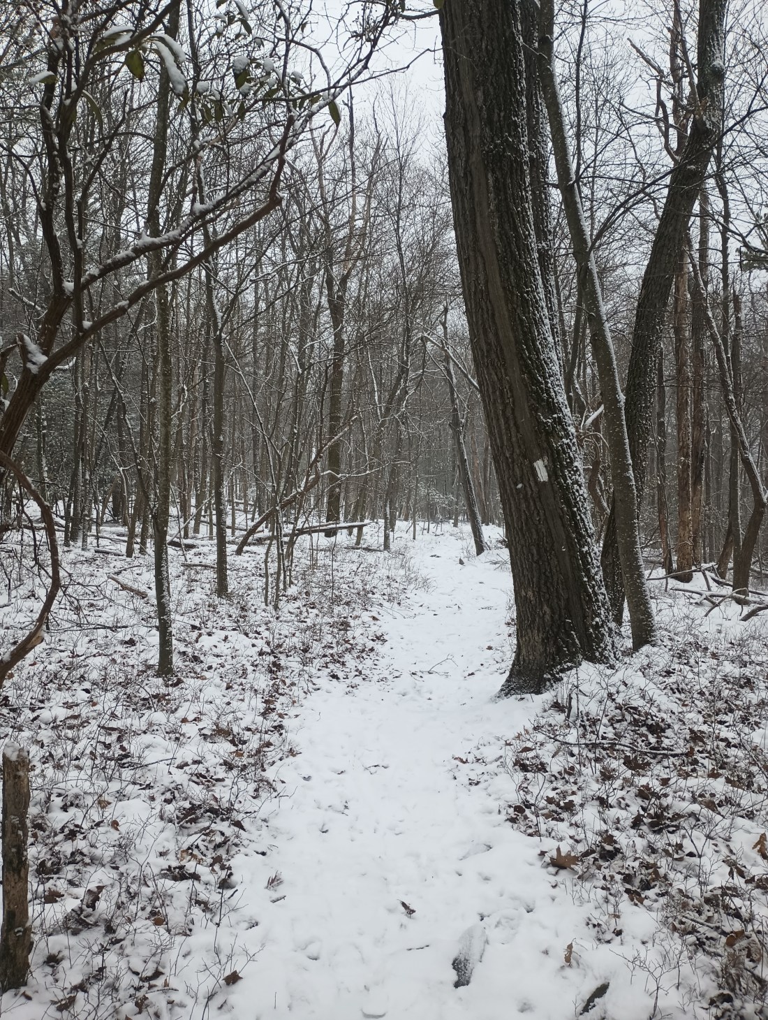
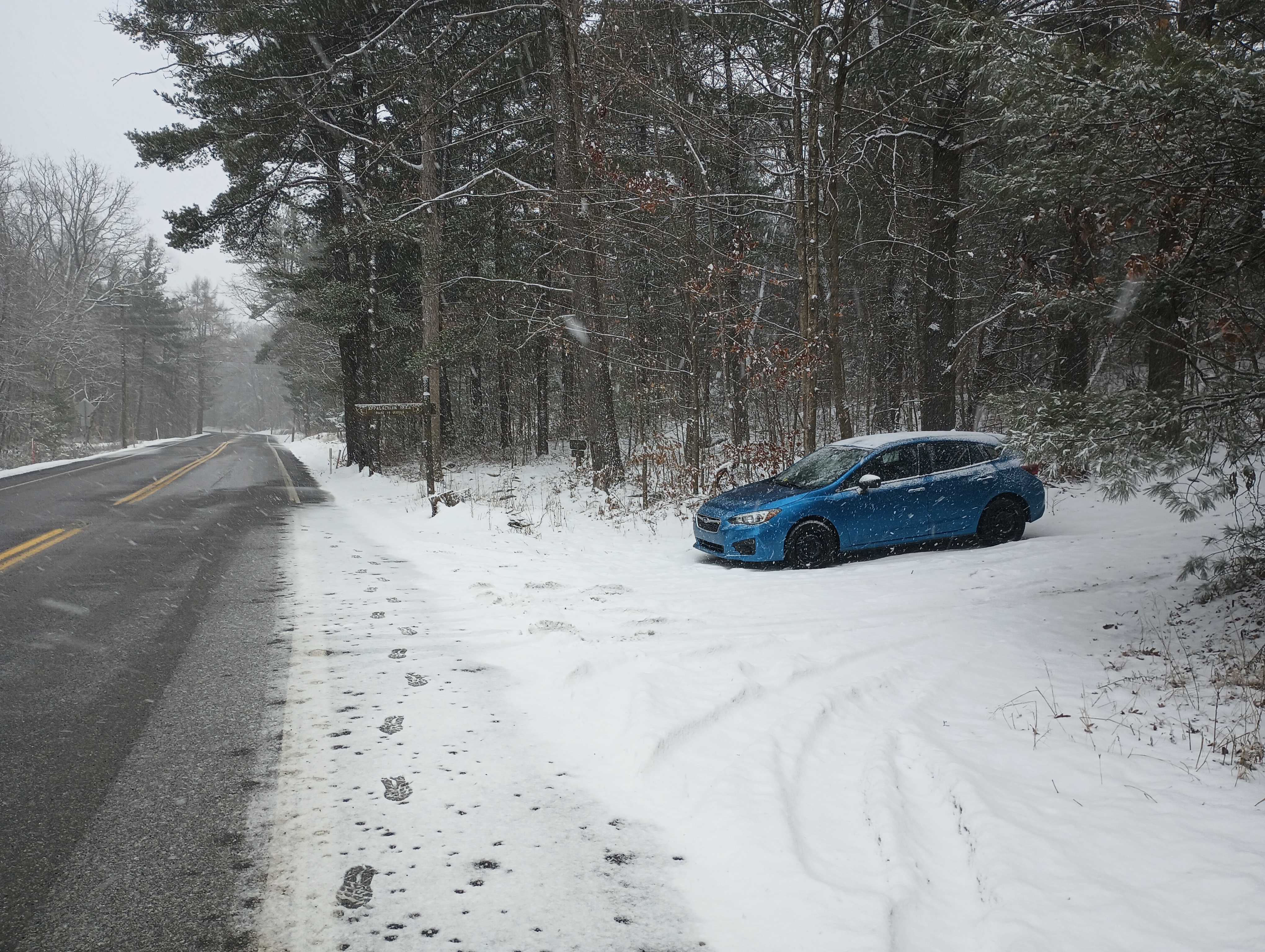
I did not want to drive up snowy forest roads, so I decided to hike in along the Appalachian Trail. I parked at the trailhead on PA 233, which has room for a couple cars. Shortly into the hike, the AT briefly continues along Swamp Rd, then winds on through the forest.
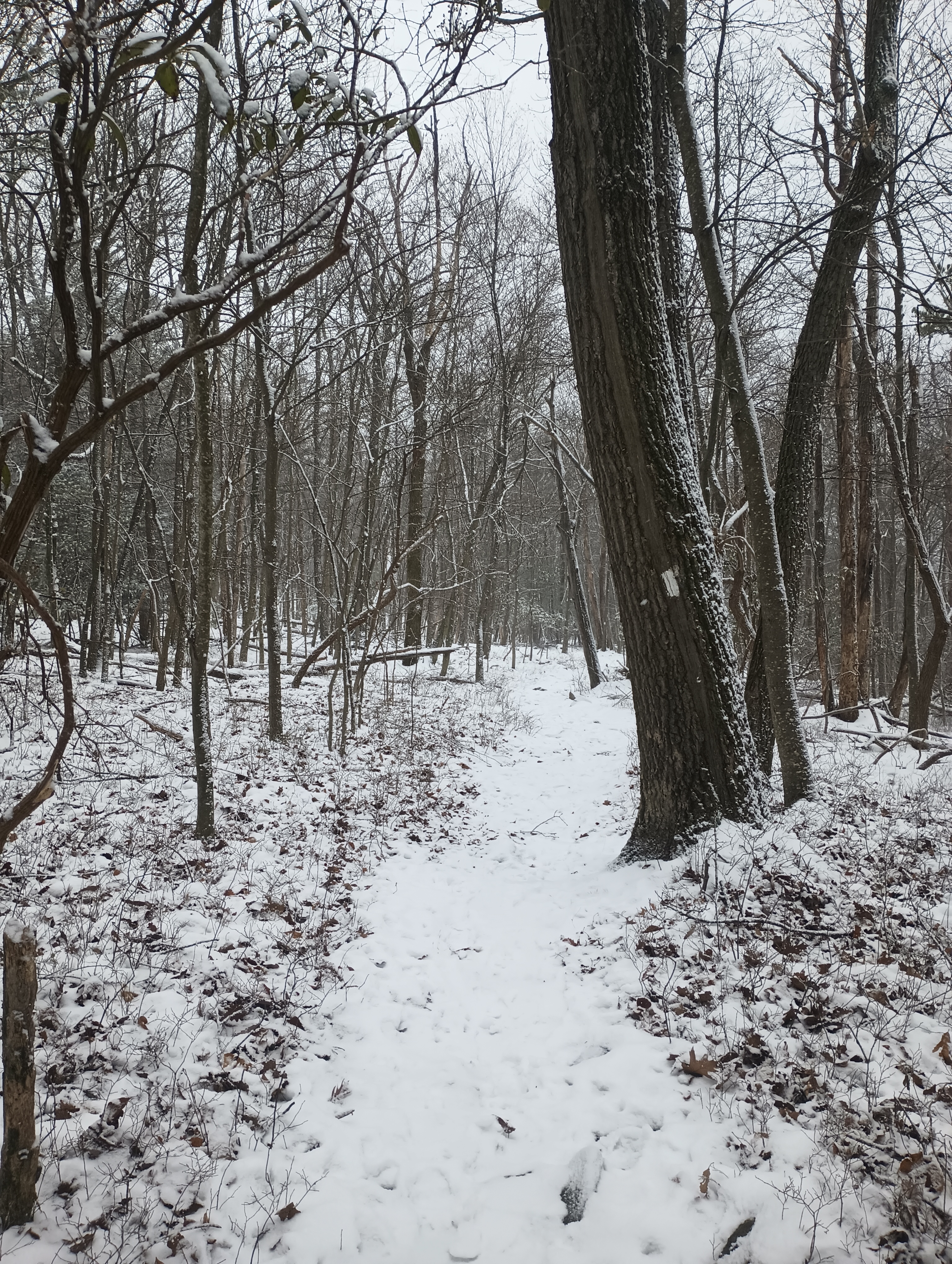
A runner mysteriously materialized, and somehow passed me twice during the 1.6 mile hike. I also saw a hawk carry a squirrel away for a meal. Other than those wildlife sightings, it was a serene and quiet winter hike.

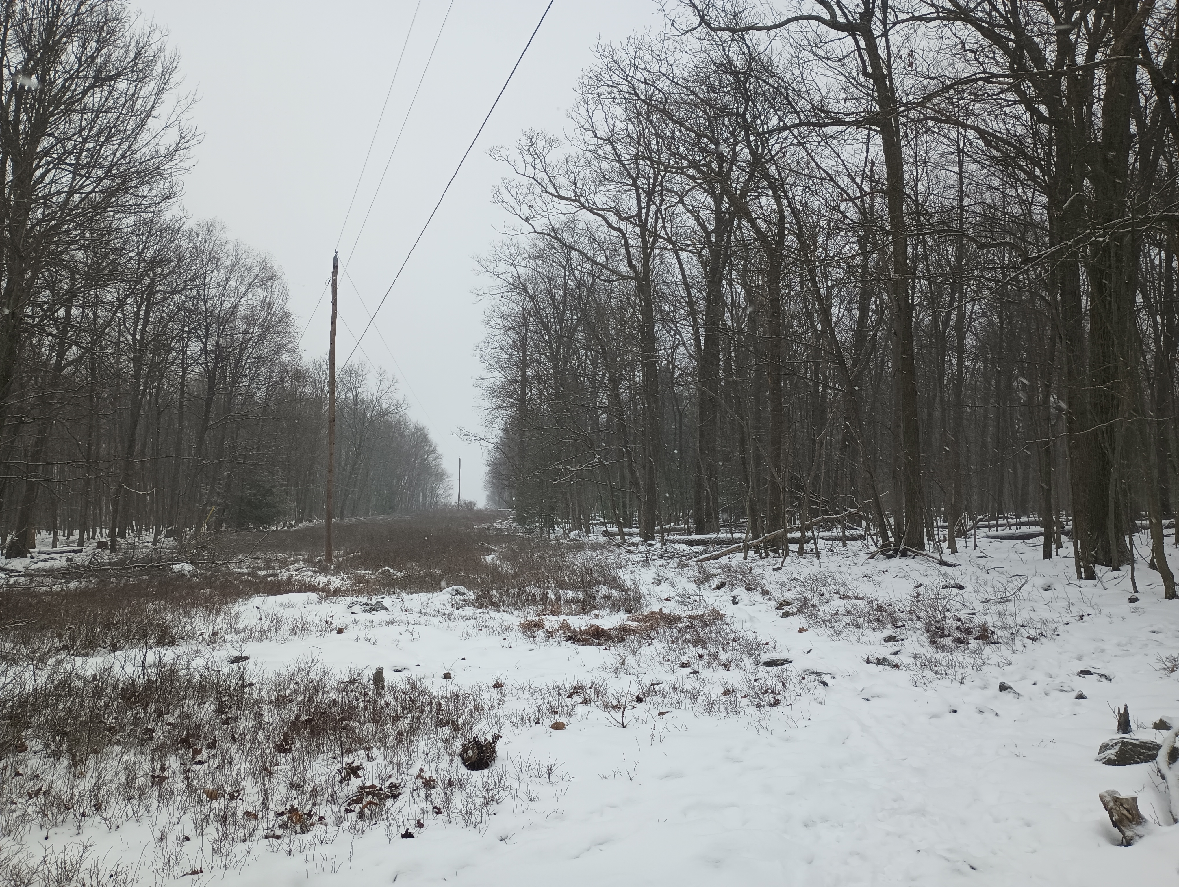
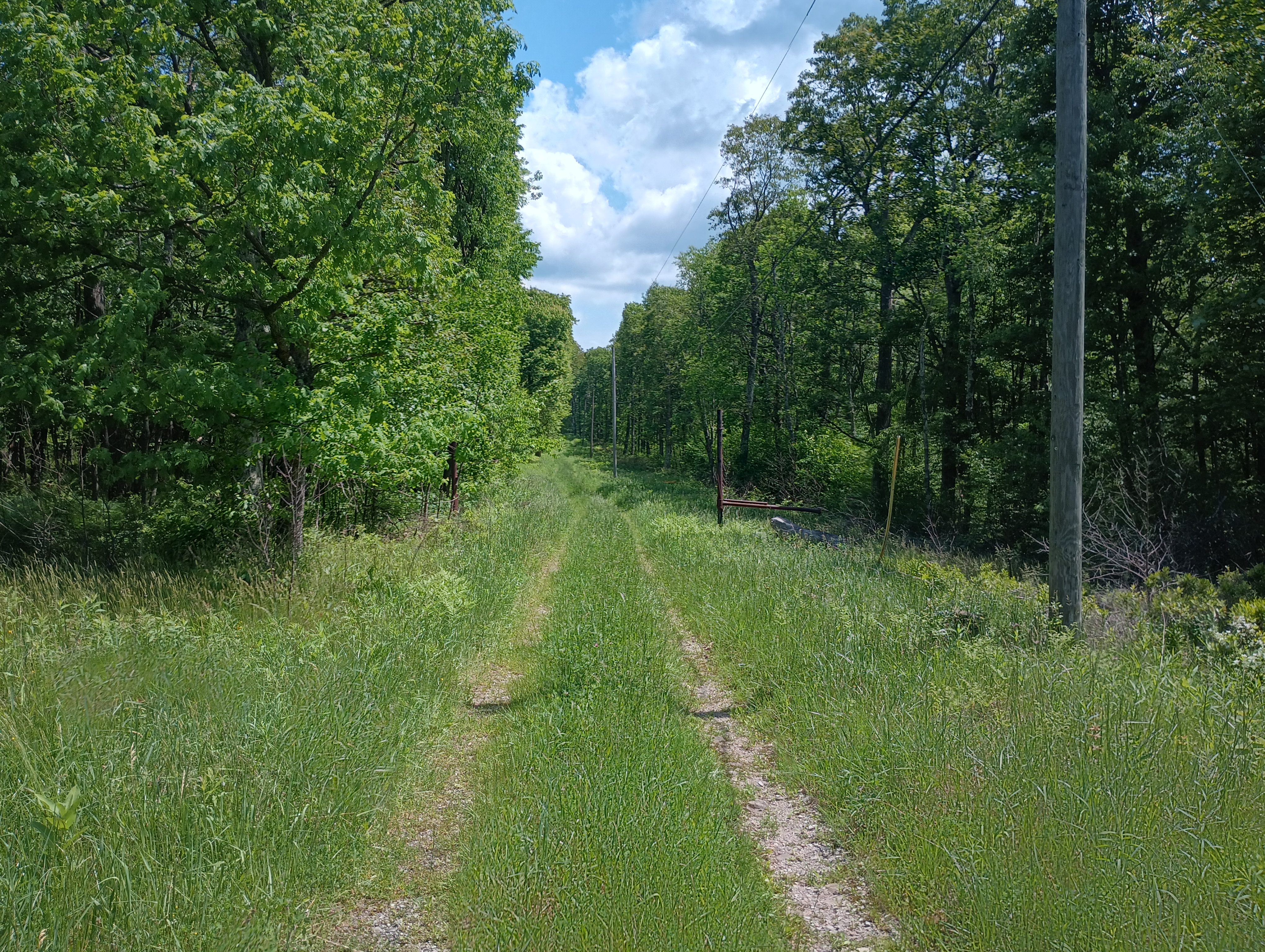
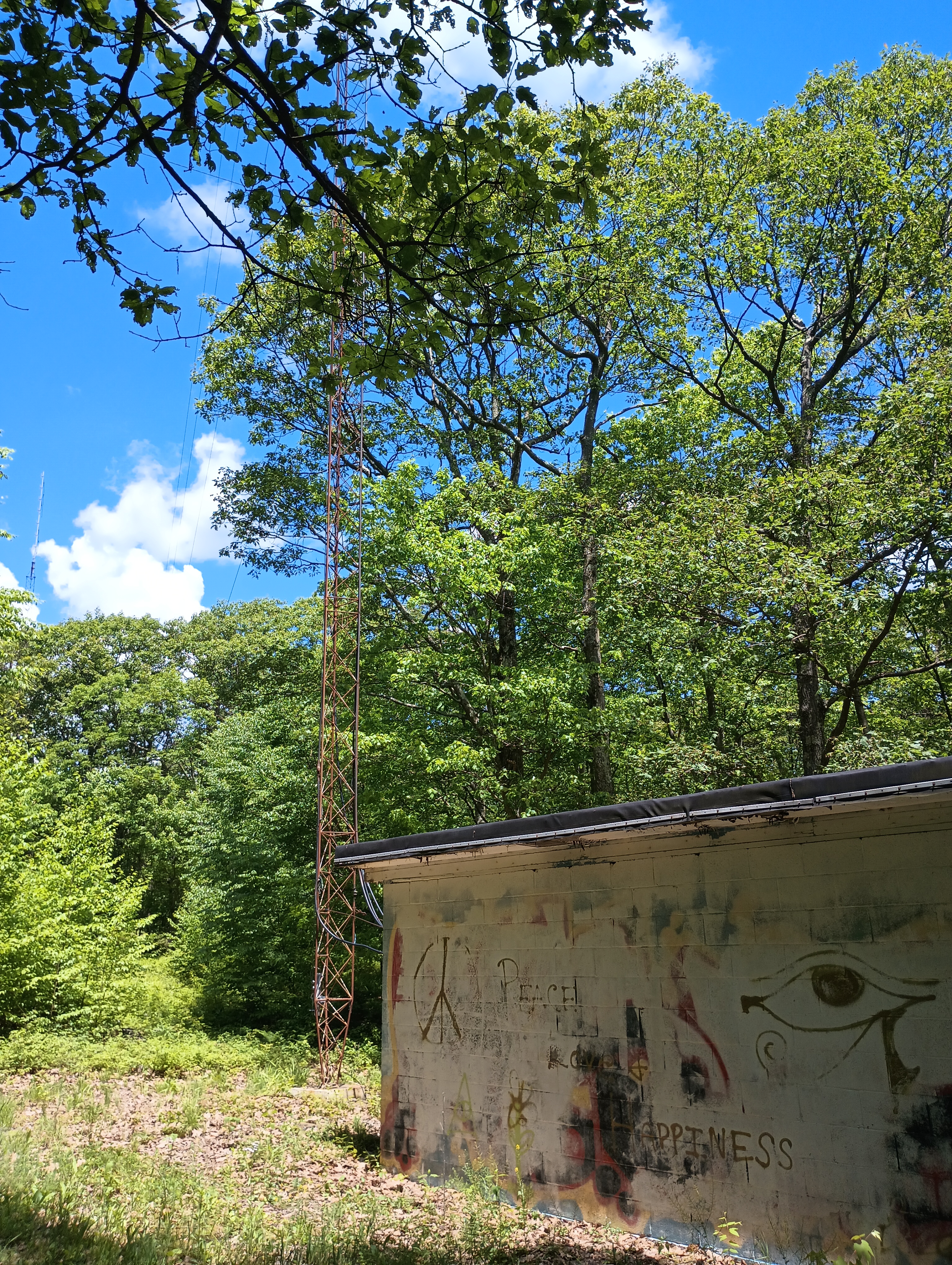
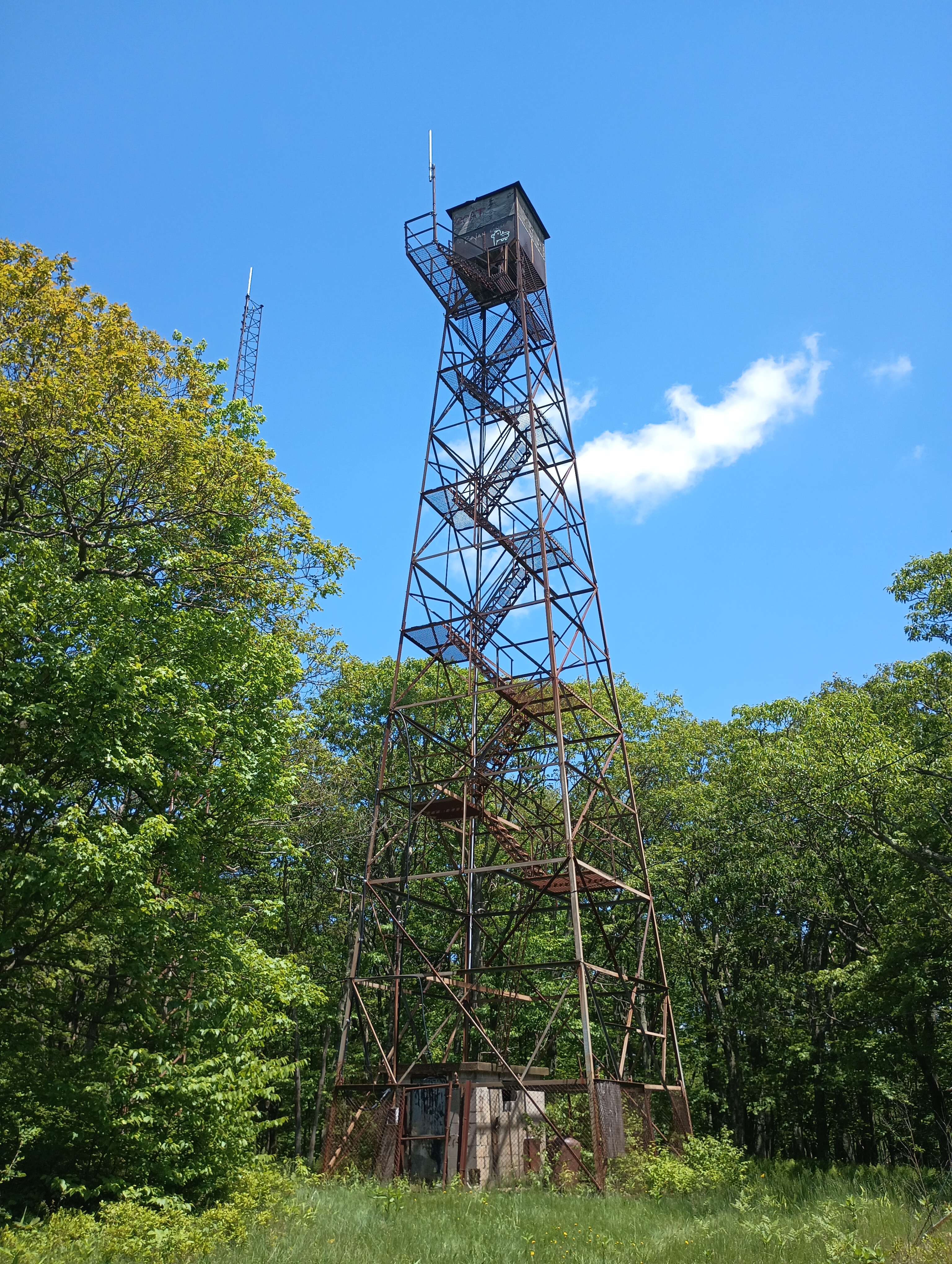
The last half of the hike came with 500 feet of climb. At the end, a powerline cut crosses over with the AT, and a short segment of the Caramba Trail continues due south to the peak, where a couple radio towers stand. The trail appears to be just inside in the activation zone, but I opted to set up about 50 feet up the path to the summit where I found a rock to sit on. At this point, the snow was really coming down in large, wet flakes, so I was eager to get started.
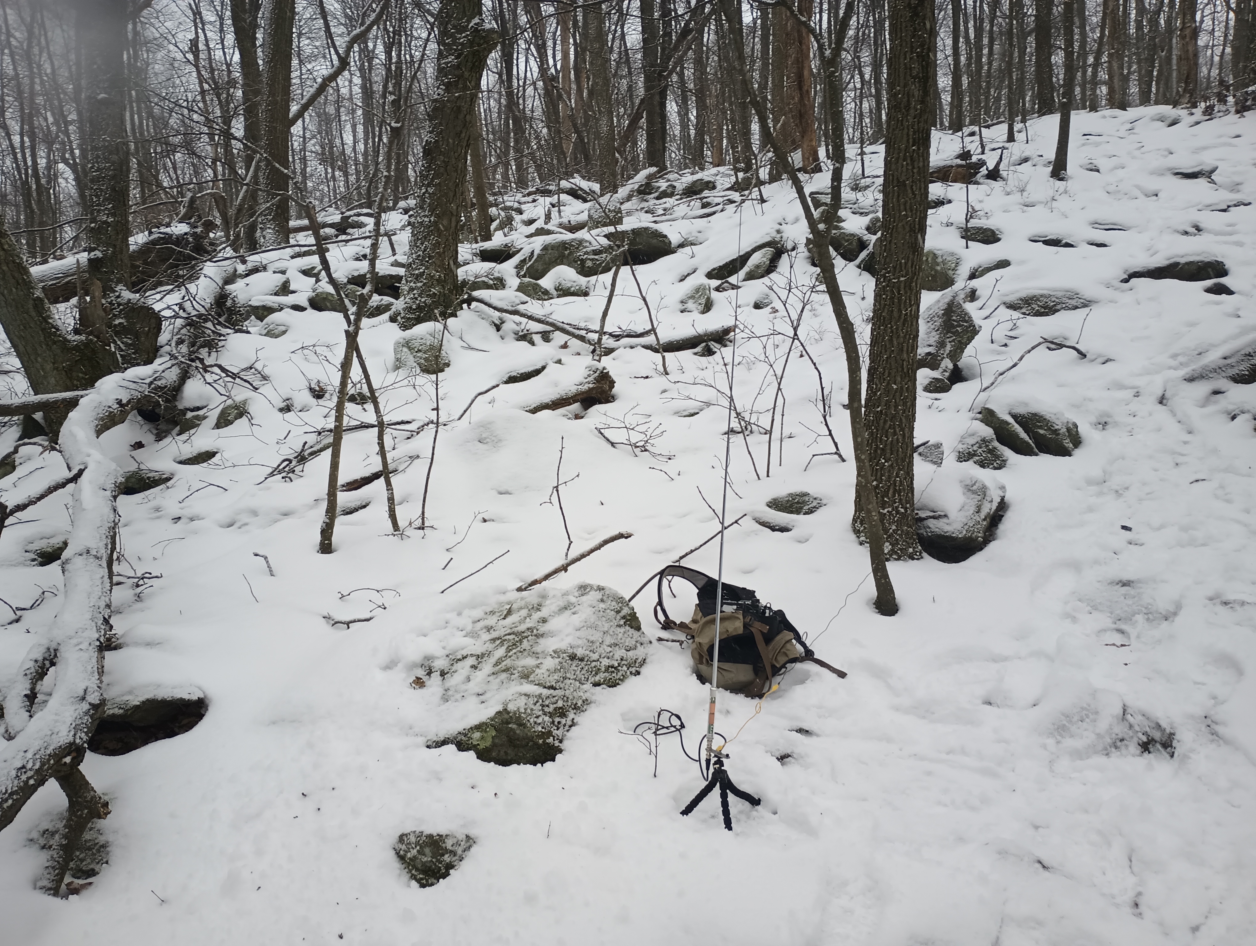
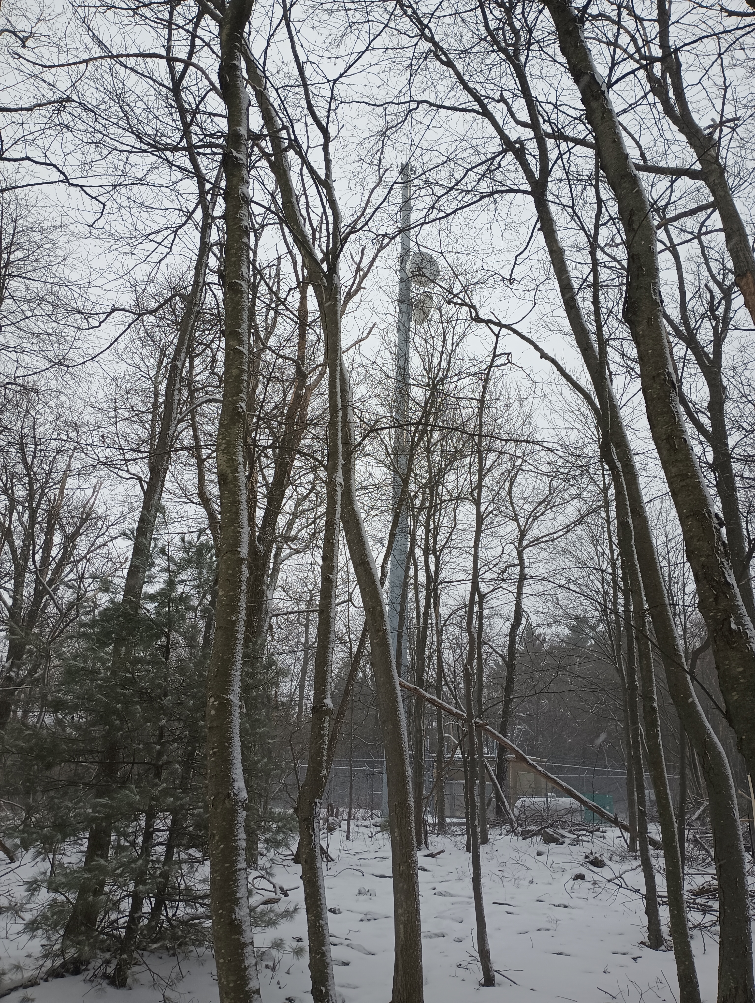
The AX1 worked well! I was spotted quickly on 20m and made 11 contacts in about 20 minutes. By then, everything was starting to get wet and full of snow. Packing up was where the AX1 really shined, with the whole kit stowed away in just a couple minutes.
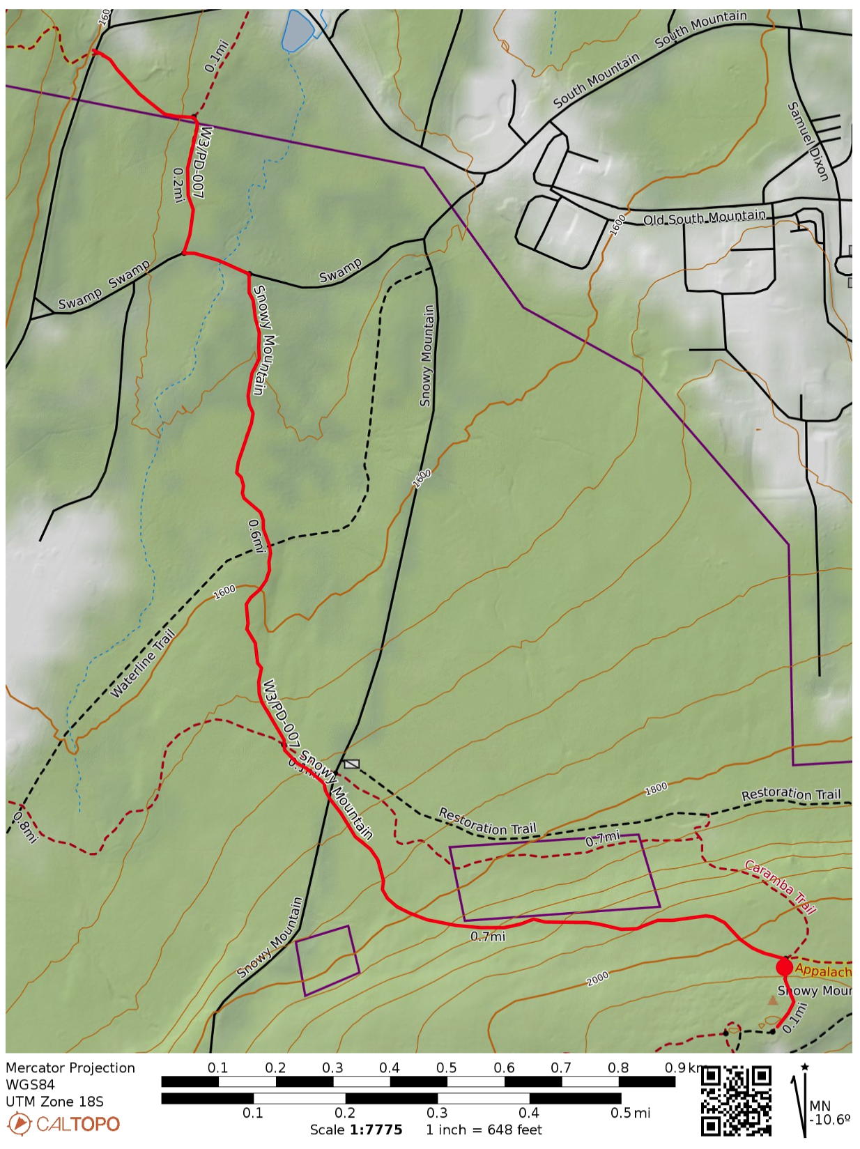
  • Trailhead: 39.84973, -77.50879 : Appalachian Trailhead Parking: PA 233 Rocky Mountain Rd
  • Maps: [AA3TZ SOTA] [Michaux State Forest Map]
  • Route: 3.2 mi out-and-back, following the Appalachian Trail
  • POTA: Appalachian National Scenic Trail (US-4556); Michaux State Forest (US-5471)
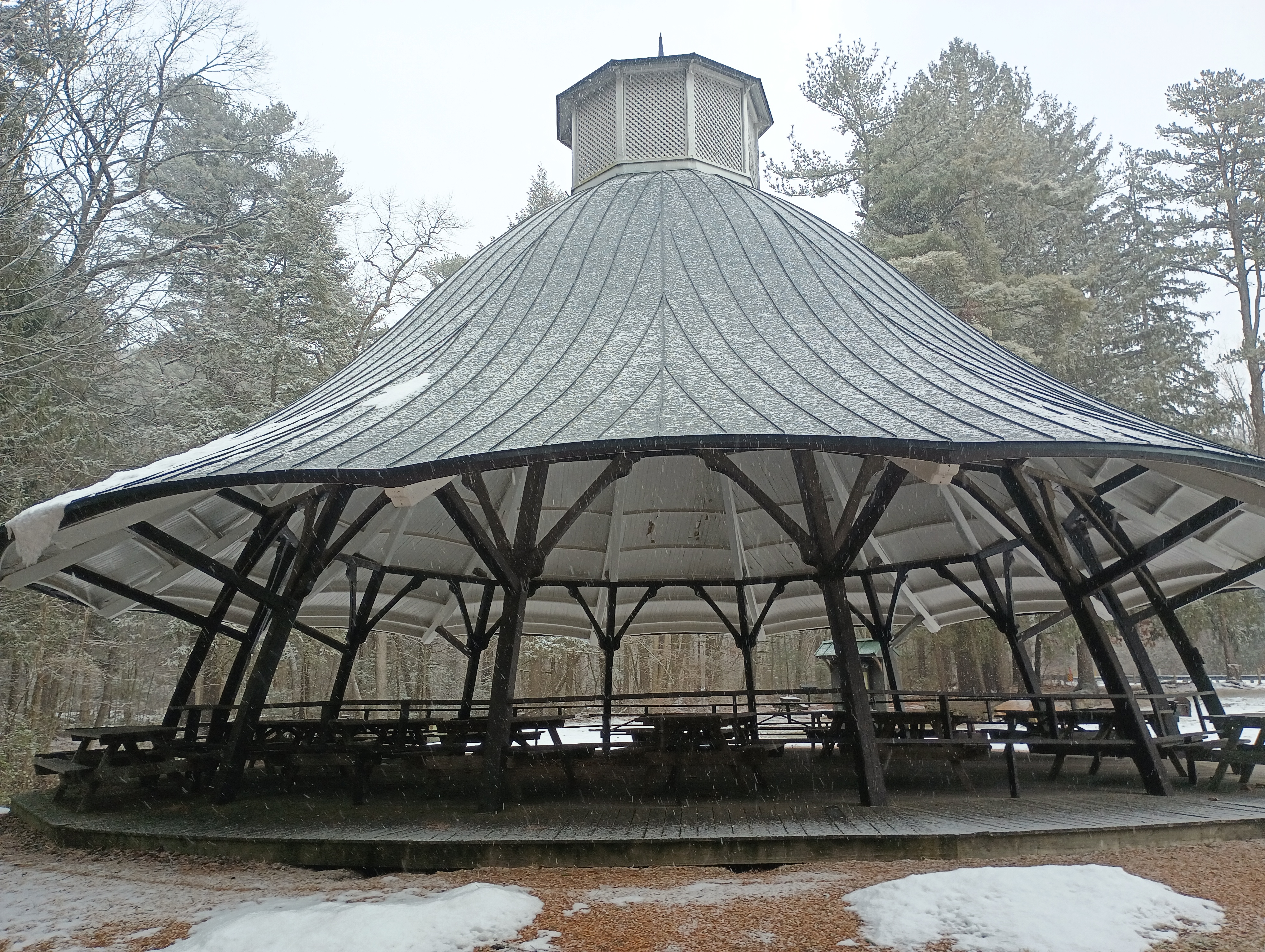
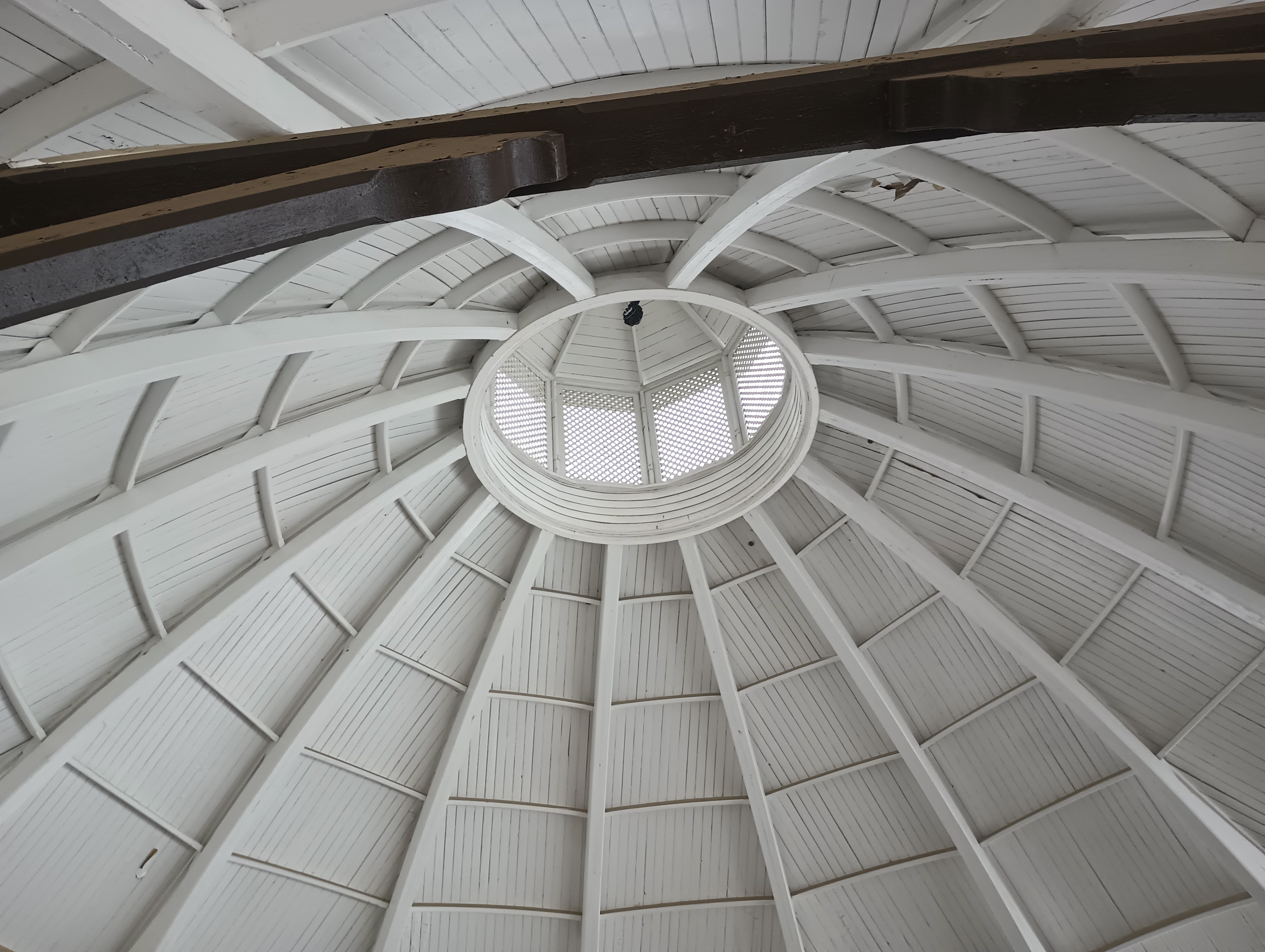
Mont Alto State Park (US-1386) is just over 3 miles down PA 233, so I added this POTA activation to the trip. Mont Alto is the oldest PA state park, and started (as many PA parks in this area) as an iron furnace. The main feature here was a large picnic pavilion (formerly a carousel house) that was an ideal place to set up. I worked this one a little longer due to the shelter keeping things dry, and logged 40 QSOs on 20m CW before calling it quits.

It was on to the next peak: Big Mountain.
W3/SV-005 Wills Mtn

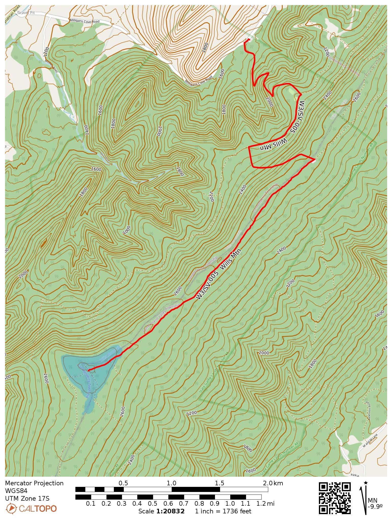
This was my last SOTA activation of 2024, in late December. I was avoiding going out due to rifle season, but now that that was over, it was time for one more radio hike. Wills Mountain is a ridge that extends north-south between Pennsylvania and Maryland, located in PA State Game Land 48. You have your choice of two roads when driving there: PA-96/Hyndman Road goes along the west side of the ridge, while US-220 goes along the east side. There appear to be many ways up, though trail options are limited from the PA-96 side, which is the road I happened to use.

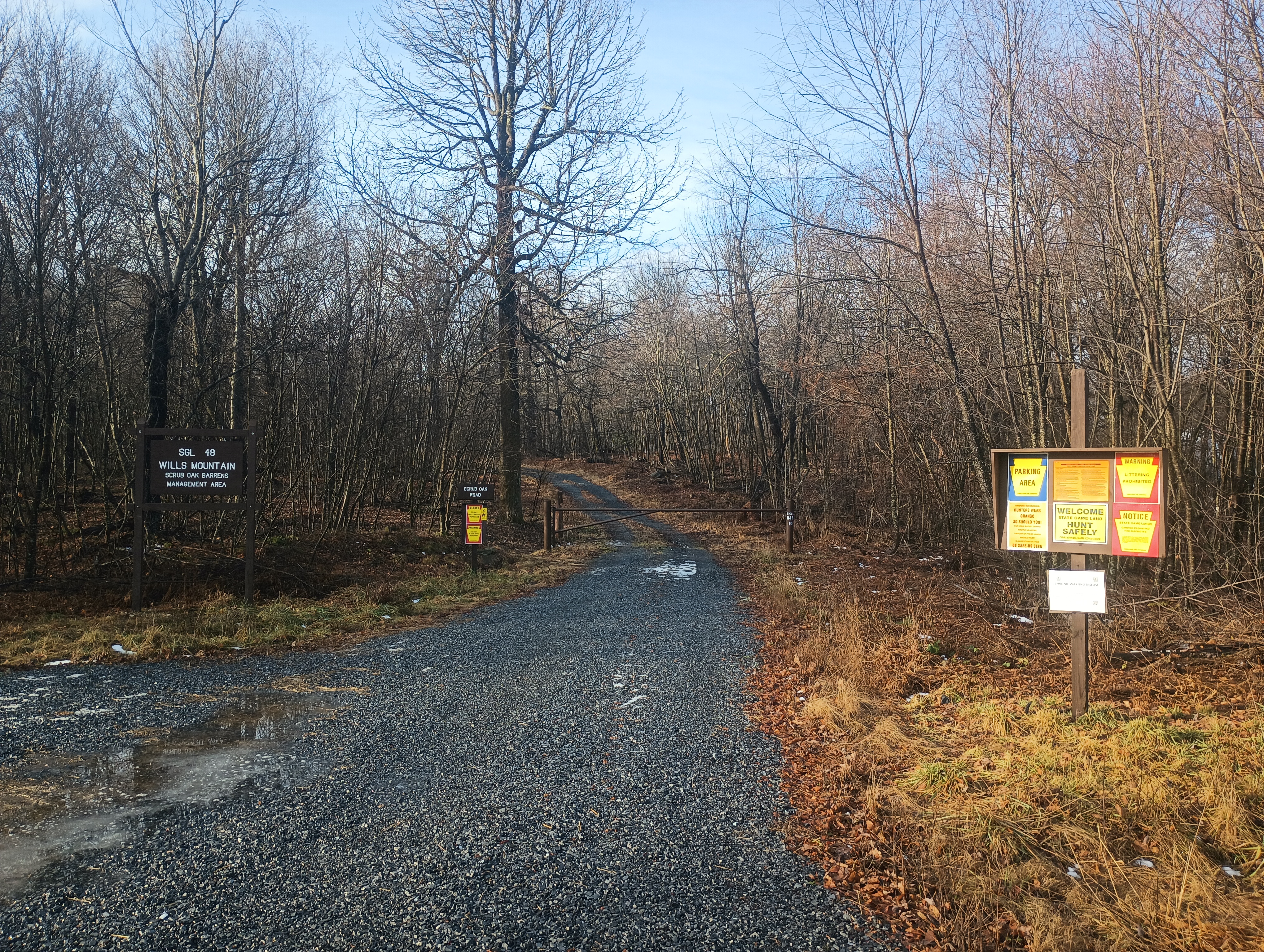
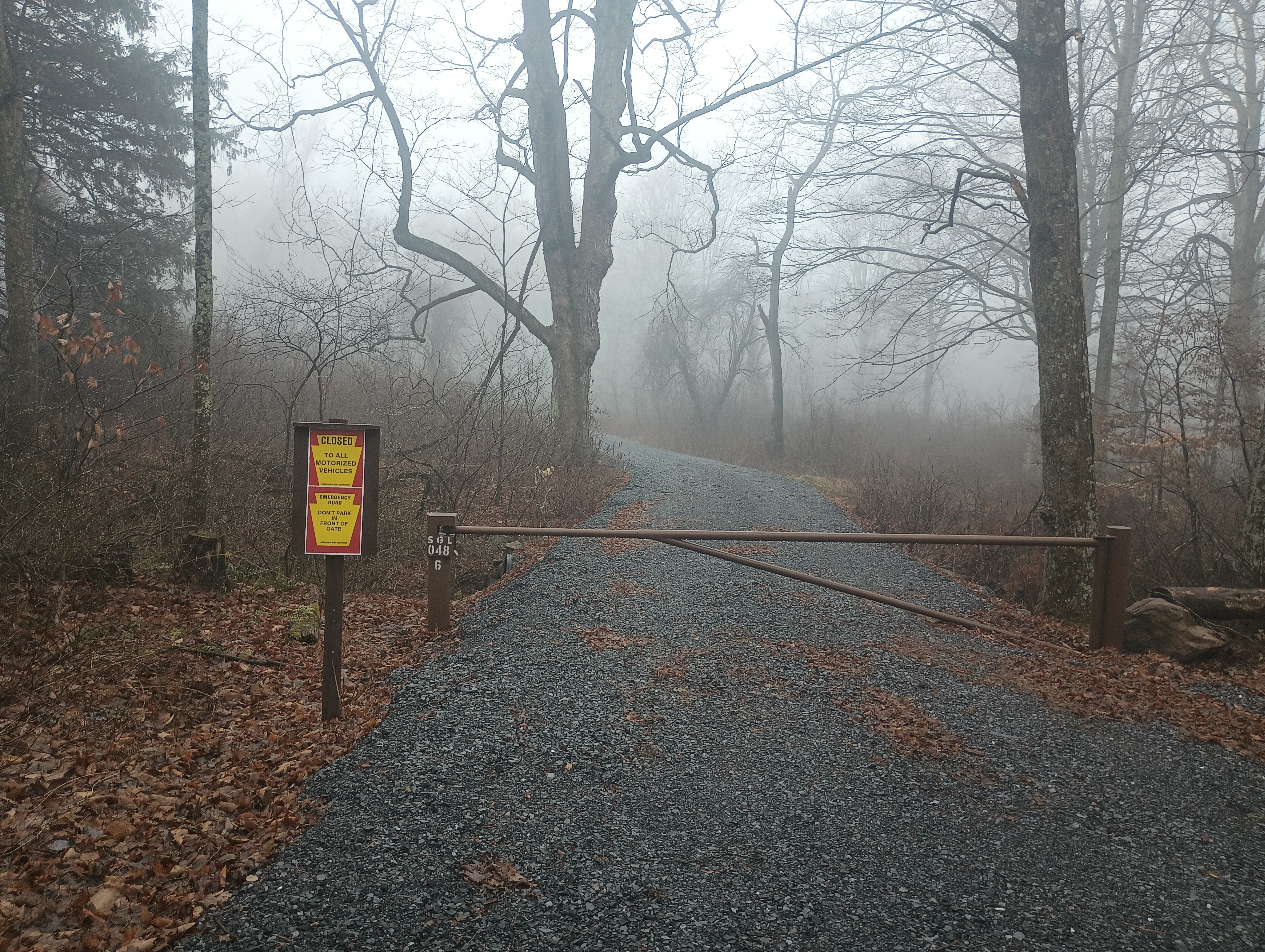
I turned onto Milligans Cove Road to get into the game lands and stopped at a small parking area by a gated dirt road. Here the game lands are divided in two by private property, and going any farther would have gotten me into needless trespassing. I did not have to pass through any gates to get here, so this route should be open outside of hunting season.

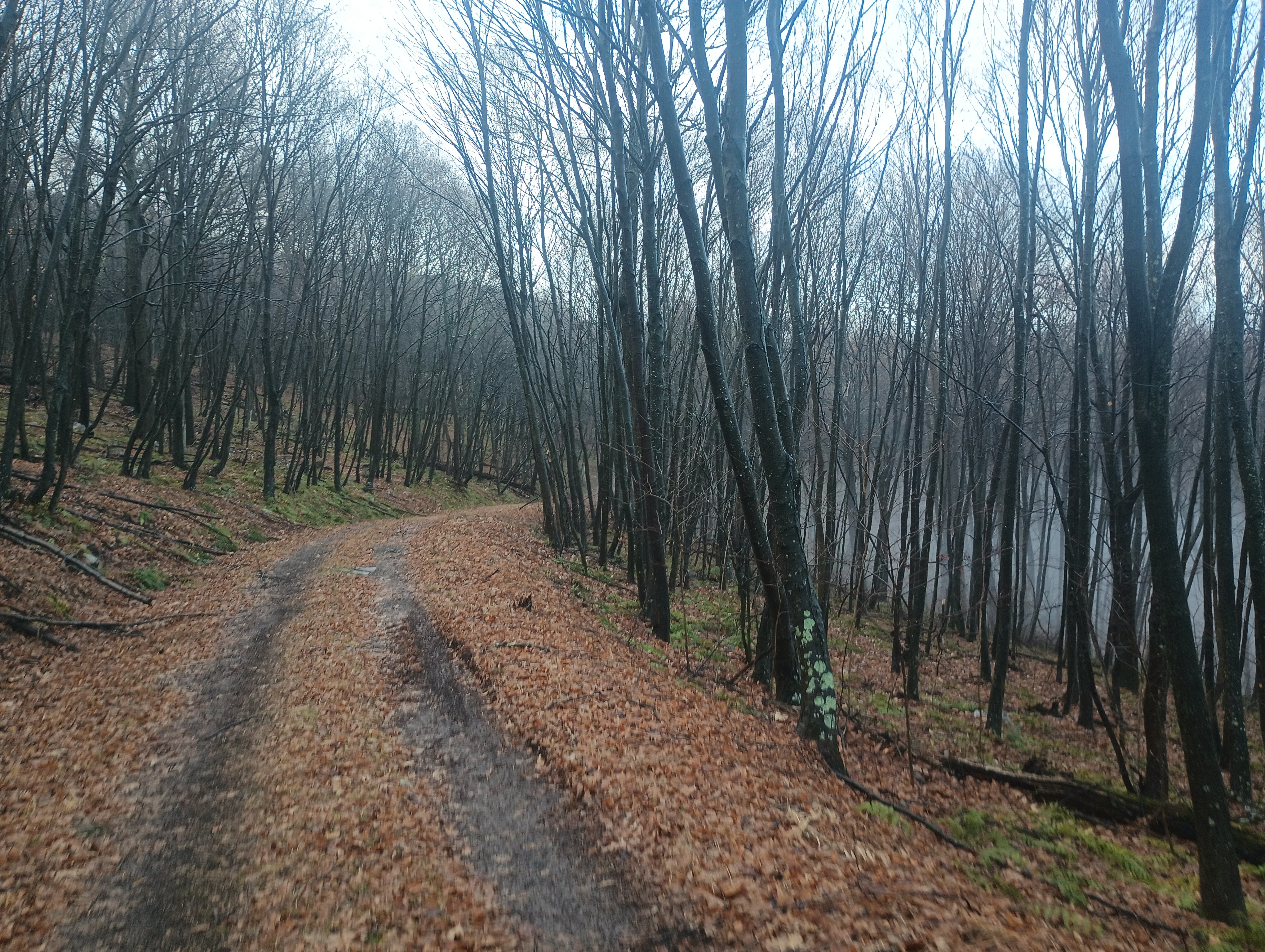
The first mile of the hike was a series of switchbacks up for 550 feet of elevation gain. The trail flattened out for a half mile, then it was another 400 feet of climb until mile 2. Here is a parking area that is open during hunting season, and would be a great place to park, but you have to approach from the east US-220 side of the mountain ridge.

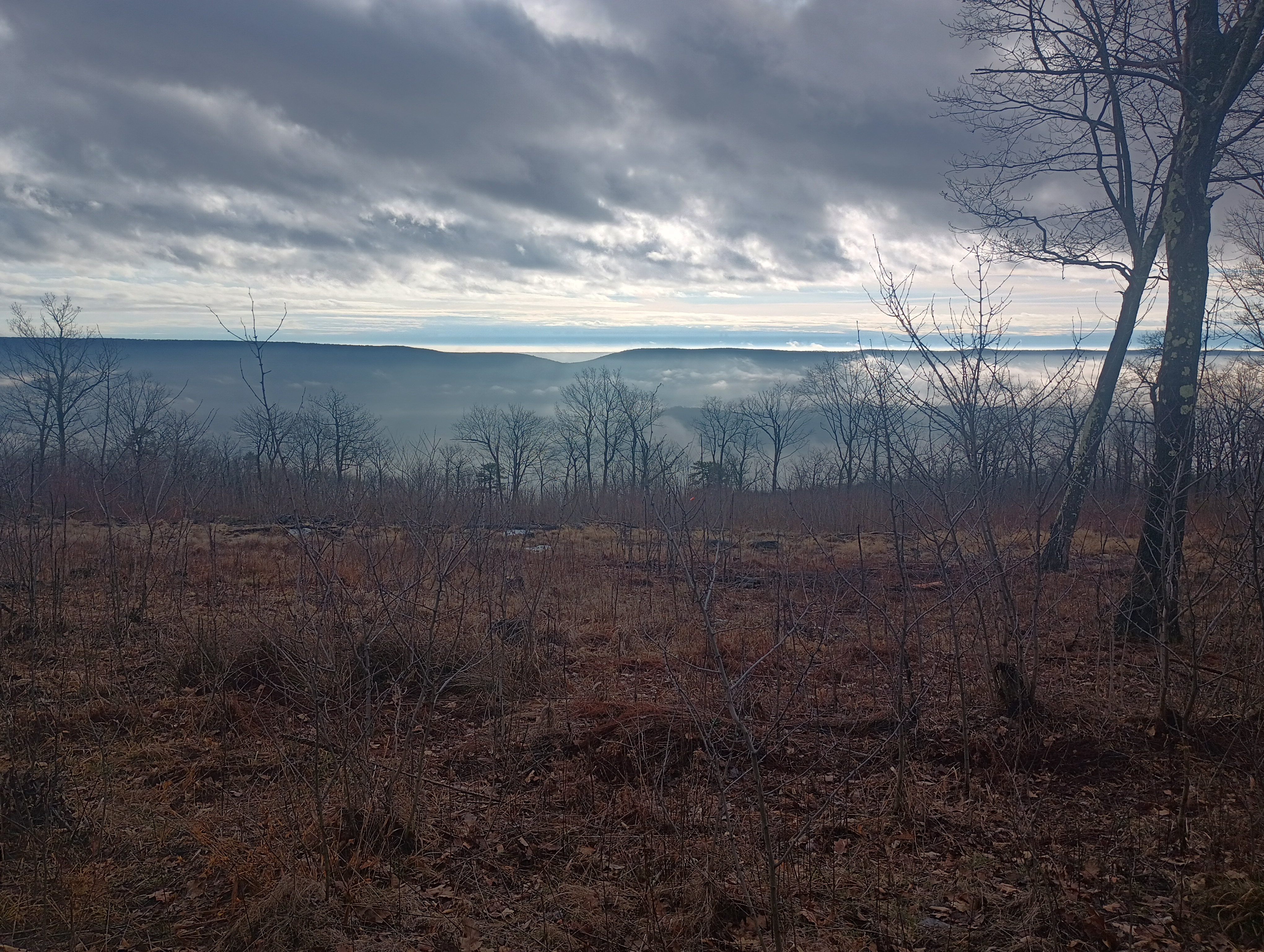
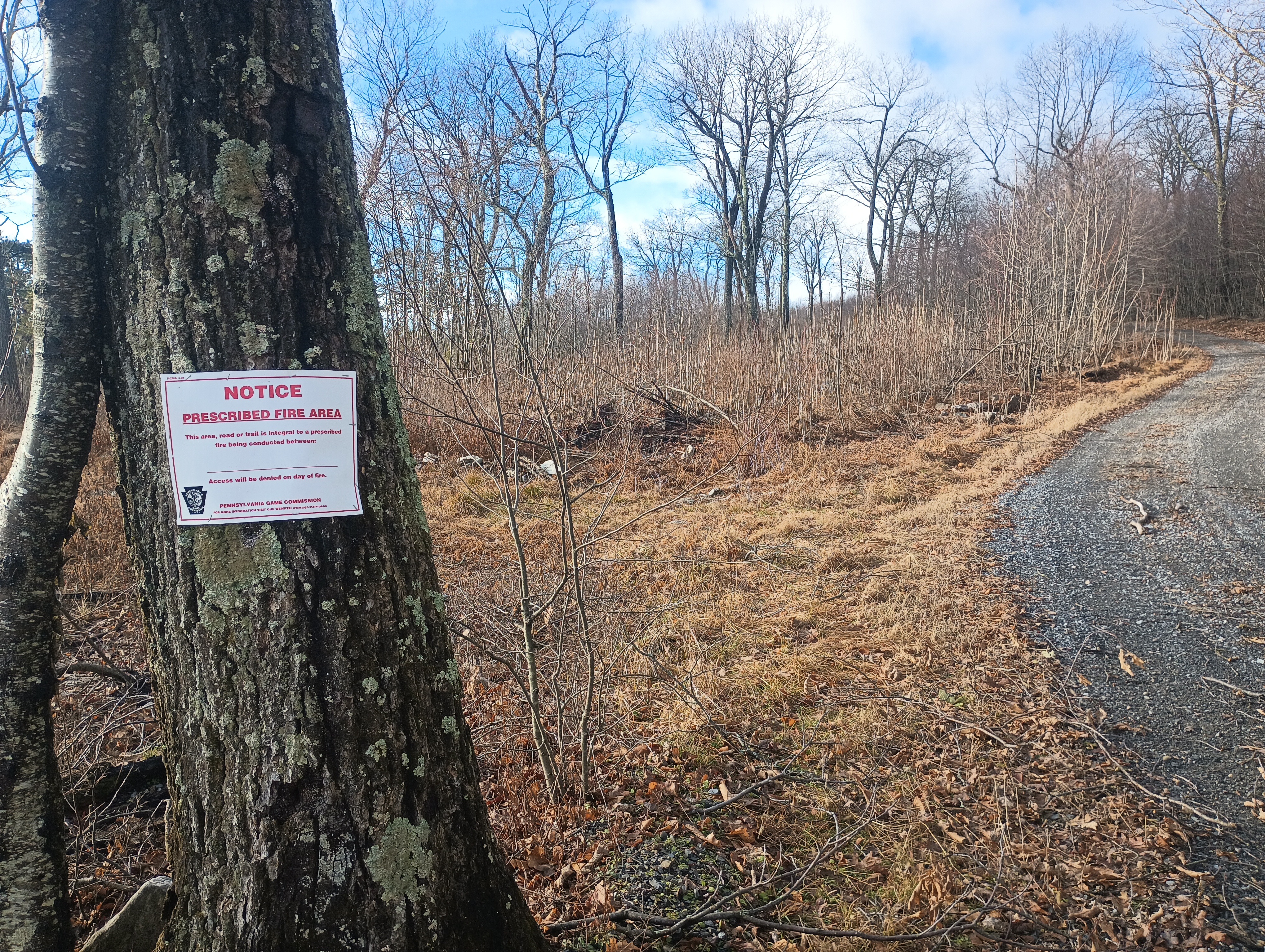
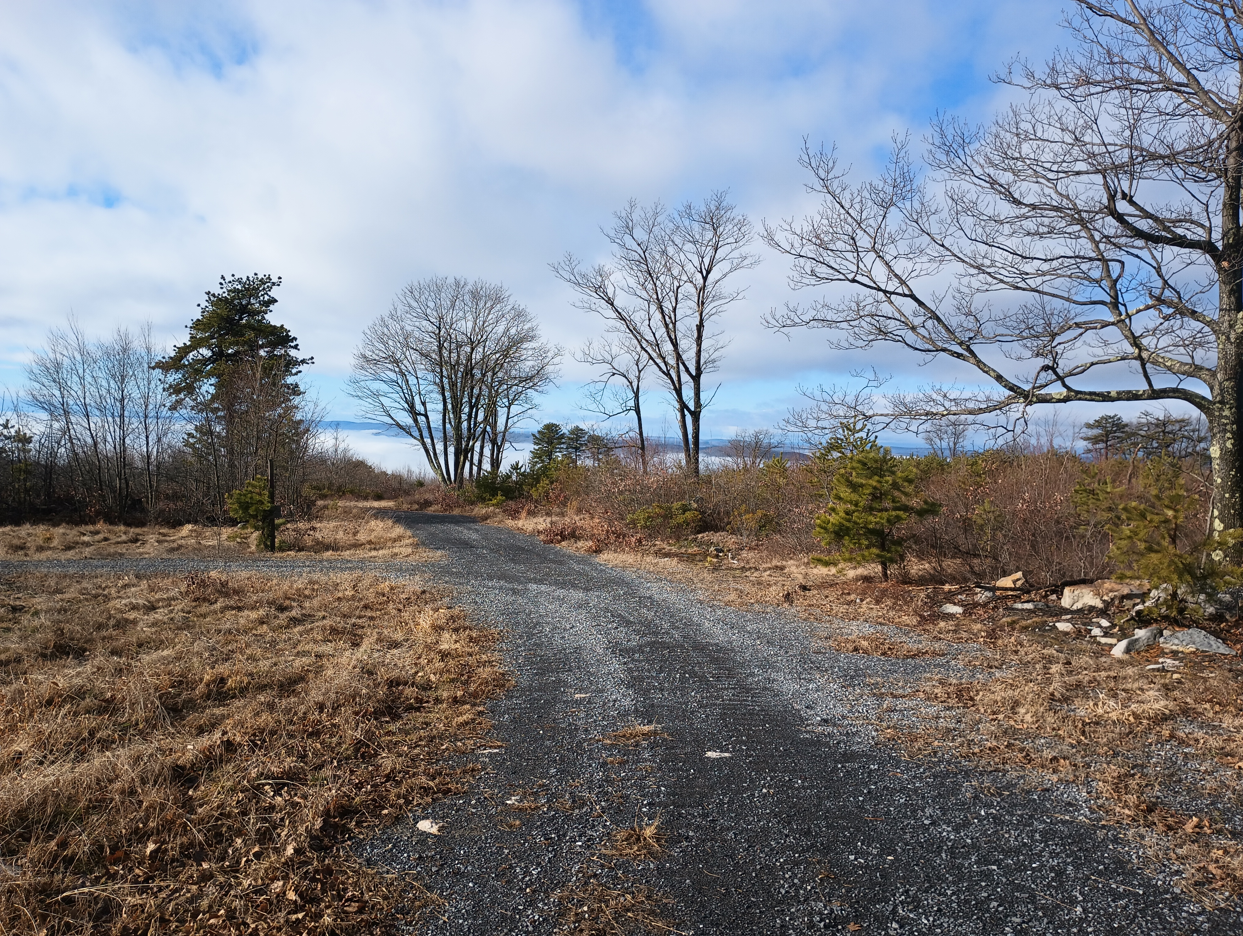
After this, the hike followed the Wills Mountain ridge for 2 miles. From here, I had a cool breeze. This is a controlled burn area, so there are some wonderful views of the surrounding hills in the cleared parts. At the summit are plenty of trees for throwing up wires.

Views of Evitts Mountain from the ridge.

Since this was one of the last days for the 2024 10m SOTA challenge, I started on 10m, picking up some DX: F4WBN, IK5DAK, and M1EYP/P on G/SP-015 The Cloud. I also worked WN2G S2S on W3/PW-038 Jefferson County Highpoint on 40m, which is on my to-do list of nearby SOTA peaks. I did not linger too much longer since I was hearing continuous hunting fire in the distance (or perhaps it was a shooting range), so I wrapped with 14 QSOs.

I had planned to follow this up with an activation of nearby W3/SV-006 Martin Hill, but I had to rush back for dinner plans, so that became a POTA activation of Buchanan State Forest instead. I’ll be back!

  • Trailhead: 39.87622, -78.66157 : State Game Land 048 parking area. (39.86477, -78.65392 is another parking area open during hunting season that cuts off 4 miles RT.)
  • Map: [AA3TZ SOTA] [PA 048 State Game Lands Map]
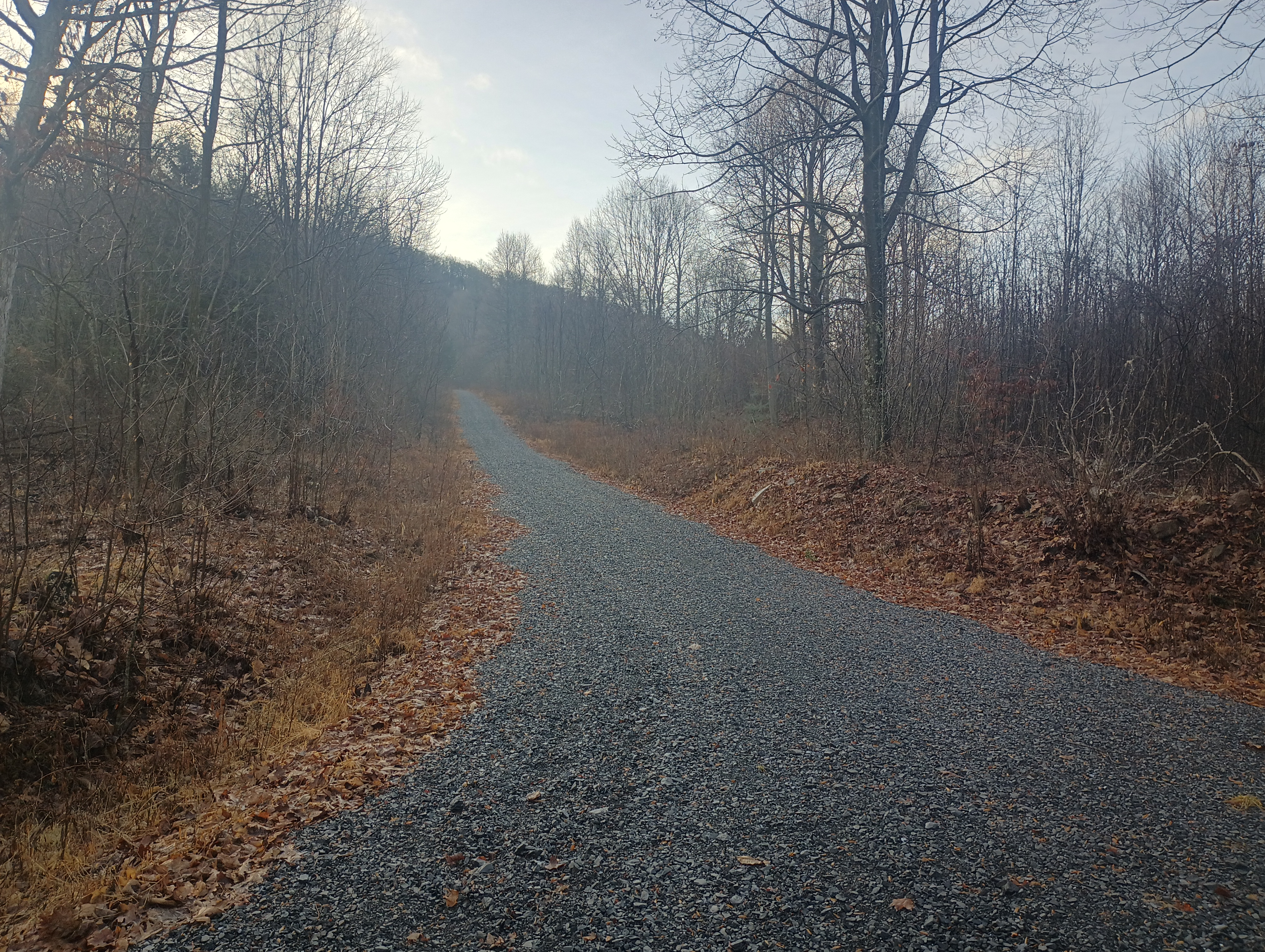
  • Route: 8 mile out-and-back hike, first half along dirt road denoted “Special Trails” on the SGL map, then second half on an unimproved gravel road.
  • POTA: PA 048 State Game Land (US-8747)

W3/PW-071 Sandy Ridge

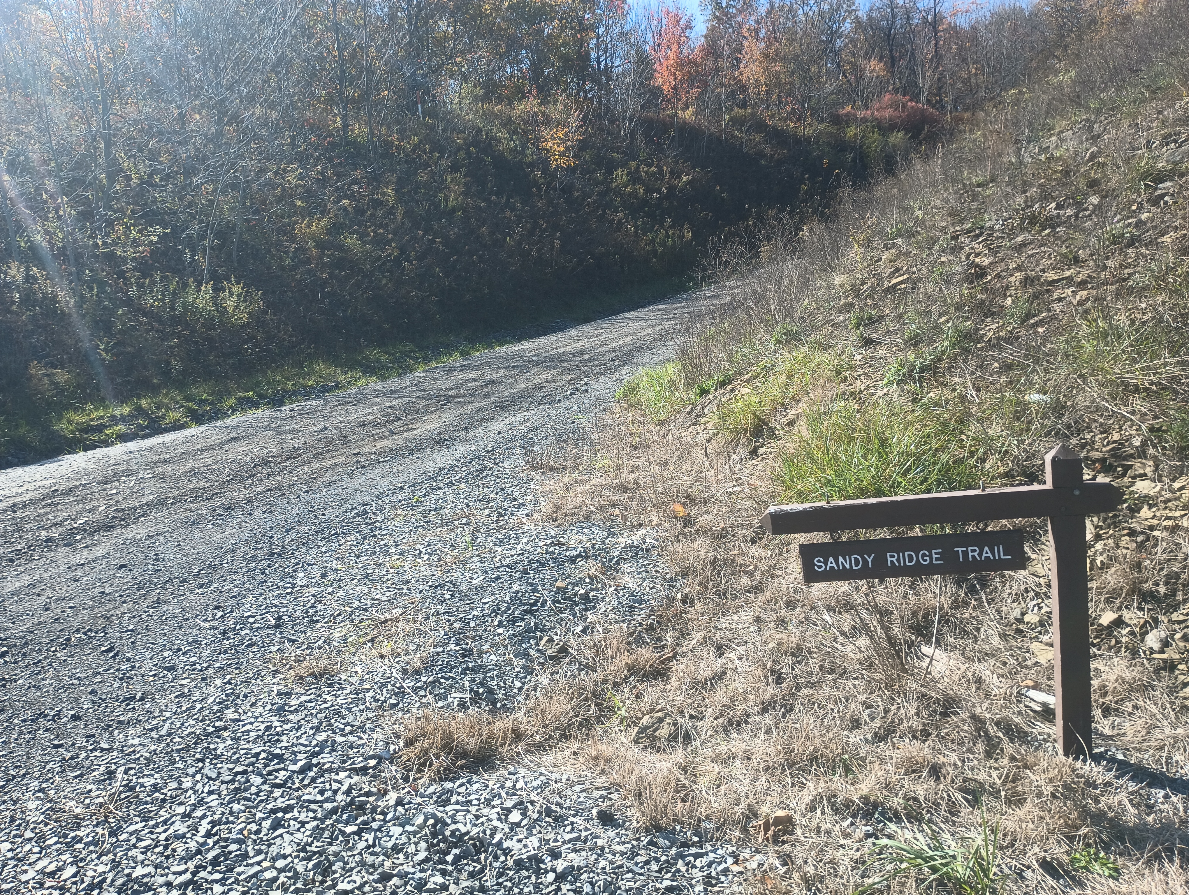
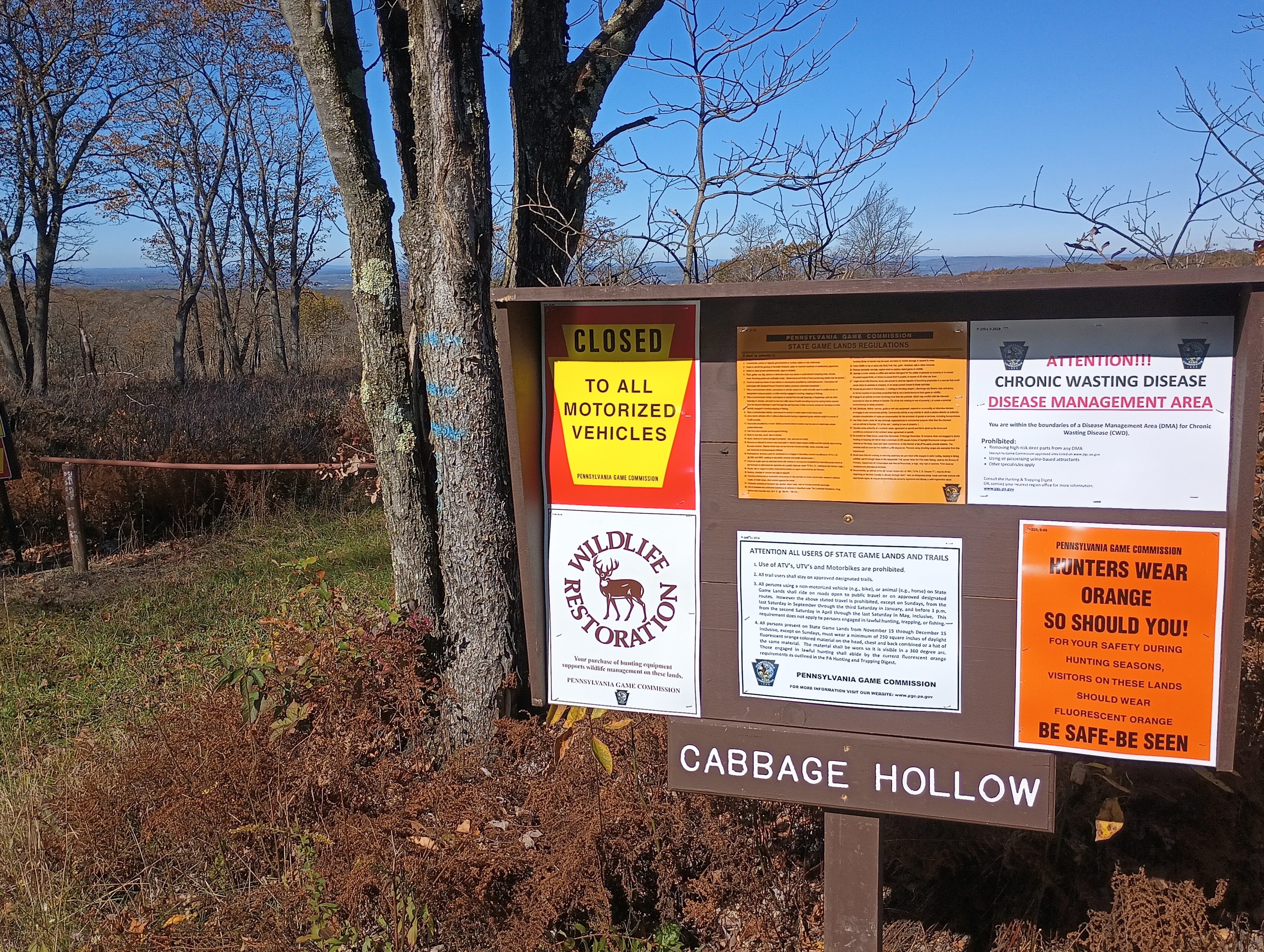
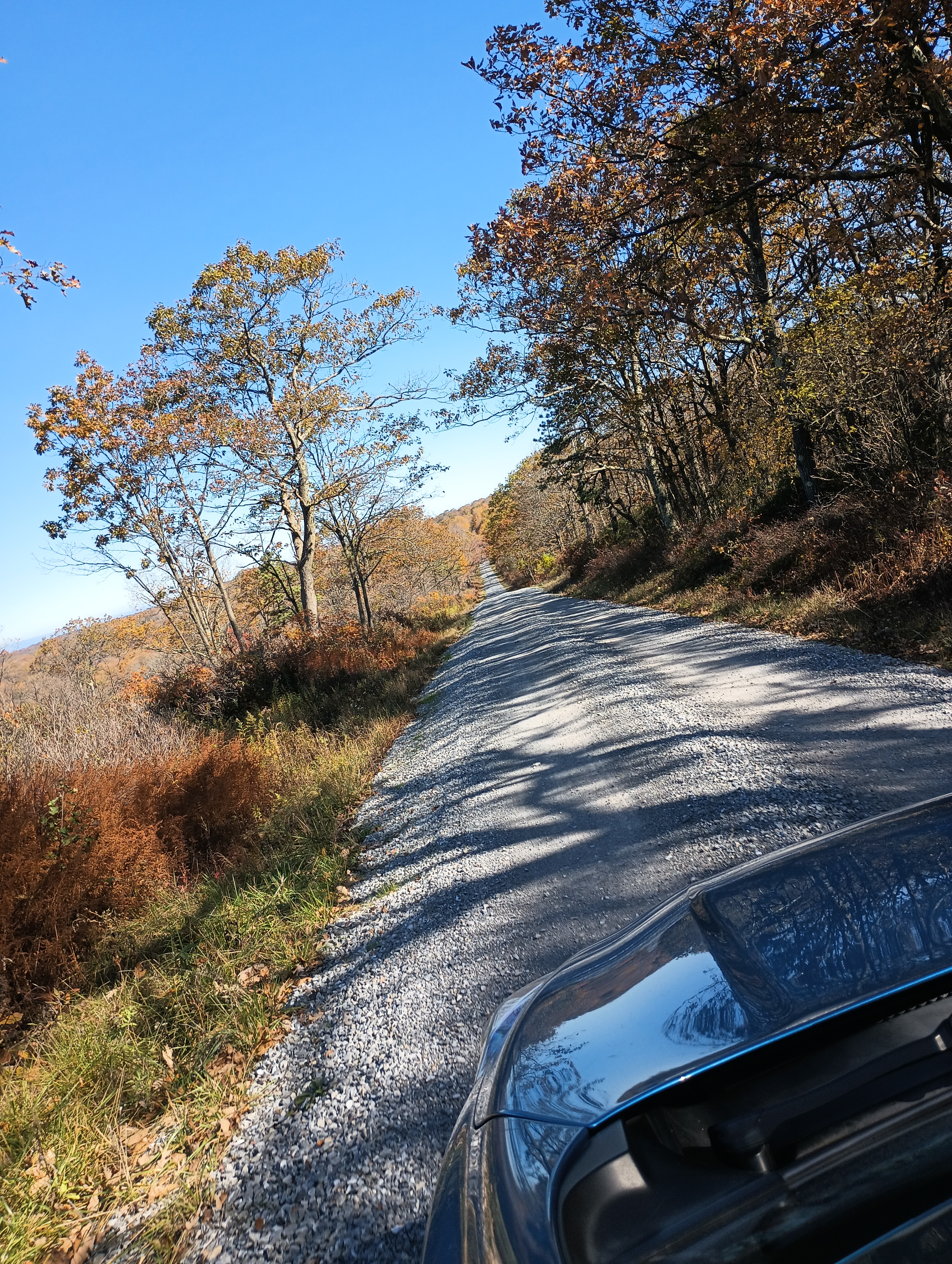
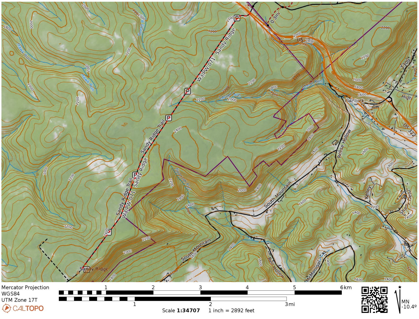
For the second half of fall break, I took a drive to State College to peep at leaves and do some more SOTA. I stopped by Sandy Ridge in State Game Lands 33 in Centre County, driving south along Sandy Ridge Trail road from US-322. After 4 miles of easy gravel road driving, I was in the activation zone.

Entrance to Sandy Ridge Trail from US-322.
Hunters wear orange — so should you! Many trails go deeper into the game lands from Sandy Ridge Trail.
The road was straight and easy to drive on, though a bit narrow for when I had to pass a few trucks.

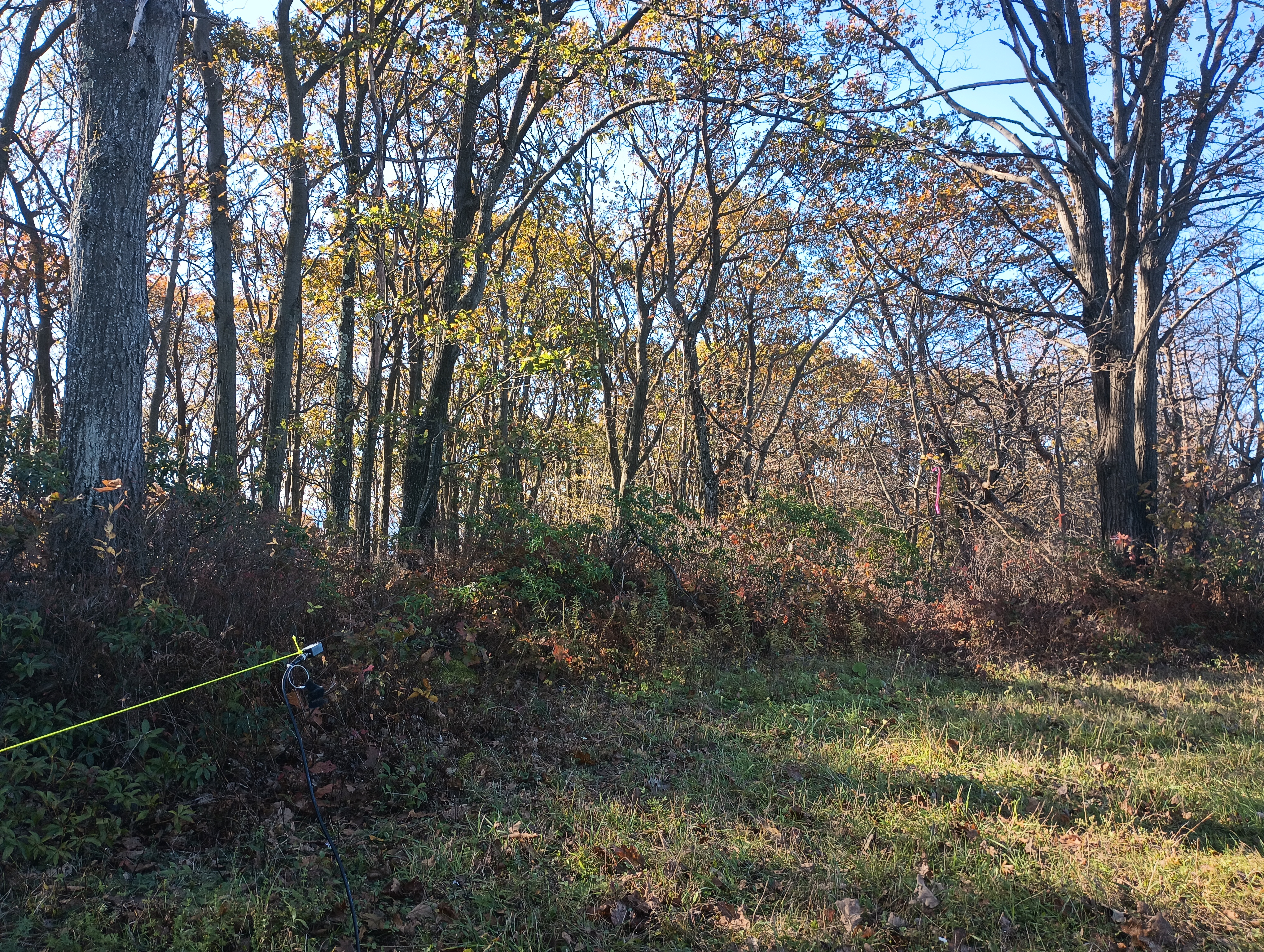
I had never worked from a game land before, so I wasn’t sure what to expect. Since it was early October, it wasn’t yet rifle hunting season. I still wore blaze orange and did my best to not appear grouse-like (honestly, good policy most of the year). I used a throw line to get my end fed up into a nearby tree in the parking area.

Operating location in the parking area.

The sunspots pulled me into a fugue-like state and I operated for one hour, notching 53 QSOs. Ten meters was crazy. I got a bunch of DX: G4OOE/P on Bishop Wilton Wold (G/TW-004), DL2DXA, DL1HBT, IK4IDF, SQ9IDE, DL1FU, DL1AX, SM0GJN, SP9FMP, OK1KT, EA2BD, CT1HIX, MW0IDX, EA4R, and SV2OXS. Incredible!

  • Trailhead: 40.841634, -78.132874 : Sandy Ridge Trail and US-322
  • Map: [AA3TZ SOTA] – Driving track along Sandy Ridge Trail
  • Route: Drive-on via 4-mile gravel road, good condition
  • POTA: PA 033 State Game Land (US-8732)

W8V/PH-058 Backbone Mountain and Blackwater Falls State Park

We were staying in Davis, WV to see the leaves during our fall break in mid-October. It was colder than anticipated, and the area got its first snow of the season while we were there! Driving up to Backbone Mountain was simple. We followed US-48 west out of Davis until we reached a parking lot for Fred Long Centennial Park, with large wind turbines nearby. Here we pulled into the gravel road across from this parking spot and followed it the quarter-mile to the summit.

It was very foggy, so there was not much to look at while getting my end fed as high up as I could. After 15 QSOs on 40m and 20m, I had a look at the spotter and I noticed many European stations were on 10m, so I decided to give it a try. To my shock and delight, stations from Europe were booming in, and I was able to work 15 more stations in just over 10 minutes before the mini-pileup had dried up.

10m transatlantic contacts: F4WBN, EA4R, G3VXJ, DJ2MX, G3XBI, SQ9IDE, G4OBK, DL4FDM, and HA7WA

10 meters really is the magic band! I did not use it often when I was more active in SOTA in the Bay Area, as sunspots were on the downswing during those years (2015-2018). I was lucky to get back into the hobby during the peak of Cycle 25!

  • Trailhead: 39.14683, -79.57417 : Gravel road across US-48 from Fred Long Centennial Park
  • Map: [AA3TZ SOTA] – For the driving track
  • Route: Drive-on along quarter-mile gravel road
  • POTA: No, but close to Blackwater Falls State Park (US-1802)

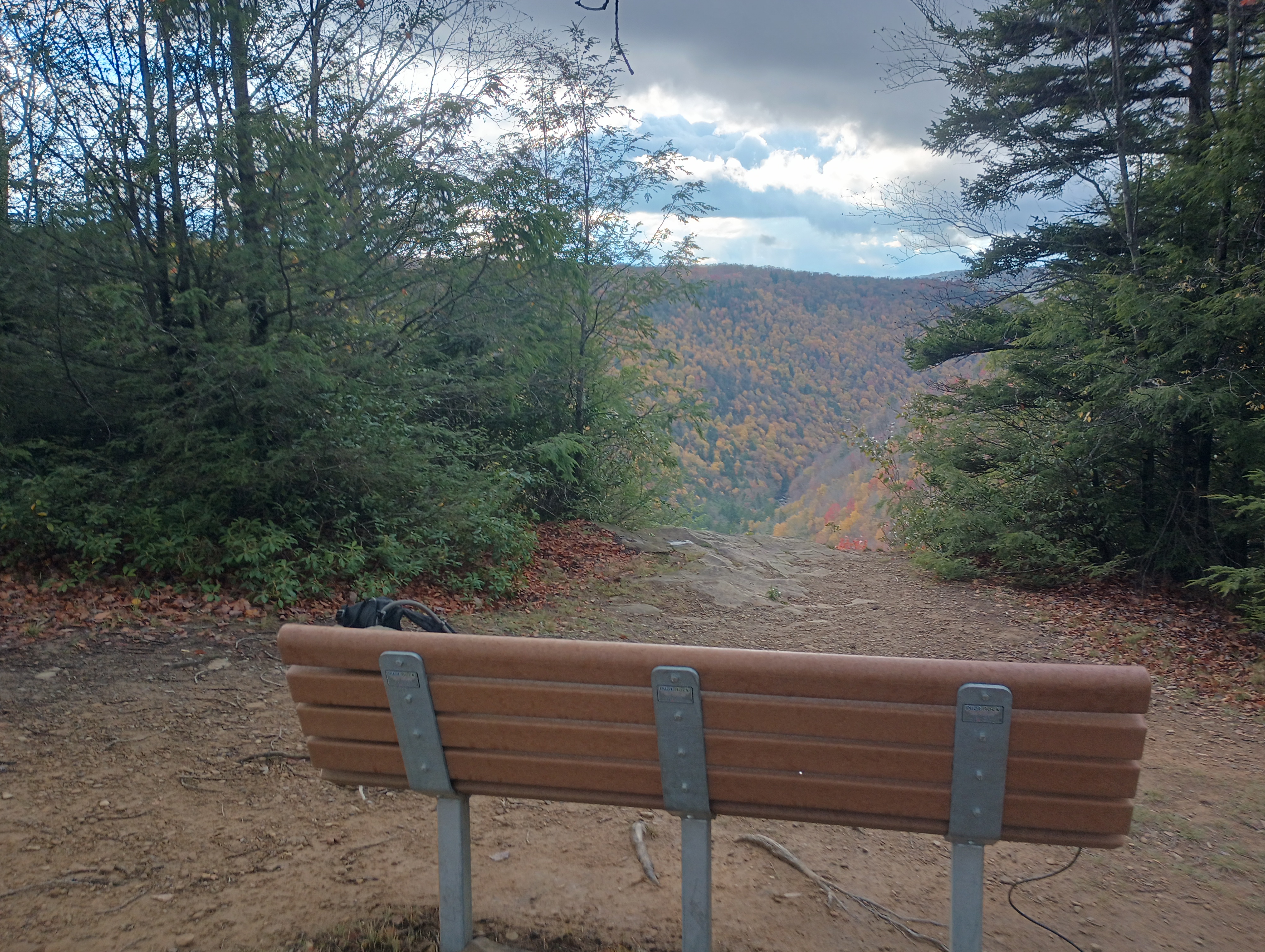
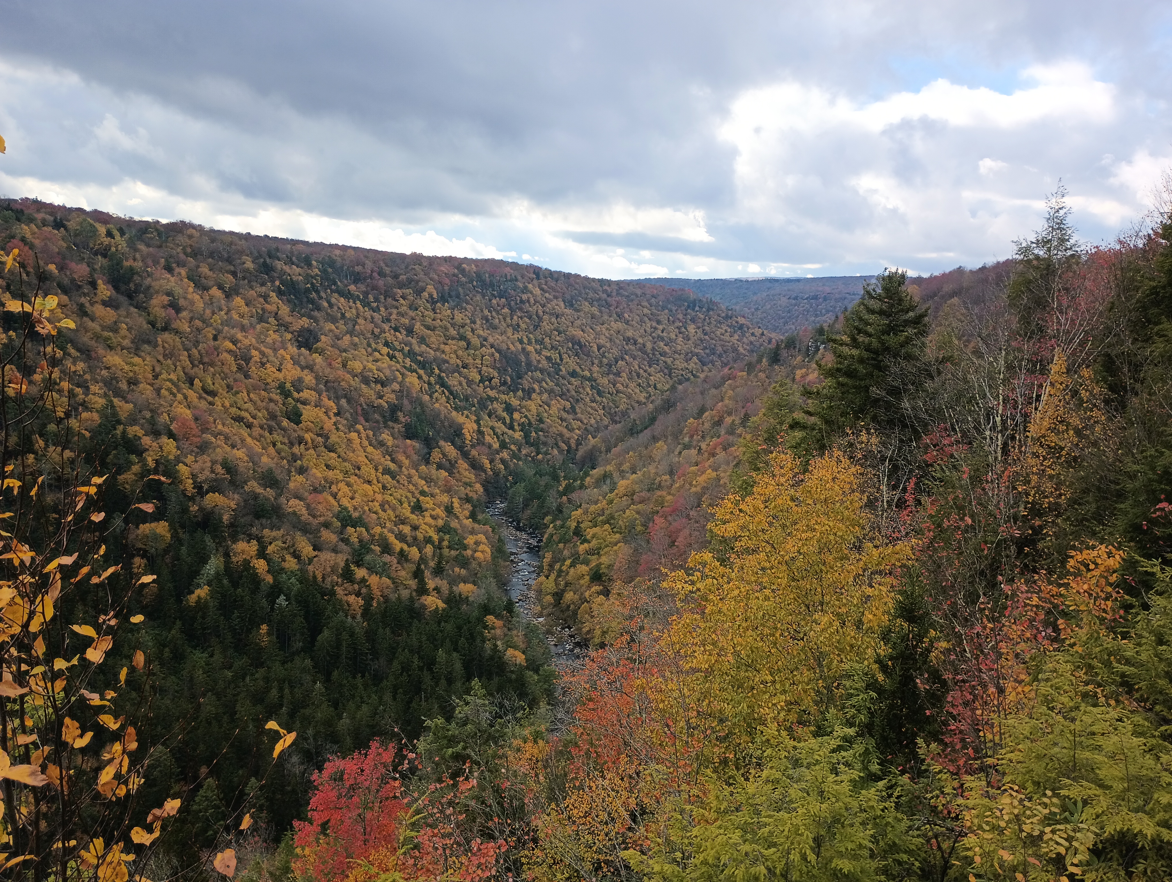
Backbone Mountain is just 10 miles from Blackwater Falls State Park, so I added a POTA activation later that afternoon after the afternoon rain had cleared. I found a bench at the Pendleton Point Overlook to operate from and took in the glorious sights!

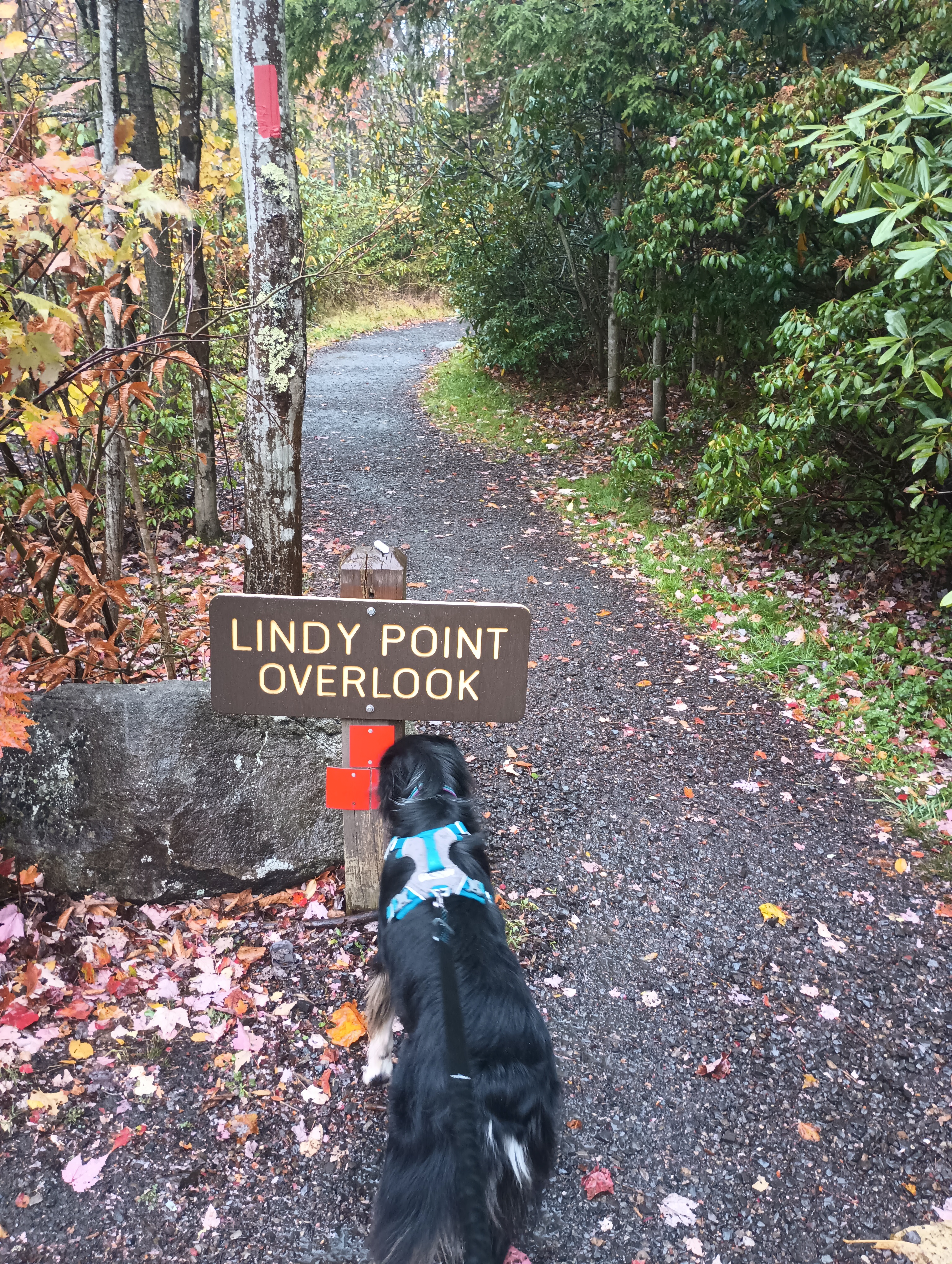
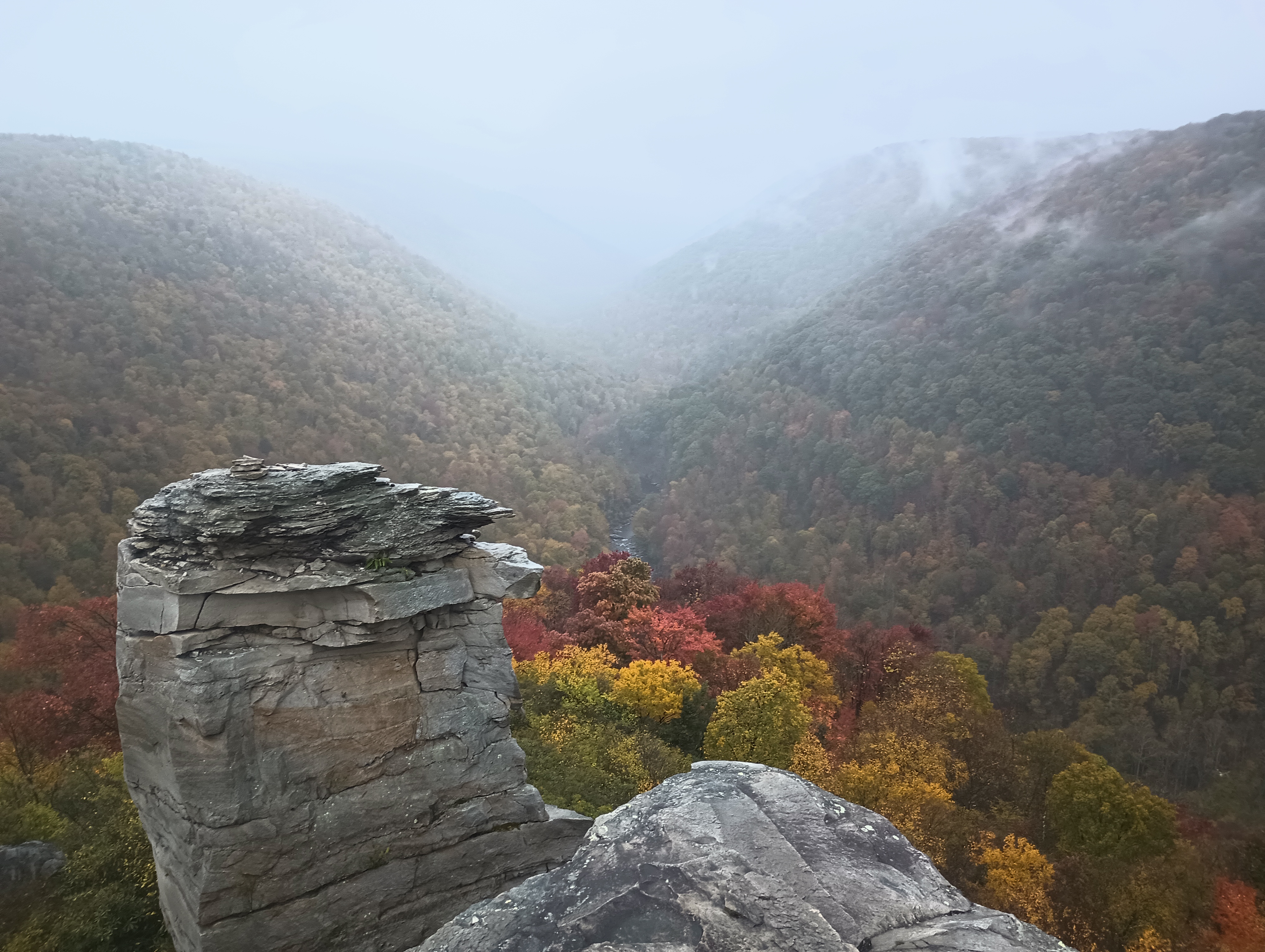
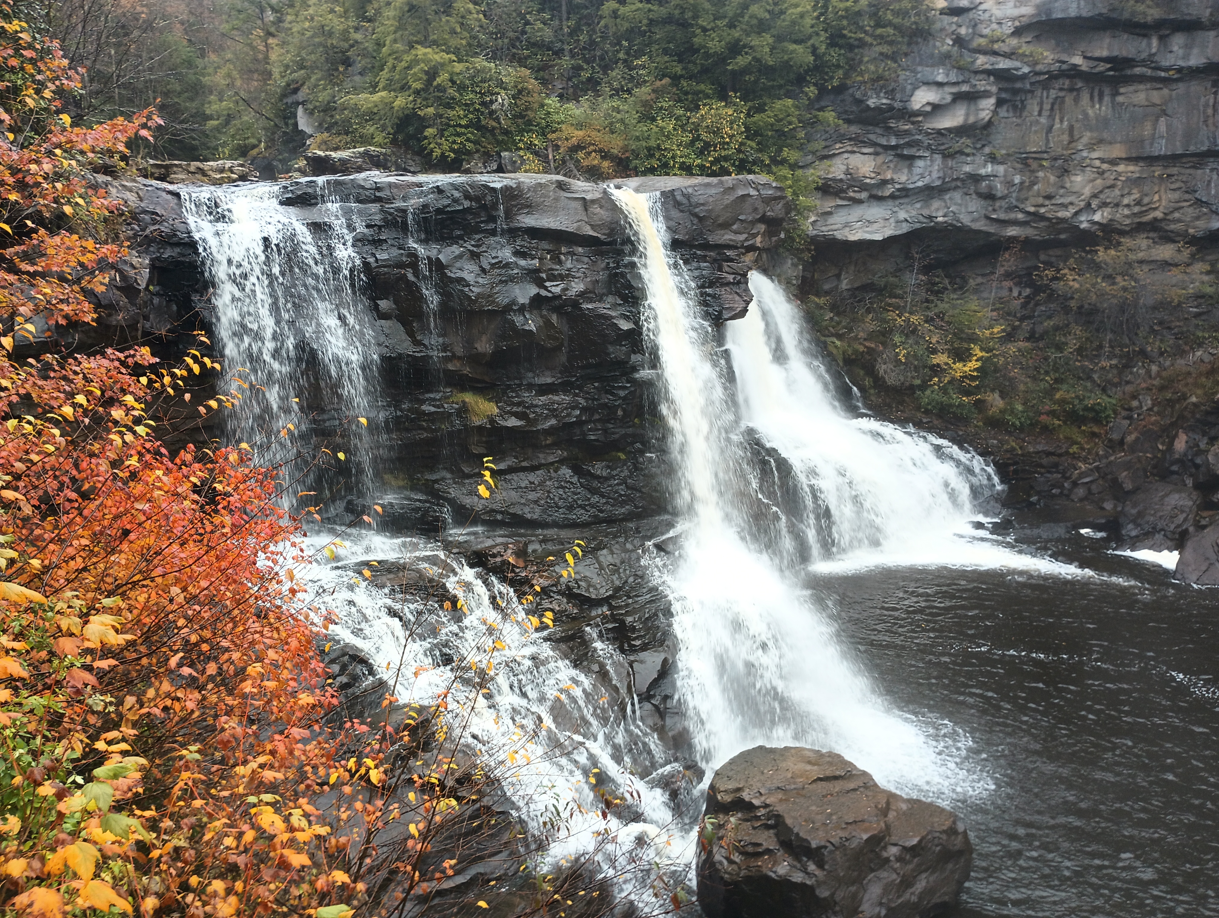
Other good spots in the park were Lindy Point Overlook and Gentle Trail to Blackwater Falls. Rhododendrons are everywhere, and it must be really amazing to be there when they’re blooming.

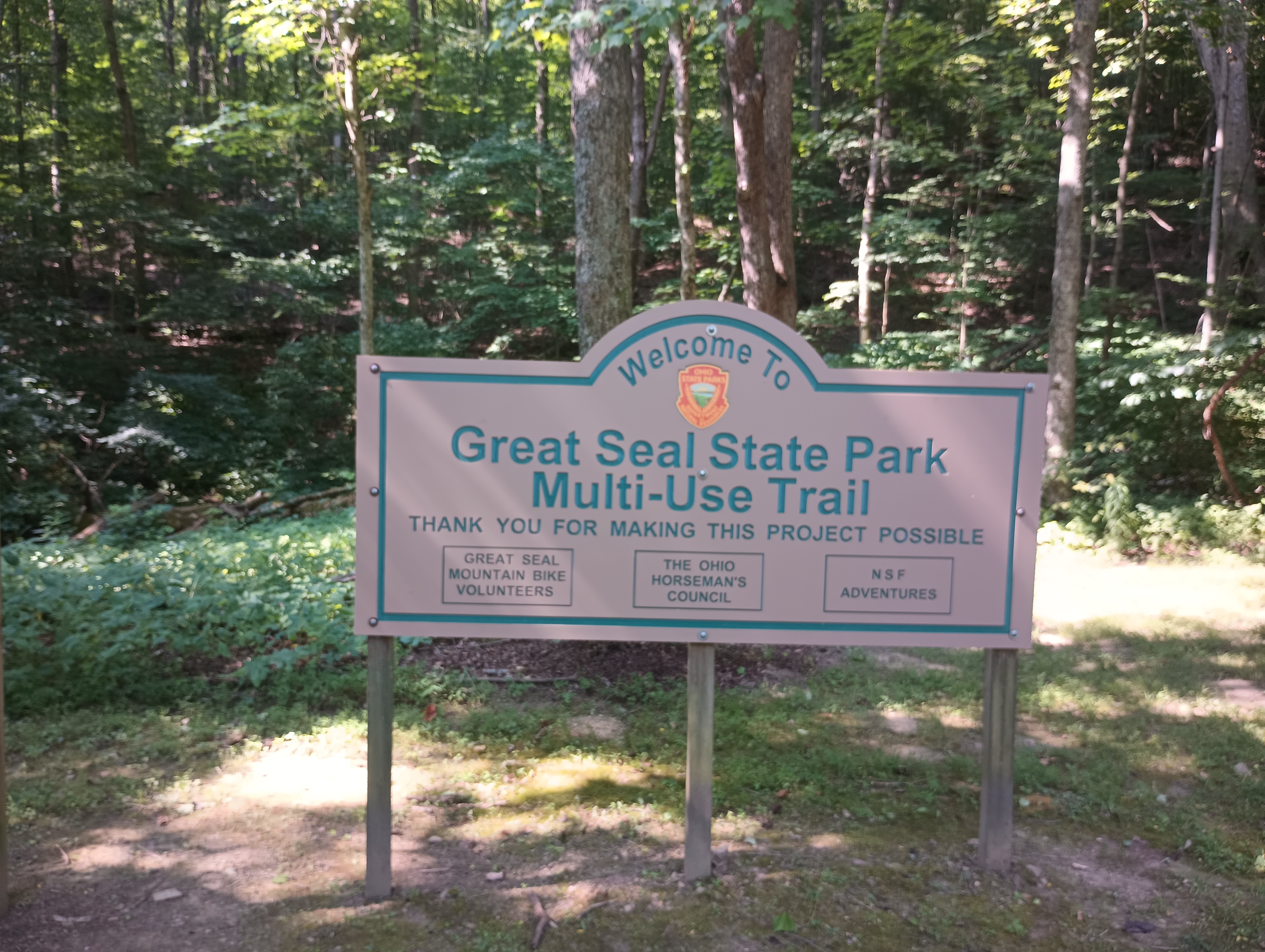
Two Hills in Great Seal State Park

On a drive to Cincinnati for a family visit in July, I picked out a detour around Chillicothe to take on a couple SOTA summits: W8O/SE-009 Bunker Hill and W8O/SE-005 Rocky Knob. I had just worked Chris N8PEM on his activation of Bunker Hill a few days before this trip, and his reports for the area were invaluable for planning.

Bunker Hill is within the Great Seal (of Ohio) State Park and Rocky Knob is just outside its bounds. I thought this was an odd name for a park, but it turns out that Chillicothe is the city depicted in the Great Seal of Ohio, as it was the state’s first capital city.

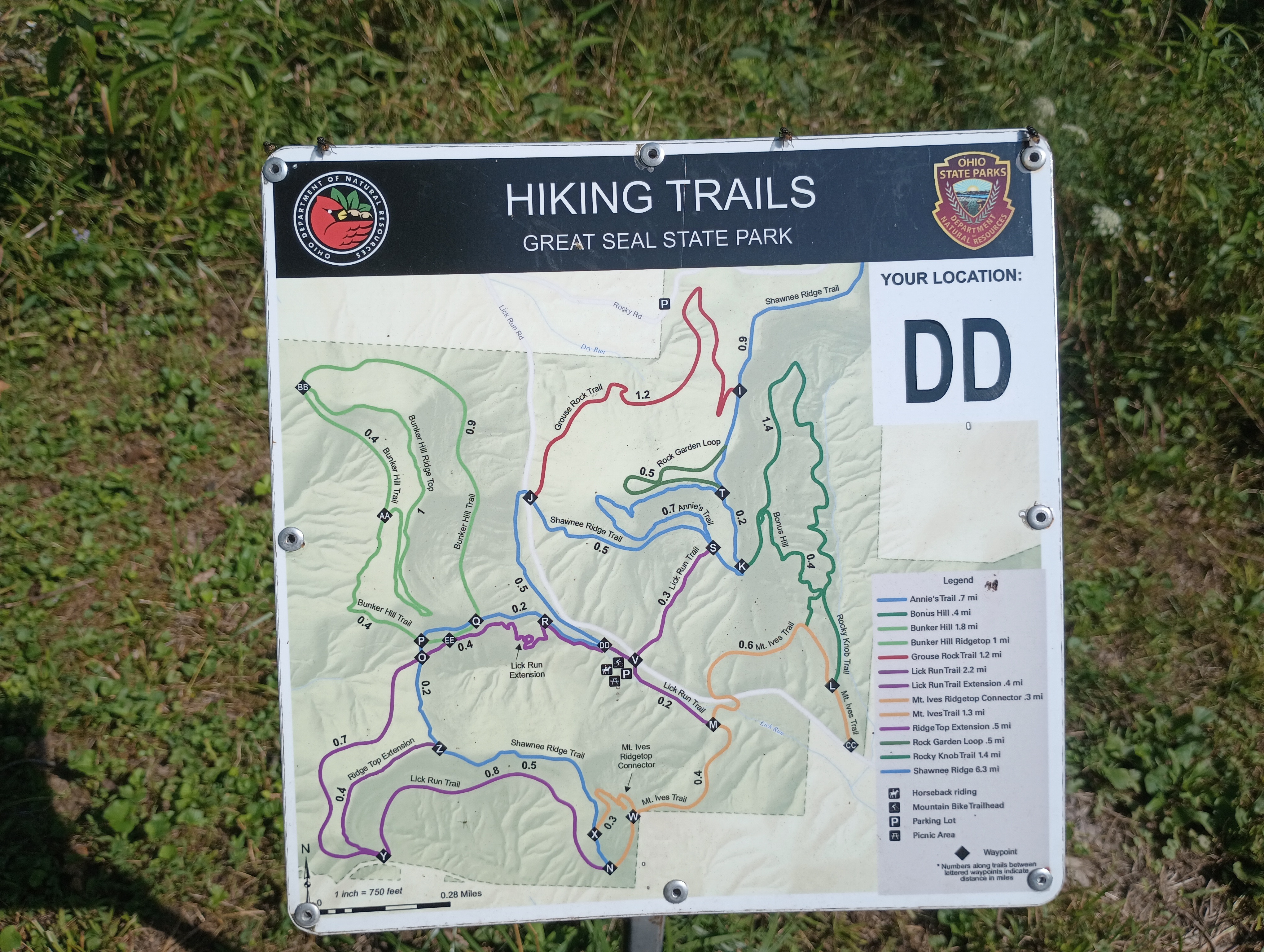
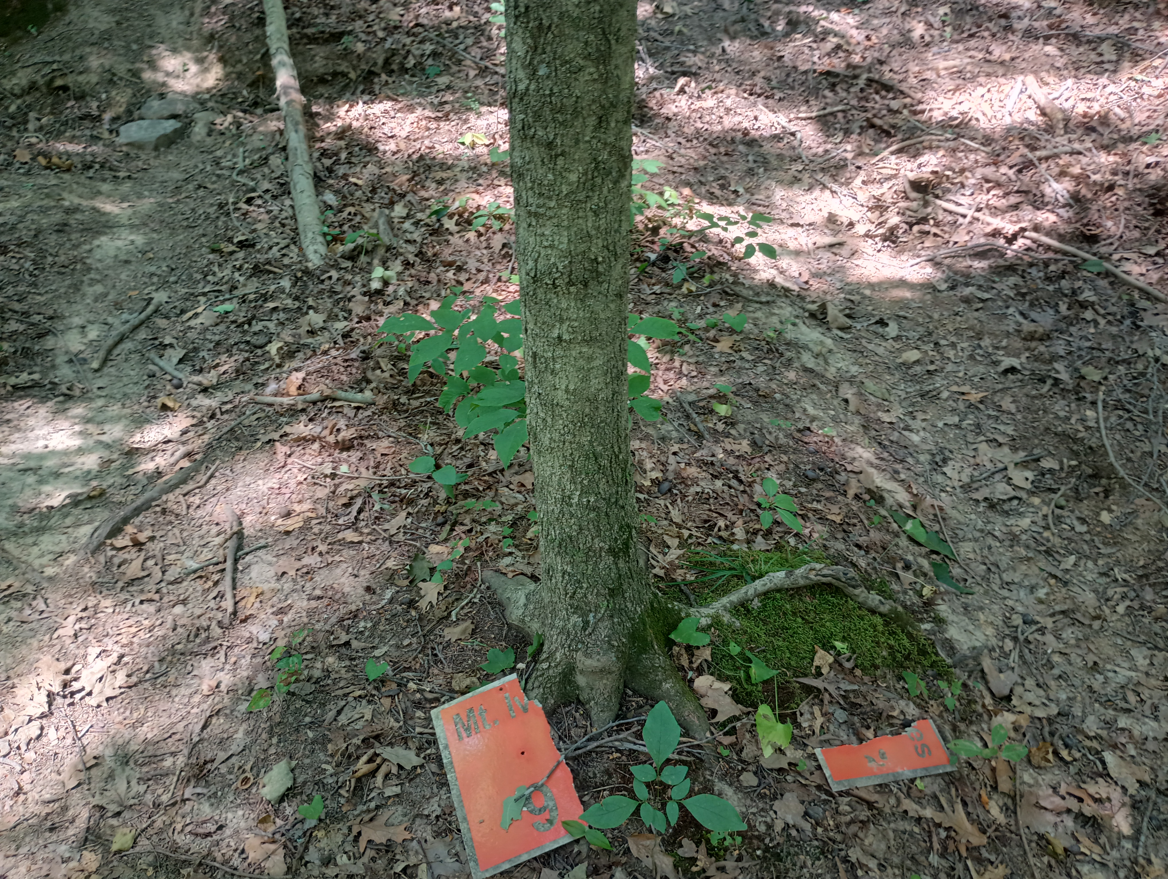
I parked at the mountain biking trailhead off of Lick Run Road. The Mt. Ives trail starts from this point, which fans out into a network of trails throughout the park. First up was Bunker Hill.

W8O/SE-009 Bunker Hill

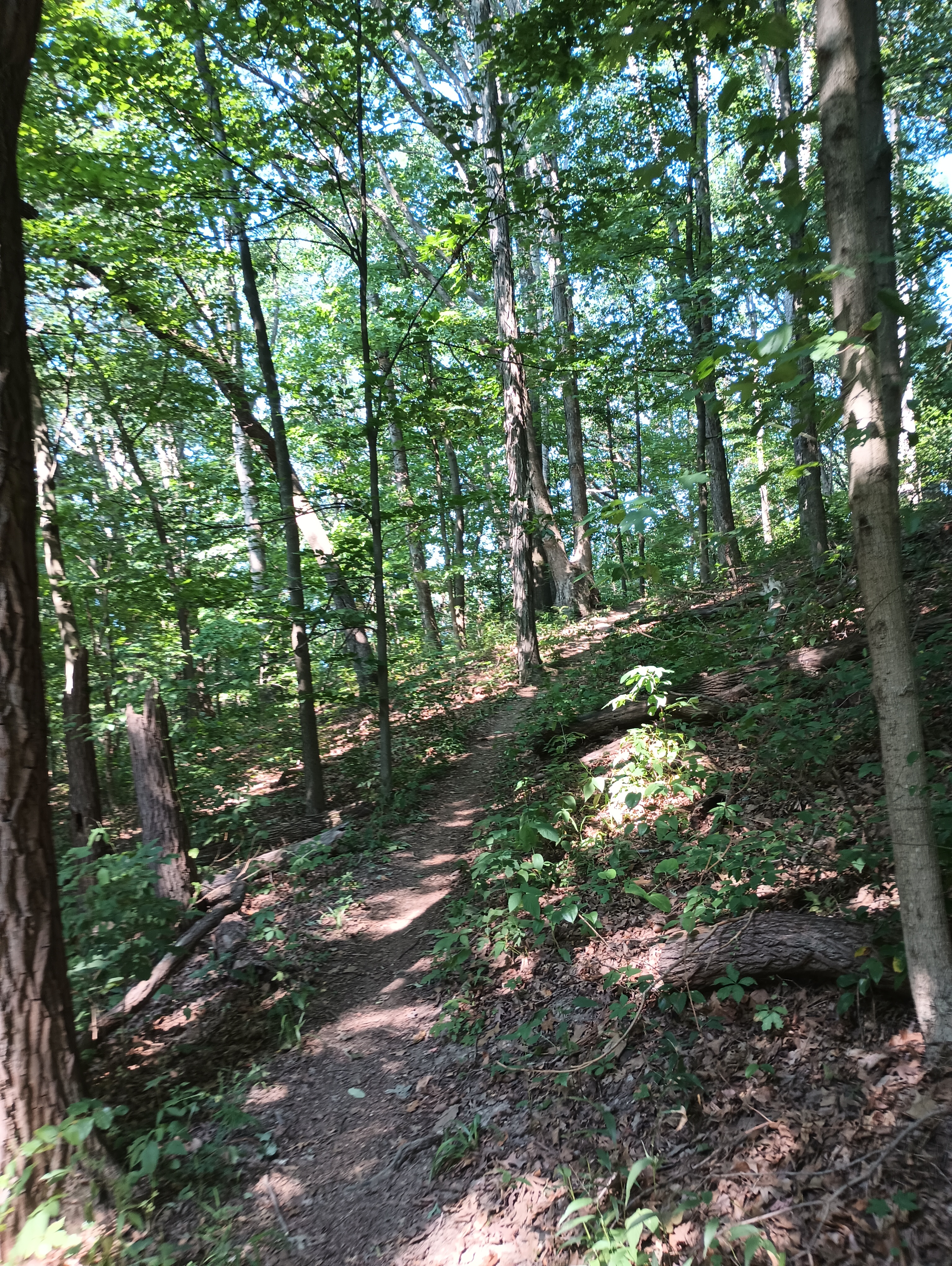
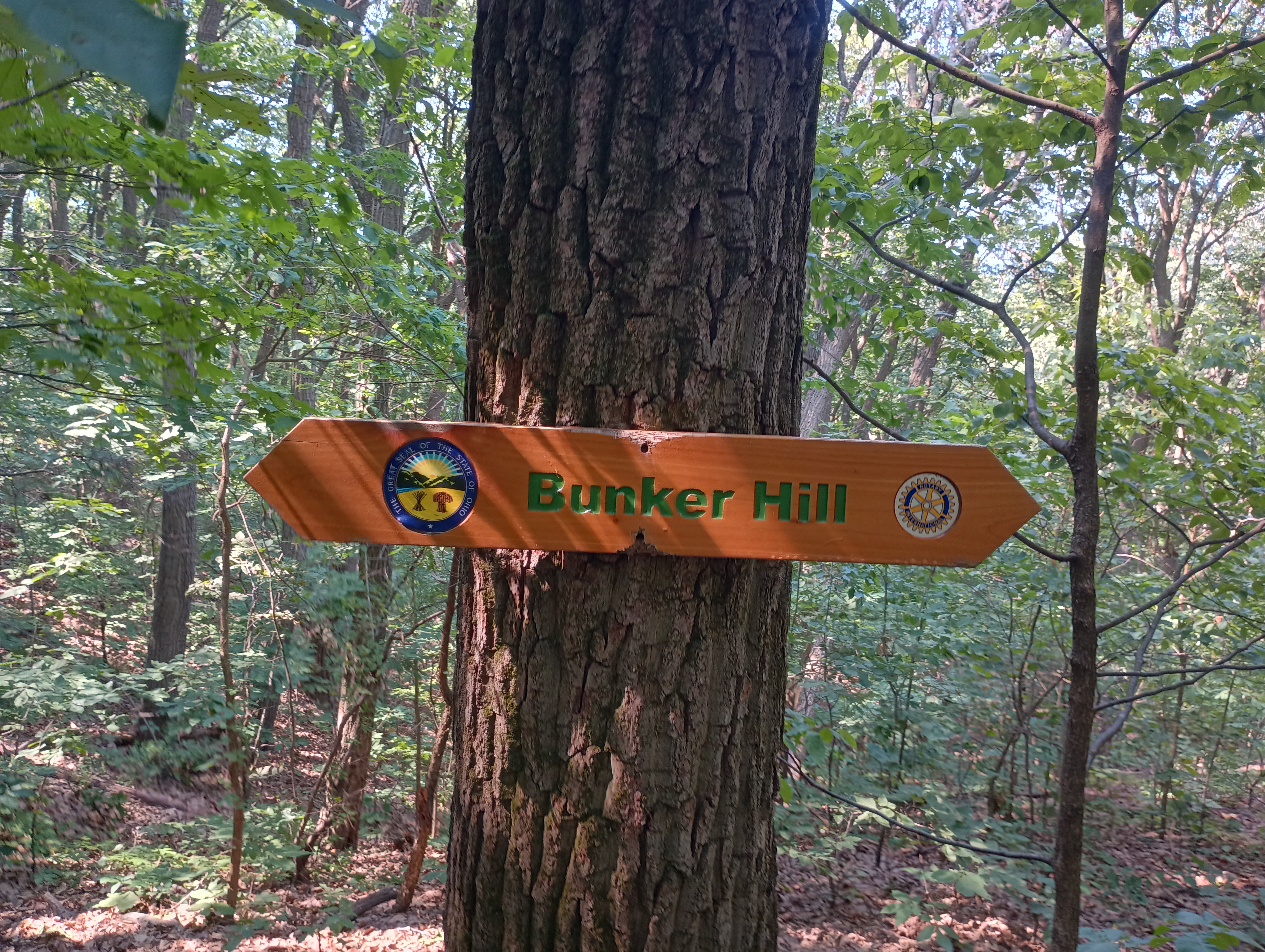
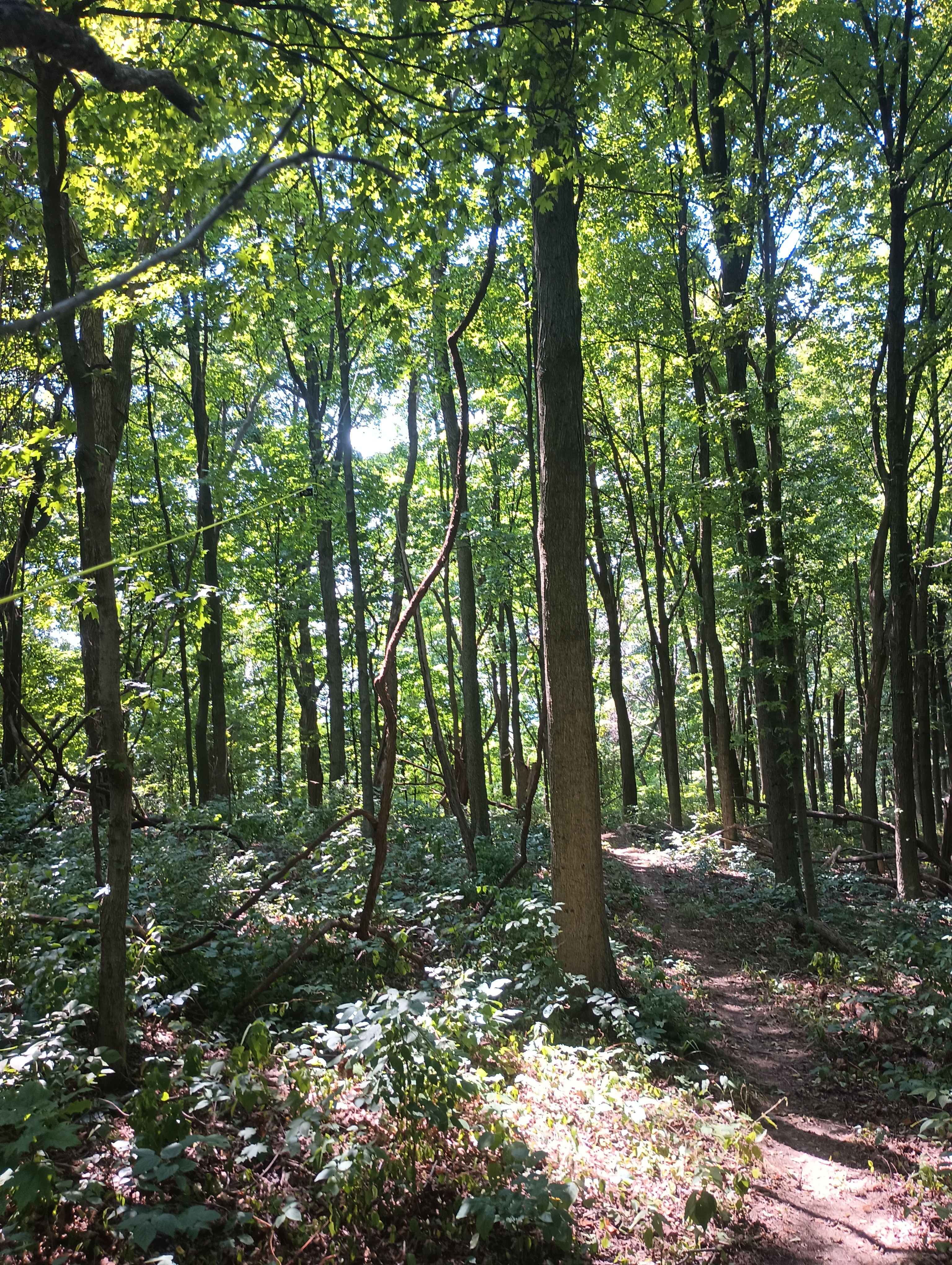
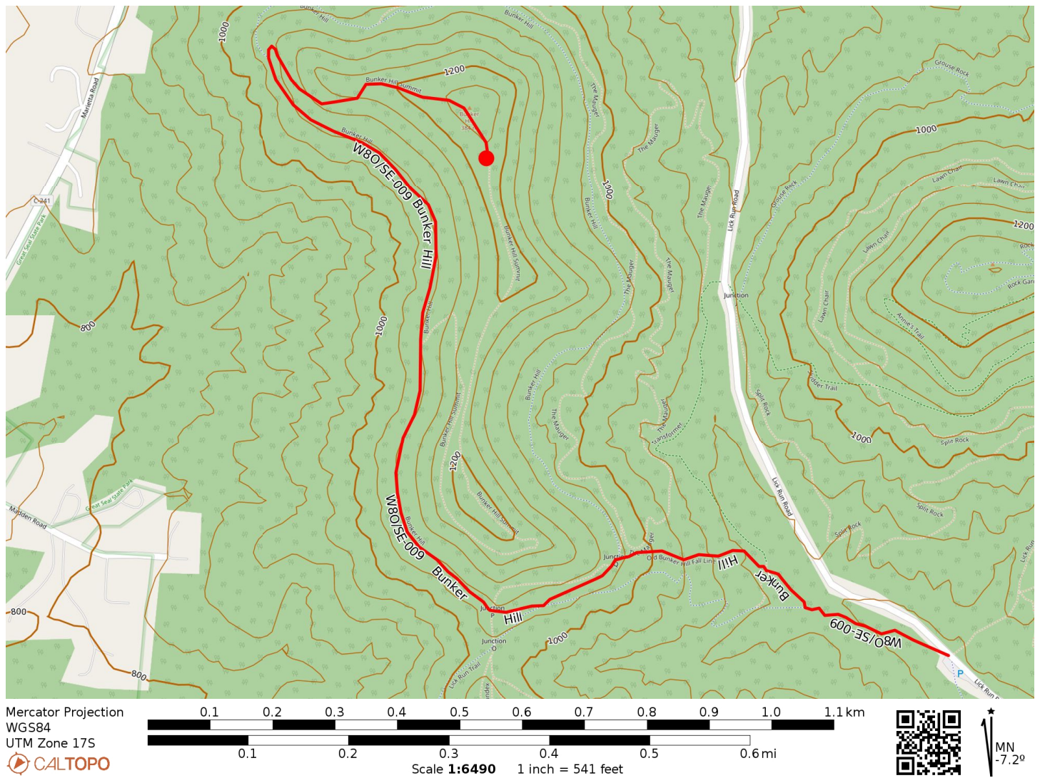
I followed the Mt. Ives Trail, then the Shawnee Ridge Trail, to the Bunker Hill Trail which snakes its way up the hill. The trails and junctions are well-marked. I did pass by a few mountain bikers on the way up. All told, it was 1.5 miles one way with nearly 500 feet of elevation gain. The majority of the hike was flat as the Bunker Hill trail mostly follows one contour around the hill until the last push to the top.

The activation zone at the top is large, so I hiked a bit further past the true summit where there was more room to set up. I used my trusty throw line to get the end fed up. Since this was a POTA site, I quickly got the required contacts, putting 17 in the log in about 25 minutes. Since the next hike was a bushwhack, I wanted to give myself plenty of time, so I decided that was good enough.

  • Trailhead: 39.36710, -82.93829 : Mountain Bike Trailhead on Lick Run Rd
  • Maps: [AA3TZ SOTA] [Great Seal State Park Map]
  • Route: 3.0 mi out-and-back, Bunker Hill Trail
  • POTA: Great Seal State Park (US-1954)

W8O/SE-005 Rocky Knob

Back at the car, it was time for hike number two. Rocky Knob, as of this writing (Feb 2025 – this report has been on the back burner for a while 😬) has only been activated 9 times to Bunker Hill’s 41. This is because Rocky Knob is a bushwhack. While a tract of Great Seal State Park connects nearly the entire way to the hilltop, the least strenuous way does pass momentarily across a well-trimmed lawn (private property) that is not within the park.

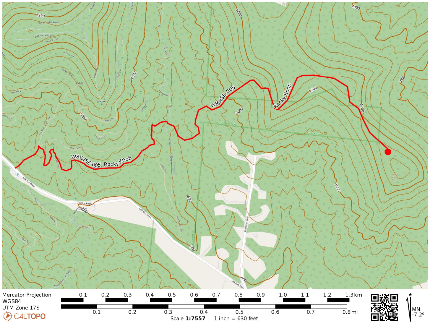
I started on the Lick Run Trail and after a tenth of a mile, followed a Connector trail to Lower Cellar Trail, working my way to the east end of the park. Once I had crossed the Cellar Trail proper, it was time to start the bushwhack.

Lick Run Trail
Around here is where I went off-trail.

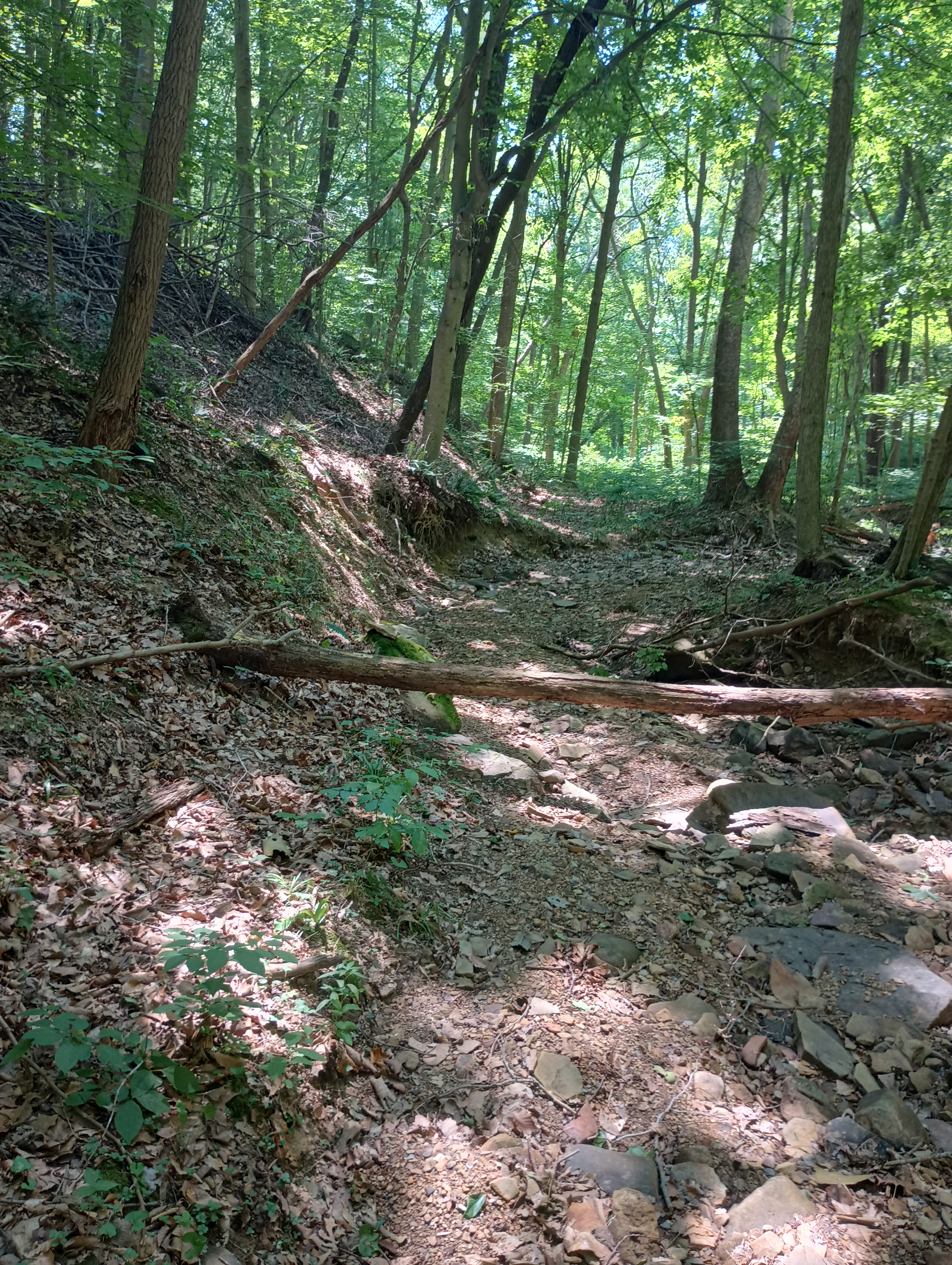
I tried to follow this dried creek up the hill. It was somewhat rough going and the ground was softer. I kept consulting my GPS to try to stay in the park boundaries, which includes a narrow (tenth of a mile wide) panhandle to the east. The clearing just north of the park is an open, flat field that seems to be part of somebody’s property, so I did not linger.

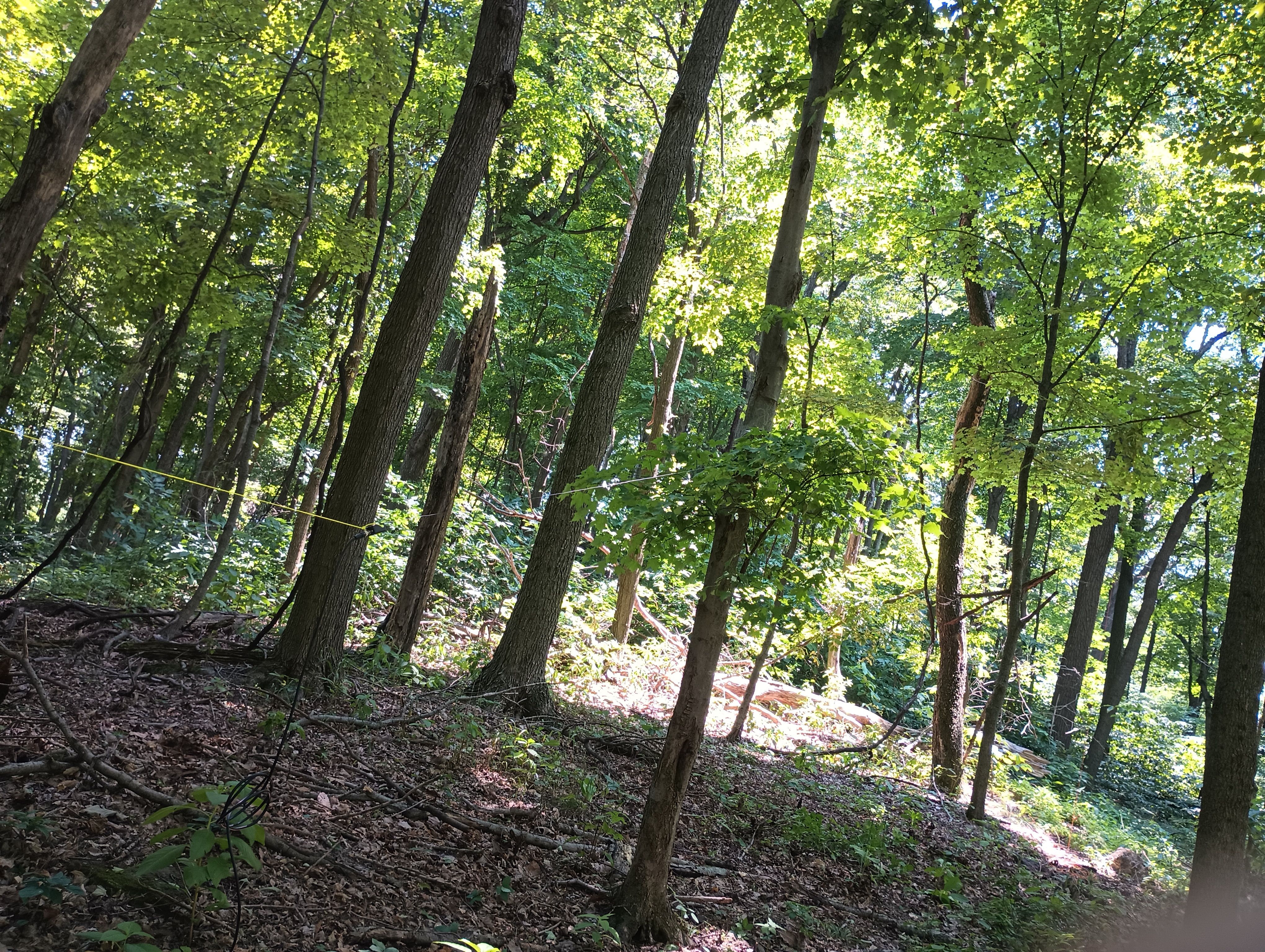
Following the ridge got me back into the park for the final approach to Rocky Knob. There is a small wooded area surrounding some rocky protrusions at the top. There were signs of a recent campfire, with a small rock pit and firewood around. There were many trees to choose from to get a wire up into and a handful of rocks to sit on.

Even though the edge of the park boundary might overlap with the activation zone, I decided to operate closer to the peak south of the park boundary to be safe. I did a bit of S2S chasing here, logging a few prolific SOTA and high-profile activators. George KX0R on Radial Mountain (W0C/PR-091), Al N1SMB on Lily Mountain (W0C/FR-050), and Ara N6ARA on Kratka Ridge (W6/CT-014). 14 QSOs when I wrapped up. It was an uneventful hike back, but I did find a tick in my pants when I made it to Cincinnati a couple hours later. Thankfully, it hadn’t bitten.

  • Trailhead: 39.36710, -82.93829 : Mountain Bike Trailhead on Lick Run Rd
  • Maps: [AA3TZ SOTA] [Great Seal State Park Map]
  • Route: 3.4 mi out-and-back, about half on trails, half bushwhack
  • POTA: Very close to Great Seal State Park (US-1954), activation zone might overlap a small portion of the park.

W3/PT-001 Mt Davis

I had some time to drive up to Mt Davis on July 3 to see Pennsylvania’s high point at 3213 feet. This is the most activated SOTA peak in the W3 area, with my activation making it 125 to date. The summit is surrounded by the Mt Davis State Conservation Area (US-0625) which is also part of the Forbes State Forest (US-5468), making this a double-POTA activation.

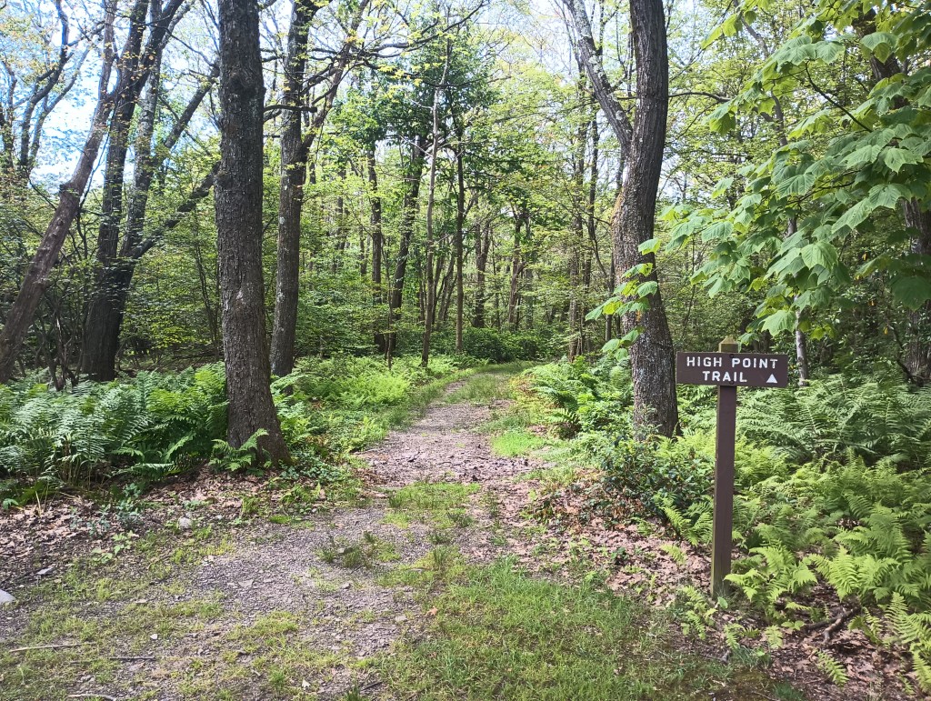
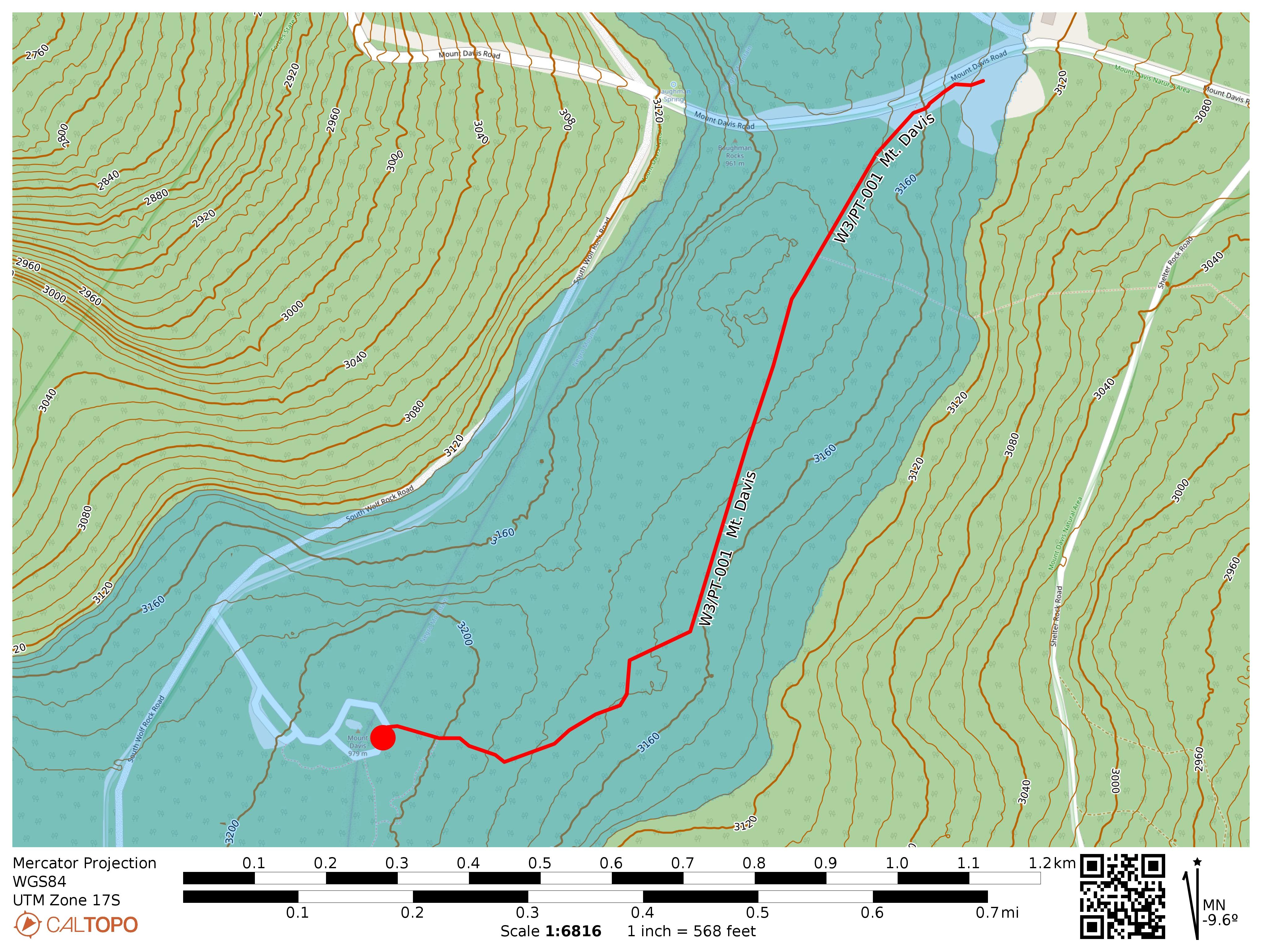
While it’s possible to drive to within 300 feet of the peak, I opted to park at the High Point Picnic Area for a mile-long hike to the observation tower along the High Point Trail. This mostly-flat trail is part of a greater ~5 mile loop that tours this chunk of Forbes State Forest. I might try that loop next time.

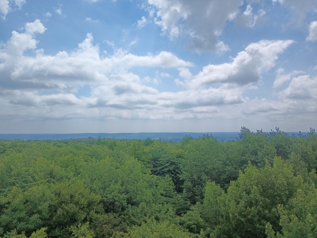
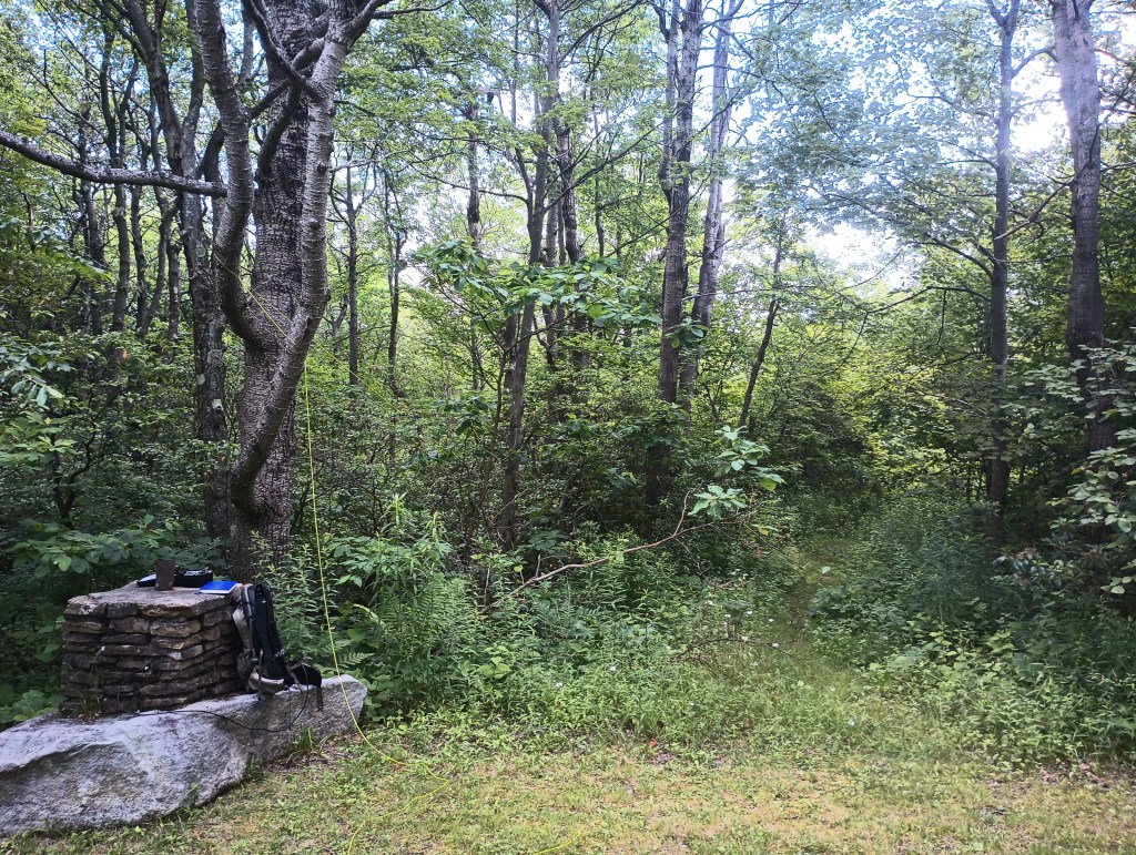
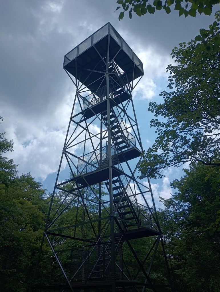
I took the stairs up the observation tower and had a look around. Despite being the high point, Mt Davis is not particularly prominent, so the observation platform lets you see other ridges around the area. Once I was satisfied, set up near the paved loop by a stone pillar that was once a signpost. A disused trail spur entered the forest for about 40 feet or so, which was a perfect place to string up the end-fed. An easy way to earn 10 SOTA points!

  • Trailhead: 39.79417, -79.16653 : Northwest end of the Mt Davis Picnic Area.
  • Maps: [AA3TZ SOTA] [Mount Davis Area Map]
  • Route: 2.0 mi round trip, following the High Point Trail
  • POTA: Mt Davis State Conservation Area (US-0625); Forbes State Forest (US-5468)

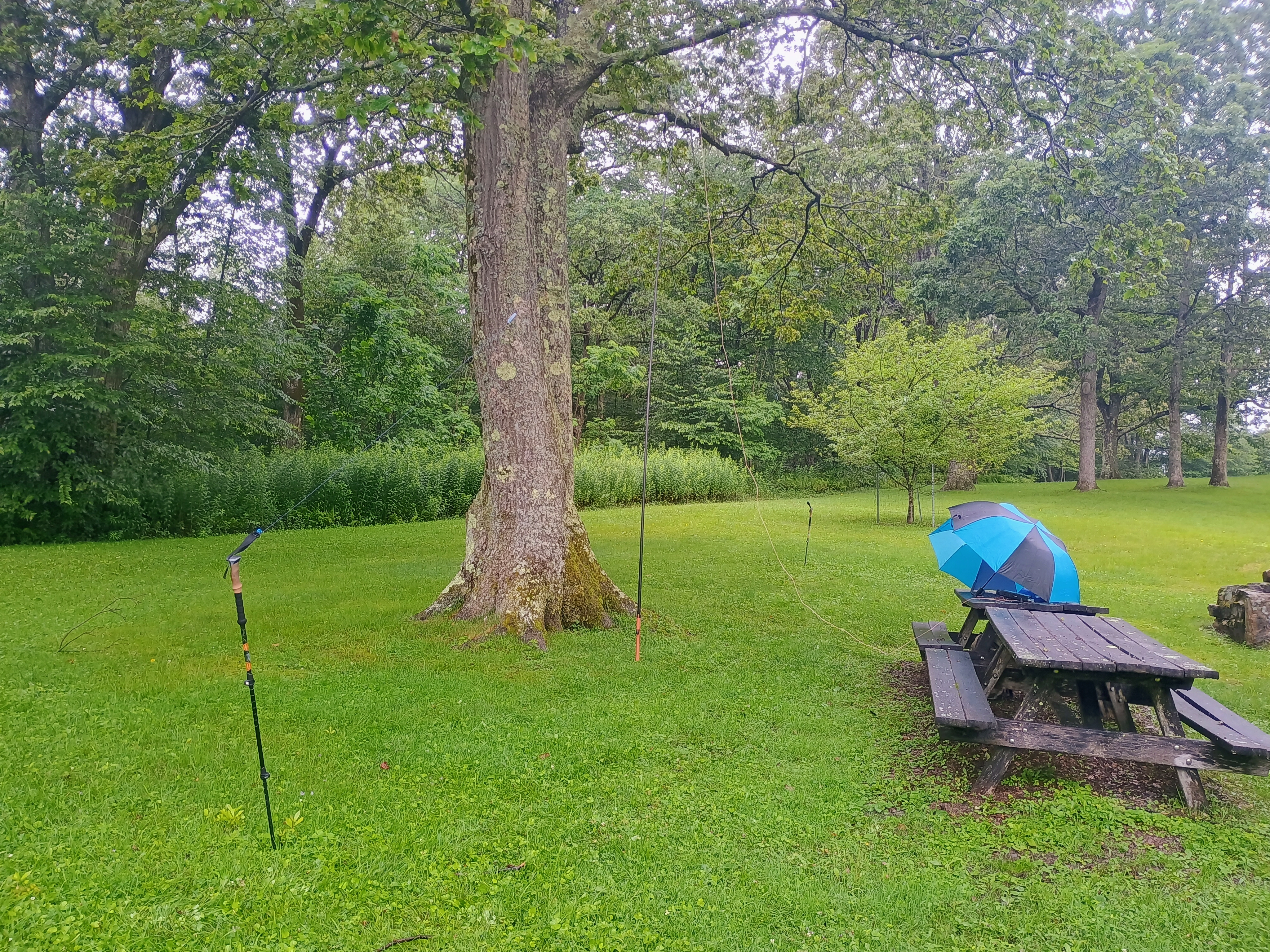
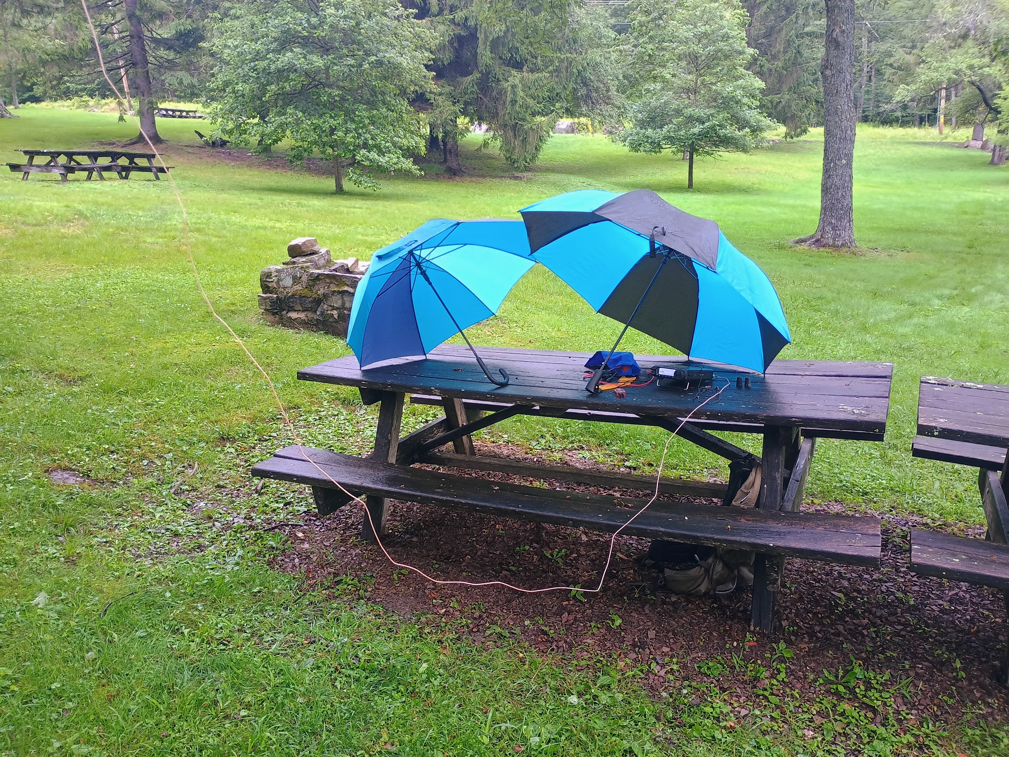
Update 18 July 2025: This is a broad activation zone, as is typical for PA. The westernmost couple of benches in the Mt Davis Picnic Area are within the AZ! You can do this one POTA-style. I added this activation after completing Boardman Ridge, using the easy location as an opportunity to try my FT891 in the field; QRO for the first time!

The QSOs came in fast, but the rain came faster. I had to pause in the middle to wait for a break in the rain, then racked up a few more before the rain picked up again and forced me to pack up. 32 QSOs total, pieced together from two short runs punctuated by precipitation.

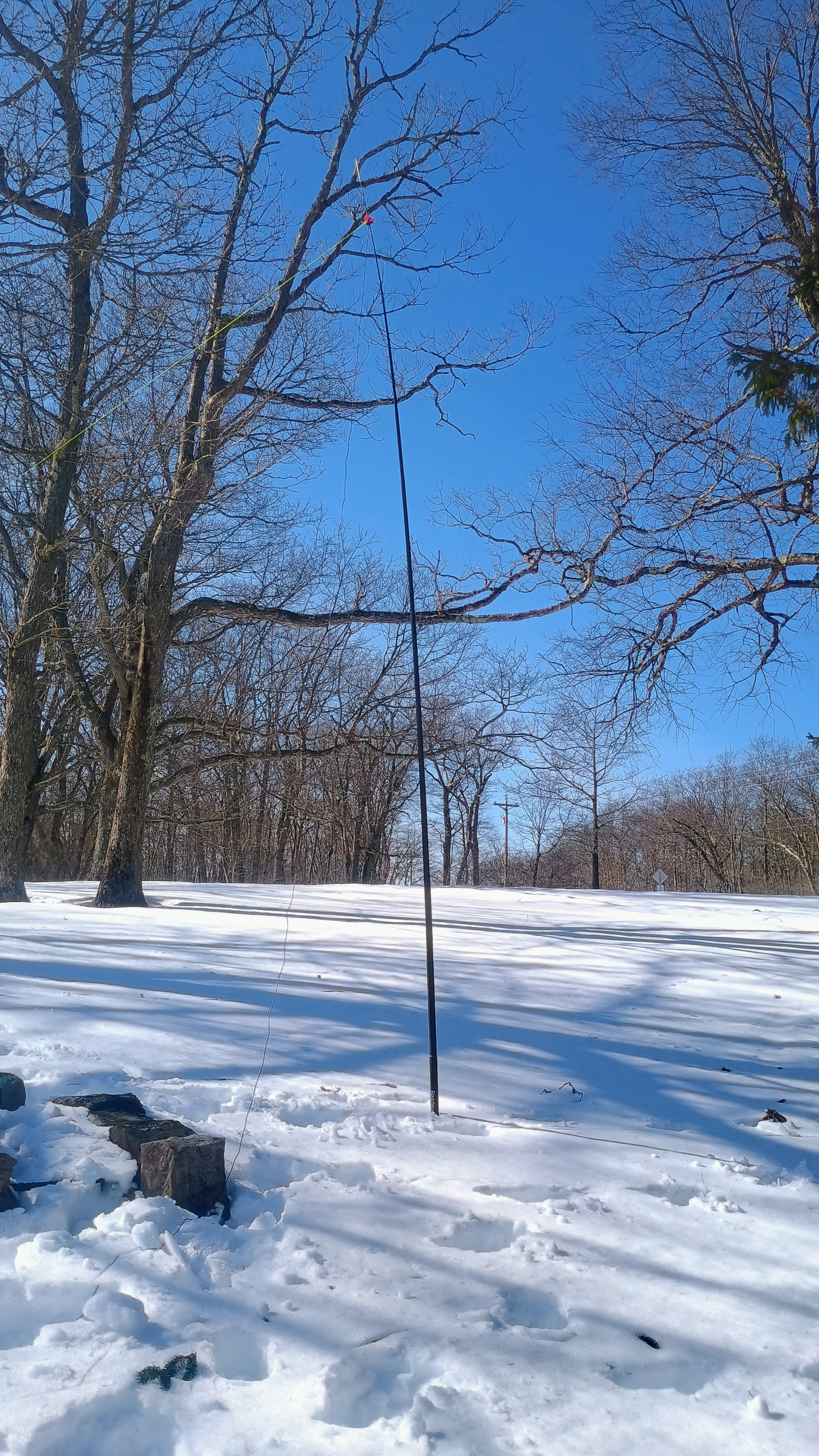
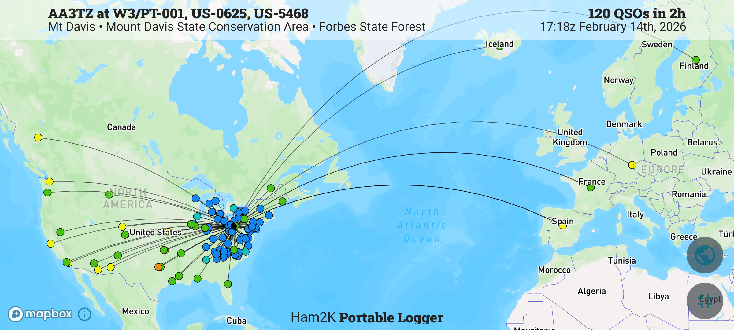
Update 14 Feb 2026: The Mt Davis picnic area makes for a great spot to do a winter activation. Deep snow engulfing the tables, but little wind. A couple of snowshoers visiting from Maryland passed by to ask about my setup. This time, I was using the Sotabeams 20-30-40 linked dipole and FT891 for QRO fun, logging 120 QSOs! Fun DX included Finland OH1MM and Iceland TF3DC, both on 20m!

W3/PT-007 Bear Cave Lookout

I recently changed my callsign from AI6CU to AA3TZ since I now live in PA, and was working the CQ WPX contest to break in the new callsign. I went on this hike to take a break from the contest and work my first SOTA with the new callsign. It took longer to drive to the trailhead than I expected, since the final approach is very bumpy. Bear Cave is large maze cave formation somewhere west of this 2600 ft peak. It looks like it gets very tight in there (https://www.youtube.com/watch?v=rFYwIoEOKV0).

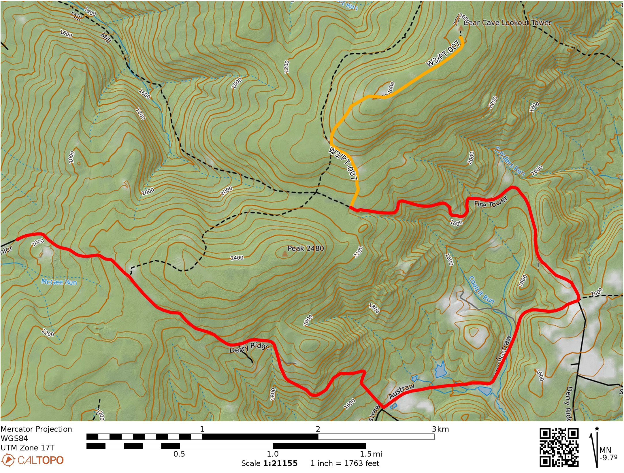
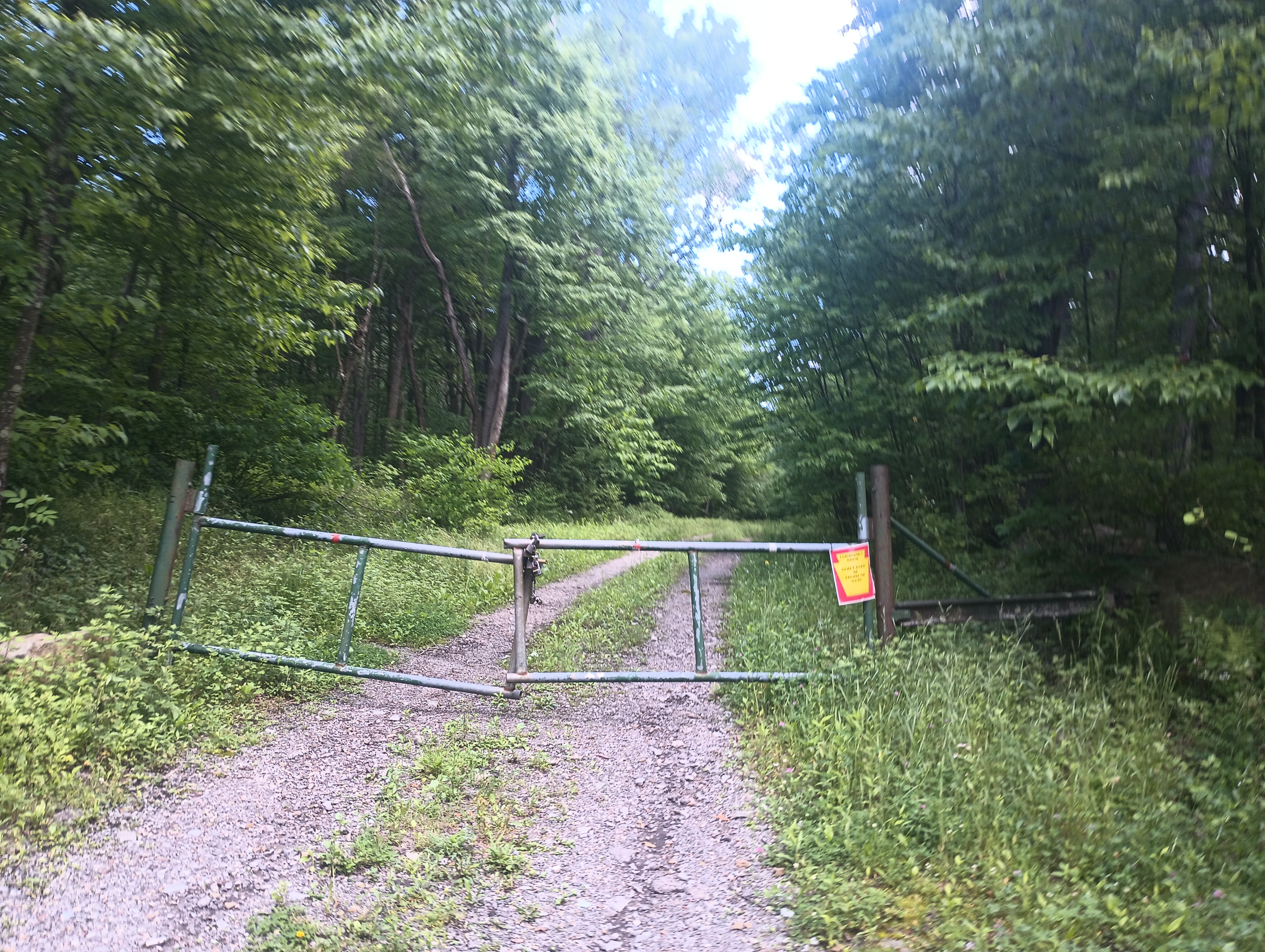
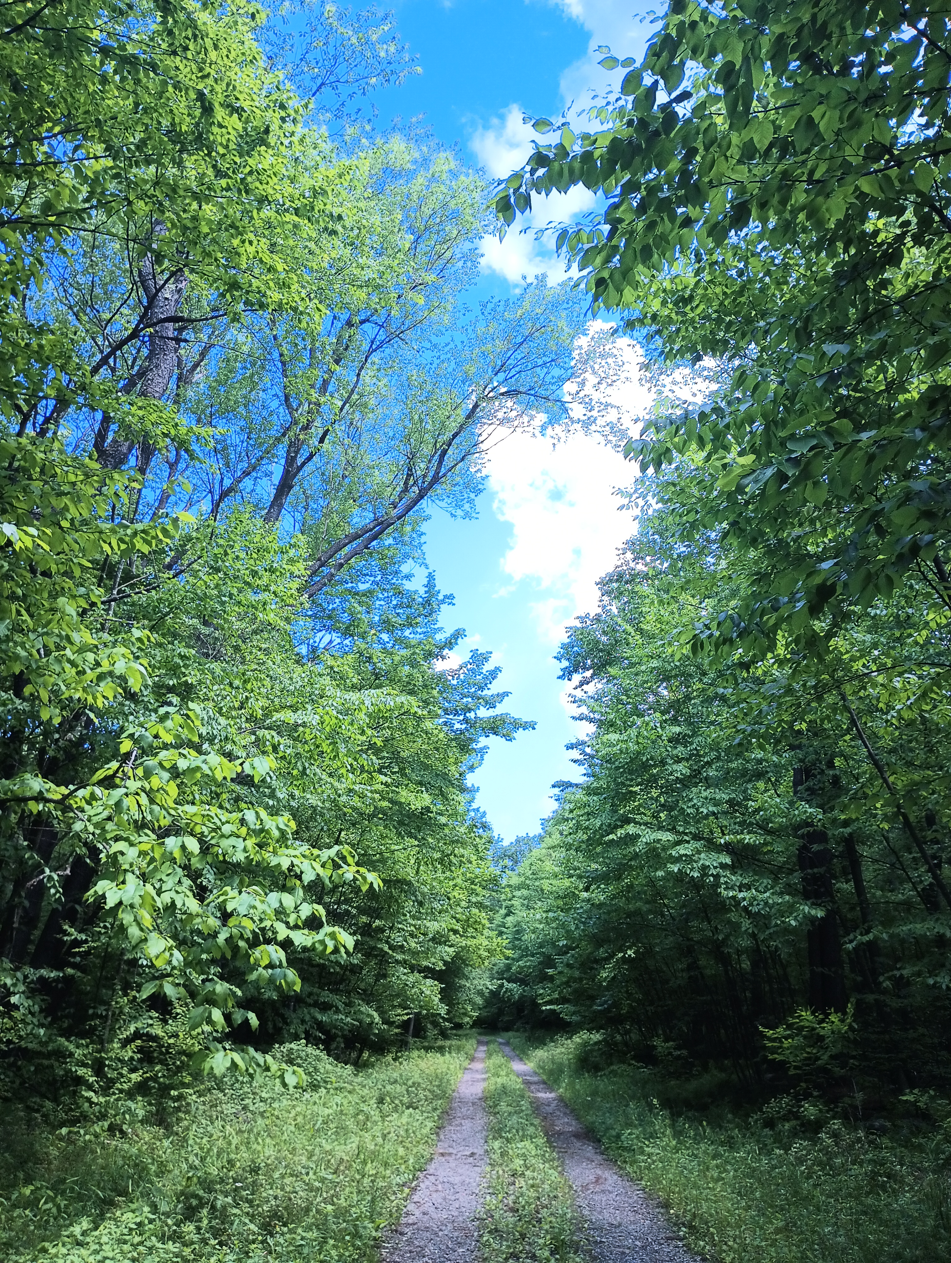
Google will try to take you down a trail that goes northeast from Derry Ridge Rd in Ligonier, but the road does not appear to exist. Continue along Derry Ridge Road, then turn northeast on Austraw Rd towards the intersection of Austraw Rd, Derry Ridge Rd, and Firetower Rd. Here, continue down Firetower Rd, which is a good gravel road for about a half mile, then becomes a bumpier dirt road for the remaining mile (starting around 1700 feet elevation). I had to go slow, but my sedan (Subaru Impreza) made it fine. It would probably not have gone well on a wet day. There is a small dirt parking spot at a locked gate with room for one vehicle. A truck was parked there so I parked a bit down the road where there was another pulloff.

Red marks the car route and Yellow marks the hike. Fire Tower Rd gets kind of rough about a half mile in for a sedan, but it’s fine on a dry day.

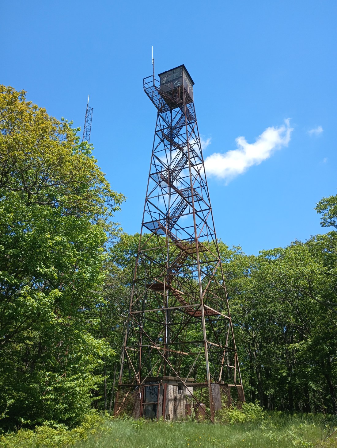
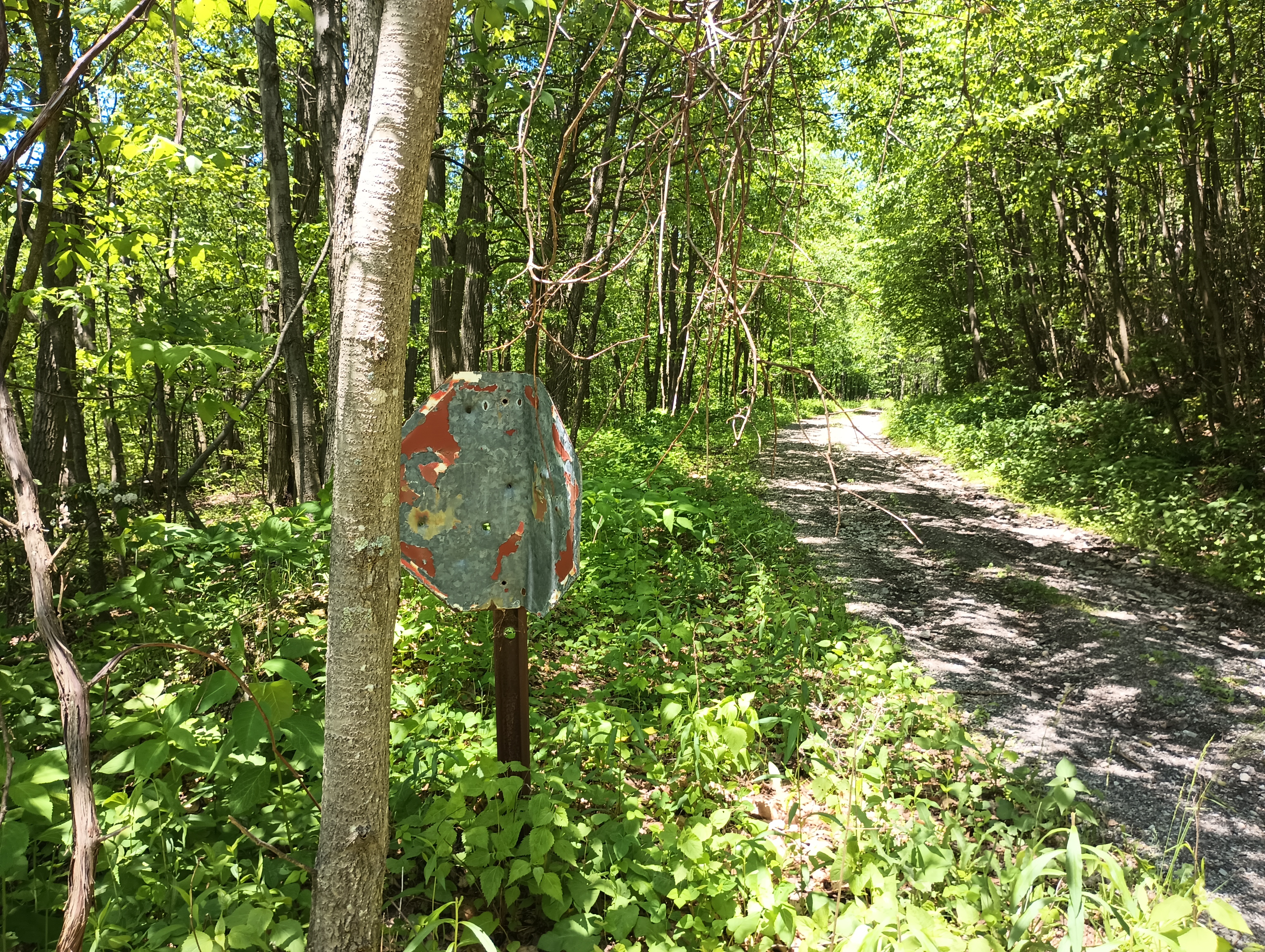
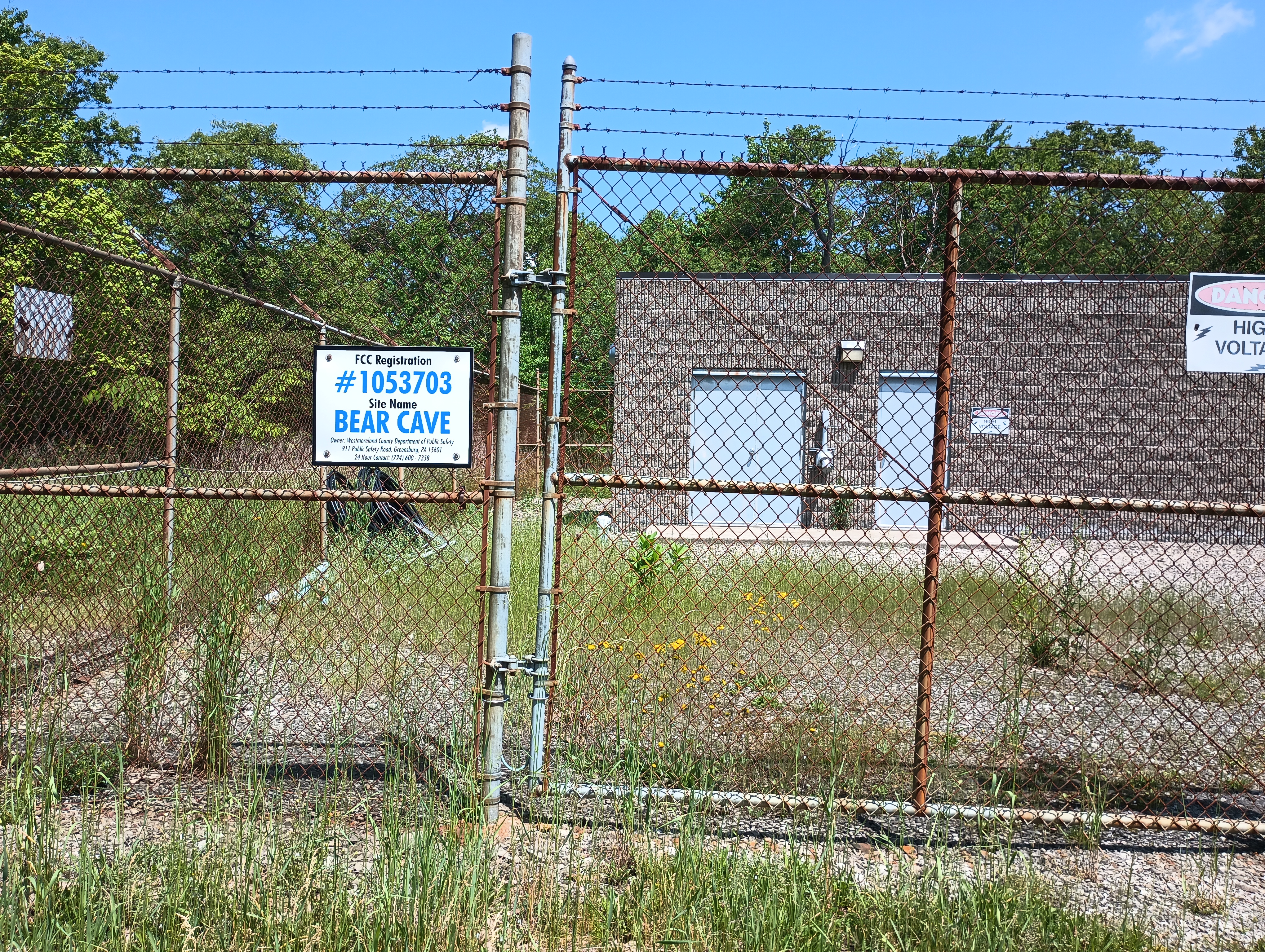
The first half of the 1.5-mile hike is a climb up 400 feet to a long, flat ridge. The rest of the hike follows a road that passes a large number of radio transmitters along this ridge. The road was flooded with 4 inches of water in places during this trip, but it was dry off the road. The observation tower at the peak was locked.

I set up by some rocks near the edge of the forest, but a couple of hikers suggested that I stay away from them as above 1600 ft elevation is where rattlesnakes live. “It would really suck to get bit by a rattlesnake out here,” one added. They were actually there to look for snakes and claimed that they had seen over 20, walking along the sun/shade line! Spooked, I moved into the sunny clearing and kept my eyes peeled. I heard intermittent noise on 40m, presumably from one of the nearby transmitters.

After the hike, I found the snake-fans by their truck, which was the one parked at the gate. They asked me some questions about CB radio, and I got them hyped up about the current peak in the solar cycle. I might come back in the winter, but I will probably just walk along Firetower road for a longer hike rather than drive on the rough road. Also, the snakes will be hibernating.

  • Trailhead: 40.33267, -79.23716 : Approach from Firetower Rd
  • Maps: [AA3TZ SOTA]
  • Route: 3.0 mi round trip, following trail towards and along multiple radio transmitter sites.

East Bay Trails Challenge: Complete!

A nice thing about living in the Bay Area is that there are a bunch of free programs that try to get people out and hiking. Stef and I took on the 2017 East Bay Trails Challenge this year to see some of the regional parks we have not yet visited.

The hikes we did:

  • Feb 11: Kennedy Grove Regional Recreation Area (3.48 mi)
  • Feb 18: Point Pinole Regional Shoreline (4.13 mi)
  • Mar 11: Roberts Regional Recreation Area (1.22 mi)
  • Jun 18: Martin Luther King Jr. Regional Shorelines (3.84 mi)
  • Jun 20: Claremont Canyon Regional Preserve (2.62 mi)

The incentive to do the award was a neat little lapel pin that features the California poppy. We saw a lot of these little orange flowers on our hikes!


Sonoma Trails Challenge: Complete!

Today, Stef and I finished the 2016 Sonoma Regional Parks Trails Challenge by hiking our fifth trail in the Sonoma Regional Parks system. It was a great way to see the parts of Sonoma that one doesn’t go to when wine tasting. 🙂

We started with a camping trip to Stillwater Cove park, which let us hike three different trails along the beautiful Sonoma coast (Stillwater Cove, Bluff Top Trail, and Pinnacle Gulch). Then we did a couple of ham radio summit activations, climbing Hood Mountain and Taylor Mountain. All in all, it was a terrific experience that we hope to repeat next year.
Watch the video to see some of the sights we caught along the way!