W7N/CK-171 4109

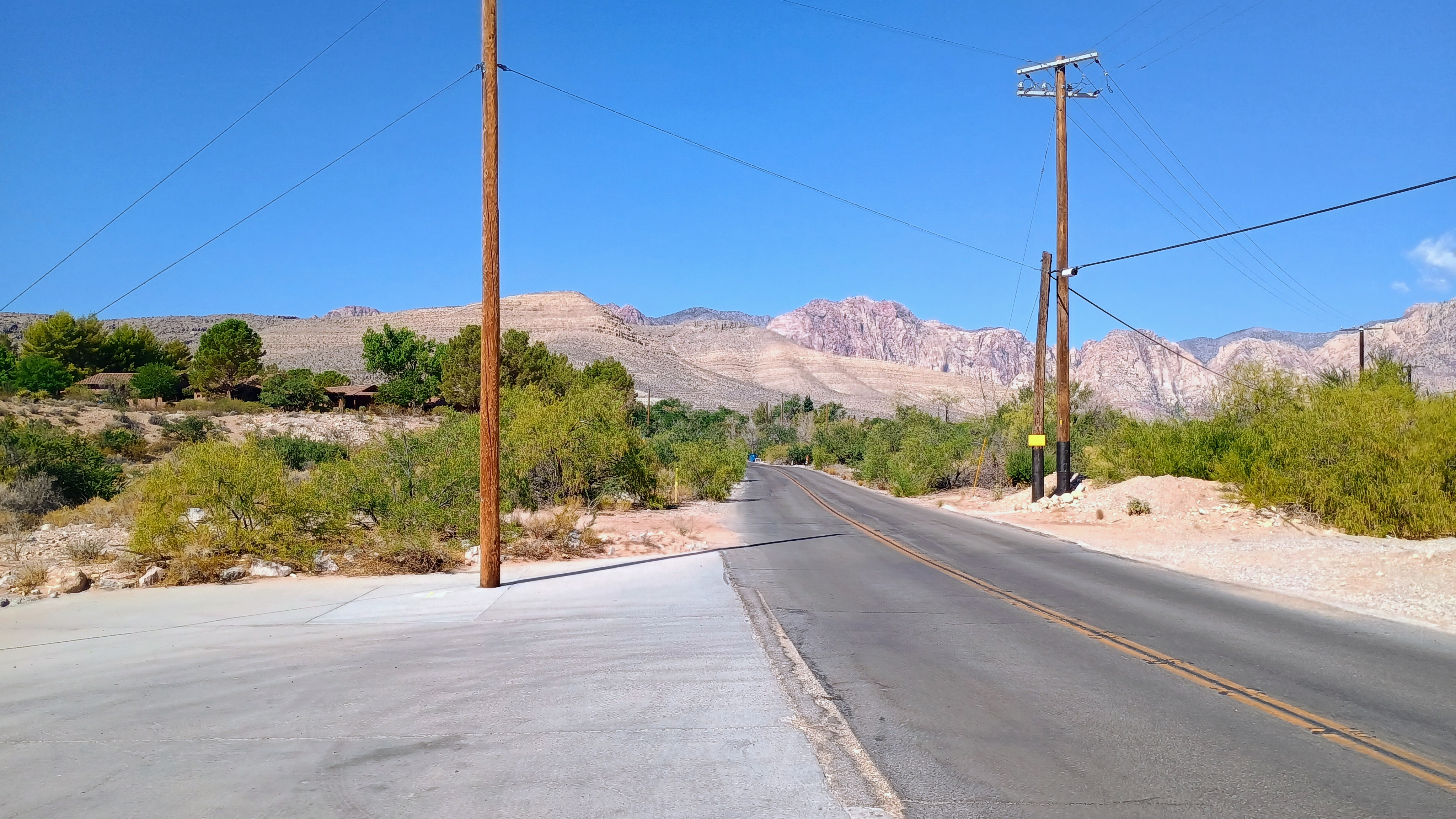
I couldn’t resist bagging a SOTA peak in Nevada on our Vegas trip, and decided to roll the dice on this desert hike. This summit is referred to as Red Rock Canyon Peak 4109 on Peakbagger. Being in Red Rock Canyon National Conservation Area, this counts as a dual POTA/SOTA joint activation. I parked on a concrete pad under a utility pole off the side of Arroyo Road, just outside of the tiny town of Blue Diamond.
Since this was the end of August, this peak came with a +3 summer seasonal bonus. I arrived early enough that the western-facing side of the peak was shaded most of the hike up, but I imagine it could get very hot in the afternoon.

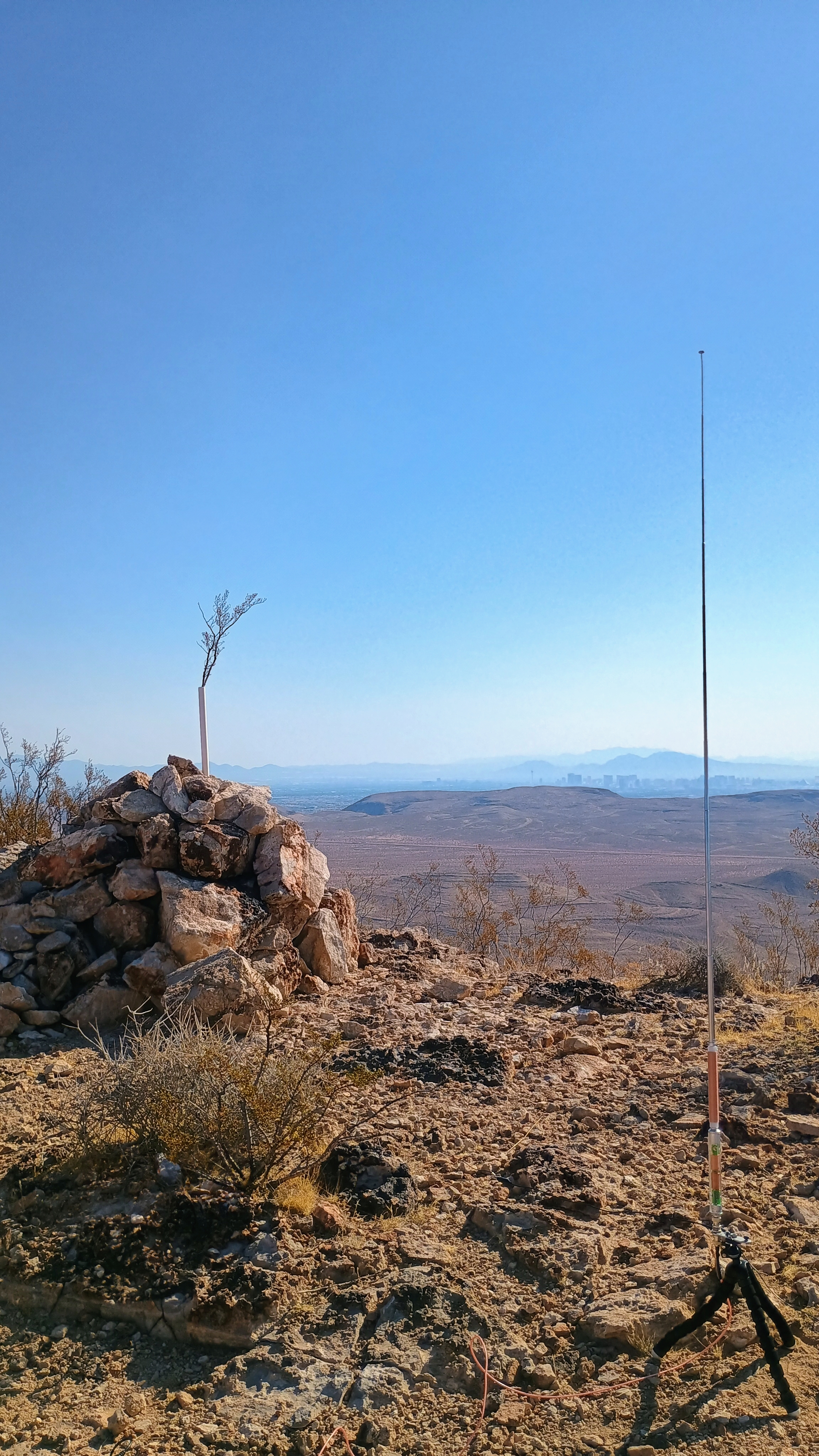
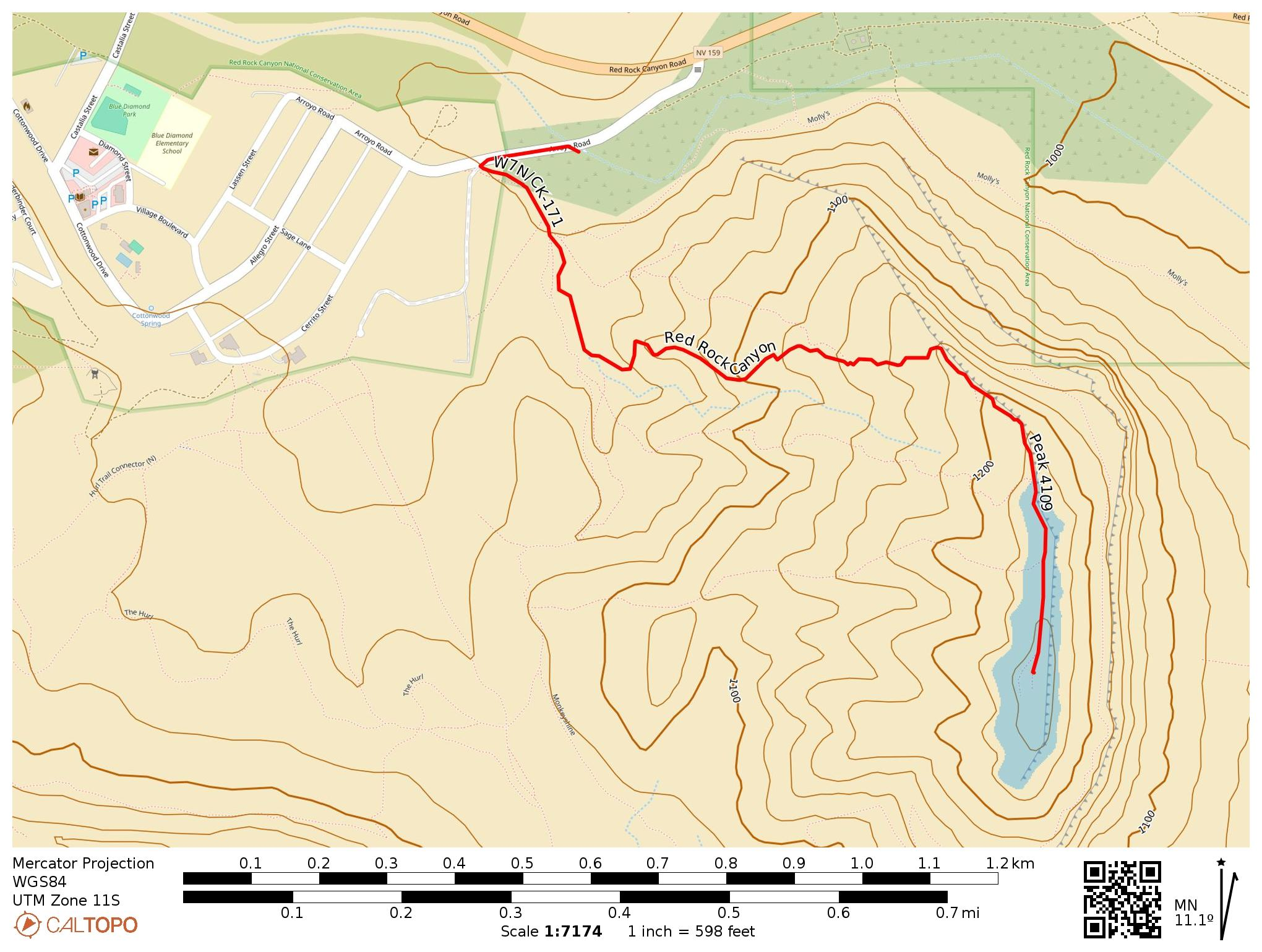
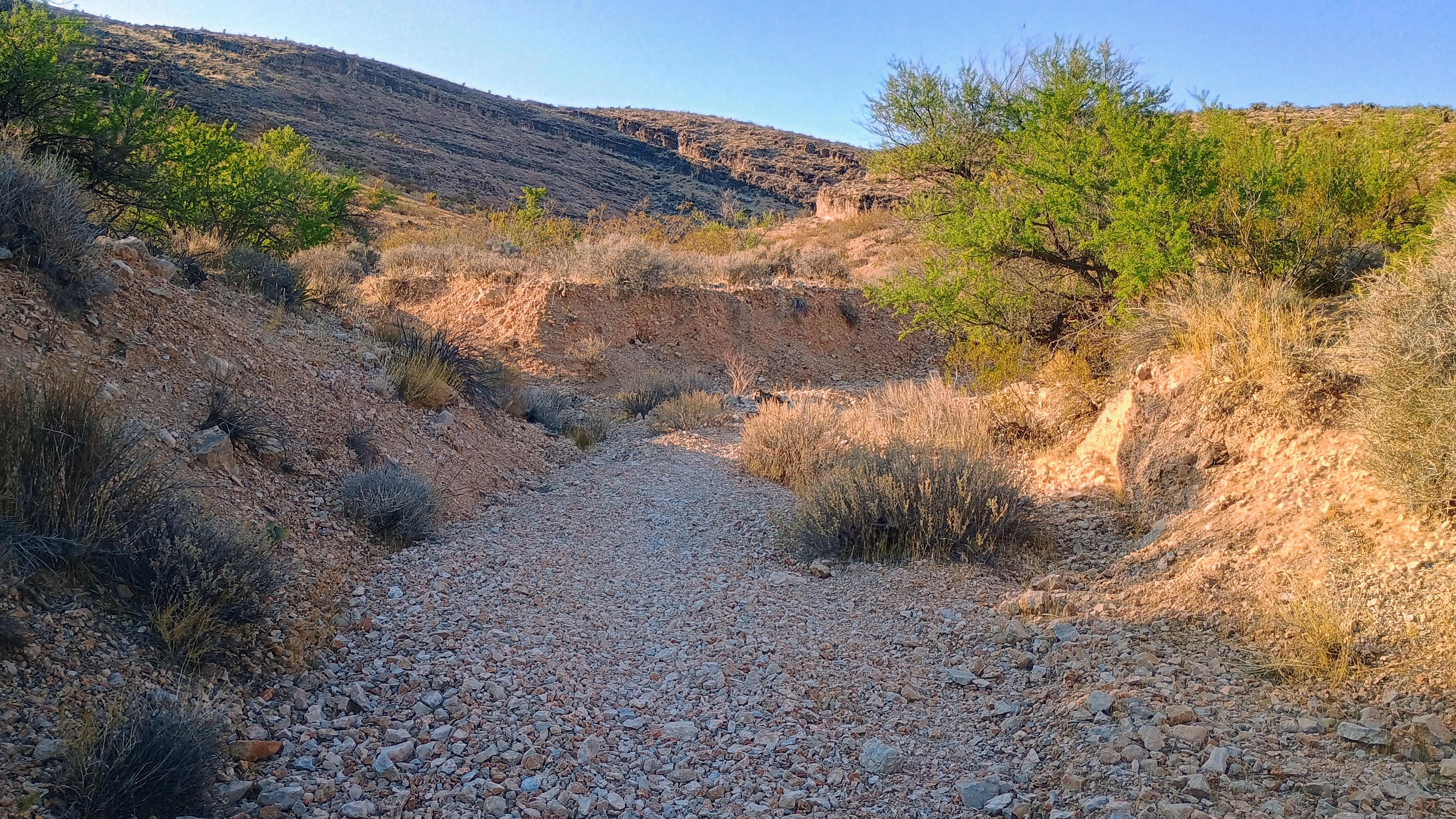
I followed a trail into a drainage bed that eventually linked up with a use-trail all the way to the top. This is more or less the same as the route that KJ7NDY has shared on sotadata. There were plenty of cacti and other desert plants to admire along the way, and good views of the Vegas strip from the top.
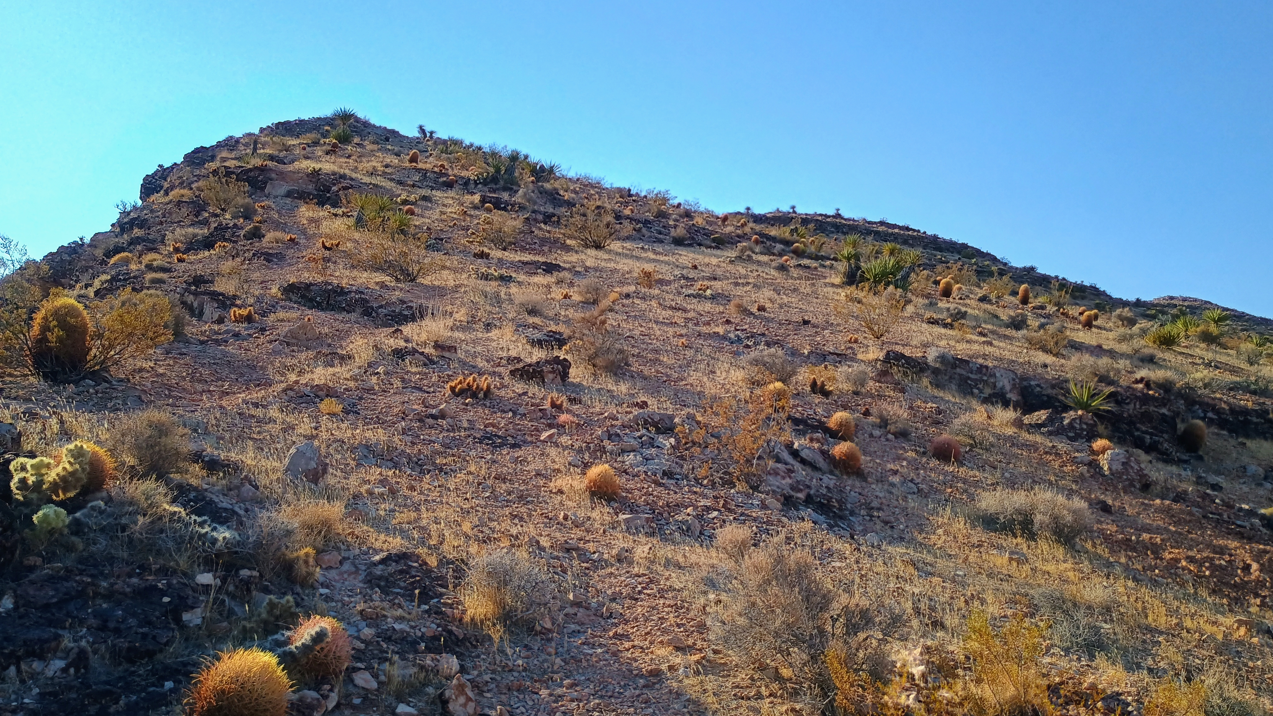
I set up the AX1 loaded vertical near the cairn at the summit and got to work. 17 QSOs overall, including a 2m contact with NF7B from just listening to 146.52, driving through to UT.
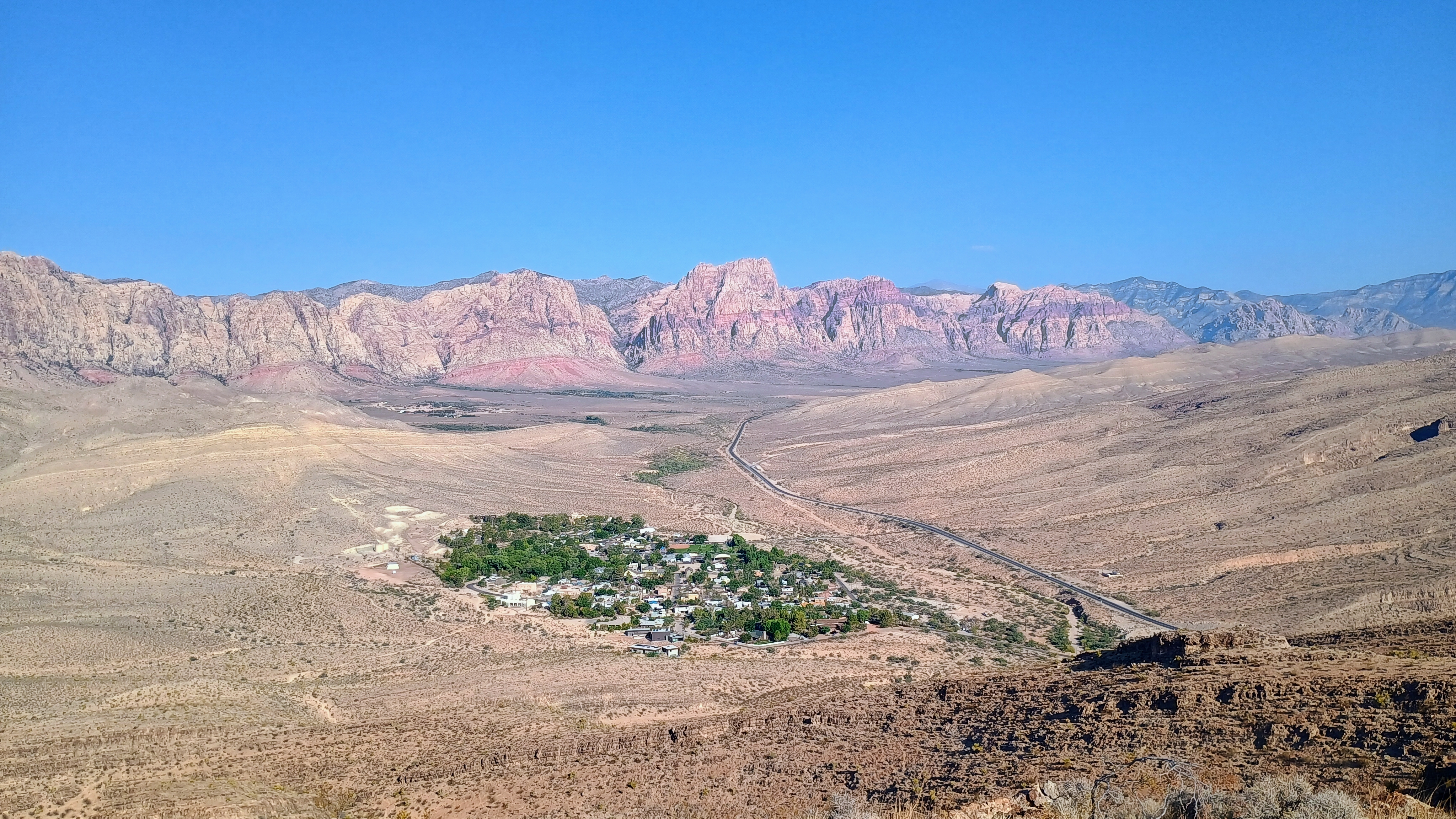
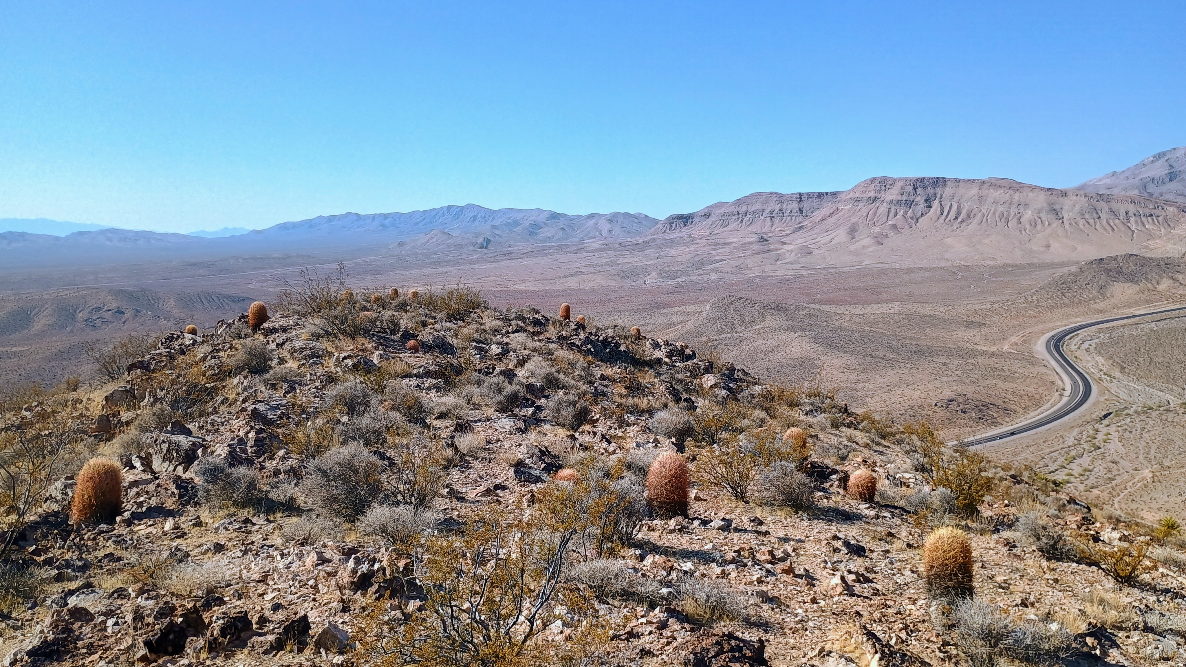
  • Trailhead: 36.04754, -115.39903 : Parked on concrete pad off Arroyo Road on the way to the tiny town of Blue Diamond, NV
  • Map:  [AA3TZ SOTA]
  • Route: 2.1 mile RT hike along mountain bike/use trails; ~750 feet of total elevation
  • POTA: US-7494, Red Rock Canyon National Conservation Area
W7U/WS-124 Shinob Kibe

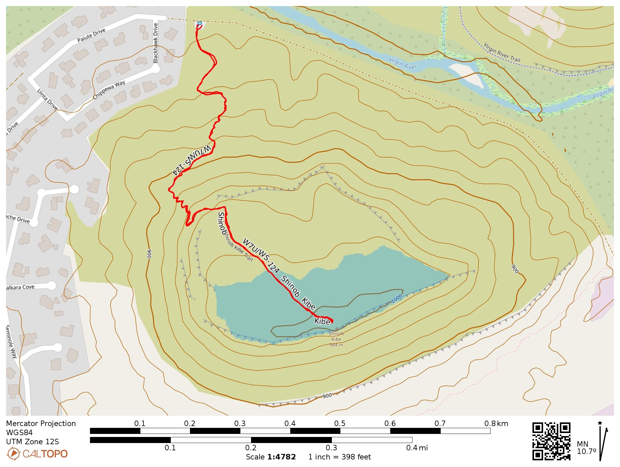
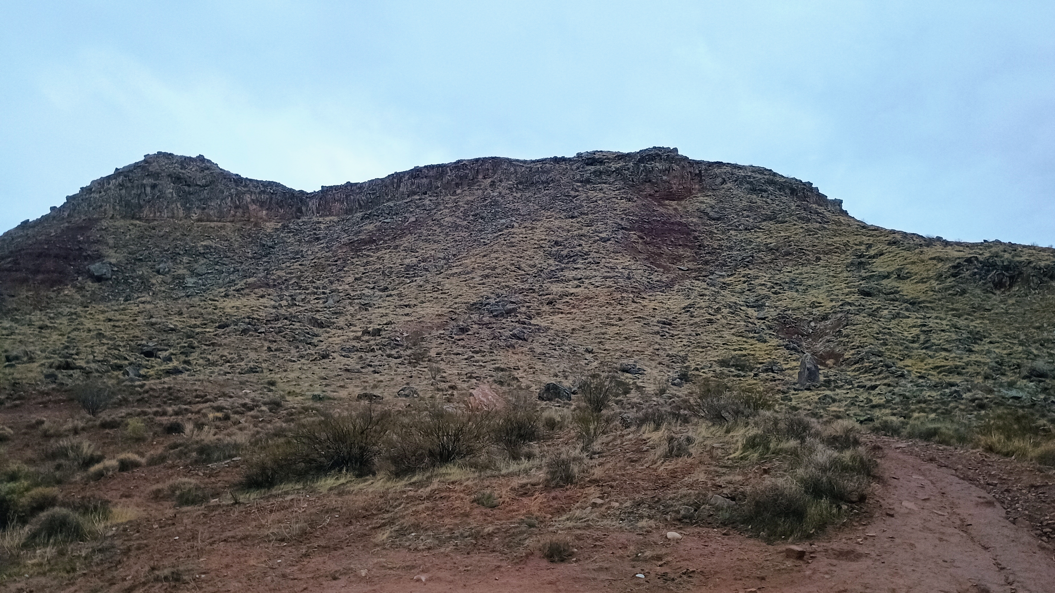
We were in Las Vegas over Labor Day weekend for a wedding, and decided to spend a night in Zion National Park. Early in the morning, I snuck out to the St. George area to hike up this mesa and get a UT SOTA activation on the books. I parked in the dirt/clay lot just past the edge of the small subdivision at the end of Paiute Drive. The trailhead isn’t marked, but it’s obvious enough once you’re there. Just follow the road past the gate where the pavement ends.

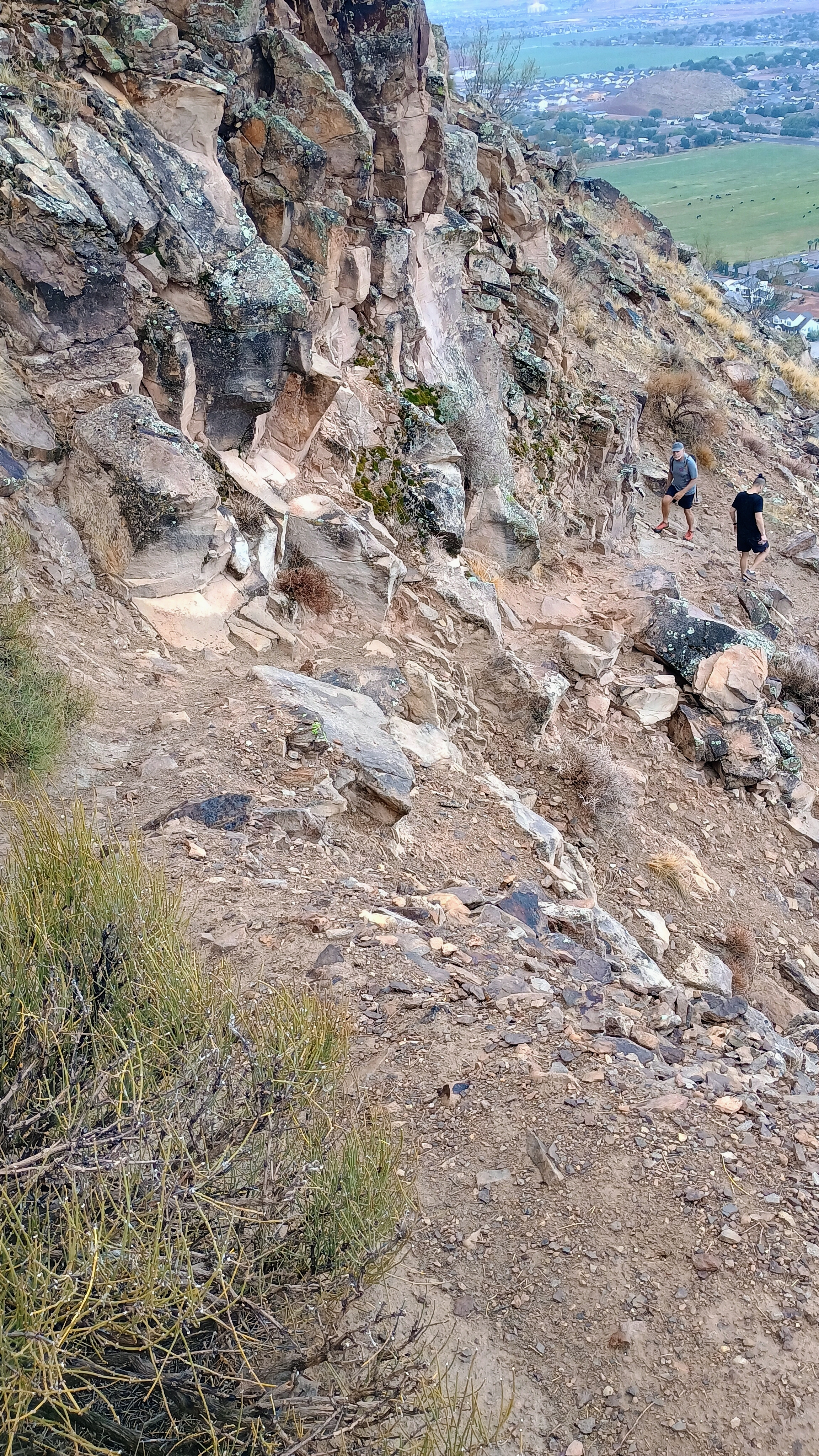
The hike up Shinob Kibe is straightforward. The trail starts as a well-worn path heading up the northern slope, and then turns into some steeper rocky sections. There was nothing particularly technical about this climb, though the shade-free hike would be more strenuous in the sun. My early morning timing helped avoid the worst of desert heat, and it actually started to drizzle on the way down.

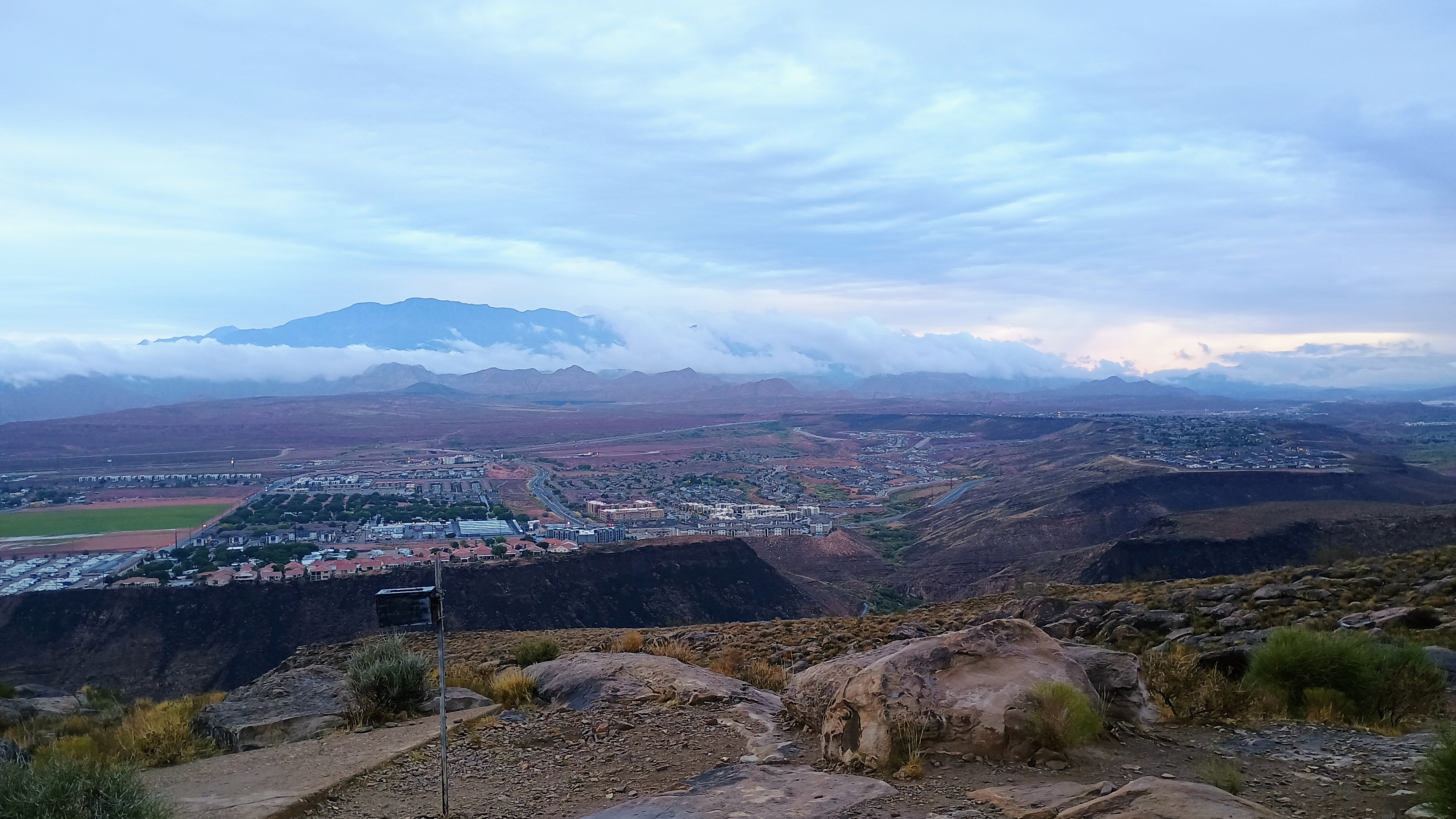
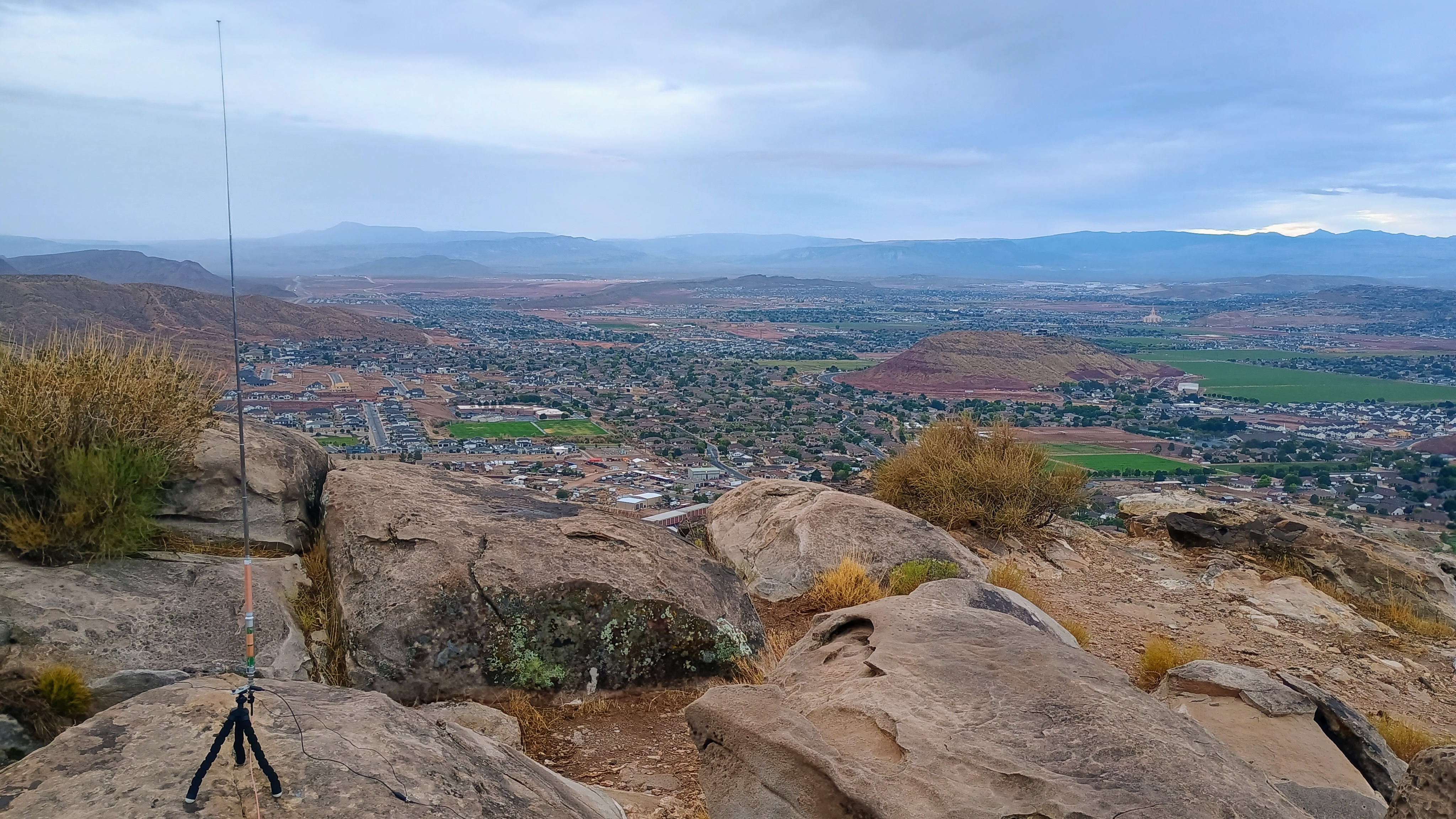
Once on top of the mesa, there was an easy walk up the relatively flat summit to reach the high point at 3,290 feet. The views of the St. George area are great, with red rock country stretching out in every direction. There’s a summit register to sign inside an ammo container. There’s also an old concrete FAA navigational arrow that pilots used for the Los Angeles to Salt Lake City route in the 1930s.

I set up my station near the high point. The mesa provides good line-of-sight in all directions for VHF, though I stuck with HF for this activation. Bands were cooperative, and I logged the required four contacts without much trouble on 20m, switching to 40m for three more before having to get going. I like seeing what new group of “locals” I get on 40m! It was fun to get Peter WB6POT on 40m instead of the usual 20m, for example.

This turned out to be a perfect quick activation while I was in Utah, a hike worth doing, but leaves plenty of time for the rest of the day. The round-trip hike took about 40 minutes, with about 600 feet of elevation gain.

  • Trailhead: 37.1394, -113.4897 (end of Paiute Drive, Washington, UT)
  • Map: [AA3TZ SOTA]
  • Route: 1.3 mile RT via Shinob Kibe Trail; ~600 feet of ascent
  • POTA: None

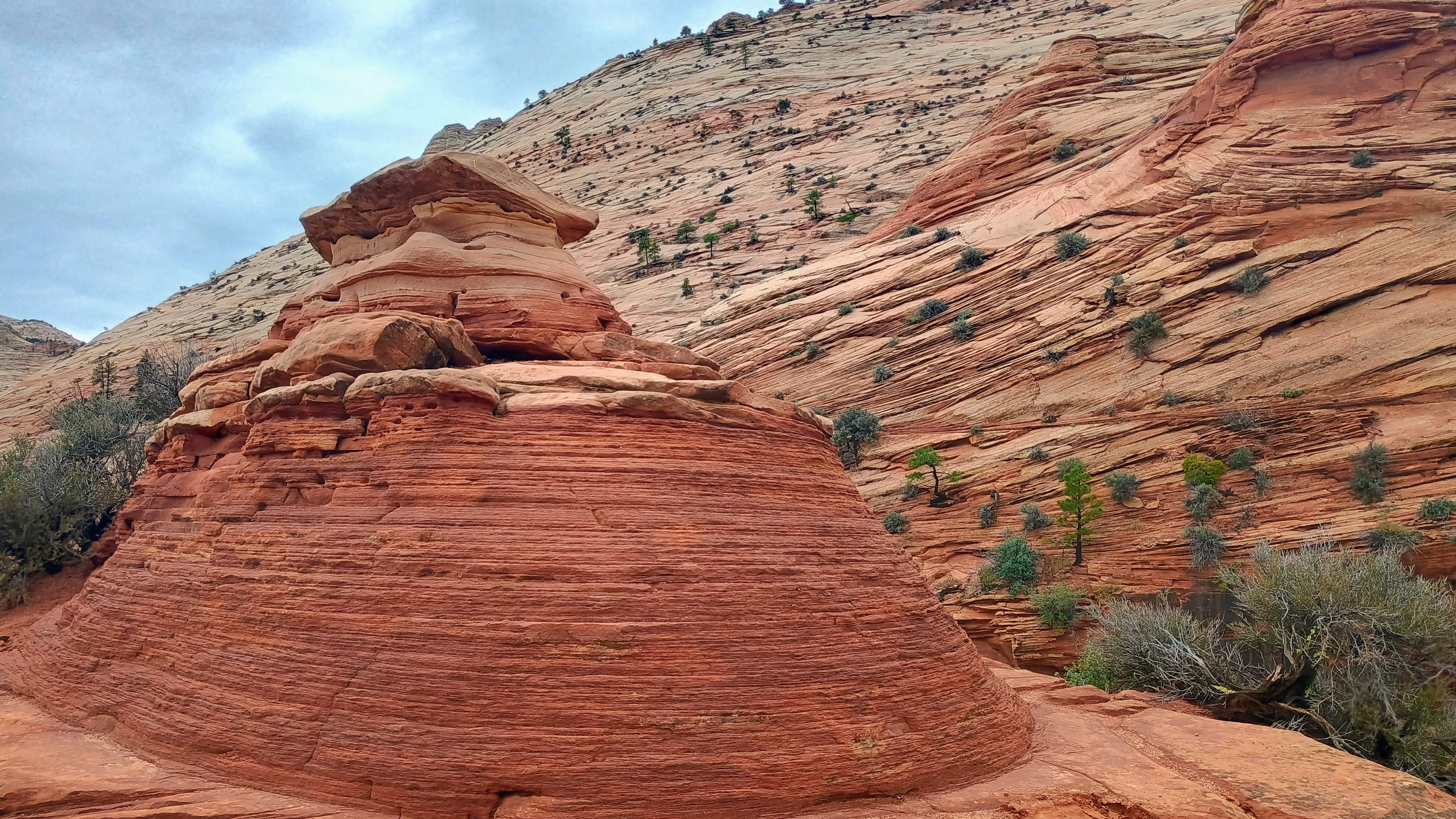
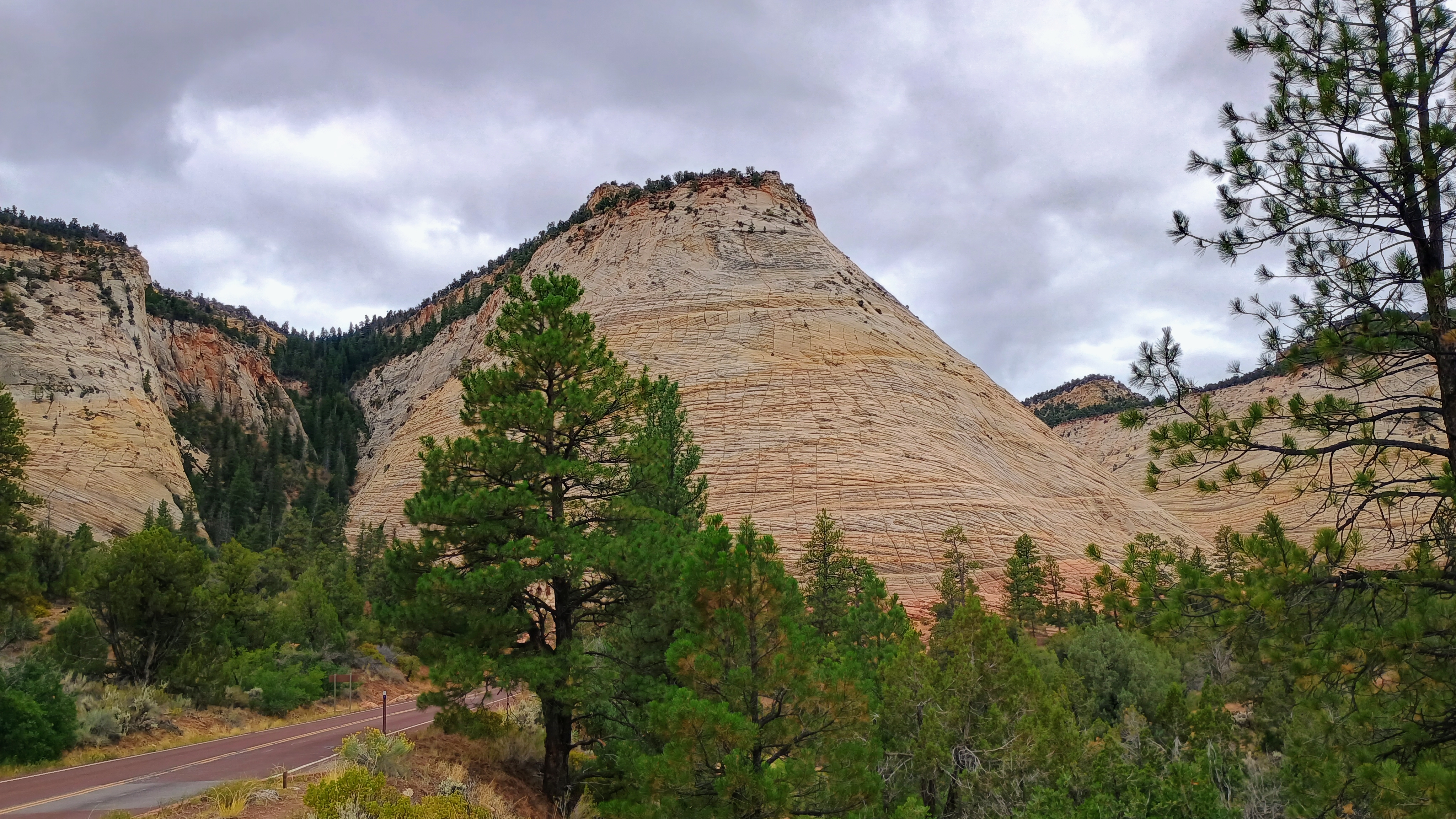
Afterwards, we spent the day in Zion National Park, and I was able to work in a leisurely POTA activation among the rocks. Being a valley (and west coast POTA), it took more time than it usually does to rack up enough calls, but it was still a great time!

W3/SV-009 Brush Mtn 2575

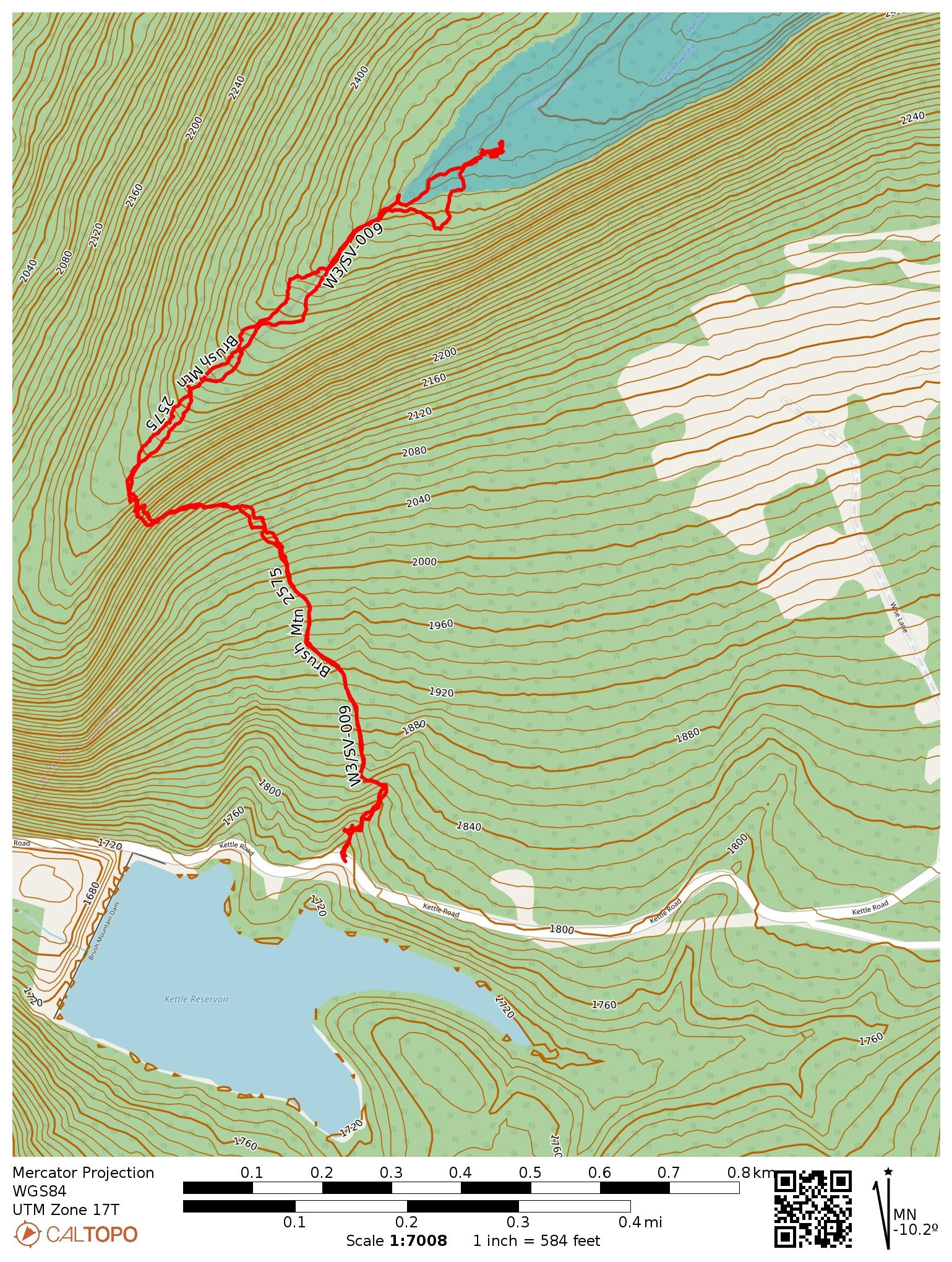
This hike was the second of my two SOTA activations on Brush Mountain east of Altoona. This reference is for the actual high peak of Brush Mountain, which sits on private property. Some trip reports on peakbagger have mentioned different routes up from private property after securing the landowner’s permission. I followed the path charted by N2GBR, which starts off the side of the road by Kettle Reservoir, and continues up city-owned land until entering the activation zone.

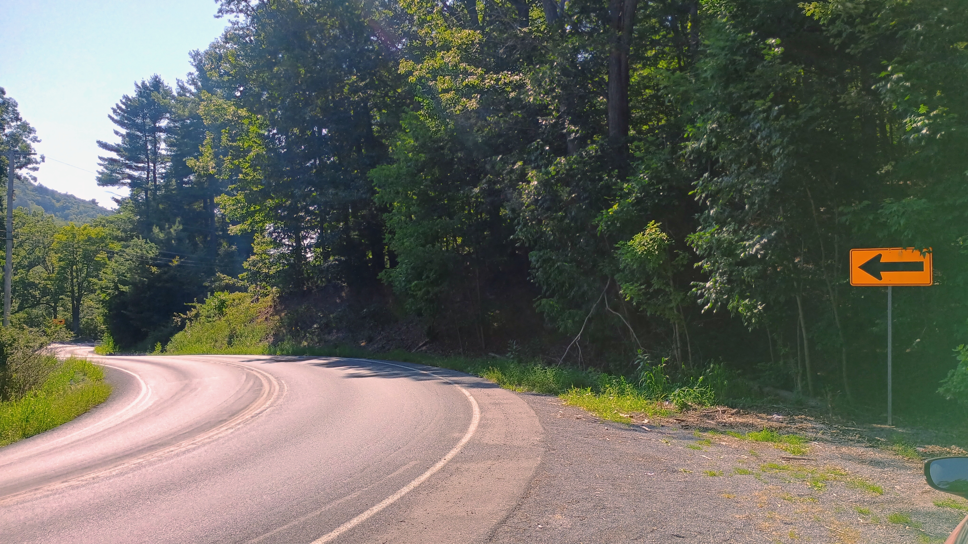
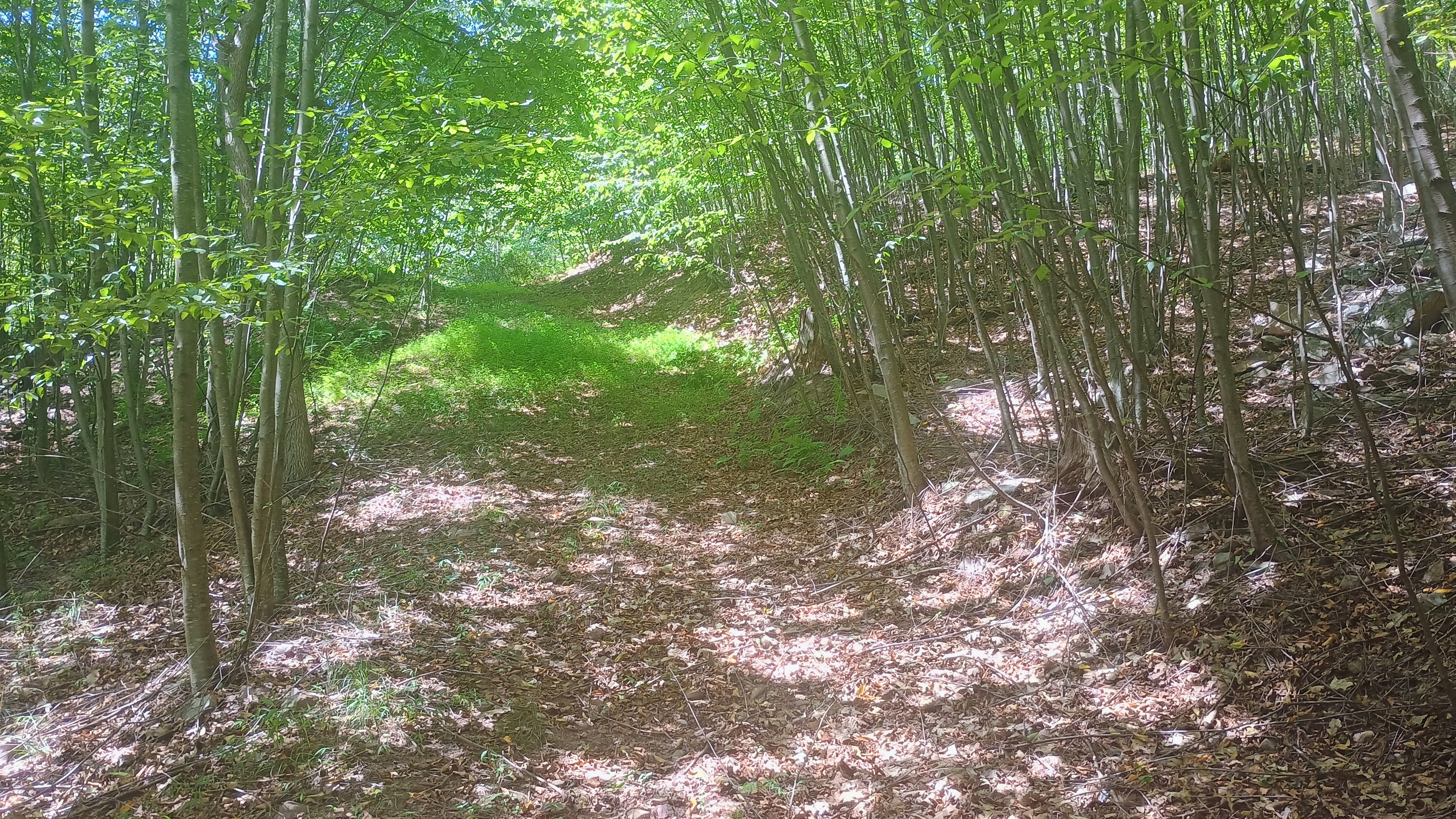
The parking spot is a gravel patch by a turn in Kettle Road. It felt strange to park here and then dive into the woods by the side of the road, but I’m starting to get used to it, as that’s not unusual for western PA SOTA. It didn’t take long to find an Jeep trail that took me northwest towards the ridge. The Blair County GIS page confirmed that this summit can be activated fully on land owned by the city of Altoona, so I made sure to stay off of private property, even though I didn’t see any posted signs.

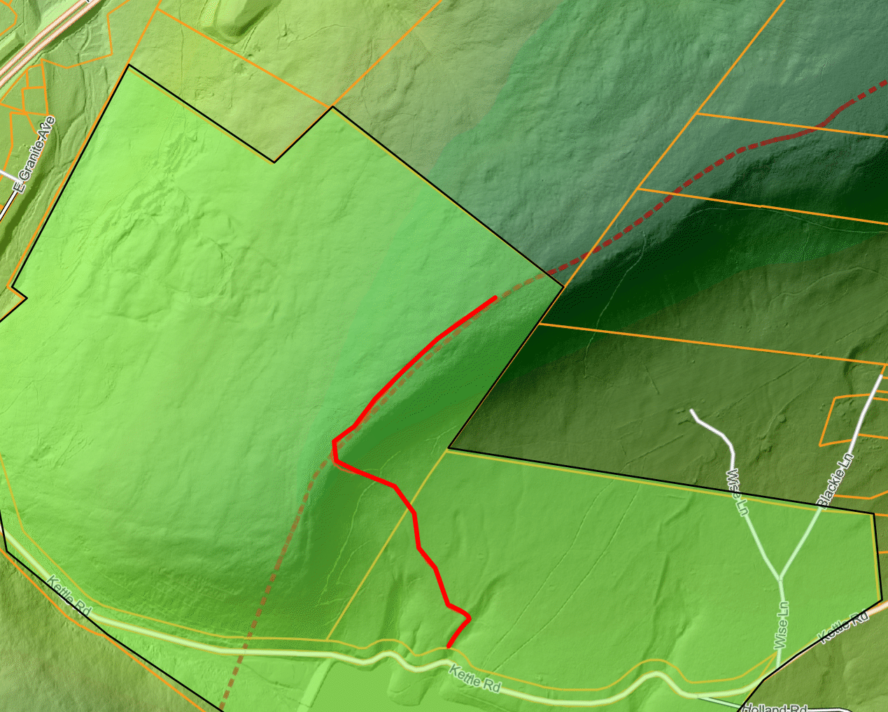
My approximate path was along the red line. The green highlighted polygon marks city-owned tax parcels. The activation zone extends into this public land.

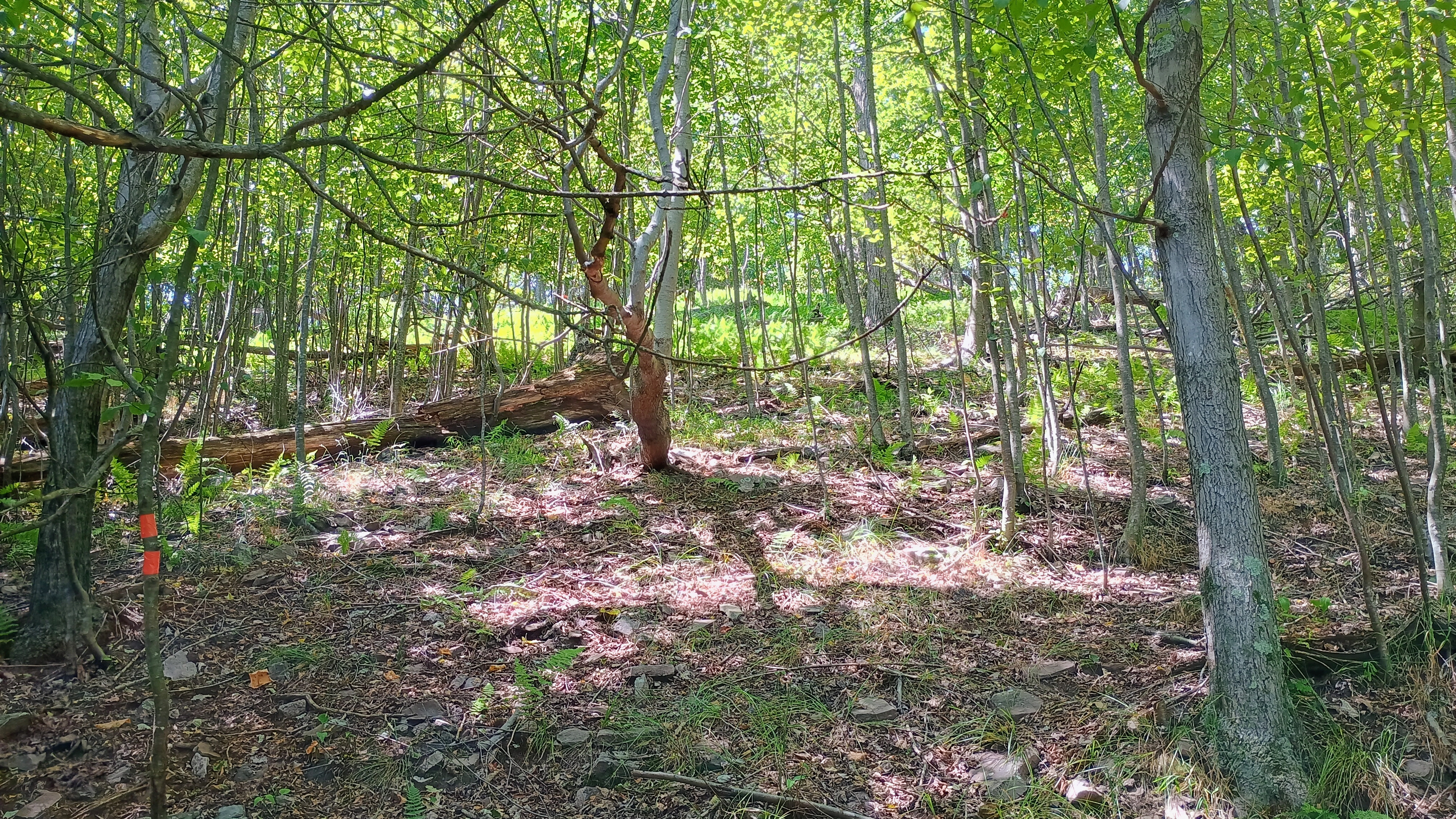
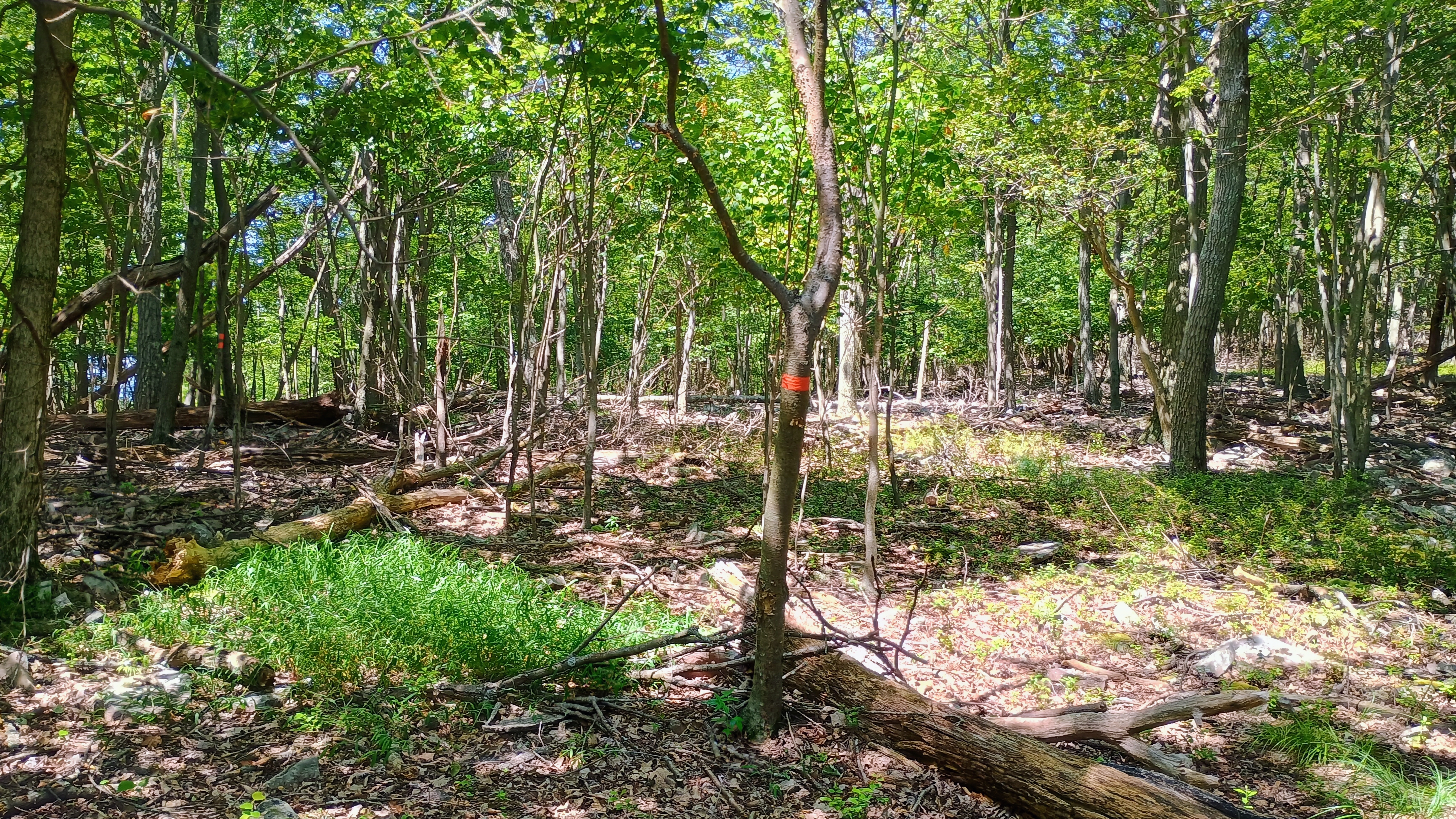
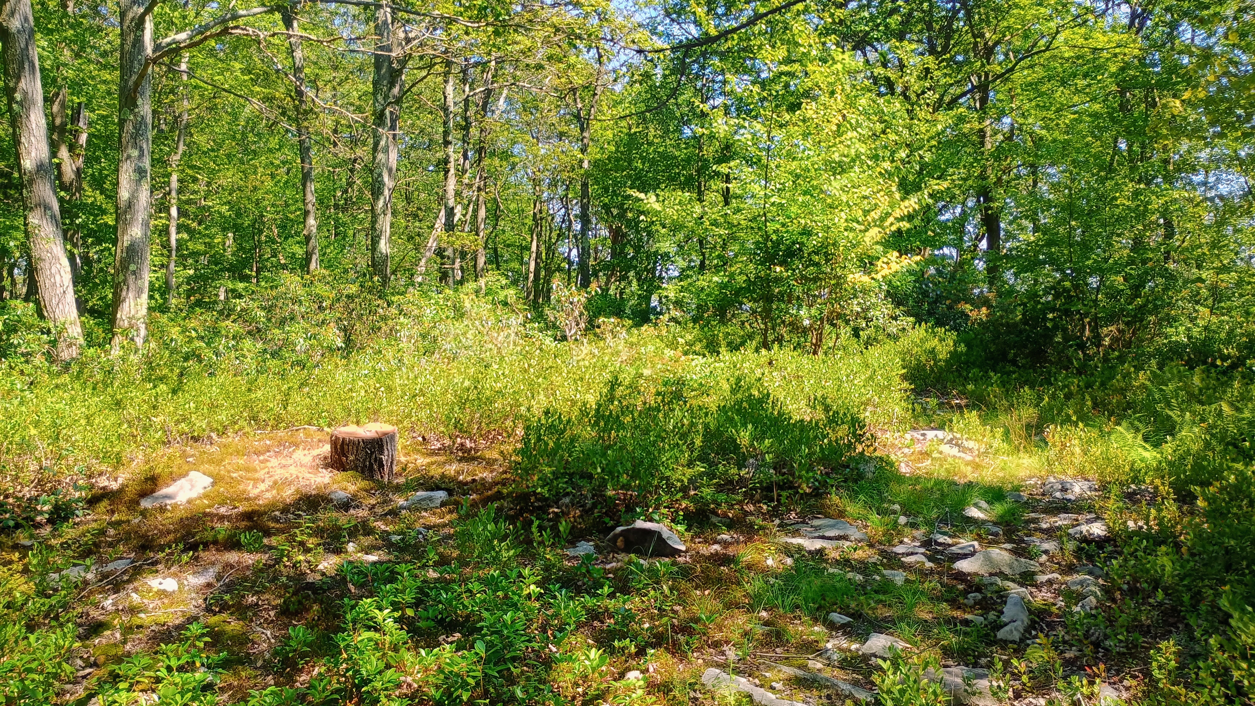
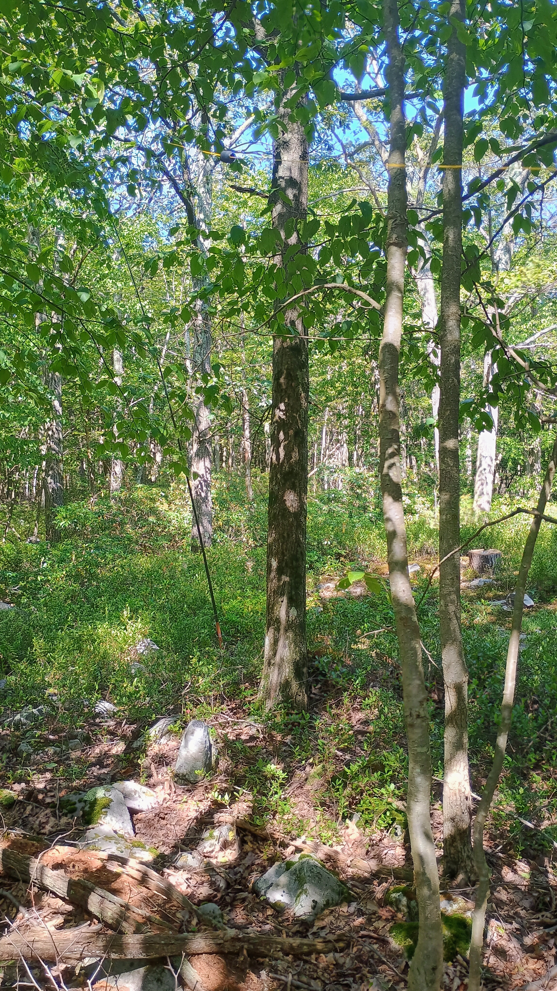
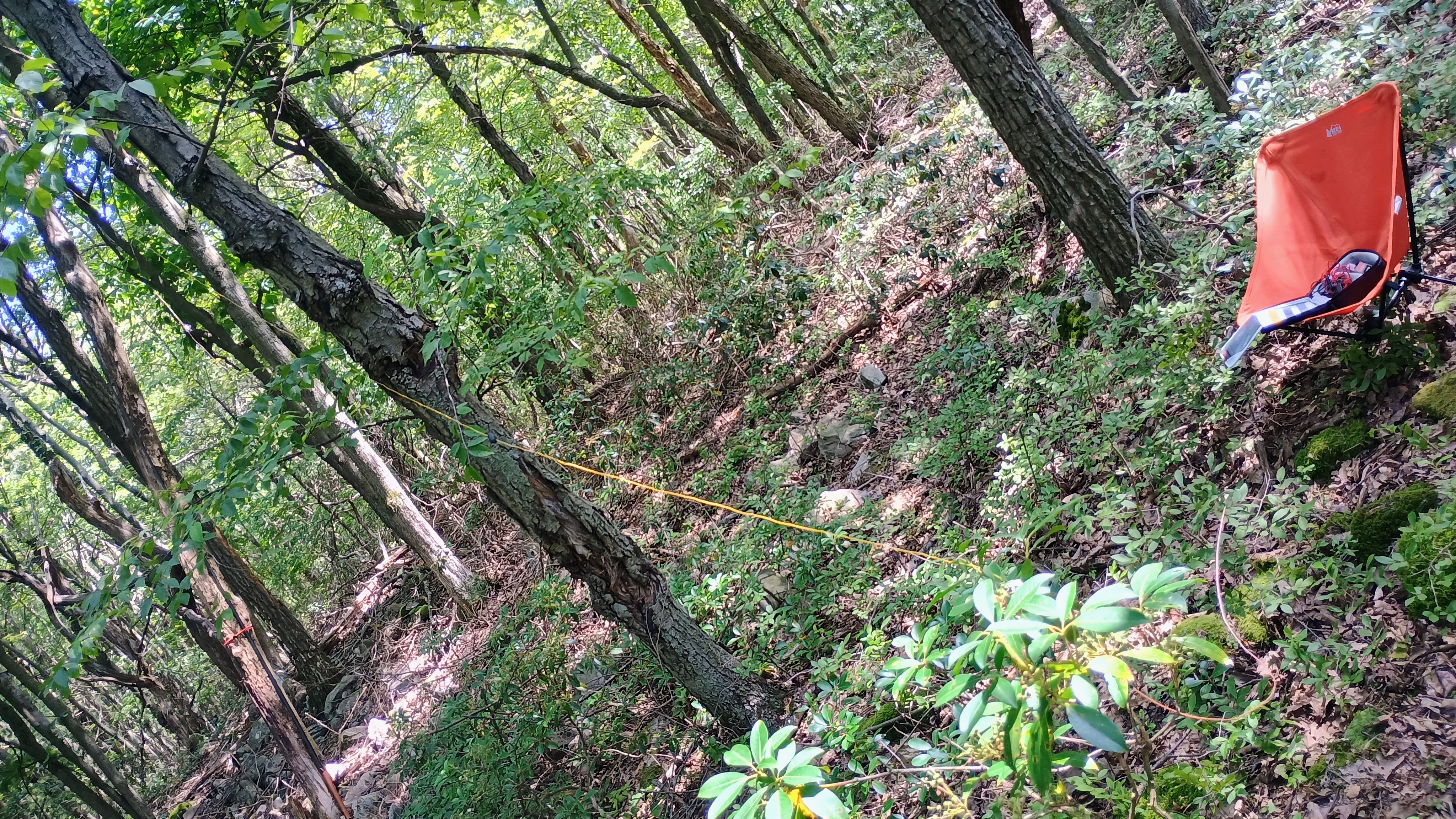
I had a good trail to follow that eventually ended close to the ridge. Here, a series of trees marked with orange tape led me along a steep 100 foot push to the ridgeline. Then, the hike became a bushwhack along the rocky ridgeline until I got to the activation zone. There was a semi-open space within the southwest edge of the activation zone where I chose to set up, at roughly 2515 ft elevation.

At this time, a G1 geomagnetic storm was raging, which put a damper on HF. I lingered until I notched 11 QSOs, mostly on 40m, including Eric VA2EO. All in all, this was a fun SOTA hike that required some relatively light bushwhacking. The activation zone for this peak is over 2 miles long, and it nearly reaches into the south edge of State Game Lands 166. However, that approach does require crossing onto private property, so I stuck with the tried and true Kettle Reservoir starting point.

W3/SV-011 Brush Mtn 2557

I wanted to try out the pair of SOTA peaks east of Altoona on Brush Mountain, and had a free Saturday to try it out. N2GBR reports climbing south from Kettle Road, which looks like a steep-grade bushwhack. The easier route that NK8Q involves driving to a parking area in Brush Mountain Woodlands Preserve, which is now owned by the State Game Commission.

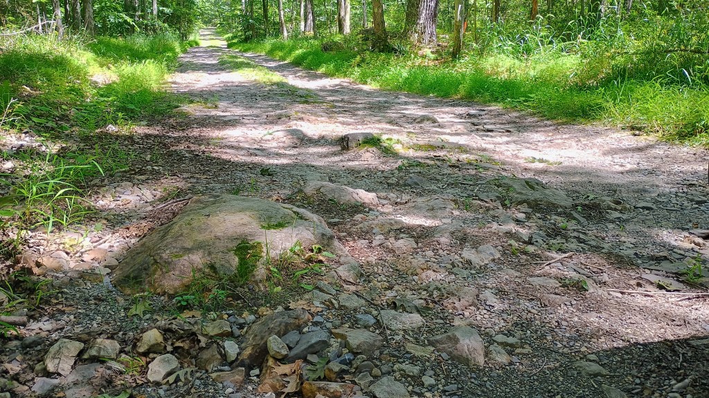
The road here is in extremely rough shape, with large rocks jutting out at points. I went very slowly in a vehicle with decent clearance (Subaru Crosstrek, 8.7 inch clearance), and still had to take a careful line to avoid bottoming on some large rocks. You do not want to take a sedan on this road! I could have driven all the way to the northernmost parking area, but opted to cut it short to give myself some extra hiking and avoid driving on Fire Tower road any longer. The bumpiest part ends just about where I bailed to park (40.48438, -78.36553), so if you make it this far, you may as well drive to the end (40.48664, -78.36318).

Super bumpy and rocky on the way up!

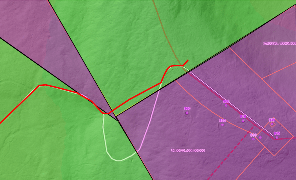
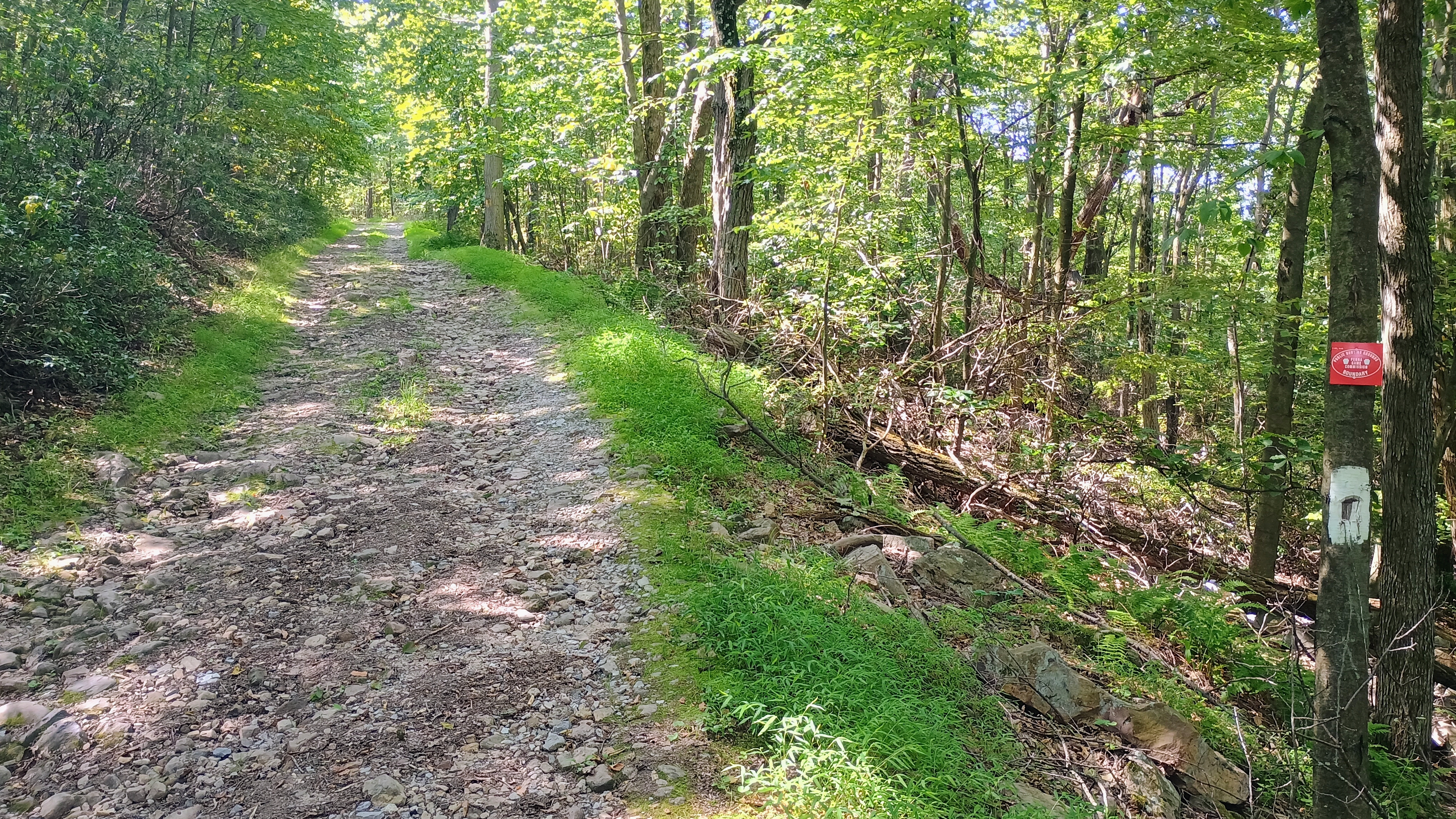
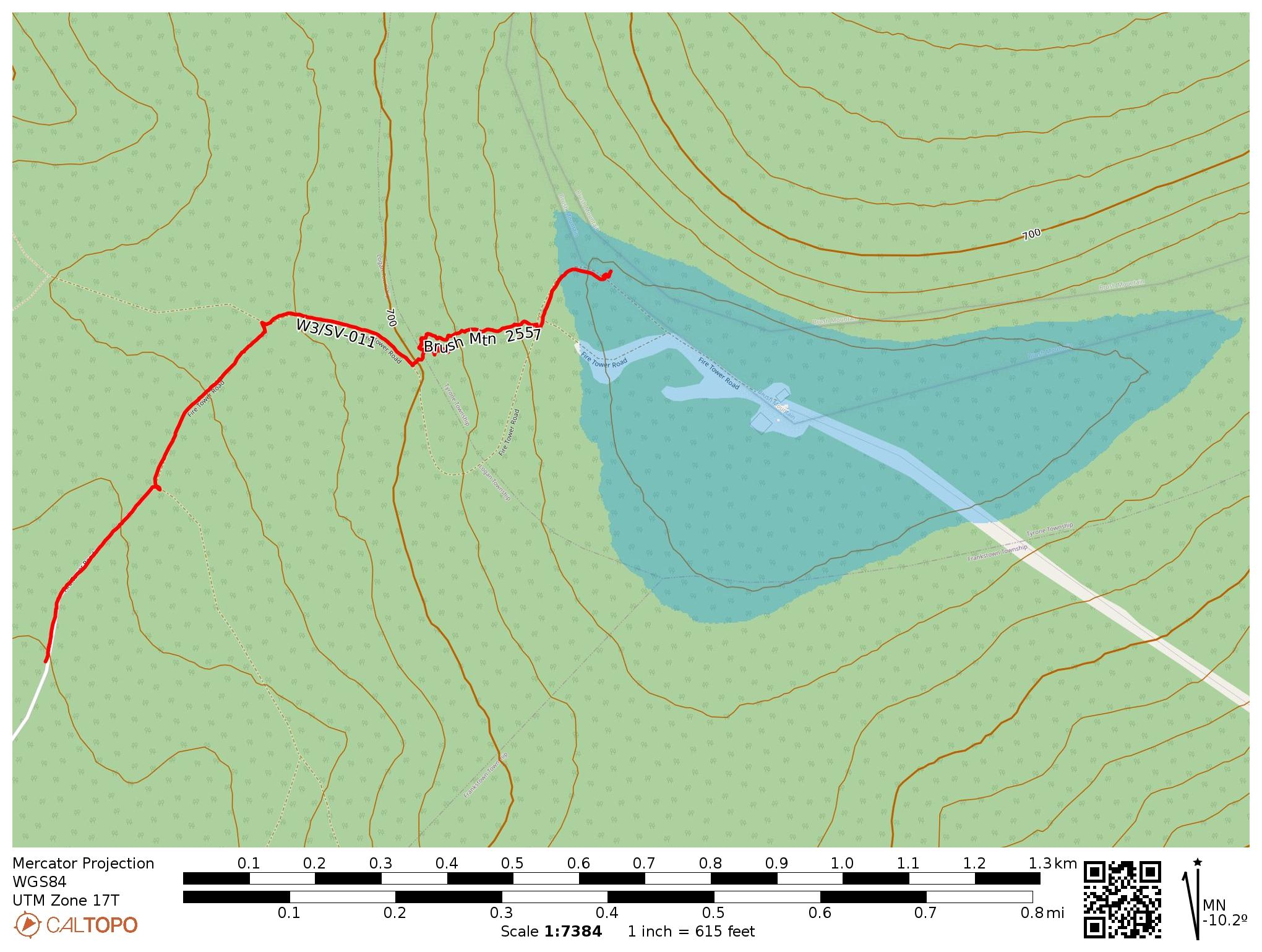
The hike follows Fire Tower Road towards a transmitter site (gated and posted) until arriving at the AZ. You have to leave the road at some point to get to the AZ while avoiding the gated/posted area. You actually cannot get into the AZ without crossing through about 100 feet of private property (unposted parcel) to get back to land controlled by the State Game Commission, which I confirmed by looking at the Blair County GIS page. I carefully crossed the narrow parcel of private land just above Fire Tower Road to get back to the road.

The purple areas are private property. The lower right area is posted and gated, as it provides access to the radio tower. I bushwhacked through the narrow parcel in the upper left to get back to state-owned land, and operated just north of Fire Tower Road.

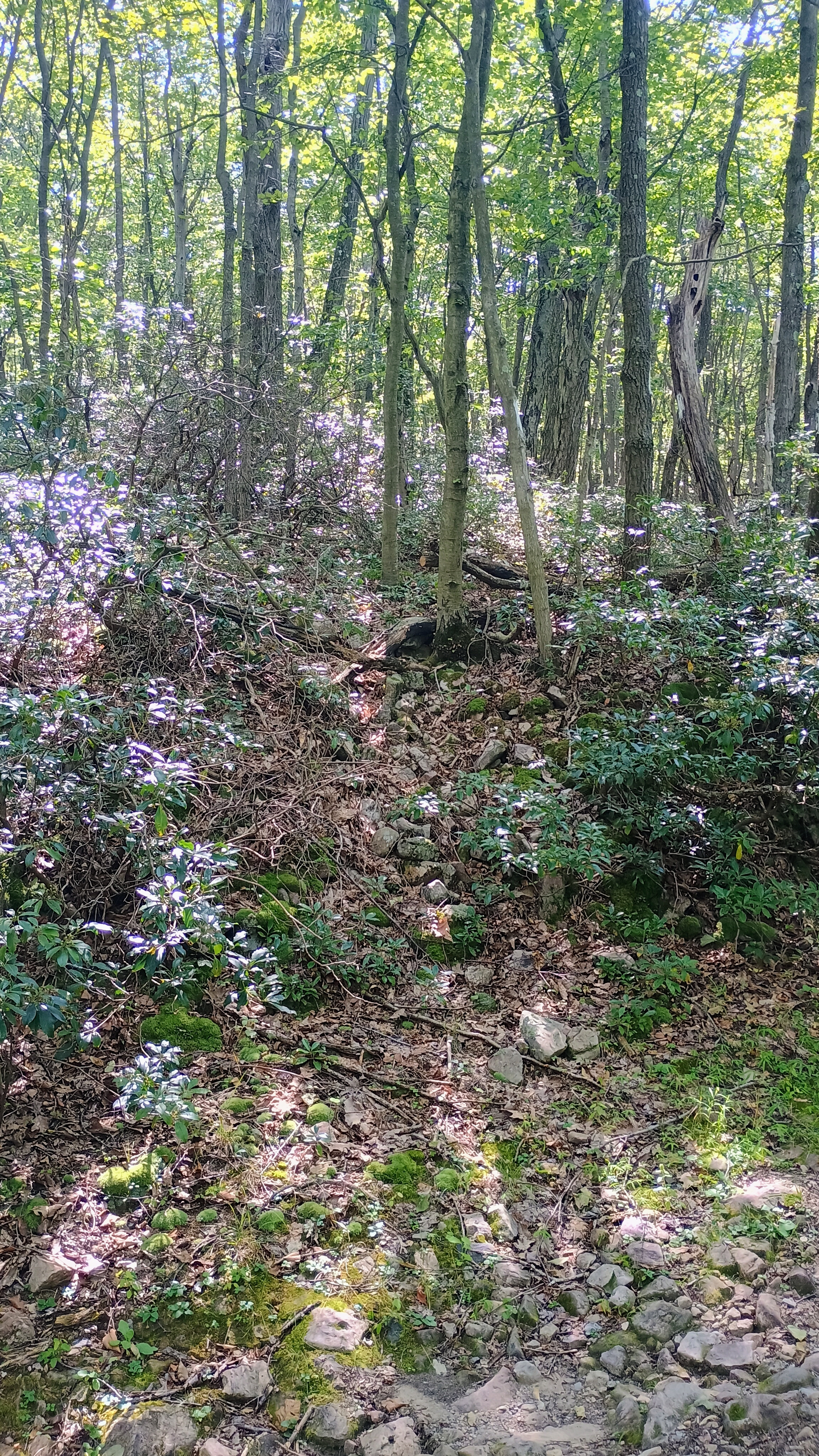
After rejoining Fire Tower Road, I hiked along until I saw no trespassing signs marking the start of the road to the radio tower. I went off-trail here and set up since it’s just inside the activation zone. The brush was strong immediately by the side of the road, but otherwise this was a reasonable bushwhack.

Conditions weren’t great, but F4WBN and VA2EO obliged with some DX, and I got two S2S contacts: N1ZF on W1/GM-007 (my fifth 007 chase, earning me the “Craig” chasing badge) and N2PX on W2/GC-077. 13 QSOs when all was said and done.

  • Trailhead: I parked in a grass patch at 40.48438, -78.36553, but you can go all the way to 40.48664, -78.36318 in Brush Mountain Woodlands Preserve
  • Map:  [AA3TZ SOTA] [Brush Mountain Woodlands Preserve Map] [Blair County GIS Department (Parcel Viewer)]
  • Route: 2.0 mile RT hike along Fire Tower Road, with a short bushwhack to stay out of private property; 450 feet of ascent. Starting at the final parking area in Brush Mountain Woodlands Preserve, it would have been closer to 1.2 mi RT.
  • POTA: None

W9/WI-037 Gibraltar Rock

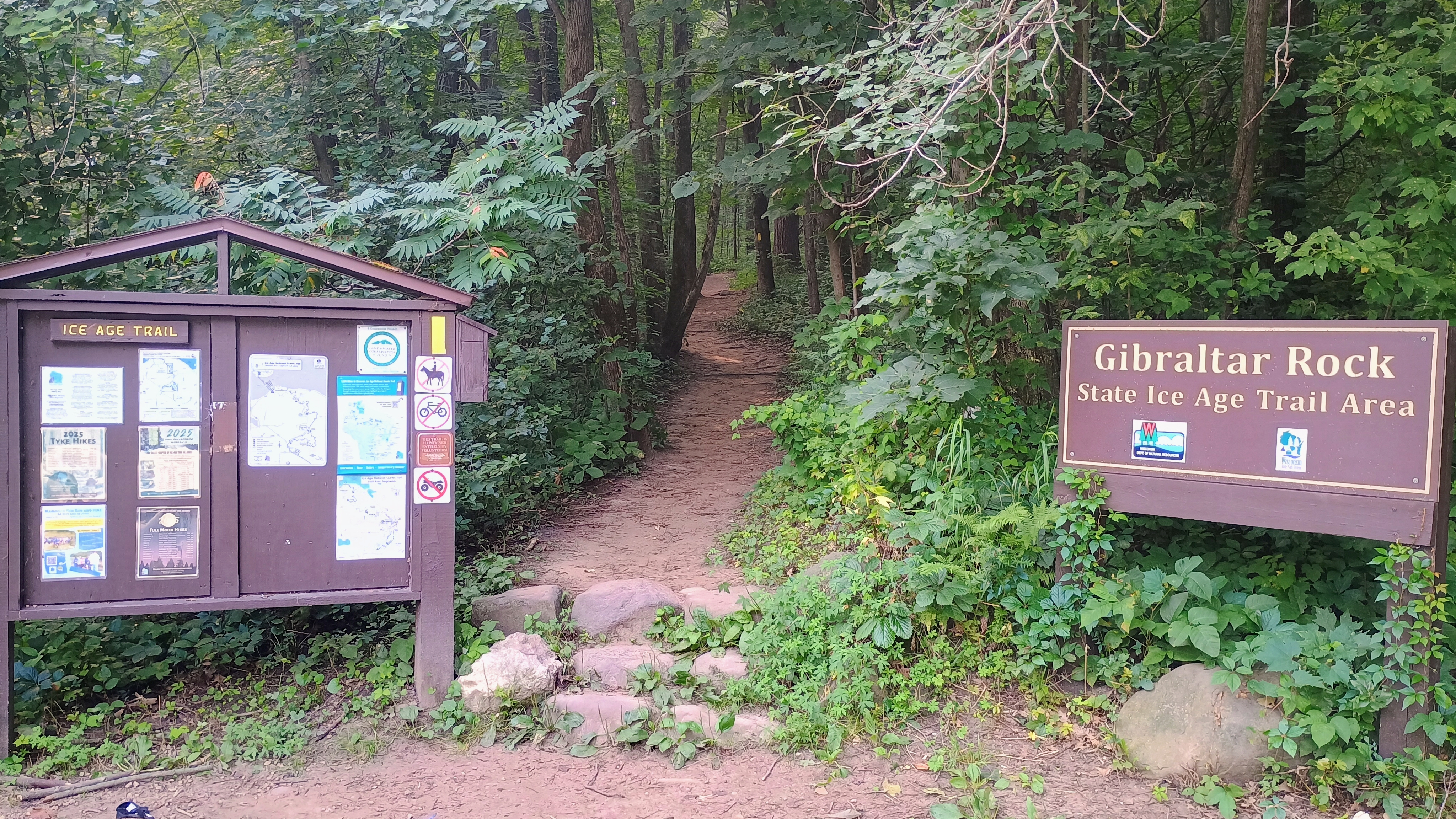
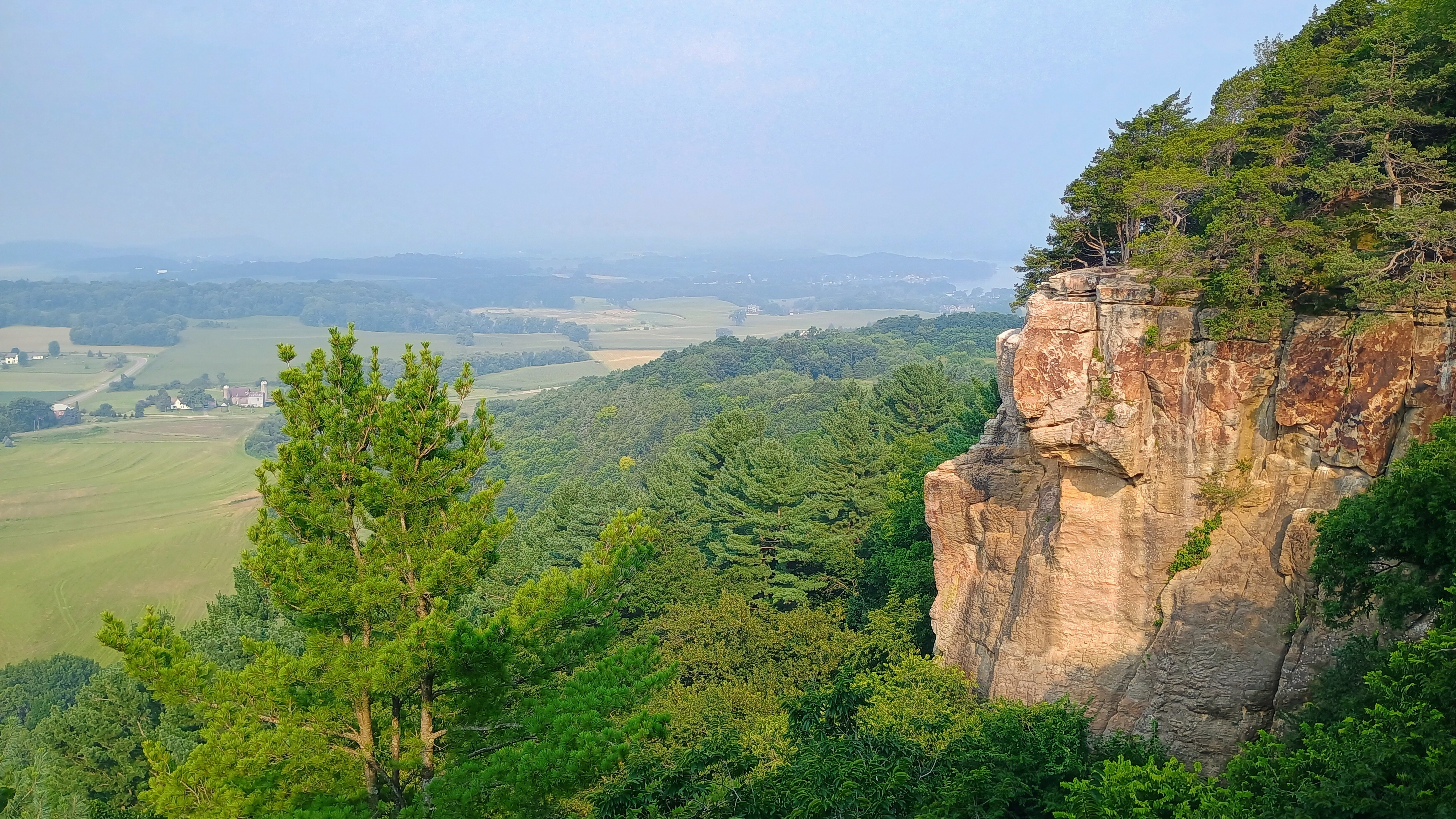
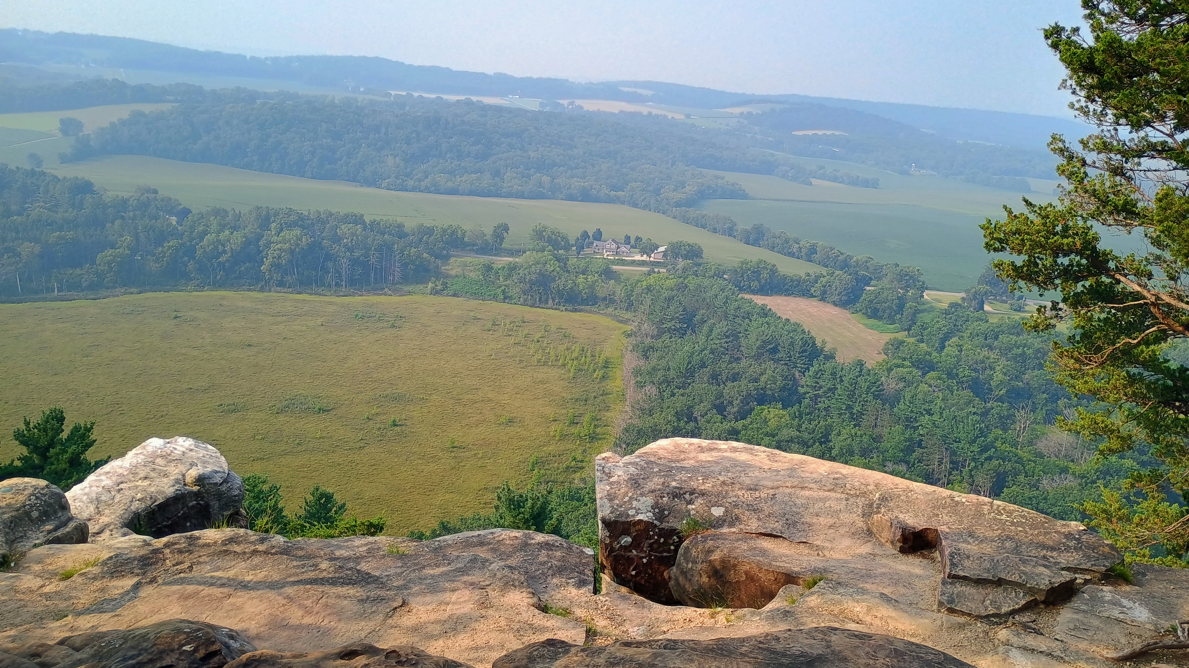
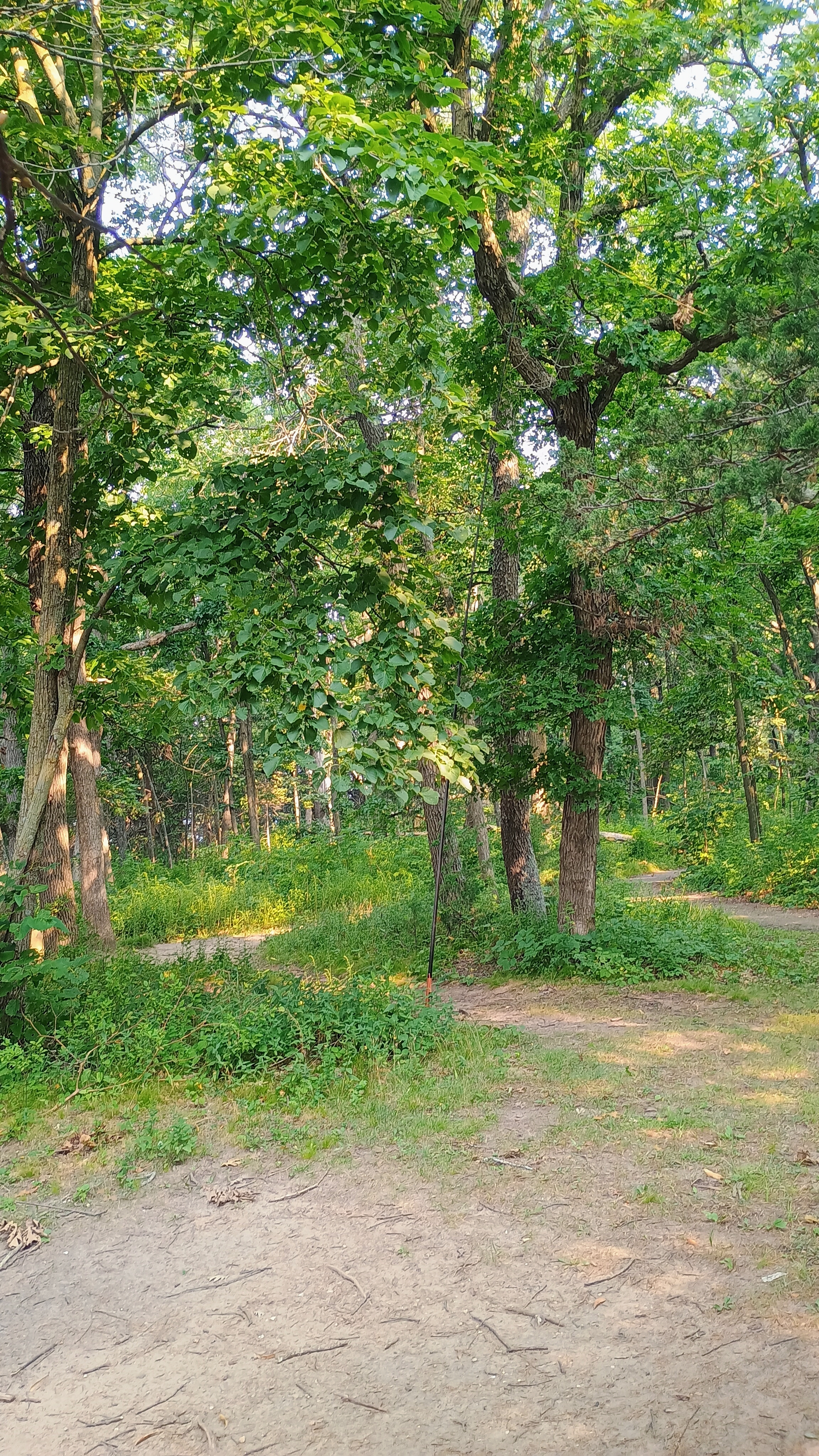
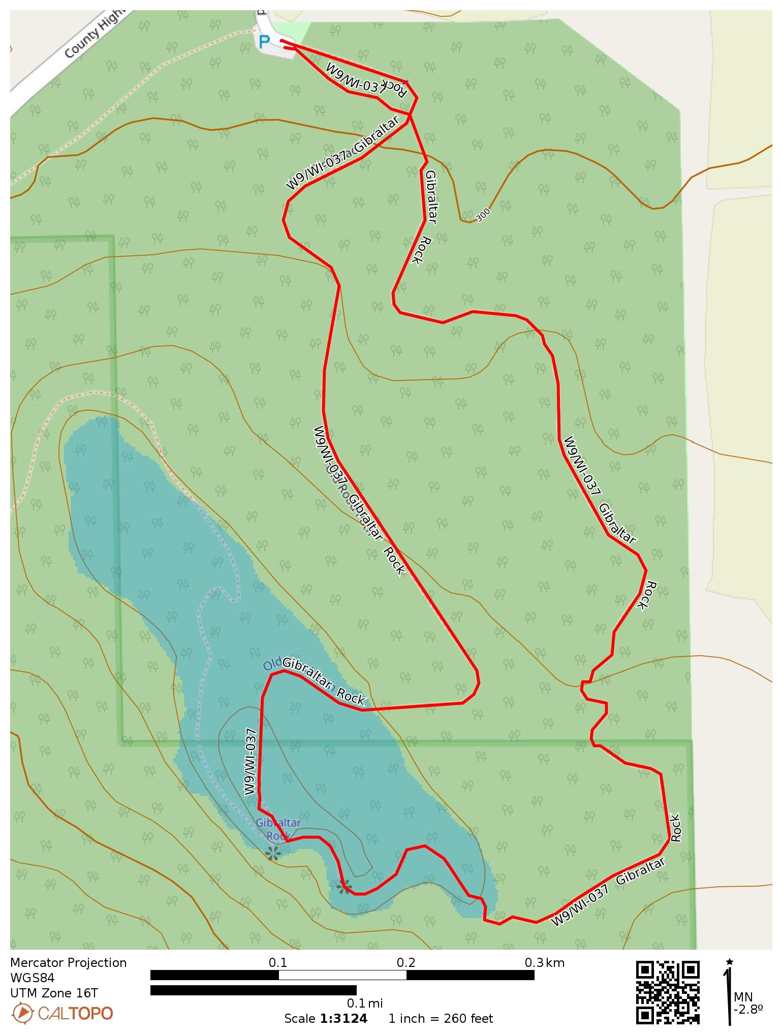
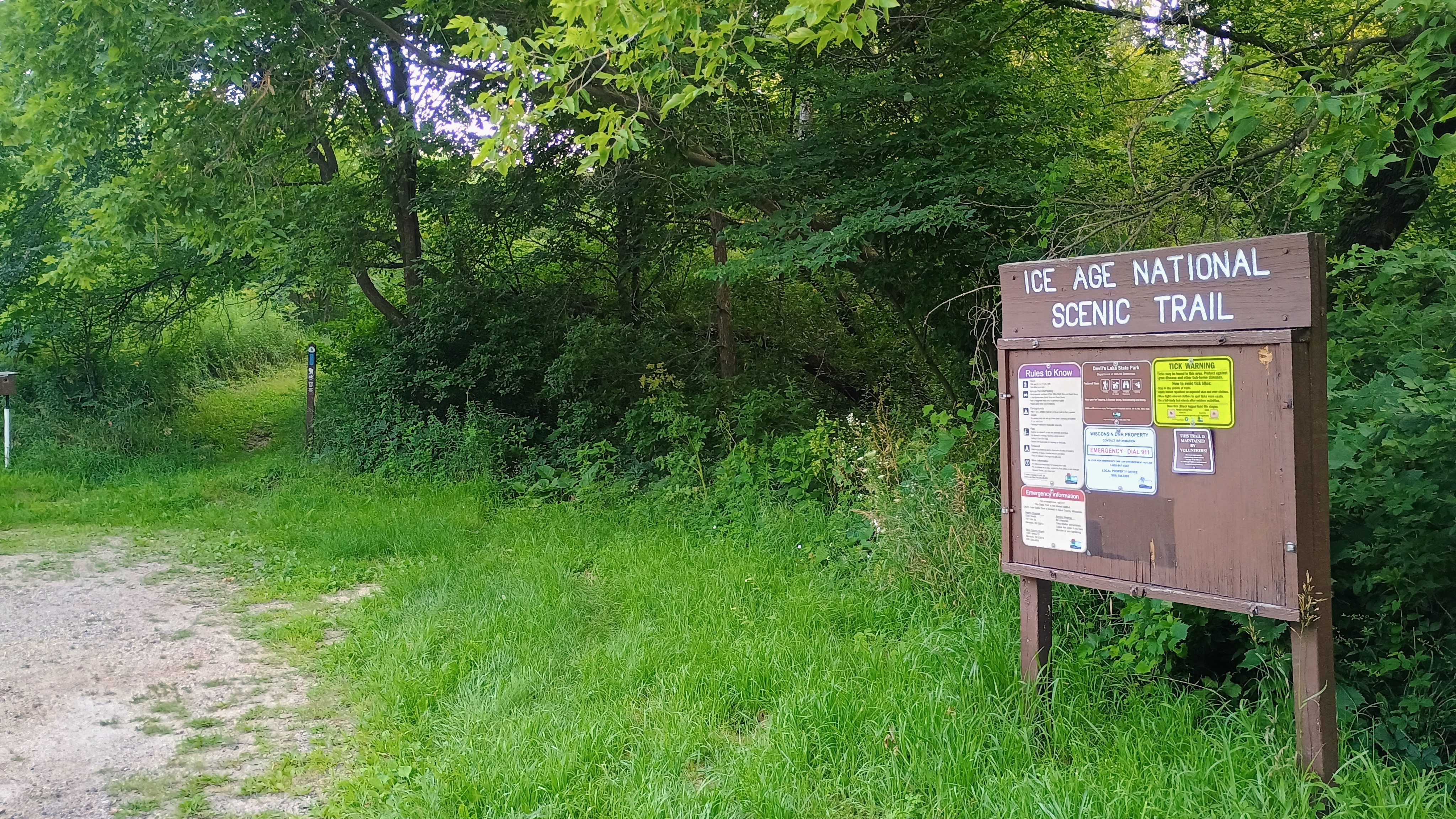
This was the last summit I hit on my WI trip, and it was the most interesting one by far. The dramatic cliffs of Gibraltar Rock are truly spectacular! I walked along the Ice Age Trail from the north parking lot and followed it until I got to the cliffs, about 0.8 miles over the pine-needle covered trail.

The haze from the Canadian wildfires added some dramatic color to the morning light hitting the rocks. After taking in the sights, I set up my wire back from the trail near the paved “Old Road Path.” Here I was out of the way from the heavy Monday-morning foot traffic on the main trail. The end-fed inverted vee is absolutely crushing it!

I got 27 contacts, with two S2S: AC1Z on W1/AM-217 (20m) and N4TU on W8M/LP-032 (40m). My single contact on 15m was with F4WBN. This was my first 15m contact on the MTR3Bv4.

  • Trailhead: 43.34858, -89.60023 : Gibraltar Rock County Park
  • Map:  [AA3TZ SOTA] [Gibraltar Rock State Natural Area Map]
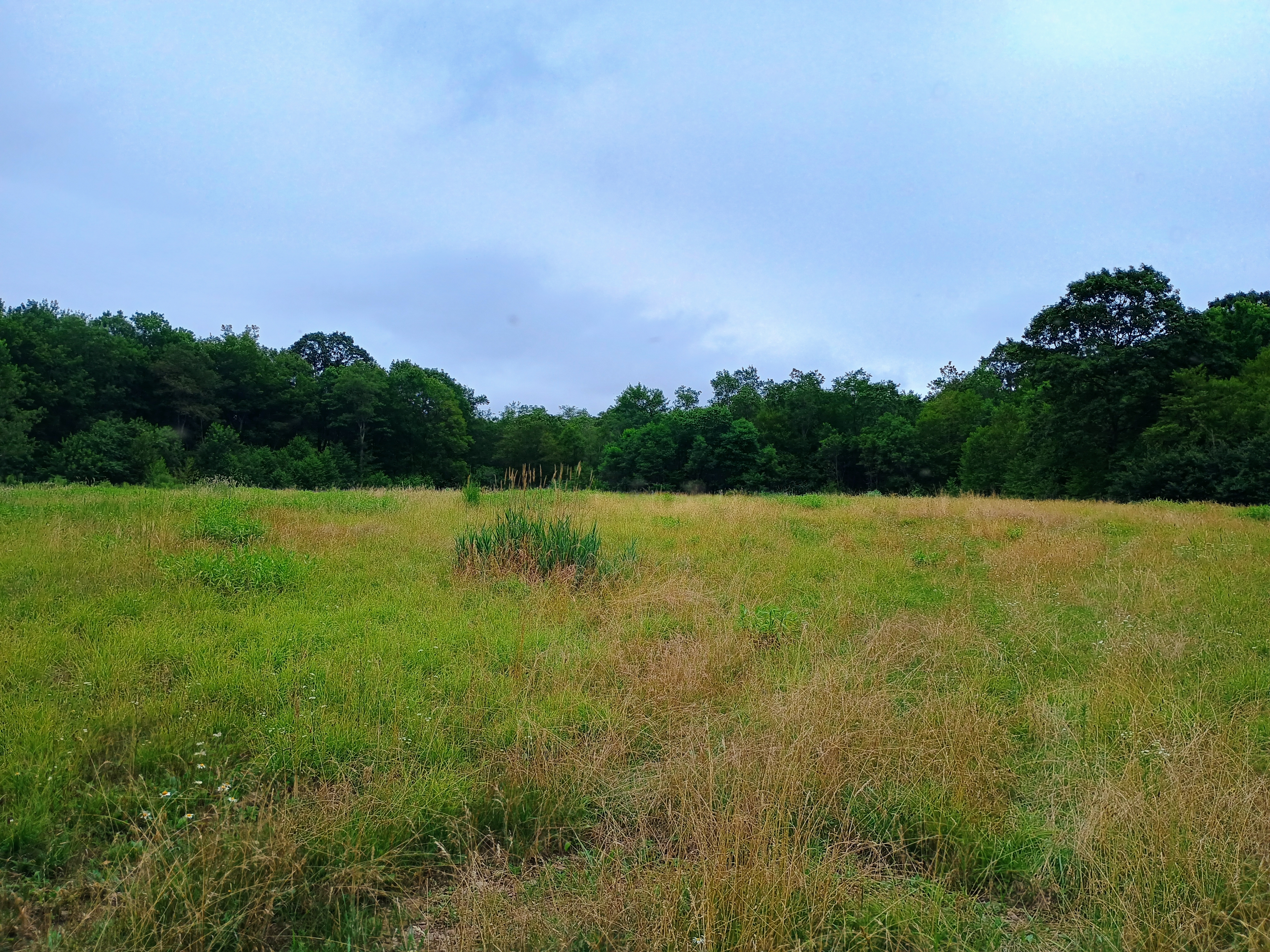
  • Route: 1.4 mile loop on Ice Age Trail/Old Road Path
  • POTA: US-4238 Ice Age National Scenic Trail; US-8363 Gibraltar Rock State Natural Area
W9/WI-013 Sauk Point

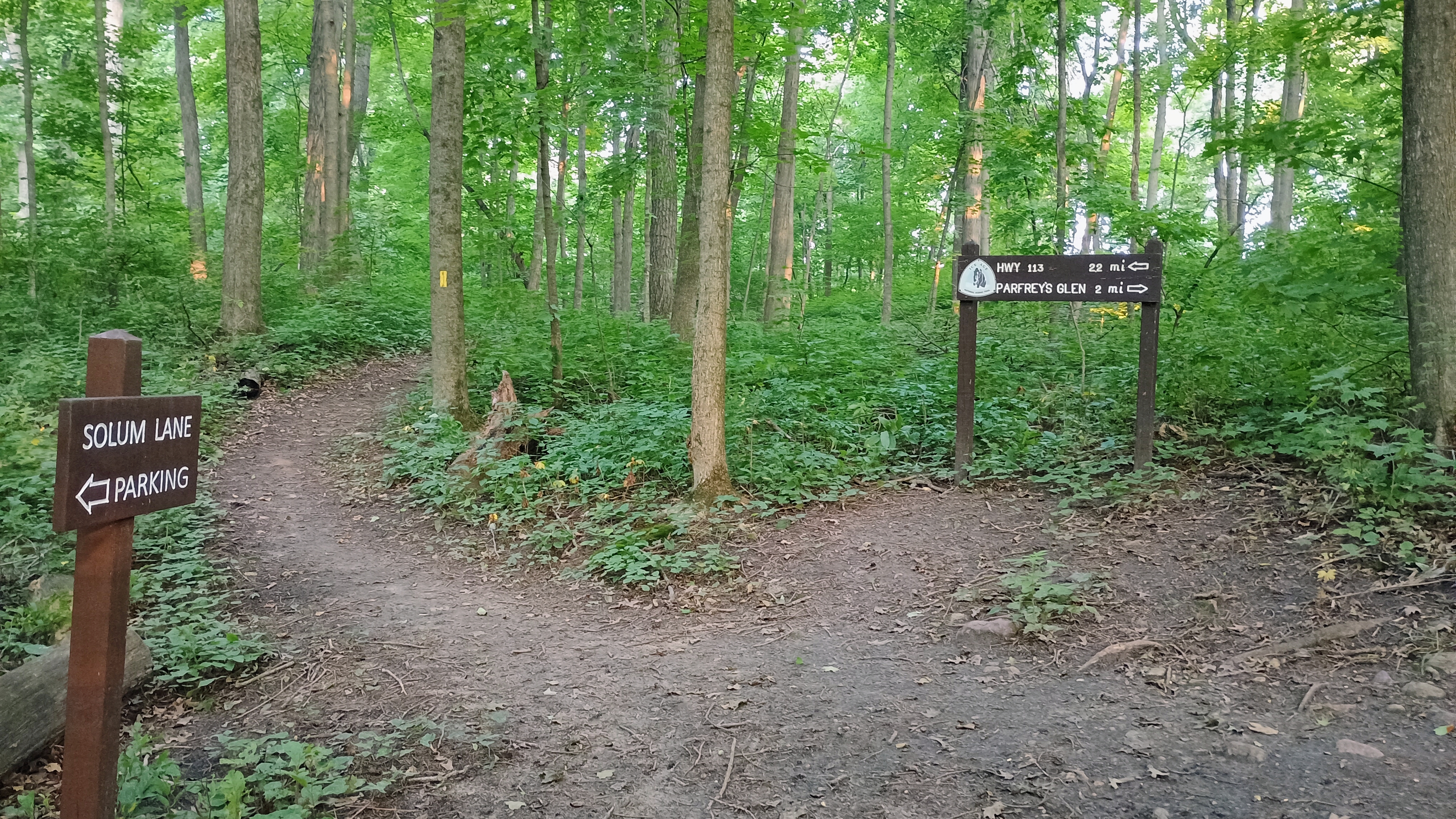
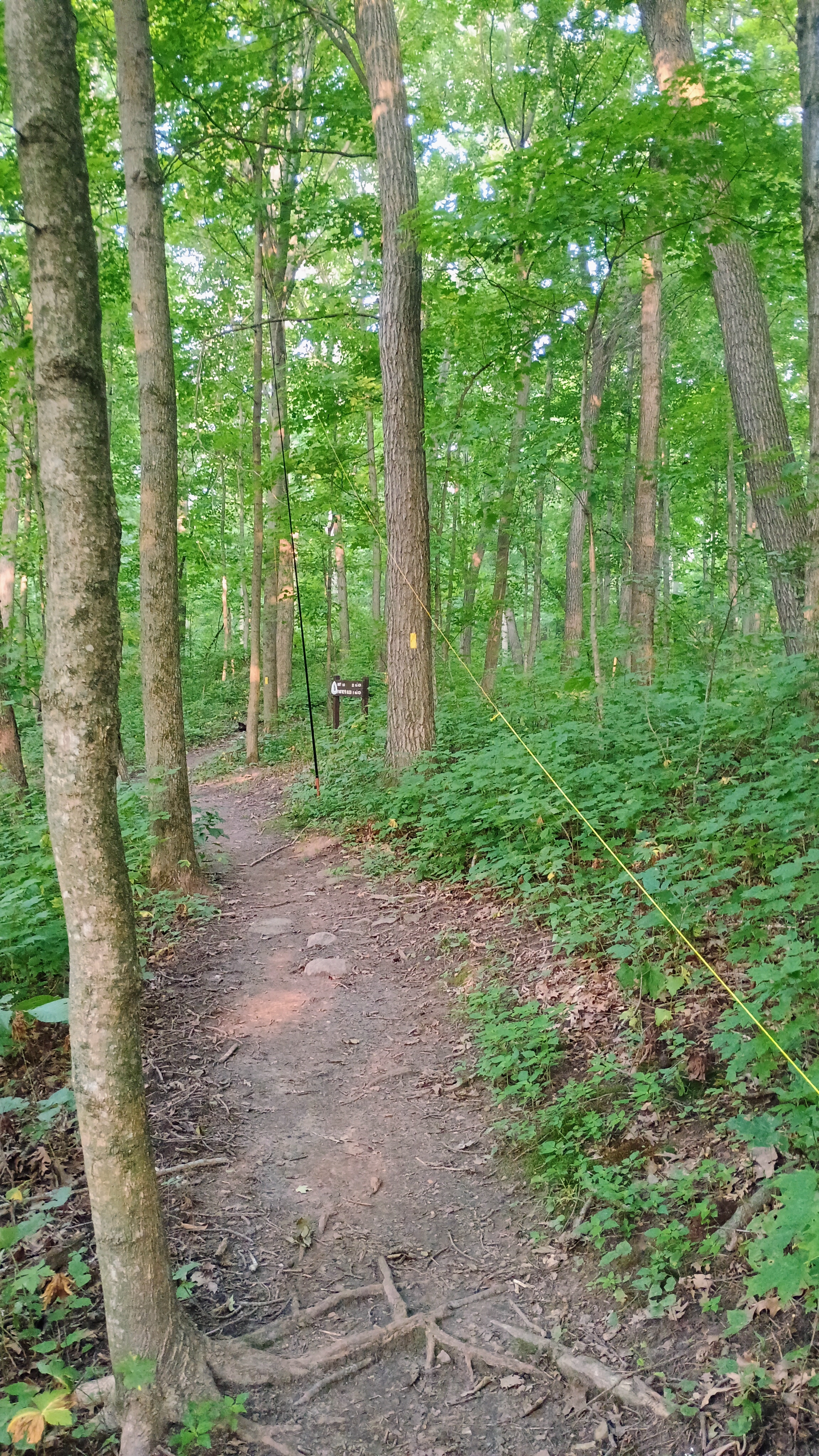
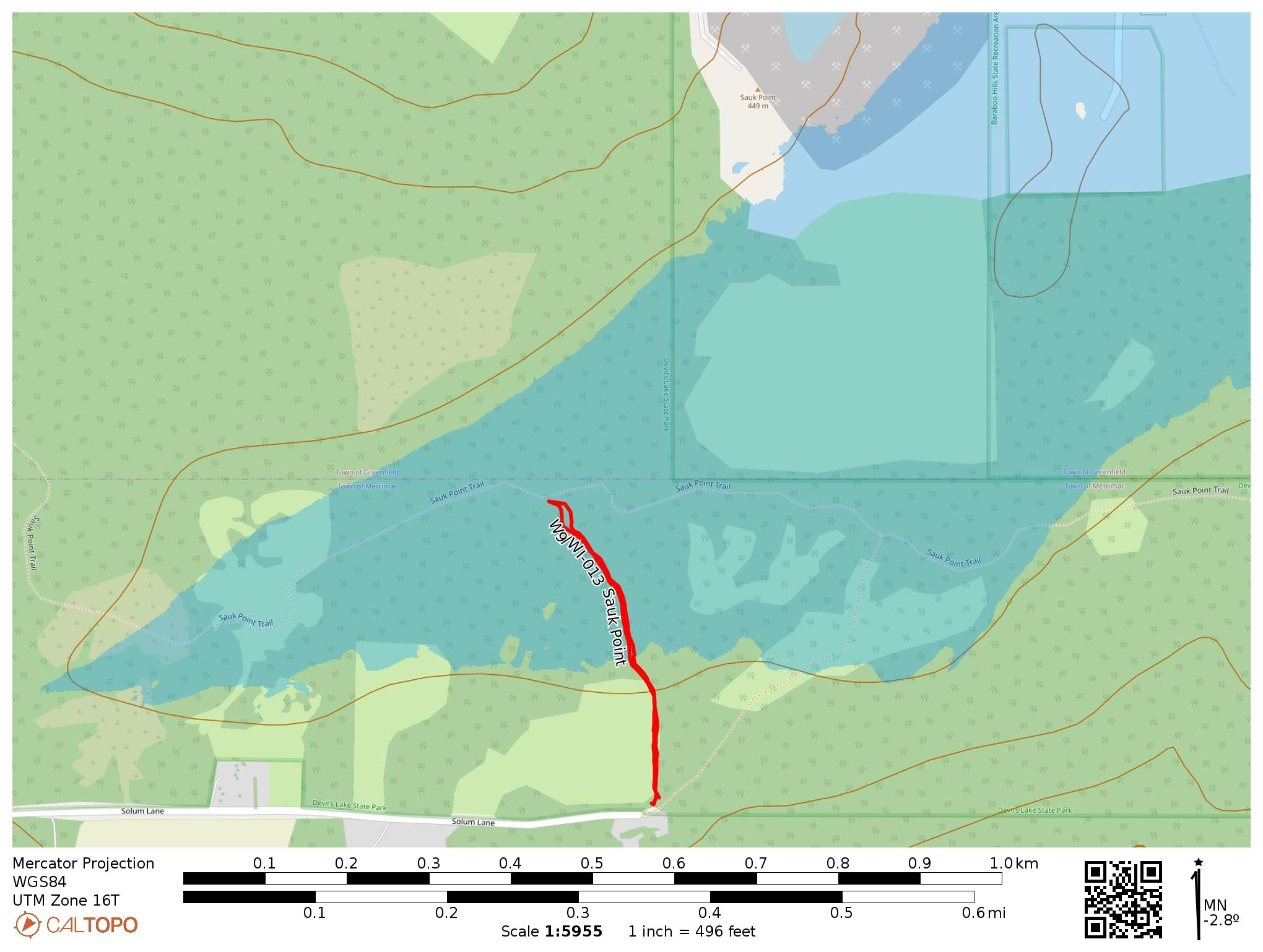
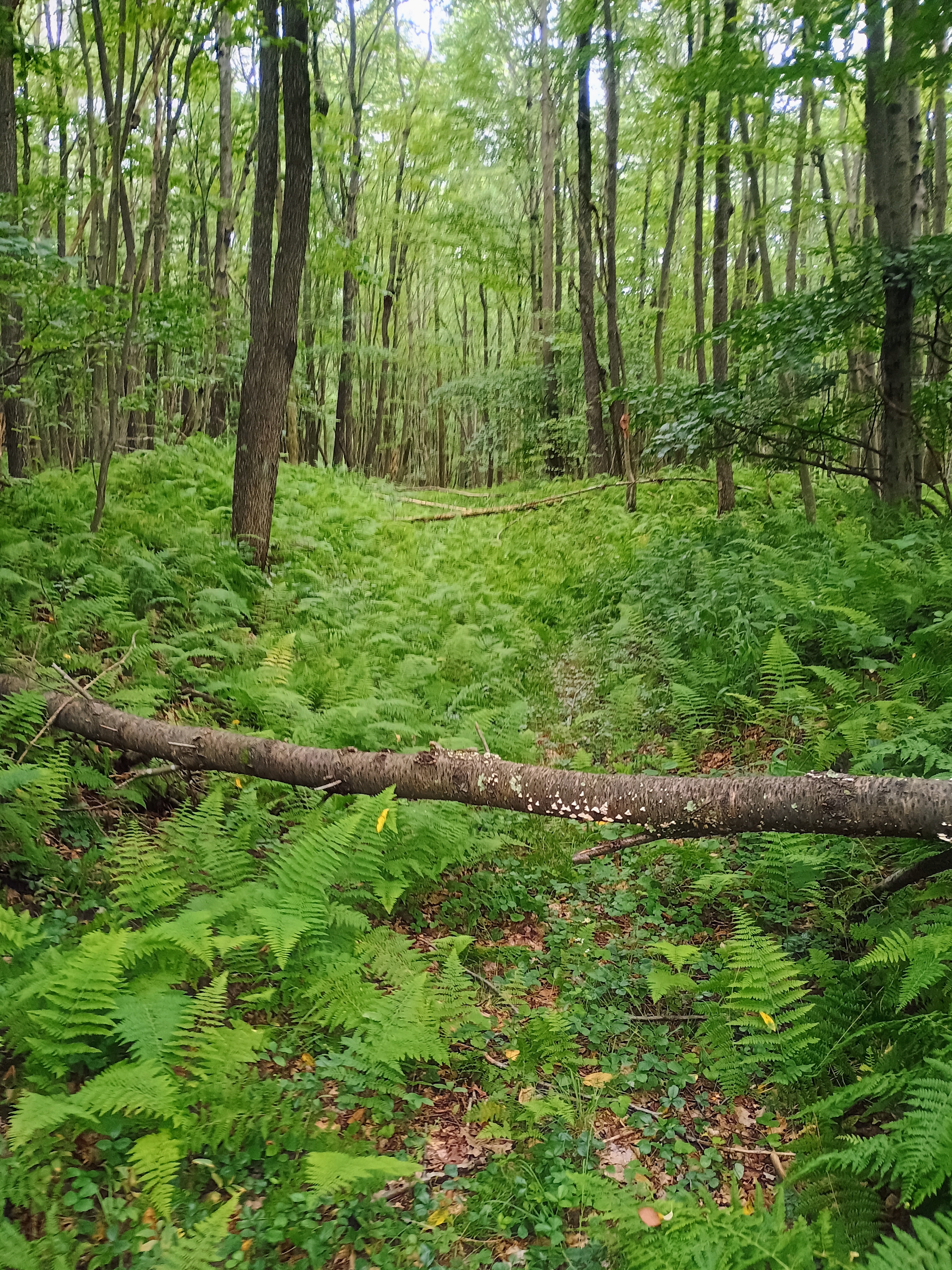
I drove here early in the morning on my way to Milwaukee to get a SOTA complete. Rather than drive to Sauk Point itself for a roadside activation, I hiked into the activation zone in Devil’s Lake State Park. I parked at the end of Solum Lane and followed a 0.25-mi spur of the Ice Age Trail until I reached the Sauk Point Trail. This intersection is within the activation zone, though CalTopo’s maps (both OpenStreetMap and MapBuilderTopo) incorrectly chart the trail as going northeast when the actual path is nearly due north from the parking area. The trail may have been rerouted at some point.

I strung my 40m EFHW up along the Sauk Point Trail, called CQ on 40m, and got 34 contacts in just a half hour on 40m alone, and had to pack up to move on to the next activation. I am really liking this inverted vee configuration for the end fed wire antenna, and I believe that it is excelling! The MTR3Bv4 is such a delight, too!

  • Trailhead: 43.42023, -89.66053 : Sauk Point Trail Parking Lot at end of Solum Lane.
  • Map:  [AA3TZ SOTA] [Devil’s Lake State Park Map]
  • Route: 0.5 mile RT hike on spur from Solum Lane parking lot to Sauk Point Trail
  • POTA: US-1449 Devil’s Lake State Park; US-4238 Ice Age National Scenic Trail

W9/WI-010 Blue Mounds

I was spending the night in Madison, WI, but before settling in, I drove about 30 miles west to Blue Mound, the high point of southern WI. This is a nice drive-on peak, though there was a day-use fee (13 dollars for “residents” driving vehicles with WI plates, so my rental car qualified). Pretty much everywhere in the main loop between the east and west observation towers is in the activation zone.

I found a quiet picnic bench to operate from. There were many people out on the Sunday afternoon, and the smell of campfires was all around. The air was smoky from the Canadian wildfires. Both observation towers are worth checking out!

I worked WU7H and WW7D S2S on 20m. They were both on W7W/KG-033. It was my first time working two operators using the prosign ‘AS’ to tell me to hang on for the second operator. Not much more to say about this one.

  • Trailhead: 43.34858, -89.60023 : Blue Mound State Park
  • Map:  [AA3TZ SOTA] [Blue Mound State Park Maps]
  • Route: 1.4 mile loop on Ice Age Trail/Old Road Path
  • POTA: US-1441 Blue Mound State Park

W3/PT-002 Boardman Ridge

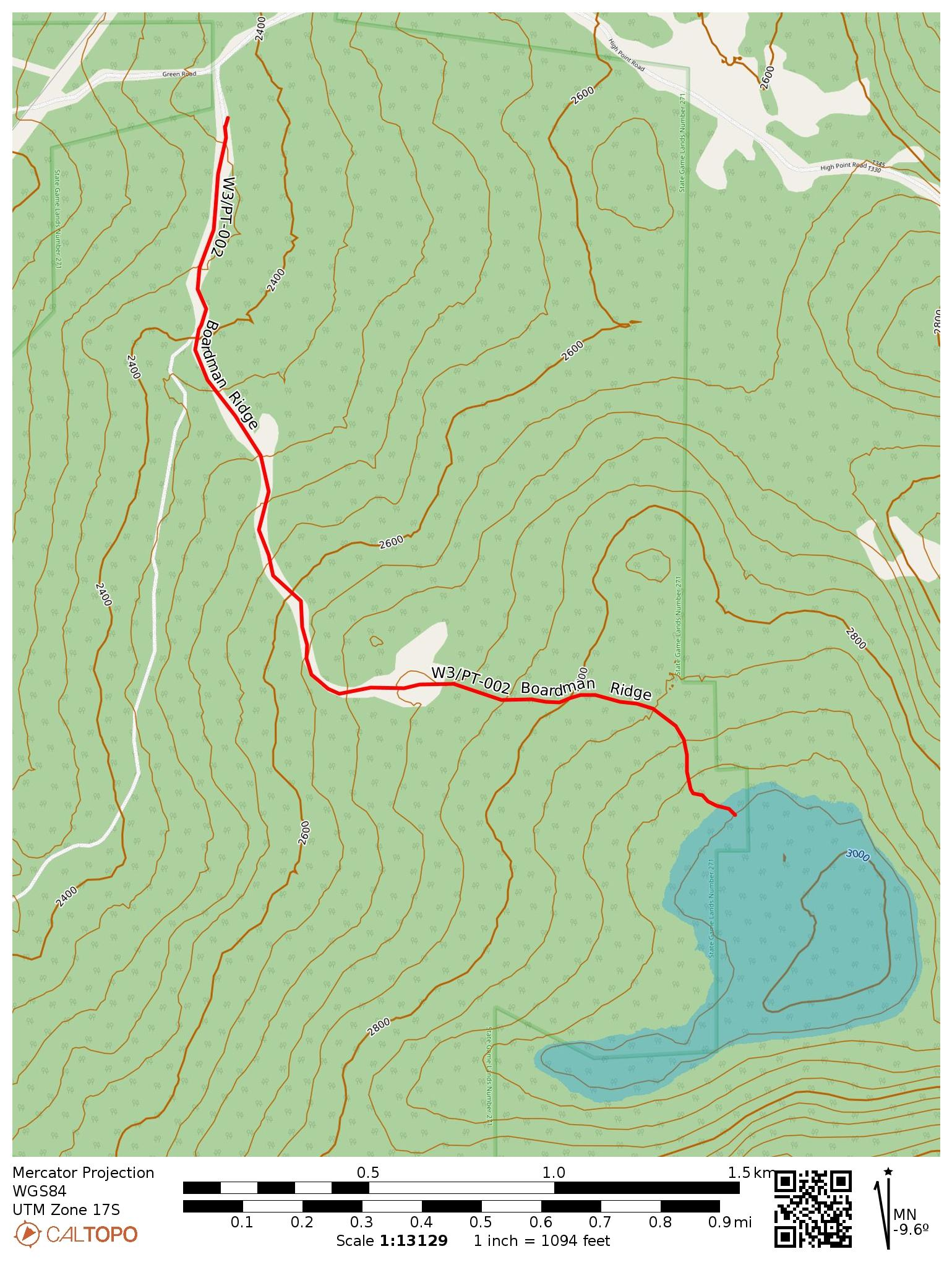
This peak has only been activated 12 times before my trip, which is surprising given that it’s only 20 minutes away from W3/PT-001 Mt Davis, the high point in Pennsylvania. The summit itself is on private property, but there is a path to the activation zone completely on public lands, through State Game Land 271. Dale N3HXZ and Jim KJ3D had recently tried this path out, and so I felt confident going for it myself. This time, I brought out my MTR3b v4 (the Currahee) for its first SOTA activation, along with a 40m EFHW tuned for deployment as an inverted vee.

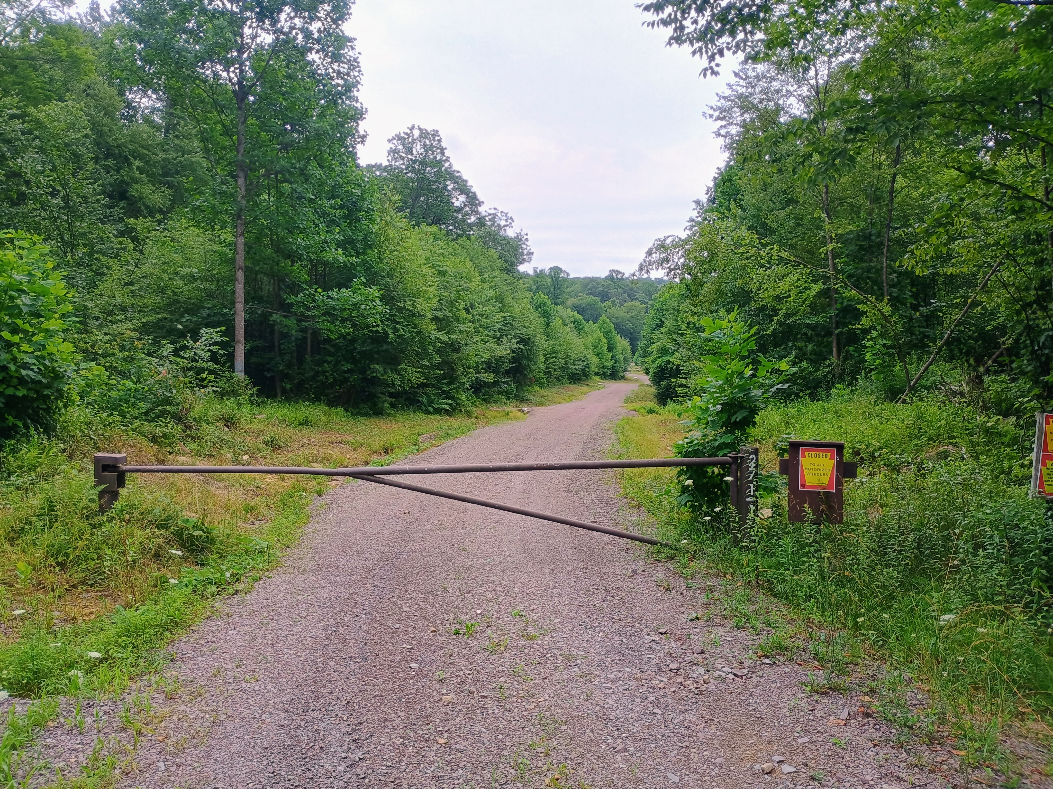
The initial hike from the gate in the parking area was no problem, and followed a dirt road. A little over a mile in, the trail opens up into a large clearing and it becomes more difficult to find the the trail. From here, you basically need to walk east and follow the easiest path that takes you to a higher elevation. The state game commission map for the area was last published in 2012, and indicates a road should continue east from this clearing, although it appears that the state has let this road be reclaimed by vegetation. If you attempt this in the summer, make sure to take all tick-related precautions you can. I finally got around to treating set of hiking clothes with permethrin, so I felt confident trudging through the taller grass.
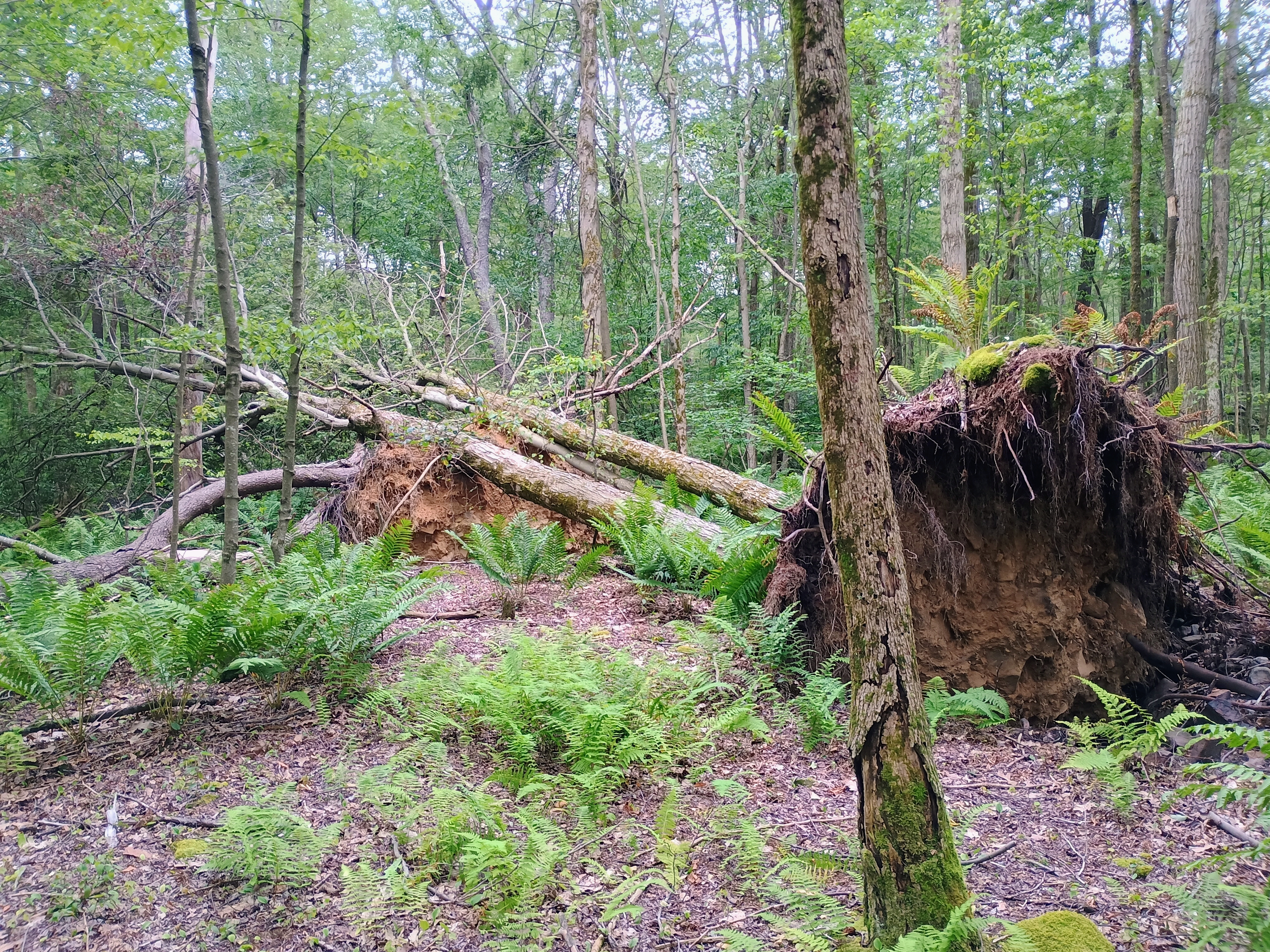
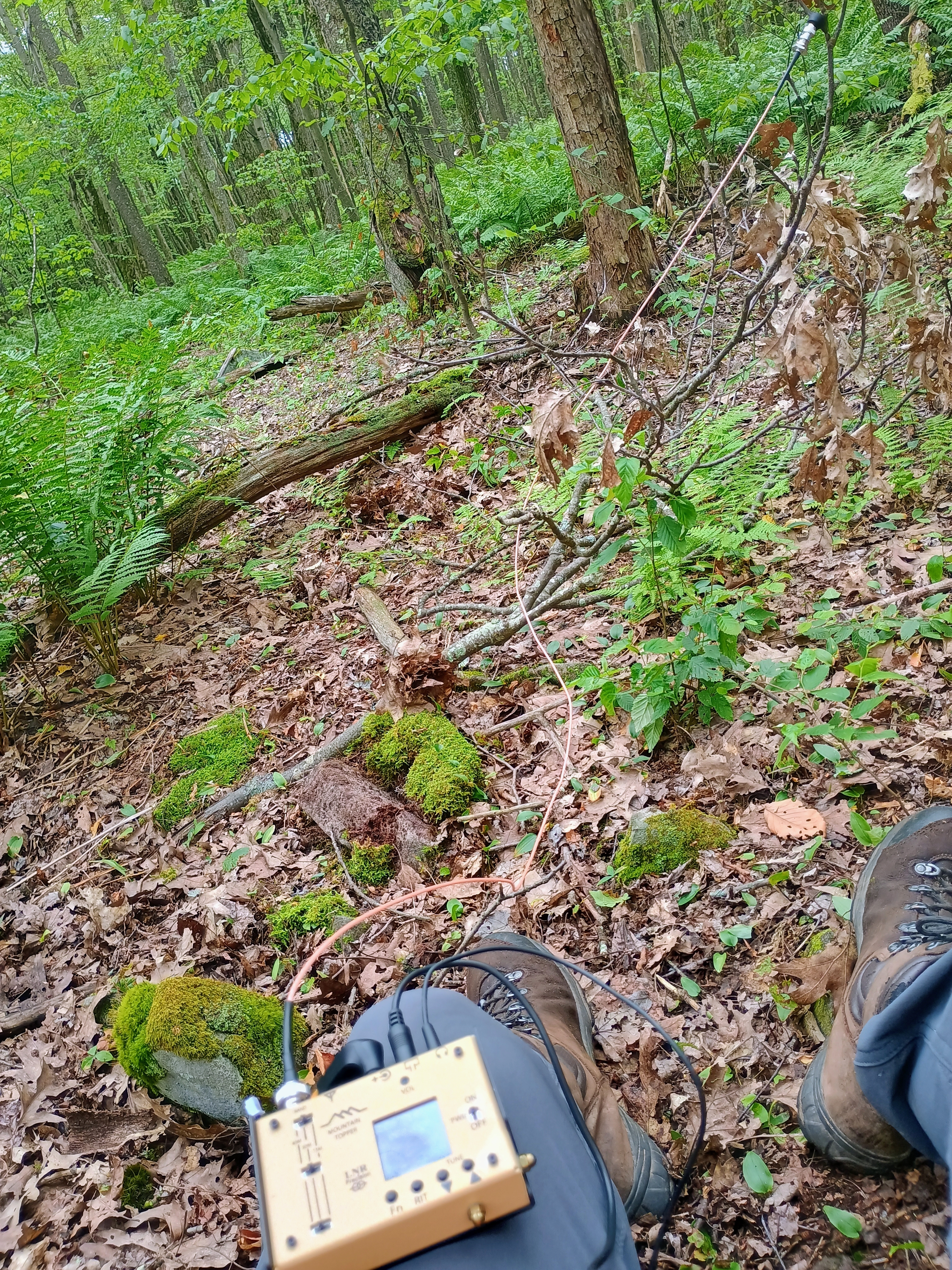
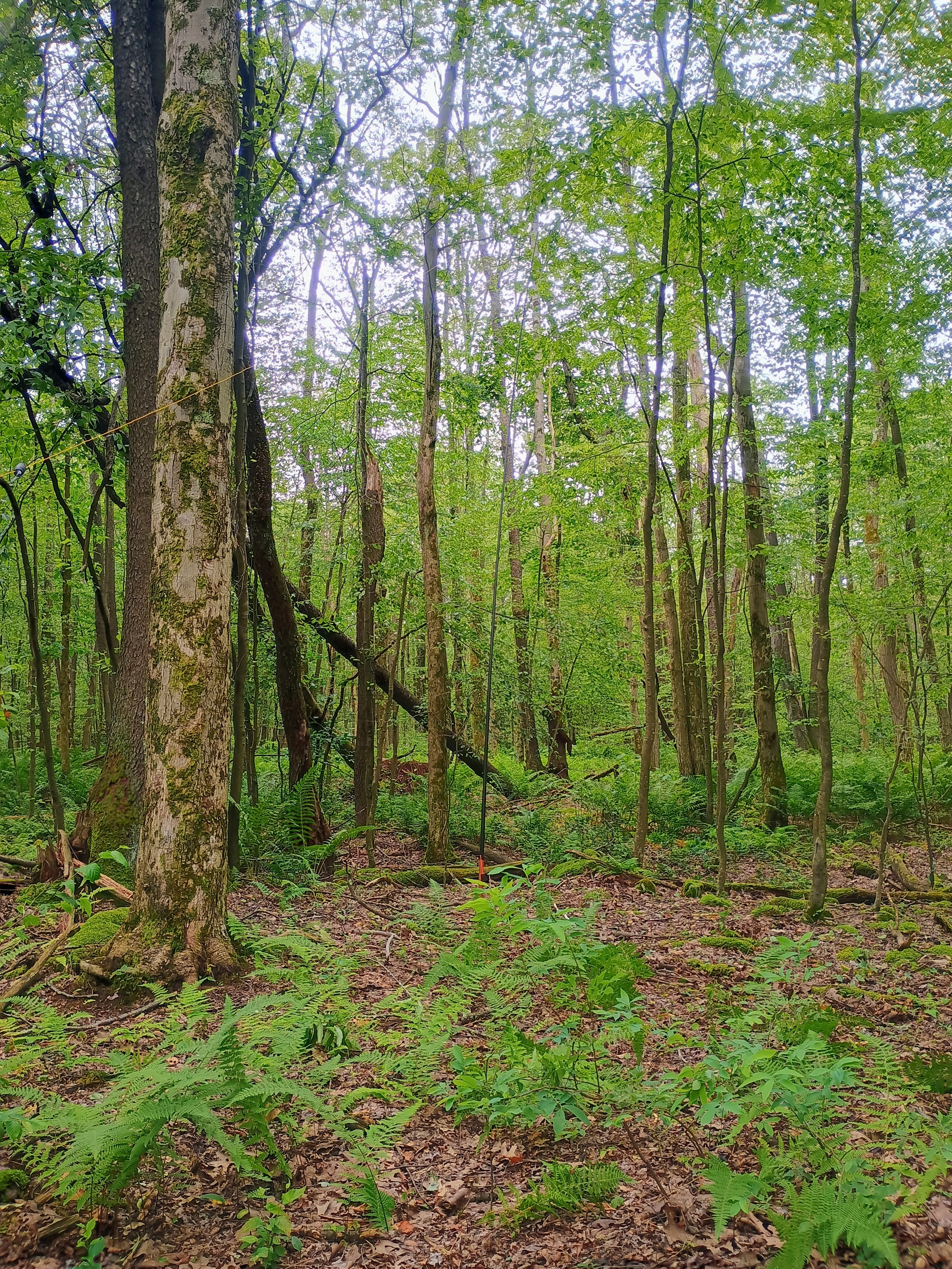
I did lose the trail a couple times, but the last 0.25 miles were going to be a bushwhack regardless. I just used my compass to help me continue moving east and generally followed the hill up. Just at the edge of the game land, where it overlaps the activation zone, was a good clearing to set up and operate. The inverted vee worked well, but I also think the bands were cooperating this morning! A porcupine ambled through the forest about 20 feet away from me as I was working, and it was huge! I didn’t get a good picture, unfortunately.

I scored 31 QSOs in about an hour on 40m and 20m, including three S2S contacts: KC1ONG on W1/NL-004 in New Hampshire via 20m, K2JB on W4V/GC-018 in Virginia via 40m, and AA4K on W4T/SU-068 in Tennessee. I really enjoyed using the radio and am puzzled by its negative reception among some commentators online. Most complaints seem to single out the LED screen, which I could see becoming hard to read in direct sunlight. Since western PA hikes usually have tree cover (and the sky is often overcast), I feel like that isn’t going to be a problem in most cases.

This hike is worth adding on to nearby Mount Davis, which is a drive-on. I did just that!

  • Trailhead: 39.78370, -79.26640 : State Game Land 271 Parking Lot. I had to take it slow for the last few tenths of a mile, as the road was pretty rough.
  • Map: [AA3TZ SOTA] [PA Game Commission Map] – The last portion of my route is approximate, as it was a bushwhack.
  • Route: 4.0 mile RT hike. Roughly 0.5 mile bushwhack.
  • POTA: US-8966 PA 271 State Game Land

VE2/ES-009 Mont Sutton

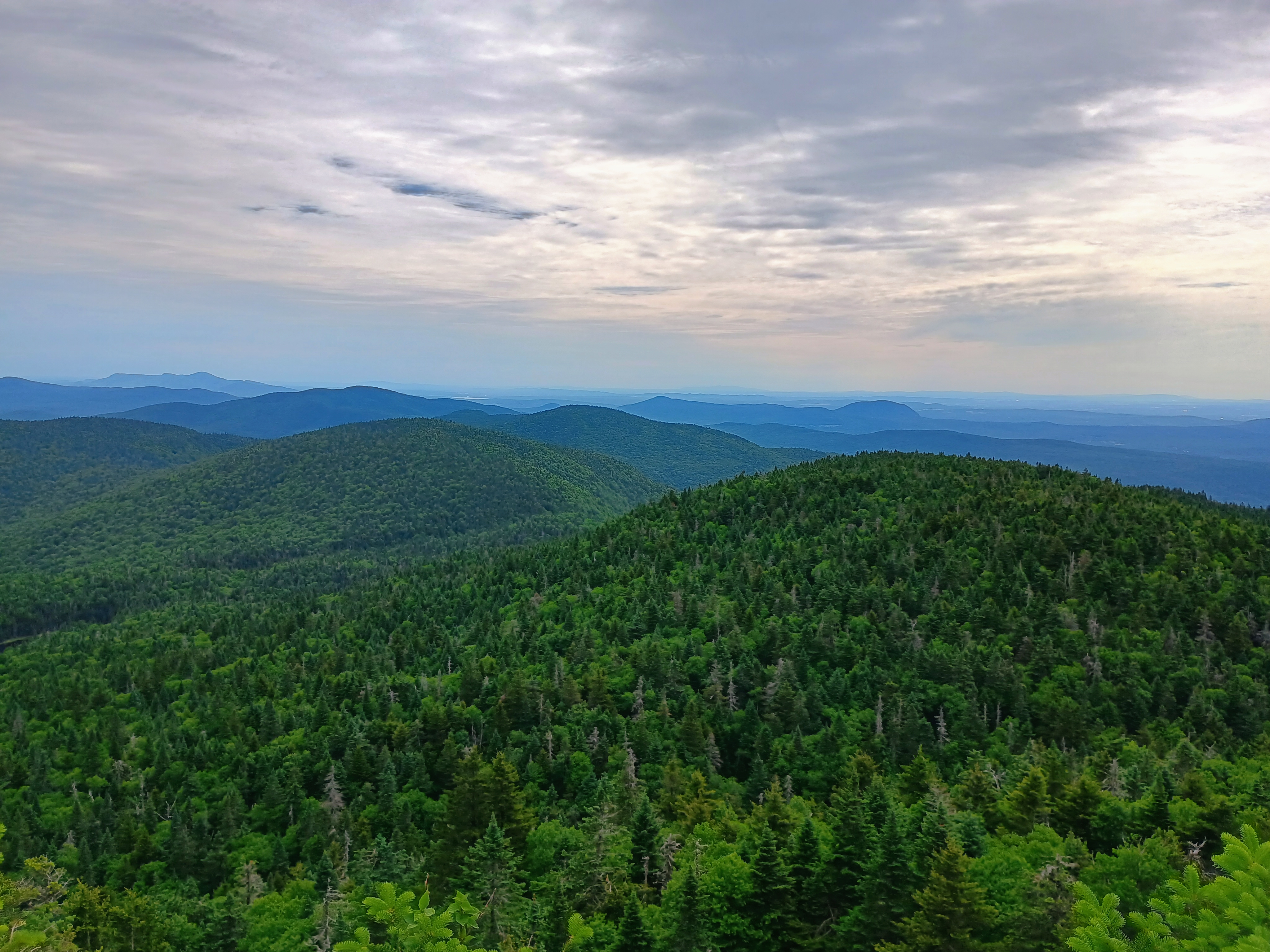
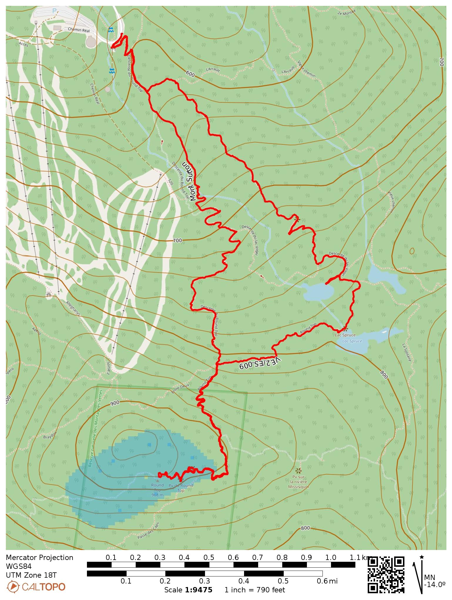
On the last day of my trip to Montreal, I had the opportunity to drive around the Eastern Townships of Quebec to try for three peaks. First on the list was Mont Sutton, which Eric VA2EO recommended I try for its views of the Green Mountains of both Quebec and Vermont.

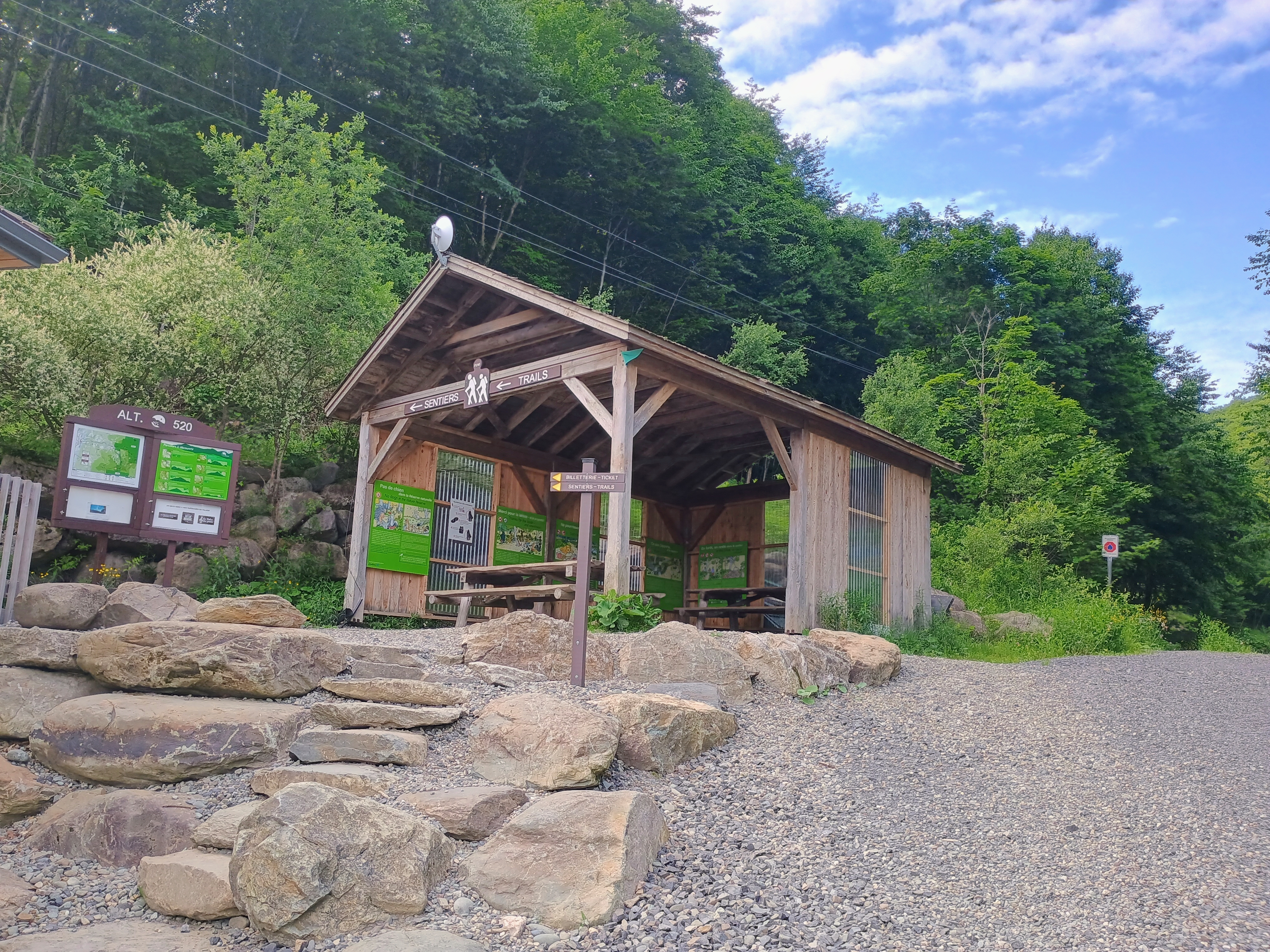
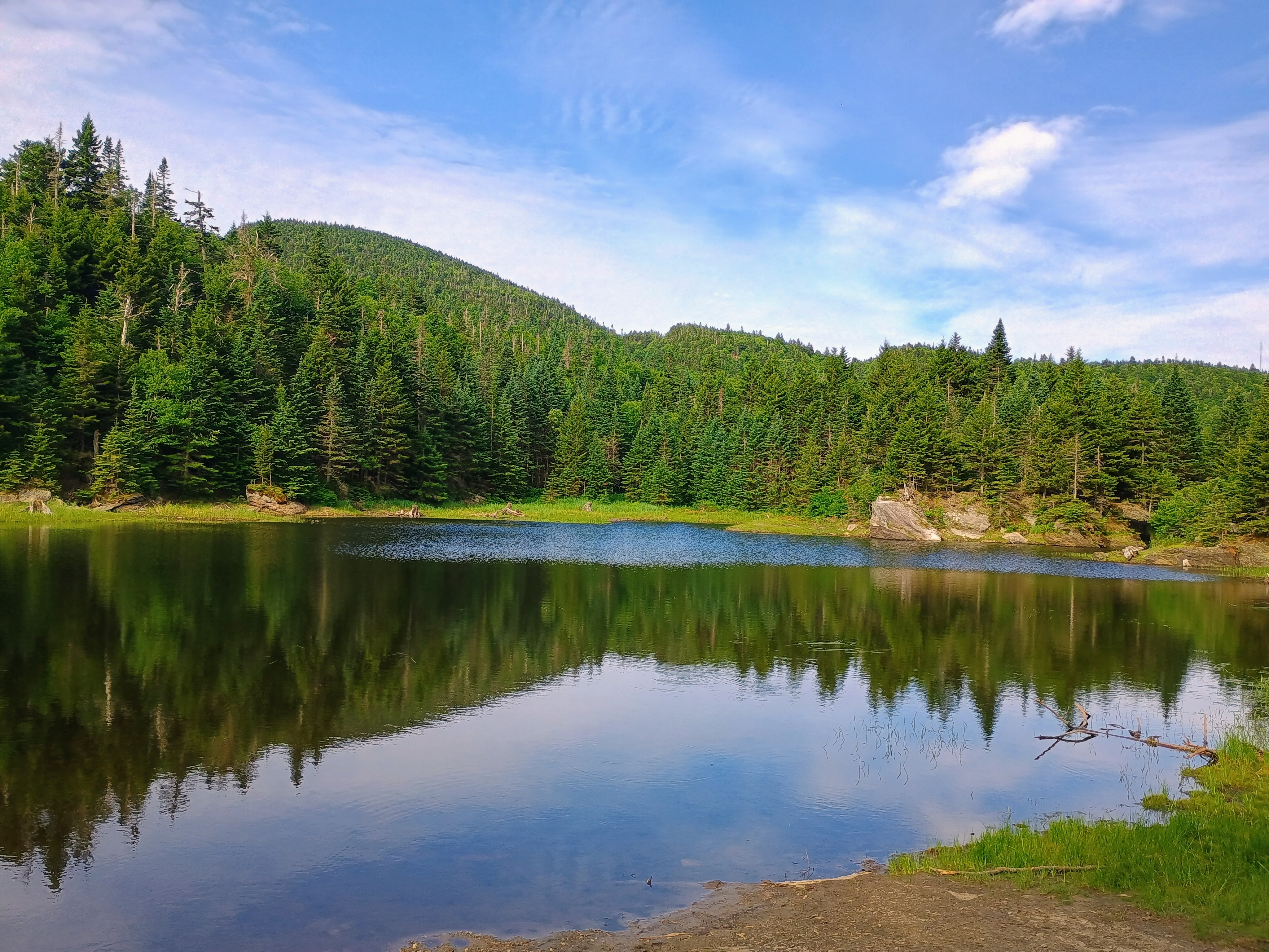
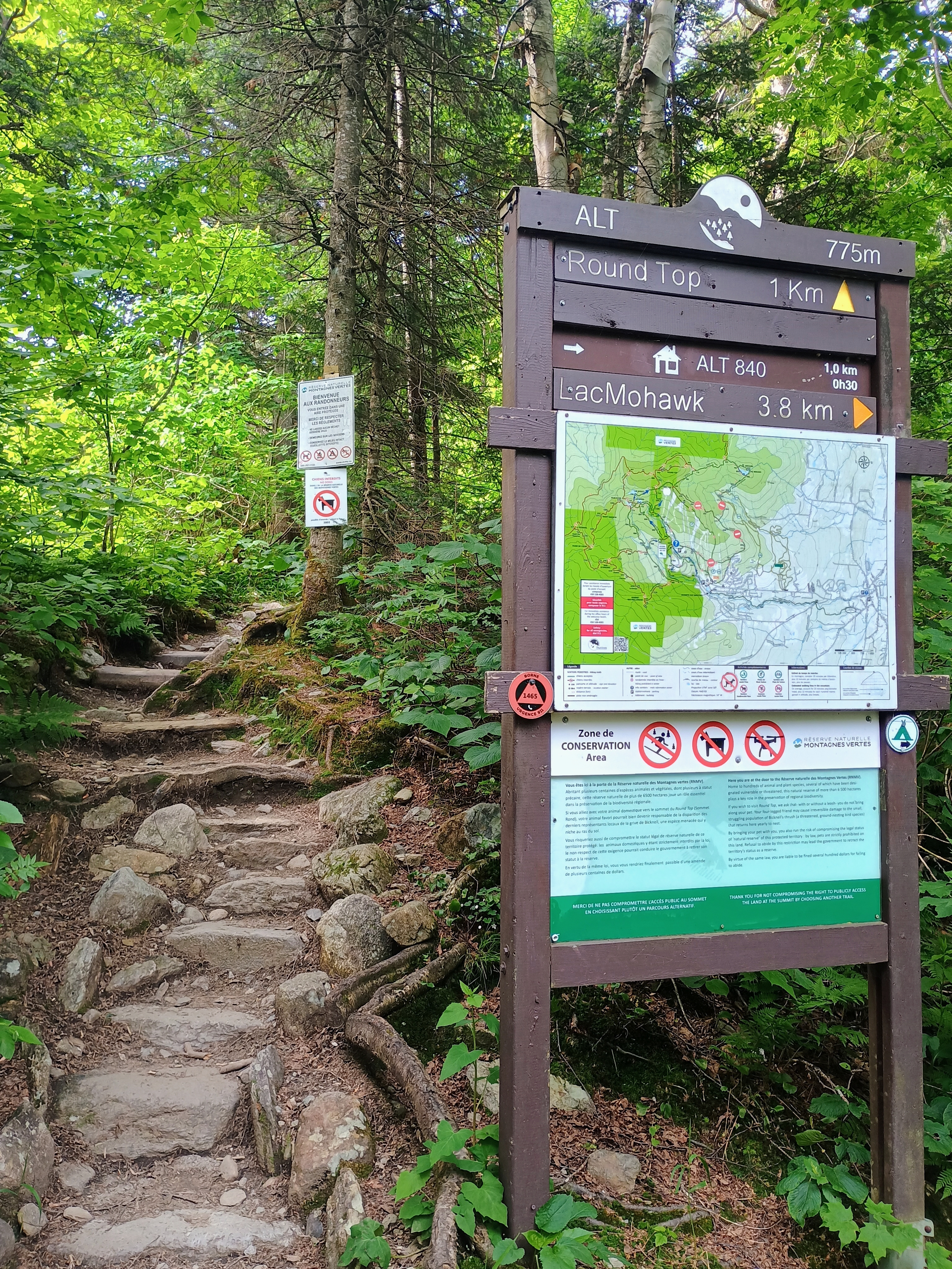
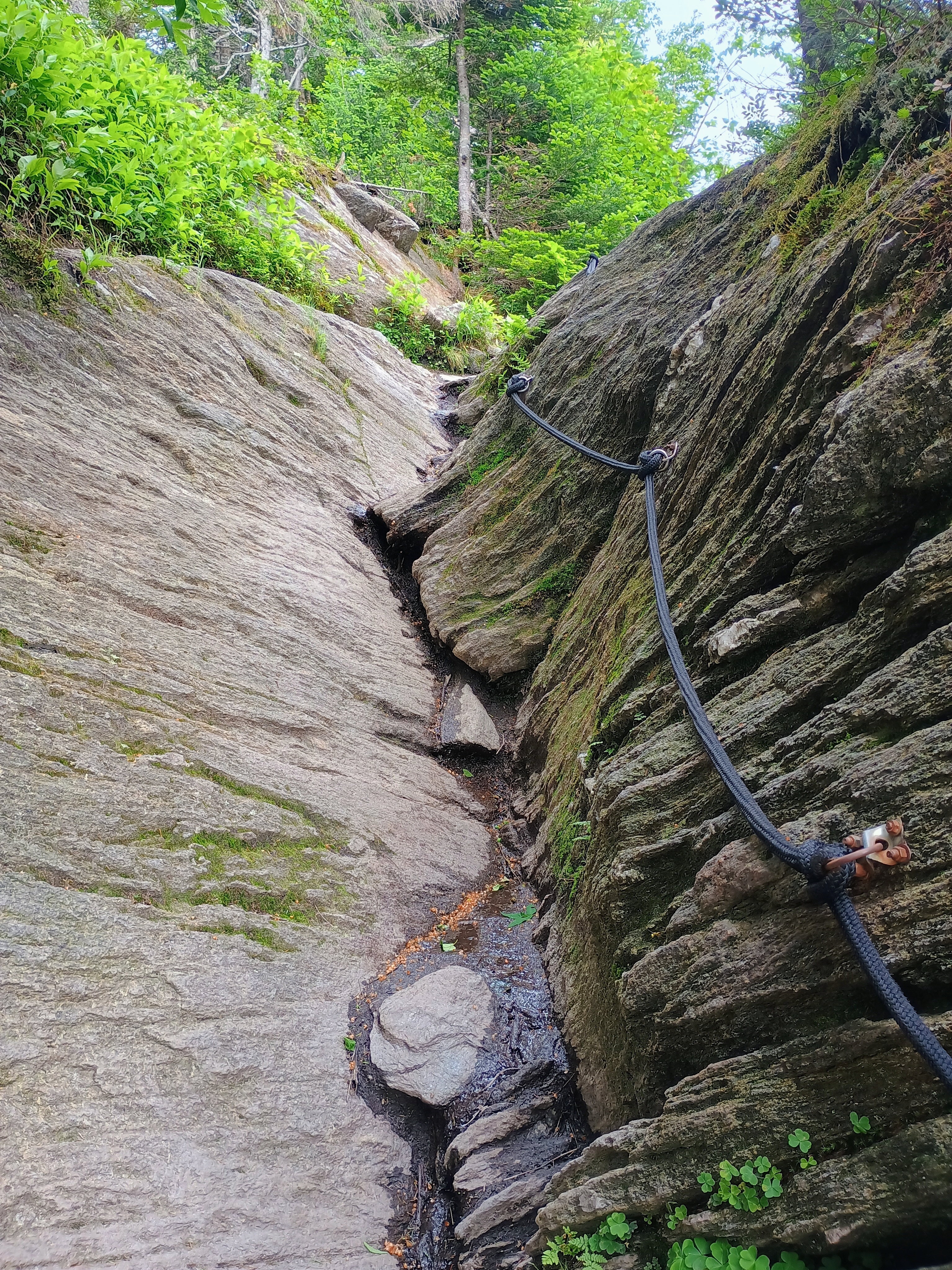
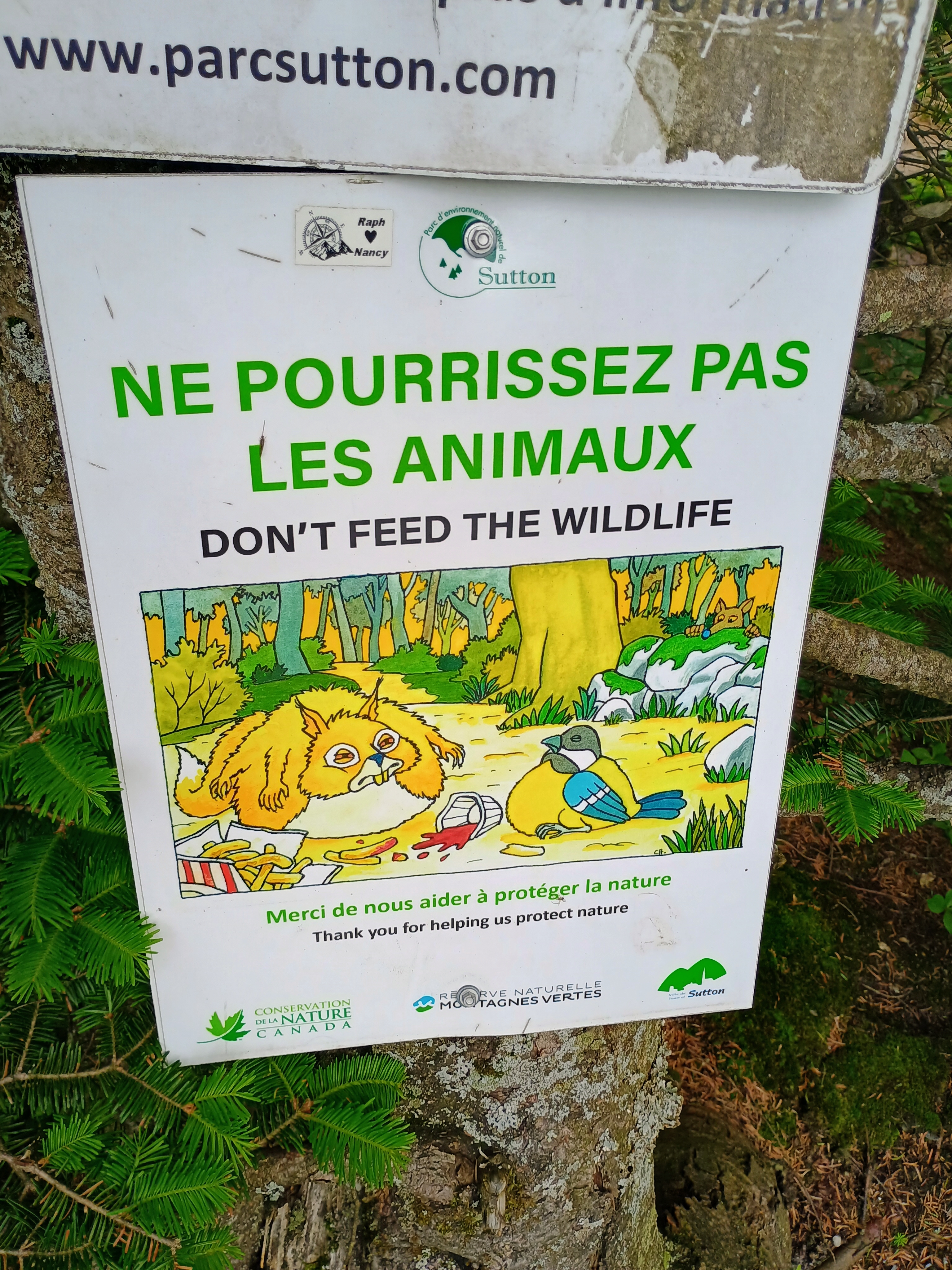
Nobody was present at the ticket booth to collect fees when I arrived early in the morning, so I’m not sure if an entry fee is normally required. The hike followed a one-way path that passed by a few beautiful mountain lakes, with separate trails for ascent and descent. The trail is well-maintained and there is plenty of signage to follow along to Round Top. Lake Vogel is a <0.1 mi detour that is well worth checking out!

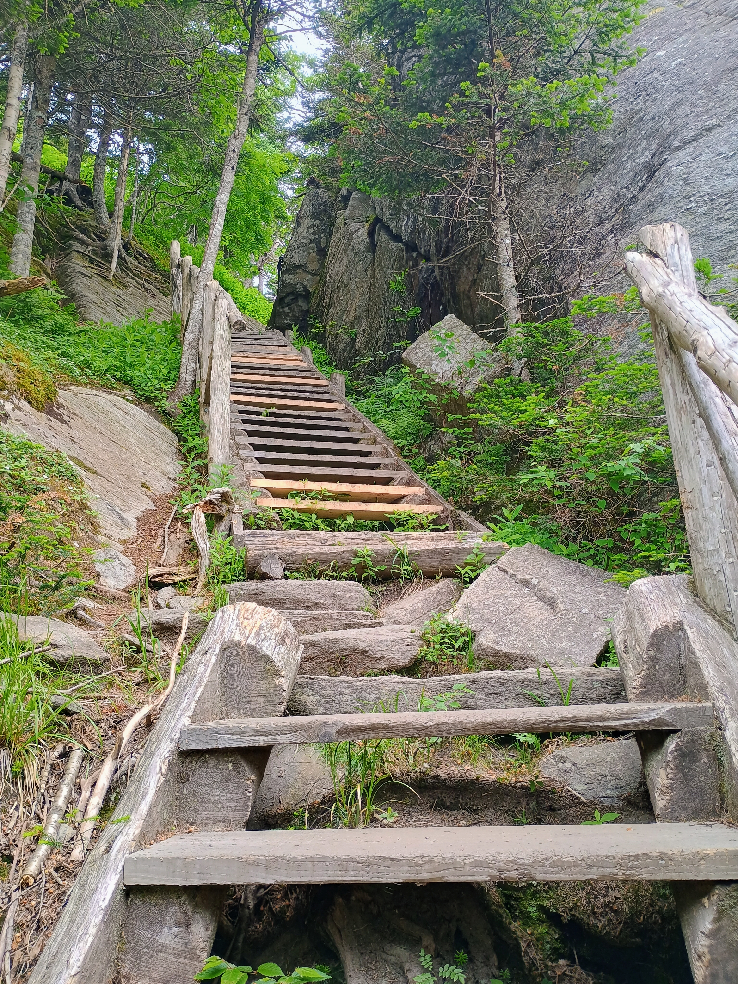
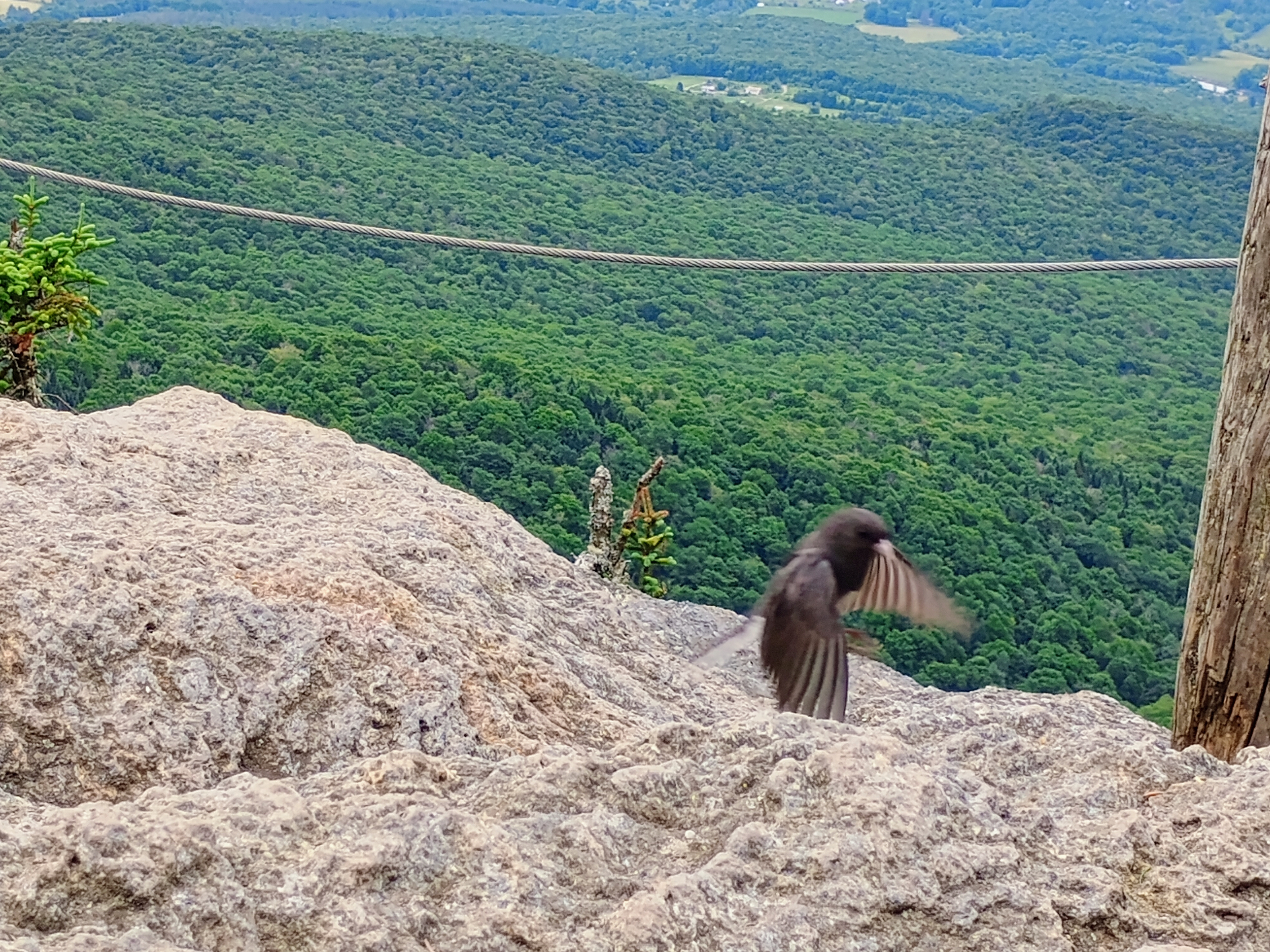
This was a significant climb, with over 1400 feet of gain, with a round trip hike just under 5 miles. Close to the peak of Round Top, I crossed over into the Green Mountain Natural Reserve, POTA CA-2158. I was able to tie my mast to a fence post and set up my radio on a rocky vista point. The mosquitos were huge up here!

This was a great hike! I highly recommend checking it out if you’re in the area. I had a couple more hikes to go, so I hustled down the mountain to drive to the next spot: Mont Foster.

  • Trailhead/Parking: 45.09728, -72.54833 : Parc d’environnement naturel de Sutton – PENS
  • Map: [AA3TZ SOTA]
  • Route: 4.9 mile loop hike, including an out-and-back spur to the peak. About 1400 feet of gain.
  • POTA: CA-2158 Montagnes Vertes Nature Reserve

VE2/ML-004 Mont Royal

I was in Montreal for a conference and had some time to hike up to Mount Royal, which is something that I had always wanted to do, but did not have the chance when I first visited the city in 2011. A rather nasty heat wave was rolling over the east coast, so I made sure to take things slow. I brought my KX2 and AX1 loaded whip to keep the activation casual, since I assumed there would be a lot of people around.

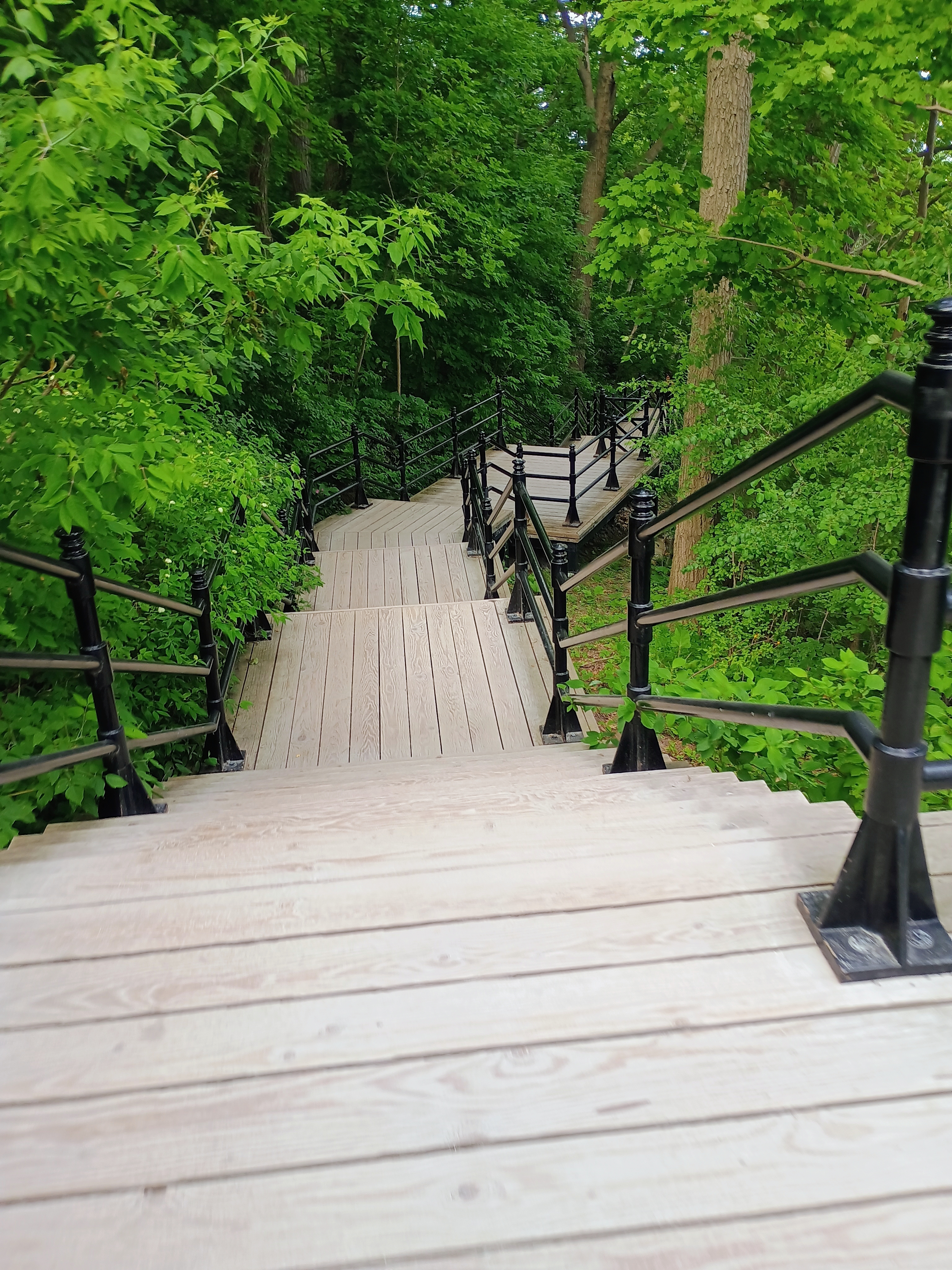
I walked from my hotel in Chinatown to the edge of the Rue Peel steps, passing through McGill University on the way. From there, I took the famous stairs up. I guess it was about 400 steps, but there was plenty of tree cover so it was pleasant getting up.

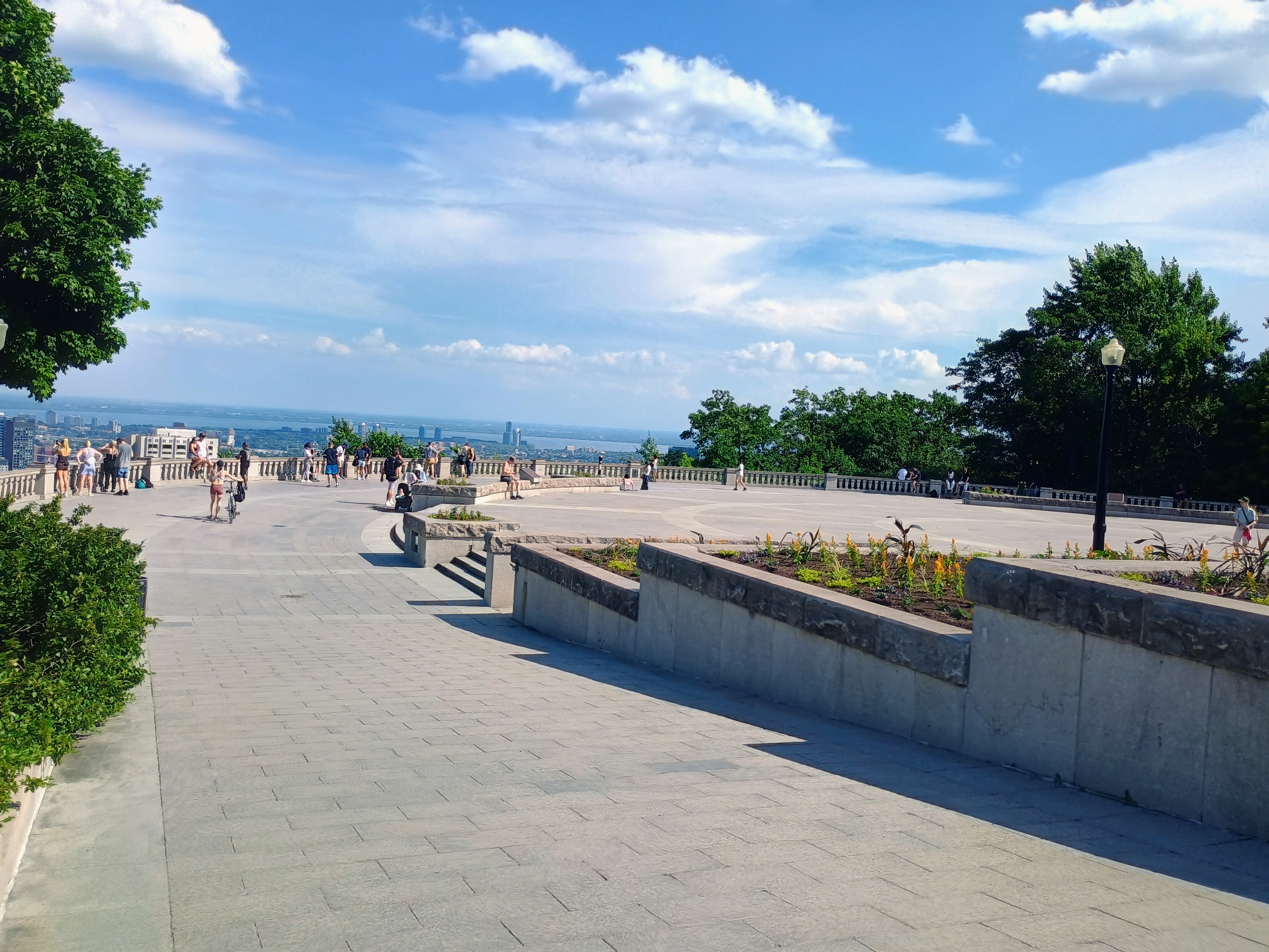
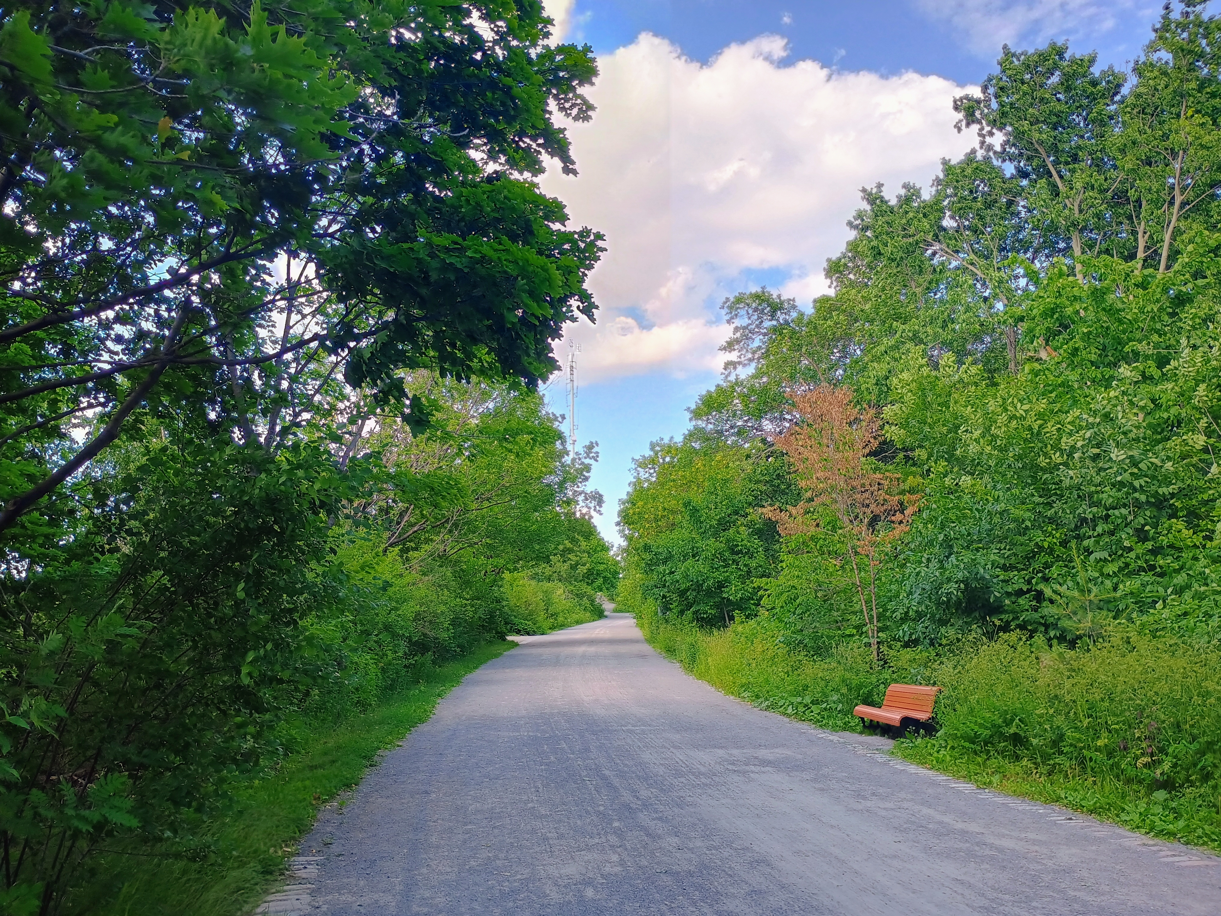
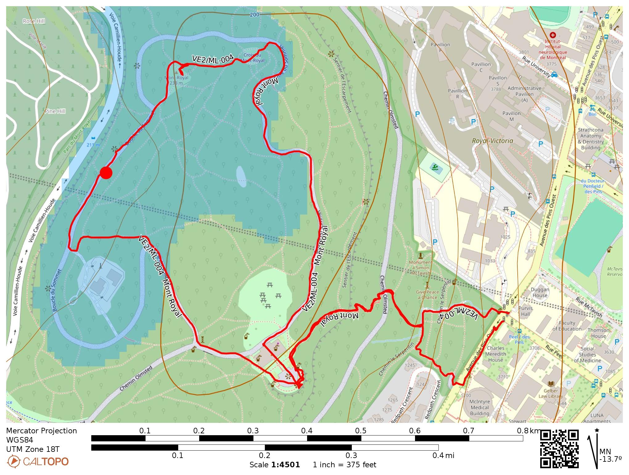
At the top, I enjoyed the view for a time, then found the Olmstead Trail. I followed the trail until I found a bench within the activation zone. This gravel path was a bit out of the way from the heavy crowds at the café, so I could comfortably set up and operate for a while.

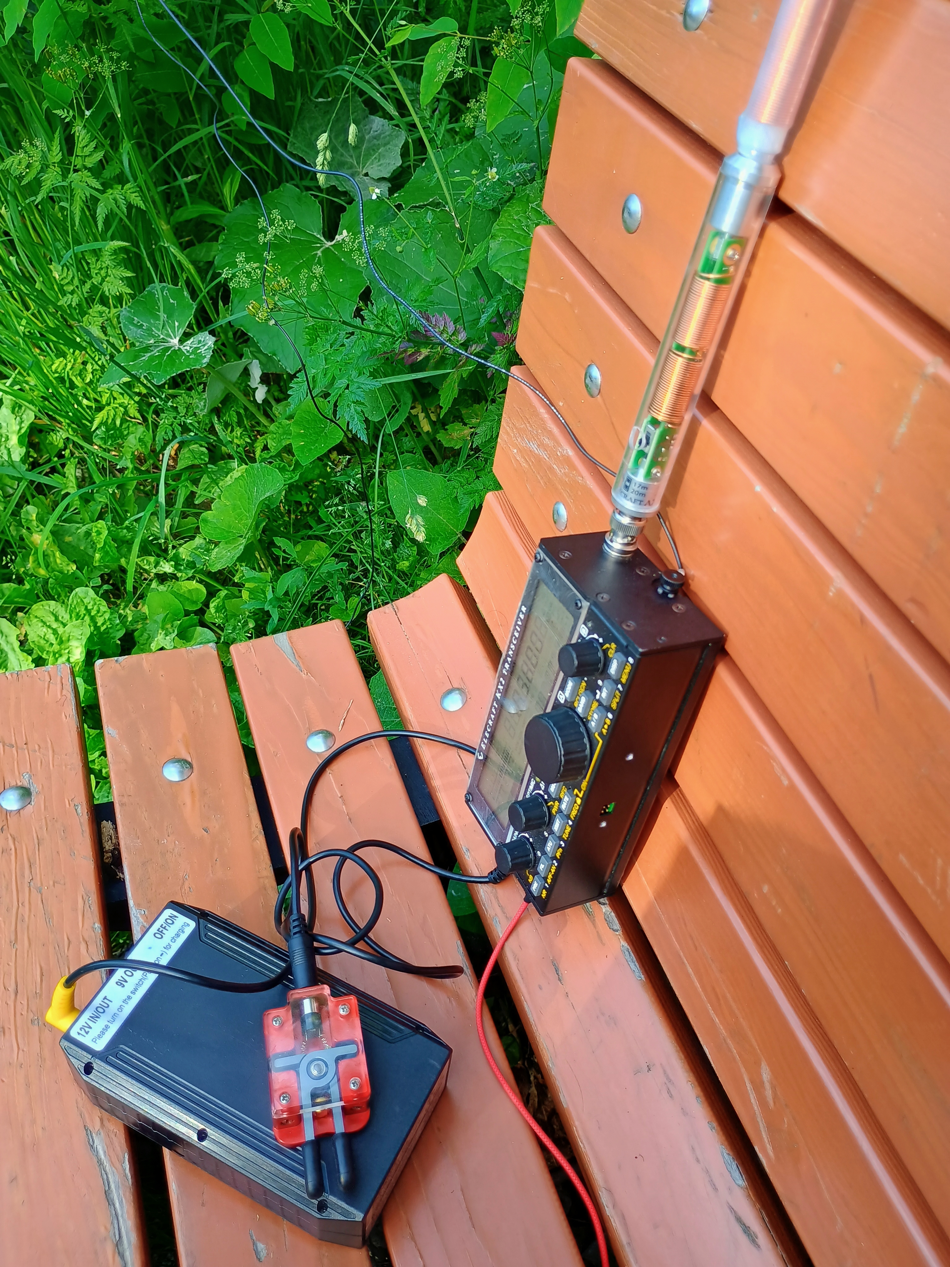
I had left my coax in the hotel room, so I had to connect the antenna directly to the radio and balance it next to me on the bench, letting the counterpoise hide along the plants off the trail. This ended up working just fine, though I had to stick around for a while to get my 10 contacts for the POTA credit. Shout out to Éric VA2EO who worked me on 40m and gave me advice on SOTA summits in the Montreal/Eastern Townships area that made this trip so successful! I also appreciate the duo WA3TVH and KA3JNU who chased me on 40m at the very end of the activation, and appear to be a POTA-chasing couple from eastern PA, much like the esteemed W0MNA and W0ERI beloved by SOTA activators.

  • Trailhead: 45.50455, -73.58182 : The steps at the intersection of Peel and Pine
  • Map: [AA3TZ SOTA]
  • Route: 2.3 mile loop hike up the staircase and around the park, about 400 steps in the staircase.
  • POTA: CA-0511 Mont Royal Regional Park